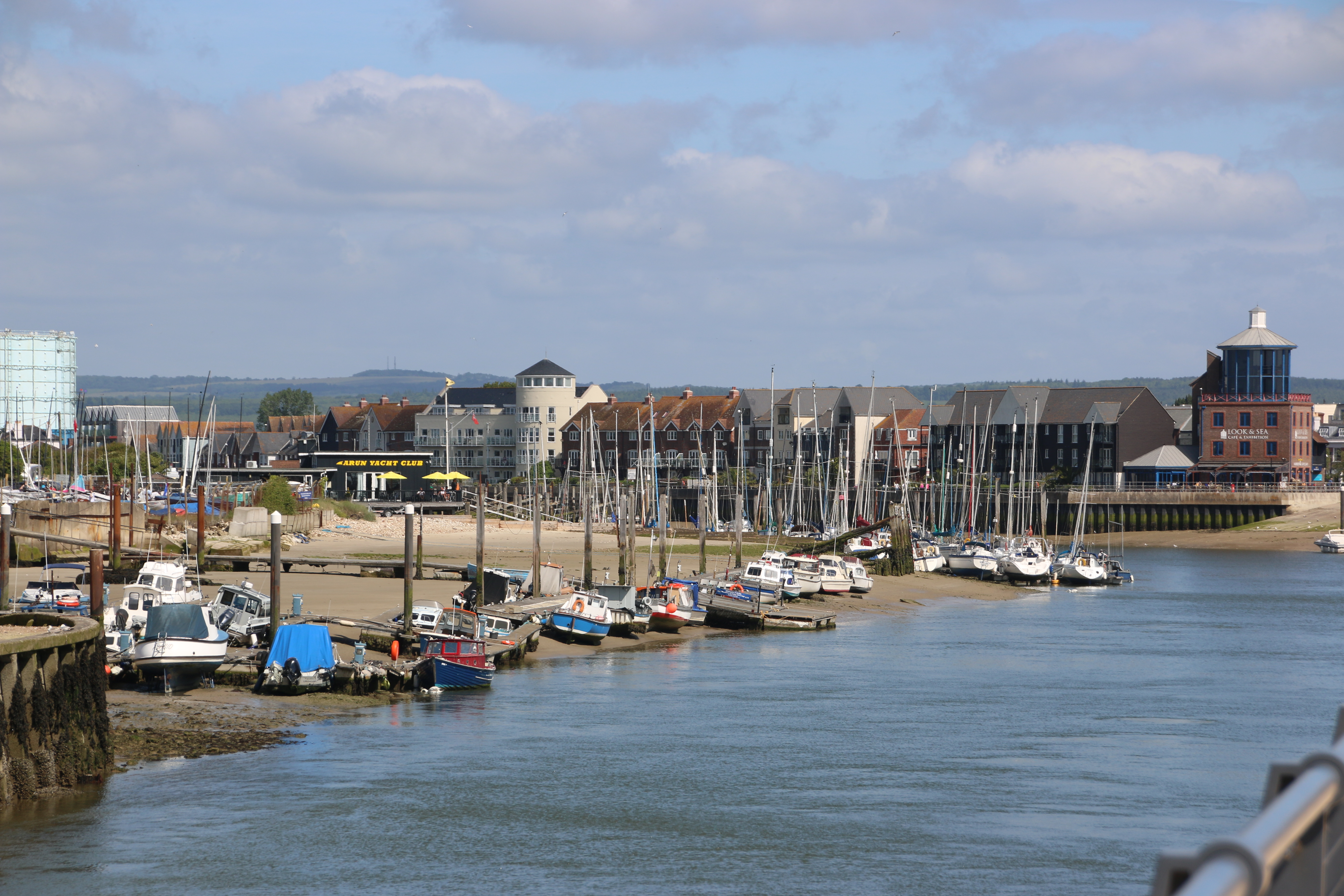
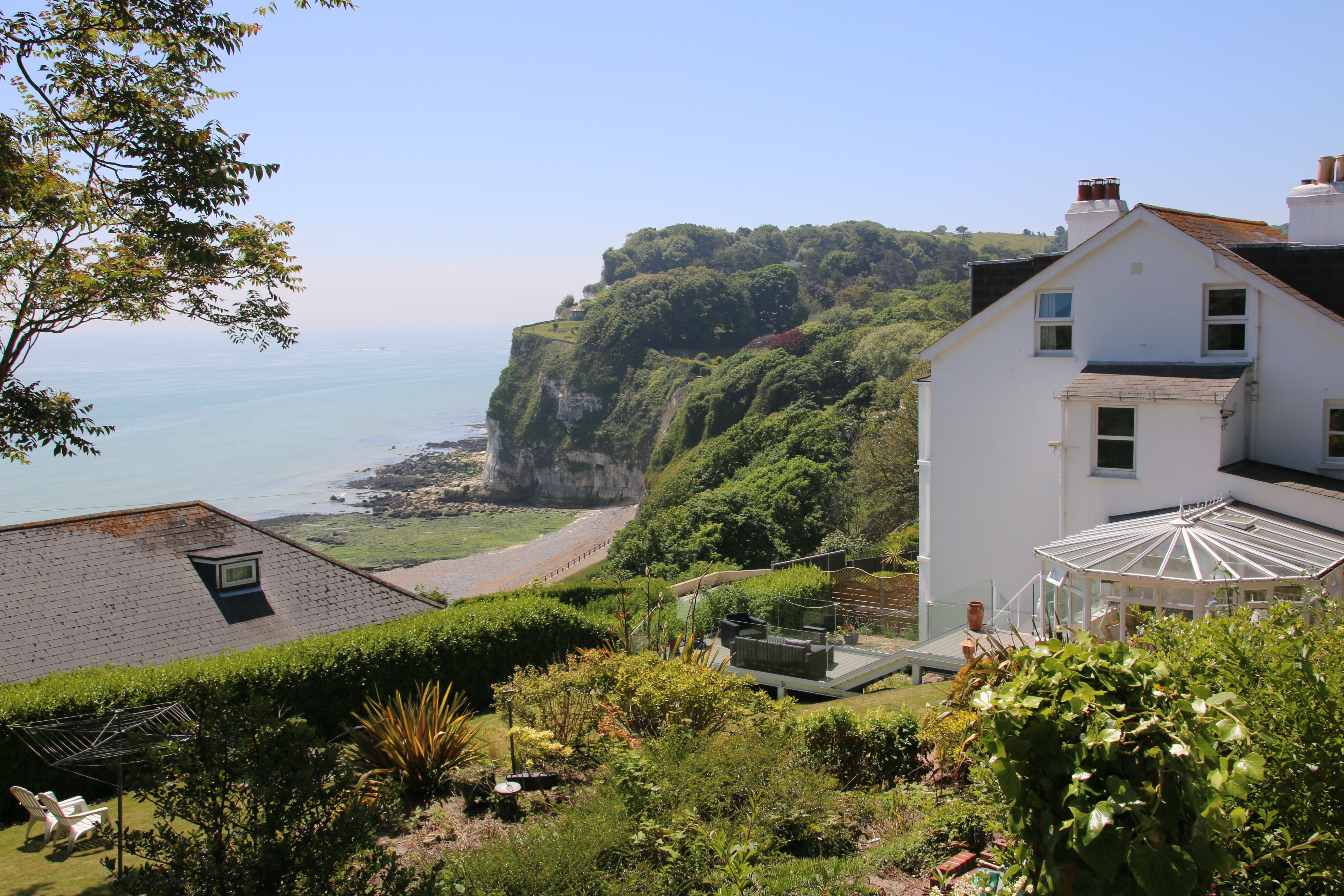
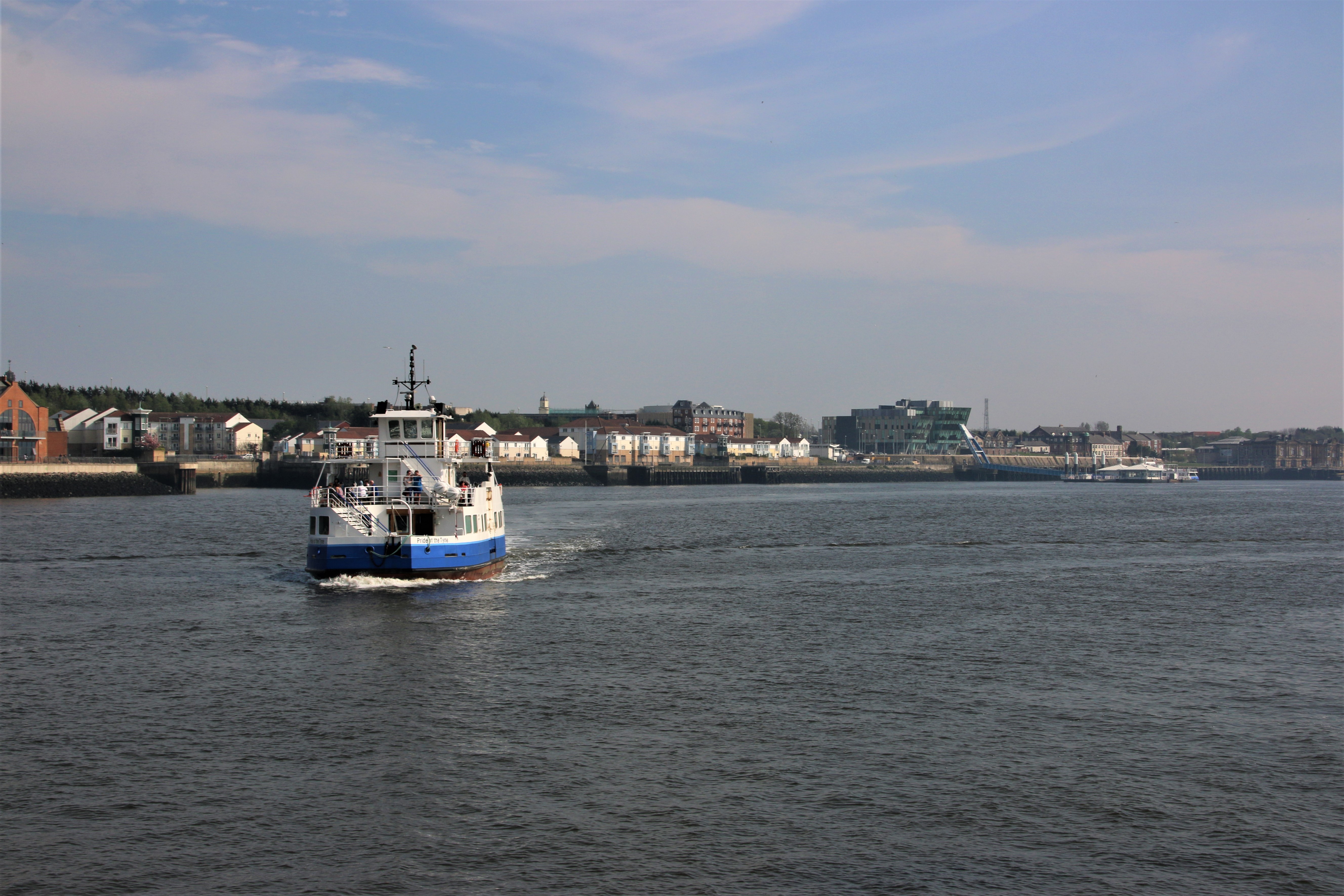
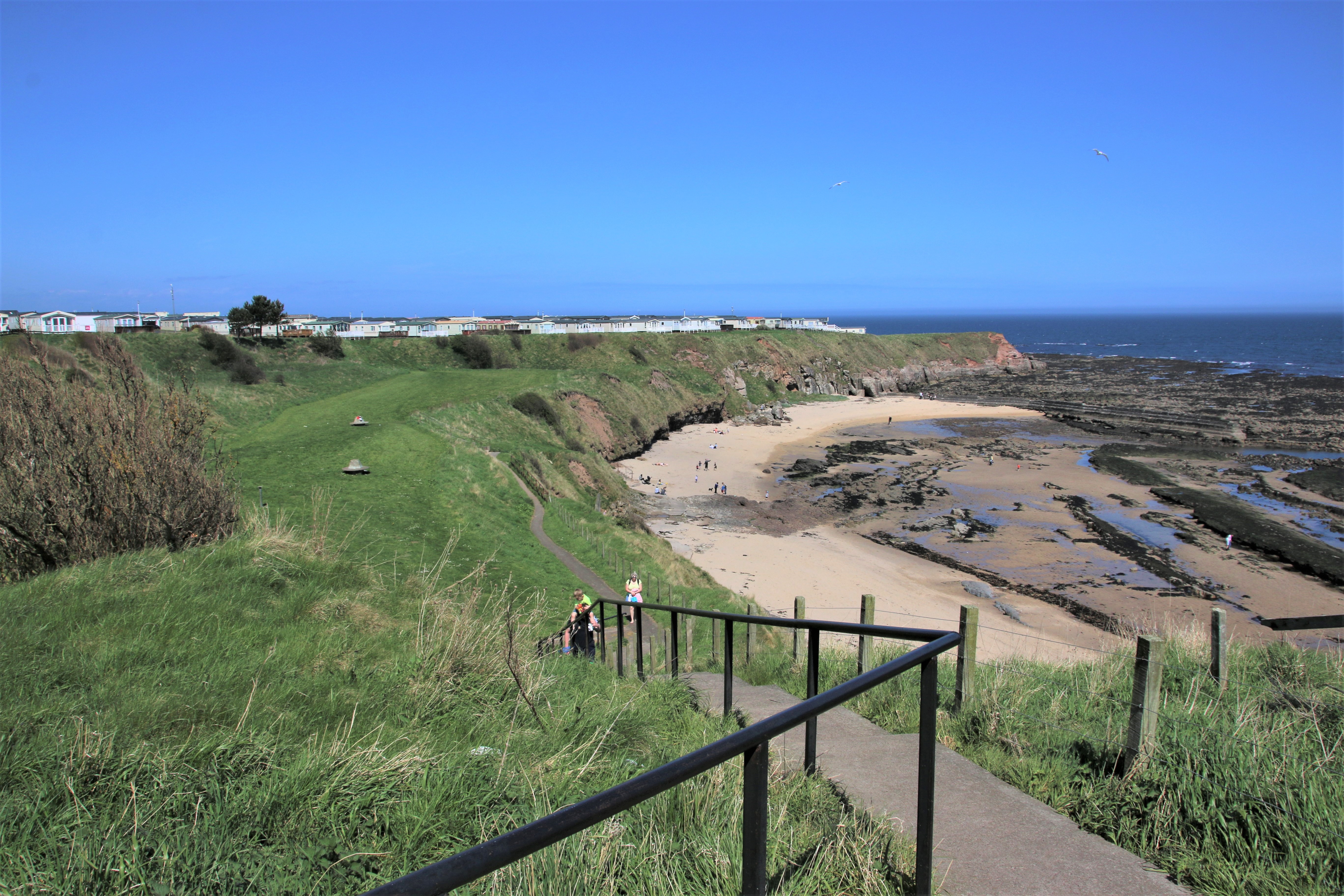
A UK Coastal Trip – Hayling Island

Hayling Island

A long loop around Chichester Harbour gives vehicular access to Hayling Island, linked to the mainland by a single bridge at Langstone Quay. The islanders originally made a living from fishing, farming and salt production.

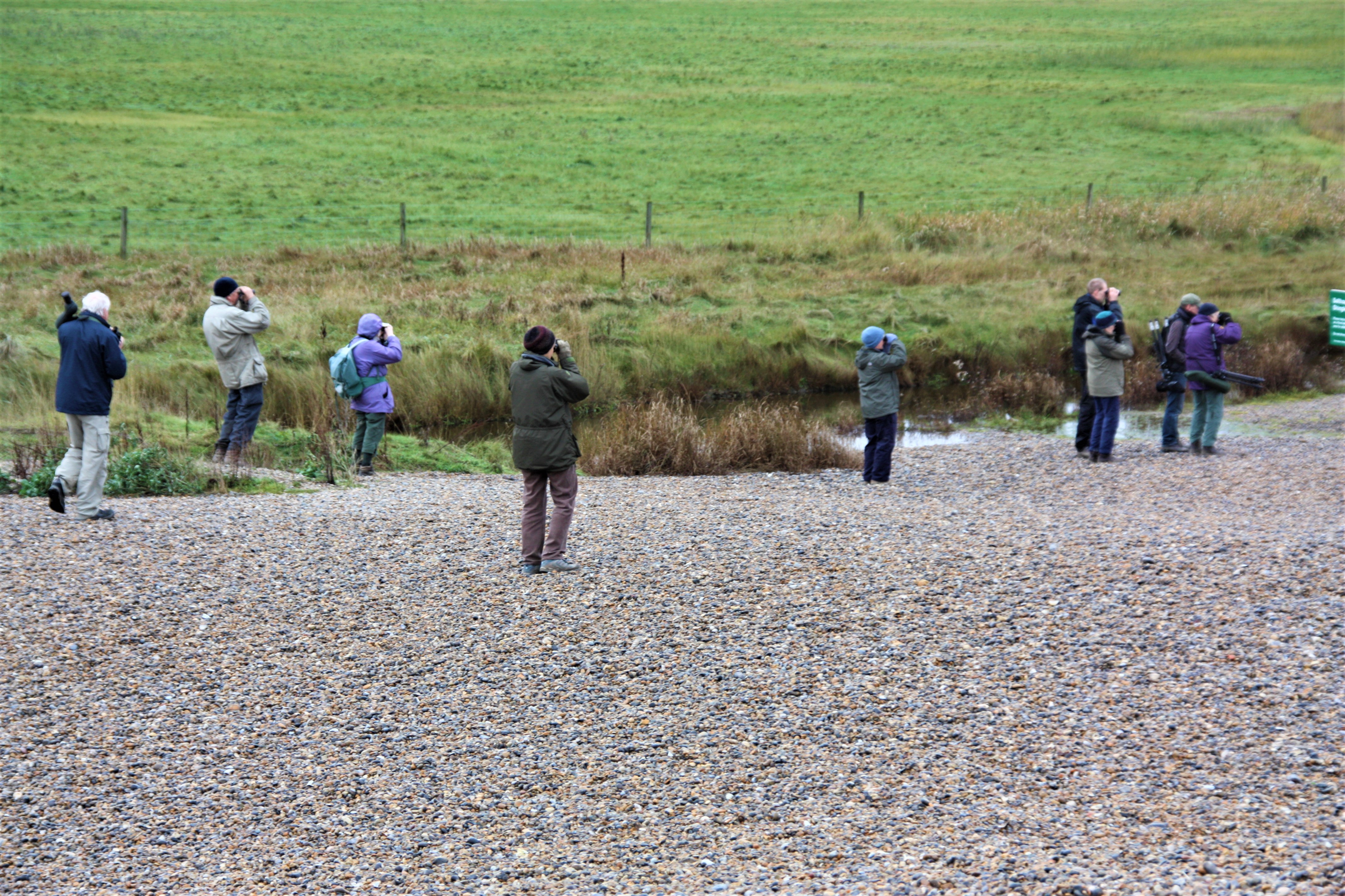
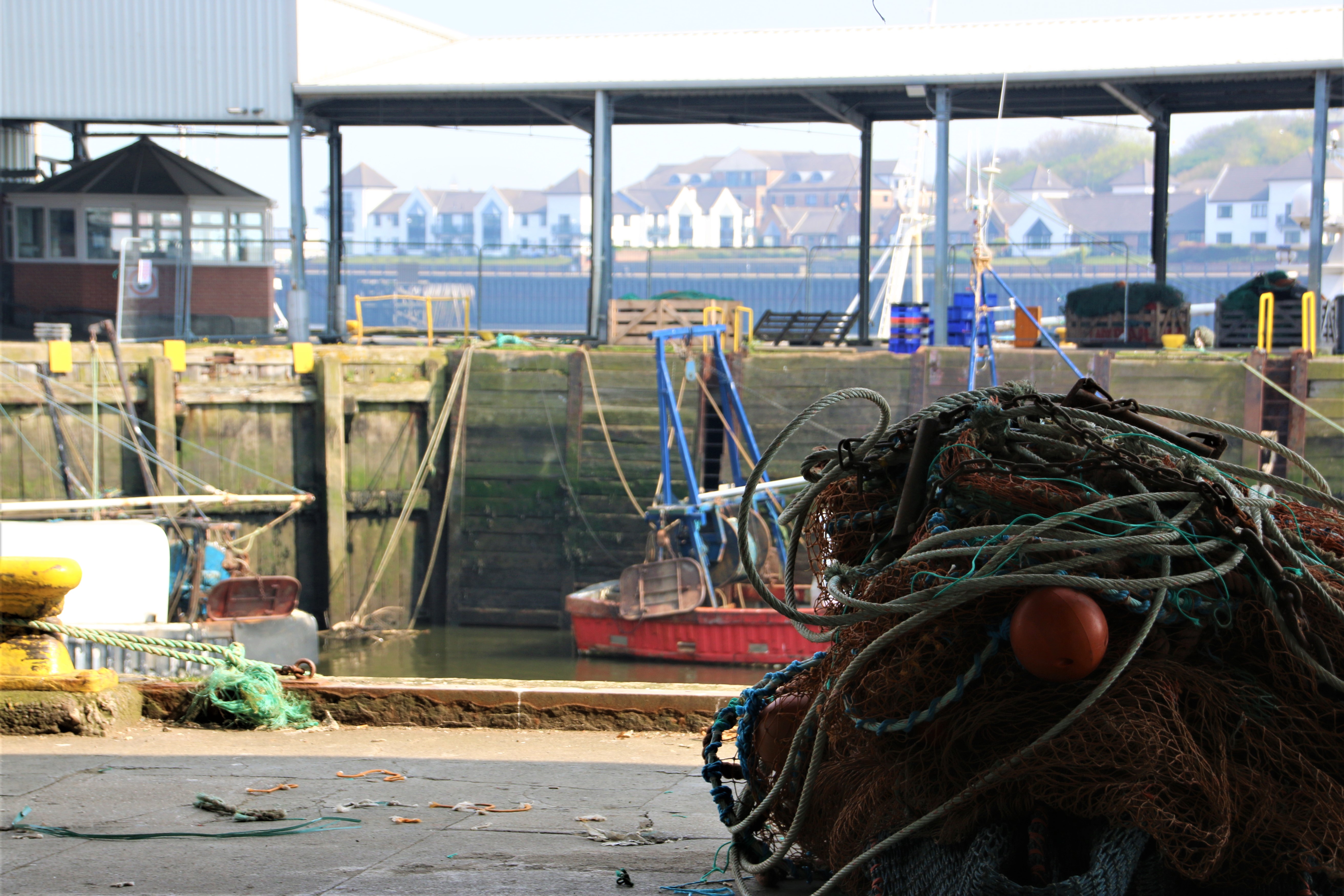
The marshes and wetlands of the Kench Nature Reserve are excellent spots for watching birdlife. Oyster beds were established here by the Romans and farmed extensively until the 1970s. They were restored in 1996, helping to turn the area into a wildlife haven. A railway to the island over the reclaimed mudflats, opened in 1867. Steam locomotives pulled carriages along the 8 km Hayling Line. Despite its popularity, the line was closed due to the prohibitive cost of repairing Langstone Bridge, eventually demolished in 1966. Now the Hayling Billy Leisure Trail is a three-mile walk/ride through the marshes and past the oyster beds along the route of the former railway line.
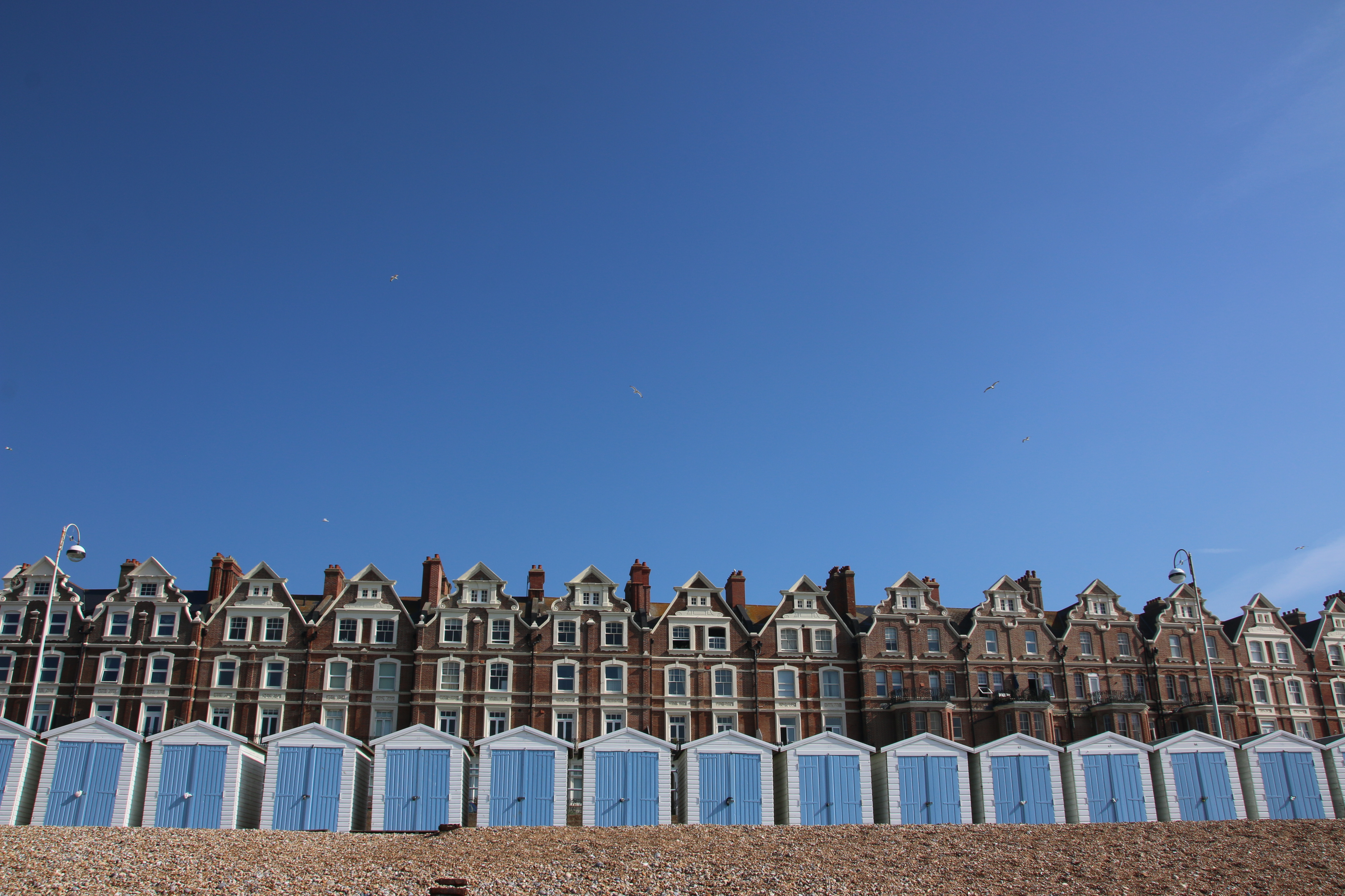
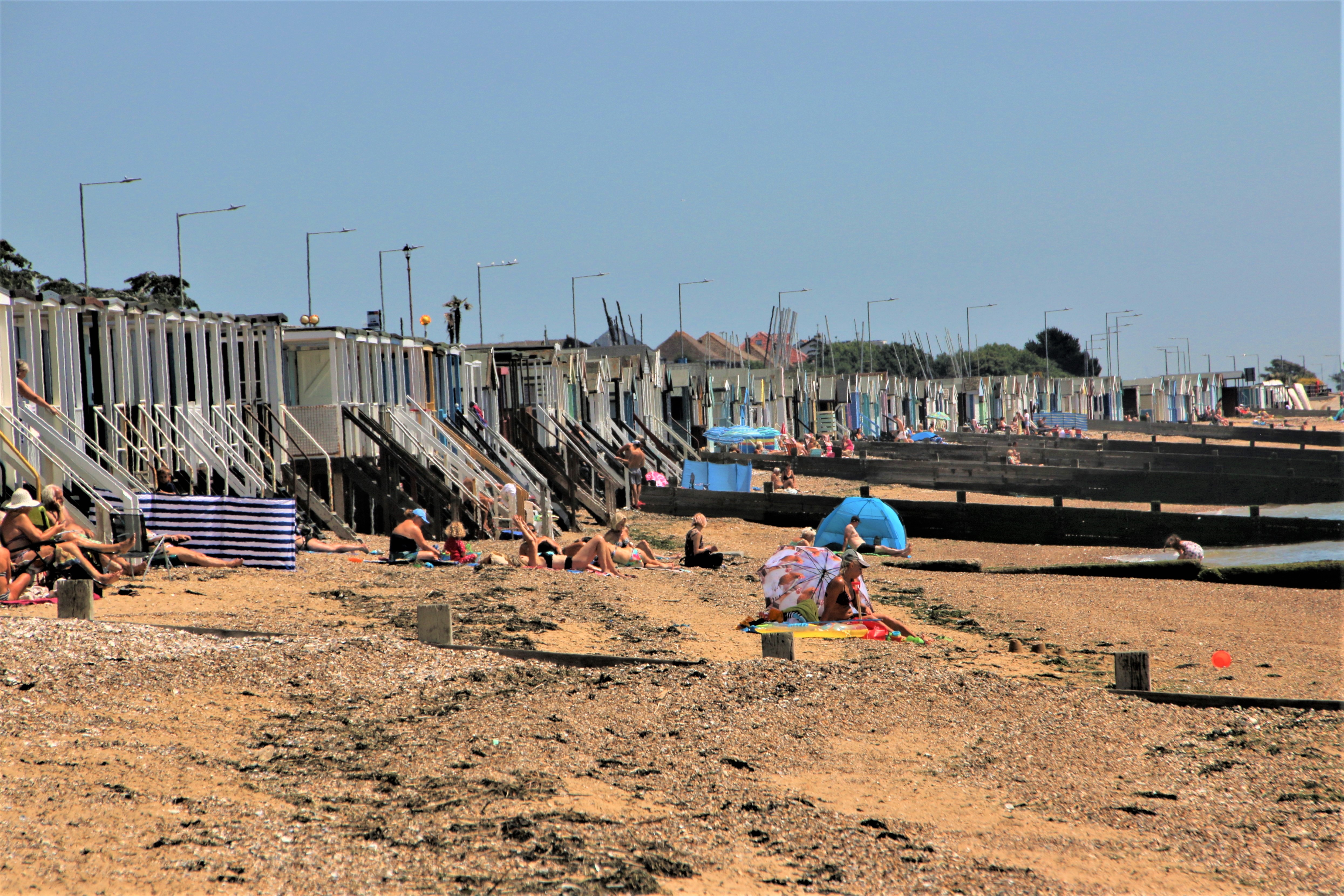
South Hayling

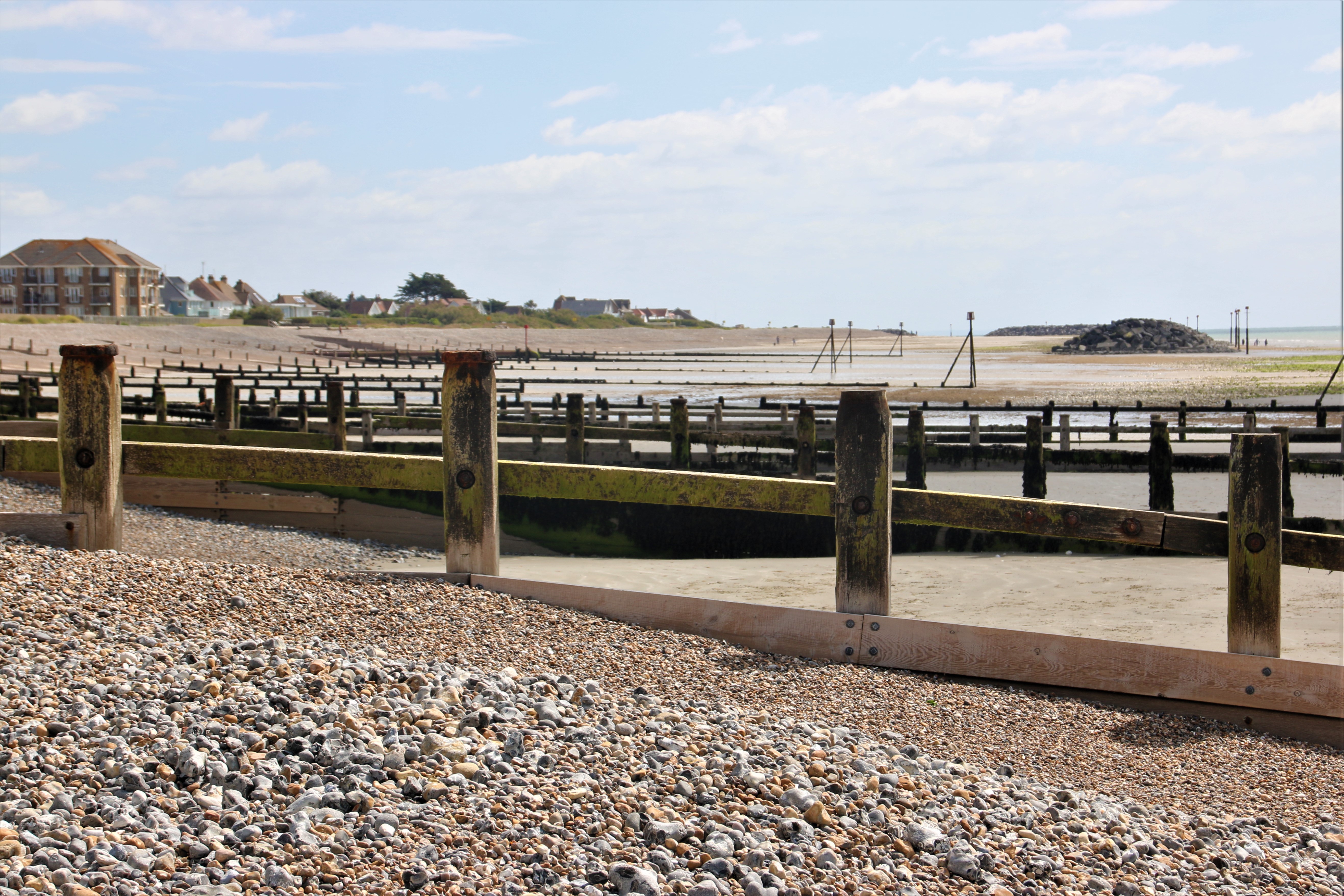
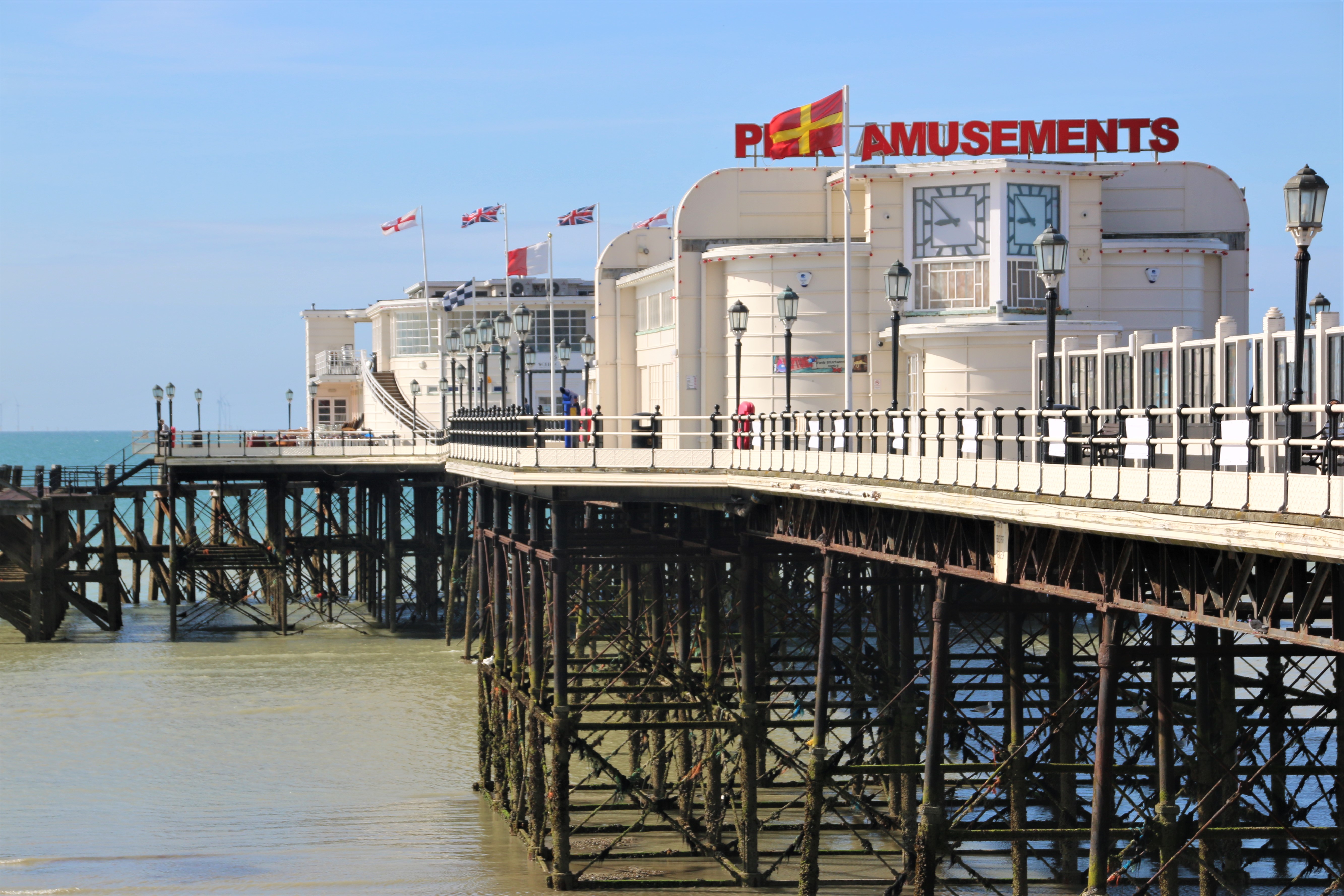
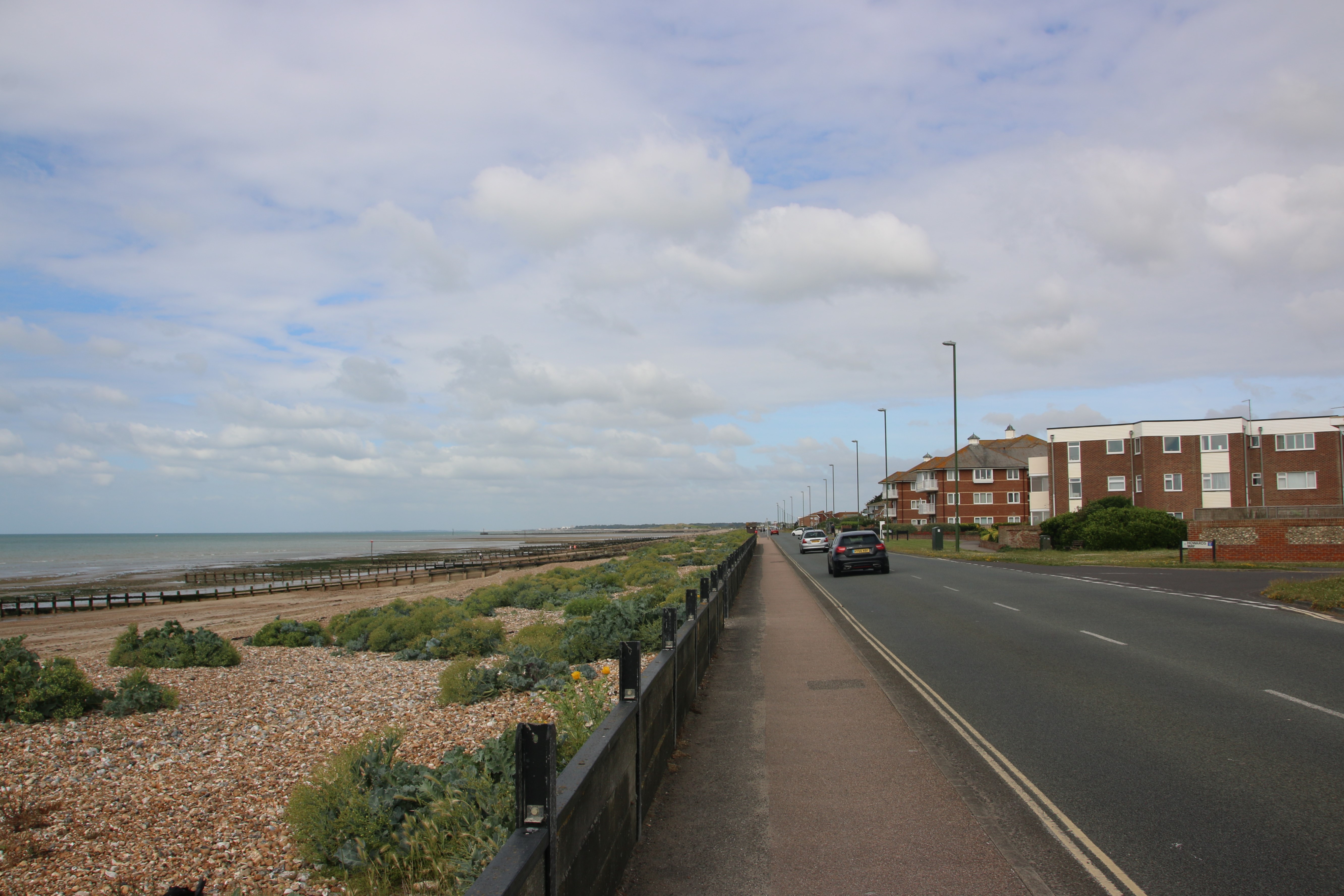
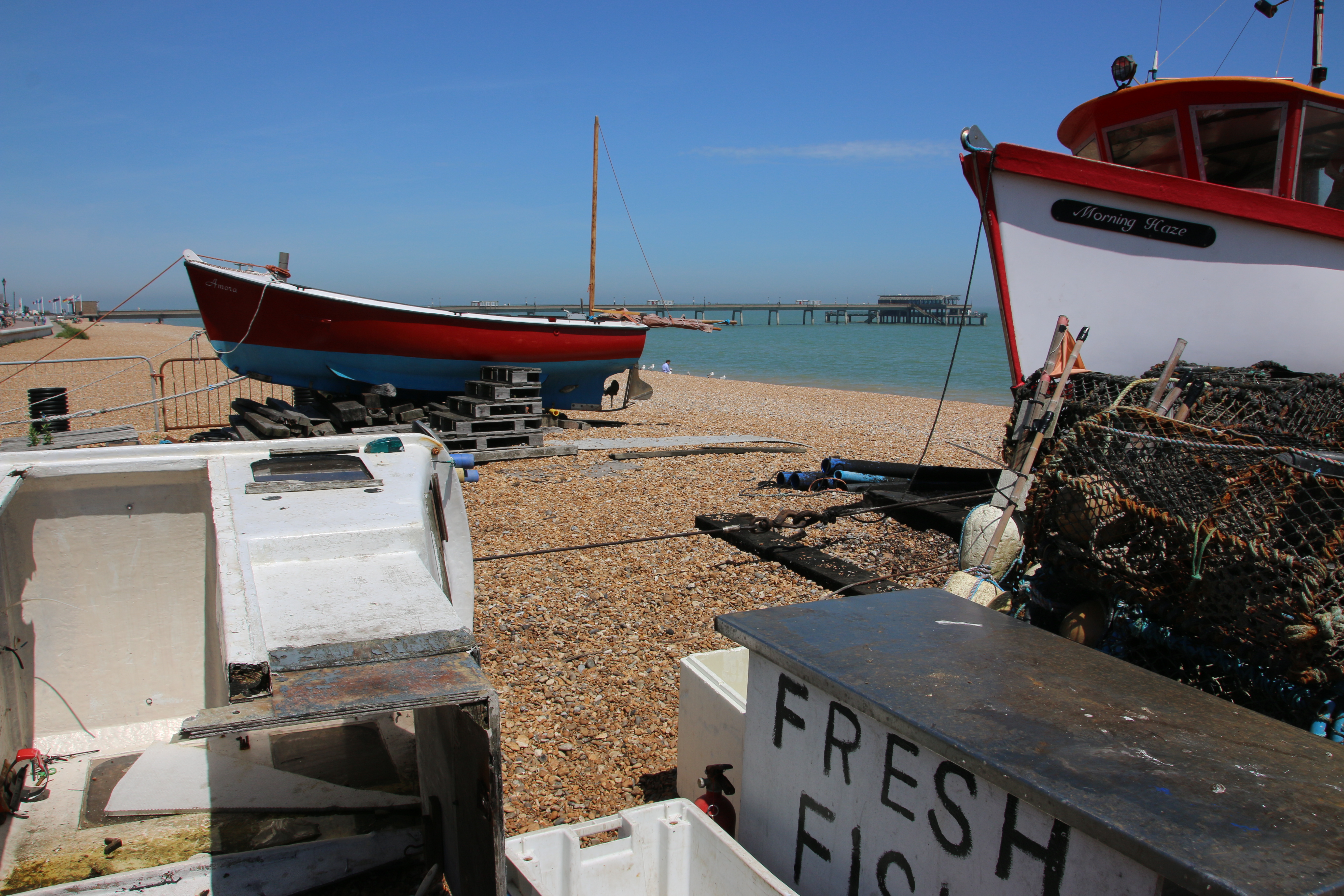
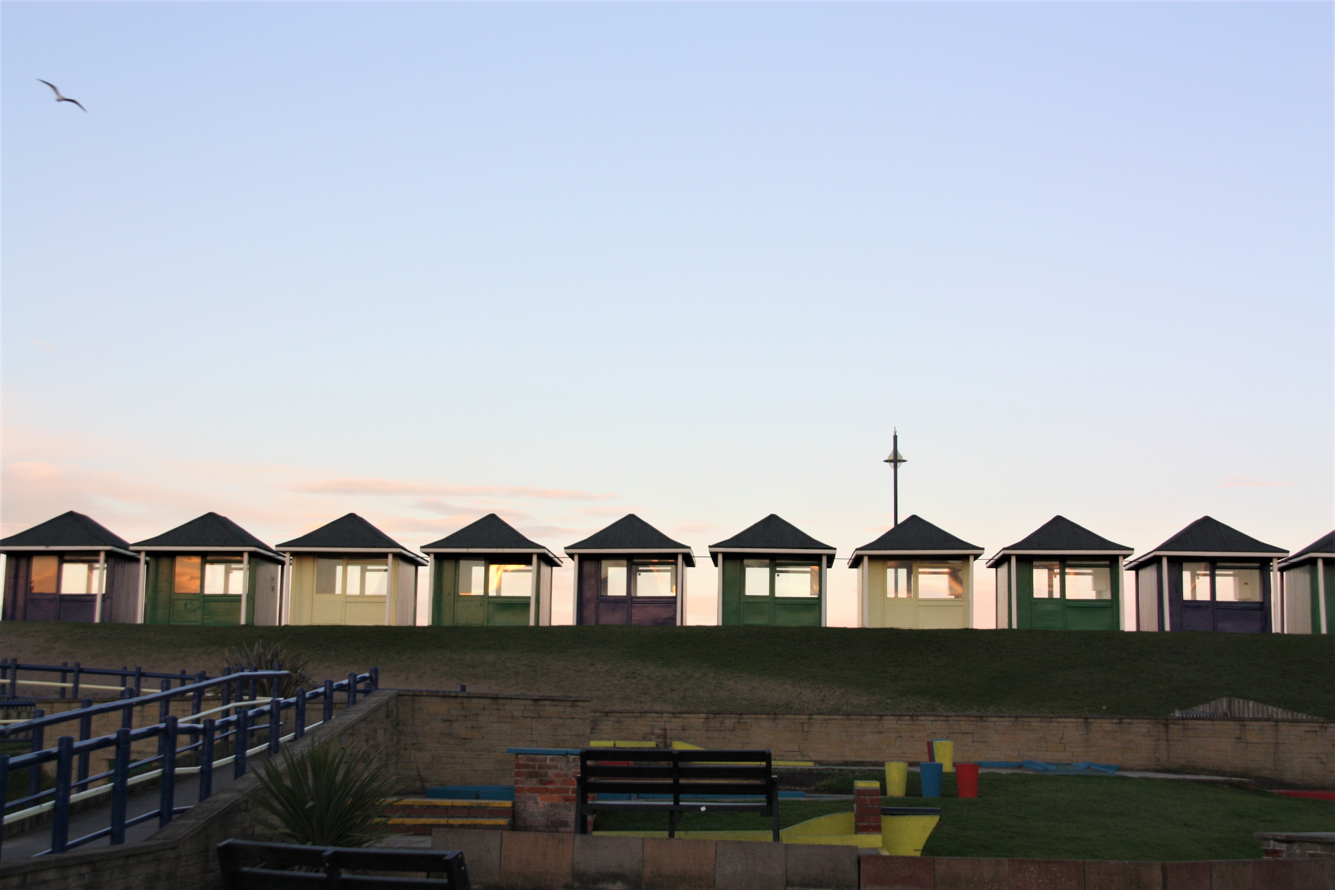
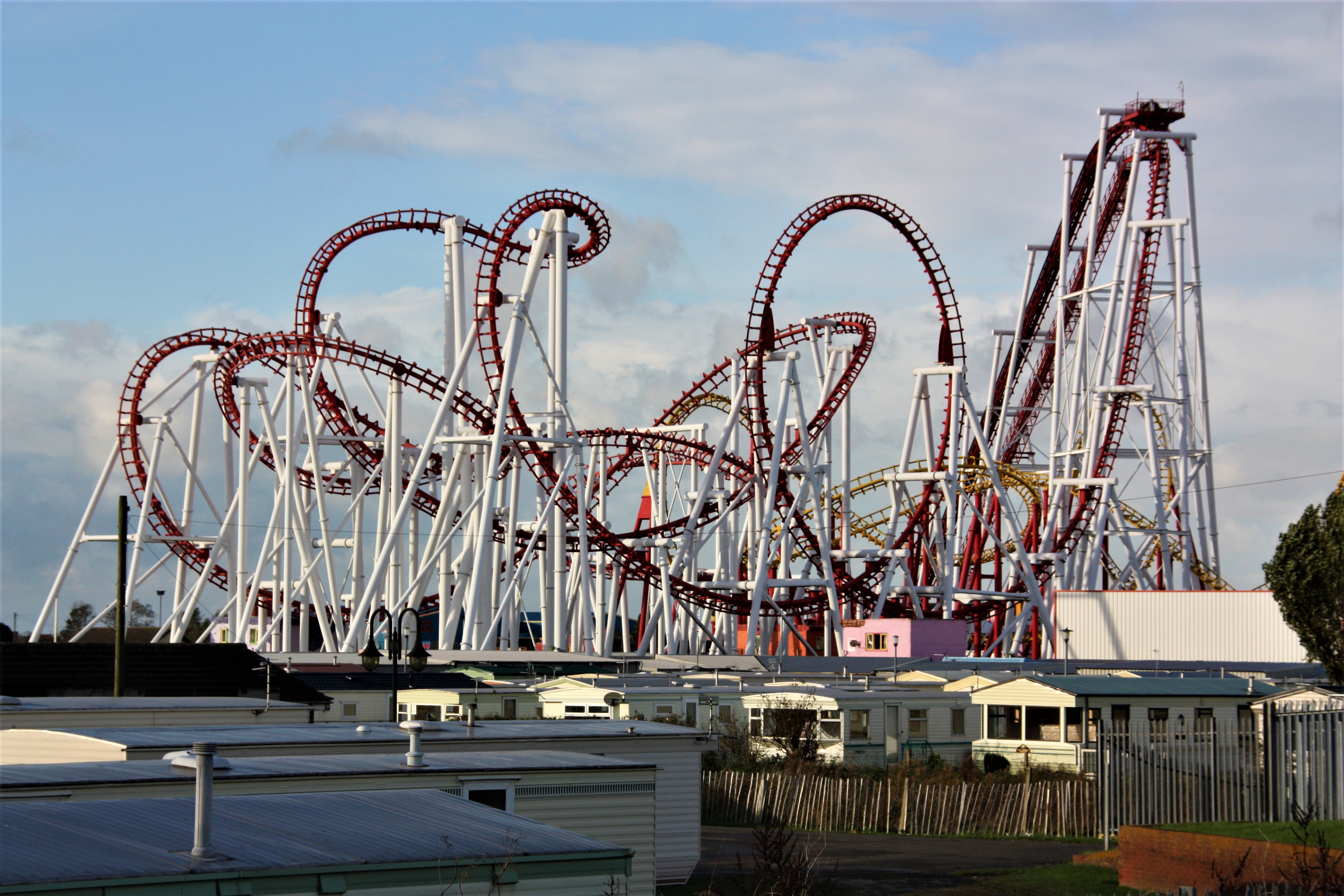
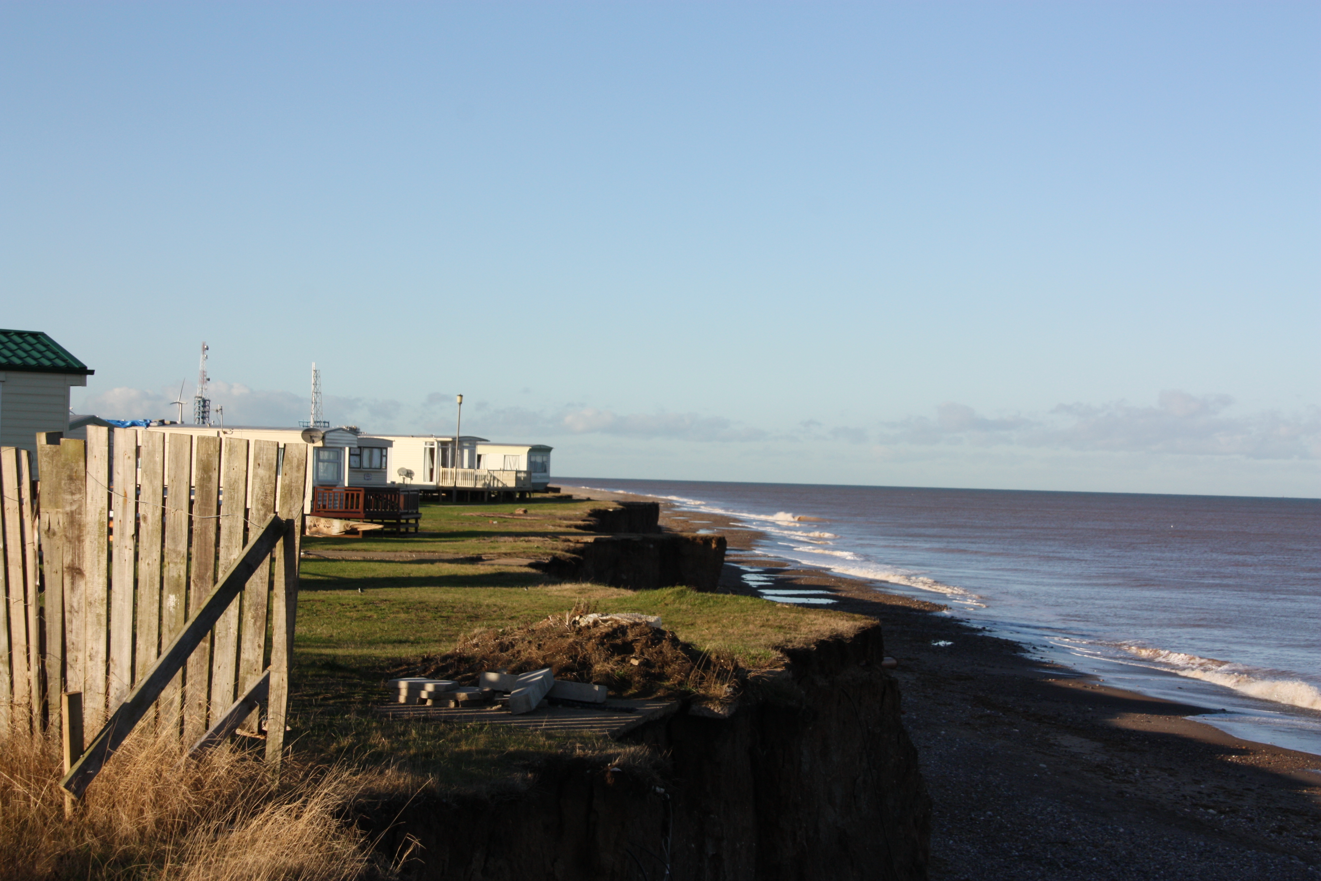
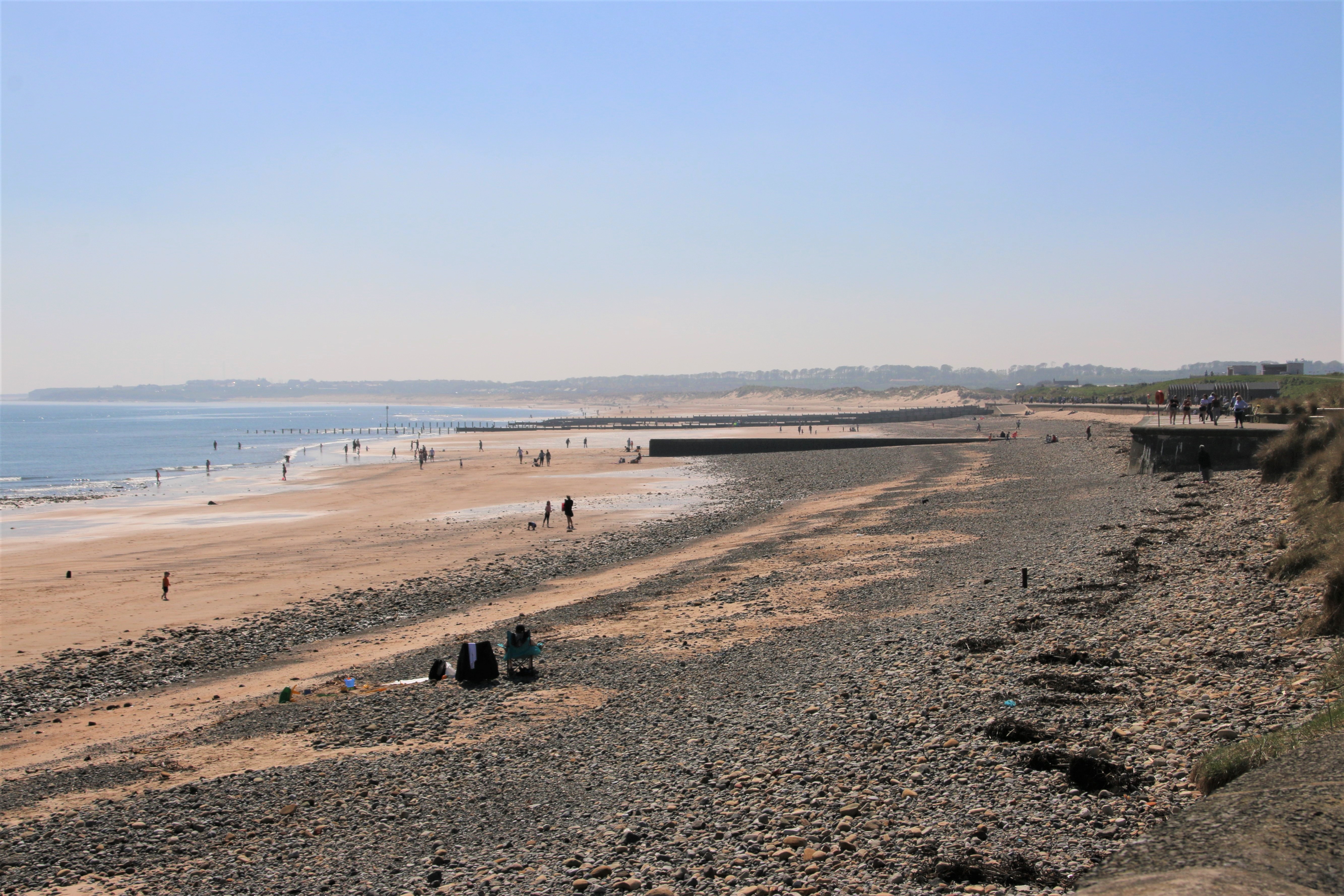
The natural coastline at South Hayling is predominantly sandy, but in recent years it has been mechanically topped with shingle dredged from the bed of the Solent in an effort to reduce beach erosion and reduce the potential of flooding to low-lying land. Since the 1930s it has become a popular seaside destination with its amusement park and holiday centres, as well as its miles of unspoilt beaches. Hayling Golf Club is situated on the western corner of the island, along the appropriately named Ferry Road. There are three yacht clubs along this southern edge with its easy access to the open sea.
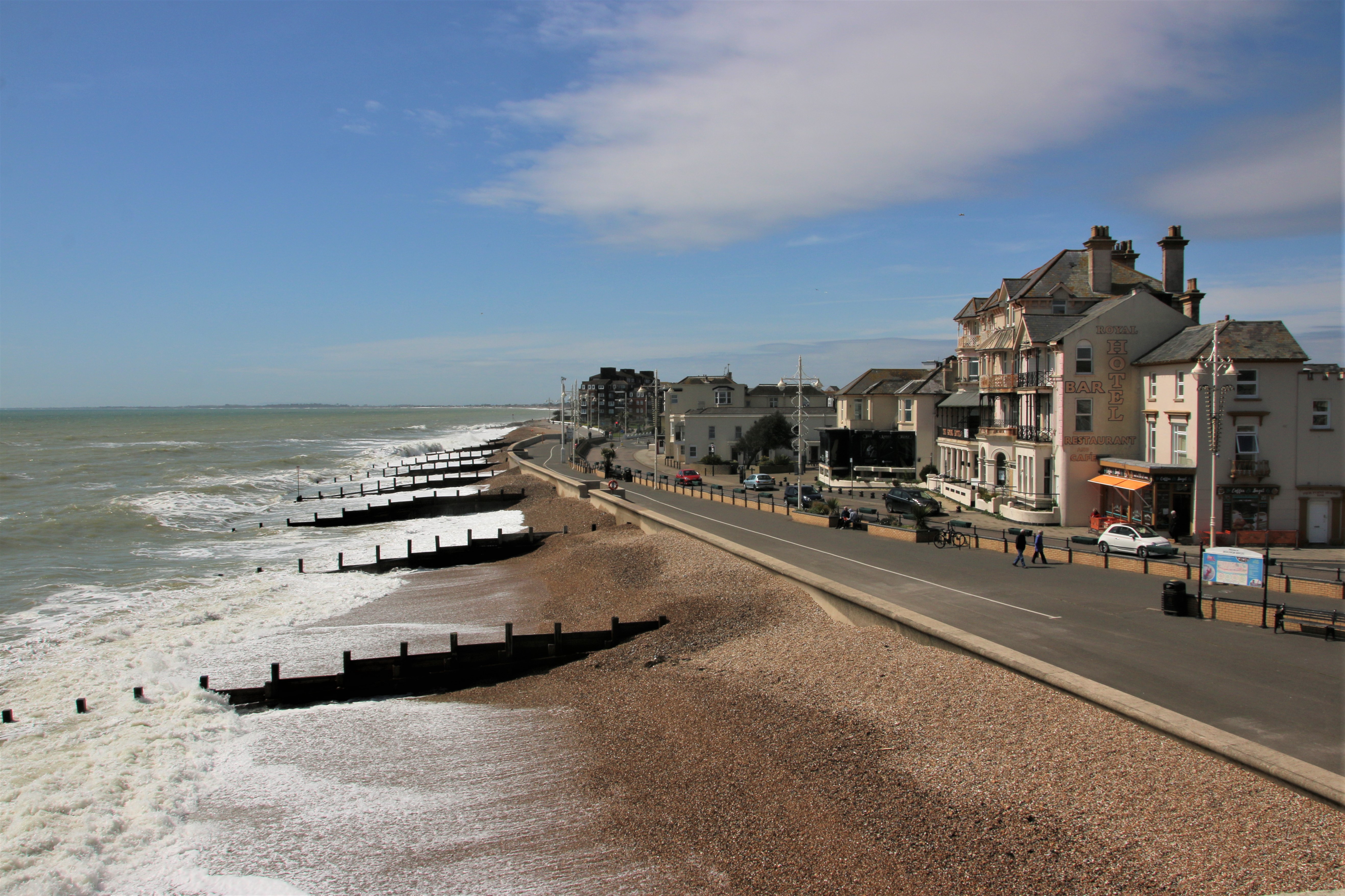
Southsea

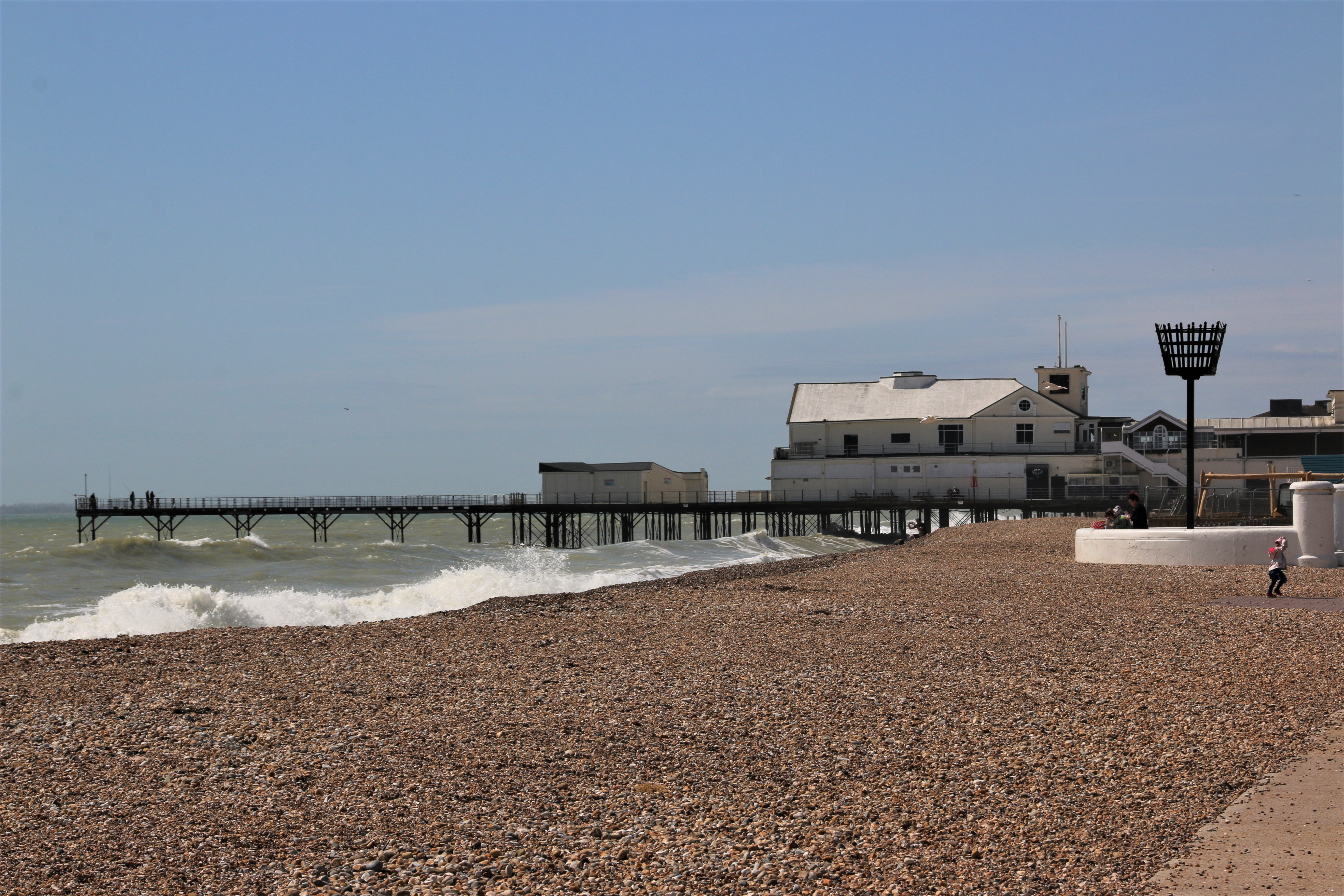
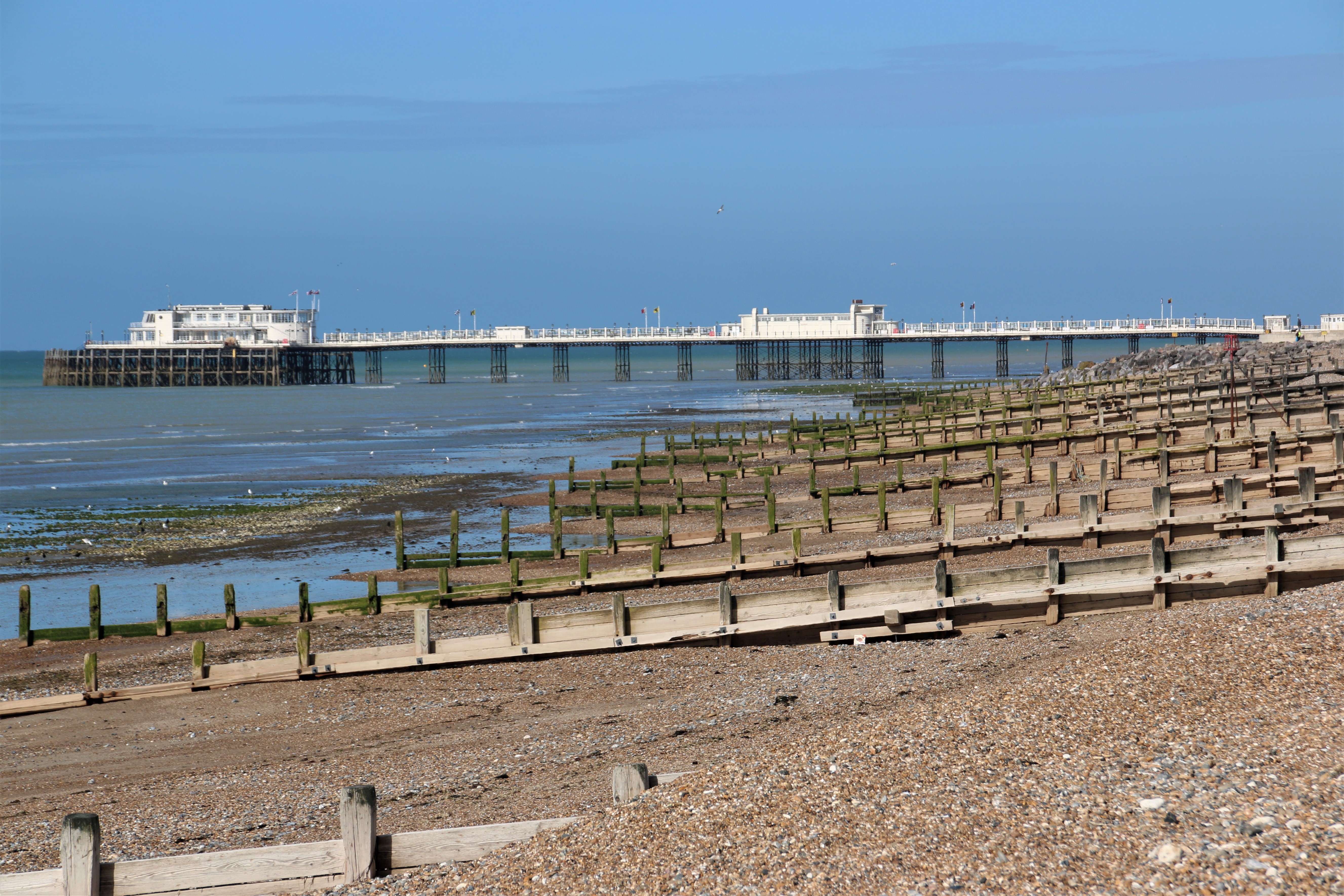
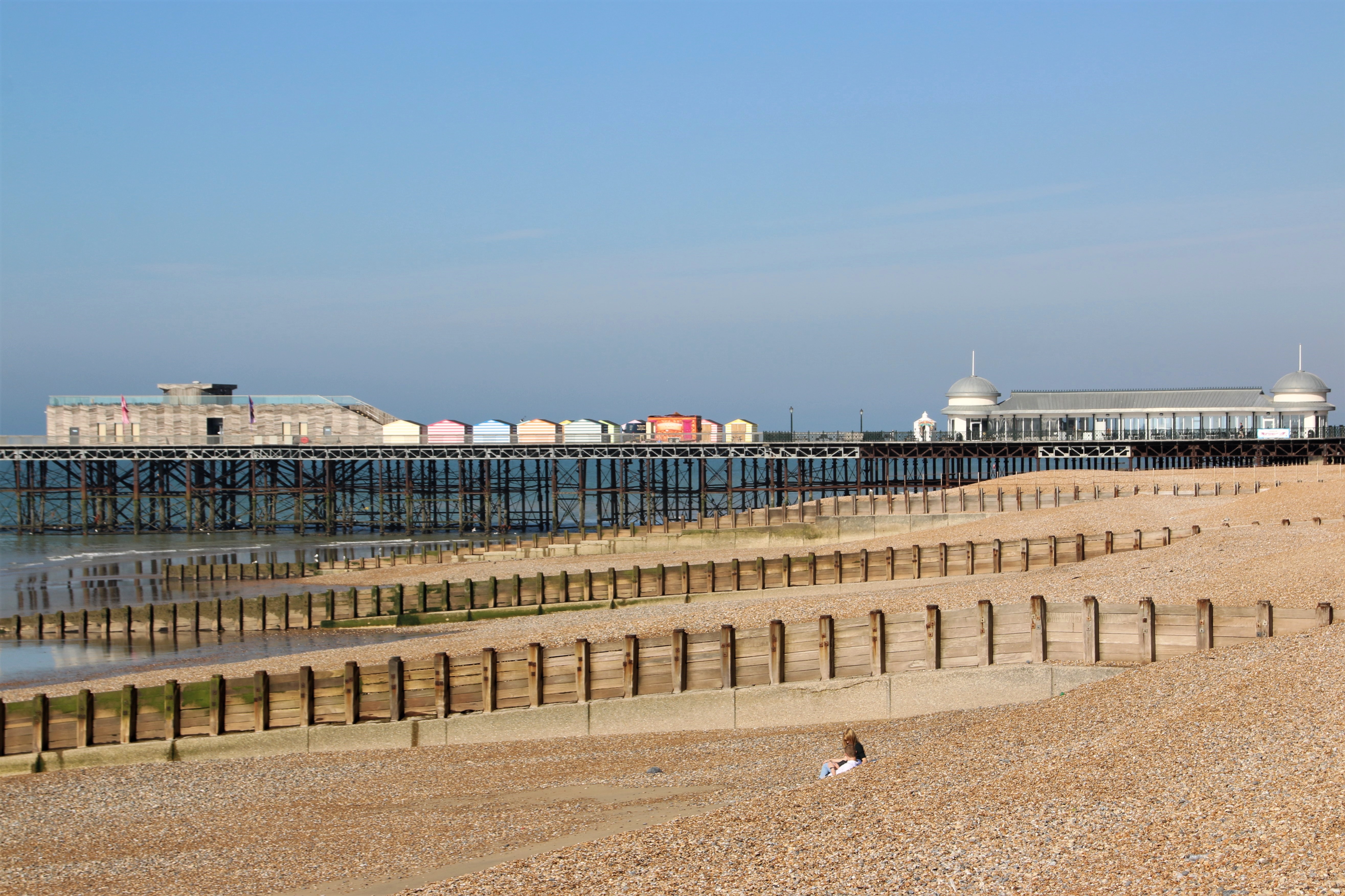
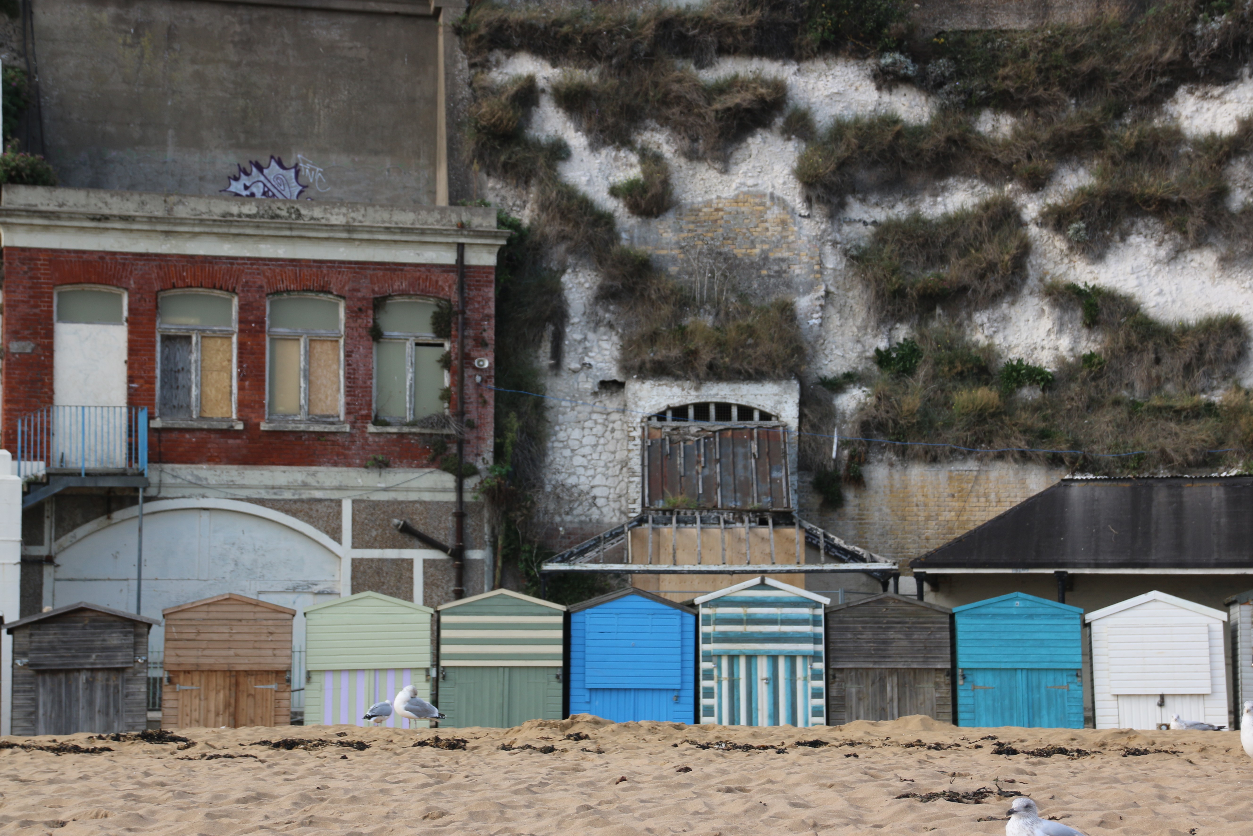
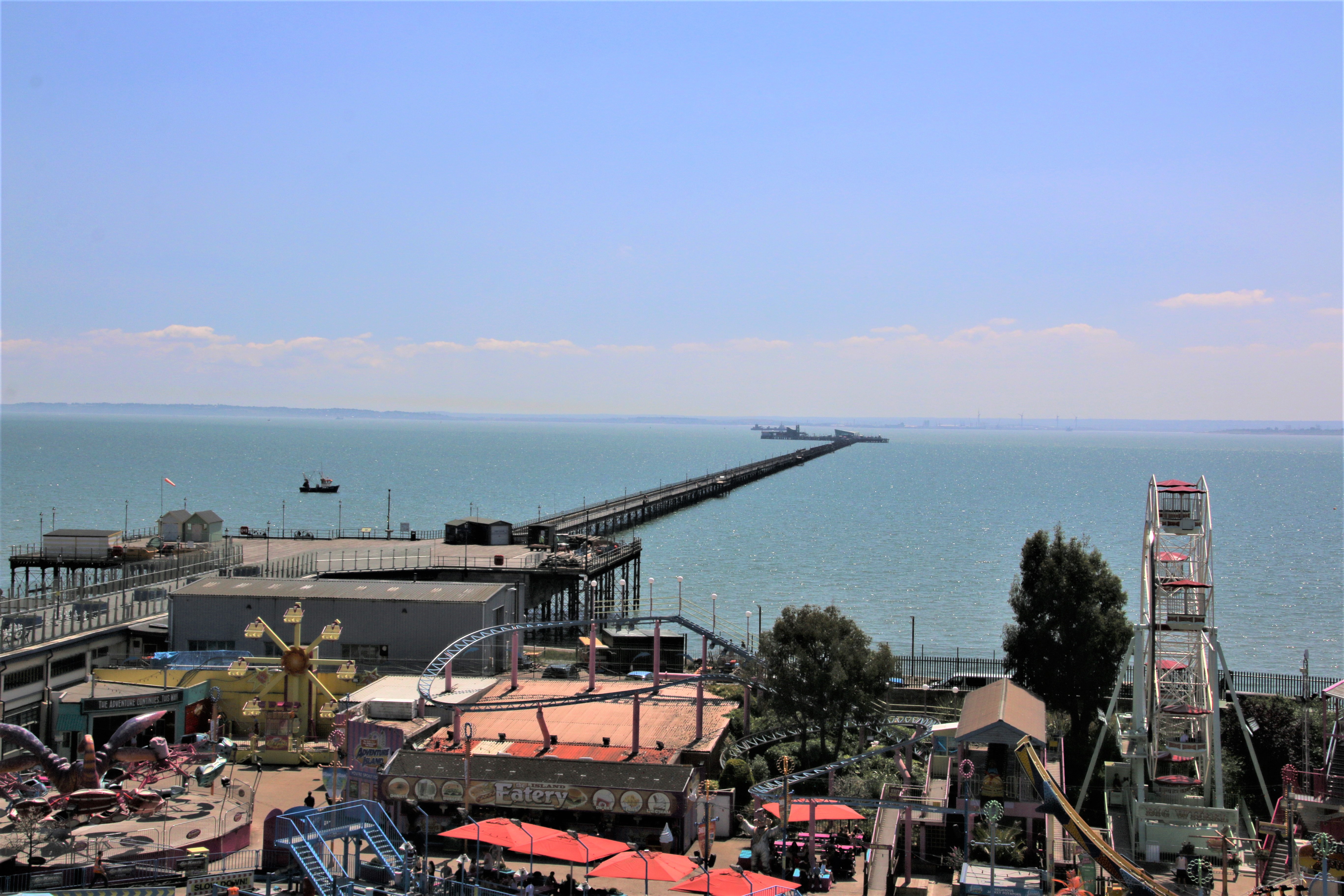
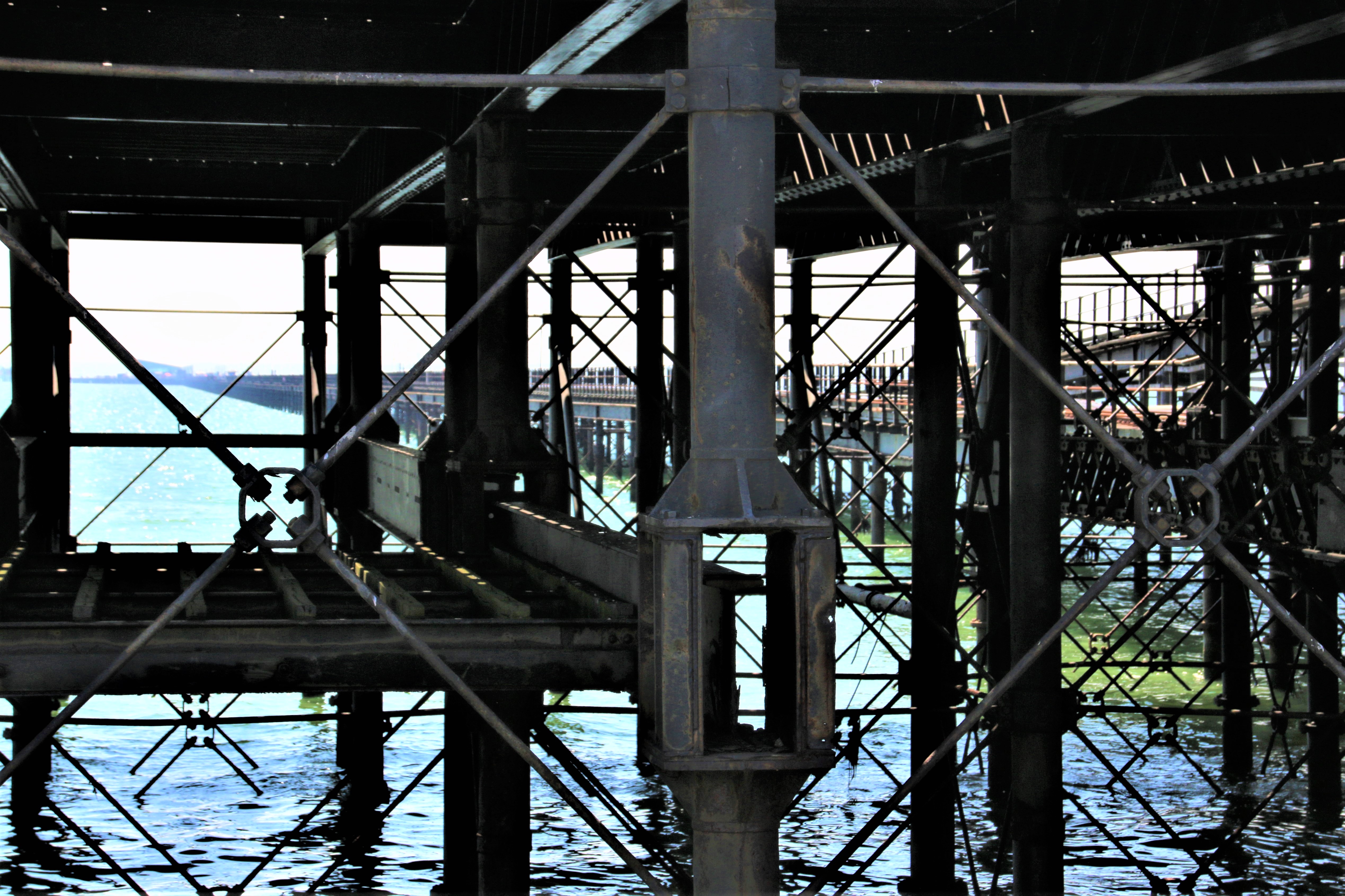
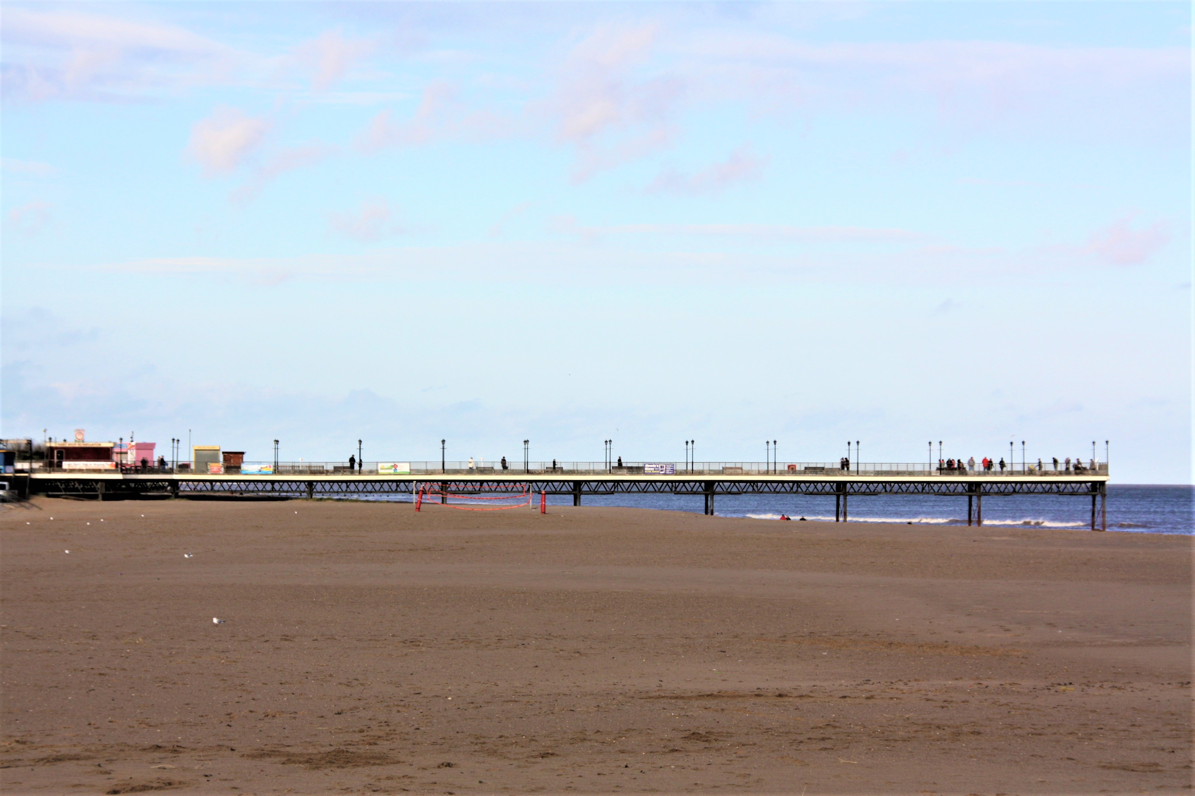
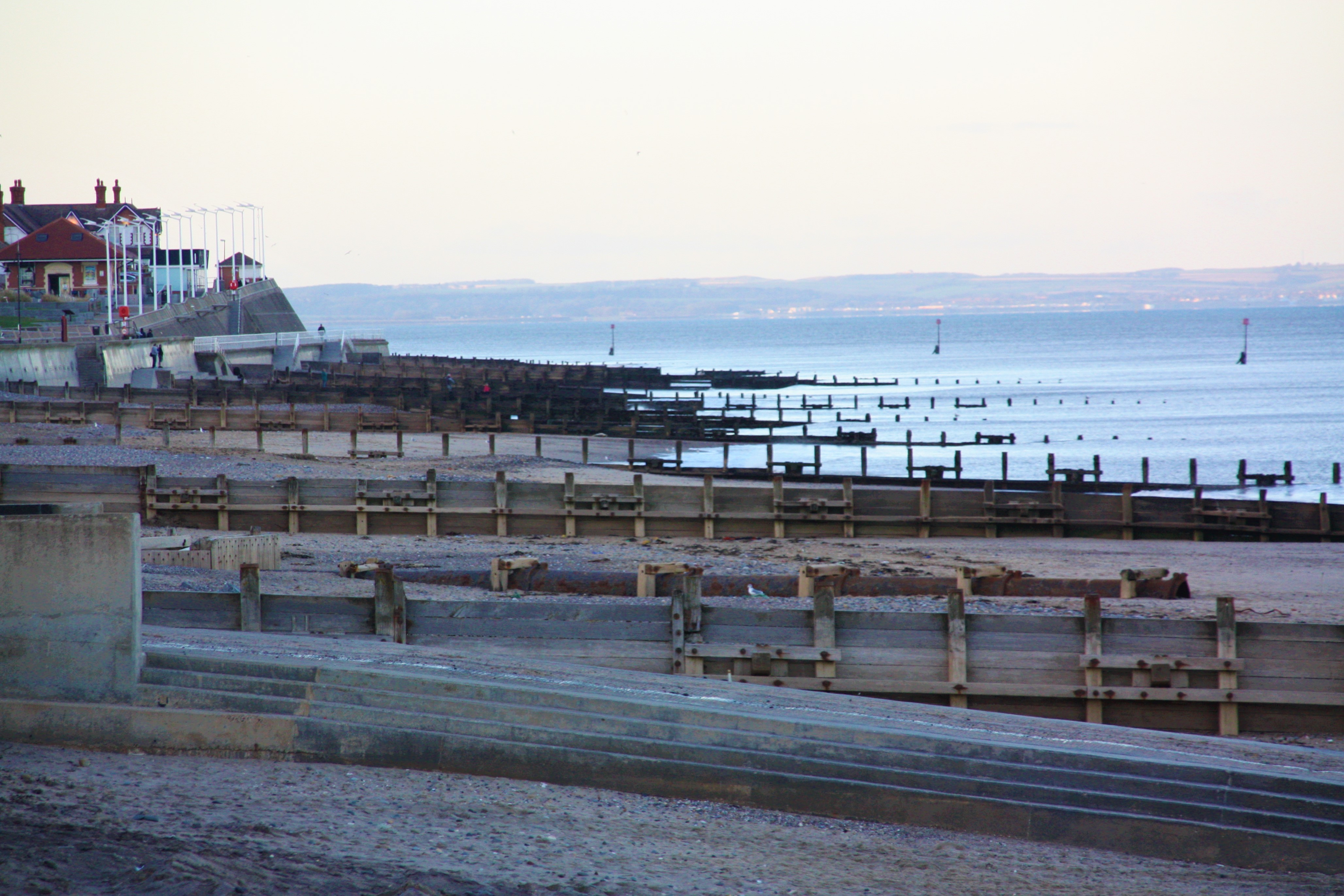
A part of the City of Portsmouth, Southsea maintains its own character as that of a traditional seaside resort. It has a long shingle beach with patches of sand exposed at low tide, two piers, one in a much better state than the other, a string of seaside attractions including a fairground, a D-Day Museum and a leisure centre. South Parade Pier marks the start of a wide, open esplanade backed by the Rose Gardens and a boating lake.

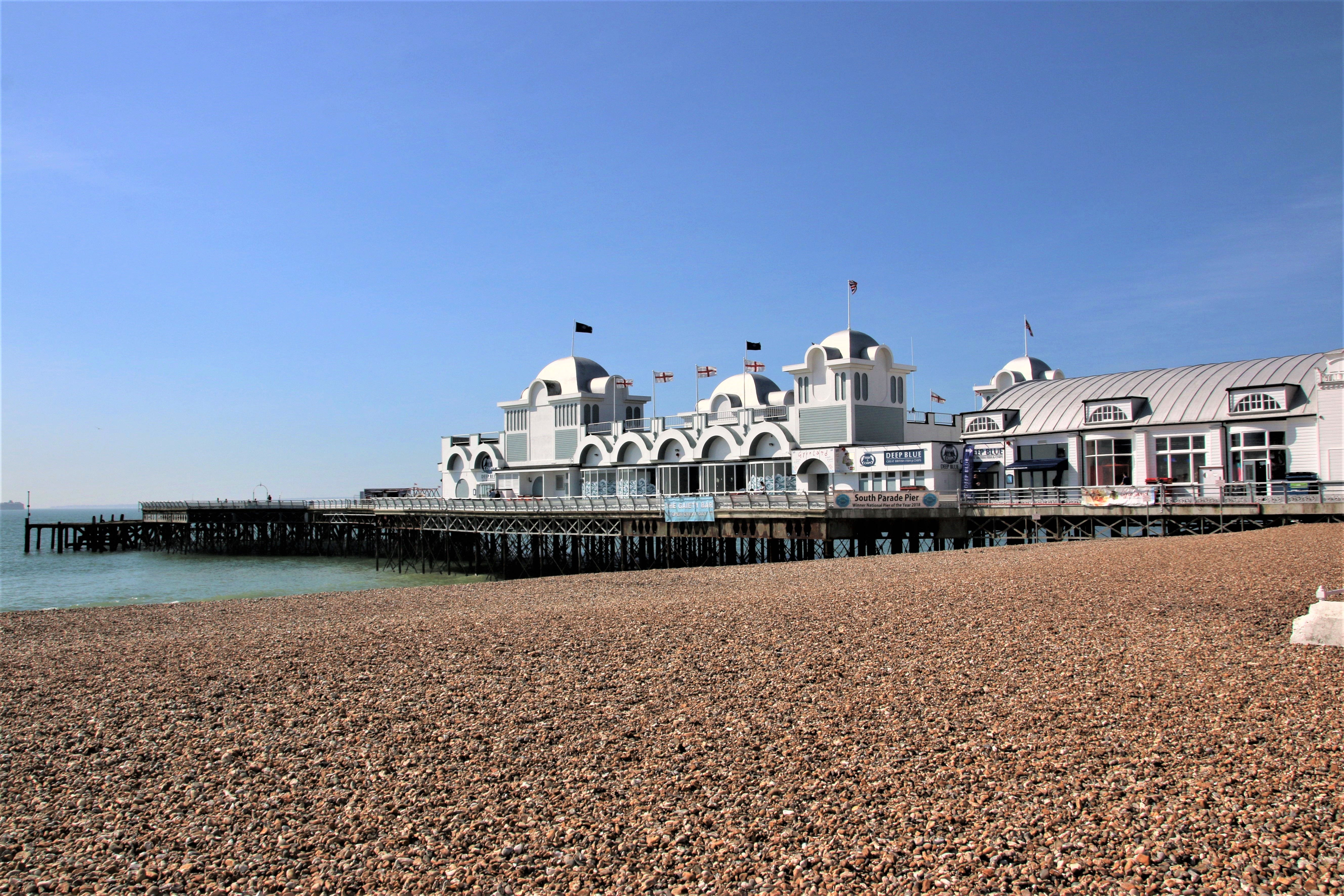
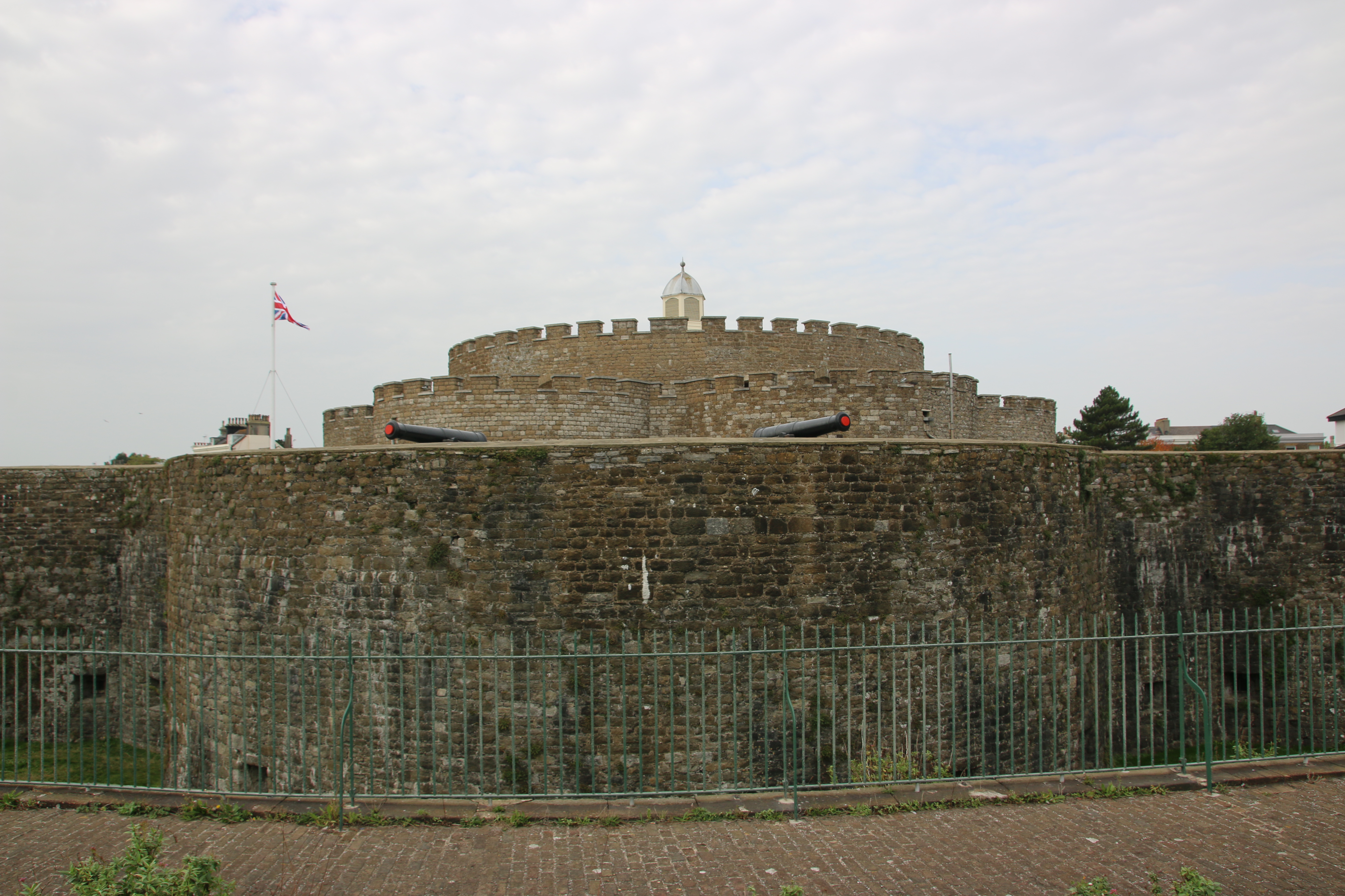
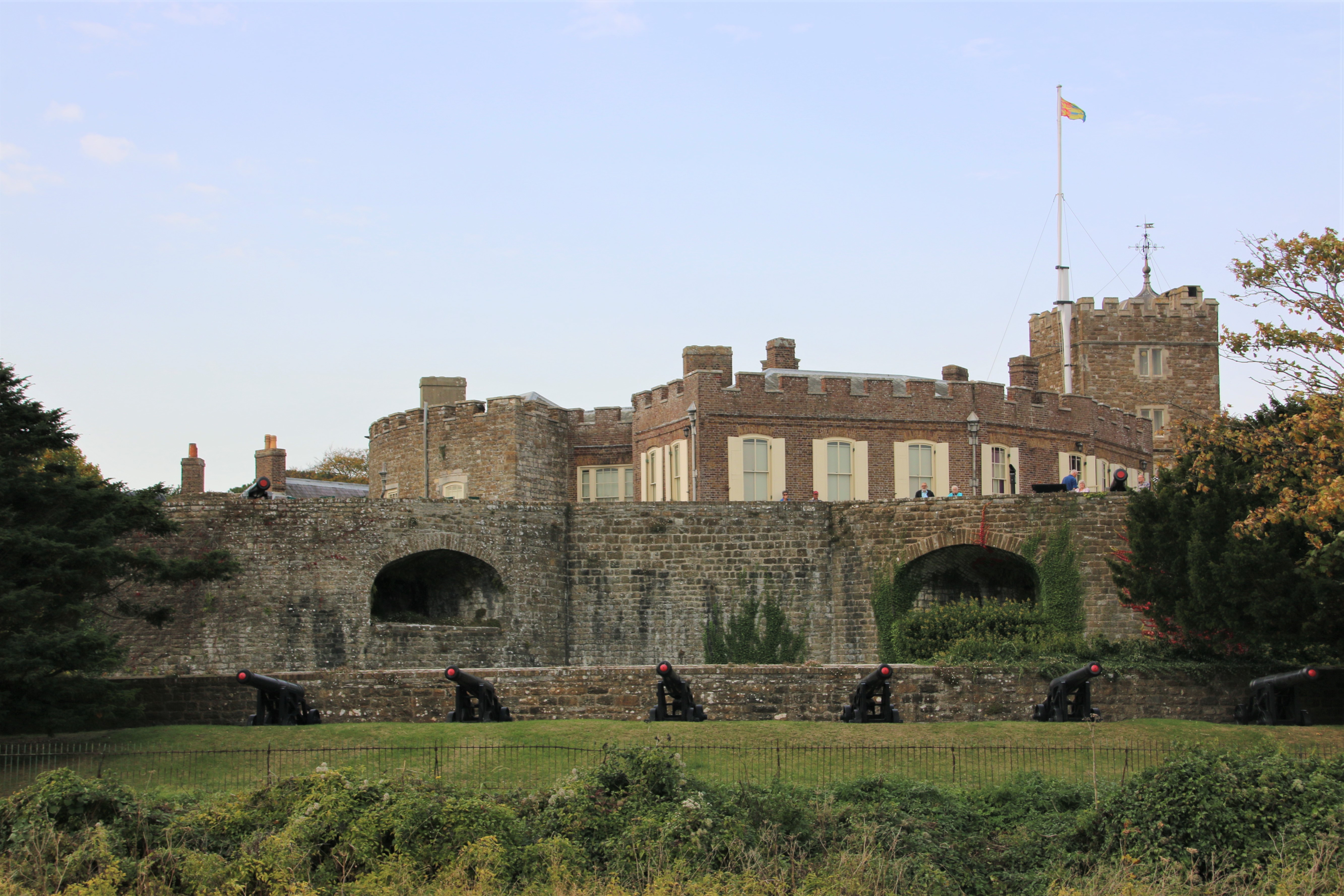
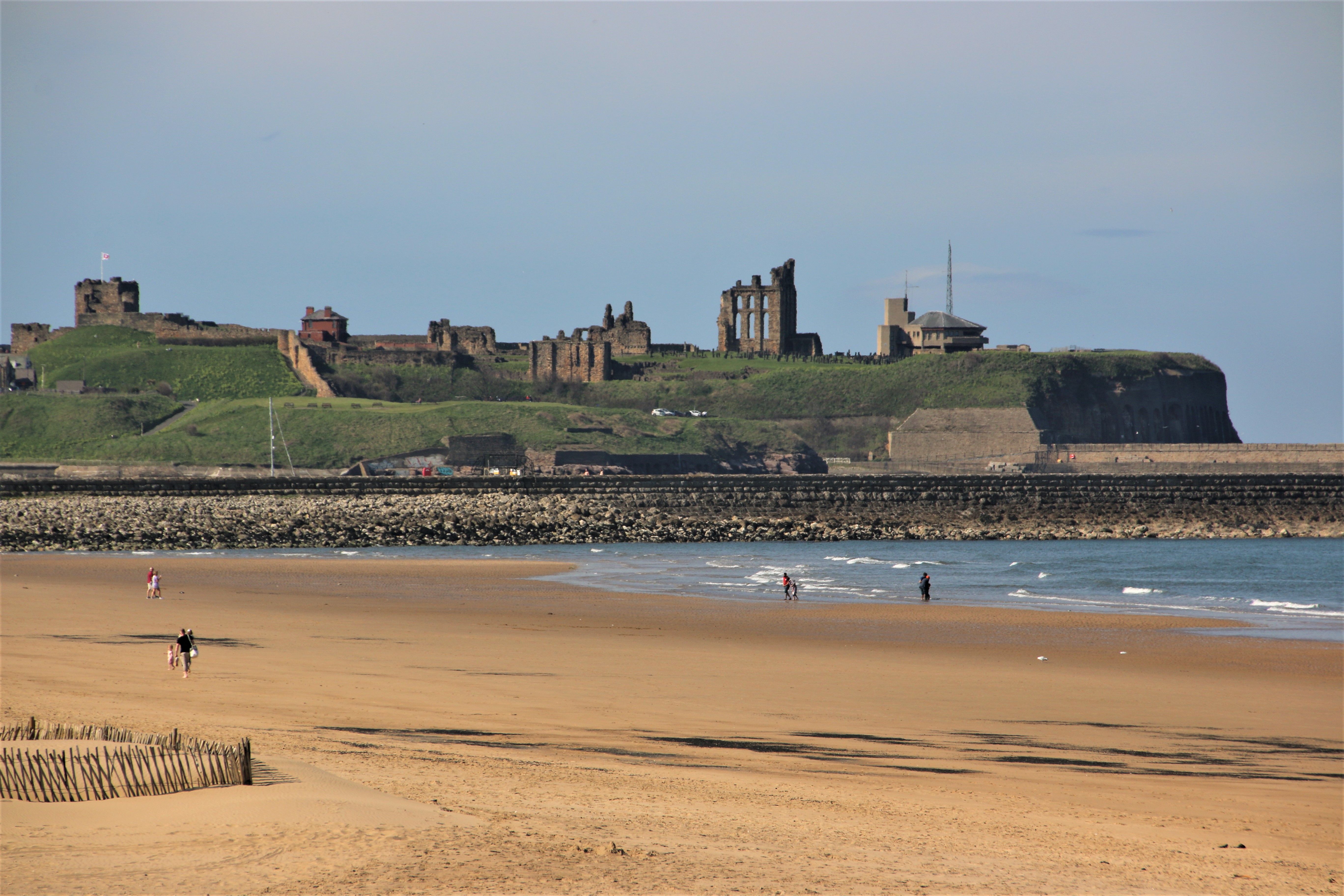
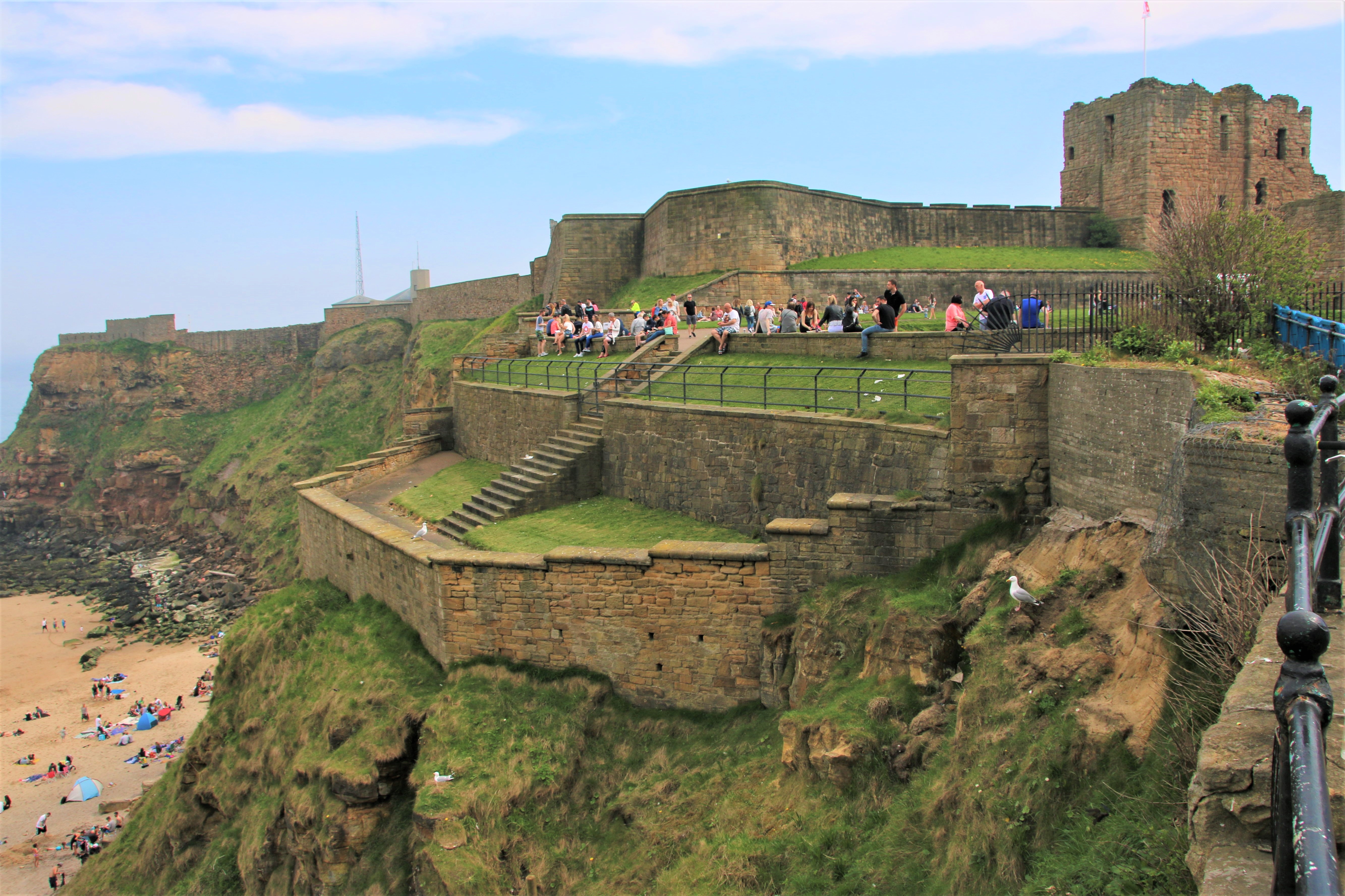
Southsea Castle was built by Henry VIII around 1544 to defend the Royal Dockyard at Portsmouth. Clarence Pier is very different in character. Looking rather tired, it is clustered on land near the entrance of Portsmouth Harbour with the hovercraft pad and terminal right beside it.

Portsmouth

A fortress town since the 15th century, Portsmouth is the home of the Royal Dockyard, founded by Henry VIII in 1540. England’s most important naval base, it is also home to the Henry’s Mary Rose, Nelson’s flagship HMS Victory and HMS Warrior, all open to the public.

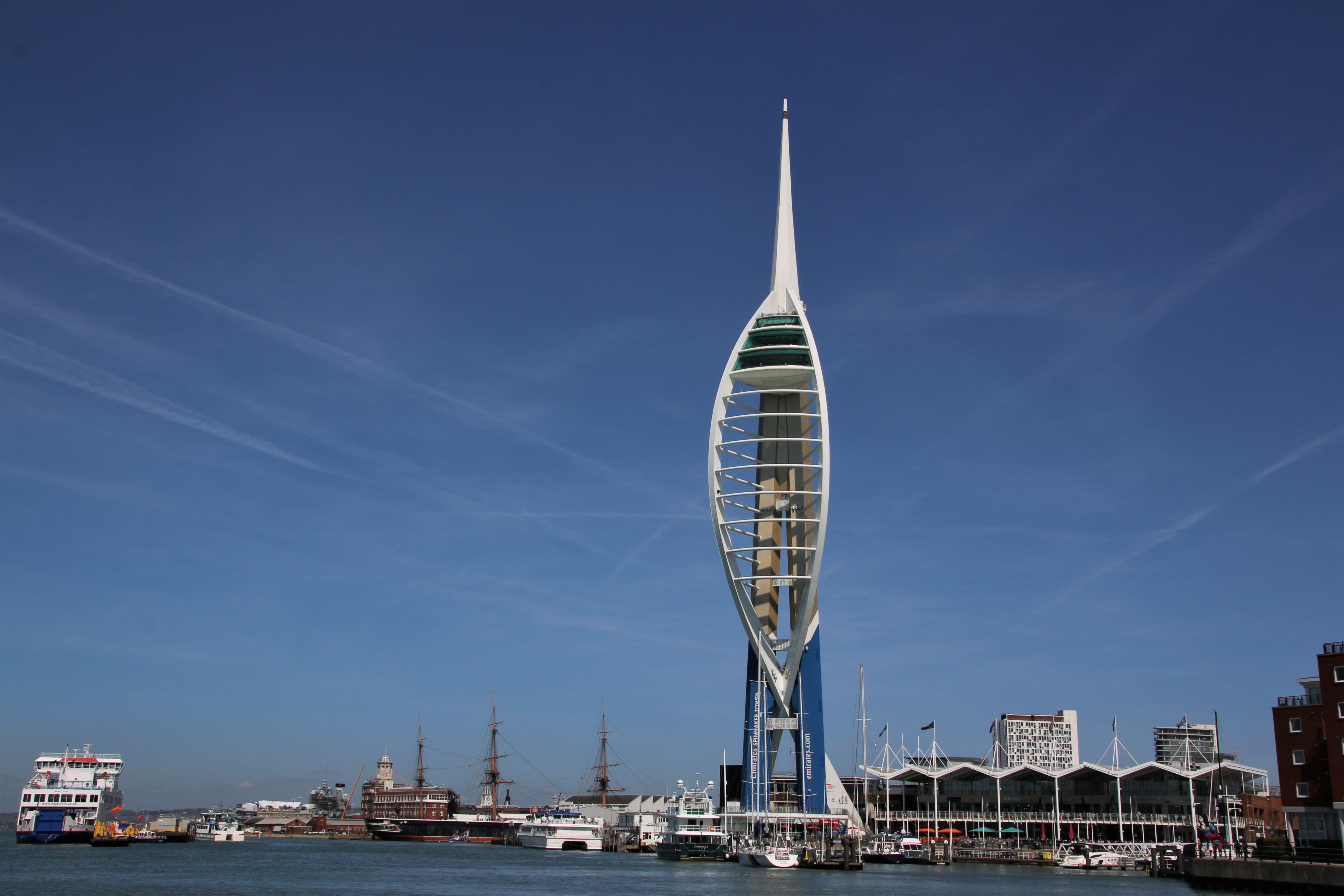
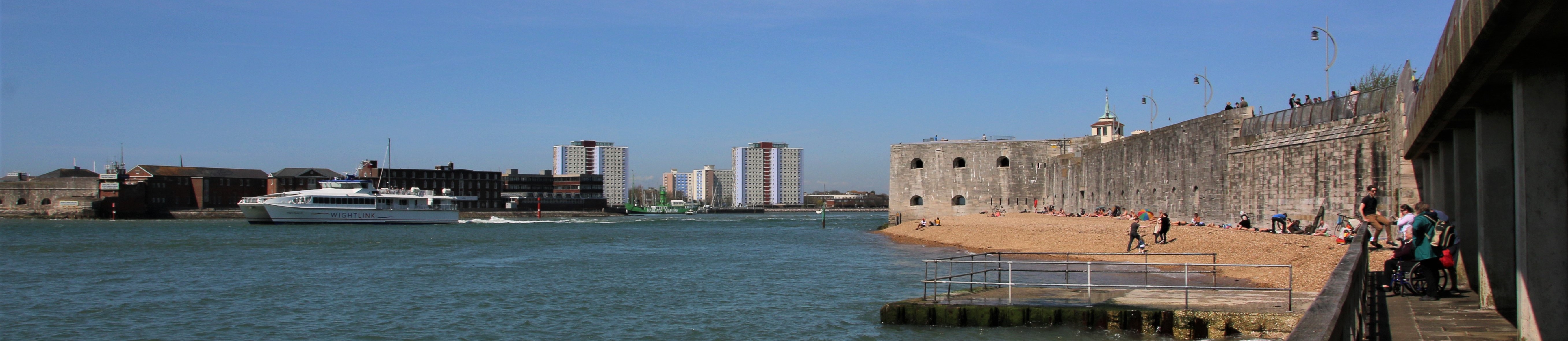
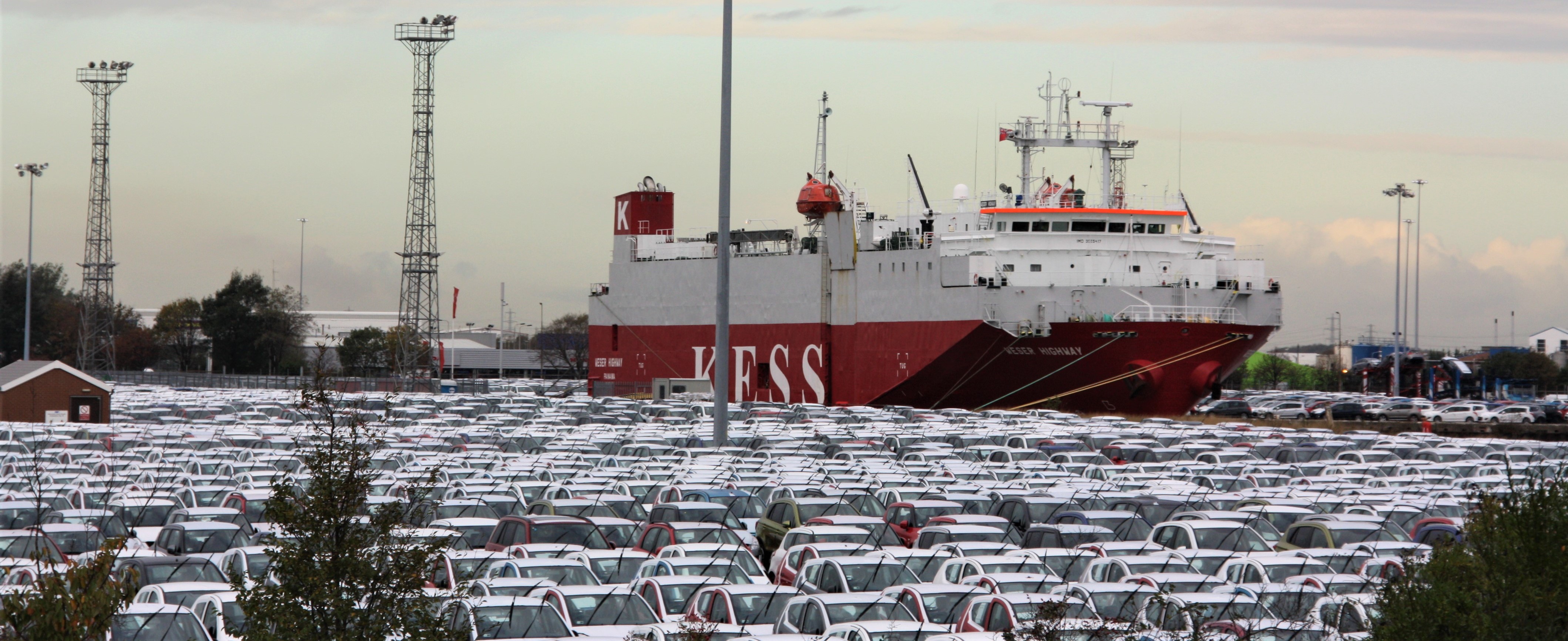
The 170 metre Spinnaker Tower soars over Gunwharf Quays with spectacular views from the top. It is still a working dockyard and home to many vessels in the modern navy. The Continental Ferry Port, Wightlink ferry & catamaran terminal and the hovercraft pads are all staging points for the many ferries that cross to Spain & France and to the Isle of Wight. Vessels chug past Old Portsmouth and Southsea to reach the sea.


A UK Coastal Trip – Bognor Regis

Middleton-on-Sea

The village was mainly developed between the wars. Houses back directly onto the seafront. Access to the pebbles of the beach, sand is exposed at low-tide, is possible along several footpaths that run through the residential areas. There are a range of coastal defences along the shore such as offshore breakwaters, groynes on shingle beaches and rock walls to protect the properties from the risk of flooding & erosion.

Bognor Regis

One of the most popular resorts on the south coast, the town has sandy beaches at low tide, funfairs, amusements arcades, cafes, seaside stalls and a nightclub. Bognor was a small fishing village until the late 18th century when it was developed as a resort by Sir Richard Hotham. It grew only slowly until the railway arrived in 1864 and from then on it proved to be popular seaside town to visit.

A year later the pier opened. It consisted of a basic jetty which was some 300 metres in length with a kiosk at the shore end where, for the sum of 1d, visitors could enter and stroll down to the end. In 1900 the first pavilion was built at the seaward end and a landing stage then added to allow paddle steamers to dock. In 1964/5 severe storms caused the this end to collapse. Billy Butlin arrived in Bognor with an entertainment venue called the Recreation Shelter. This was followed by a zoo in 1933 and in 1960, a holiday camp.

Pagham

Pagham Harbour was made up of three working ports. They were overrun by the sea in the 13th century and the whole harbour, now set well back from the sea, eventually silted up and ceased to be navigable, except for small craft. Pagham Beach is an early 20th century development of chalets, residential properties and low apartment blocks.

Selsey

Selsey is situated at the end of the Manhood Peninsula which is bordered to its west by Chichester Harbour, to its east by Pagham Harbour. Its southern headland is known as Selsey Bill. Over the centuries, Selsey has derived an income from the sea, mainly fishing. In the eighteenth century, it was much more isolated than it is today and the sand spit extended farther out to sea. It was more of an island with only a causeway to connect it to the mainland, covered at high tide. This aided one of the other major enterprises – smuggling. The town is home to one of the few remaining fishing fleets on the south coast. Selsey crab & lobster are known as some of the best in the world. There is an ongoing and constant battle to protect the coastline and nature reserves from being taken by the sea.

Bracklesham, East Wittering and West Wittering

These villages lie on the coast of the Manhood Peninsula. Their main feature is the long beach, fringed with dunes at West Wittering. The village centres stand away from the sea and holiday homes and apartment fill the gap. Residential streets lead to the sea and there is a large car park and picnic area to the west. The sea is popular with wind and kite surfers and shallow lagoons are left at low tide for beach explorers.

A UK Coastal Trip – Worthing

Lancing

A narrow strip of rough grass stands between the coast road and a shingle beach trying unsuccessfully to fight off clumps of sedge. The land here was used for growing fruit or flowers but following WWII it was used for housing.

East Worthing

East Worthing has a vast area of grass for relaxing and playing games behind the stretch of beach huts that line its promenade.

Worthing

After 1798 the town of Worthing developed from a fishing hamlet into a fashionable resort when Princess Amelia, the delicate younger sister of the Prince Regent, visited for her health. The town boasts five miles of seafront, with a wide promenade, colourful public gardens and a traditional pier with amusement arcades, built in 1862. The beach is shingle with sand at low-tide.

Goring-by-Sea


There was not a lot here for quite a while. Intermittent residential development began in the 19th century. Much of old Goring was demolished until it became part of Worthing. Begun shortly before 1939, the Goring Hall estate was developed as a garden city, with concentric crescents near the seafront. Again, a wide expanse of open grass separates the residential area from the beach huts lining the long promenade.

Ferring

More a residential area than a resort, Ferring is an ordinary sort of place. The beach is easily accessible but the shingle and the clumps of rough grass are not conducive to relaxing by the sea. Close by are some weathered huts.

Rustington

Similarly, any part of the old village of Rustington, like its old flint-walled cottages or its medieval church of St Paul at Rustington, have been swamped and engulfed by relatively modern housing estates.

Littlehampton

Littlehampton started as a fishing port based around the River Arun, where it opens onto the English Channel. It expanded its port activities with the building of a wooden harbour in 1735 and a new river mouth was cut to alleviate the constant silting of the river. It then developed from a fishing community to a holiday destination. It still has a thriving harbour for thousands of leisure craft as well as a commercial port. The east side of the estuary has seaside activities with cafes and amusements and a small pier. On the other bank are the boatyards and wharves, the golf course and West Beach, backed by dunes.

A UK Coastal Trip – Hastings

Hastings

Although Hastings gives its name to the battle that took place in 1066, William, Duke of Normandy defeated King Harold and his Saxon Army at Battle, six miles further inland. He built a castle here of which only a ruin remains. In the grounds there is a daily audio-visual show which re-creates the battle. Hastings was a flourishing harbour town when William landed at Pevensey.

This close association with the sea is very apparent. Beside the small harbour arm, known as the Stade, fishermen winch their boats up onto the shingle. Close by tall, black-painted wooden sheds, known as ‘net shops’, were built for drying nets. Fish auctions still take place at the fish market. Weather boarded and half-timbered houses line the High Street and tiny lanes and stepped paths climb the two hillsides that dominate the town along with a funicular railway for each one. The traditional pier, built in 1872 stands a bit tired but very proud above the shingle beach where sand & rock pools are exposed at low tide.

Bexhill-on-Sea

Earl De La Warr decided to transform the small rural village of Bexhill into an exclusive seaside resort at the end of the 19th century. He organised the building of the first sea wall and of the Kursaal, a pavilion for ‘refined entertainment and relaxation’. Today this quiet, elegant resort is dominated by the low lines and the sweeps of glass of another De La Warr Pavilion, built in 1935 and restored in 2005 as an arts venue. Bexhill was the first place in Britain to allow mixed bathing in 1901. The old town is half a mile inland away from the beach resort.

Pevensey Bay

The road from Bexhill meanders lazily across the flat grazing land of the Pevensey Levels. No paths cross it, but from the road there are good views of the bird life all year round. William the Conqueror landed with his army somewhere near here in 1066 but it is not clear exactly where as the coastline has changed so much over the centuries. Today the shingle beach is fringed with holiday chalets and small houses. The old village of Pevensey is a mile inland. It is dominated by Pevensey Castle, whose outer walls were built by the Romans as a defence against Saxon raiders. Within are the remains of a castle dating from the Norman occupation.

A UK Coastal Trip – Dungeness

We are now approaching the peaceful countryside of Romney Marsh and the distinctive landscape of Dungeness National Nature Reserve.

Littlestone-on-Sea

This small coastal village was established, by the point of the lifeboat station, in the 1880s, as a resort for the gentry. It is a residential area with a few shops and holiday properties. The beach is predominantly shingle, with wooden groynes and backed with multi-coloured beach and fishermen’s huts.

Greatstone-on-Sea

The resort is part of a straggling stretch of seaside development. Low housing, mostly built after the war, and beach huts stare out over a rather scruffy beach, a mixture of tough grass and shingle.

Lydd-on-Sea

Lydd-on-Sea continues the same theme although the grass and beach is wider and more scruffy and there are no beach huts. The post war housing consists mostly of bungalows, built along the coastal road to Dungeness.

Lydd has memories for me as when I was a child, my parents would take my brother and I touring in France in our, I think – Austin 7 (or a maybe a Morris Minor, I can’t remember. What I can remember was that we took the car over in an aeroplane from Lydd Airport to Le Touquet. It was shaped like a tadpole. The belly would open up and there was room for a couple of cars and their passengers. Its two propellers had the power to raise the plane a few hundred feet into the air and, like a pigeon, it would then glide over the water to the other side. On one crossing my brother sat at an open door, exposed to the elements. Childhood memories.


Dungeness

Dungeness is unique. There are no boundaries here. It is a desolate landscape with wooden houses, power stations, lighthouses and expansive gravel pits. Yet it possesses a rich and diverse wildlife in one of the largest and best examples of a shingle beach in the world. The lighthouse stands tall amongst scattered shacks on this windswept promontory, each one unique in its construction and materials. Narrow rusty, rail tracks disappear across the shingle to tilting boats in the distance.

Camber Sands

The shingle beach gives way to a stretch of soft sand & high dunes at Camber Sands. Several Holiday Parks hide behind amongst the grass. The village of Camber & the ruin of one of Henry VIII’s castles lie further inland

Rye Harbour

The medieval hilltop town of Rye is a gem, with its narrow, cobbled streets & surrounded by water on three sides. Rye Harbour, further down the estuary, consists of a Martello tower, a cluster of cottages, a pub & a church.

A UK Coastal Trip – Deal

Broadstairs

Broadstairs is full of character and history. In the 14th century, a small fishing community had grown up at the base of the cliffs and a set of steps, hence broad stairs, led up the cliffs to a shrine on the cliff top. The town also became prosperous as a centre of shipbuilding. Holidaymakers and the prosperous middle classes were attracted to the town in Victorian times and direct rail line was established in 1863. Access had previously relied on coach links to other stations in the region.

It is now a family-friendly resort with numerous sandy beaches. The main town beach is a crescent of soft sand, backed by beach huts and tall cliffs. Along the top narrow gardens and a clifftop road are lined by small shops. Botany Bay has photogenic chalk stacks and Joss Bay has a surf school. There are fishermen’s cottages, clifftop walks and independent shops lining unspoilt streets, smart restaurants, quaint cafés and even a 1950s ice cream parlour.

Ramsgate

Ramsgate has long been both a resort and a working ferry port. Graceful early 19th century terraces line the top roads that overlook the busy harbour. Known as the Royal Harbour after George IV embarked here in 1821, it holds not only the terminus of a ferry service to Ostend but it is also a crowded marina of yachts, sailing boats and pleasure craft. A coastal path follows the rolling white cliffs out of town. Slightly dated amusements and beach huts have spread to neighbouring coves. The main bathing beach is at Ramsgate Sands to the north. The UK’s largest complex of civilian wartime tunnels is here, as well as a row of smugglers’ caves is built into the cliffs of nearby Pegwell Bay.

Deal

Deal is a former fishing, mining and garrison town. It was a ‘limb port’ of the Cinque Ports in 1278 and grew into the busiest port in England. Today it is a quiet, seaside resort, its quaint streets and houses a reminder of its history along with many ancient buildings and monuments. Deal has a very attractive, rather elegant seafront with gleaming, pastel-painted buildings, held together with uniform clay-tiled roofs, which overlook the soft beiges and umbers of the pebbles in the beach and the dull blues/greens of the ocean. The current pier is the third to be built here. It is a simple structure, built in reinforced concrete, with little elaboration. It opened in 1957. Glazed wind shelters were built at intervals along its 300 metre length. In 2008 a new feature was added at the end – a glass-walled café/bar.

In the days of sail, naval fleets and merchant ships anchored in The Downs – the stretch of water between the town and the treacherous Goodwin Sands – waiting for favourable winds to help them on their journey. Deal Castle rests crab-like amongst the boats and fishing paraphernalia that litter the beach. Built by Henry VIII in the shape of a Tudor rose, it controls Deal against any foreign force.

Walmer

Walmer Castle was built by Henry VIII in 1540 when the sea came right up to its walls. The interior is panelled with portraits and relics of the Duke of Wellington who died here.

Kingsdown

A very narrow, winding lane takes the brave driver down to this hamlet of holiday homes and fishermen’s cottages and around a broad shingle beach dotted with boats and small huts.


A UK Coastal Trip – Whitstable

Whitstable

I like Whitstable. There is a strong flavour of the sea throughout the town, with its rows of weather-boarded fishermen’s cottages, black-tarred boat sheds and tarpaulin-covered sailing dinghies squashed in between grasping groynes. The harbour, once the port of Canterbury, is busy with an active fishing fleet and is lined with sheds from where fresh fish can be purchased. ‘Native Oysters’ have been collected from beds beyond the low water mark from Roman times. These can be clearly seen at low tide. Oysters are now having a revival and is celebrated at the annual Whitstable Oyster Festival, which takes place during the summer.


One of the earliest passenger railway services from Canterbury opened to Whitstable in 1830. A few years later the company built a harbour and extended the line to handle coal and other bulk cargos for the City of Canterbury. It is now out of use and has been converted into a cycle path. Behind the sailing club, pubs and bars spill out onto the beach. Converted bathing huts and sheds, furnished and decorated by local artisans, and oyster stalls overlook the winding promenade. Twisting little side streets, with quaint names like Squeeze Gut Alley, host a range of small independent shops.

Herne Bay


Before the first pier was built in 1831 the town scarcely existed with the exception of a few fishermen’s huts. It was laid out as a resort in the 1830s. The pier is the third one here, designed for landing passengers from steamers. Work began in 1896. When it was finished ran 1.147 km out to sea. A small railway was used to carry the passengers and their luggage ashore. The pier got quite a bashing from the elements. So much so that it was declared unsafe and closed in 1968. In 1978, the pier’s neck collapsed in another storm. It was dismantled in 1980, leaving a stub with a sports centre at the landward end, and part of the landing stage isolated out at sea. The Pier Trust focussed on promoting and developing the landward part of the pier. In 2103 a beach hut village was created on the pier with local businesses selling their wares. More traditional seaside rides and activities are sited at the far end to enhance the pier experience.

Reculver


On the site of a Roman fort stood the towers of an ancient church which was demolished when the sea threatened to undermine them. The towers were bought by Trinity House in 1809 and restored to act as an essential aid to navigation.

Westgate-on-Sea


Red-brick Victorian and Edwardian houses, green open spaces, landscaped gardens & two beaches, one with huts, give the town a sedate feel and make it a popular resort.

Margate


My visit to Margate coincided with the arrival of a sand cloud originating in Morocco (yes, really!) – hence the rather orange hue to everything. The sands here have attracted Londoners since 1753 when Benjamin Beale, a Margate glovemaker, invented the covered bathing machine. The railway arrived in 1846 but before that visitors came by sea in special boats called Margate hoys which docked at a curved jetty built for this purpose. The storm of 1978 destroyed most of it and what was left was demolished.


Margate feels a bit tired as a resort although there are huge efforts going on to turn it around. Despite the flaking paint, the boarded windows and the For Sale signs, the hotels & guest houses and the pubs & restaurants in the streets behind the front, offer the potential of good food and comfortable accommodation. Margate is reinventing itself as the next trendy place to buy a home. Behind the Harbour Arm stone pier, the bland faces of the Turner Contemporary art gallery look over the sands, concealing rotating exhibitions. A sculpture by Anthony Gormley, ‘Another Time’, has been erected on the rocks opposite the gallery and is fully exposed at low tide.

A UK Coastal Trip – The Isle of Sheppey

Over the wide estuary of the River Thames, we enter the large bulge that is Kent and begin to travel around the south east stretch of the English coastline. Cross country past Rochester and Chatham, both having historic associations with the navy and the sea, although both sited on the large inlet that forms the estuary of the River Medway, we retrace the route back to the coast. Only one road leads onto the Isle of Sheppey over the fourth bridge on the site, built in 2006. In the past there were several ‘isles’ but over the years these channels became silted up, forming one continuous island.

Sheerness

The town began as a fort in the 16th century to protect the River Medway from foreign invasion. The tip of the Isle of Sheppey is hidden behind the high wall of the dockyard, constructed in the time of Charles II. Today, much of the town consists of Victorian housing built for the dockyard workers. Backing onto the sand/shingle beach is a promenade with views across to the Essex coast. Barton’s Point to the east of town is a recreational & picnic area.

Warden

This small holiday village dates from the time of Edward I. Warden Point is a popular site for collecting fossils. The eroding cliffs provide opportunities to find specimens. However it’s generally more productive to spend time on the beach exploring the foreshore and the wave-washed tip of collapsed cliff sections. Fresh fossils are constantly discovered – turtles, lobsters and crabs to sharks’ teeth, snakes, crocodiles, molluscs and plant remains.

Leysdown-on-Sea

This is a traditional seaside resort with seaside shops and amusement arcades, boasting a wide promenade with ramps that lead onto a shallow, sandy beaches. Small bungalows, caravans and chalets hug the coast. At low tide the sea can be seen way off and beyond, the turbines of a wind farm wave in unison to anyone staring out to sea. Fingers of groynes grasp the sands to hold in place.

A UK Coastal Trip – Leigh-on-Sea

Moving down the flat, marshy coast, past the muddy mouth of the River Blackwater, the Dengie National Nature Reserve, the inlets and creeks of the River Crouch which have spread over Foulness Island, the Thames Estuary lies ahead. There are several towns on the north bank before reaching the first vehicle crossing point, Elizabeth II Bridge and the Dartford Tunnel. But are they river of coast? They have ‘sea’ in their names and so I have included them in our trip around coastal settlements, and they are on a tidal stretch of the river.

Shoeburyness


The town is right on the mouth of the estuary where the Thames meets the North Sea. It has two beaches. East Beach is a sandy/pebbly beach with a grassy area behind it. Shoebury Common Beach has beach huts on both the beach itself and along the promenade.

Thorpe Bay

Originally called Thorpe, when the railway arrived it changed its name to signify that it was a seaside destination. Mostly built in the 1920s, the streets are arranged in a grid pattern.

Southend-on-Sea

Originally a village at the ‘south end’ of Prittlewell Priory, Southend developed as a seaside resort in the early 19th century. It boomed in Victorian times and spread to embrace surrounding villages. Cliff gardens and a tree-lined esplanade with a Victorian grandstand overlook a sand/shingle beach which turns to mud at the low tide mark. On the seafront there are fairground rides, a water theme park and countless bars, ice-cream parlours and cafes.


The pièce de résistance for visitors to the resort is the pier. At over two kilometres in length, it is the world’s longest pleasure pier. The shore at Southend consists largely of mudflats, so the sea is never very deep even at full tide and recedes 1.6 km from the beach at low tide. Large boats were unable to stop near to the beach and none at all at low tide. In 1830 a wooden pier was opened. The railway reached Southend in the 1850s and brought with it a great influx of visitors from east London so the wooden pier was replaced by an iron structure in 1887. The first pier used a horse tramway to convey goods & visitors to the pier head. On the new iron pier an electric tramway was installed and by 1891, tracks ran along the pier and trains were in use.

Westcliff-on-Sea


Moving up the estuary, the Western Esplanade passes Westcliff, a distinct suburb and part of Southend.

Leigh-on-Sea

At Leigh use one of two bridges to cross the main railway line and find time for the old times. A narrow street of cottages, shops and pubs oozes history. The cockle boats unload their catch at the quayside. The original cockle sheds are located along Cockle Shed Row. The shell fish are processed here and a pint of cockles, winkles, whelks, oysters or brown shrimps can be purchased for immediate consumption.

A UK Coastal Trip – East & West Mersea

Clacton-on-Sea

This is a traditional seaside resort with a pier flanked by long, sandy beaches and well-tended flower gardens backing a wide promenade. Until the 1860s, Clacton consisted of two inland villages, Great Clacton and Little Clacton. It was only when the first pier, built in 1877 for goods and passengers, was rebuilt in the early 1890s, did the town flourish as a resort. Today the magnificent domed entrance pulls the visitor into a world of flashing neon, crashing coins, screaming rides & candy floss designed to help pass rainy days and grab coins out of your pockets.

Jaywick

Built in the 1930s as for Londoners, it provided low cost, affordable holiday homes for working-class families. Not designed for long-term residence many are in a state of disrepair.

Seawick


An endless seam of chalets and caravans shelter in the lee of the sturdy sea defences. Once over the road, up and over the steps or through the storm gates, the soft sands await. These merge into St Osyth Beach, a naturist beach, and then continue seamlessly to the small hamlet of Lee-over-Sands and up to Point Clear on Brightlingsea Creek.

Brightlingsea

The heart of the village is around the harbour. Sailing boats clutter the slipway outside the Royal Yorkshire Yacht Club. Another sailing club shares the quay with the harbour master’s shed and other marine engineering type businesses. They look out over Brightlingsea Creek, very gooey and muddy at low tide. Down on the water itself a pontoon allows punters to take a ferry across to Point Clear. Looking out from the angled boats, laid out like drunks in the mud, past the modern apartments around the marina, the distant beach huts disguise the flow of the River Colne and fail in their attempt to hide Bateman’s Tower. The tower was built beside the promenade in 1883 by John Bateman which he used as a folly for his daughter to recuperate from consumption. However it may have been intended as a lighthouse as part of a failed plan to expand the port.

Mersea Island

Mersea Island is quite unique. It is reached by a causeway from the mainland which is cut off at a high spring tide. It is a place with two quite different faces. Amongst the creeks, marshes and farmland of East Mersea house boats provide alternative ways of living. Contrast this with West Mersea, with its shops, guesthouses and restaurants. Smart residential properties back onto a sandy/shingle beach with well maintained beach huts in places.  The island is firmly oyster territory and has a growing reputation for excellent food and restaurants. It is also a popular boating centre served by two yacht clubs, boatyards, chandlers & sailmakers.

A UK Coastal Trip – Holland-on-Sea

Harwich

The old town just oozes maritime history dating back to 1340 when Edward III’s fleet assembled here at the start of the 100 Years War. Pleasure craft and small fishing boats share the quay with continental vehicle ferries.

On the far banks of the River Stour the large cranes of Felixstowe load and unload container ships which then head out to the open sea. Ha’penny Pier, named when its toll was a halfpenny, was the original departure point for steamers departing for Europe. Local ferries up & down the coast & river still operate from here.

Dovercourt


Dovercourt has a gently sloping sandy beach backed by a sea wall. A wide range of family activities are available along the promenade like a skate park, model yacht pond & boating lake. Two lines of beach huts stretch across the open grass. From 1863 a pair of lighthouses on stilts were used to guide vessels into the ports of Harwich and Felixstowe. They fell into disuse in 1917 and were renovated in the 1980s.

Walton-on-the-Naze

The town developed into a resort from around 1830. The present pier is the second on the site. A short pier was built in the 1870s. Due to problems of disembarking from vessels at low tide, it was rebuilt in 1898, re-opening almost 900m long with a single line electric tramway. Several renovations later there is now a large indoor amusement arcade, a ten-pin bowling alley, fairground rides and a rail-less train.

Frinton-on-Sea

Developed in the 1890s, this small town retains the air of a genteel Victorian resort. Redbrick houses flank wide, tree-lined roads that lead to a long esplanade and a broad stretch of clifftop grassland. Below the cliffs, a fine sandy beach runs the full length of the town. Beach huts line the promenade with steps & rails that lead down to the beach. At the end of town, the huts stand on stilts with their backs to the sea. Access to them is over narrow wooden bridges and access to the beach is down a series of concrete steps.


Holland-on-Sea


The presence of a row of beach huts and a well surfaced promenade is slightly deceptive as this is all that indicates that there is a sizable settlement close by, although it is not at all apparent.

A UK Coastal Trip – Aldeburgh

Dunwich

The village flourished as a port until, in 1286, a huge storm threw sand/shingle across the harbour diverting the river and destroying trade. By 1677 the sea had reached the market place and Dunwich had become an estate village.

Sizewell

Sizewell itself is a small fishing village and a few small boats still operate from the beach. Two nuclear power stations have been built outside the village. Sizewell A is in the process of being decommissioned and Sizewell B is still in production. There are plans to build a third on the site, to start producing electricity in 2031. Offshore there are two platforms. These are no longer in use but were there to service the intake and discharge tunnels used to run sea water through the cooling system. The cold water inlet was the farthest platform and the hot water outlet was the nearest platform.

Thorpeness

This unique holiday village is centred on a shallow man-made lake. Built in the early 1900s houses vary in style, including Tudor, Jacobean & traditional 18th century East Anglian weatherboard. Shingle beaches stretch north and south.

Aldeburgh

A main street of Georgian houses and older cottages provides a historic backdrop to a wide shingle beach where fishing boats rest up in a long line and numerous fisherman’s huts sell the daily catch of fish and shellfish. By 1600 the town was a prosperous port and fishing centre and in the 19th century it became a popular resort. But things have changed over the years. The half-timbered Tudor Moot Hall, the Town Hall, is now almost on the shore and the three roads that originally separated it from the sea have been washed away over time.

Felixstowe

A sedate Edwardian resort stretches around a long, gently curving bay, rubbing shoulders with one of Europe’s busiest container ports.

In the resort part of town a paved promenade is backed by well-tended gardens. Beyond the Spa Pavilion beach huts take the place of the gardens and follow the sand and shingle shore. The pleasure pier opened in 1905, 800 metres in length, making it, at one time, the longest in the UK. It had its own station and steamers operated from the seaward end which was demolished after WWII. The shore end was rebuilt and re-opened in 2017.

A UK Coastal Trip – Southwold

Gorlestone-on-Sea

In days gone by, hundreds of fishing boats from the herring fleet would sail from Gorlestone’s harbour, watched by locals sheltering from the breeze in the cozies on the pier. This all ended in 1904 and the red brick lighthouse nowadays mainly guides gas rig supply vessels in and out. Located as it is, at one of the two entrances into the Broads, the town has become a popular tourist centre with its own huge bay and riverside and a stunning sandy beach stretching into the distance below cliff gardens and a grand promenade. Summer Sundays in Gorleston are a chilled-out affair, with bands playing in the bandstand surrounded by deckchairs, as visitors and passers-by watch the Sunday yacht race streaming past below in the bay.

From the cliffs there is a good view of the flat, sandy beach that extends in both directions. Slightly isolated on the long promenade, Jay’s Café proudly boasts of being in the UK’s Top 10 Cafes. Down from the town, families and couples, old & young, wander around the stalls & arcades. Children buzz about on scooters, dogs pull on leads and older men play with their remote-controlled boats in the small boating pool.

Lowestoft

The huge, concrete sea defences stand well above the caravans that clutter the coast at this point. Groynes & the remains of wooden piers jut out into the sea giving a reminder of a past closely linked to the sea. The town’s fortunes were founded on the trawling grounds of Dogger Bank where herring was caught & smoked & sent to London & the Midlands. The port is still important in supplying off-shore gas & oil operations. South of Lake Lothing, a narrow strip of water that divides the town, is South Beach Pier, erected to improve the harbour & dating from 1846.

Further south down the beach, Claremont Pier was built in 1902/3 as a mooring for Belle steamers.

Pakefield

South along the coast, the Pakefield Caravan Park spreads along the clifftop. Access to the beach is by steep steps down the cliff from the bungalows and chalets of Kirkley & Pakeland.

Kessingland

The shore is growing here and the sea receding. The long sand & shingle beach is backed by low cliffs. Cafes & a caravan park run along the seafront.

Southwold

This popular, small, seaside town still retains its charm. Redbrick & flint cottages and colour-washed houses cluster around numerous greens which were created after a fire devastated the town in 1659. Behind the brightly coloured beach huts that line the promenade, is the unique sight of the Victorian lighthouse which stands tall and proud amongst the seaside terraces that cluster around it in admiration of its curves & elegance. Along the pebbly beach the pier reaches out into the sea, providing a constant reminder to visitors of the town’s class and pedigree.


A UK Coastal Trip – Great Yarmouth

This stretch of coast has amazing variety – tidal creeks, salt marshes, dunes, shingle spits, harbours, rolling cliffs and huge expanses of unspoilt beach, all beneath big, big skies. But it is a constantly changing picture. Over the centuries, land has been lost to the sea, eroded away and beaten and drifted along the coast to new positions. With the help of numerous coastal defence schemes to protect the coast, villages still cling on to their historic sites. At the same time as this battle rages, holidaymakers capture the clifftops in cohorts of mobile homes, holiday camps, caravan parks and camp sites, for the time being anyway.


(from the Happisburgh village website)

Overstrand

This old clifftop crab-fishing village is now a popular holiday resort with some rather classy homes. It has a wide, sandy beach reached by steep steps or a long zigzag of a slipway.

Mundesley

This tranquil, family resort with a wide, sandy beach is backed by low cliffs. It dates back to the Domesday Book. The railway, which no longer exists, was built in 1889 to bring in visitors.

Keswick, Walcott, Ostend

The villages of Keswick, Walcott and Ostend, along with a number of holiday camps, stand behind a sturdy sea wall and a long beach of soft sand & groynes.

Happisburgh

What is going at Happisburgh is a good example of what is going on along this entire section of the coast. Although now a coastal village, Happisburgh was once some distance from the sea, parted from the coast by the parish of Whimpwell, long since eroded away. Historic records indicate that over 250 metres of land were lost between 1600 and 1850. Coastal defences have slowed down the rate of retreat. However, large sections are now in disrepair. Sea-level rise and climate change, including increased storminess, could also increase the rate of erosion. Agriculture and tourism contribute significantly to the local economy and this is threatened by the receding cliff line that, prior to the construction of a rock embankment at the northern end, has claimed at least one property per year plus significant quantities of agricultural land. Erosion is winning here. Homes & fences cling on as the cliff falls into the sea. The lighthouse, built in 1790, stands well back from the edge. Further south, there is little evidence of Eccles-on-Sea, an ancient fishing village that is now virtually all swept into the North Sea.

Sea Palling

This is a quiet village with a beach that is ideal for children with safe waters calmed by man-made coastal defence reefs. Sea Palling has a rich history dominated by sea flooding, ship wrecks and heroism on the waves. There have been several breaches of the dunes by the sea over the centuries causing death and damage. Only in the 20th century have real efforts been made to keep the sea back by extending the sea wall, building up huge dunes and constructing offshore barrier reefs to protect land & homes.

Winterton-on-Sea

Built between 1415 and 1430, the church’s soaring tower dominates the landscape and at 40 metres remains a landmark for sailors to this day. A carpark in the dunes provides access to the large sand/shingle beach and holds a cluster of wooden storage units at one end and Jane’s Café at the other.

Hemsby


The village itself is situated a distance from the beach surrounded by caravans, chalets and mobile homes and a strip of fairground rides, arcades, pubs, cafes, even a tattoo parlour. An entire 1960s holiday camp, boarded up and deserted, is for sale. The concrete remains of WWII defences lie scattered on the beach.

Scratby


Chalets and mobile homes now give way to permanent housing, spreading away from the clifftop. The streets of bungalows do look very similar. The empty beach lies below the cliffs.

California

Yes, this is the real deal. Along the cliff road stretch holiday park, bungalows and holiday homes, rows of chalets and caravans and more mobile homes. This is California! A steep path leads down to the empty beach.

Caistor-on-Sea


Once a thriving port, the village is now a holiday destination with a caravan park on the coast. Concrete sea defences and metal gates, guarded by stone lions, stand strong against any incursions by the sea.

Great Yarmouth


This medieval fishing village grew into a seaside resort from 1760. The Pleasure Beach, which opened in 1909, is a tangle of rails & ramps, of rides & amusements, of faces & slopes, of things that go up and things that go around & over & down & up again.The usual seaside attractions & amusements include donkey rides & deckchairs for hire. Two piers share the beach. Britannia Pier opened in 1858.

Wellington Pier opened in 1854.

A UK Coastal Trip – Cromer

Snettisham

The village of Snettisham looks across the square-mouthed estuary of the Wash. The Snettisham RSPB reserve lies on the coast some 3.2 km to the west of the village.

Heacham


Sturdy, stepped sea defences rise to protect beach huts and caravan parks from any incursion by the sea. The beach is long & flat and the water is shallow & sheltered and so popular with holidaymakers in the numerous holiday centres around here. The town itself is further inland. The Victorians came here in numbers when the railway from King’s Lynn was built in the 1860s. Heacham is at the heart of Norfolk’s lavender growing industry.

Hunstanton


The town was established in 1846 as a place where workers could relax by the sea. It is the only coastal town in East Anglia to face west. Horizontally striped cliffs, now partly eroded into a litter of boulders and stones on the sandy beach, stretch southwards. The grassy clifftop, 18 metres above the shore, is dominated by a disused lighthouse and the 13th century ruins of St Edmunds Chapel. Old Hunstanton with its bungalows & chalets and amusements & rides lies to the north.

Holkham Gap

Holkham Gap is a vast expanse of low-tide sands and mudflats. An avenue of trees, with carparking on either side, stretches seaward from the grand estate of Holkham Hall to a café, from where a boardwalk leads through pine trees and dunes to the beach.

Wells-next-the-Sea

Wells-next-the-Sea is an old port at the head of the East Fleet estuary. Once a manufacturing and fishing town, several crabbers and other angling vessels still operate from the quayside. The large granary building processed malt for sale to London & Dutch breweries and is now converted into apartments.

A path and a road run parallel to the sea defences along the estuary, down past the lifeboat station and the beach café, to an absolutely glorious beach of soft, golden, sand backed by dunes & pine trees. In front of the trees a long line of very classy, stilted beach huts keep an eye on the activities taking place below them.

Morston & Blakeney

Both settlements were thriving ports until the 16th century. Since then silting has left only narrow channels to the sea which can only be used by small craft at high tide. Paths and walkways lead through the saltwater marshes, home to numerous species of birds. Boats can be hired to observe basking seals out on Blakeney Point.

Cley next the Sea

Cley’s claim to fame is its 18th century windmill, now a guesthouse, which looks out to sea across the reed beds of the nature reserve . The narrow streets of the village itself are lined with small shops including a tea shop, a pub & a pottery.

Salthouse

This village of flint cottages, once a port, is now cut off from the sea. Narrow lanes lead across the marsh to the shingle beach, ideal for walking, spotting wildlife and fishing.

Weybourne


The village is home to pretty flint cottages. On the wild shingle beach a pair of rusting Track Marshalls remember better days when they led the sad collection of boats to the water’s edge.

Sheringham


Once a fishing village, this traditional seaside town boasts a Blue Flag beach. Along the back of the sea wall is a frieze telling the story of its long association with the sea.

Cromer


Cromer has called itself the ‘gem of the Norfolk coast’ since the 18th century. It stands on a low, crumbling cliff fronted by a long promenade with beach huts at each end. The town had grown up as a fishing station over the centuries. Boats still rest up at the top of the beach, each with their own ancient, blue tractor to reverse them into & out of the water. Crabs and lobsters are still landed in the summer and placed on the menu of local restaurants and fish shops. Tourism developed in the town during the Victorian period. Visitors are still attracted by its sandy beaches, its winding streets and old flint cottages around the 14th century church and the many small local independent shops and hotels.


There have been a number of piers here since the first, wooden jetty in 1391. The present structure was completed in 1902. The sea end consisted of glass-screened shelters and a bandstand. These were roofed over in 1905 to form a pavilion and the bandstand was later replaced with a stage. The pier is also home to Cromer Lifeboat Station.

A UK Coastal Trip – Skegness

Mablethorpe

This is an area of caravans, holiday parks & chalets and Mablethorpe does its best to provide entertainment for the many visitors. This takes the form of casinos, bingo halls, amusement arcades, tea rooms and fast food kiosks. At the entrance to the long, sandy beach four donkeys wait stoically for riders. Their keeper stands as bored as they are, checking his phone, at the lack of any punters.

Trusthorpe

Still surrounded by holiday parks with names like Seaside Holiday Park, Holiday Estates & Caravan Park, Leisure Park, the village itself has a line of rather glamorous, windowed beach huts running along the top of the concrete sea defences. The soft, sandy beach is divided in two by a large block of apartments and flats build on a low rocky outcrop. The ever-present arcades and seaside amusements shelter down below the raised promenade which provides protection from the weather and the tides.

Sutton on Sea

Like Miami Beach (yes, believe it!) to the south, this coastal village does not have funfairs or arcades, but it does have the attraction of a long, soft-sandy beach and a quiet, peaceful feel to it.

Anderby Creek

This is a peaceful, tranquil place, away from noise & distraction. A car park gives access to the beach through the dunes. There are a number of caravan parks in the immediate locality

Chapel St Leonards

Beach huts line the curve of Chapel Point which was part of major coastal defences during WWII. Renovations have taken place and it is now a bright, modern village of brick villas and chalets with a traditional seaside feel around the centre. The sandy beach stretches for miles in both directions. Along the coast, south of the village, are numerous holiday parks which are home to hundreds of static caravans.

Ingoldmells

Ingoldmells is a village, although you would never believe it, with a church that dates back to 1200. the village has the largest concentration of static caravans in Europe. In 1936 the UK’s first holiday camp was built here by Billy Butlin. A large Amusement Park opened up in 1995 to cater for the large numbers that came to holiday here and has since built up a variety of rides, attractions and entertainments. The Jubilee Odyssey, the world’s largest roller coaster of its type, dominates the area and can be seen from miles away. Acres of low caravans surround the goddess (female??) of holiday rides and her attendants, paying homage to the screams of excitement that emanate from this complex of amusements and stalls and holiday homes.

Skegness

Skegness was built on the end a long stretch of coast characterised by soft sandy beaches and sea-facing caravan parks which have spread over low, eroding cliffs. Sea defences have been built to protect this traditional seaside resort from the weather that bash it from the east. The ‘old Skegness’ was swallowed by the sea in the 1500s following storms and floods and has now been located about half a-mile out to sea. Only when the railway reached Skegness in 1873 did visitors begin to arrive in large numbers. They were the new day trippers from the working classes, but all there was for them were four hotels, two or three refreshment rooms, the sea and sands and several bathing machines. Work began to build wide, tree-lined streets, promenades and gardens, a park and a pier, as well as a new main shopping street, a church and lots of new houses. In the twenty years between the World Wars, basic amenities were built to establish the town as we see today.

Out to sea the flailing arms of 150 odd wind turbines warn off invaders and wave in welcome to any visitors approaching from that direction. On the land side a tangle of well-used rides, helters & skelters, arcades and neon provide satisfaction for the desire for amusement. Formal gardens with a boating lake line the seafront, which overlooks a 6 km stretch of firm, sandy beach. Each year this slowly increases in size as the sea continues to have an impact on the land.

A UK Coastal Trip – Cleethorpes

Hornsea

This rather ordinary resort town expanded in Victorian times with the coming of the railways. Groynes are set along the beach which is separated from the road & terraces by a pleasant promenade.

Withernsea

An impressive castellated structure is the rather grand entrance to the town’s long, soft sandy beach. Peeping above the terraced houses that look onto the seafront is the lighthouse, now home to a museum.

Easington

This small village at the base of Spurn Head used to share the coastline with several other settlements. All of these have now been lost to the encroaching sea. Now a caravan park at the edge of the village, clings on to solid ground as the sea nibbles away at its feet.

The long, flat piece of sand which is Spurn Head Nature Reserve curves around across the mouth of the River Humber with the North Sea on one side and the river estuary on the other.

Barton-upon-Humber

The magnificent Humber Bridge, crosses the river a few miles upstream, hitting the south bank at Barton-upon-Humber. When it opened in 1981 it was the longest single span suspension bridge in the world. In 2020 it is the eleventh longest.

Along the both banks of the estuary, industry rules.

Grimsby

Grimsby has a proud history of being one of the greatest fishing ports in the world. Until the mid-1970s, 200 or so deep-sea trawlers sailed from here to northern waters. Whilst not as large as in the past, there is still a commercial life to the town. Fish is still landed here and sold in the dockside fish market. In amongst the disused factories and the modern yacht marinas, some of the old curing companies and fish packers still exist to process the catch. Empty factories and warehouses, window spaces gaping, are cluttered by small hills of bricks and tangles of metal.

Vehicles for export are collected in vast dockside carparks and await loading into the bowels of their mother ship. New industry, business initiatives and commercial centres back onto the sea, presenting their smart frontage to the town. A container port now operates from the quayside.

Cleethorpes

The town really became popular as a holiday resort with the coming of the railway in the late 19th century. Lined with amusements and arcades, the promenade runs along the beach for 4km or so. The town is full of fish & chip shops competing with each other for the accolade of ’the best in town’. One advertises a ‘Victorian experience’ matching the many buildings of the same era. The sea goes out almost a mile over the soft sands and visitors should take care as there are fast incoming tides. At dawn the beach is given a daily makeover, manicured, by a tractor-mounted rake. The result is a flat, even surface, gradually disturbed by the footprints of dogs and walkers.

The pier was first opened in 1873. A pier-head concert hall was built in 1888 but destroyed by fire in 1903. A new pavilion was built near the shore in 1905 with a cafe and shops on the site of the original building. During WWII, the council, who then owned it, demolished part of it and created a gap in the structure to act as a defence measure in the event of a German invasion. After the war the isolated seaward section was demolished and the pier now measured 100 metres compared to its original 365 metres.

A UK Coastal Trip – Bridlington

I did not know which of two large Yorkshire resort towns to include in the title of this section as both Scarborough and Bridlington have their own charming and individual features. I chose Bridlington in the end because, being smaller, less well-known and less hectic, I picked up a warm, homely feel about the place that created images in my mind of happy, family holidays and hard-working fishermen battling the weather, casting their nets and laying their pots and landing their catch.

Scarborough

Scarborough originated from a 10th century Viking fishing settlement in the shelter of a craggy sandstone headland, where there had earlier been a Roman signal station. In the 12th century a Norman castle was built on the headland. Ruins of Henry II’s castle stand on a knob of land high above the town. It retains high, buttressed walls and an impressive keep. During the 17th century the town declined as a fortress town. With the improvement in transportation and with the advent of the railways in particular, Scarborough reinvented itself as a spa resort. Later sea bathing, which, it is said, first began here, contributed to the town’s growth as a fashionable 18th-century resort. Overlooking the bay, terraces of elegant building were built to cater for the new holiday makers of Georgian & Victorian times, with grand hotels dotted freely amongst them.

The resort has everything required for a traditional seaside holiday experience. Along the seafront are traditional amusement arcades, ice cream parlours, shellfish stalls, deckchair sheds and beach huts, even donkey rides on the beach. It is a tribute to the seaside splendour of yesteryear. Elements include South Cliff Italian Gardens, the derelict Sun Bathing Pavilion, the Vernacular Railway, tea and dancing in the Spa Centre, the splendour of the Grand Hotel and a small funfair on the quay between the two beaches. The glare from the glitter & the neon of the arcades & fairground hide the old alleys and steps that lead up into the old town and the castle. Shops selling gems and fossils compete for space with the bright shops selling sweet rock, candy floss or Kiss Me Quick hats. Fishing vessels berth in the inner harbour, with pleasure boats in the outer, are a reminder to visitors of the town’s long association with the sea.

Filey

Small amusements, Crazy Golf, a kiddies’ roundabout, a rock shop and a café with those square, aluminium tables and chairs outside, share the space with fishing paraphernalia – nets, pots, buoys, crates. A few fishing boats, along with their tractors, wait at the top of the cobbled slipway, poised for a Le Mans style dash to the beach and the sea.

North Landing

Two rusty tractors and 3/4 cobles are a reminder that, in the past, 50 or so boats used to go fishing for cod & crabs from this pretty cove. A track leads down to a small sand & pebble beach

Flamborough

The Old Tower lighthouse, built in 1674, is a reminder of a fishing tradition going back to the 9th century. The 1806 lighthouse is on the headland above steep steps leading to a chalk beach.

Bridlington

The town was originally two settlements that merged over time – the Old Town, with its fishermen’s cottages and narrow streets was about a mile inland and the Quay area was where the modern harbour now lies. In 1837, the old wooden piers of the port were replaced with two new stone ones to create the quay. Working boats still land their catch here, leaving nets, pots and crates on the quay. Bridlington is known for its shellfish. The Gansey Girl is a sculpture, situated on the North Pier, to bid farewell to fishermen as they leave the harbour and welcoming them back as they return. She depicts a young woman sitting on a plinth knitting a gansey, a traditional jumper that contains a rich pattern of symbolism passed down through generations of fishing families around the coast of Britain.

As well as landing fish, it was used to transport corn. The 1826 Corn Exchange can still be seen in the market place. There used to be mills in the town for grinding, which led to local breweries starting up, but like most industry, these petered out by the latter part of the 20th century.

Bridlington’s first hotel opened in 1805 and it soon became a popular holiday resort for industrial workers from the West Riding of Yorkshire. A new railway station was opened in 1846, between the Quay and the historic town and the two settlements merged together. The harbour divides North and South Parades, each with a mile-long, soft ,sandy beach. The two promenades run along the top of each beach with gift shops, tea & burger bars, seaside goods, spreading out onto the pavement.

A UK Coastal Trip – Robin Hood’s Bay

Runswick Bay

The village has changed little over the years. Red-roofed, fishermen’s cottages nestle up against the cliffs. The beach is popular for rock pooling and fossil hunting.

Sansend

It is a magnificent walk along the beach, with miles of soft sand to enjoy, between the old fishing village of Sandsend and the hustle and the bustle of the fishing and tourist town of Whitby.

Whitby

The ruins of Whitby Abbey stand high on the headland overlooking this great holiday destination with its Blue Flag beaches, its historic connections to the sea, the energy of a major fishing port and some of the best, or so the locals say, fish & chips around. It attracts visitors from all over as the crowds swarm around the quaysides and the cliff paths quaffing tea & scones in grand and not so grand tea rooms, consuming fast and slow food, visiting gem shops, searching for that special piece of local jet, and fossil shops and signing up for trips on land and sea.  Lines of yachts and sailing boats moor up in the estuary of the River Eske mixing it up with large North Sea trawlers and smaller inshore cobles . Every type of housing, from many centuries, line the estuary, spreading up the surrounding headlands and hills – guest houses, holiday lets, hotels, grand Victorian edifices alongside stately terraces of Georgian grandeur, pubs and restaurants and snack bars. The two stone-built light houses guarding the entrance to the harbour are a very obvious reminder of the working heritage of this town.

Robin Hood’s Bay

Now I do like Robin Hood’s Bay, a picturesque old fishing village with a family-friendly sandy beach. The car has to be parked at the top of the valley and further progress has to be made on foot. Wandering through its narrow, twisting cobbled streets and alleyways, are the ghosts of sailors and fishermen, smugglers and press gangs that walked here hundreds of years ago. Today it is a vibrant village, with a wide range of cafes, pubs, restaurants, small shops and places to explore. Deliveries to the pub have to be made on sack trolleys. Stone cottages with red roofs hug the steep slopes overlooking the bay. It feels like the village is built for hobbits with small gates, small gardens, small doors & small windows. Progress down the stone steps alongside the main route down fills the visitor with slight apprehension in the knowledge that this same journey has to be made in reverse. The cobbled slipway leads out onto the beach where, at low tide, families in wellies prod about in the pools that form in the rocks. The sea defences stand hugely powerful above the sandy beach, protecting the village from all the elements can throw at it.

A UK Coastal Trip – Staithes

As we head south, the estuary of the River Tees lies ahead of us. The first crossing point over the water is the magnificent Tees Transporter Bridge at Middlesbrough.

Tees Transporter Bridge, Middlesbrough

This iconic symbol of the industrial heritage of Teesside was built in 1911 to transport workers to and from the steel works, industry and shipyards in the town. It is a transporter bridge, carrying a travelling ‘car’, or ‘gondola’, suspended underneath, across the river in 90 seconds. The gondola can carry 200 people, 9 cars, or 6 cars and one minibus. This motorised, hanging bridge is still in operation with vehicles paying for the number of bays they occupy. A journey across takes just a few minutes.

Redcar

Redcar originated as a fishing town in the 14th century. It became a resort in the mid-17th century with the coming of the railways. Two piers were built at Coatham and Redcar but both suffered damage following collisions with shipping and neither remain today. Local iron-ore was processed here but the furnaces were eventually closed down in 2015. There is a small inshore fishing fleet and in bad weather, the locals have permission to draw up their boats onto the esplanade fronting the arcades and cafes.

Marske-by-the-Sea

The town is first mentioned in the Domesday Book. Most people work outside the village in the larger towns. A small number of cobles still operate from a sheltered part of the beach, fishing lobster and crab in the inshore waters. Beach House on the clifftops was built in the 19th century by the Pease family, major shareholders in the Stockton & Darlington Railway. This was extended to Redcar in the 1840s and to Marske and Saltburn in the 1860s, bringing day-trippers and visitors to the seaside resorts.

Saltburn-by-the-Sea

Originally a small fishing hamlet, Saltburn became a Victorian holiday resort with the advent of the railways. The town was laid out to take advantage of its clifftop location, the tranquillity of the ‘glens’ and valleys and the views over the sea. The pier was built in 1869. The steep gradient of the cliff deterred people walking from the town down to the pier and so the water-powered Saltburn Cliff Lift began operation in 1884.

Skinnigrove

Down at the bottom of Steel Valley, beyond the Cleveland Ironstone Mining Museum and behind the steel works, lies the village of Skinnigrove. Originally the local economy was based in agriculture and fishing. Industry arrived in 1848 when ironworks were opened locally, followed by the railway. Iron smelting began in 1874 and a jetty was built, allowing seagoing vessels to carry heavy cargoes from the area.

Staithes

Now I like Staithes, even if it does feel a bit like it comes from the top of a biscuit tin. The descent down the winding, cobbled streets opens up around the beach. A random arrangement of tastefully decorated guest houses, holiday lets, cafes, pubs and craft shops line the narrow lanes, giving the village a nostalgic, quaint feeling. A path leads off between the old fisherman’s houses, and crosses the Staithe Beck, the brook that runs down to the sea. When the tide is in, fishing boats bob at anchor. When it is out, they lie drunkenly at an angle in the silt. The sheltered harbour, bounded by high cliffs and two long breakwaters, allowed the village to become one of the largest fishing ports on the North East coast. In the mid-1740s, 50 full-time fishing boats put out from here. Only a few part-time fisher men remain and the population has dwindled – nearly half the houses have been purchased as second homes or holiday lets. Staines is a popular base for walking the cliff top paths and discovering the delights of rock pooling and fossil hunting on the beach.

A UK Coastal Trip – Hartlepool

Hendon

The Durham Heritage Coast runs south from Sunderland. Hendon is a mixture of heavy industry, Victorian streets and modern housing. The small, rocky beach can be accessed from the narrow lane under the railway line.

Ryhope

Ryhope was once part of the Durham Coalfield and followed the path of many other villages in the area, by abandoning agriculture as the main employee in favour of coal. In 1859 a colliery was opened and railway lines were introduced to the area, linking Ryhope to Sunderland, Seaham and other Durham Coalfield mining villages. Now only a single railway line runs through the village, although there is no longer a station. The colliery was closed in 1966.

Seaham

High up on the clifftop, overlooking a wide sandy beach, lies Seaham, an attractive town built around the harbour down below. The town grew from the late 19th century onwards as a result of investments in the harbour and in the local coal mines. A promenade runs along the open ground at the top where mixed terraces of smart houses, craft shops, boutiques and independent coffee providers rub shoulders with each other. Fine beaches and excellent transport links attract visitors to the town.

The harbour consists of a series of interconnected locks rather than the more typical two wall construction. The first harbour was built in 1828 to transport local goods, and when the first mine was opened in 1845, coal in particular. When it could no longer deal with the millions of tonnes of coal, a new dock was constructed from reclaimed land, with a pier-head light at the end, which was opened in 1905. The harbour is still a busy place with working fishing vessels tied up alongside dockside chandlers and warehouses.


Hartlepool

A village was founded here in the 7th century around Hartlepool Abbey. It grew in size from medieval times and expanded even further in the 19th century as a centre for shipbuilding. With the laying of a railway link to the local coal mines, the town became a shipper of coal, requiring a new port to be built. Hartlepool’s old docks are now a marina with new apartment blocks built around the edge and include a collection of historic ships.


Seaton Carew

A splendid promenade and miles of glorious, soft sandy beaches connect the marina with the popular resort of Seaton Carew. The resort, originally a fishing village, grew as a seaside holiday resort for wealthy Quaker families from Darlington. Many stayed in the rows of stucco houses and hotels built along the seafront and elsewhere in the town. Since the 16th century visitors have arrived here by horse and carriage, stagecoach and then by railway.

Graythorp

Graythorp heralds the approach of the mouth of the River Tees and the industry of Middlesbrough. The graveyard of numerous, now defunct, North Sea oil rigs, lies on the north bank of the estuary, their partly dismantled skeletons rusting on scrubland amongst the refineries, the power stations and the steel works.

A UK Coastal Trip – Sunderland

A path runs along the open clifftop from South Shields, south to the mouth of the River Wear at Roker. Old mining communities, now presenting more of a 20th century face, stand back from the edge where the occasional cliff stack grows, like a giant crystal, out of the soft, sandy beaches below, attracting nesting birds in huge colonies.

The Leas

The Leas is a stretch of open cliffs, covered in grass and wild flowers, which runs south along the top of the cliff. Limestone cliff formations dominate the coast here and isolated stacks provide refuge for seabirds. Marsden Grotto Public House, seen here, is just that, an eating place, set within a cave in the cliff face. It can be reached by a lift from the cliff top or by the zigzagging stairs down the side. In 1782 a lead miner called Jack ’Blaster’ Bates came to work in the limestone quarries at Marsden blasted a rent-free home from one of the caves in the cliff for his family. Over the years he developed it into an inn which still operates today.

Whitburn

The main road runs parallel to, but is set well back, from the coast along here, connecting the old mining communities that existed here. Westoe Colliery, now part of South Shields, was one of the last deep-under-sea pits of the region. It closed in 1993.

Marsden Colliery operated close to the lighthouse, built by Souter in 1871 and the first to be powered by electricity. When the colliery closed in 1968 the whole village was demolished and its residents moved to Whitburn. The open cliff top around the lighthouse is designated as a recreational area for mine workers and their families. The lighthouse was decommissioned in 1988 and is now run as a visitors’ centre by the National Trust.

Seaburn

The cliffs here overlook the wide crescent of Seaburn’s wide, flat, sandy beaches. A promenade runs alongside the beach and there are hotels, shops and plenty of places to eat on the other side of the road that runs alongside it. In the 1960/70’s the artist LS Lowry was a frequent visitor to the town to the extent that a road was named after him.

The White Lighthouse was originally built in 1856 on Sunderland’s South Pier. In 1983 it was dismantled to allow for harbour improvements, and then re-erected in Roker Cliff Park, between Seaburn and Roker.

Sunderland

Sunderland grew as a port, trading coal and salt. Ships began to be built on the river in the 14th century. By the 19th century, the port of Sunderland had absorbed local settlements, owing to the growing economic importance of the shipbuilding docks. Following the decline of the city’s traditional industries in the late 20th century, the area grew into a commercial centre for the automotive industry, science and technology and the service sector. Roker is a tourist area at the southern end of Seaburn’s golden sands and an affluent part of Sunderland.

The New North Pier, Roker Pier, built between 1885 & 1903, is 600m of exposed stonework leading out to the lighthouse at the end. A huge crane, its gas engines supplied by pipes running in a specially designed tunnel, was used to manoeuvre the stones into place. This tunnel was used by the keeper to reach the lighthouse in rough weather and can still be used today in the event of anyone becoming trapped on the pier for any reason.

A UK Coastal Trip – North and South Shields

The coastal settlements of Tynemouth, North Shields and South Shields lie on the north and south bank of the estuary of the River Tyne. North Shields is slightly further down from Tynemouth and connected to its namesake on the other side by a passenger ferry. The towns’ name derives from the Middle English word ‘schele’ meaning ‘temporary sheds or huts used by fishermen’.

North Shields

A settlement was first recorded here in 1225 when the Prior of Tynemouth decided to build wooden quays here to land fish to send up to feed the priory. The priory, seen here from the south side of the estuary, also owned local collieries and used the port to send out coal.

As the population increased business men and merchants built houses on the plateau above the old, overcrowded, insanitary dwellings along the river. The businesses on which the town depended like fishing, ship building and marine engineering continued to be based down here. Sadly, none remain. In 1870 the Fish Quay was built near the fish market to provide shelter for the moored boats. This whole area has been transformed with the building of luxury apartments and streets alive with the buzz of classy fish restaurants and bars. Fishermen still unload their catch at the Quay.

South Shields

South Shields is on the south side of the mouth of the Tyne and faces the North Sea. Its coastal and riverside walks provide excellent views over the waters to Tynemouth and to North Shields. The town was founded in 1245 and grew as a fishing port. Over the centuries other industries in the town included ship building, fishing, coal mining and glass manufacturing. These provided employment, attracting workers from the countryside, and created wealth in the town. Sadly, none of these industries remain in present times. Today the local economy revolves around port-related activities, ship repair work, manufacturing and, increasingly, tourism.

New multi-million projects along the beach have created a wide promenade and a network of walkways, Ocean Beach Pleasure Park with fairground rides and arcades and a wide, family-friendly beach with golden sands and easy, safe bathing, all of which look across the estuary to the ruins of Tynemouth Priory & Castle on the far side.

North and South Tyne Piers

North and South Tyne Piers were between 1854 and 1895. The original plan was for each pier to curve out from below the priory to the north and from the end of the beach to the south, creating a set of callipers to protect shipping as vessels entered and left the River Tyne.
The North Pier, hidden at the back, was supposed to match its southern partner in shape. But the central part was breached on several occasions after a series of heavy storms. A new pier with a straighter line replaced it and in 1909 a lighthouse was built at the sea end.

The South Pier had no such issues. It was never breached and maintained its original shape and structure. It is 1.5km in length and curves out to sea. It also has a lighthouse at the far end. It is accessible from South Shields’ seafront and is open to the public if the weather is set fair.
A third lighthouse stands slightly further upstream on a site between North Shields and South Shields to warn shipping about sand banks in the river. The Herd Groyne lighthouse, painted red, has an upper part of corrugated iron and wood which sits on 12 cylindrical steel legs.


A UK Coastal Trip – Tynemouth

Blyth

The busy, port town of Blyth anchors the northern end of a long stretch of golden sandy beach. There has been a settlement here since the 12th century but it was in the early part of the 18th century that real developments took place with the rise of coal mining, ship building, the railway and modern fishing methods. The port handles more than 1.5m tonnes of cargo each year. On the edge of the town the coast road passes a marine engineering business where huge wheels of cable can be seen through the railings, along with the rising skeletons of deep-sea drilling rigs.

Seaton Sluice


The southern end of this magnificent beach is anchored by the village of Seaton Sluice. All the way along grassy dunes run behind the golden sands. The village with pubs, shops and cafes, is at the mouth of the Seaton Burn and has a small harbour, created in1660, to export coal & salt.


The coastline from Blyth down to Tynemouth consists of wide beaches of glorious soft sand, backed by imposing dunes in places, but more often by low cliffs which provide more sturdy foundations for resort towns to grow up catering for Newcastle’s working population and an increasing number of visitors.

St Mary’s Lighthouse

St Mary’s Lighthouse was built on a small rocky island on the site of an 11th century monastic chapel. It is reached by a causeway at low tide. The monks maintained a lantern on the tower to warn passing ships of the danger of the rocks. It was completed in 1898 but went out of operation in 1984. The lighthouse, and the former keepers’ cottages, are now open to the public with great views for those prepared to climb the 137 spiral steps to the top. The island contains rockpools, clifftop grassland and a beach.

Whitley Bay

All along here the shore reveals evidence of a long history of coal mining, many seams dug far out under the sea. The decline of coal mining coincided with the emergence of several seaside holiday resorts. Whitley Bay was one of these. The North Tyne Loop railway was opened in 1882 and connected a number of coastal villages to Newcastle. Today’s metro system follows the same line and it is not uncommon to see folk travelling out from the centre of the city in their beachwear and flipflops. The areas around Spanish City and the promenade have been redeveloped and the town has a lively night scene, particularly at weekends.

Cullercoats

Cullercoats was founded in 1539 as a fishing harbour. As a port, salt and coal were exported from here. However, the salt industry declined and the growth of the railways led to coal going elsewhere. The last salt pans moved to Blyth in 1726. In the 19th century, piers were built on either side of the harbour to provide shelter for the many open top fishing vessels, called cobles. At the same time, they created a safe beach making it popular for families and young people alike. Dove Marine Laboratory is a research centre for Newcastle University.

Tynemouth

The ruins of Tynemouth priory and castle stand on a rocky headland at the mouth of the River Tyne. In the 7th century a monastery was built here and later fortified. During troubles with Scotland, English kings and queens stayed in the castle and priory. Villagers settled in the shelter of this fortified priory. Around 1325 the priory built a port for fishing and trading.

From the foot of the priory cliff a huge, long breakwater stretches out to sea, forming the northern half of the sea defences to the mouth of the River Tyne. The centre part of its original curved design, completed in 1895, was destroyed by a storm. A new pier with a straighter line replaced it and in 1909 a lighthouse was built at the sea end. A broad walkway on the top allows locals and visitors to stroll along its length when the weather is clement.

The main part of the town stands back from the cliffs, its many popular bars and restaurants and coffee-shops make it an attractive destination for holiday makers from all over. Historic buildings and grand houses share the sky-line above the award-winning beaches which attract many visitors. Georgian terraces are around the corner from Victorian ship-owners’ houses and executive homes from more modern times.

A UK Coastal Trip – Newbiggin-by-the-Sea

Alnmouth

Alnmouth is a lovely village of colourful cottages and old houses, best known for its wide expanse of golden, sandy beaches. There is a good variety of restaurants, pubs, tea shops, gift shops and a golf course. It used to be an important grain port until, in 1806, a huge storm altered the course of the river and its estuary where it entered the sea, silting up the harbour. It is easy to get to by local bus and train, being on the East Coast Mainline.

Amble

Amble is a town at the mouth of the River Coquet. There are numerous cafes, bars, restaurants and fish & chip shops to satisfy the appetite of its many visitors. Its history stems from the sea and it still has a fishing industry, with marine repairs also carried out focussing on yachts and pleasure craft.


A mile up the River Coquet is Warkworth Castle, where the powerful Percy family lived from the 14th century.

Here you can act as king or queen for the day or be rowed across the river by the boatmen of Warkworth Hermitage. Only accessible by boat, this 14th century chapel is hewn from the rock face. It was here that monks prayed for the souls of the Dukes of Northumberland. Today you might catch sight of seals and otters swimming up to this curious cave-like chapel.

Cresswell

Two holiday caravan parks line the main road through the village, facing the open sea. The gentle slope of the beach is backed by extensive sand dunes. There is an ice-cream shop and a café down on the shore.

Newbiggin-by-the-Sea

Lining a vast sandy beach, with black streaks of coal that have risen to the surface in tendrils of darkness reaching out to sea, is a wide promenade atop a massive sea wall. The town bunkers down behind it. Half a million tonnes of sand from Skegness was used to rebuild the beach in 2007, along with the construction of a breakwater, decorated with a 12.5m high sculpture by Sean Henry called The Couple.

Newbiggin was an important port in the Middle Ages, only Hull and London shipped more grain. As a result of its wealth, the town was granted a weekly market and a yearly fair by Henry III. It was a coal mining town and had a small fishing industry. By the 19th century visitors started arriving, attracted to its sandy beaches, and hotels, guesthouses and bathing facilities grew up to serve these holidaymakers. The Maritime Centre stands at the end of the promenade and features exhibits on local history and the town’s maritime heritage. It also tells the story of the development of the telegraph. In 1868 a telegraph cable was laid from Cable House in Newbiggin to Jutland in Denmark. In the nearby village of Woodhorn is the Colliery Museum which uses the original pit buildings to depict the lives of mine workers.

A UK Coastal Trip – Dunstanburgh Castle

Low Newton-by-the-Sea

From the top of the hill on the approach to the village of Low Newton, there is a good view of the entire settlement nestling on the beach and dunes. In the past the locals made a living from fishing. The village pub at the bottom provides a clue.  An open-ended square of cream-washed cottages, in the centre of which The Ship Inn, originally known as the Smack Inn, looks directly out onto the glorious sandy beach. In the far distance the ruins of Dunstanburgh Castle can be seen on the other side of Embleton Bay.

Craster

A smoking shed and a ring of houses overlook Craster’s small harbour. The village and estate have been owned by the Craster family since 1272. The harbour, built in 1904, was used to load local stone into boats which was then shipped to London and used as kerb stones. Today it is used by leisure boats and a few cobles that fish for lobster and crab. Craster is famous for producing kippers (cured herring) which are served in several establishments in the village which is a good base for coastal walking and fishing

Dunstanburgh Castle

From Craster it is a magnificent walk northwards along the cliffs for a mile or so to the stark ruins of Dunstanburgh Castle.

These stand on a rocky promontory sticking out into the North Sea. Work began on the castle in 1313. Thomas, Earl of Lancaster, who had inherited the Barony of Embleton, was a man of immense power and great wealth. He chose this spot as the place to build the ultimate status symbol of the day. Thomas commissioned the renowned mason, Master Elias, to build his castle. To impress folk, he gave instructions to build a ‘gatehouse 80ft high with a tower on either side’. In 1362, the castle came into the possession of John of Gaunt, the younger son of Edward III who turned it into a proper fort by strengthening its defences. These were needed for the first time in 1461 during the Wars of the Roses, when it was held by Sir Ralph Percy for the Lancastrians against Yorkist forces. Dunstanburgh then became a real backwater, so much so that by 1470 its garrison had turned to piracy to supplement their income. By the early 1500s it had fallen into ruin.

 Boulmer

The hamlet of Boulmer is a fishing community with a long stretch of low houses and bungalows along a flat, empty beach. Above the high tide mark the dry sand is littered with tatty, fishing paraphernalia and the occasional fishing coble is drawn up here when it is not moored off the beach. In the 18th/19th centuries Boulmer was notorious for its involvement in smuggling and piracy.  Crews came from up & down the coast, and from as far away as Scotland, to deal their ill-gotten gains. This included spirits from the Netherlands, salt and tobacco. The Village pub, The Fishing Boat Inn, was at the centre of this smuggling activity.

A UK Coastal Trip – Bamburgh Castle

Waren Mill

Further down the coast road from Beal, with Lindisfarne clearly in sight across the water, we come to the hamlet of Waren Mill on the edge of Budle Bay. At low tide the bay consists of weed-covered mud flats in front of soft sand dunes. It the far distance a ridge of sand almost cuts it off from the sea. It can be dangerous to venture out too far because of fast incoming tides. It is part of Lindisfarne Nature Reserve, popular with birdwatchers. As its name suggests a corn mill is first mentioned here in 1187. The present building dates from 1780 and was still working as a maltings in the early 1920s. Unused from 1978, it was eventually converted into holiday flats despite the objections of Lindisfarne Nature Reserve. The place has an industrial past. In the 13th Century it was a busy port although the harbour has now disappeared beneath rising silt.

Bamburgh

The village of Bamburgh lies on the main road with its pubs and guest houses and the small RNLI Grace Darling Museum.


Bamburgh Castle itself occupies a strong defensive position on a volcanic crag outside the village directly overlooking the beach.

There has been a fortified settlement here since Anglo-Saxon times when it was capital of Northumbria. Vikings destroyed it in 993. The Normans built the first proper castle on the site and its keep, 3 metres thick in places, still stands proud within its walls. The union of the Scottish and English crowns in 1603 ended its role as a border fortress. It changed ownership a few times and, in 1704, Nathaniel Crewe, Bishop of Durham, bought it. Under his Trustees it housed a school and a hospital. It was the centre of its own mini ‘welfare state’. In 1874 it was purchased by a wealthy industrialist, Sir William Armstrong, who completed the renovations, turning it into the Victorian ideal of what a medieval castle should be like. His family still own it today and it is open to the public.

Seahouses

Terraces of grey-stoned houses overlook this little port. The working quay is covered in ropes, nets, crab pots, fish boxes and clusters of marker buoys.

Shuttered shacks advertise sea fishing trips and boats out to the Farne Islands.

Beadnell

The sea has nibbled its way into the land to create a hard, stony beach with fingers of concrete and rock strata crossing it in a diagonal direction. A minor road sweeps around the bay protecting the crescent of homes from the elements.

A UK Coastal Trip – The Holy Island of Lindisfarne

A narrow lane descends down through the hamlet of Beal to the shore. At low tide a causeway is revealed which allows vehicles to cross the muddy-mixed sands to the Holy Island of Lindisfarne, a place that oozes history, religion and past spirits.

But beware – twice a day the tide comes in and covers this whole stretch, between the island and the mainland. Wooden poles mark out the pedestrian routes and high refuge boxes have been constructed along the way, just in case any of the many visitors are caught out by the tide.

The car park is large, the tea rooms plentiful and the atmosphere wild and intriguing.


St Aiden came from Scotland to convert Northumberland to Christianity. He founded the Lindisfarne Priory in around 634 AD. It eventually fell into disuse, leaving the extensive ruins that can be seen today. The island is still a place of pilgrimage and it is the final destination on the long-distance walking route of Saint Cuthbert’s Way.


Rising from the sheer rock face at the tip of the island is Lindisfarne Castle. Built in 1550 using stone from the abandoned priory buildings, it defended the harbour against attack from Scots and Norsemen. In 1901 Edward Hudson bought Lindisfarne Castle and gave it a luxurious makeover, turning it into a comfortable but quirky holiday home. In 2017 the castle underwent extensive renovation and is managed by the National Trust. My photograph shows this work taking place under its protective tent.

from http://www.visitnorthumberland.com

The castle is open to the public, as are the nearby lime kilns at Castle Point. Lime was used in constructing the homes and to enrich the soil. Numerous pubs, hotels, tea rooms and guest houses service the thousands of visitors who come to the island to immerse themselves in its history, to appreciate its wildlife or to enjoy its fine beaches.

A UK Coastal Trip – Berwick-upon-Tweed

Hi Everyone,

Well, here we all are stuck in our little bubbles hoping the world will stay away and not burst through to harm us, our loved ones or those out there least able to deal with such adversity. We are all out of sorts and unsettled, unsure for how long the present crisis will last. At some time in the future we will get our lives back. Let’s hope our world will not have changed too much by then and we can return to whatever it is that gives us our happiness, our harmony and our value.

So, what to do in the meantime? As you know over the years I have been sharing a blog of images and words, reflecting my travels and my passion for new places and cultures. So, I thought: use my catalogue of experiences and images to show what a wondrous world still exists out there and provide inspiration for planning visits and travel once life returns to some normality.

Firstly, I am going to share with you my journey around the coast of the United Kingdom. It is incomplete at this juncture. I had planned to cover the last regions (the West Country, the North West and, maybe, Scotland) in the coming months but the present situation has put a kibosh on that. However, the internet is a powerful tool, so where I lack my own material, I will draw on information put up by local tourist boards.

This project started 6 or so years ago as an attempt to visit the many places of the UK that I had never visited before. I decided to visit every settlement, every hamlet, village, town and city, that is sited on our coastline and take an image of the shore or from the shore. I started in the North East, purely because most of the east coast was largely a mystery to me, and moved clockwise around the UK.

Our journey starts –

Berwick-upon-Tweed

Berwick is a town full of history and memorials from a turbulent past and just 3 miles from the Scottish border. In medieval times it passed backwards and forwards between the Scots and the English. It was captured and sacked13 times before finally falling into English hands in 1482. It still retains close connections with Scotland as demonstrated by the fact that the town’s football team plays in the Scottish League. The town is on the north bank of the River Tweed. Three bridges cross the estuary at this point.

The first, seen here, is the Jacobean Berwick Bridge, built of stone between 1611 & 1635 which now takes one-way traffic from east to west. Behind that is the four-arched Royal Tweed Bridge, built in concrete, which takes the A1 main road around the town. The third, the Royal Border Bridge was built by RL Stephenson in 1847 to take the main line railway over the estuary.

Berwick’s walls and ramparts were built in Elizabethan times to protect the town from the invading Scots. These defences, wide and extensive, can still be clearly seen. The road to the golf club, the cliffs and the town’s small beach cuts through the thick stonework in a narrow tunnel.

Tweedmouth

On the southern bank of the River Tweed, Tweedmouth is part of the suburban overflow of Berwick-upon-Tweed.

King John attempted to fortify Tweedmouth against the Scots in 1203, but building the defences were interrupted twice, and his half-finished castle was finally destroyed when William the Lion of Scotland occupied Berwick. In an annual ceremony dating back to 1292, Tweedmouth schools elect a Salmon Queen to mark the start of Salmon Week, a traditional celebration which dates to medieval times.

Spittal


The small resort town of Spittal lies further along the south bank. Its lovely, soft sandy beach can be seen beyond the RNLI Station. It is backed by a Victorian promenade and ‘Venetian’ pavilion, built in 1928. Berwick’s Lighthouse can be seen far away on the far side of the estuary.

Goswick

A single-track road runs through the fairways of Goswick Golf Club, parallel to the dunes and between the railway line and the sea. It acts as an artery for the homes and the smallholdings that form this hamlet.