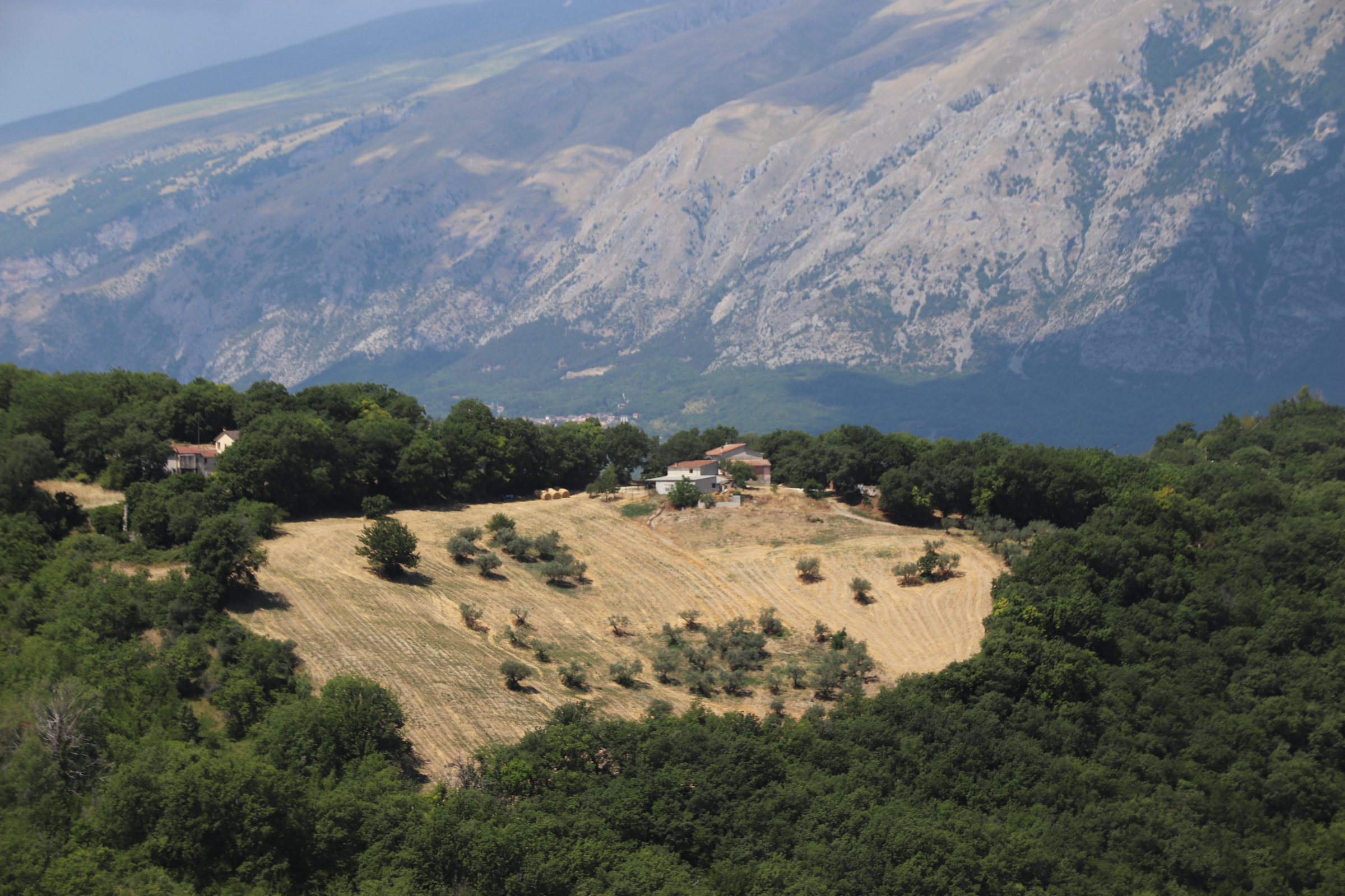
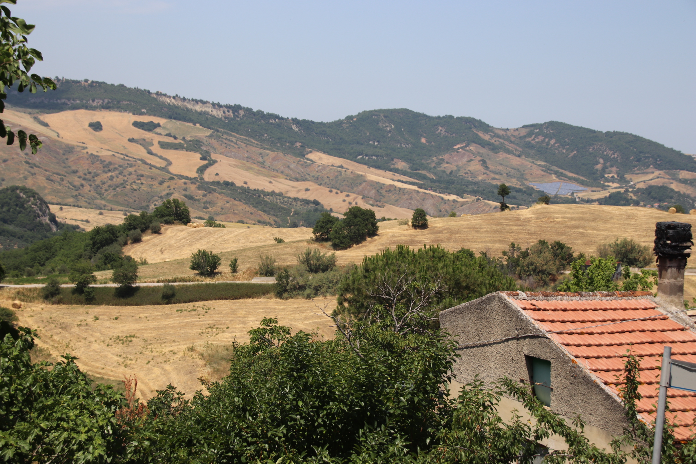
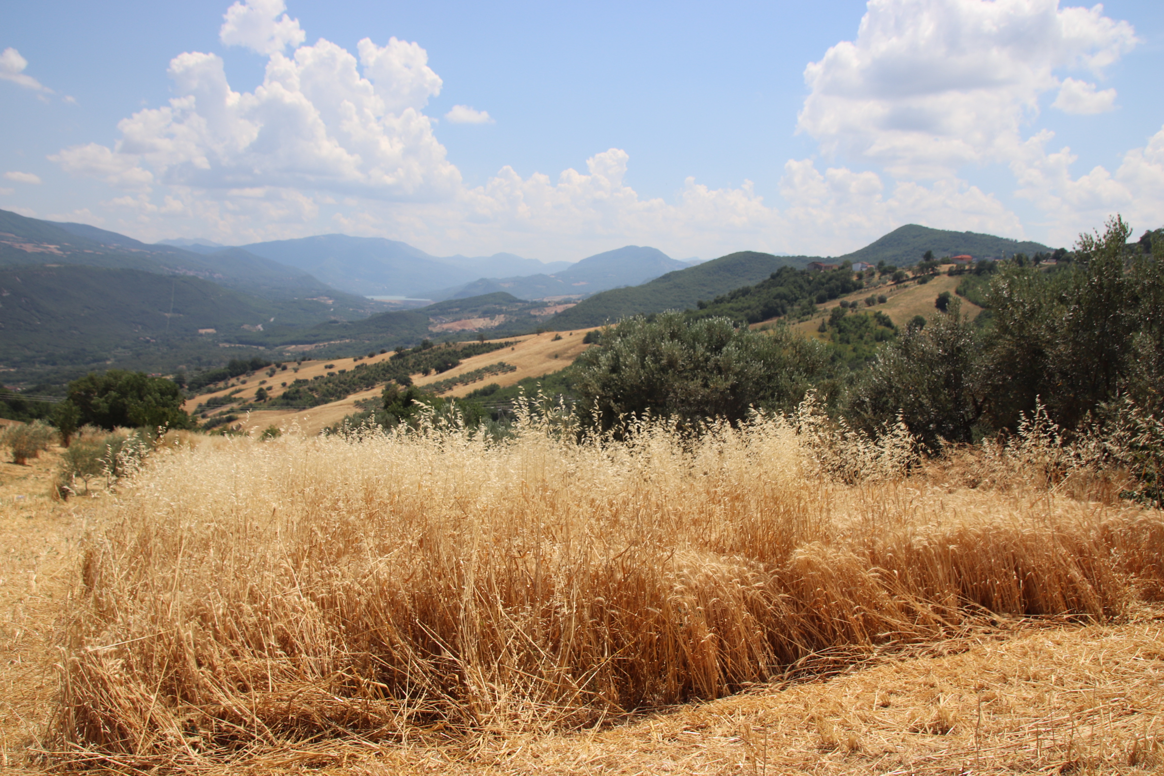
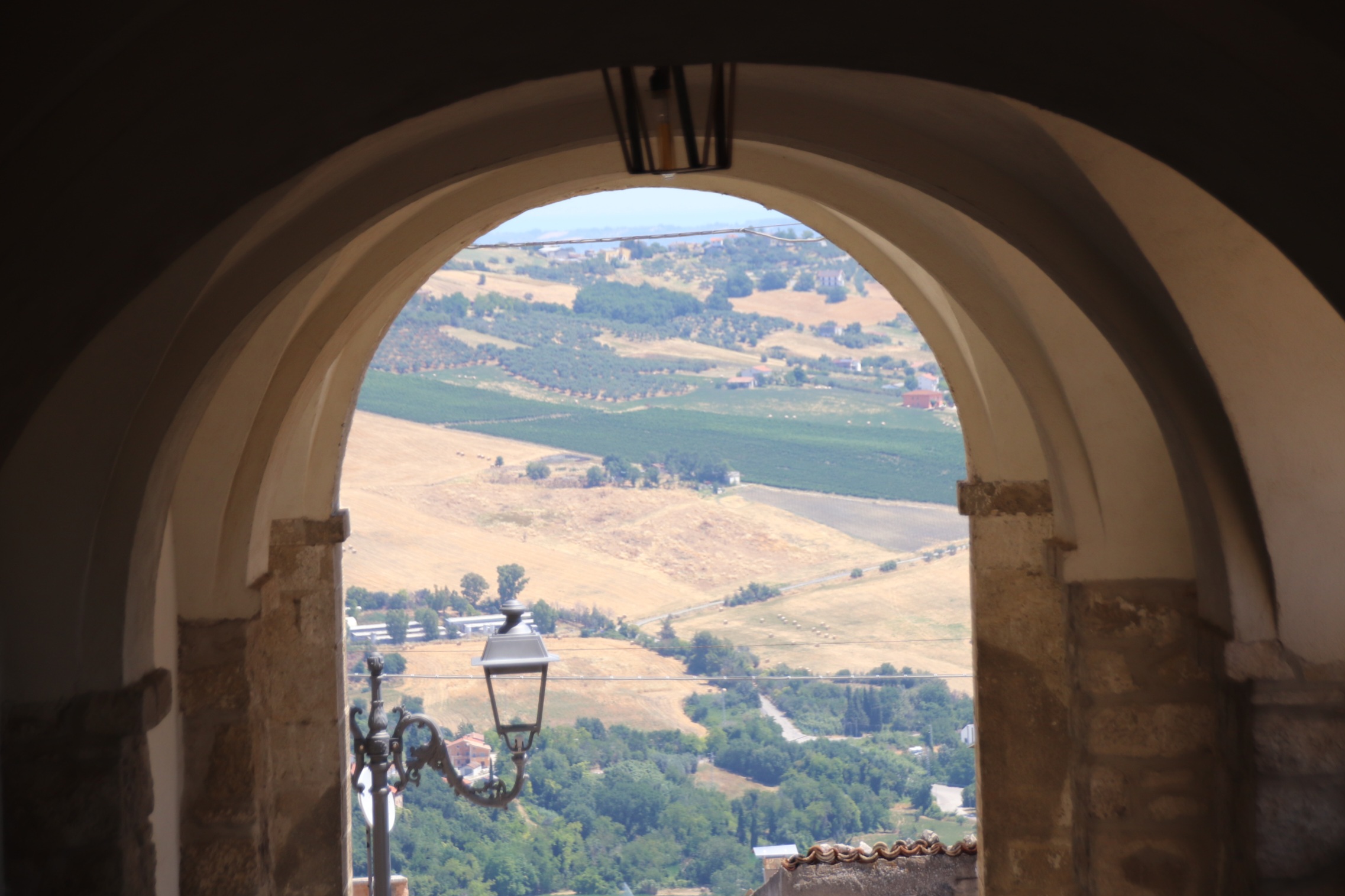
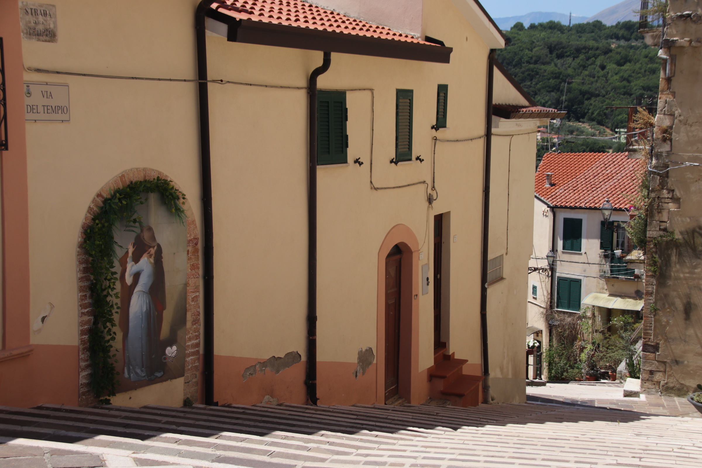
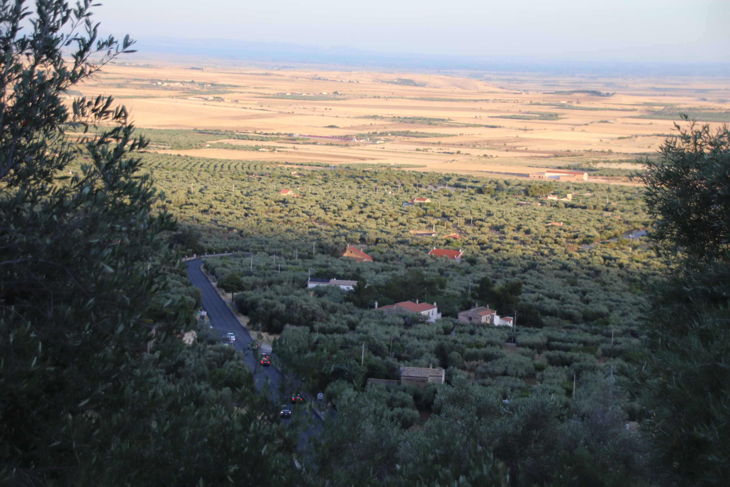
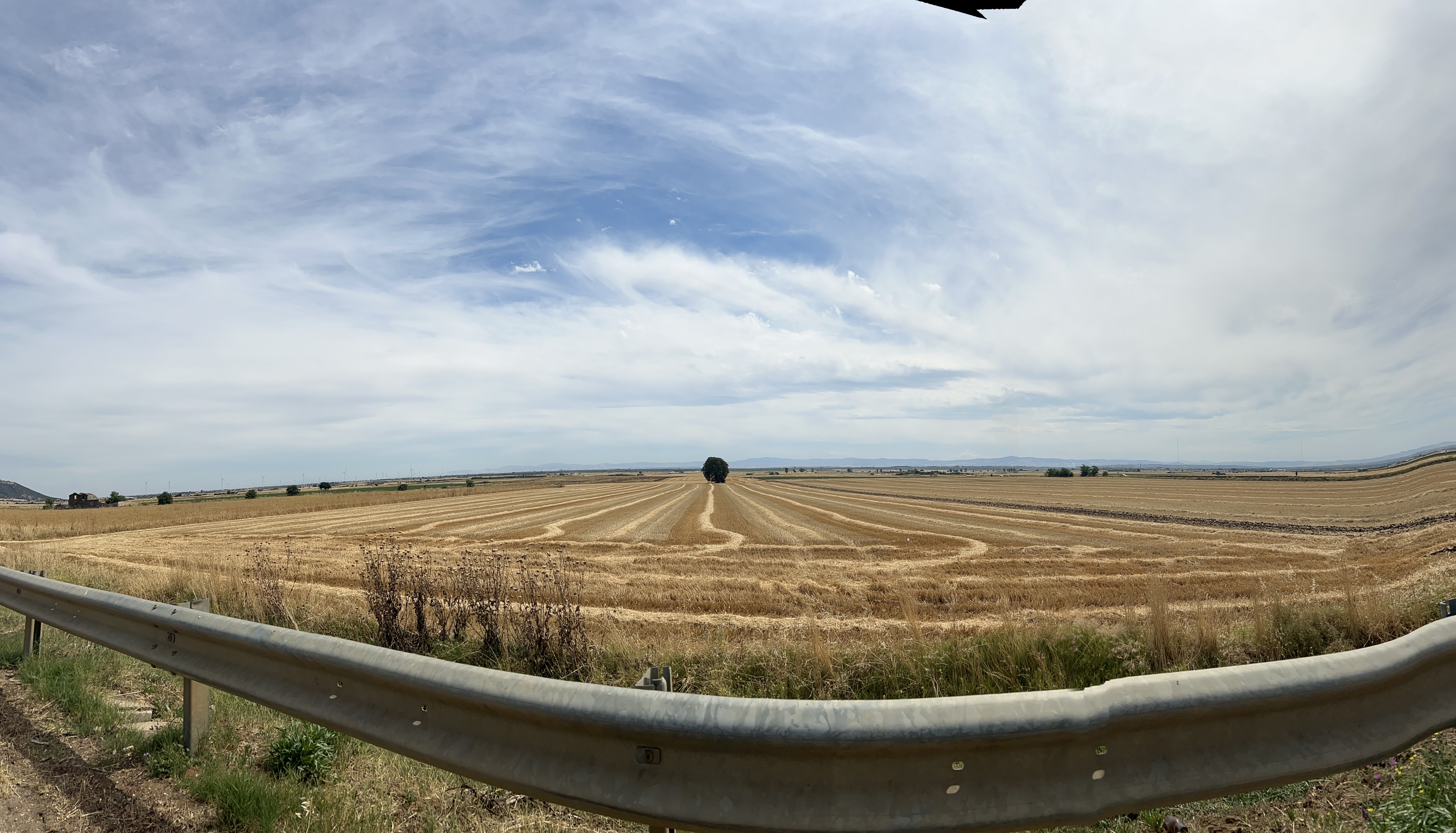
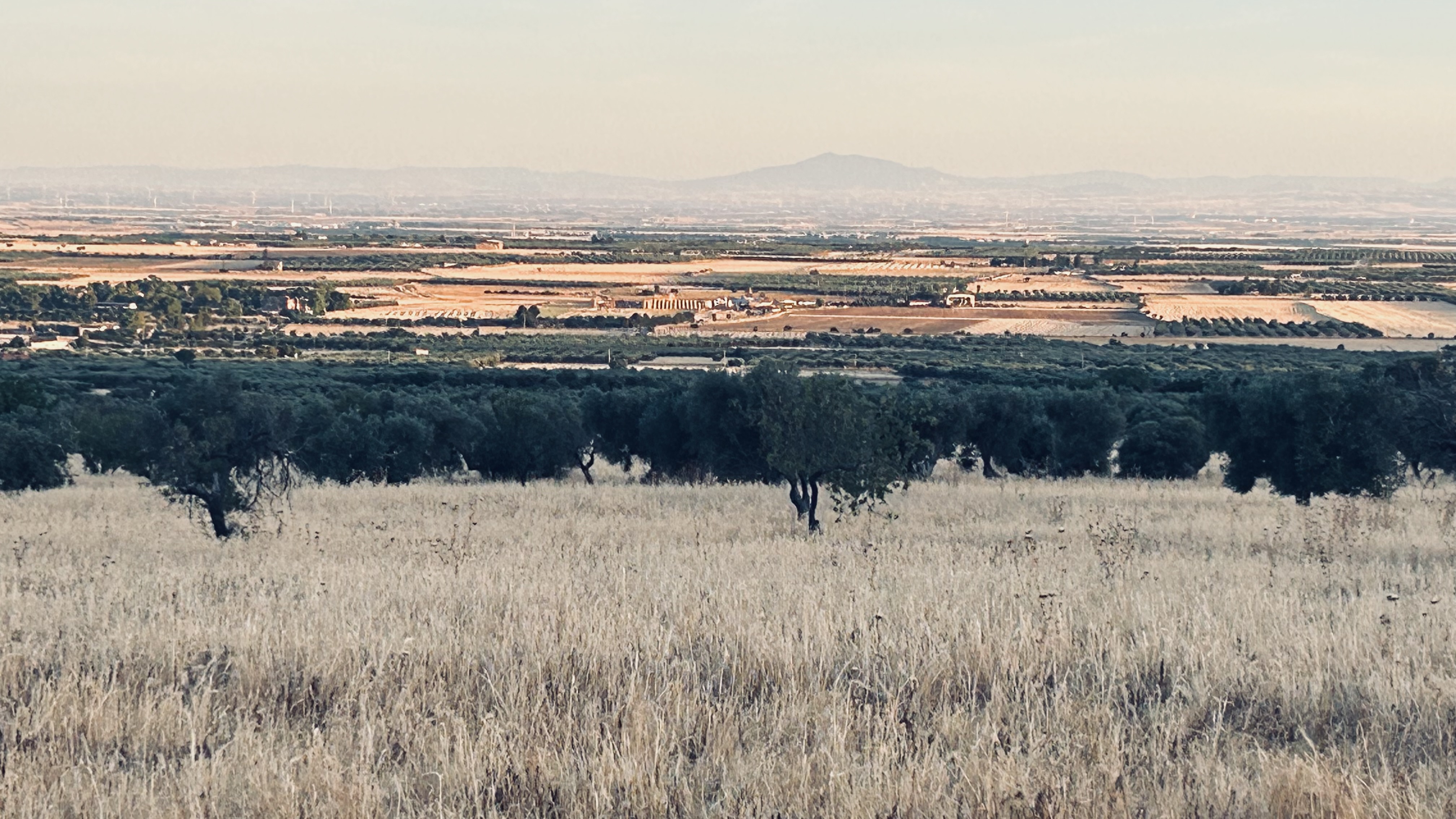
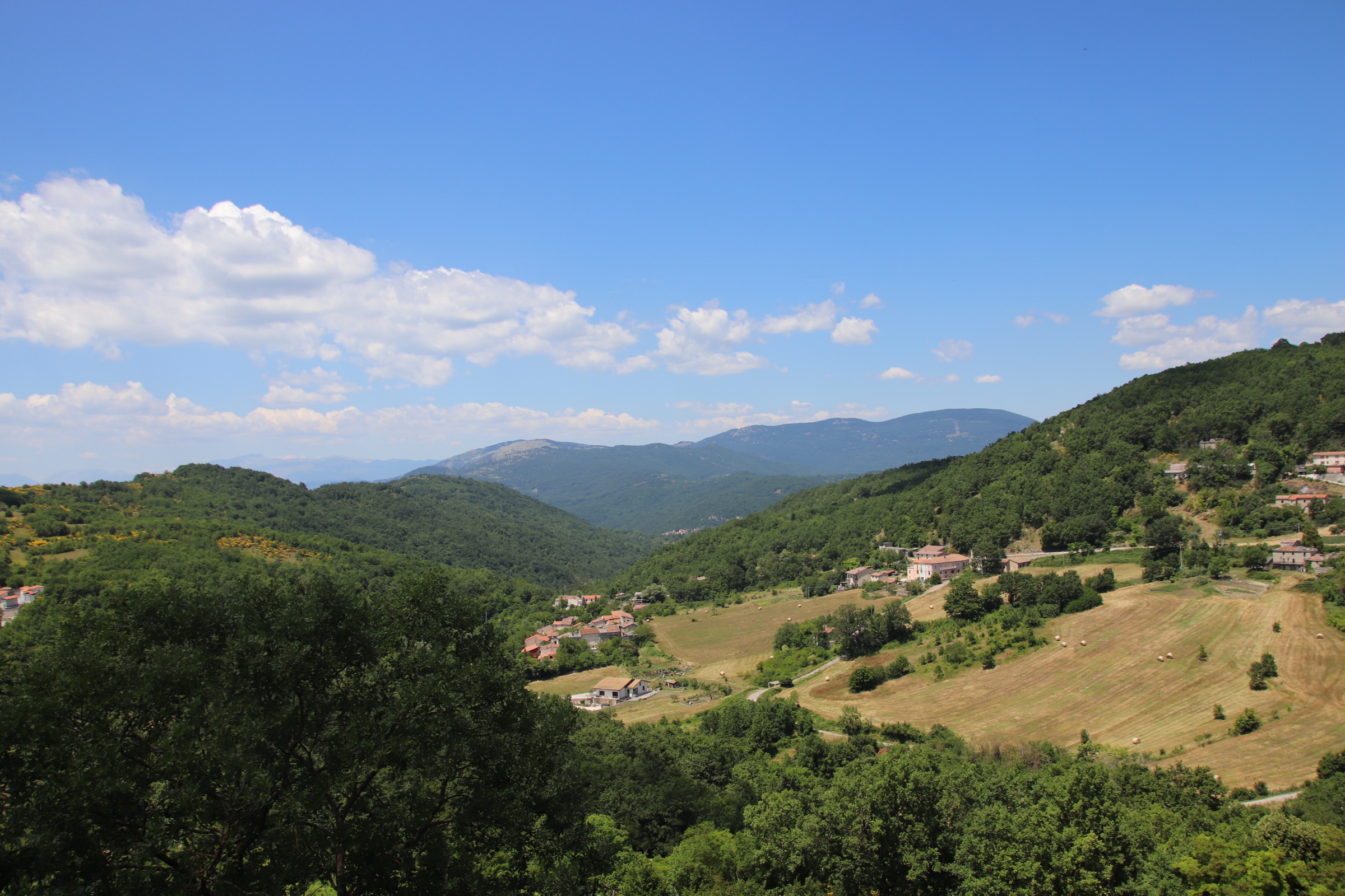
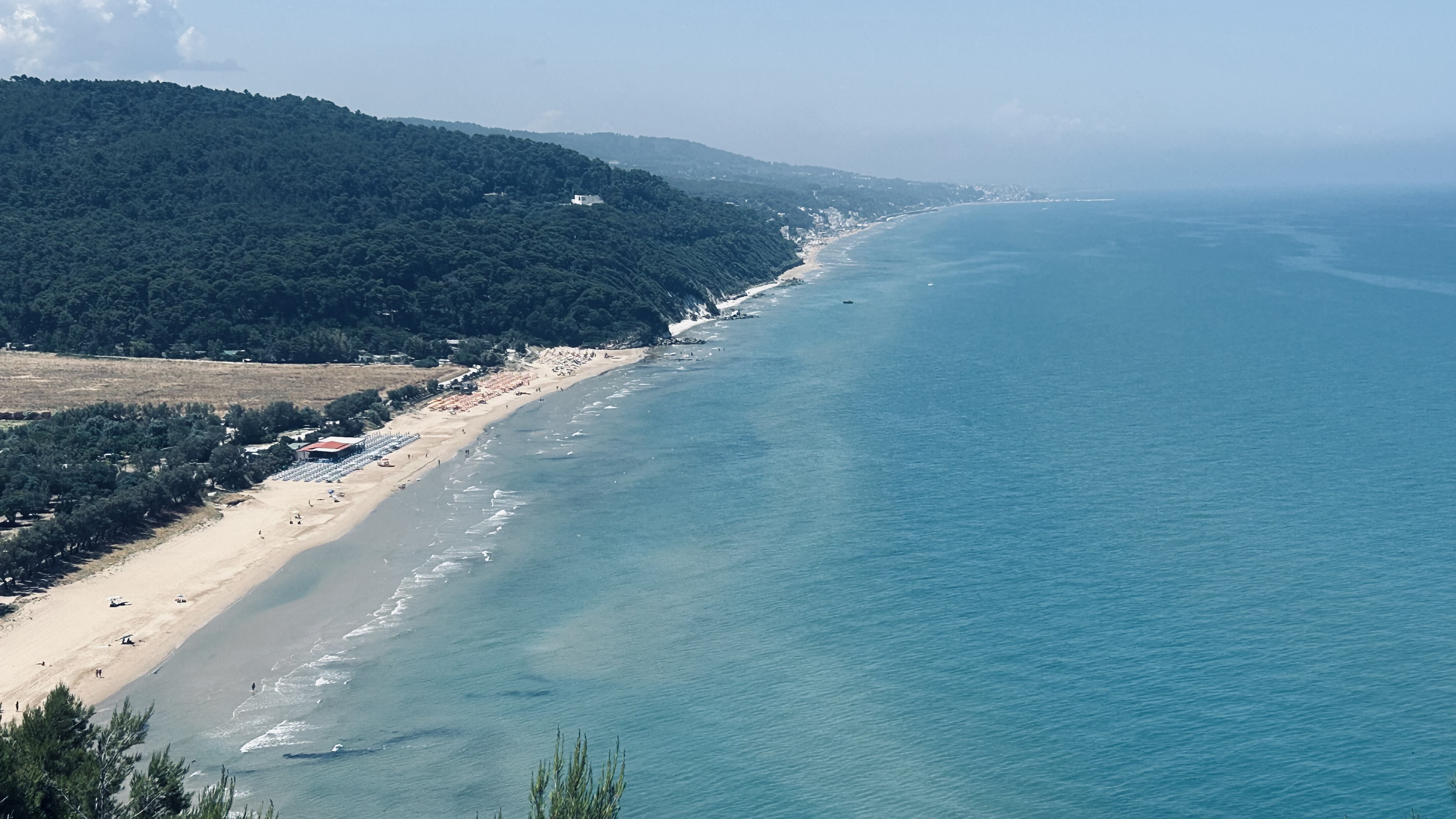
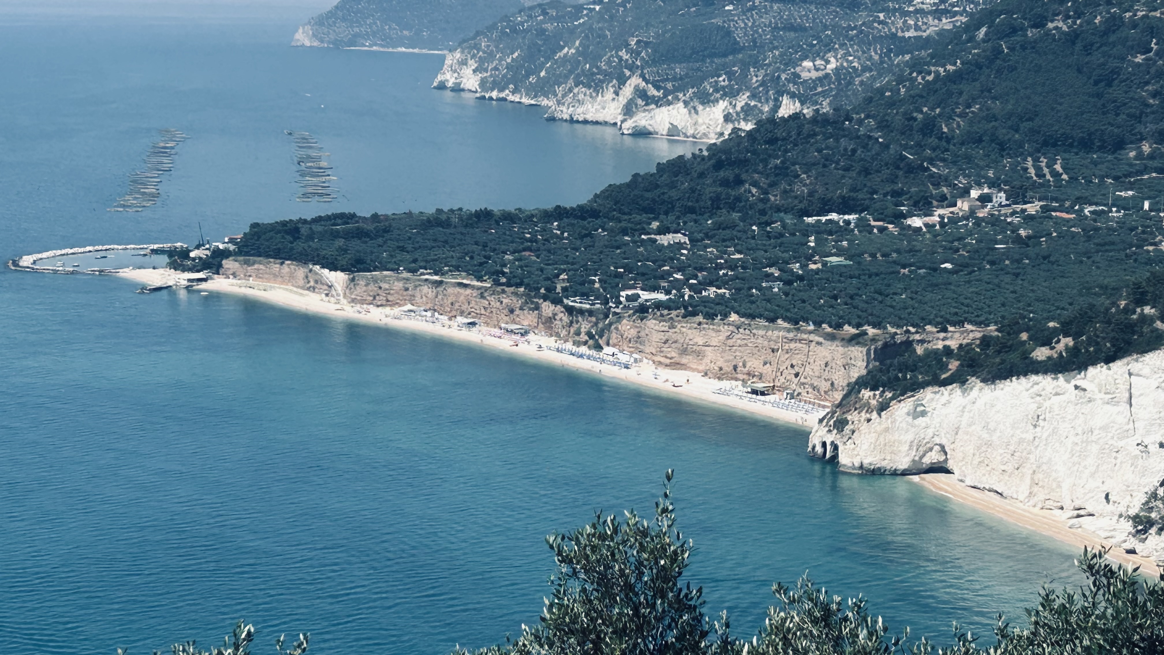
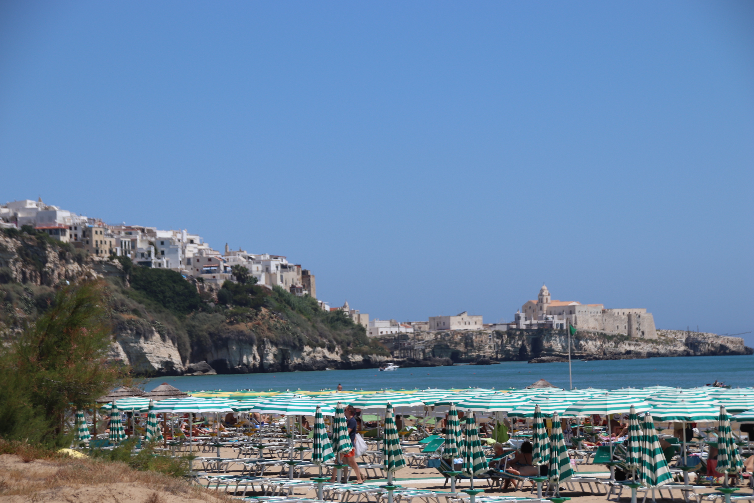
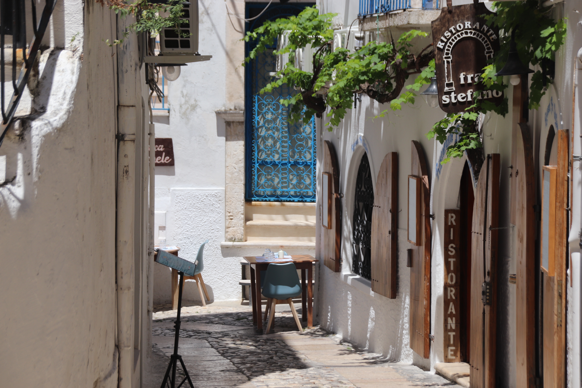
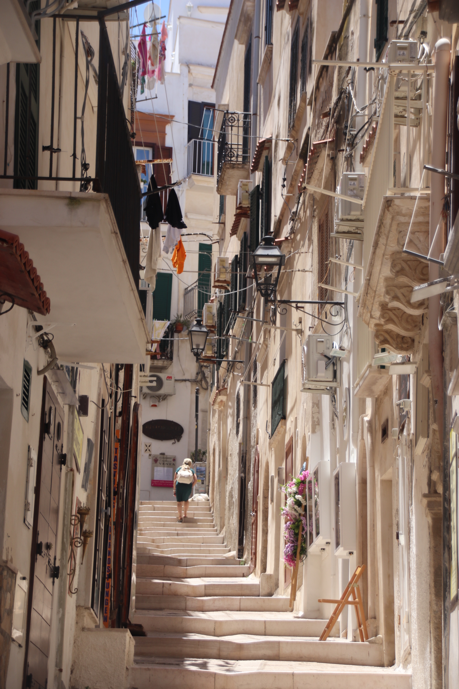
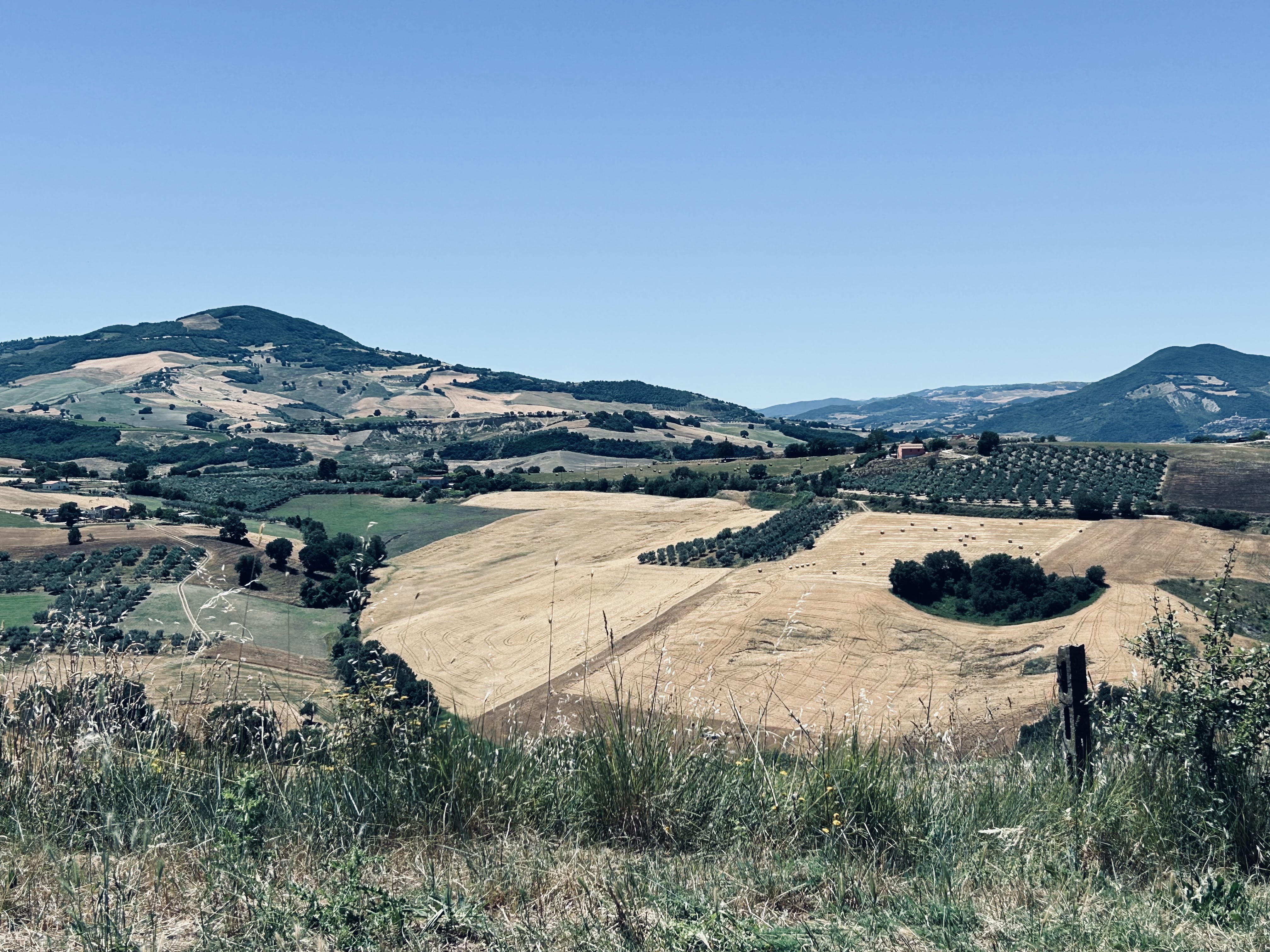
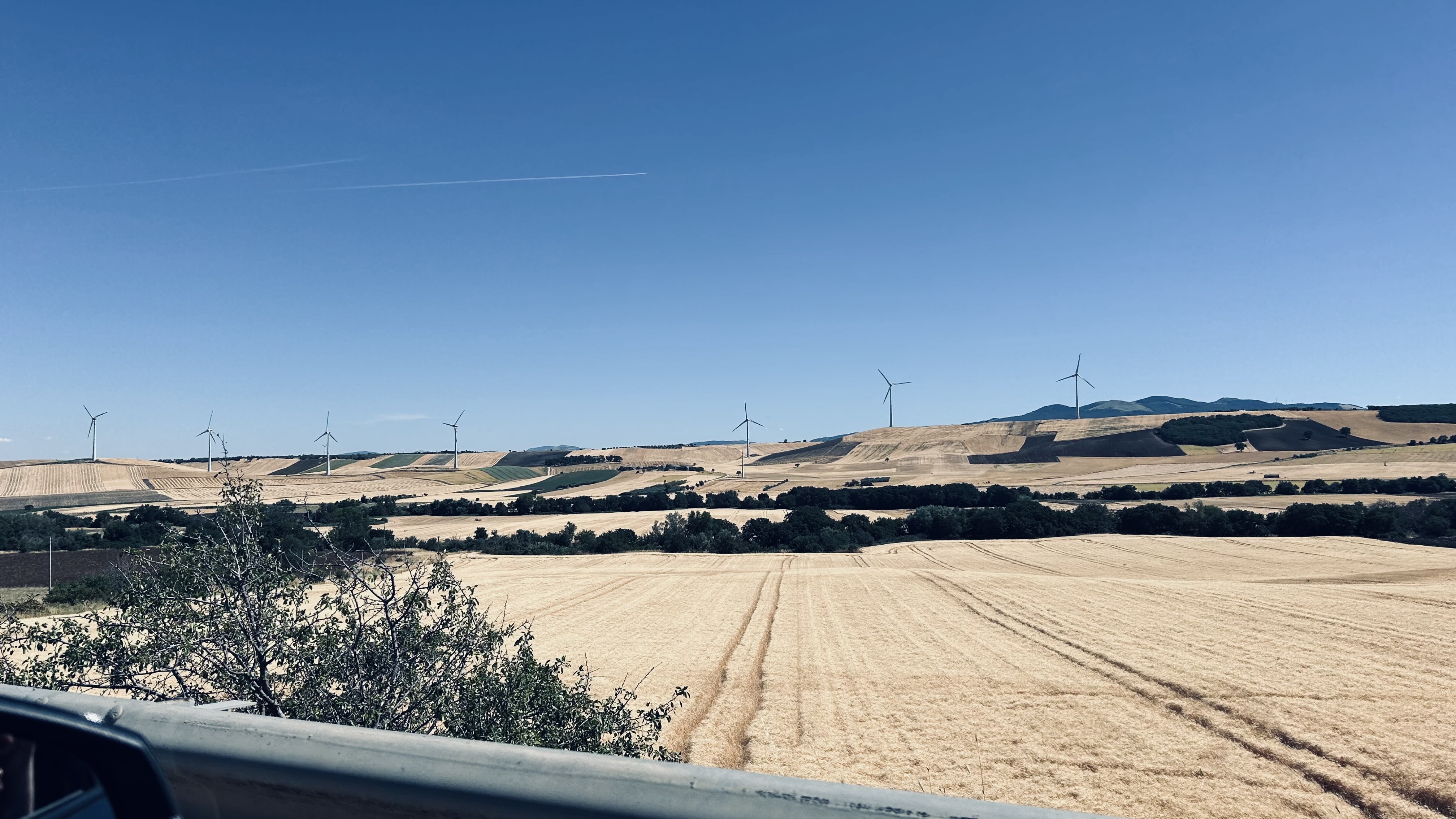
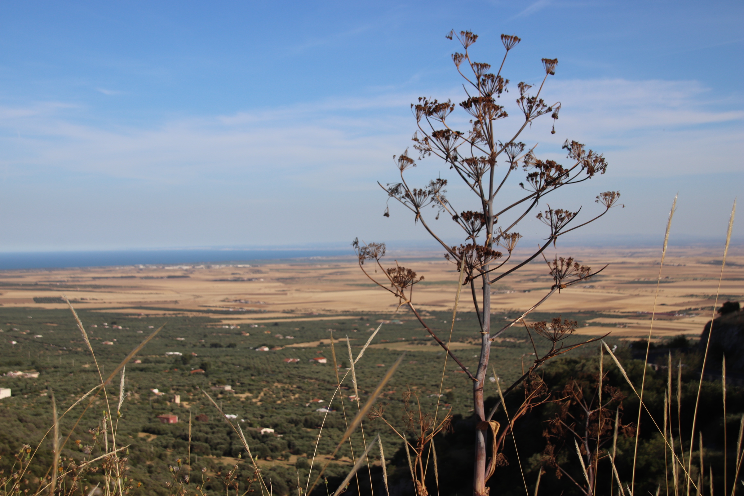
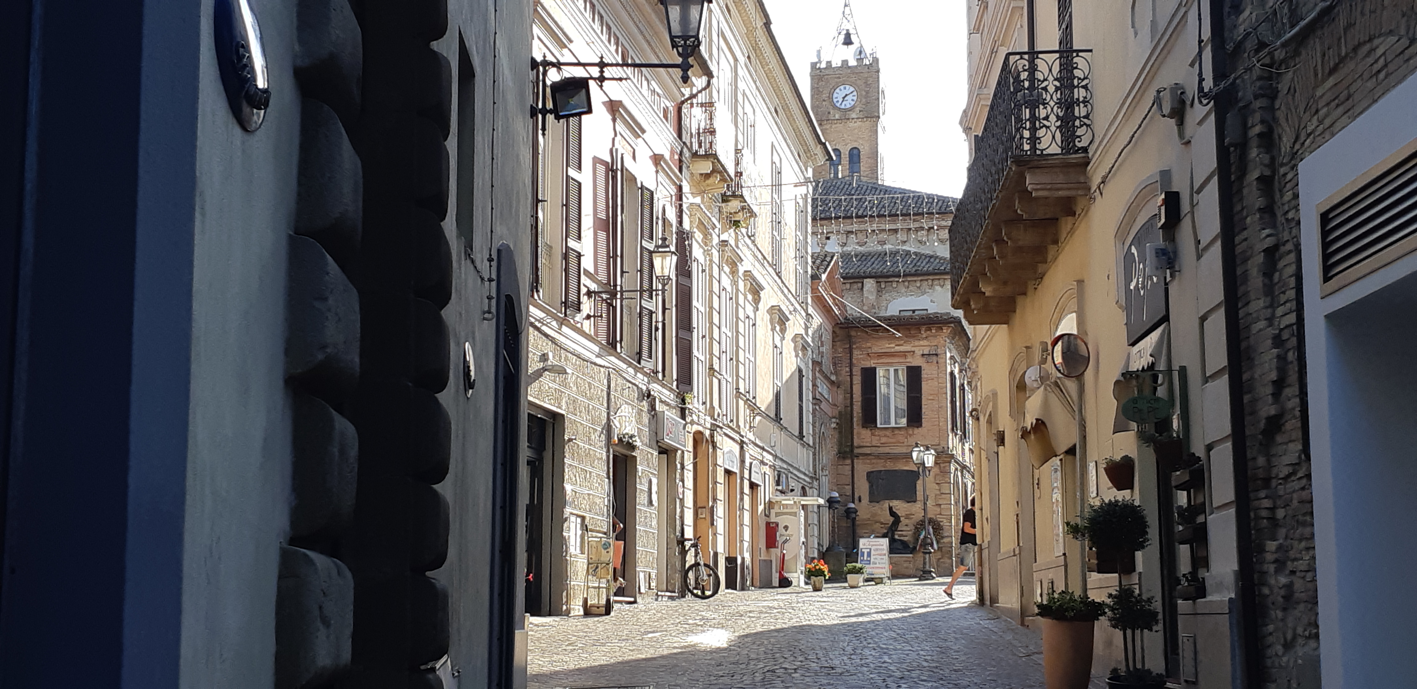
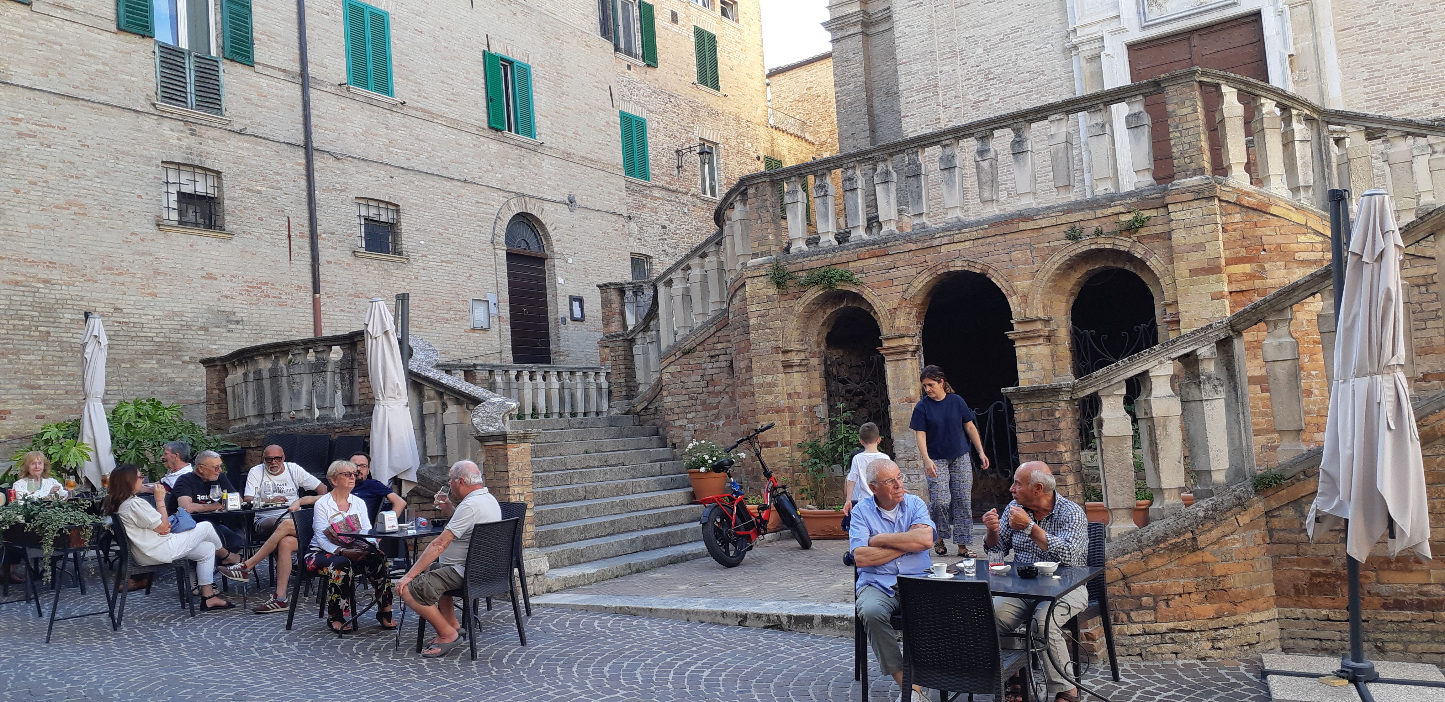
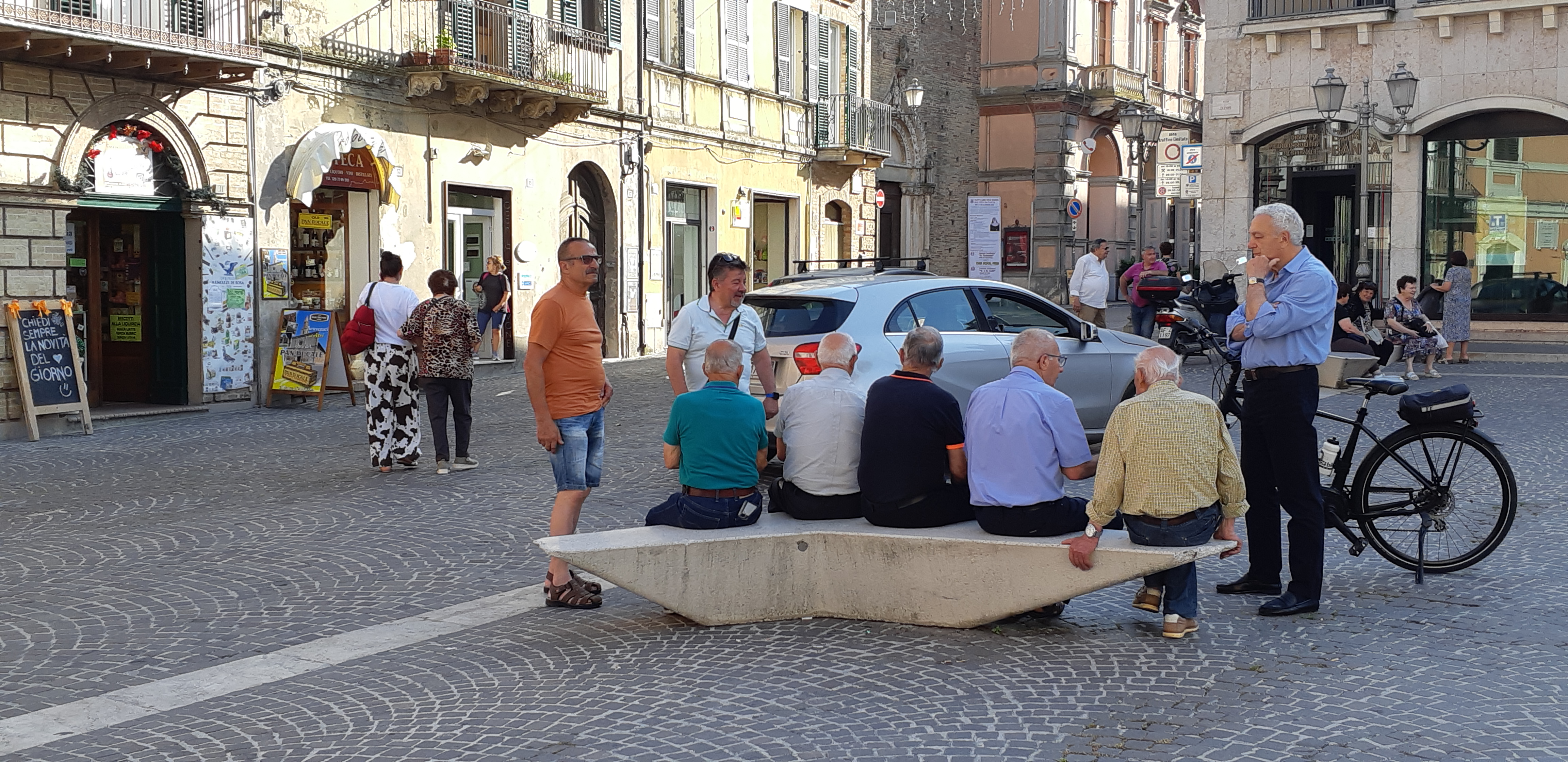
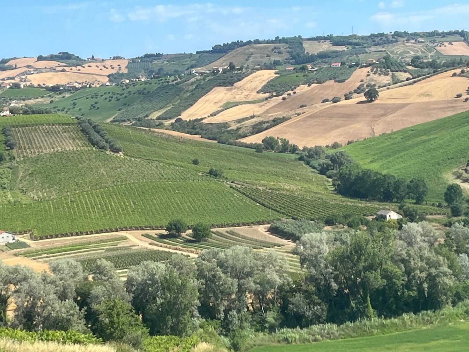
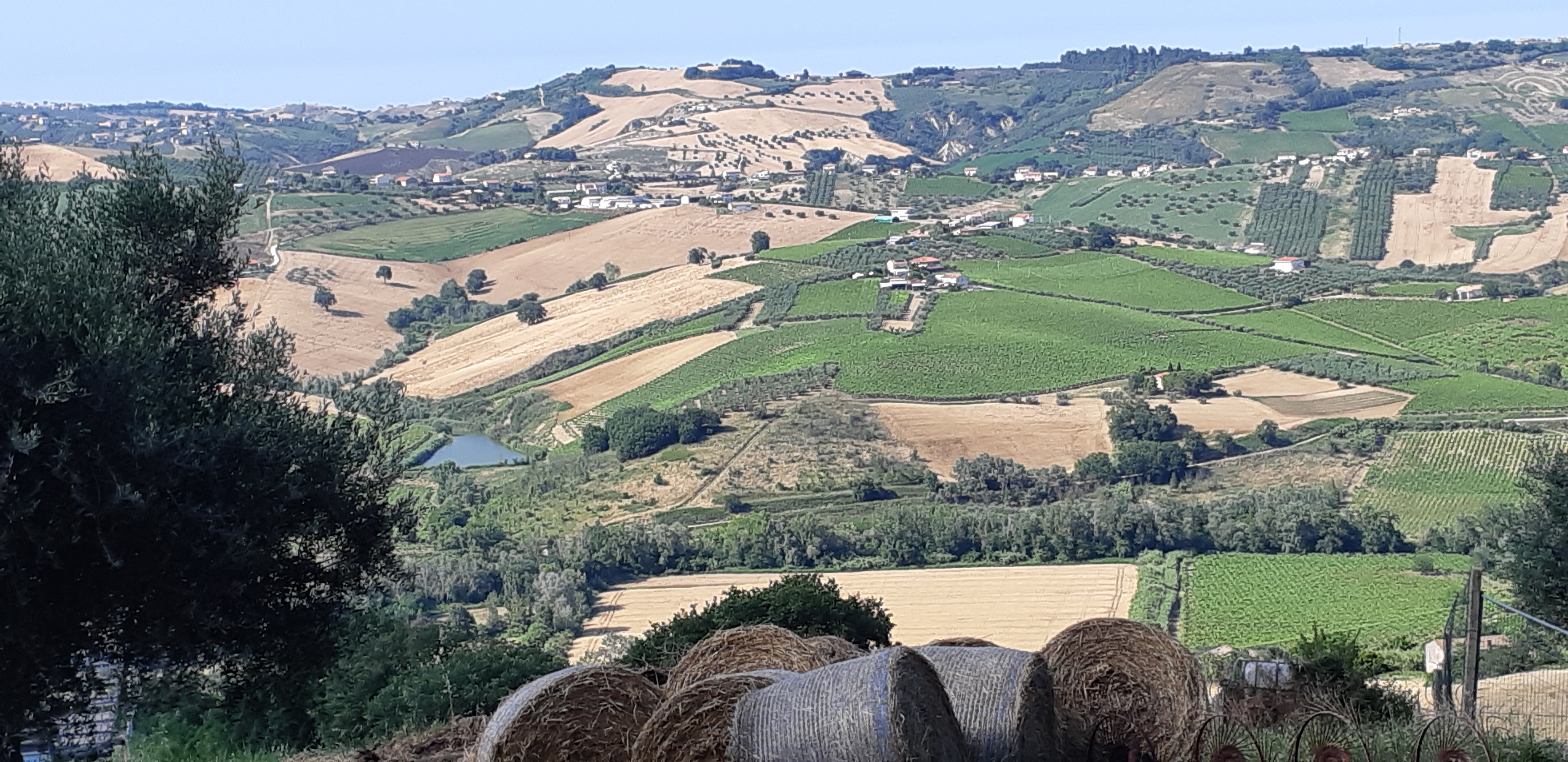
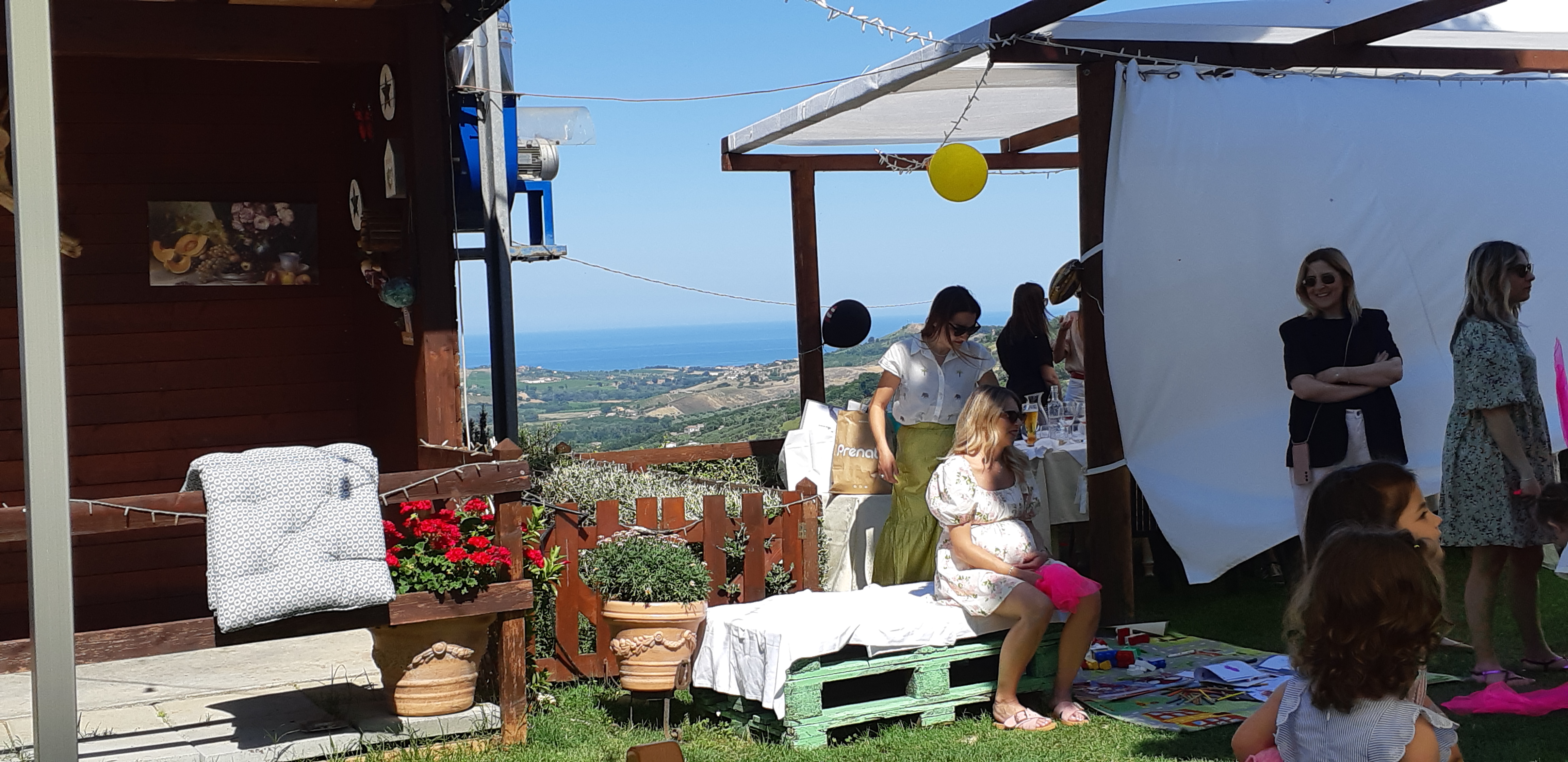
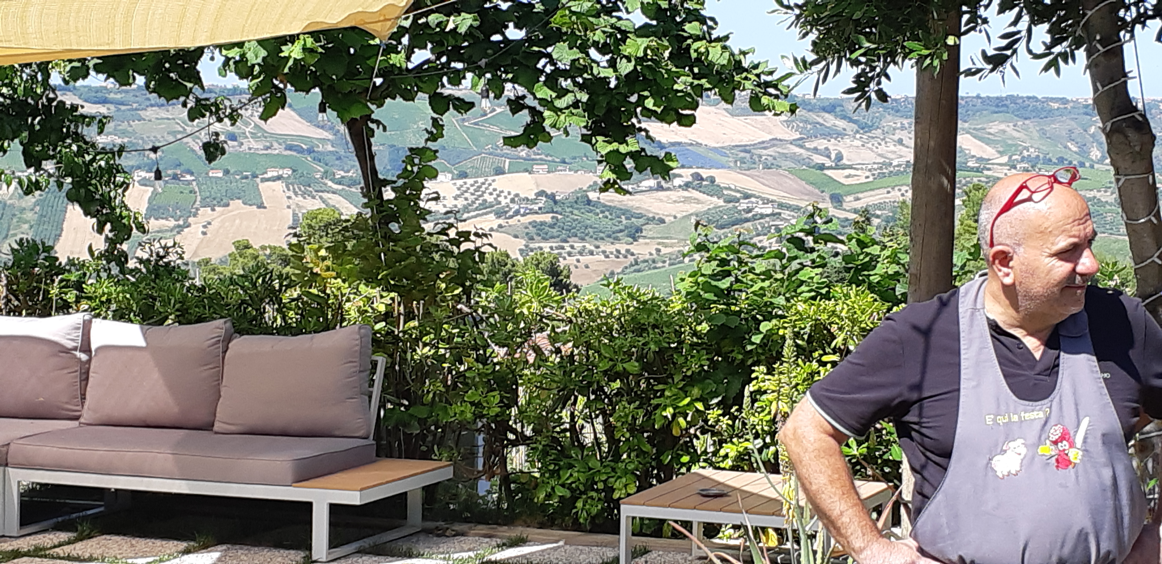
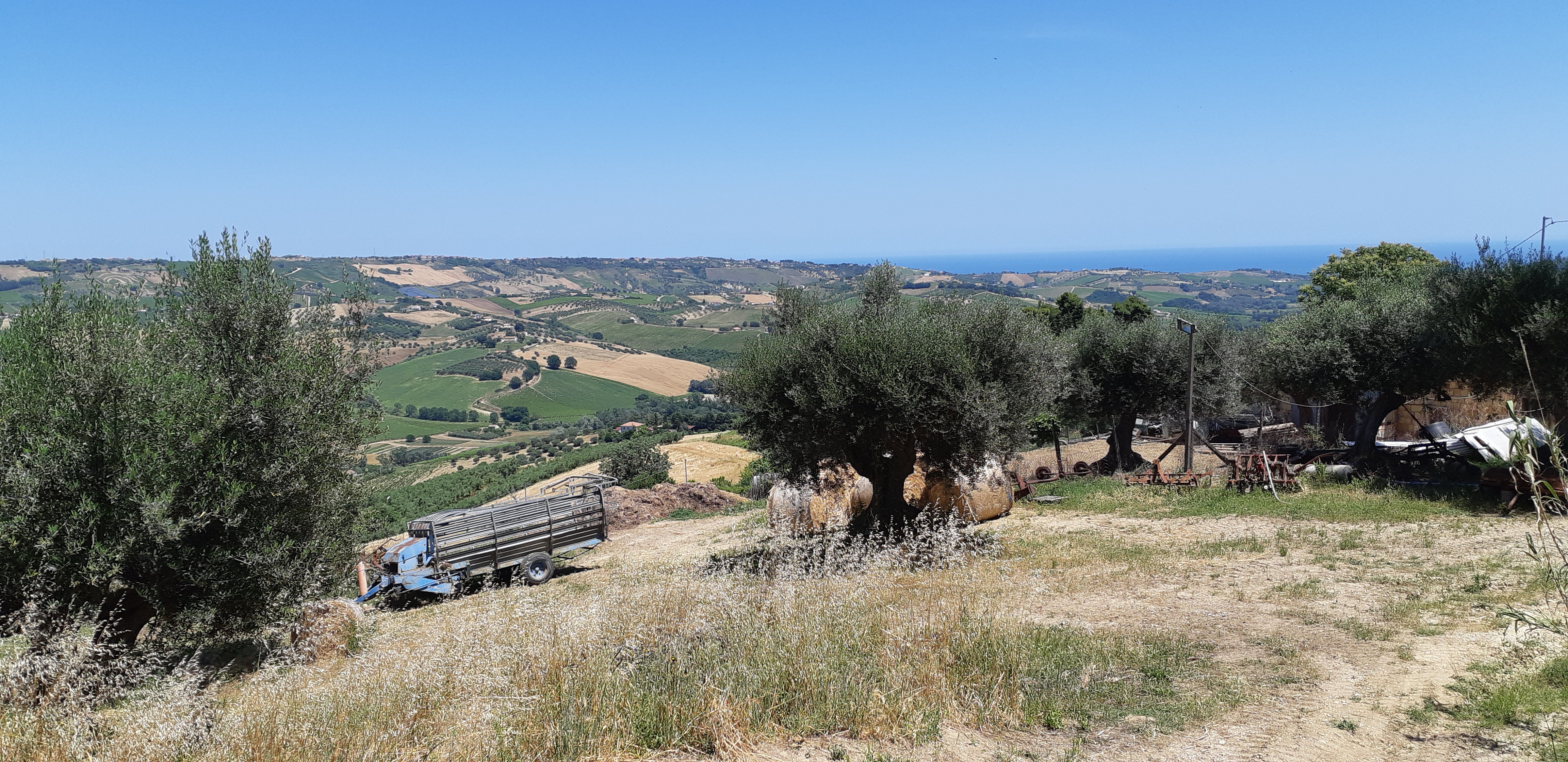
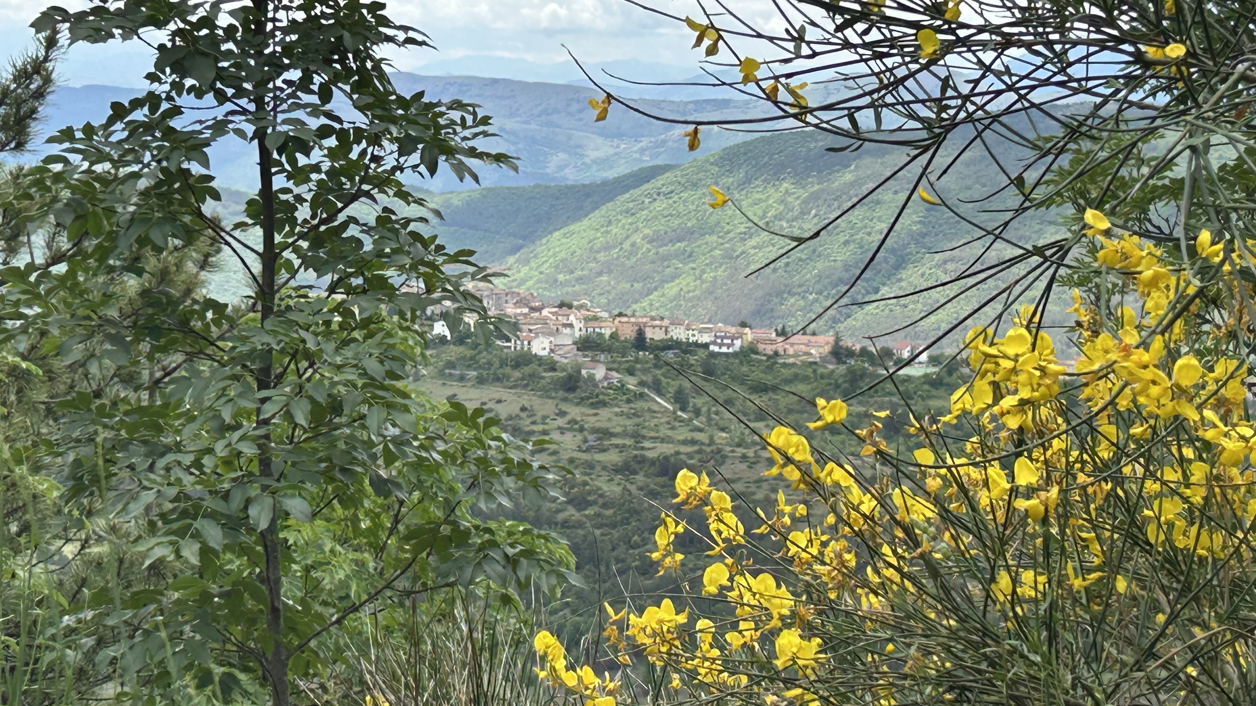
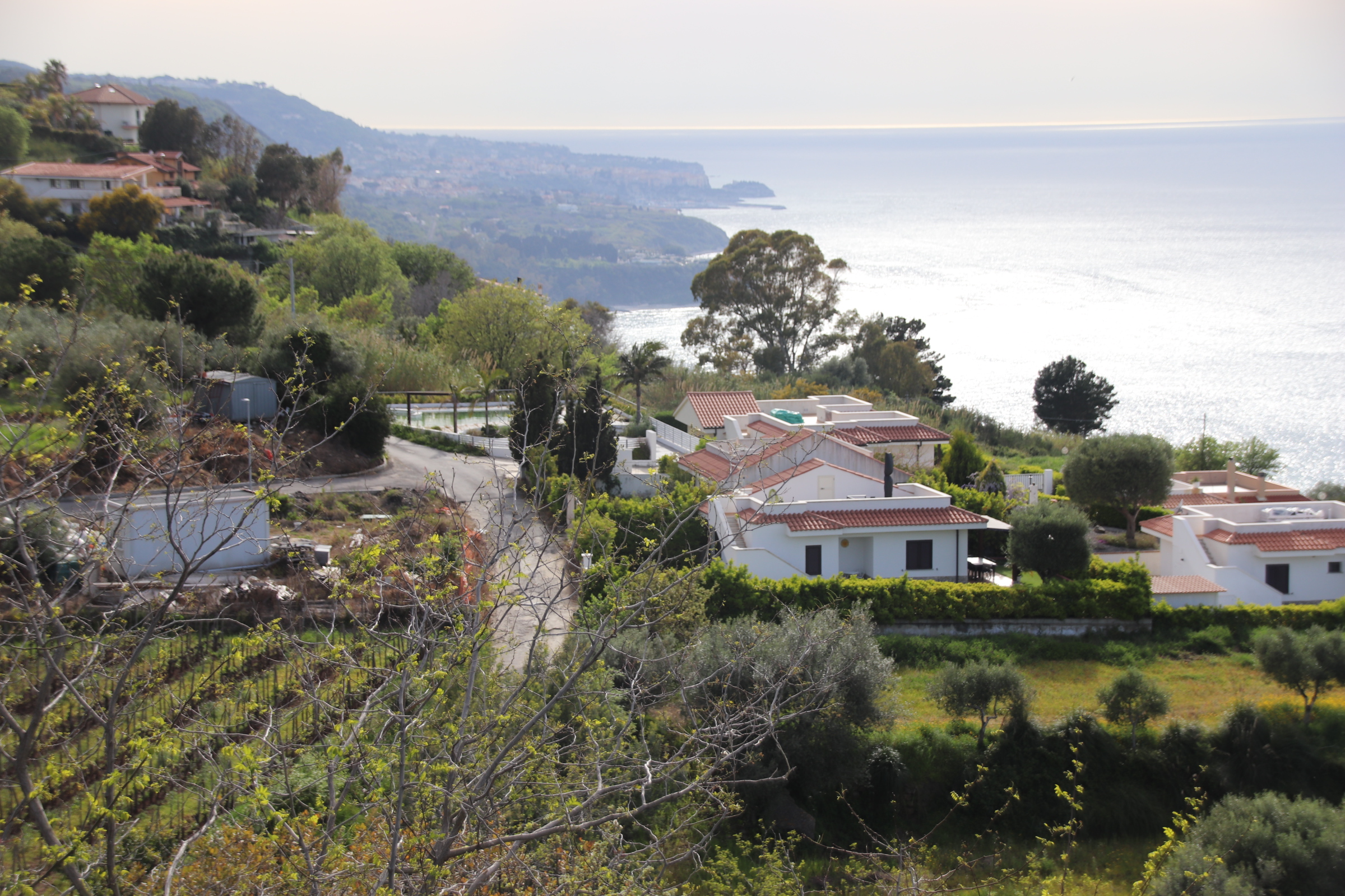
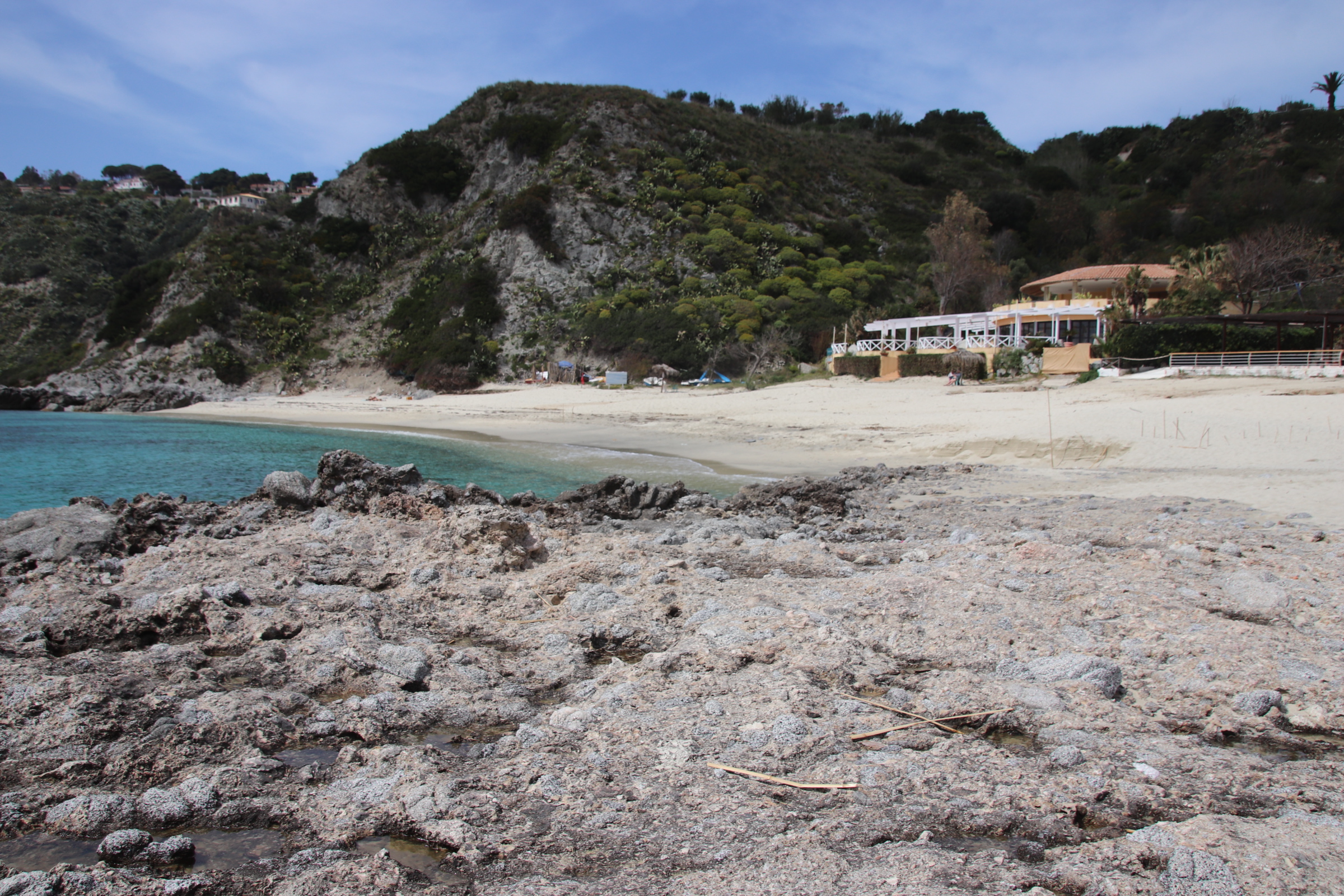
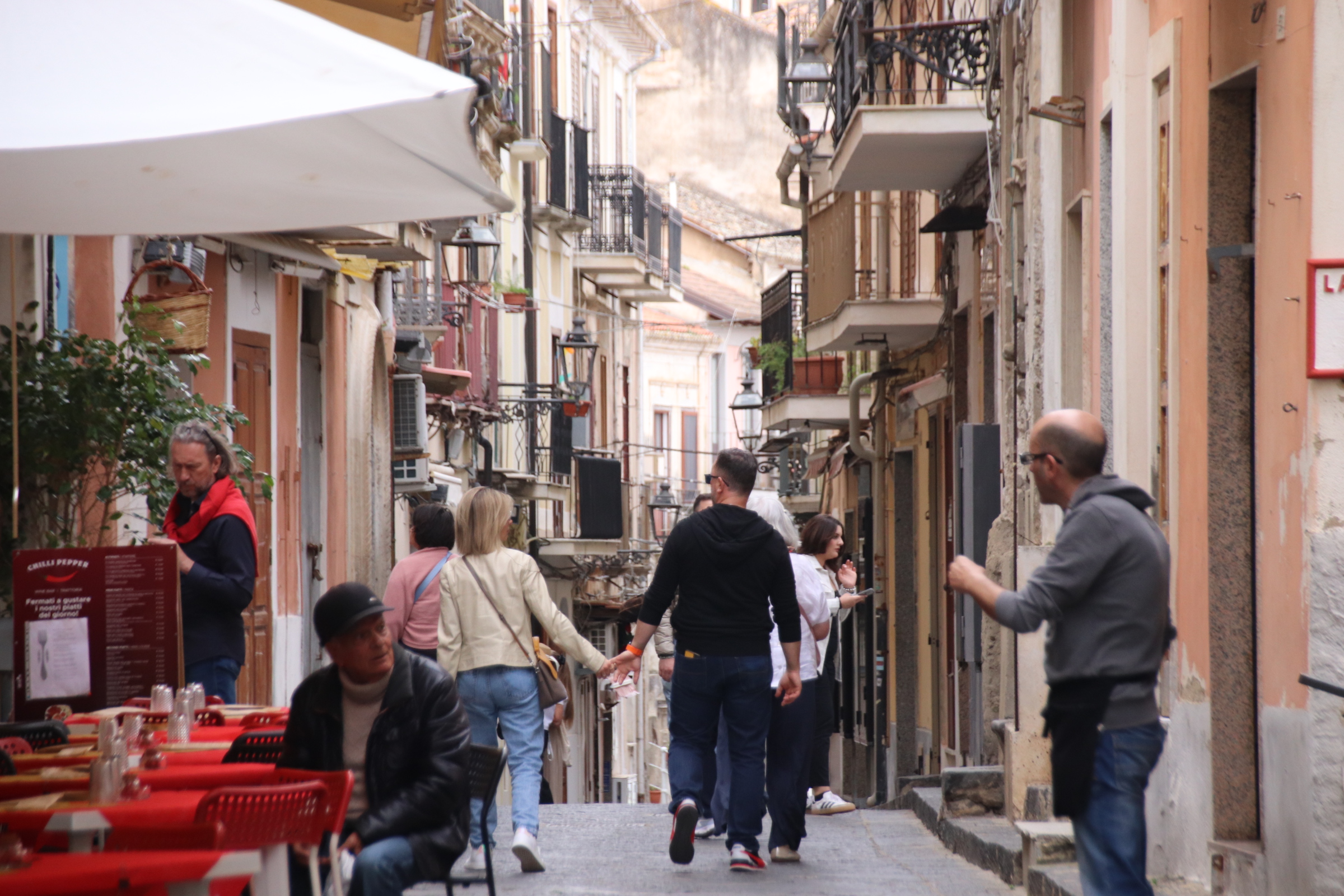
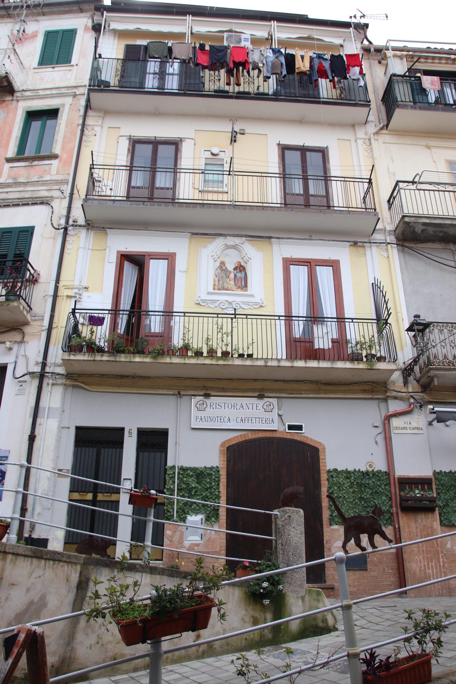
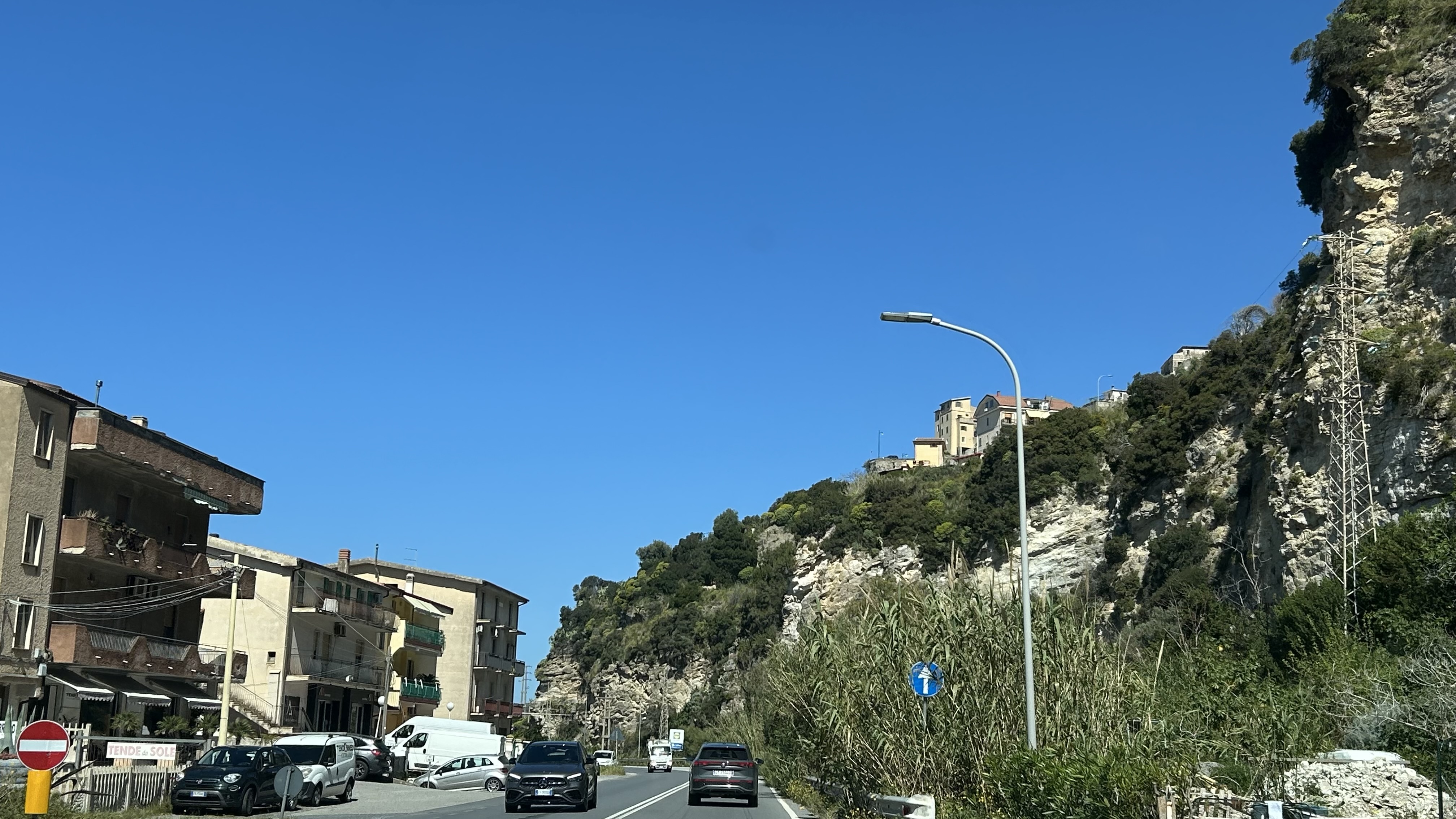
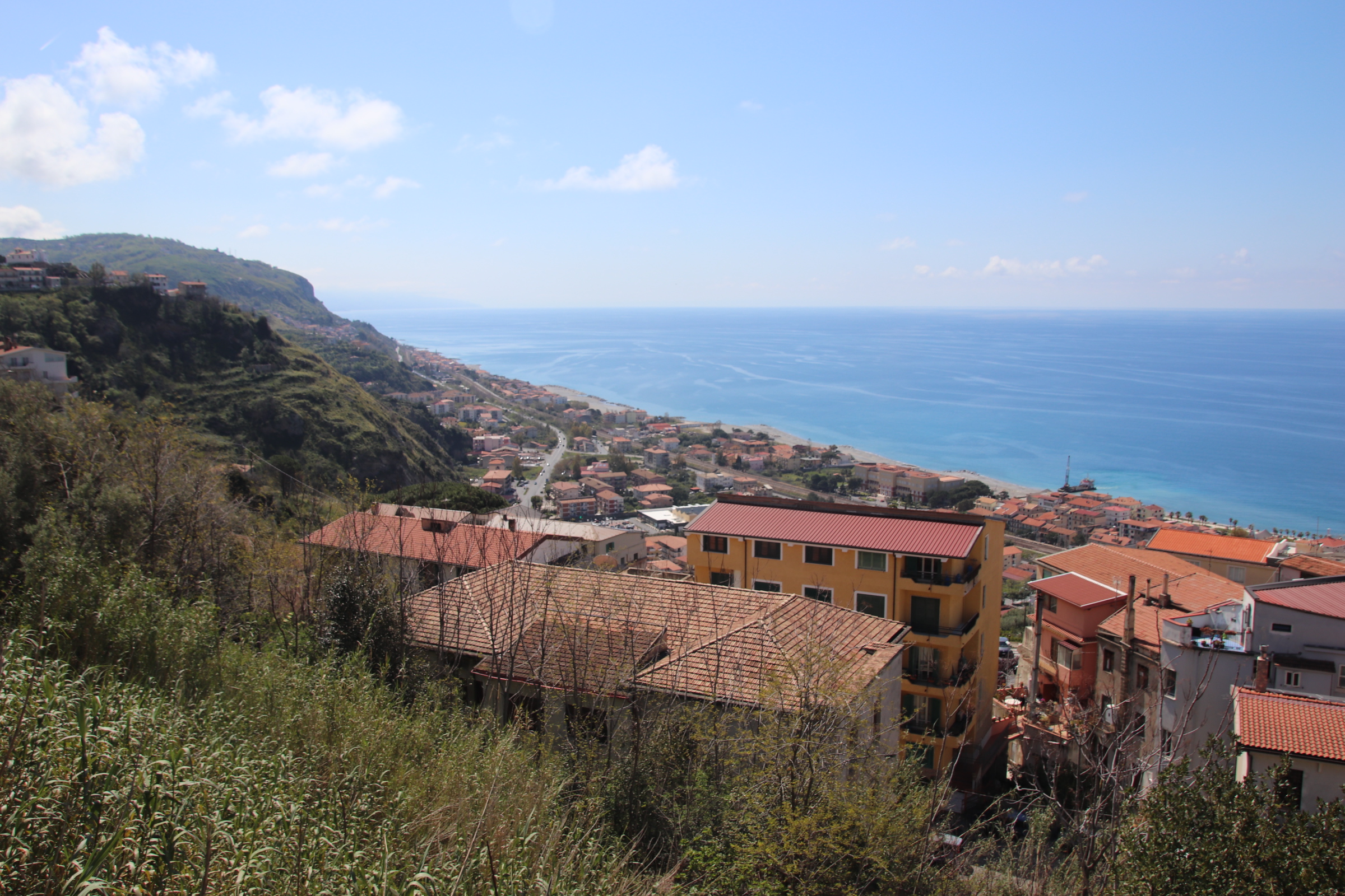
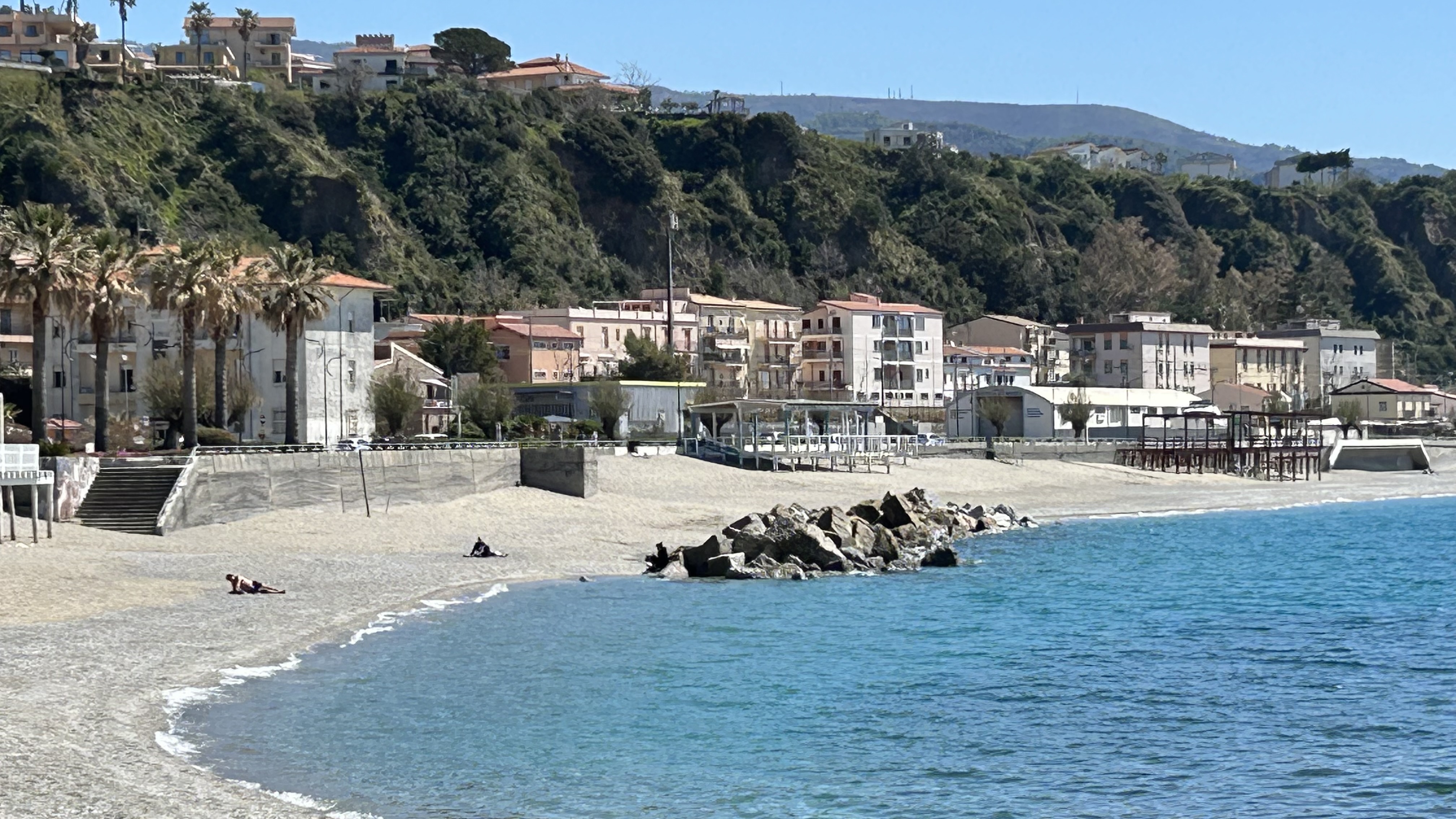
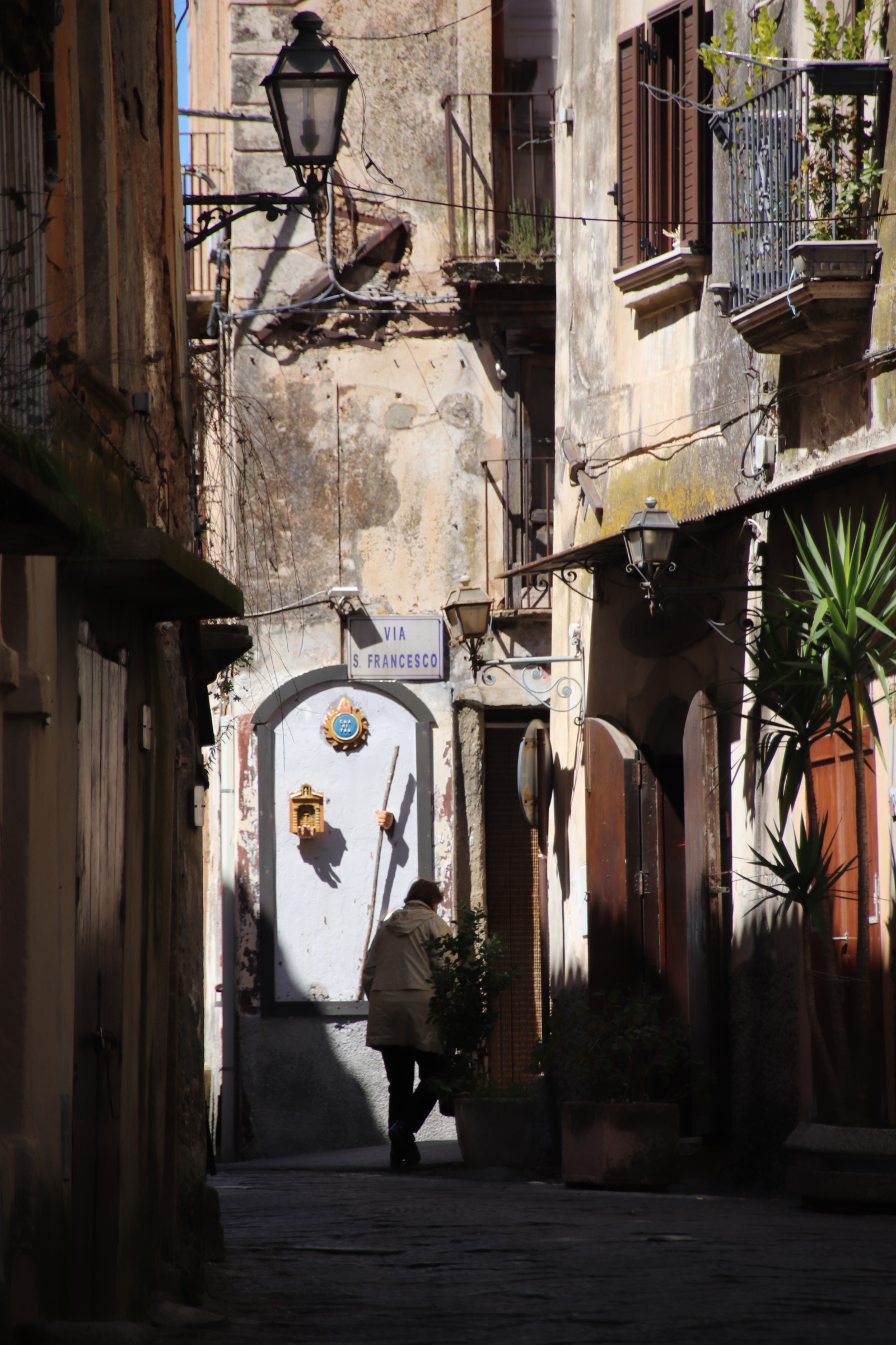
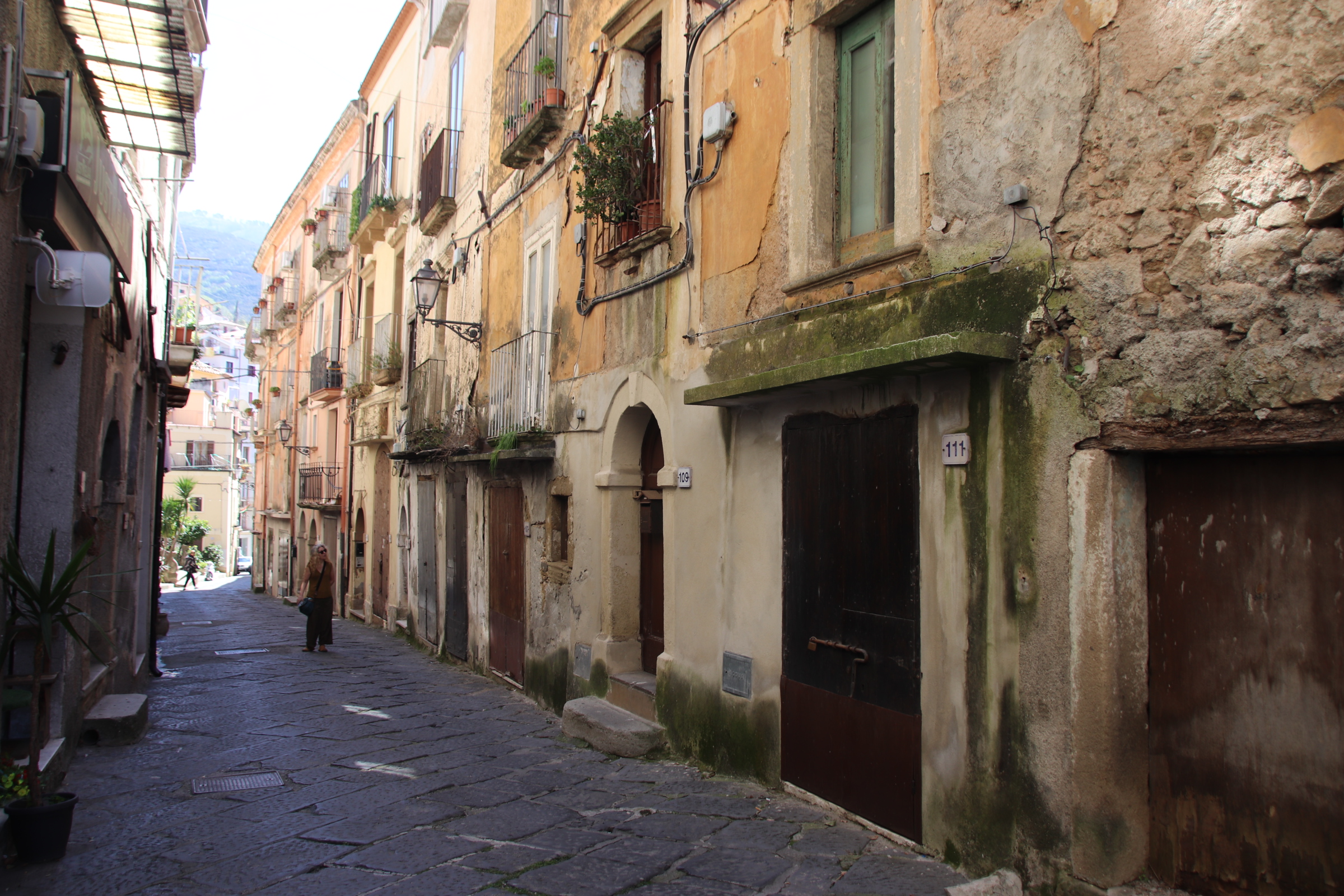
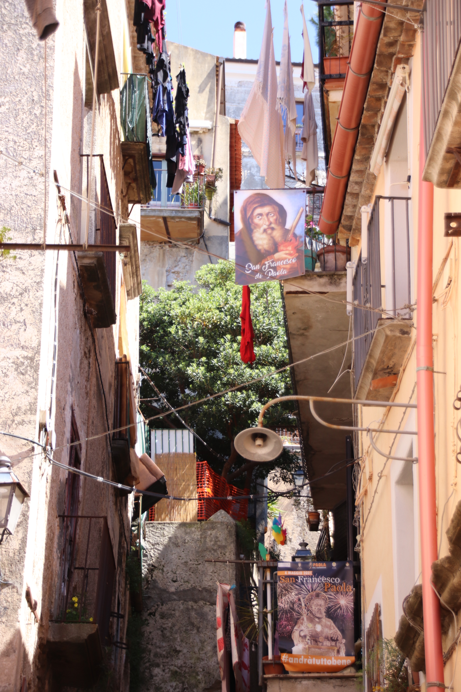
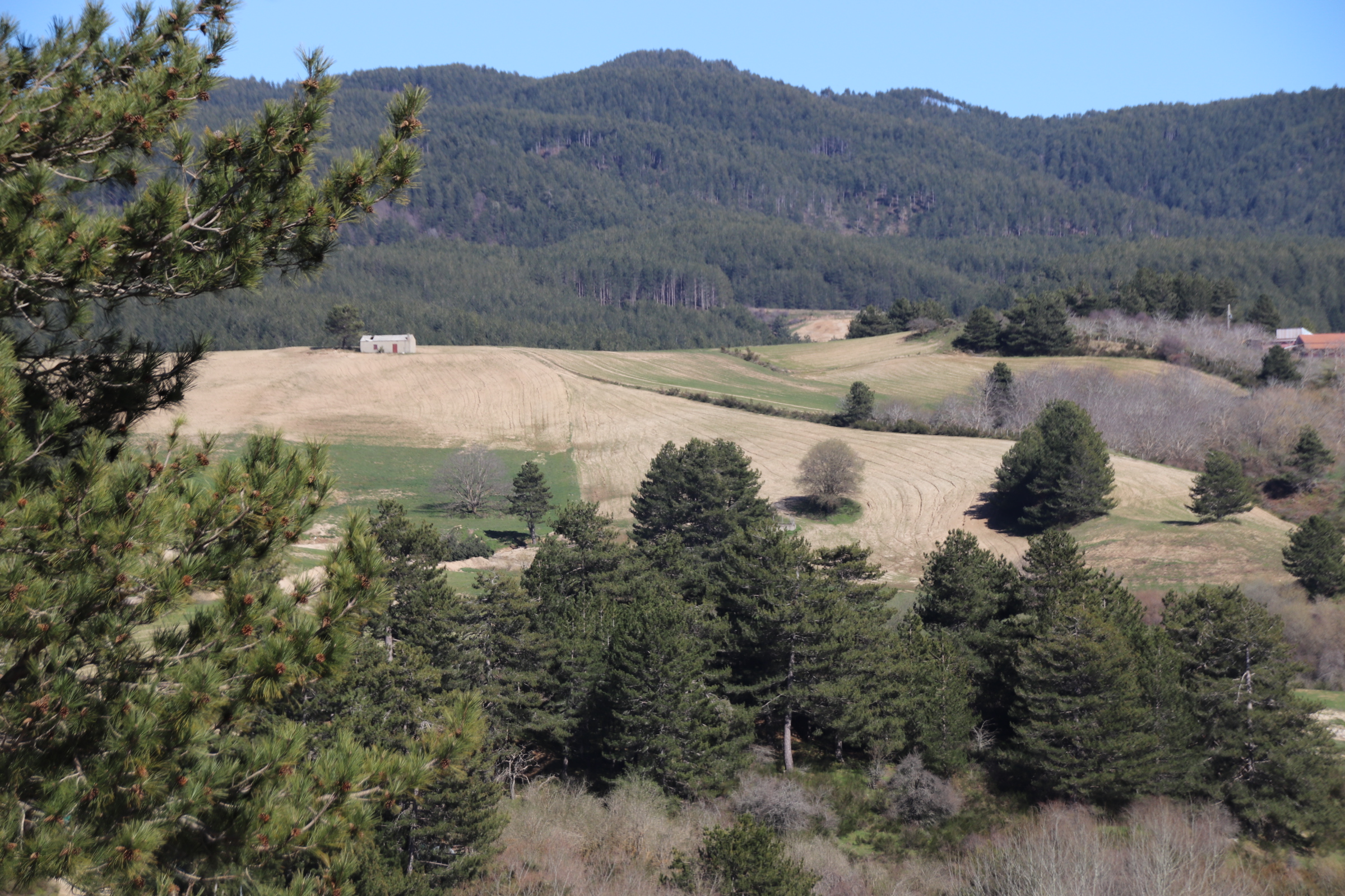
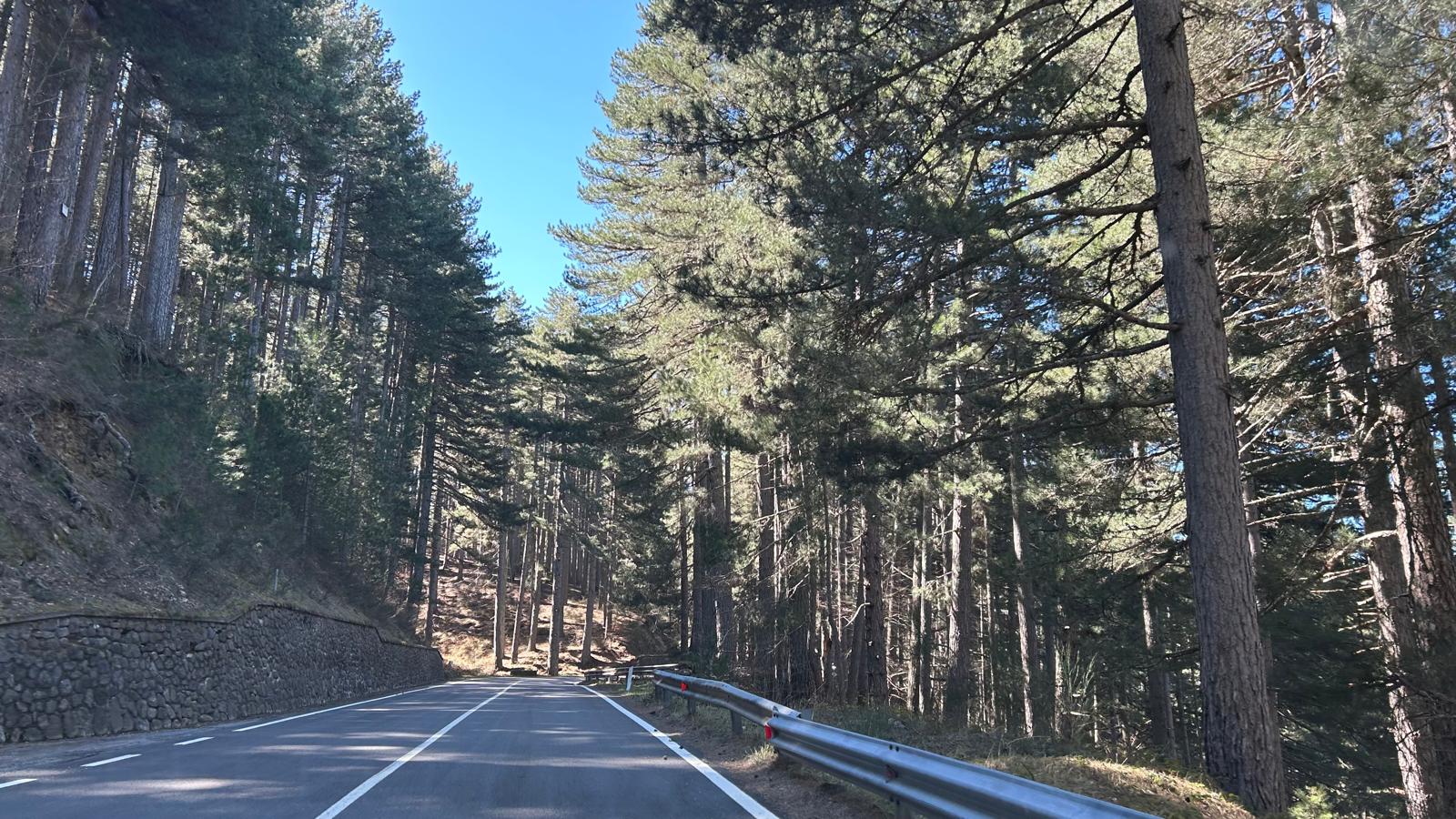
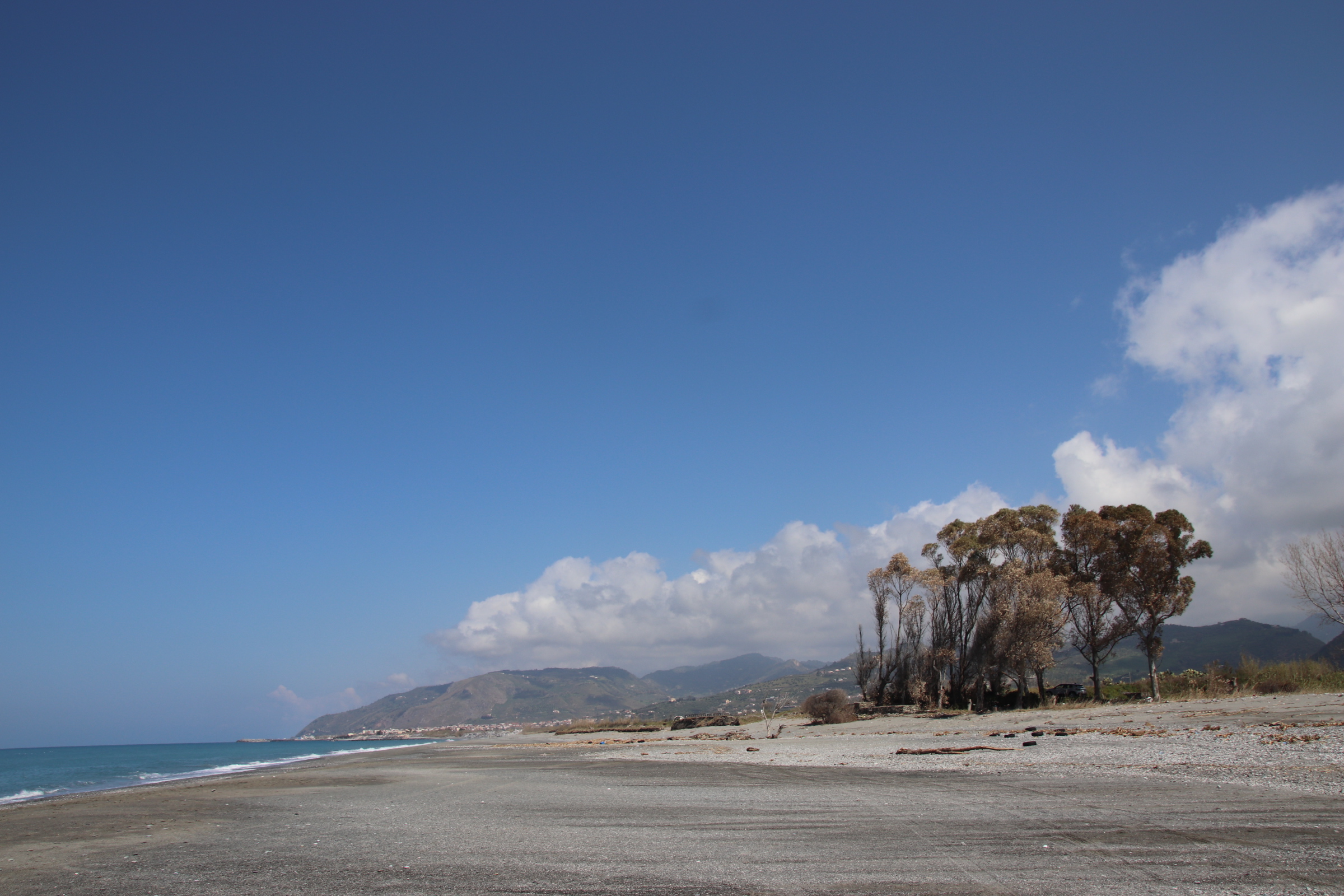
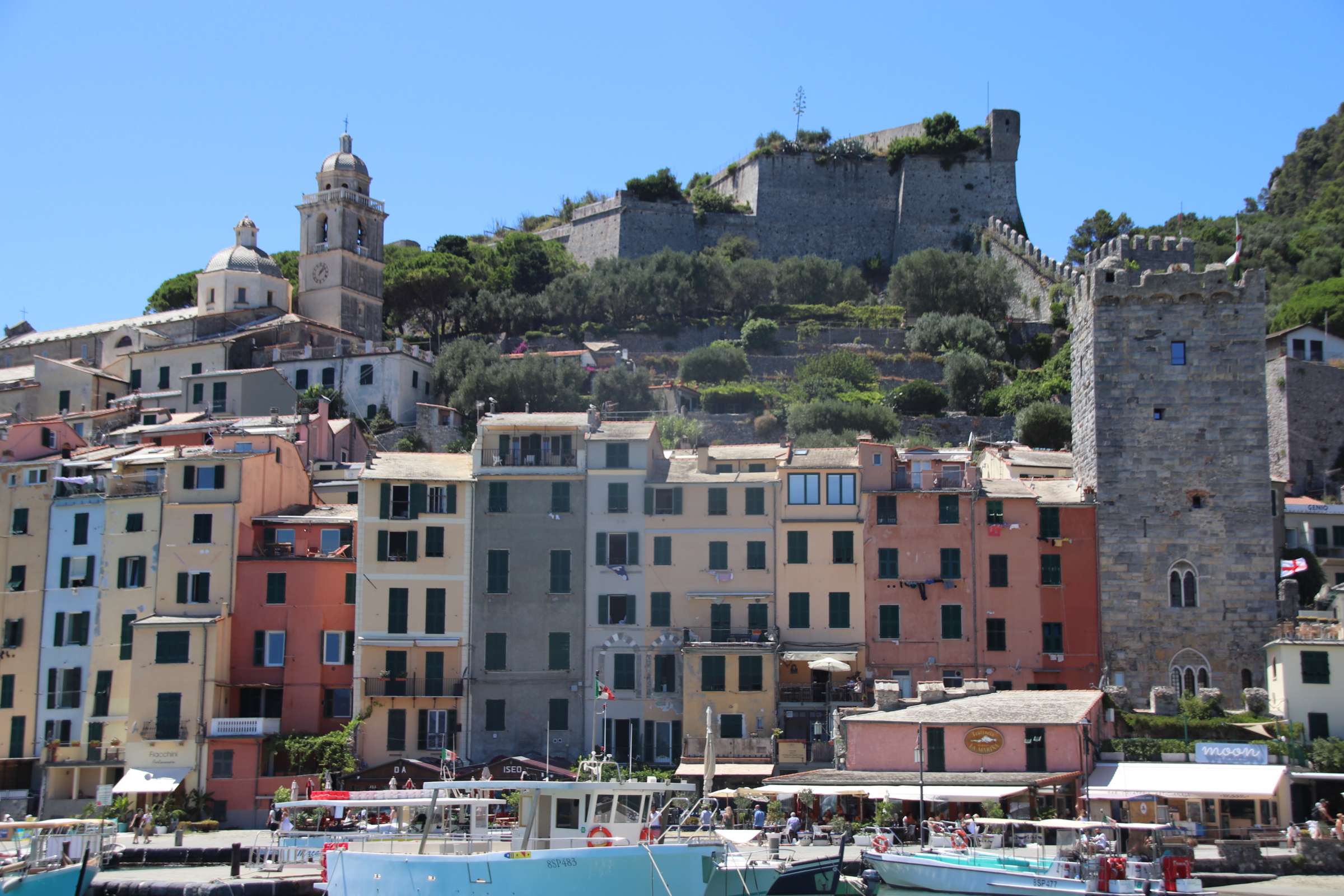
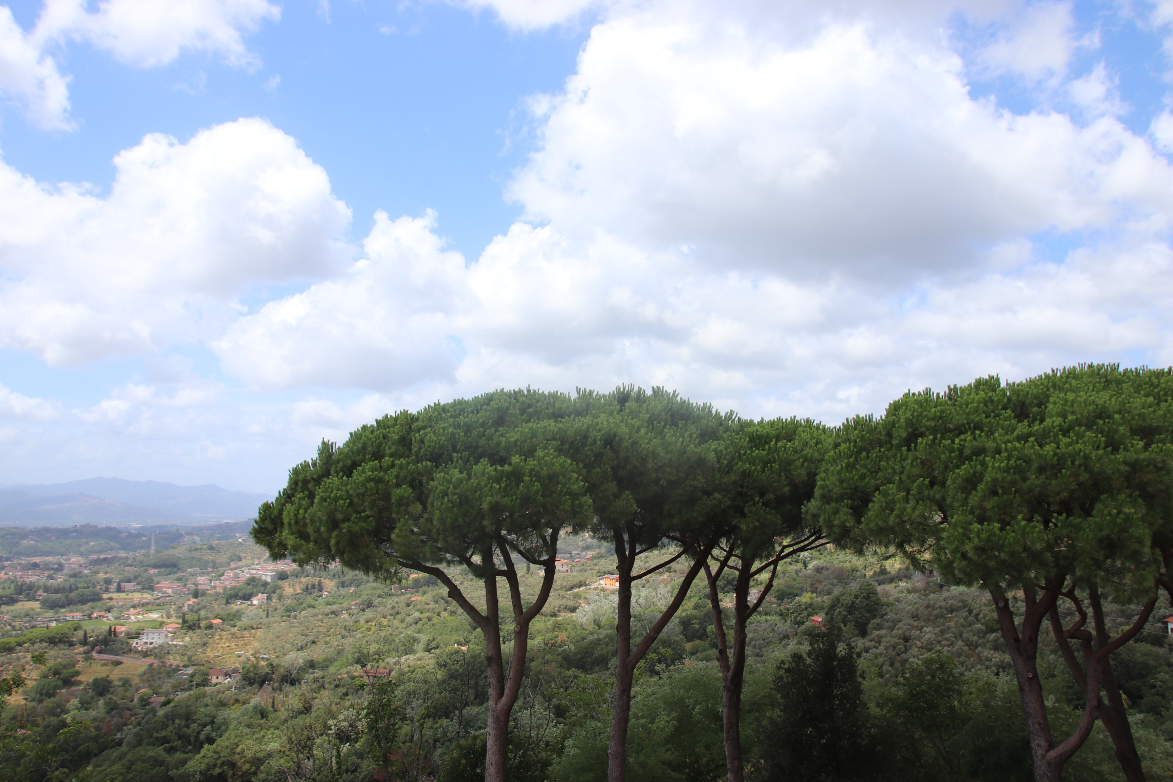
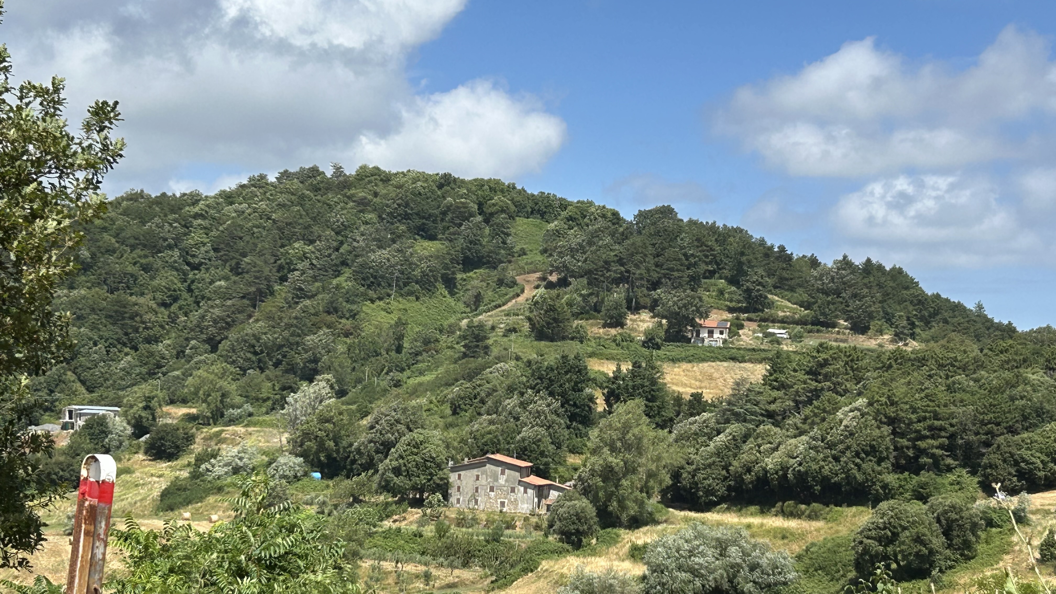
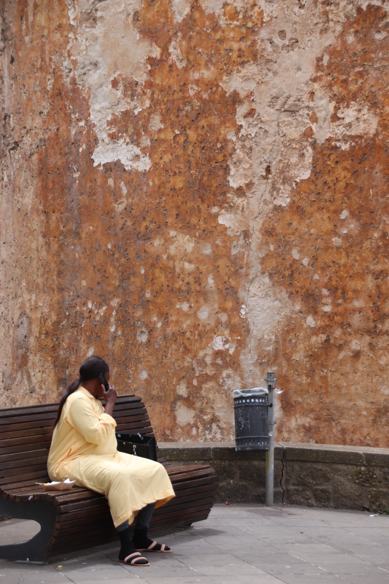
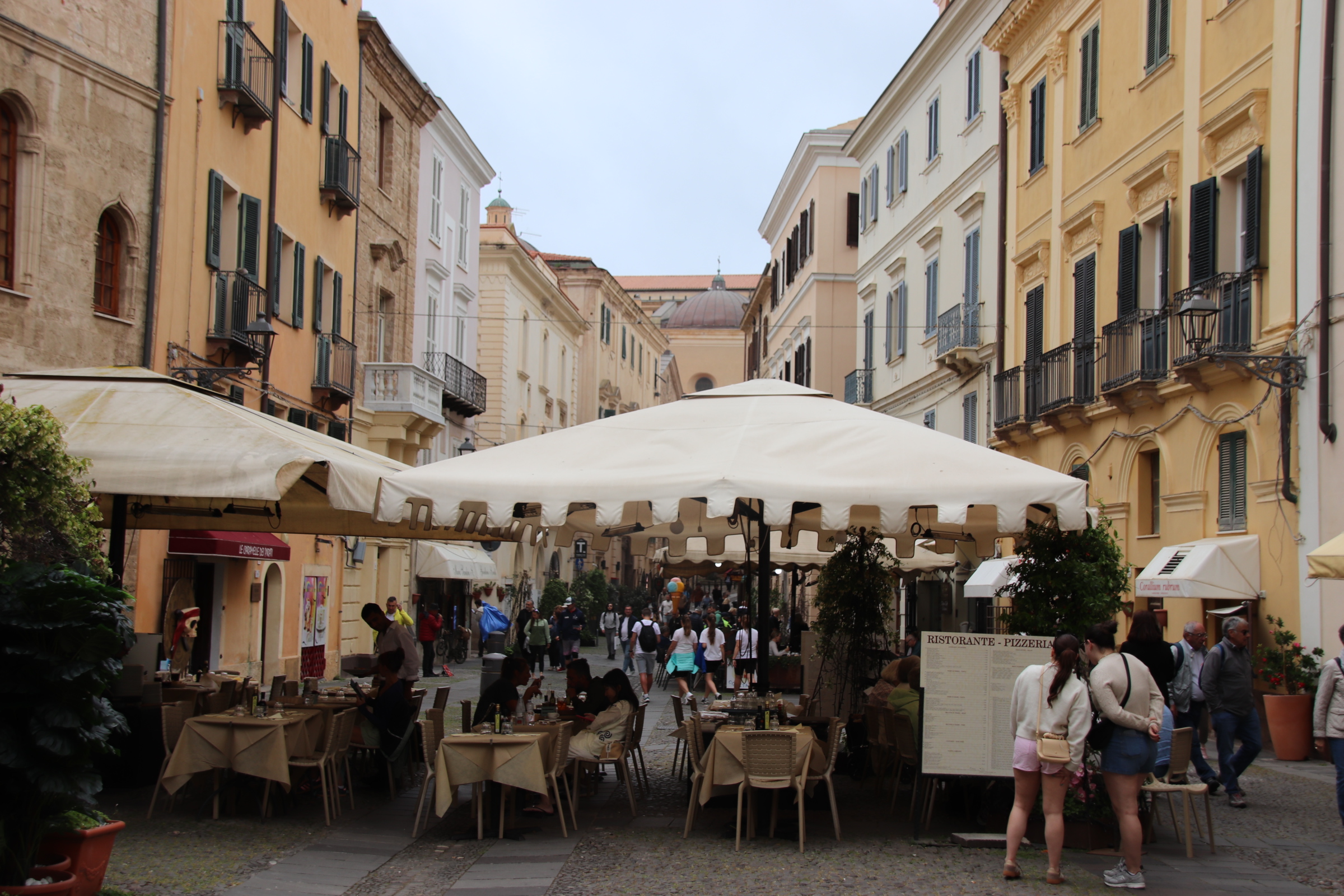
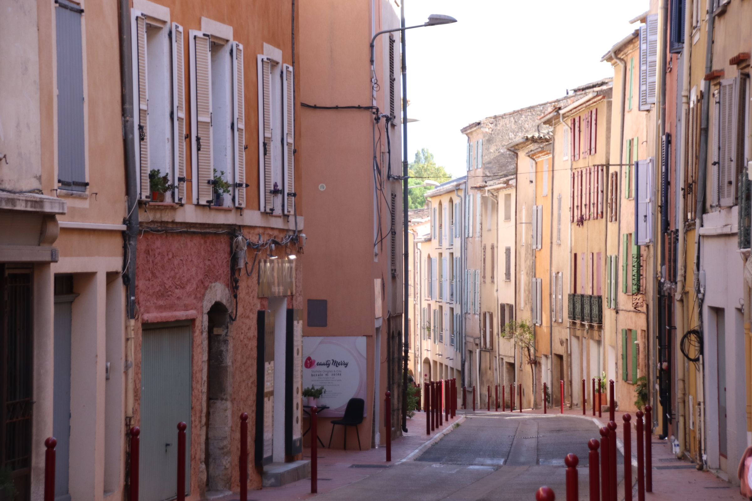
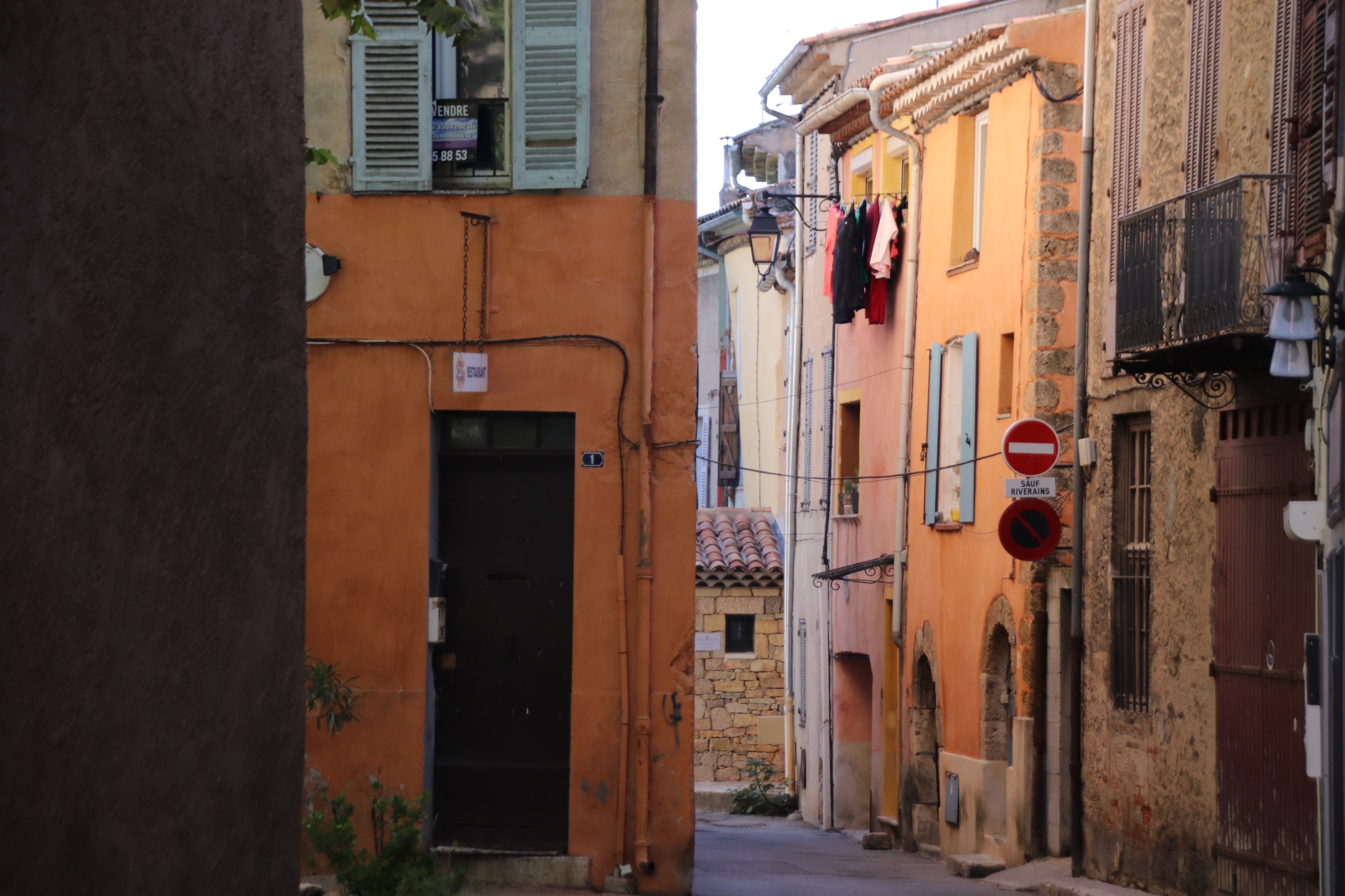
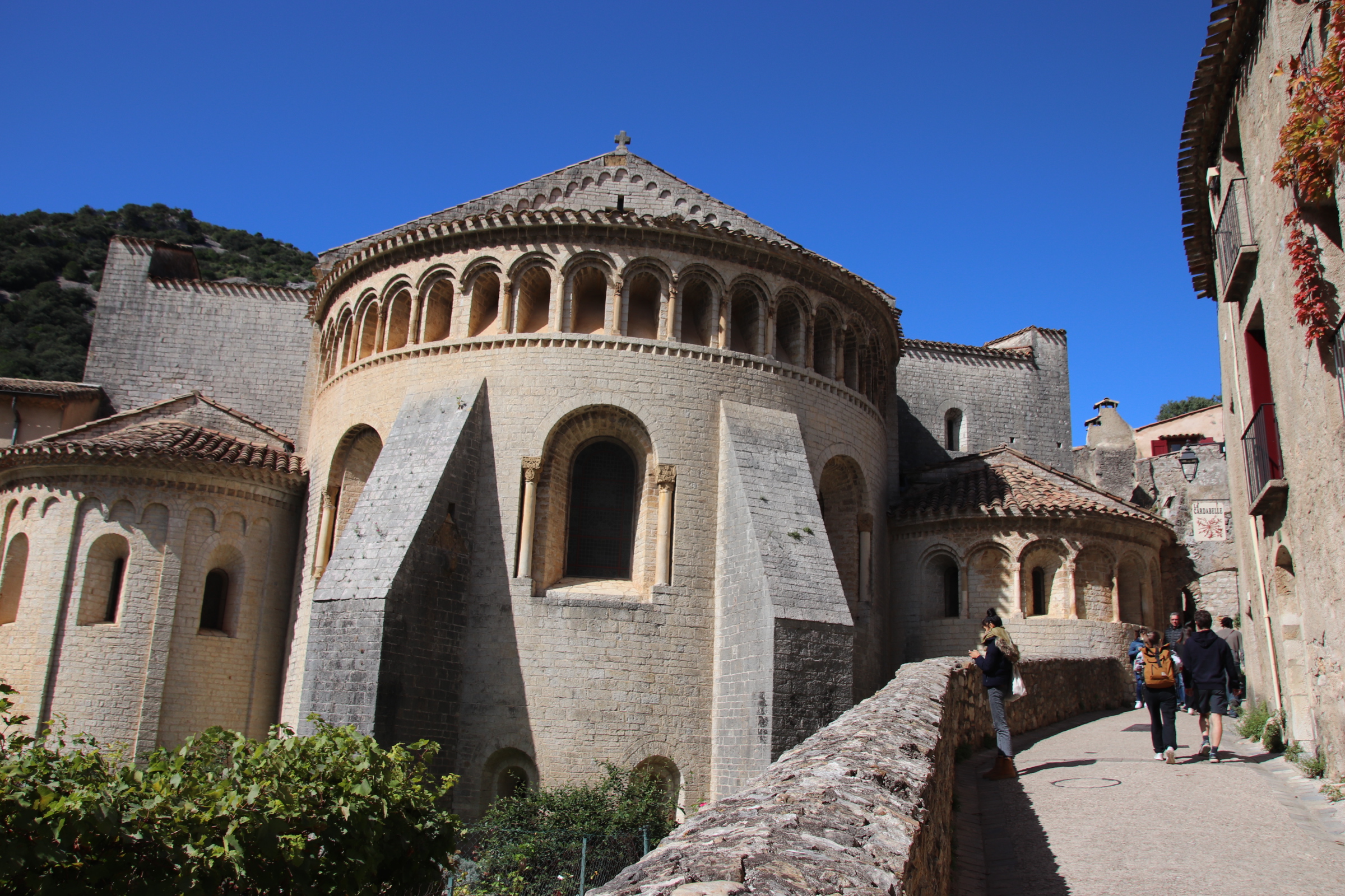
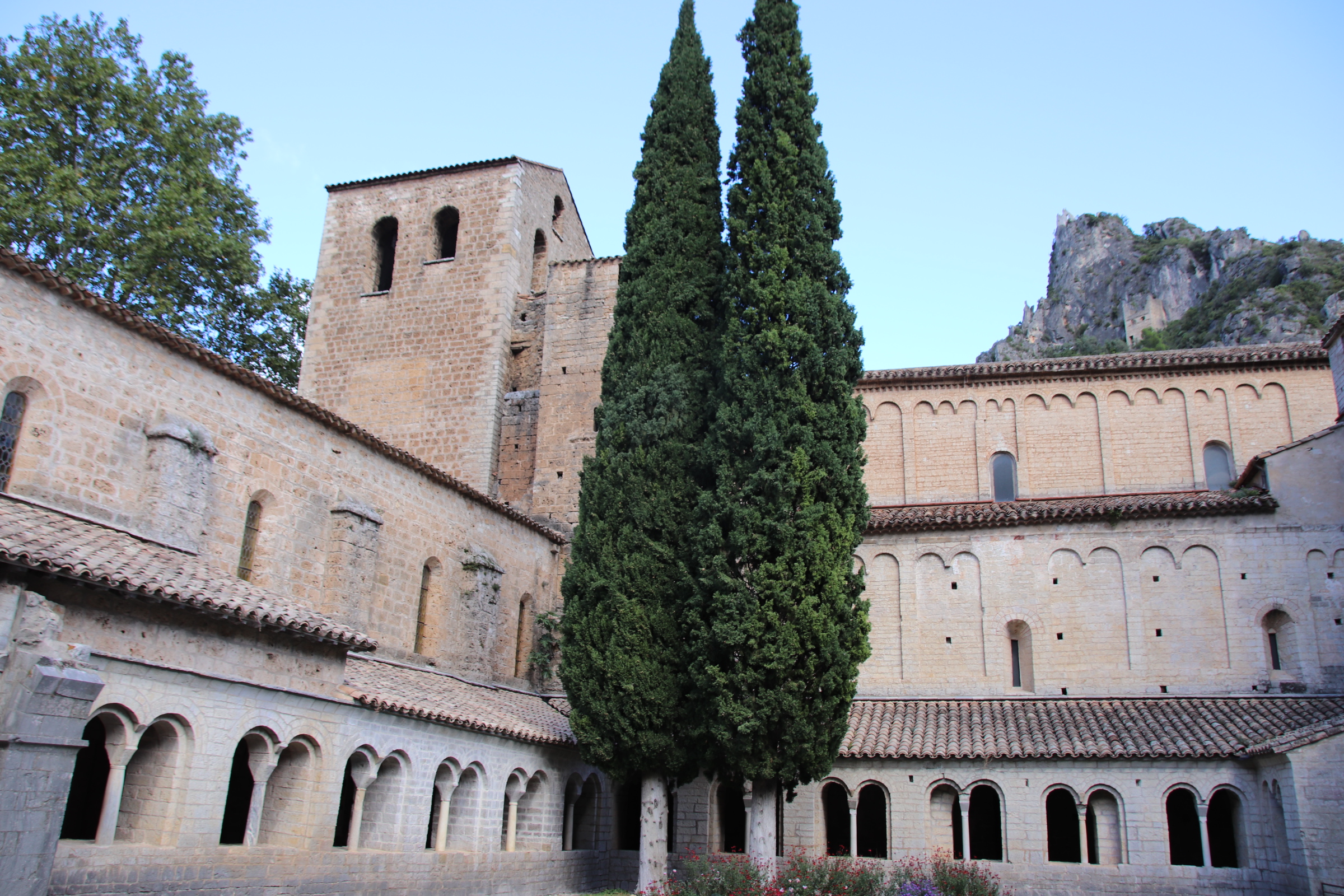
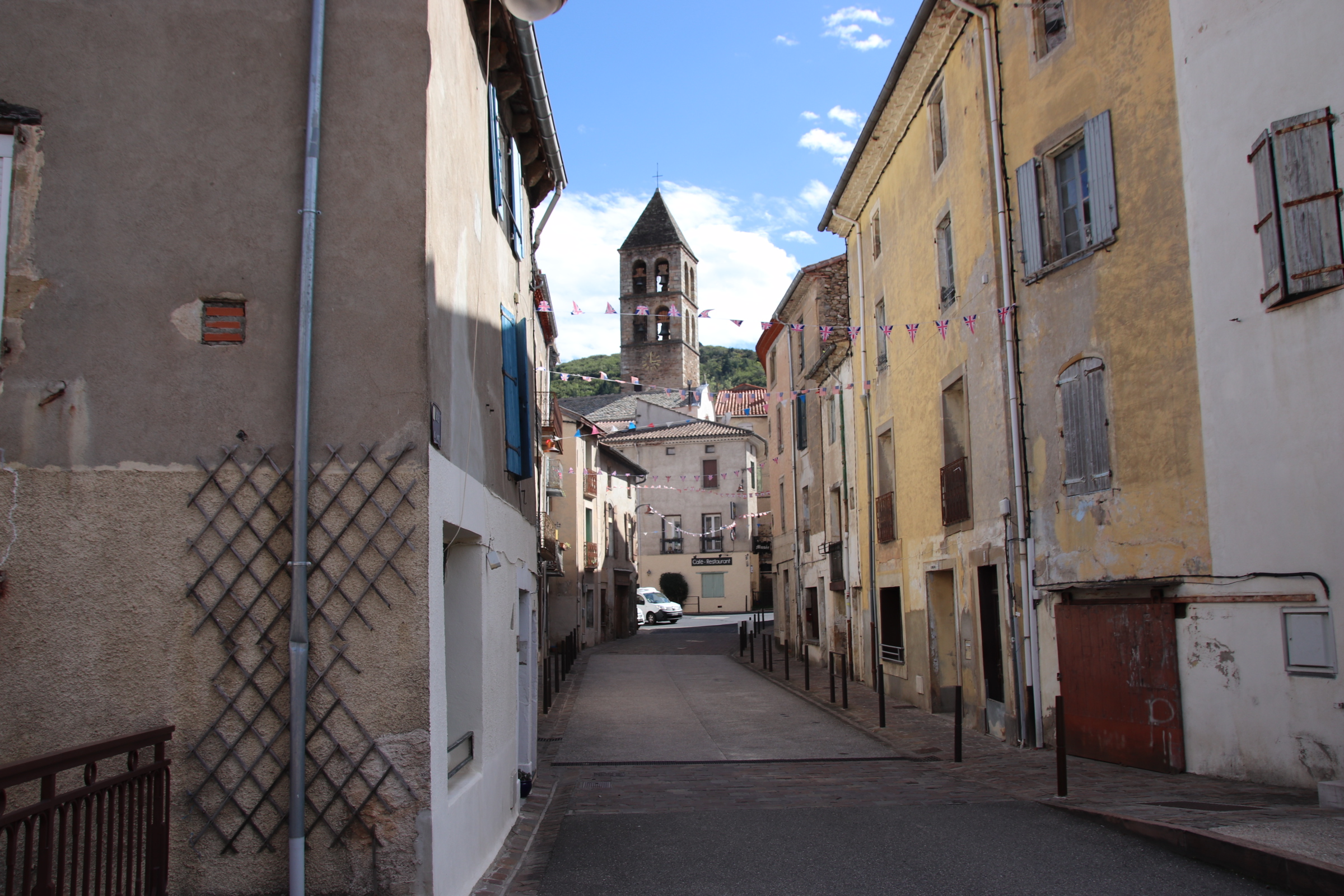
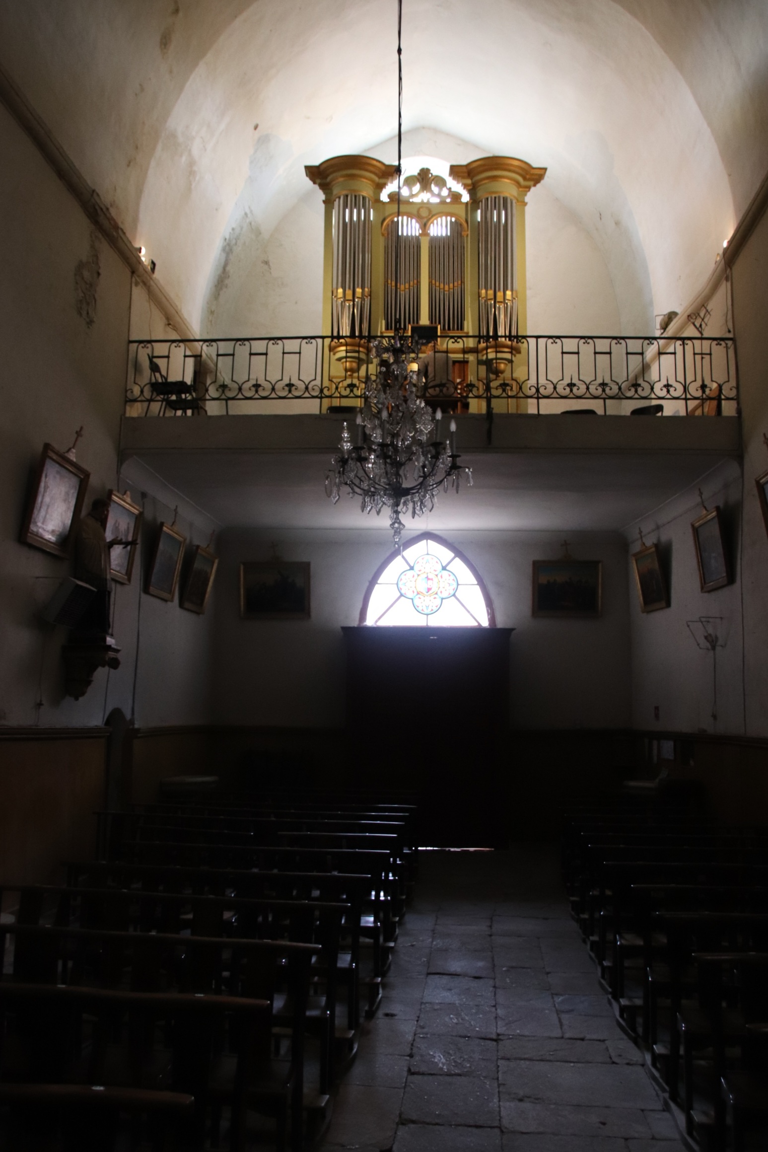
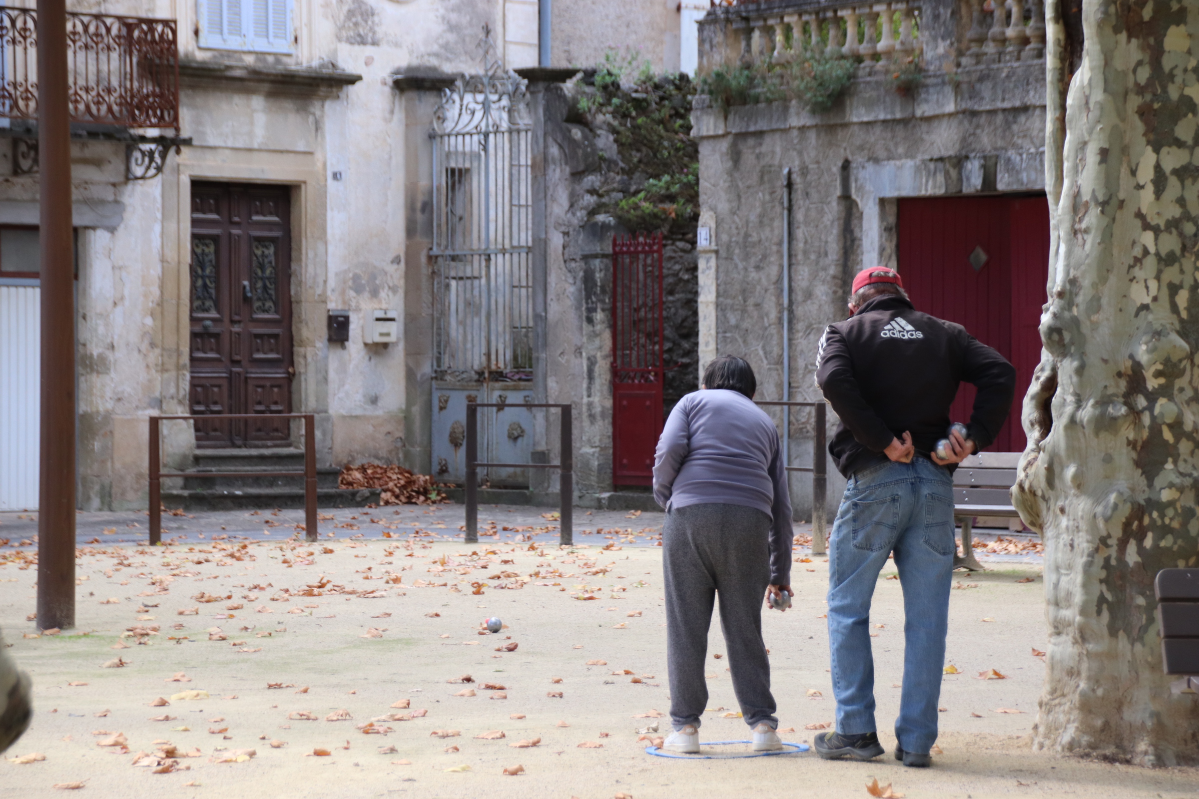
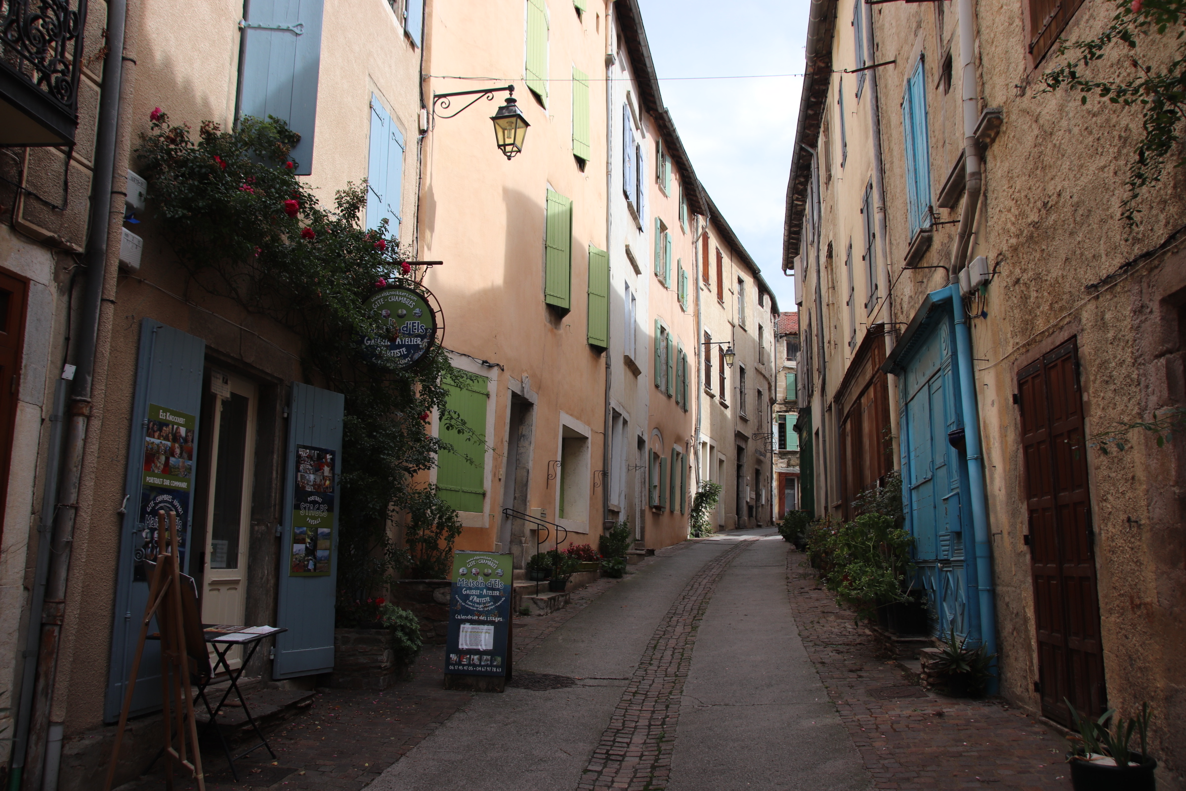
I have waxed poetic about Ambruzzo’s wonderful scenery over the past few weeks, so now I’m going to let the camera take the lead in showing off the region’s glorious landscapes. Just to say that this short circular route of 47 km provides a kaleidoscope of shape & pattern & colour with every bend twisting the tube to reveal a new arrangement of land & uses. The drive is further enhanced by numerous small settlements, on the road or in the distance, which provide interest & history to the land we’re passing through.
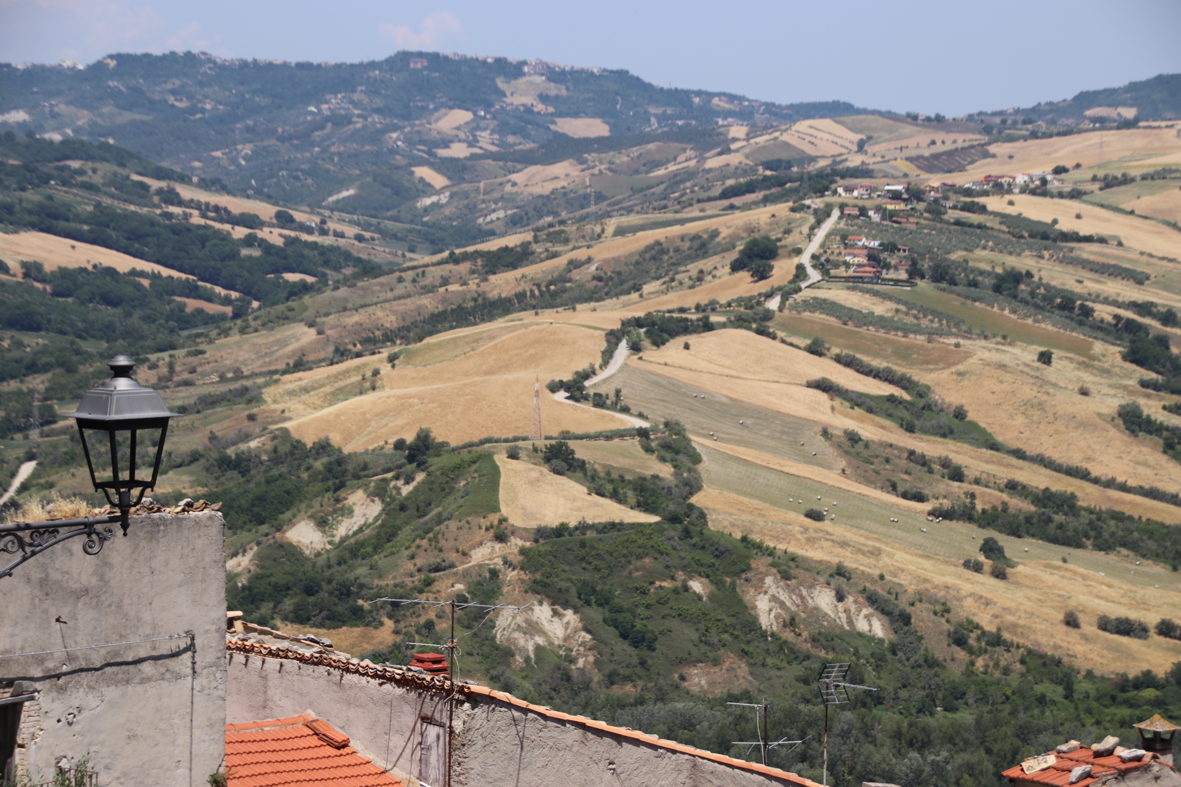
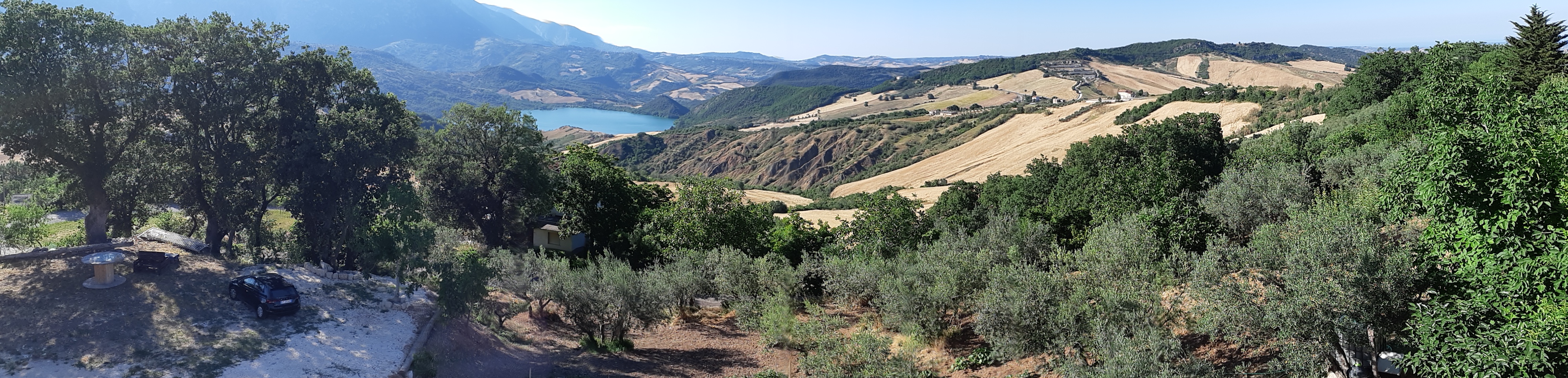
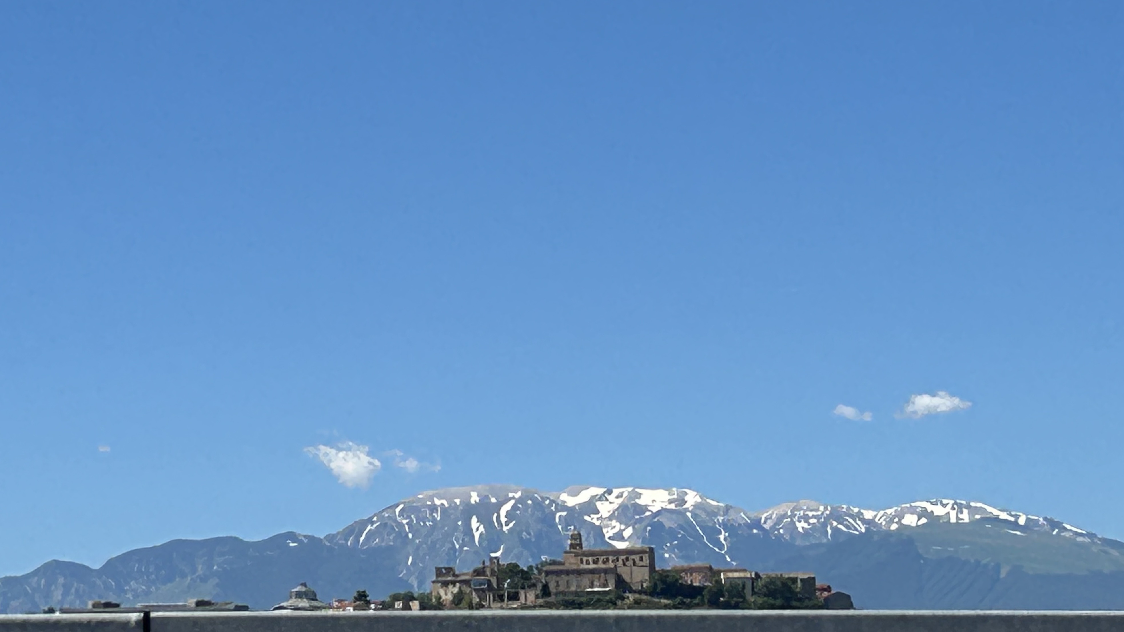
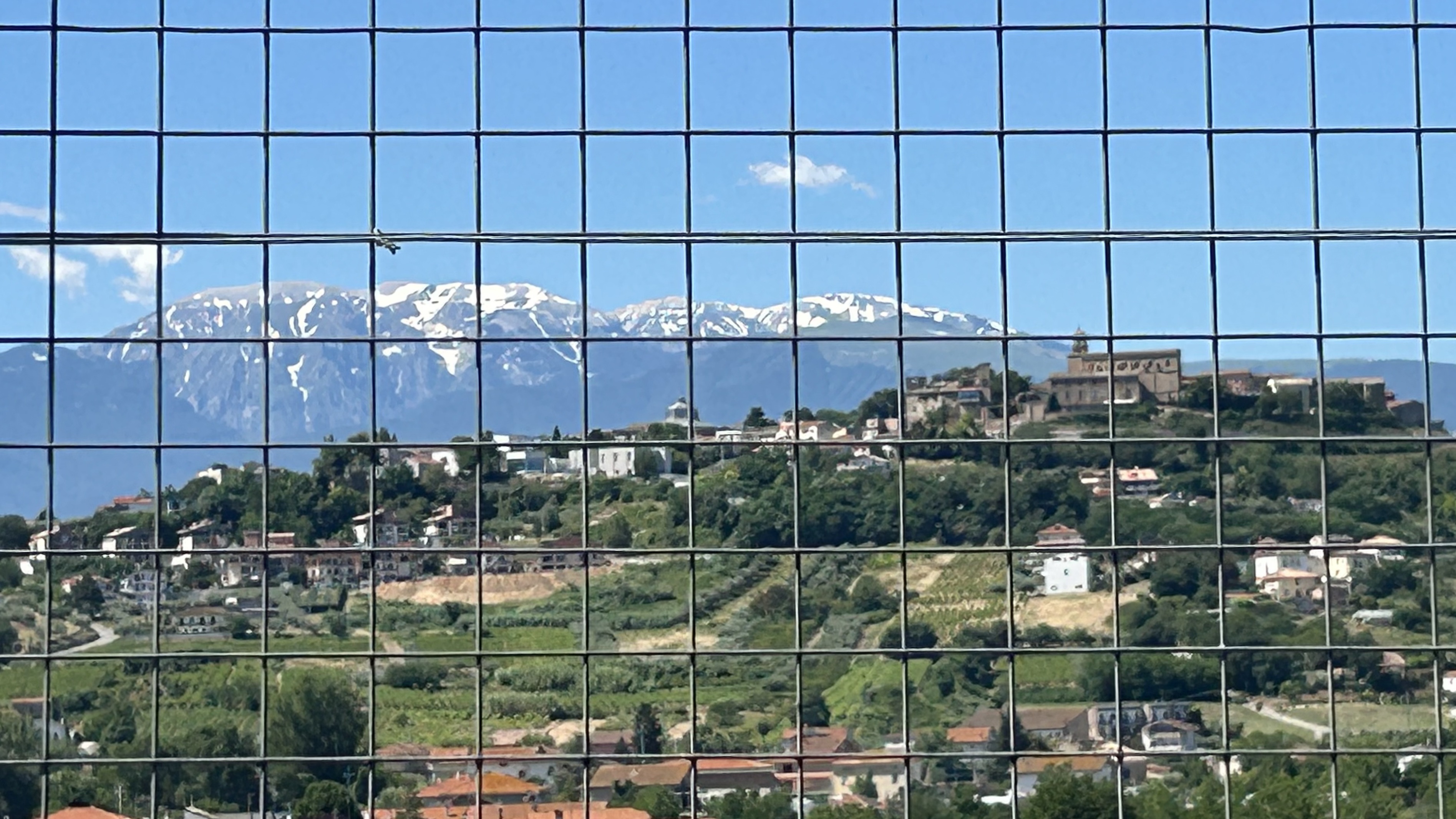
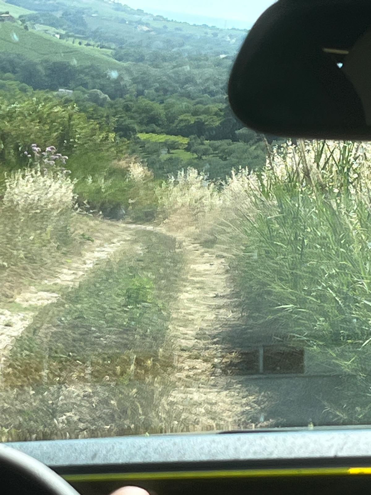
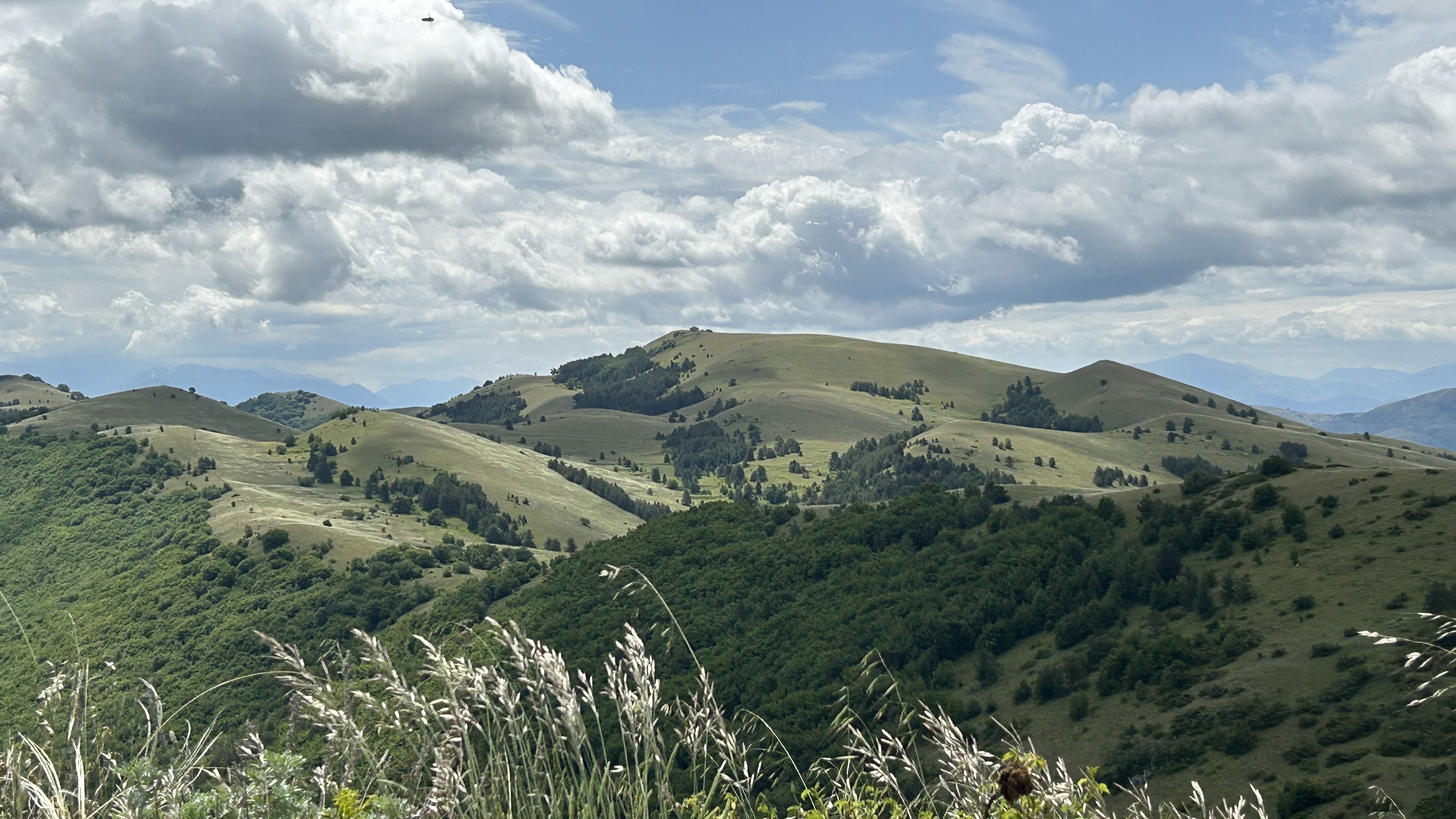
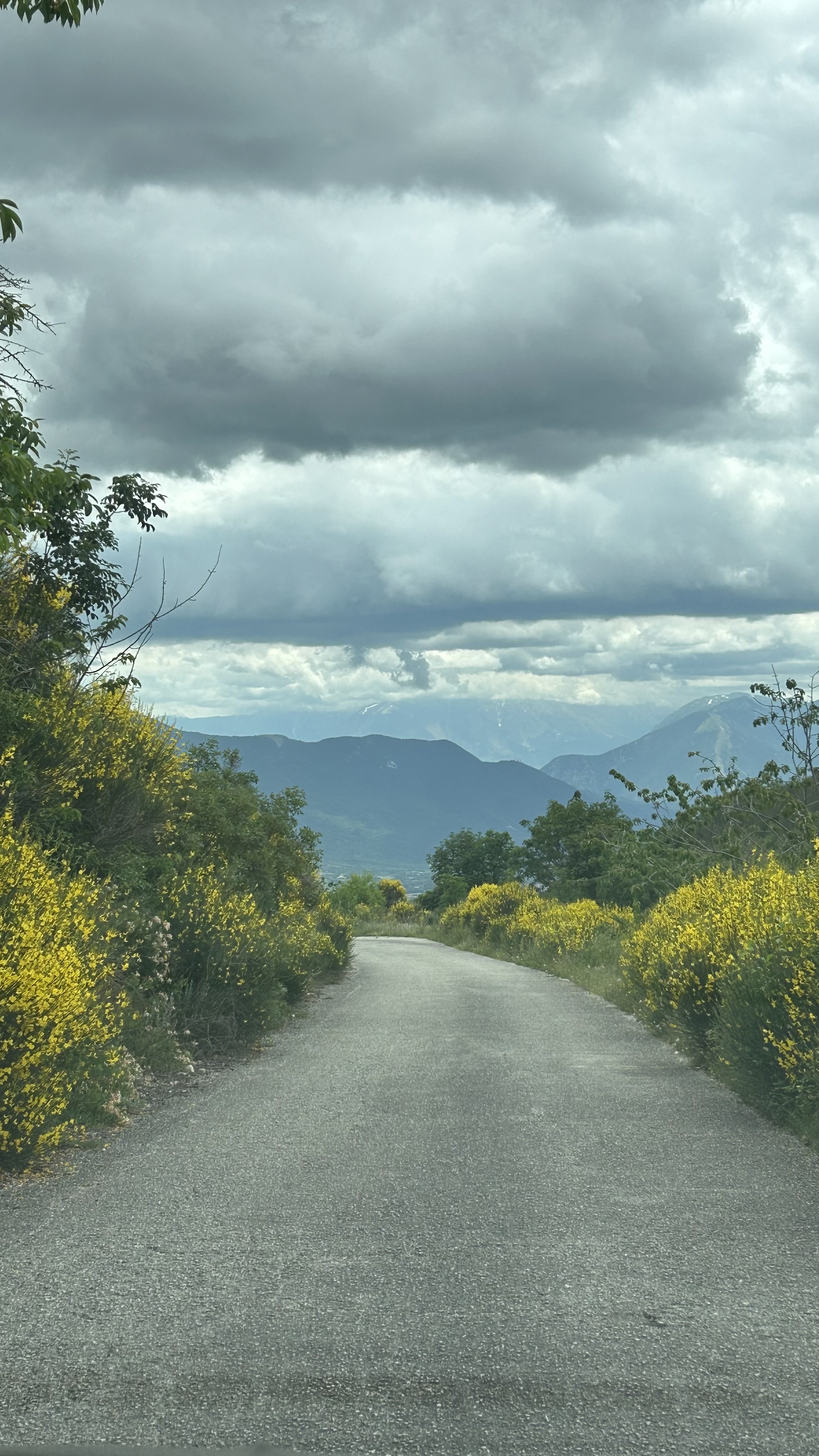
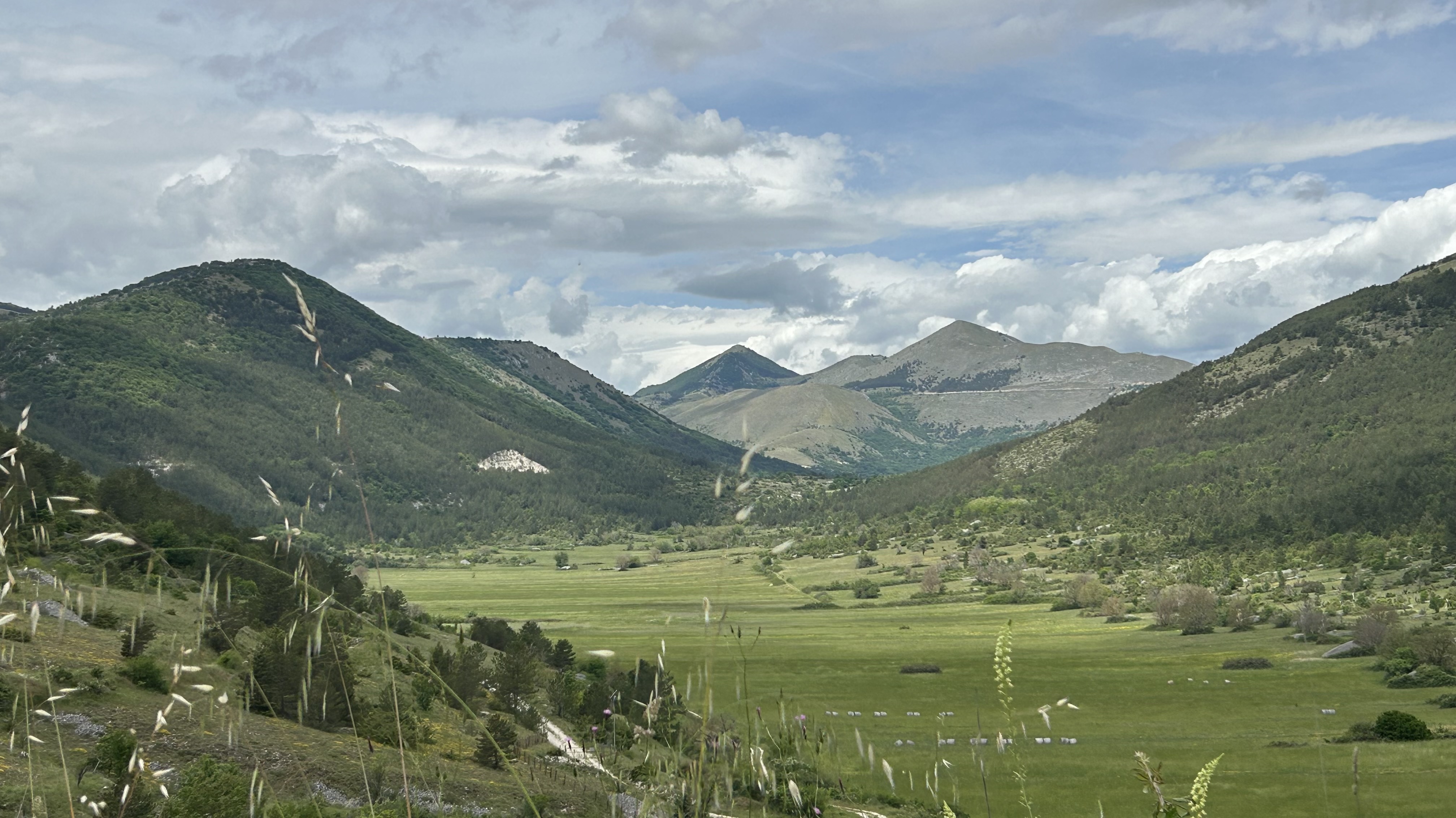
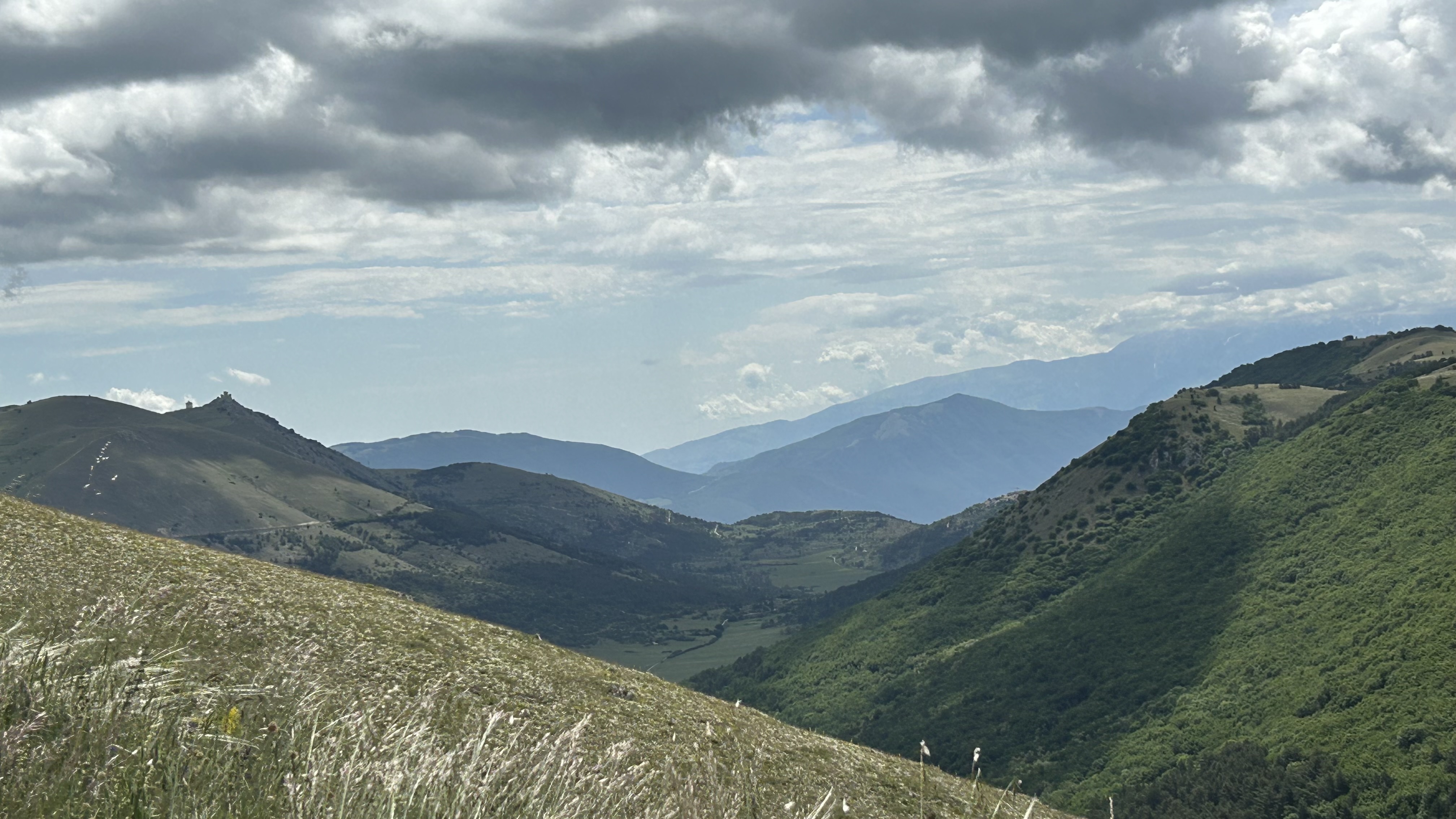
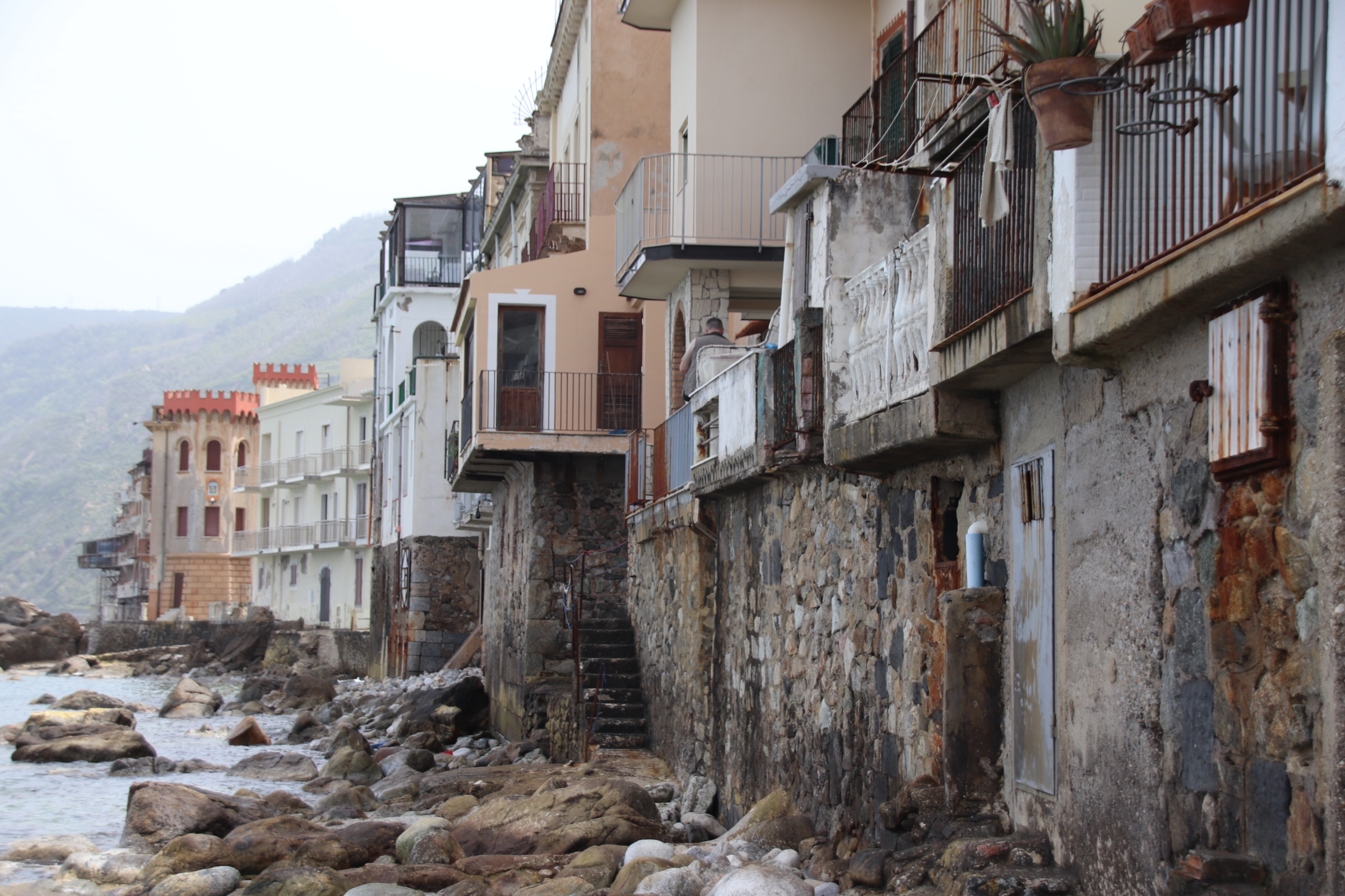
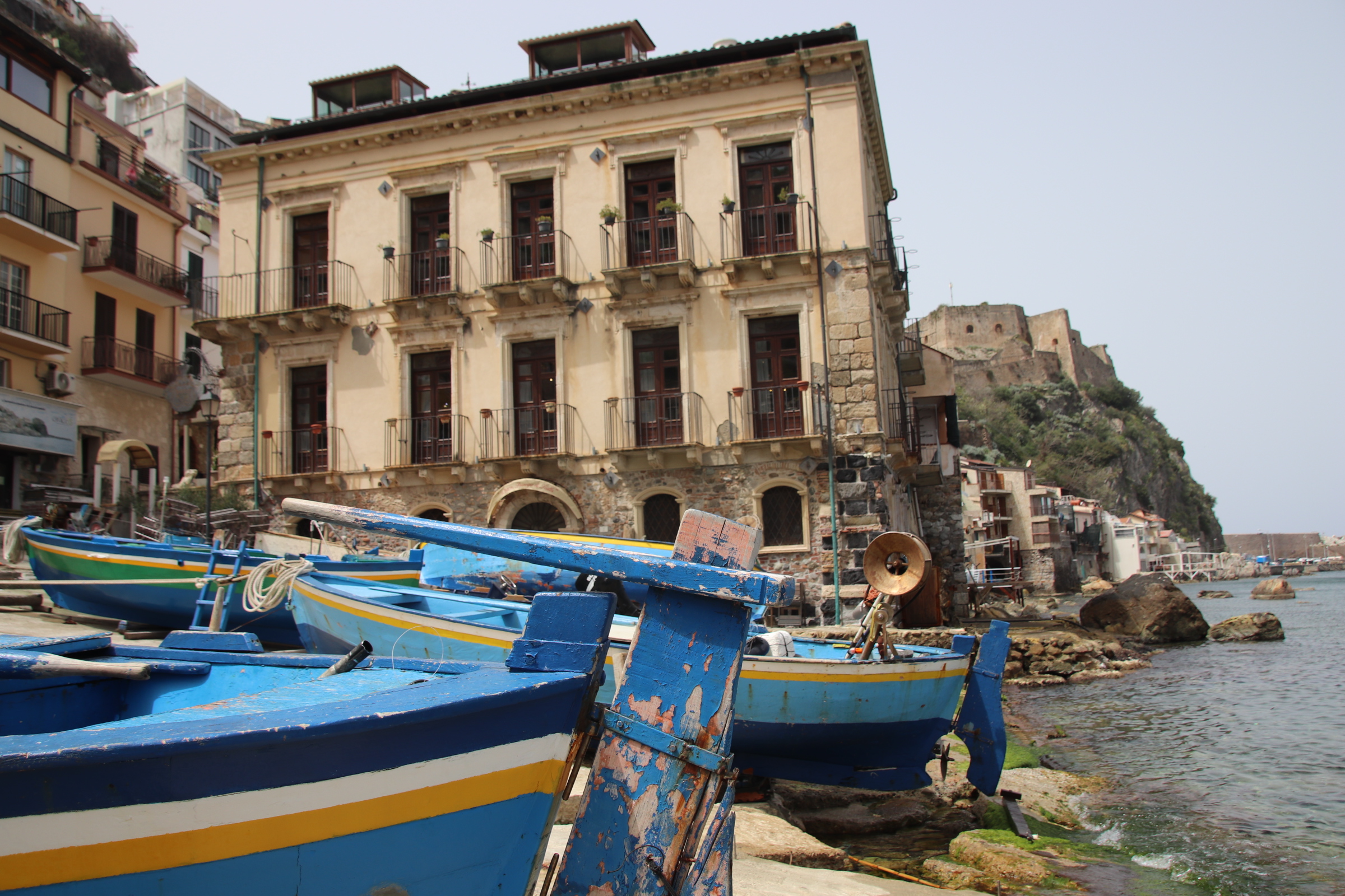
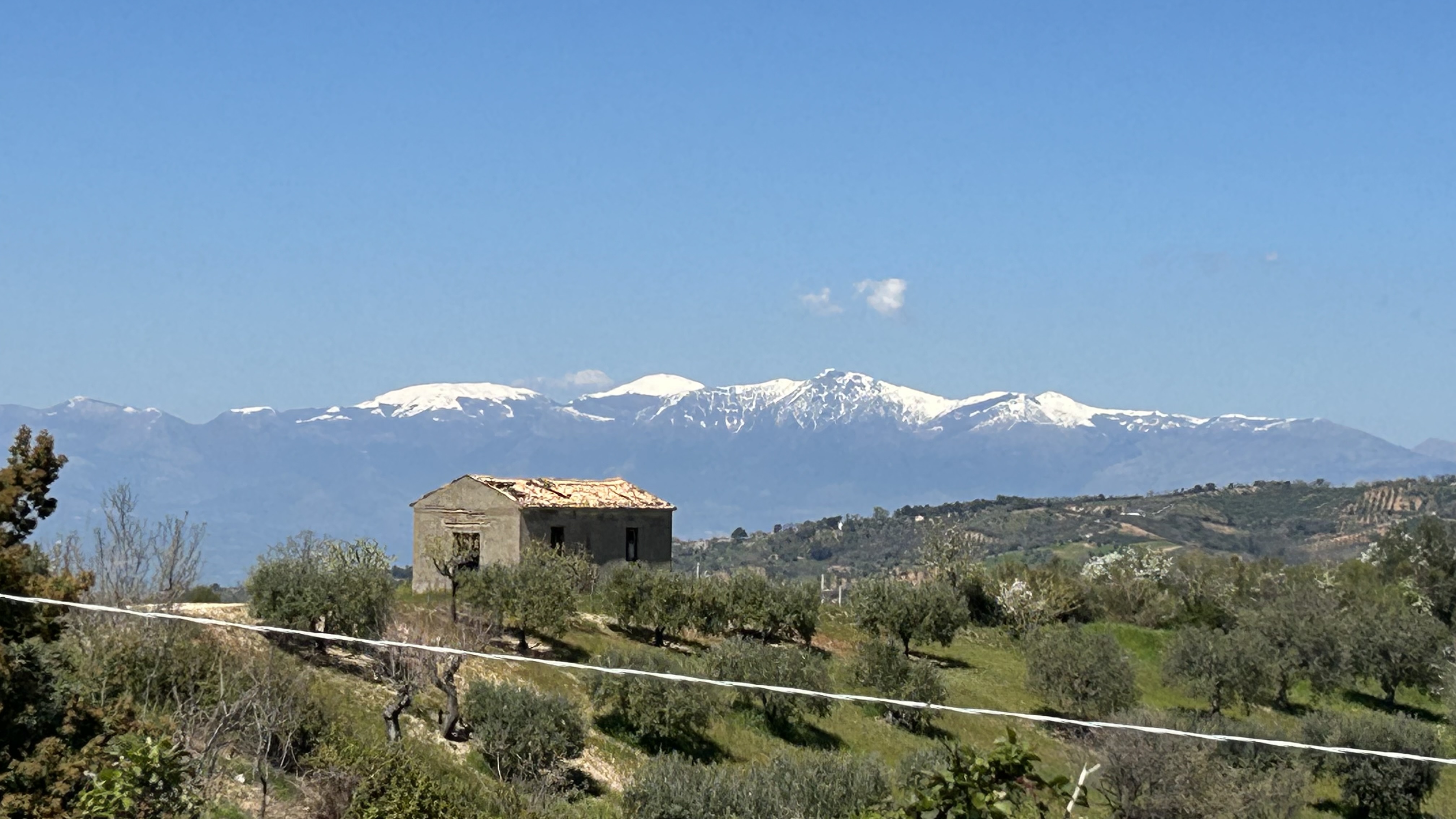
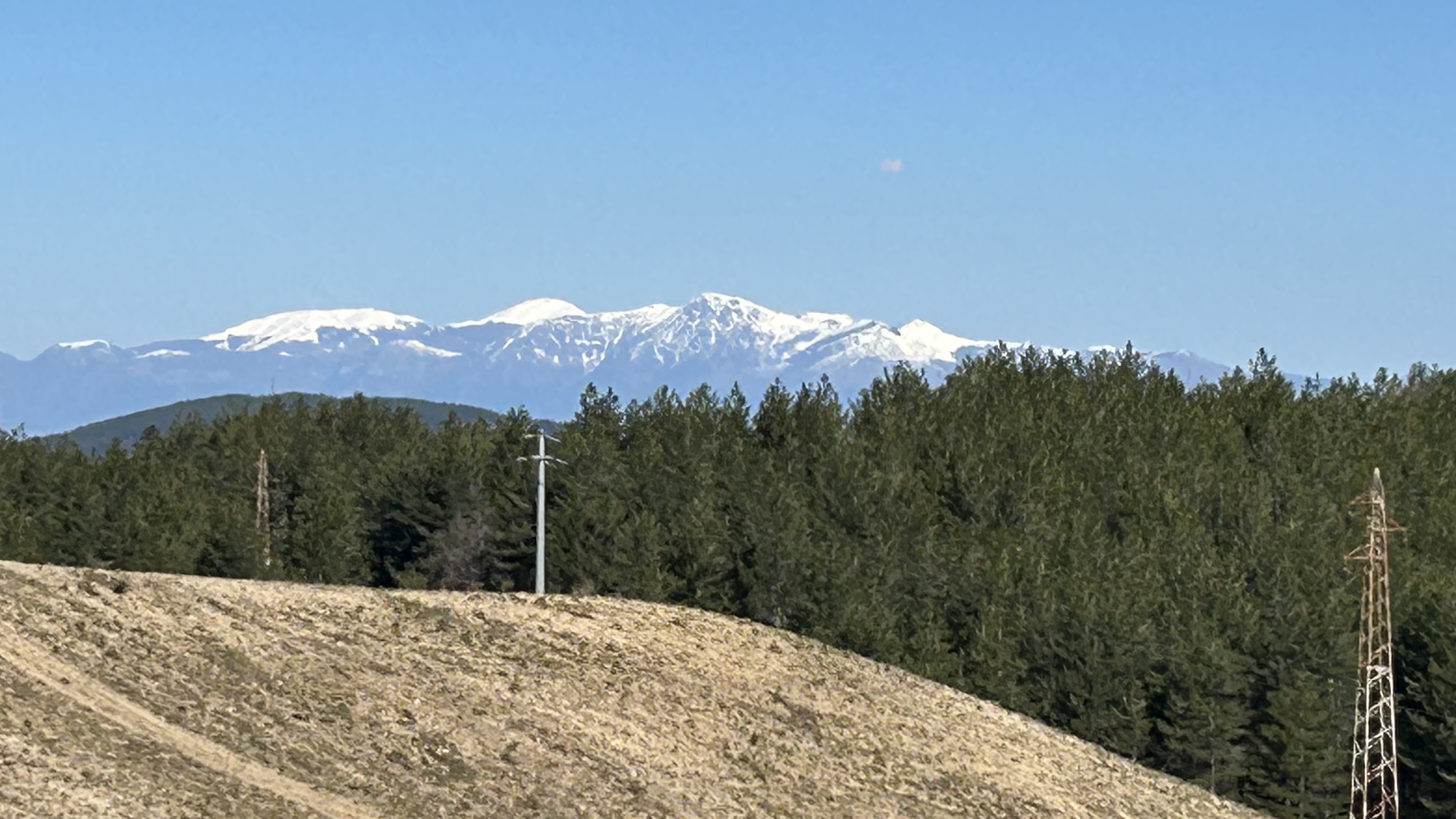
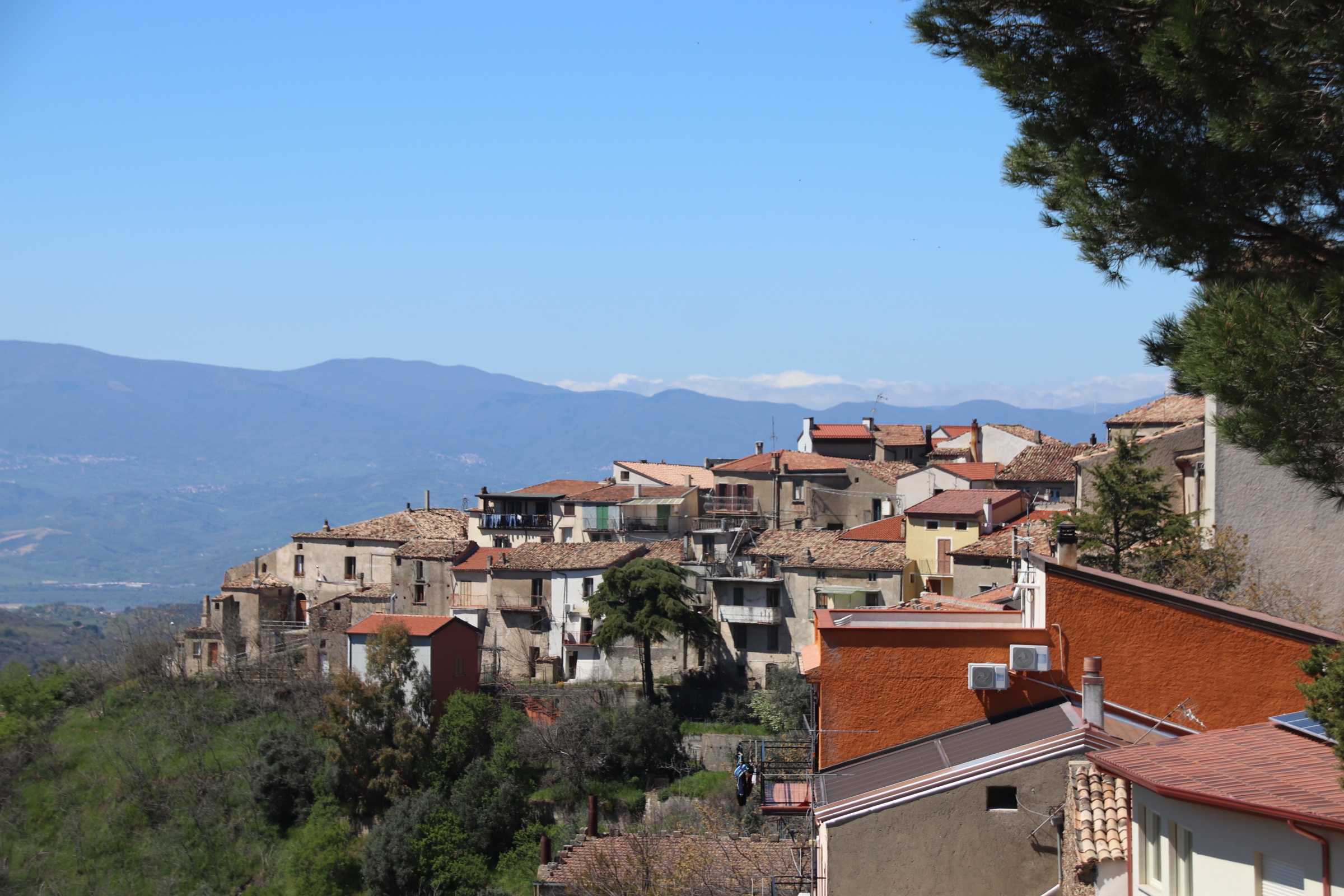
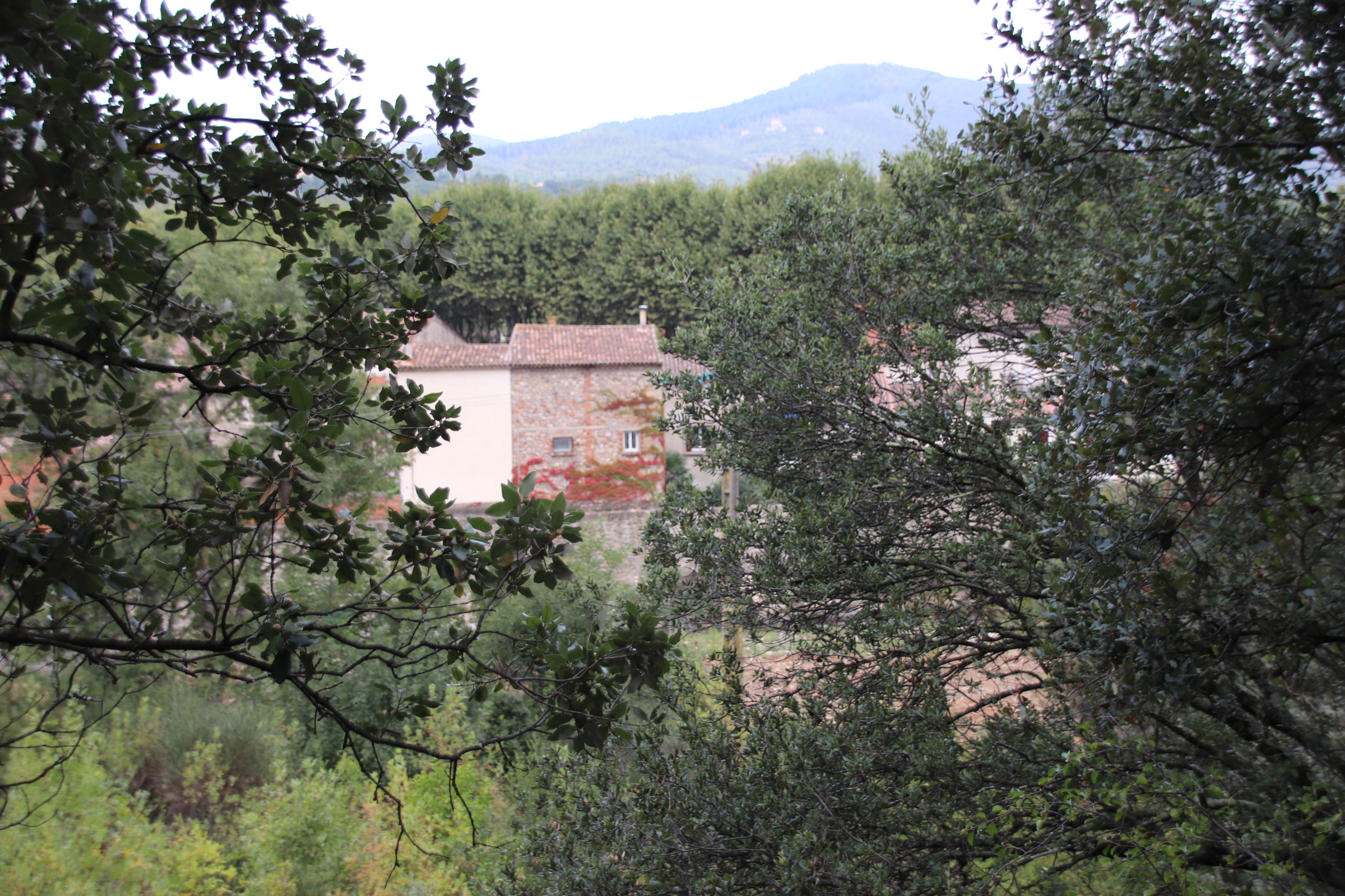
Much of the drive is on the back roads that run along the many ridges that cross this land, falling away on either side to valley bottoms & distant neighbours. Every now & then the road drops down to a settlement huddled on stream or a dried river bed, only to rise on the far, seeking safety along the top of another spine. All the time, the high peaks of the Maiella Mountains provide an angry backdrop, always threatening but never delivering until it gives up, exhausted, & returns us to the heat of another day.
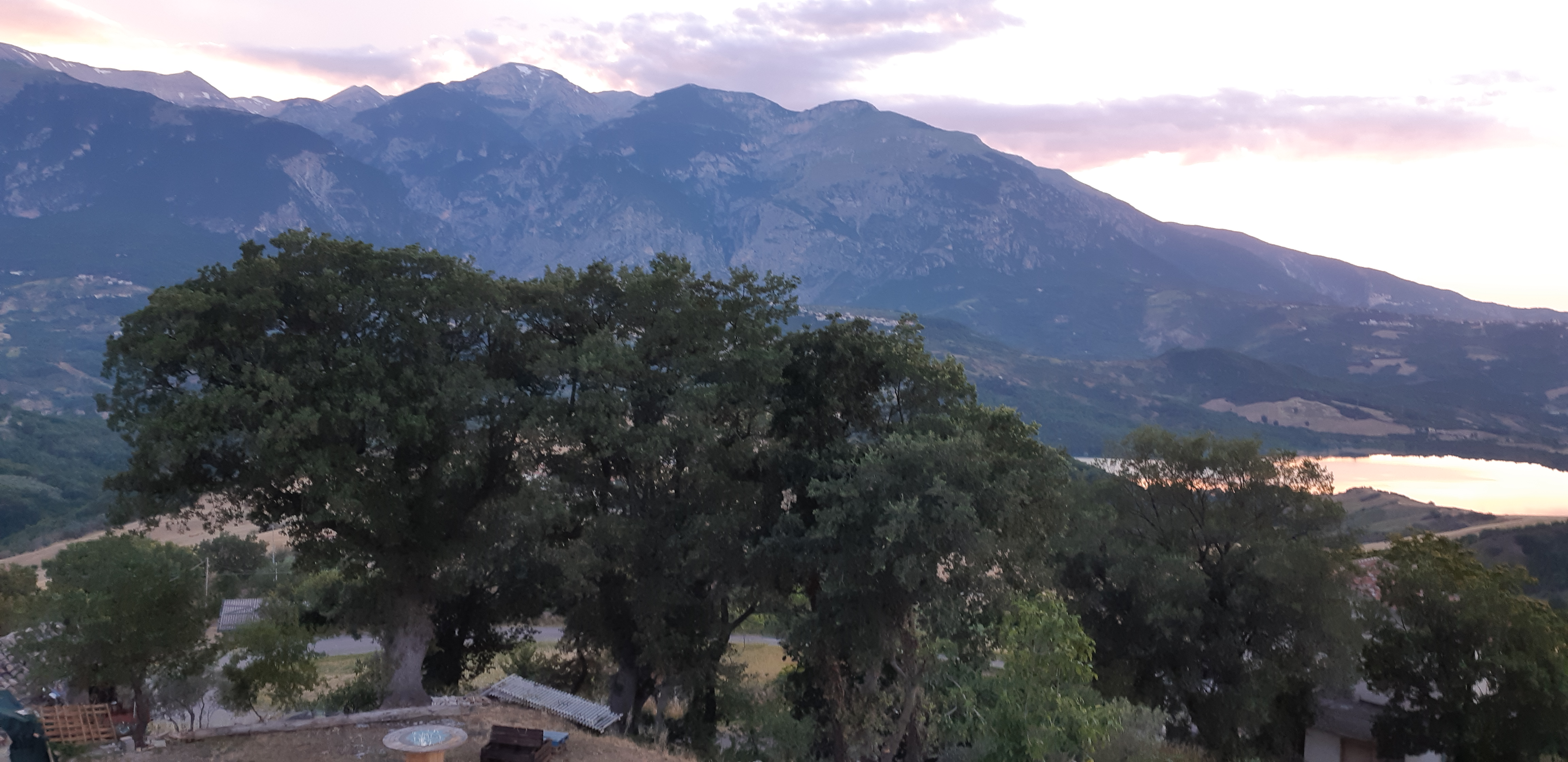
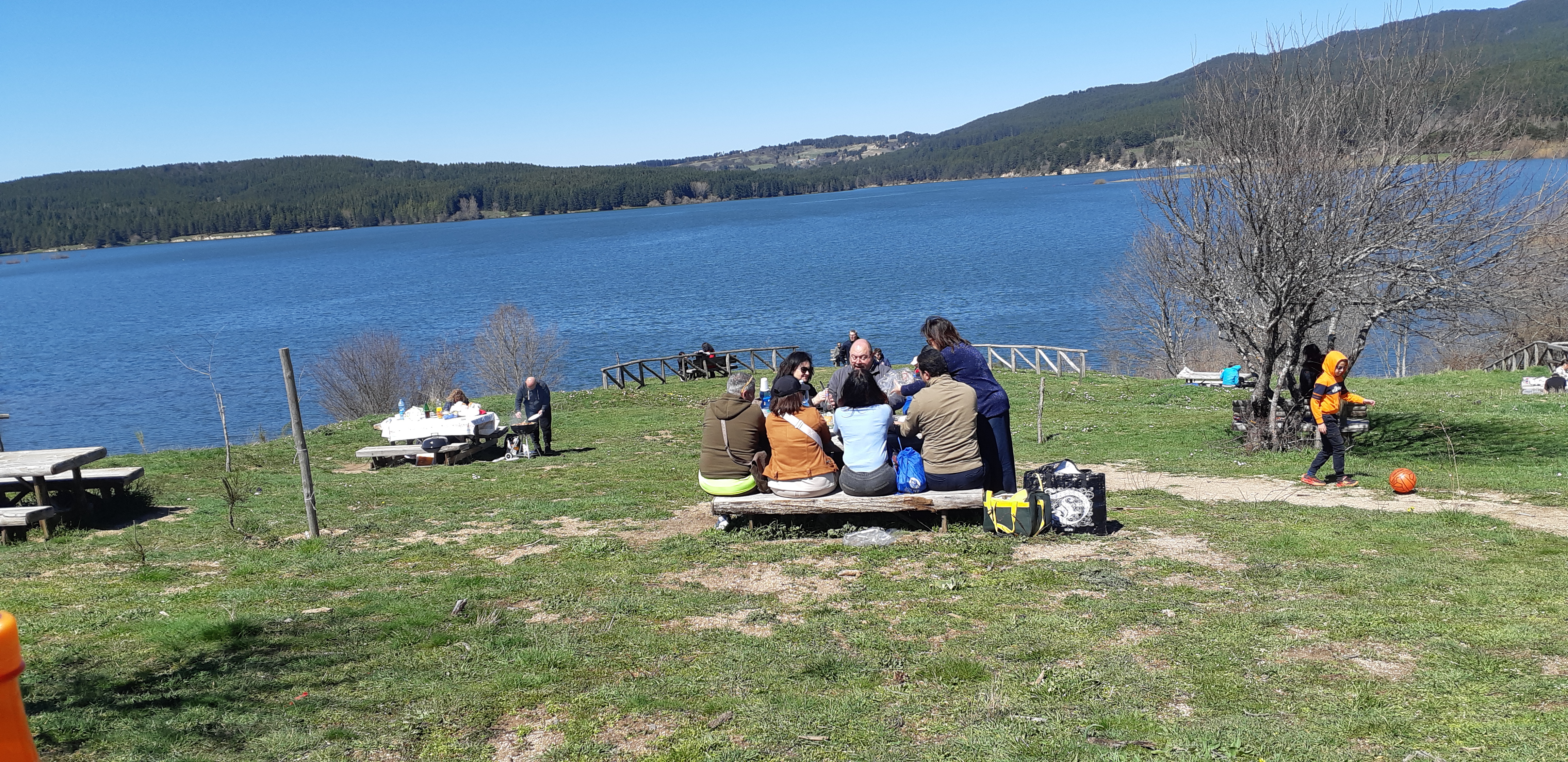
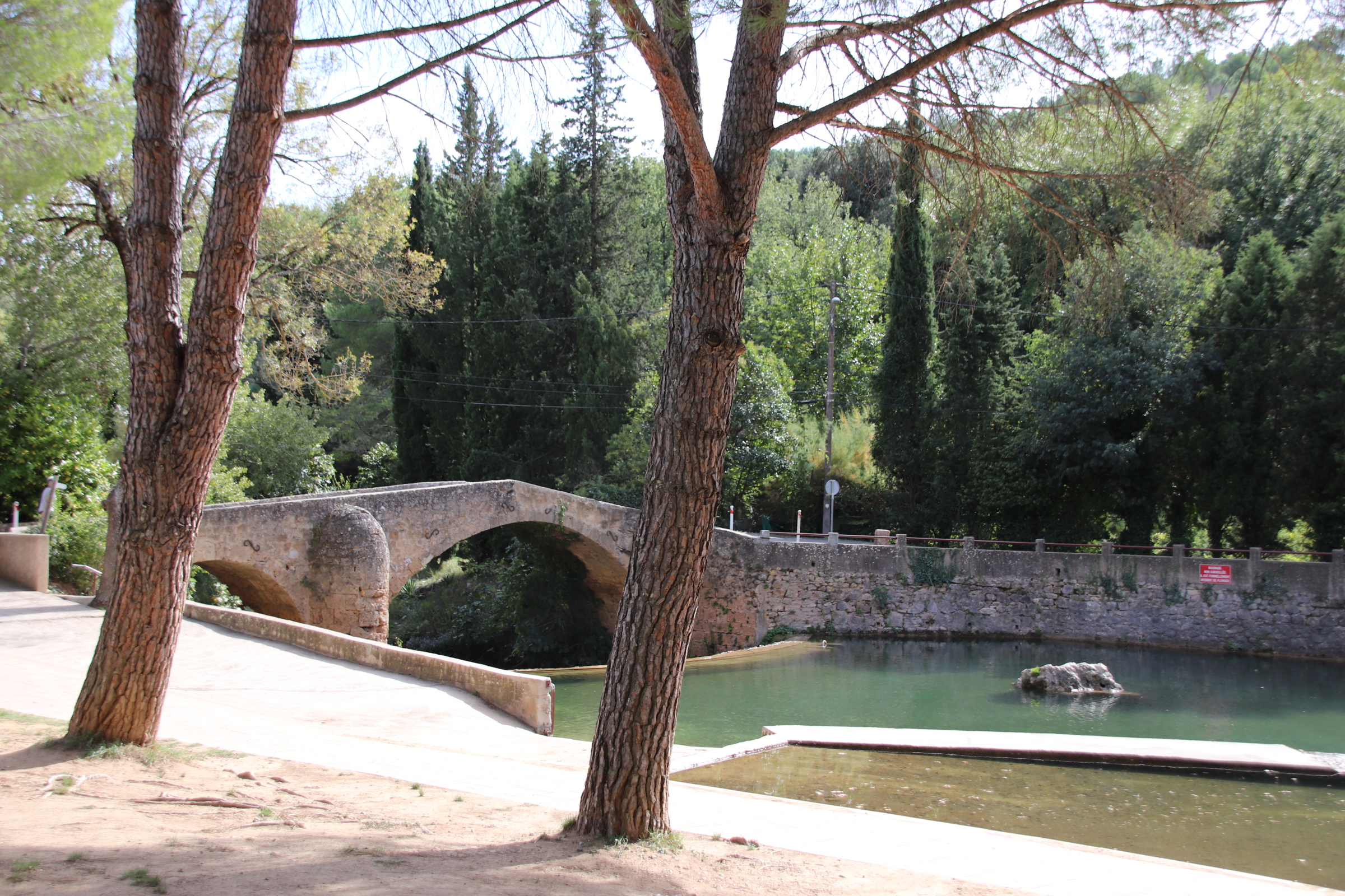
Our journey starts, & ends, at the small hamlet of Macchie. A couple of houses & a bus stop look down on Lake Casoli, the mountains tower behind.
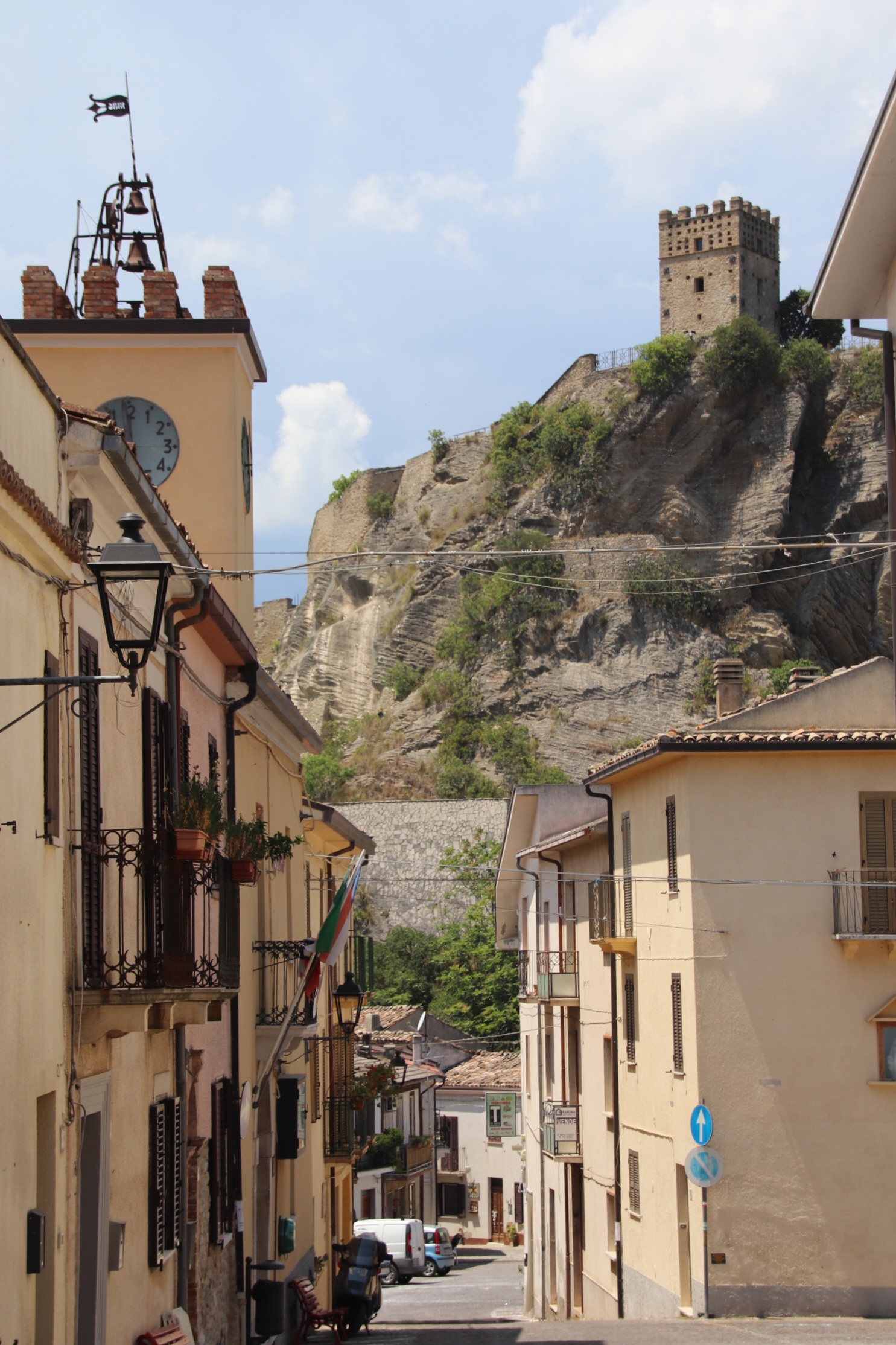
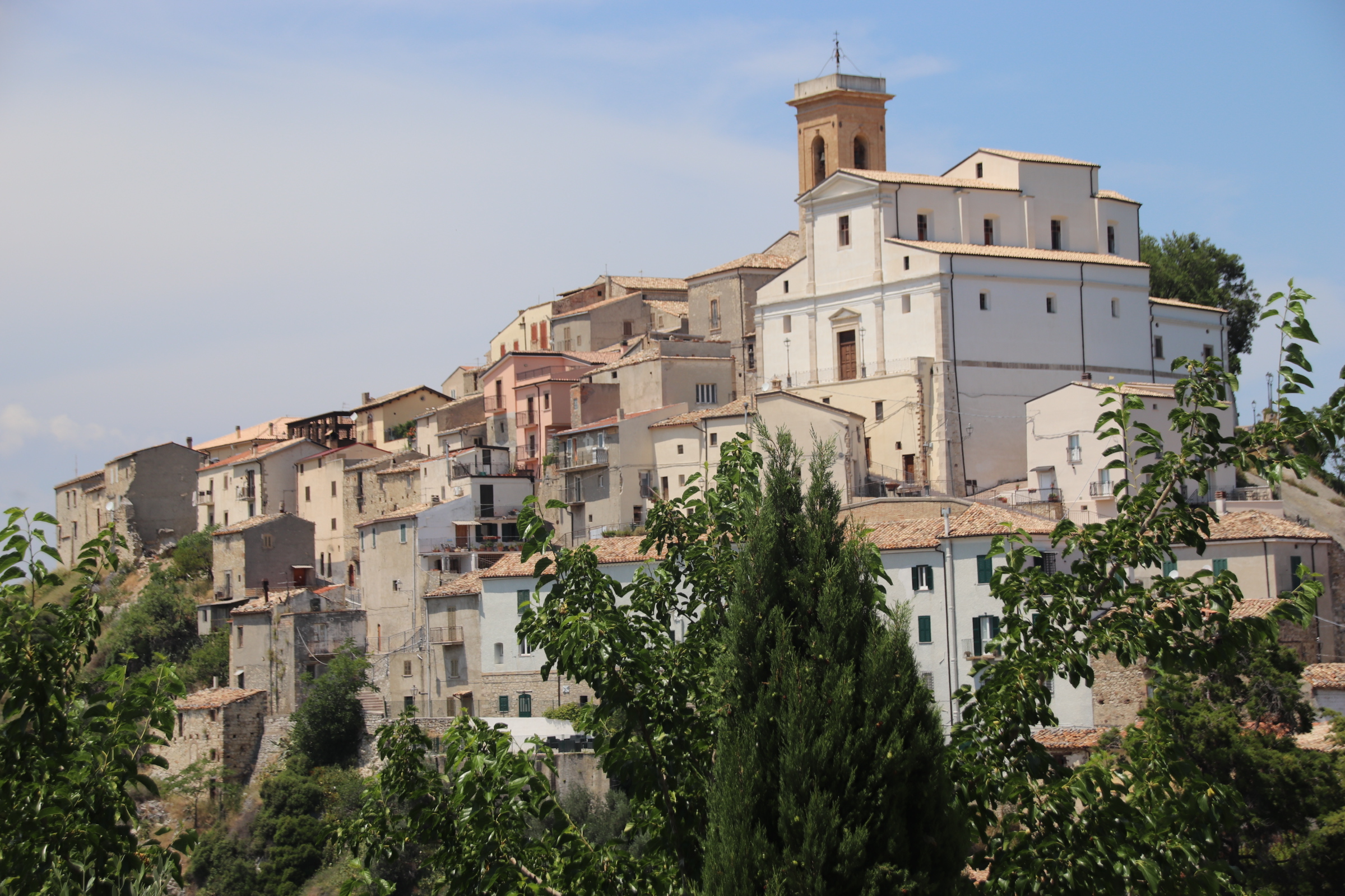
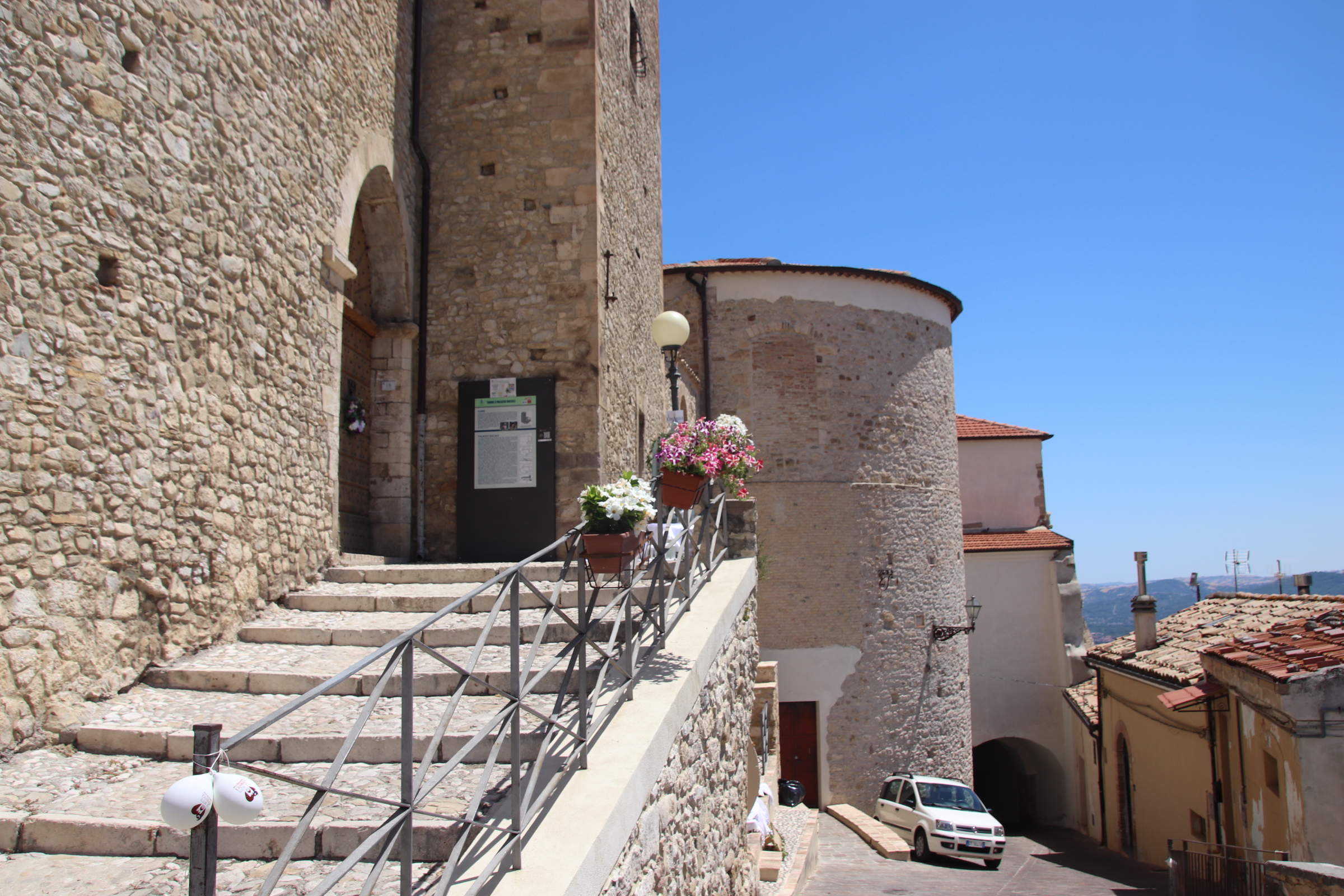
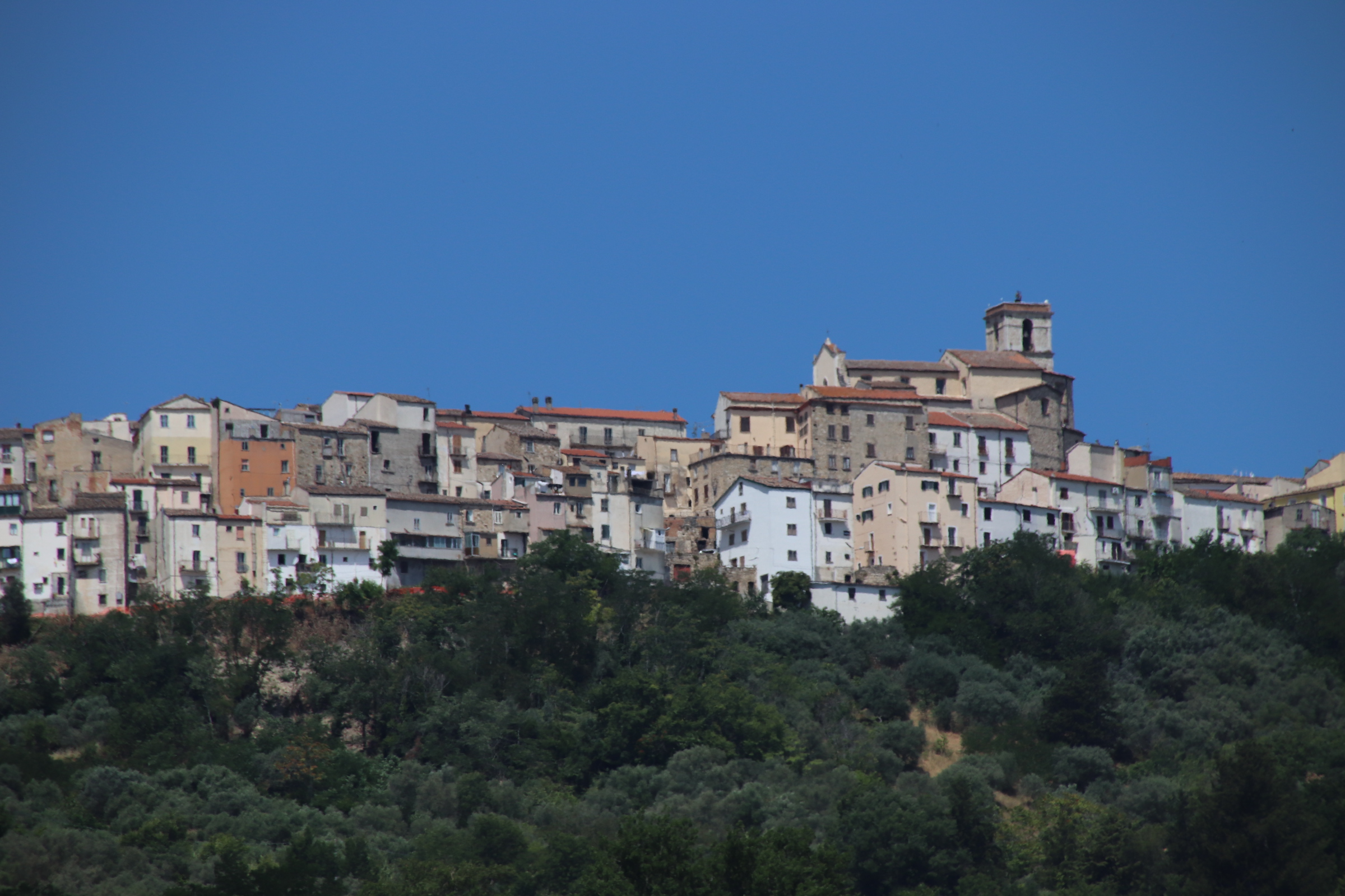
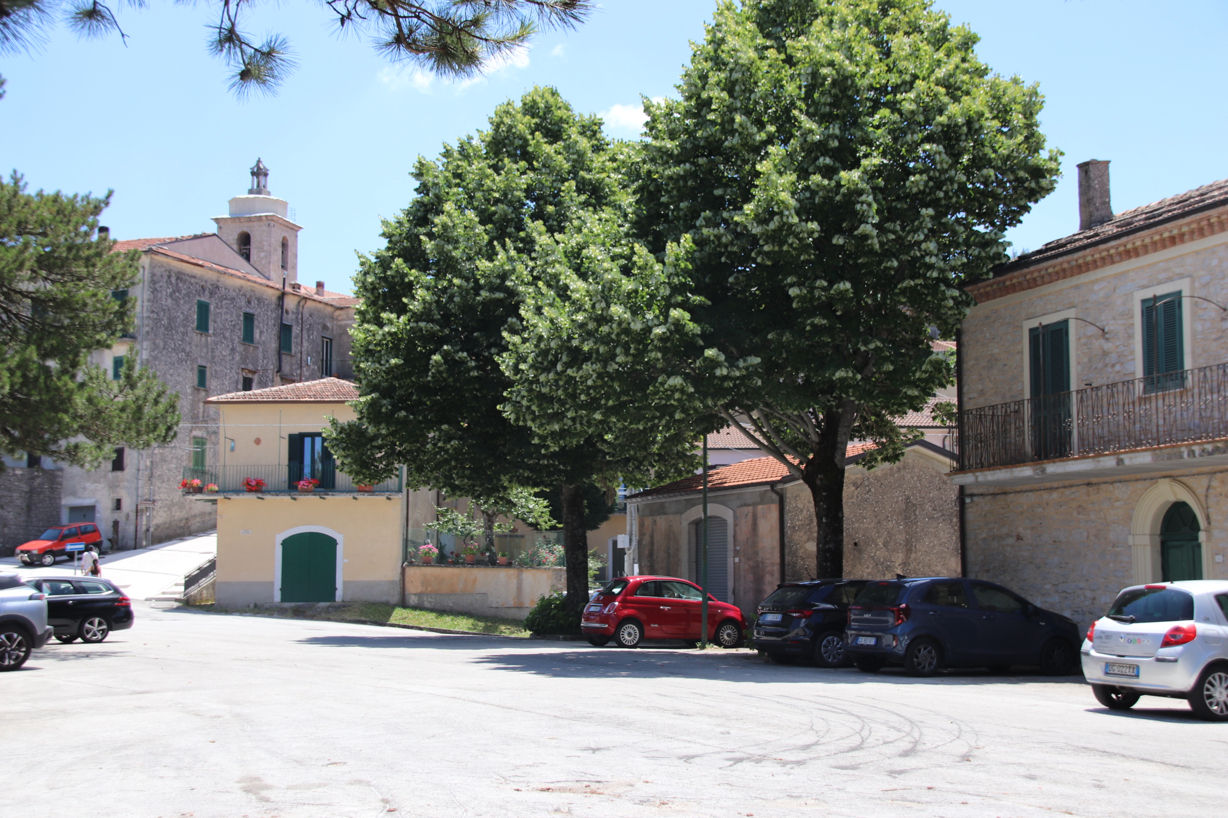
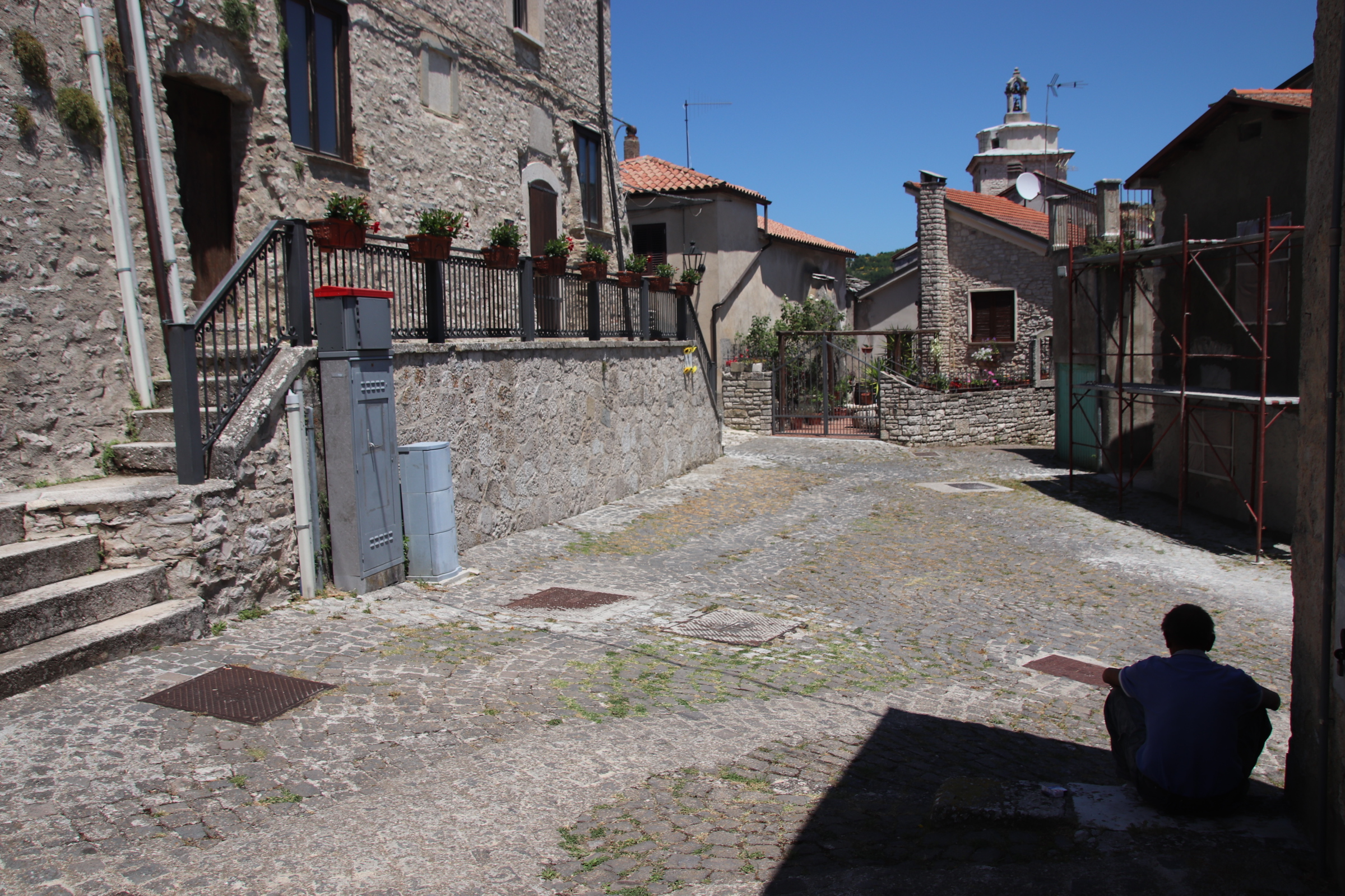
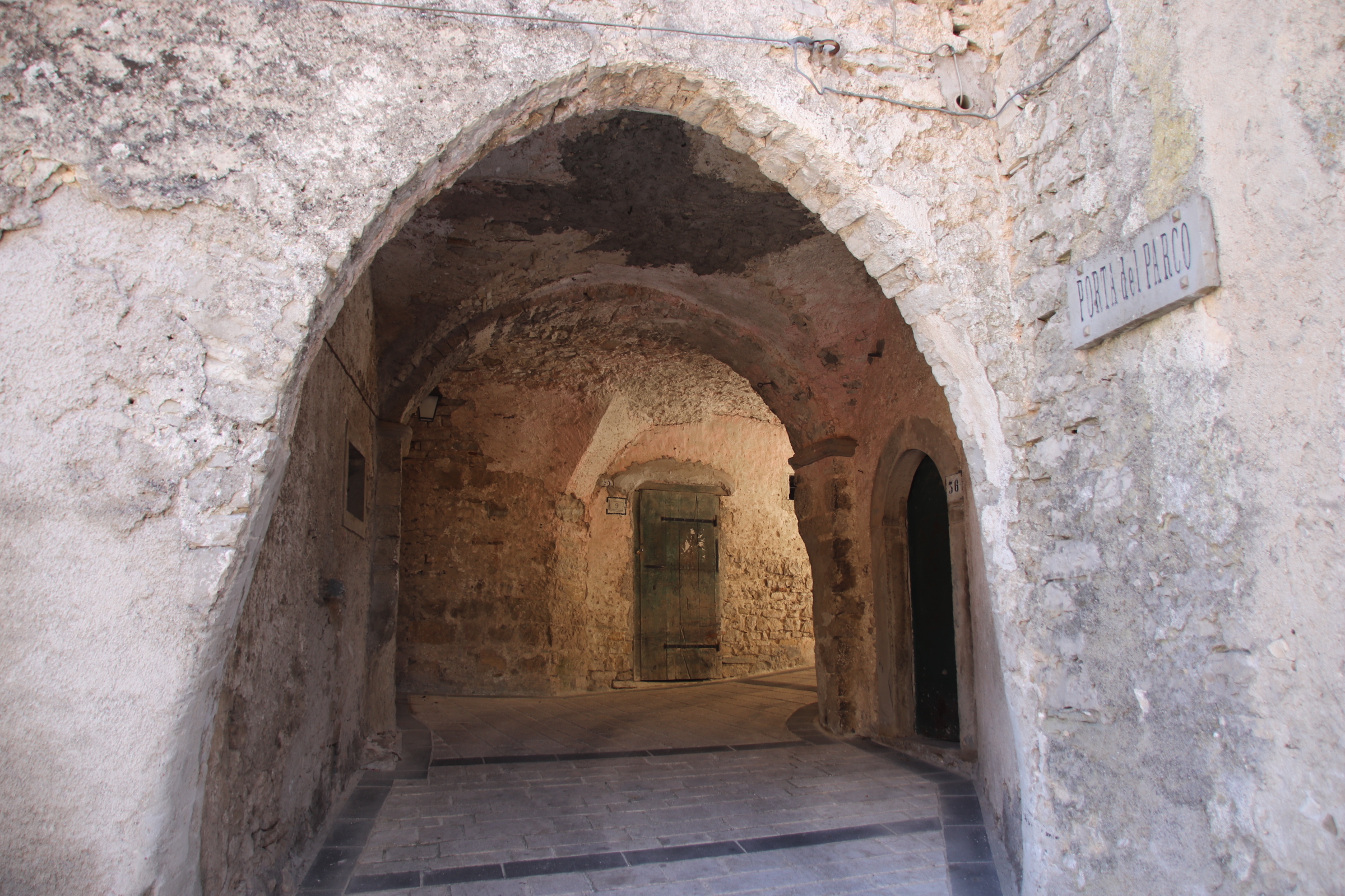
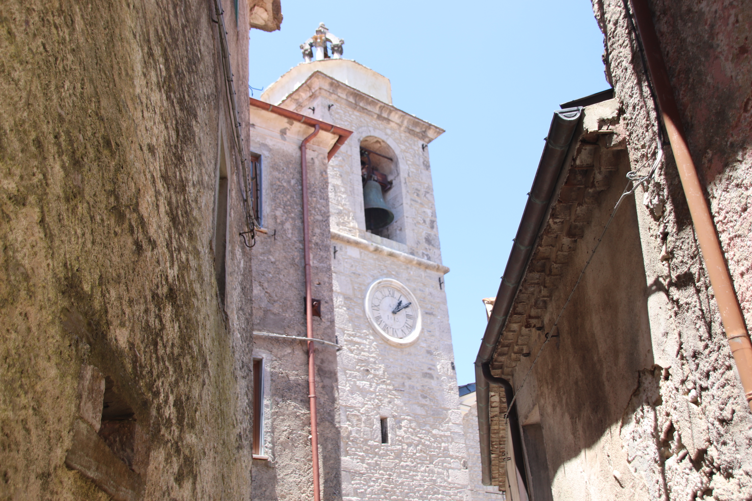
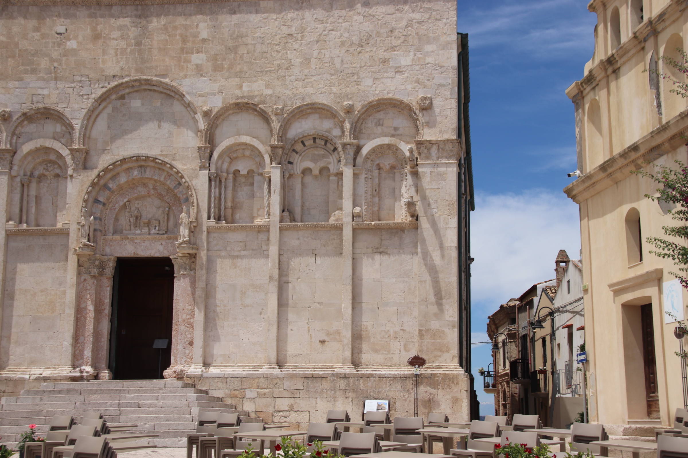
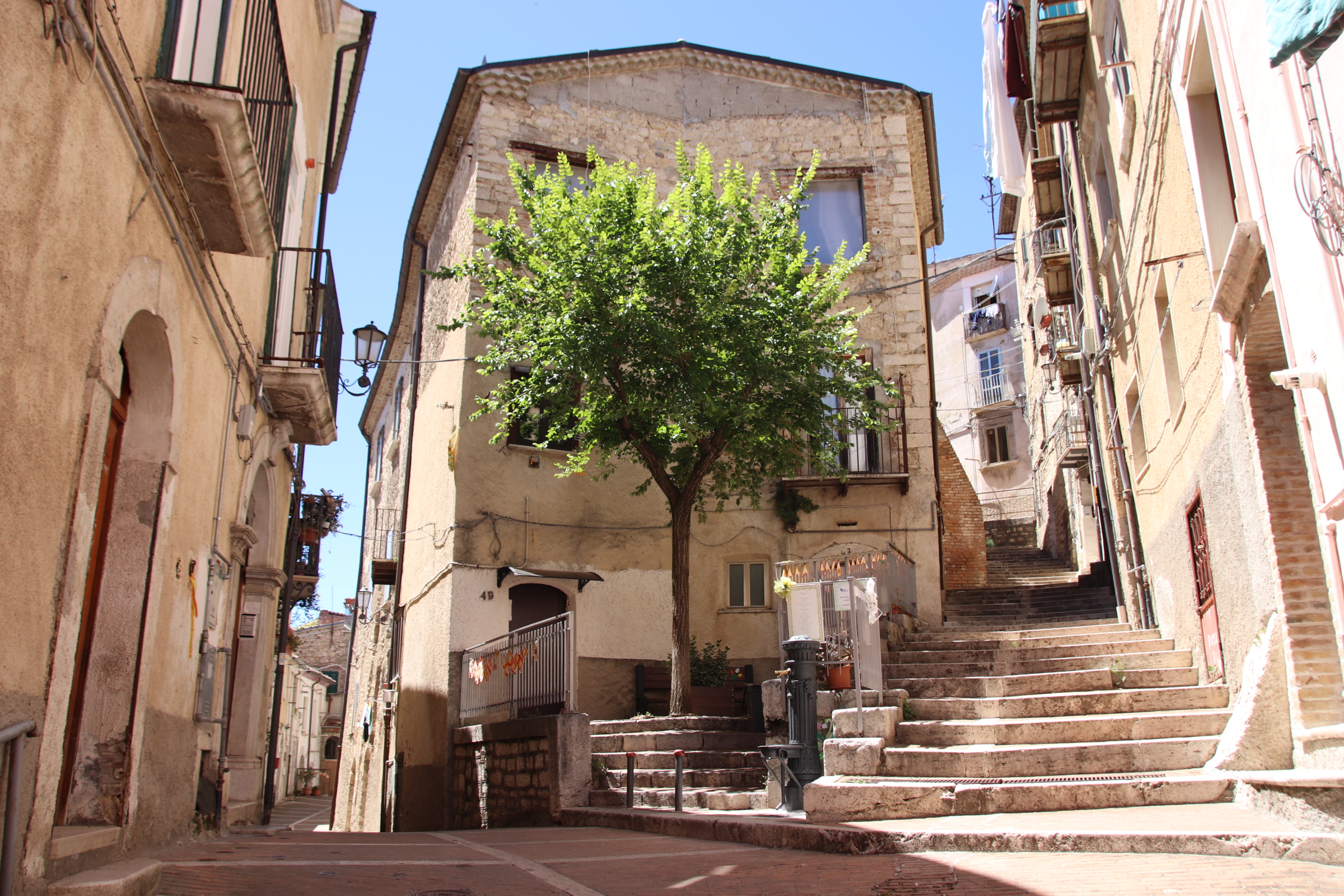
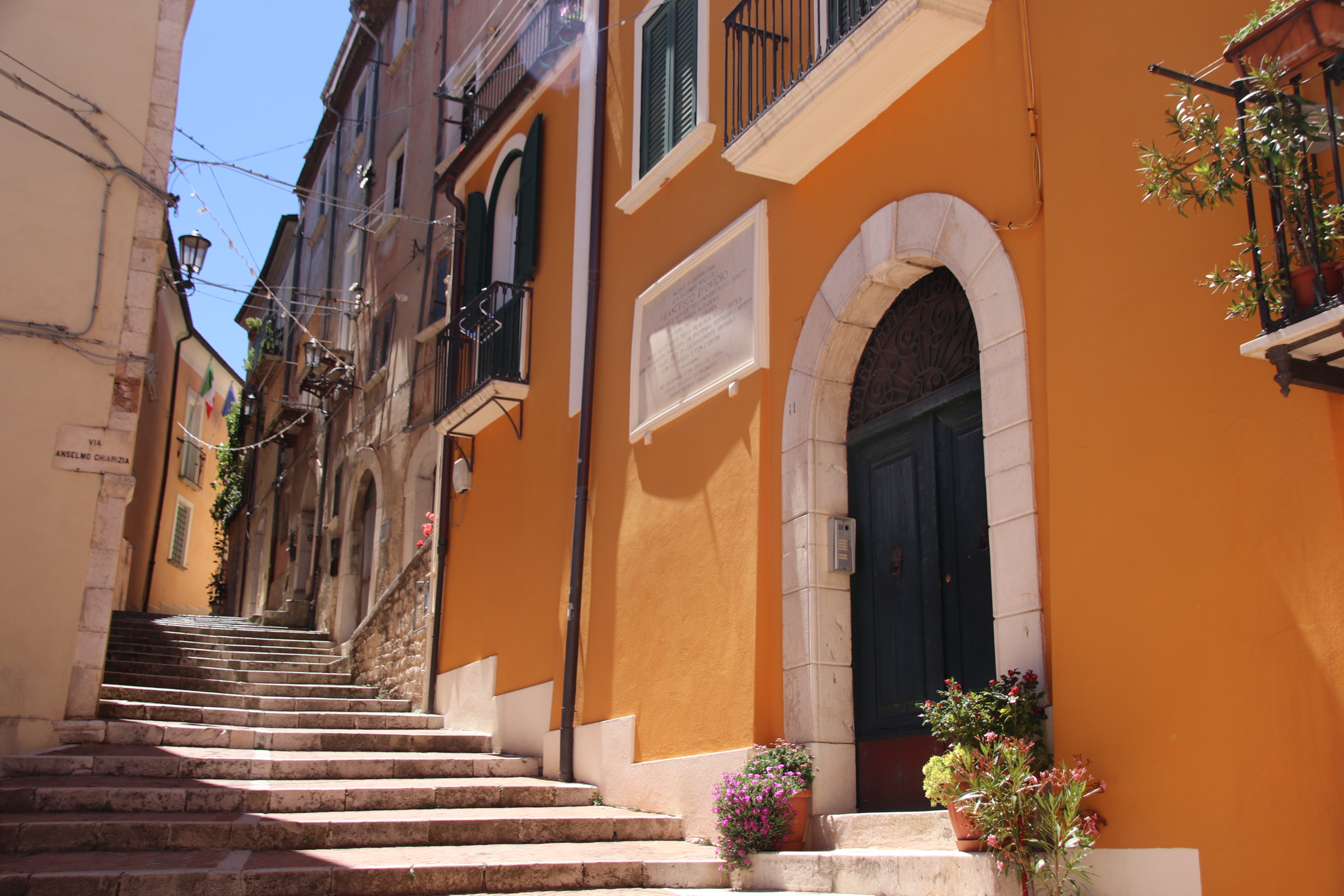
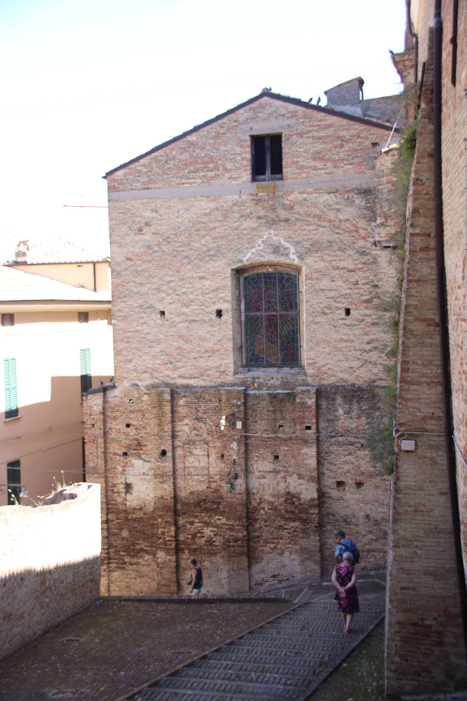
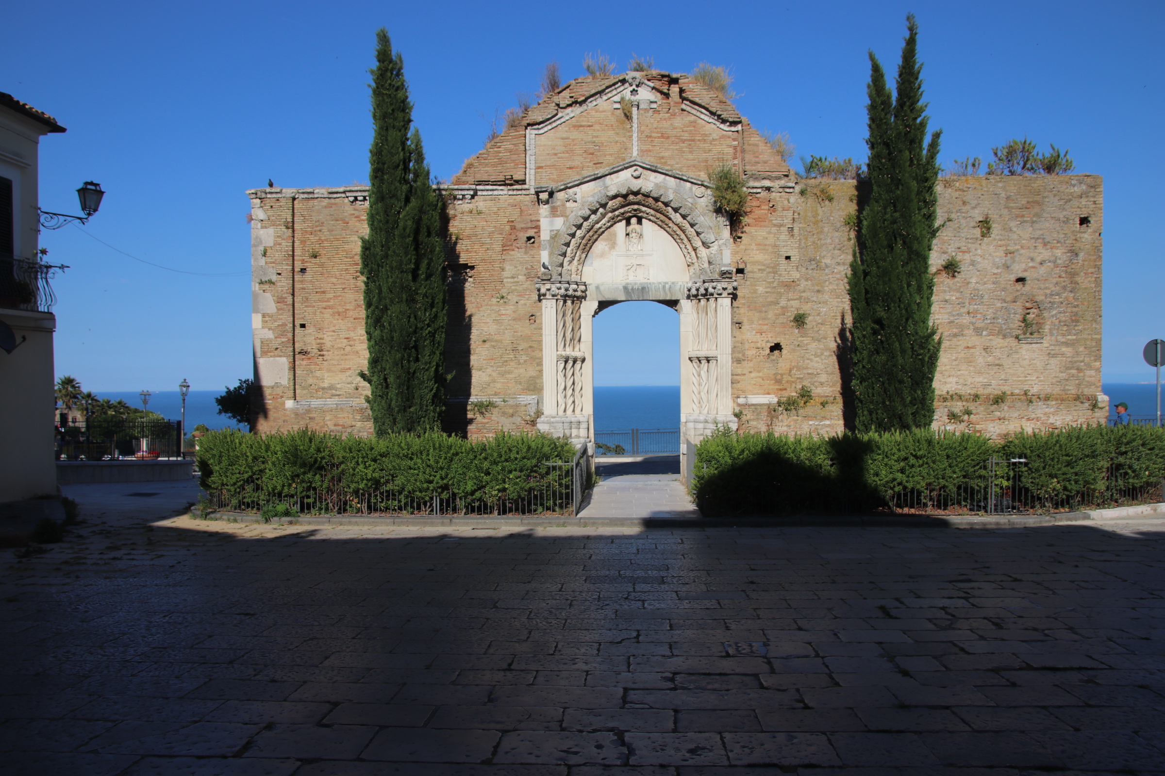
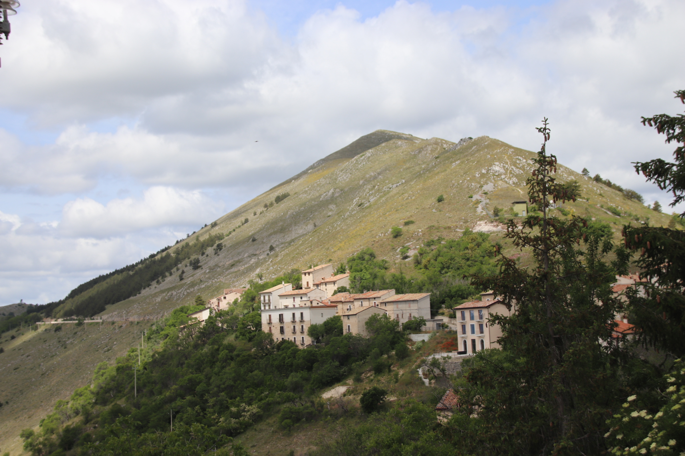
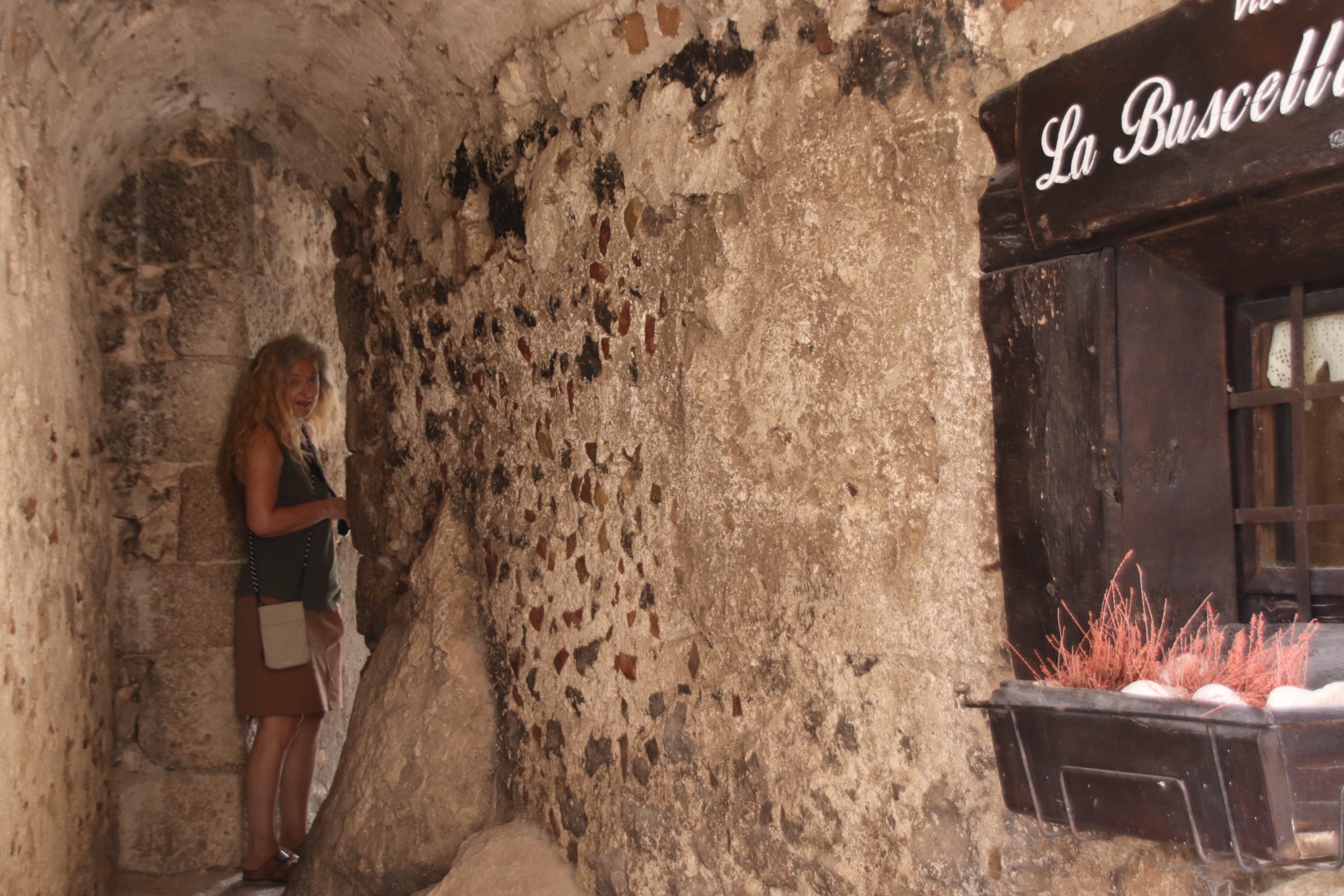
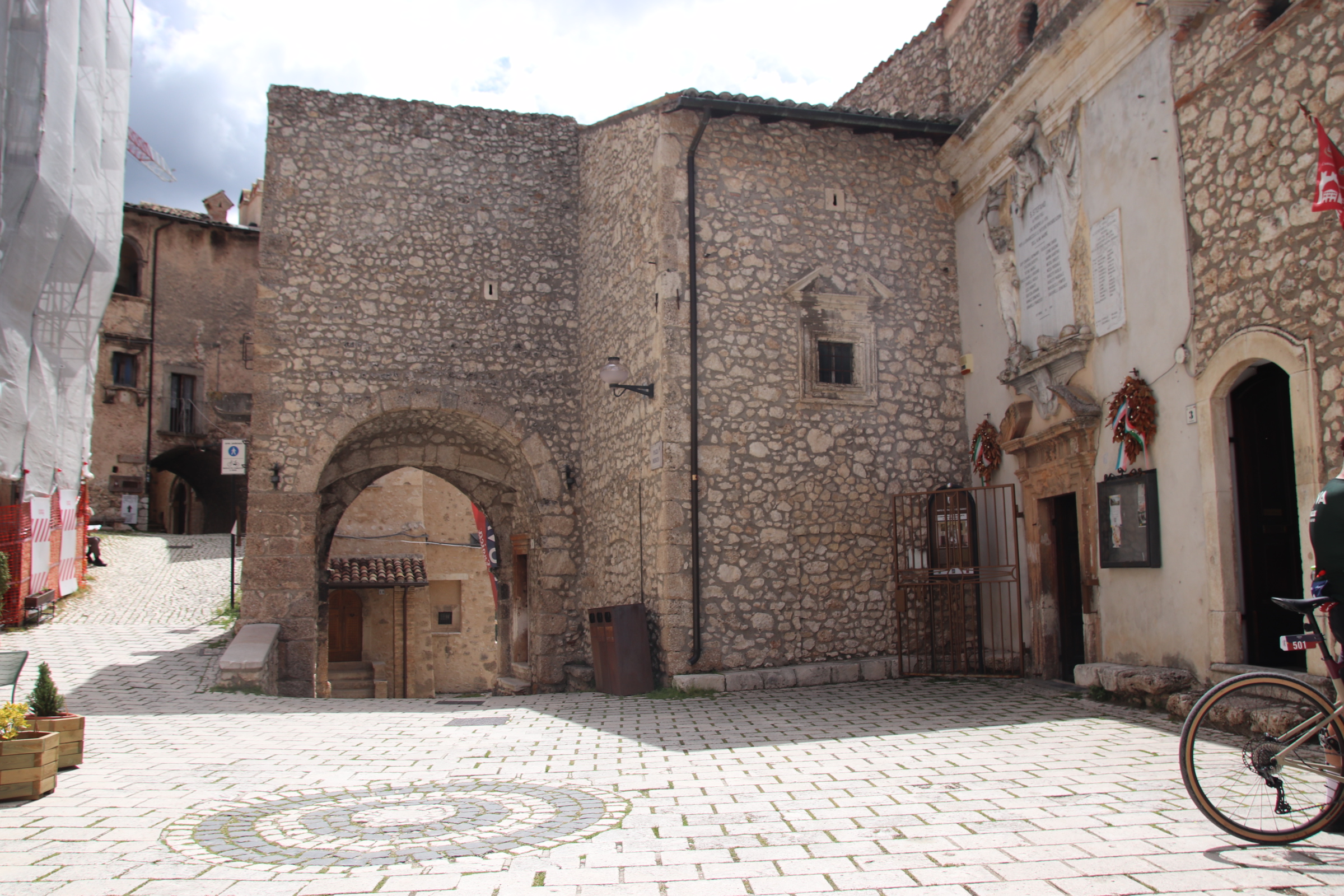
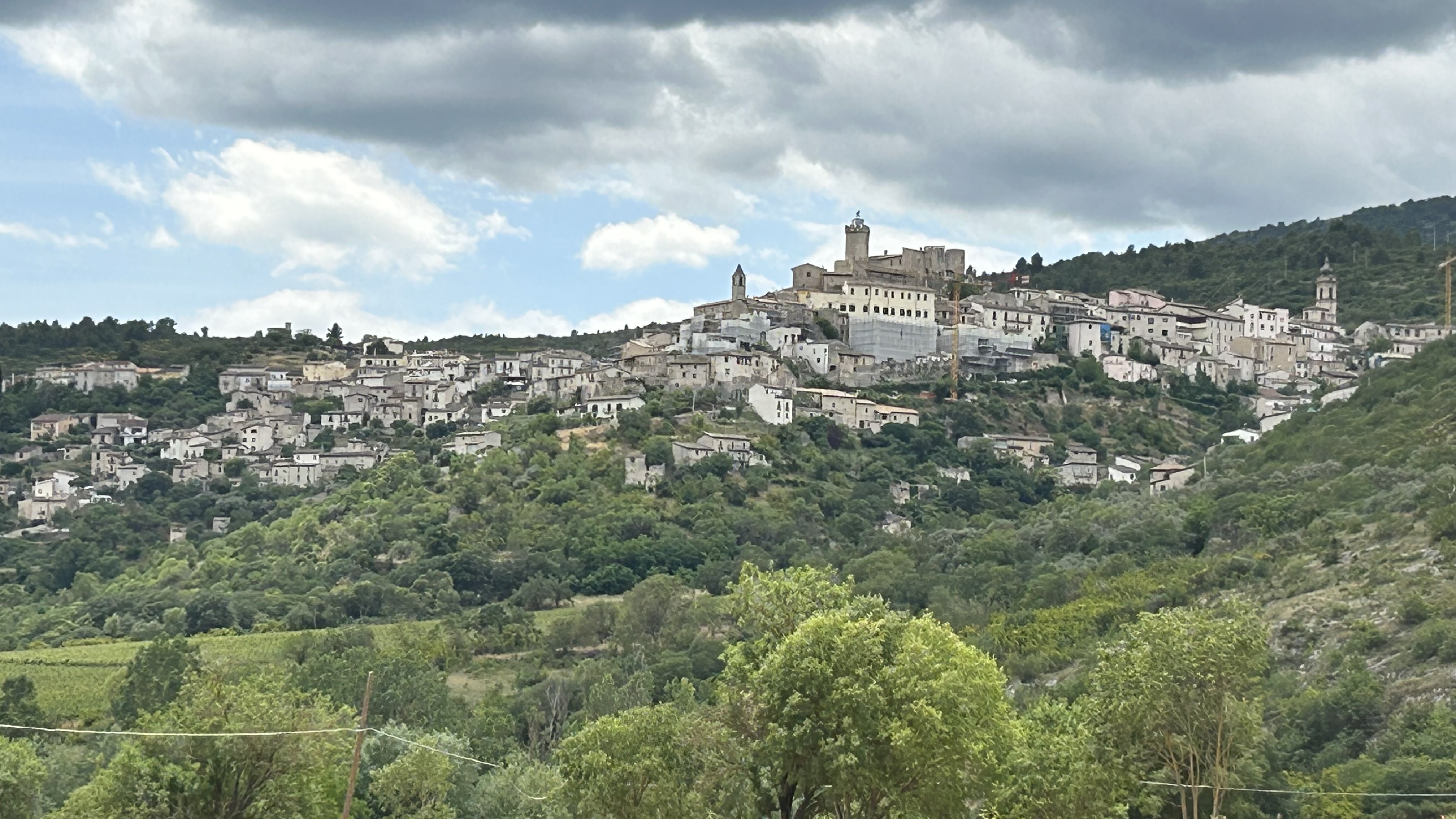
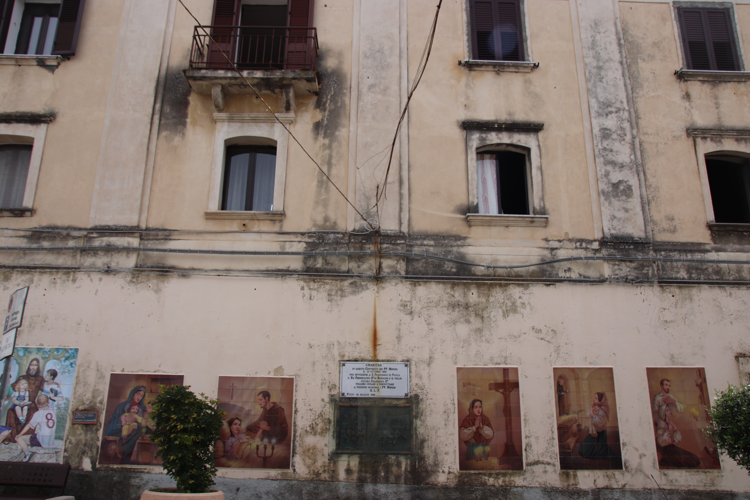
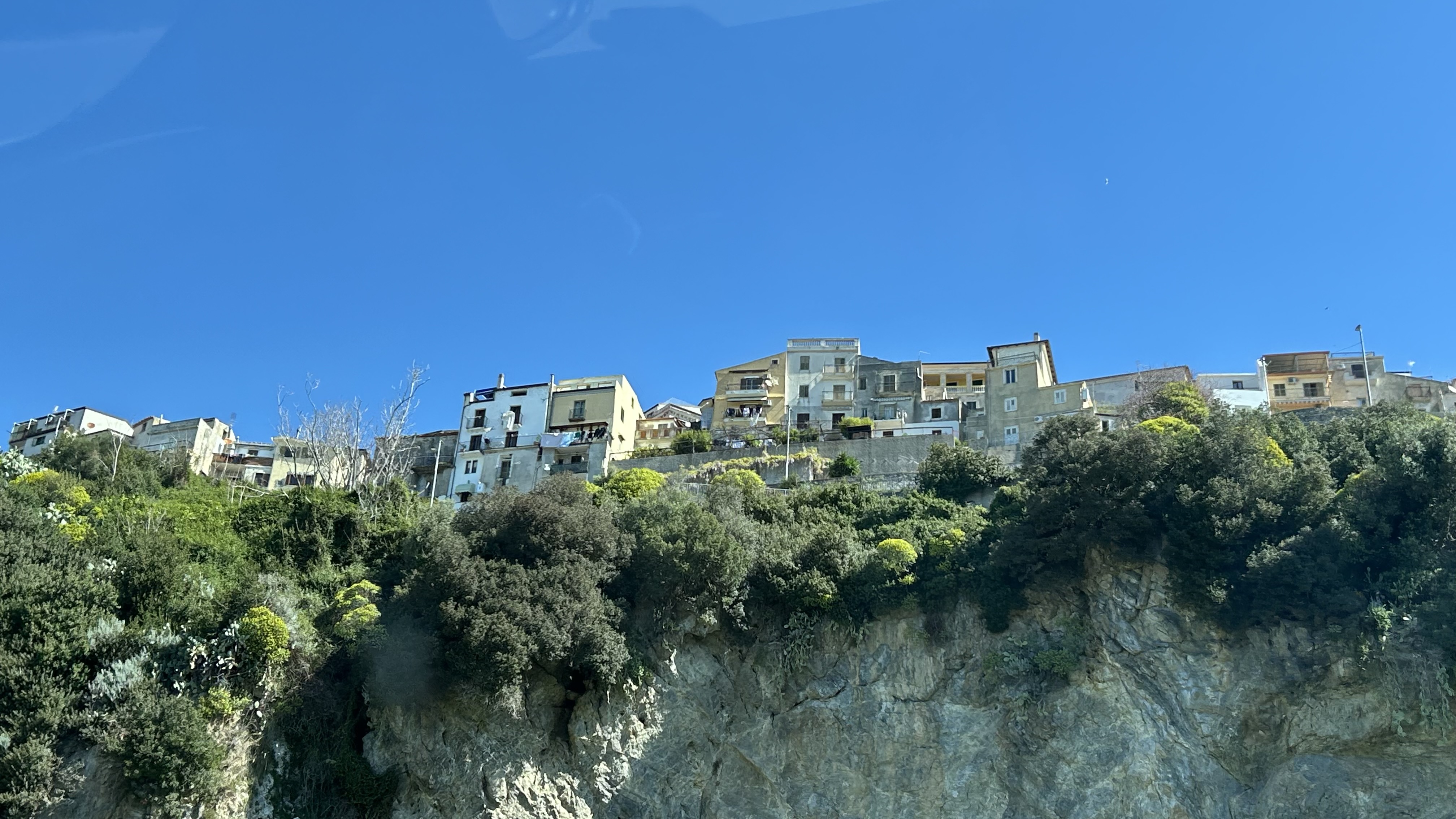
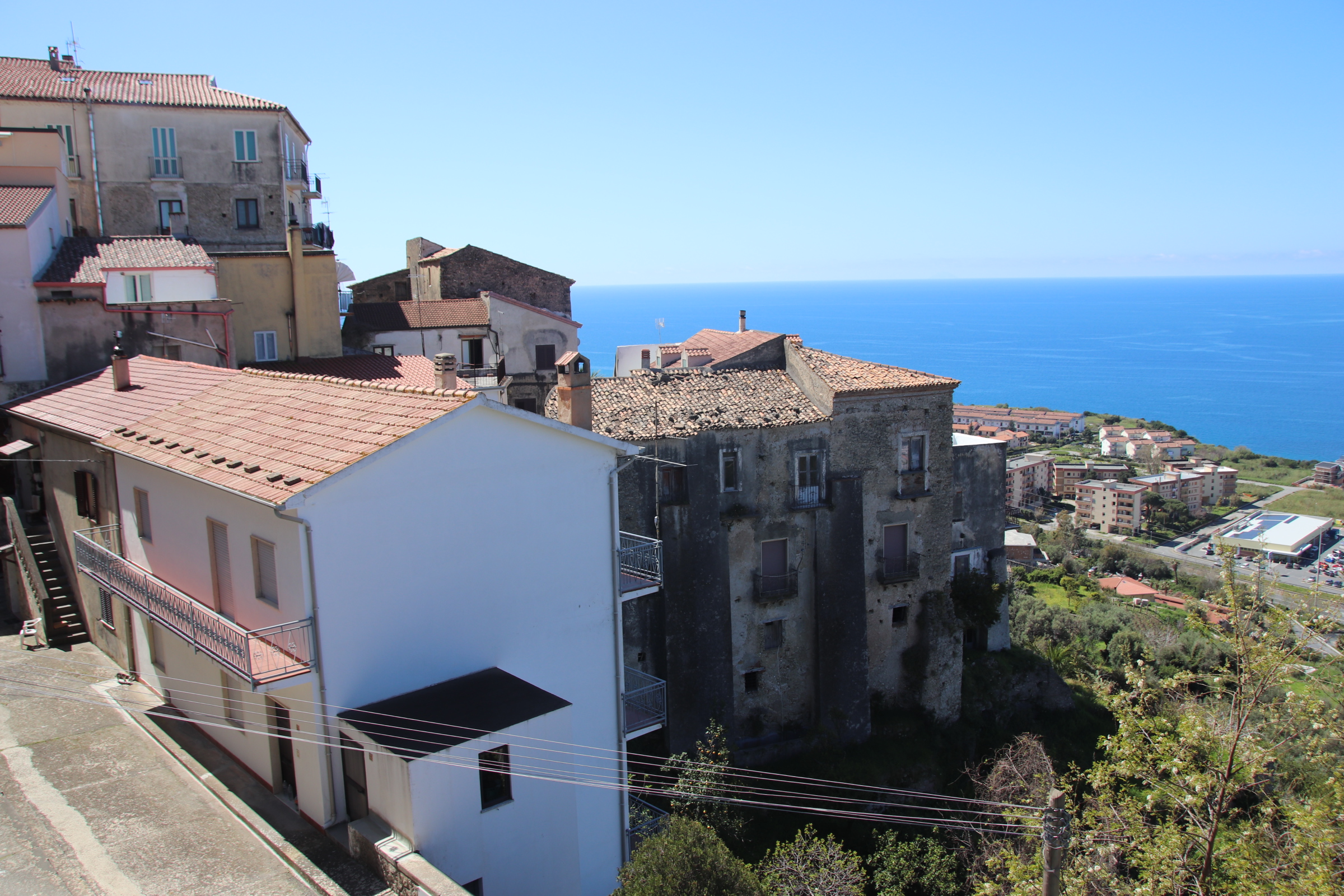
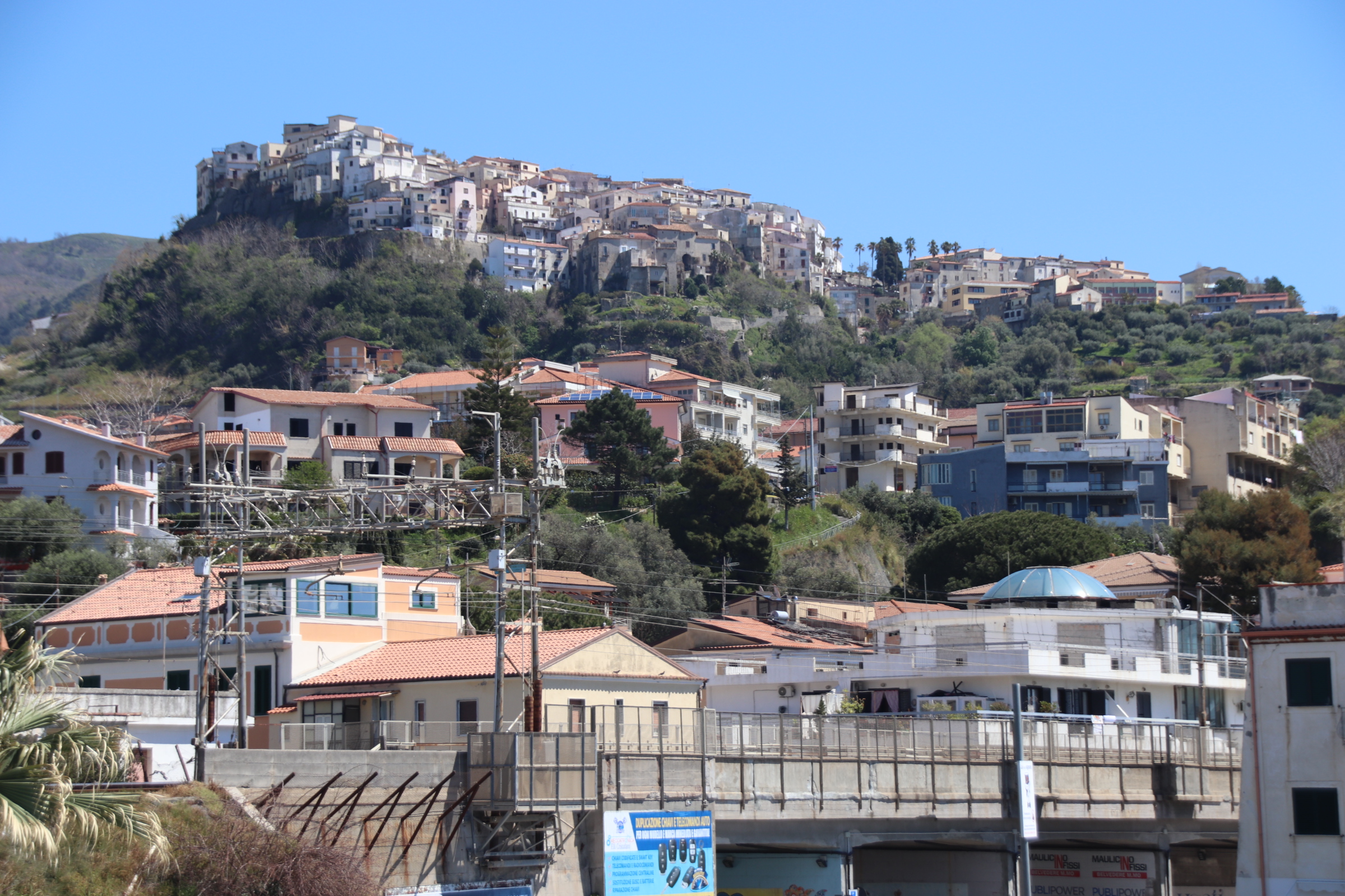
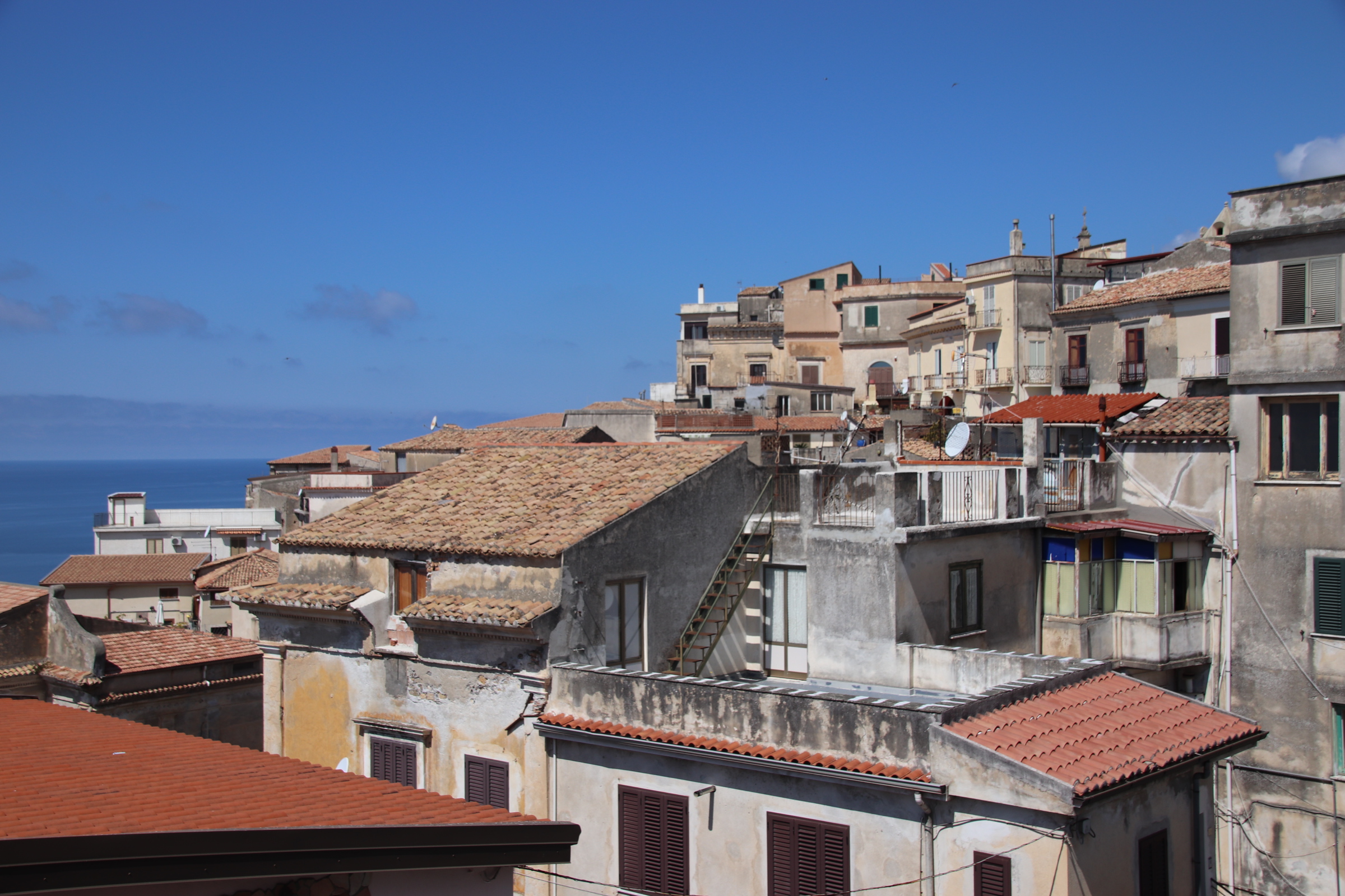
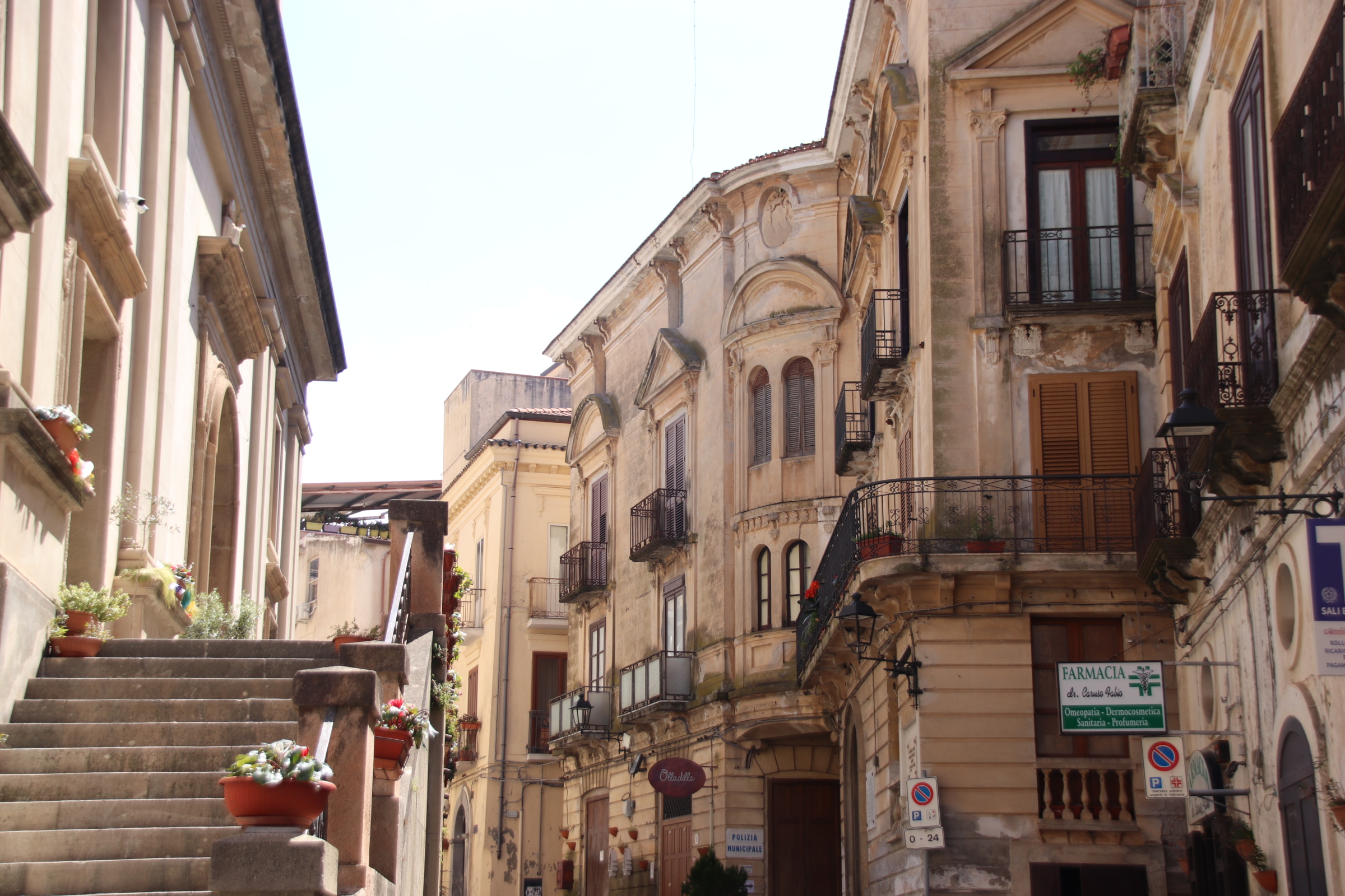
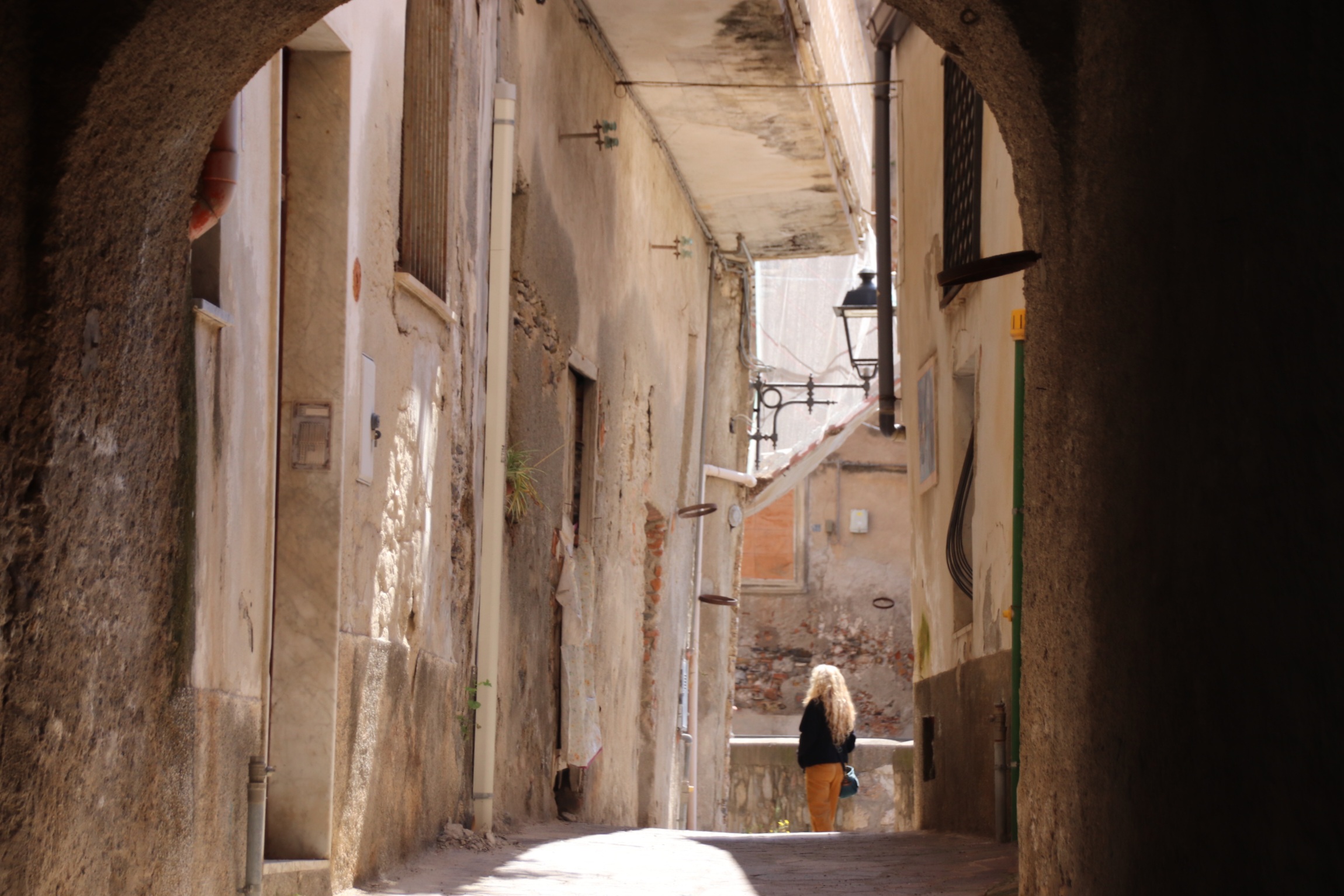
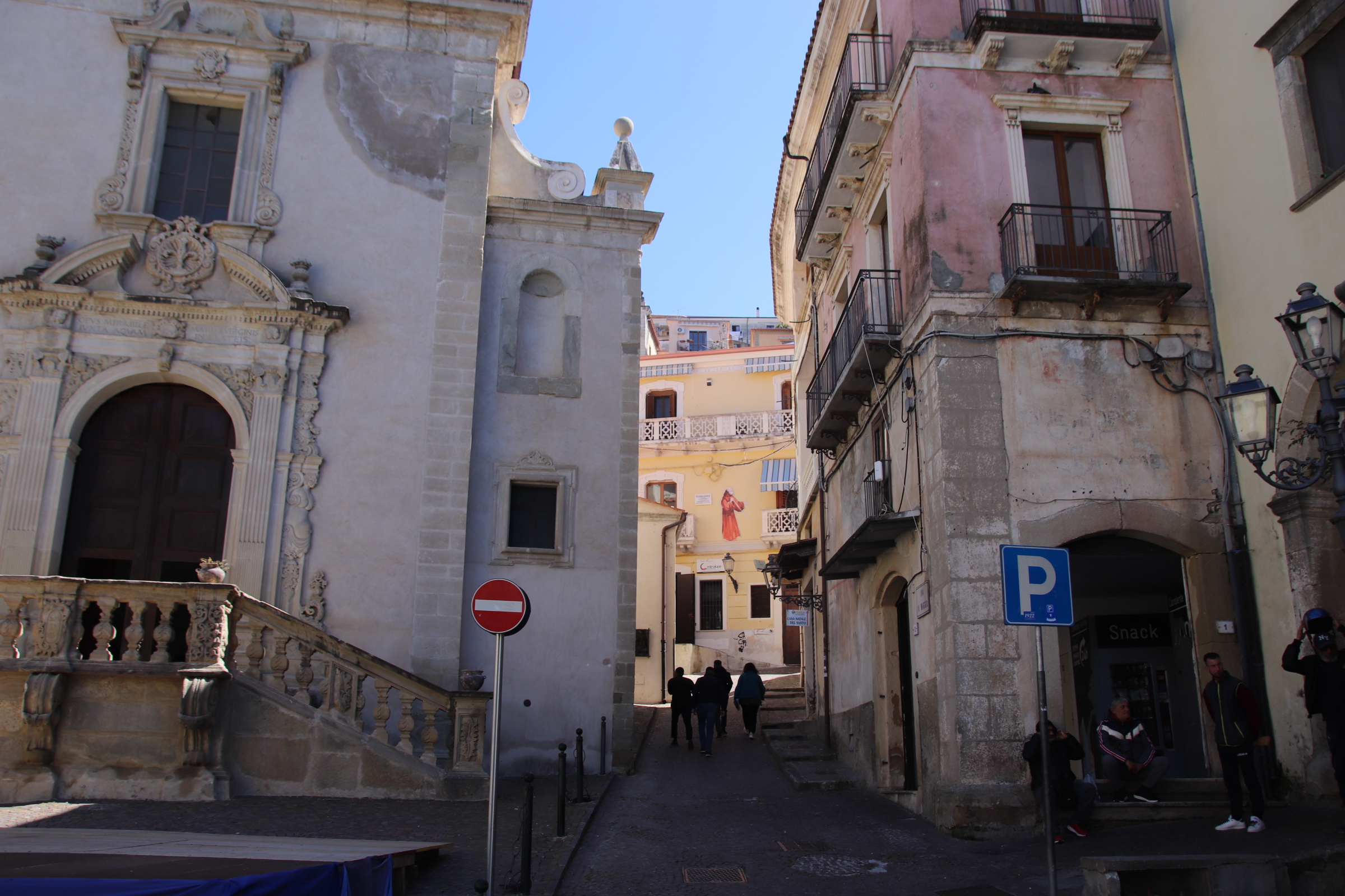
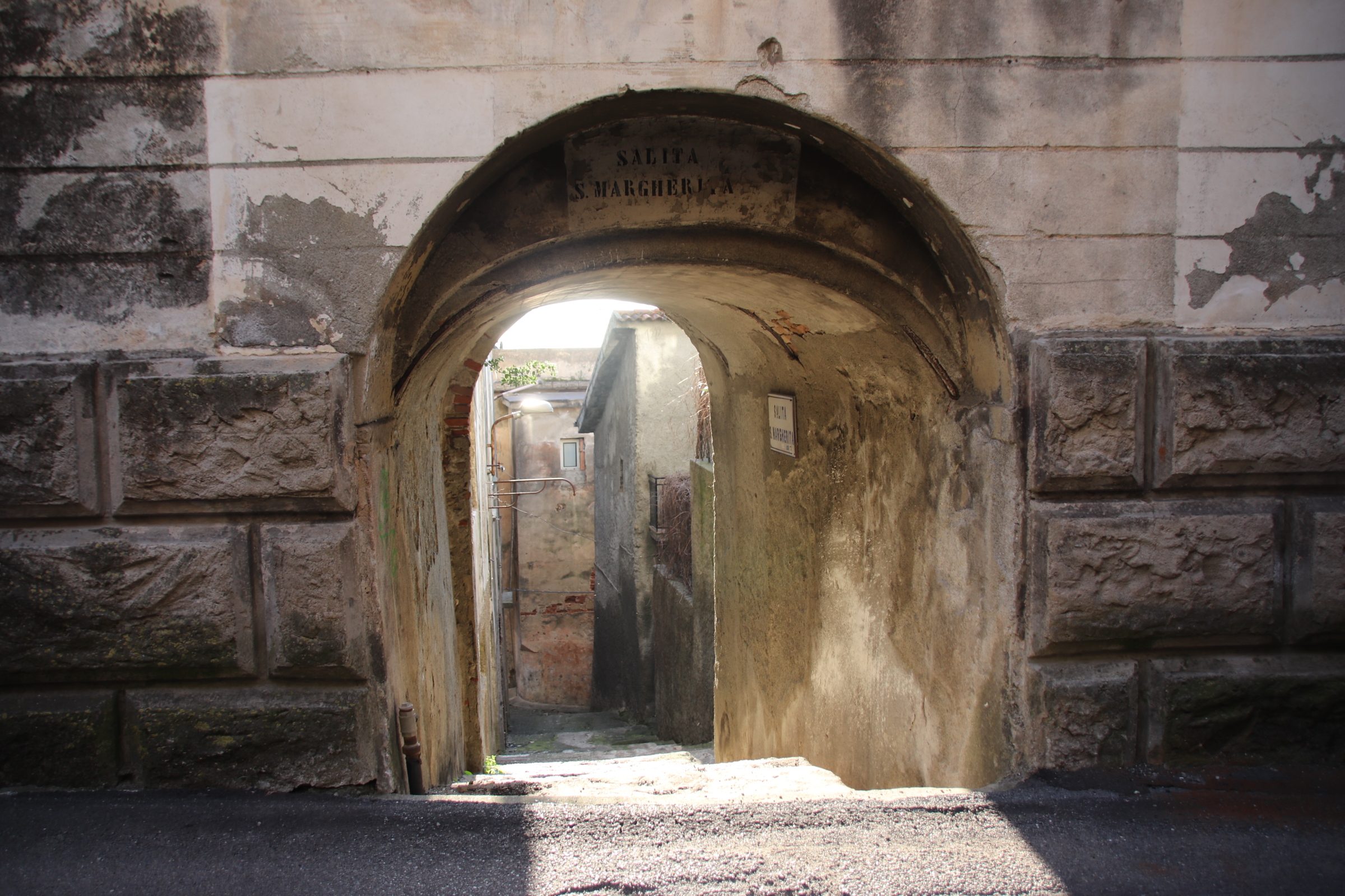
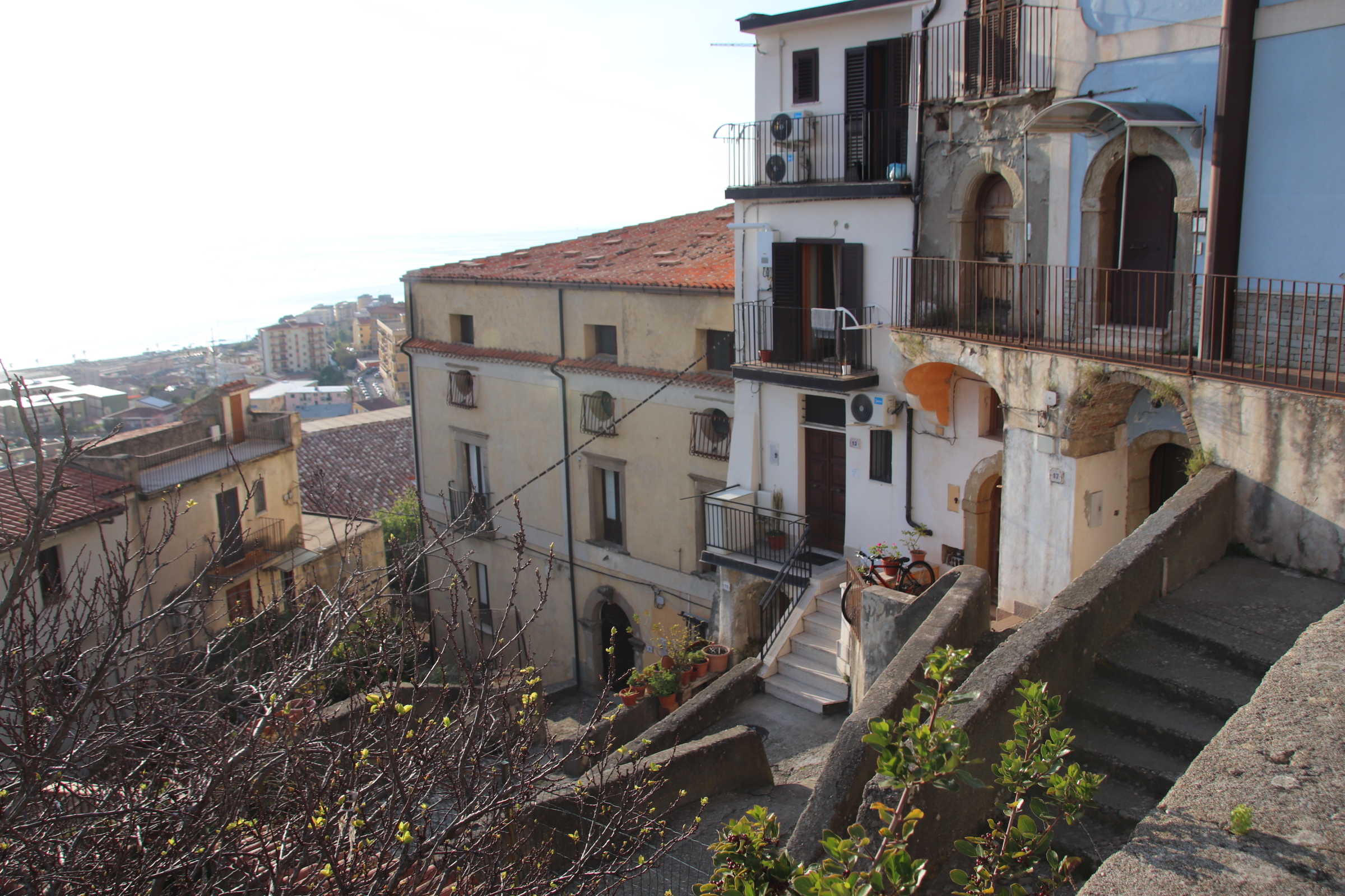
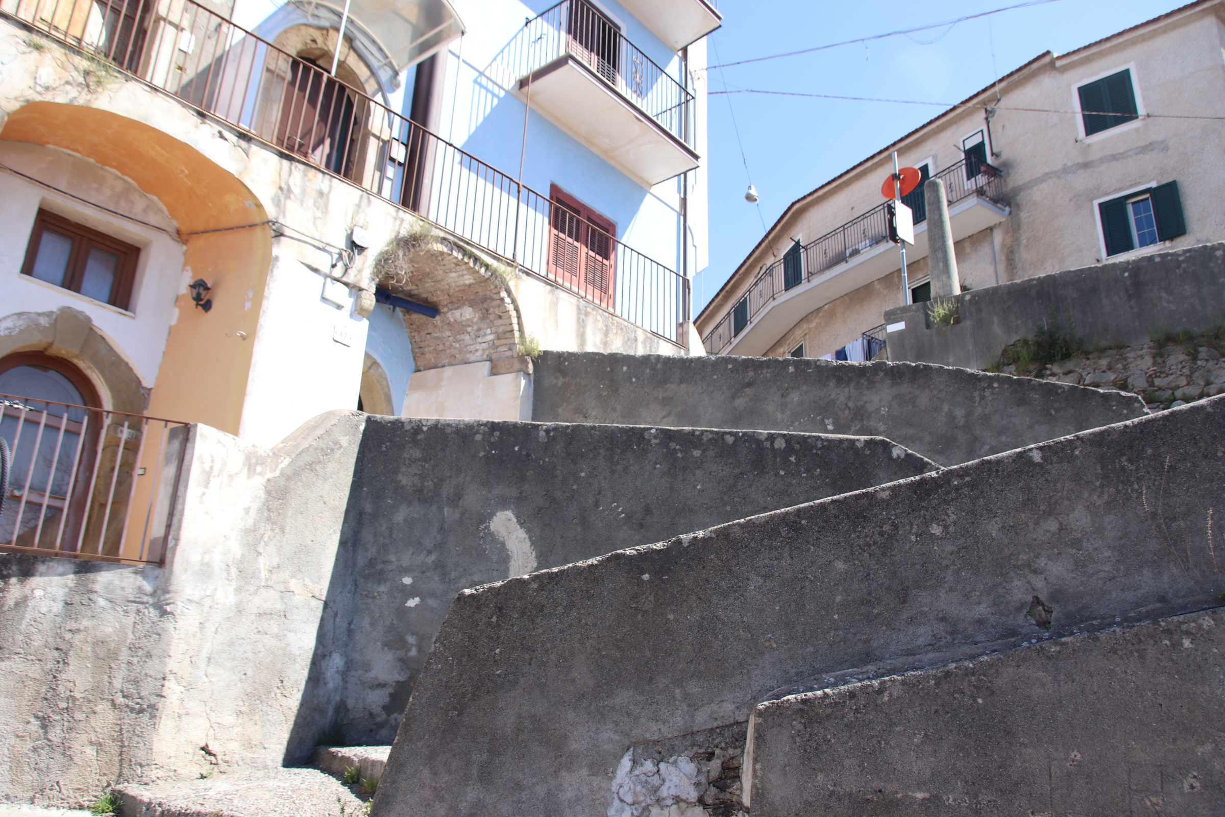
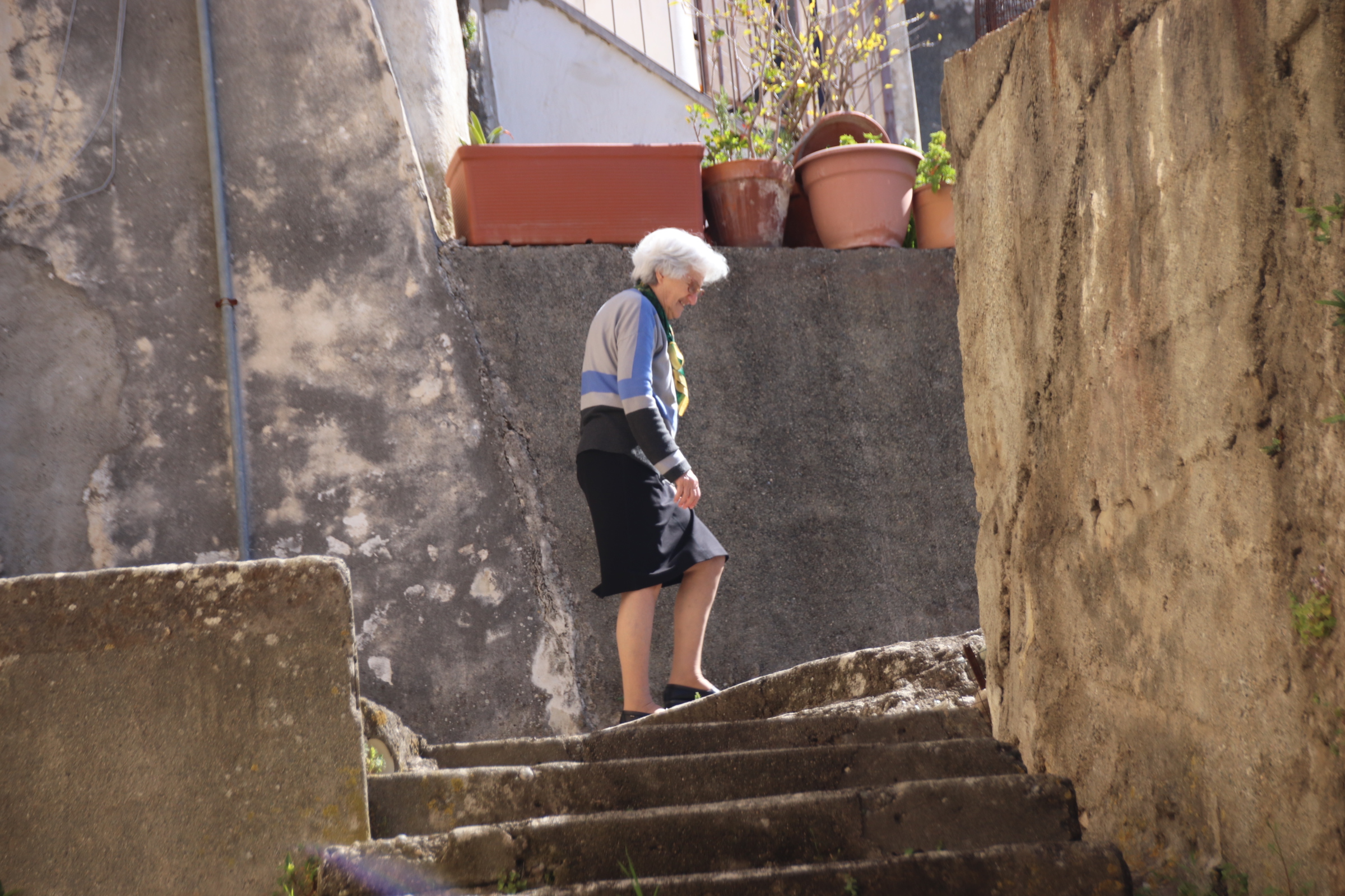
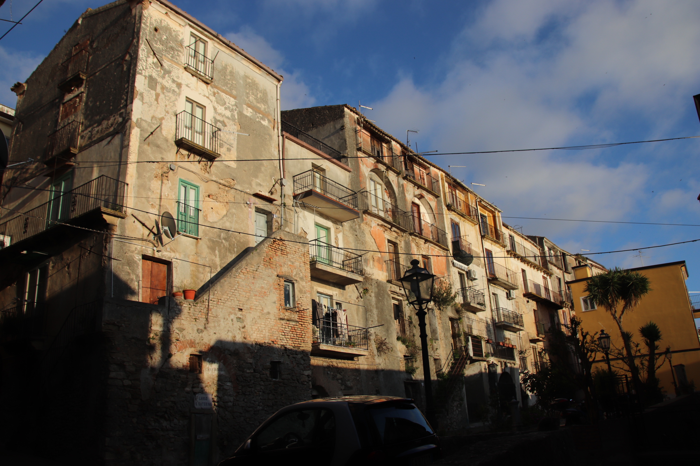
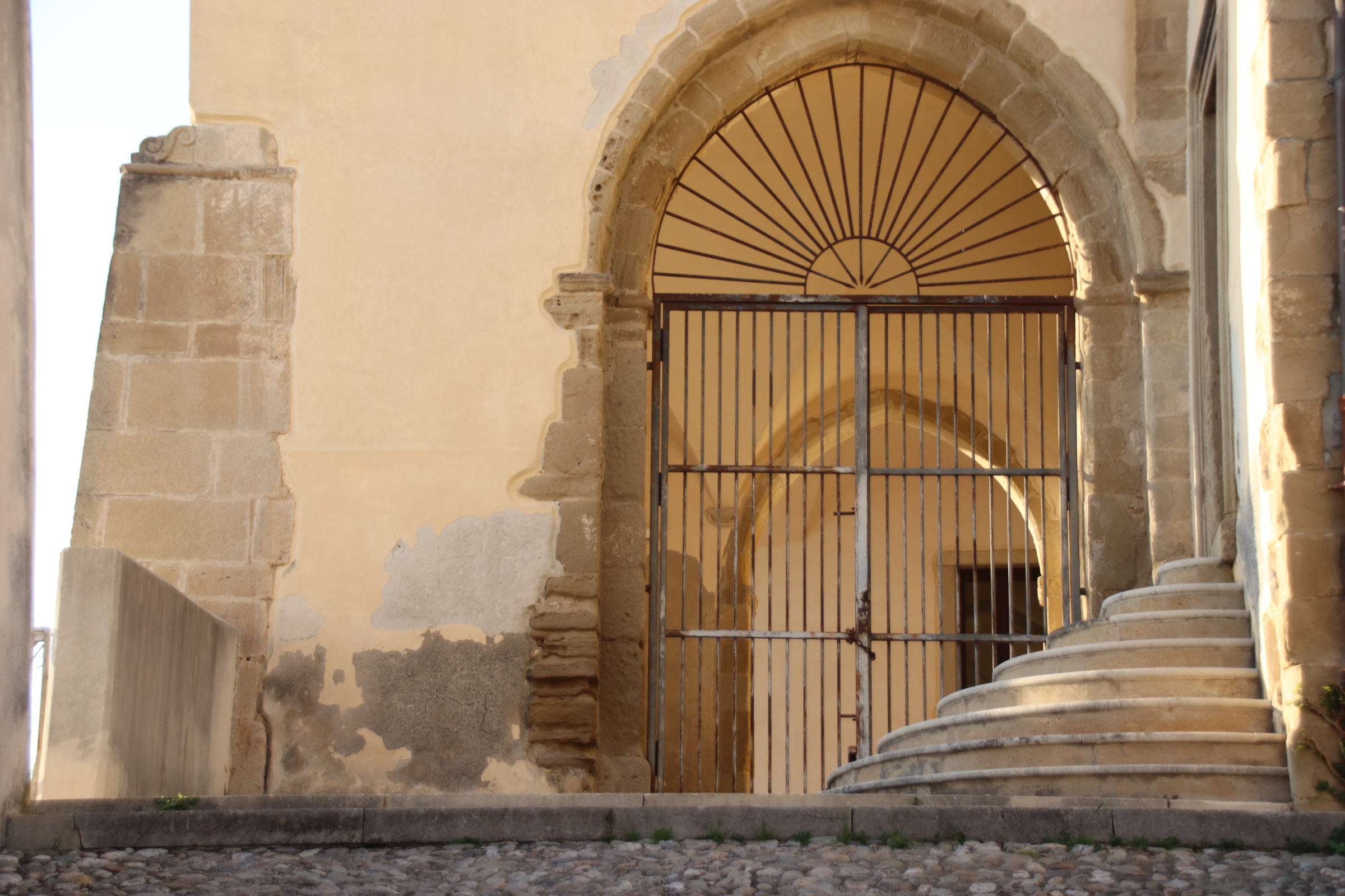
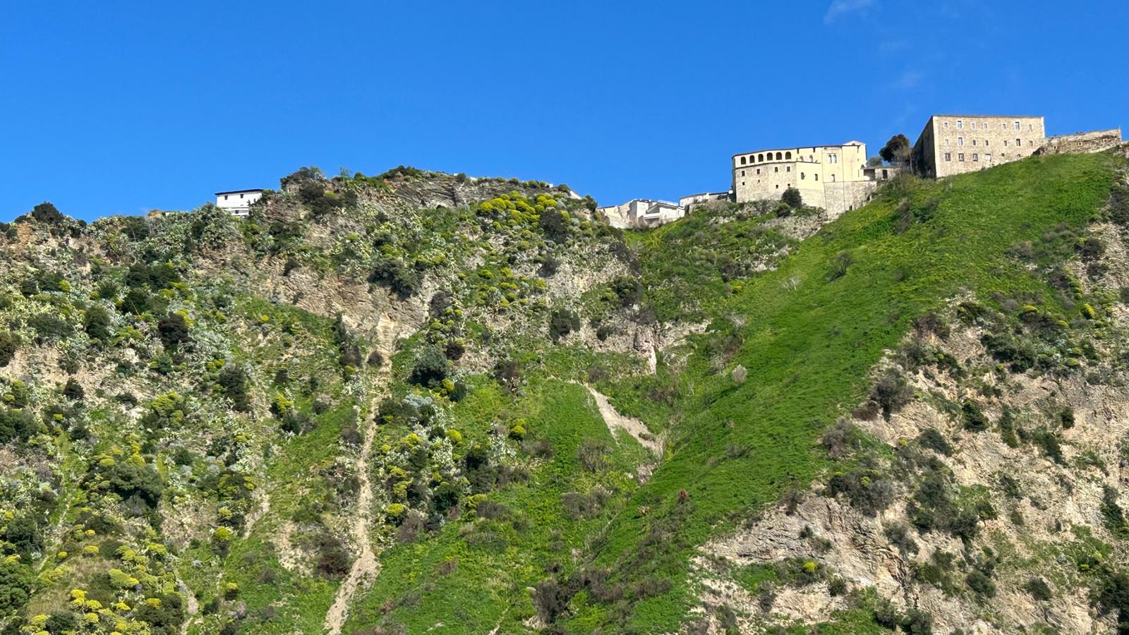
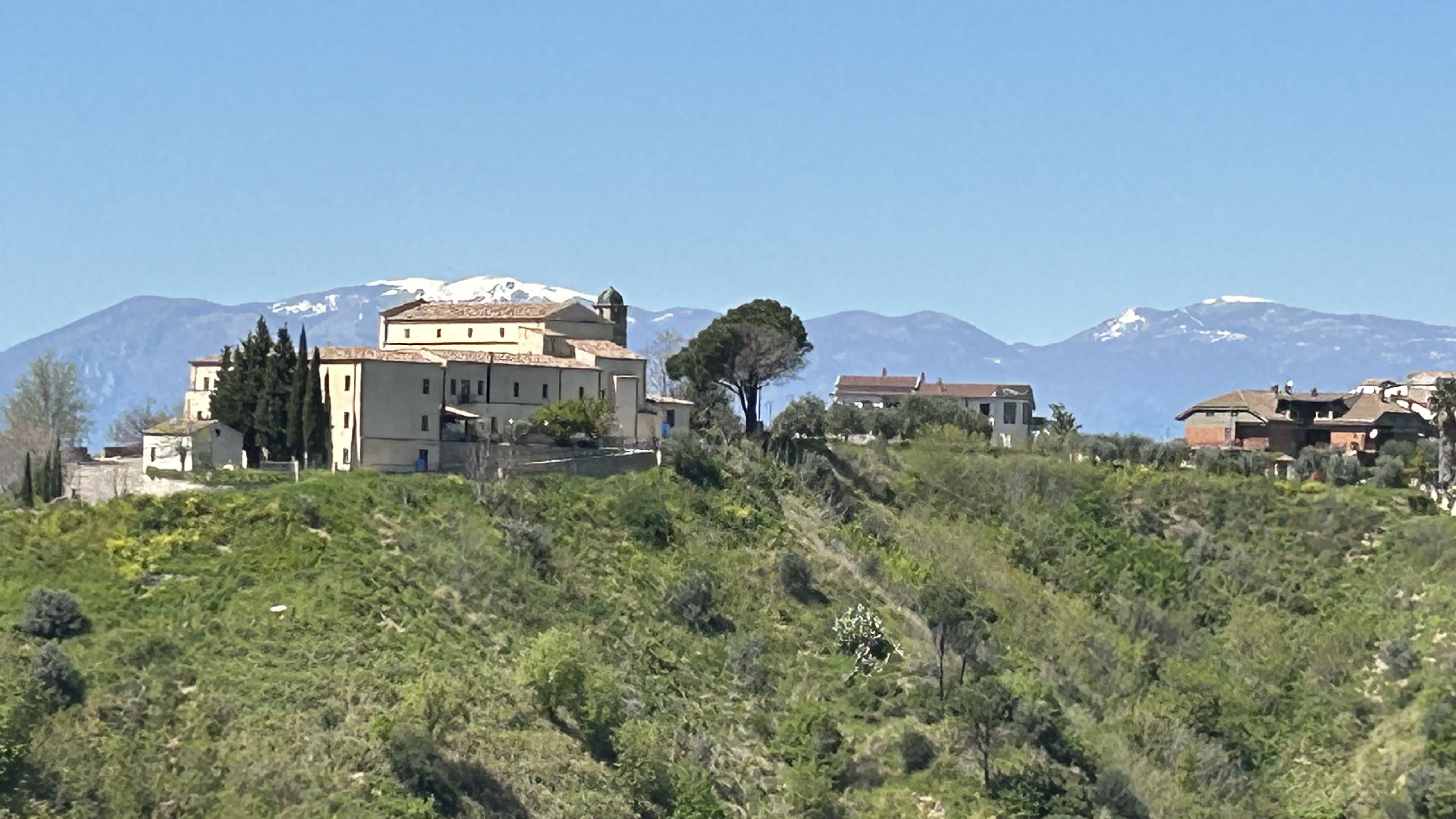
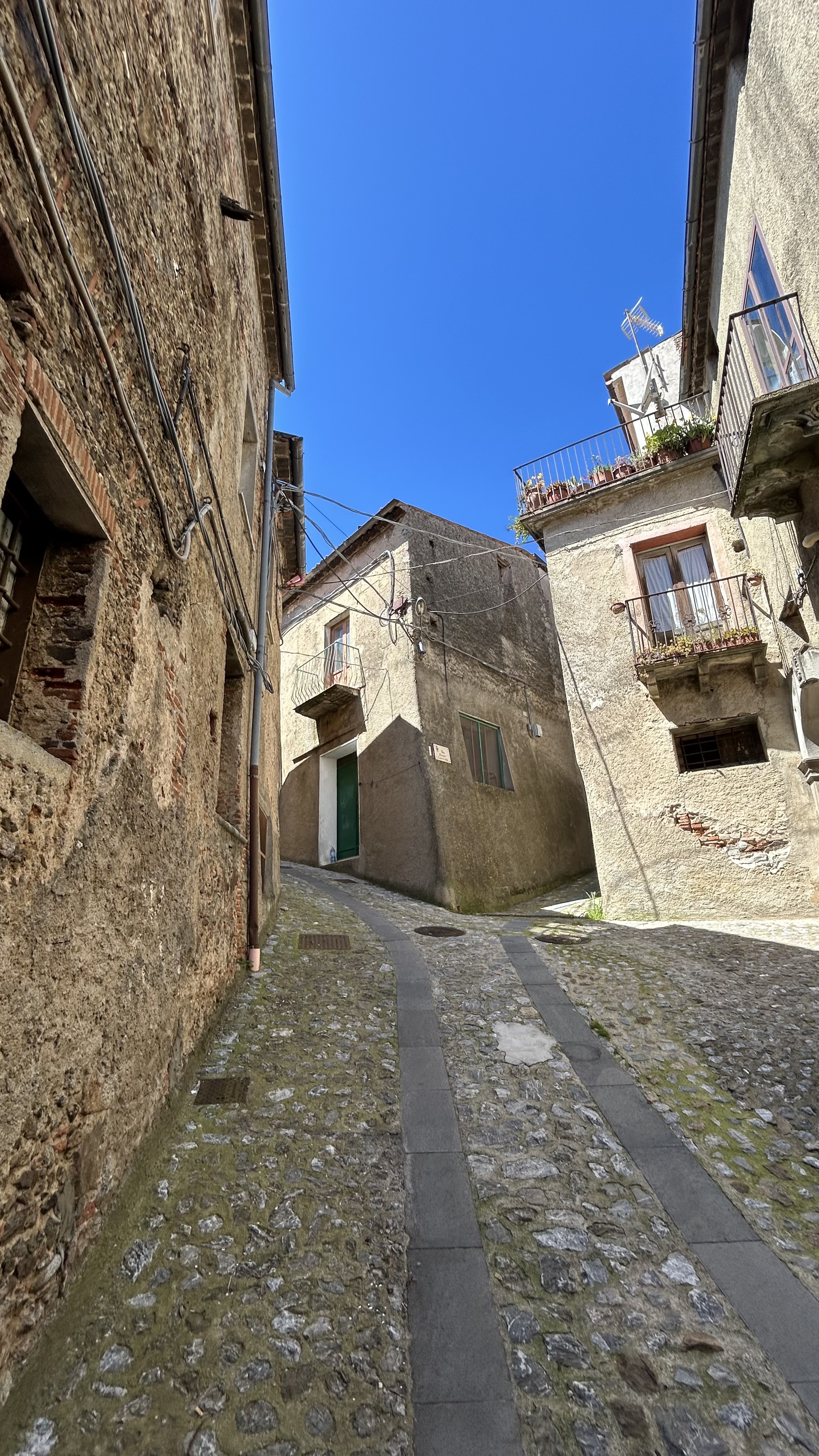
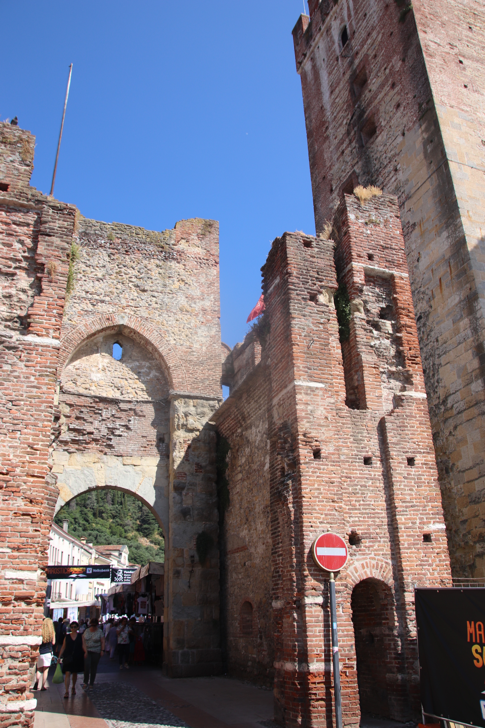
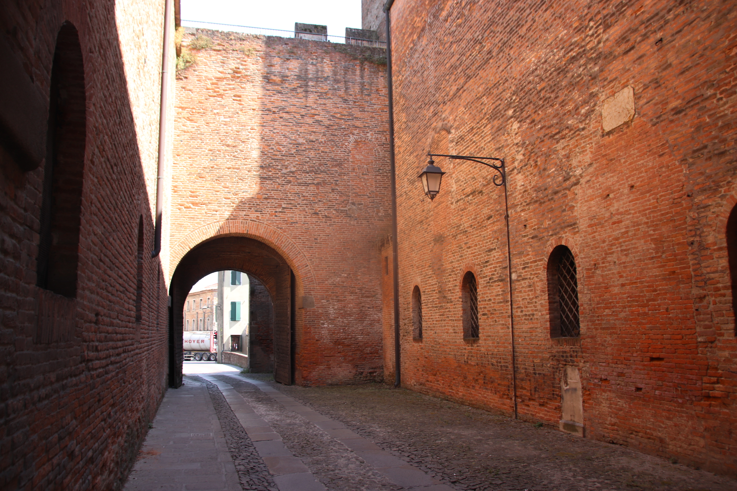
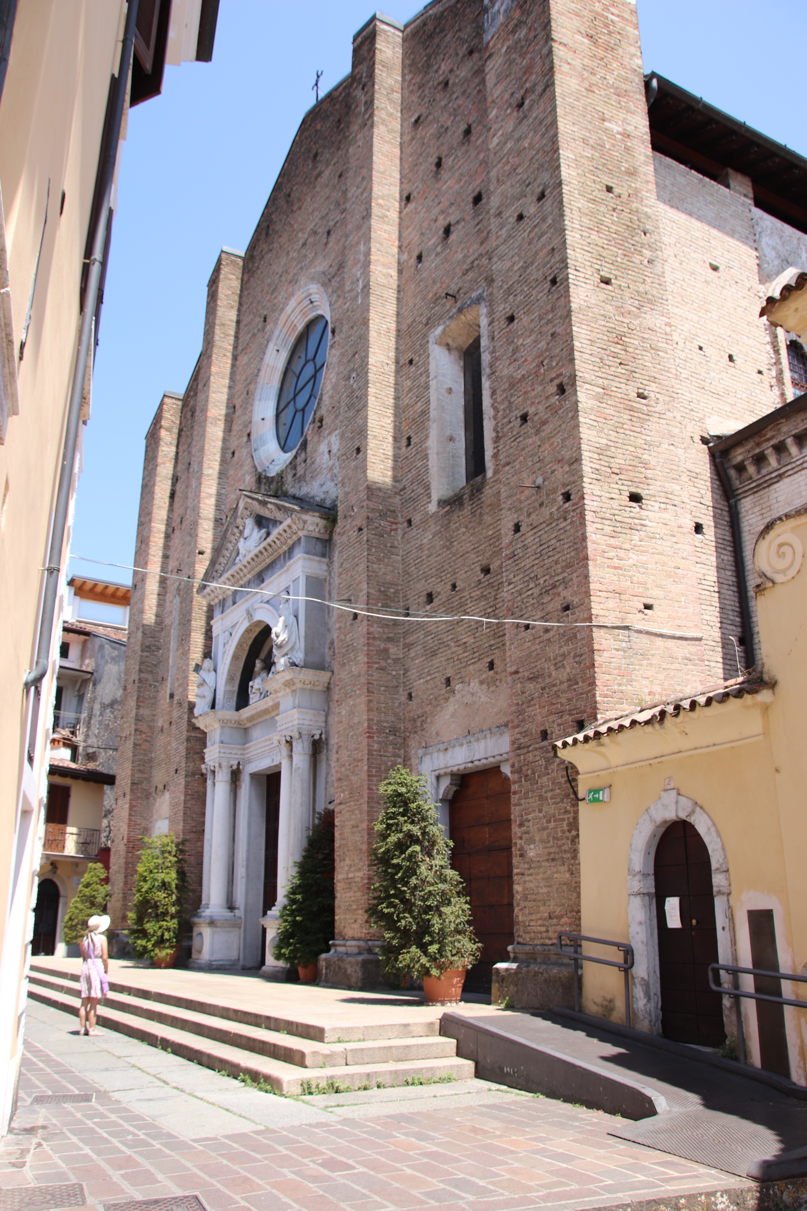
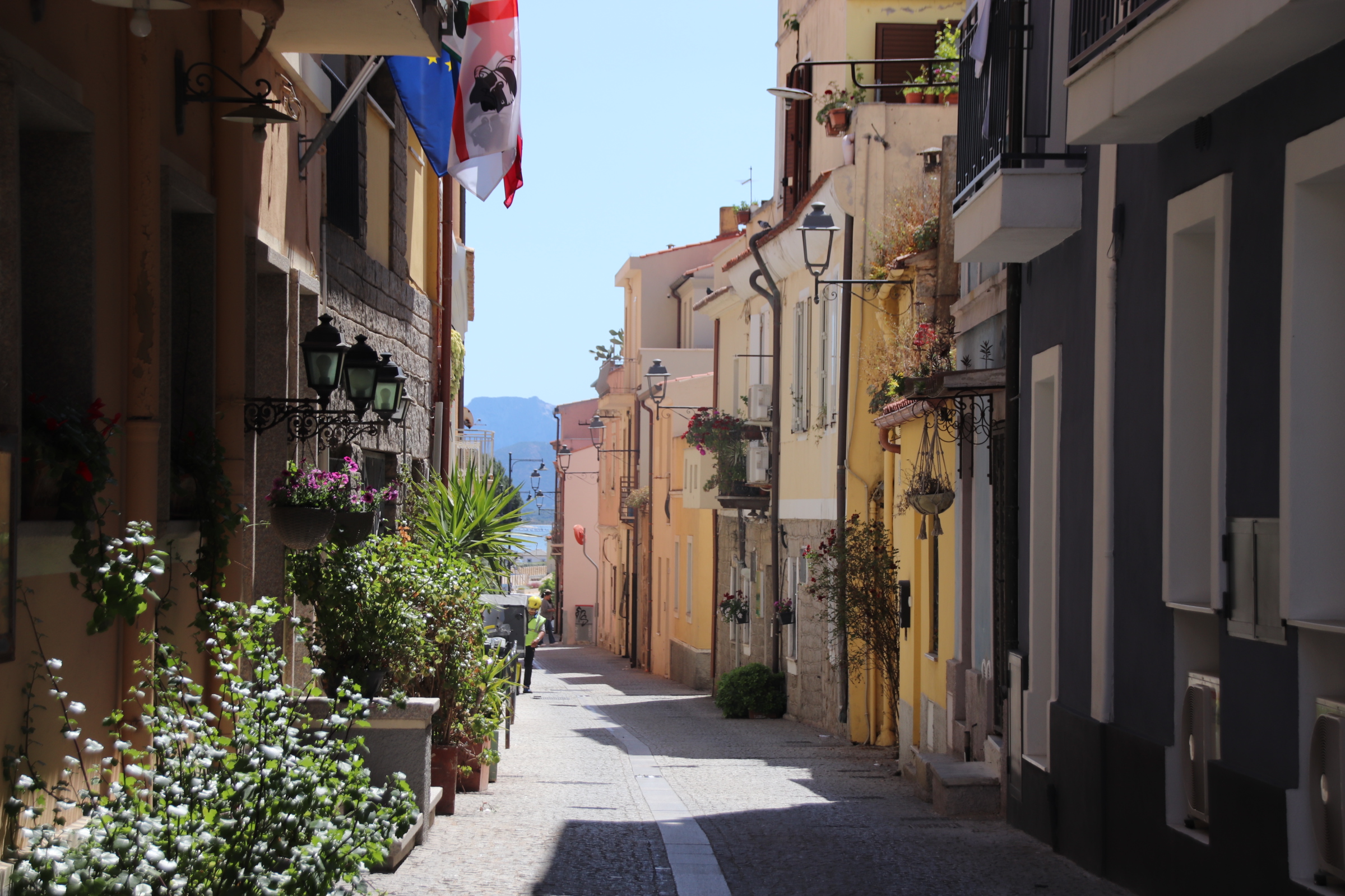
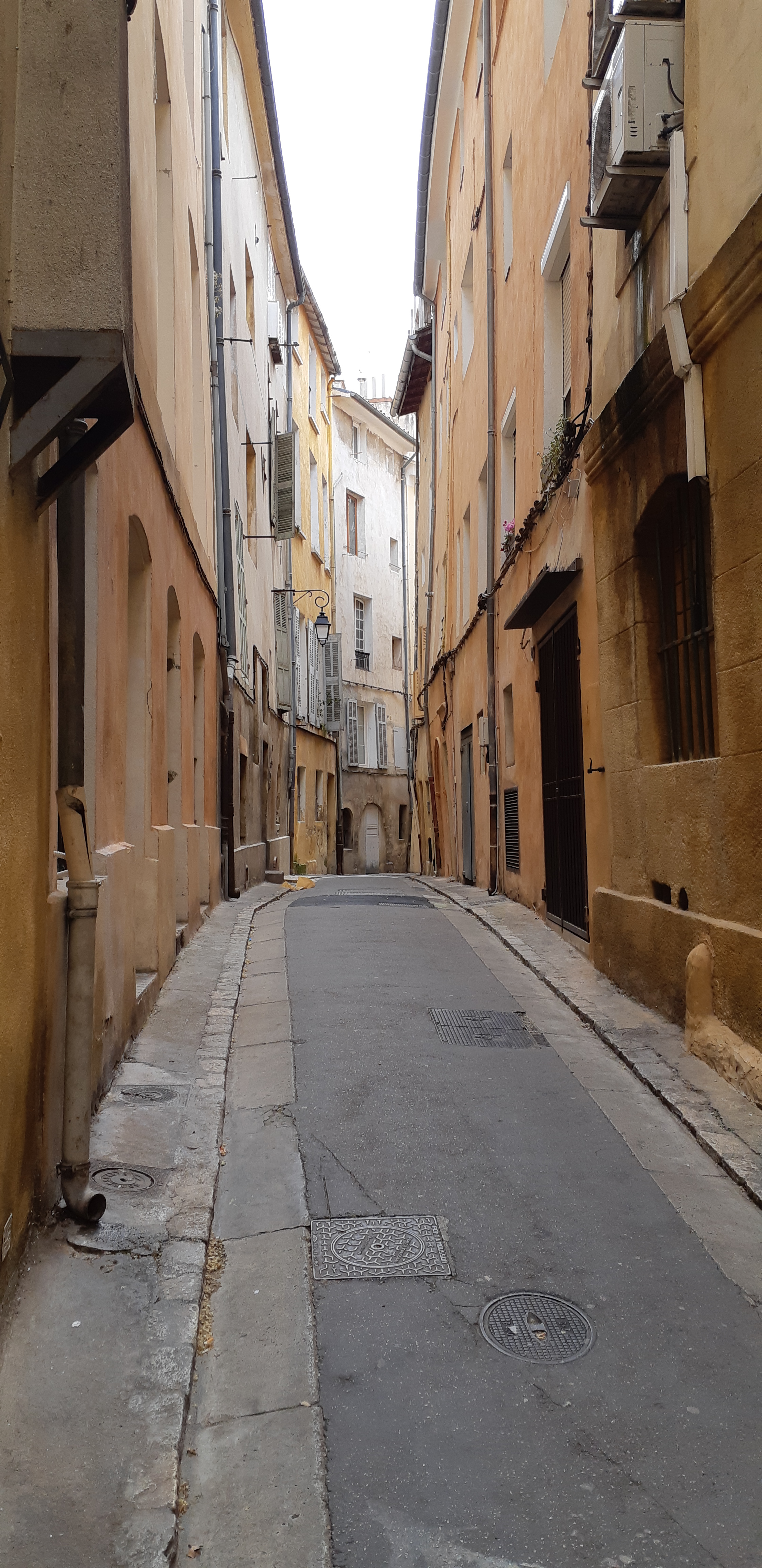
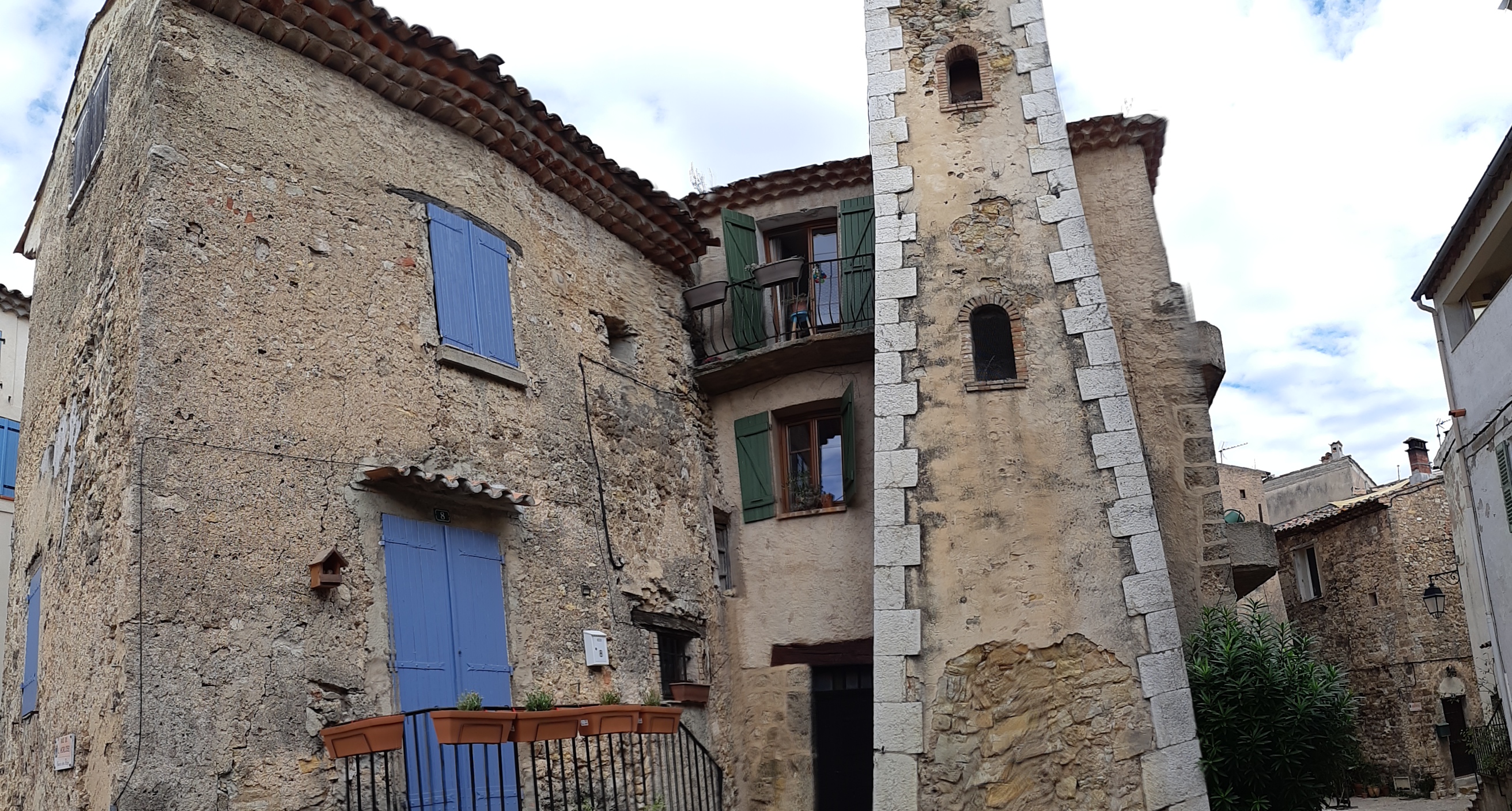
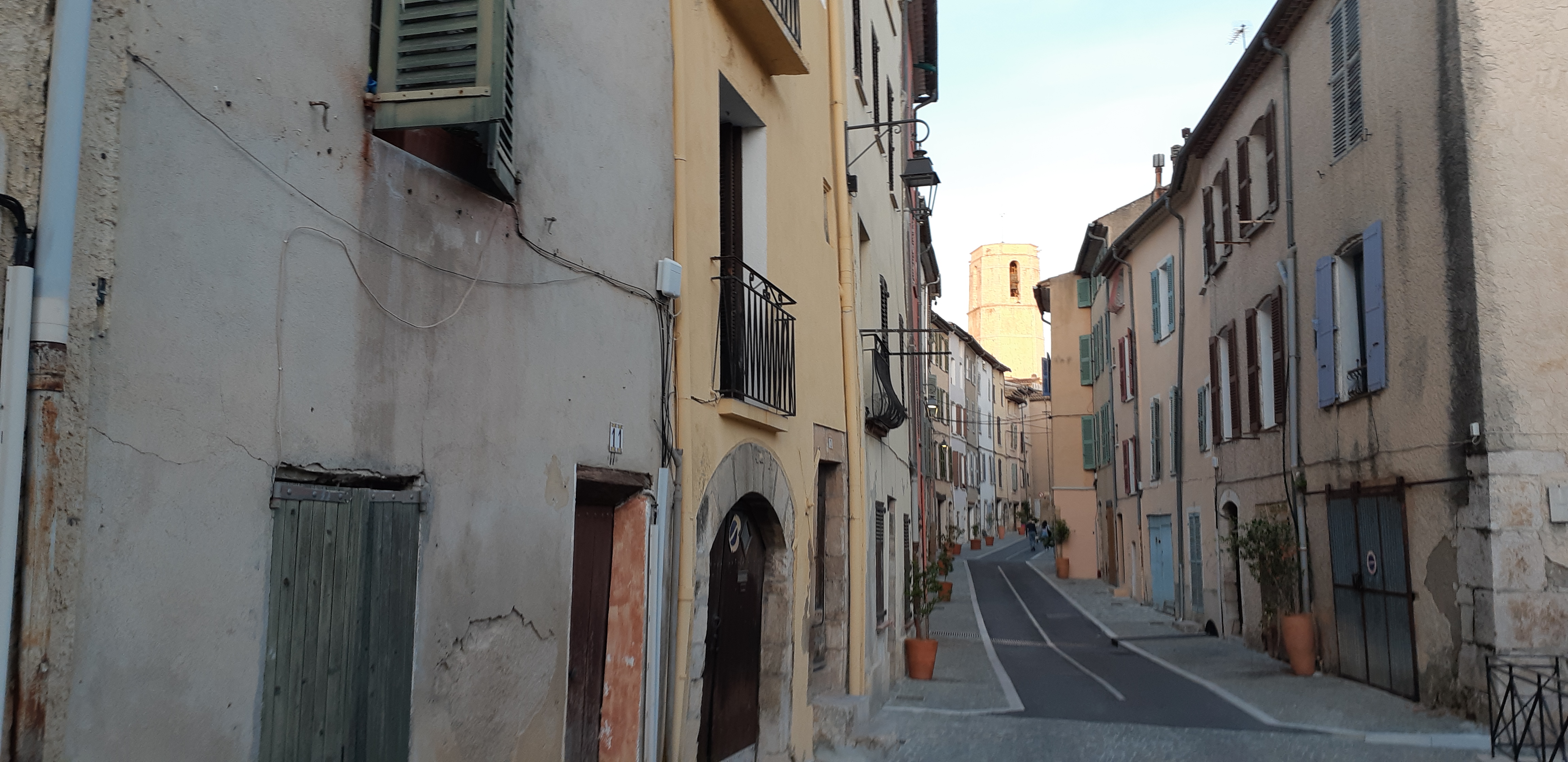
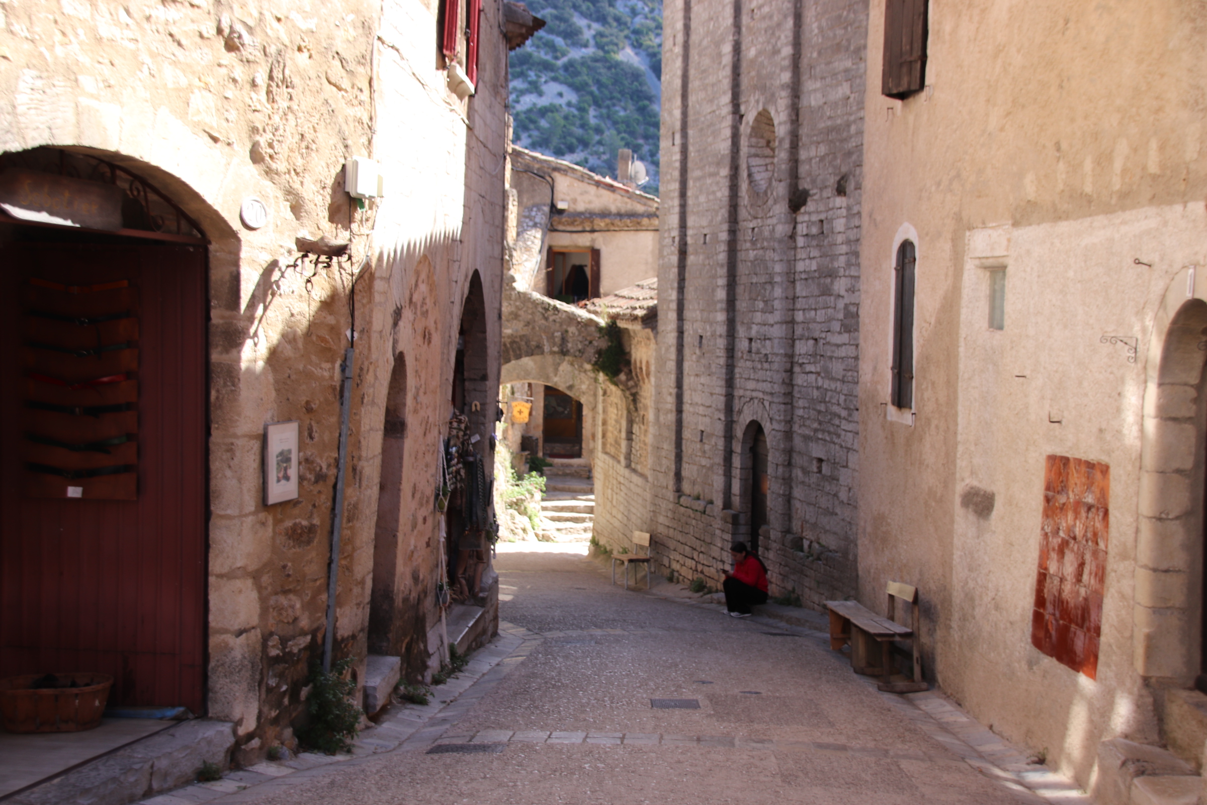
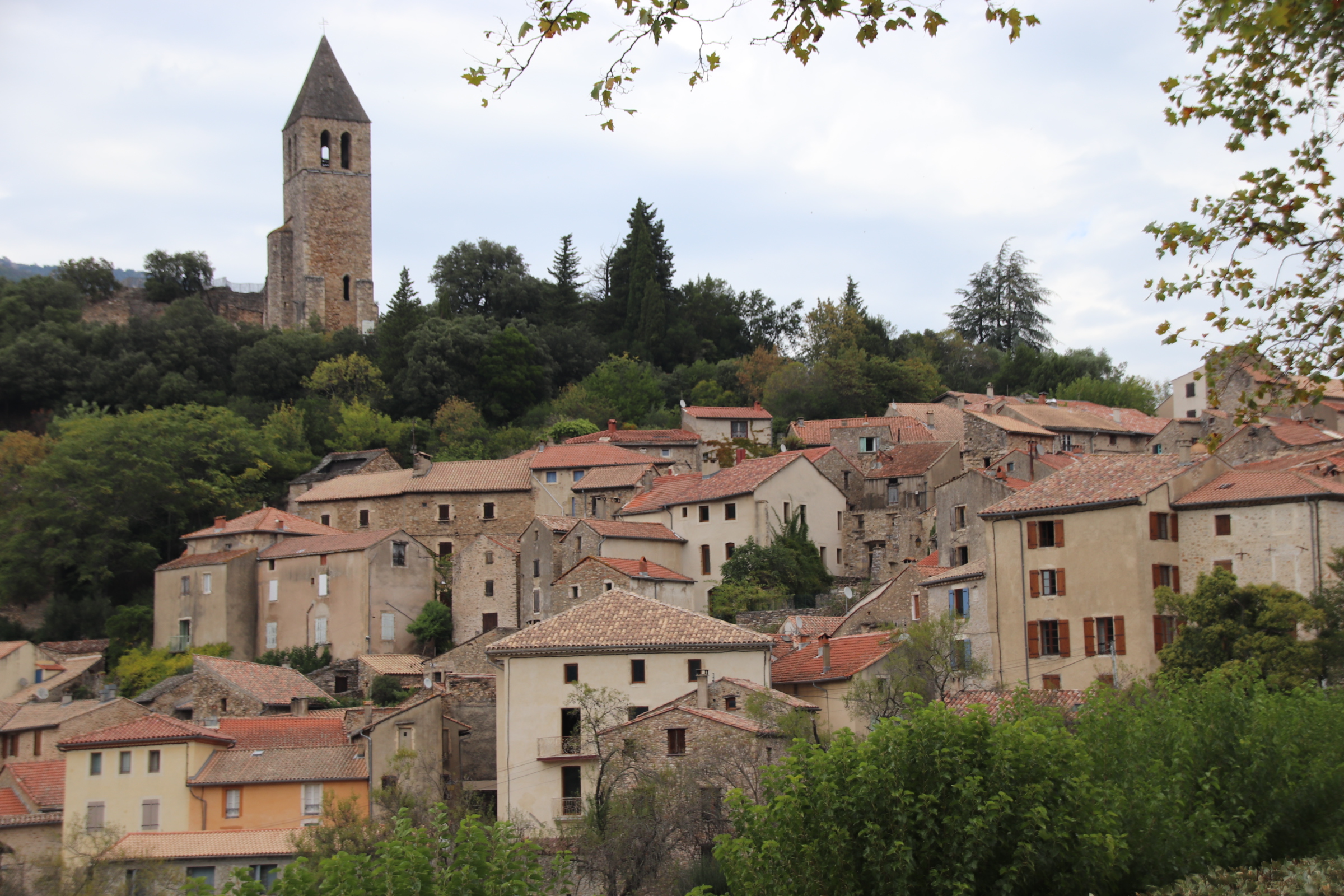
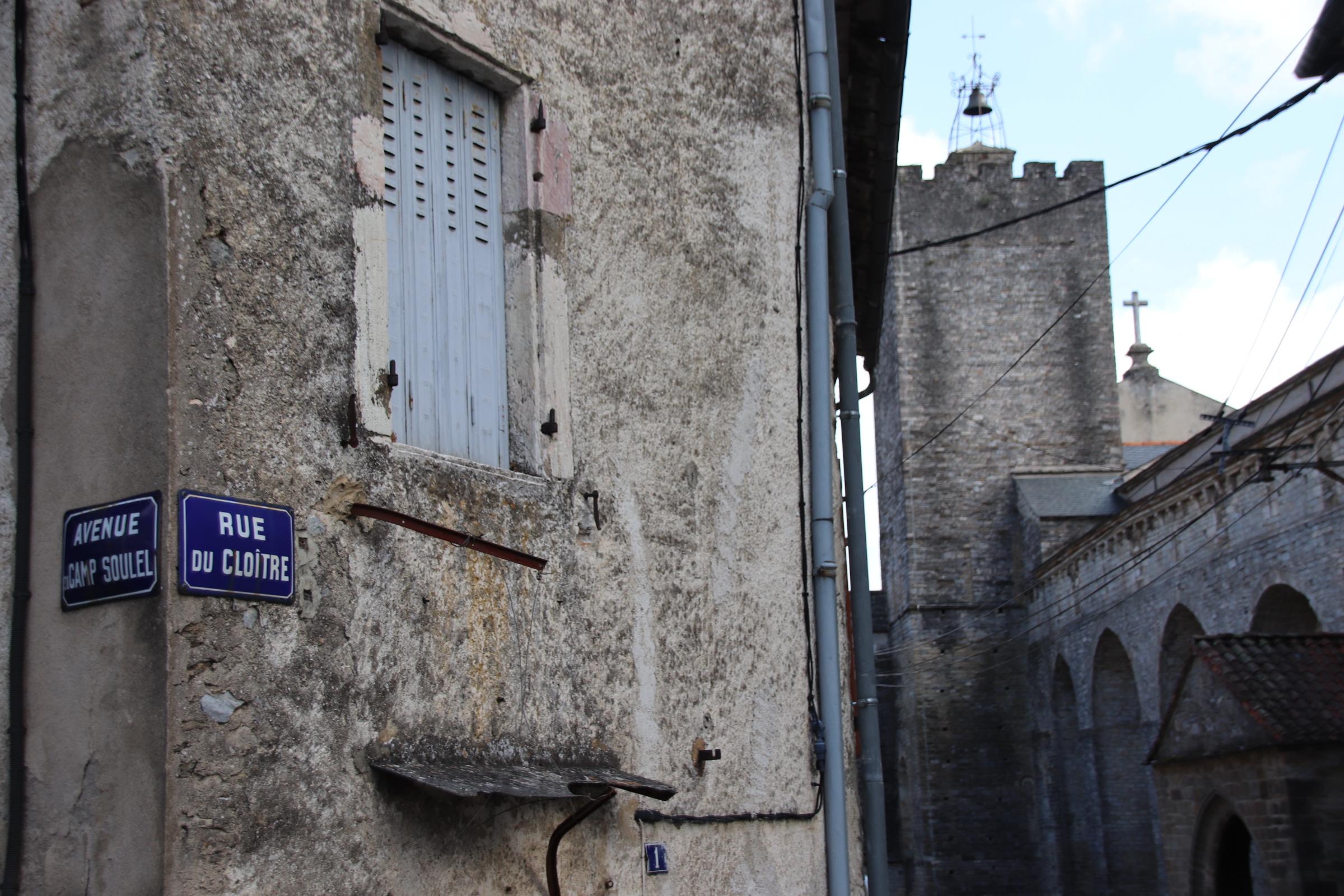
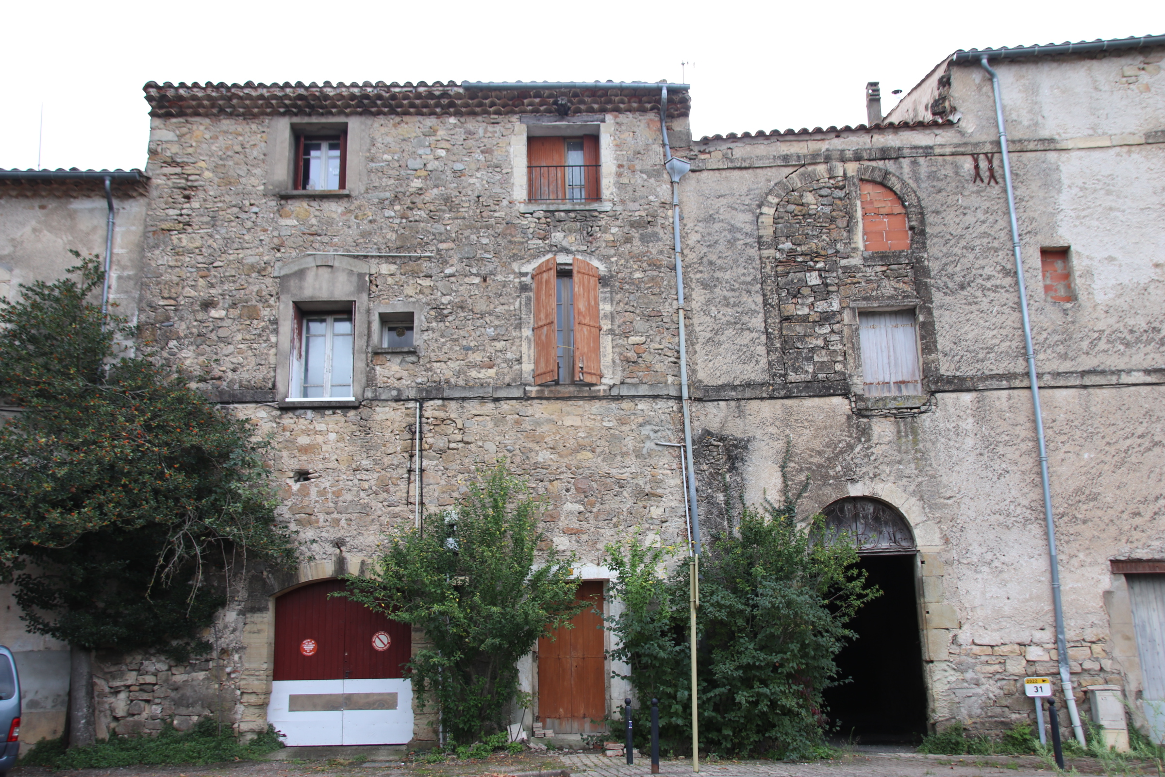
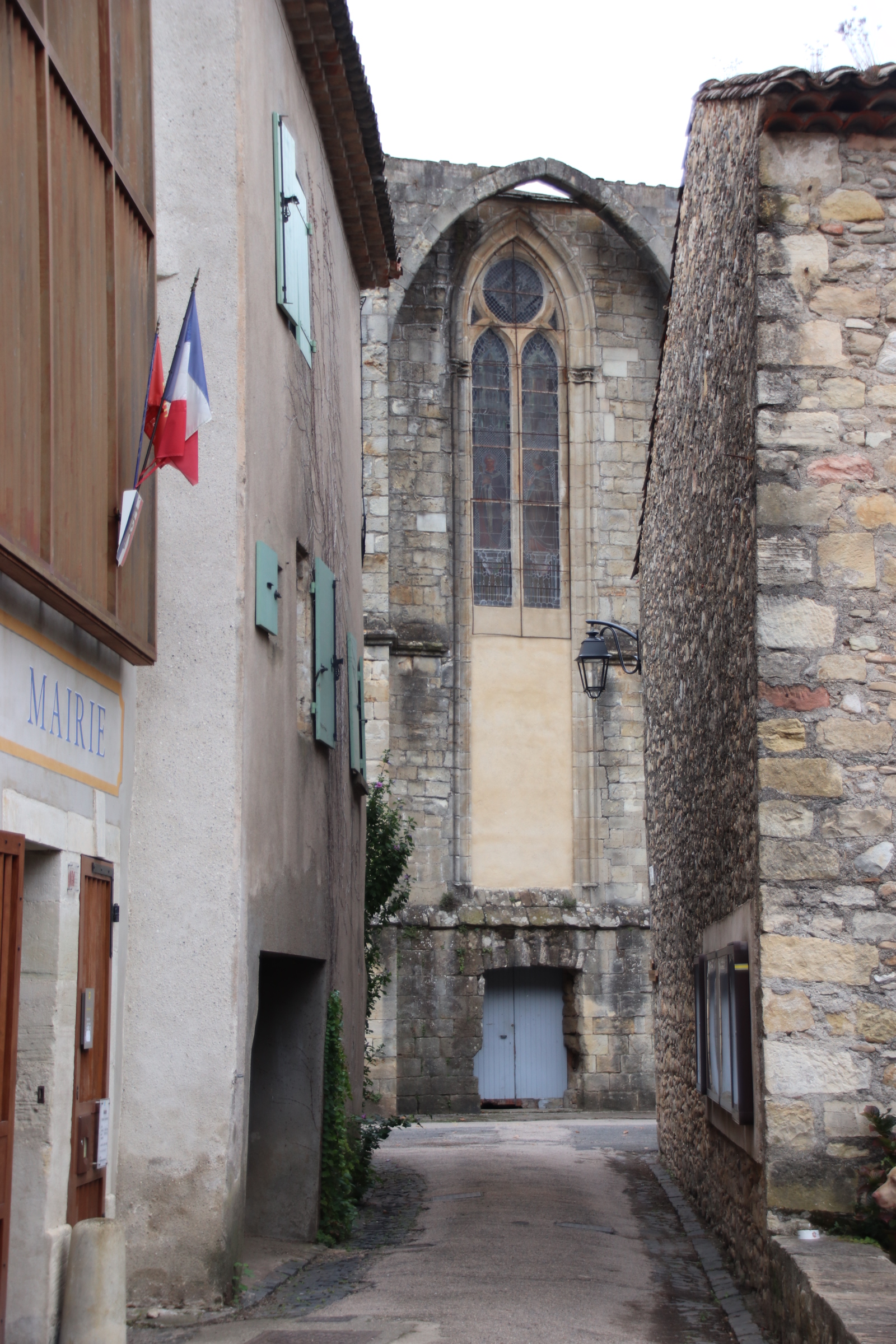
The original, medieval village of Gessopalena lies on a high, sharp ridge.
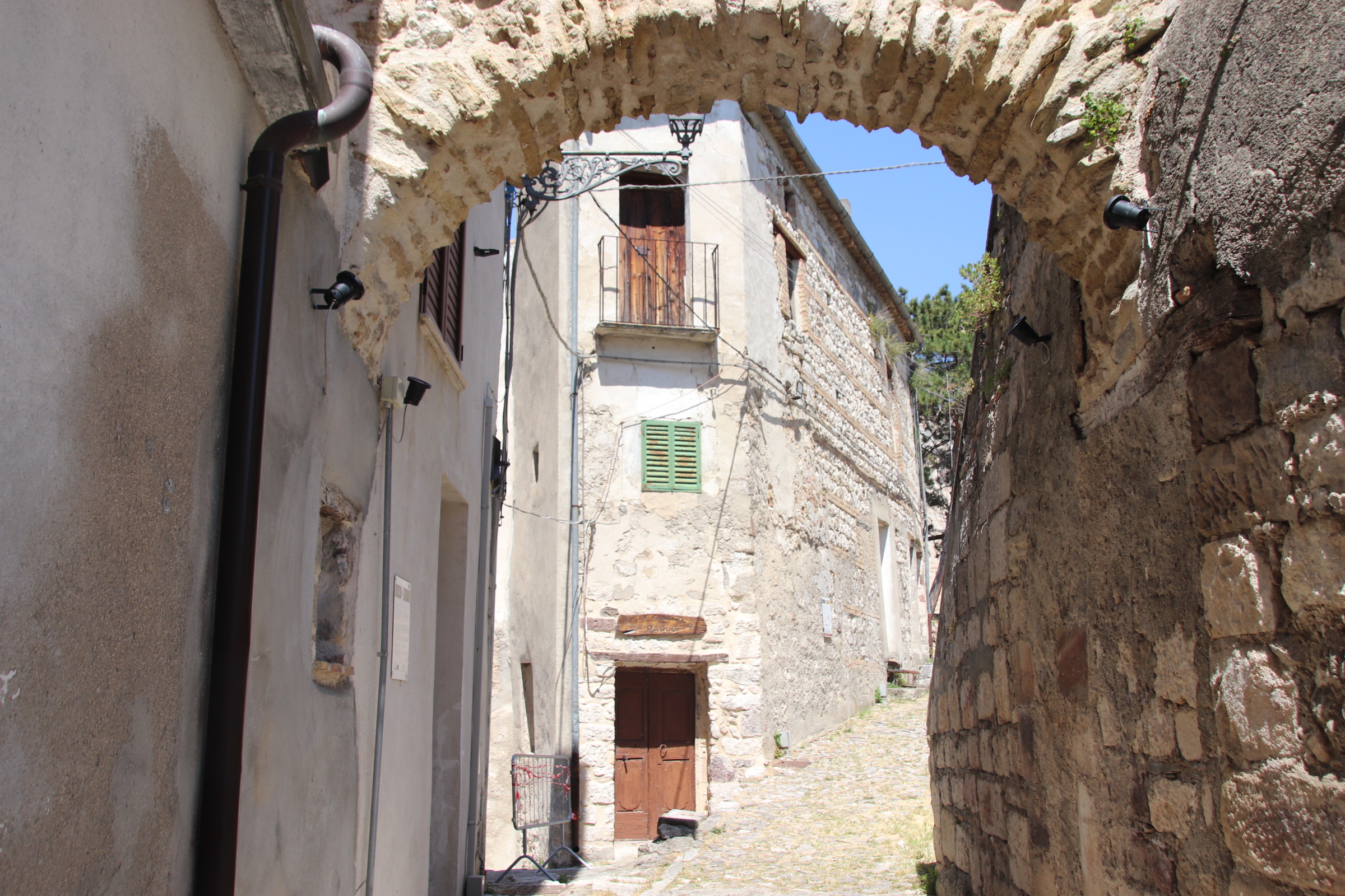
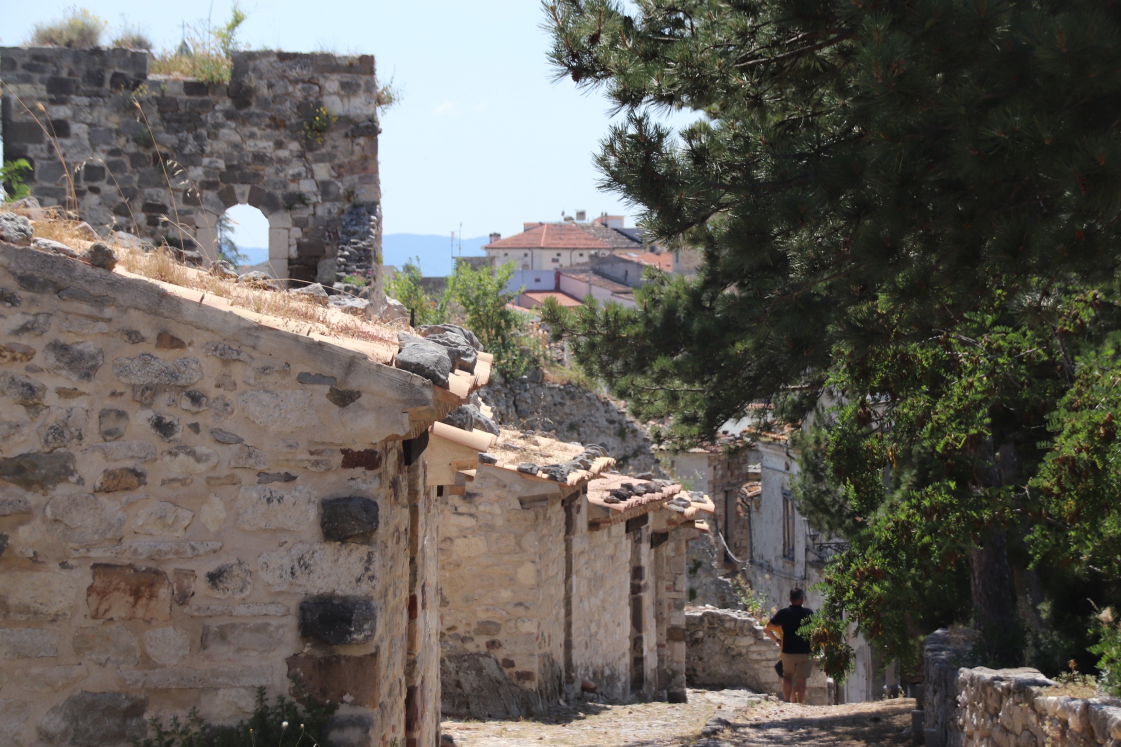
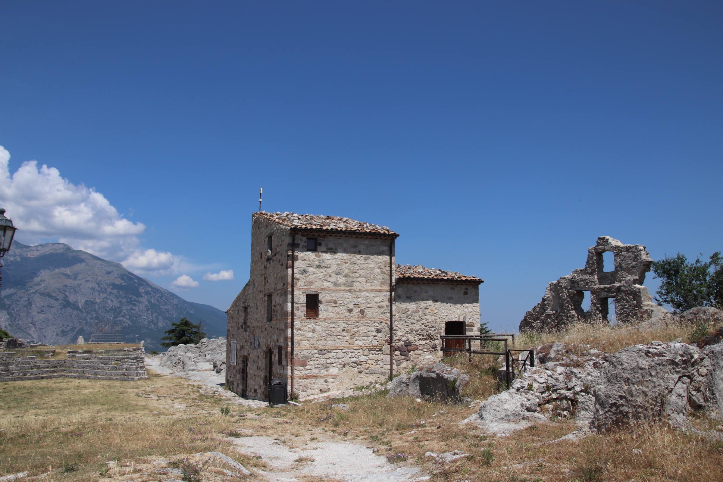
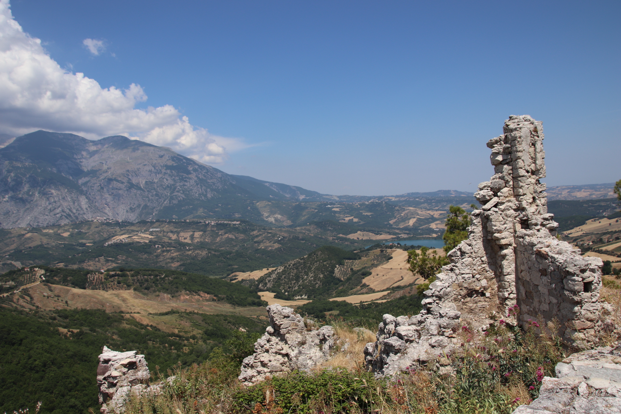
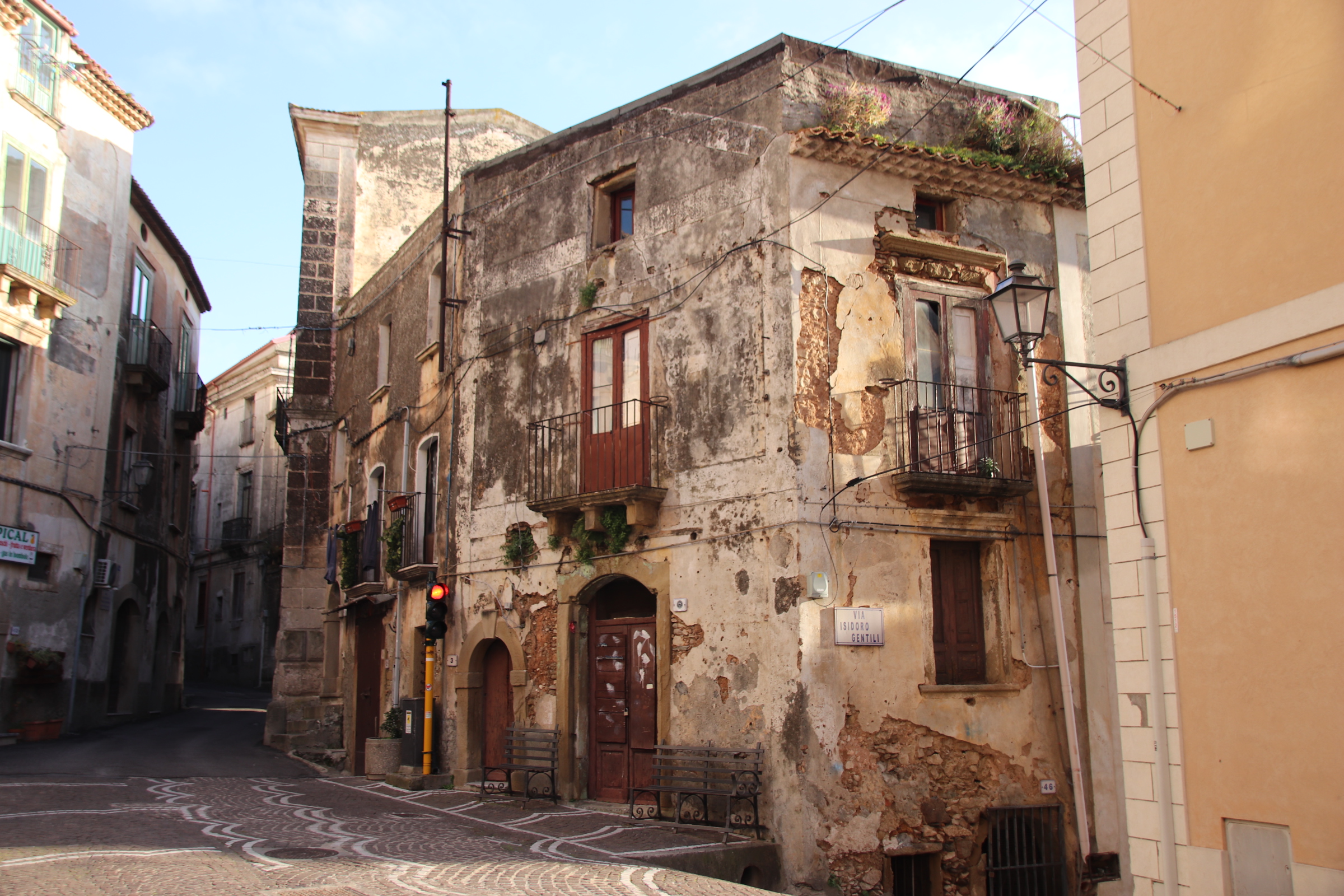
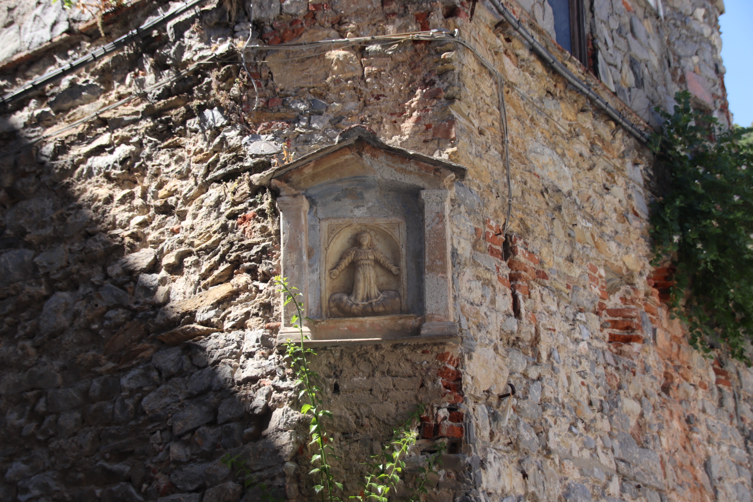
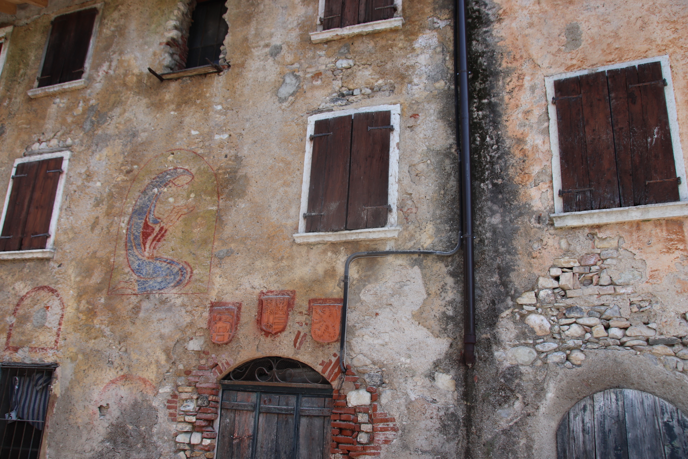
With 360° views of the surrounding countryside, you can see why such a position was chosen in the 9th century. Much of this ancient settlement remains with ruins of homes & farms & businesses, a wine press & a bakery, still operating in the 1960s. During WWII it was the scene of serious clashes between the Allies who had made their command centre in Casali & the Germans who had set a defensive line in the mountains. When the latter retreated they destroyed the village & local inhabitants who had allied with the invaders.
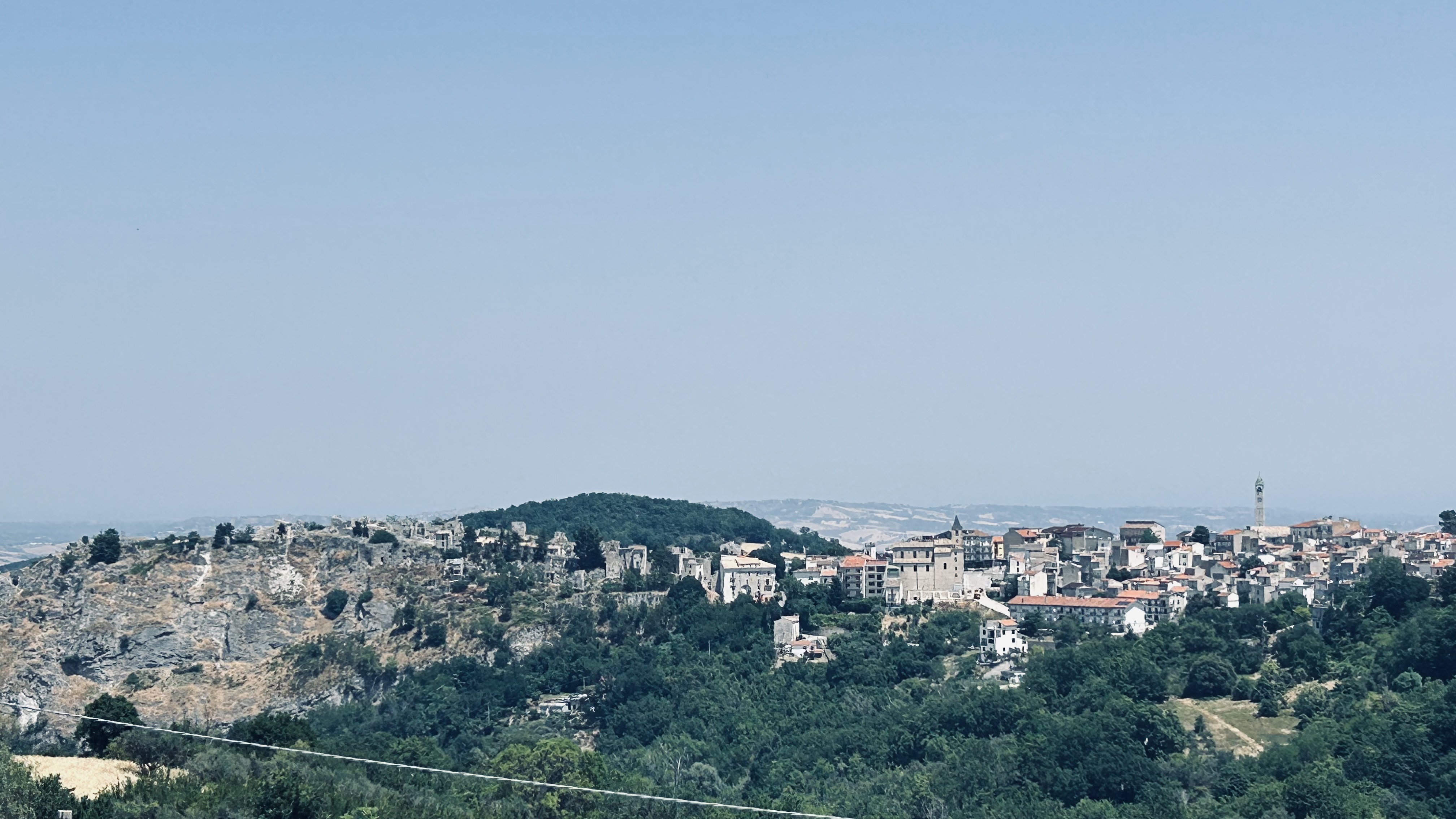
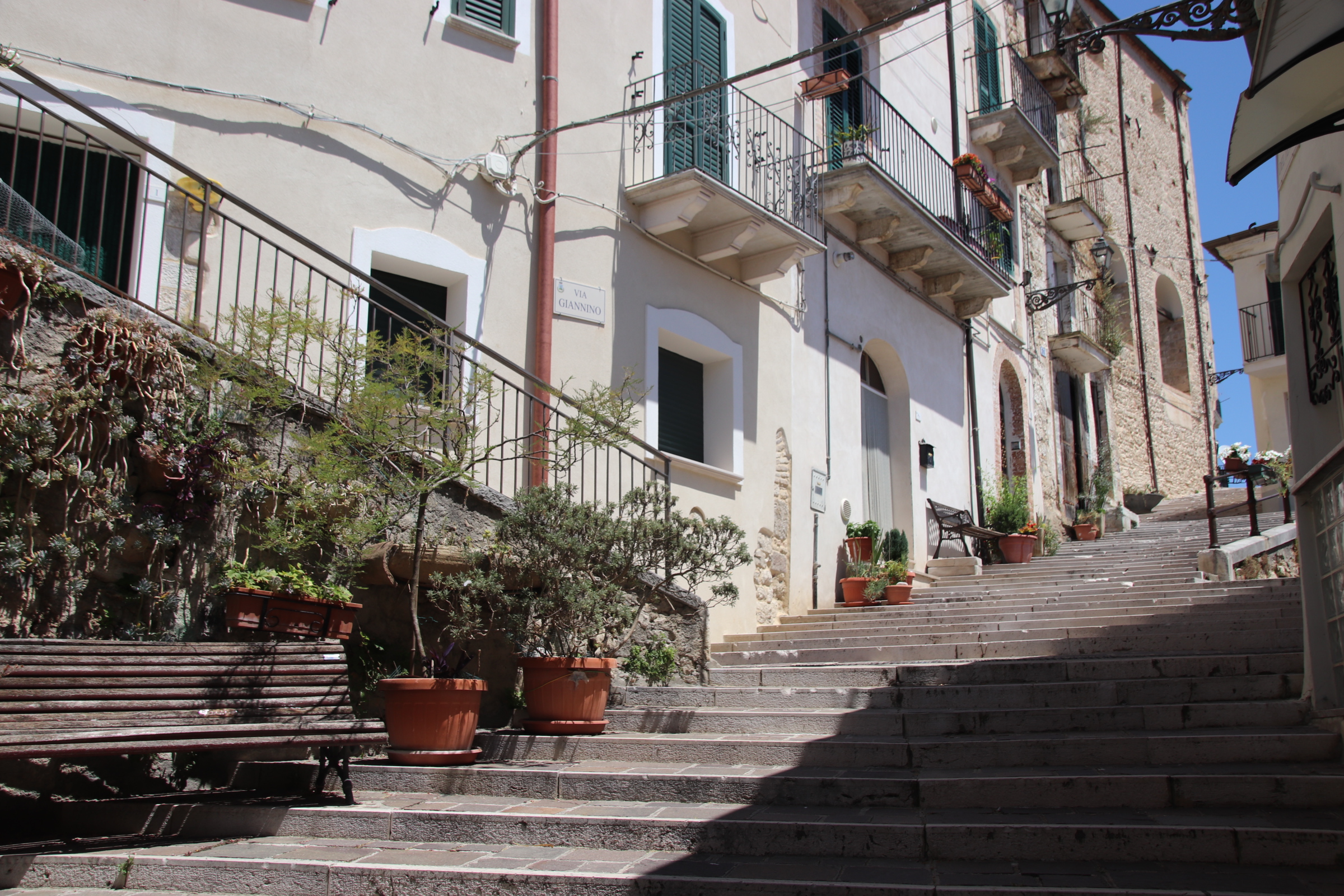
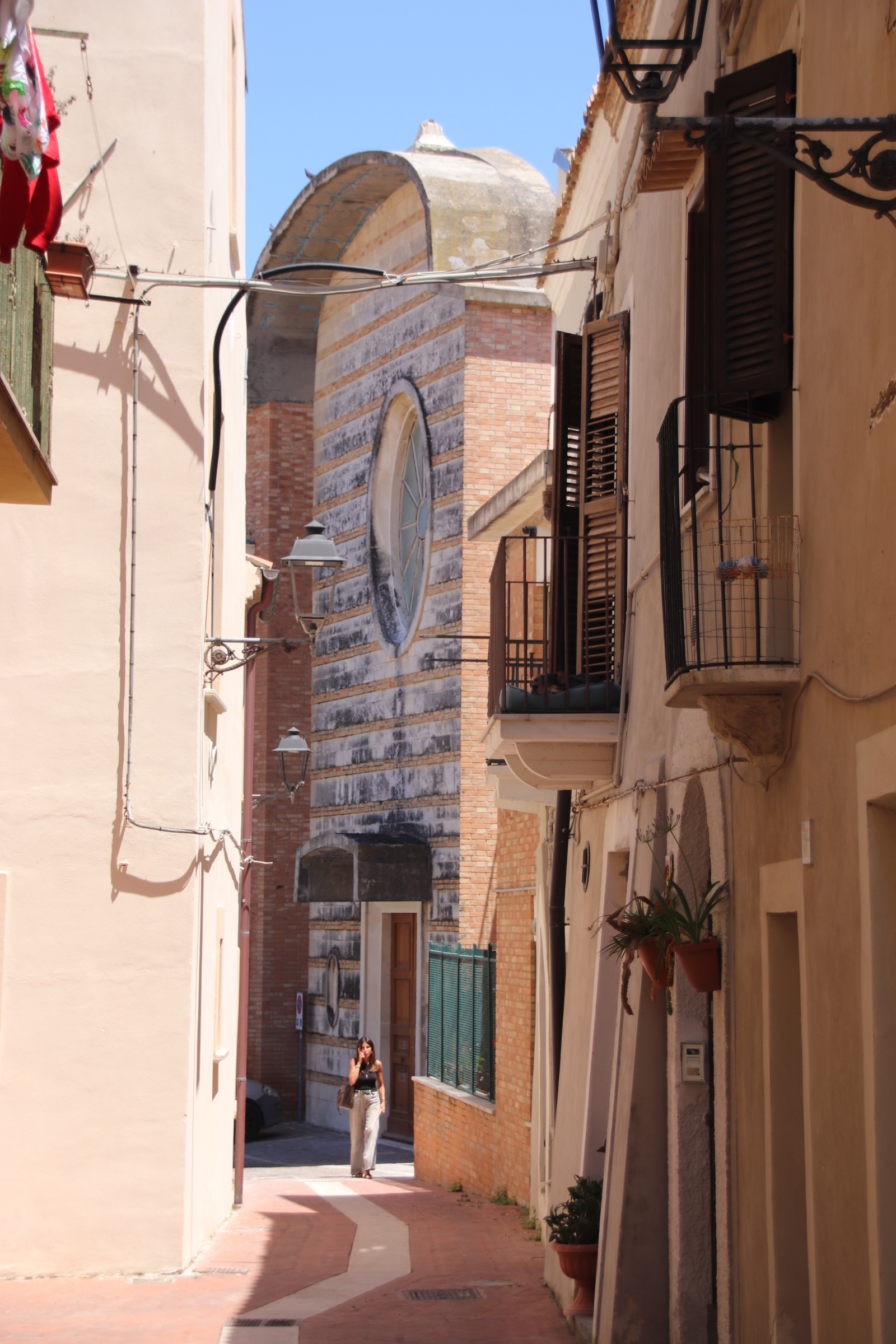
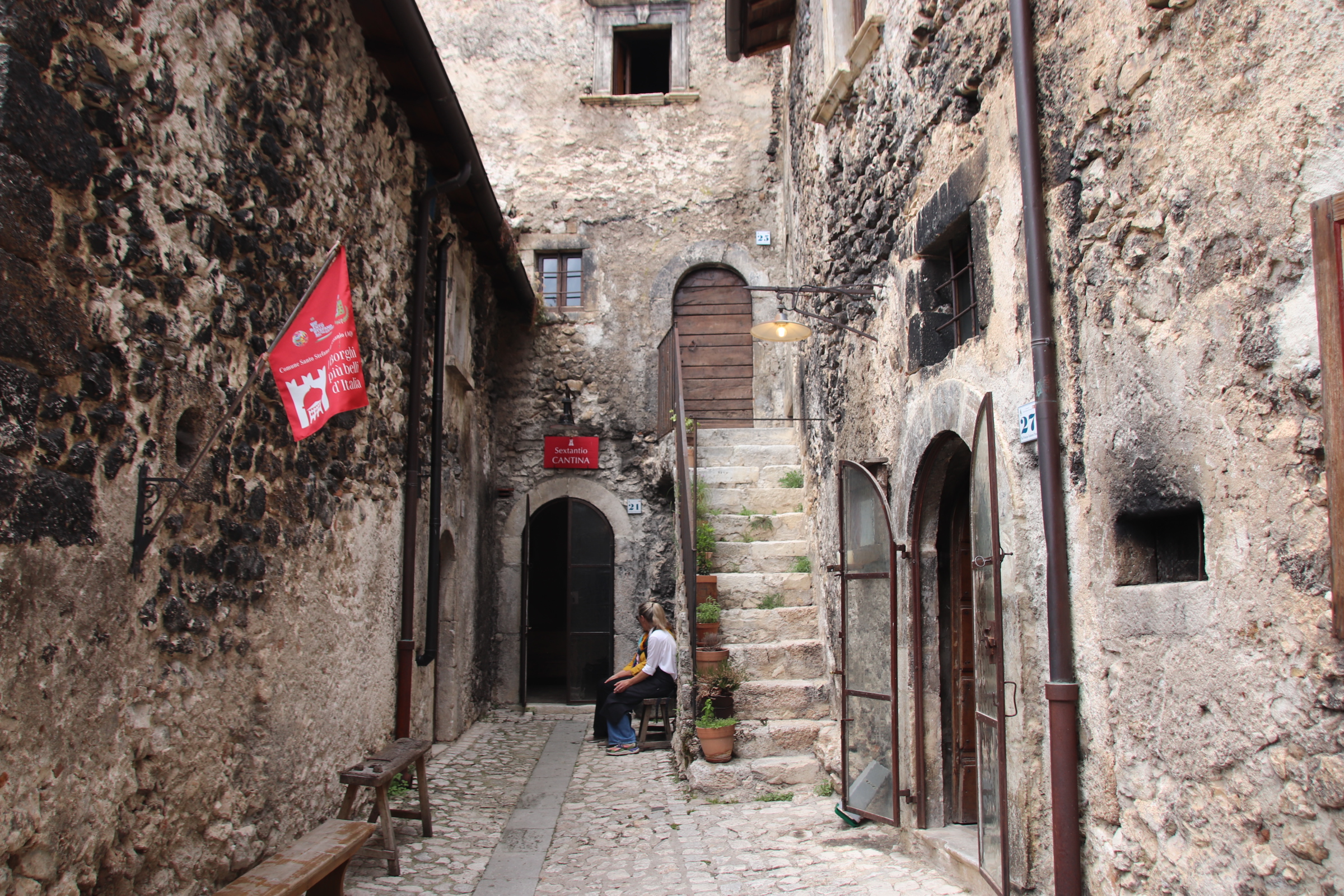
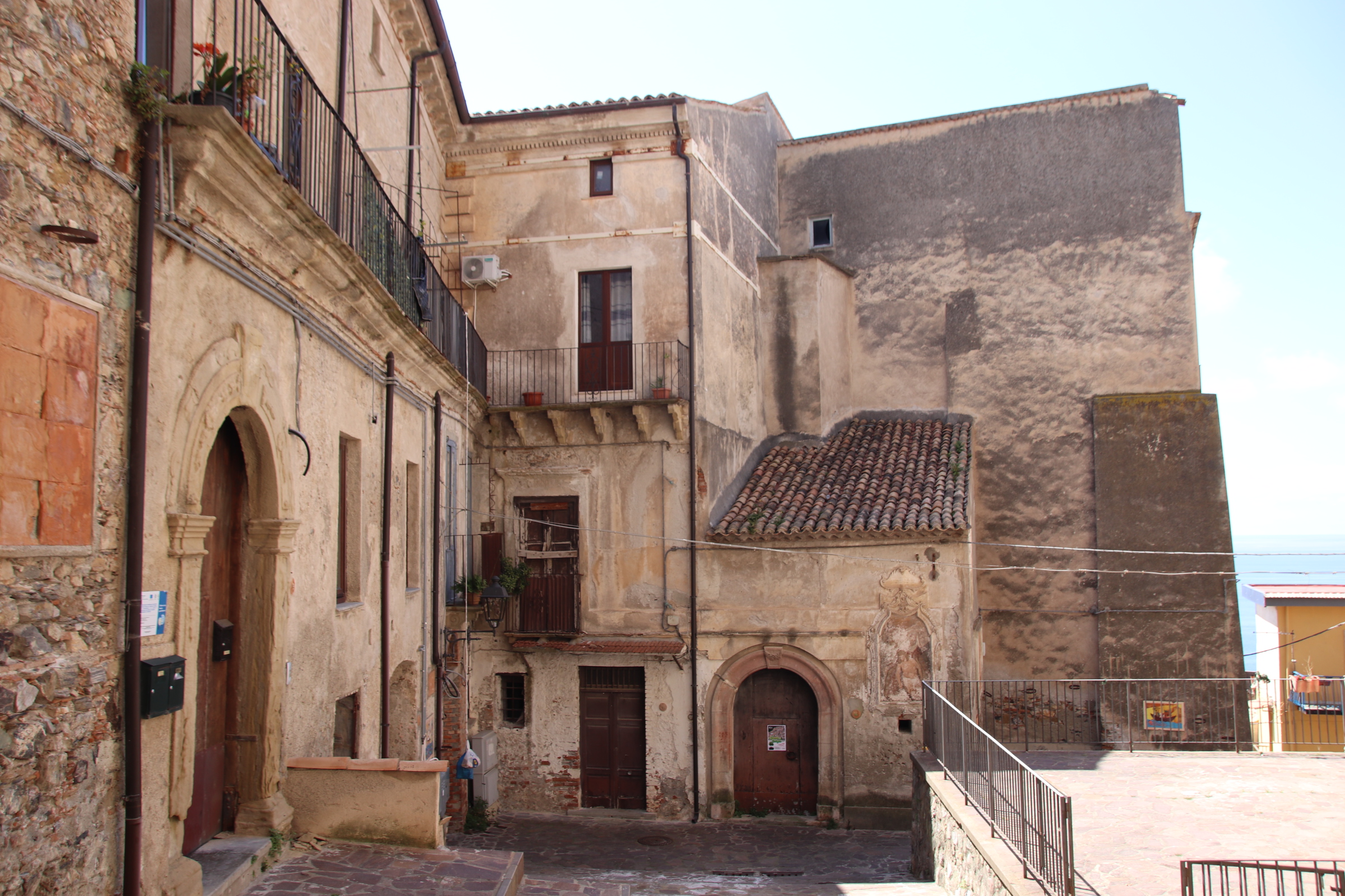
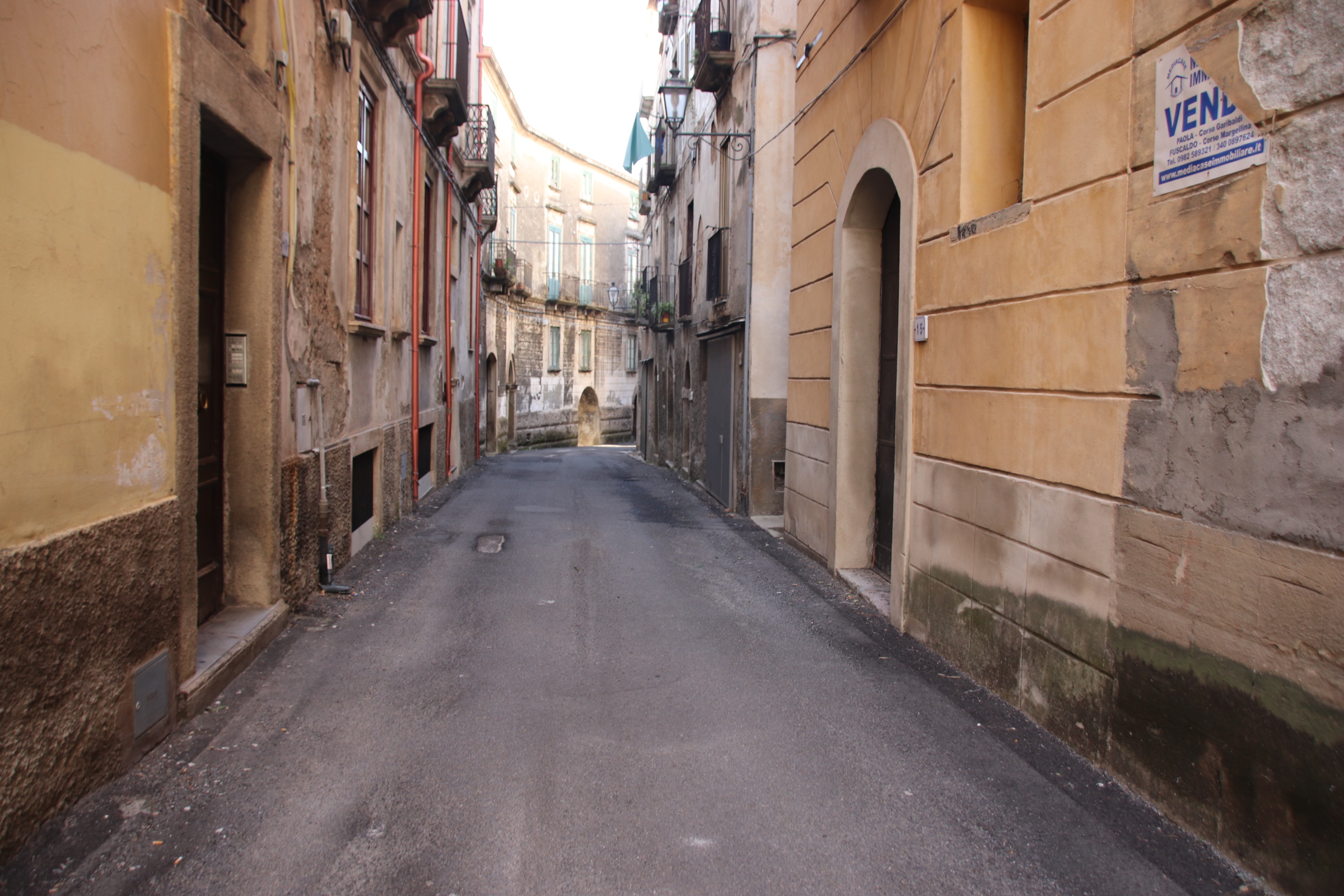
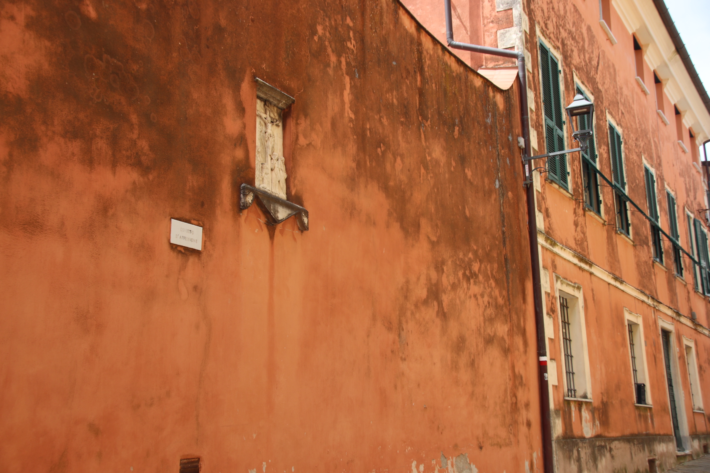
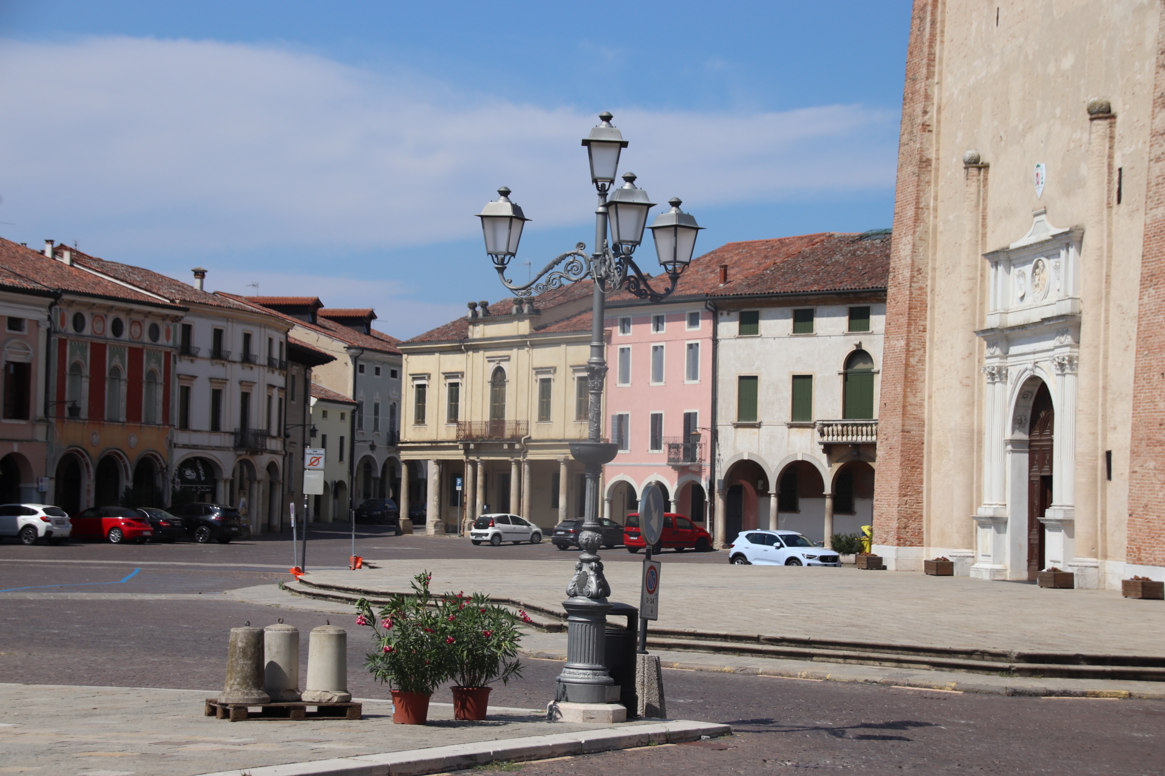
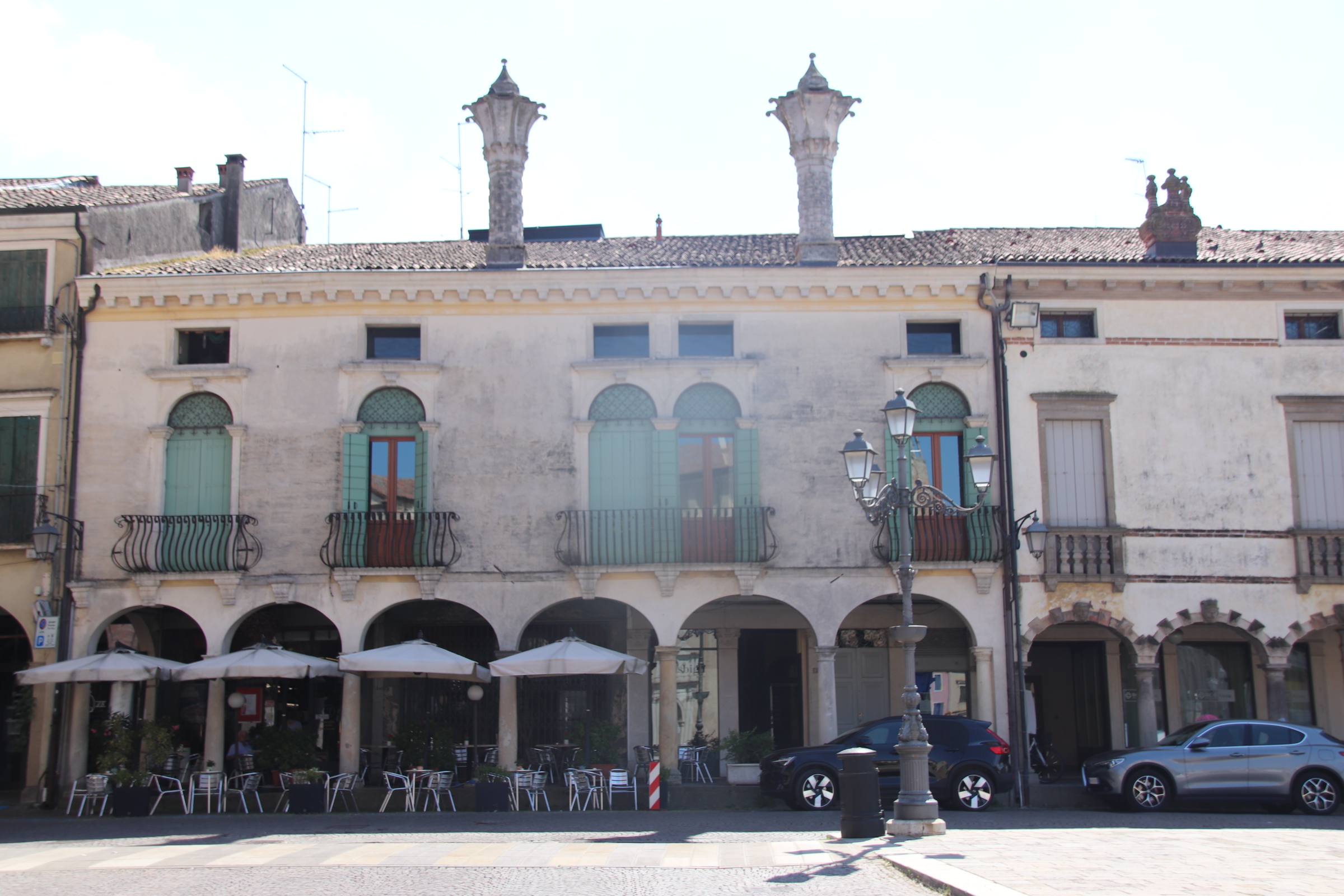
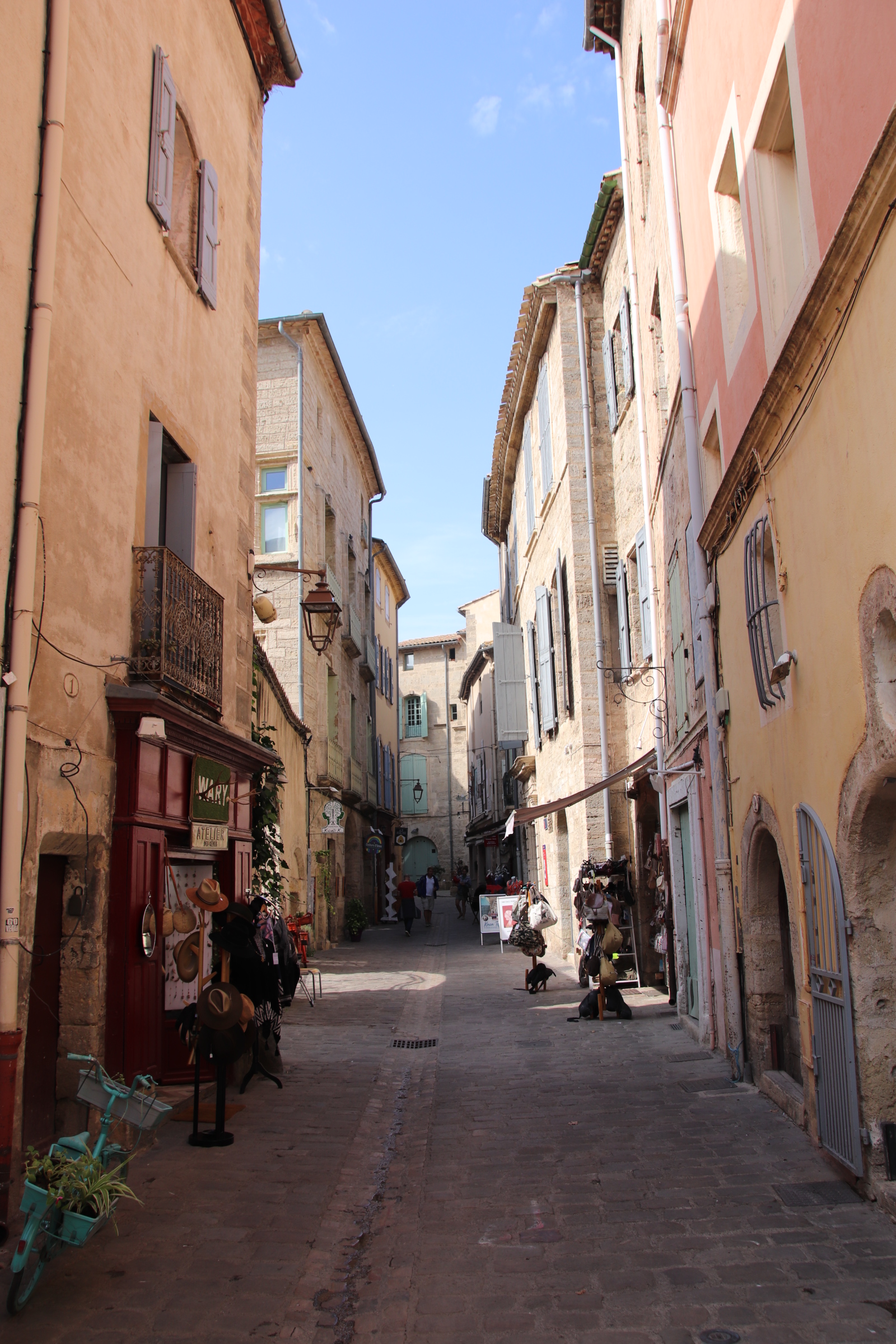
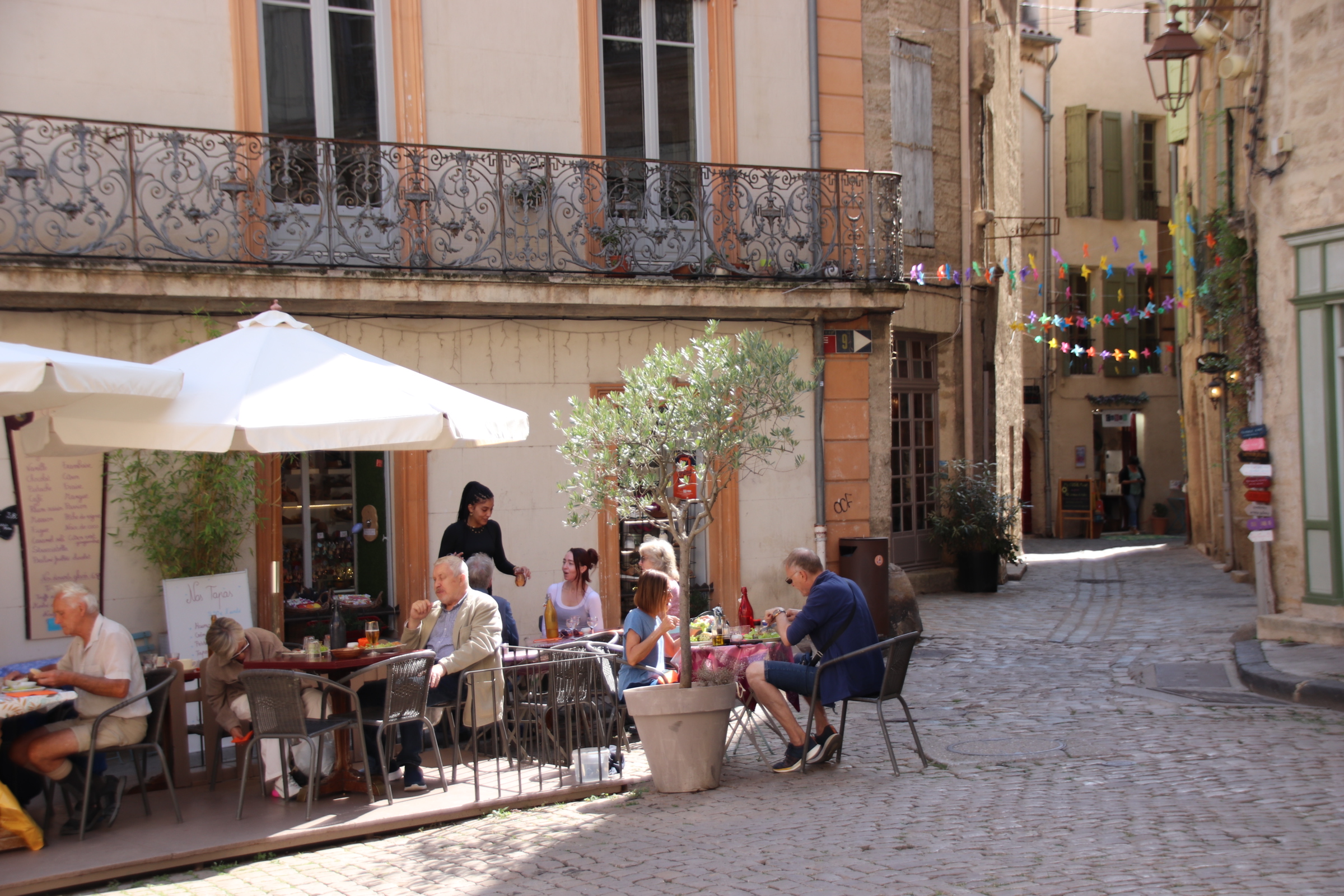
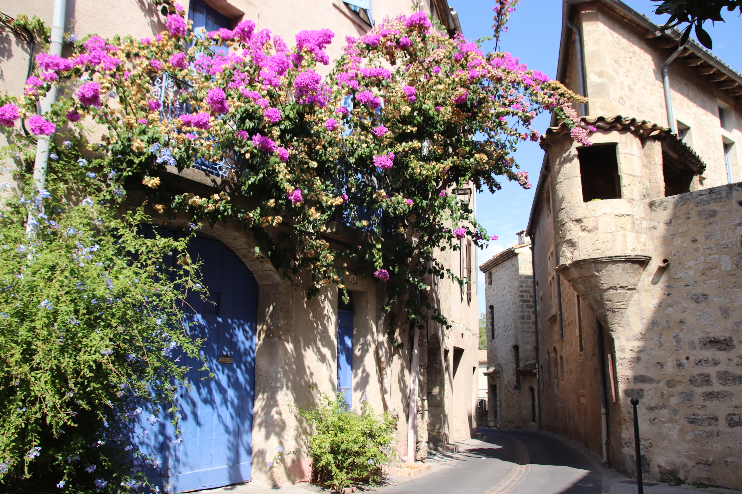
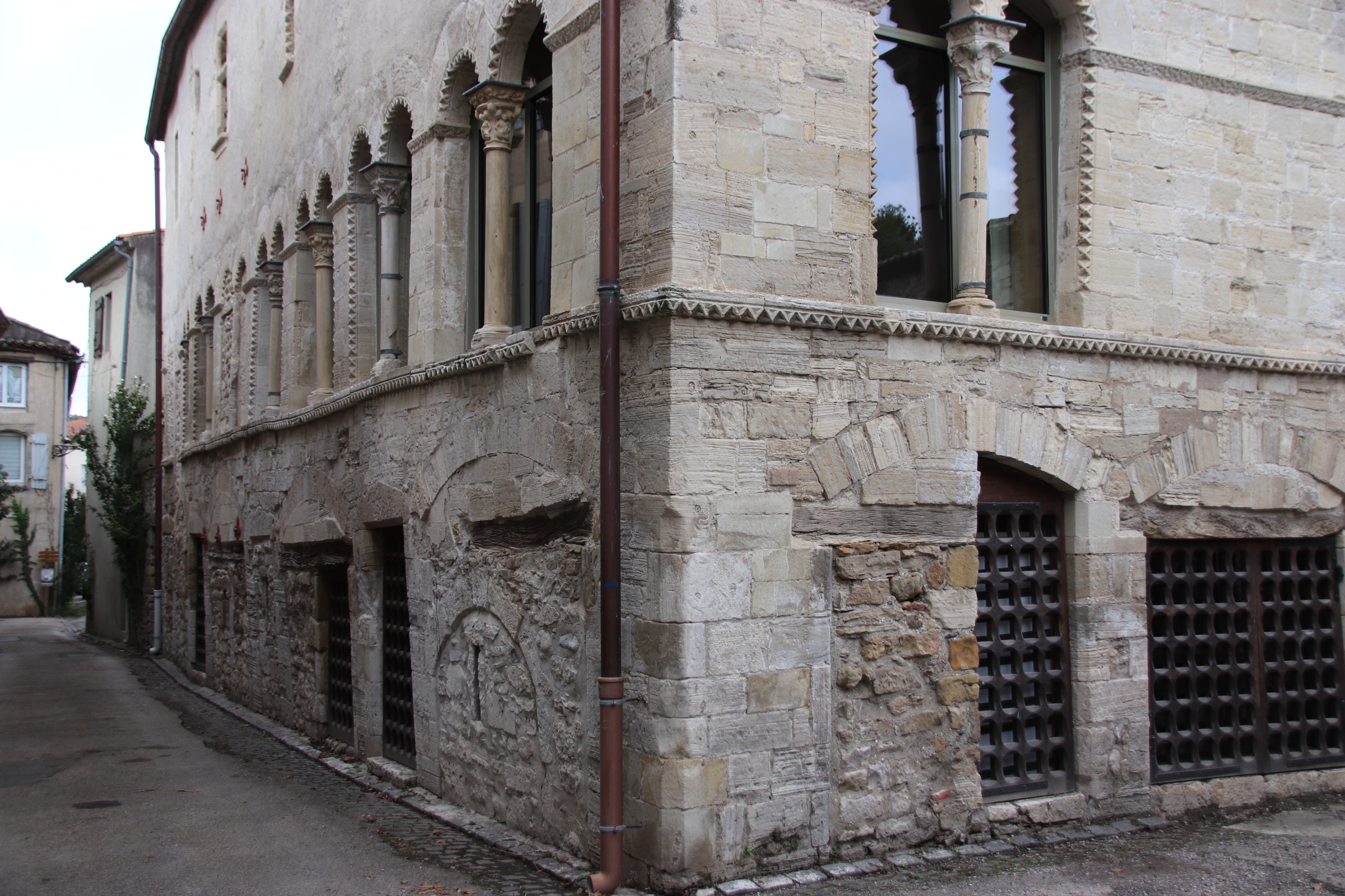
A new town has emerged next door, but the dusty ruins of another time still remain.
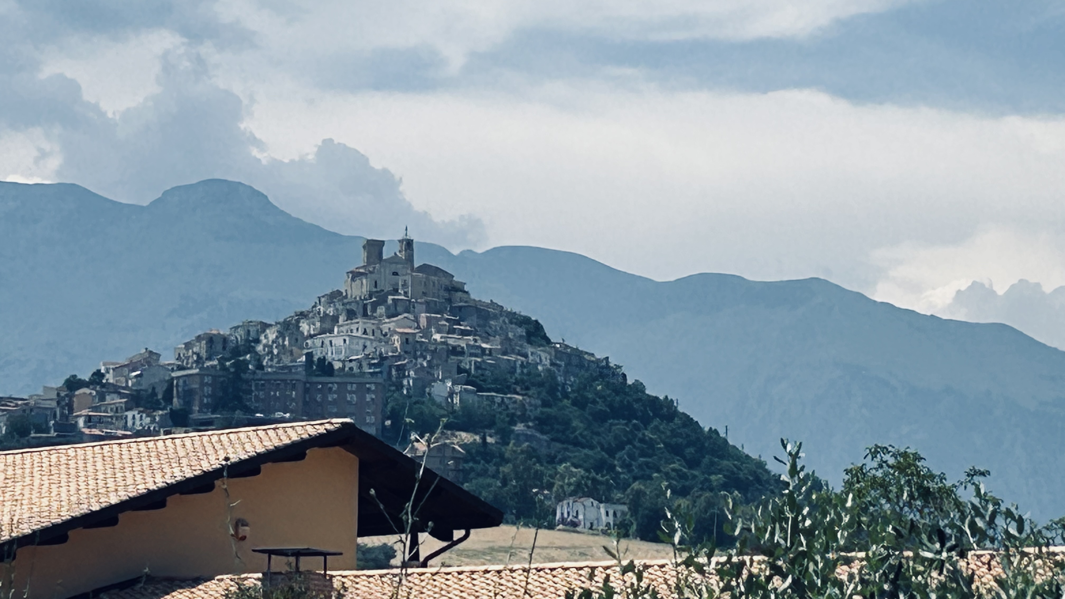
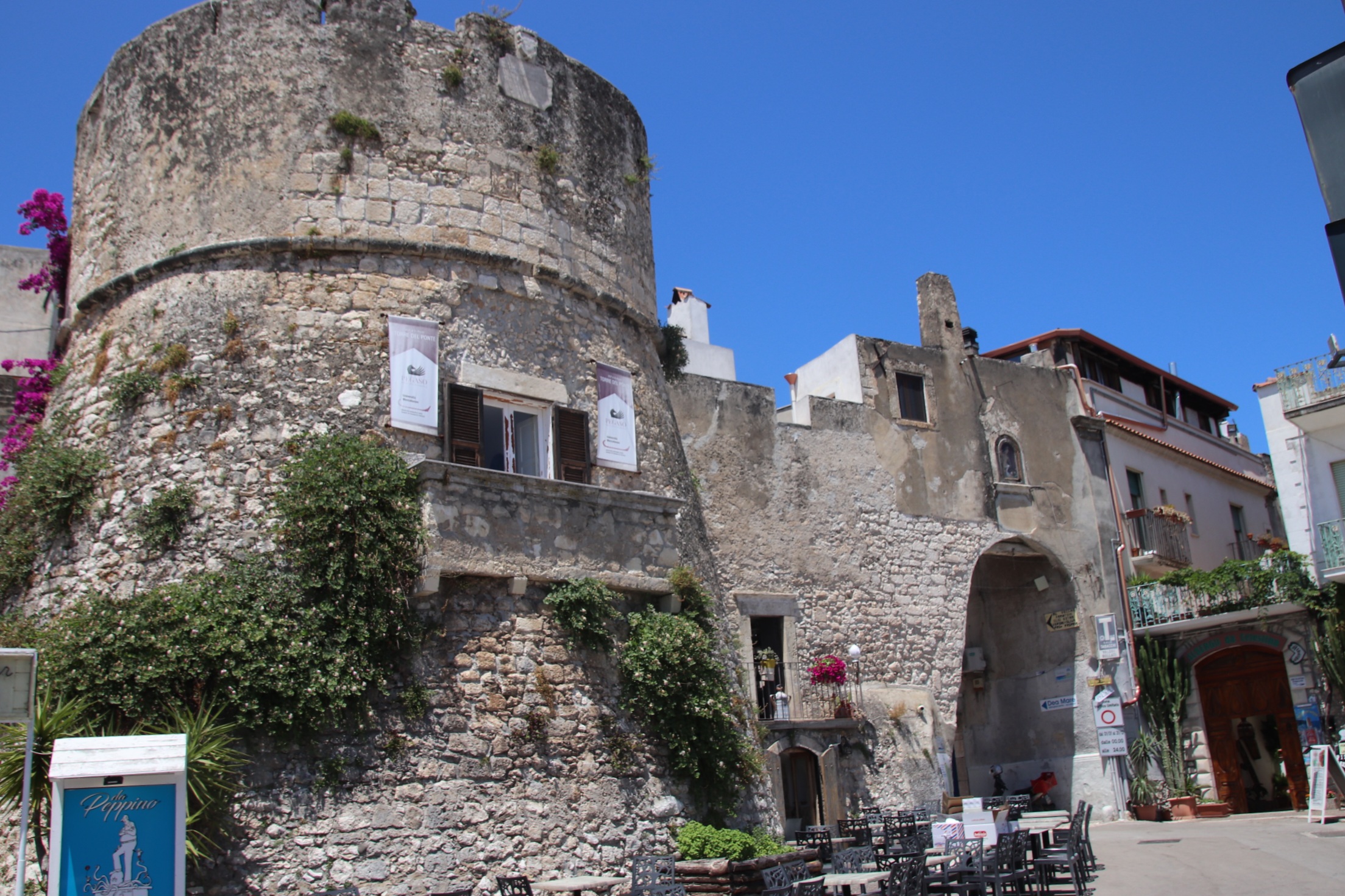
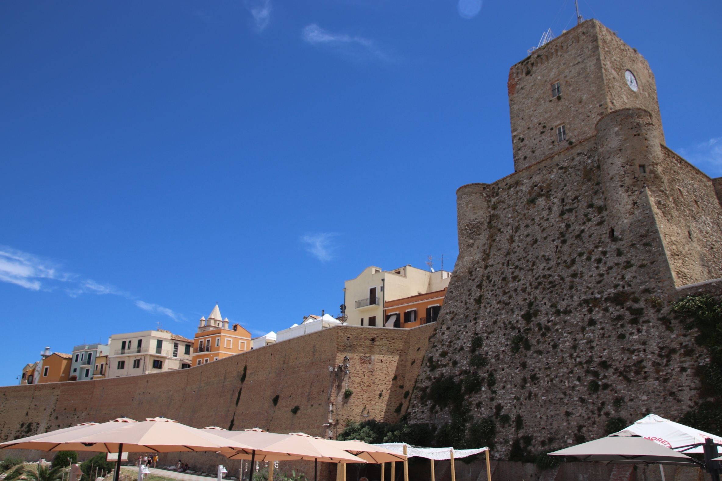
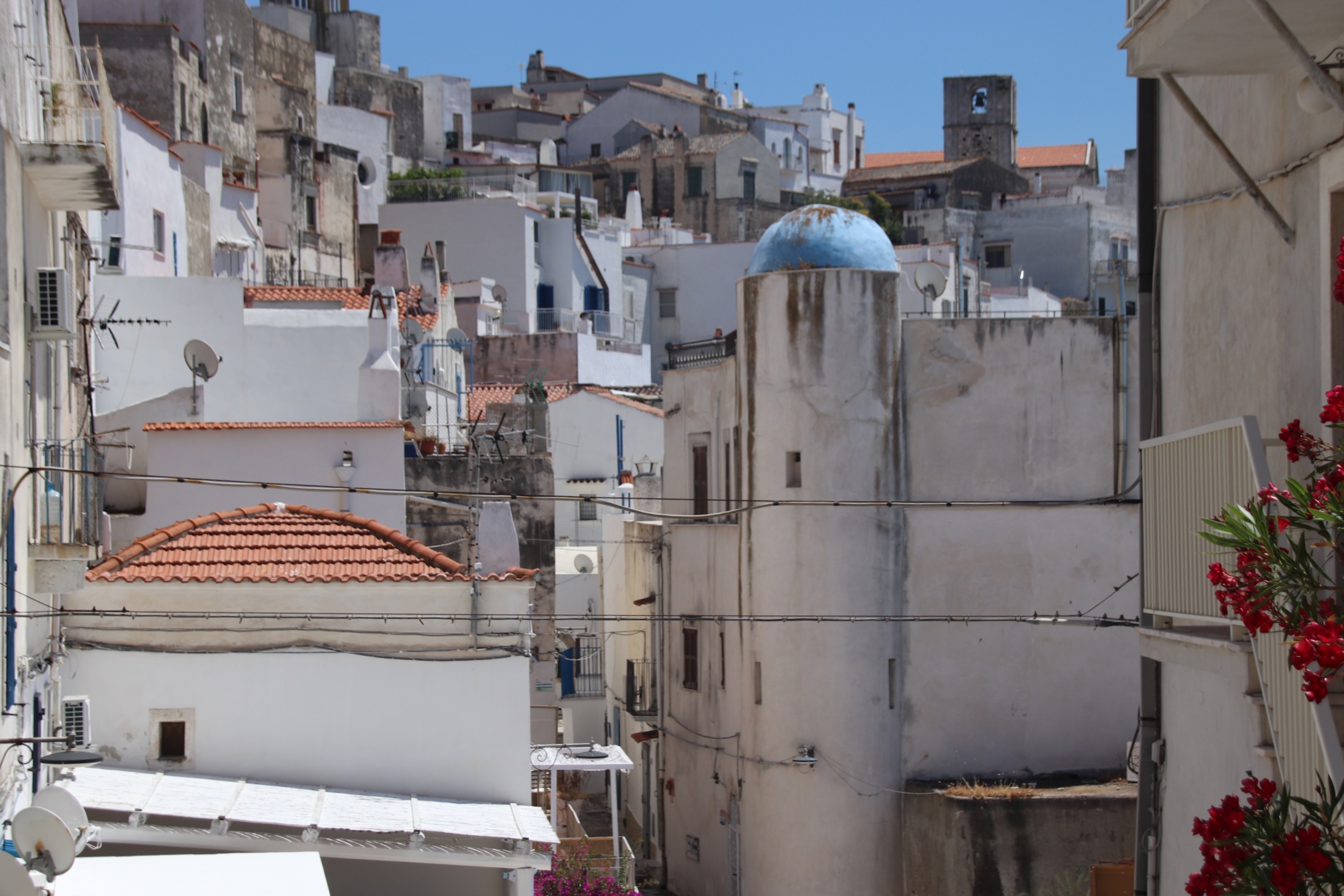
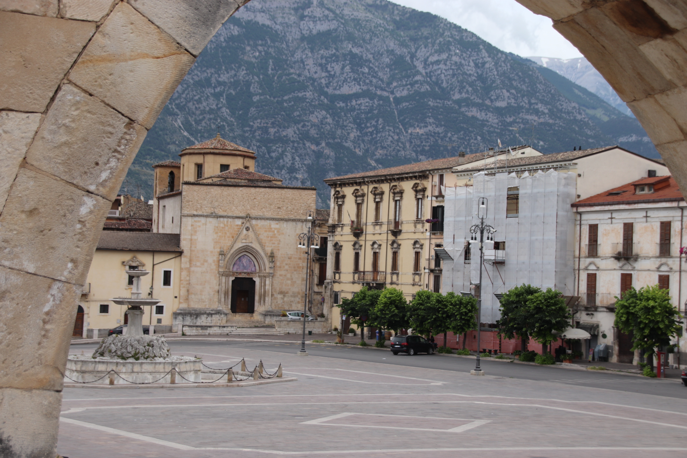
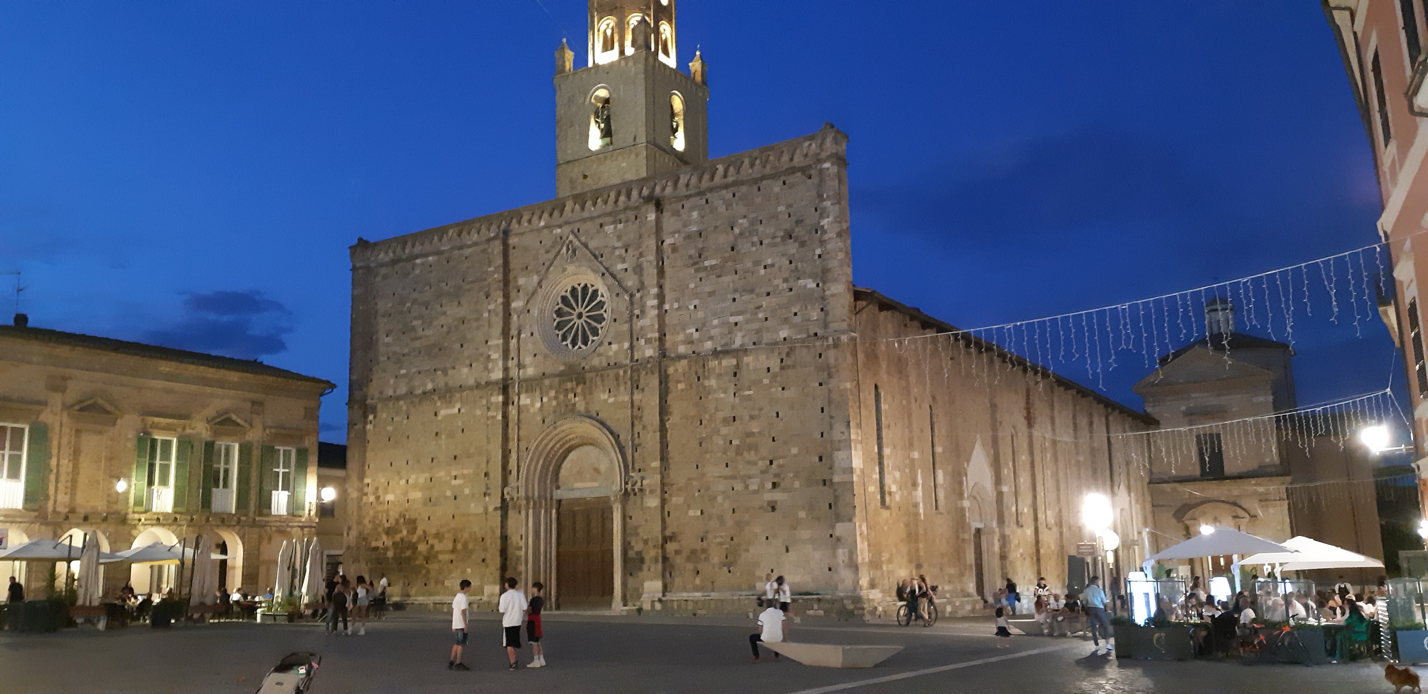
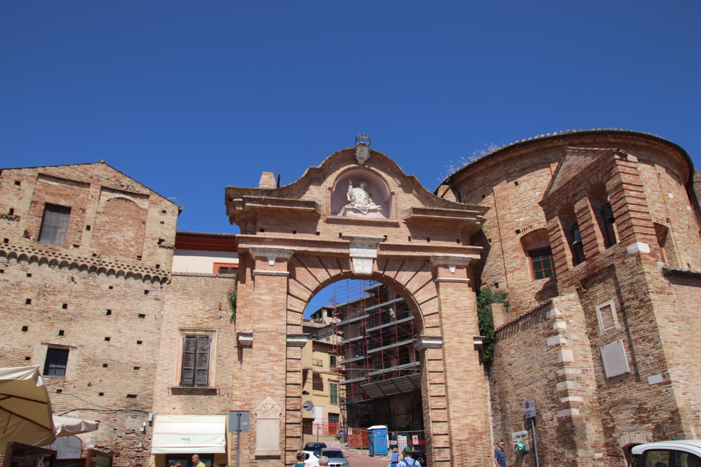
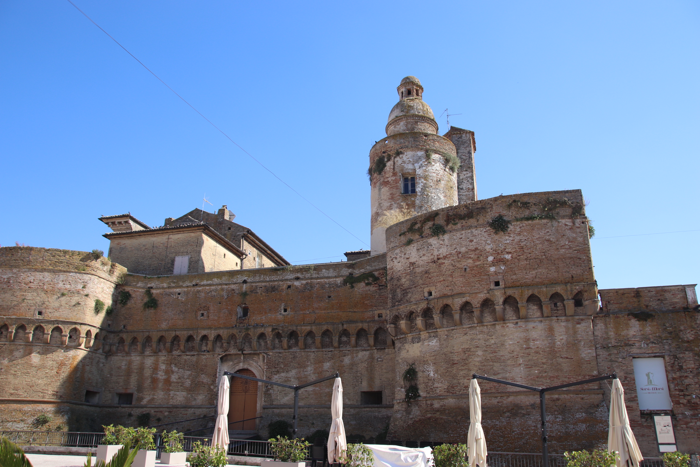
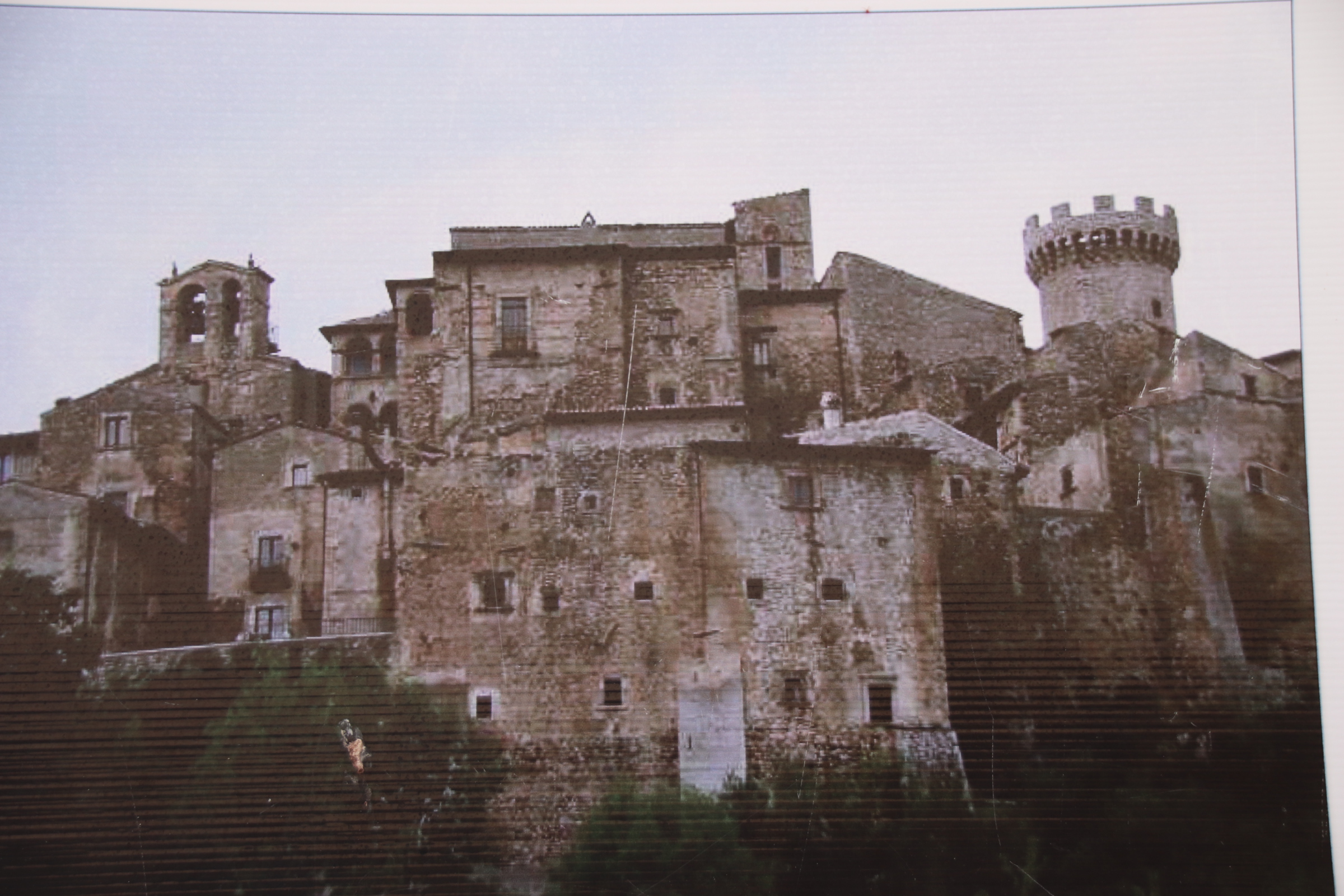
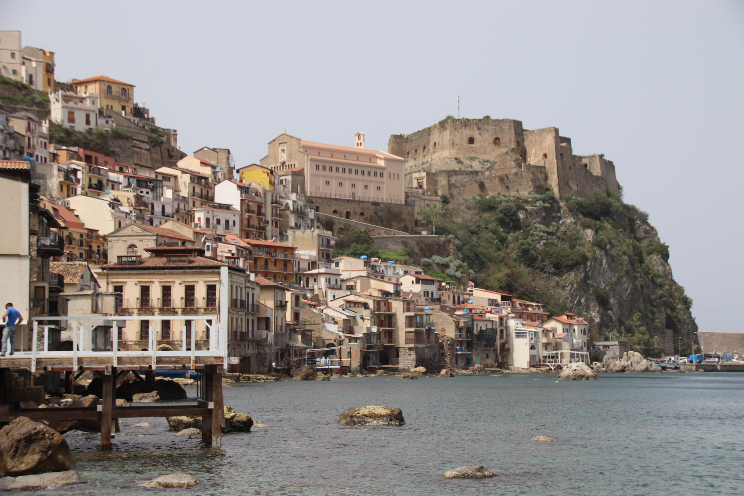
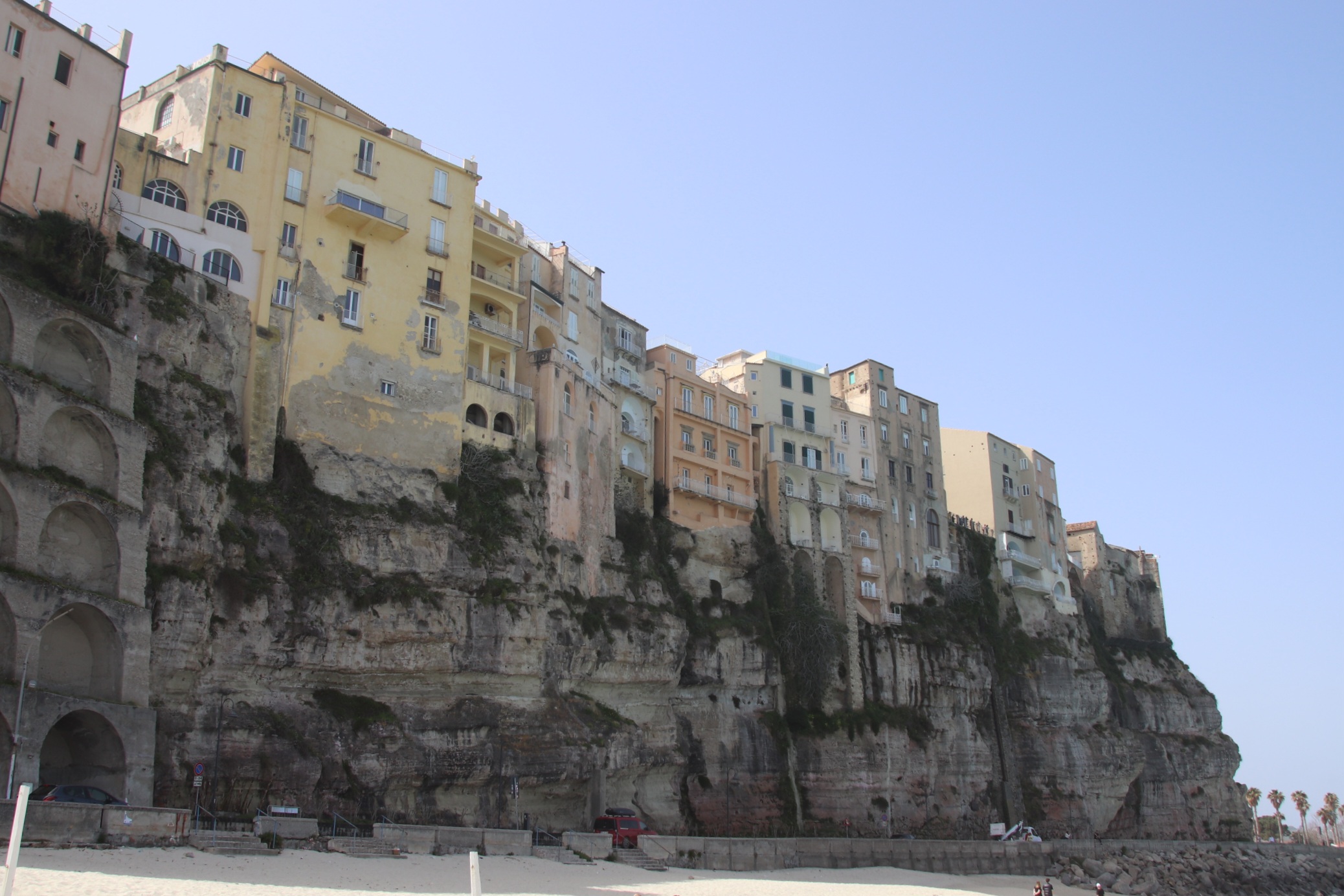
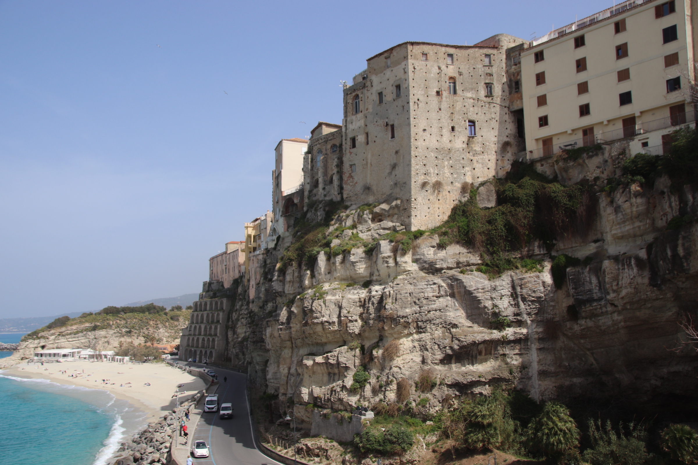
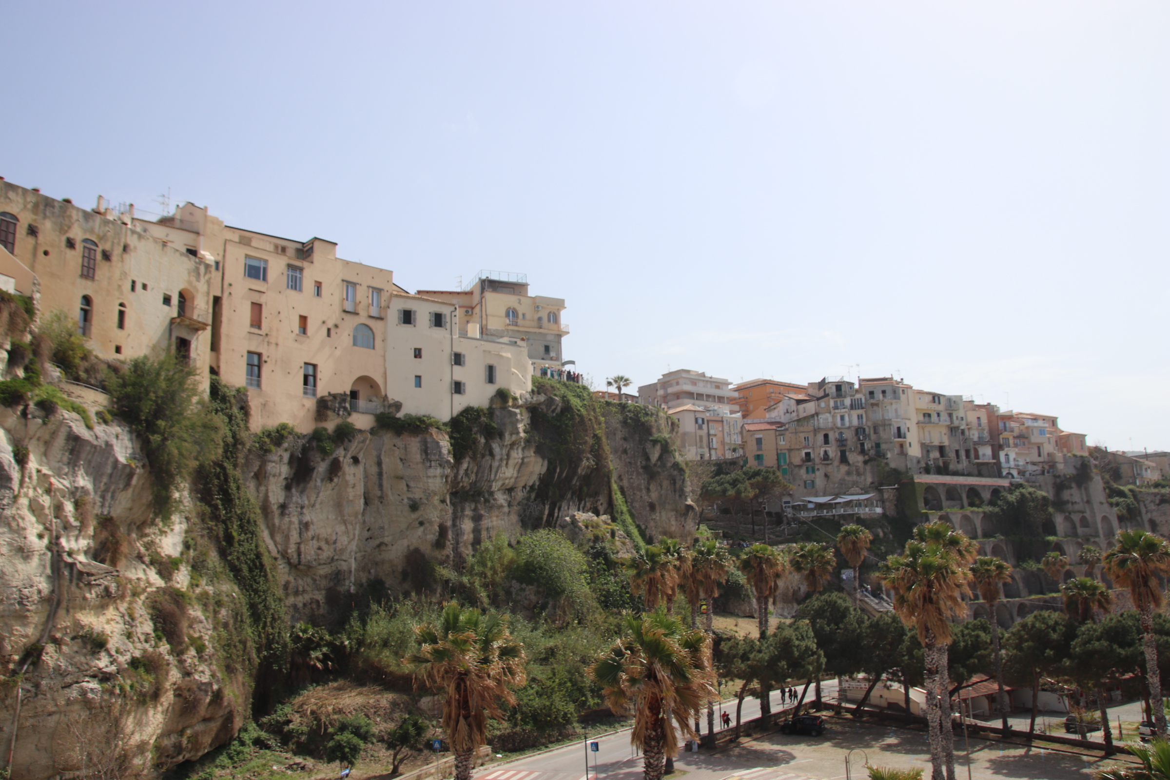
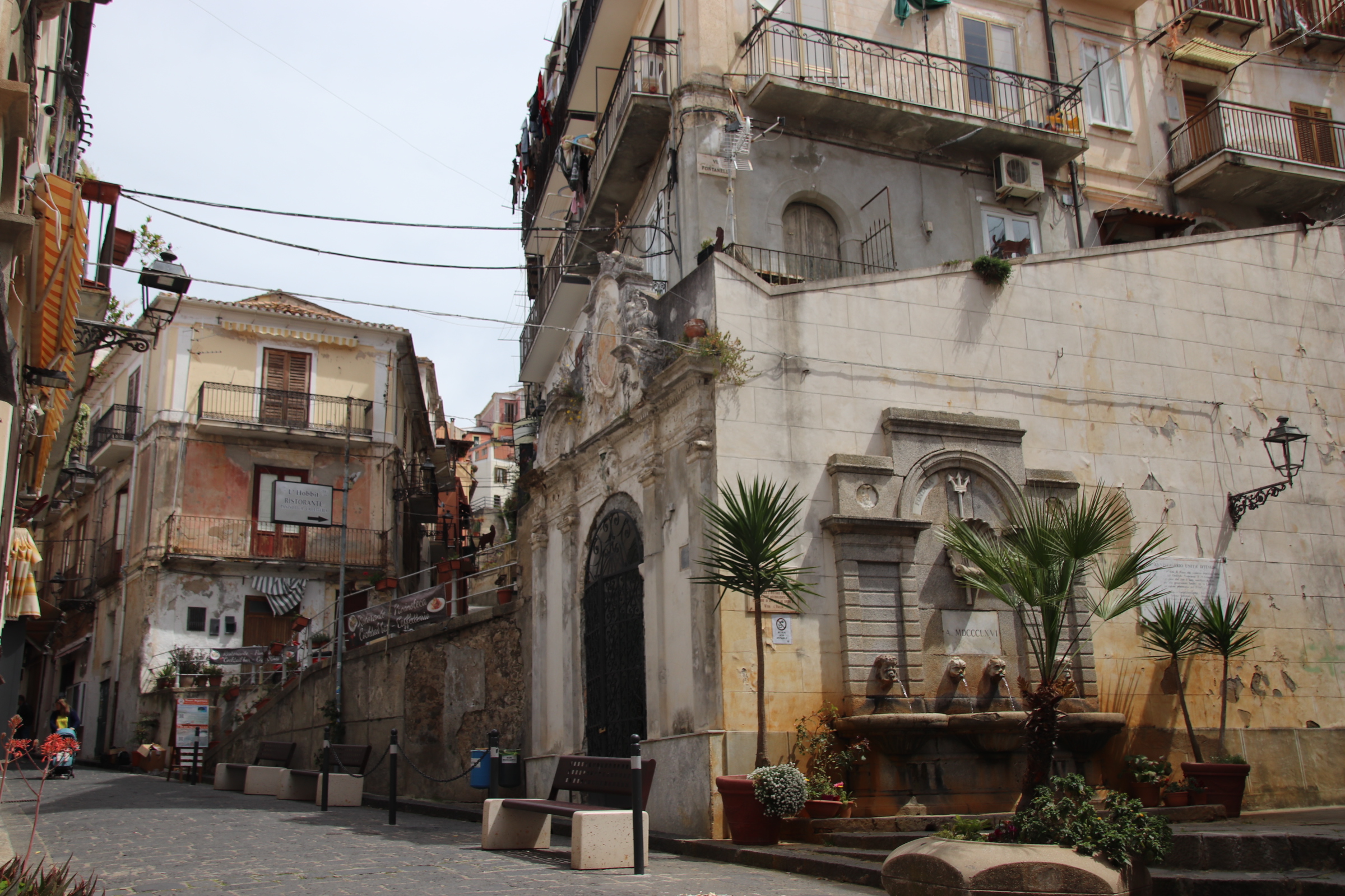
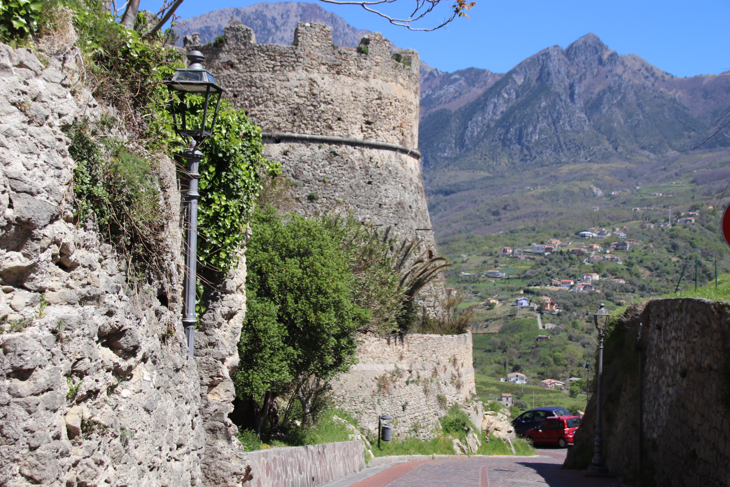
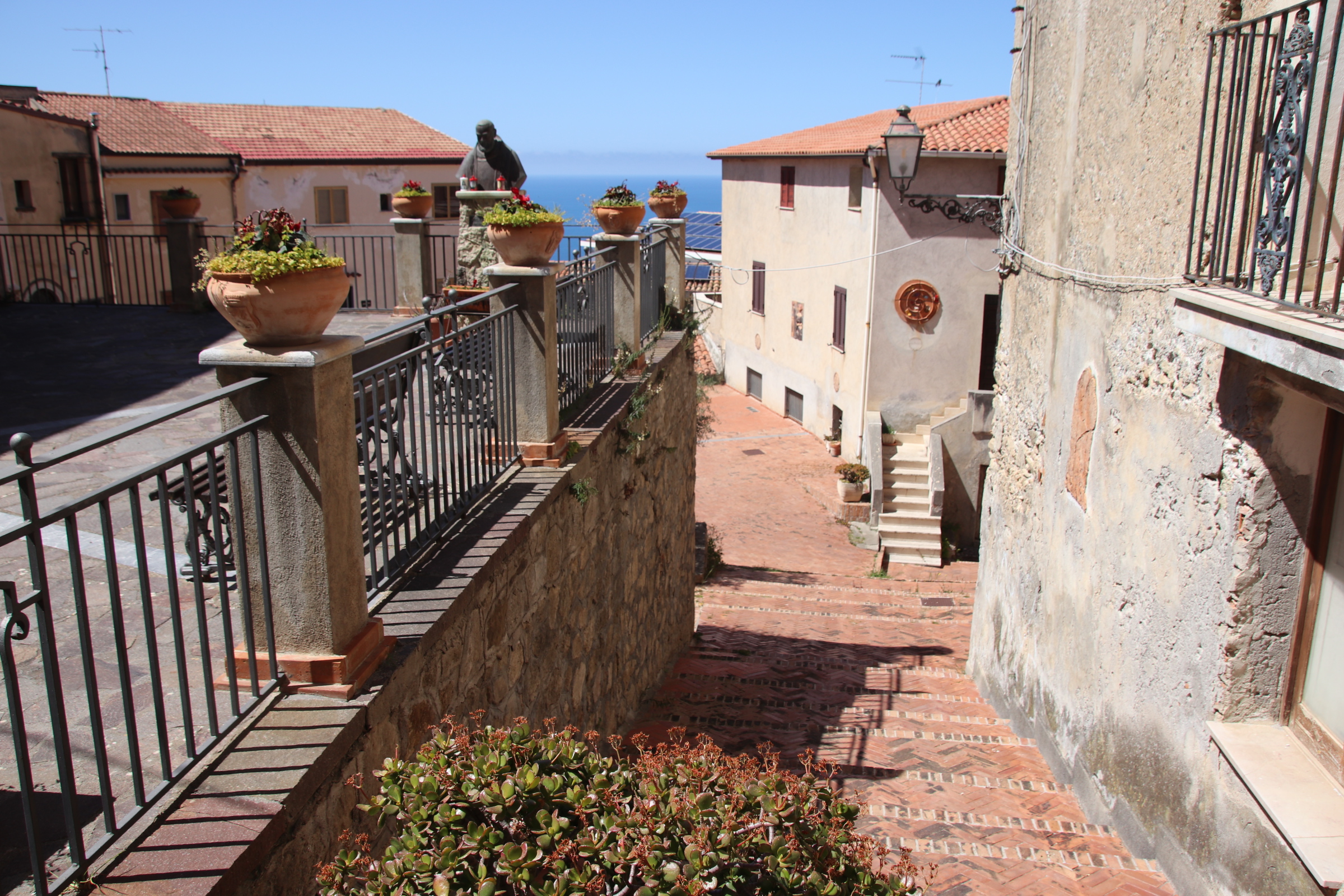
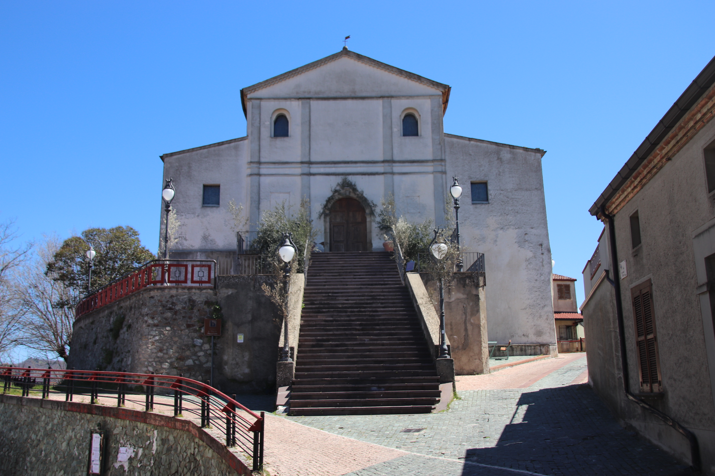
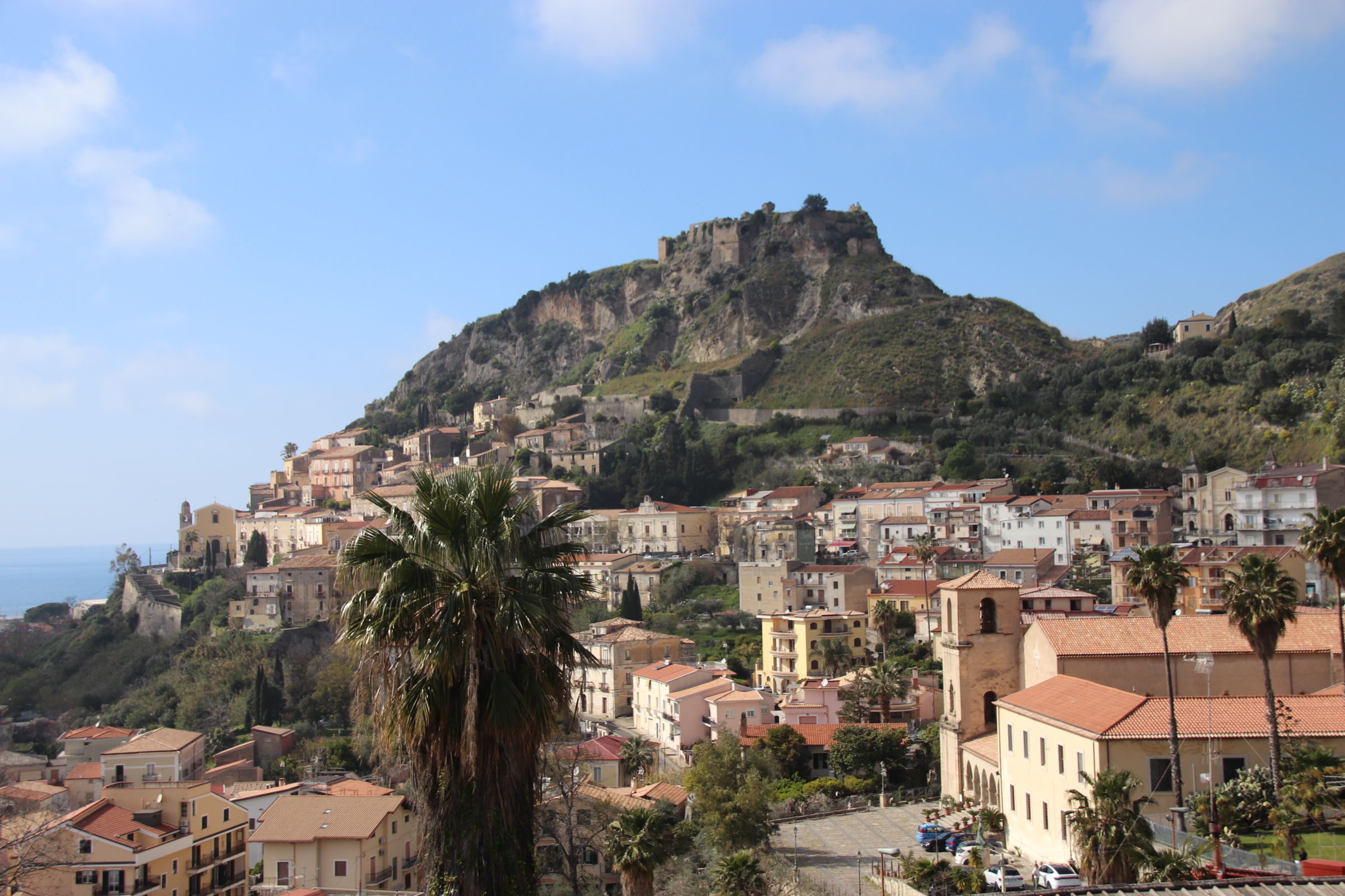
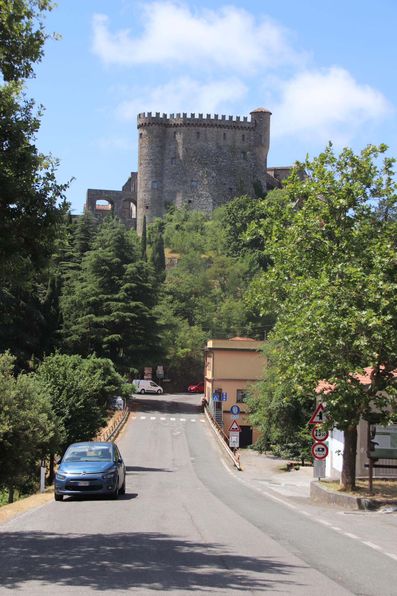
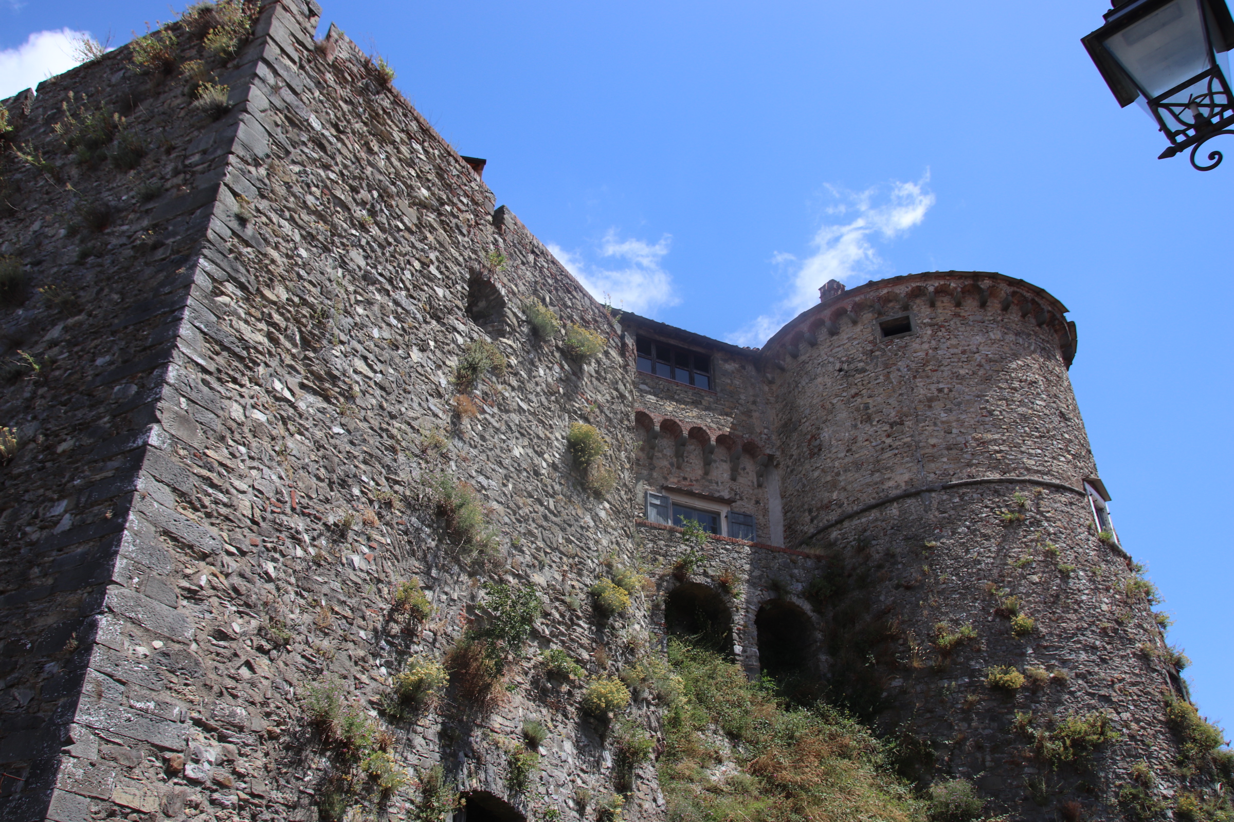
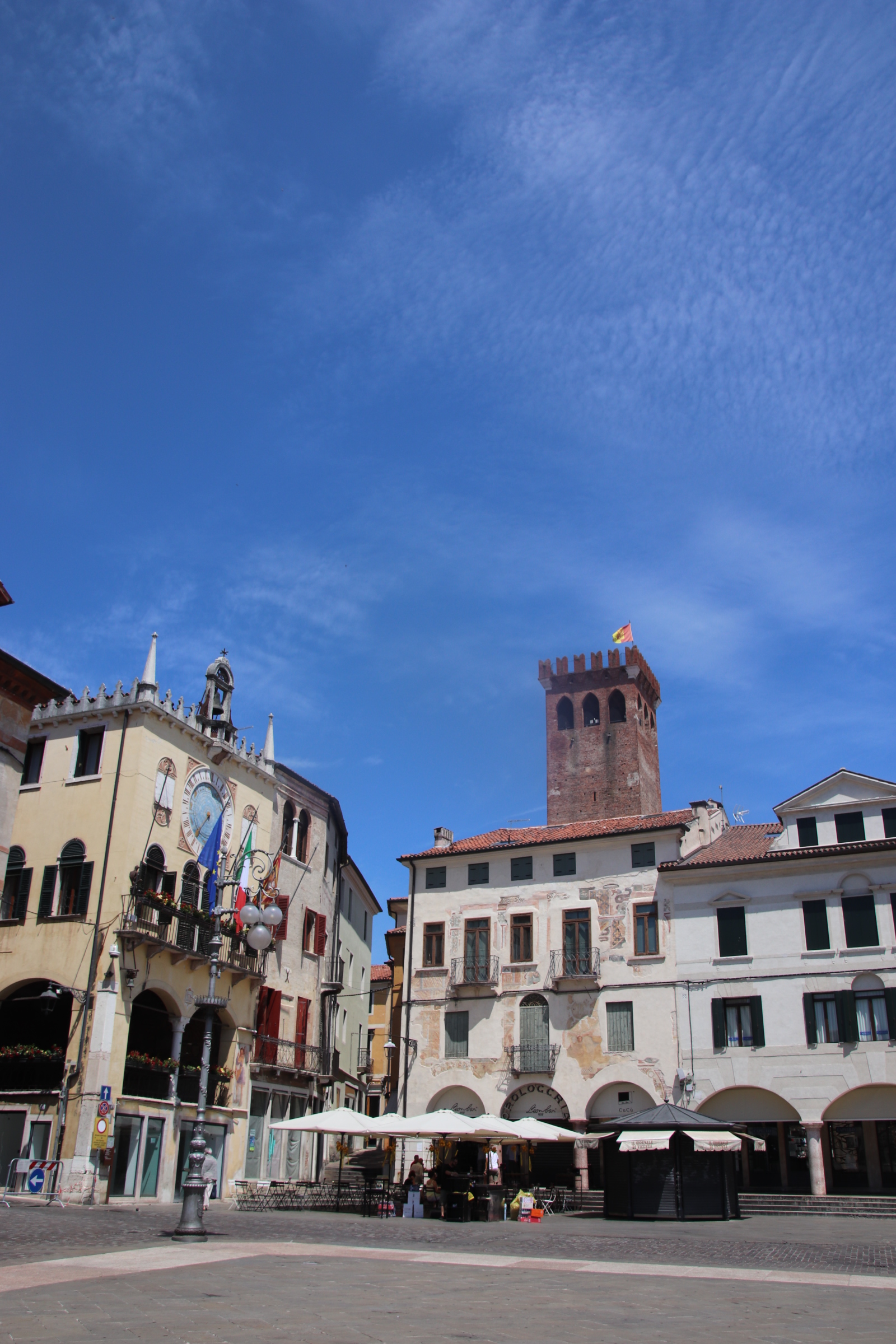
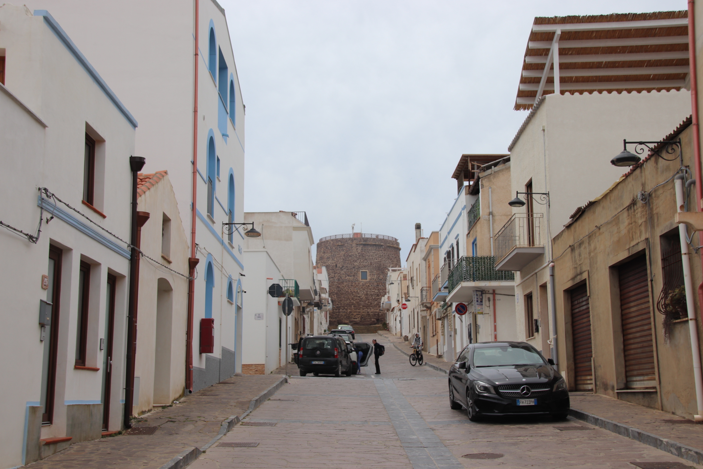
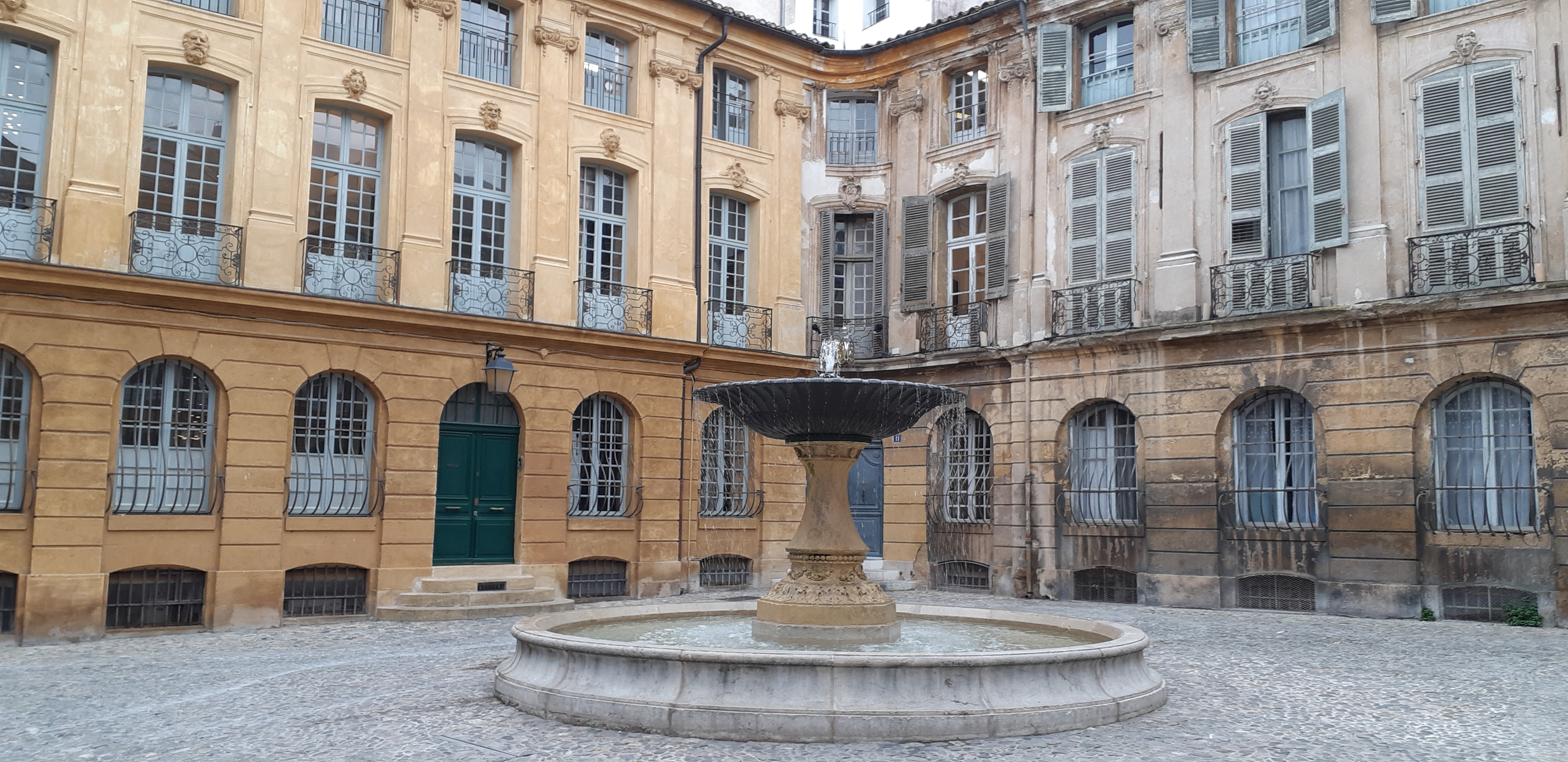
In Roccascalegna, a high, medieval castle powers it over the village.
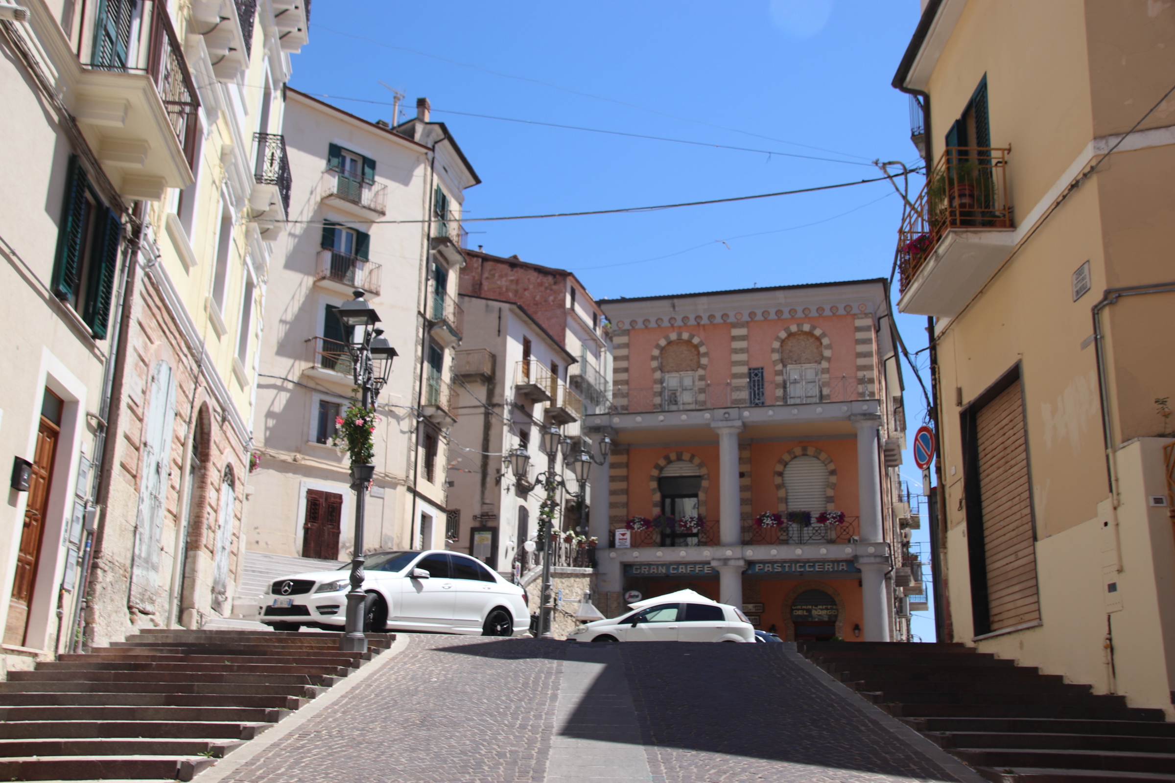
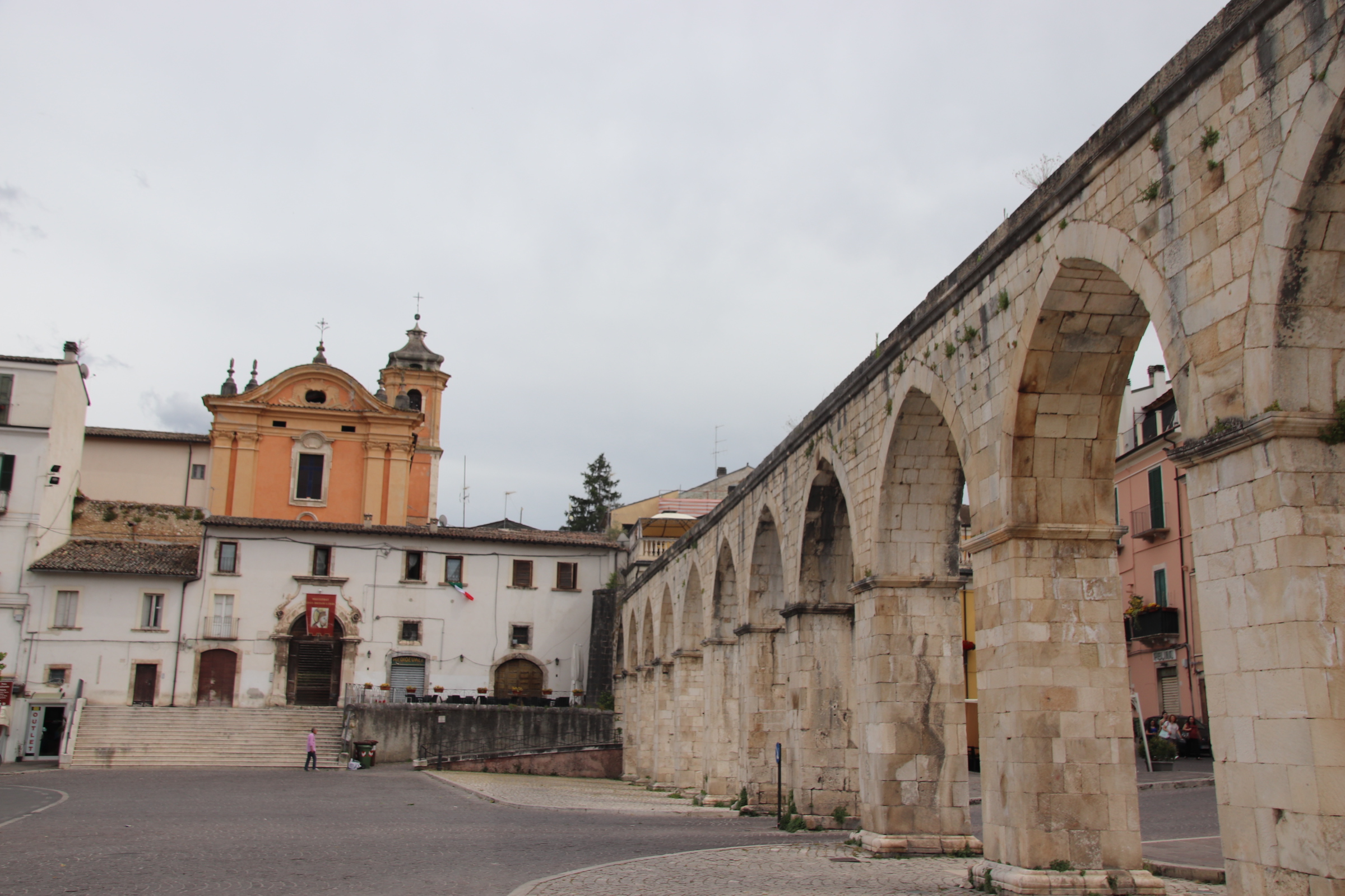
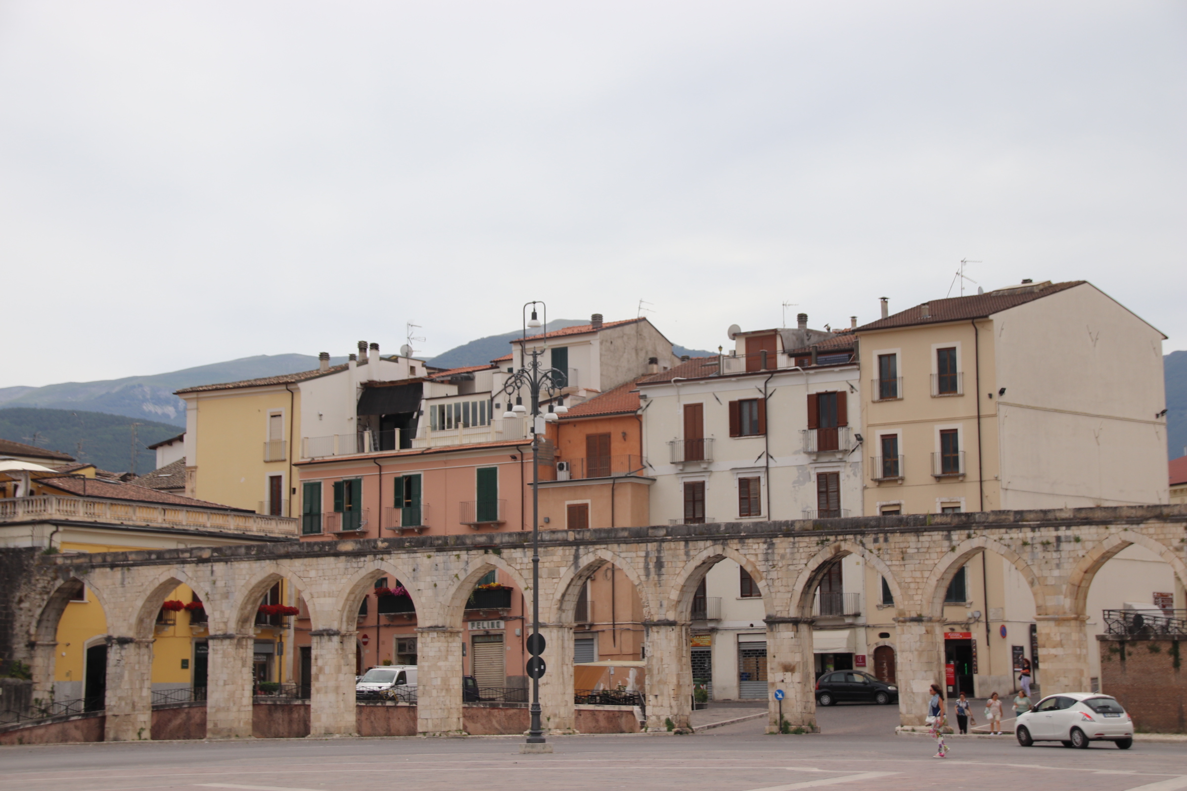
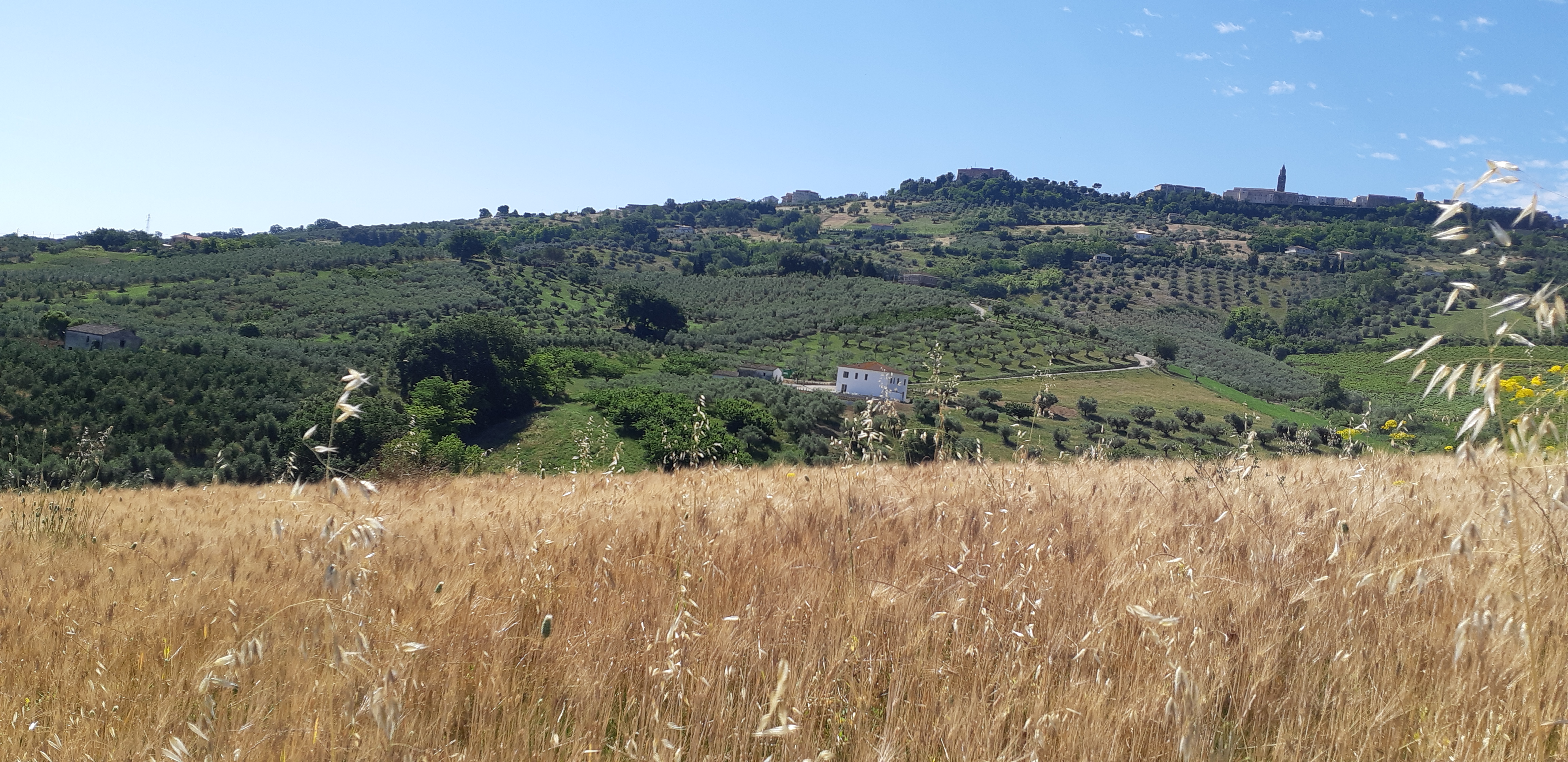
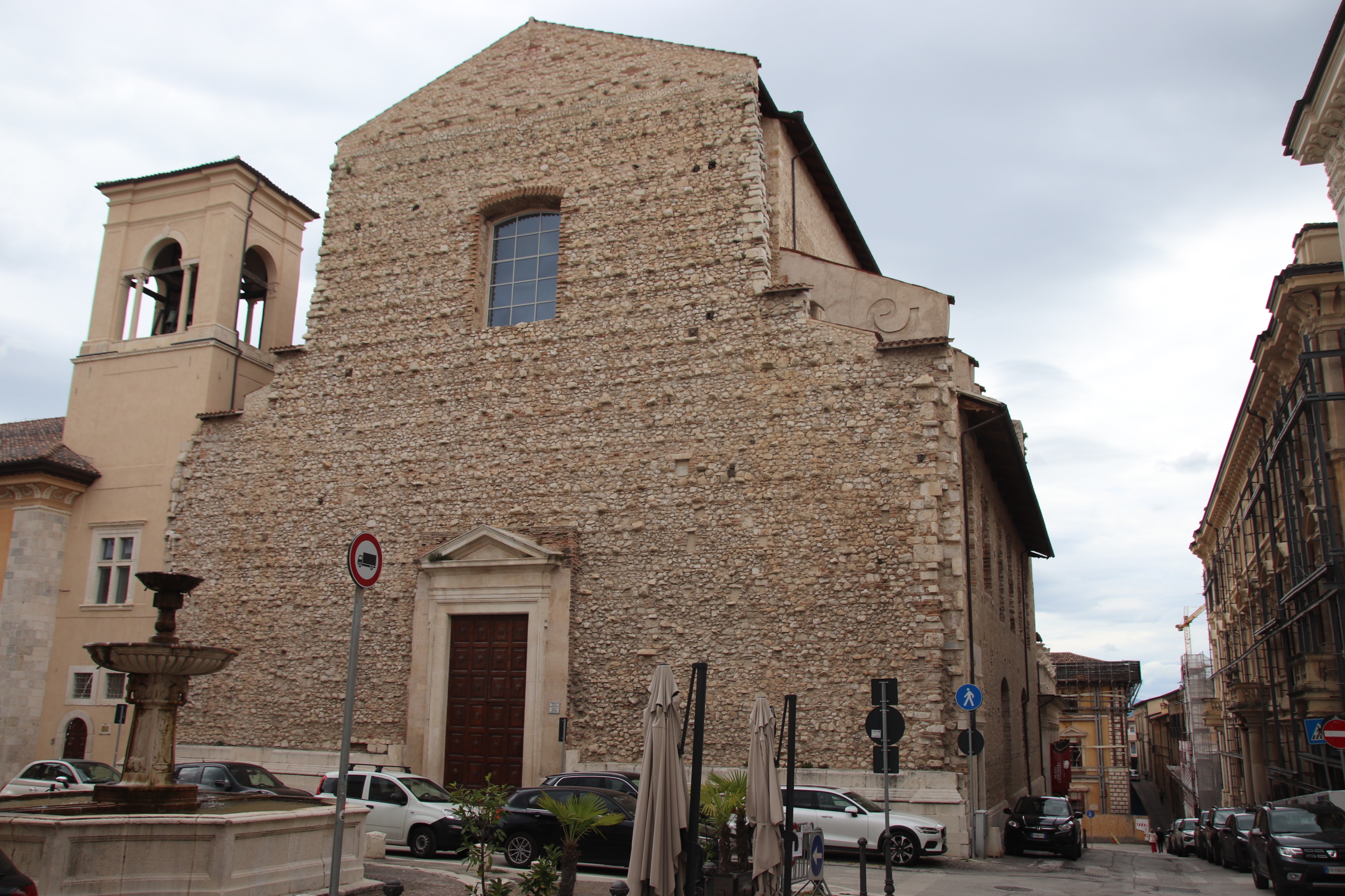
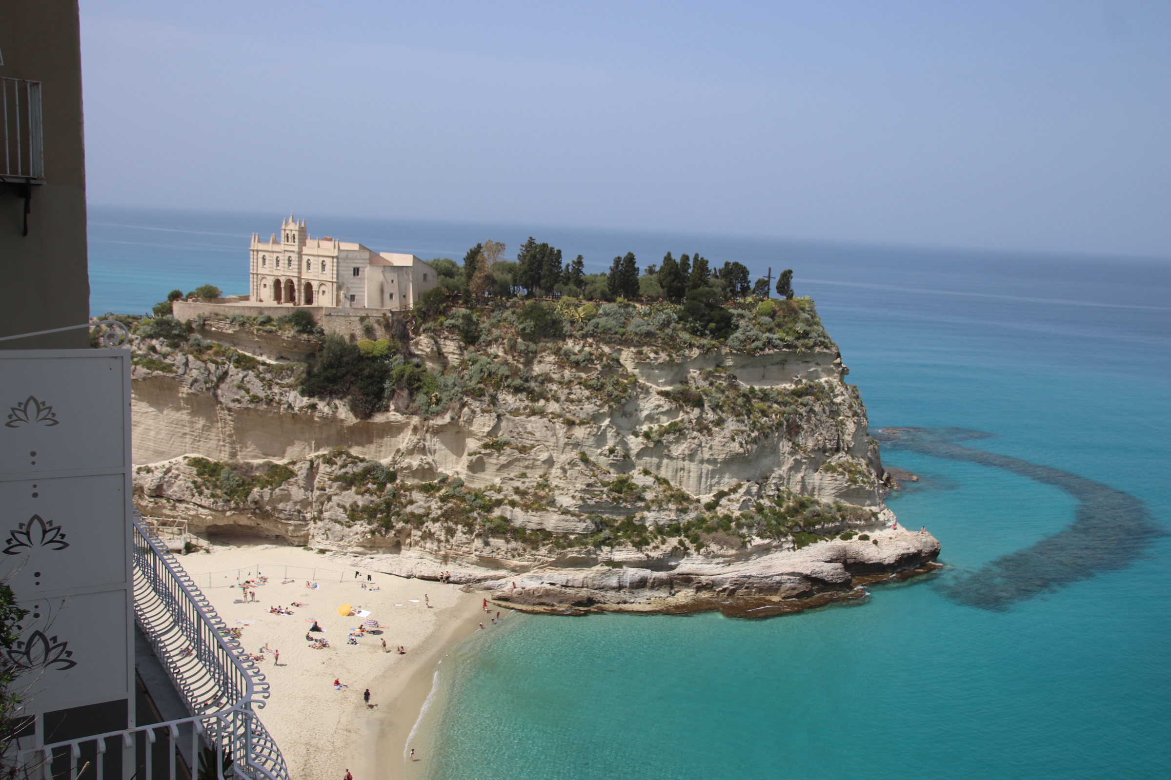
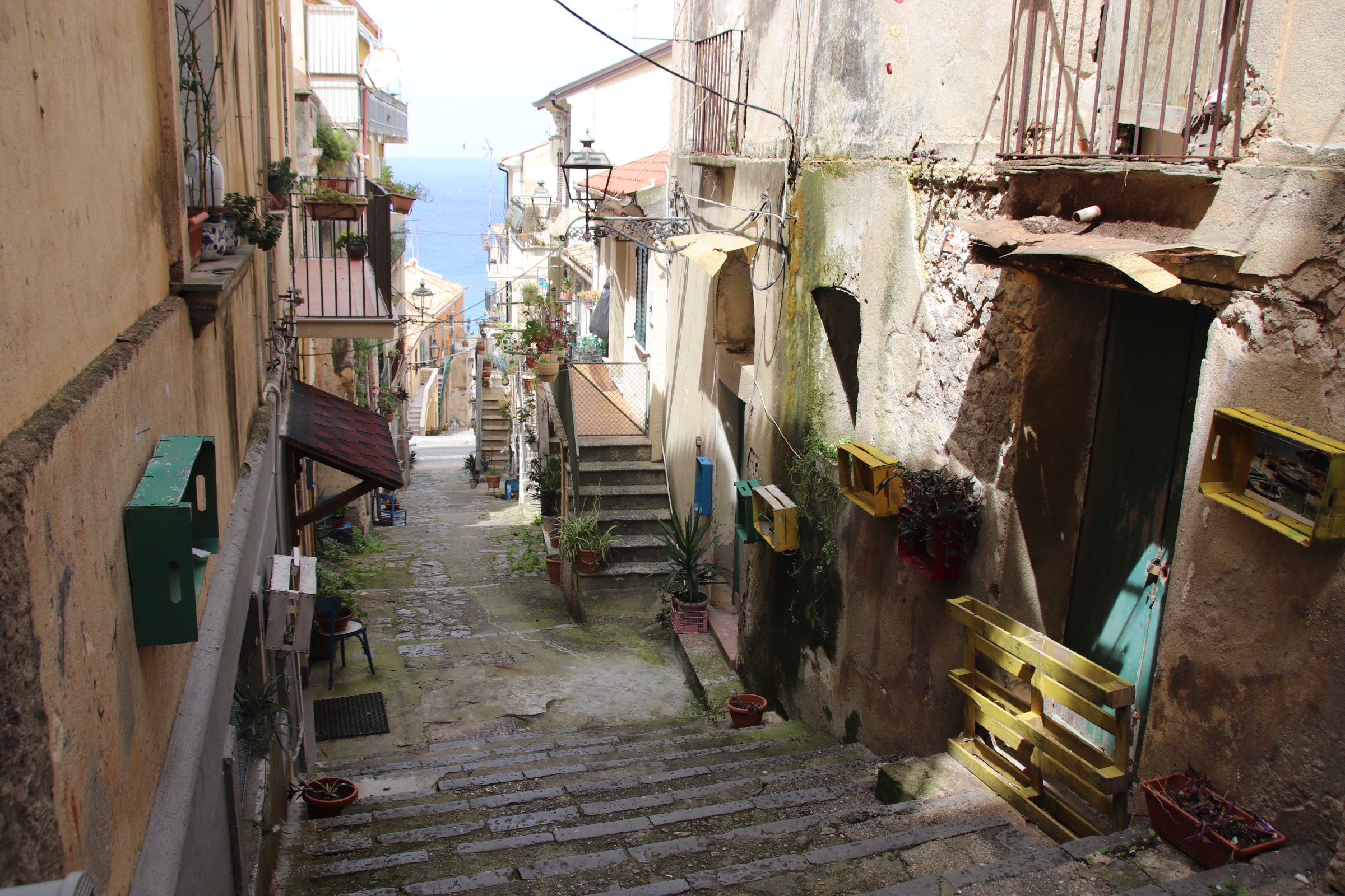
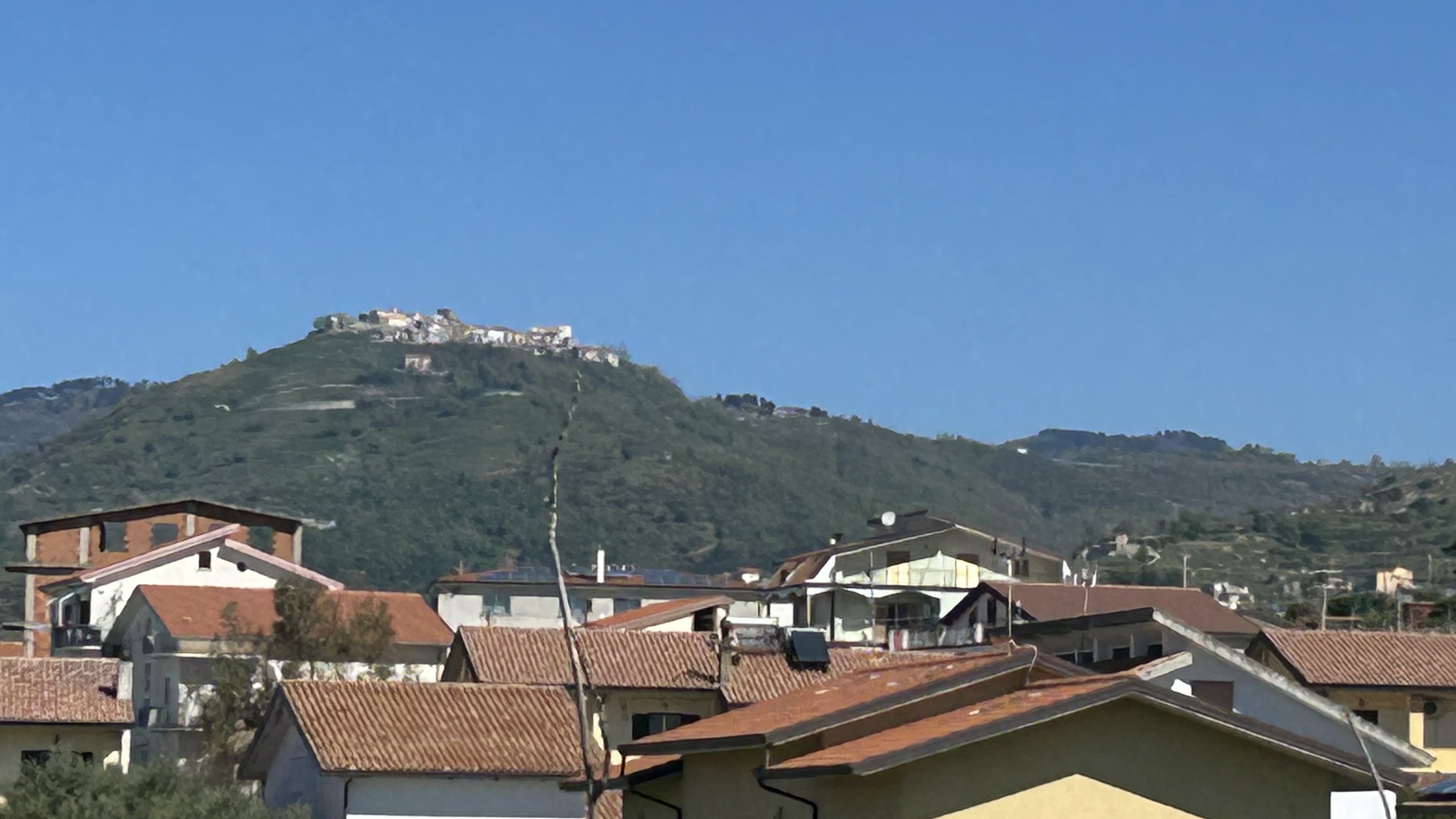
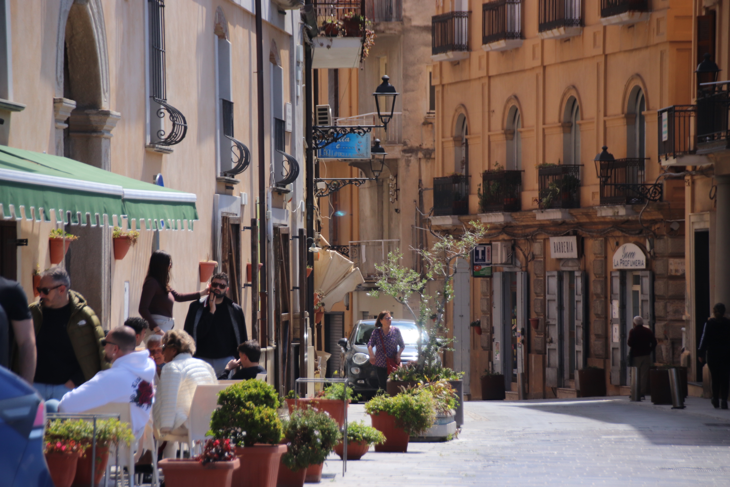
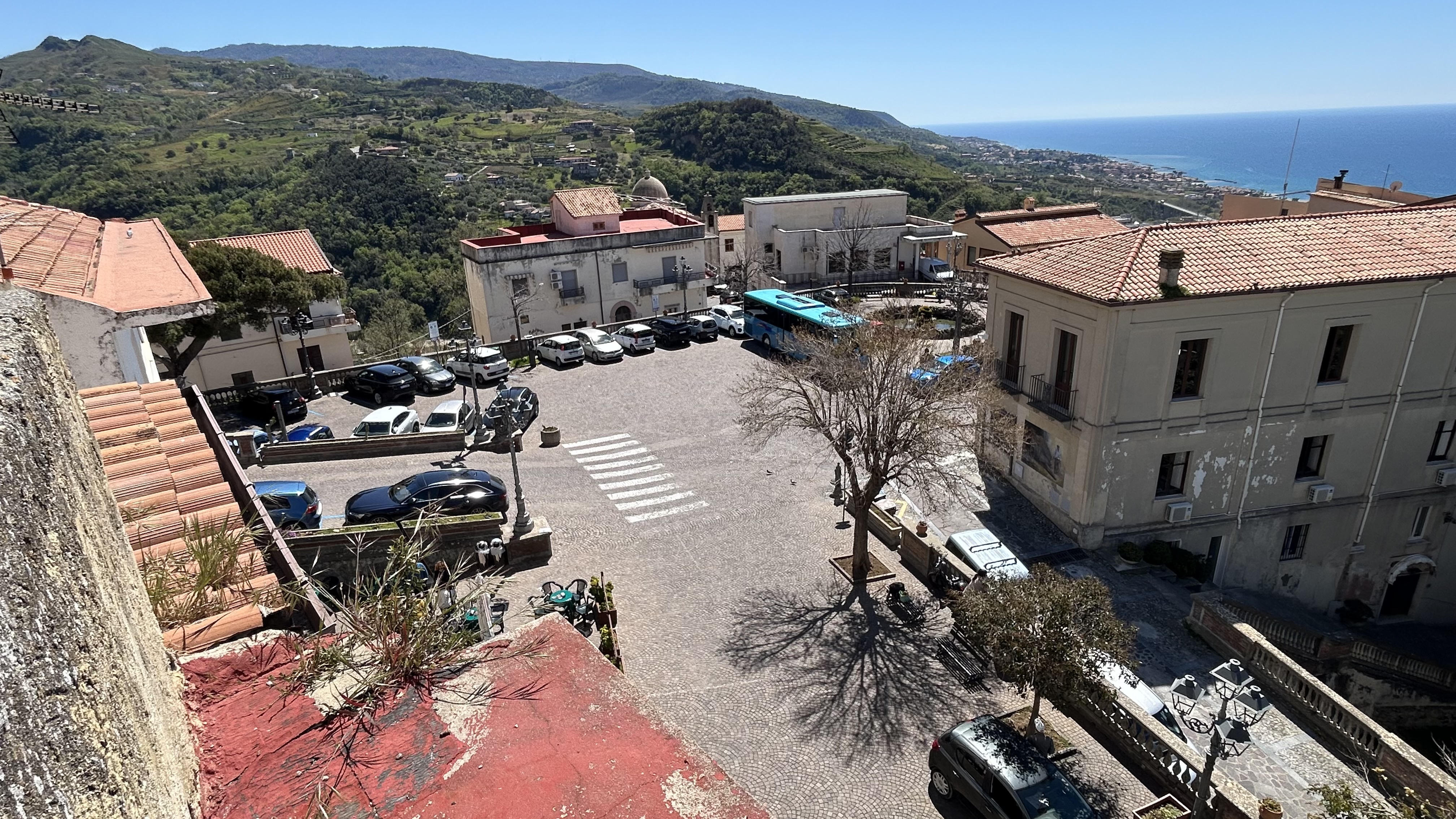
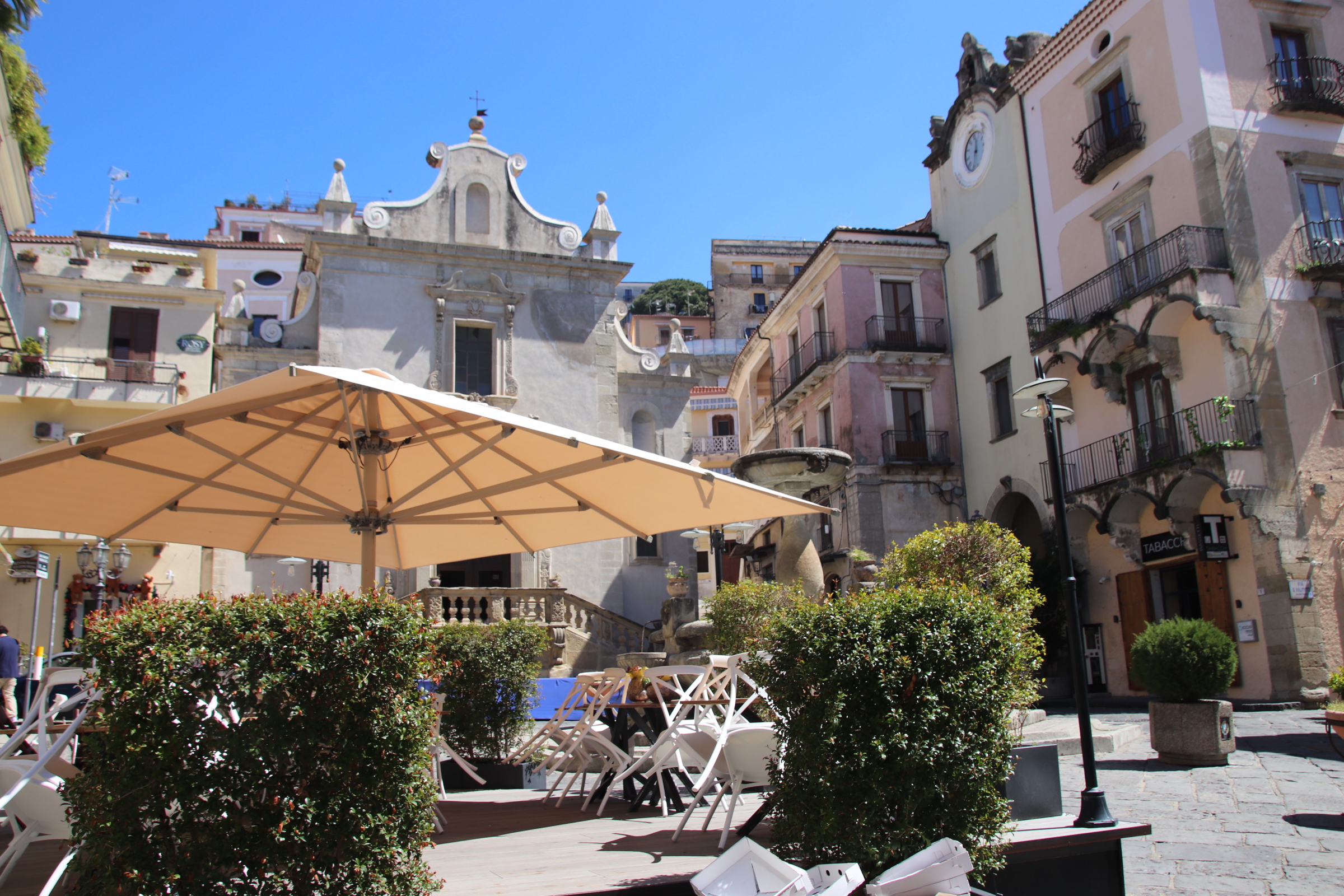
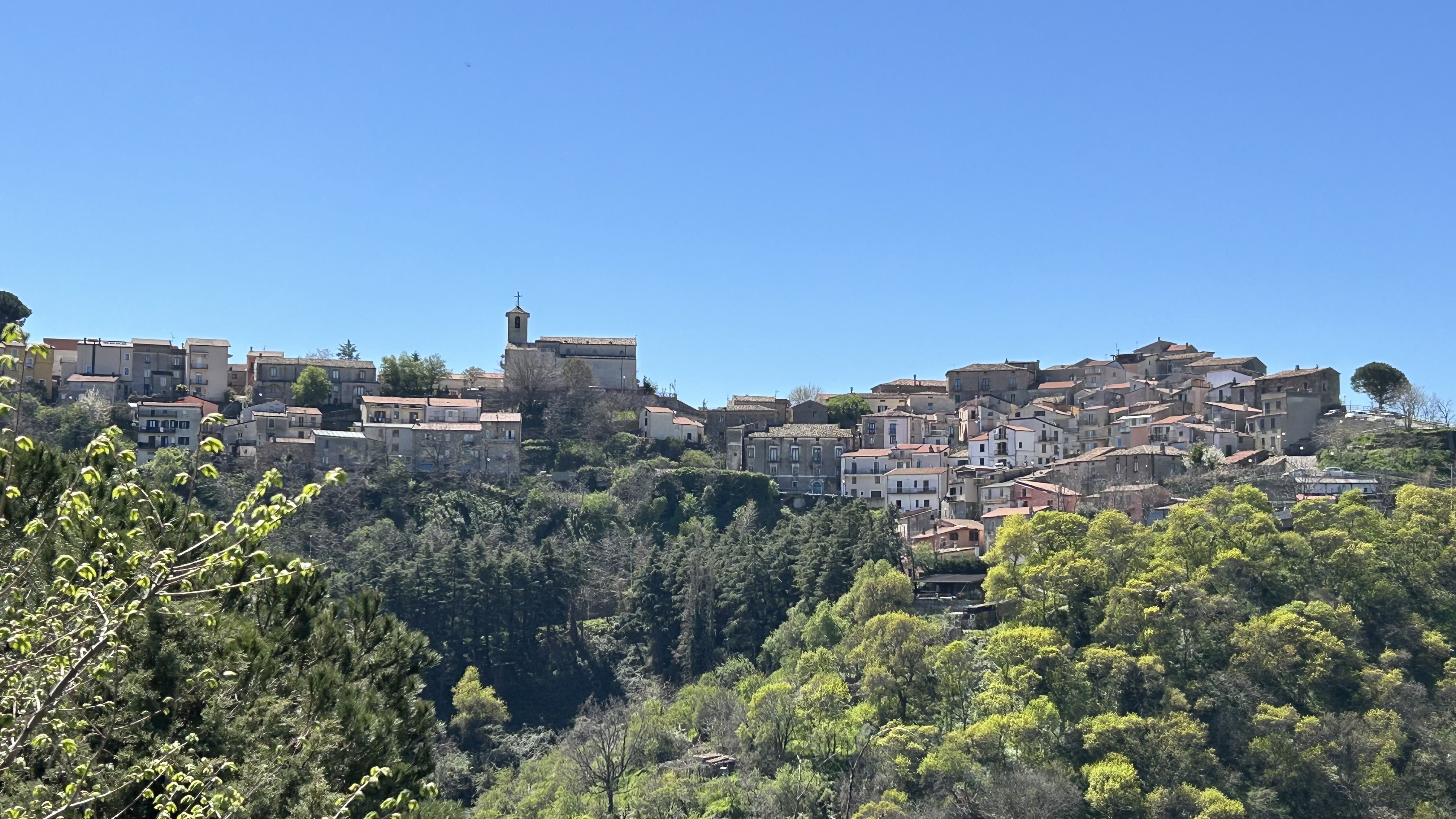
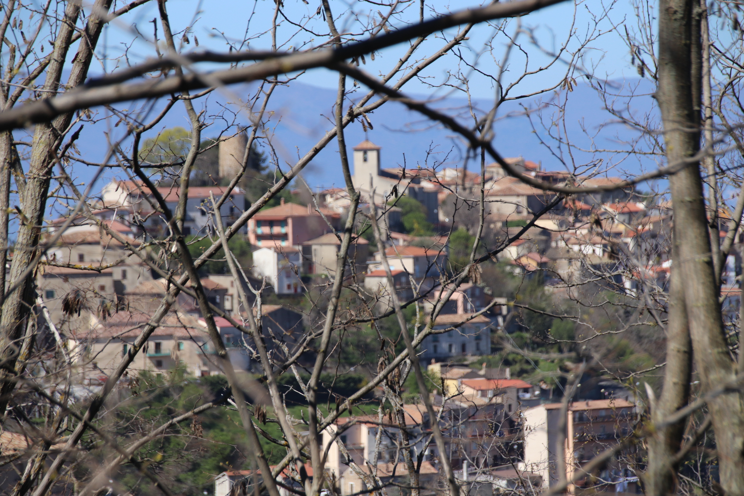
Altiho looks so impressive from a distance.
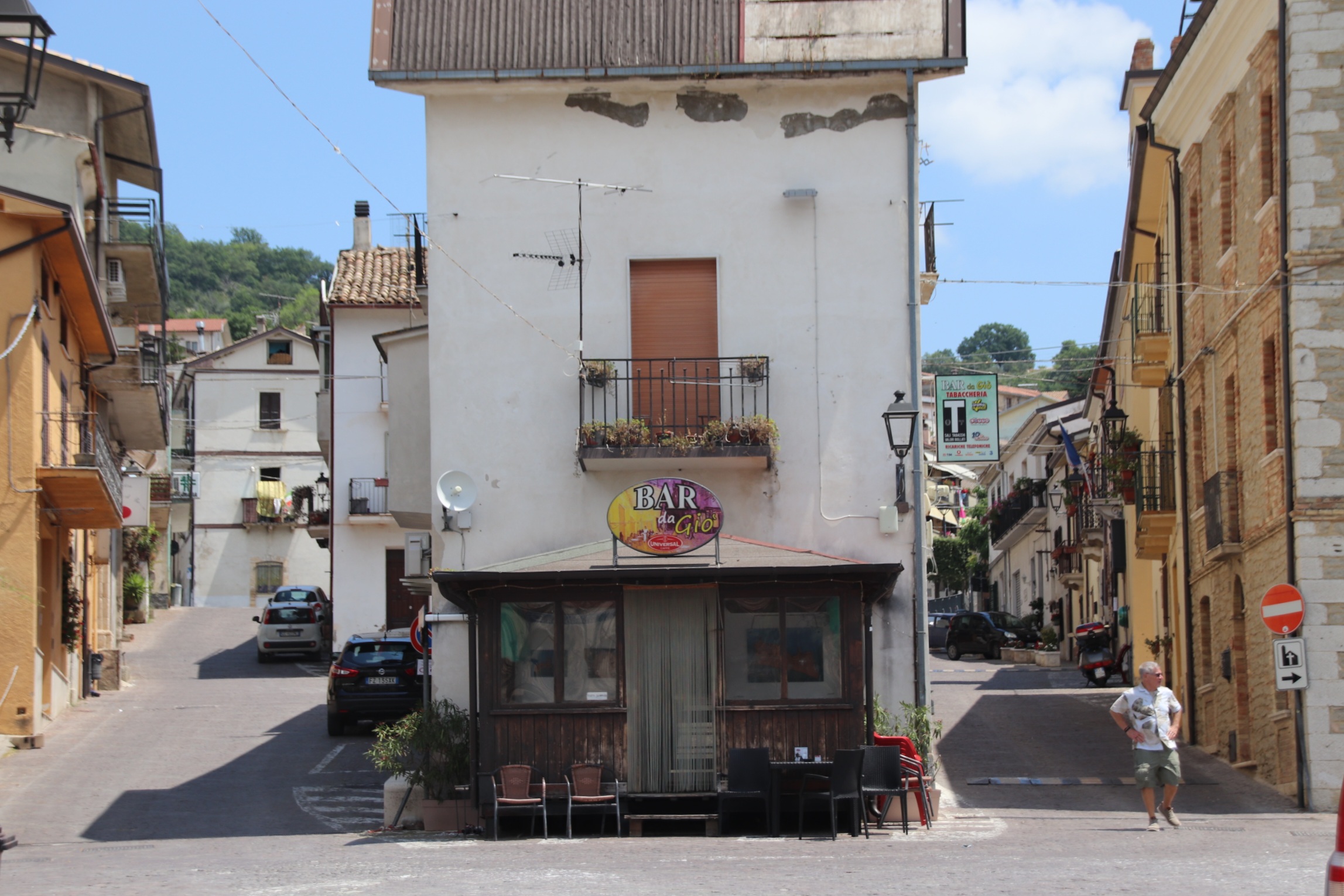
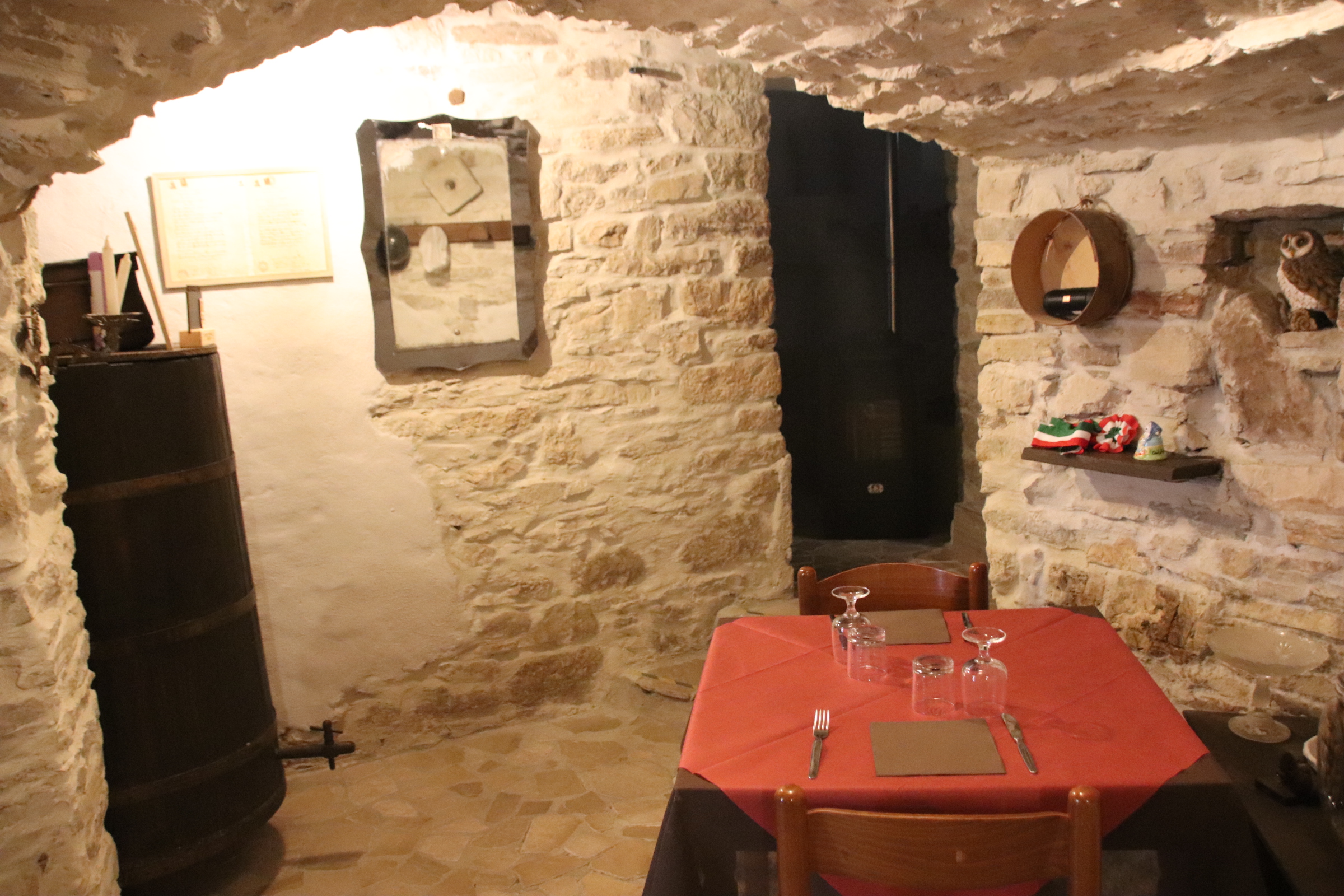
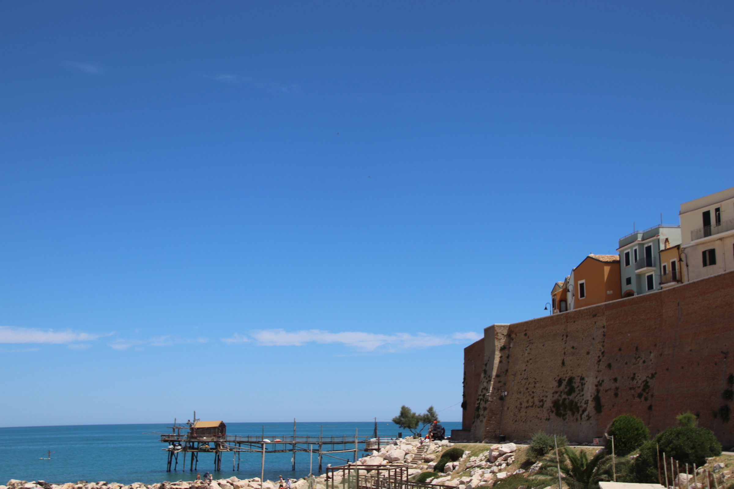
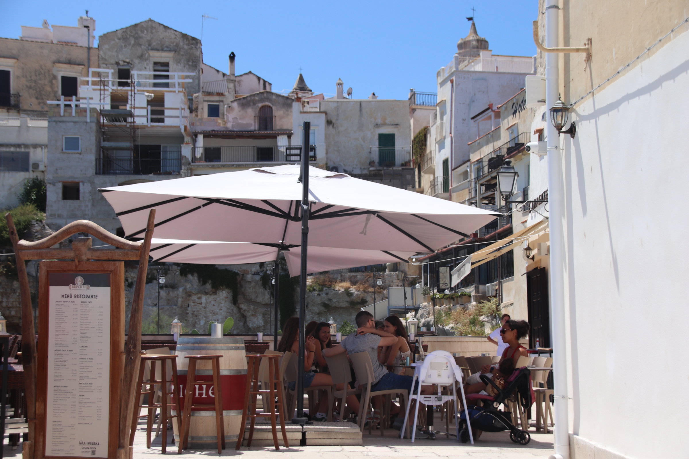
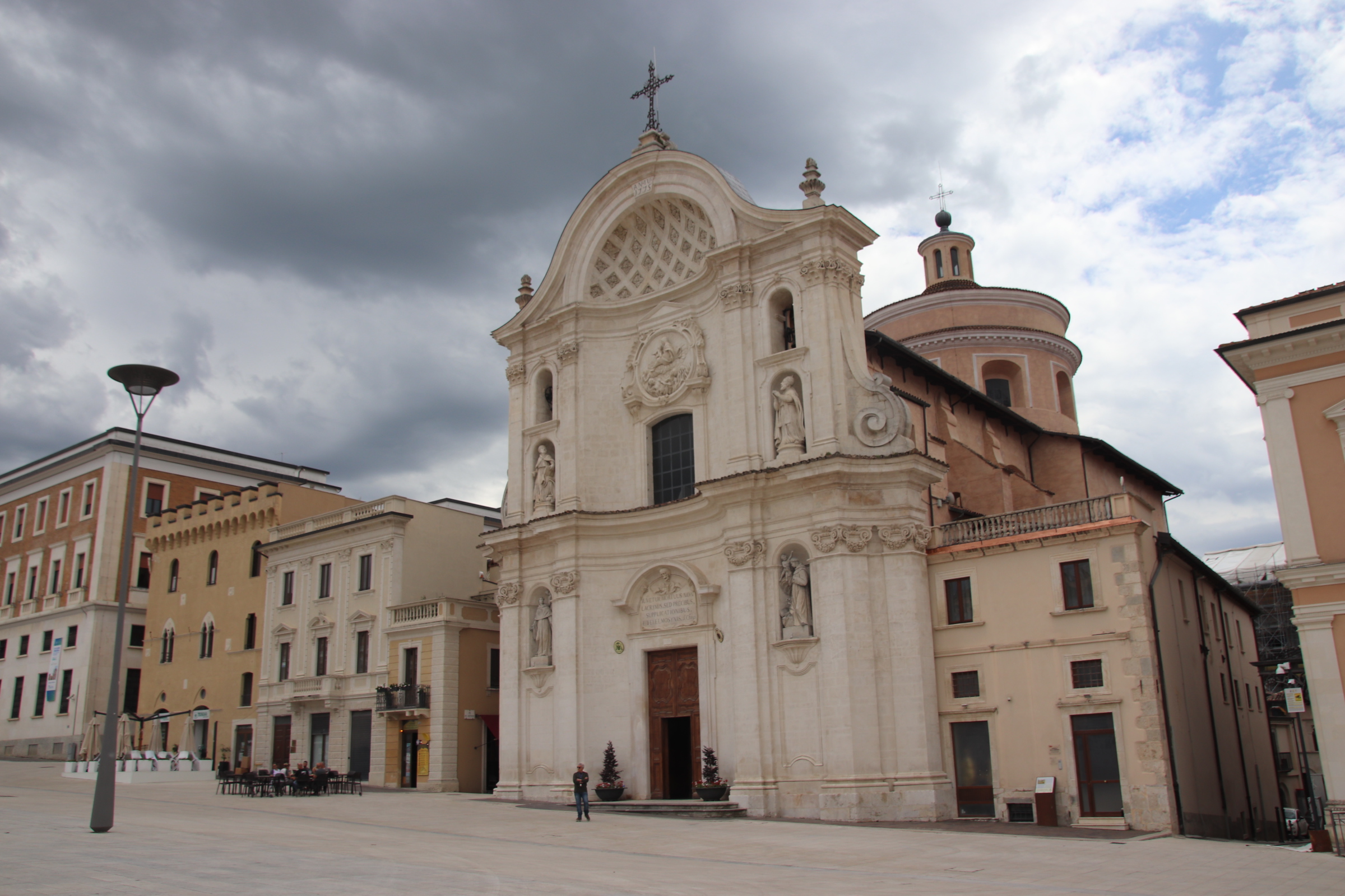
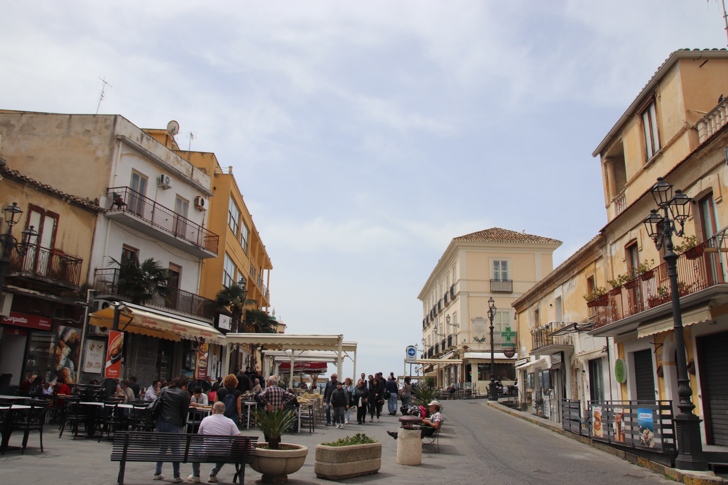
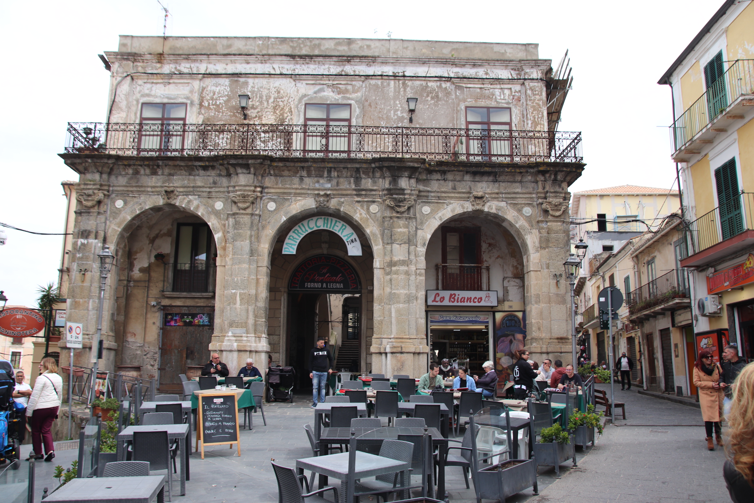
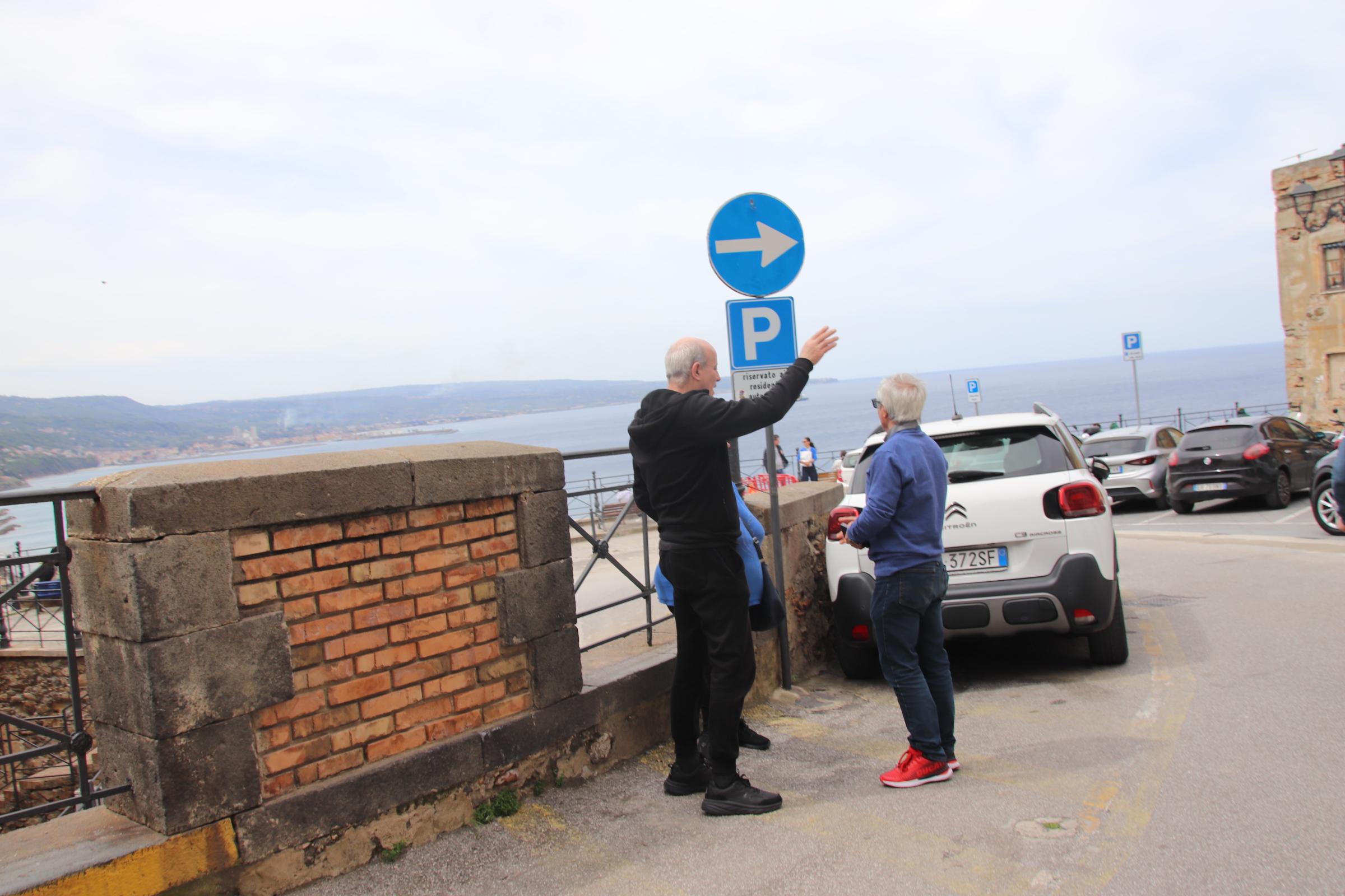
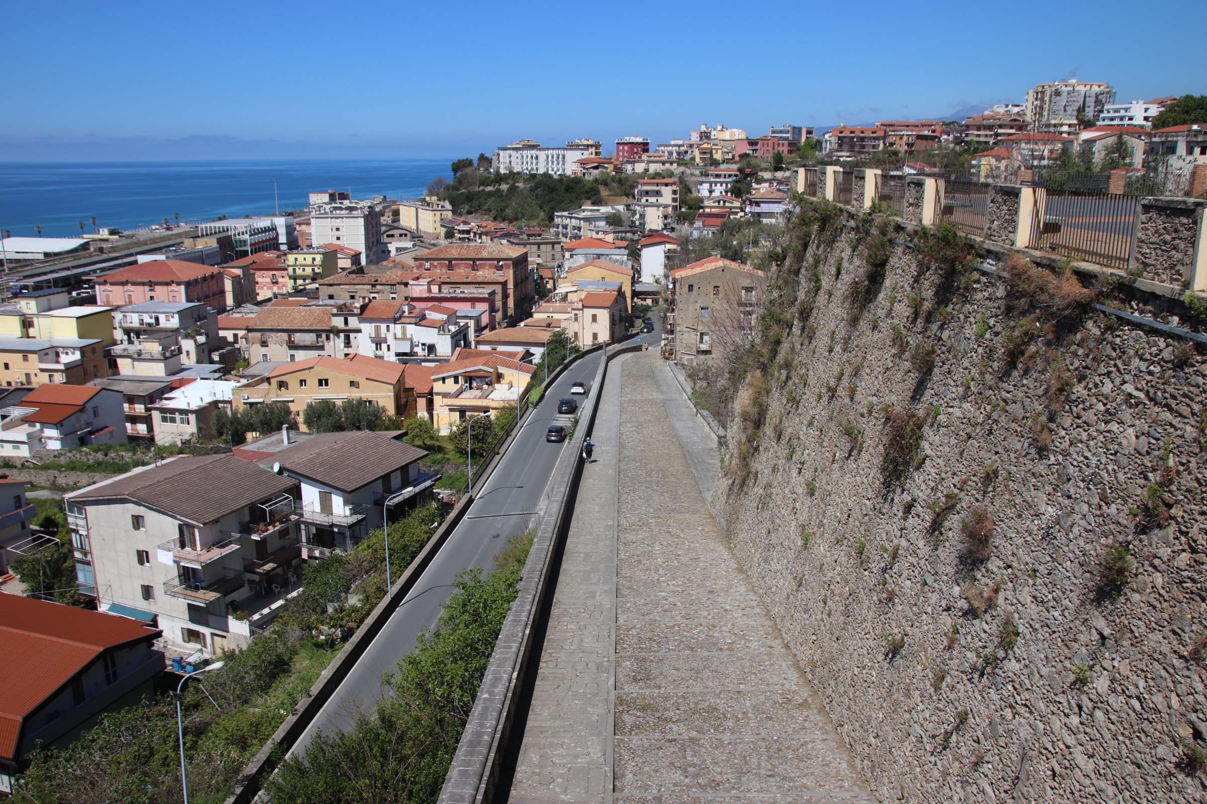
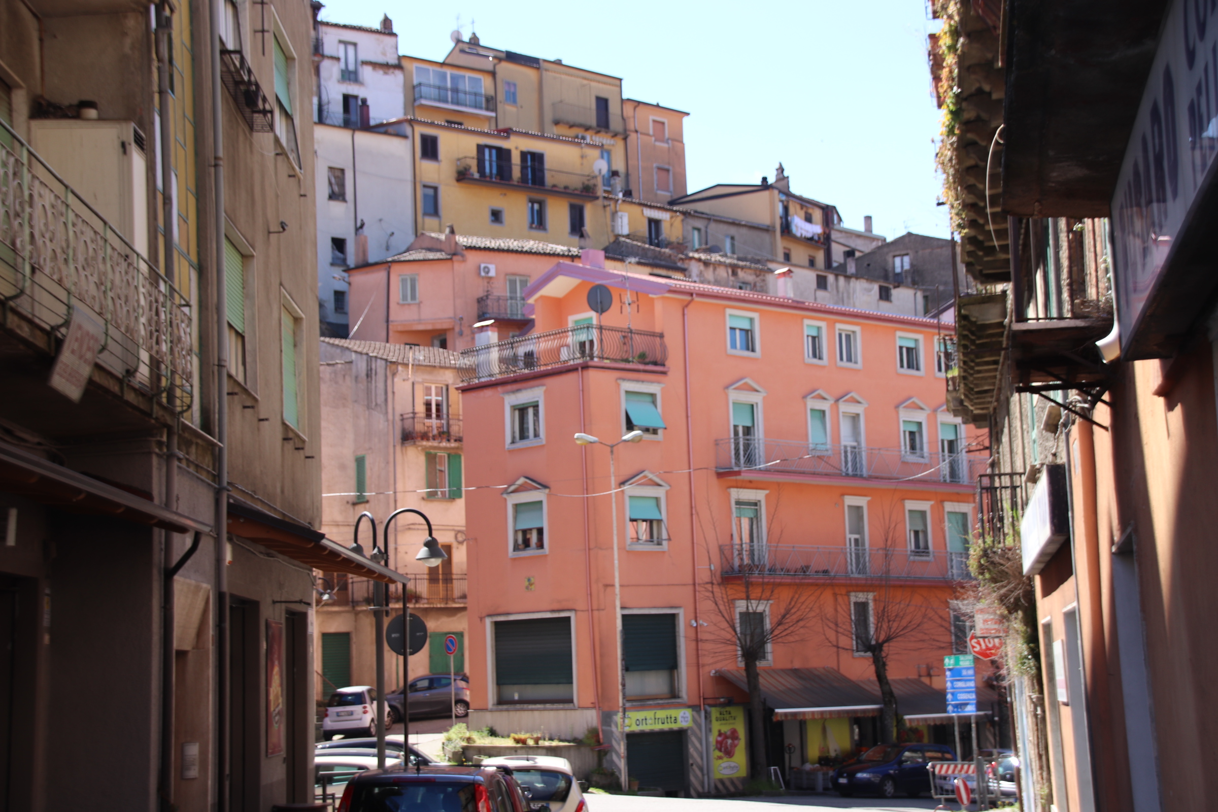
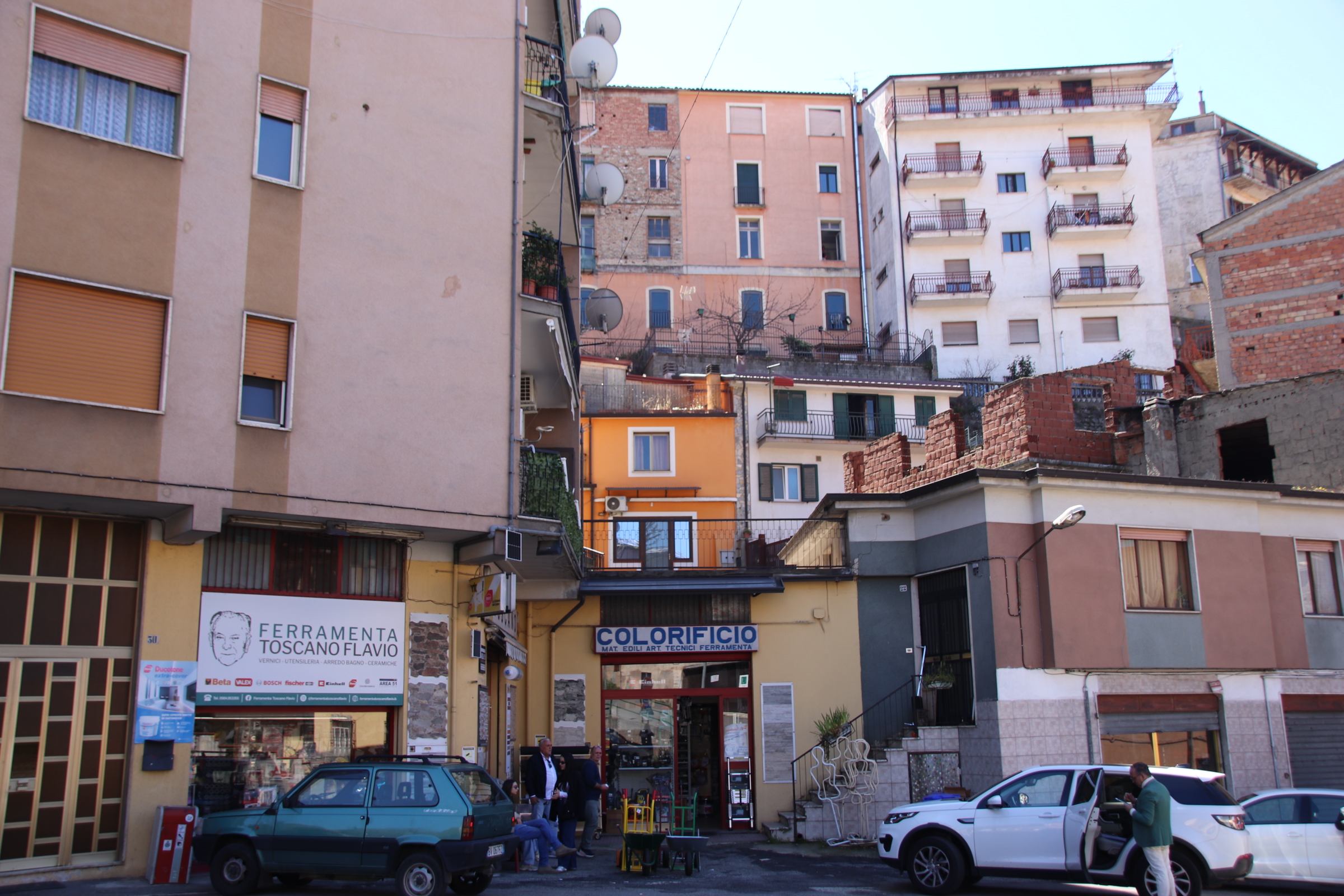
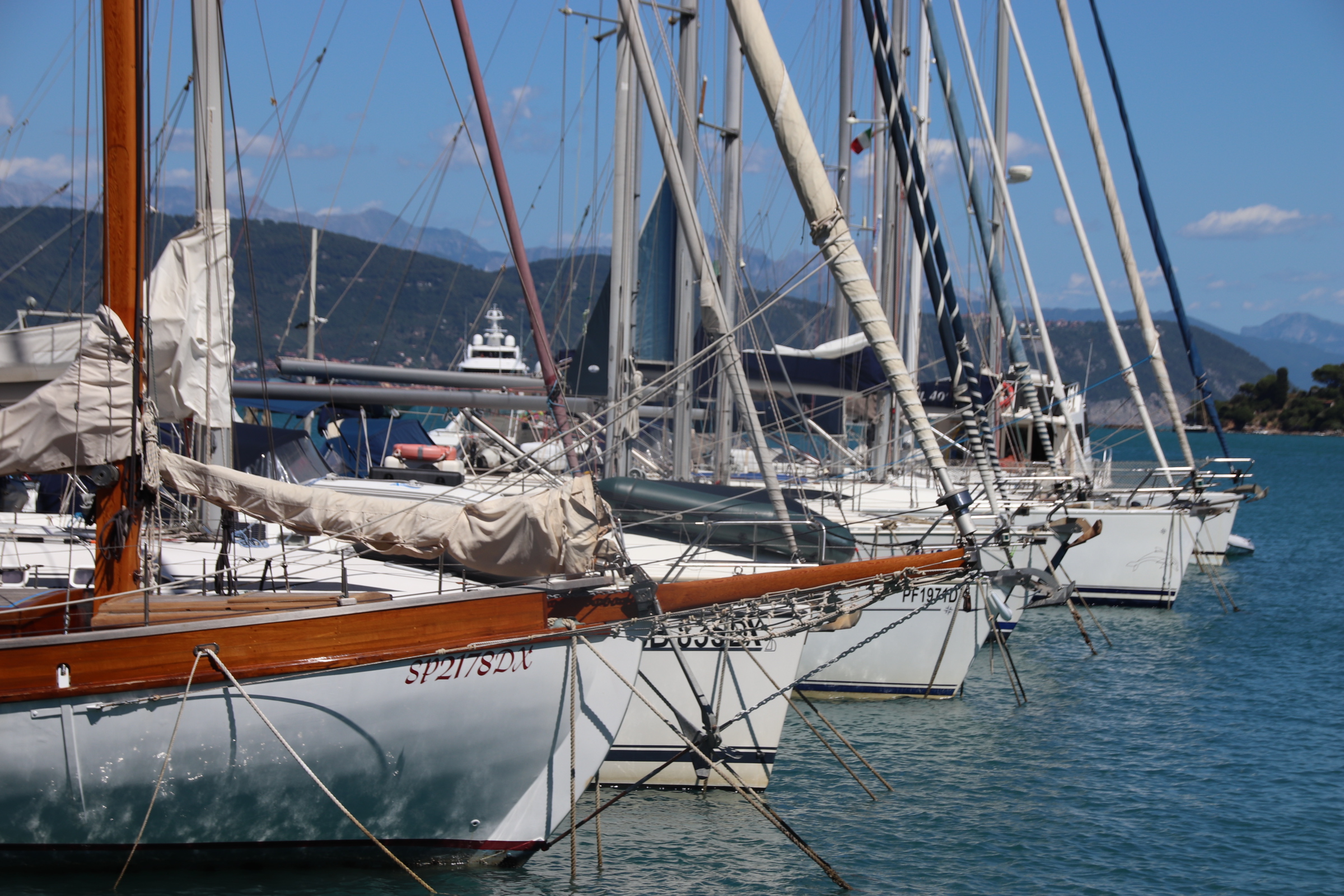
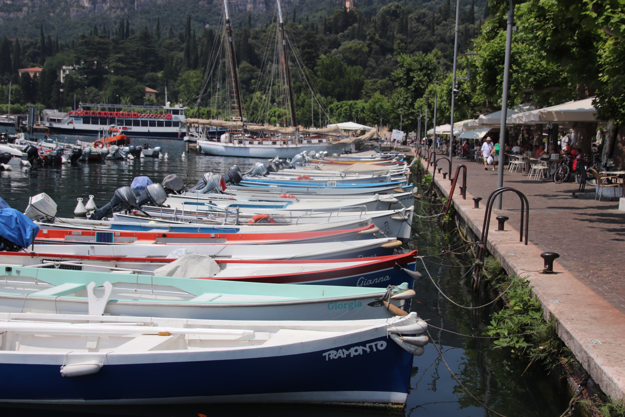
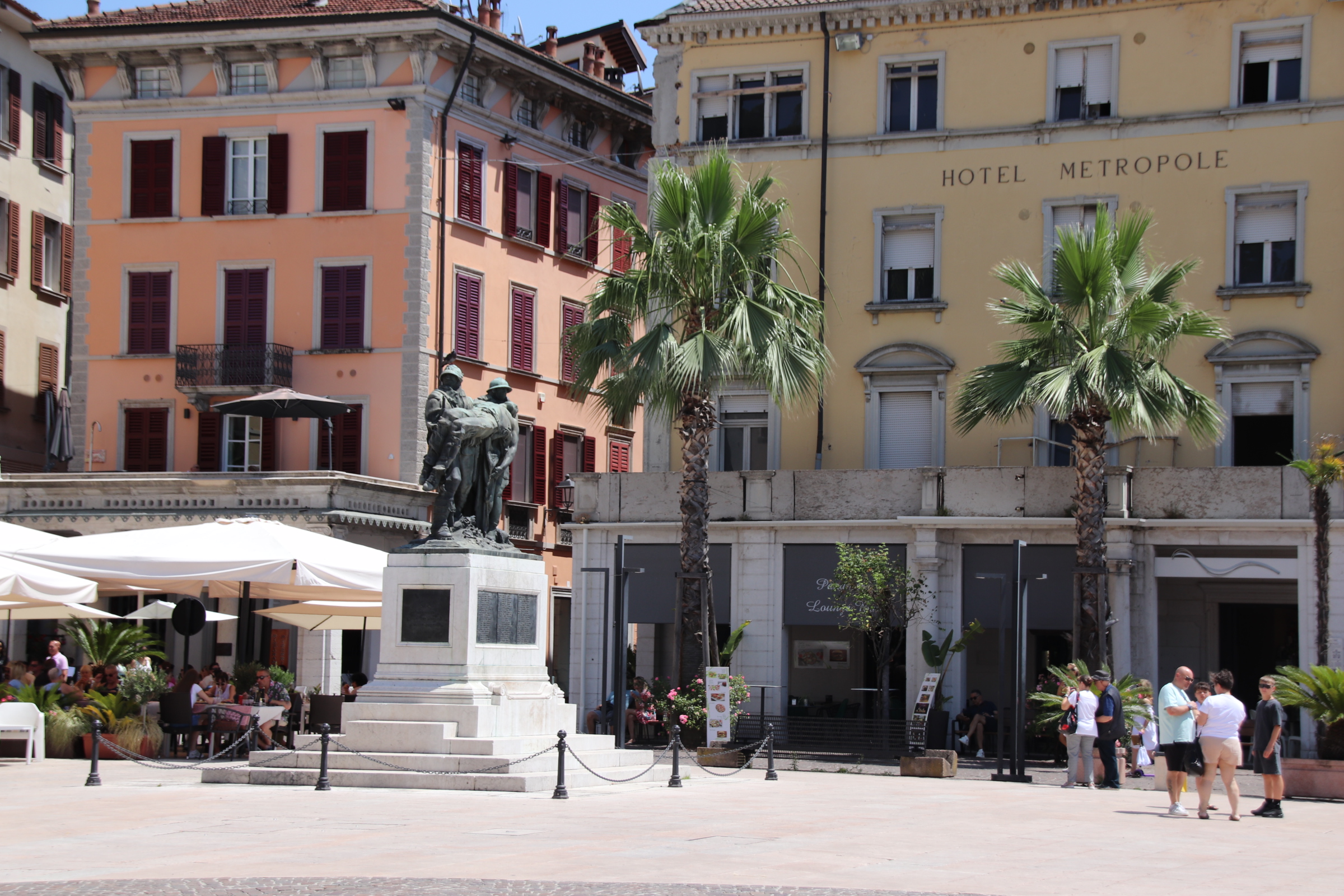
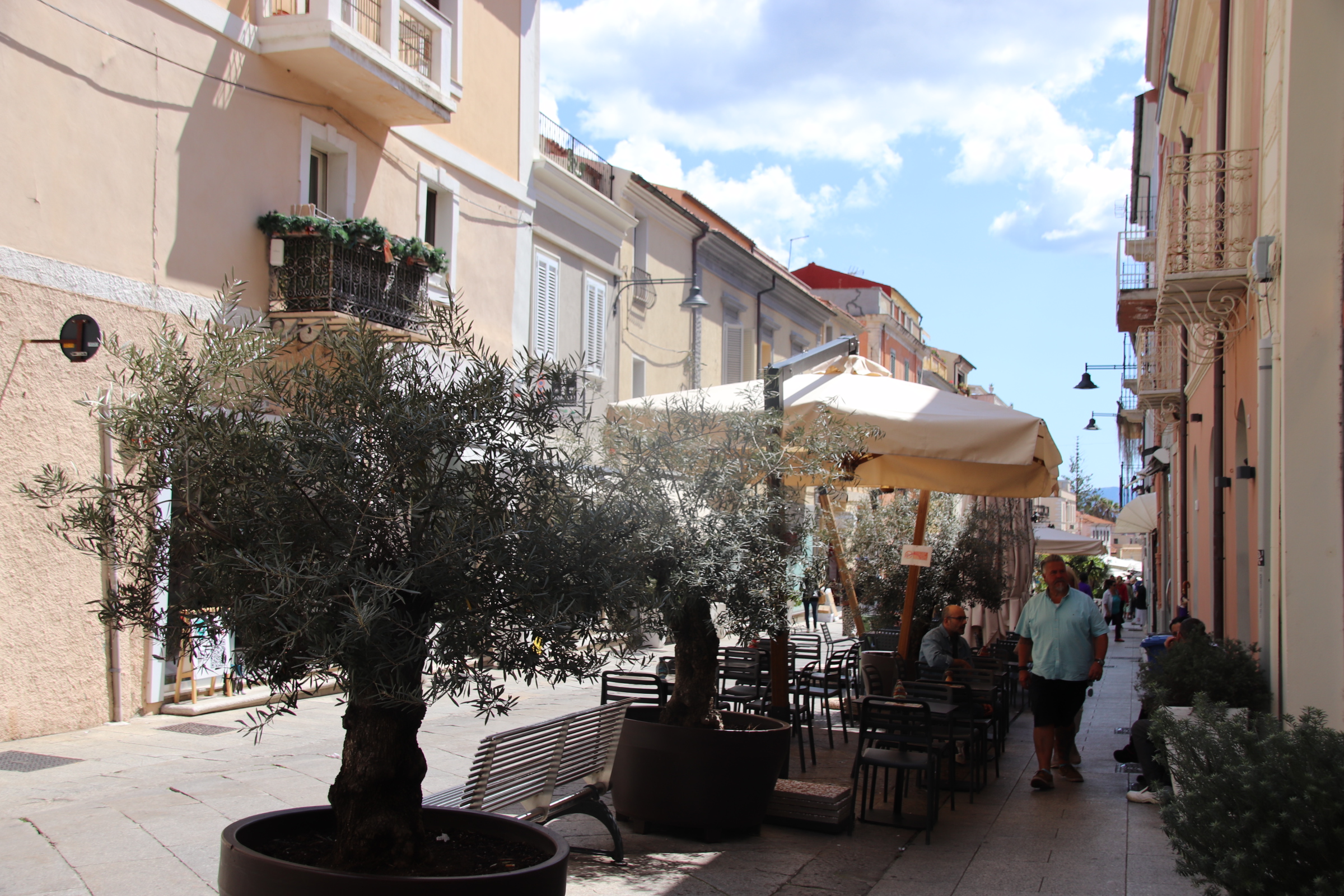
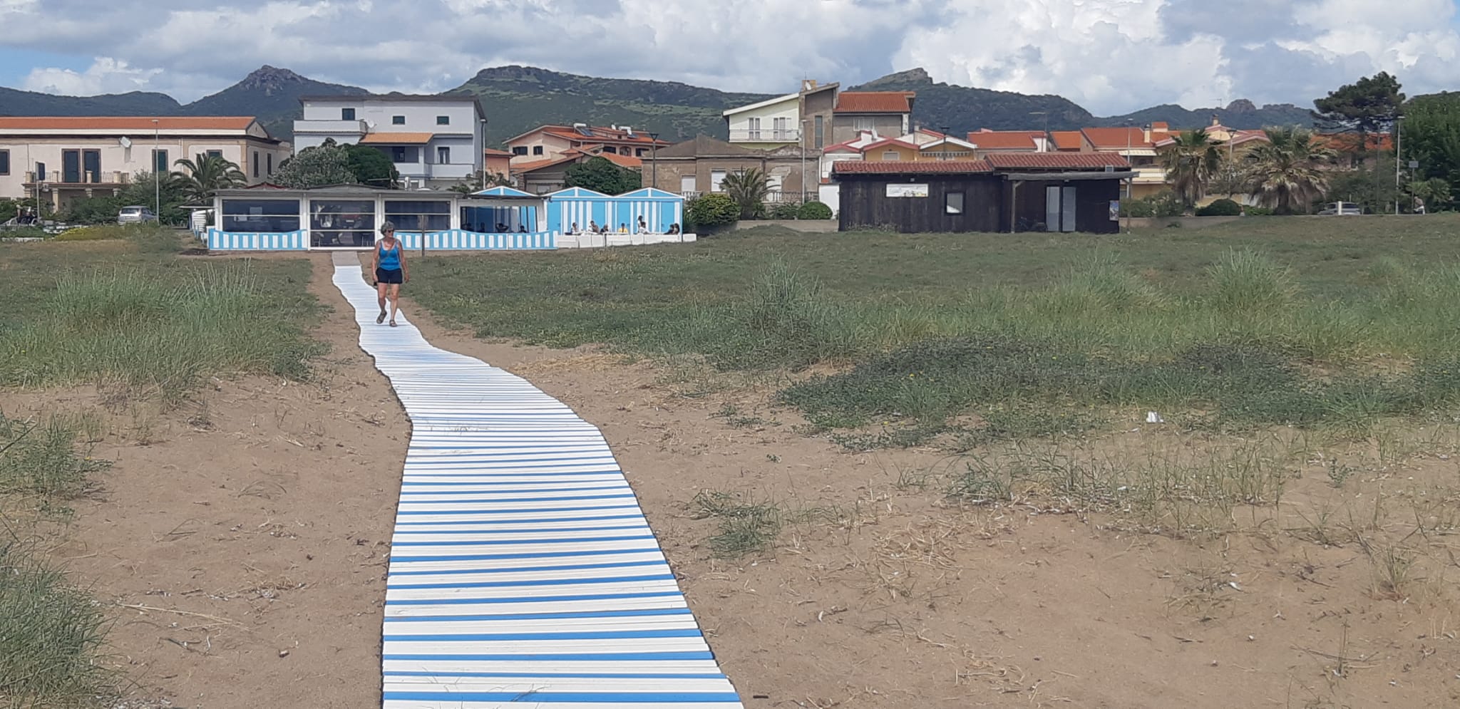
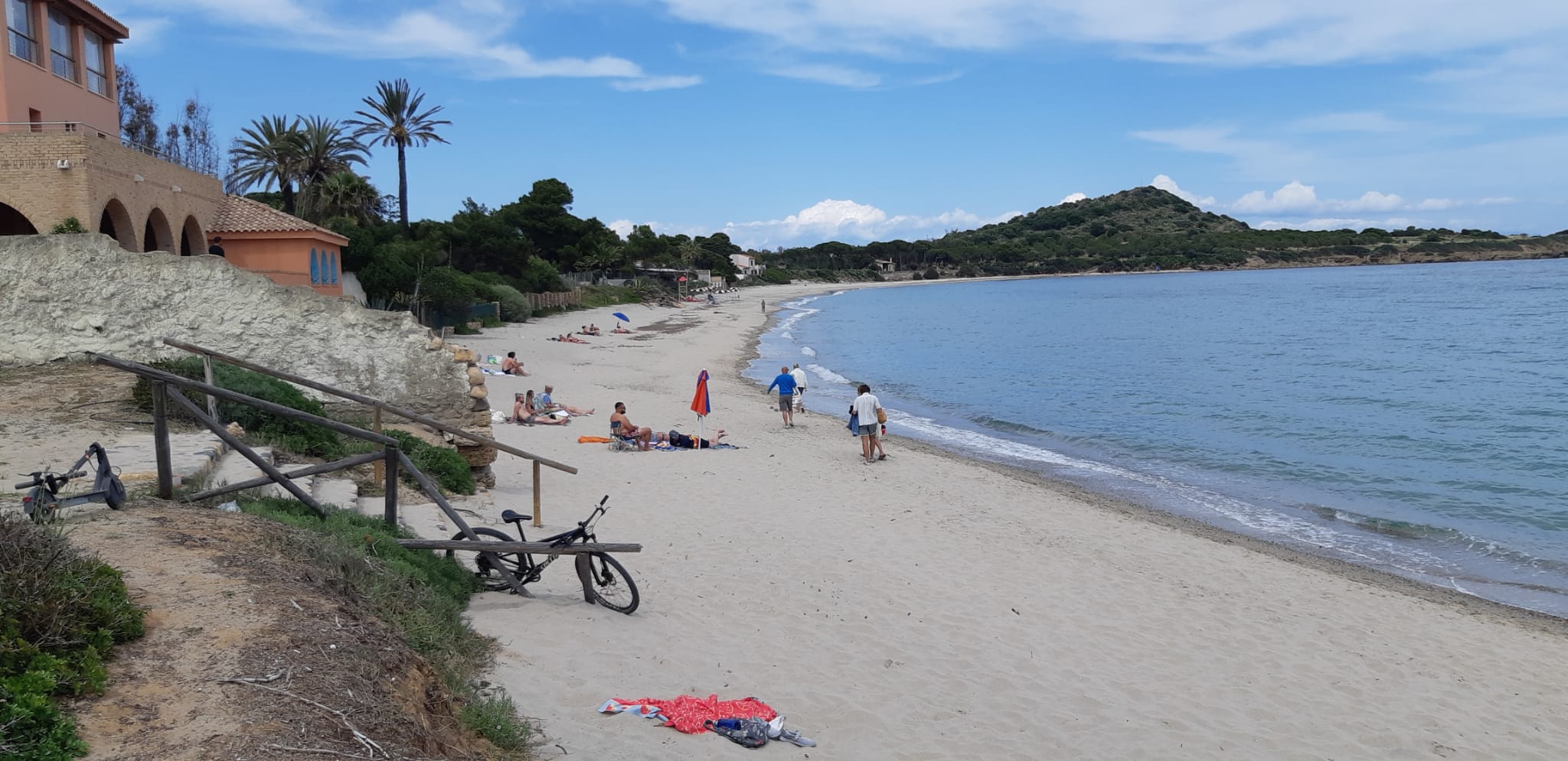
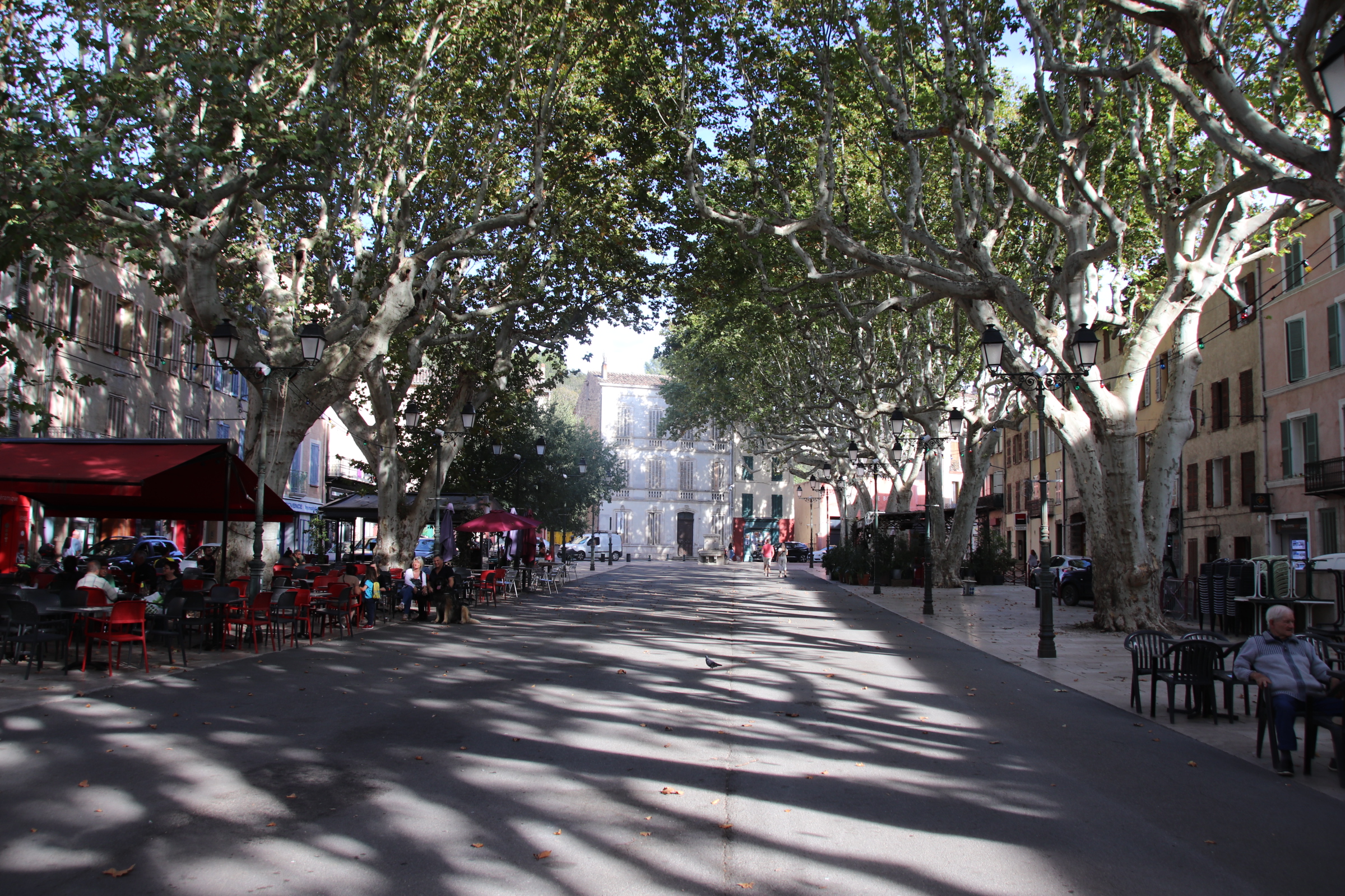
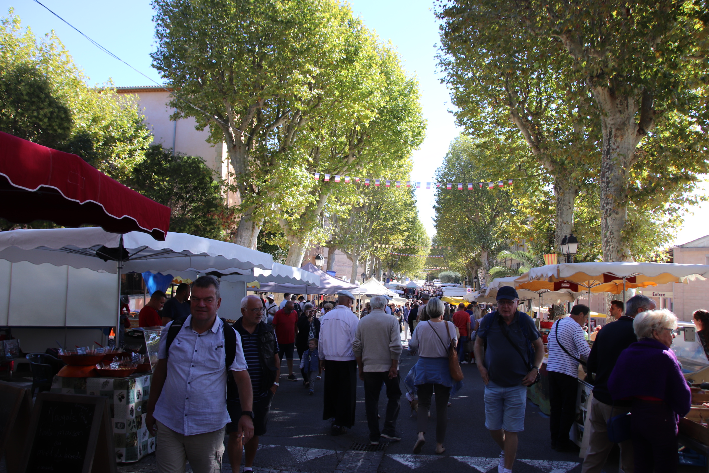
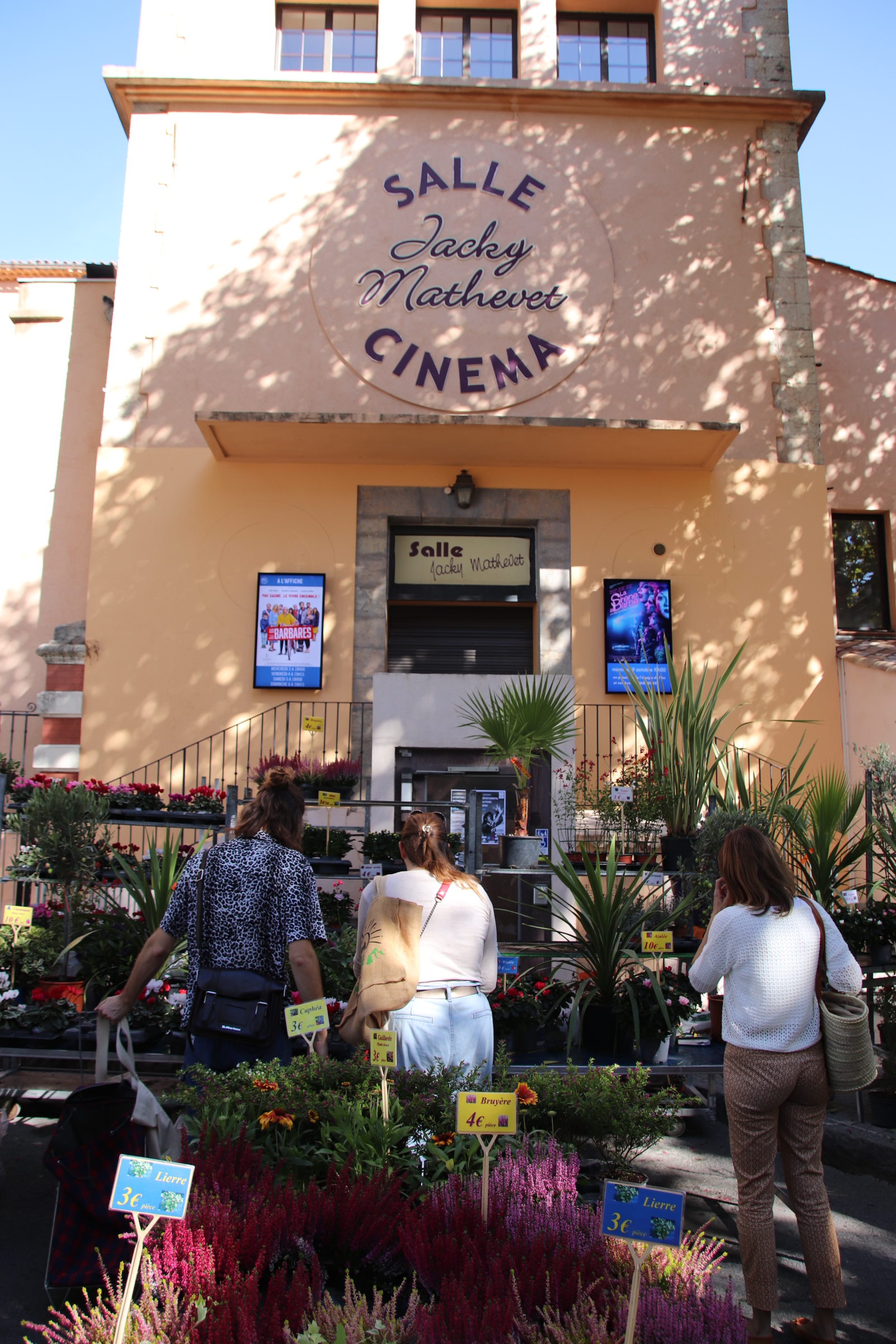
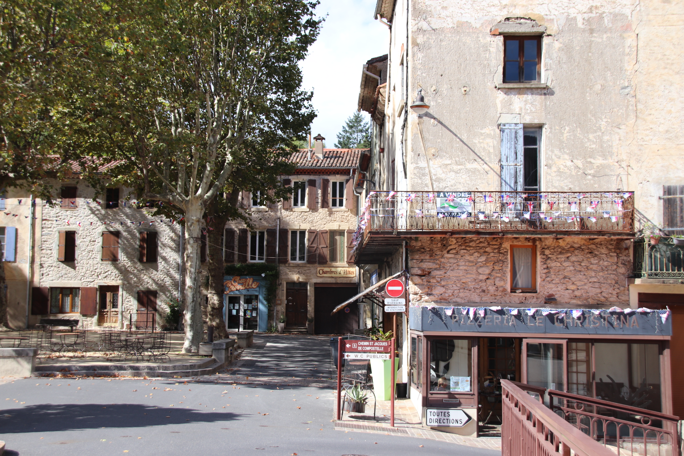
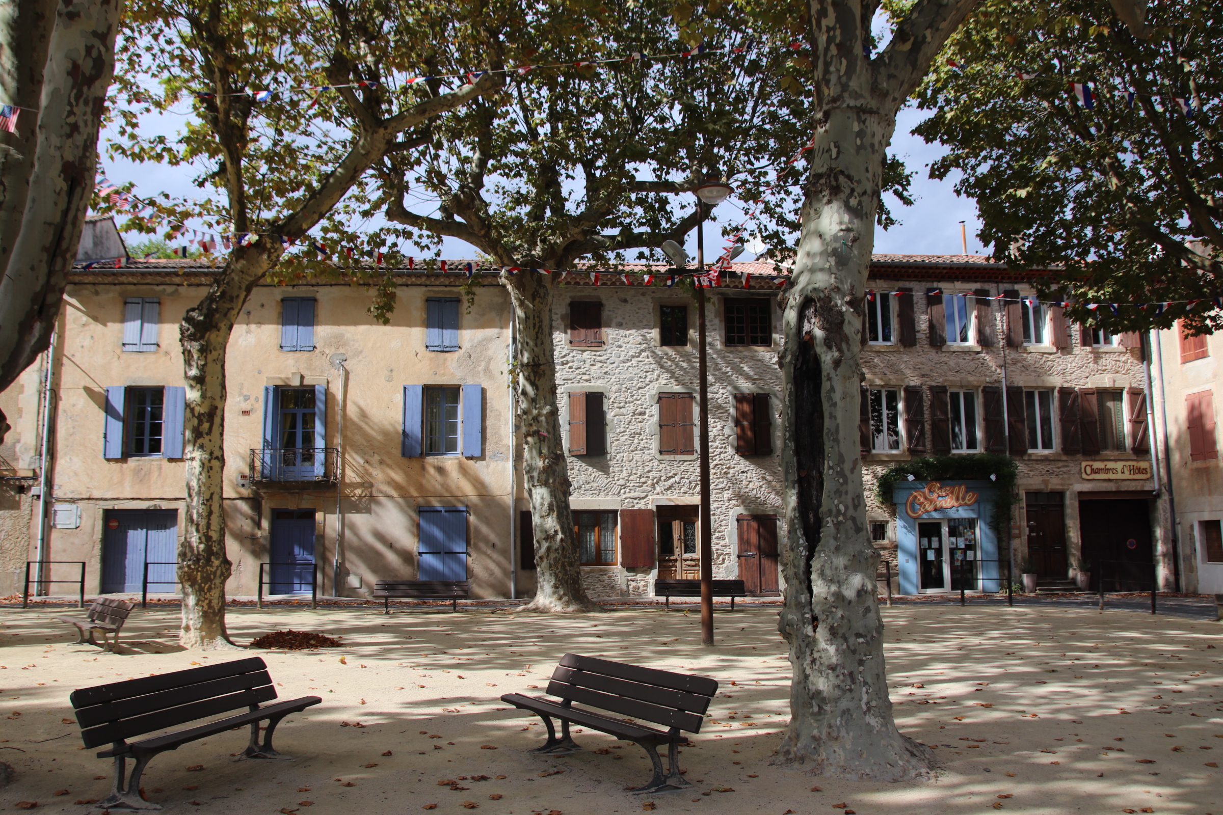
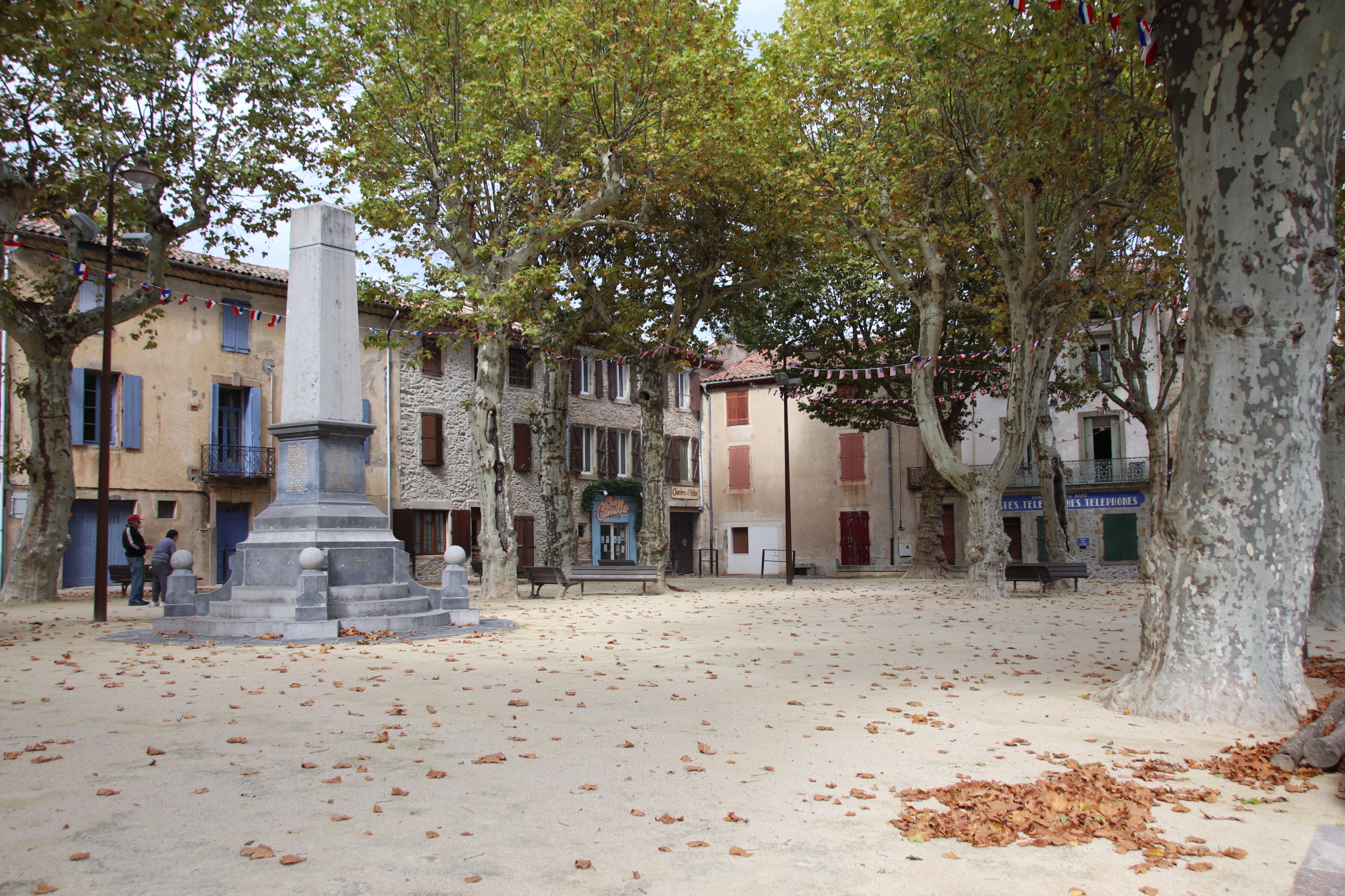
A quick drop into Casoli for supplies.
Then it is a few bends back to Macchie & home.
Just 47 km of wonderful scenery, fascinating history & amazing views.


You must be logged in to post a comment.