Around Mount Snowdon by car to visit Gelert’s grave

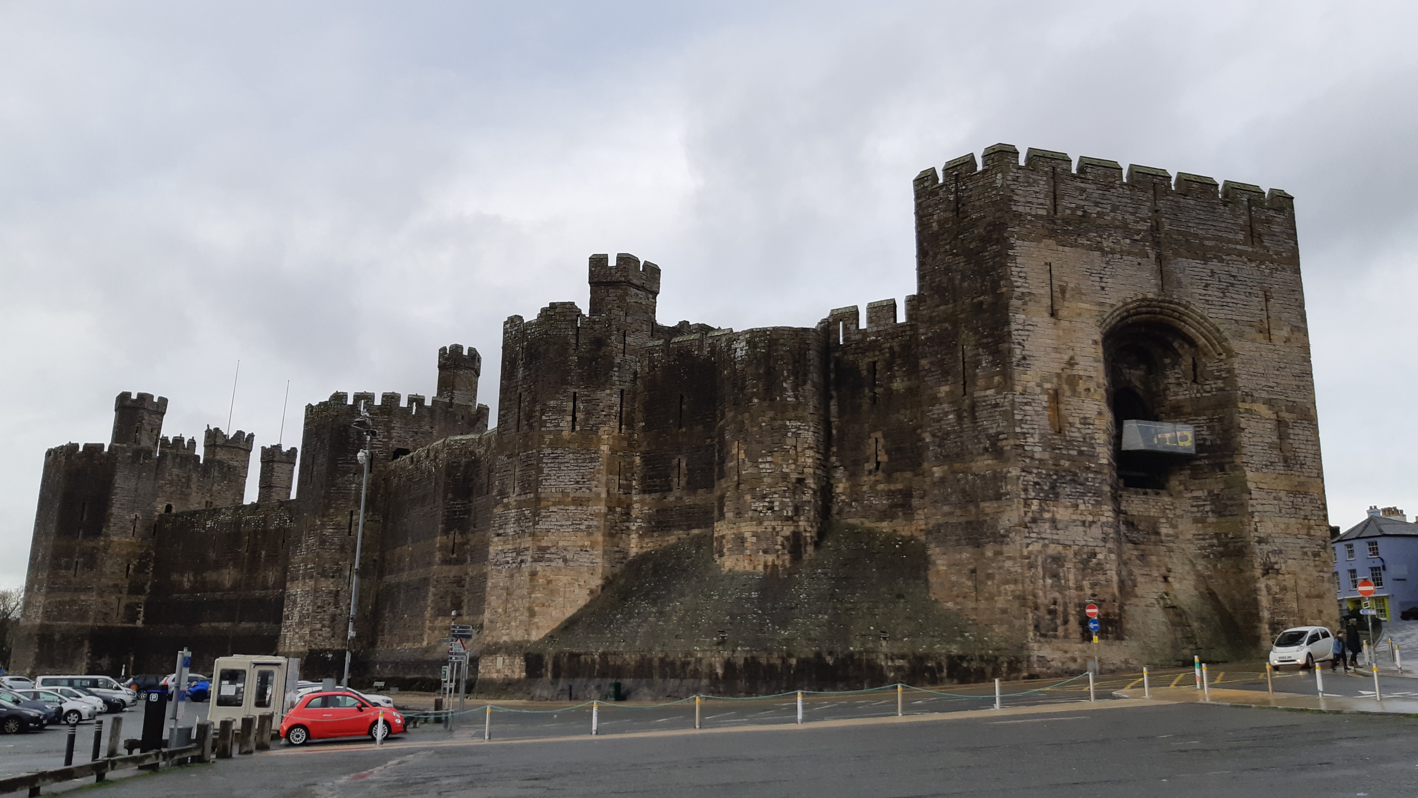
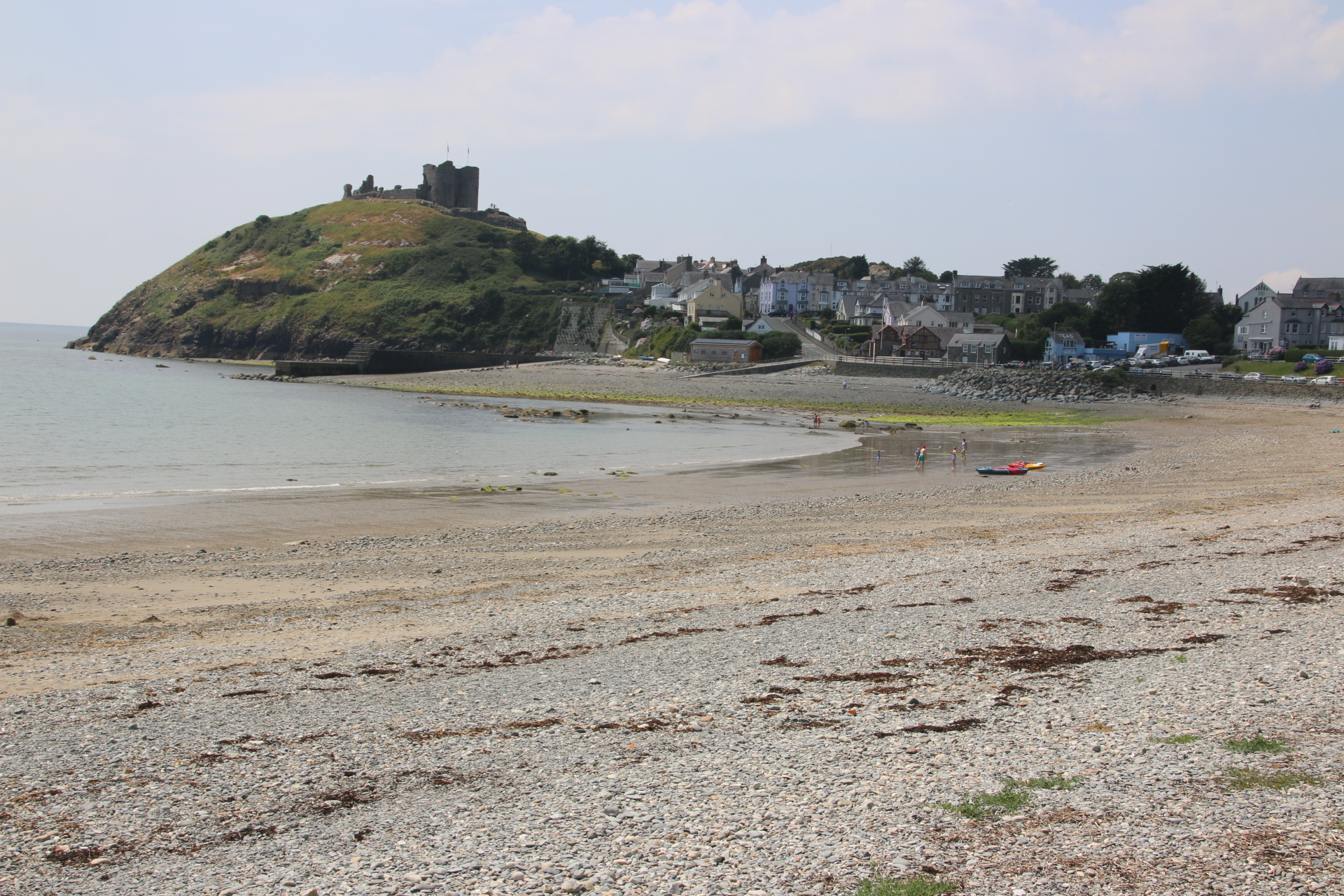
The skies cleared today. It was great to get out there to explore the national park under crisp, imposing skies with nothing better than taking this circular route into its heart, whilst keeping the centrepiece that is Snowdon always in sight. The road starts and ends in Caernafon, running to the north of the mountain, around its eastern edge and returning via Beddgelert. The drive is magnificent. It is equally popular with cyclists who seem to relish the challenge of rising peaks whilst appreciating the winter colours & textures of these wild, craggy, mountains.

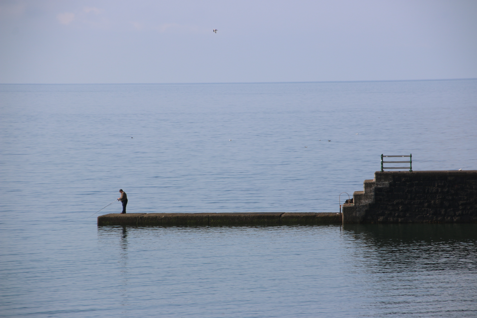
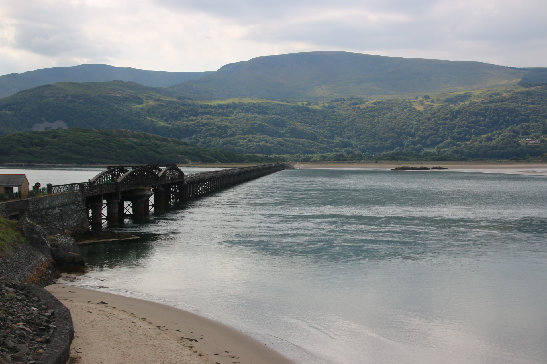
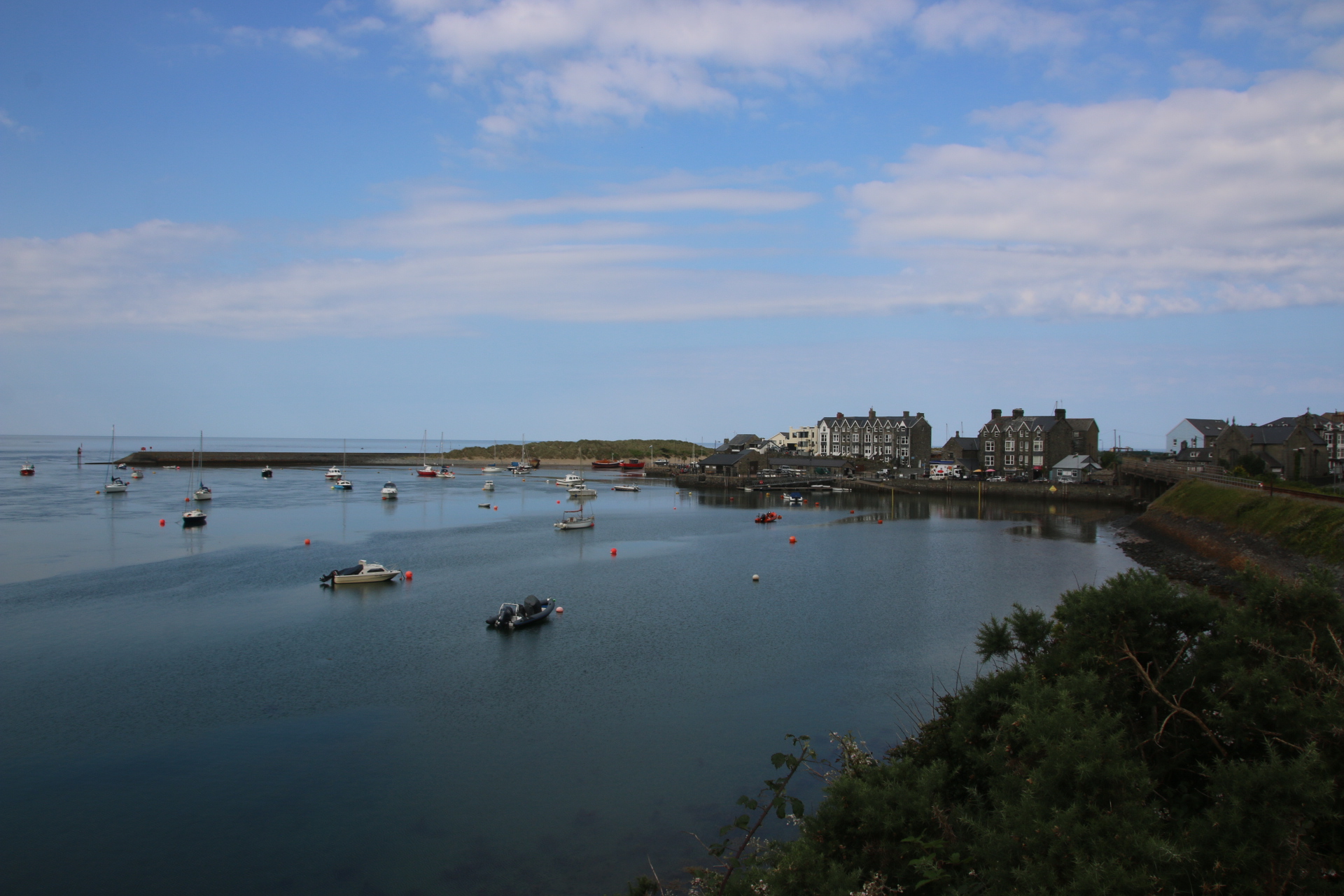
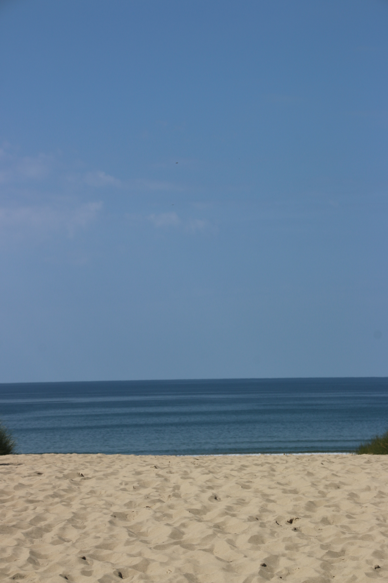
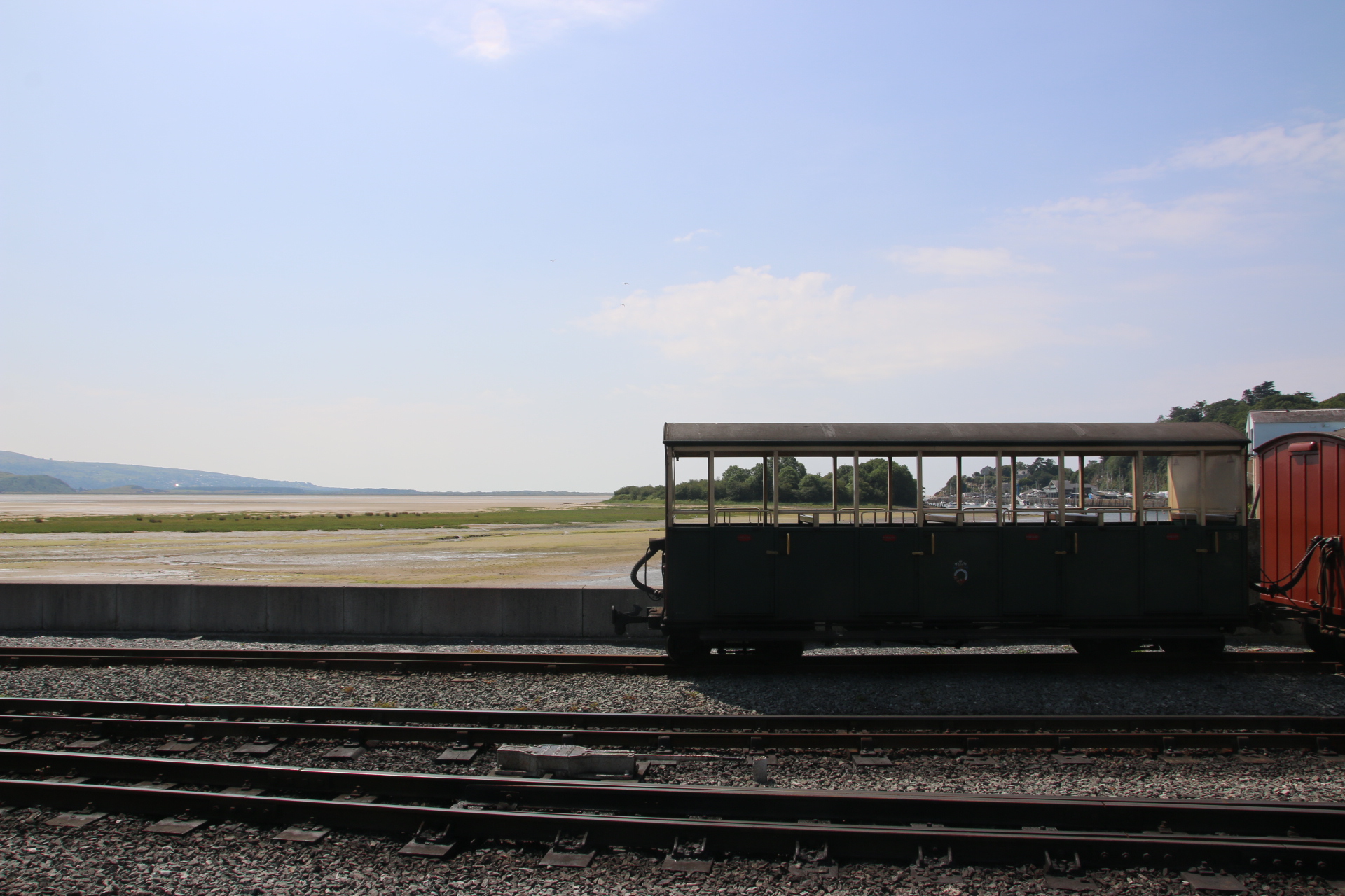
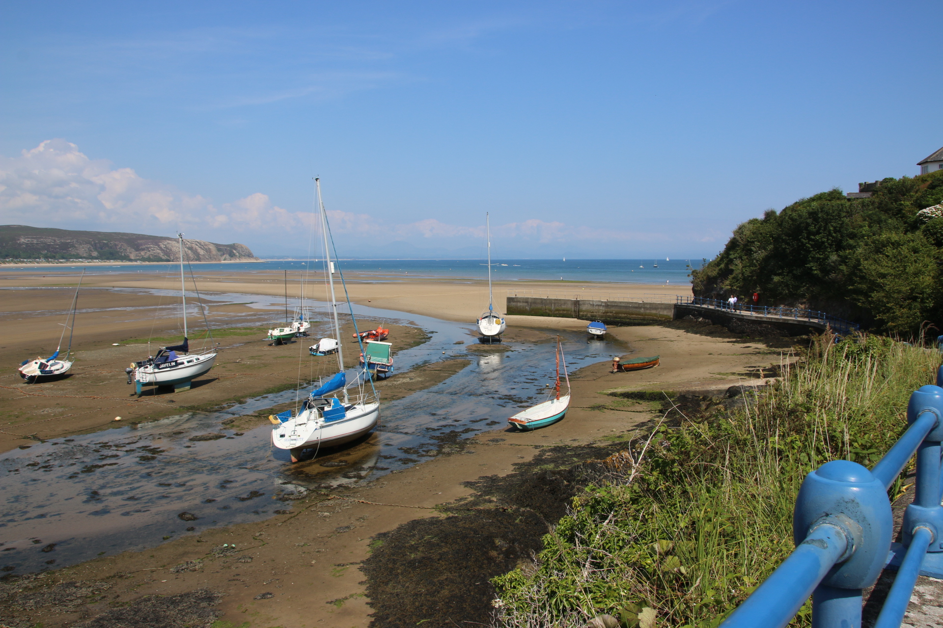
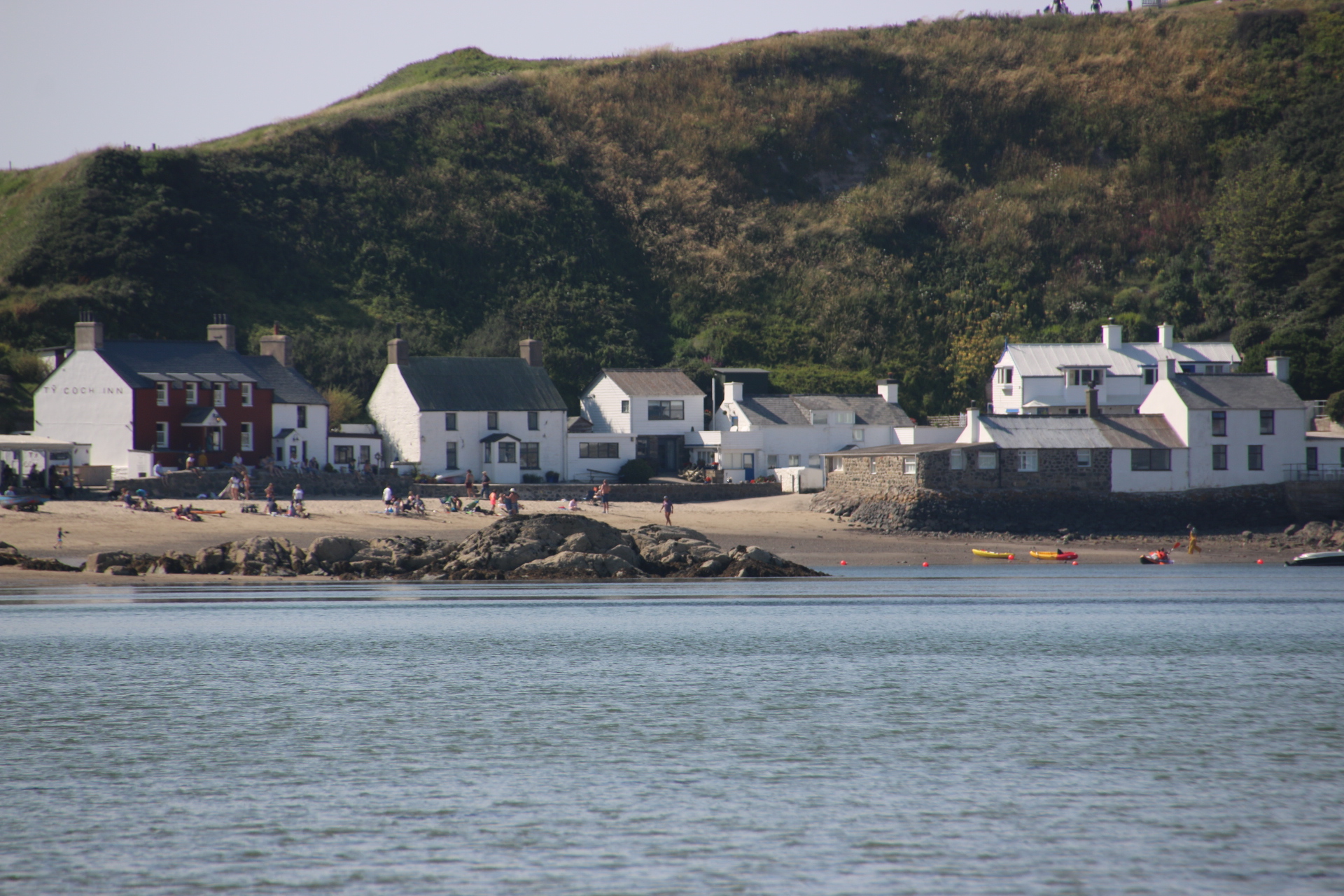
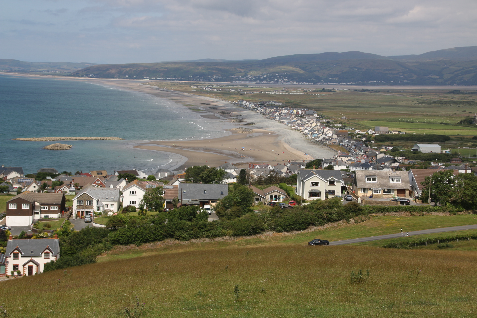
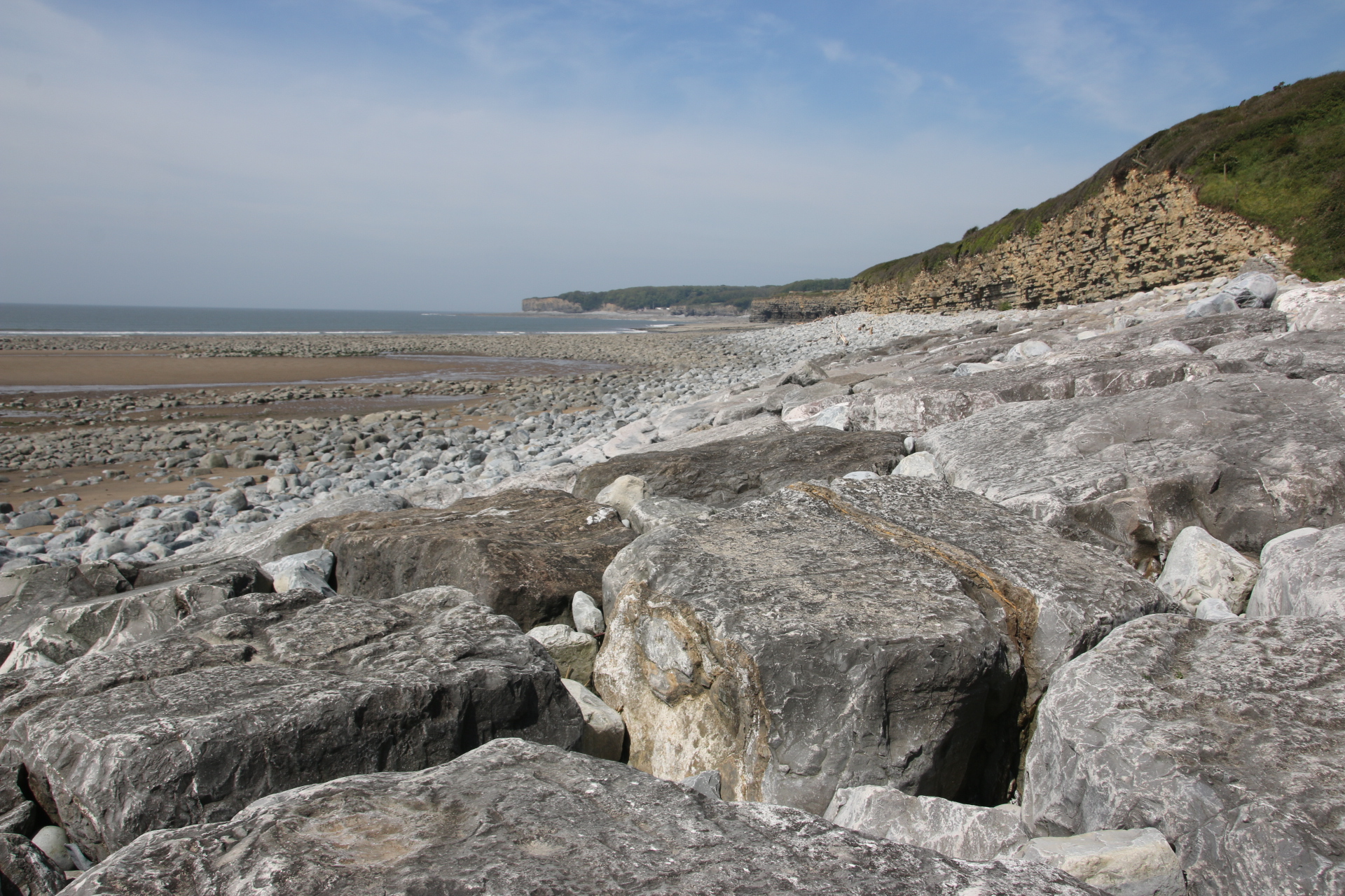
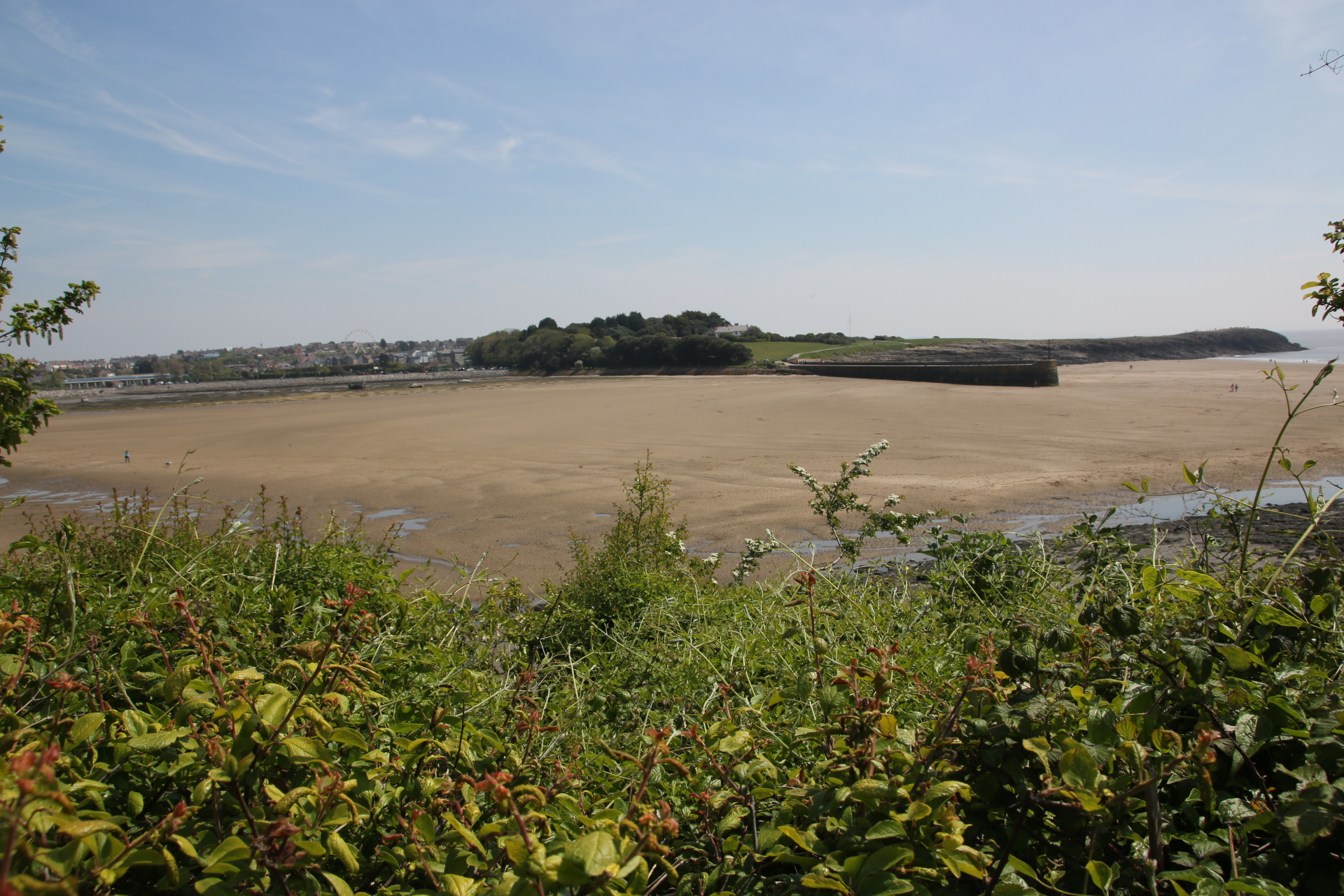
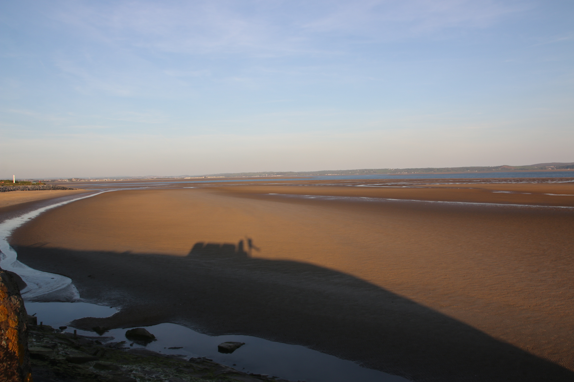
Words are insufficient in describing the glories of this landscape. I can only share images of the surroundings and hope that you can feel the contrasts, sense the awe and absorb the strength & delicacy of sky and ground as they combine to take your breath away.

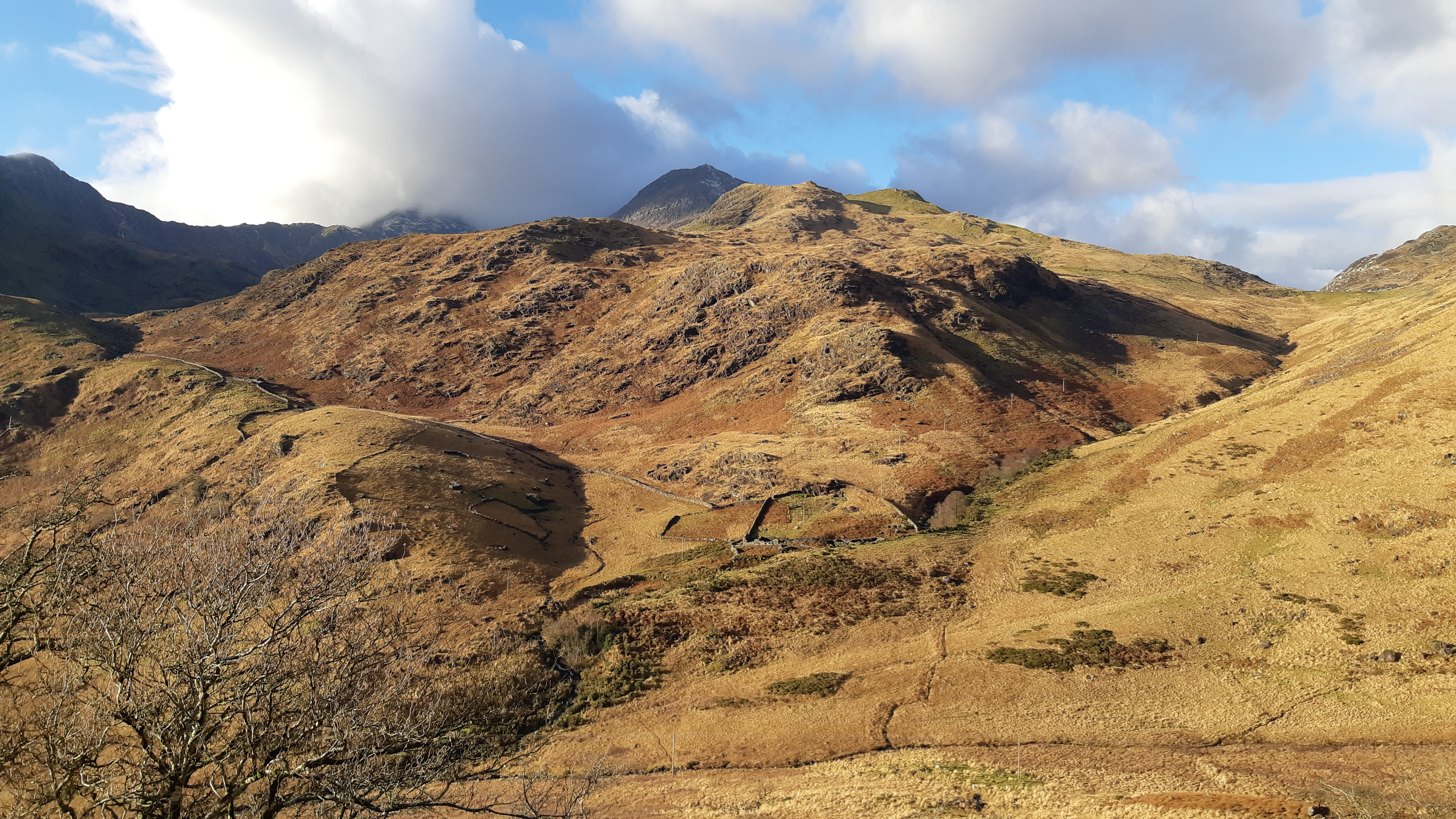
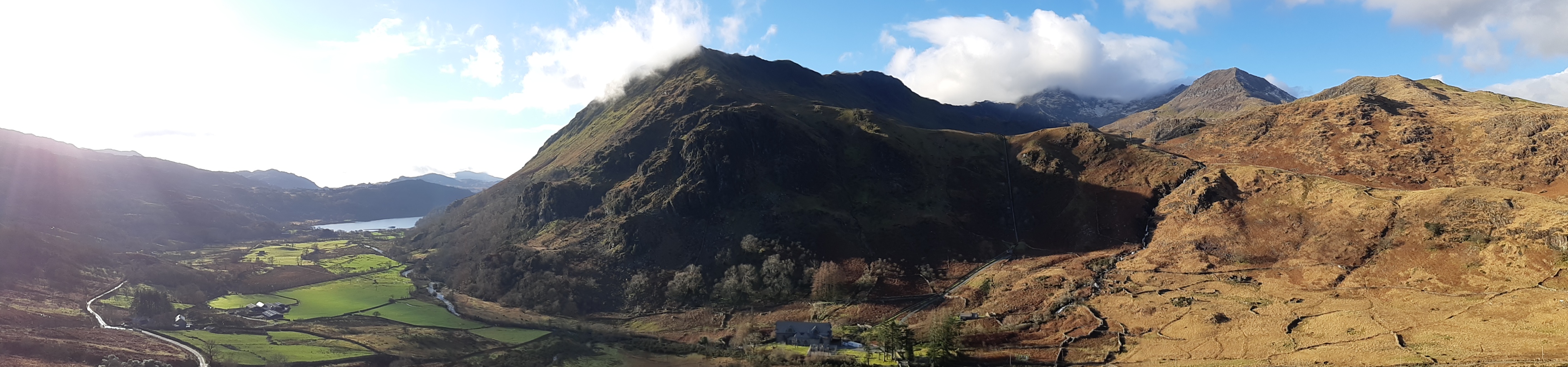
Now you might notice that these images show no multicoloured hikers striding through the heather and hues of tan bracken. This is really surprising as every piece of roadside where it is possible to park a car, has an empty car or van parked there, presumably with their occupants off hiking or canyoning or chasing through the moors and crags. There must be thousands of them lost to sight as there are hundreds of parked vehicles lining every bit of spare tarmac.

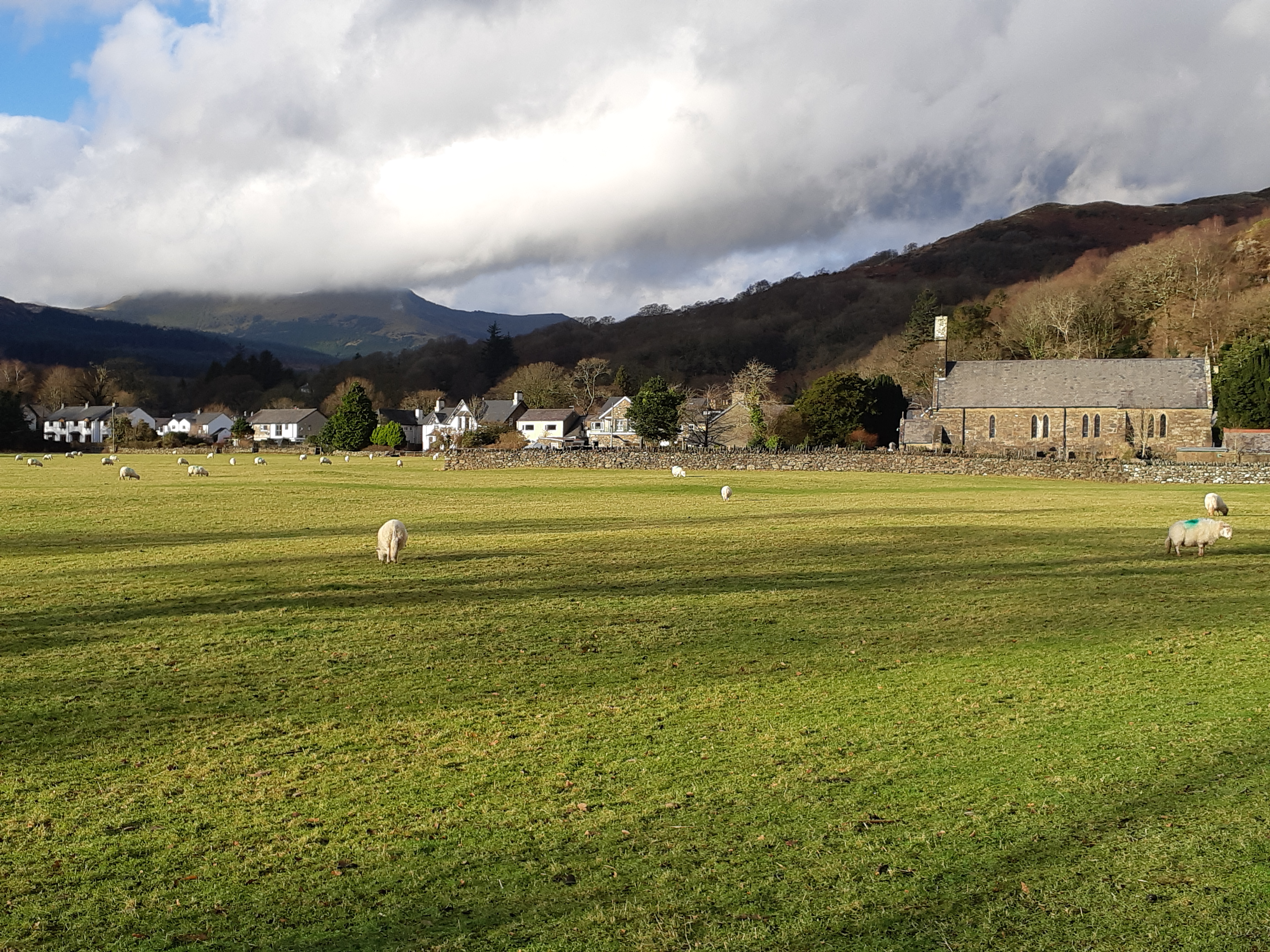
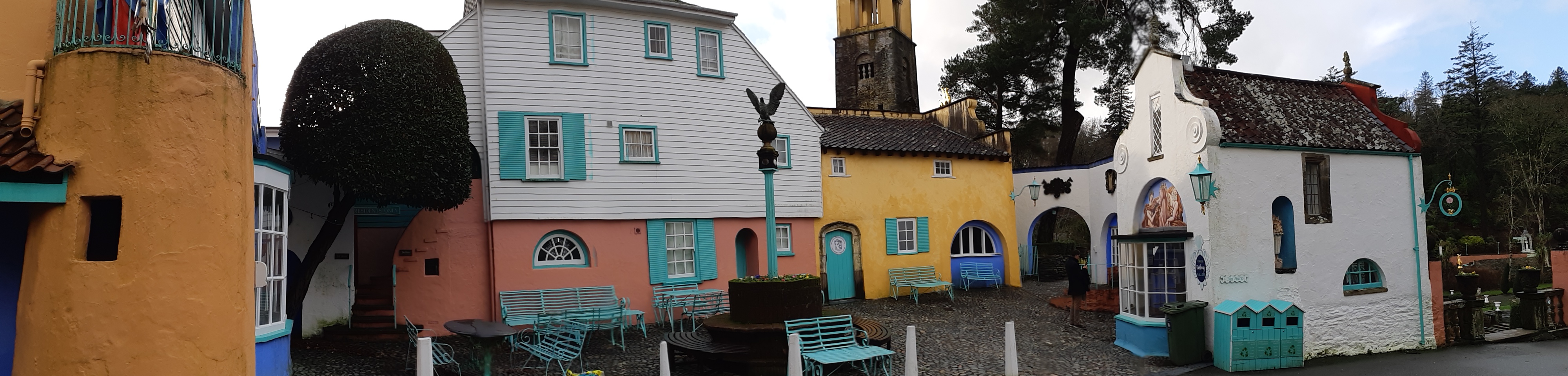
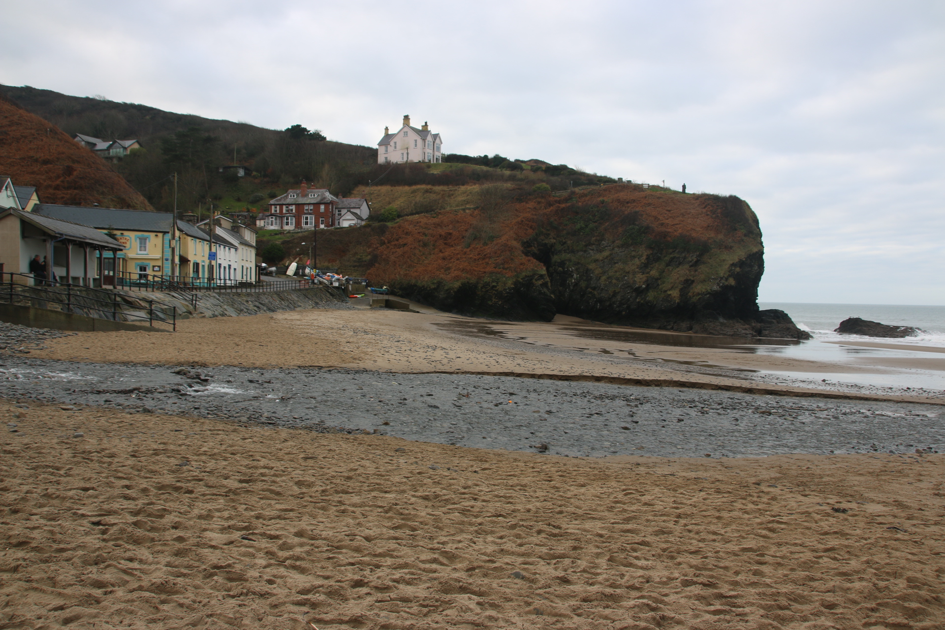
Beddgelert is known as the prettiest village in the park.

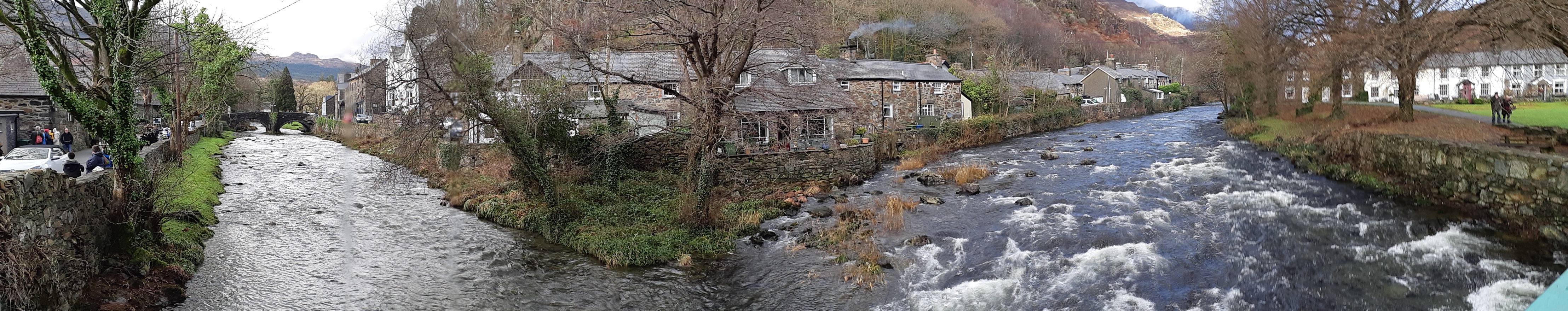
A joyful, trickling stream gurgles contentedly through the settlement, with sandbags guarding the occasional doorstep being the only indication that there are times when angry roars of weather disturb the tranquillity. There is not a lot here – a few guest houses, a couple of pubs, cafes, stores and a few rows of quaint, whitewashed cottages;

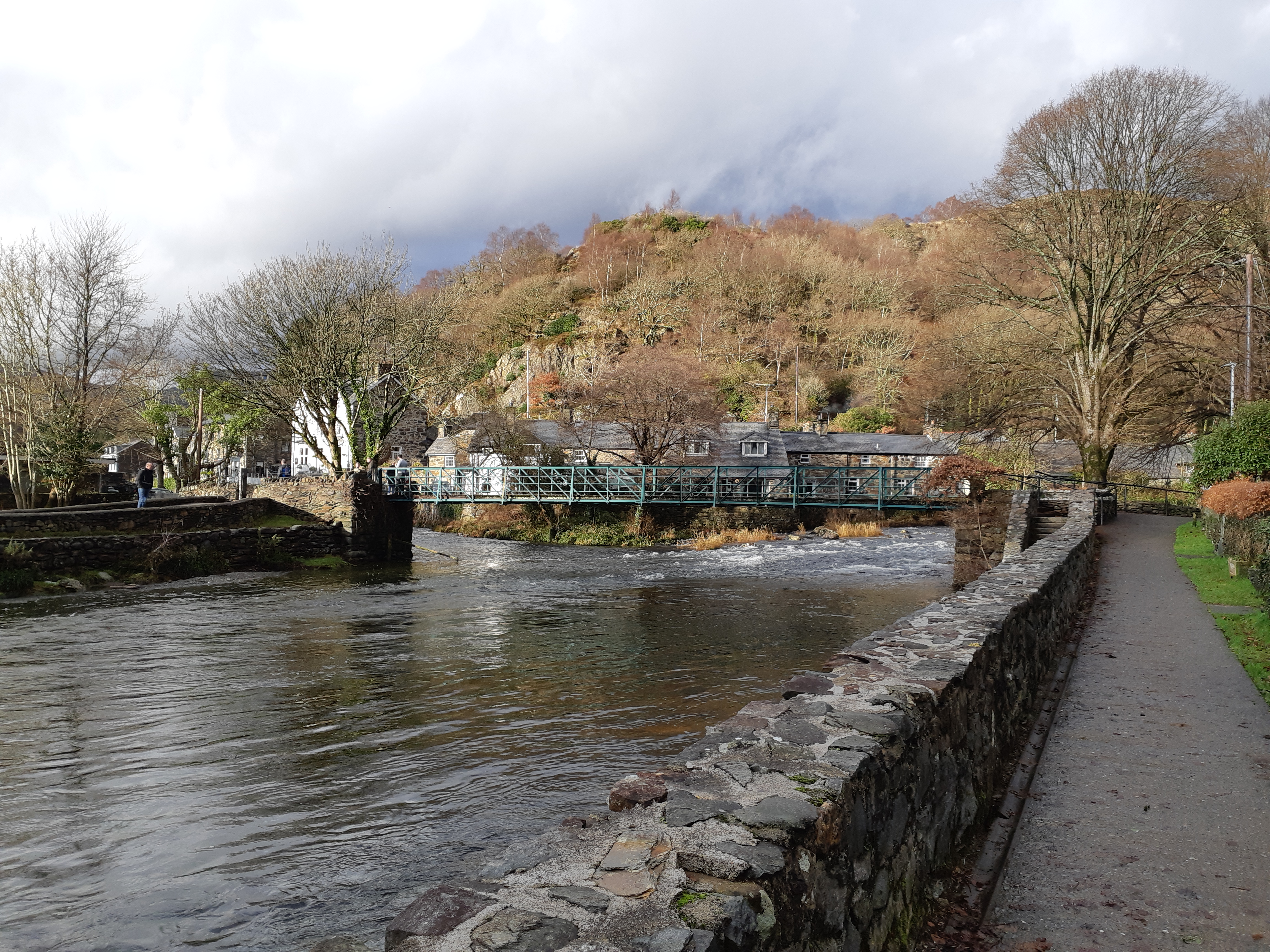
oh and the grave of Gelert, the faithful hound of King Llywelyn who had a Palace in the village. Returning from hunting one day he was greeted by Gelert, jaws dripping with blood. Seeing an upturned crib, the king imagined the worst and assuming the hound had attacked his infant son, plunged his sword into the dog’s heart, killing him immediately. It was only then that he discovered his child underneath the fallen cot and not only that, but the bloody body of a dead wolf who had attacked the boy lay nearby. Wrought with guilt and grief, Llywelyn buried Gelert outside the Palace walls beside the stream – a cairn of stones still marks the place where people remember the bravery of this faithful hound.

Sailor’s Trousers in Snowdonia

Arriving in Tai’n Lon for a week in Snowdonia was delightful. This small hamlet is huddled around a ford through a typical bubbling mountain stream and we have rented the converted mill. Teresa had assured us that the ford was passable in most vehicles except in the most inclement of weather. Despite some trepidation and with the assurance of a neighbour, we crossed without incident, unloaded our luggage & supplies and recrossed to park up on the higher bank.


The Mill, a really excellent conversion, is snug and comfortable with underfloor heating and 2 wood-burning stoves – a great base from which to explore North Wales.

However, little did we know that Noah lived close by and he was well advanced in his preparations for the Flood. Not only was the weather so inclement that it rained since our arrival with monotonous regularity but it also deluged with such force that at times it sounded like a symphony of African drums on the velux windows – rhythmically soothing any growing anxiety about rising stream levels. The waters did grow & snarl & grabble to the point of preventing vehicular access but the narrow, hand railed bridge was sufficient for pedestrians to walk over with logs, food etc like Sherpas crossing Himalayan torrents to provision groups of intrepid explorers.


So trips out were made in the gaps in the wet weather. I always feel that grey, stormy skies provide atmosphere and character to places and images. Well they did in Caernarfon where easily the best thing is the powerfully impressive castle built by Edward I.

It rained on the day we visited Criccieth. The ruined castle was built & inhabited by Welsh Kings until it was taken over by, yes that’s right Edward I again, who strengthened the defences and used it as a second home to contain the locals.

The weather was mostly kind to us on the visit to Portmeirion. The rain ceased temporarily and sailors trousers appeared within the grey skies, although sadly not enough to make a whole pair and only permitting short slots for the bright facades and colourful rendering of this magical place to stand out from the gloom.


And what a delight it was. These images will cheer you up where ever you are, whatever the weather.

Anglesey come rain or shine

I crossed over to the island of Anglesey on the Menai Bridge, built to take stagecoaches in 1826 by Telford. Not much has changed, only the vehicles using it.

I decide to go anticlockwise around the coast of the island.The island is a poor neighbour compared with the grandeur of neighbouring Snowdonia but it can piggy back on the peaks in the distance which overlook the Straits, so narrow in parts and include them as part of their own. The landscape is more mellow but striking has a unique feel with low rolling fields and open land playing host to grazing animals.

The weather is breaking. I am aware that rain is forecast later in the day. You’ll see from the images where I have to play hide and seek with the drizzly showers. But not in Beaumaris, my first stop. In the fading sun the magnificence of the scene is amplified. It boasts a pier. However this structure would not push anywhere in the UK Pier of the Year competition. It may be the best, well only, pier in Anglesey. However it could be top in the Best Spot for a Pier league. Look around and see what you think.

Red Dwarf Bay is such a cool name for a settlement. And the Ship Inn makes the most of its position on the edge of the bay.

Moetfre is absolutely charming.

In the past the area around Amlwich was the largest copper mine in the world. Cooper was used to line ship’s bottoms and to mint coins of the realm. The port was a bustling centre where copper was sent off around the world. It still has a certain atmosphere with an outer harbour used by modern fishing vessels and an inner harbour with evidence of its historic past.

Cemaes has a lovely little harbour.

I cross to Holy Island. Holyhead is the largest town on the island and the departure point for ferries to Ireland. It seems like a town that the world has forgotten. Everyone seems to pass through it and be on the way somewhere else. Its streets are full of tired buildings and shops I have never heard of advertising cheap goods from faded window displays. Locals are hanging around nursing cups of tea in cafes with 1950’s decor. I found the harbour as the drizzle hardened. It seemed appropriate somehow.

Here are the last few coastal settlements on the western side of Holy Island and across to Anglesey.


Rhoscolyn

Rhosneigr

Aberffraw is on an estuary but such a lovely spot that I’ve included it…and you can see the dunes that line this part of the beach.

So I have completed my two island tour and arrive at Brittania Bridge, built by Robert Stevenson to carry rail traffic direct from London to Holyhead. In 1972 a fire destroyed much of the structure. On the original piers a new bridge was built with two levels – the railway crosses on the bottom and a new road bridge was built on top.

I have now completed the whole Welsh leg of my project, visiting every sizable settlement with a beach of one kind or other. I’ll see you on the next leg.

The rough and the smooth of the North Wales coast

I have to share these two images from Criccieth. They both capture a moment on the jetty. Last night the local girls & boys came out to play. This morning a lone angler was trying his luck in the dawn peace.

Today was a day with a lot of smooth and a bit of rough thrown in towards the end. I popped into Caernarfon on my way along the north coast of the mainland – well worth a return visit. An historic walled town on the Menai Straits, it overlooks the coast of the island of Anglesey a few hundred metres away. Its narrow streets and many arched gates match the huge defensive tower that faces out to sea.

Now I have a problem. I thought when I discovered Bangor pier that I had found my new, favourite pier. It is really hard to find. Any signs for the pier abandon you in the middle of town with no direction to go in. Sleuthing my way through the towns streets I eventually find the pier at the end of a series of residential streets. Coming around a corner it takes your breathe away with its elegant turrets and weathered boardwalk. It is 1/3 mile long, almost touching Anglesey. At low tide the whole Strait is dry with only a narrow channel of water at the far end to allow sea—going vessels through.

‘So what’s the problem?’ you ask. Well Llandudno is the problem. What a gem of a place this is and what a magnificently glorious pier struts its stuff out into the line between the blues of sea and sky.

Both are magnificent. I thought that when I found Colwyn Bay Pier that there would be a third competing for the accolade of THE pier of North Wales. Well no. I drove along and around the promenade at least three times until I spotted something:

I stopped and asked two local guys who confirmed that I had guessed right. This was all that remains of the famous pier. Last year, 2018, it collapsed after years of neglect and the council had to remove all the wreckage except for this monument to past glories.

I stopped at other places on my way around the coast – Deganwy, Rhos-on-Sea where the clouds gathered to keep me on my toes

Rhyl had some photo opportunities. It is amazing how a low tide transforms all these places. A high tide and you think ‘oh, there’s a few nice buildings’. A low tide adds colour and atmosphere and scale and turns it into a completely different place. Look at these two images. The boys, especially, are so absorbed in messing around in the sand & water.

Prestatyn

So now to the bit of rough. It’s not rough if you like static caravans. Towyn is my idea of caravan hell. I’m going to design a computer game entitled ‘Escape To wyn’ (clever title, eh?). I have to explain that along here the coast is hogged by the inhabitants of Towyn. Towyn consists of acre upon acre upon acre of blocks of static caravans. A maze of grid-ironed routes tangle themselves around these between high pre-cast concrete walls only disrupted by the occasional entrance to a ‘park’ or a ‘camp’ or by an arcade of arcades or a speakered line of ‘factory shops’.

I eventually emerge unscathed and risk a cuppa tea at the bijou seafront refreshment stall on the edge of this nightmare.

The day ends on a high though. The last place on this part of the coast before you each England, is called Talacre. It doesn’t look much on the map – a load of camping and caravanning symbols and, yes, you have to go through both. Make the effort. Take the walk from the pub, through the car park, across the rough ground and through the gap in the dunes. There is hardly anyone there but these images show why this is one of my favourite beaches.

Awe and Wonder on the Snowdonia coast

Although this project is about coastal settlements, the great thing is that I have to drive through some wonderful country to reach each one. And today was the best. Further up the coast from Aberyswyth is Barmouth. I head there through the wonders of Snowdonia National Park. Roof down, sun up high, music on…..hair flowing (maybe not!). Forests, woods, farmland, streams, rivers, bridges, moor, marshland, lakes, hills, distant mountains. Then to arrive at wonderful beaches backed by dunes. What else can this man ask for?

Barmouth sounds quite ordinary. I think it mostly is. The west coast main line crosses the river on a wonderful Victorian gantry of a bridge.

Here I came across the harbour in the early morning. Not a lot is going on. There is no evidence of the passenger ferry over the estuary to Fairbourne – surely we are in high season. It is July. The main beach of soft sand and low dunes and the car park and small fun fair is on the other side of town.

Along the coast there a numerous small settlements, identified from a distance by a church tower/spire, usually surrounded by bungalows and static caravans. Spaced out between them are clusters upon clusters of holiday caravan parks. Were do all these holidaymakers come from? And where do they spend their time?

The next large settlement is Harlech with its huge castle ruins looking out over the coast, keeping am English eye over its Welsh inhabitants. Funny how they both play cricket in the same test team now. This was going to be my favourite beach, long, soft-sanded dunes, almost empty; but I doubt on to see so many similar ones that it is impossible to pick one above another.

Porthmadoc is a terminus for the Ffestiniog (don’t know the spelling) Railway and the station/bridge acts as a barrier to the sea. Grim one side you can see sea in the far distance. From the other you can look up the valley and get a view to die for. People would travel 1000s of miles to get a view like that.

I’m going around the peninsula now. I will show you each largish village in turn, not, I hasten to add, the campsites or static caravan parks. First Criccieth

Pwllhewi

Llanbedrog

Abersoch, which I quite liked – a bustling, popular holiday village with bars & a bit of shopping

Aberdaron


And the best – Morfa Nefyn

Aberystwyth and beyond

This first day of the next leg of my coastal journey is full of sunshine and reaffirms for me that the UK is full of wonderful, magnificent, beautiful places. Today was full of them. I am in mid, moving into north, Wales. How about this for my first glimpse of these powerful headlands and those gloriously soft, sandy beaches, at least when the tide is out, in crescent shaped bays.

First stop Aberystwyth. Like many of these resort towns it mixes Victorian charm with some history, in this case castle ruins, and adds Kiss Me Quick hats & buckets & spades and loads of fish & chips. The pier is rather good; not long but nicely regal even if it is full of slot machines. In the background you might spy the vertical line of the track of the cliff railway. There are two beaches, separated by a headland where the castle ruins anchor the short pier to the land.

The evening light of dusk and the incoming tide give the same view a completely different feel. I prefer it.

Borth Sands stretches out in a wonderful coastal crescent. The low tide exposes the soft sand as the village hides behind the sea defences, spewing out beach-happy families to spend the day in the sun, layered in lotion, I hope.

From the desert dunes at the far end of the peninsula, across the slow-moving river, the village of Aberdyfi can be seen glistening in the sun.

It lives up to its potential when one takes the drive up one side of the estuary and down the other to explore Aberdyfi in more depth.

All in all, a great day and not a single disappointment. Good place for a holiday around here – family, beach, soft sand, hikers, hills, even a mountain close-by!

Dunraven Beach and Penarth Pier are highlights of the day

The wonderful thing about this project is that every single day that I have been away, whether it’s Wales or Whitby or Worthing, every day throws up at least one supremely amazing discovery. Today is no exception. I travel eastwards from Porthcawl. The beaches and headlands continue to be awesome and I wonder at their magnificence and beauty. Ogmore-by-Sea provides views over the sands back to Porthcawl itself as well as providing a lowtide backdrop of rolling cliffs, exposed sands and craggy outcrops of rocks.

From the cliffs of Southerndown, the headlands and bays of the coast can be seen rolling away into the distance.

One of the most striking out beaches is just outside the village at Dunraven. Down a long descent on a narrow road the beach opens up before the visitor. It is a rough, stoney beach with the occasional patch of smooth sand, that looks like it as been scraped of all loose material by huge earth-movers, leaving lines of jagged bedrock heading towards the surf. Humanity gets lost amongst its scratchy surfaces. Can you spot the group of 30 or so infants?

Any patches of sand are lost by Llantwit Major where smoothed stones and large pebbles and even rounded boulders fight for position on the beach. Here is an excellent tea room and toilet and a free car park.

At Barry there is a change. The town is on an island which is separated by a headland. On the east side the low tide exposes a classy expanse off smooth, drying sand which has captured the skeletons of old boats but which still remains excellent terrain for walking designer dogs.

On the other side of the headland is the main resort. Here the bay is still soft sand but it receives a daily seeing to. The tracks of raking tractors show where the litter has been picked and gathered. It looks like Ben Hur has run half a chariot race around the beach. The shops on the front are rather tatty and require a bit of a facelift to match the modern redevelopment of paths and promenades that run along and around the low cliffs. If you venture into town a lot of building is going on – both residential and commercial.

My favourite sight of the day can be found amongst the cobbles of Penarth beach. Here stands the rather stubby but so elegant Penarth Pier Pavilion. The light and the colour of the stones provides a wonderful contrast to the fresh, bright paintwork. I love its size and compactness reaching out from the classy town of Penarth that lines the cliffs behind it.

Mumbling about the Gower and Mumbles

Llanelli is today’s first settlement of any real size. Modern development, in the shape of commercial centres and residential housing hues taken place along the waterline. This is a bit confusing when the tide is out as these modern, freshly painted estates line a huge, disappearing expanse of mud & silt. A dim marker out in the far distance shows where a vague line of surf must flop onto the flatland of the shore. A row of vans are parked out there too….why? Shell gatherers?

Once over the bridge, it is a glorious drive through the rolling hills and open moorland of the Gower. Roof down, music on, blue sky above, wild ponies grazing beside the road…life is good. This wonderful landscape is punctuated by the most breath-taking views of lines of estuaries and crescent-staped bays, some of which I go down to and find family-friendly, soft sanded playgrounds backed by the very necessary tea rooms.

The king, or maybe the queen, is the headland at Rhosseli. Wow. It takes your breath away. And half way along a white-washed farmhouse overlooks the whole scene. Someone lives there and wakes every morning to take in this scene. Heaven.

Some of the larger bays along the coast are Port Eynon,

Oxwich


and Caswell

And then we reach the Mumbles at the top end of Langland Bay which stretches around, past Swansea to Port Talbot. Miles of soft, light sand to entice families away from Benidorm & Corfu.

Mumbles is a small resort town with a lot of charm. The pier is its gem. The pier itself, along with its entertainments and cafe, is constructed on a gantry of ironwork attached to the shore. The rest of the structure heads out to sea beside the old lifeboat station, heading towards two newer stations. It all seems the wrong way around but it is very pleasing on the eye.

Around the bay the new buildings of Swansea line the sandy crescent of sand.


Port Talbot is one of those places where the beach is lined with industry and terraced housing. The sand is the same and just as big a draw for families and neighbours.

A surfers beach has been constructed alongside the industrial terminal and I spent time watching the leech-like forms lying stationary in the water waiting for THE right wave to bring them into squiggling action.

Within Tenby’s 13th century walls an artist’s palette waits to be discovered

With a few good days ahead it’s down to South Wales to compete a leg, maybe two, of my coastline project. I head for Manorbier, an ordinary coastal village with a small beach that holds a surprise. Just outside, standing guard above the beach on the low cliffs outside the houses are the amazingly well-preserved ruins of a Norman castle.

Tenby is a walled, fortified, harbour town. It is a real delight with narrow, quirky streets cross-crossing and overlapping an ancient old town centre.

Steps and alleys cut through between brightly painted terraces hiding their old past behind small windows and narrow doors. B&B accommodation, pubs, sandwich bars, fish & chip shops, tourist shops and independent traders share their space yet in May it is calm, peaceful, civilised. Well worth a visit.

Further along the coast, small settlements are home to tourists to varying degrees. Saundersfoot provides proper tourist facilities in terms of tea, beer, ice cream & fish & chips.


At Wisemans Bridge only a pub and garden serves the line of parking along this beach of hard stones.

Amroth has a few refreshment stops.

Pendine, home of the famous Sands, has a collection of places for the speed king & queen to quench their thirst before venturing out on the sandy flats at low tide to try their luck against their clock. This is one of the places Campbell tried to beat the world land-speed record.

I spend the night at Burry Port, once famous for its metal works, copies in particular. Dusk gives the harbour and marina, and the new lifeboat shed, a lovely golden flow which plays havoc with the shadows that stretch out along the flat, sandy beach.

Two up from Llangrannog and out comes the sun

20170102120008_img_3803

New Quay is the next village up the coast. Signs advertise boat trips for dolphin watching. At this time of year car parks are half empty and a handful of holiday makers shuffle about eating the compulsory fish & chips out of plastic trays and drinking steaming cups of weak tea. Oh the joys of holidaying in the UK. The carpet of holiday homes on the headland to the side gives an indication of what high season might bring to the village.

20170102122124_img_3819

The next place up the coast is Aberaeron – a delight. The town car park is filled with resting yachts propped up, up on blocks with their empty rigging playing concertos in the breeze.20170102133840_img_3839

A walk up the estuary of, presumably the river Aeron, beside the empty harbour to the bridge takes the visitor over to the slight bustle of a sizable village/town. Touristy eateries share streets with ordinary shops so tourists and locals are both catered for.

20170102135816_img_3860


Travel west, young man

Well, I am back in the saddle. I journey to some amazing places around the world and I realised some while back that there are some equally amazing places around the UK that I have never visited. It was then that I started a long term project to visit every settlement on the coast of England, Wales and, maybe, because it’s just so long & wiggly, Scotland. I am going to start to share these adventures with you so you can appreciate, with me, some of the wonderful places that lie on our doorstep.

I bought the new year in by kick starting my travels, after a 4 month lay off, with a visit to west Wales. I left a damp, grey misty, nay foggy Oxfordshire and drove west through the gloom, avoiding traffic and more traffic. The further west I travelled saw fewer and fewer vehicles on increasingly windy and smaller and smaller roads, more and more hills and rivers and valleys and trees and fields, and less and less cloud and gloom, replaced by clear blue sky.

I was heading to Llangrannog, a small village on the coast, north of Cardigan. A final narrow lane, ground down by centurIes of wheels from carts and tractors and wagons and lorries add trucks and cars threads its way towards the promise of ocean and sea ahead. Stone-lined banks, disguised as tall grass walls , and hedges tower above the metal track. Like a horse wearing blinkers there is only one way to go. Glimpses of the natural wonders ahead are caught through the bare trees and the occasional farm gates to the side.

20161230123201_img_3725

Then the panorama is spread before me like a patchwork feast of farmland with sharp line at the furthest edges where a Stanley knife has precisely cut through the block of countryside butter to create the razor – sharp boundary between land and sea. Is the Iron Man with the glowing red eyes going to appear above the line of running fields. To the side, through a gate, lies one of those moments. The coastline meanders away like a huge mouse has gouged its way into a slab of Cheddar. Small, intricate lines of trees and hedgerows, with their fine detail of spreading branches, are silhouetted on the skyline. Behind, the sky with its setting sun merges its lines of blues and clarets and oranges with the purples and browns and greys of the land until the hues on the artist’s palette simply take one’s breathe away. I have arrived.

Llangrannog is a small village of a hundred or so houses. In the past ships, yes ships not just boats, were built here. Now it has a few houses for locals, a lot of quaint rental properties, a coffee shop, two pubs serving food and a small store. The beach is backed by high cliffs with a huge slab of slate dividing it in two at low tide.

20161230123628_img_3733