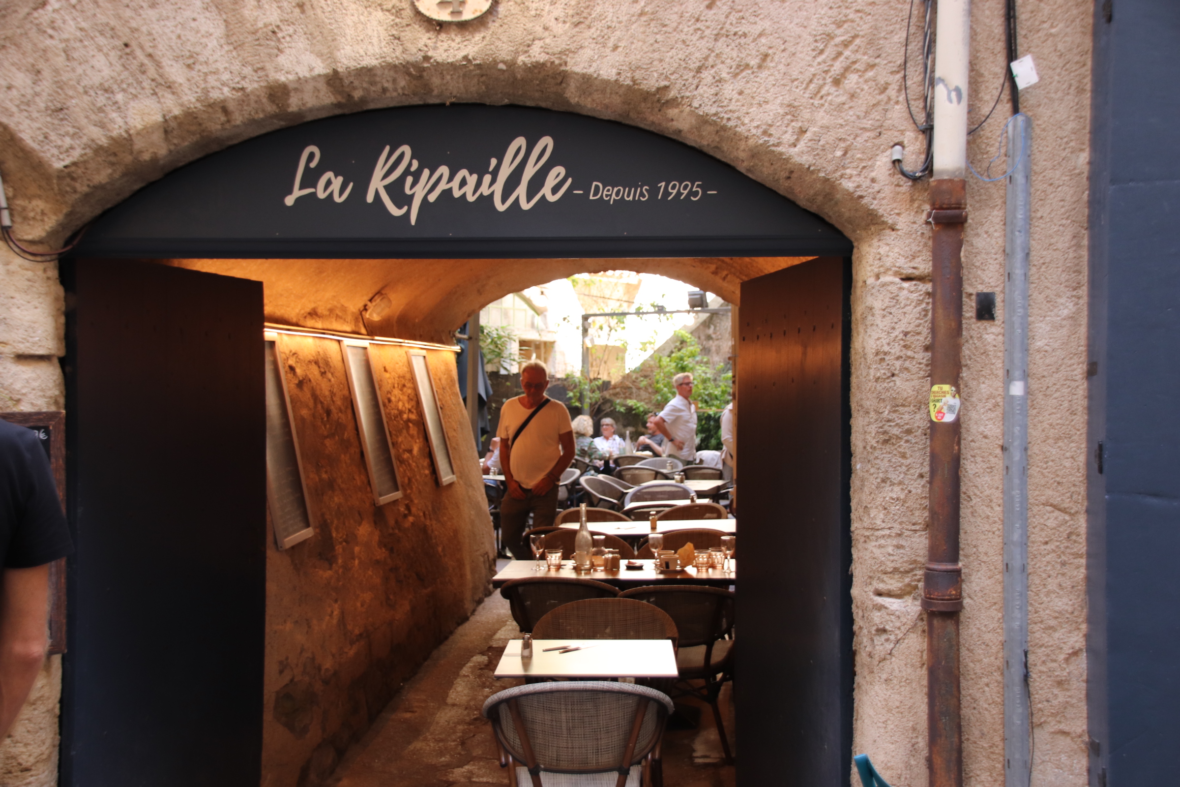
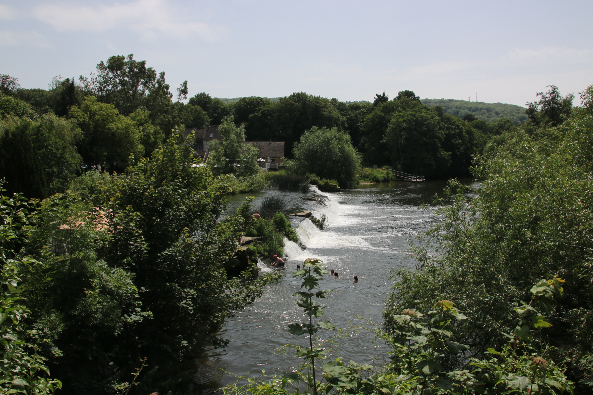
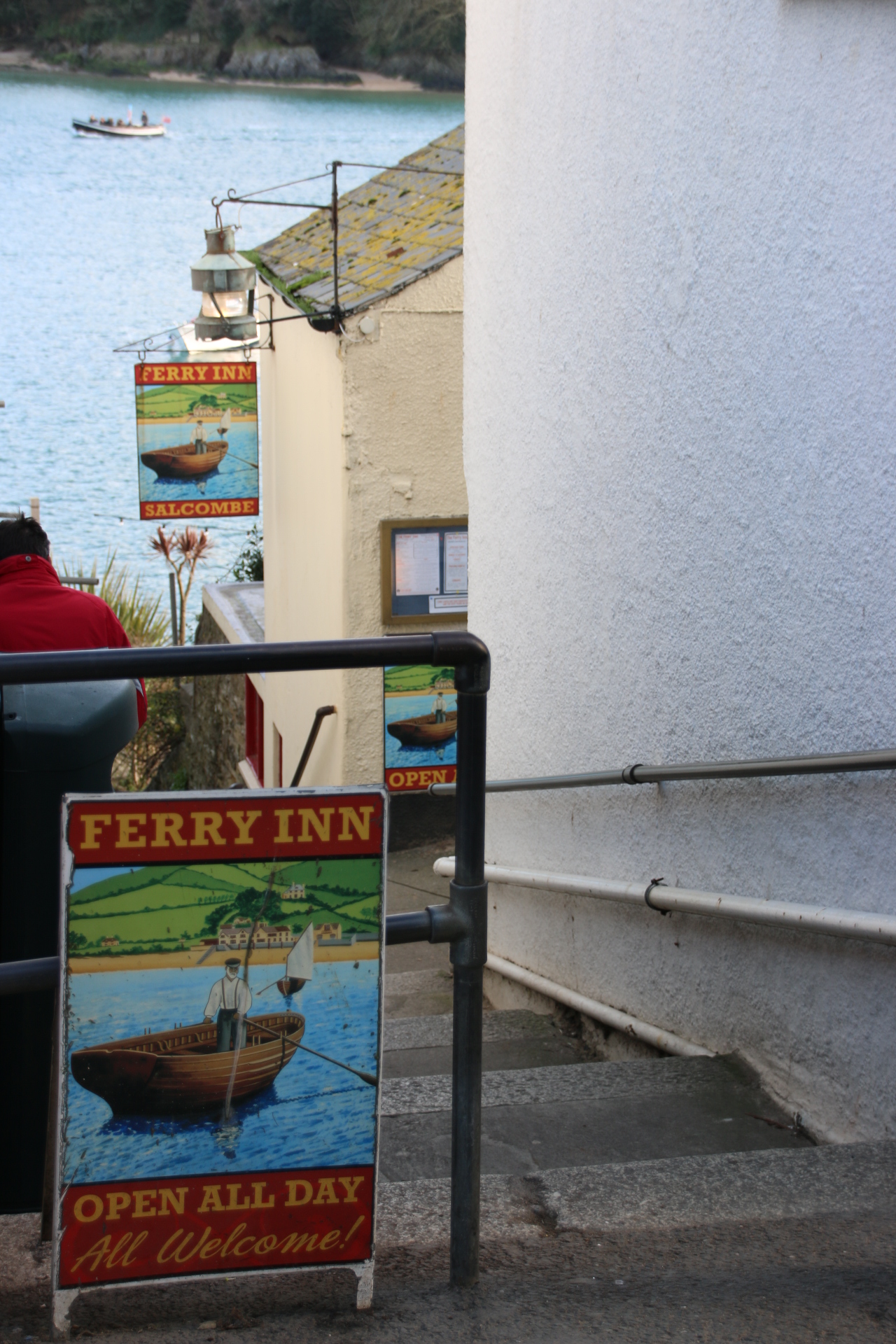
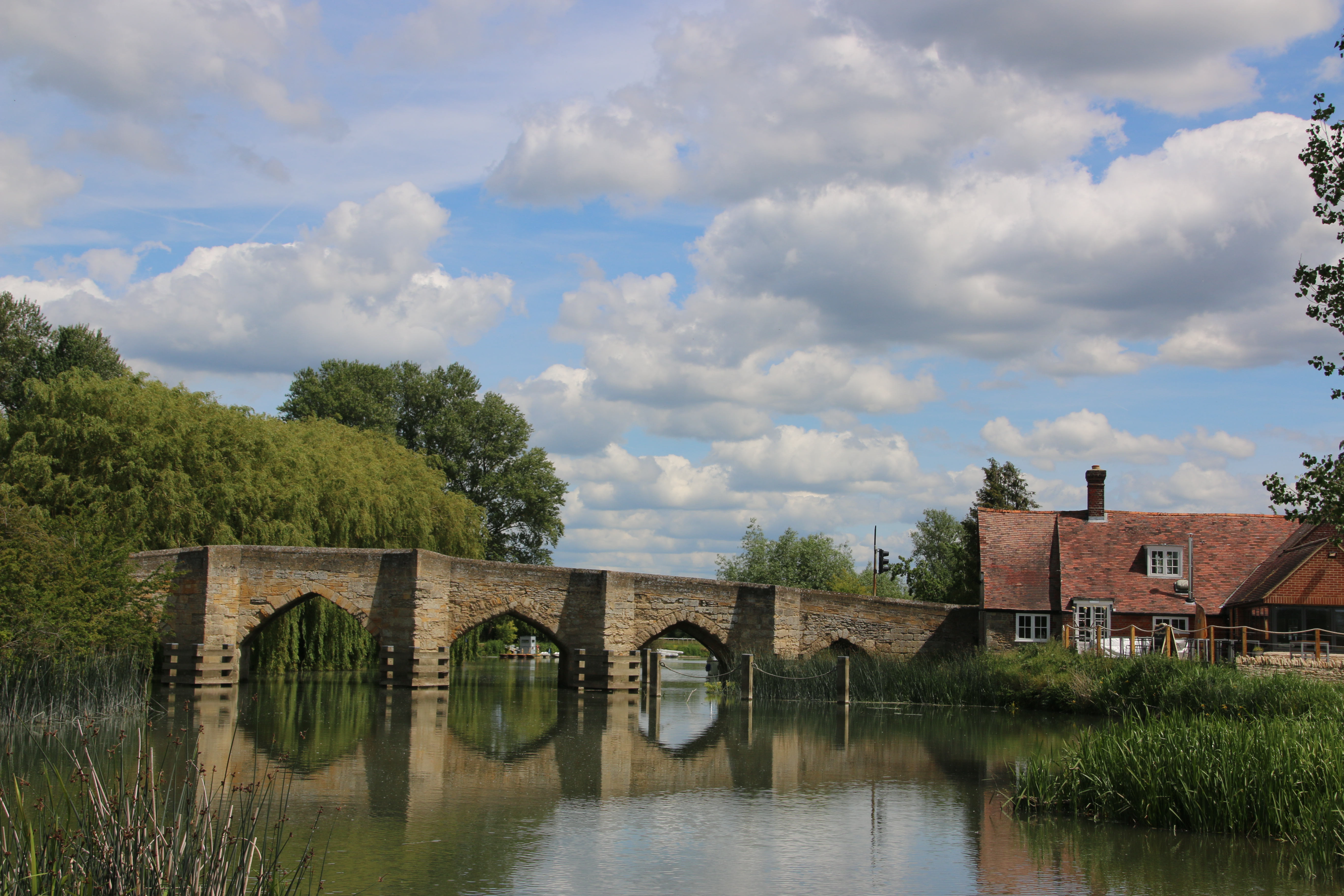
Herepian Is the neighbouring village to Villemagne l’Argentier and it’s the main centre for food, bars, petrol etc. The drive south west from Herepian takes you on smooth, gently winding roads straight into this wonderful calming landscape of layers of sharpened ridges & scraggy outcrops covered in bubbling mixed woodlands & forests of cherry & hornbeam & chestnut alongside pine & cypress. Streams & rivers have cut their course deep into the landscape creating rocked ravines & razored gorges. Evidence of human habitation is left to the occasional ruin amongst the trees or the occasional small settlement that clusters around a crossing point over a steep valley bottomed by water of some sort – a stream or something a bit more substantial. Usually this takes the form of an old, arched, stone bridge which contributes to the general air of medieval living in these closed, tight, squeezed collections of cobbled lanes & stoned buildings.
I must not forget to add into the mix the fields of vines that squeeze onto any flattish land beside the road and the rows of ancient olive trees. Especially at this time of year as leaves are lightening & beginning to start their autumn tan. It is the time to get the harvest in and the roads are full of small trailered tractors, tonka type mini trucks, that fit neatly down the rows of straight-edged grapes, clogging the route to the local cooperative’s vats & casks.
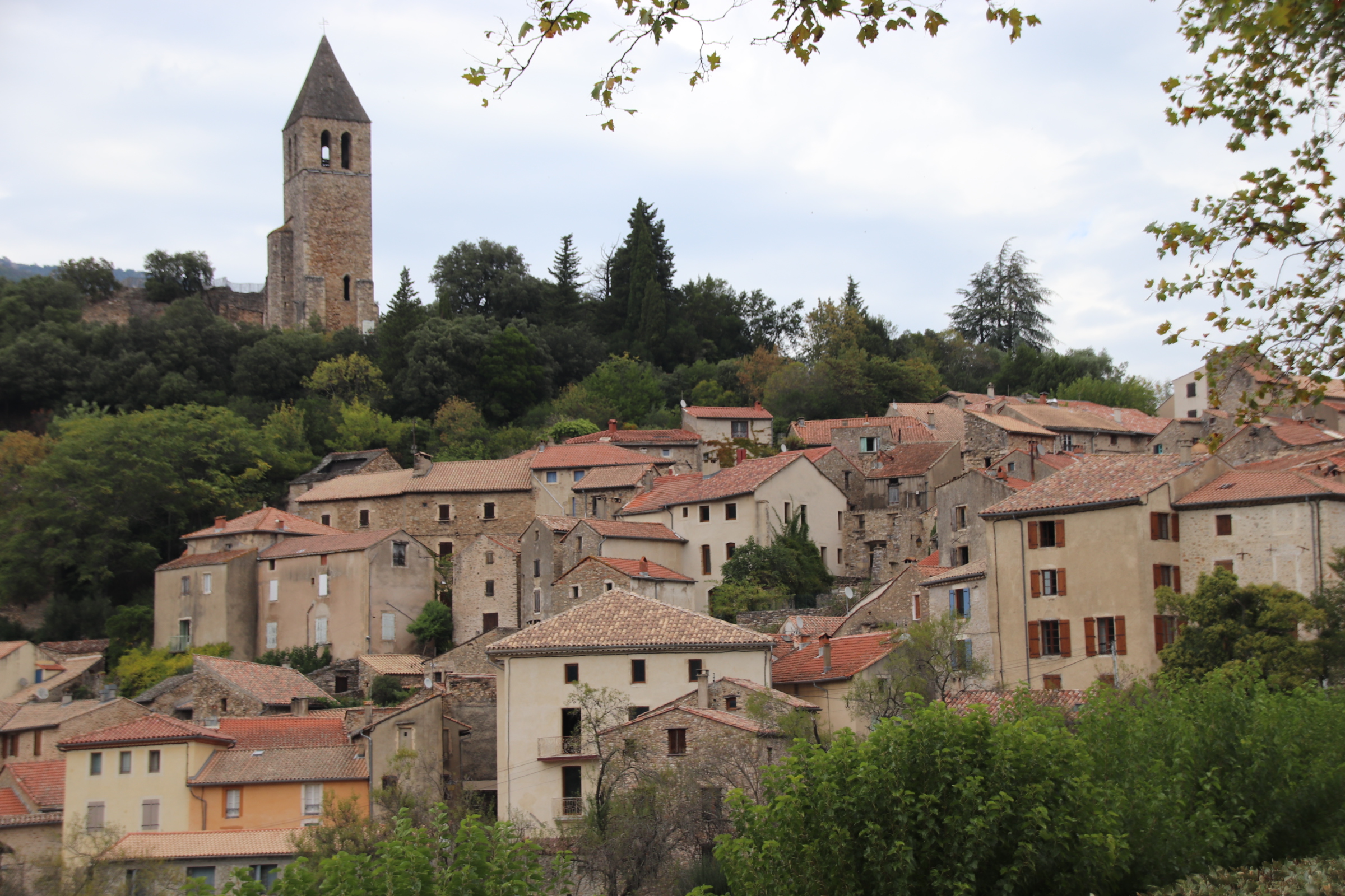
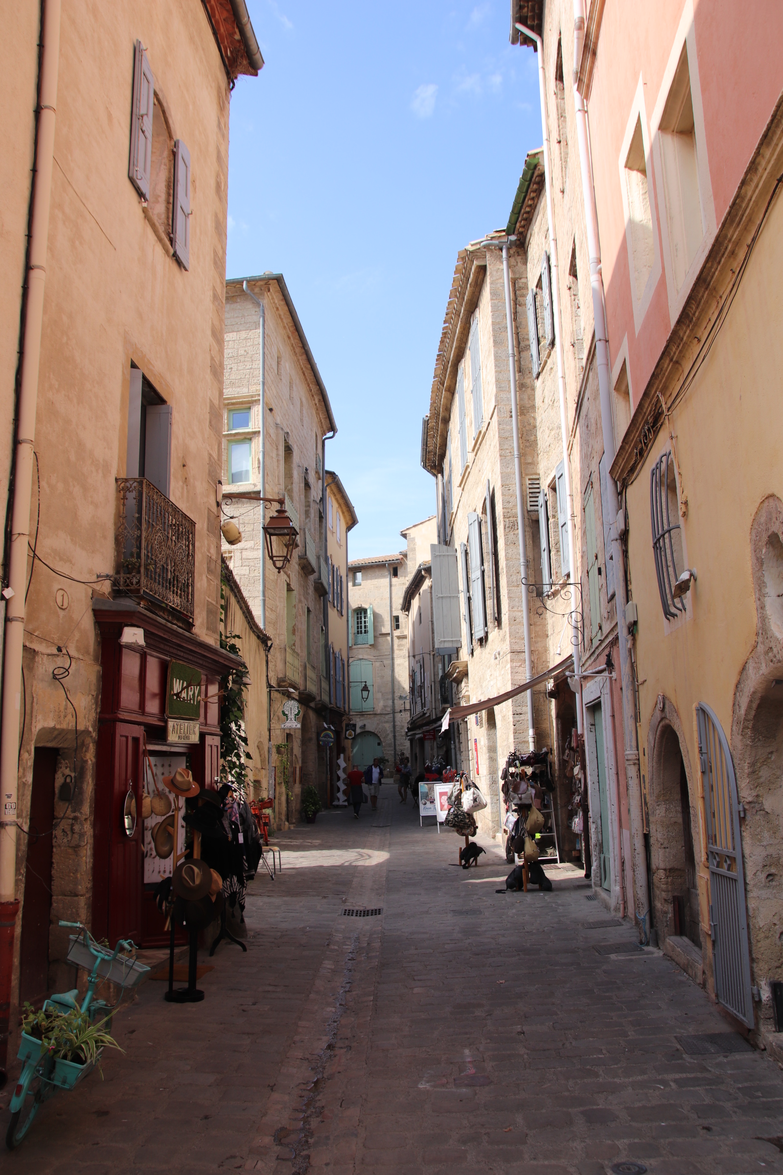
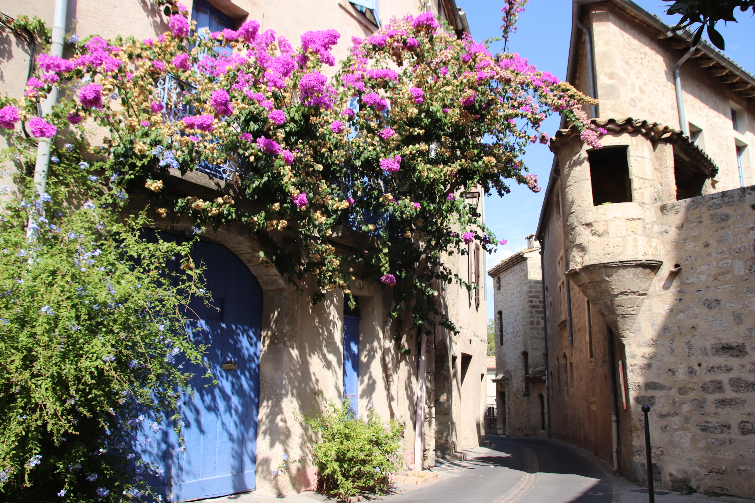
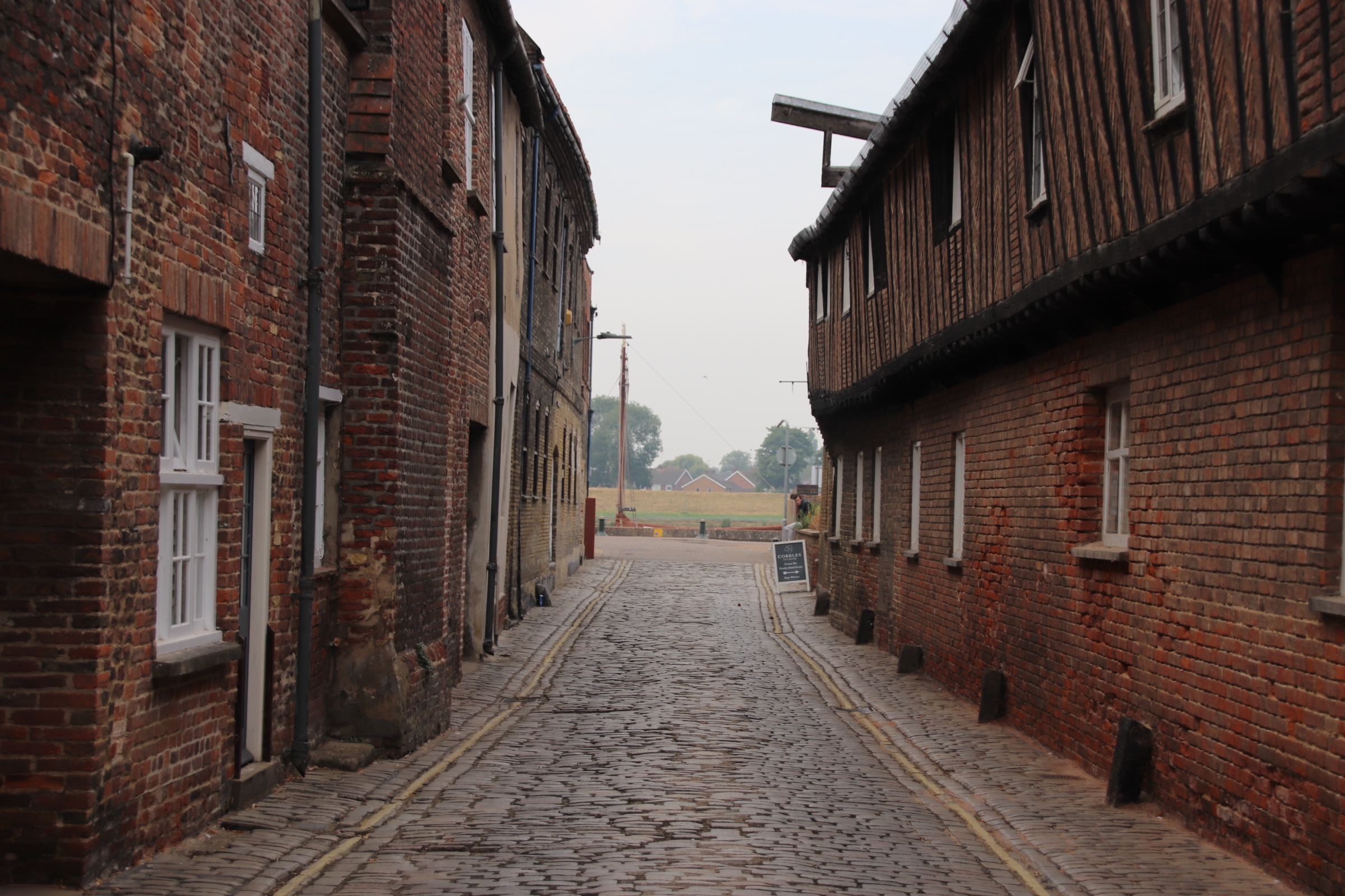
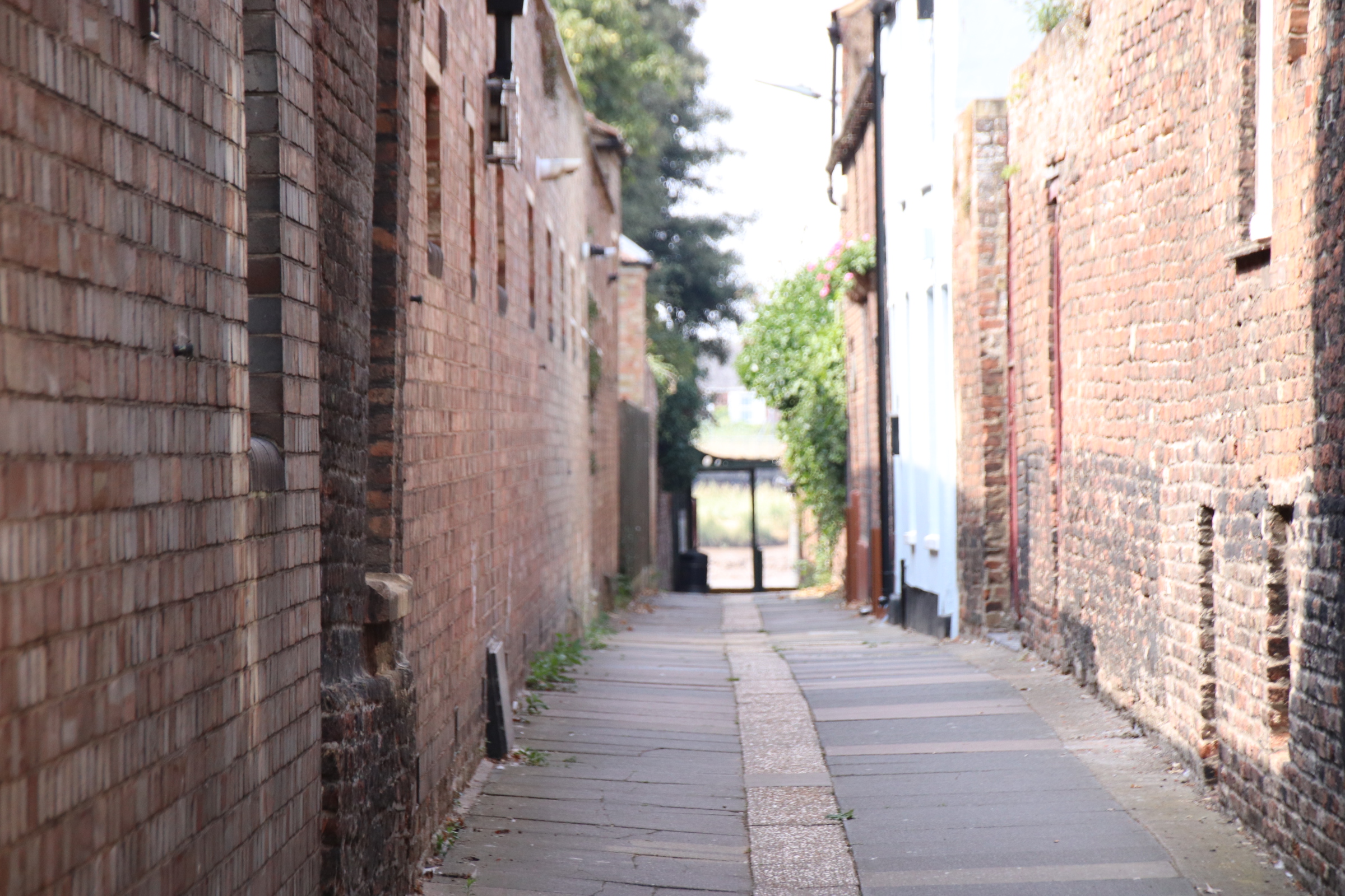
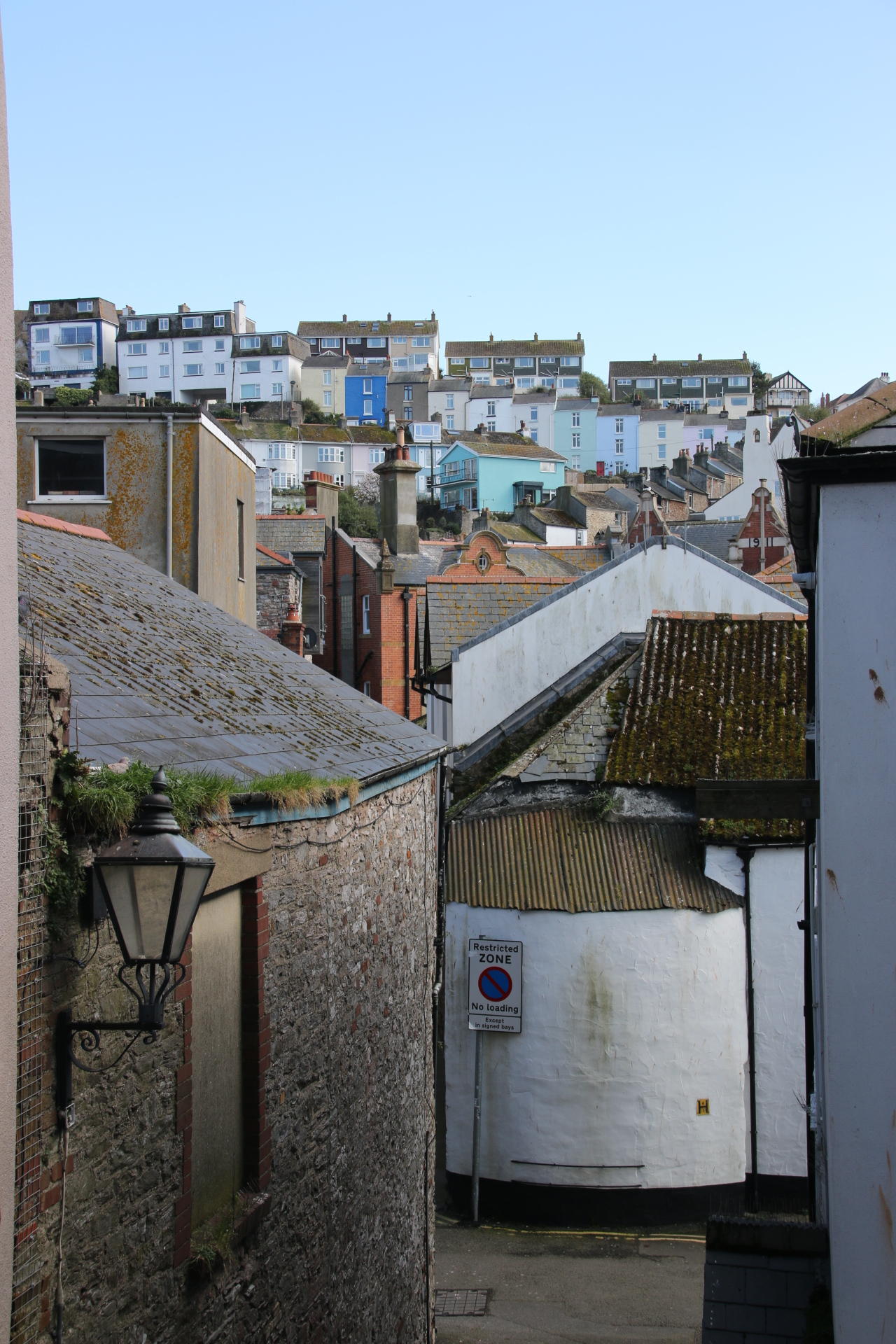
Many state that Olargues is one of the prettiest villages in France. I’m not sure about that. From a distance it certainly looks pretty. Yet, inside the walls, it’s narrow passages & lanes inhibit vehicular traffic and it’s ancient buildings ooze history and passing time and seem to have sucked the life out of the place.


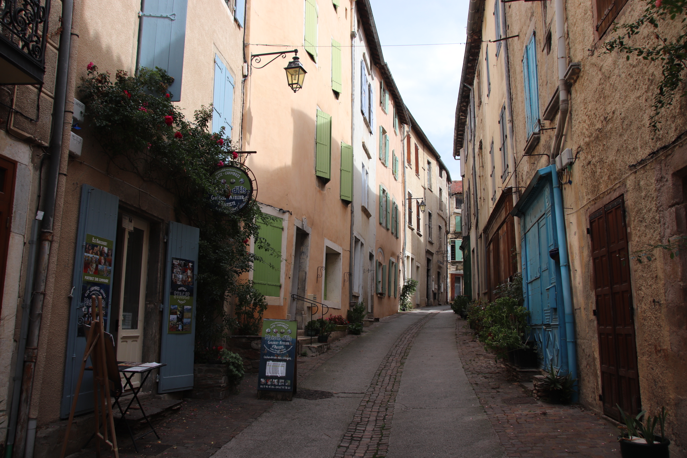
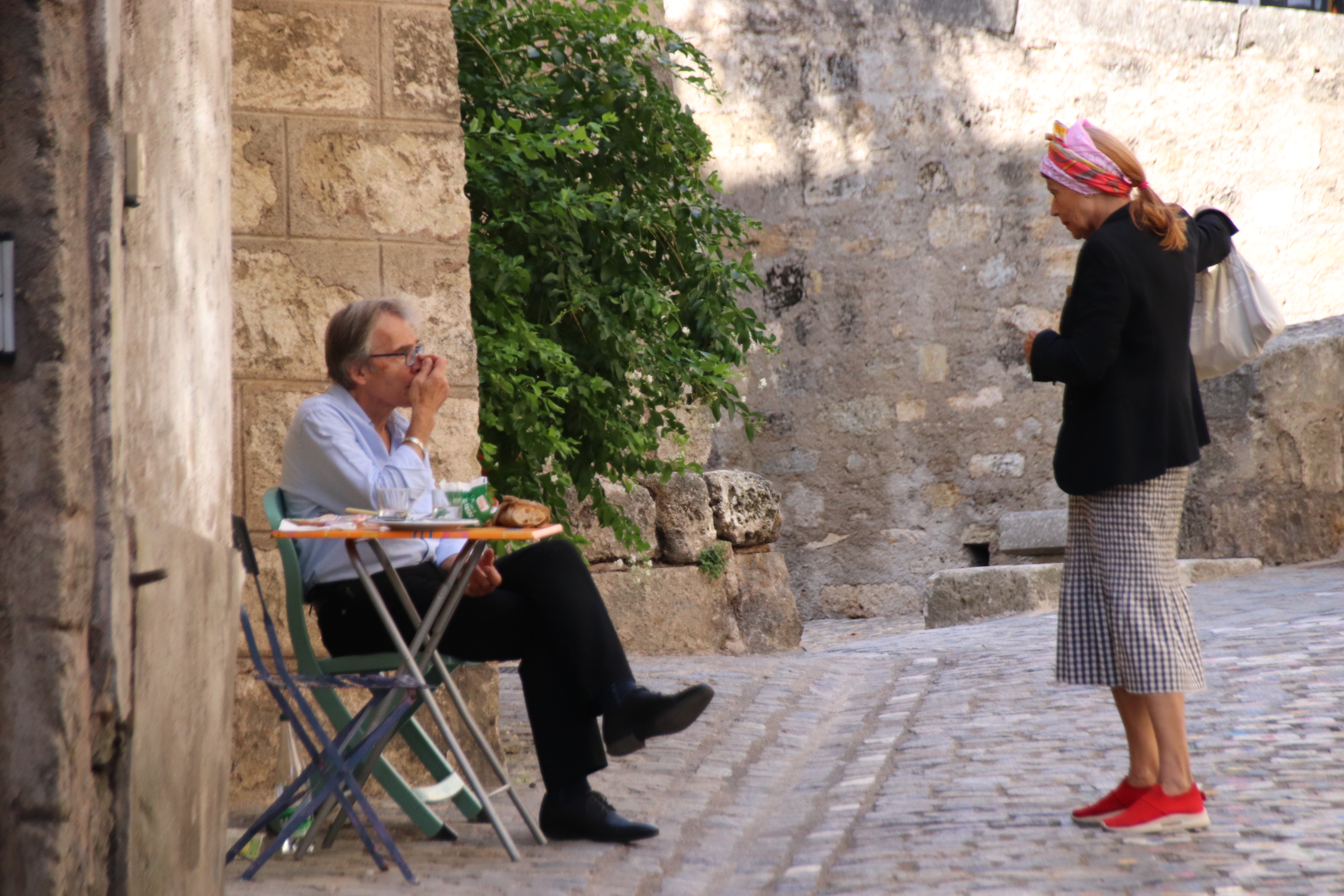
It feels a bit like a ghost town – there is little evidence of human habitation or even touristy visitors (at this time of year, anyway). Maybe it has more life when the sun shines!
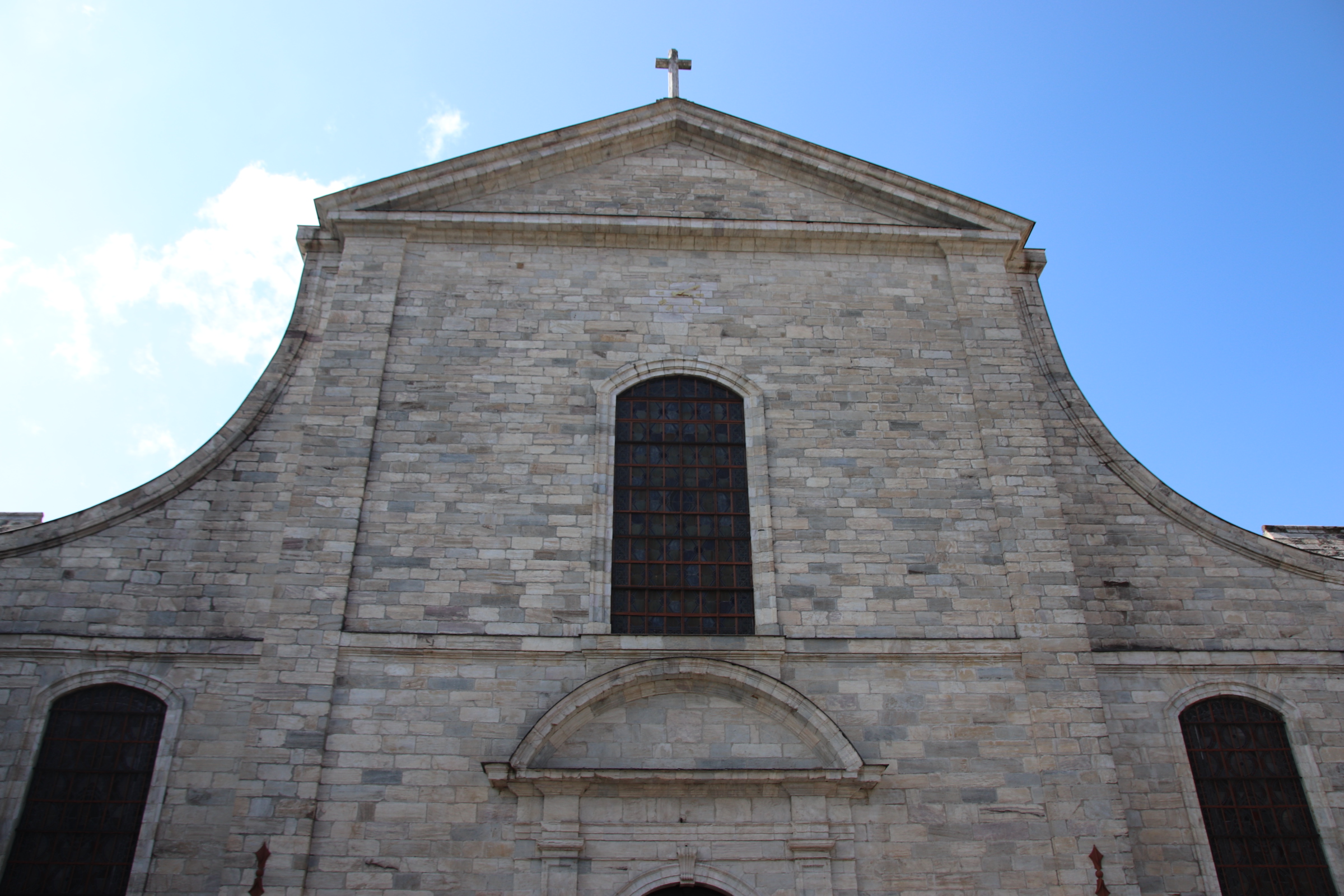
St-Pons-de-Thomieres is further down the road and another village on the route to Spain. The church, which gives the place its name, is huge and must have provided relief & strength to those on the journey.


Pezanas deserves a mention on its own.
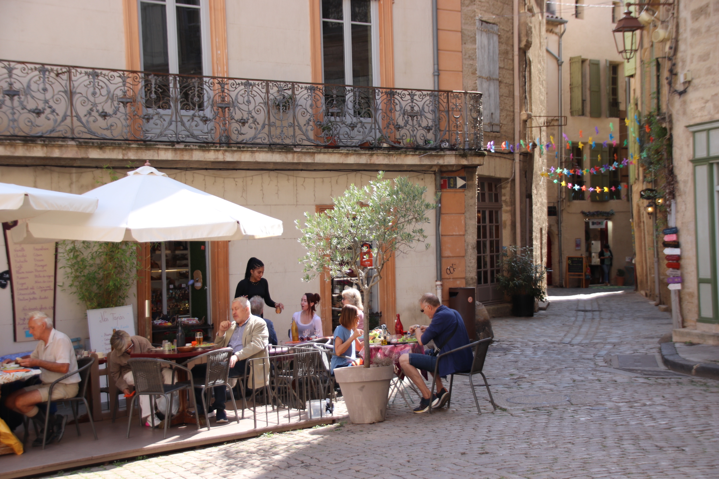

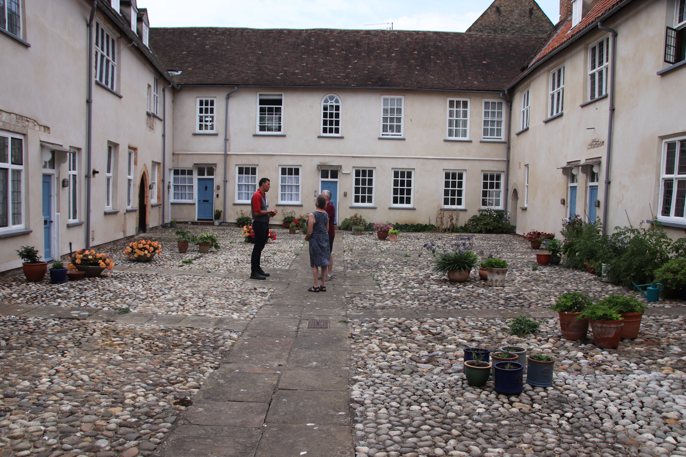
This picturesque town has a rich history & culture dating from Renaissance times. A fair has been held here since the Middle Ages. Wander its cobbled streets to discover private mansions and museums & galleries, all sprinkled with generous doses of artists & craftsmens’ street stalls and small independent shops selling good quality art, clothes & crafts.


You must be logged in to post a comment.