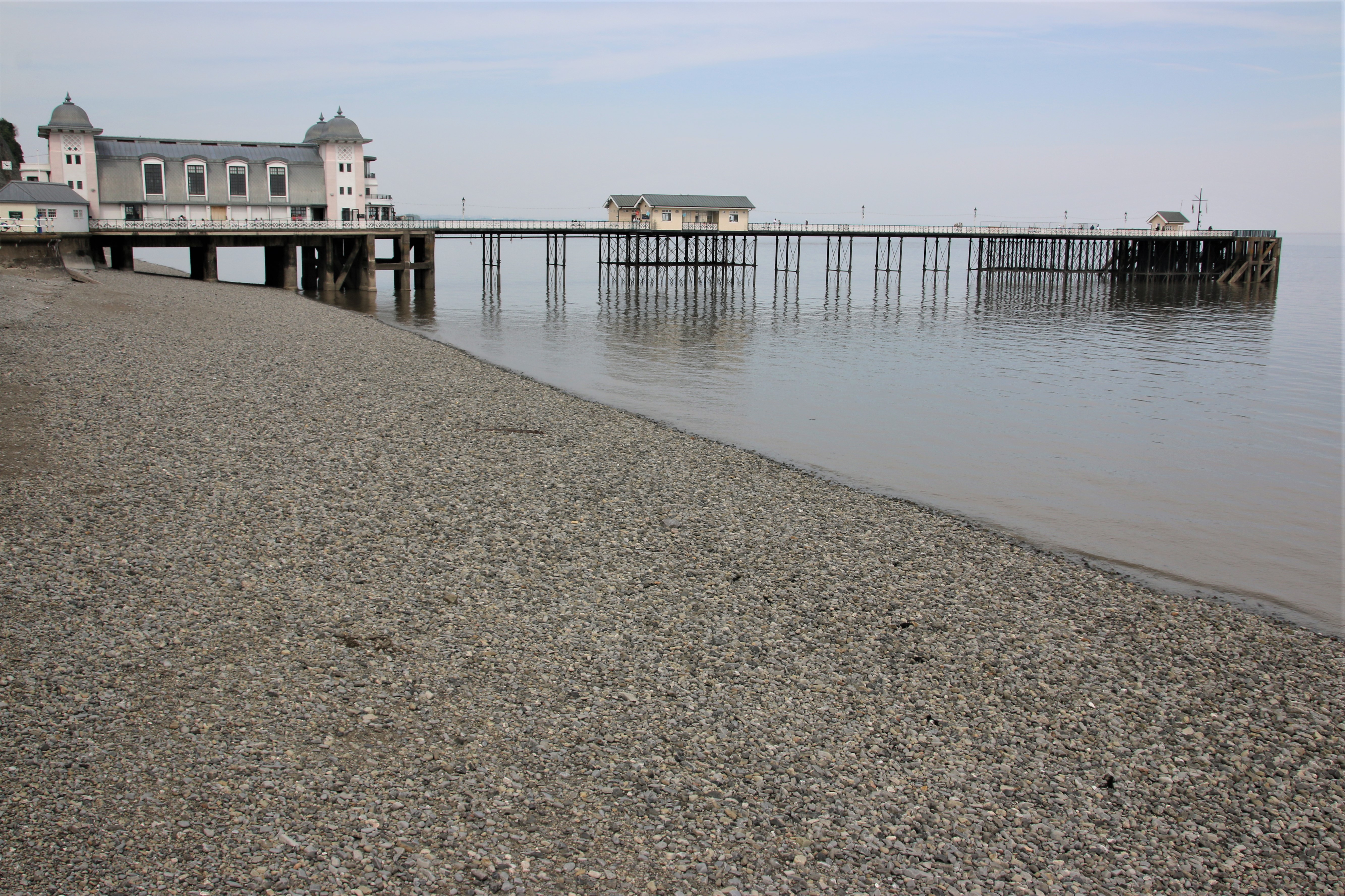
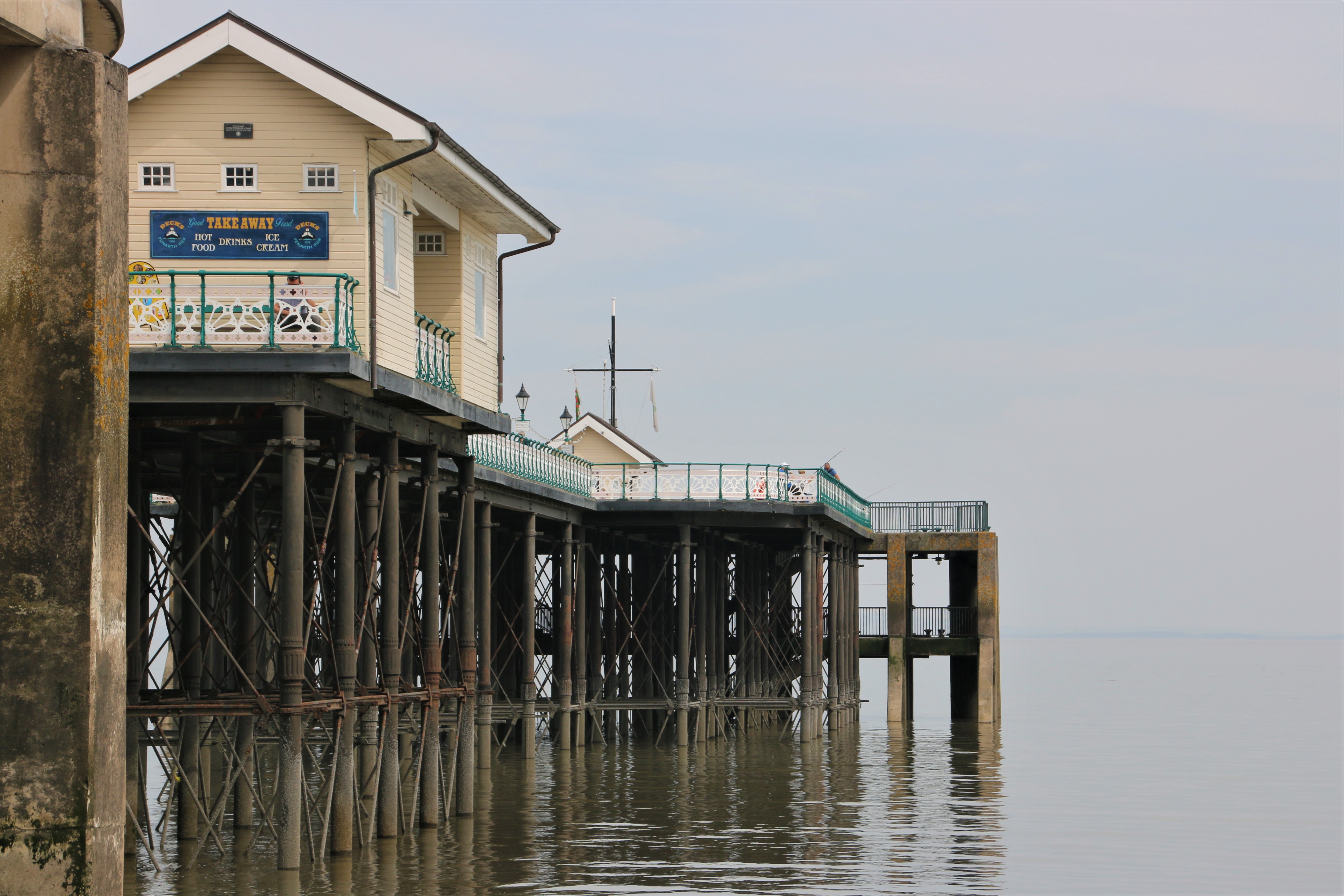
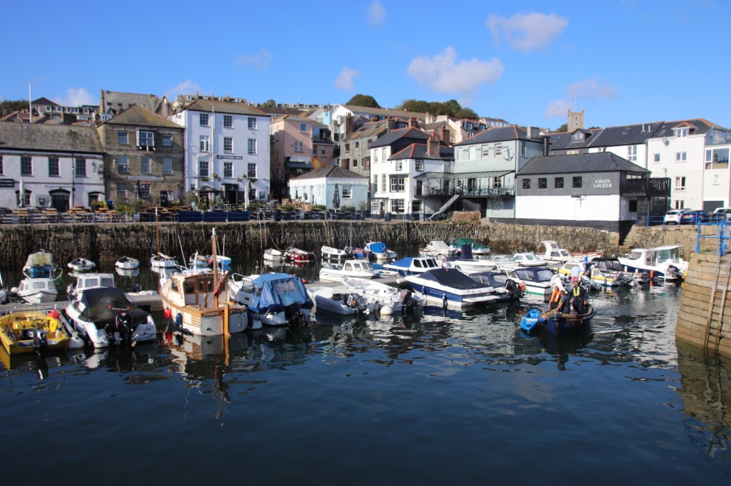
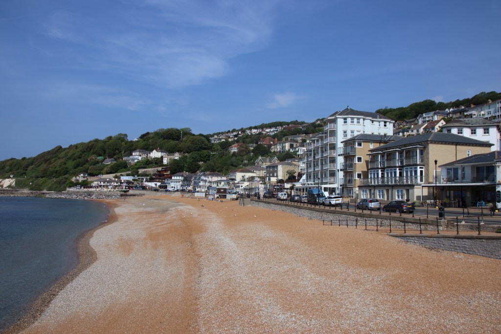
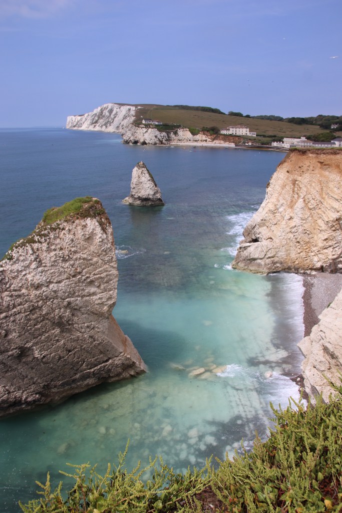
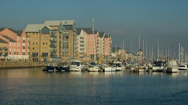
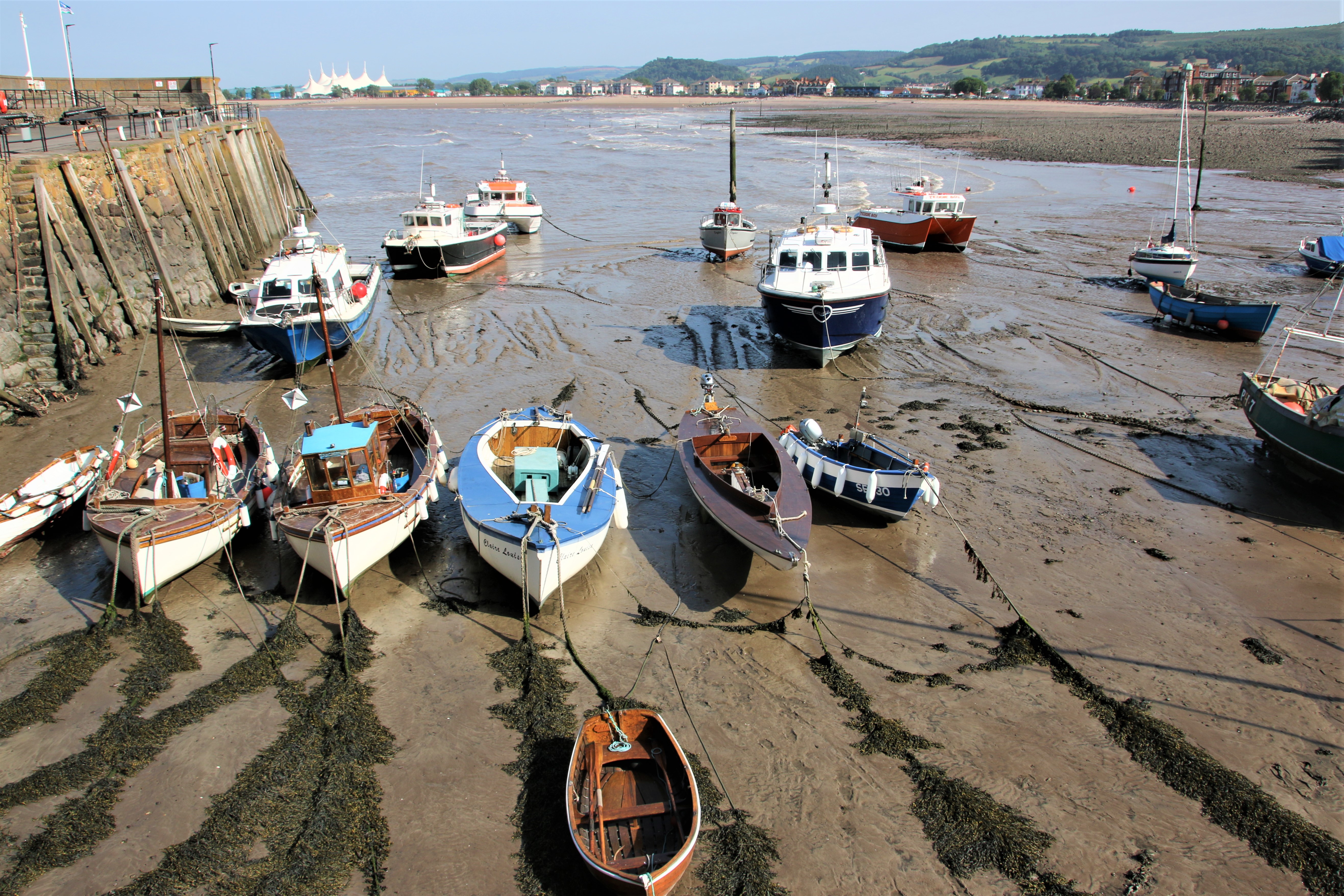
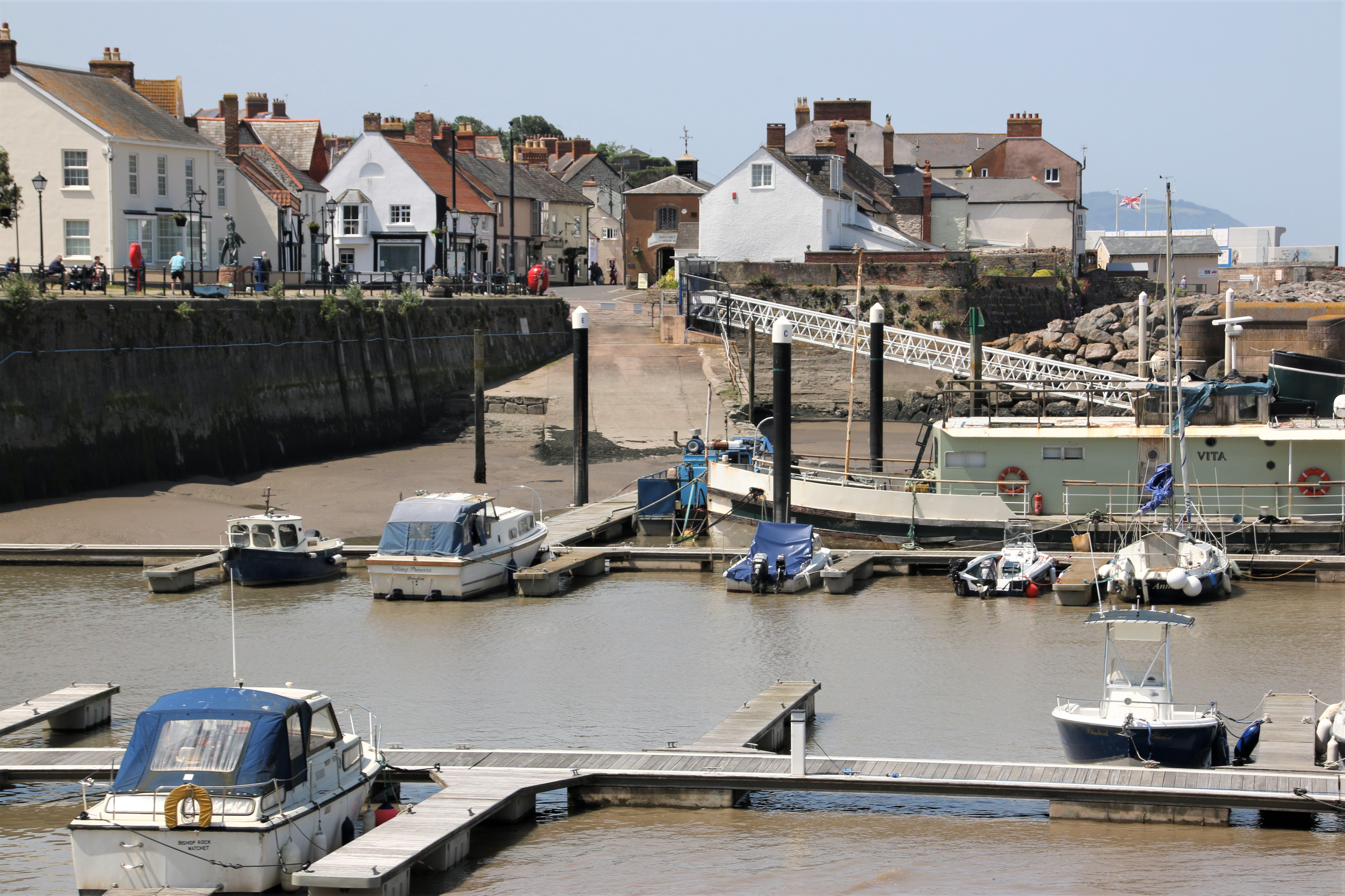
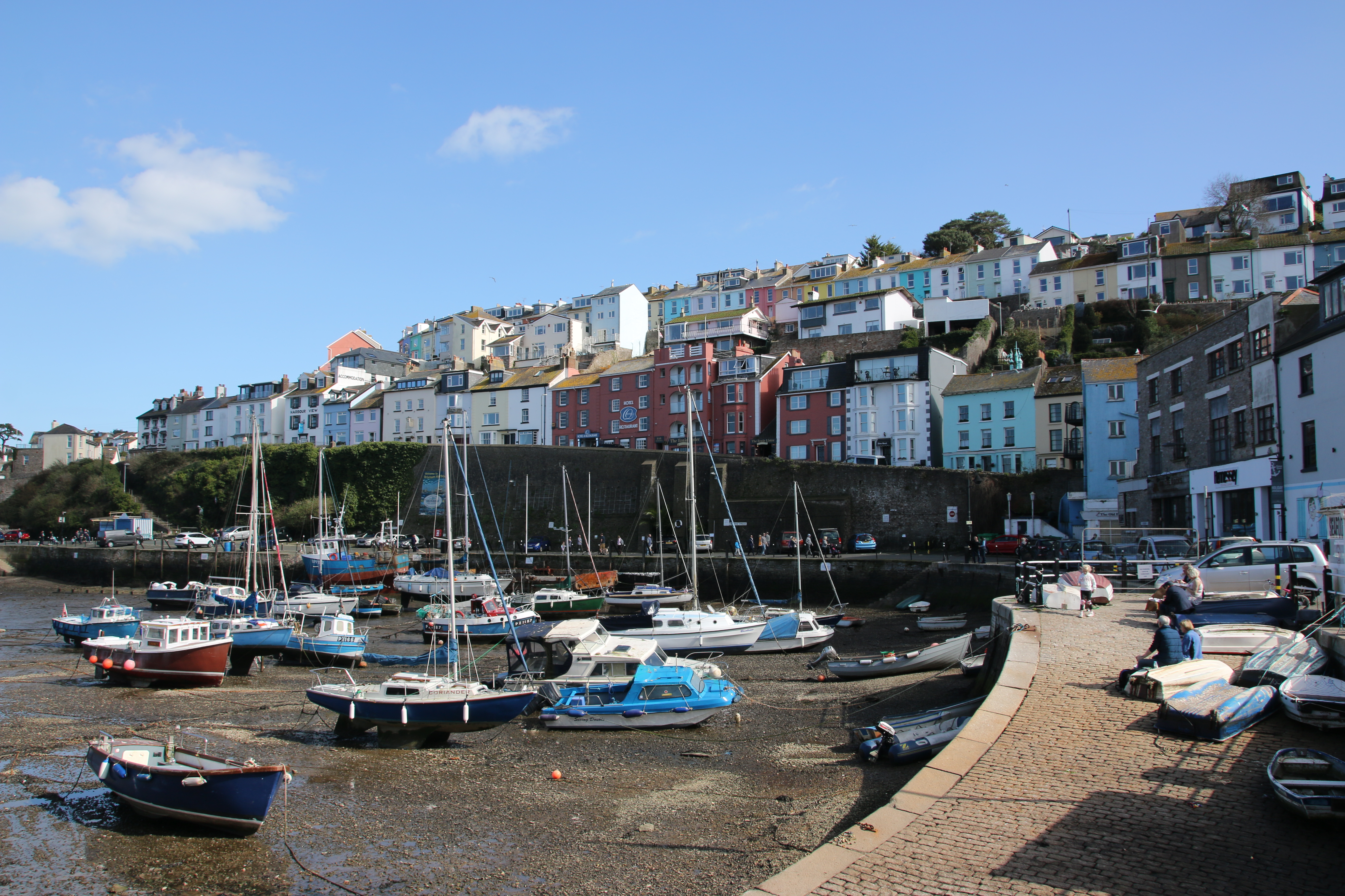
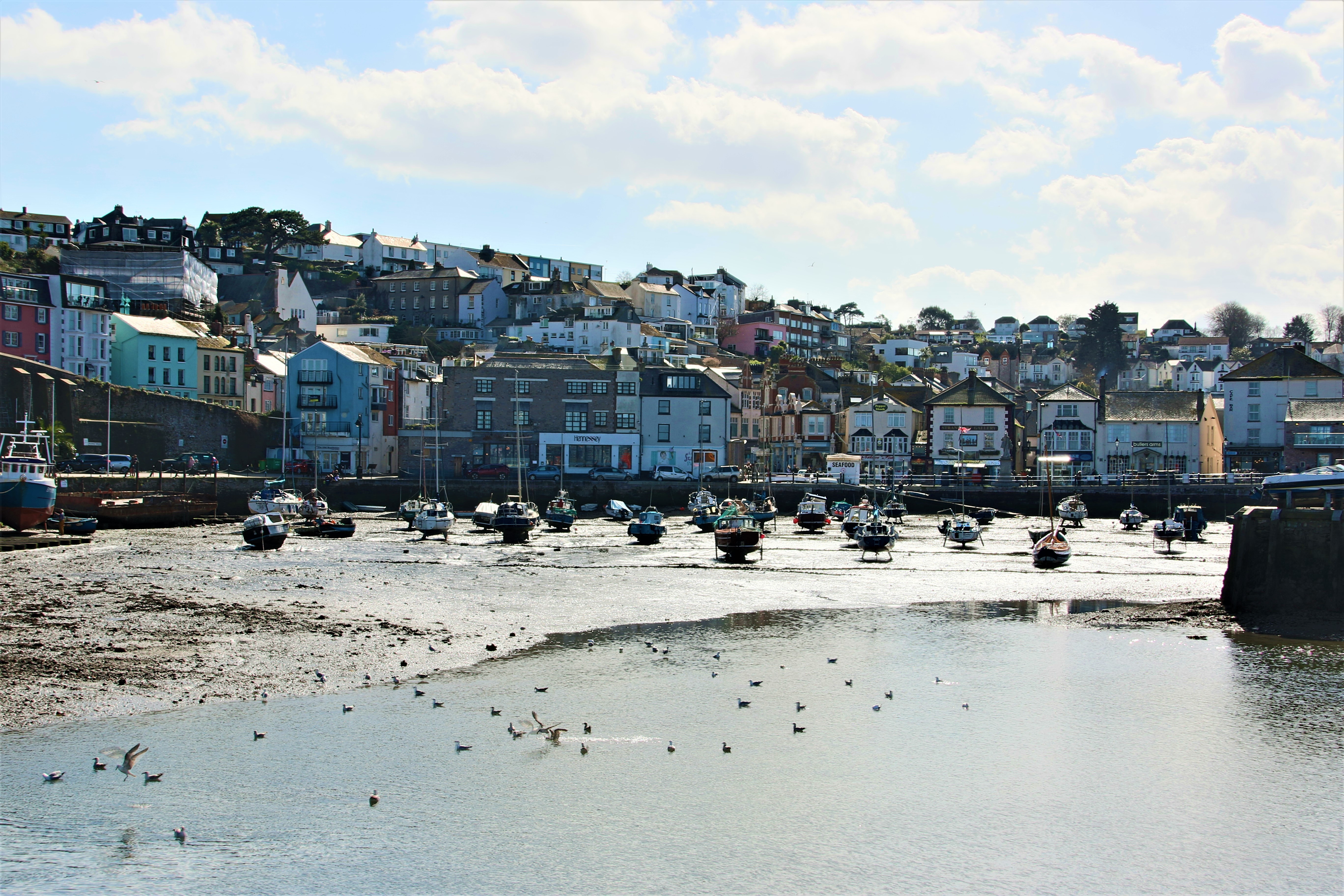
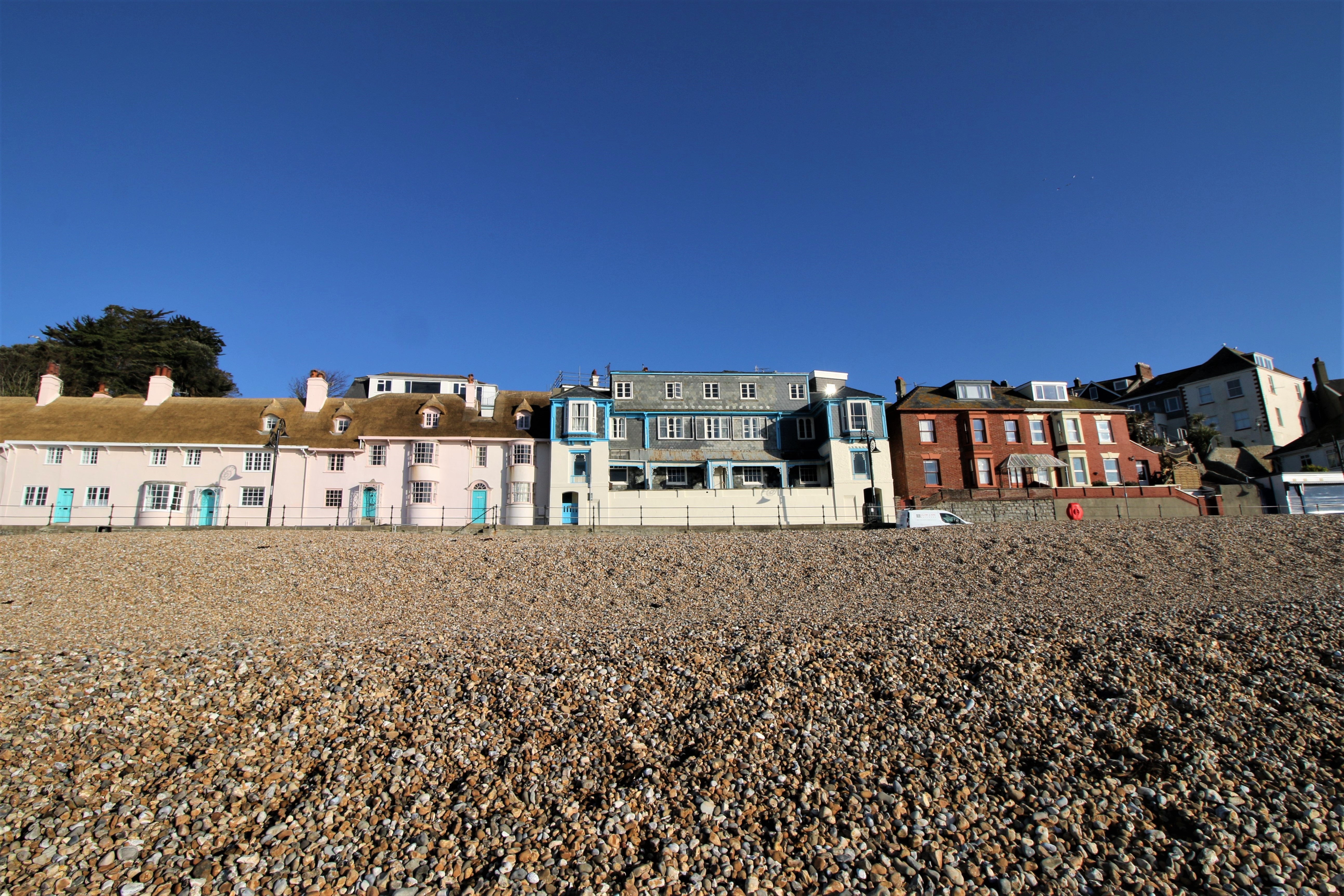
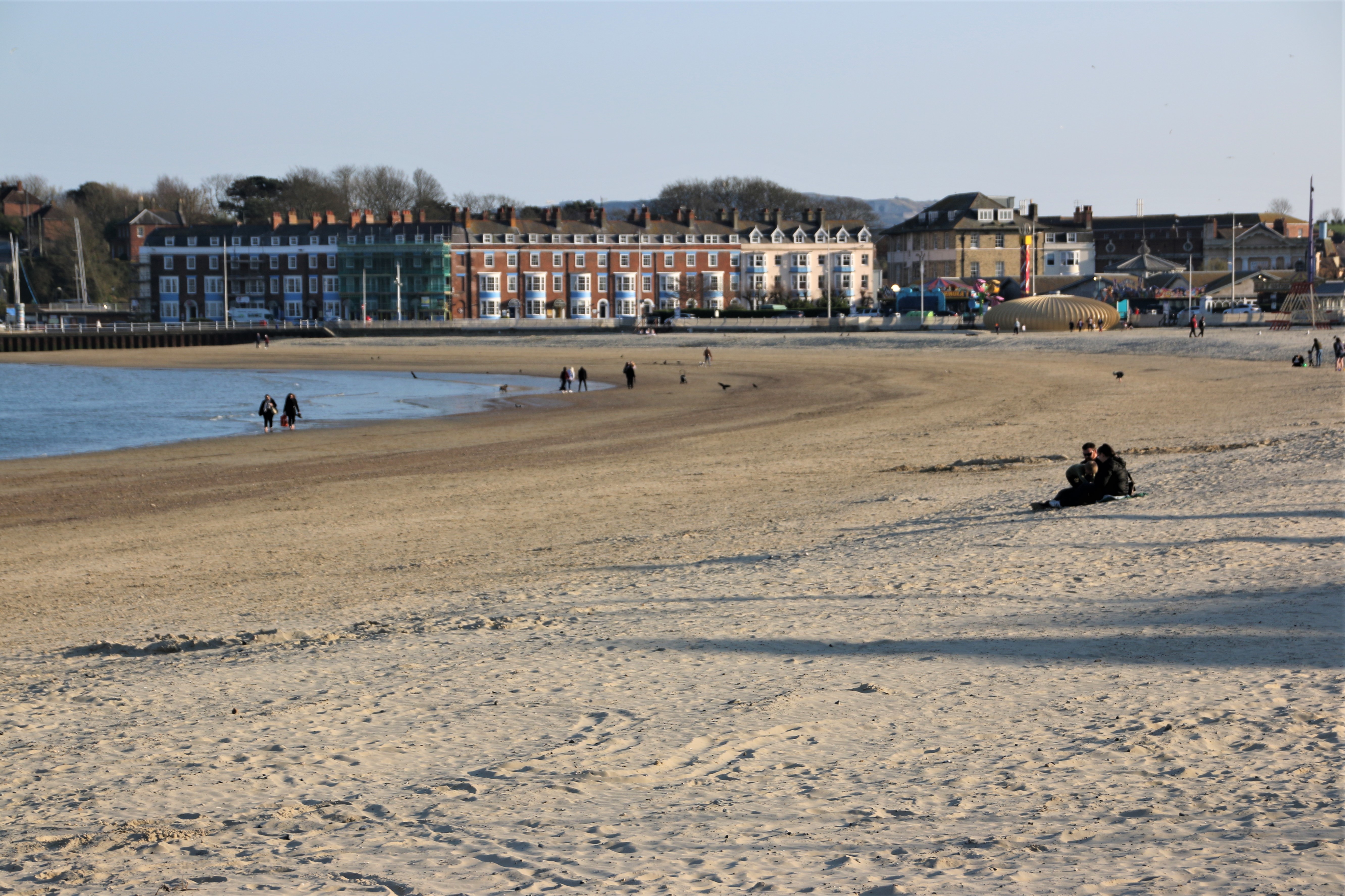
Beaches & Harbours by the Sea

Hi everyone.

Today, I took delivery of my latest book. So exciting. Fresh off the press and ready for Christmas.

You guessed it!

Towns & Villages by the Sea – a photographic journey around the coastline of England & Wales visiting 700+ beaches & harbours on the way

Easy to navigate – Berwick-upon-Tweed clockwise around to Skinburness

Ideal for planning trips out & holidays

Discover new places on the coast and read about their history

A GREAT CHRISTMAS PRESENT

A change in the weather

The day breaks with a huge dump of water for an hour, heralding the end of heat and the arrival of cool with grey, blustering skies dampening holiday plans and seaside activities. So it’s onto the Coastline to explore the Norfolk coast by bus.


Finding the bus station in King’s Lynn was an inauspicious start. Google Maps and tourist signs combined to complicate the journey’s start, extending the walk from 10 minutes to over half an hour, before a friendly local, lips & nose pierced with silver graffiti, takes us by hand and leads the way with her elderly charges.

The bus station appeared through the drizzle at the edge of the functional, 60s shopping precinct, with tunnels of cattle seats herding patient lines of greyed, coated ancients, along with the occasional splash of youthful dress & colourful hair, to a neon display for the number 36 to Wells-Next-the-Sea. The single decker arrives after a short wait and gorges on the slow-moving, hokey-cokey of waiting passengers. Off we go. Through the sad streets of downtown KL – Kings Lynn not Kuala Lumpa!

Grey skies, grey weather, grey companions silently stare at the grey landscape through grey windows streaked with chasing trails of snaking droplets and diagonals of shower streams of water. With surprise that anyone wants to leave the warm interior, the bus stops and its passengers push out through the door, out onto the harbour side where others have had the same idea. Car parks are full, the pavement is crowded. Through the gloom, family groups stagger against the drizzle and the powerful gusts of wind off the sea.

There seems to be a distinct lack of cafes. The condensationed windows of the occasional shop unit give a clue, confirmed by the queue waiting to enter. On the streets, punters balance trays of fish & chips or erupting cones of ice cream, sourced from doorways or windows.

The main fun activity for young and old, is squelching about in the silt and mud of the bank

or crabbing from the side of the harbour, the latter with guaranteed, successful results.

Intrepid groups set off up the inlet, the promise of the sands and the wonderful beach huts forcing them against the wind.

A UK Coastal Trip – St Ives

Moving around England’s tip, Cornwall’s north coast is a high drama of high, angry cliffs separated by gentle, crescent-shaped coves of soft sand. The complete range, & more, of the blue palette colours the hugeness of sky and the vastly distant ocean. Both are disrupted by the force of white weather. Clouds build and isolate as cotton wool is spread across the heavens by high winds. The ocean is blown up by the same winds into a ferocious bombardment, throwing itself upon beach, rocks or harbour wall in line upon line of snarling white beasts attempting to break down the land’s resistance.

The beach fleurons, bitten out of the cliffs are magnificent, particularly at low tide when their true dramatic beauty can be truely appreciated. Most are inaccessible on foot although some can be reached by scrambling down cliff paths. The more accessible ones have been taken over by fishing or farming or mining communities who use the ocean as their main livelihood or as an essential means of transporting goods, produce or materials.

Porthmeor Beach, St Ives

St Ives is such a vibrant town with its narrow alleys and lanes that all focus on the harbour.

The high tide lashes up against the encircling stone jetties. As it recedes, the town’s beaches merge outside the harbour walls. Holidaymakers enjoy the range of artesan shops, the pasties, the pubs & bars & restaurants or just wandering the streets at tourist pace. Where’s Wally? Nah, Meet Marky, in pic below!

A sign of the holidaymakers life today is the number of Status Dogs they bring with them. They yap & bark and tangle around legs & paws & feet. These posing, sniffing, prancing bundles of shag pile rug demand a great deal of attention and require lots of care & protection. Maybe St Ivez is a particularly hazardous place. I’ve seen them put in knitted wool tunics, in wheeled carts pulled behind bicycles, carried in the arms of owners, pushed along in buggies, placed in a material basket under the table in a restaurant, sitting on pub seats, peeking out of a coat pocket. A dog should be treated like a dog, not like a four legged, shaggy Tamagotchi.

Portreath

Porthtowan

Most of St Agnes is up on the cliff tops but if you maneuver you way down to the beach and the old, now sea-destroyed harbour, a dramatic cove awaits you. Sandwiched between sharp, steep cliffs with the nibbled coastline stretching away, the white breakers crash down on the rattling pebbles. A few sturdy souls brave the water …..with no wet suits! Up on the top, minute figures stand at the edge along the coastal path, gazing down at us from a great height.

Surfing and family fun at Perranporth.

Surfing at Fistral Beach, Newquay

A UK Coastal Trip – Mousehole

Carrying on down towards the west, the first village on the coast is Mullion Cove. Sea mist had descended and the harbour and beach were hidden in a grey wash. A single boat had been left high, the only object with clear, sharp features.

Portleven is an energetic little place although parking is not easy, especially when wedding guests seemed to hog most of the available places. The local gig crew were out on the water, small, designer huts were set up with wares for visiting tourists and a farmers’ market was in session.

The hugely impressive & privstely owned St Michael’s Mount is linked to Marazion by a stone causeway. At high tide this is completely covered by water and a boat ferries visitors across. At mid to low tide it is possible to walk over. The best images of both places are afforded from the middle point.

Penzance is a pretty ordinary place. The boat to the Sicilly Isles operates from the small working harbour.

The art deco Jubilee Pool fills up at high tide so folk can swim in the cold waters all day long, irrespective of where the tide is. High tide comes right up to the sea wall and so it is impossible to describe the beach here.

Newlyn harbour is a large working dock where fishing boats unload their catch, overlooked by old workers’ cottages and owners’ dwellings.

Mousehole is a lovely fishing village, full of character, with small, narrow streets that steepen down to the harbour as the main focal point. Today the ocean was knocking at the harbour walls, throwing its strength against the stone and sending huge plumes of angry spray up & over to cover the cars parked on the jetty behind. And, yes, Hugh, we found the cafe!

The beach at Porthcurno is truely dramatic. Sliding down a steep, rope-railinged, pitted path its magnificence is revealed at the bottom. Glorious, soft sands are pinched by grey slabs of huge sharks’ teeth rocks on one side and the rising heights of towering, blue/black/grey cliffs topped by the silhouetted fences of Minack open-air Theatre on the other. In between the roar of surf crashes out all noise and a lone surfer-dude challenges the power of the ocean in front of a handful of spectators sitting along the beach.

I’ll leave you with the end of a passing shower at Sennen Cove. It just goes to show there is a pot of gold at the end of this rainbow.

I’m not going to spend time on Landsend. Just to say it is categorised as a theme park and costs £7 to park!!!!!

A UK Coastal Trip – Falmouth

Several ferries across the estuary of the River Fal, keep the historic village of St Mawes and the historic town of Falmouth connected. The King Harry chain link car ferry rattles across just up from the mouth, whilst the St Mawes passenger ferry runs between the two harbours, aided by several water taxis. Henry VIII built a fort on each bank to protect the south coast from the French.

Falmouth itself has two distinct parts. The historic old town reflects Georgian wealth and Victorian charm. Looking up at the upper stories of the high streets is a clear indication how affluent this place was in the past. The buildings are dual aspect. Business is done from the front facing the street whilst goods are bought in by boat at the rear facing the water. On Customs House Quay the imposing offices of officials, the harbourmaster and merchants overlook their demain.

The pier has a certain Victorian charm & elegance to it amongst the yachts and trawlers and even warships. Like a bus ferminal, several ferries and boat trips collect and drop of their passengers from its iron superstructure.

West out of Falmouth runs the resort part of the town where a cliff road, lined with elegant homes and apartment bocks, runs above soft-sanded beach, although you only see it properly at low tide, when sharp rocks appear to cut off access to the sea.

Swanpool anf Maenporth are two more sandy beaches that are easily accessible to families.

Porthallow has a grey, coarse beach semi-circled by homes and fishing paraphernalia.

Porthoustock has a similar coarse beach. It is a working village with part of the cliff knocked through to provide access to a quarry. A digger loads stone onto a large vessel.

Coverack is a large, friendly village spread along the cliffs that line the bay. The car park is at one end and it is a gentle walk down and up the road with comfortable dwellings and gardens on the land side, with view over the beach on the other. Sharks teeth rocks run out from the sea wall with soft sand only exposed at low tide.

Some fishing still goes on, alongside water activities for visitors.

The small cafe at the top is open through the summer and serves the most amazing pizzas and toasted sandwiches. It is a friendly place. Sitting at a table in the sun with two local ladies, they tell the story of the Night of the Giant Hailstones when stones the size of fists were thrown at the village, destroying sheds & conservatories and causing outbuildings, cars and the road to slide into the sea. A friendly place with a strong sense of community.

A UK Coastal Trip – St Mawes

Now, Cornwall is renowned for its narrow lanes and high sided hedges. On this trip I discovered what this means in reality. On a map these villages are linked by white lines & B roads that criss cross the area between larger towns in a random, haphazard pattern that is the product of land & mine ownership rather than any logical arrangement of farmers’ fields.

Portmellon

The roads fall into two distinct categories. The B roads may have faded white lines in the middle at certain places and tend to have enough room for vehicles to pass – in places. Tourists, lorries, buses mostly use these roads. Most of the roads (huh) fall into the next category. They are syphon shaped in that at the junction they seem wide and open enough for two vehicles to pass comfortably but within a few metres the sides, now 3 metre high hedges, have squeezed in to within centimetre or two of your mirrors. The hedges are weapons of this hellish game of Mario carts. Not only do they breathe down on you from a great height, they also hide large rocks behind their cover of pretty, green vegetation. It looks like you can squeeze in to the foliage to make some room but if you do this there is a squeaking sound of metal bending. Miles are done on these lanes, accompagnied by prayers that nothing will come up the other way and making mental notes of each potential passing place.

Gorran Haven

When (not if) it does, there is then the Drivers Standoff. Two cars face off, engines tick over, drivers stare & snarl through gritted teeth calculating where the passing place behind is, waiting for the first to break. One breaks. That one practices, again, their wing mirror reversing technique, which, I have to say, I got pretty good at, particularly when I came head to head with the local bus who in no way was going to reverse and gently kept me company as I made room in a gateway 100 metres behind. The other driver breathes a sigh of relief and follows the sharply zigzagging vehicle in front, whistling happily. It’ll be their turn next.

East Portholland

West Portholland

Fingers tighten on the wheel and conversation becomes tense as the journey progress. A few miles takes 30 minutes of slow 2nd gear driving and the Passing Dance occurs at least a couple of times on the way, wether you’re the passer or the passee. The relief of reaching your destination is enormous. Aaaarhhhh. Take the photo and repeat.

The villages are very similar. Usually at the bottom of a wooded hill where a brook meets the sea. A cluster of converted fishermen’s cottages clutter around a small beach that is totally covered at high tide, revealing stone, pebbles and sand, in places, as the tide goes out. There’s usually a chapel to look after the souls of lost and past fisherfolk. Many have also been converted. Modern, more expensive homes hover around the edges of the cove in prime positions, with huge open windows bringing the view indoors while keeping the owners, not sure if these are first or second ones, away from the elements, the history, the visitors.

Portloe

Portscaro

St Mawes

A UK Coastal Trip – Mevagissy

From Polperro it is a short drive to the Boddinick Ferry, of the chain link variety, which crosses the River Fowey to the historic town of the same name. On the north bank Polruan faces Fowey.

On the south bank Fowey faces Polruan.

Linking the two are numerous water taxis, the Polruan Ferry for passengers and the car ferry further up the river. Fowey is built in narrow climbing streets that create a winding maze lined with what feels like 100s of bakeries selling thousands of pasties or an equal number of parlours selling Cornish icecreams, craft retailers & the necessary seafaring gear for city dwellers. Needless to say that every seat or step, houses the bottom of a visitor with their mouth around a pasty or their tongue licking out, lizard style, at a creamy ice.

Polkerris is a small village down a narrow lane with a pub on the beach.

Par Sands beach is a wide dune-backed beach with soft sands and a large free carpark. In the far distance, what look like farm buildings crowd around an an old wharf but other that an ugly sight it does not impinge on family fun amongst the dunes.

Charlestown, a few miles further along the coast, is the harbour setting for all those tv episodes of sexy Aiden Turner playing Poldark. A private harbour, it has been turned into an historic setting, cobbled and stoned, with wharves & jetties. It certainly has the feel of past seafaring adventures even if the cafe umbrellas, pub tables & icecream stalls take some of the gloss away. A good place to visit to get a feel of Drake and sailing the Spanish Main.

And then Mevagissy. Two harbours, enveloped by clawing walls, ooze history around their wharves and merchants’ houses. Yes, it gets its shares of visitors. But by the evening they have left, the fish & chip shops emptied, the pubs have quietened down and a calmness falls over the moorings and the cobbled streets.

A UK Coastal Trip – Polperro

Torpoint’s chain link car ferry across the Tamar marks my leaving of Plymouth and heralds my arrival in Cornwall.

Come with me as I travel along Cornwall’s south coast to Landsend and back up its northern face to Padstow. The first day provides the full Cornish fayre of beach settlements.

The first two are raw Cornwall where high tide swallows any beach and low tide reveals angles of cheese-grater rocks mixed with sea-smoothed slabs of rocks, stones and pebbles.The only road into Portwrinkle runs below whitewashed bungalows and comfortable homes. At the end of the road a gnarled, circular stone wall, created from rocks & stones from the beach, provides a refuge to a couple of lonely, open boats that are just waiting for the tide to lift them up to higher spirits. In both directions sharp files of rocks await any careless sailor or fisherman.

There is little to welcome tthe seaside-seeking family here. Only those whose idea of fun is a battering from the elements. The same us true of Downderry.

At low tide the fullness of emerald slime-covered rocks, squelches of brown seaweed and snags of multi-sized pebbles & stones is fully revealed. The saving grace is a thriving & friendly local community which offers everyone, visitors & locals alike, sausage, bacon & egg rolls and a cuppa for £3 from the village hall.

Then there is Looe. A magical name but I missed out on any magic in its narrow streets. I’m not sure what it was: maybe the crowds of visitors with their packs of unnecessary designer-dogs, maybe the car parks that seem to dominate the drag alongside the slimey estuary, maybe the lack of a quaint harbour or a old centre, maybe the newish developments along the river banks. Maybe it was just the weather.

And then Polperro saved the day. A walk from the out-of-village car park, down narrow, squeezing lanes leads down to the harbour where history oozes out of every crack. I’ll leave you with fudge-box perfect images of a real Cornish coastal experience.

A UK Coastal Trip – Plymouth

I am off on the last leg of my coastal trip around England and Wales. My aim is to use two centres to visit all the coastal settlements of any size in Cornwall, which, you may be surprised to discover, I have never really explore before. But first I have to continue from where I finished in South Devon last time.

Travelling down on the A303, a magnificent road scenically, brought back happy memories of youthful nautical adventures and years of cricket tours to Dorset. Breaking the journey at Buckfast Abbey Hotel seemed a good idea with the peace of the lavendar garden contrasting with the roar of traffic. Maybe be slightly too much, especially when dinner was taken in a rather basic monks’ refectory with me almost the youngest amongst the other grey-haired guests.

I hit the coast at Hope Cove – a lovely, rather ordinary place, surrounded by glorious landscapes. It felt like a tight, local community lived here throughout the year. There is evidence of some history in the rock walls that create an ancient harbour and also of facilities and activities that litter the beach.

It is a short drive to Bigbury-on-Sea. Here, the small resort protect a real nugget. Burgh Island is connected to the mainland by a beach causeway that is gradually exposed as the tide recedes and completely covered either side of high tide. Guests to the art deco hotel, a luxury, unique establishment where rooms start at£450 a night, are transported at the latter time on the sea tractor. I’m not sure if famous guests like Noel Coward and Churchill took the same route. There is a pub next door that serves the rest of us pints and shorts before being herded into the cave on wheels to be returned to the mainland.

And then to Plymouth. The Hoe, Drake, Hen nights, the castle, shopping, partying. Much of the seafront has been moulded into permanent features that will last into the next millenium. The beach has become concrete layers & strips of a beach cake – hard surfaces facing the westerly weather. Even the lido laughs at any attempt to soften its 20’s lines.

The sky greys roll in and drip precipitation onto the party wharfs of the Barbican. Sensible people would wear a coat ……but not a party girl, in Plymouth (or anywhere else for that matter). As the beer tents drip, the skirts get shorter and the dresses get to queeze onto Barbies of assorted sizes from new XXL to XS.

Mumbling on about The Mumbles on race day

So what does a day out in The Mumbles look like. It can be very energetic for some. For me it contains s lot of slow strolling from bench to bench along the front which are at least 10 metres apart, from the centre of town to the pier, a distance of 800 metres or so. During this time a lot of observation takes place, admiring the activity of others.

One is immediately hit by the rate of different activities along the promenade which stretches all the way from Swansea around to The Mumbles, all of 5 miles or so. It is divided into two lanes. One is depicted by two people holding hands – for lovers or more generally, pedestrians with the occasional panting jogger. The other sign has the symbol of a cyclist. Now, this term can vary between the hire-bikes ridden gently by those unused to demanding activities and those cycling sleek road bikes at ferocious speeds who are totally unable to stop if a two-legged user strays into the two-wheeled lane. Somehow, there are no collisions.

First things first – the first coffee of the day is always the best. In amongst the parked boats, most of which are tatty, dirty, scruffy and look like they would sink if they even got close to water, are several coffee shacks/vehicles. That took sun a good hour sitting and chatting to Joy, a senior local who sang the praises of her home town.

The next stop at the launching ramp, which passes for the town harbour, was for a similar period of time, watching the boats unloaded from trailers, getting rigged and setting off across the bay to the starting line up for a days racing. Sadly the wind was only whispering so it took a while to get over there.

Now these guys were really important and ready to spring into action. They were the Race Support Team. If a boat got into difficulty miles away on the other side of the bay, they would have to get straight back, with no wind to speak of, and the team would jump into action and sort out any problems. What a responsibility!

A lot of time was spent watching others engaged in busy activities. Fishing was the most energetic, as was watching the fishermen.

There was a lot of ice cream consumption taking place by people of all ages.

Gentle activities include family swimming, leisurely paddle-boarding, launchng private boats & dingies.

Up at the pier tea is of course essential.

But I am looking for a place to have a little dose. I have my eye on the benches at the end of the pier. The Mumbles has four RNLI lifeboat stations. Originally the local lifeboat was stored under the cliff but a proper building was built in 1866 around a ramp a few years after.

Two more stations and ramps were built at the end of the pier – the one on the left, now a host to a breeding colony of very noisy gulls, in 1922 and the other on the right in 2014.

I found a nice comfy bench and settled down for a nap. I was reassured that my security was taken care of by two new friends. I don’t know what my female pal was peeping at below.

A UK Coastal Trip – IoW Cowes

There is still enough righteousness in my tank for the sun to blaze one last day as I complete my circular tour around the coast of the Isle of Wight. The beach up to Cowes hinges at Gurnard. This small village has a line of tall, rather grand beach huts set along the esplanade. There are few people about even though the weather is ideal for time on the beach. Maybe this is due to the fact that the tide is coming in below the promenade, leaving a reducing amount of sand & pebbles to set the beach furniture on; will its a bit coarse to edit on. Only when school ends do the youngsters come down to mess about on surf boards and inflatables.

The pebbly beach, full of creams & tans & lattes like a caramel cream, chocolate chip ice cream, runs up to Cowes with the wide promenade keeping it company all the way. You know you’re in the town when you are welcomed by the Yacht Club with its crescent of small canon that signal the start of races.

Next to the club a crescent provides parking for cars and a dropping off point for coaches, overlooked by some classy houses and hotels.

As the coaches spill their loads onto the pavements, fragile lines of slow-moving visitors move off into the narrow passages of the old town, all pedestrianised to facilitate the payment of dosh in the many cafes and tat shops.

Around the edge of the old centre, lining the waters edge, are numerous boat yards hosting stands of pretty impressive luxury boats and racing yachts – Cowes’ main preoccupation & industry. Chandlers and boat suppliers display traditional goods and services amongst the tourist glitz.

The chain ferry links the affluence of Cowes with the industry of its poorer brother, East Cowes, on the other side of the estuary. Smaller and less glamourous than big brother, East Cowes has been a centre for industry and ship building for centuries. In 1696 Nye’s Yard built a 32-gun battleship. During WWI 33 destroyers and at least 2 submarines were built in the town’s yards. The coastline here is way less impressive & glitzy than over the water. The open area behind the high tide beach is for family fun and recreation. Maybe this working town has done its bit in building up an industrial past. The propeller of HMS Cavalier stands close to the site of the Rope Works, in front of old workers’ houses..

Thank you sun and thanks to IoW. Has been a great few days.

A UK Coastal Trip – IoW Yarmouth

Well, I must have done something right sometime in the past cause the sun shone and shone and shone today. And when the sun shines every image looks amazing although I have to say that I visited some pretty attractive places and beaches.

I started at Ventnor. I’d forgotten what a nice place Ventnor is, especially in that early morning light. I used to bring parties of children here in my early days as a teacher. The pier was still there then, before it was demolished in the 1990s following a fire. The site is still marked. But it is a lovely, calm resort with an air of respectability and prosperity.

I then drove through the Overcliff. This stretches all the way along the coast. For a while it is wooded on its upper slopes sprinkling shadow and shade below. The lower road is closed due to cliff slip, the process of land slumping down into the sea forming clumps of rocks in front of a receding coast line.

Emerging from the shade of the woods the road runs parallel to the coast with open country and farmland on both sides. Cow parsley conducts the swaying fields of young barley and wheat. Marked footpaths set off to the cliffs and chines, steep gullies, cut down to the rough beaches. Brook Cline is one such.

Freshwater is a quiet resort where the road and coastal path sink down to the sea and then rise up again. It must have been popular with the Victorians judging from the age of the housing.

Alum Bay provides the most spectacular view of the beach and the Needles Lighthouse. Of course I went down in the chair lift, and up!

Totland and Colway are very similar, clutched on the coast in a narrow stretch of land, especially at high tide but connected by a sleepy, wild esplanade.

My favourite place of the day was Victoria Fort at Norton. Away from the visitors it is an old deserted battery that was originally built in the time of Henry VII, facing Hurst Castle on the opposite side of the Solent, to protect us from the French. It was further developed at the start of the Napoleonic Wars for the same purpose. It’s even got a slowly disintegrating military pier. It is a peaceful place, calm and settled with a little cafe providing snacks & drinks from one of the battery houses.

I’ll leave you with some images of the charming port of Yarmouth, the site of another of Henry VII’s forts facing out to sea. It has a pleasure pier for unloading visitors from the mainland and next door a terminal for their vehicles as well.

A UK Coastal Trip – IoW Sandown

The sun is due to shine floor a few days, so to celebrate I’m going to foreign climes to add the Isle of Wight to my coastal adventures. Still its goodbye to Portsmouth and a photogenic passage down The Solent.

And it’s hi to Fishbourne, looking a bit llike a Constable painting.

Ryde is just along the coast. Like so many British seaside towns it basks in a former glory. The pier welcomed holiday-makers from the mainland and transferred them to the flesh pots of the town (or the lobster & crab pots). Rusting rails and tracks must have carried several trains at the same time. Today it acts as a terminal for the passenger ferry from the mainland and the end of the pier acts as a car park. It is a novel feeling to drive along the wooden planks to the tatty space at the end.

I rather lliked Seaview. A quaint Edwardian resort town facing over the Solent. It has a calm atmosphere set off by a front with well maintained houses and bars around the Yacht Club. With the tide in, the rocks are prominent providing coral-like sculptures before the smoother saves are exposed with the receding water.

St Helen’s is in a prime location at the end of a popular beach for water sports.

Then we are into the Blackpools of the south coast. First is Sandown.

Then there is Shanklin, with Sandown’s pier in the background, a bit like an older, bigger brother looking over it.

A UK Coastal Trip – Colwyn Bay

Colwyn Bay

Colwyn Bay has been attracting visitors since the Victorian era. The seafront, a spacious stretch of sand, backed by a three-mile promenade to Rhos-on-Sea, has been transformed with the reconstruction of a whole new beach and the development at Porth Eirias with many sea and leisure facilities to attract locals and holiday-makers alike. It is hard to differentiate the modern sculptures on the front from a real person taking in the views out to sea.

Finding Colwyn Bay Pier proved to be a difficult task. I was unaware that it had fallen into disrepair to such an extent that it was decided to replace it. In 2019 it was dismantled and the ground prepared for a new, short pier. I found it eventually!

Towyn & Kinmel Bay

You enter Towyn and Kinmel Bay at your own risk or at least with an effective sat nat. They merge together to create acre upon acre of caravan park in a vast grid. In amongst the tall-fenced/walled lanes Mario would enjoy negotiating this maze in his computer game. Once through the zig-zag of right-angled blocks, the driver emerges at a rather shabby, pebble of a beach with a car park and a couple of huts, closed, advertising teas and ice creams.

Rhyl

Elegant terraces of Victorian buildings stand well back from the sea front. A large beach of soft sand is kept in place by groynes up and down the coast.

Sturdy sea defences protect the town forming a promenade beside the coast road, rides, attractions, the bowls club, the Marine Lake, the slide pool, the aquarium and the Pavilion Theatre. Great family fun all round.

Prestatyn

The beach continues along the coast from Rhyl in an almost seamless run of soft sands with rock or timber groynes to prevent coastal erosion. Originally a small fishing settlement, the railways bought Victorian    holidaymakers to the long beach, clean seas and promenade entertainers. The resort continued to develop when Fred Pontin opened his first holiday camp in 1946. The town still attracts families looking for seaside holidays and fun. Nature lovers looking for a quieter spot can explore the Gronant Dunes to the east

Talacre

The small village of Talacre with its few hundred souls is almost completely consumed by holiday homes and the Talacre Beach Resort. The beach is close by, along with a car park for day trippers, and is wonderful for family fun at the seaside & messing about in the large dunes, which also provide shelter when the winds get up. The lighthouse, 17th century, and off-shore wind turbines provide backdrop for squealing children and lazing adults. A good beach to visit.

So, that is it. This is the last coastal settlement in Wales before Deeside, The Wirral, ‘Ferry ‘cross the Mersey’, Liverpool and the rest of the English Coast in the north west. All of that I had hoped to be doing now ….but hey, will have to wait for another day, when I can get to travel more freely.

I will see you then.

A UK Coastal Trip – Llandudno

Llanfairfechan

This charming town lies off the North Wales Highway. Under the railway line, the wide, open promenade runs along the coast lined by picturesque Victorian houses.

Penmaenmaur

An old quarrying town, it is now noted for spectacular mountain & coastal walks. The old Edwardian promenade was lost in the process of building the A55 along the coast.

Llandudno

The white-painted terraces, ornate hotels & tea rooms glisten in the sun. Known as the Queen of the Welsh Resorts, this ever-popular seaside town is a rich hive of history and memories. A mining settlement turned thriving tourist hotspot, it is famous for its Victorian architecture and stunning scenery. The present pier opened in 1877.

Penrhyn Bay

This small farming community grew from the 1850s with the quarrying of local limestone. The town had its own  narrow gauge railway. This all closed in 1936 and the town expanded to become a desirable suburb of Llandudno.


Rhos-on-Sea (Llandrillo-yn-Rhos)

The long, flat seafront walkway to Colwyn Bay runs along the top of the sandy beach, taking in Rhos-on-Sea’s breakwater and pretty harbour. Equipment for kayaking, surfing & other seaside activities stands at the edge, ready for use.

A UK Coastal Trip – Beaumaris

Benllech

This is a popular holiday destination with its gently shelving clean, soft sand. A café guards the ramp. There are public houses & hotels, camping & caravan sites and several B&Bs.

Red Wharf Bay

Red Wharf is bordered by salt marshes and sand dunes, a nature reserve attracting lots of bird life. The village, with its three restaurants, is virtually at the water’s edge.

Beaumaris

This is a gem of an historic walled town with narrow, cobbled streets and arched gateways through high walls. In 1295, Edward I, having conquered Wales, commissioned the building of Beaumaris Castle as part of a chain of fortifications around the North Wales coast and the town became the main commercial centre of Anglesey. The pier opened in 1846, a masonry jetty on wooden & concrete pilings and a busy base for yachts and pleasure vessels of all kinds. Backing onto the walls, elegant Victorian terraces face across the water to Snowdonia.


The Swellies

This is the stretch of the Menai Strait between the Britannia and Menai Bridges. Its shoals and rocks cause whirlpools and surges as a result of the tides washing around Anglesey.

Menai Bridge

Menai Bridge is a small town that overlooks the Menai Strait by the Menai Suspension Bridge, built in 1826 by Thomas Telford to take road traffic to/from the mainland.

Bangor

Bangor is the oldest city in Wales and one of the UK’s smallest. Its religious roots go back to the 6th century. It is a lively place with a good shopping scene, a university and lots of leisure facilities. Tourism grew with the building of the road that runs through the town to the bridge over the Strait, in 1826. The pier opened in 1896 for use by pleasure steamers from Liverpool.

A UK Coastal Trip – Amlwch Port

Cemaes

A picturesque village sits on two small bays where boats and fishing vessels moor in front of terraces of painted houses. The shack in the car park takes the parking fee and serves tea & bacon rolls.

Bull Bay

A low, grass-covered bump of cliff overlooks the small bay. A few houses with empty-looking windows gaze at the gently-lapping waters, unflustered by any human activity.

Amlwch Port

In the 18th century the port serves what used to be the world’s largest copper mine. In its day the metal was used for covering the bottom of ships and in the making of coins of the realm. At one point it was the second largest town in Wales. But industry declined and gradually tourism took its place. Now the inner harbour has a museum dedicated to mining and the outer one houses a modern fishing fleet.

Moetfre

A low outcrop with a few parking spaces and a café, looks over the small beach of this picturesque former fishing village, with old fishermen’s cottages fronting the bay.

Treath Bychan

This small rocky beach, at least at high tide, has a sitting audience of caravans on the land behind. A few houses, the sailing club and a toilet block are situated by the sands.

A UK Coastal Trip – Holyhead

Anglesea

Britannia Bridge is the southern crossing to the island of Anglesey across the Menai Strait. In 1845 work began on a tubular bridge of wrought iron, rectangular, box-section spans for carrying rail traffic to link London to Holyhead. Following a fire in 1970 the bridge was redesigned and two decks were built on the original piers to carry rail and road traffic.

Once across, the road cuts across emptying rivers and the south western corner of the island. Most human habitation is away from the shoreline, leaving large wild areas, such as the glorious beaches and woodlands of Newborough Warren & Ynys Llanddwyn.

Aberffraw


Rhosneigr

This is a largish village with caravan sites, camp sites, holiday homes and pubs, hotels and cafes. Out of season the place has its own atmosphere. The metal lines on the sailing boats drawn up on the beach, ring harmoniously in the tugging wind. Out at sea, wind & kite surfers snap their sails before soaring off over the spilling waves, taking control of the elements to get that full adrenaline rush.

Four Mile Bridge to Holy Island

Off Anglesey’s western edge, with an area of just 15 square miles, is Holy Island, with its own coastline, notched with tiny coves, sweeping bays and dramatic headlands. Four Mile Bridge dates from 1530 and takes a small lane over the narrow Cymyran Strait which, at either end, opens up into the Irish Sea. A few houses cluster around the crossing. Real excitement is caused by the activities of the Police Diving Team, who are practicing procedures in the shallow waters at the shore’s edge, watched by a single local with a whimsical expression on his face.

Rhoscolyn

A narrow, wiggle of a lane ends at a wide, beach of lovely, soft sand. Building activity is taking place with a lot of work going on renovating/constructing some smart homes.

Treddur

A popular holiday spot, the local waters are good for sea fishing, scuba diving, sailing and some of the best kayaking in the world. It has two golf courses and a couple of hotels.

Holyhead

Holyhead has a character all of its own. Everyone seems to pass through the town on their way elsewhere. Millions of passengers and thousands of vehicles pass through the ferry port each year, across the Irish Sea to Ireland. A port of some kind has been here since Roman times due to its position on the western extremity of the UK. In 1845, an Act of Parliament was passed to enable the construction of a new port. A railway station was opened in 1851 with a direct link to London.

The town centre is built around St. Cybi’s Church, which is built inside the three-walled Roman fort. In a rather shabby high street, £1 shops rub shoulders with pubs offering karaoke nights and fast food outlets. There seems little renovation going on or any effort to revitalise the shopping opportunities in the middle of town. The port and ferry services, with associated shipping businesses, provide most employment opportunities.

Cruise ships do visit. The old jetty, originally used to unload alumina for the now defunct processing plant, is wide enough for coaches to travel down to collect and deliver passengers to the town and on local tours.

A UK Coastal Trip – Caernarfon

Pwllheli

Pwllheli has a long association with the sea. Wines from the continent were landed here and the coast was a haven for smugglers and pirates. It used to be one of the main fishing and ship-building centres in North Wales with nearly 30 ships in production at any one time. With the arrival of the railways it developed into a tourist centre with a sandy beach beside the harbour and a shingle one along the promenade.

Llanbedrog

At the end of narrow lanes lies a large National Trust car park. It is a short walk through shady woods to this popular beach. A smart NT café/restaurant marks your arrival at the soft sands that spread down to the sea. A line of beach huts on one side and a couple of old fishermen’s cottages on the other, stand back in the shade provided by tall trees, unwilling to go out into the full glare of the sun.

Abersoch

Originally a fishing port, Abersoch is now a popular, and rather fashionable,  resort and sailing & water sports’ centre, with fine beaches and a sheltered harbour. This is a bustling village with a good selection of bars, cafes, restaurants and a busy bistro life plus a choice of accommodation and attractions including pony trekking, boat trips and a crafts centre. Lanes lead from the centre to the peaceful harbour and around to the beach of lovely, soft sand, backed by grass-tufted dunes and a line of beach huts.

Aberdaron

Formerly a fishing village, it developed into a shipbuilding centre and a port for exporting limestone, lead, jasper & manganese from the local mines and quarries. The mining collapsed after WWII and the village developed into a holiday resort. Situated on the seashore, St Hywyn’s Church has served this once small community for centuries. Now it sits amongst white-washed properties on the edge of the village.

Porthdinllaen & Morfa Nefyn

These two settlements share the beach, facing each other along the crescent of sand. Porthinllaen is an old fishing village, owned by the National Trust, with a popular pub and the lifeboat station. Morfa Nefyn is quite a lot larger. A single-track road leads through suburban housing, down to beach properties and a manned, beach-warden’s hut.

Dinas Dinlle

Dinas Dinlle is a popular beach. The coast road runs along its upper shore of small pebbles which soon gives way to a vast expanse of firm, golden sand. A café, a large car park and a cluster of houses pin one end. Two slipways provide easy access to the sea. Iron Age remains can be found here. Ornithologists are attracted by its bird populations and anglers by its exceptional bass fishing.

Caernarfon

This walled town with the magnificent Caernarfon Castle, overlooks a small, neat harbour and the Menai Strait. Begun in 1283 by Edward I, Caernarfon was constructed not only as a military stronghold but also as a seat of    government and a royal palace. It was designed to echo the walls of Constantinople, the imperial power of Rome and the dream castle of Welsh myth and legend. Standing at the mouth of the River Seiont, the fortress, with its unique polygonal towers, intimidating battlements and colour banded masonry, dominates the walled town, also founded by the English king. Three centuries later, the ascent of the Tudors to the English throne eased hostilities between the English and the Welsh, resulting in Caernarfon Castle falling into a state of disrepair.

Despite this, the town has flourished, leading to its status as a   major tourist centre and seat of Gwynedd Council, with a thriving harbour and marina. It is home, both within the medieval walls and in the wider suburban areas outside, to numerous guest houses, inns and pubs, hotels, restaurants and shops, making it a popular destination for tourists, holidaymakers and water-sports enthusiasts.

A UK Coastal Trip – Criccieth

Tywyn

A long crescent of beach is divided by a series of regular groynes spread in front of hard sea defences, all constructed to protect bungalows, cafes and blocks of low apartments from the ravages of the weather and erosion.. At the far end is a caravan park.

Fairbourne

This strip of low houses at the mouth of the River Mawddach is losing its battle with the sea. As sea levels rise, it has been identified for locals as an area for ‘managed retreat’.

The crossing point for vehicular traffic is further up the estuary than the rail crossing.

Barmouth

On the other bank of the River Mawddach lies Barmouth. Now a resort town, it grew up around shipbuilding, evidence of which can be seen around the harbour. On the far side of the headland, hotels and guesthouses have grown up fronting onto the sandy beach along with a car park and a collection of seaside amusements with a small funfair.

Llanaber

Just out of the small village the road climbs to open fields, revealing a magnificent view along the coast, even though it is dominated by a carpet of caravans.

Llandanwg

Narrow lanes head over the railway, past caravans and bungalows to soft sands. Harlech Castle overseas a similar route across the golf club, along a wooden walkway through dunes to the beach.

 Portmadog

Situated at the top of a wide channel where two rivers join the sea, this resort town was a vital, busy shipping port for the international slate trade, brought down from Blaenau Ffestiniog on the narrow railway that still operates today. With accommodation, craft shops and restaurants it is an excellent centre from which to explore inland and the coast.

Black Rock Sands

Criccieth

The town developed into an attractive seaside resort from 1868. Its beach has a tranquil atmosphere, lacking an abundance of amusements or arcades. It is perfect for peaceful walks or messing about in the water around the jetty. The castle, prominent on the headland, was taken by Welsh forces in 1404, its walls torn down and set alight, leaving the ruins you see today.

A UK Coastal Trip – Aberystwyth

New Quay

The town was once important for fishing and shipbuilding, with wooden boats being built on the local beaches. The miles of secluded coves around New Quay provided ideal hiding places in the less salubrious, but probably more profitable, trade of smuggling spirits and tobacco. The Pier was built after 1834 and, in 1839, a small stone lighthouse, 30 feet high, was built at its end. A severe storm in 1859 damaged the pier and washed the lighthouse away.

Towards the end of the century, as shipbuilding died out, tourism gradually filled the void with visitors arriving by steamer from Liverpool and Bristol. The earliest motorised bus system was set up by Great Western Railways who established a line from Aberystwyth to Carmarthen in 1860. The buses served to connect local communities to the railway and horse-drawn versions brought visitors from the stations at Aberystwyth and Llandysul in the 1890’s. In the summer, New Quay becomes a bustling and vibrant holiday resort aided by the growth of the caravan industry in areas around the town. The hillside to the north of the town is covered with lines of brightly-painted houses in the shape of a cruise liner.

Aberaeron

The pretty town of Aberaeron developed from a small fishing village in the 1800’s. The Rev Alban Gwynne designed the harbour to hold back the River Aeron, creating calm waters, today used mostly by recreational craft. At the time there was also a thriving shipbuilding industry when dockyards built both sail and steam vessels. Many of the houses that we see today stem from this time and were built in the Regency style. Many occupants, being seafaring men who travelled the world during the Victorian age, often named their houses after far-off exotic places. it is a popular resort with numerous hotels and restaurants for visiting tourists along with many other attractions. A wooden pedestrian bridge crosses the estuary upstream.

Llanrhystud & Llanon


Aberystwyth

The working part of town is to the south where a terrace of brightly-coloured fisherman’s houses line the pebble beach with the harbour behind the end of the promenade. A blunt, rocky headland is the site of the castle which has been here since 1277. It was razed to the ground by Parliamentary troops in 1649 but three ruined towers still remain to wander around and feel its history.

The bluff divides the town’s two beaches. It marks the end of the north beach where much of the seaside activities take place. A visit to Aberystwyth is impossible without a walk or jog along the mile-long Victorian promenade. The seafront boasts the oldest pier in Wales, built in 1864, which offers the second-best vantage point of the town.  The best vantage point is at the end of north beach at the top of Constitution Hill, 150 metres in height, accessible via the longest cliff railway in Britain. At the top, the world’s largest Camera Obscura provides a bird’s eye view of more than 1000 square miles, in a 360 degree sweep around Aberystwyth. with superb views of the town itself. The promenade is also famous for the sighting of starling murmurations.

Brynowen & Borth

From the hill above the bungalows and Brynowen Holiday Park, the wide, pebble beach can be seen stretching through the village of Borth.

Sand is exposed at low tide as is an ancient, submerged forest where stumps of oak , pine, birch, willow and hazel can be seen. A closer look at this strip settlement shows a line of low housing, bunkered down for protection behind the tall sea defences.

Ynyslas

The extensive sand dunes of Ynylas mask the caravans and chalets that line the coast side of a narrow peninsula. At the end, where it meets the meanders of the River Dovey, is a vast area of flat sand that acts as a car park,looking over to the village of Aberdyfi on the far bank.

Aberdyfi

Aberdyfi was founded around the harbour and shipbuilding, but is now a popular seaside with a family-friendly beach. The centre of the village is on the river and seafront, around the original wharfs and jetty and stretching back from the coast and up the steep hillside.

A UK Coastal Trip – Llangrannog

Abercastle

A small village, cottages are mostly rented as holiday lets. There is a path up the cliff through a slate-stacked lime kiln on one side of the cove and an ivy-clad, ruined building on the other. This long, narrow, picturesque inlet, sheltered from the prevailing winds, makes it a perfect anchorage and an excellent launching platform for boats and kayaks. There is a small car park and some toilets. The nearest facilities can be found in Trefin & St Davids. Here you will find a selection of cafes, B&Bs, camp sites, caravan parks, self-catering accommodation and, in the latter place, a selection of hotels.

Fishguard

The two parts of Fishguard are separated by a rocky promontory. Goodwick is the modern town, built around the port from where ferries takes vehicles across the Irish Sea. The Lower Town is the original hamlet. Fishermen’s cottages, now mostly holiday rentals, line the quay. The ruined fort was completed on the headland in 1781, to protect the harbour.

Parrog

The beach and harbour at Parrog are situated down from the pretty village of Newport on the main road, with its craft shops & tea-rooms. The bends of the River Nevern meet the sea here. At low tide it meanders through the sticky mudflats with lazy boats flopped at different angles, awaiting rescue by the incoming tide.

Poppit Sands & Gwbert

From its position on the cliffs, the hamlet of Gwbert overlooks the wide beach of Poppit Sands. The long, flat, family-friendly beach at the mouth of the River Teifi, is popular throughout the year for bathing, family games, beach combing or just strolling. At the far end, by the car park, is the Lifeboat Station and an excellent café.

Aberporth

This unremarkable, large village comes alive in the summer with holiday-makers and visitors. A narrow ridge of rocks separates two family-friendly beaches. There is a car park on top, with spaces adjacent to a flourishing fish & chip stall/tea bar. Once important for herring fishing, mostly crab & lobster are landed today and it is a popular spot for sea fishing and sailing.

Tresaith

A steep, narrow lane leads down to a small bay, lined  by a few houses and a largish tea-rooms. There are a handful of parking spaces & a very useful turning area.

Llangrannog

Small cottages and grander buildings line a gushing stream that runs down the valley. The village centre, boasting a shop, a café and two pubs, clusters around the beach. The coastal path climbs away on both sides.


A UK Coastal Trip – Tenby

Tenby

Now, I love Tenby. This delightful, walled harbour town is a real gem. Built in Norman Times, its narrow streets, historic houses, independent shops, and unique atmosphere became a fashionable destination for Victorian holidaymakers. It remains so today. Tall, coloured terraces stare down with empty eyes from their line of clifftop perches onto the steps, alleys and lanes of the old town. Either side of town, soft, sandy beaches attract holidaying families and groups of all ages. Parties of guys and dolls, celebrating some kind of life-changing event, enjoy the range of pubs and clubs in this small town. A drunken sailor or two would not be out of place, if we could just decide what to do with him.

Manorbier

Manorbier Castle was built by the Normans on this site overlooking the bay. The Norman knight Odo de Barri was granted lands in the last decade of the 11th century, and built a wooden hall here, surrounding it with earthworks. It was his son that began building the stone Manorbier Castle we see today. A great square tower was constructed, together with a fine hall block, enclosed by two high stone curtain walls with towers and a strong gatehouse. Behind is the village itself, made up of white-painted bungalows amongst the low foliage of bushes and shrubs. A Norman church shares the skyline.

The waterway that is Milford Haven cuts inland, providing access to the oil terminal of the same name and the docks at Pembroke. Back on the coast, impressive crags & cliffs separate crescents of soft sand. Settlements congregate on cliff tops around these bays. They attract walkers to their windy cliff walks up and down the shoreline, windsurfers to their Atlantic swells and weather-laded winds and families & couples to their beaches and cafes. At low tide it is possible to walk along the sands past headlands and clawing lines of rocks to individual bays and beaches. But beware – it is easy to get cut off by an incoming tide with no way to climb the cliffs.

Little Haven

Broad Haven

Holton Haven

Newgale

The road descends to a two-mile beach of large rounded pebbles and stones. This was thrown up by huge storms in 1859. It is a mixed blessing. Although it is exposed and magnifies any wind, however slight, it does offer some protection to the houses that nestle in its lee. Kite surfing and surfing are popular here. At low tide at both ends, it is possible to walk along the sand to reach sheltered bays.

St Justinians lifeboat stations

The village of Solva, comprising Lower Solva and Upper Solva, straddles its oen natural inlet. Further up the coast, set on the cliffs above a small harbour and a private residence a mile or so out of St Davids, the old lifeboat station, built in 1869, stands in front of its modern counterpart which was built in 2016.

Abereiddy

A rather lonely handful of fisherman’s houses huddle around this peaceful spot where a brook trickles over the small beach to reach the sea. Today, many are rented out as holiday homes.

Porthgain

Porthgain means ‘Chisel Port’ in English with the chisel representing the quarrying that once took place here. From around 1850, slate, then brick, and then granite were shipped from the harbour. The crushed, granite road stone was dispensed from the massive brick-built hoppers, constructed at the beginning of the 20th century, directly into small ships moored alongside. These hoppers, and earlier slate quarrying related structures including the lime kiln, the harbour itself and the pilot’s house, can still be seen. Slate was also quarried at Abereiddi and transported along the tram road to Porthgain for export. Mining finally stopped here in the 1930s. Now it is a very popular tourist centre thanks to a great pub, a super café/restaurant and excellent galleries displaying local arts & crafts.

A UK Coastal Trip – Burry Port

Llanelli

Llanelli, a coastal town with a long association with the tinplate, steel, and coal-mining industries, was such a significant producer of tin that it was referred to as ‘Tinopolis’ by the latter half of the 19th century. The town has undergone a metamorphosis during the past thirty years which has witnessed the closure of virtually all the old heavy industries, the reclamation of derelict sites and the creation of many environmental and tourist attractions. Tinplate, inflatable craft, general engineering, chemicals and steel fabrication still continue. The increase of leisure and tourism opportunities have enhanced employment opportunities in the town. In recent years much development has taken place to improve the Town Centre. Along the coast, the sandy shoreline has been   reclaimed and alongside it, regeneration has taken place in the form of a golf resort, the Wetlands Centre, Millennium Coastal Path & new housing developments. The local rural area supports dairy, beef, and sheep farming.

Burry Port

Originally farming and fishing were the main focus of the local population until the Industrial Revolution bought coal mining and industry to the town. In 1832 a harbour was built at Burry Port. Fed by a series of chaotic canals and wagonways it finally offered a way to ship Gwendraeth coal out by sea. No village or town of Burry Port yet existed. By 1840 the canals feeding Burry Port and their tramways fed coal from the entire Gwendraeth valley down to the sea. Early records of Burry Port as a town appear in 1850, springing up around the new docks at Pembrey. Wagonways were built to carry traffic from the mines to the canal which took it on to the port. Several of these wagonways became plateways and then railways as technology improved. With the closure of all the mines at Cwm Mawr, the railways up the valley were lifted. Much evidence of the industrial history of the area is dotted around the harbour with rusting winches and chains and tracks. Old canal gates separate silted docks where large information boards describe where smelting took place. The harbour is now a marina for small leisure craft and Pembrey & Burry Port Station is still served by regular services.

That’s me, waving from the harbour wall at dusk.

Pendine

Over the roofs of the village houses, Pendine Sands can be seen stretching along the coast for as far as the eye can see. The flat surface can be reached through an opening in the imposing sea wall. It was here that Allied forces practised for the D-Day Landings during WWII. It is here, also, that speed heads gather for their hit of thrills and, over the years, many attempts at land speed records on a variety of machines.

Amroth

The sands in front of a strip of housing are only exposed at low tide. The flattish stones are a permanent feature of this beach. There are many stacks along the crest, built as a memory of a special moment.

Wisemans Bridge

In the 19th century, rather surprisingly, coal was loaded and exported from here. Now, a row of parking spaces, a single pub and a couple of workers’ houses are all that remains of any industrious activity.

Saundersfoot

Once a fishing village, this now popular resort grew in size when it became a thriving coal port, exporting anthracite. In the 1870s, the coal ran out and it turned to more recreational activities to provide employment for the locals.

A UK Coastal Trip – Mumbles

Porthcawl

The town started life as a coal port in the 19th century, doubling up as a resort town for mining communities on their annual holidays. When mining fell into decline it continued to cater for holidaymakers from the South Wales valleys. Around the town, sites of static caravans still welcome visitors. The harbour area feels interesting with historic buildings having a new career as restaurants and attractions. The lighthouse, built in 1860, still operates.

Port Talbot

The vast steel works of Port Talbot are a dense tangle of black/grey smoking tubes, pipes, chimneys, scaffolding and furnaces, mixed up with heaps of slag and piles of coke & ore. Surprisingly, it is the roads that bring some order to this landscape. Vehicles make their way around the edge of the works and then dive into the grid of streets that separate the steelworkers’ houses. Manoeuvre the correct way through and find the small car park and beach which provides recreational opportunities for the local families. Man-made promontories of rocks and boulders have created a popular surfing beach. But one can never get away from where you are. Large ore-carrying vessels dock at the neighbouring concrete pier to unload their cargo – the life and blood of Port Talbot.

Swansea

Swansea’s sandy beach area stretches all the way around the bay. Swansea originally developed as a centre for metal and mining. It was the centre of the copper-smelting industry from the early 1700s to late 1800s and also had a role in transporting coal and steel. These have now been replaced along the five miles of sandy beach by modern apartments and offices. There’s also a promenade, a children’s lido, a leisure pool, a marina and several museums. Swansea was the birth place of Dylan Thomas.

Swansea Bay

Mumbles

The magnificent Mumbles is the southern anchor to the bay with a long promenade around the crescent of sand. It is popular for visitors from Swansea and wider afield. From 1835, lifeboats operated from here. Initially they were stored under the cliff and a proper boathouse was built on shore in 1866.

A pier was built in 1898 with access to a new boathouse and the slipway. Another lifeboat station was built directly onto the end of the pier in 2014.

Caswell

Passing almost hidden from elegant homes with rhododendron-lined gardens, the road drops to the soft sands of Caswell. The café is prepared for the summer rush to its soft sandy beach.

Oxwich

A privately-owned beach charging an admission fee, provides access to the sands, a simple café with a scattering of aluminium tables/chairs and an elegant-looking restaurant.

Port Eynon

Soft sands line the bay, backed by grass-tufted dunes, with a few scraped rocks at the low tide mark. A few houses pin each end of the crescent. Smuggling was a common village activity between the 17th & 19th centuries. A derelict salt house is close by, used for extracting salt from sea water.

Rhossili

A large National Trust Centre, with shops, café and large car park occupies the tip of this headland overlooking the wonderful curves of Rhossili Bay. In the distance, the only sign of human habitation are small white-washed farm buildings. Sheep dot the landscape as white pinheads.

A UK Coastal Trip – Ogmore-by-Sea

Penarth

Penarth is a delightful seaside town, full of charm and character. Today, the town, with its traditional seafront, continues to be a regular summer holiday destination, predominantly for older visitors. It is now a dormitory town for Cardiff commuters.

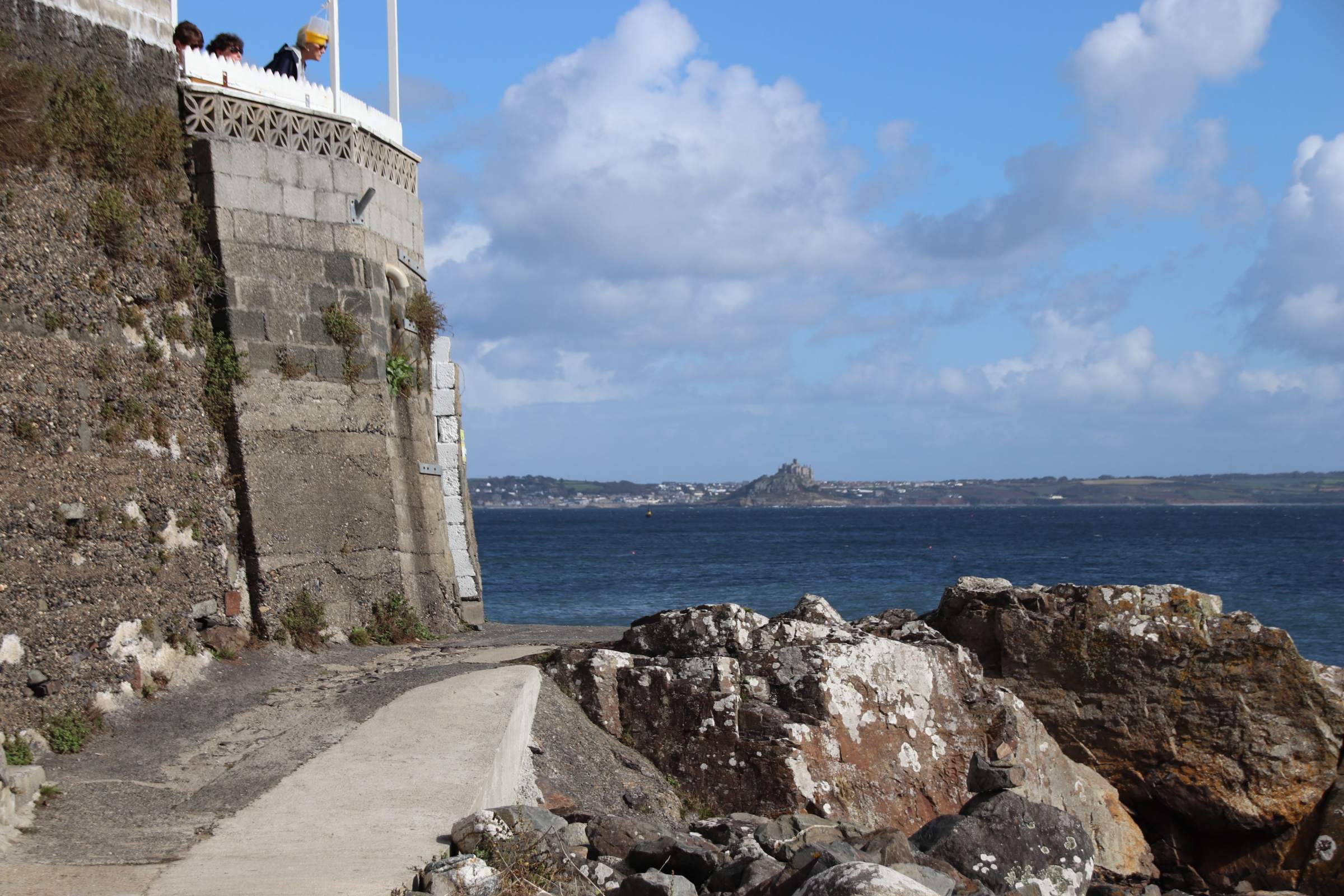
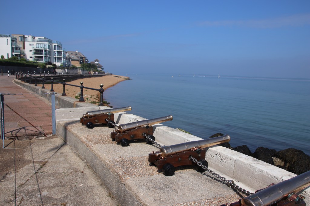
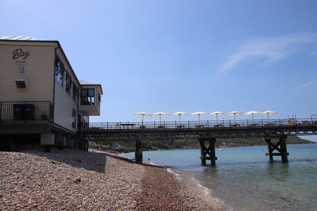
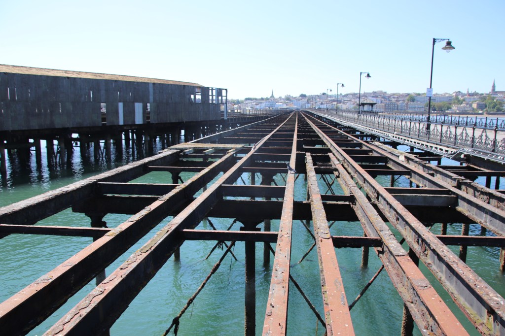
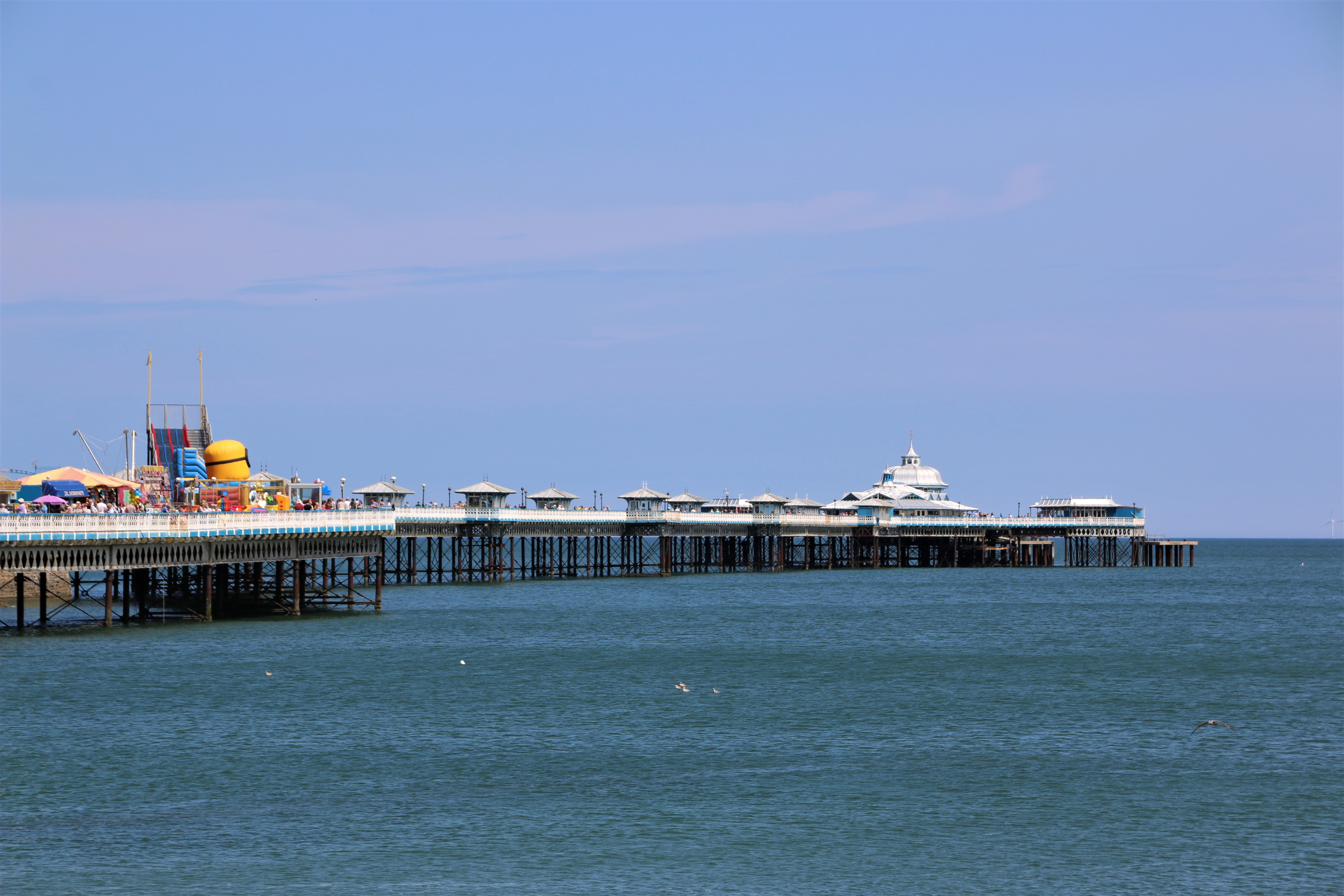
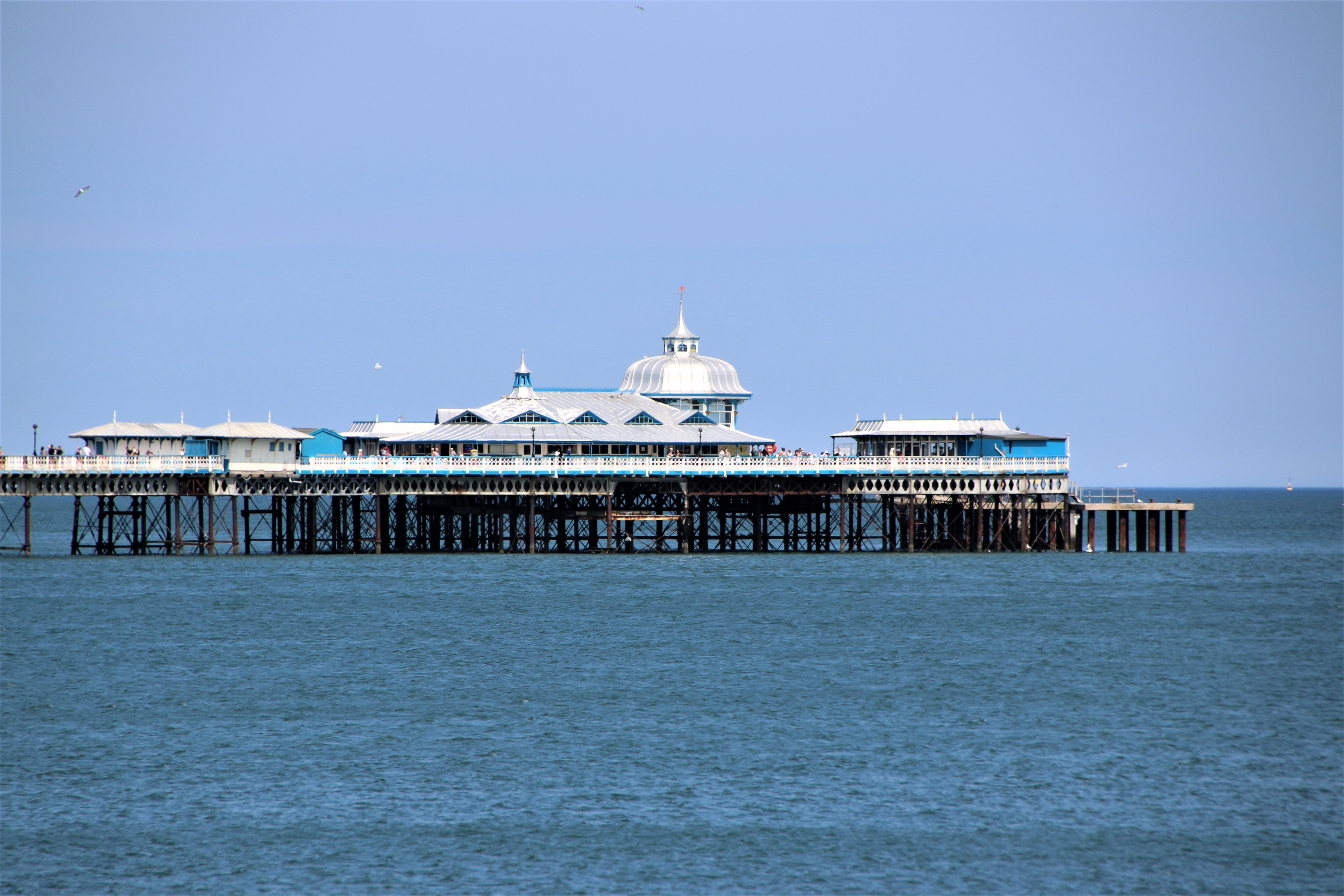
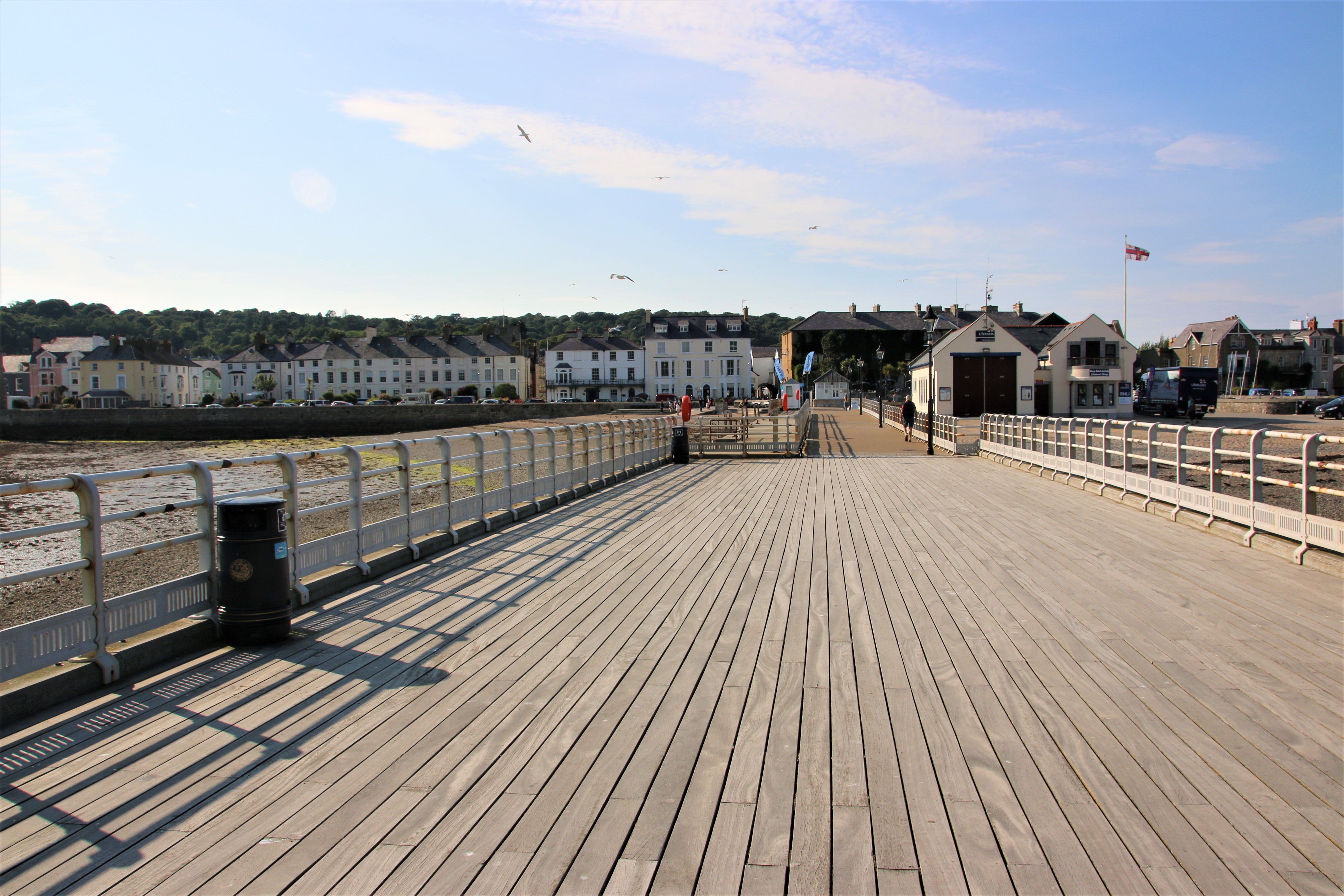
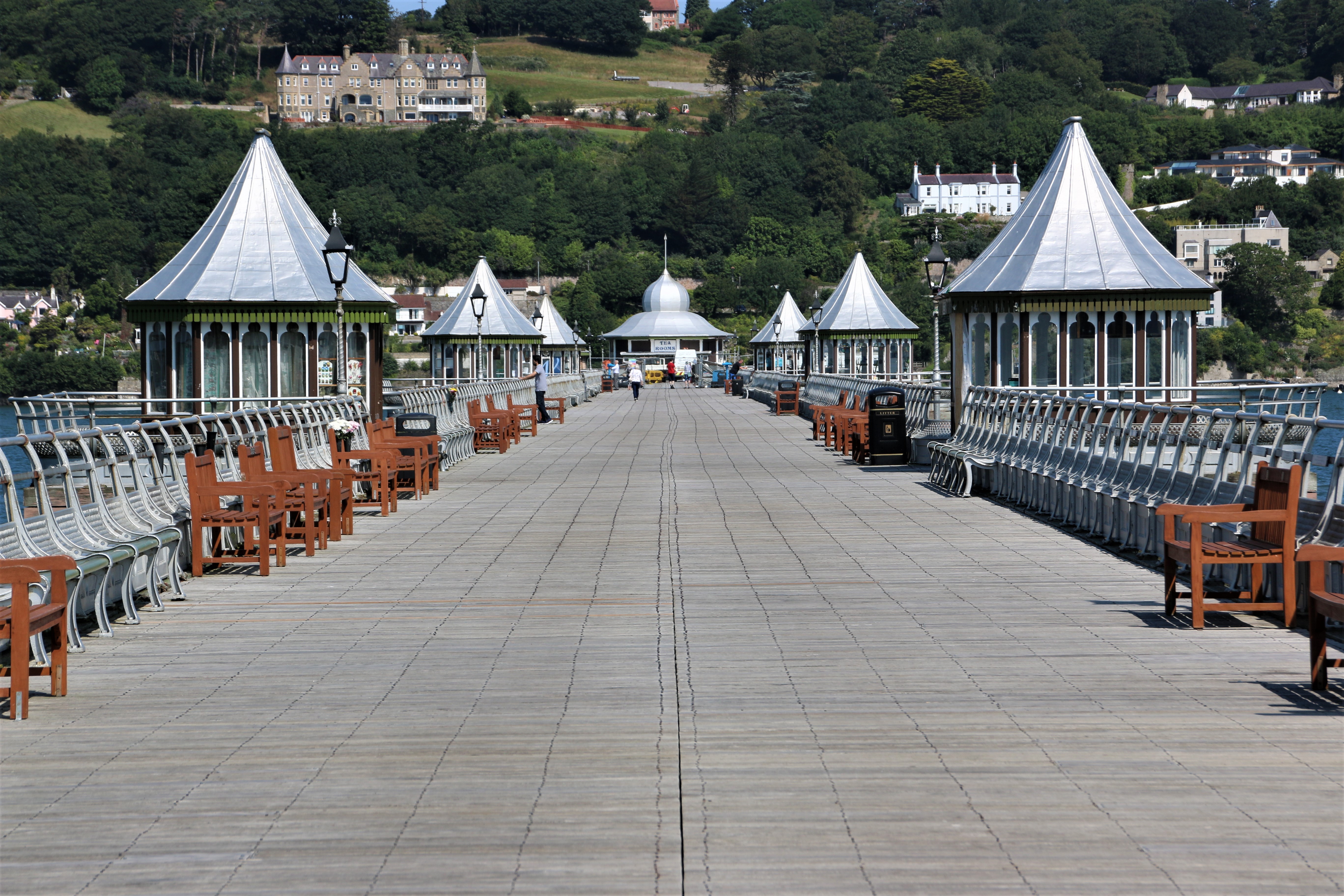
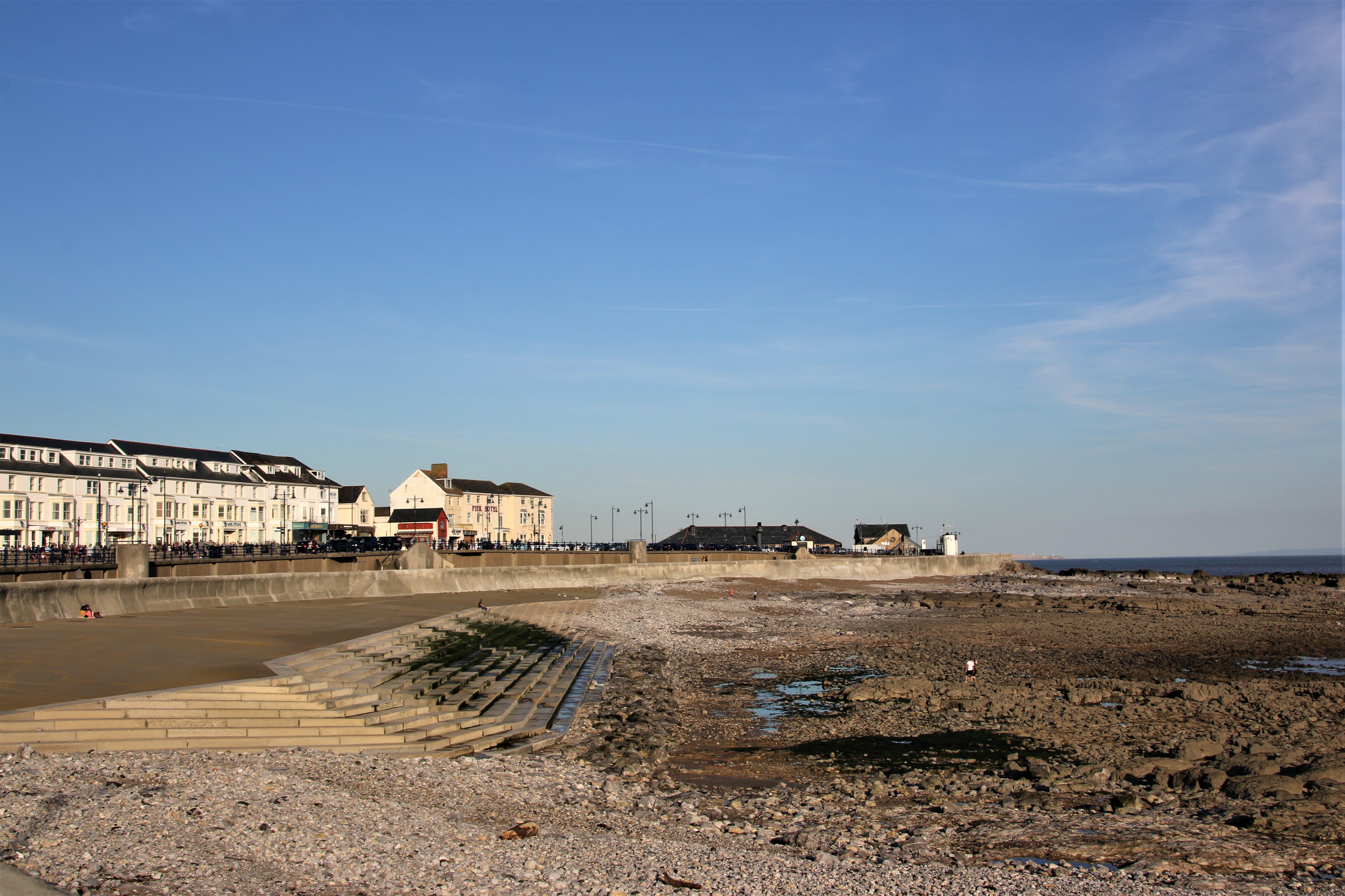
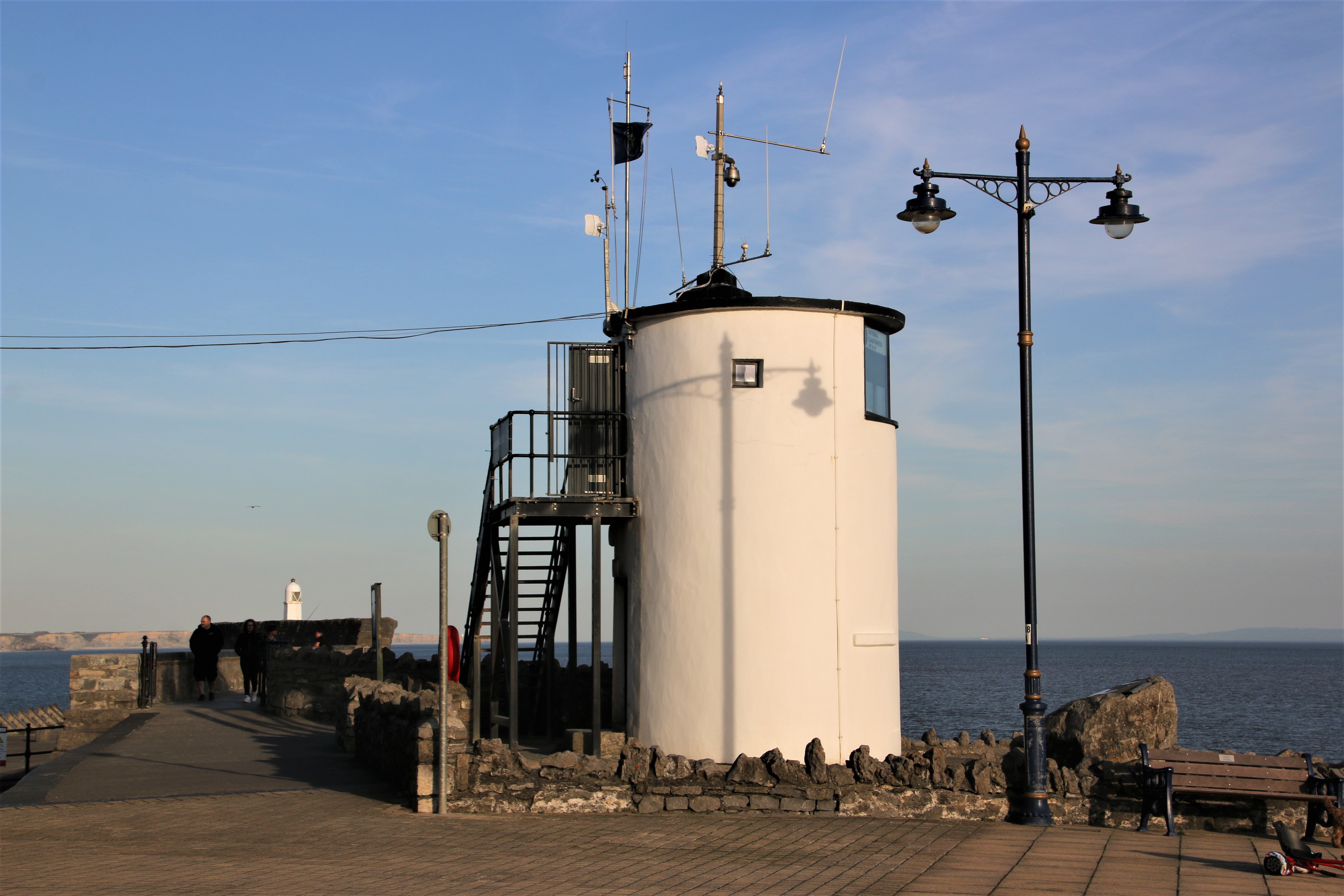
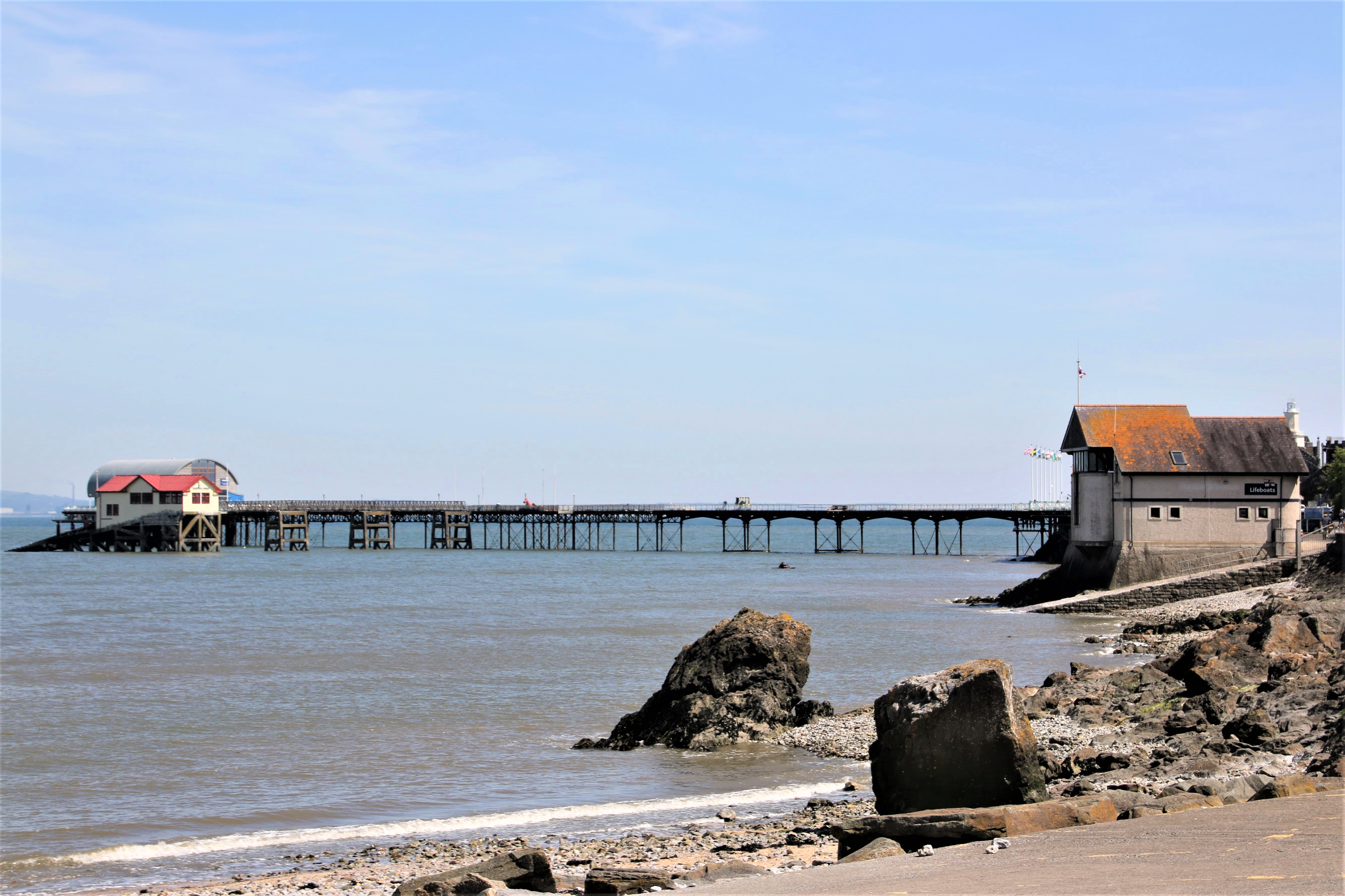
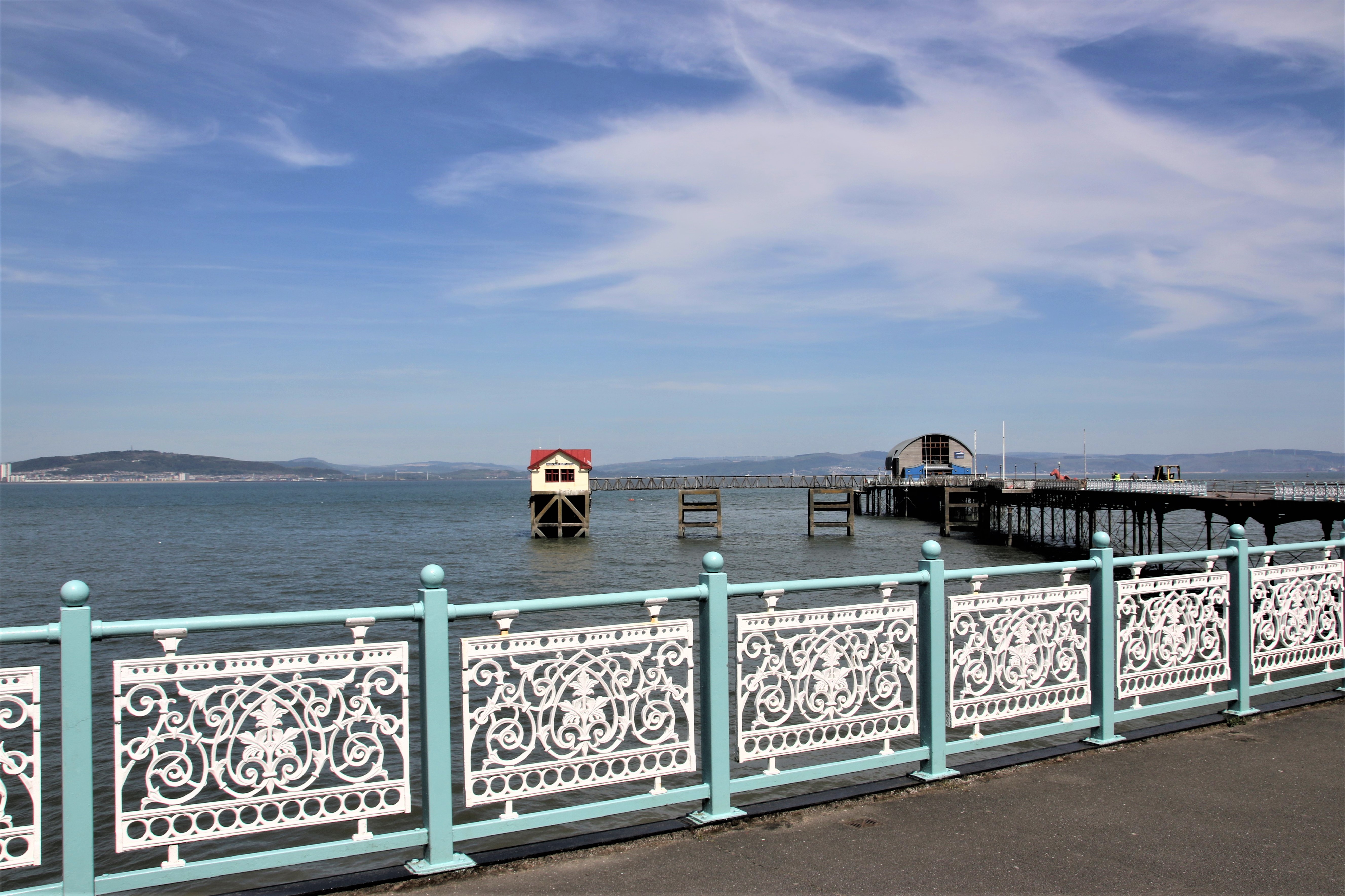
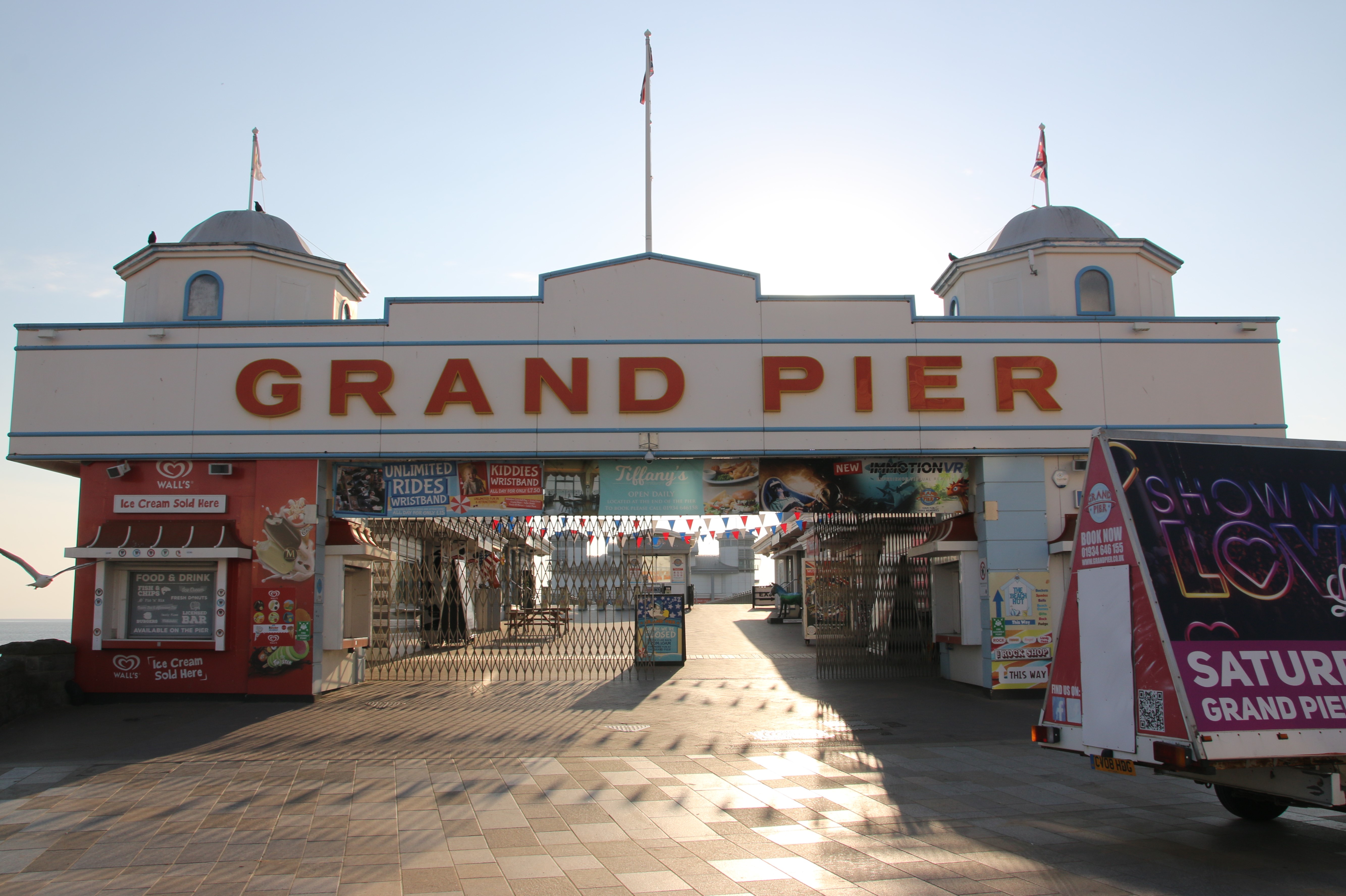
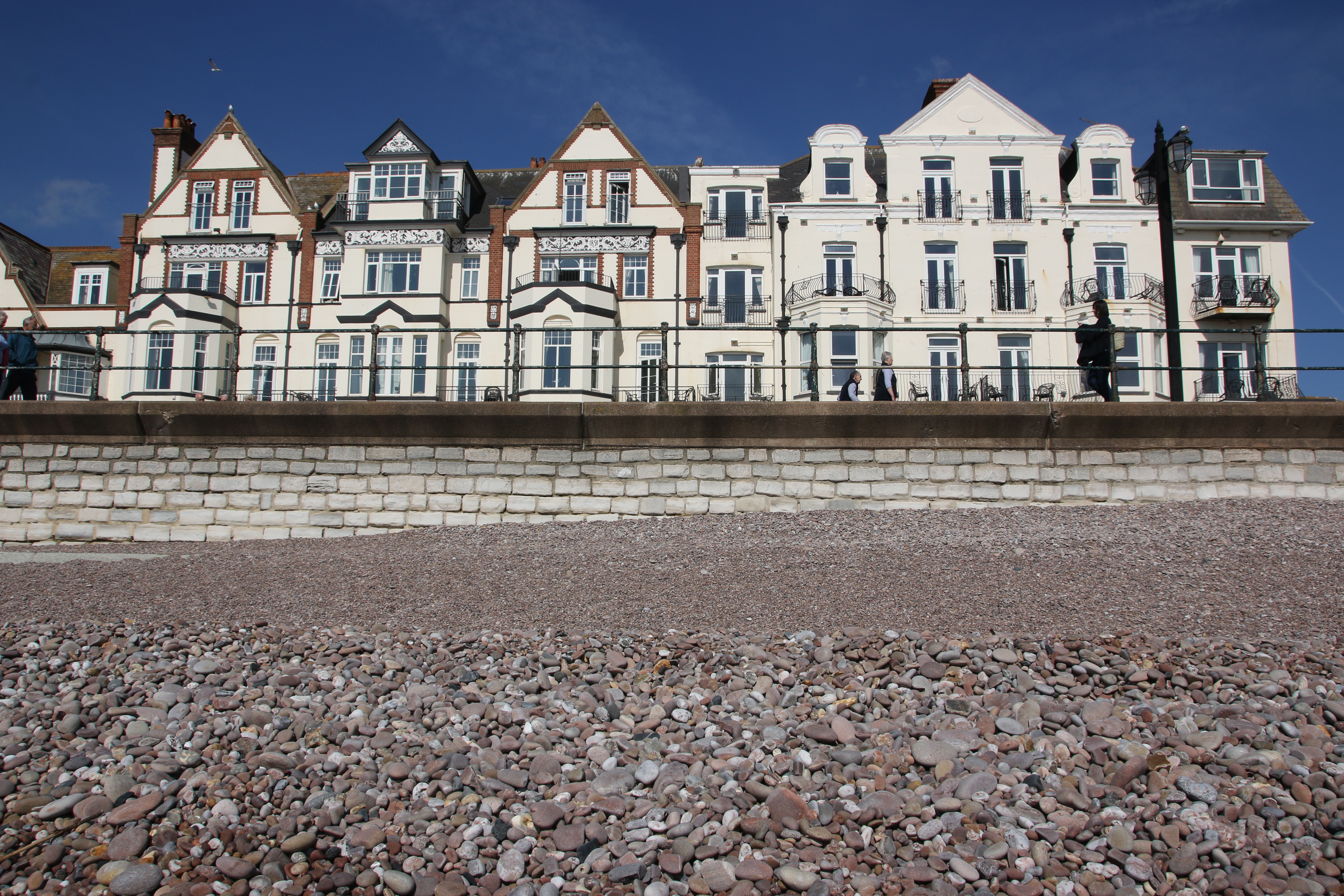
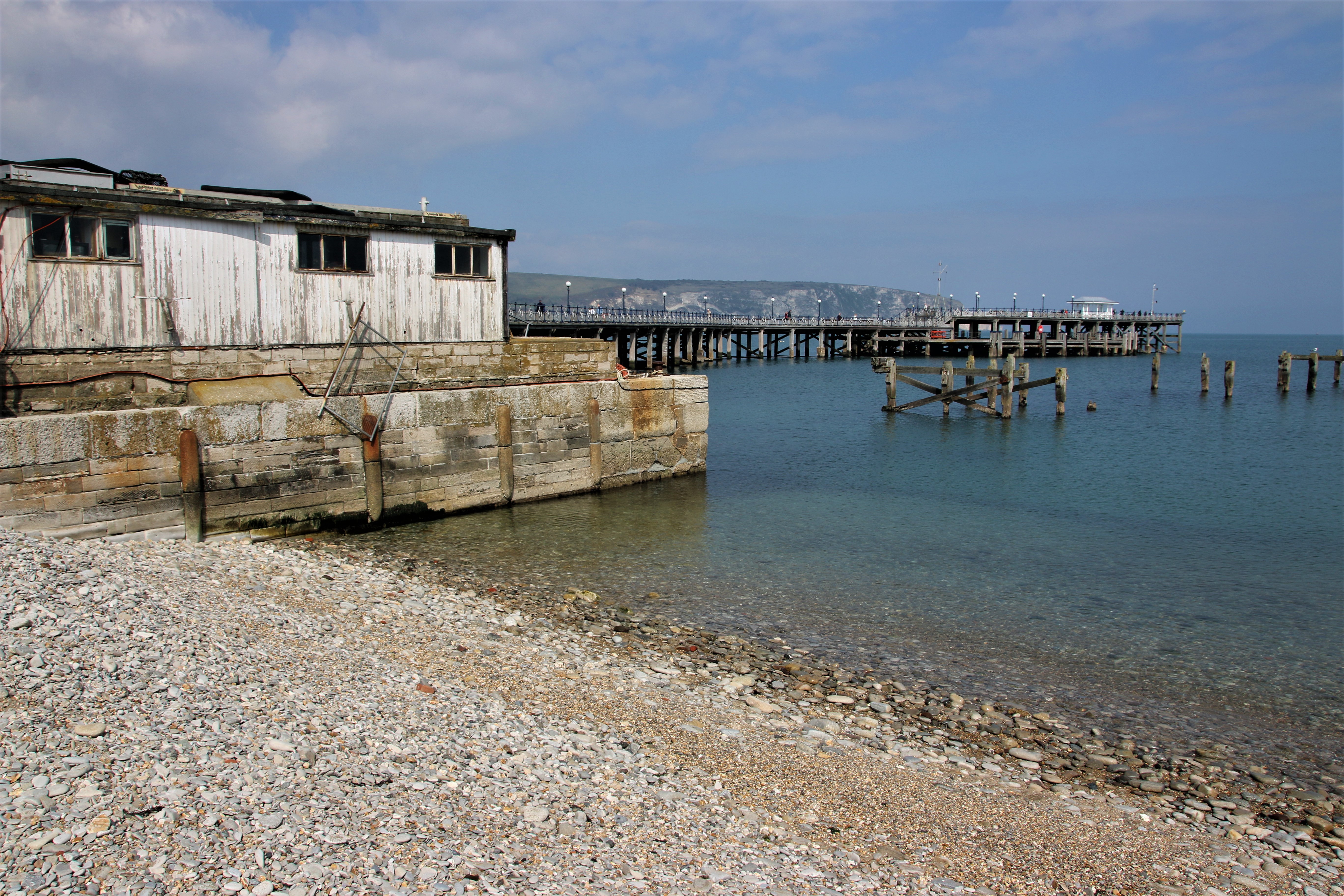
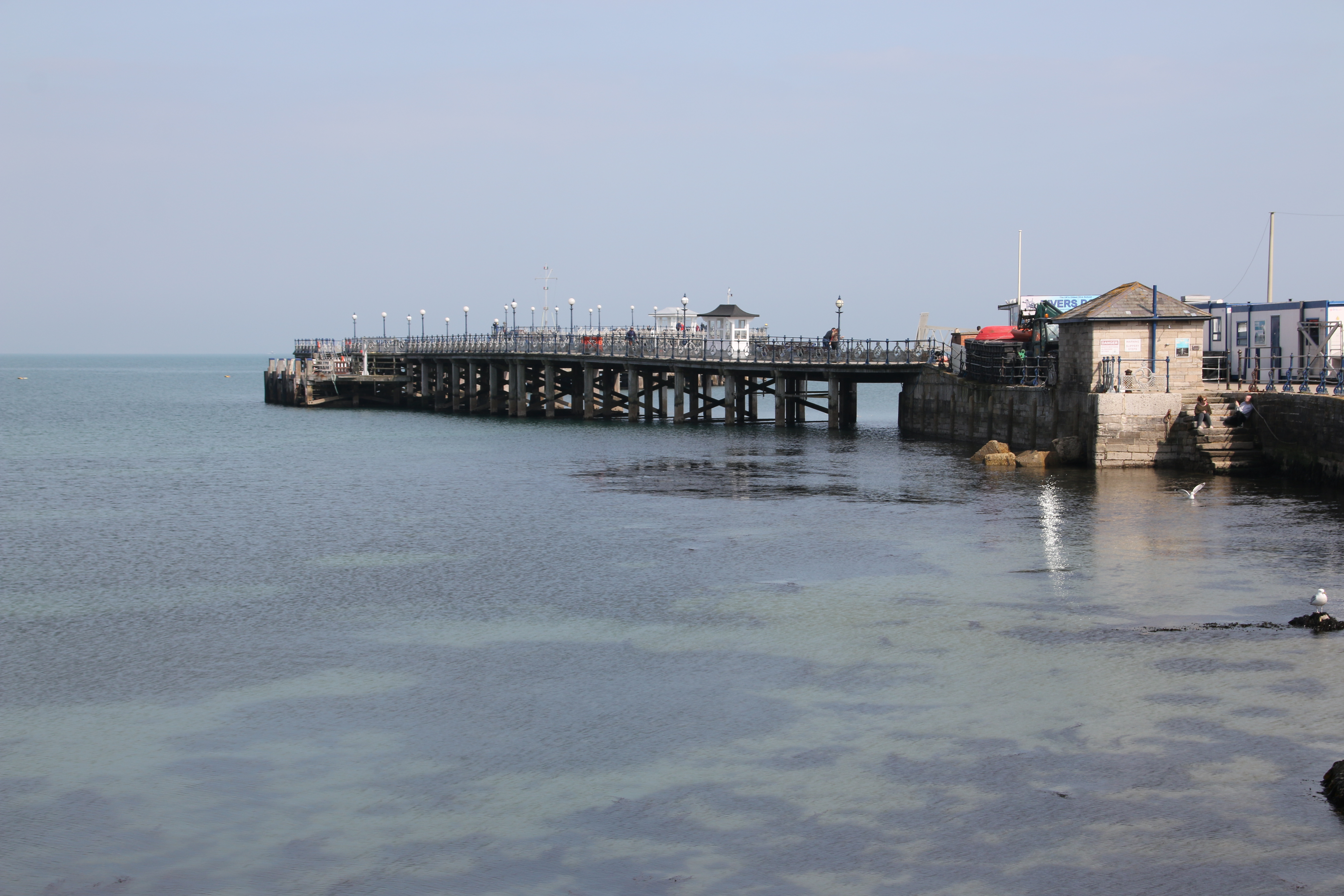
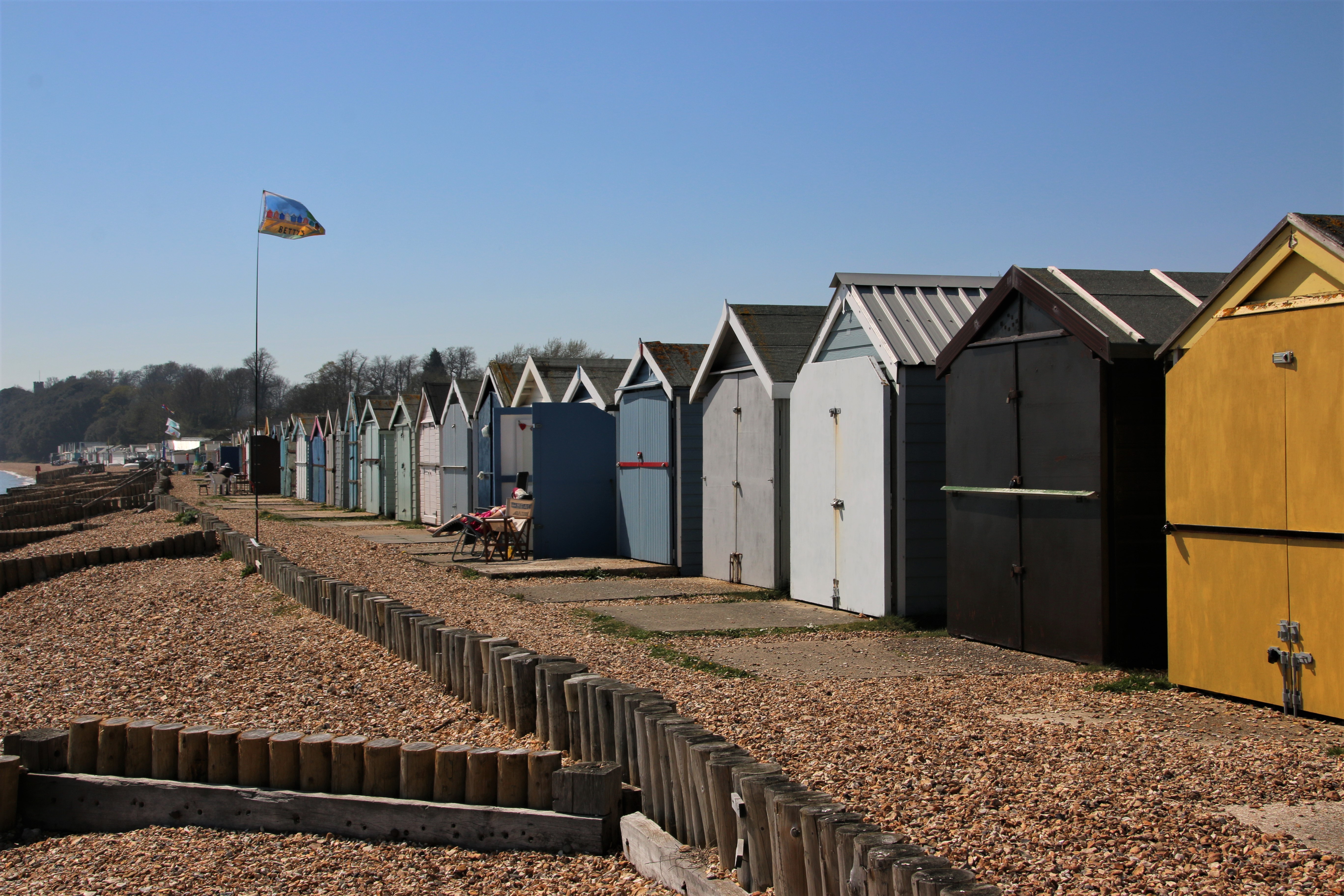
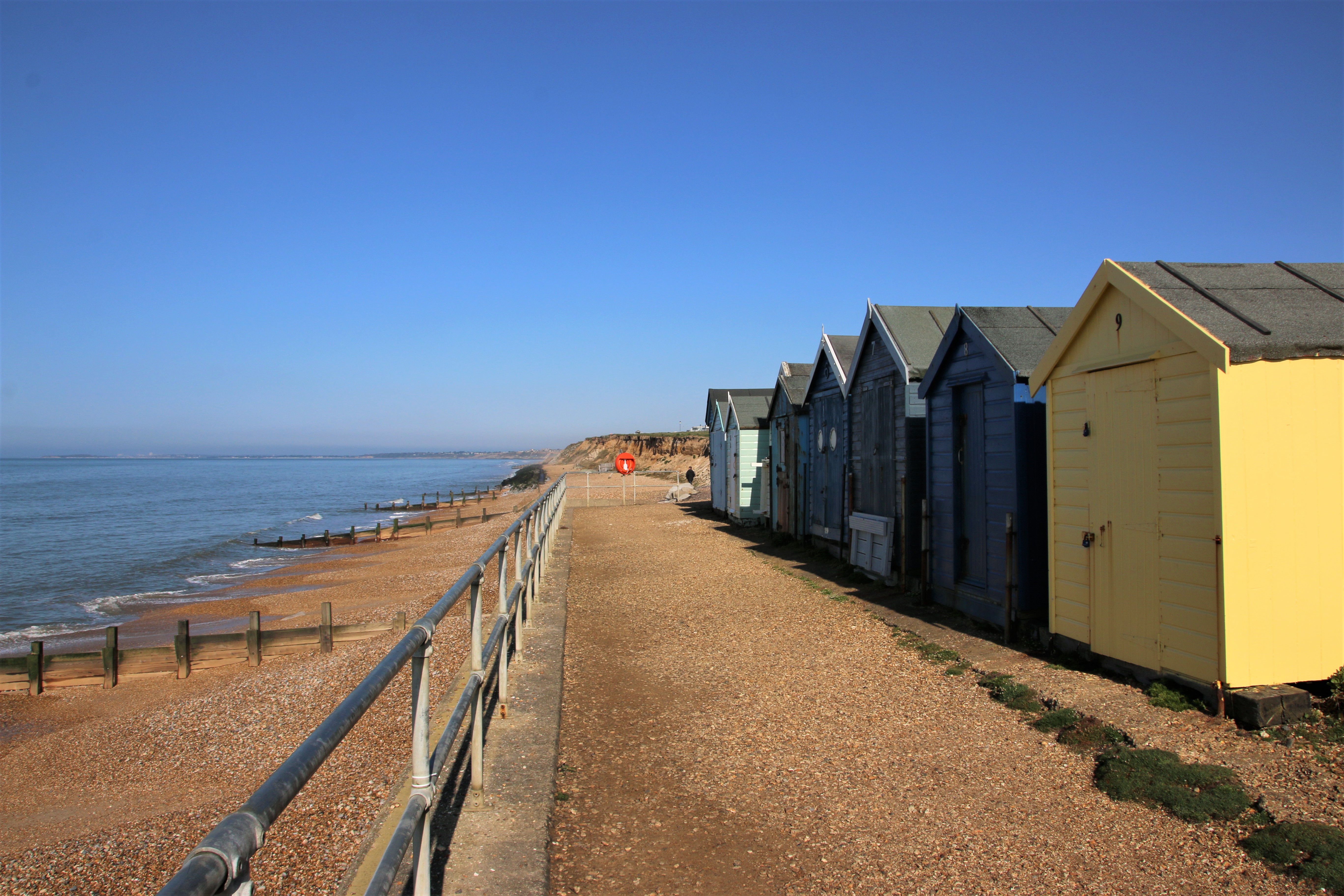
Penarth’s Victorian and Edwardian founders created an elegant resort with fine public buildings and ornate houses. It boasts a number of splendid parks that link the seafront to the quirky independent shops in the tree-lined centre. Because of the growing popularity of the beach, the Cardiff Steam and Navigation Company started a regular ferry service to Penarth in 1856 which continued until 1903. Boats were loaded and unloaded at Penarth using a landing stage on wheels which was hauled up the beach. In an attempt to find a safer way to unload passengers, a permanent pier opened in 1895. In 1907, a small wooden “Concert Party” theatre was built at the seaward end. In 1929, a new pier-head berthing pontoon was added and in 1930 the current art deco pavilion was built. In 2013 a revamped pier was reopened, complete with art gallery, café and cinema.
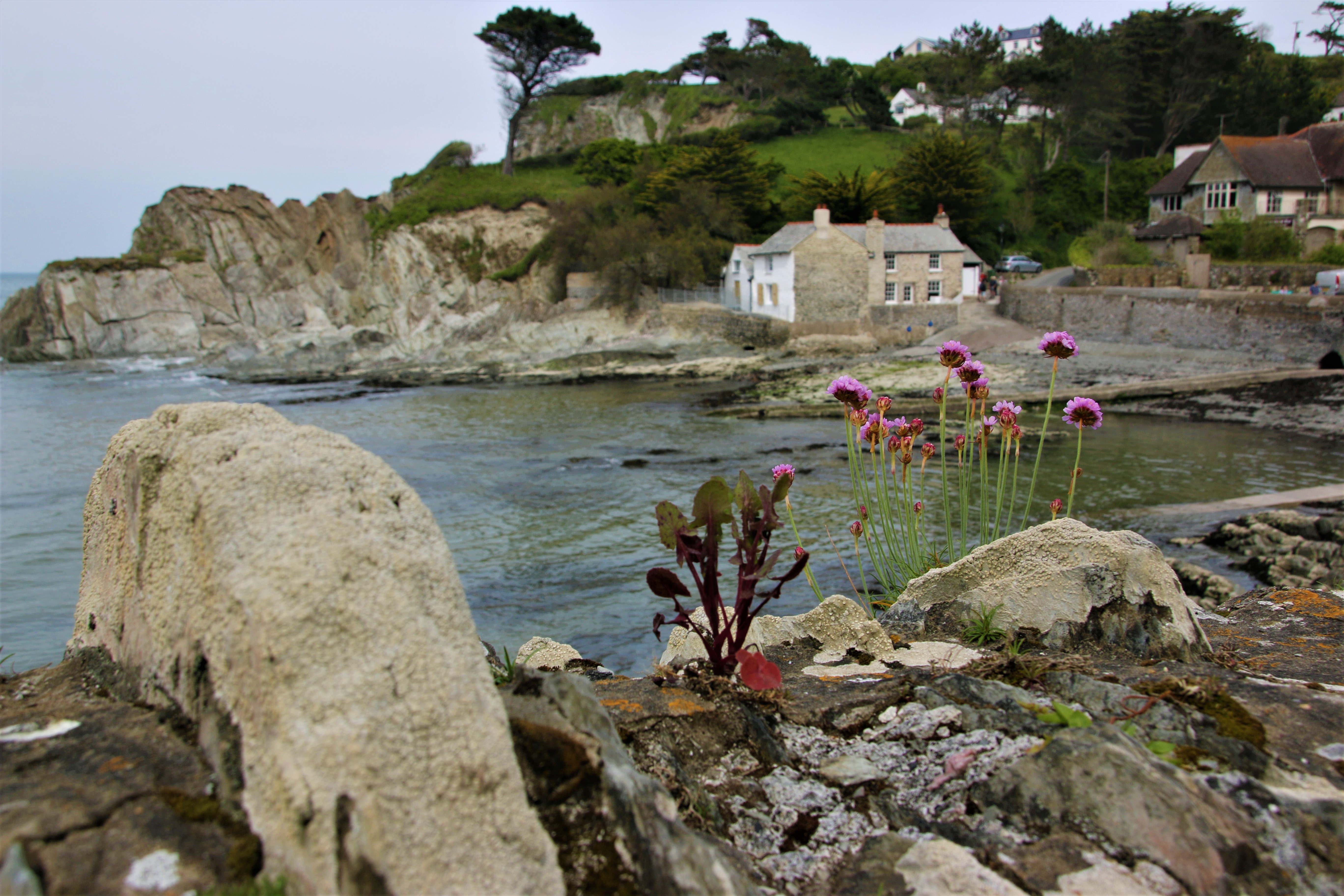
Swanbridge

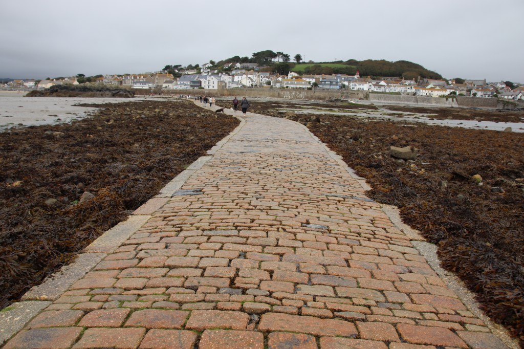
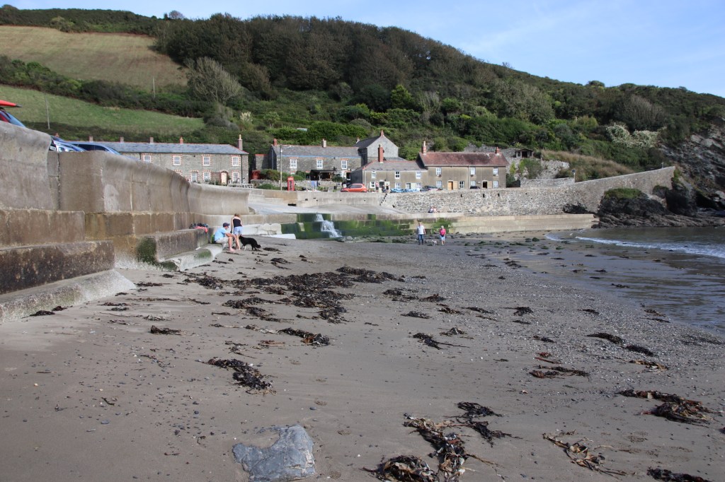
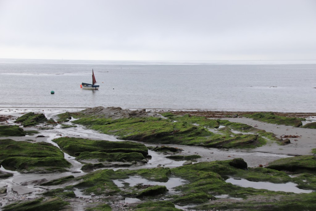
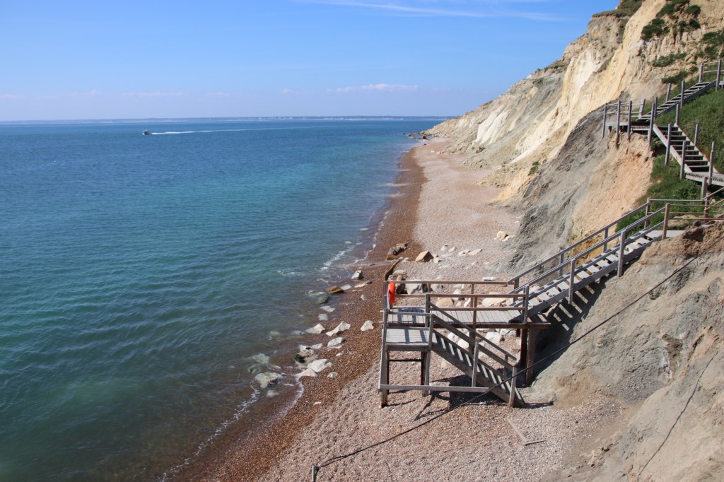
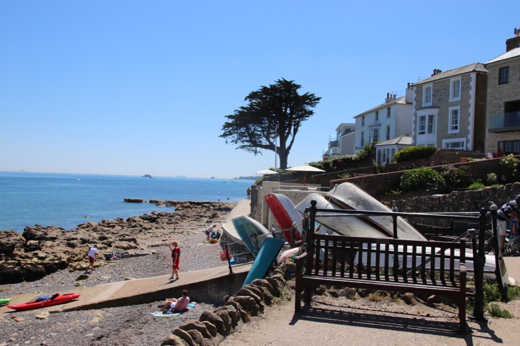
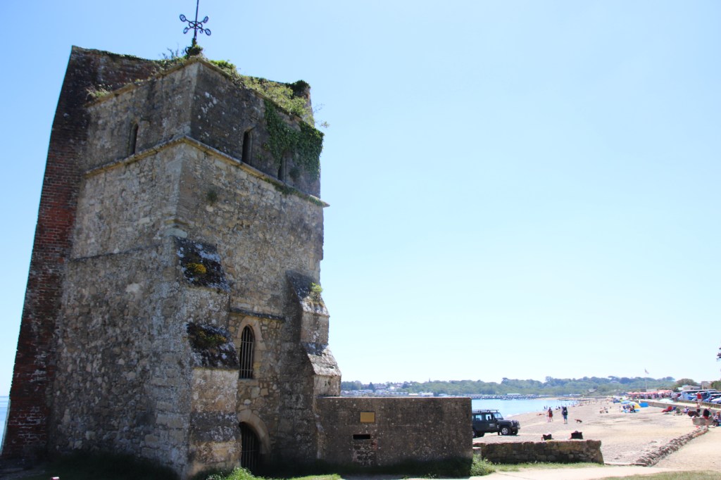
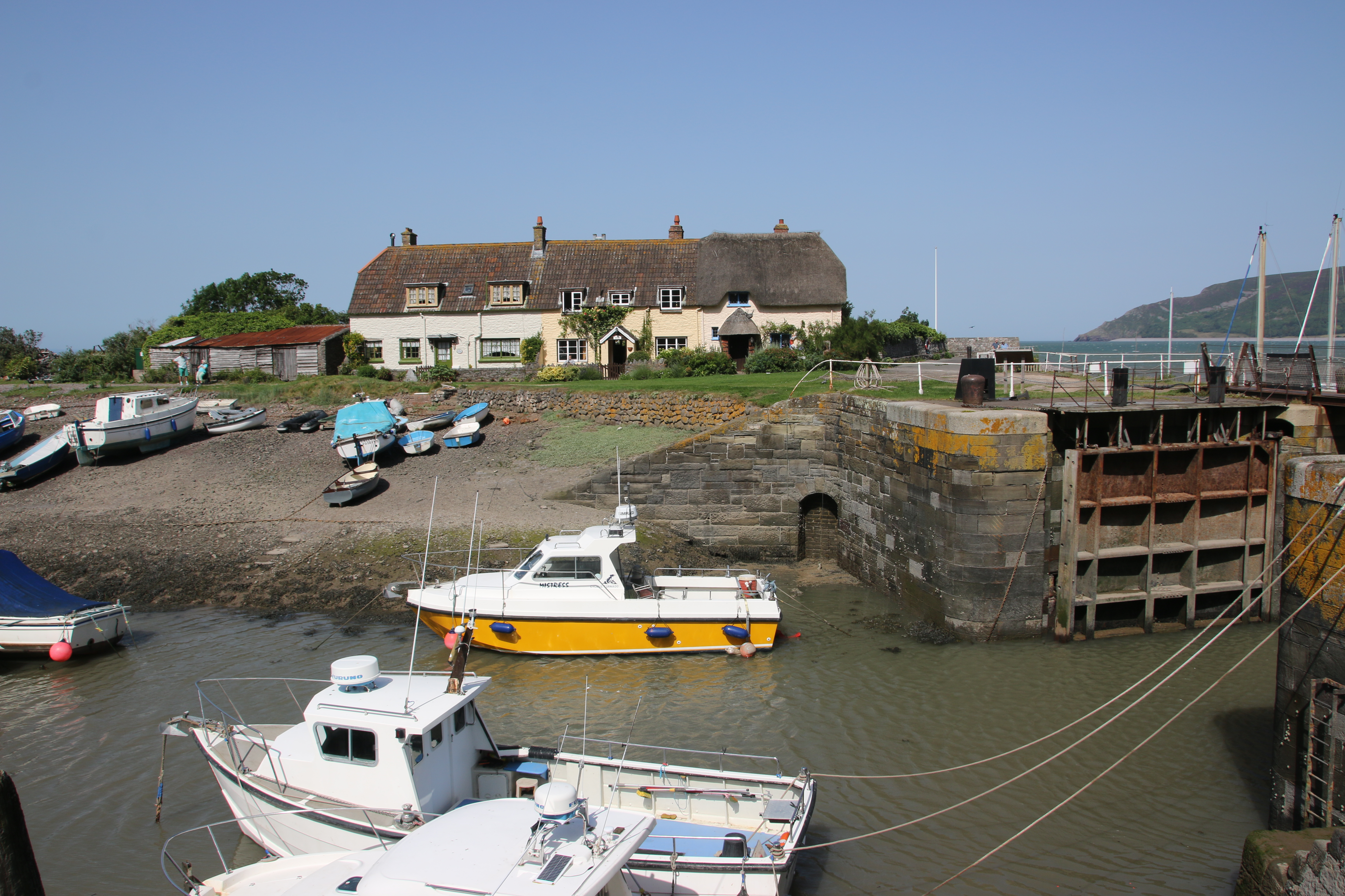
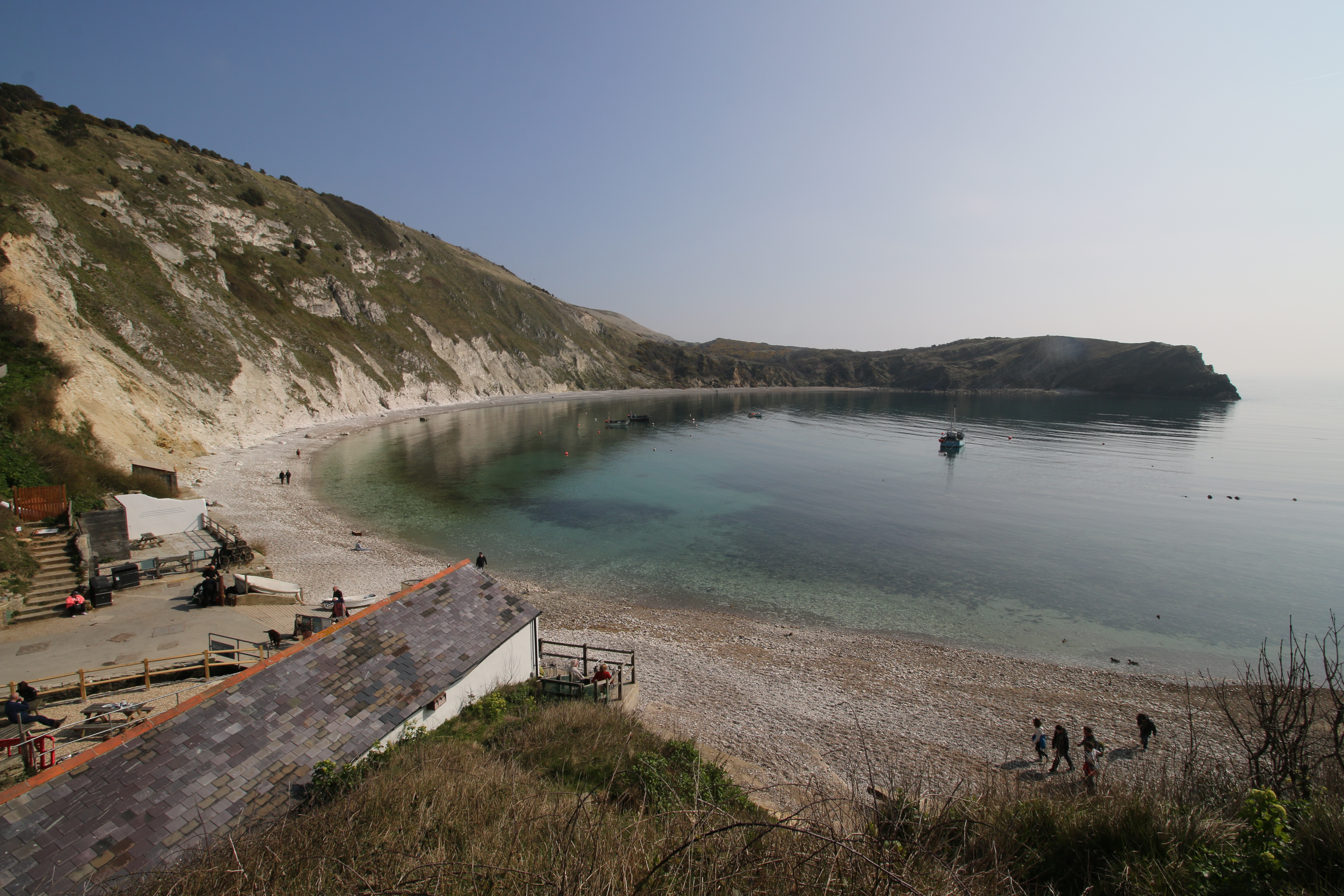
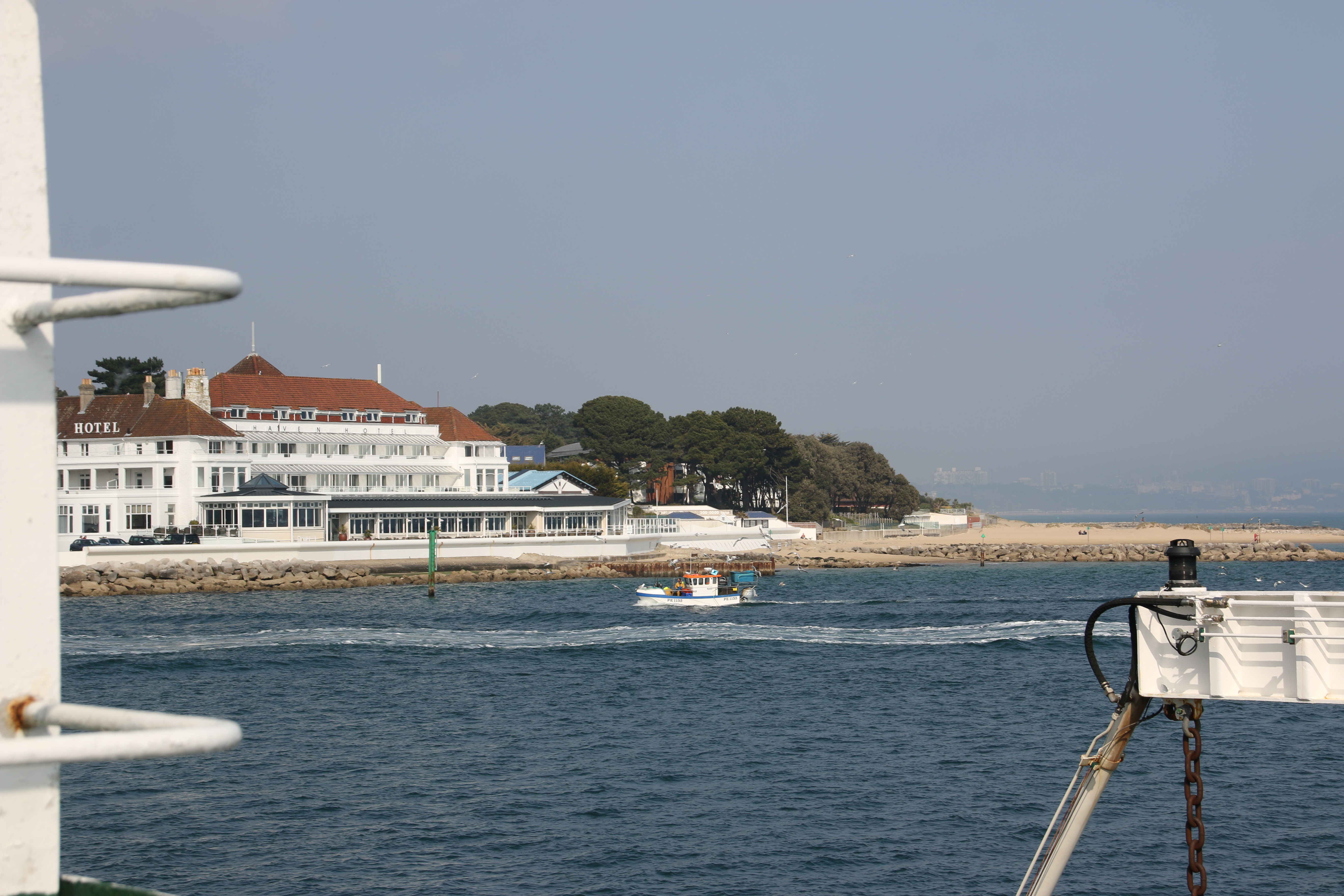
From the late 1890s Lavernock and Swanbridge were popular holiday locations for day trippers from the valleys of South Wales. Beaches were packed with visitors throughout the summer. There was an ice cream parlour, two busy cafes, the Golden Hind public house and a hotel. Most travelled by steam trains that stopped at Lavernock and Swanbridge Halts until they closed in the 1960s. Today, Swanbridge is a mostly rocky beach at the end of a narrow lane. A popular seafront pub, The Captain’s Wife, has outdoor seating and a car park which doubles up for the beach. Offshore, Sully Island can be reached via a causeway at low tide, not that there’s a lot there..
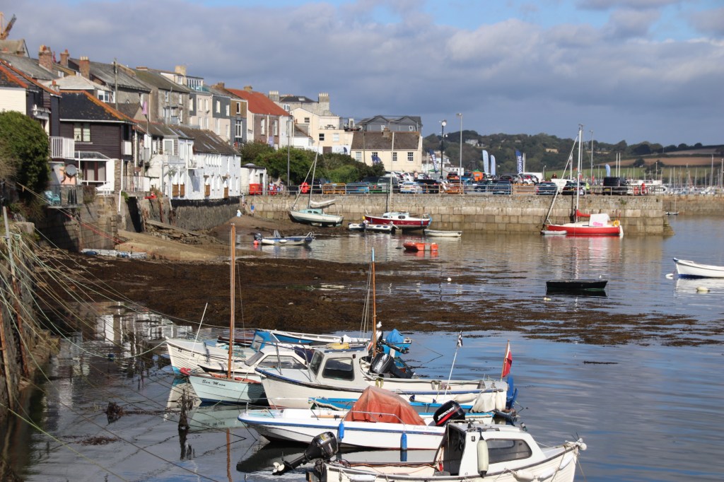
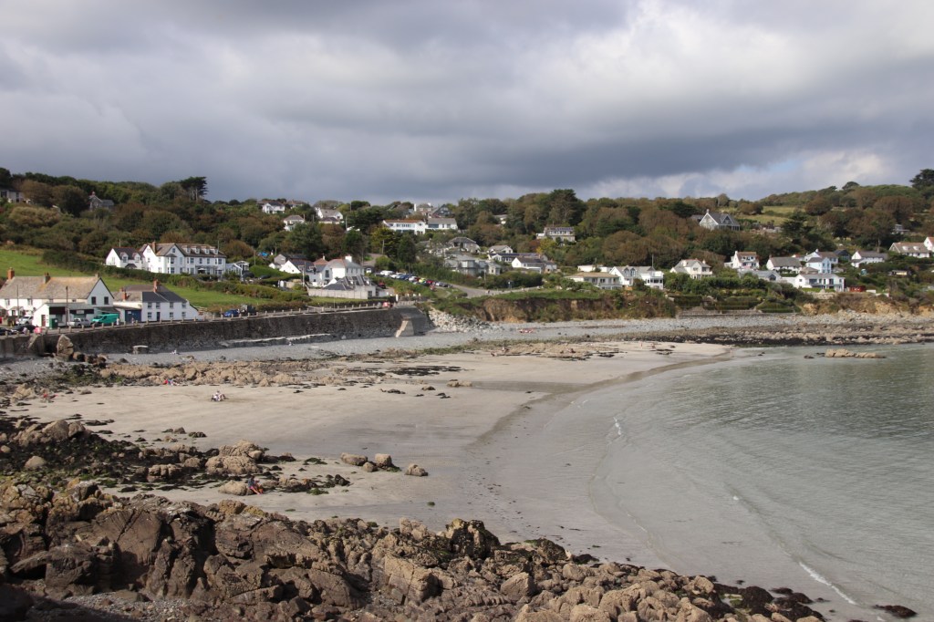
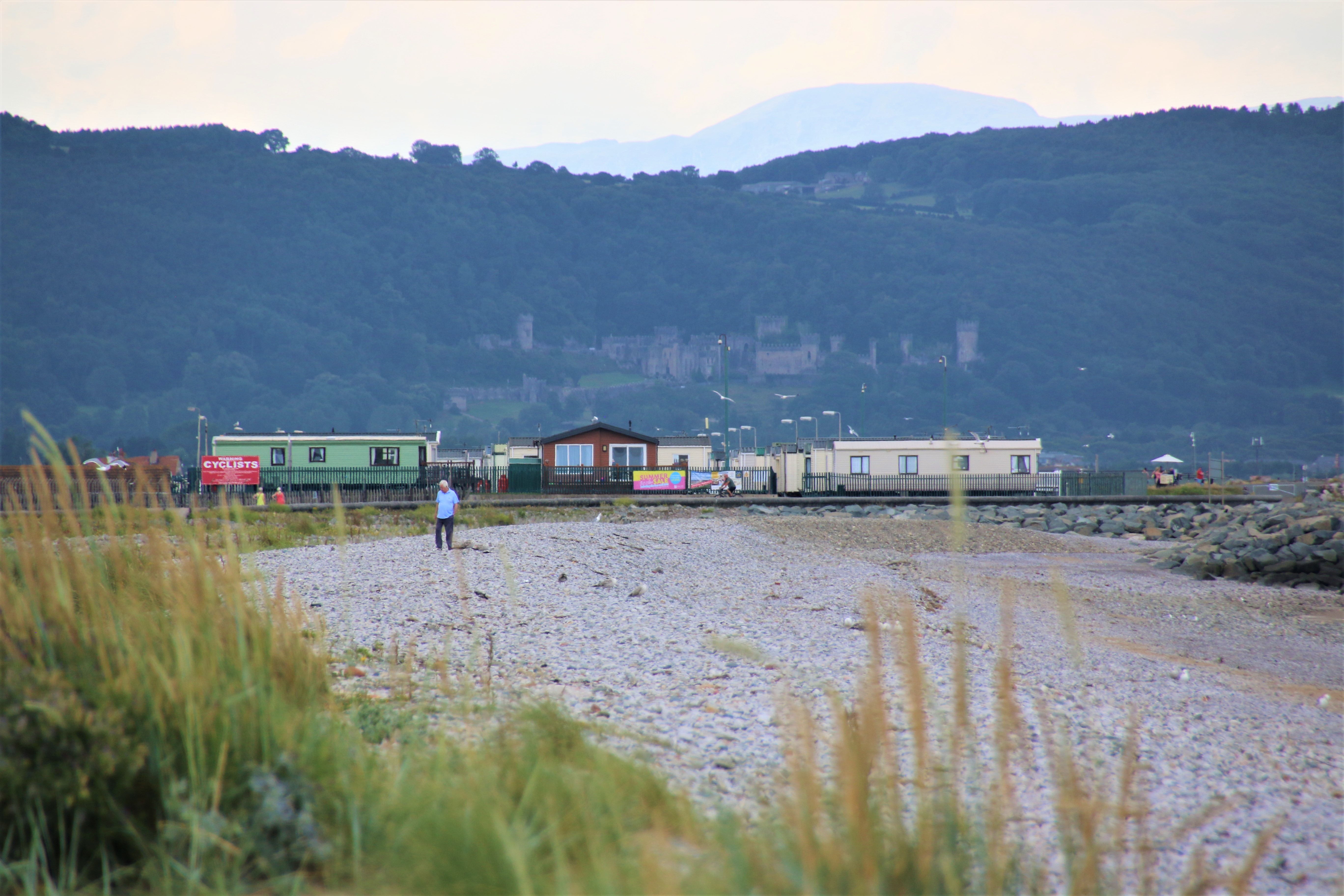
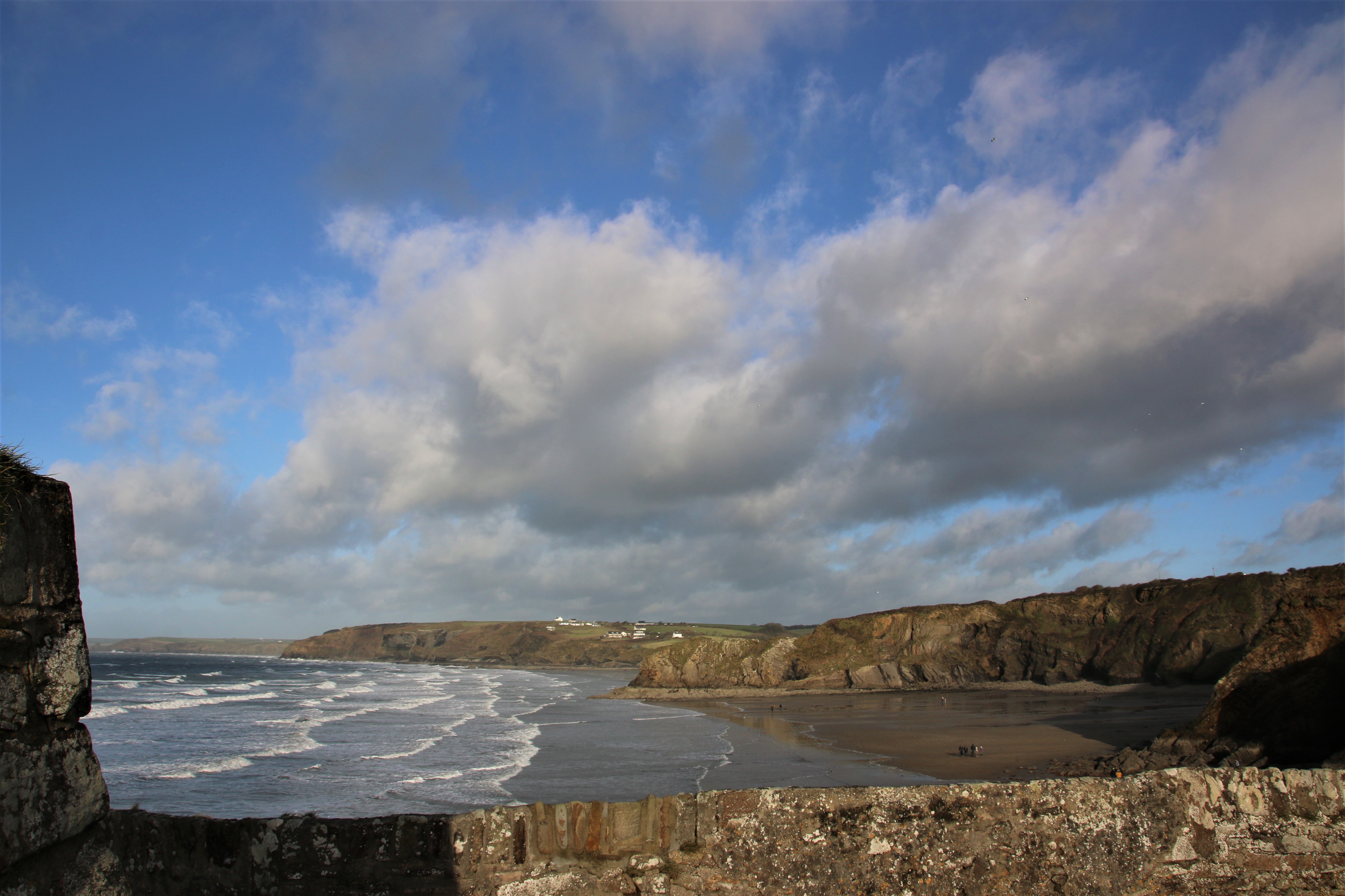
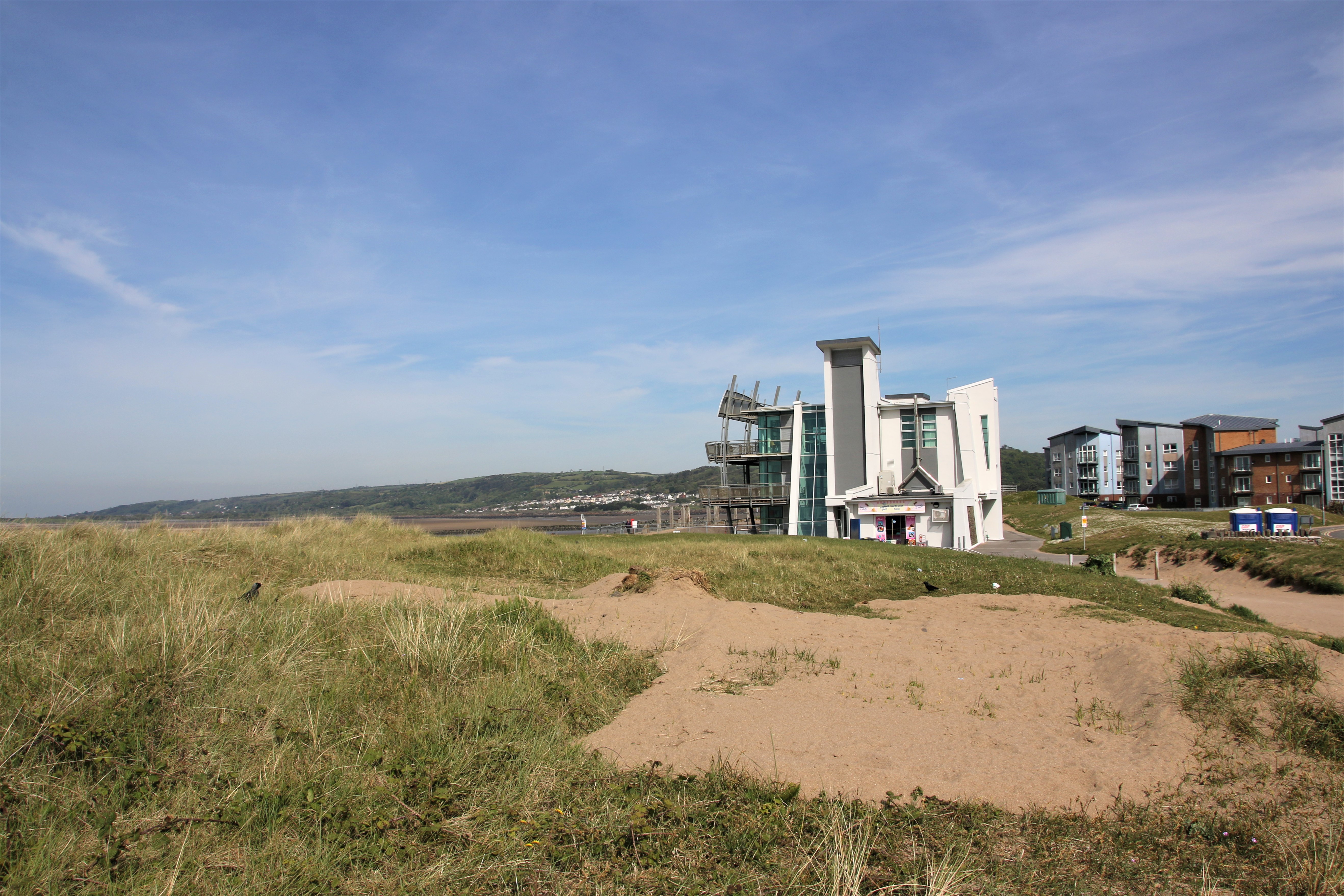
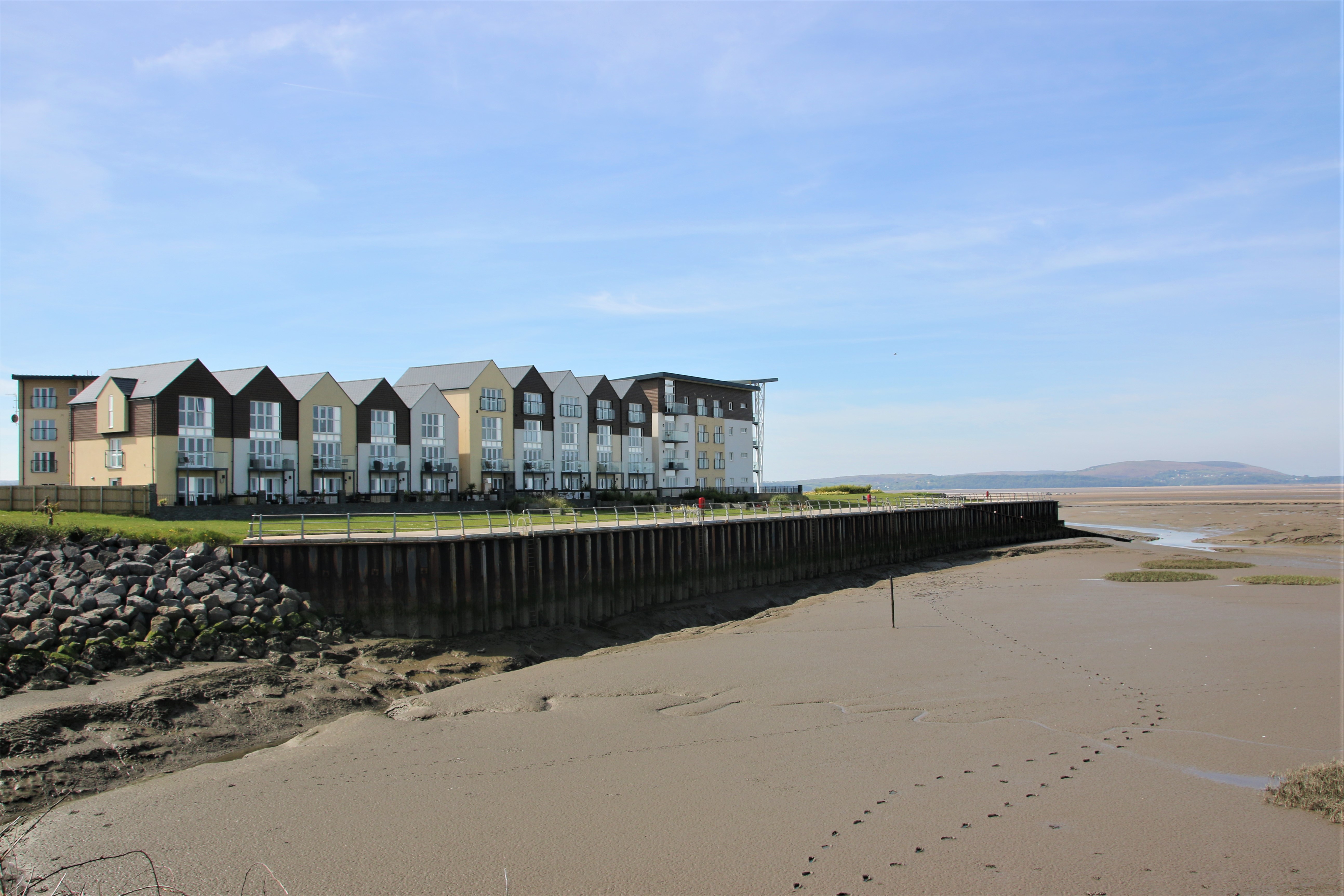
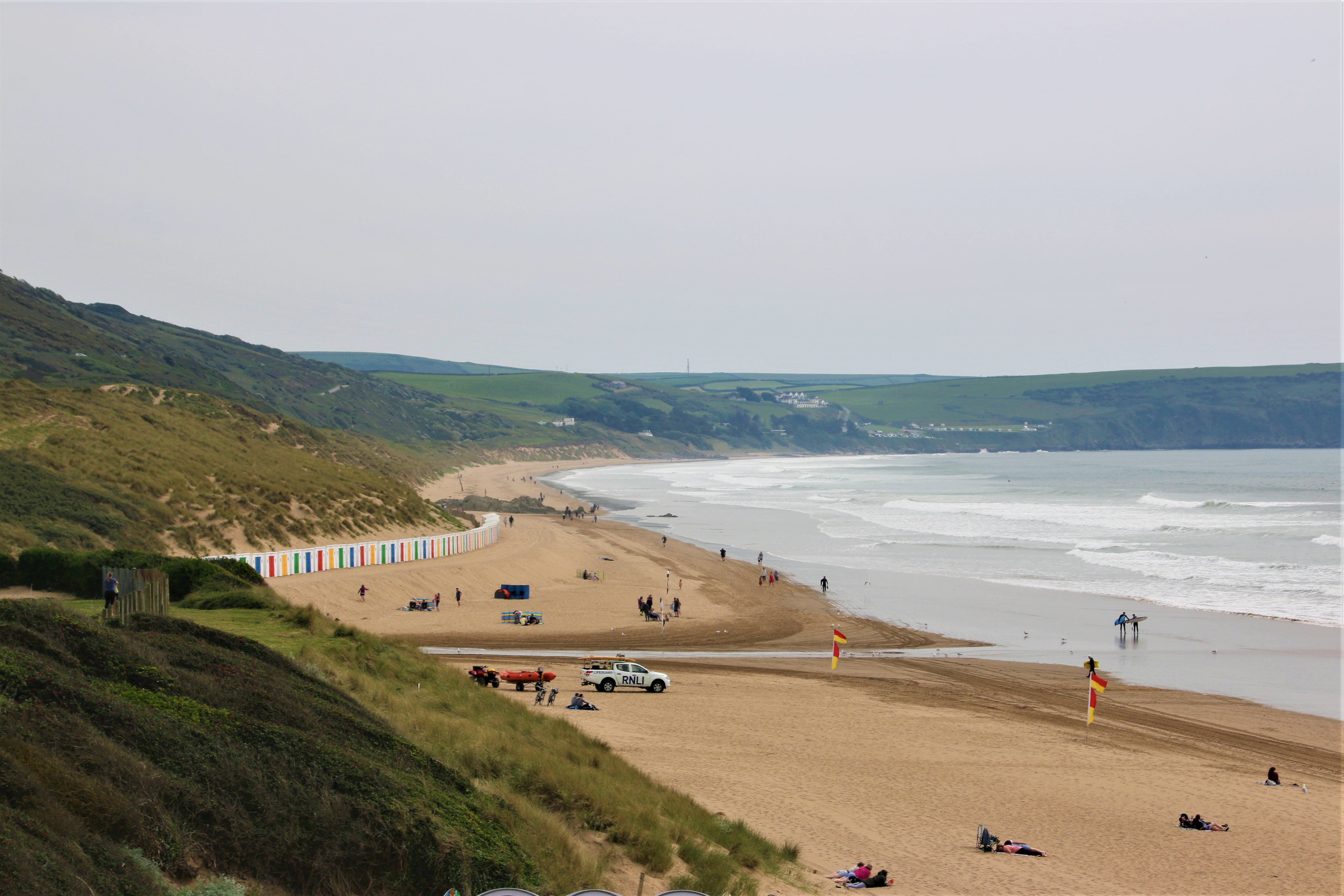
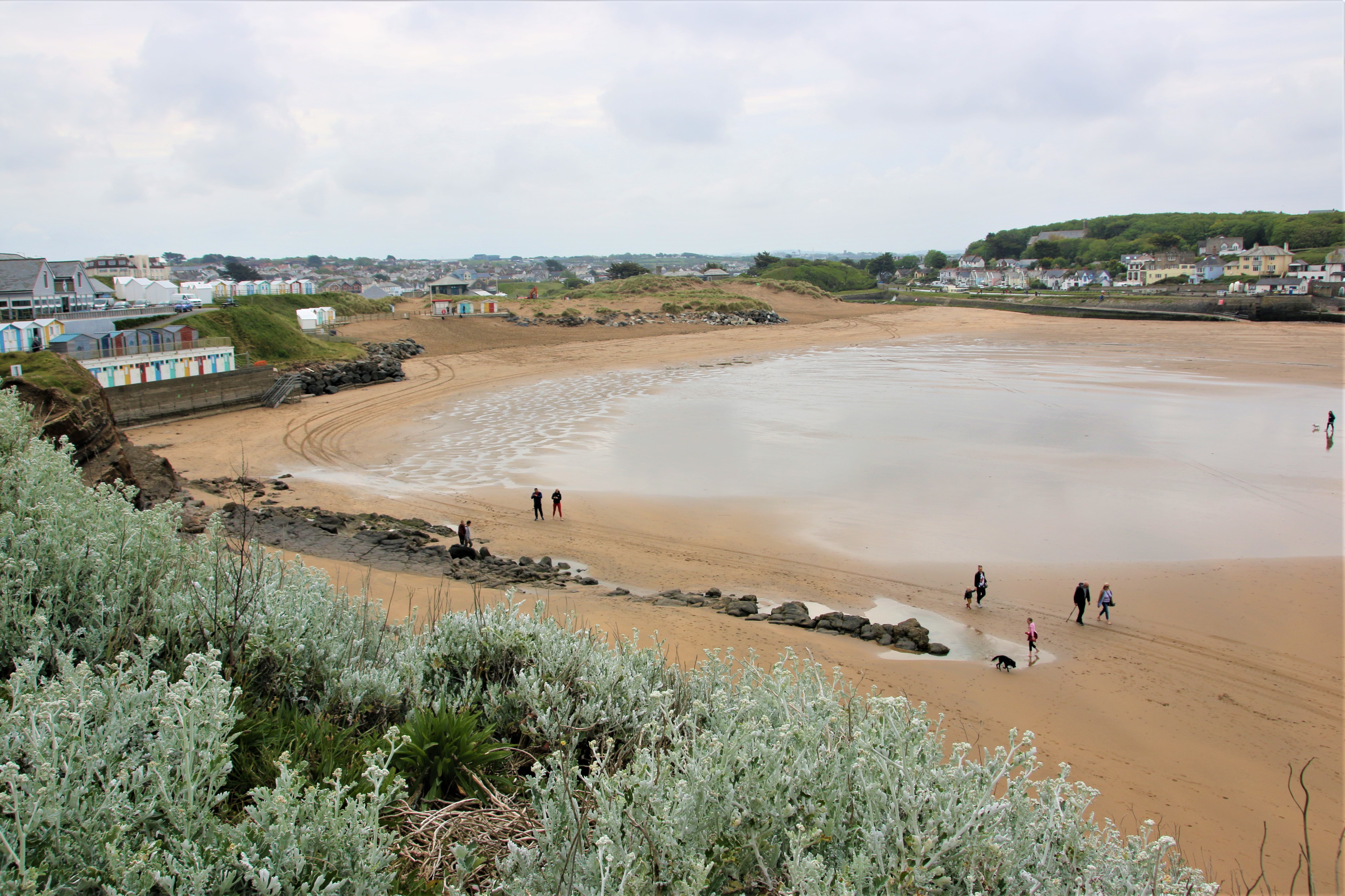
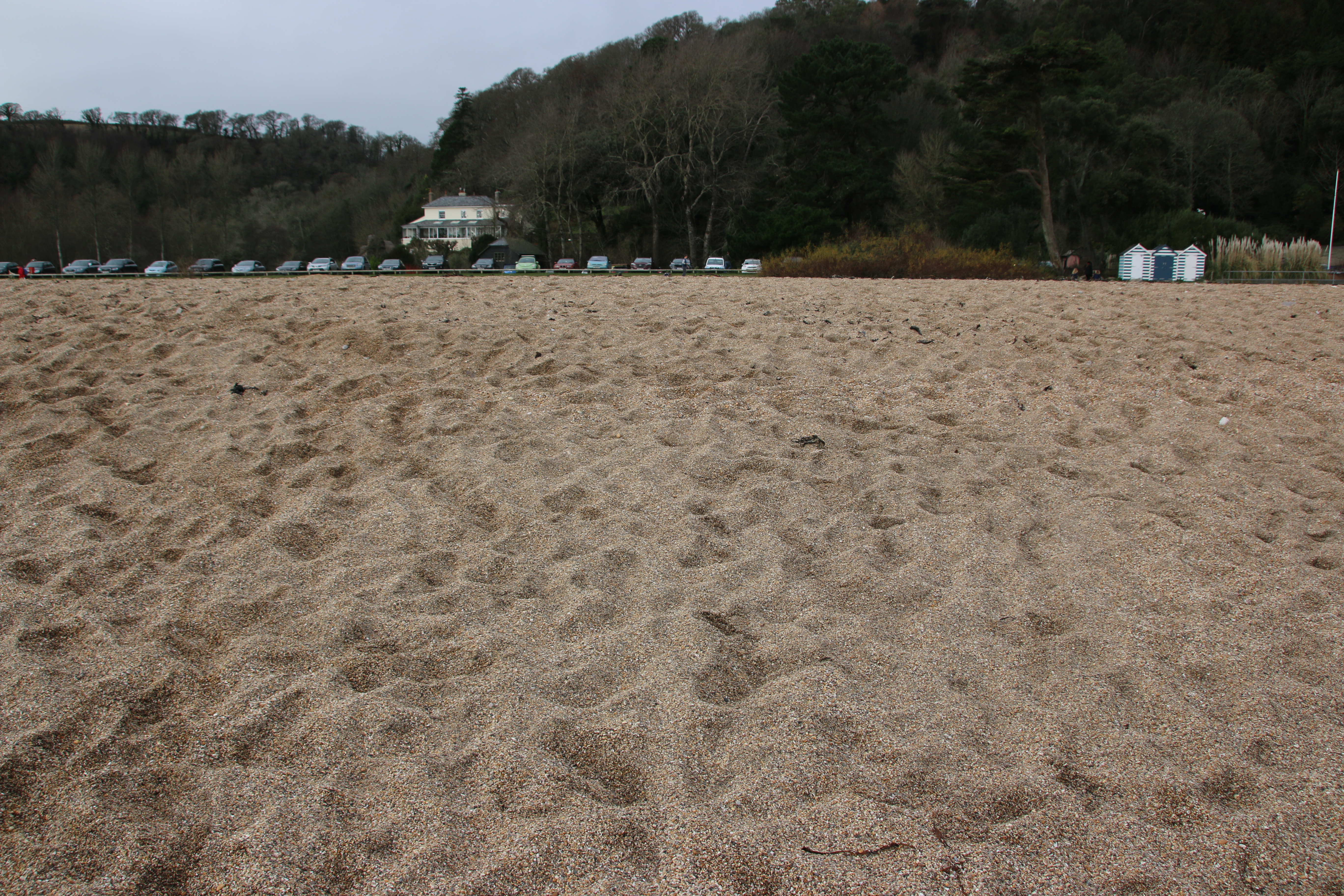
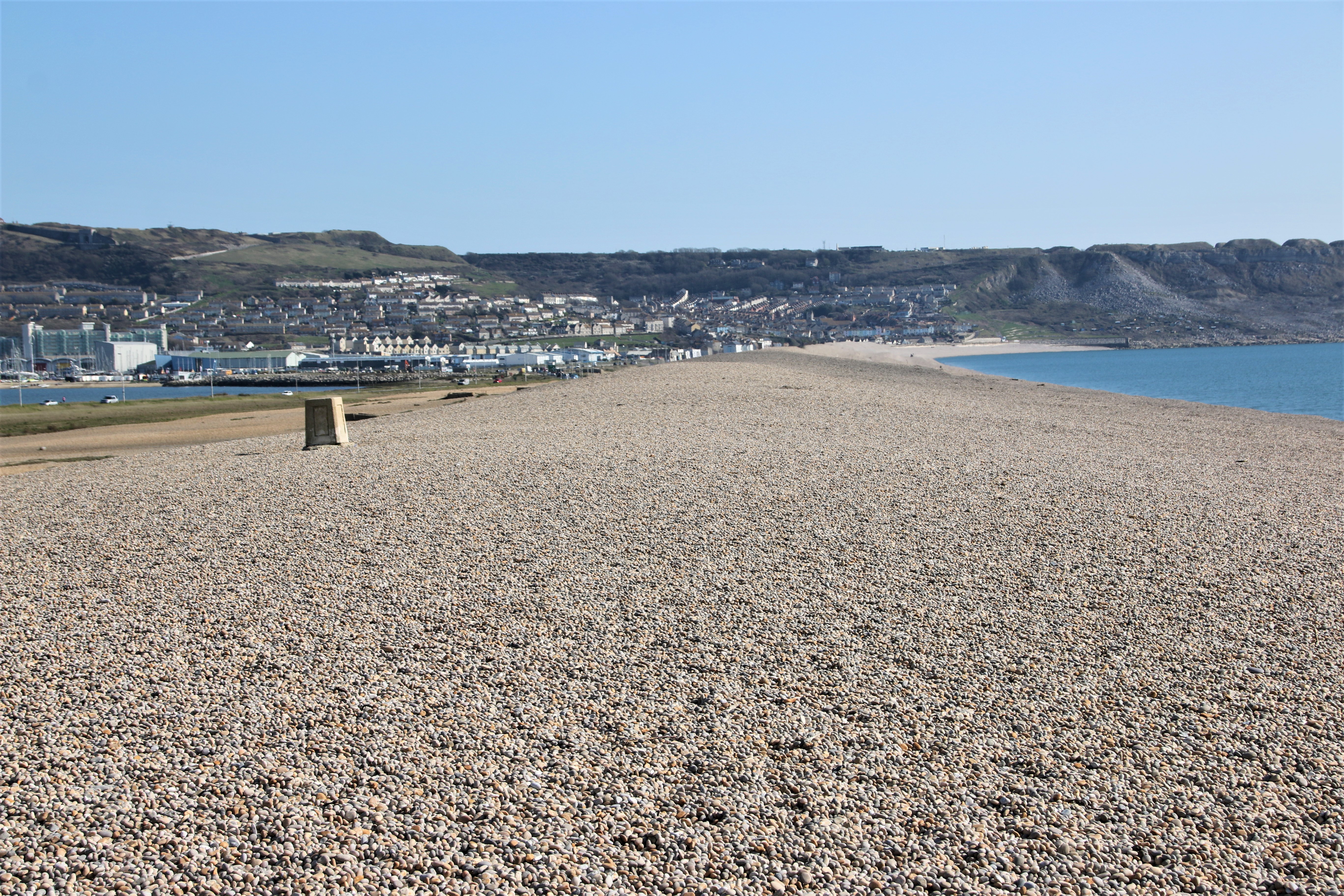
Barry Island

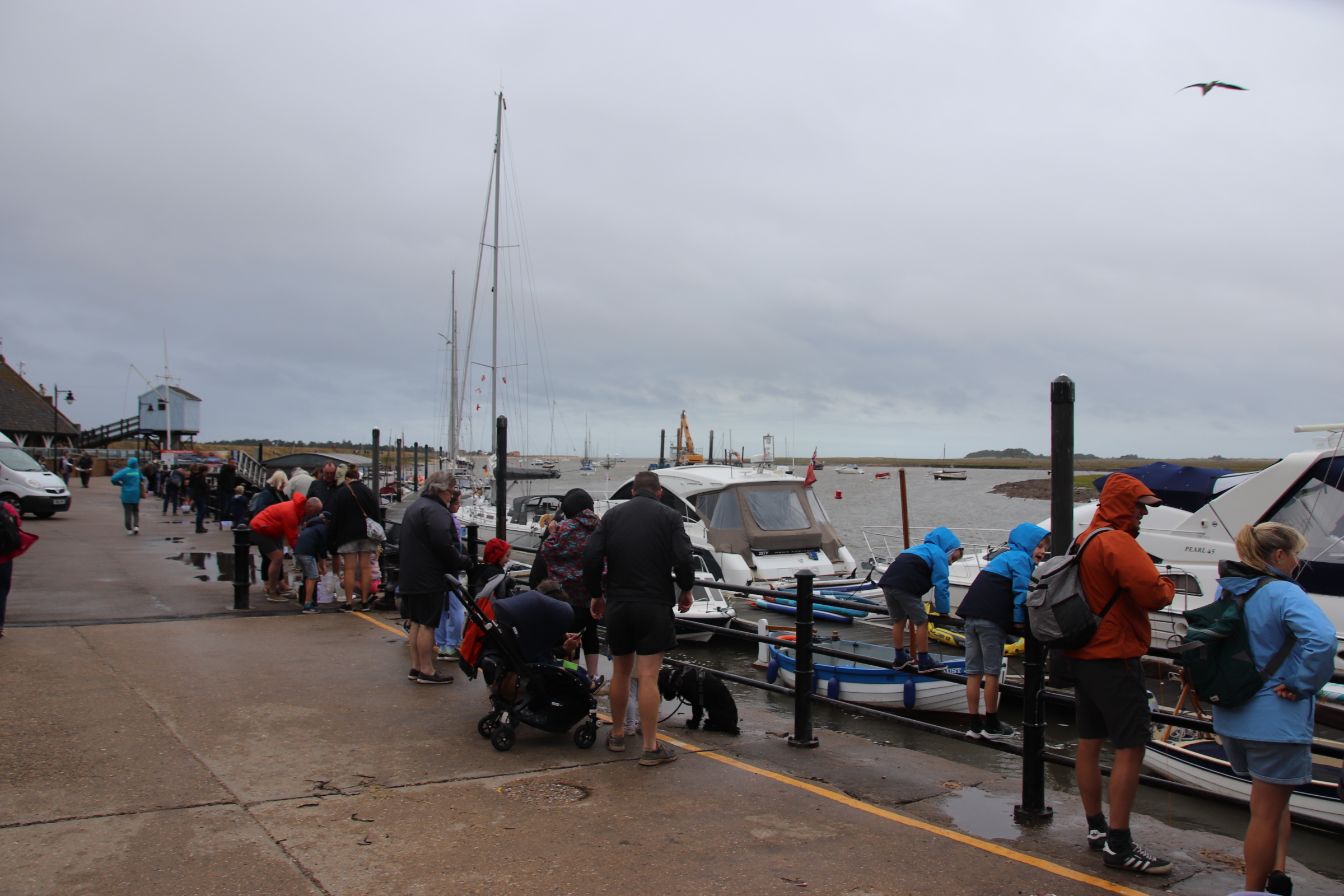
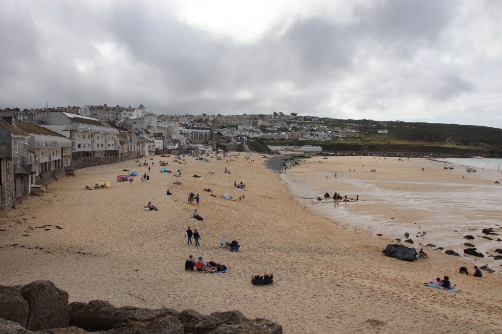
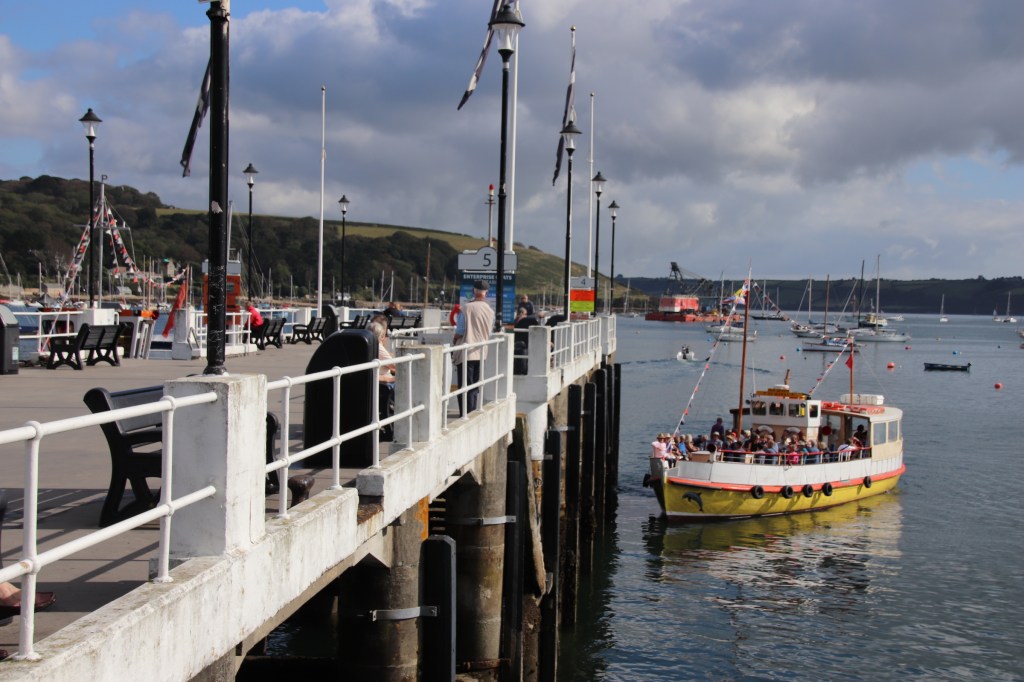
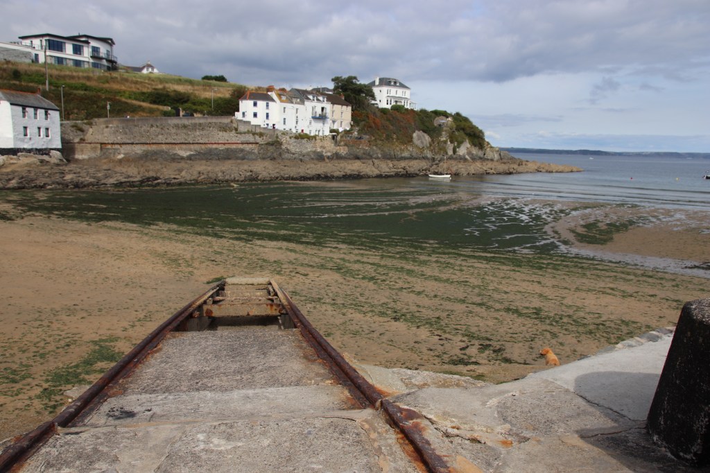
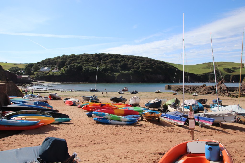
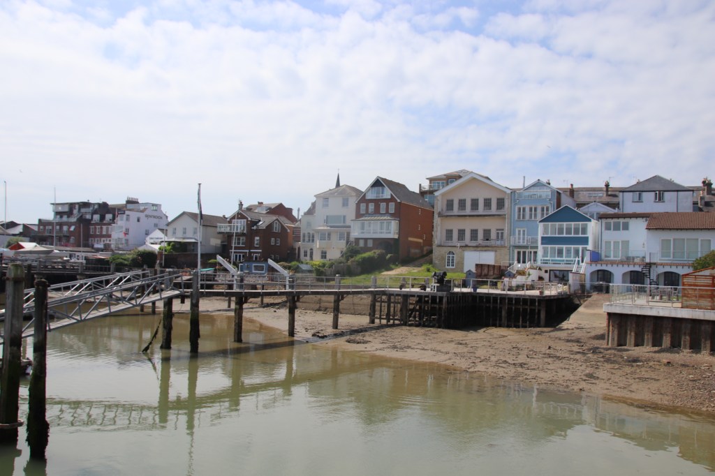
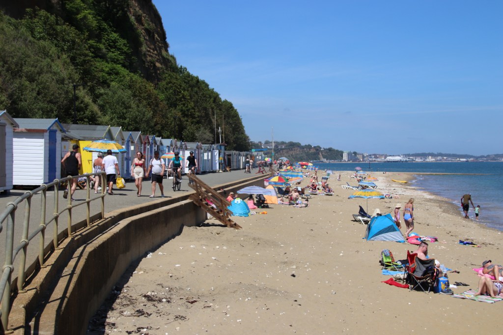
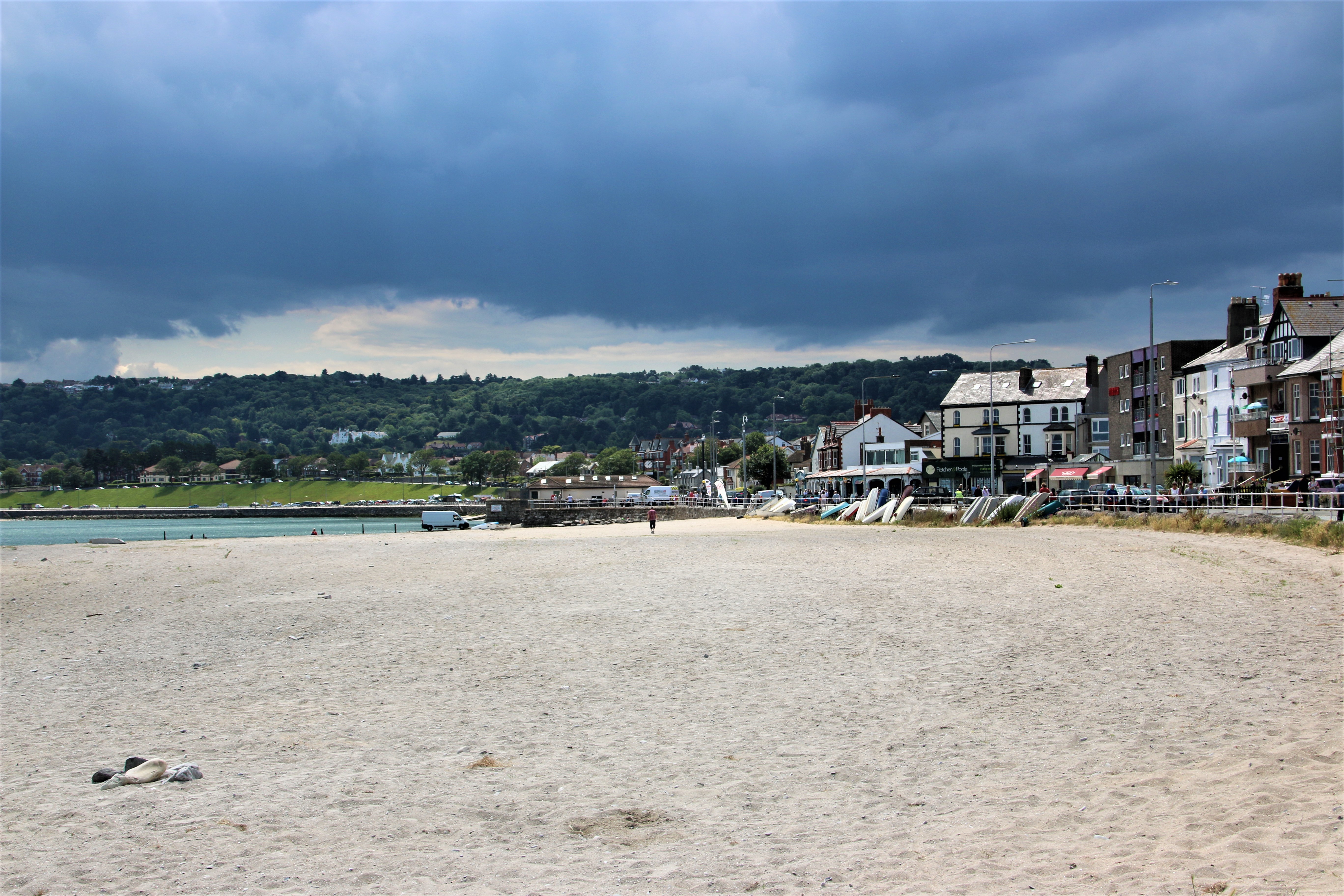
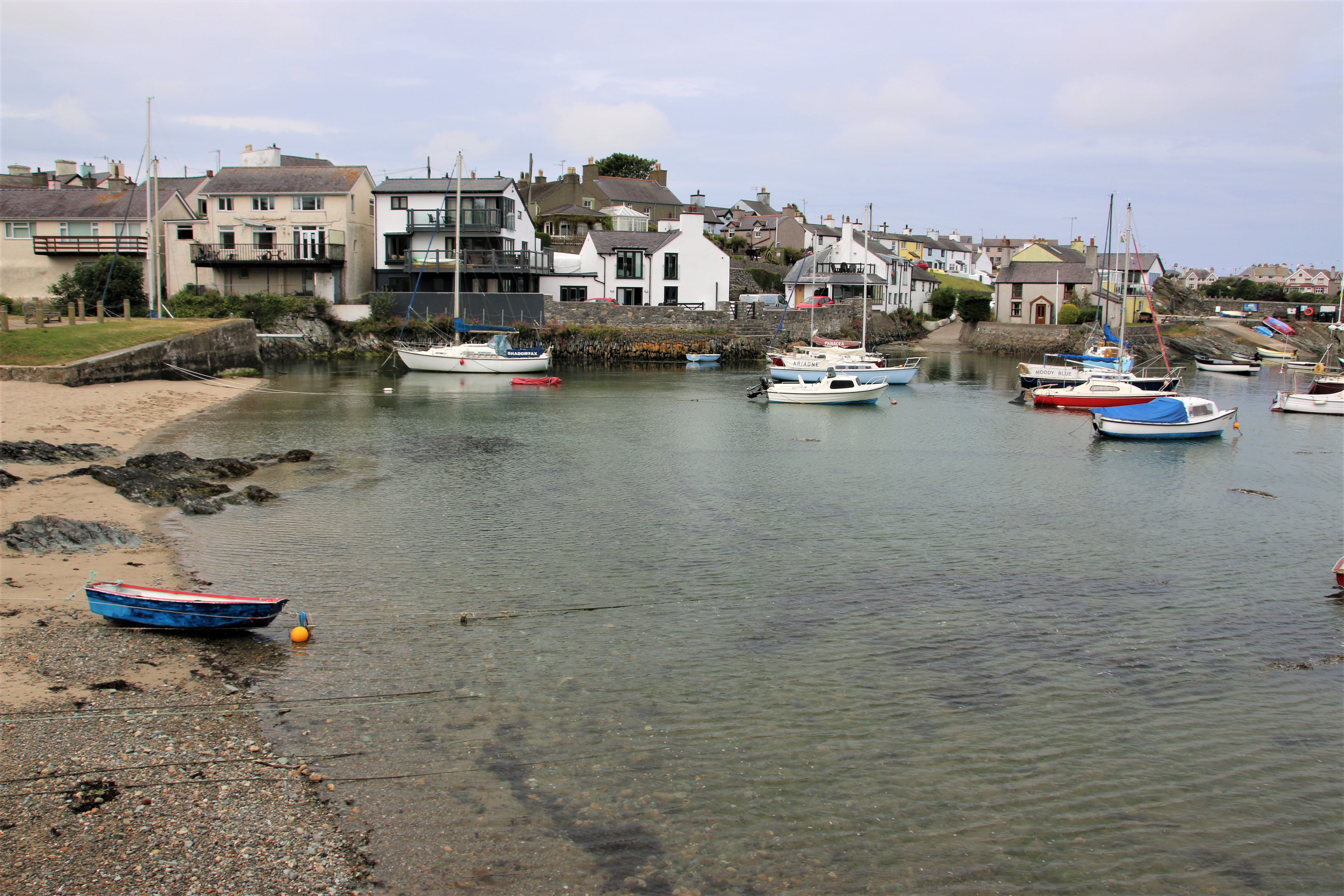
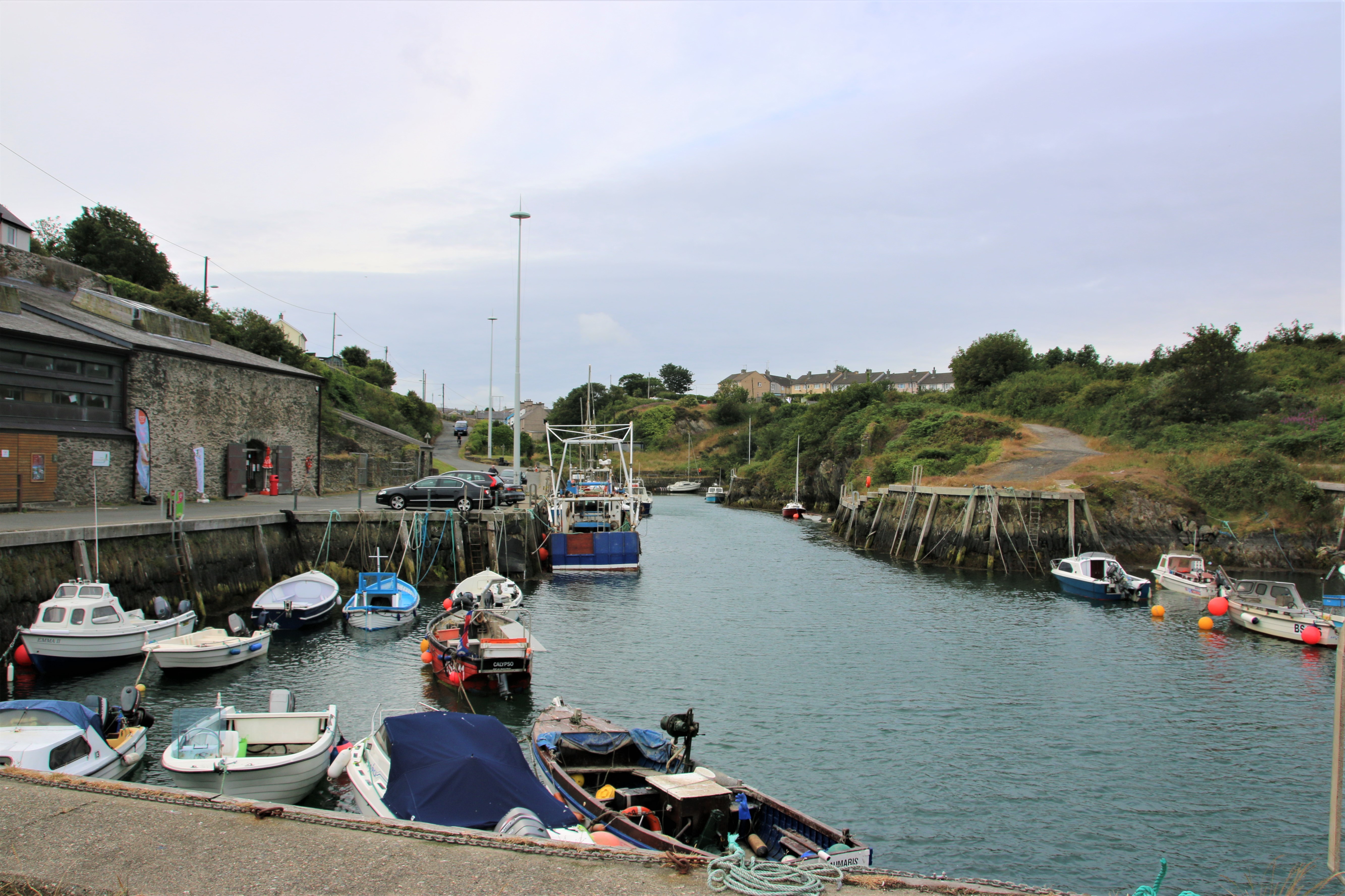
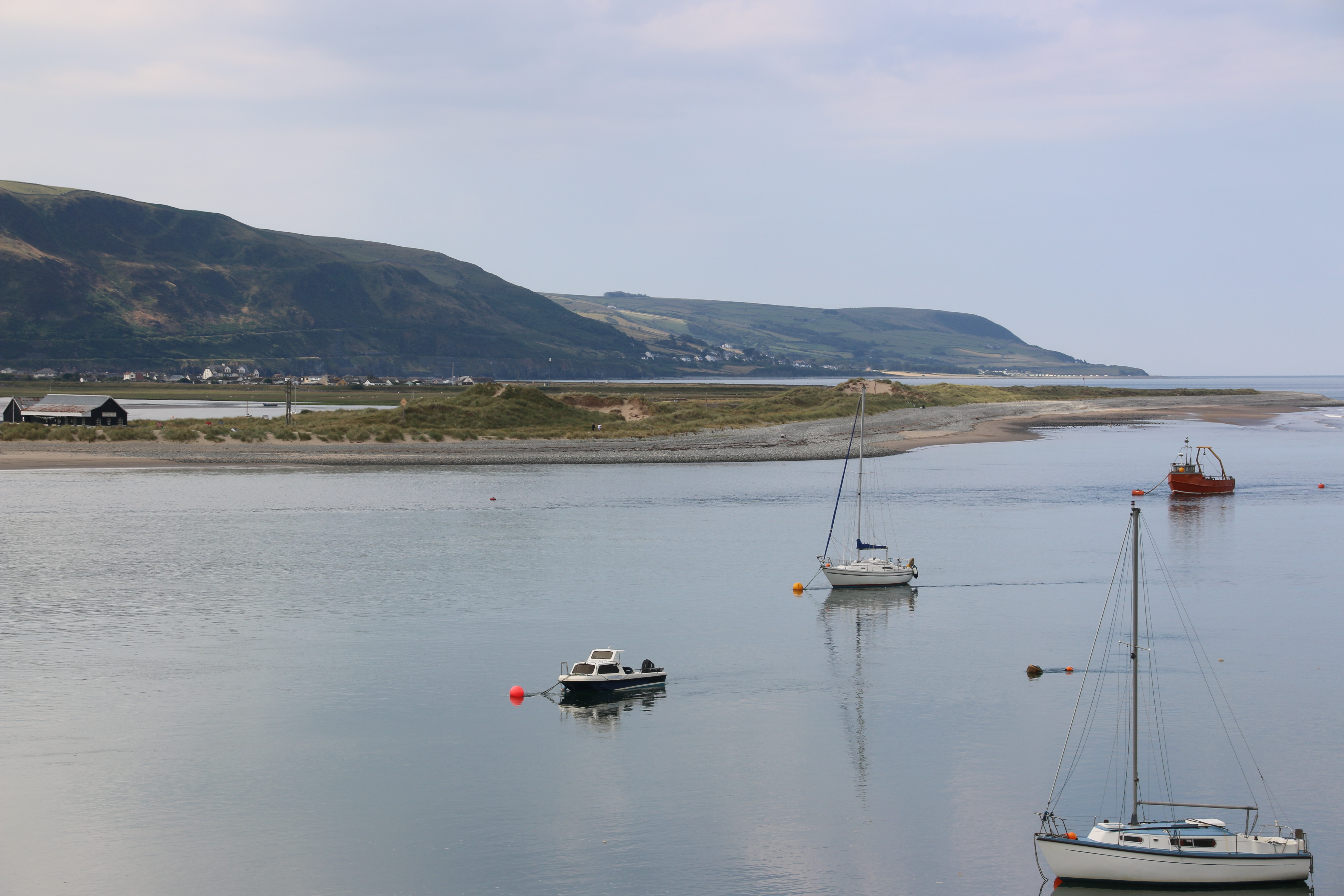
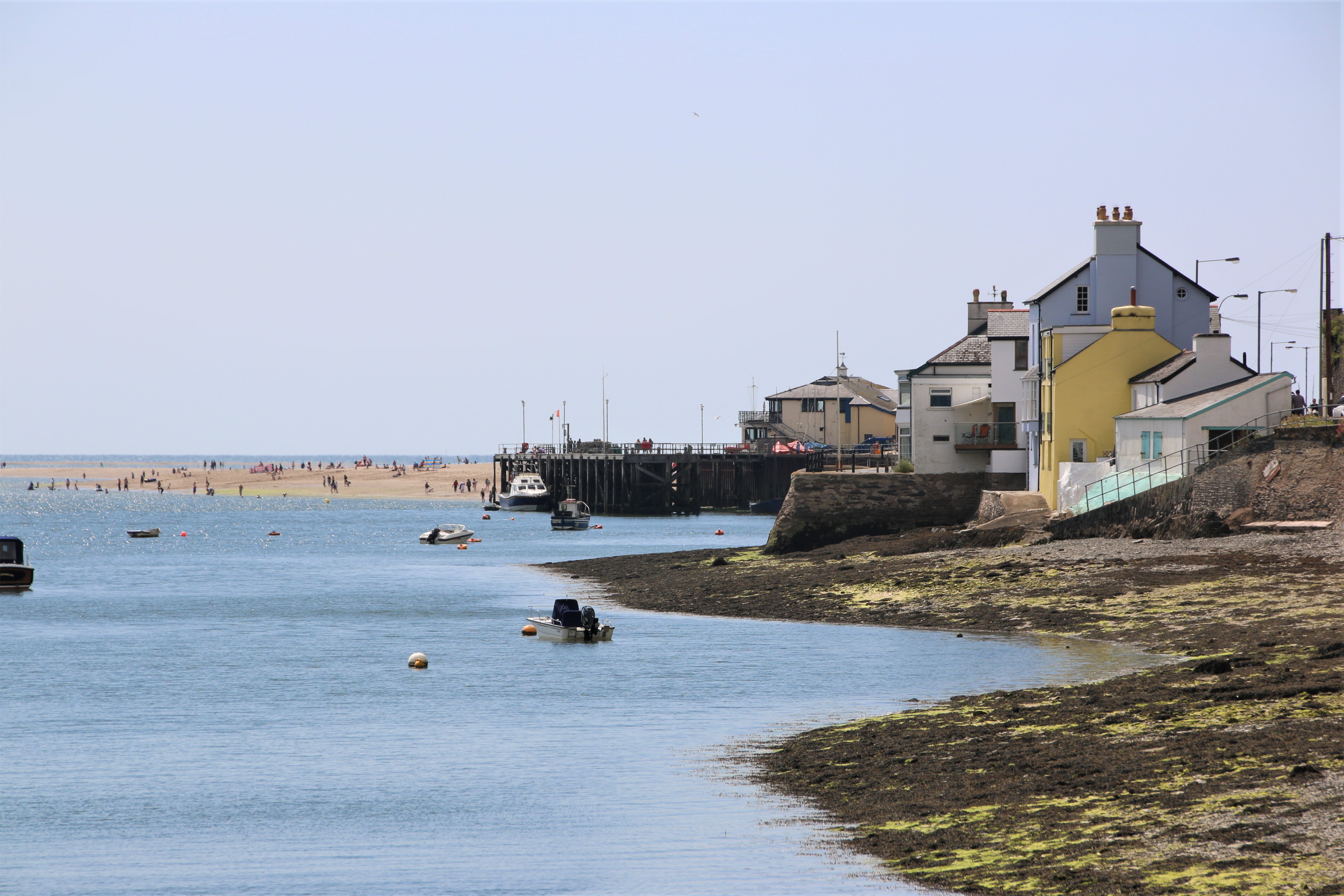
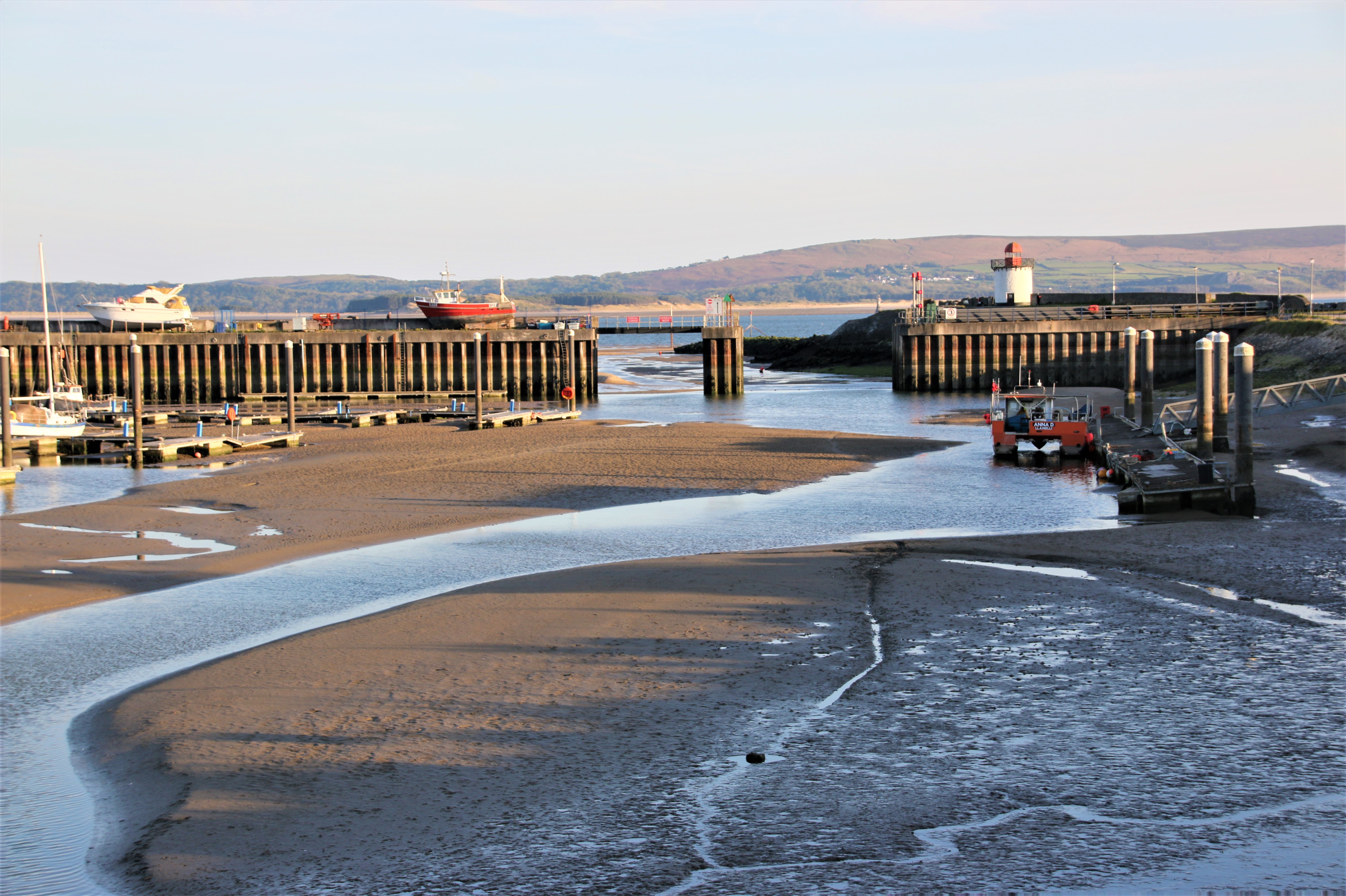
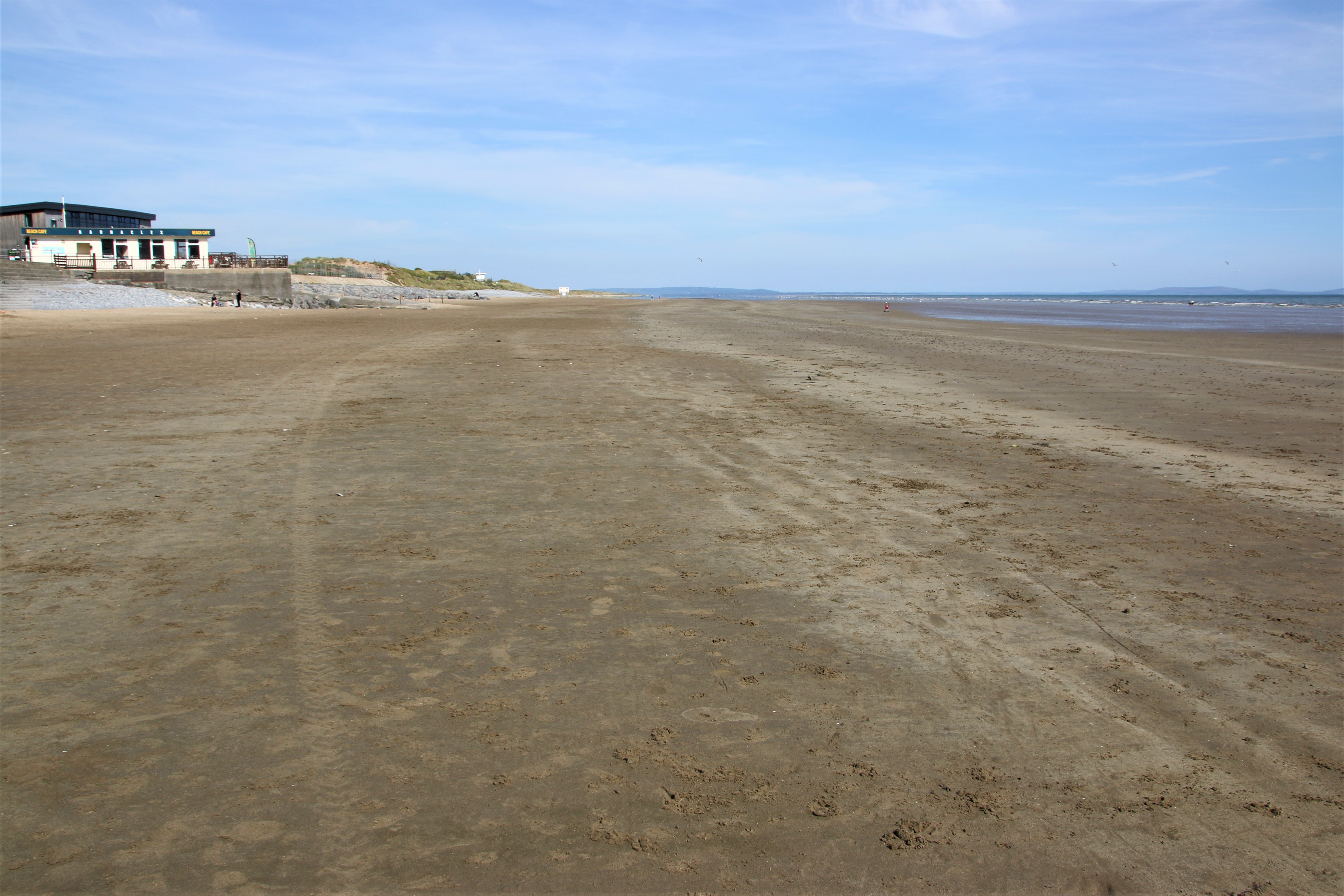
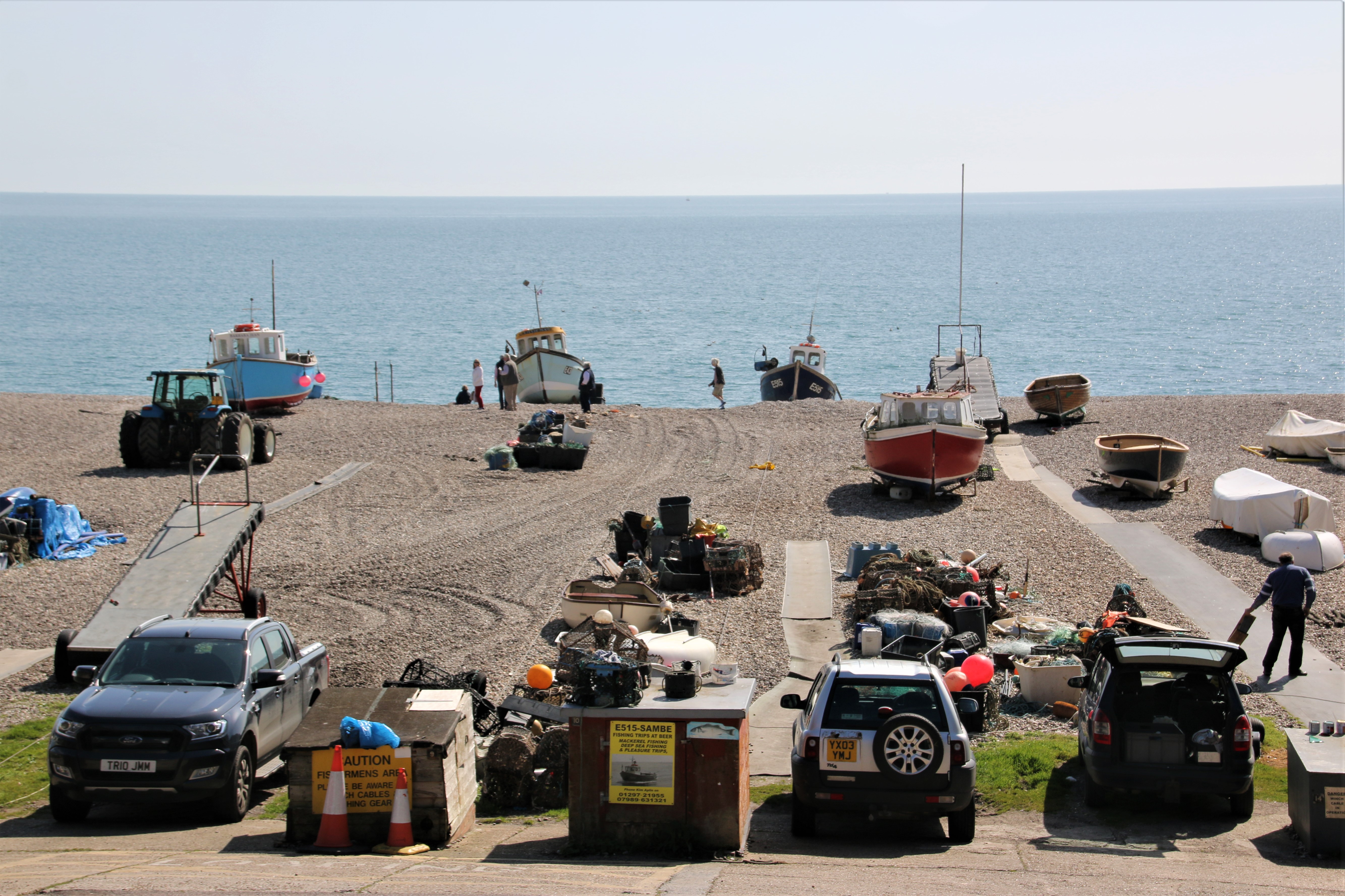
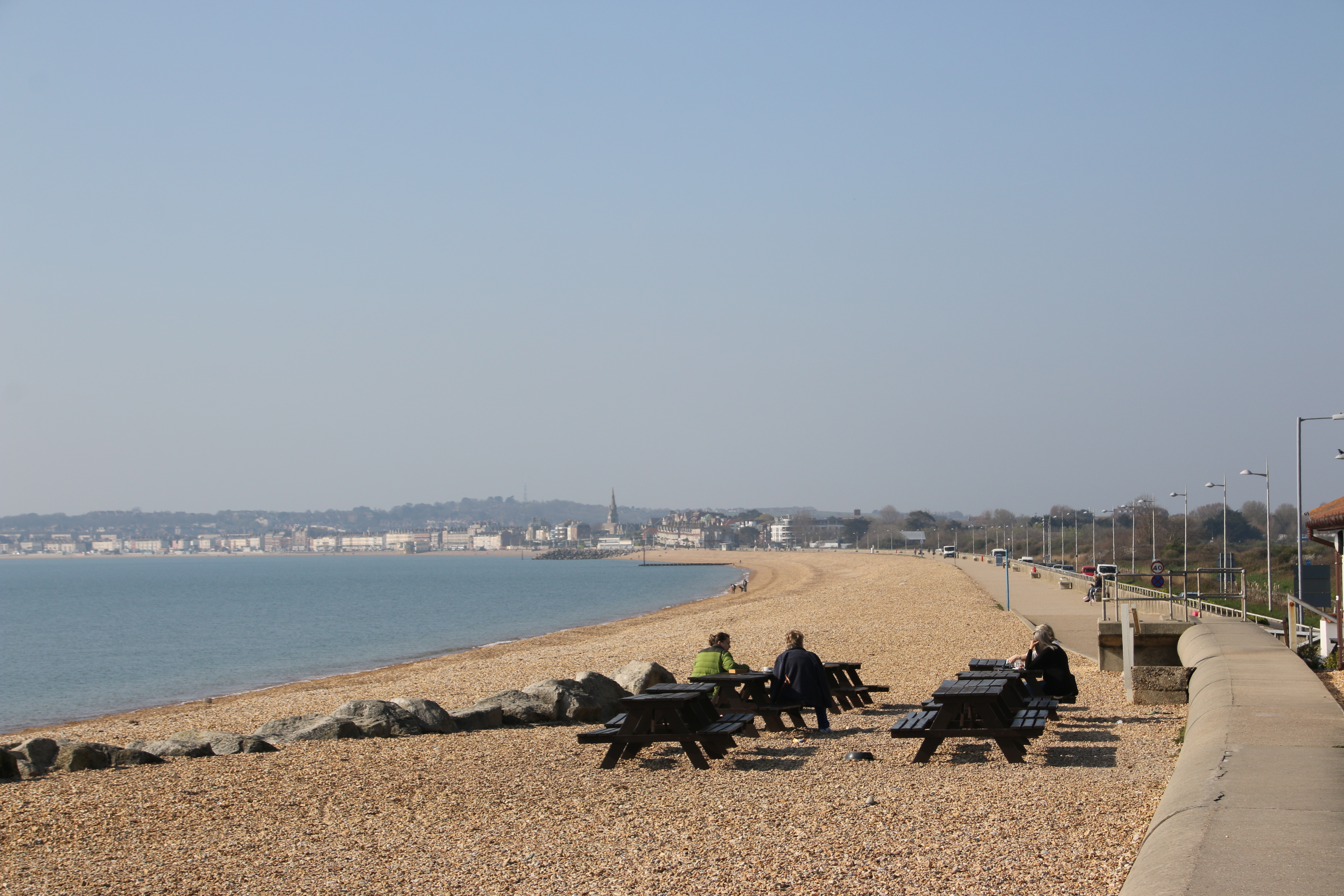
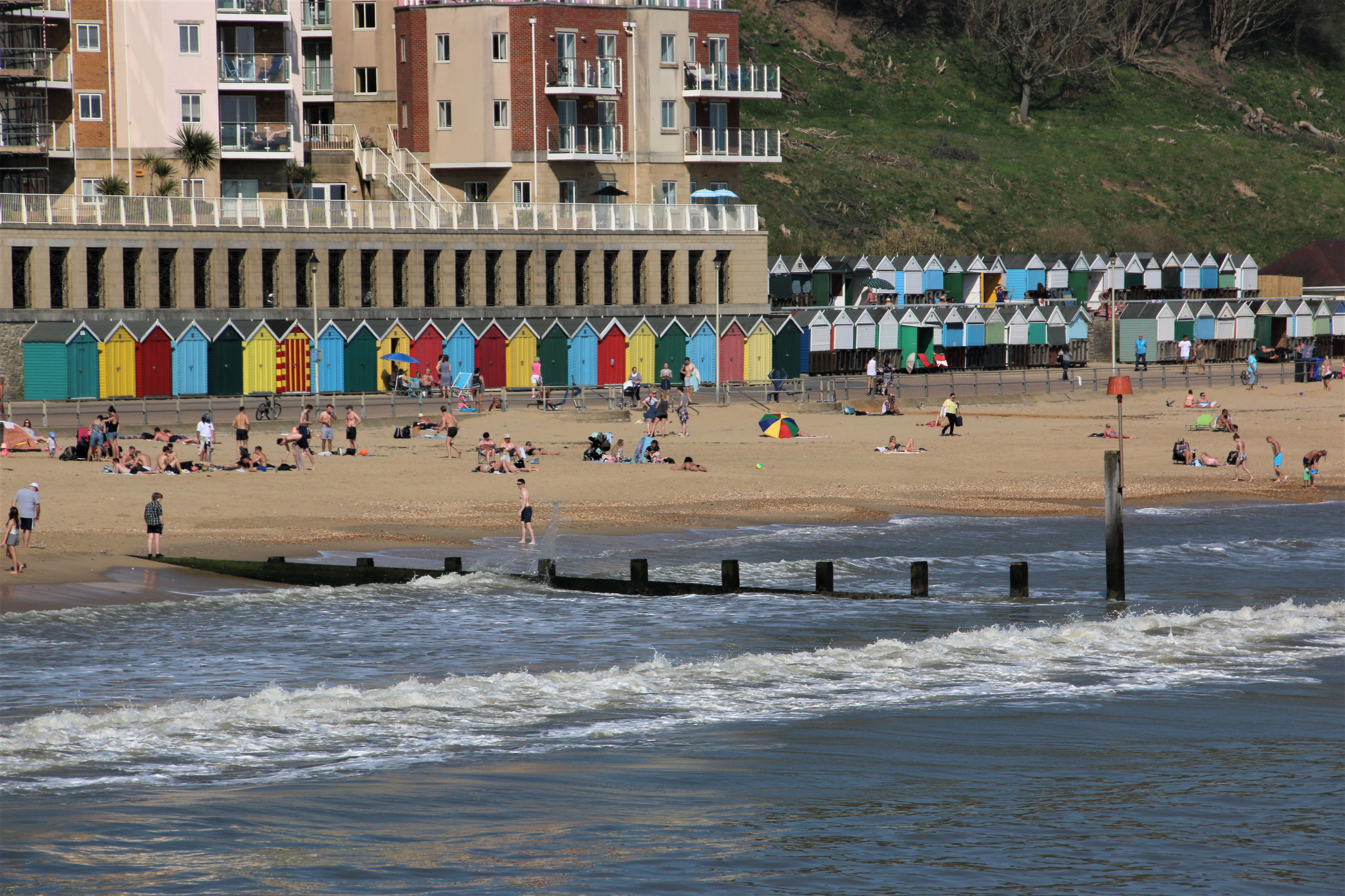
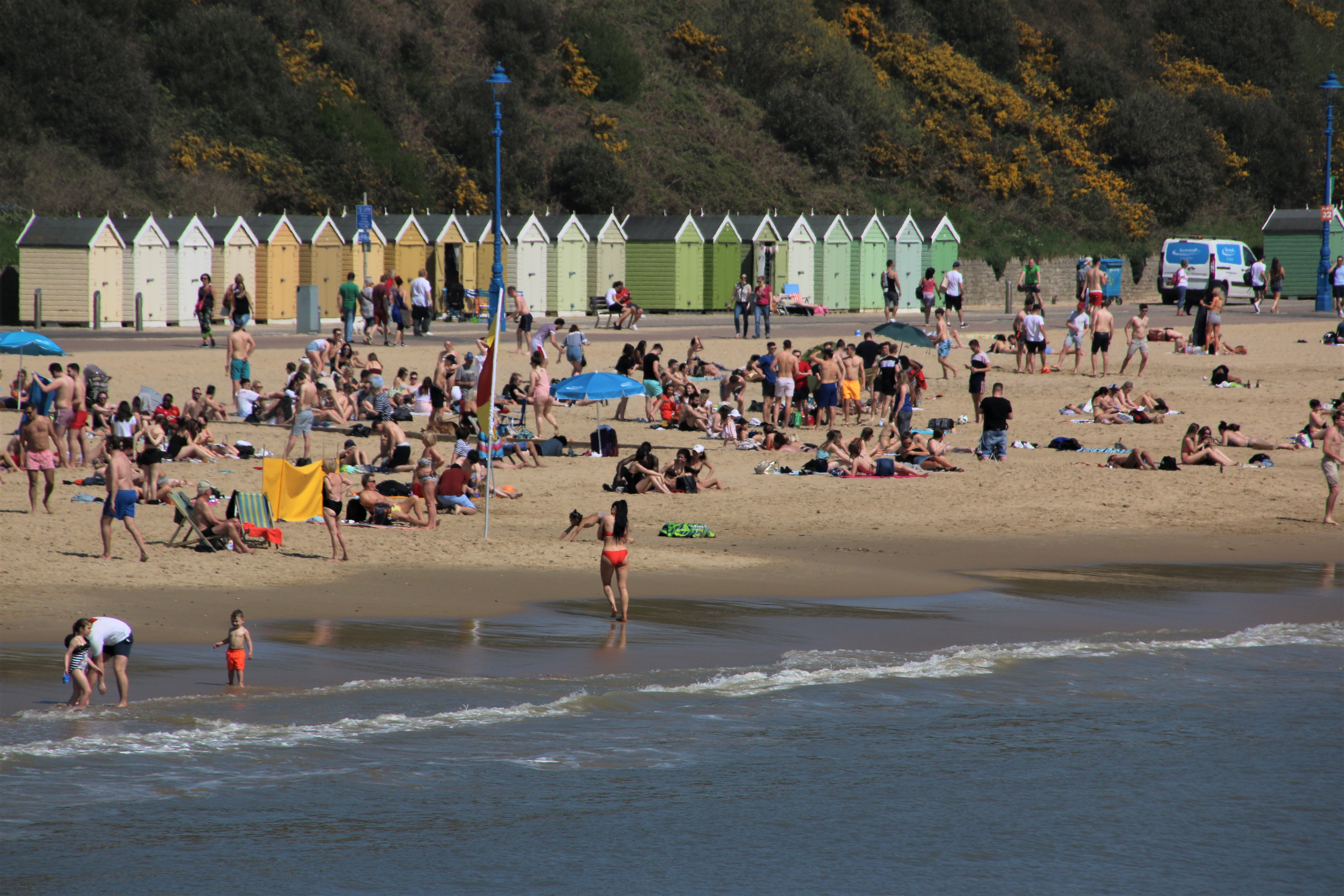
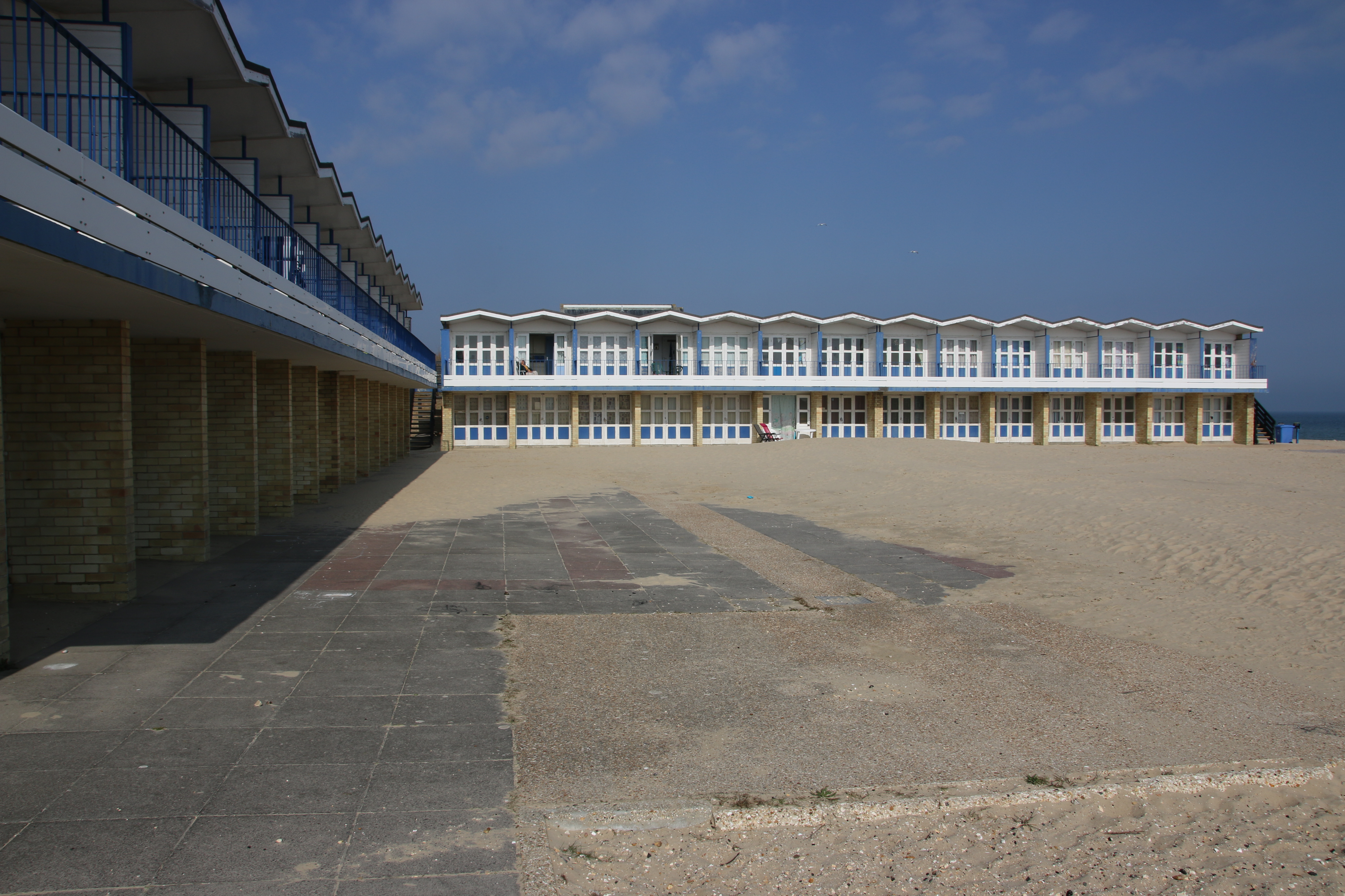
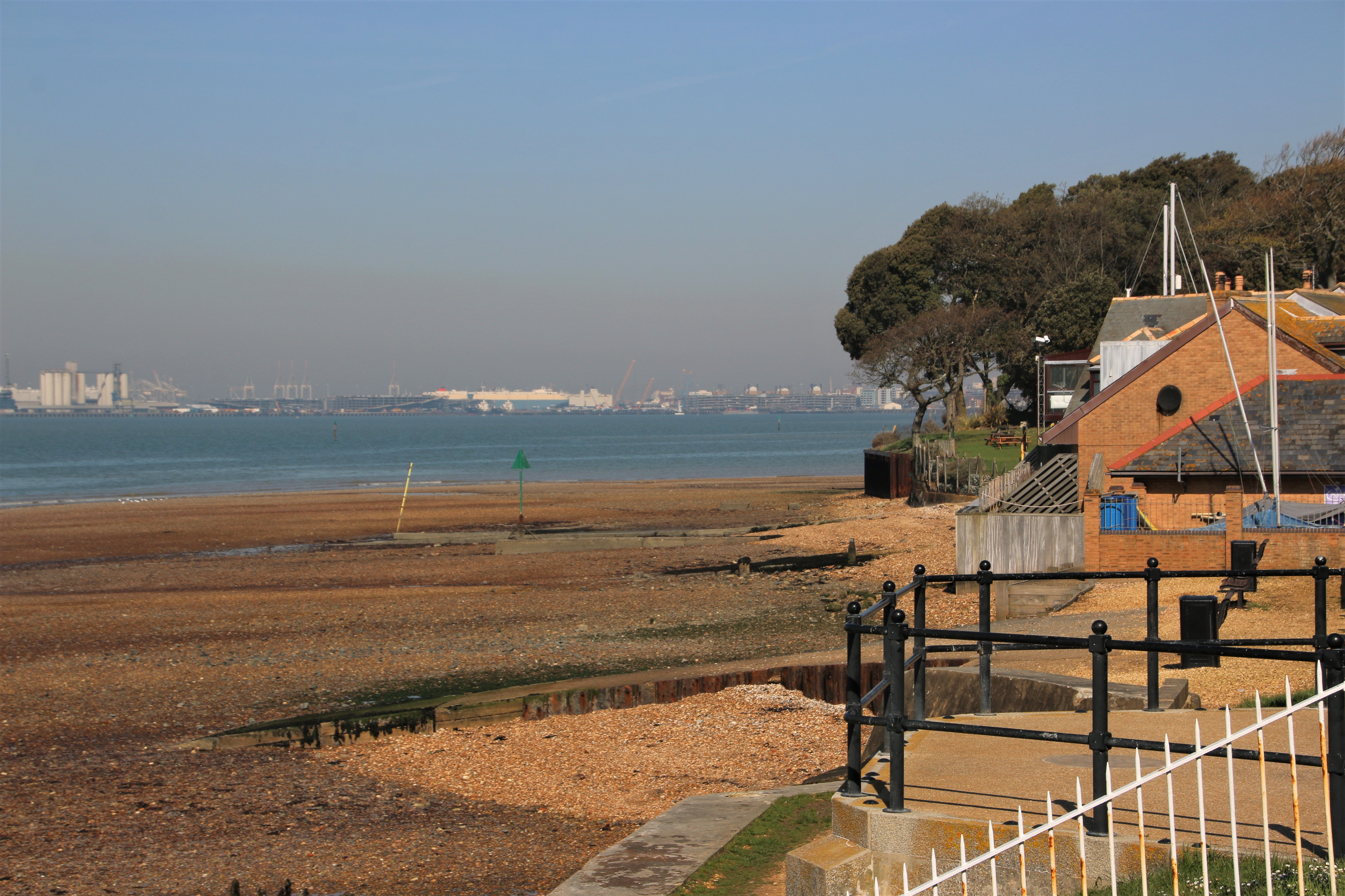
There are several distinctive parts to Barry Island but an island is now not one of them, even though the peninsular still goes by that name. It was an island until the 1880s but it became linked to the mainland as the town expanded and the Barry Docks were constructed in the gap of water between the two. The docks were originally built in 1889 to export coal and although coal is no longer shipped out, the docks still handle a variety of chemicals and goods. Tourism has now become the town’s bread & butter. This took off in 1896 when a rail link connected the two via a 250-metre long causeway. Before that, the only access to the island’s beaches had been either on foot across the sand and mud at low tide, or when the tide was in, by ferry from the shore at the Old Harbour, which is now hardly used as it is no longer dredged and it has become silted up.

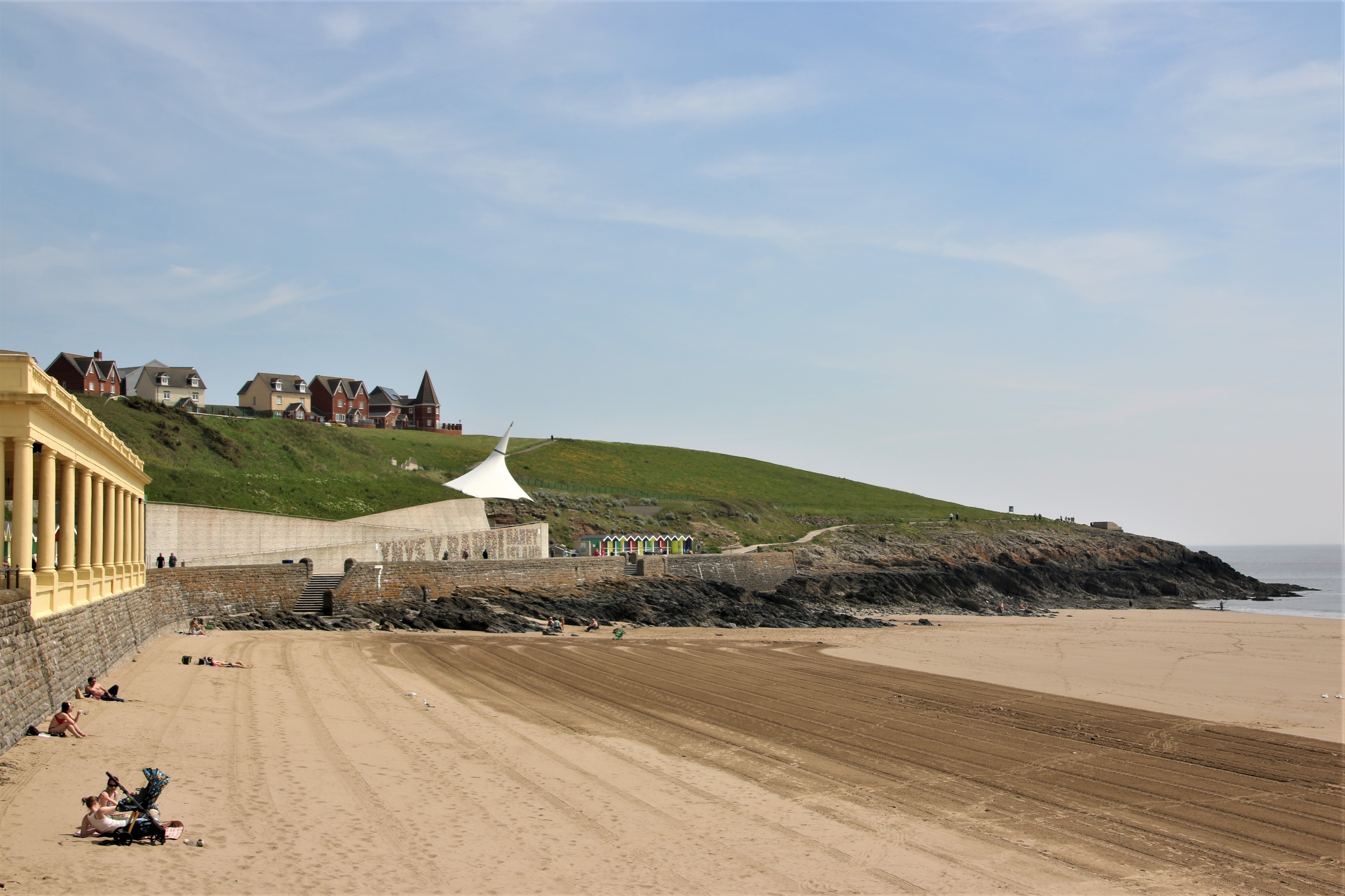
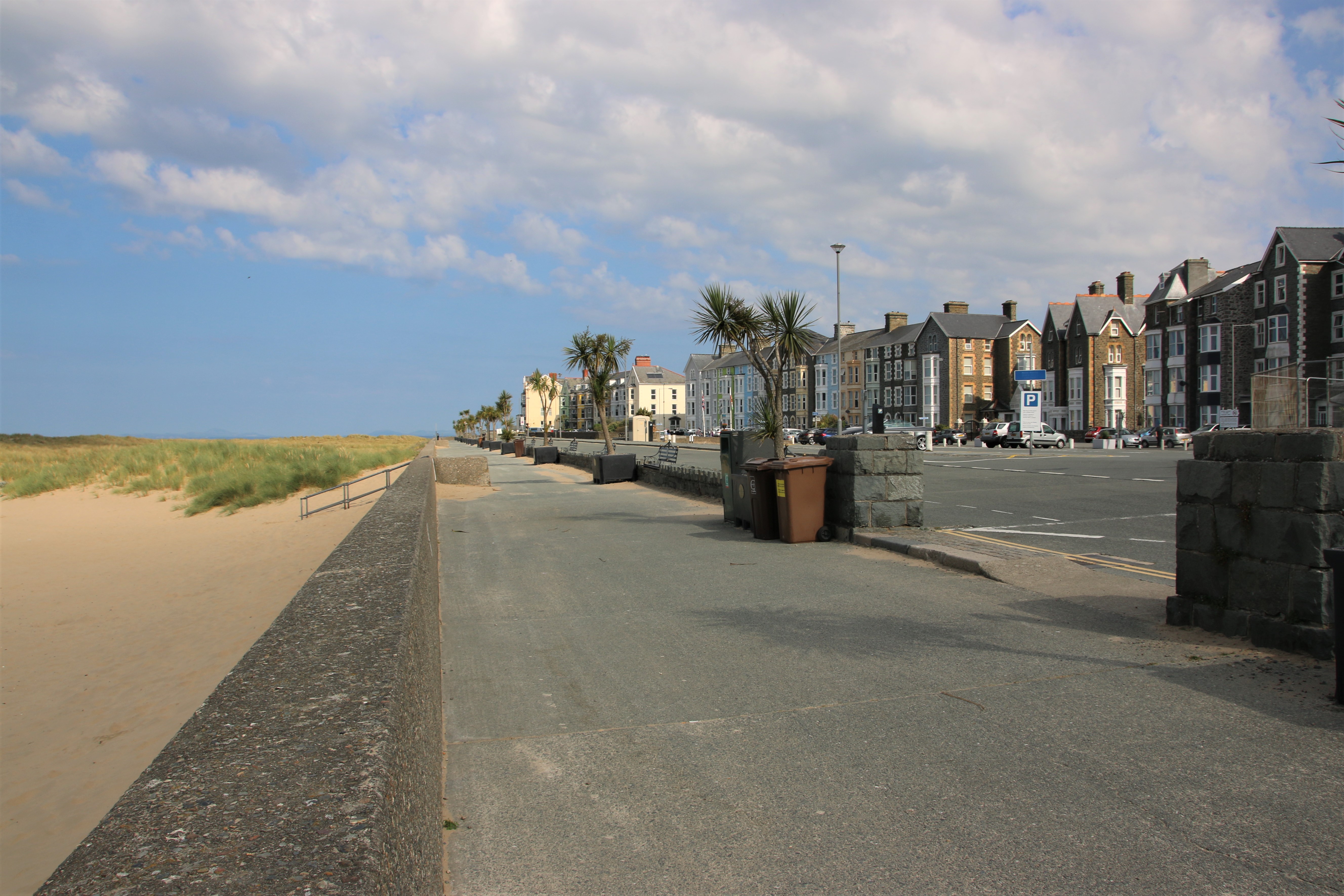
The recently refurbished seafront offers a sweeping promenade along the entire length of the beach, against a backdrop of cafés and restaurants, a climbing wall, mist feature, adventure golf and landscaped gardens. Amusements and rides can be found in the Pleasure Park.
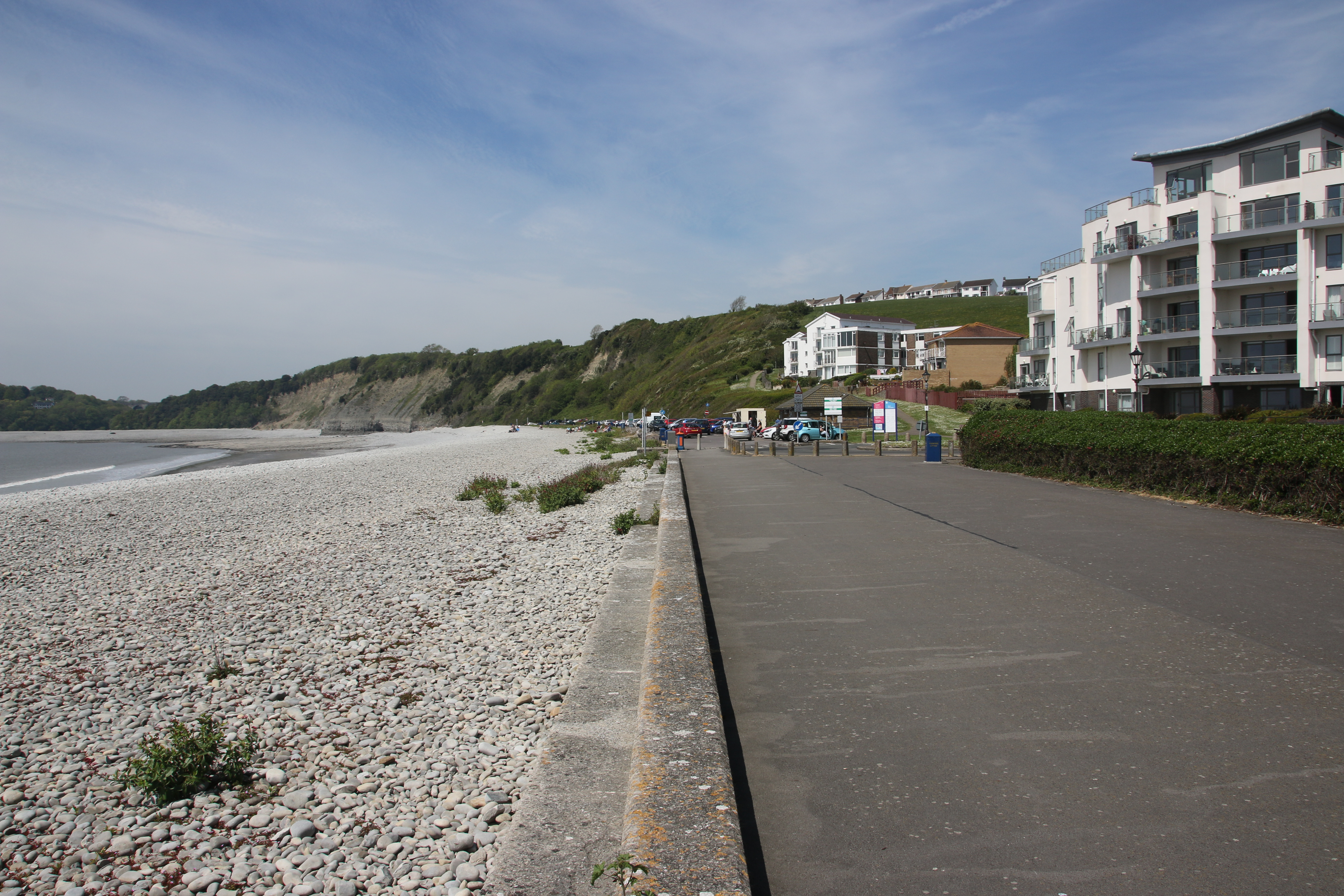
Cold Knap

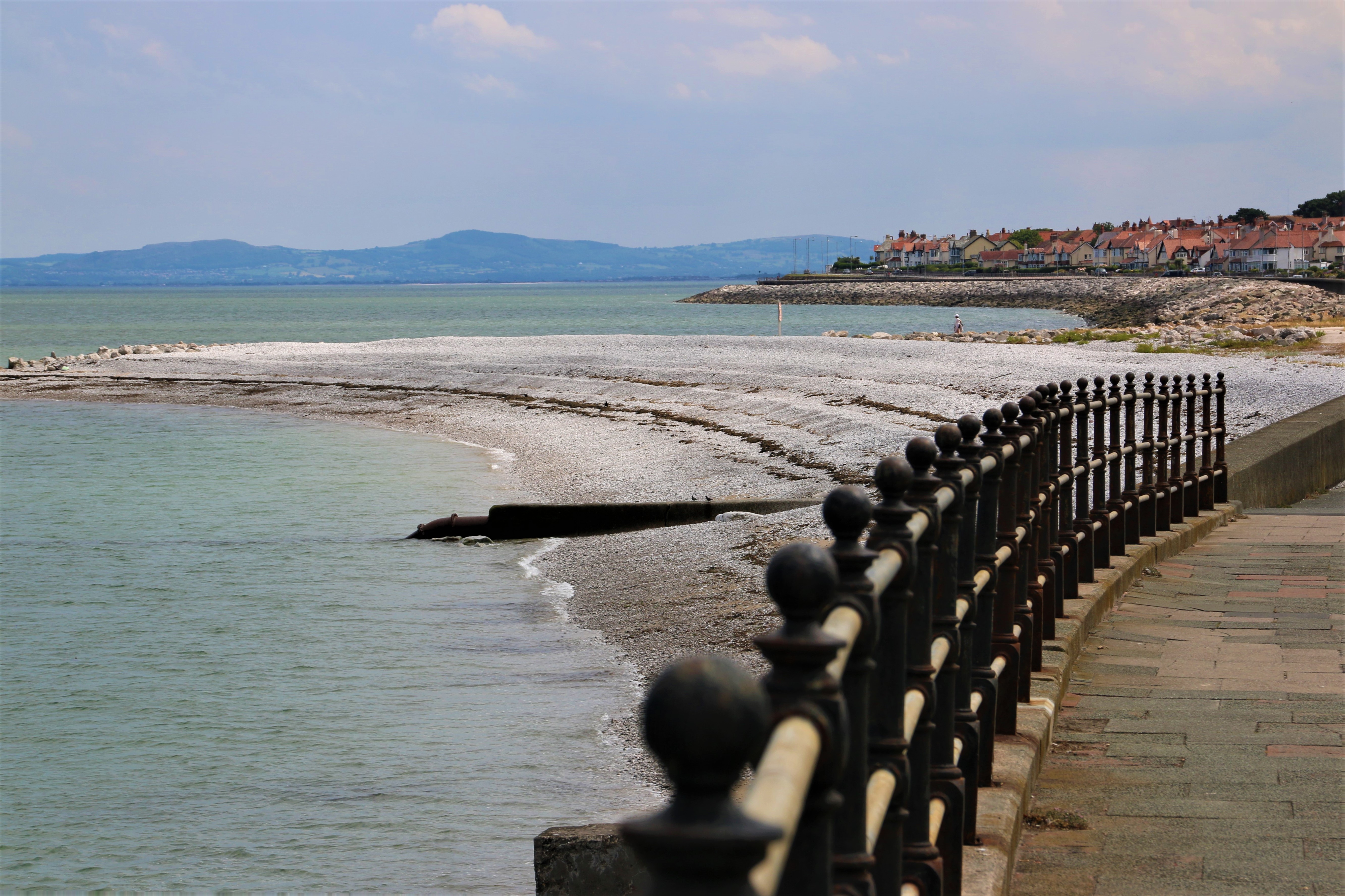
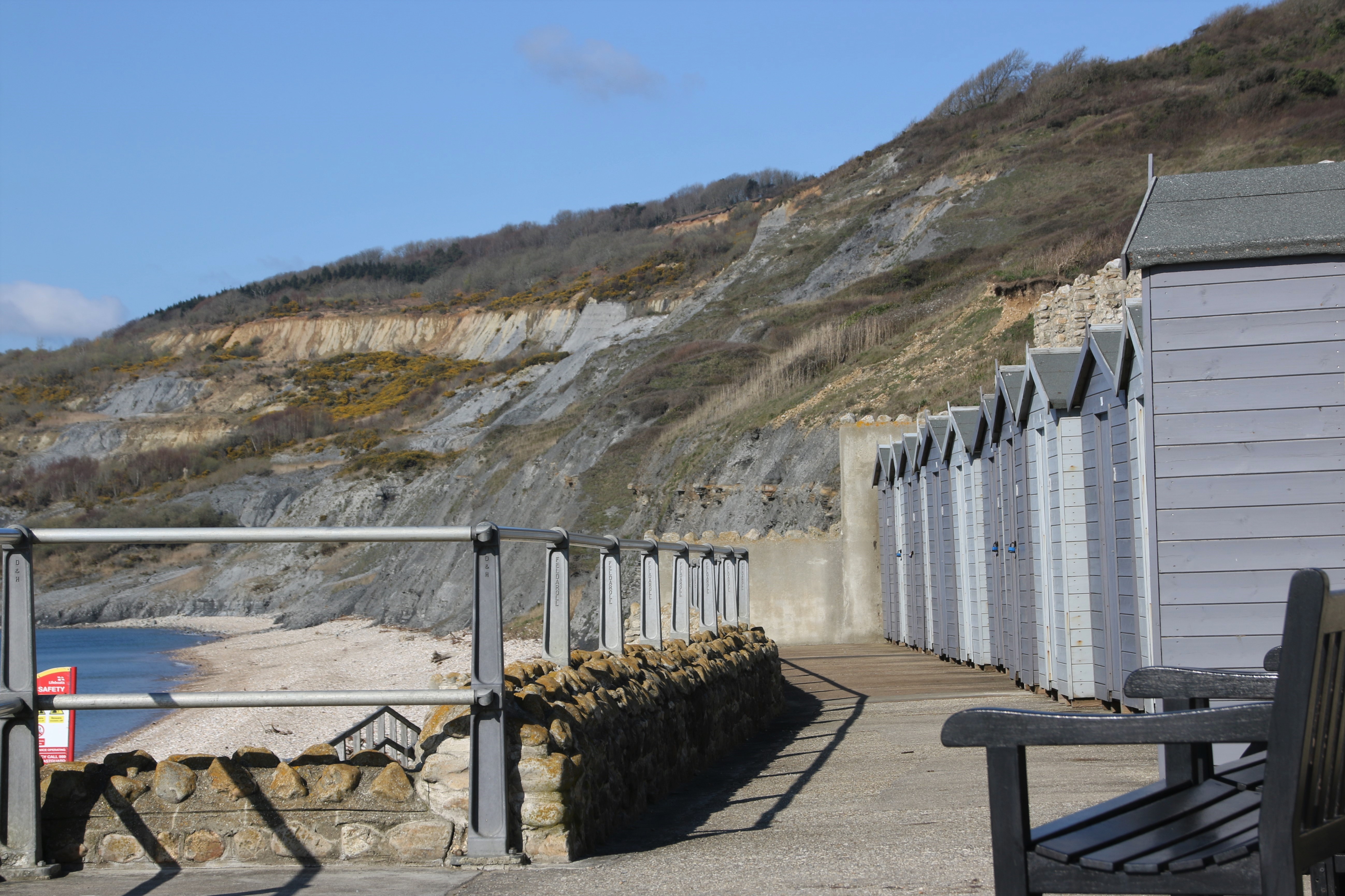
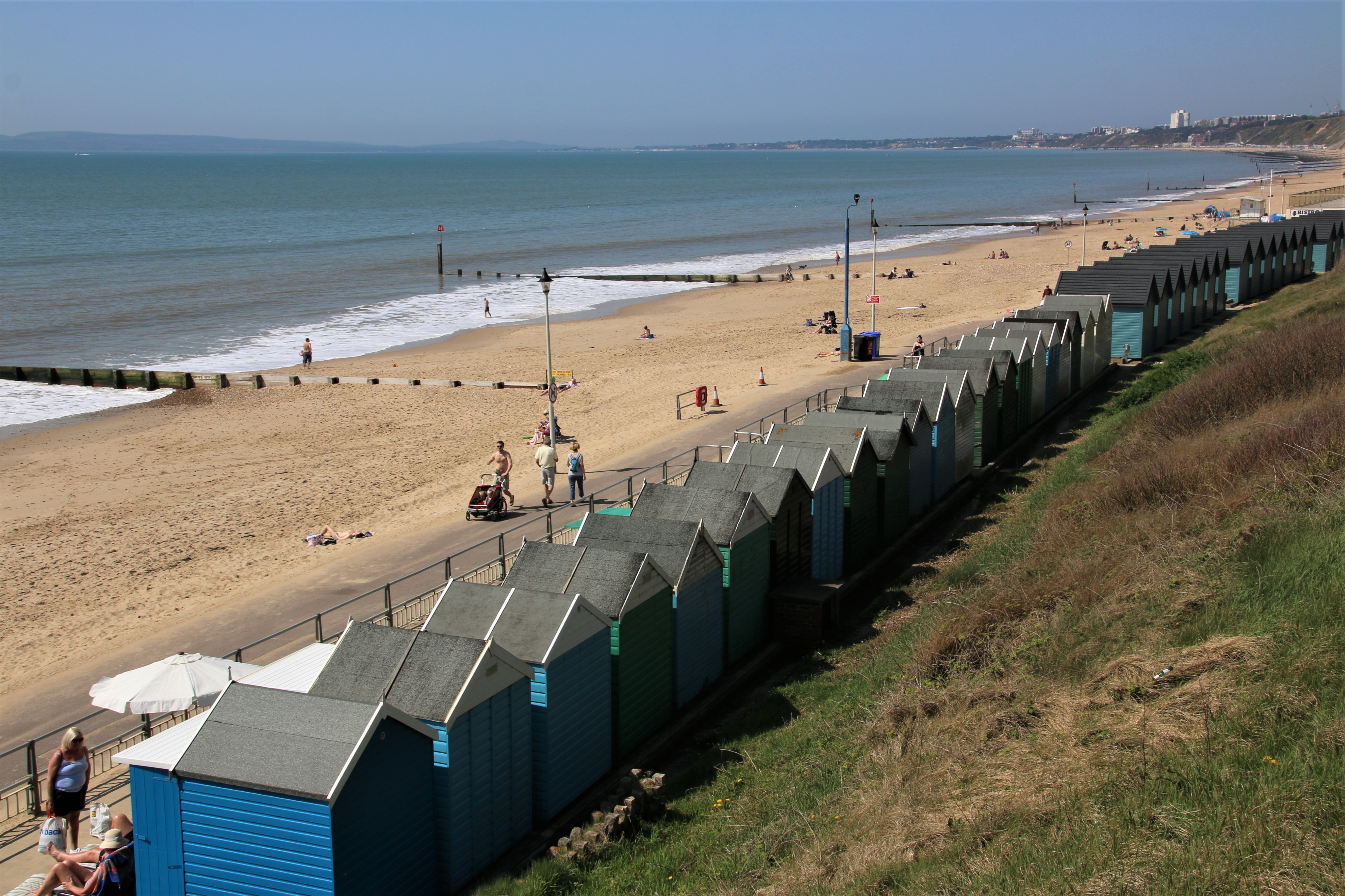
The Knap marks the edge of  Barry a strip of pebbled beach squashed in by apartment blocks, cliffs and a large park with a boating lake in the shape of a harp. It also has a line of parking spaces right by the shore. When I was there, a van was doing a brisk trade in teas, bacon sarnies and ice creams. Along the promenade at Cold Knap Point, there used to be an outdoor swimming pool. Despite a campaign to reopen the Knap Lido, it was filled in and turned into a tourist trail. The Romans used the spot as a port and the remains of Roman buildings are now scheduled as a monument.
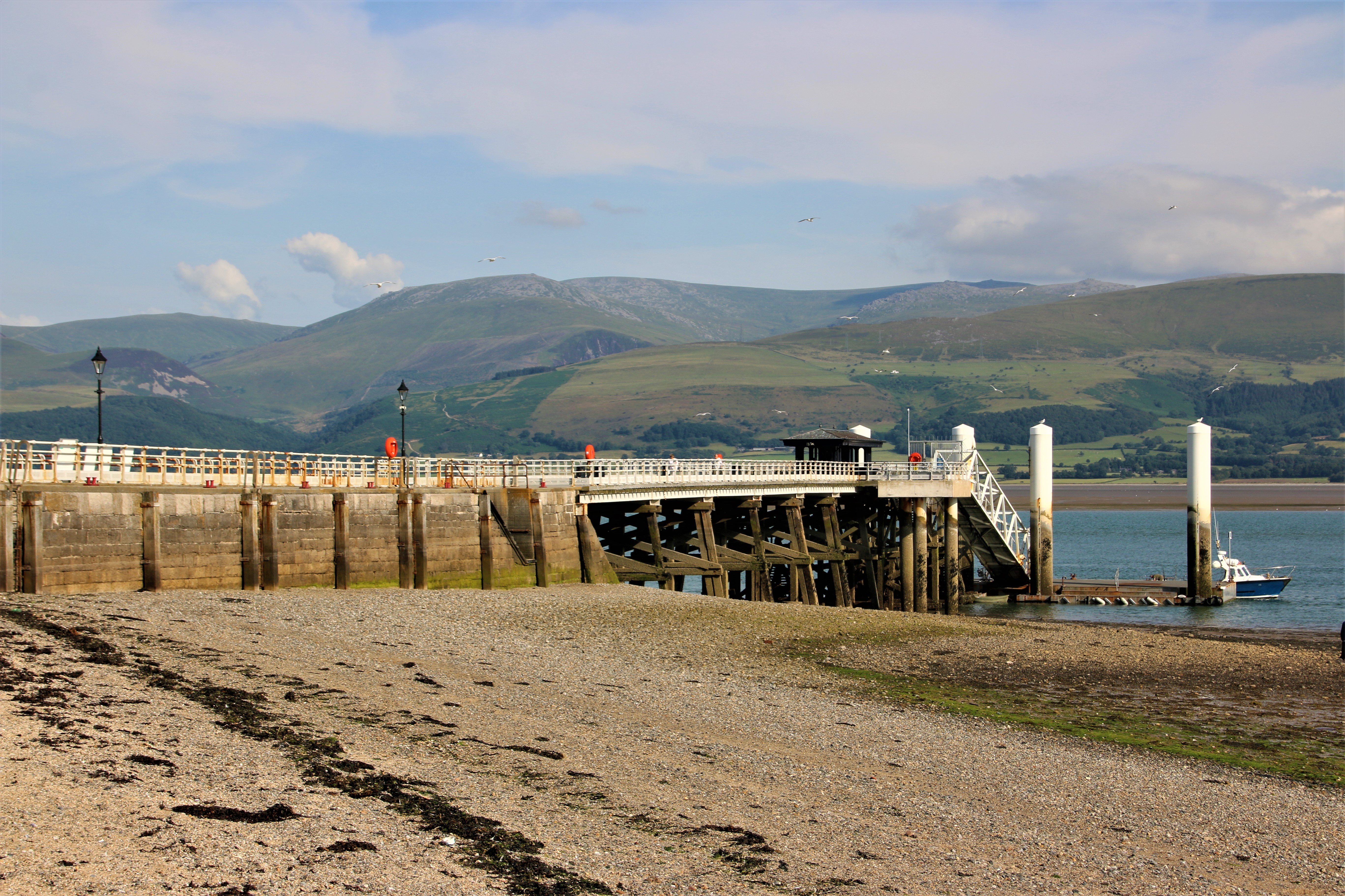
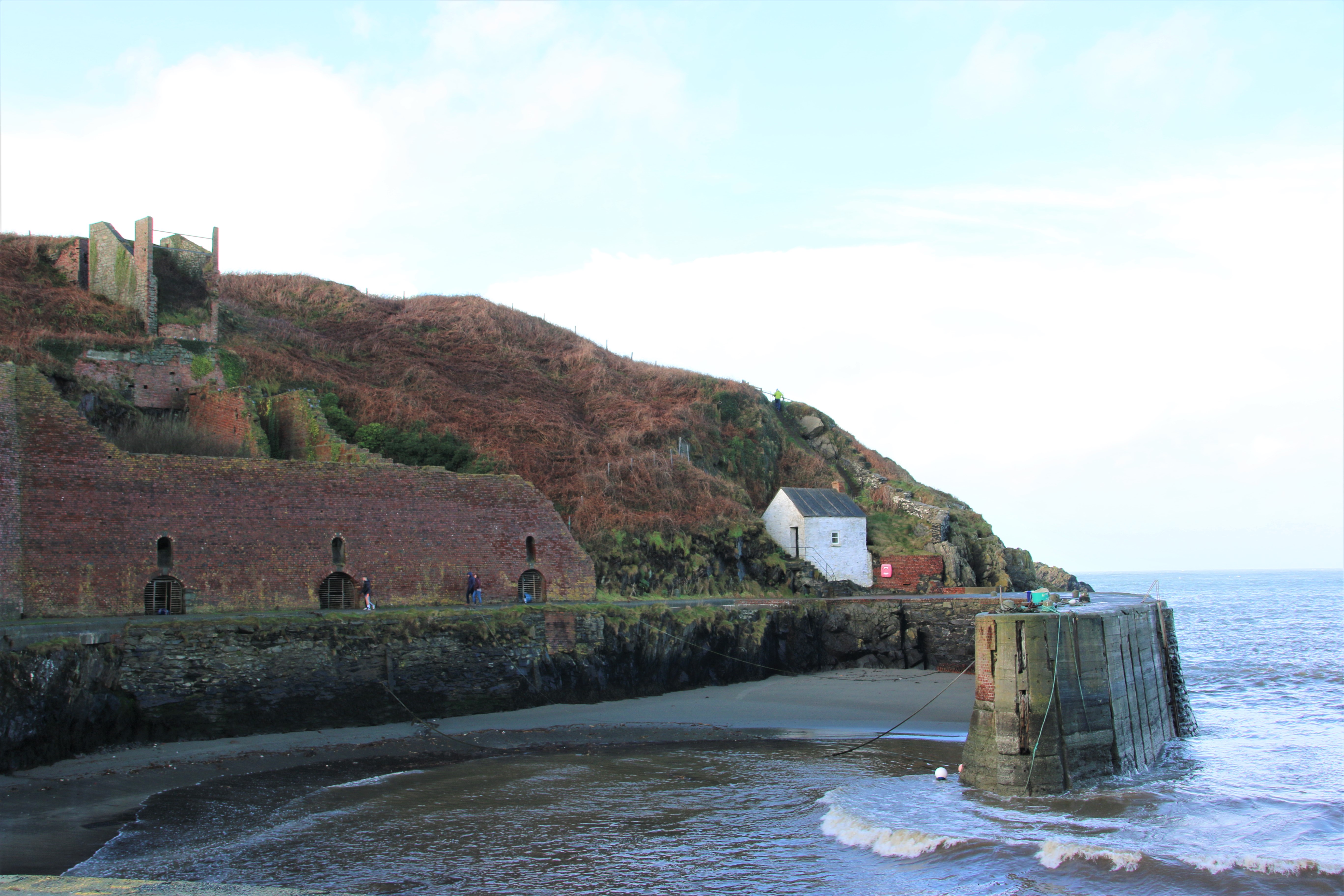
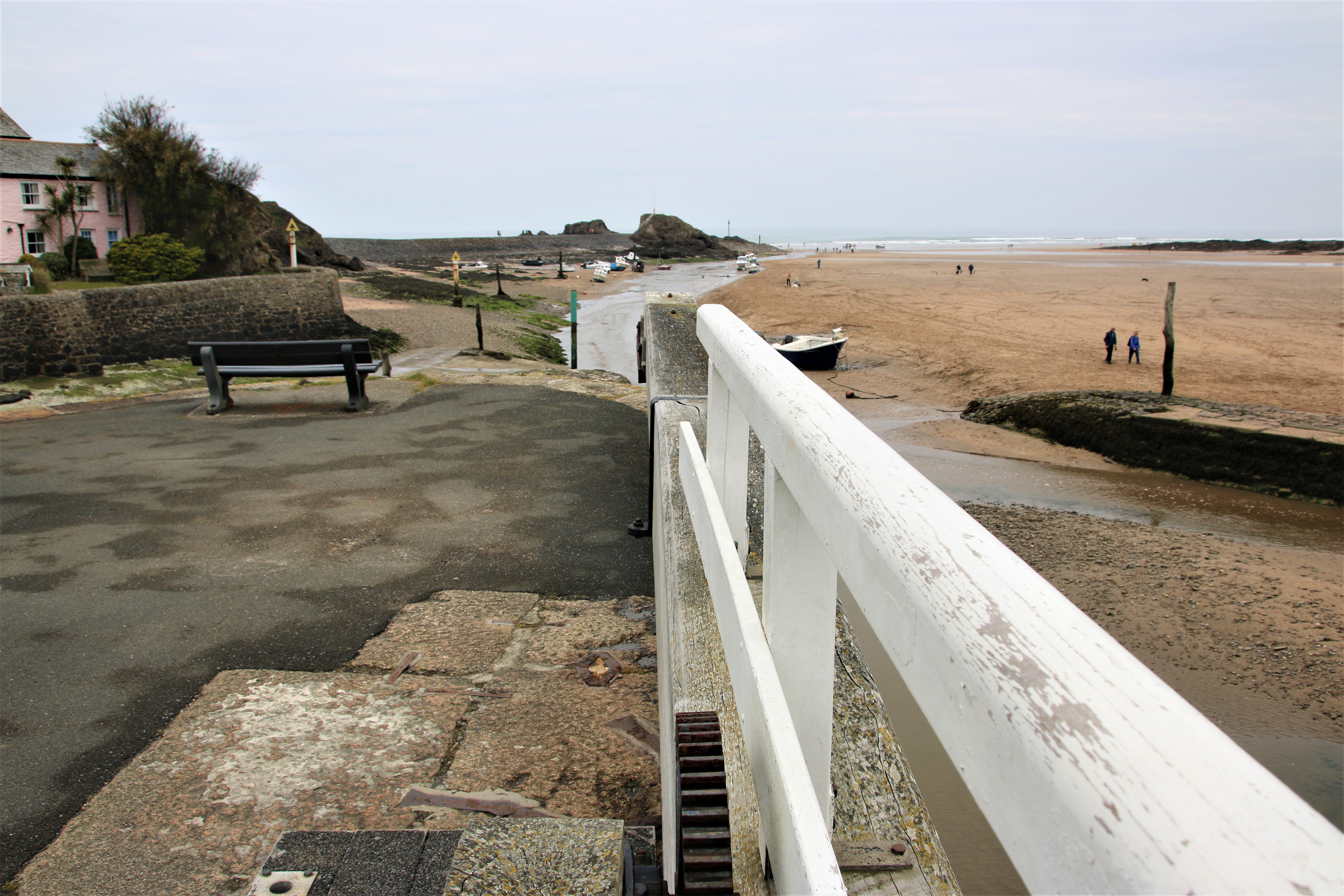
Aberthaw

In the 16th century, the port of Aberthaw, was a small but thriving harbour. By the 1840s, it had declined as a port but the cement works and the lime works till operated near the shore. At that time the River Thaw was diverted and the old port effectively disappeared. In 1963, the ‘A’ Power Station opened, followed by the “B” station in 1971. The former was demolished in 1998 and the latter closed in 2019.
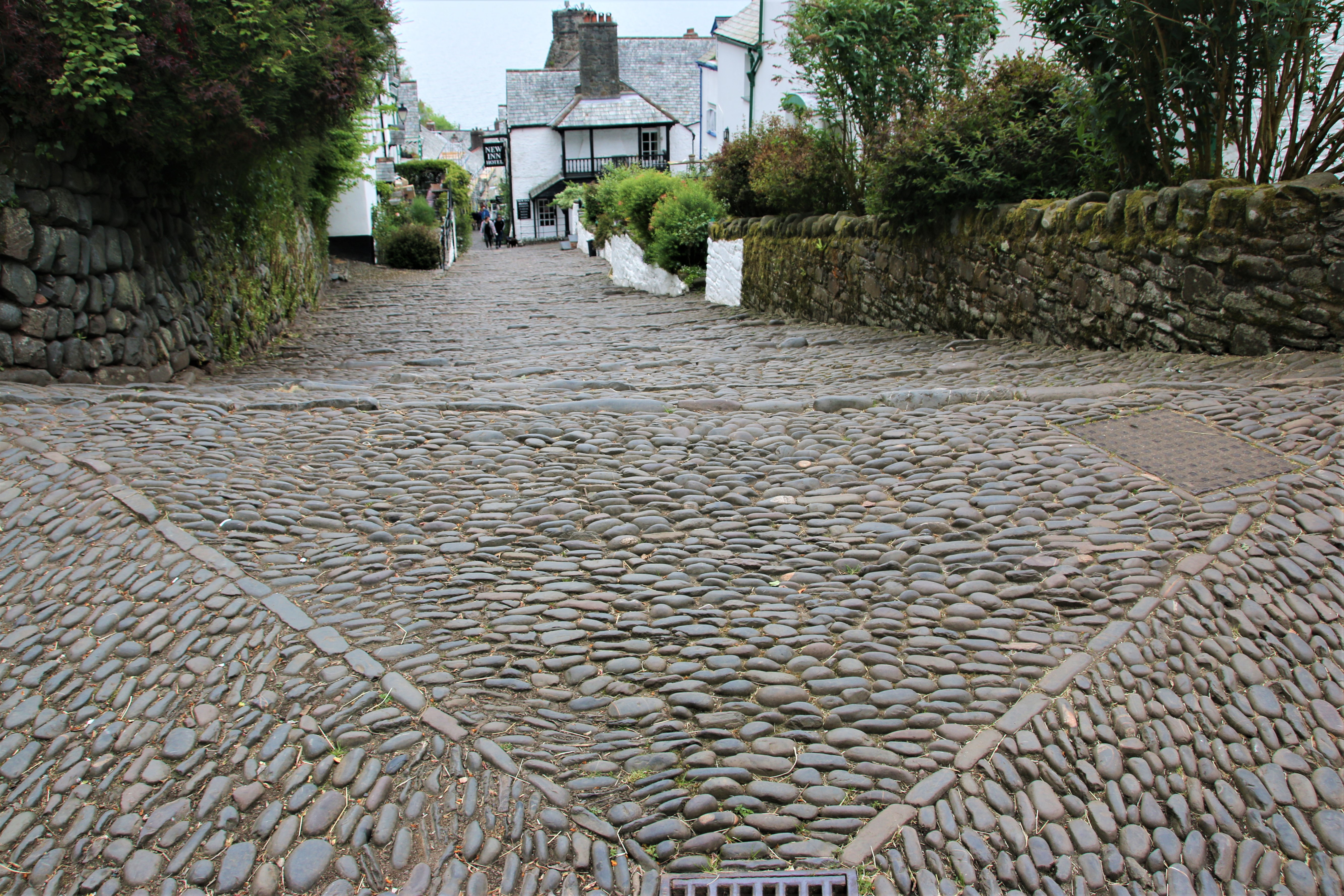
Llantwit Major

Its medieval streets exudes history with shops, cafes and inns dating from the 12th century. The beach of large pebbles and cubed boulders is close by, a gentle walk along the banks of a gurgling stream. Excellent café here.
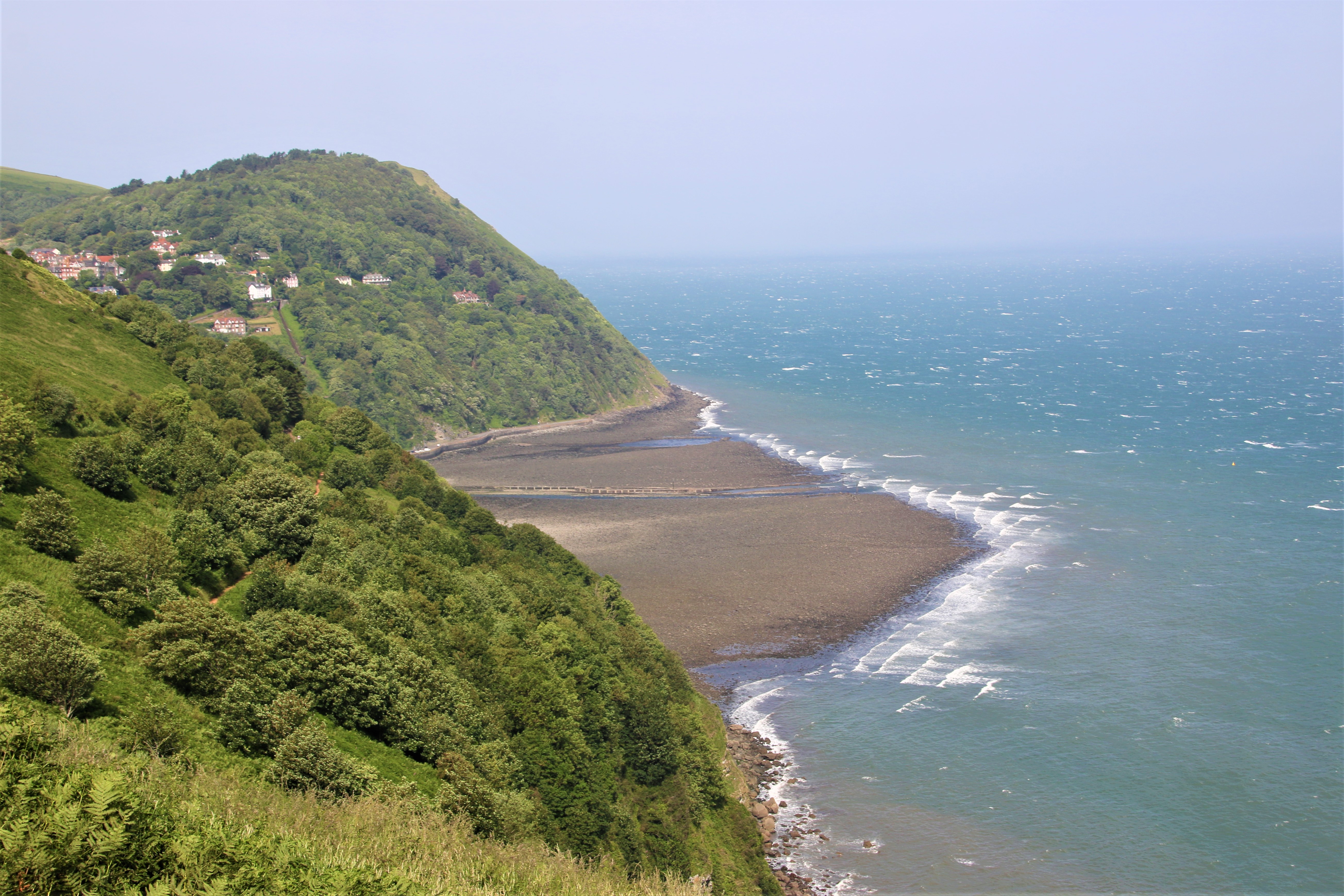
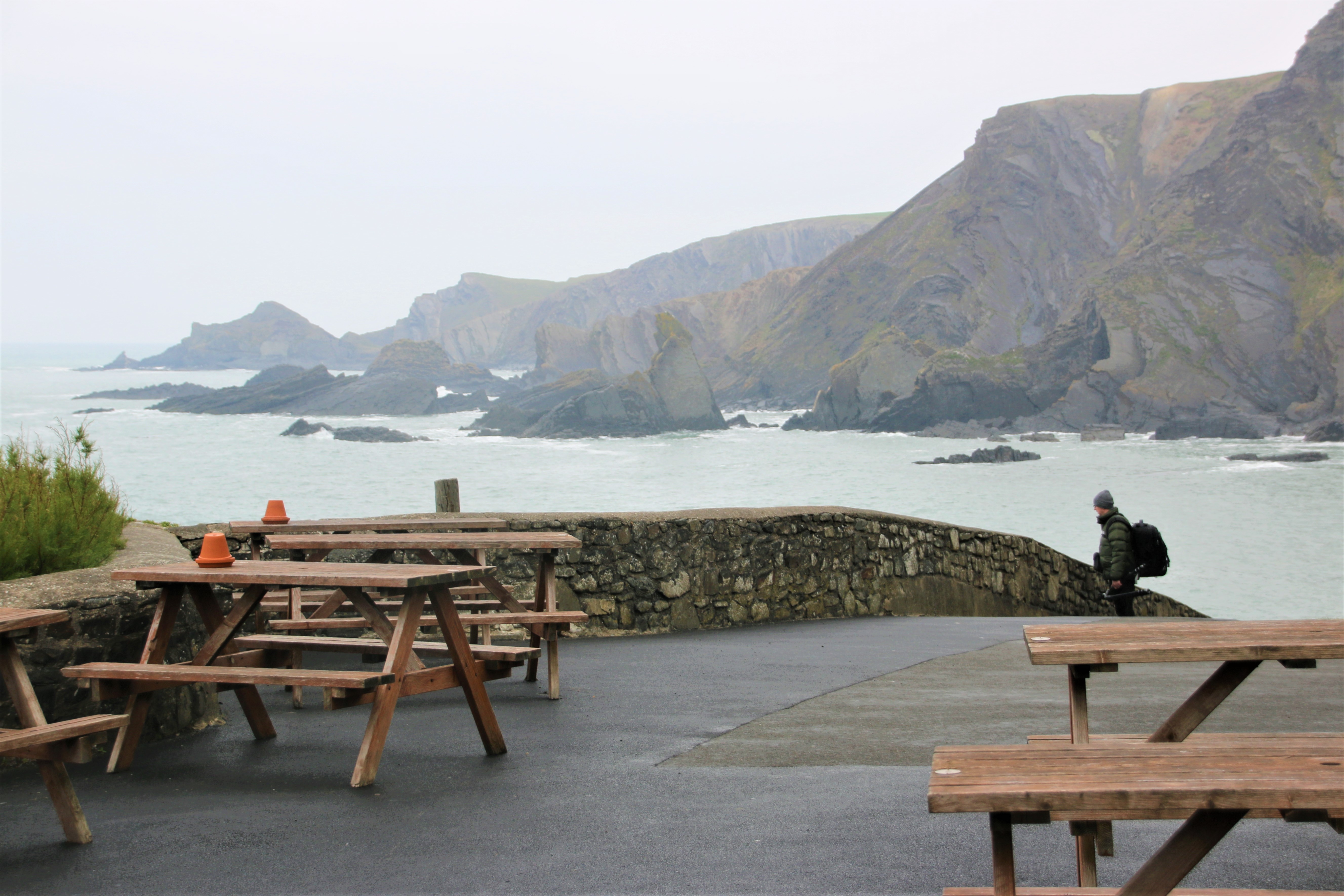
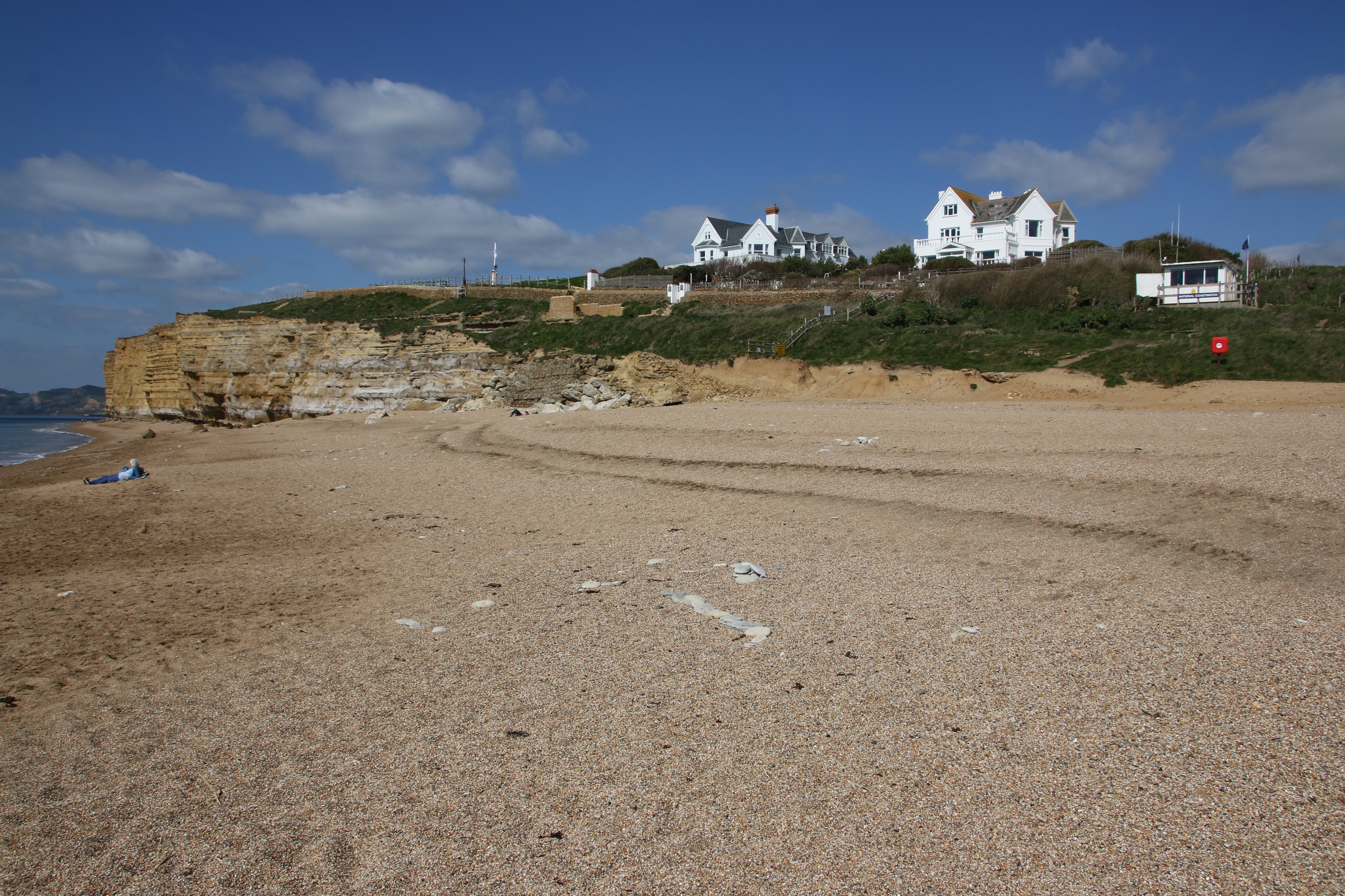
Dunraven

The Romans built a fort on the cliff here. In the 1700s it was replaced by a manor house, Dunraven Castle, now in ruins. It is an excellent spot, best explored at low tide, for fossil hunting and rock pooling.
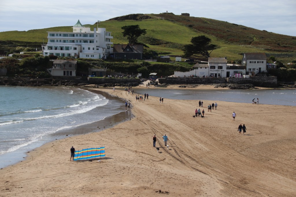
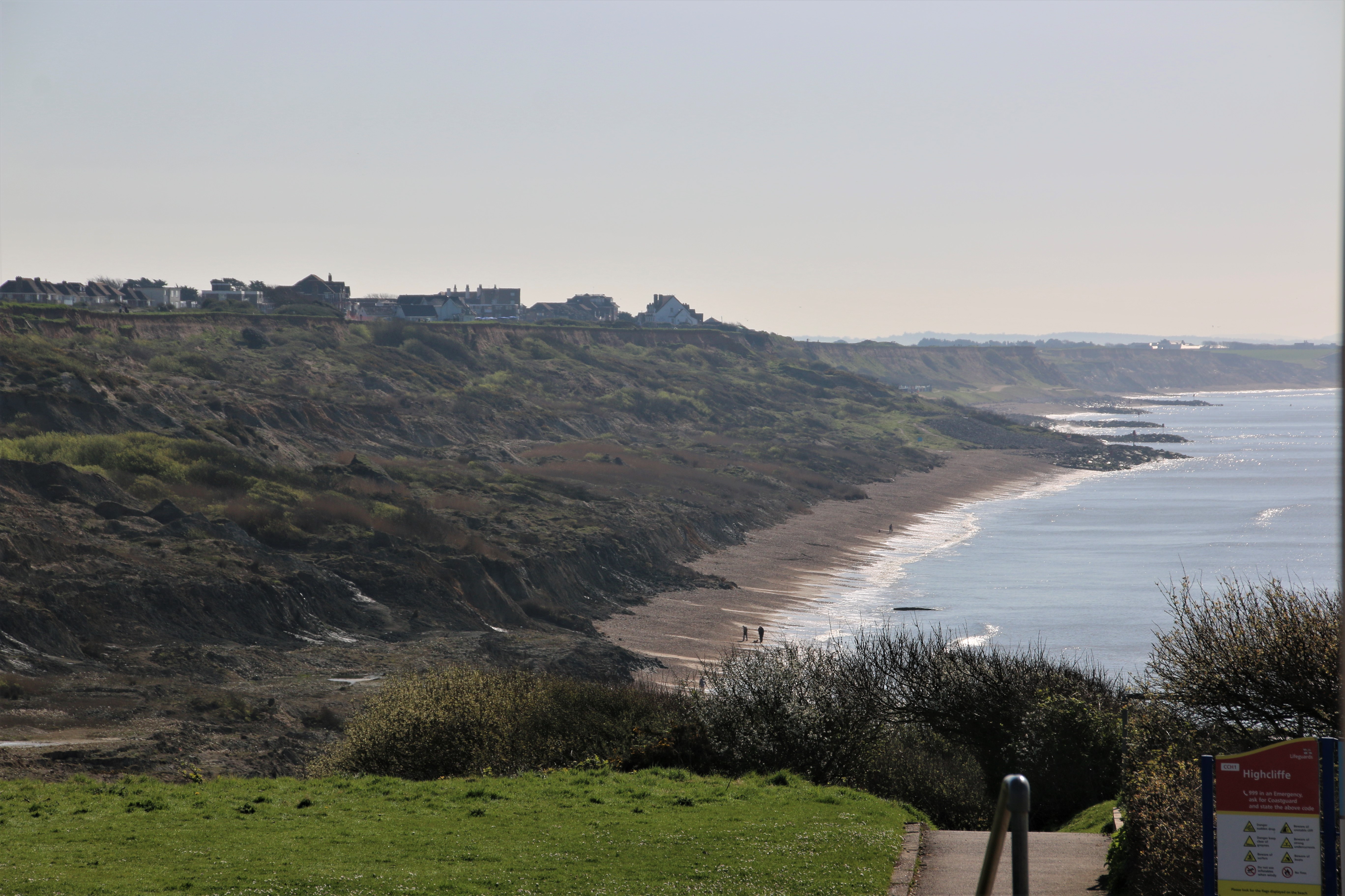
Southerndown

A narrow, paved road leads down to the car park & toilets at the beach at Southerndown, known as Dunraven Bay. The road that runs along the headlands through the village, provides wonderful views of the Glamorgan Heritage Coast.
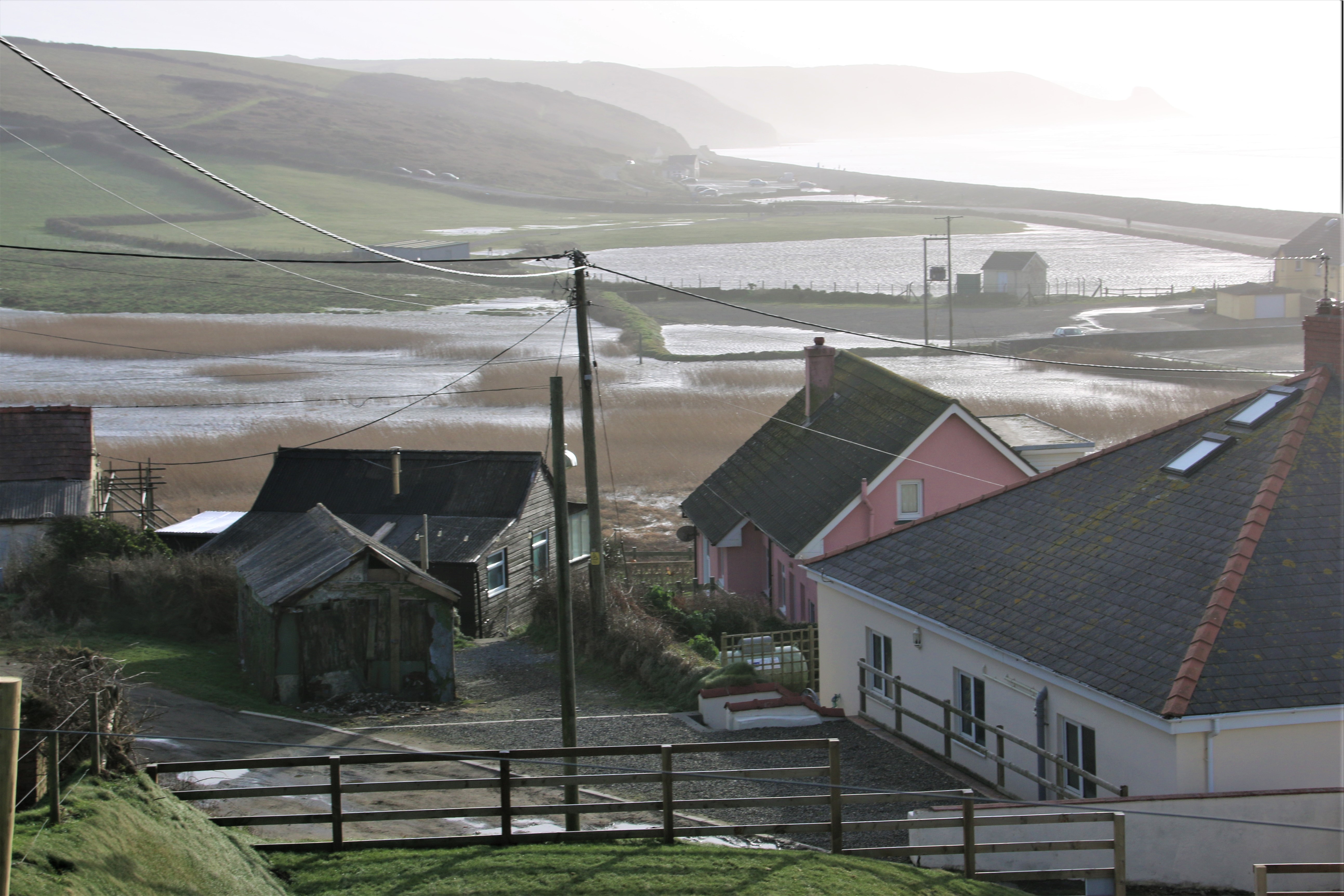
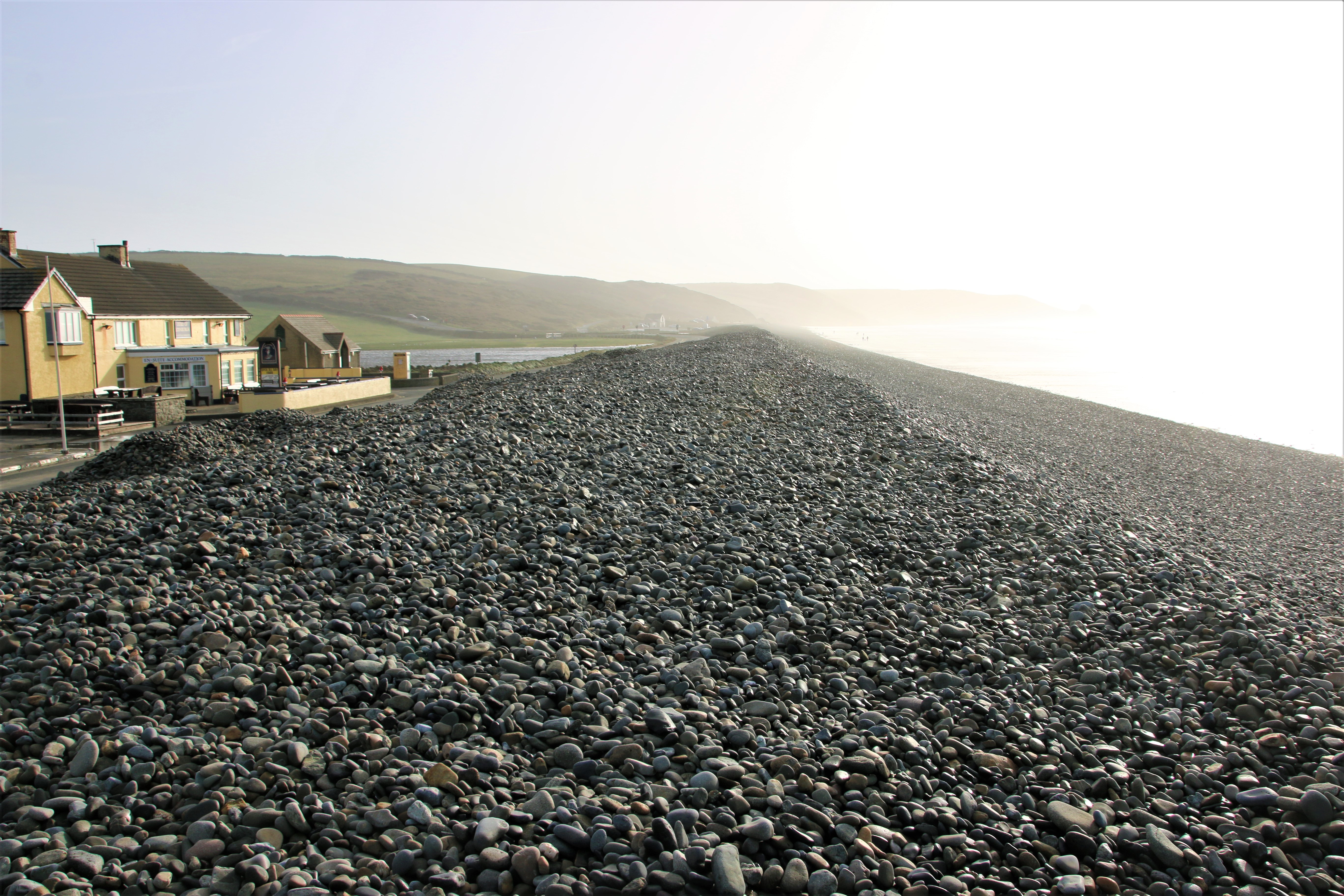
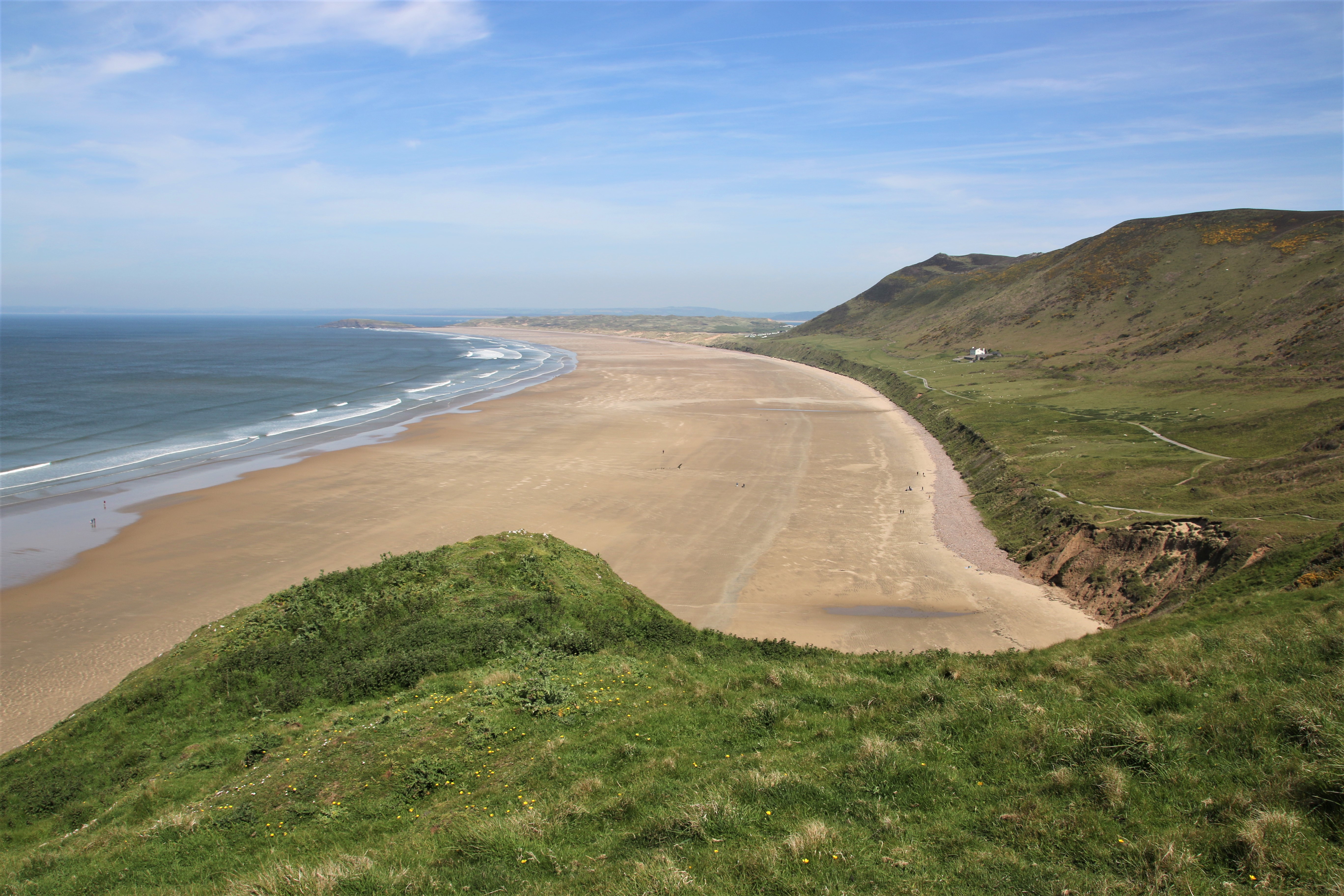
Ogmore-by-Sea

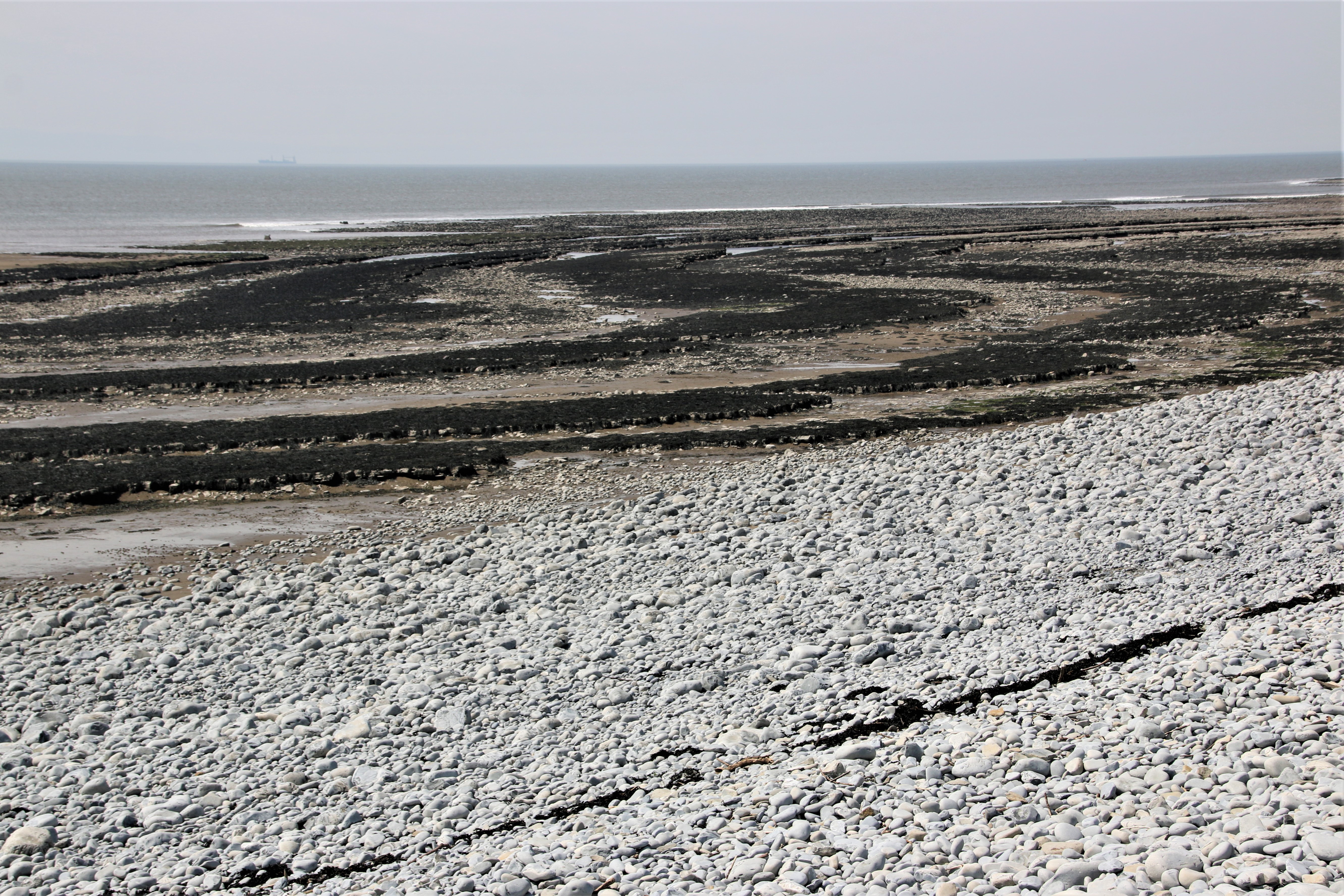
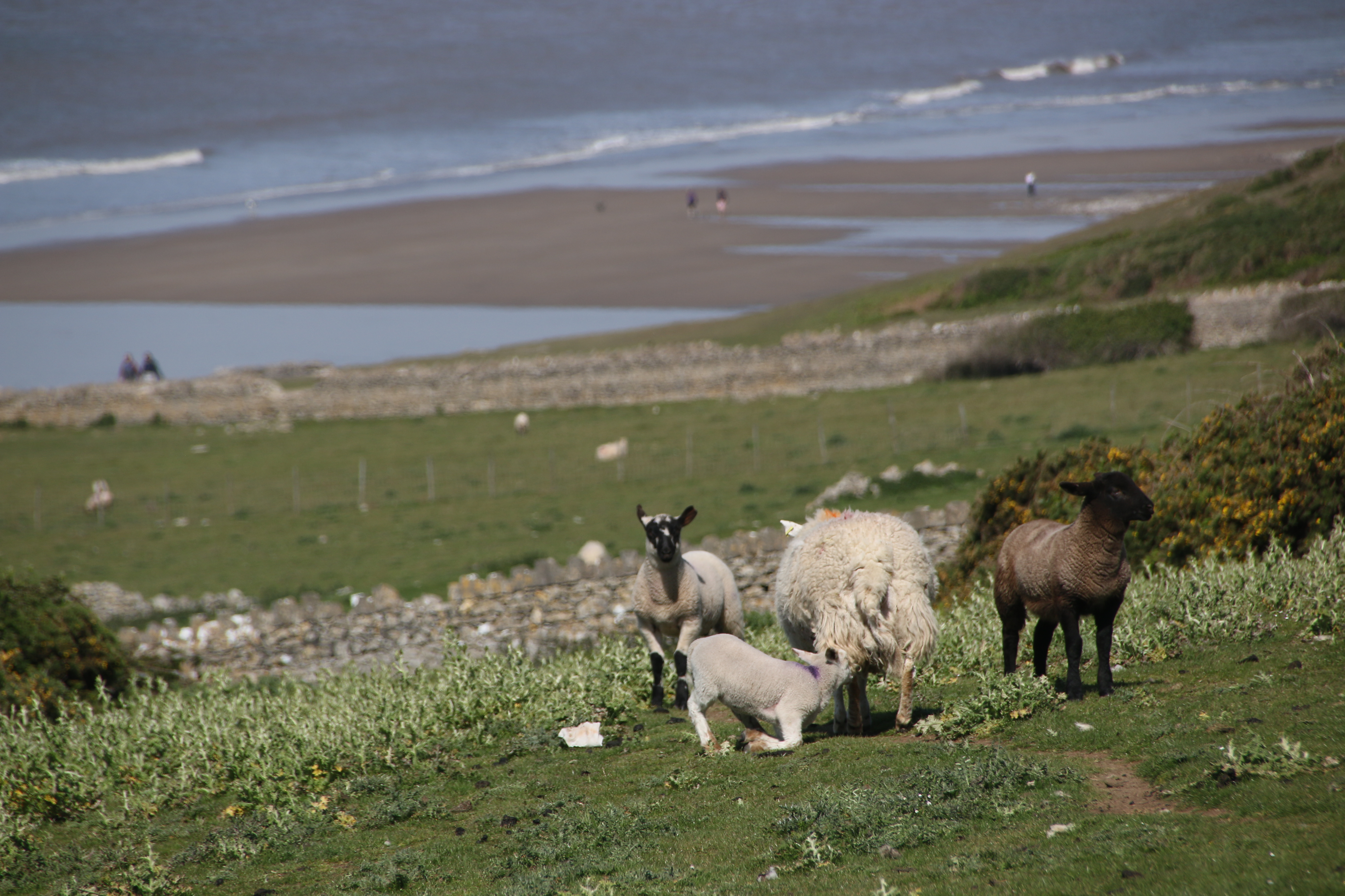
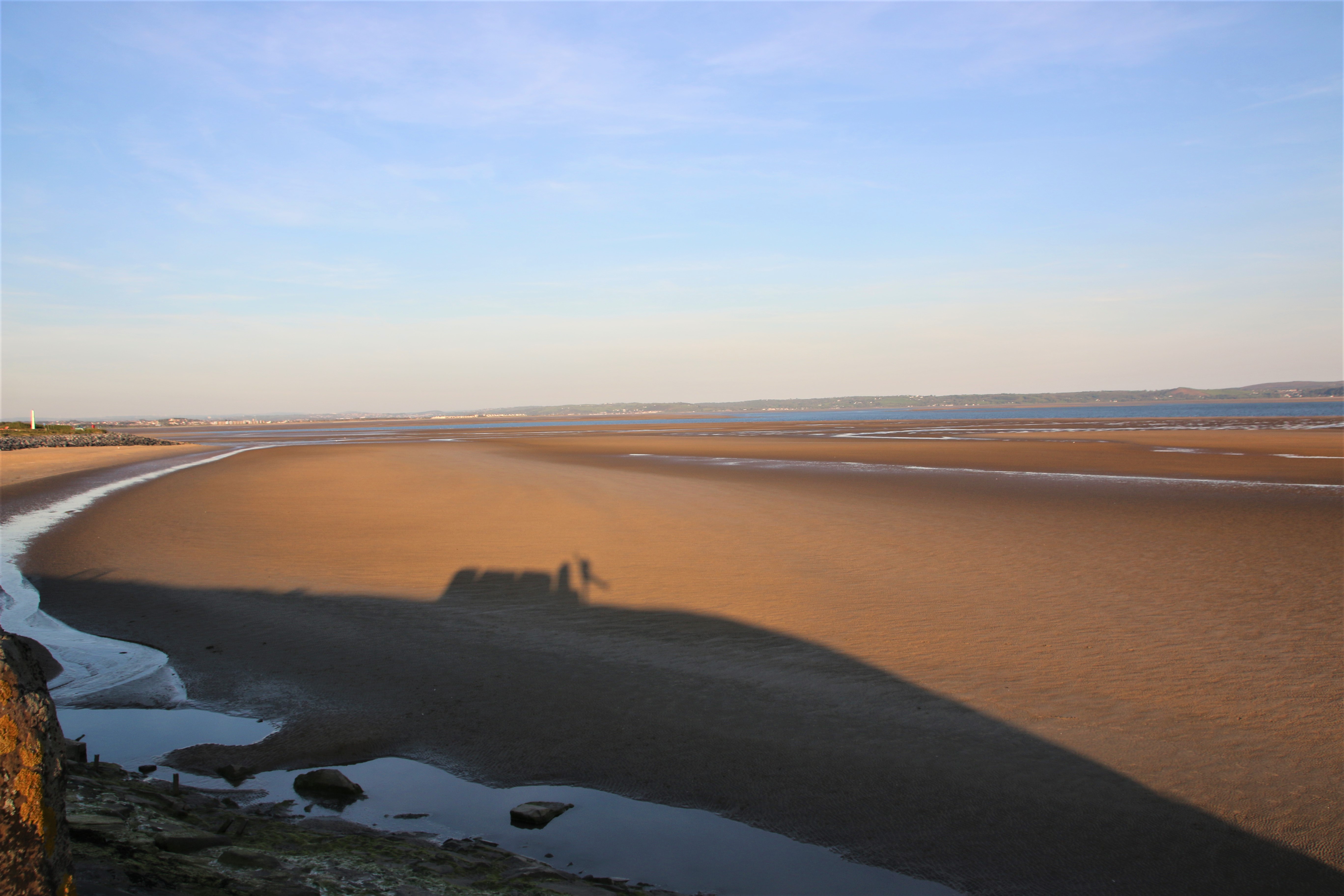
The village itself is set back on the raised land, overlooking the shore. The River Ogmore enters the Bristol Channel here and combines with the sea to create a large sandy beach at low tide. But watch out, it is easy to become cut off by the incoming tide. The small caves and rock pools are a magnet for those who enjoy exploring a varied coastline, like beach walkers and fossil hunters. The higher ground around the village hosts a large Pay & Display car park, along with a toilet block. Sheep graze on the cliffs, happily ignoring any activity on the beach or road above


A UK Coastal Trip – Weston-super-Mare

East Quantoxhead

This small, privately owned village seems caught in a time capsule. The centre feels very tranquil with an exquisite manor house, thatched cottages, medieval barns, its own duck pond and old mill building.

Hinkley Point C

There are three nuclear power stations on this headland. Plant A has been decommissioned, Plant B is in operation and Plant C is due to open in 2013 and expected to produce electricity for 60 years.

Steart

This small village lies in an isolated position on the Steart Peninsula which lies between Bridgewater Bay and the estuary of the Parrett. Largely low-lying farmland, it borders marshes managed by the Wildfowl & Wetlands Trust.

Burnham-on-Sea


from the town website

In the late 18th century Burnham grew from a small fishing village into a popular seaside resort. Several 19th century buildings line The Esplanade, the concrete sea-wall that was completed in 1988. A stone-built pier and jetty opened in 1858 to connect with a paddle-steamer ferry service which stopped in 1888. The second pier was built here just before WWI but never extended and so it remains the shortest in Britain at 37 metres in length, nothing more than a pavilion on piles. There has always been a risk to shipping in the area and several lighthouses have been built over the years. The Round Tower was built in 1799. It was sold after it stopped operating in 1992, converted and is now available for holiday lets. At the end of the beach the Low Lighthouse was built in 1832 on nine wooden piers.

Brean

Northwards along the coast and past the dunes and grasses that line the shore behind the Nine Pins Lighthouse the beach merges into Berrow and then Brean. These small villages are mainly made up of caravan park after caravan park; oh, and throw in a holiday camp. Over the road, the vast, sandy beach  stretches away  in either direction. It waits for the high sun to come out and the families to emerge from their compact holiday homes to take ownership of the shore, even if the water is far, far away. The beach is also a business. It is large enough and flat enough to park cars – at a charge.

Weston-super-Mare

Early in the 19th century, Weston was a small village of about 30 houses, located behind a line of sand dunes which stretched along the shore, which had been created as an early sea wall after the Bristol Channel floods of 1607. With the arrival of the railway in 1841, thousands of visitors came to the town from Bristol, the Midlands and further afield. Mining families also came across by paddle steamer from South Wales. To cater for them Birnbeck Pier was completed in 1867, offering arcades, amusements, tea rooms and rides. It closed in 1994 and now stands derelict. The Grand Pier opened in 1904, supported by 600 iron piles and 366 metres long. Weston has one of the longest beaches in the UK. Due to its large tidal range the low tide mark is about 1.6 km from the seafront. Although a bit jaded in places, the resort continues to offer numerous facilities to attract millions of visitors every year.

 Clevedon

Jutting out into the Bristol Channel sits Clevedon Pier. The pier was opened in 1869 to attract tourists, provide a ferry port for rail passengers to and from South Wales and serve as an embarkation point for paddle steamer excursions. The pier is 312 m long and consists of eight spans supported by steel rails covered by wooden decking, with a pavilion on the pier head. This Victorian resort town has the usual attractions that appeal to holidaymakers, next to the pier and along the promenade – cafés, bars, restaurants and fish & chip shops. After a chequered history dating back to 1929, Marine Lake still provides safe sea water swimming for families and training long distance swimmers within its artificial boundaries. Salthouse Field has a miniature railway, mini-golf and plenty of family-themed activities.

Portishead

The town of Portishead has a long history as a fishing port. The Esplanade is a reminder of the Victorian splendour that the town was long known for. As a Royal Manor, it expanded rapidly around the docks during the early 19th century. A power station and chemical works were added later but these have since closed and the area redeveloped into a glitzy marina & apartments blocks.

Severn Beach

Severn Beach used to be a thriving holiday resort. However, over the years, decline set in. Today it is quite hard to imagine the idea of anyone coming here on holiday. It is mostly a commuter town and the beach itself is a mix of mud, pebble and rock sloping into the silty waters of the Severn Estuary. The Second Severn Crossing can be seen in the background.

A UK Coastal Trip – Lynton & Lynmouth

Lynton & Lynmouth

Lynmouth is a pretty harbour of bobbing boats, nestling beneath the cliffs with quaint fishing cottages and shops lining the narrow street down to the quay and the distinctive Rhenish Tower, built in the late 1850s by General Rawdon to store salt water to supply his house with sea baths.The East Lyn River and Hoar Oak Water come together at Watersmeet and flow through the village to the sea. In 1952 they both flooded and a torrent of water destroyed nearly 100 homes with the loss of 34 lives.

Lynton is a Victorian village perched high above the shore. The steep gradient between the two had always been a deterrent to visitors and a hard climb for the locals. In 1887 a 300-metre twin track was laid up the steep gradient. The water-operated cliff railway opened in 1890. Apart from needing new tracks in 1908, it operates now as it always has.

Porlock Weir

Porlock, the village 2 km from the coast, means ‘place of the port’ and Porlock Weir is its harbour. It was the working arm of Porlock Manor Estate where fishermen and builders had their homes. Weir refers to salmon stakes and traps that were situated along the shore. The quaint stone buildings and thatched cottages cluster around the harbour with the 15th century Ship Inn, restaurants, shops and places to stay.

Minehead

Originally this was a rather ordinary town with drift net fishing as its main source of income. This was concentrated around the fishing quarter and the historic harbour. Tourism was late to arrive here as it is a bit out of the way. It did not really become popular until the railways bought tourism to this part of the coast.

In Victorian times wealthy industrialists built large houses on North Hill and hotels were developed so that tourism became an important industry. There are still signs of Victorian and Georgian splendour but it was not until the 1950s that the place really took off. That was when Billy Butlin opened his holiday camp, meeting the need for cheap, multi- activity holidays for working families. Many of the visitors use the facilities of the beach and town before returning to camp for their all-inclusive meals and entertainment.

Dunster Beach

The medieval village of Dunster and the castle and grounds are well worth a visit. A lane leads down from the main road to the beach. A small refreshment hut stands on a wide, open expanse of land running along  the beach. This seems safe with groynes stabilising the shore. It is also a car park and you do have to pay if you want to stay. The track ends at a barrier- ‘Private Holiday Complex’. On the other side, the white-washed fences of private beach huts are proof that ’An Englishman’s home is his castle’.

Blue Anchor

A few detached houses pin the village to its beach of rocks and pebbles and stones. The raised coast road runs above the shore with white-painted railings preventing pedestrians from toppling onto the rocks below. A camp site and a large caravan park line the other side. At the west end, it turns away from the shore at a level crossing over the West Somerset Railway. 20 miles of track make this the longest,              independent, heritage railway in Britain. The line meanders through the Quantock Hills with 10 stations along the way.

Watchet

Watchet has history going back to the Dark Ages. Its then natural harbour made it an early trading centre, moving commodities up and down the coast, including iron ore, bought down by the railway. It has remained an active port ever since. Old cottages and shops lead down to the modern harbour. Cafes & benches are positioned on the quayside overlooking the moorings and the pontoons.

A UK Coastal Trip – Combe Martin

Woolacombe

This beach is really quite impressive, all 4.8 km of its surfing paradise. Vans & motor homes parked on the cliffs, empty the cool crowd onto the sands and into the sea. Rows of black-clad bodies wait for that one wave that will take them to the next level and nirvana.

Lee

This is a quiet gem, away from the relentless activity on the surfing beaches. Positioned in a small cove, the village is surrounded by glorious Devon countryside. There are a few houses, some holiday lets and a ramshackle hotel.

Ilfracombe

The town has been popular with holidaymakers since the 1800s. Beaches abound close by. The Tunnels Beaches transformed the town into a seaside resort whilst maintaining Victorian etiquette. Men, women, girls and boys were segregated through four tunnels on the way to a unique and stunning, secluded beach. Damien Hirst’s 20-metre-high statue of Verity stands at the entrance to the harbour, overlooked by sweeping public gardens and terraces of tall, elegant, white-faced buildings.

Hele

Looking down from the headland, Hele is like a model village. At low tide its beach is edged by interesting rock formations, caves and holes. The sands are empty, crying out for groups of holiday makers and playful children. The village is home to a paper mill which produces sausage casing paper and paper for teabags. Originally a grist mill producing flour, it was converted to a paper mill in 1762. It was here that John Dewdney produced the first glazed writing paper in England in the 1840s. He was also famously called upon to supply the paper for the catalogues of the Great Exhibition in 1851.

Watermouth

Watermouth Castle was the residence of a local family, built in the mid-19th century to resemble a castle but it is in fact a country house. The castle is now an amusement centre with such attractions as Castle Treasure, Dungeon Labyrinths and The Watershow Extravaganza and, in its grounds, are nine rides spread across themed areas known as Adventure Land, Merry go Land and Gnome Land. Opposite the castle a track leads down to a caravan park and a slipway where yachts are hauled up for the winter. A small tearoom offers simple refreshments.

Combe Martin

The village wraps itself around a small, sheltered cove with the steep coastal path winding up the cliffs on either side. It boasts some of the best rock pools in the UK. Houses line the one single street that runs 3.2 km from the valley head to the sea. The Pack o’ Cards public house was built around 1700 by George Ley, reputed to have been funded by his gambling successes. It originally had 52 windows, 13 rooms and four floors, matching the corresponding numbers from a pack of playing cards. Disused silver mines are located nearby. Items in the Crown Jewels are made from Combe Martin silver.

A UK Coastal Trip – Westward Ho!

Bude

The resort town/surfing centre of Bude is made up of different areas, each with a different feel. There is the busy town centre with national and independent shops and numerous hotels, guesthouses, bars and eateries. Tall cliffs climb behind the coast with open spaces for dog walkers and family play and exercise, before dipping down to numerous coves up and down the shore. Crooklets Beach is at the end of the golf club. Popular with surfers it has changing huts and showers and is close to town.

It is separated from Summerleaze Beach by Bude Sea Pool, a large, open-air tidal pool beneath the headland. The pool is refreshed daily and used when the tide is out. This beach stretches around the front of the town.

The life-savers have a high lookout, along with a cluster of beach huts, on the paths that lead up the cliffs. At the far side of the beach, the Bude Canal starts its low climb to Druxton Wharf near Launceston. Built in 1823, cables were used to haul tub boats up its 35 mile course.

Hartland Quay

This remote spot on the coastline of the teeth and tails of fiery dragons, used to be a small harbour. Ships would berth here to unload their cargoes of stone and lime and coal.  Agricultural products would have been loaded and taken to be sold. A line of workers cottages and an inn were built here. These have been converted into a hotel and bar, with a small shop selling items for tourists.

Clovelly

From the days of Elizabeth I, Clovelly has been privately owned. This means that it has kept its unique atmosphere but it also means you have to pay in the Visitor Centre to get in.

A single steep, cobbled street tumbles its way down to the ancient fishing harbour and the 14th century quay, past flower-strewn cottages broken only by little passageways and winding alleys that lead off to provide further surprises. This street, known as ‘Up-a-long’ or ‘Down-a-long’, was built of stones hauled up from the beach. Donkeys used to be the main form of transport but today man-powered sledges transport goods around the village. Clovelly was once a busy fishing port renowned for herring and mackerel. During the high season, the return to the car park can be made by vehicle from behind the pub on the quay.

Bucks Mill

This charming hamlet stands proudly on its high perch. It is unspoilt, with just a handful of cottages, no pub, no shop. At the time of the Spanish Armada, the survivors of a Spanish Galleon took refuge here and settled, marrying local women. They were self-sufficient, from fishing, agriculture and lime burning. On the beach, now sprinkled with disused lime kilns and rusty winches, is the abandoned quay.

Westward Ho!

Westward Ho! is the only town in the UK to have an exclamation mark as part of its name.

The vast beach is Westward Ho!’s big attraction, backed by amusements, go-carts and a surf school. This wide expanse of sand stretches away for 3 miles and is made for surfing, as long as you have the energy to get out there at low tide. The shore slopes away so gently that the low tide mark feels like a mile away. A promenade runs along in front of the resort providing protection for the beach huts, the numerous eateries and apartments, chalets, clubs and pubs.

On the neighbouring headland, bungalows, huts and caravans dot the grass in grid clusters. Permanent holiday housing has been built alongside two holiday camps which are still in operation.

Saunton

Surfers seem to go out in any weather as long as the surf is up. The village itself is small and provides the access to the beach car park. A small collection of shacks sell surfing paraphernalia and steaming mugs of tea to shivering wet suits. In the grey of a cold, windy, spring day, beach huts stand a bit forlorn, unwanted, unhired.

Croyde

Around the headland Croyde sits on a small bay. An unspoilt village steeped in old-world charm, it huddles behind the dunes. Between the houses, tracks head down to the surfing beaches. The surrounding cliffs offer grand views of the sport on offer amongst the surf-topped waves.

A UK Coastal Trip – Port Isaac

I am back on it now. I have travelled through all the remaining coastal settlements of the West Country and of Wales, so all the images and the blurb are mine.

Polzeath

A small seaside resort, Polzeath’s wide, sandy beach is popular with families and surfers. Cars park directly on the sand and offload their youngsters into numerous surfing schools dotted around the shore. Other families take their beach-paraphernalia to their spot, marked out with windbreaks and cool boxes. Surfing school staff and life savers give an air of authority in case anyone is feeling nervous about entering the distant sea. Steaming tea and bacon rolls are available from the cafes and stalls, providing further comfort.

Port Quinn

Port Quin is an unspoilt cove sitting in a deep inlet that faces the Atlantic. Narrow and sheltered, its beach is only accessible at low tide when rock pools appear. Forming a natural harbour, Port Quin, like villages close by, once had a thriving pilchard fishing industry. There was mining here too, but over the years both went into terminal decline with the village eventually becoming deserted. The cove and village have been  re-energised and both are now run by the National Trust. It a quiet and peaceful spot that is popular with experienced walkers and those taking part in snorkelling and kayaking. On my visit, a small van was making good quality, bespoke coffee in the small car park.

Port Isaac

Port Isaac is all very quaint and photogenic. The time to visit is out of season otherwise the narrow streets and eateries are swamped by visitors, to the extent that cars are parked all the way up the roads running down and through the village. A well-known set for TV and film, one almost expects familiar members of the cast to be seated in the pub with a bevy or beer in his/her hand. Yep, it happened when I was there! In the centre of the village, numerous restaurants and eateries offer seafood menus, landed by the boats that moor in the harbour or are dragged up onto the small slipway. Reservations are essential all year round.

The village was a busy coastal port from the Middle Ages to the mid-19th Century by which time it was an active harbour handling stone, coal, timber and pottery. Fishing and fish-processing have always been important. The centre consists of narrow alleys and ’opes’ winding down steep hillsides, lined with white washed cottages and granite, slate fronted houses.

Tintagel

Tintagel is a busy village with numerous attractions to pull in the passing tourist. The most well-known is Tintagel Castle – a Cornish castle with links to the legend of King Arthur. A spectacular new bridge links this island fortress to the mainland. The castle ruins, covered in lichen and tufted grass, cling to the cliffs. A life-size bronze statue of an ancient regal figure keeps watch over the wild seas below.

Boscastle

Quaint, picturesque, white-washed cottages line the stream that gurgles down to the harbour and the sea. In 2004 flash floods caused terrible damage.

Before the railways, Boscastle was a thriving port, serving much of North Cornwall. The harbour, sheltering from the weather and sea behind crags and outcrops, is a natural inlet protected by two stone walls, built in 1584.

Crackington Haven

This is a lovely shingle cove dominated by majestic cliffs. Golden sands & rock pools are exposed at low tide. Until the 19th century, it was a small port handling limestone, coal & local slate. The village car park, at the mouth of a gurgling brook where it spreads over the beach, is partially circled by a cluster of houses, a few being B&Bs, an inn, and an excellent cafe.

Widemouth Bay

The beach is a wide expanse of open sand with fingers of rock all that remains of eroded headlands. This exposed stretch of coast, faces west, straight into the full force of the Atlantic.

A UK Coastal Trip – Brixham

Brixham

Narrow streets and attractive old buildings cling to the steep slopes that encircle the harbour. This is a working port that remains in use as a dock for fishing trawlers and home to a large fishing fleet. It is the oldest town in Torbay. Historically, Brixham was two separate communities with only a marshy lane to connect them. Cowtown was the area on top of the hill where the farmers lived, while a mile away around the harbour was Fishtown where the fishermen and seamen lived. Along the quayside ranges a terrace of fresh crab stalls, fish & chip shops, pubs and taverns. Locals perch on upturned boats and reminisce over past friends, local characters & stories of the sea.

Dartmouth

Dartmouth Castle, dating from the 15th century, guards at the mouth of the Dart estuary. A 229-metre chain was stretched across to the opposite bank to defend the harbour and prevent invaders sailing upstream. The town has a long maritime history. Streets are steeply sloped or stepped and many over overhung by the upper floors of medieval houses.

Originally two fishing villages it was in Tudor/Stuart times that it developed into a prosperous trading port. Grapes carved on the buildings, reflect its days as a wine port. The Butterwalk is a row of trading houses built in the 1630s. The upper floors, supported on columns, provided shelter for the merchants as they traded below.

Blackpool Sands

High wooded cliffs shelter the crescent of golden sand and fine shingle at the northern end of Start Bay which attracts many visitors in the summer. All you need is a café and a car park and a smashing beach.

Strete

This quaint village is first mentioned in 1194. It lies on an ancient trackway up on the cliffs, overlooking Start Bay. The coffee shack down on the shore is a good point for starting a beach walk.

A UK Coastal Trip – Teignmouth

Beer

What a great name for a village. Fishing boats and tackle are lined up on the shore in a very orderly way. They share the beach with holidaymakers and anglers. The café is great.

Sidmouth

Handsome hotels, many of them Regency and Victorian, and seafront buildings, line the roads and the esplanade. Peaceful gardens & clipped lawns lie at the eastern end.

Budleigh Salterton

This small town is sited where the River Otter reaches the sea. Its broad sweep of pink, pebbled beach is guarded by red sandstone cliffs.

Exmouth

Stylish and spacious, Exmouth has some grand gardens and parks. The cliffs that form the coast along here give way to miles of flat sandy beach.

Dawlish

The spine of this family resort is The Lawn, ornamental gardens through which Dawlish Water flows over a series of small weirs. The main Exeter to Plymouth railway line runs beside the sea on this stretch of coast and trains are frequently battered in winter storms. In Dawlish the sea can be reached by walking under the track. Turning left or right, a wide scenic footpath tops the sea wall beside the railway and above the deep-red shingle/sand beach.

Teignmouth

Like many of its neighbours, stone was shipped from here in the early 19th century. Today ball clay from local quarries is exported and used to make crockery and bathroom fittings. The sea side consists of a long beach of dark red sand backed by a promenade. From the centre, the Grand Pier, opened in 1867, reaches out into Babbacombe Bay.

The River Teign flows out at the southern end of the beach and creates, on the land side, a shelter for pleasure craft and fishing vessels. Working sheds share the water’s edge with smart residential buildings.

The shore shelves steeply here and there can be treacherous currents. A passenger ferry crosses regularly over the estuary to Shaldon.

A UK Coastal Tour – Lyme Regis

Seatown

Smuggling and fishing took place from this private, open shingle beach. Thatched cottages of honey-coloured stone line the river before reaching the holiday park. The Anchor Inn watches.

Charmouth

The beach is famous for its fossils, exposed during centuries of cliff erosion. For this reason, it is a popular resort although fossil-hunters should take care on the shingle/sands.


Lyme Regis

This delightful resort town has a long maritime history that covers sea battles, smugglers and sieges. In more modern times, it also hosted some major cricketing and recreational moments arising from the annual tour to the area by Greys Green Cricket Club. Many of these adventures centred on The Cobb, a long stone breakwater, built in 1824 to protect the harbour, where a few, rather forlorn vessels, balance on their keels at low tide.

It, along with the seafront of cafes, holiday lets & private homes in front of the cliff gardens, remains the focal point of the town with visitors enjoying the salty atmosphere of yachts and fishing boats. Lanes and narrow streets, lined with colour-washed houses, climb steeply away from the beach. The cliffs around Lyme Regis constantly crumble and slip into the sea, revealing fossils from 180 million years ago.

Axmouth

This sleepy village was once Roman Britain’s busiest port. Landslips have since choked the mouth of the River Axe and left the village itself a mile inland.

Seaton

This is a sedate resort with a mile-long beach of shingle/pebbles. The 13 trams of the Electric Tramway travel three miles inland, to & from Colyton.

A UK Coastal Trip – West Bay

Overcombe

The village of Overcombe guards the approach to Weymouth, two miles away along the Jurassic Coast. The shingle and sand beach has a different feel with very little development. It is a popular spot with local families as well as kite-surfers and kayakers. As the tide goes out the expanse of sand is exposed. The water is zoned to keep bathers separate from water sport enthusiasts. A long esplanade runs alongside part of the beach, and the South West Coast Path passes over the nearby cliffs. Behind the beach is a large grassy area, great for games & picnics and Loadmoor Nature Reserve is on the other side of the coastal road.

Weymouth

A long, wide, sandy beach is backed by a seafront of small hotels, boarding houses, some dating from Georgian times, and a mass of seaside amusements.

George III began to visit Weymouth for his health in 1789 and established it as a fashionable resort. The town has a long association with the sea dating back to the Middle Ages. In 1310 it was mentioned as a licenced wool port. Cross-channel ferries used to operate from here but these have now ceased. Stone Pier sticks out into the bay. It was built as a breakwater to protect the entrance to the harbour. The harbour side of the pier, and the two smaller ones that stretch out from the main pier, are excellent spots for a bit of fishing by locals & visitors alike.

Portland Bill

Commerce and maritime industries have taken the place of the old naval base. The cliffs around the island are pitted with quarries, many still producing stone once used in the construction of St Paul’s Cathedral and Buckingham Palace.

Steps lead down from the heights to small coves of rough stone & rocky beaches lined with fishermen’s huts.

Fortuneswell

Fortuneswell guards the approach to the Isle of Purbeck at the head of Portland Beach Road where Chesil Beach connects the island to the mainland. It occupies the steepest land above sea level. The strategic significance of Portland was first realised by King Henry VIII, who built two castles to protect the approaches. It became a naval base in 1845 with the construction of Portland Harbour’s Breakwaters. Workers were needed and housing was required on the island as a whole and Fortuneswell in particular. A large number of terraces were built across the village area and crammed into any open space.

Chesil Beach


The beach is a geological phenomenon made up of billions of pebbles which are now The pebbles on Chesil Beach are graded in size from potato-sized near Portland to pea-sized at Bridport and are made up of mainly flint and chert. It is believed that smugglers landing on the beach at night could judge their position along the coast by the size of the shingle.

Part of the beach rises to a height of 14 metres and this protects a lagoon called The Fleet which forms a nature reserve. This can be reached from either end but there is no pedestrian access along the beach between May and August to prevent the disturbance of breeding birds. Abbotsbury Swannery is on the lagoon, a sanctuary for 600 mute swans on the site of an 11th century monastery.

West Bexington

A single road through the village ends by a steeply shelving shingle beach backed by a a line of quite large, mostly white-washed beach huts and a car park used mostly by anglers.

Burton Bradstock

The village overlooks a fine shingle and sand beach. It is known locally as Hive Beach. From the car park there is a grassy picnic area and a track leading to the beach and eroded cliffs.

West Bay

West Bay is Bridport’s former harbour where ships were built until 1879. The man-made harbour is not a natural feature. It was required to export locally made ropes and nets. It has a long history of being silted up, blocked by shingle and damaged by storms. Today the town has a mixed economy of fishing and tourism, a resort, popular with families and sailors.

A UK Coastal Trip – Swanage

Studland

Studland lies across from Sandbank. A long sandy beach and sand dunes line the bay that runs southwards from the ferry across the entrance to Poole harbour. The beach and the dunes are owned and managed by the National Trust.  A short stretch of beach, just down from the chain link ferry, is reserved as a naturist beach. Behind the dunes is Studland Heath National Nature Reserve, an area of heath, woods, mudflats and open water with two waymarked trails.

The village of Studland is further south, set back a few hundred metres from the coast. Many of the houses are holiday homes, second homes, guest houses or hotels and the village’s population varies depending upon the season.


Swanage

Up to the early 19th Century, Swanage was a small fishing port. It developed as a seaside resort with the arrival of the railway. Sheltered within its wide bay, with a sandy beach and colourful public gardens, it is a popular holiday destination. Behind the Town Hall is a tiny lock-up, built in 1802, inscribed ‘For the Prevention of Vice and Immorality by the Friends of Religion and Good Order’.

The first pier was built in 1859/60, primarily for use by the local stone quarrying industry. It included a tramway which ran the length of the pier. A second pier was built in 1895/6 for use by passenger steamers. Today all that remains of the old pier are a line of timber piles.

Worth Matravers

This picturesque village is situated on the cliffs to the west of Swanage. It comprises limestone cottages and farm houses and is built around a pond.

Kimmeridge

Kimmeridge is a picture-perfect village as is its beach, with a natural waterfall and amazing views. However, the bay is only accessible via a £5 toll road, which includes parking.

Lulworth Cove

The small settlement at Lulworth Cove consists of a few buildings geared up for catering for the tens of thousands of visitors it receives each year. As well as visit this attractive cove they also use it as a starting point for the cliff walk, especially westwards to the famous rock formation known as Durdle Door.

Osmington Mills

The hamlet of Osmington Mills sits on the cliff top. A rough path leads down to a wild, rocky beach. The Smugglers Inn services visitors and the camp sites & caravan park.

A UK Coastal Trip – Bournemouth

Boscombe

This is to prove that this really is me, and yes, I have travelled from Berwick-upon-Tweed around the coast to Boscombe (and further) capturing images of every coastal settlements, from the beach or of the beach.

Originally a sparsely inhabited area of heathland, from around 1865 Boscombe developed rapidly from a small village into a seaside resort alongside Bournemouth. The first pier opened in 1889.

The promenade has been transformed from a sleepy 1950s style seafront into the 21st century home to numerous beach activities. Either side of Boscombe Pier, there is everything from sports courts and water sports to bouldering and slack lining. The land train runs along the promenade from the pier to its sister pier in the centre of Bournemouth. In town the Royal Arcade is a beautiful throwback to the Victorian era with a range of shops.

Bournemouth

Until the early 19th century, the area around Bournemouth was also just heathland where cattle grazed. In 1810, Lewis Tregonwell visited the beach with his wife. He purchased land and built a house with cottages for his butler and gardener. In 1836 a seaside resort was created, with villas to hire during the summer. The resort has been a popular destination since Victorian times with classic seaside amusements, grand hotels, glorious public gardens and a long, long promenade bordering a popular sandy beach. The iron pier, built to replace a previous wooden structure, opened in 1880, followed by extensions in 1894 and 1905.

Pine-clad valleys called ‘Chines’, used by smugglers, cut through the cliffs to the shore.

Sandbanks

The beach here is one of the best on the south coast. Sandbanks itself is a small peninsula, which contains some of the most expensive houses and land in the country. Some of the most exclusive houses boast direct access onto the beach.

The Sandbanks Chain Ferry first shuttled across the mouth of Poole harbour to Studland in 1923.

A UK Coastal Trip – Mudeford Quay

Friars Cliff

Along the coast from Barton-on-Sea is Highcliffe Castle. As its name suggests, the mansion and gardens are perched high up on the cliff. There is a clifftop walk through the Steamer Point Nature Reserve and the village of Friars Cliff. The beach is long and sandy with patches of shingle, reached by sloping tarmac paths at either end. It is backed by a promenade featuring some well-maintained beach huts where locals and visitors can while away a sunny hour or two.