Chicago in its best light

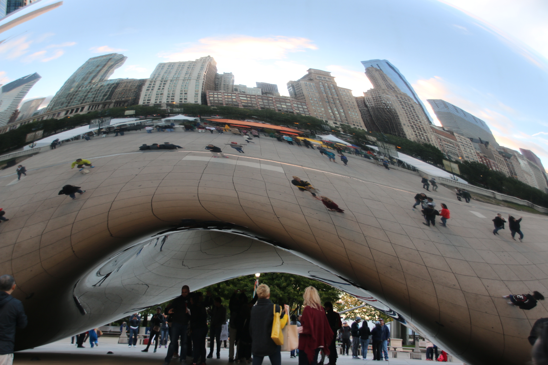
Certain aspects of the city are best appreciated in the special light that dusk brings at the end of the day. Cloud Gate, or The Bean, as it is affectionately known by locals, is a sculpture by Indian-born Brit, Sir Anish Kapoor, and situated in Millennium Park. Three quarters of its external surface reflects the sky. In the sculptor’s mind, its intention is to bridge the space between the sky and the viewer.


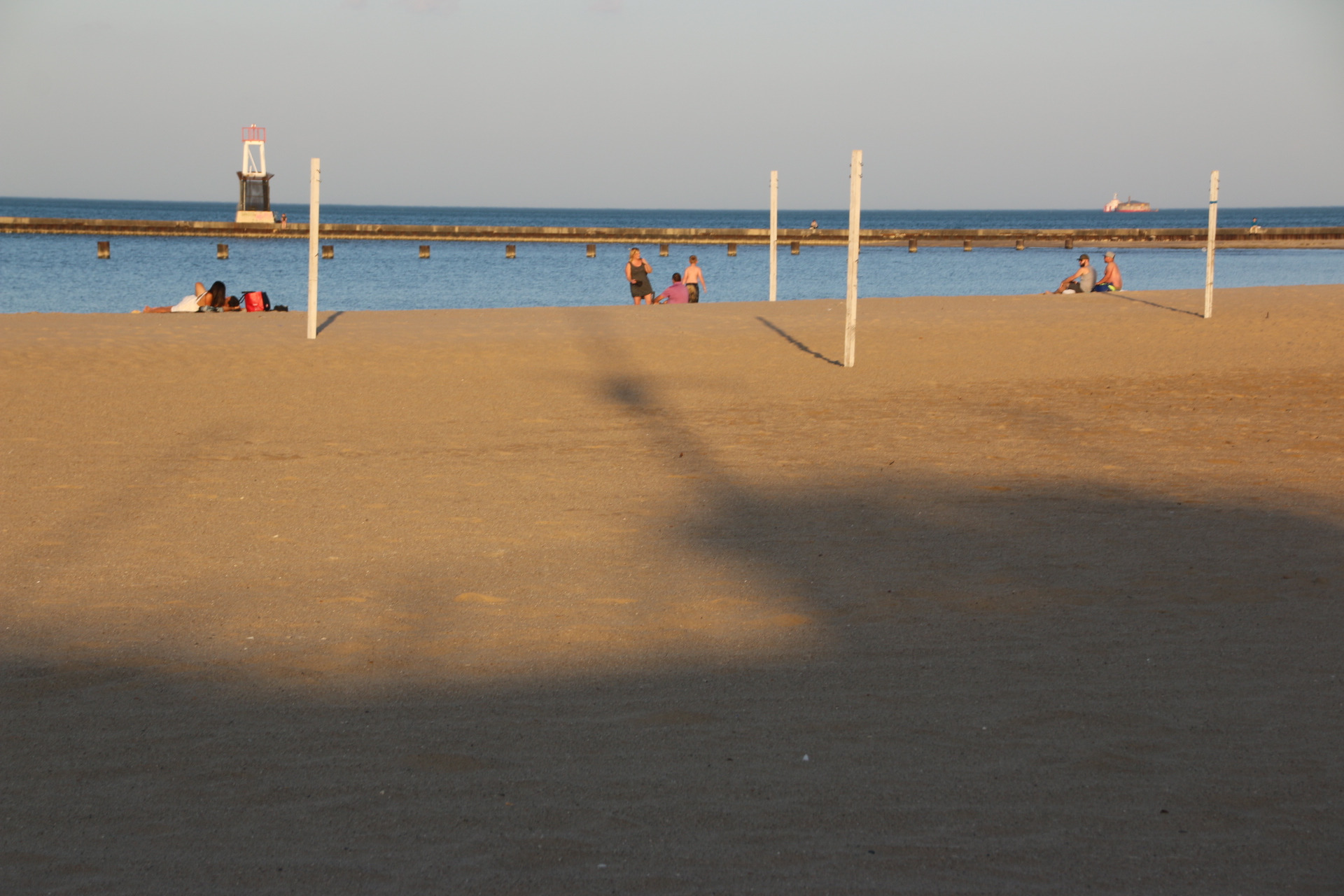
I never thought of Chicago having a beach. Well it does. A long, long expanse of soft sand running north along each of Lake Michigan. It is not only a summer playground for Chicago locals but a holiday destination for the whole Midwest. At dusk the joggers, the roller skaters, the skateboarders, come out and run their circuits up and down the flat promenade. Lines off empty, netless volleyball courts stand idle, with only a few fortunate enough to feel useful and be in use. But what a backdrop, with the city behind.

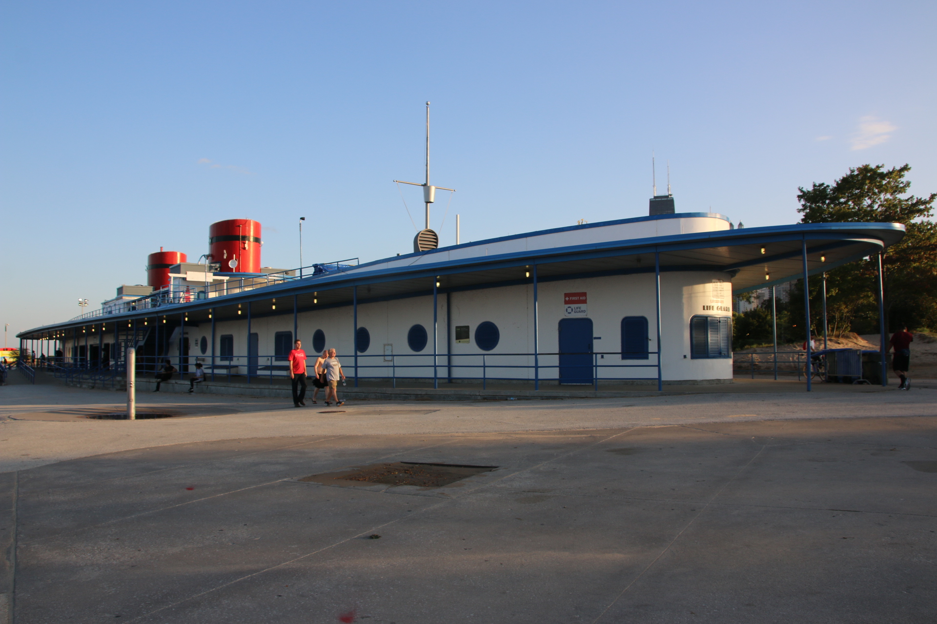
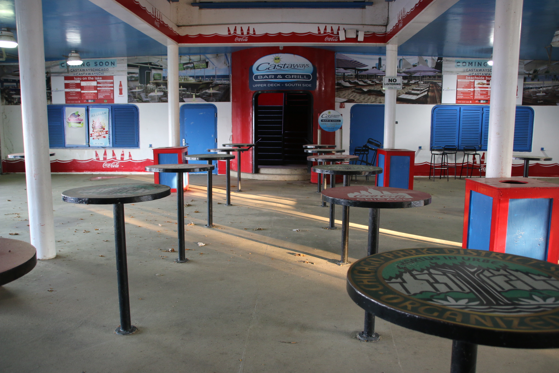
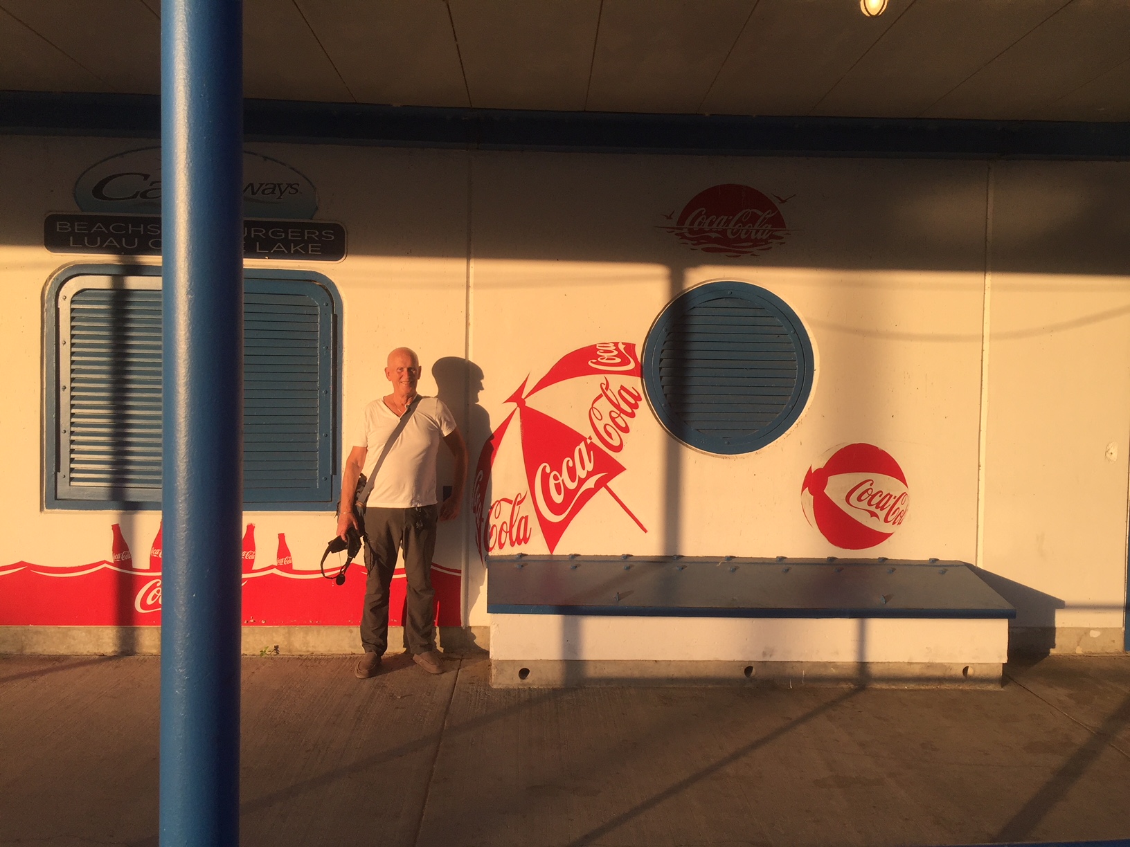
The toilet, changing and refreshment block is closed. It feels like a set from Grease in the fading day which colours it with a warm, 1950s hue when everything was golden laughter and happy and fun.

Oh Happy Days!

Marooned in Chinatown

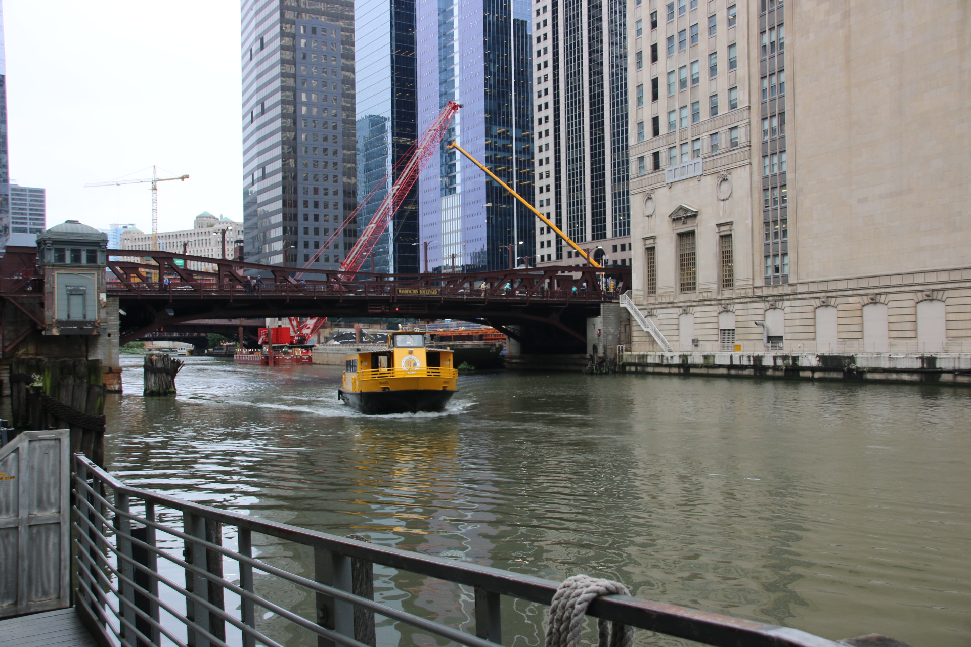
Today it is on the river on the water taxi. $9 for a day rover.


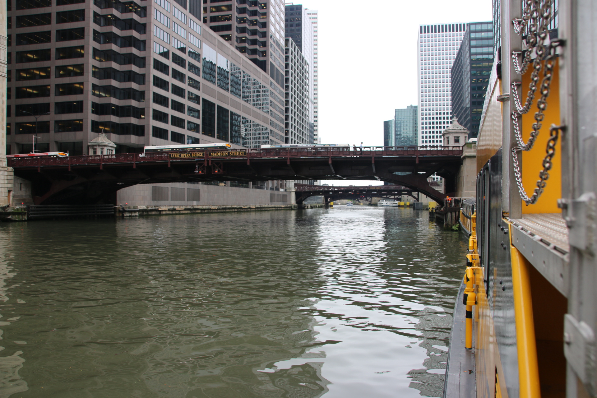
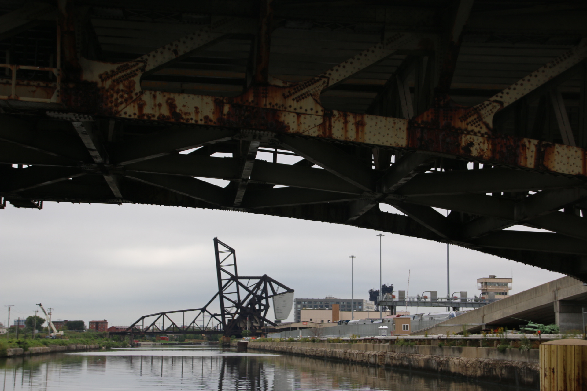
So it is out of town on the south branch of the Chicago River. Soon the glitzy high-risers give way to the Amtrack rail yards on the right

and open bank in varying stages of redevelopment on the left.

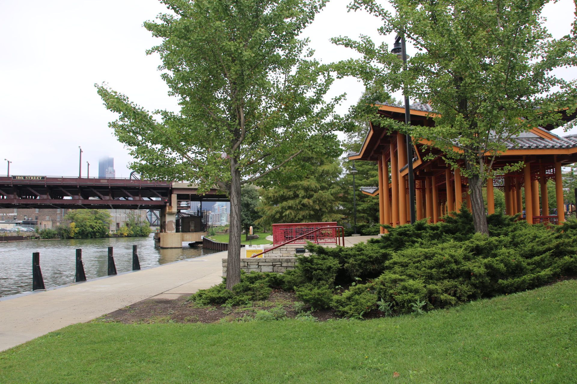
The water taxi lets me off at Ping Tom Memorial Park. There are a few other clues that Chinatown is close by. Other than the name, the stop is marked with a pagoda in manicured gardens.


These guys carry out their daily Tai Chi routine with foil-covered wooden swords.


These locals are crossing the tracks to catch the next boat.

The centre of Chinatown is a 15 minute walk. It has a similar feel to every other Chinatown in every other city everywhere else in the world.

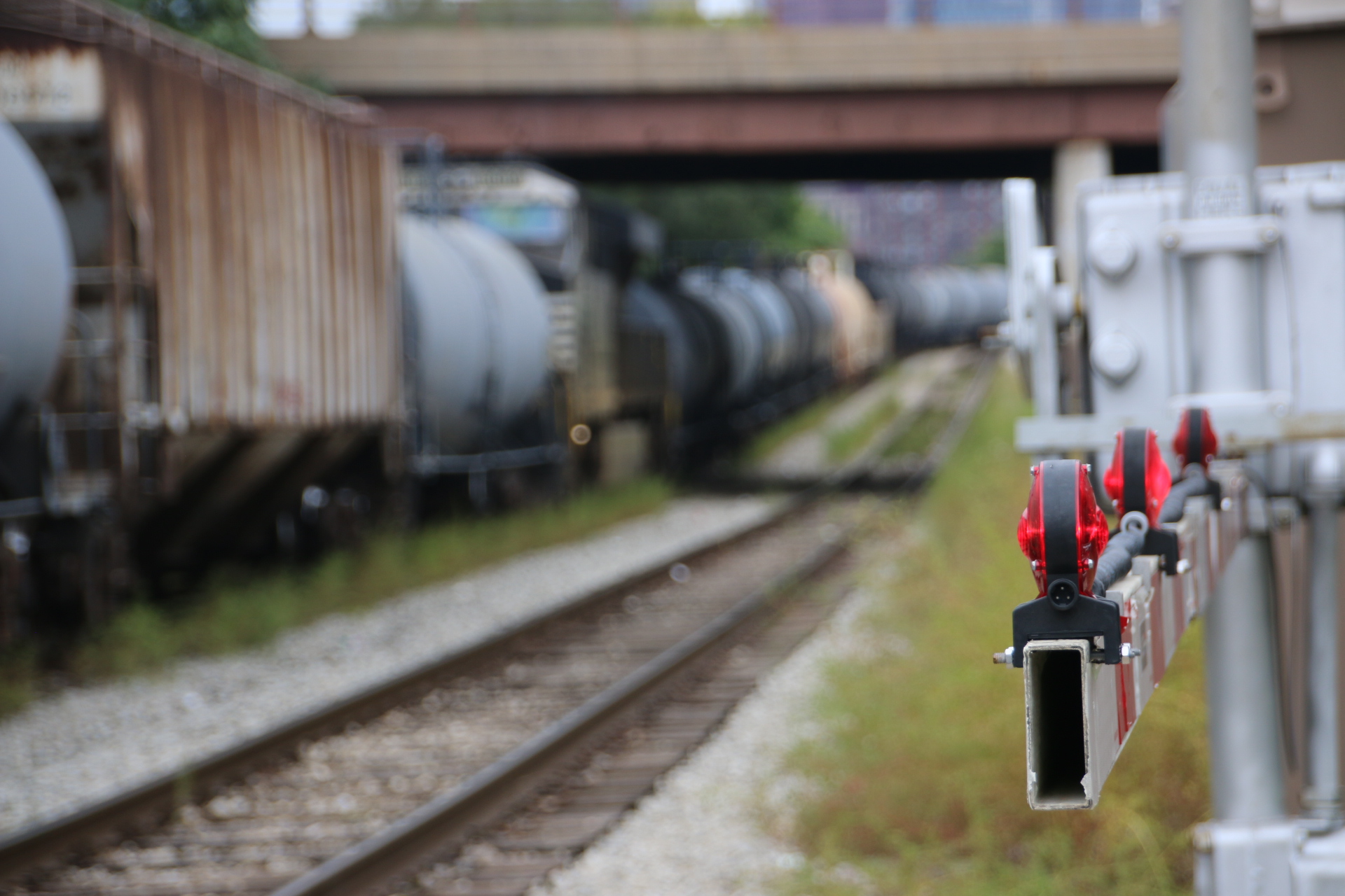
My eturn to the water taxi stop is hampered by a slow moving goods train. Lonnie Donegon’s Rock Island Line. It was not a good sign that several locals sat in the road as the pig-iron and coal wagons, the open cars and the flat-bed trucks trundled endlessly by. I exaggerate not, it could well have been over a mile in length. They had been here before.

10 minutes later it was still passing.

With relief the last wagon passed. We all cheered and went about our business. The water taxi dropped me back in the centre of town.

Enjoying Chicago’s night life

The best thing about knowing people in Chicago is that they know the hotspots and how to give you a really good time. Here are a few exceptionally warm, and some really hot, spots.

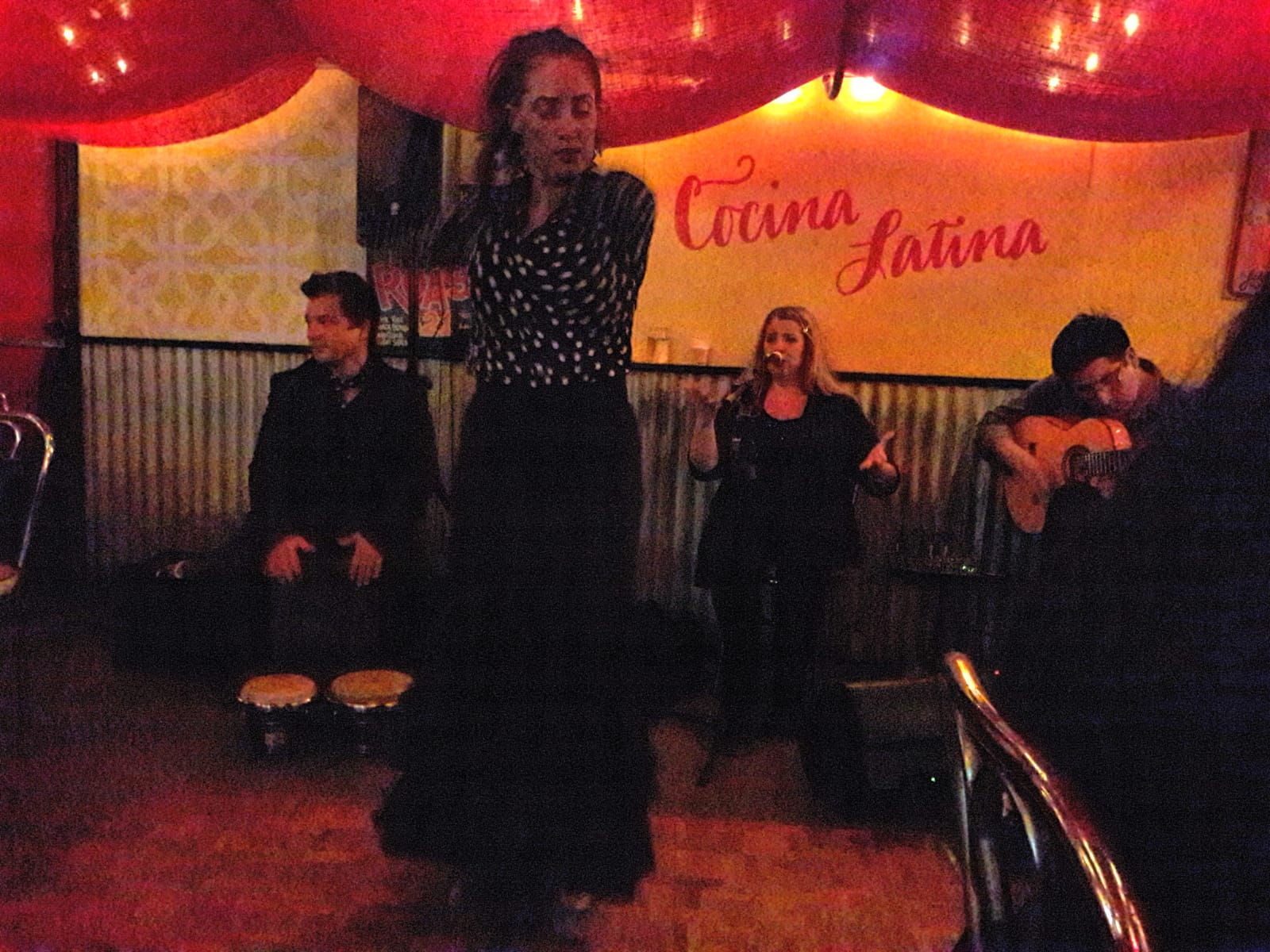
Firstly, Tuesday evening. It’s dinner at a Cuban restaurant with some work mates. Dark, low ceiling, nets, images of Cadillacs and bowls of fruit on the walls. Pulled pork with rice for me, washed down with copious amounts of BYO red from Aldi. The band started to set up – flamenco; a wonderful guy on Spanish guitar, a youthful singer and husband and wife dancers. It was all very intense with lots of clapping and stamping and pouting and yelling and posturing and waving, but so passionate.

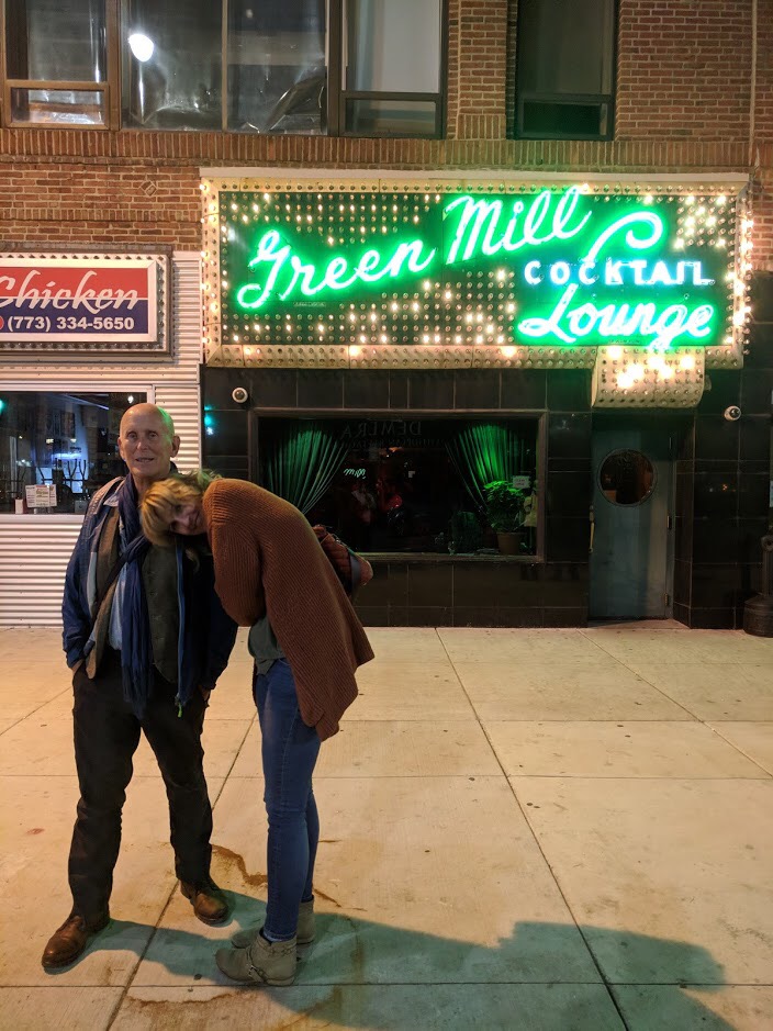
From there it’s an Uber to The Green Mill Cocktail Lounge to listen to The Fat Babies performing classic Chicago jazz of the 1920/30s.


The room warmed up and so did I, helped by numerous rather large rums until my jiving feet got the better off me and I swung the night away. This is me outside the club at the end of the evening about 1am. I think I look fully in control and quite stable. That is Kate, my daughter, looking after me.

Thursday saw us at Buddy Guy’s Club watching a wonderful blues band called The Cash Box Kings with Joel Pattison. Fantastic.

I fully engaged in traditional US bar games which I’d never heard of before. Shuffleboard can be played on a lovely wooden table or on a ship’s deck. I chose the former in the very superior surroundings of the Chicago Athletic Association. It’s a bit like the English game of Shove Ha’ppeny.

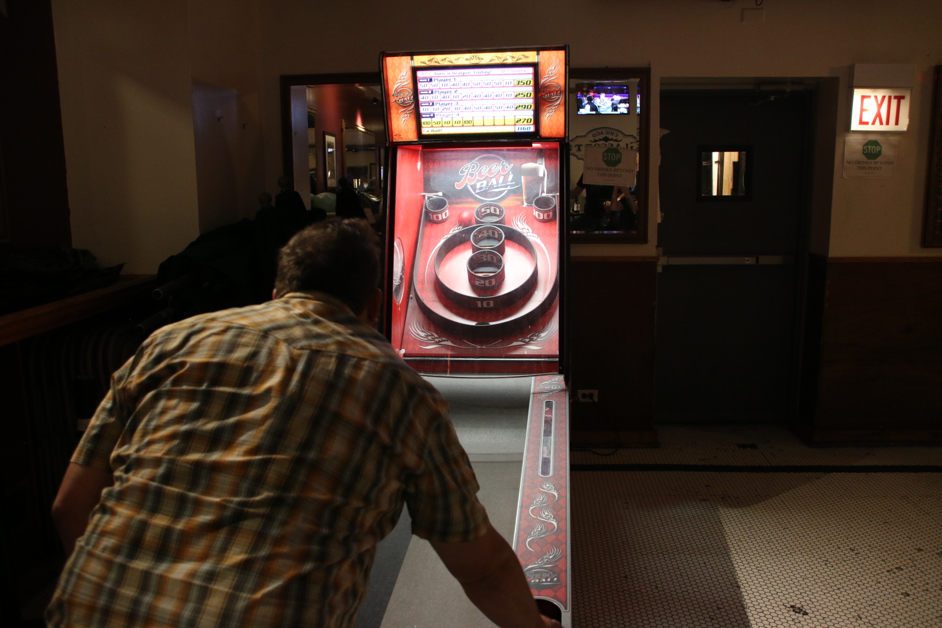
Skeeball is played in bars and involves rolling balls up a ramp into holes with different values. A bit like a cross between bar billiards and crazy golf without the cues or the clubs. It also involves lots of yelling and screaming from other team members.

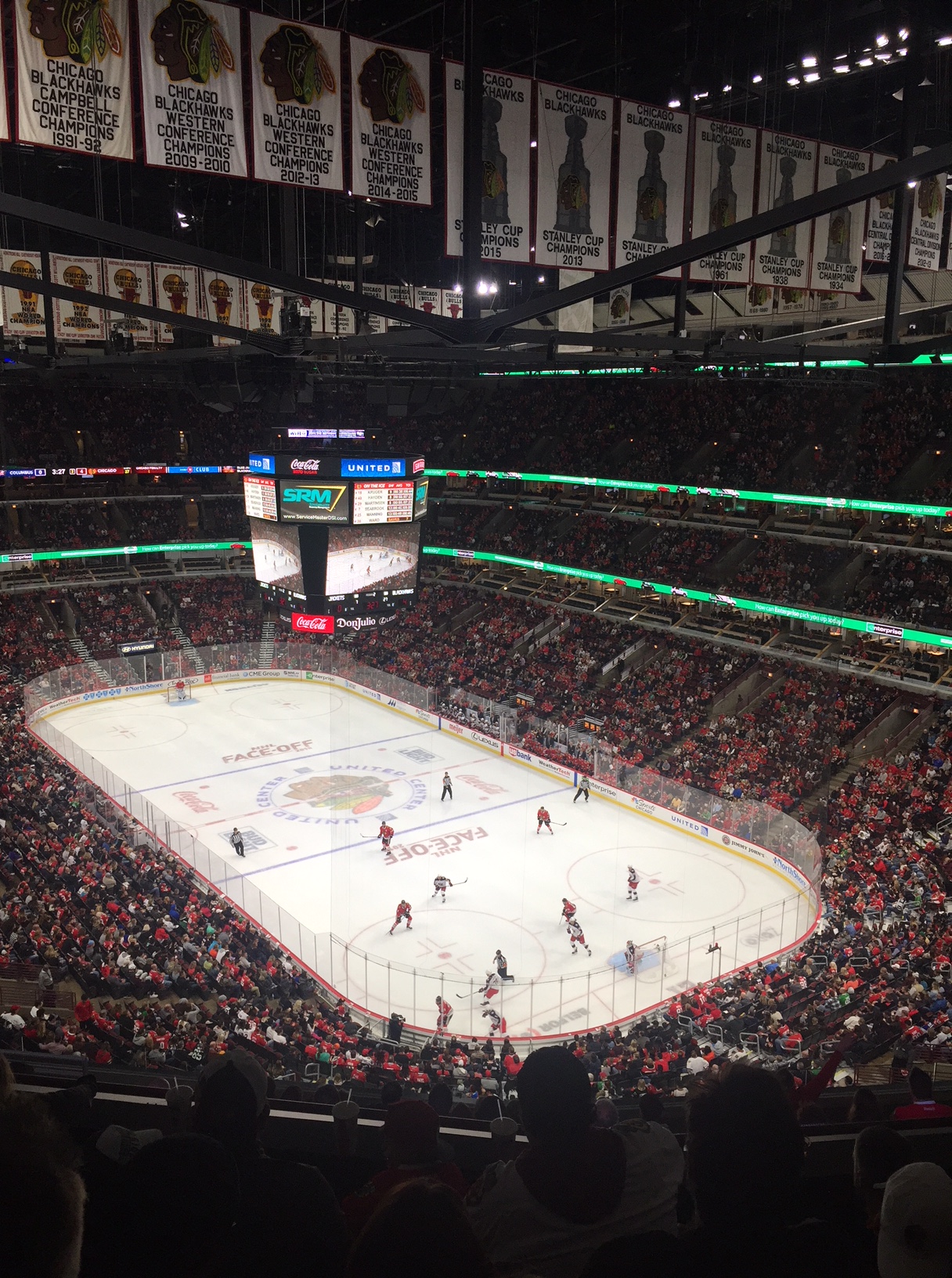
Oh. On my first night I went to see the ice hockey – Chicago Blackhawks against the Columbus Blue Jackets. Chicago won.

So, there is no shortage of night life in this buzzing city. I’m exhausted!!

The subterranean world of Chicago’s bridges

So. These bridges. Chicago is not just home to some of the world’s earliest skyscrapers, it is also a city of bridges. There are five different types of movable bridges and 43 are still operable. The first was timber-built in 1834, similar in design to a medieval drawbridge. The first swing bridge was built in 1856. It was too narrow and eventually collapsed under the weight of a herd of cattle being driven over it. In the mid-1890s vertical lift bridges were developed, pulled up and down from huge counter weights held in towers on one or both sides of it.

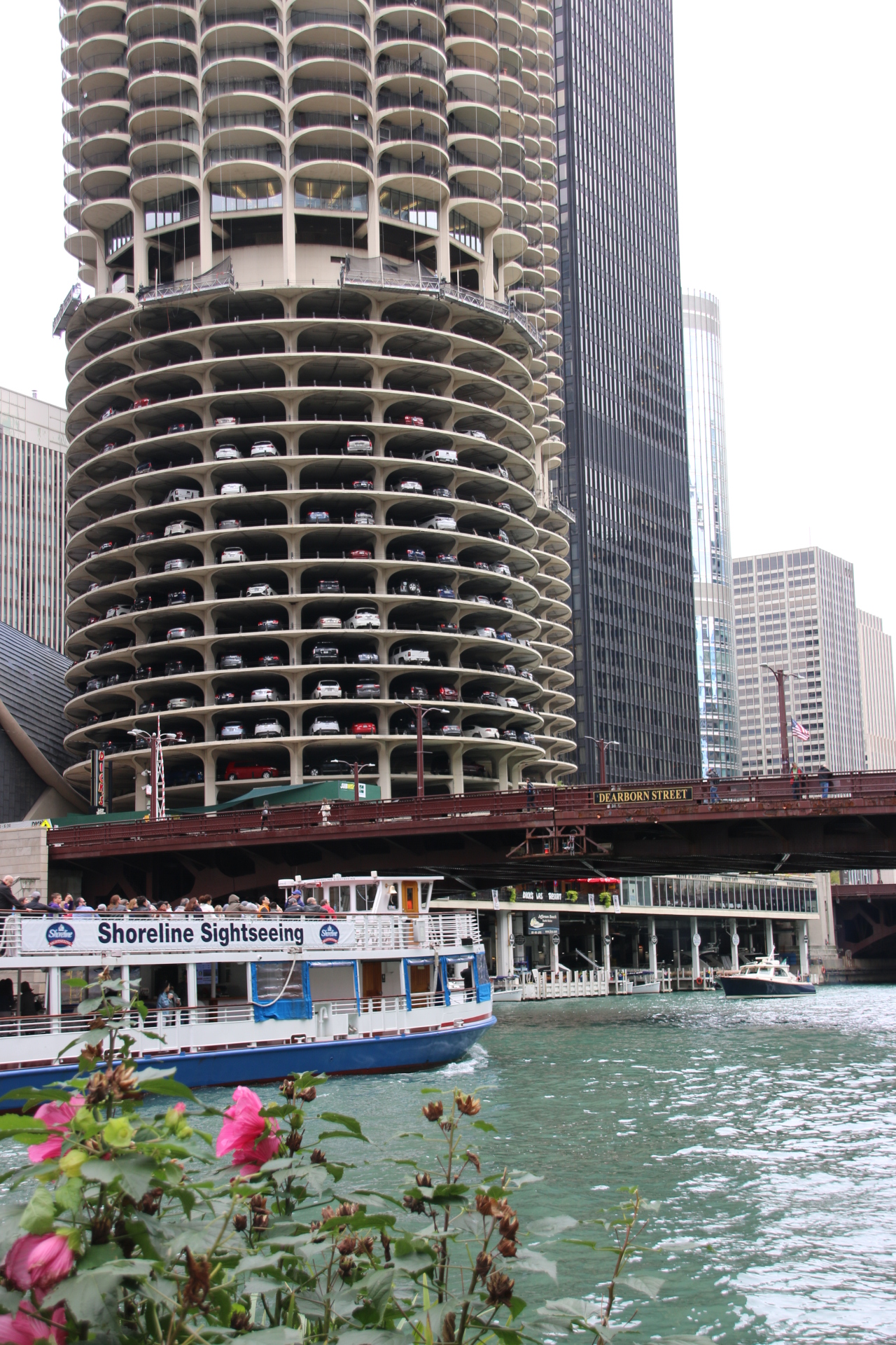
Down the main drag of the Chicago River, through the middle of the city, there are 10 bridges, mostly trunnion bascule bridges, the first of which opened in 1907. The leaves of the bridge which span the river are suspended on axles, trunnions, with massive concrete counterweights located below in the river bed. Single leaf bascule bridges were built when the river was narrower and mostly carry subway tracks. Double-leaf bridges stretch from each bank where the river was wider and meet in the middle. All these bridges are opened together at specific times in the spring and autumn to allow high-masted vessels to move up and down the river, to and from winter moorings.

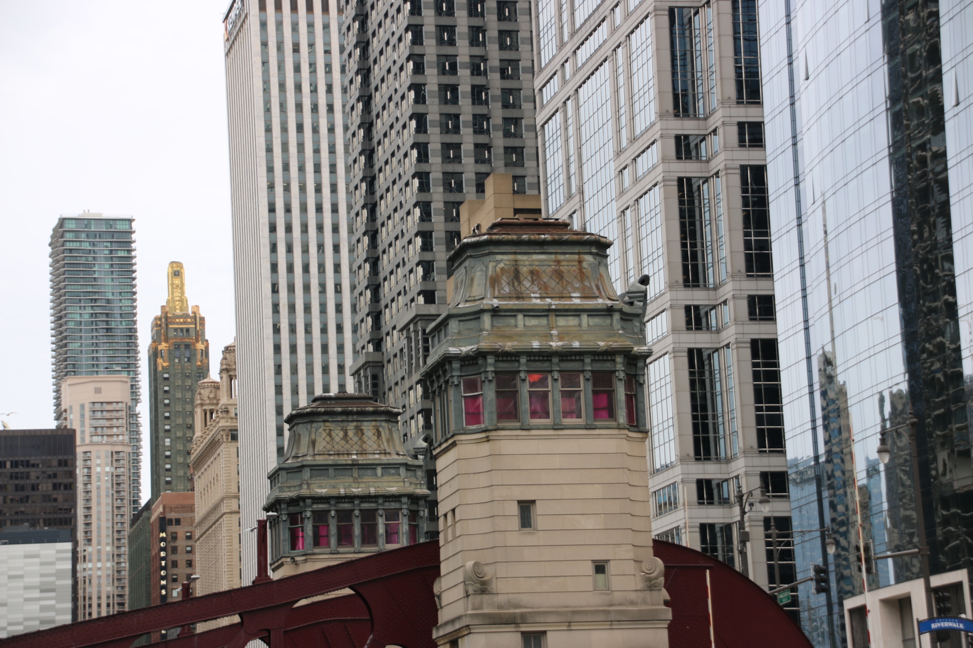
Bridge-tender houses stand sentinel alongside each and reflect different architectural styles.

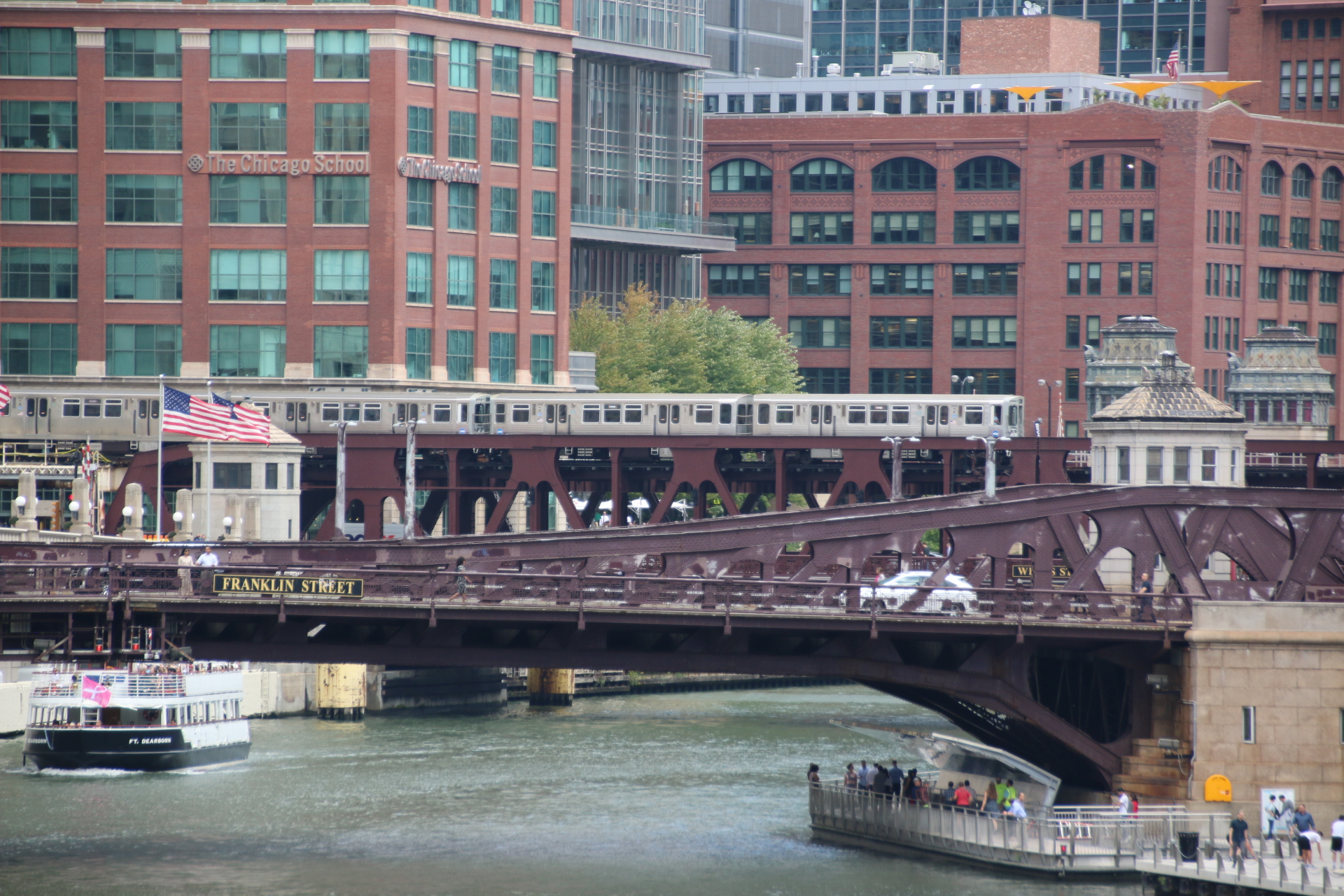
Some of the bridges in downtown Chicago are double-decker with vehicular traffic using the bottom level and subway trains using the upper level to link up with the overhead gantries at either end. Life down here is pretty medieval. Dark, dimly-lit corridors bore out over the water, protected by huge, riveted balustrades, all covered in anti-rust paint, like an earthy sunset. As the lights change a snarling collection of fiery vehicles charge across, headlights blazing in anger and engines roaring in the echoing darkness.

On the upper layer, silver silk-worms creep out from their holes in the concrete and glassy jungle and over, always exposed to the elements and reflecting the weather on their matted surfaces.

From the bridges raised pillars support the subway gantry above, creating more corridors of flickering sunlight and shadow on the streets below.

The noise is tremendous. There is nothing peaceful about Chicago’s streets. Not only do you get the normal city noise of vehicles – horns, engines, tyres. But as trains approach above, the tracks vibrate, metal hums, the timbers shudder on the metal framework. The clatter and clack of wheels, the squeal of brakes, the complaining of carriage metal on bumpers, the whirl of engines, all intensify as the train passes overhea. It recedes as it disappears into the distance, leaving the pedestrian with more normal street noises until another approaches.

The old Union Stock Yards and the meatpacking district

Something that has always intrigued me about the US is the ‘meatpackers’ and Chicago is the capital of their industry. So today it is a visit to the old Union Stock Yards and the meatpacking district. On the way is a coffee in Johny’s Diner.

The railway companies bought this swampland in 1865 and turned it into a central processing area for cattle and pigs, making Chicago ‘the hog capital of the world’. At its peak in 1924 more meat was processed here than anywhere else in the world. Before the stockyards were built, cattle was driven up here and pastured on land owned by numerous taverns before they were sold. The railroads transformed the industry with properly built pens constructed along the converging tracks. The Civil War created a huge demand, with the US Government requiring 1.5 million hogs and 140,000 head of cattle to feed the troups over the butchering season of 1864/5. Eventually the stockyards had 2,300 separate pens with enough room to hold 75,000 hogs, 21,000 cattle and 22,000 sheep at any one time. Saloons, offices, restaurants and hotels grew up around them. In 1921, the area employed 40,000 workers including meatpackers who had yards in amongst the tracks and the holdings.

At one time 500,000 US gallons of water from the Chicago River was pumped into the stockyards each day, to clear out the waste from the animals. This drained back into a creek of the river, named Bubbly Creek due to the gaseous products of decomposition. The river was so badly polluted that the city authorities undertook a major engineering project to change the flow of the river away from the centre of town and the lake and through a man-made channel that led to the Mississippi. The Yards eventually closed in 1971 after years of decline.

Today the area is changing. It still feels seedy and run down with its boarded warehouses and crusty, chains strangling bored doors, its broken windows and faded, painted brickwork advertising forgotten products and innovations.

Continue reading

An English Sunday in Chicago

I know it’s midweek but let me tell you about our Sunday. We decided, as Kate had been away for over 6 months, that we would do a typical English Sunday. So first of all it was a full fry up with waffles instead of fried bread (neither are very good for you). This was followed by a visit to the supermarket to get all the ingredients for a Sunday roast. Had a bit of a problem with the chicken as they don’t sell whole birds – packs of quarters or rotisseried birds. We decided on the latter.

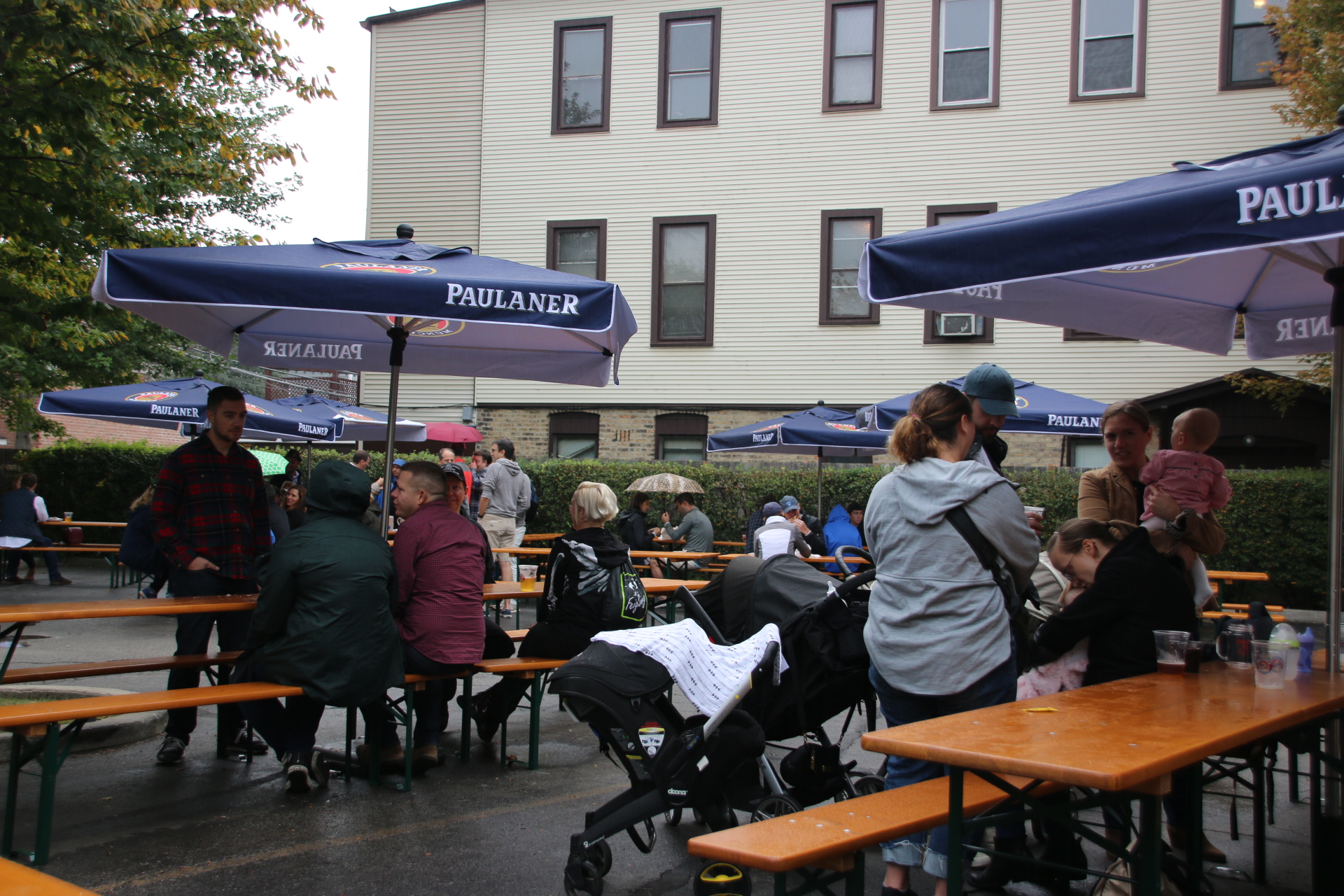
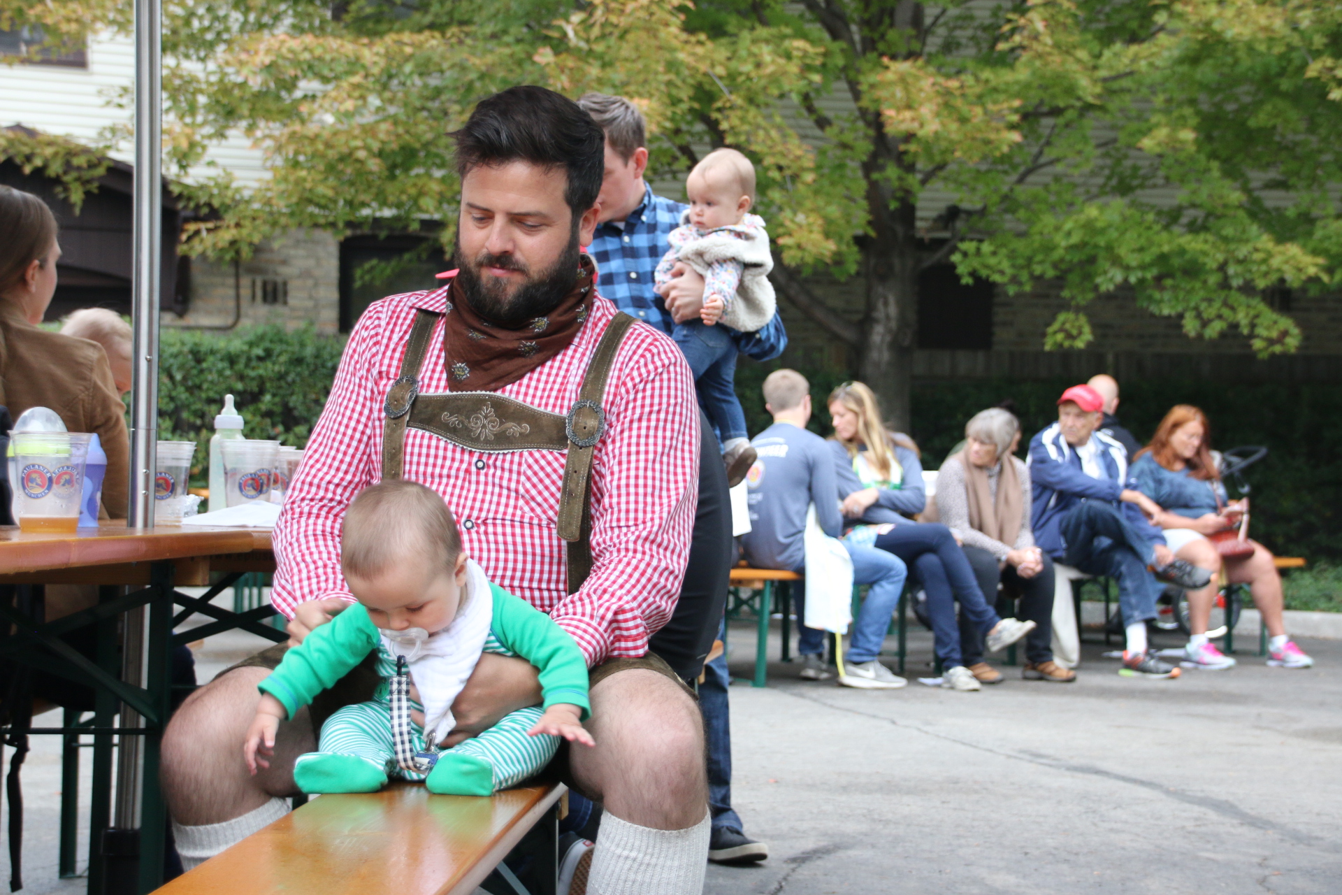
It was then time to get out. A walk in the park was what we had in mind. However an Oktoberfest street party intrigued us. 5 bucks (do you like the Americanisation I used there?) to get in. Two streets, a community centre car park and a small play area were cordoned off with a stage in a huge marquee and a smaller one out in the street. It was a bit like a village fete with beer – lots of food stalls, two beer stalls and fun activities like Hit the Bell and Design a T-shirt. It was slightly confusing as there were many folk dressed in traditional German lederhosen. It was a district with many descendants of German immigrants.


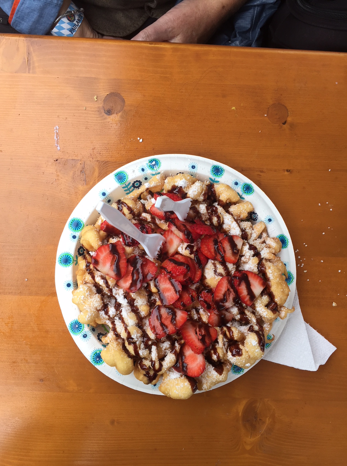
Beer was the order of the day, just like being down the pub at lunchtime without the bowels of peanuts. We didn’t want to spoil our appetites so we limited our food consumption to a large plate of Funnel Cake consisting of light, doughy, chocccos-type swirls covered in chocolate sauce and a few strawberries and a blizzard of icing sugar. We managed half.

The afternoon took a turn when the first band finished and another started to set up. The first chord heralded these guys:

There followed two sets of Beatles’ classics and two sets of Singalong with John, Paul, George and Ringo. America’s best cover band, we were told, and all for 5 bucks. Value!!! They even spoke English with an Liverpool accent. I was very croaky the next day.

So back home to put on the dinner. The chicken was already cooked, so it was just the roast pots and the veg. US pals were roast virgins, if you see what I mean, parsnips were unknown as was gravy. It all went down very well. The day ended slobbed in front of the TV with an episode of Peaky Blinders on   i-player. A perfect English Sunday in Chicago.

Chicago’s masterclass in the construction of skyscrapers

Chicago is the birthplace of the skyscraper. 1,315 high rise buildings crowd into downtown Chicago, 44 standing higher than 183 metres. You’ll get neck ache looking up at the sheer number straining to be the first up to the heavens. Different materials are used in their construction and this in turn has implications for the construction methods used. Carved limestone swirls neighbours steel-frame functionality neighbours concrete stability.

I particularly love the older, Art Deco buildings. The Wrigley Building is my favourite (the one in the middle next to Trump’s modernist, Dr Who’s screwdriver)


The first skyscraper was built in Chicago in 1885 using the steel-frame method. Originally 10 stories high, it stood 44 metres tall and was the tallest building in the world at the time. It was demolished in 1931In the 1920s eleven of the city’s tallest buildings were built. Another boom has lasted from the 1960s and continues today.

The tallest are in downtown districts on either side of the Chicago River and stretching along the waterfront into North Side towards Lake Michigan and into South Side. As they build up architect’s have to take into account the strength of the wind with higher stories actually swaying in certain conditions.

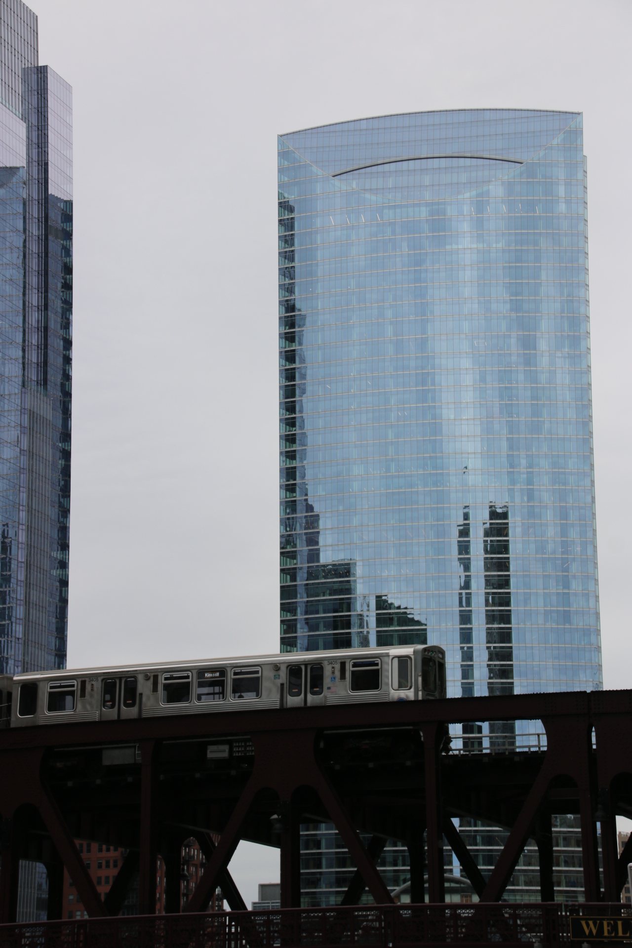
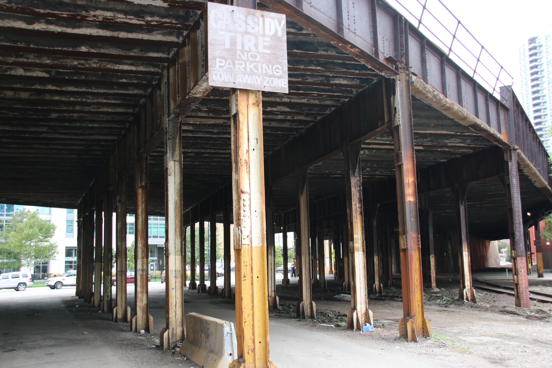
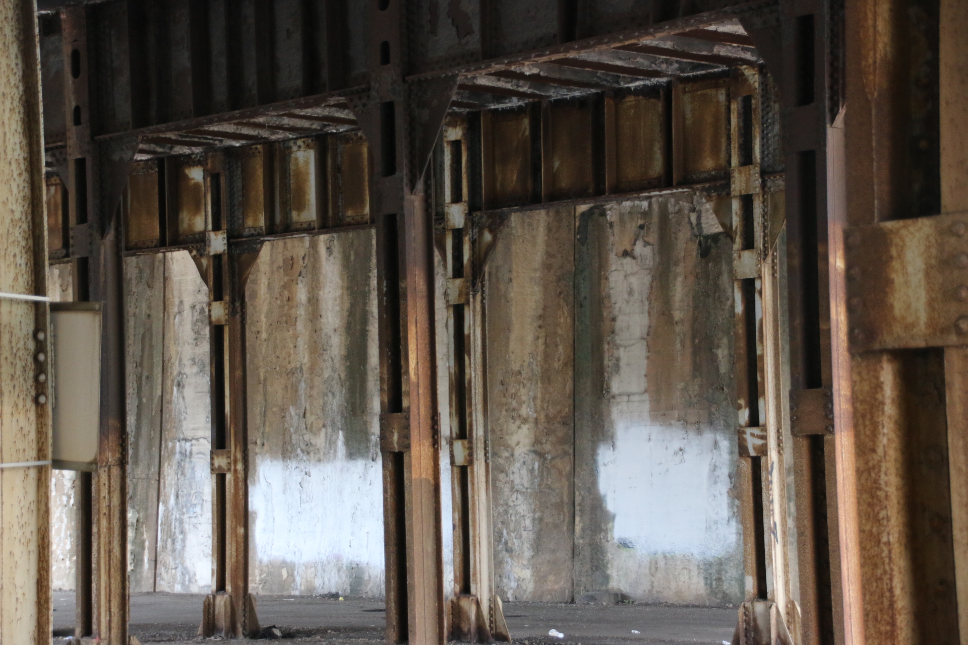
The fascinating thing about Chicago is that criss-crossing this glitzy, flashy, overpowering menagerie of high-risers is an infrastructure of century-old, flaking, steel bridges which carry vehicles over the river and around the city. If it’s not bridges, it’s the paint-pealed framework of pillars and girders that carries the overhead sections of the subway, its silver sardine cans trundling tight against the buildings that have been constructed so close to the track that one could almost drop in coffee to the passing carriages.


So some facts:
The tallest building, at 442 metres is the 110-storey Willis Tower, formerly the Sears Tower, built in 1974. Trump International Hotel and Tower is the second tallest at 423 metres when it was built in 2009. The view from the bar at the top of the fourth highest, the John Hancock Centre, is really impressive, particularly at night.

The entire city has over 100 buildings over 500 foot, 152 metres.

Chicago – the Windy City

Hello, everyone. I am here in Chicago visiting my daughter, Kate. She lives on the edge of downtown Chicago, high up on floor 26 which is an ideal place from which to get my bearings.

Stretching away from me to the far horizon, I can see through the gaps in neighbouring apartment towers, a toy town of miniature streets separating blocks of flat roofed commercial units, renovated warehouses, offices, multi-floors of dwellings and apartments. From up here there is nothing private, everything is out there and on show – the turquoise waters and lined-up sun beds of swimming pools, the balconies of apartments with their dolls house furniture all still praying to the sun and ignoring the fact that winter snows are around the corner. I can follow trucks and cars and Little People, fidgeting about the streets with purposeful intent going…..goodness knows where – work?

From up here I can watch the endless traffic on the tracks of the marshalling yards, six in one direction, three in another, bending and wriggling over and under each other. Two-storied, silver wagons are pushed and pulled about into convoys of shining transport worms before disappointing around the bend, sometimes four at a time are ringing the curves. This is all accompanied by the clanging of bells, the roar of diesel engines and the horn. Oh, the train horn. The sound of so many American movies. I can only be in the US.


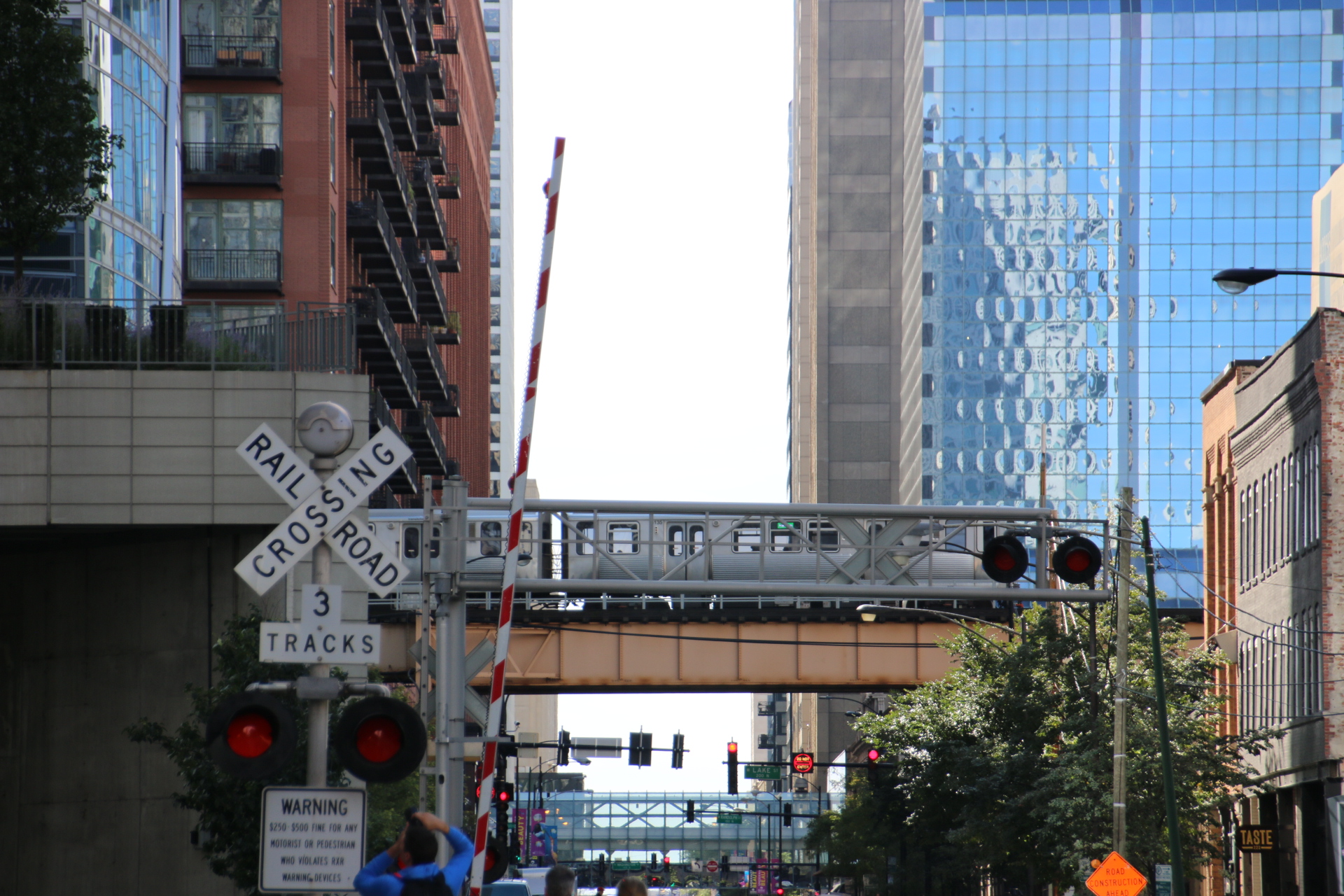
Down at street level the neighbourhood becomes real, the tracks curving around the streets, embedded in the tarmac with only the flimsiest of barriers cutting the progress of pedestrians and cars at the approach of a locomotive. Evidence of the railways is everywhere.

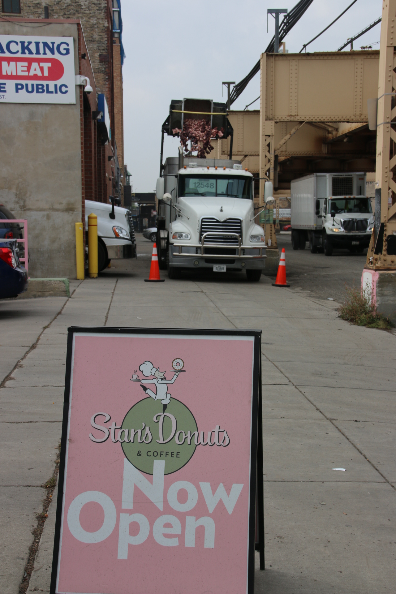
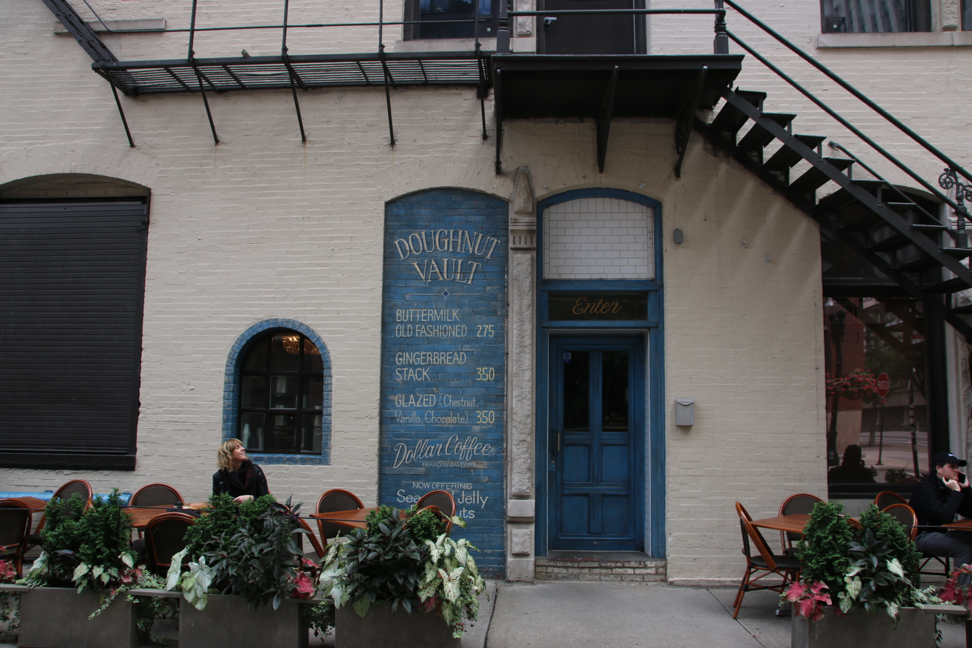
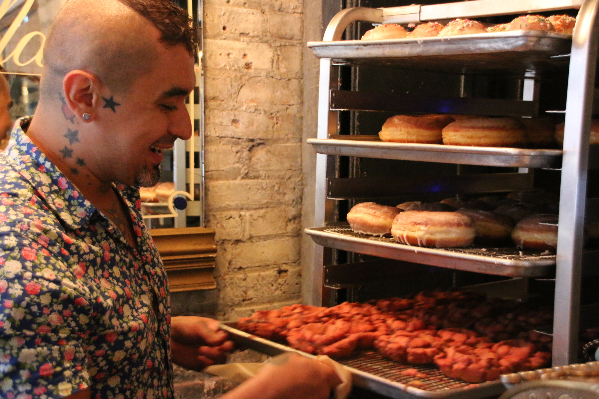
Let’s get out there. First of all a doughnut and coffee at the Doughnut Vault, open until they run out of doughnuts. Here’s Josai with his wares.

The Blommer Chocolate Factory is just that. Boy, does it smell good as you walk past. Pictures of Mr Wonka’s factory come right to the front of the mind. Imagine deliveries of liquid chocolate in wagons like this.


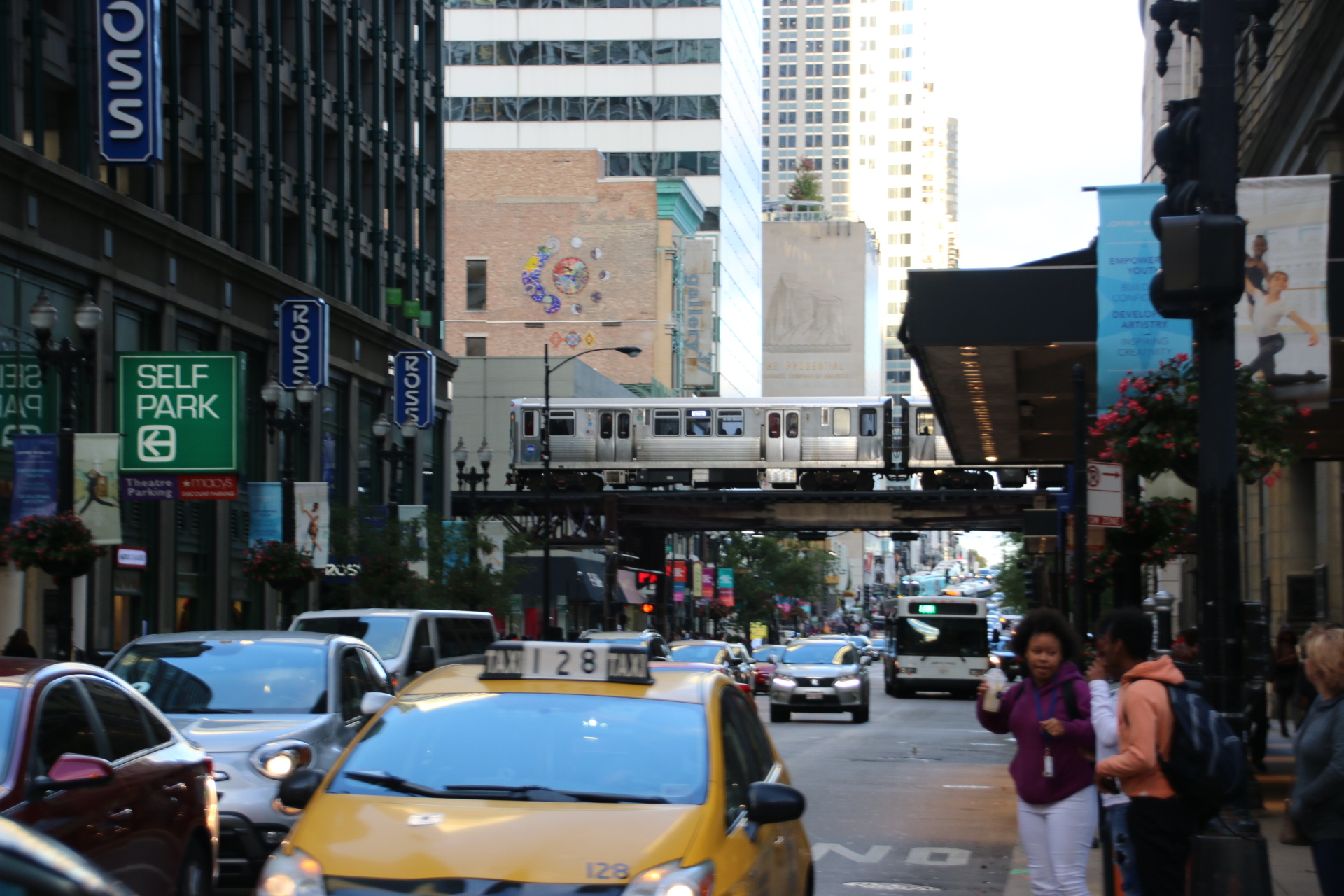
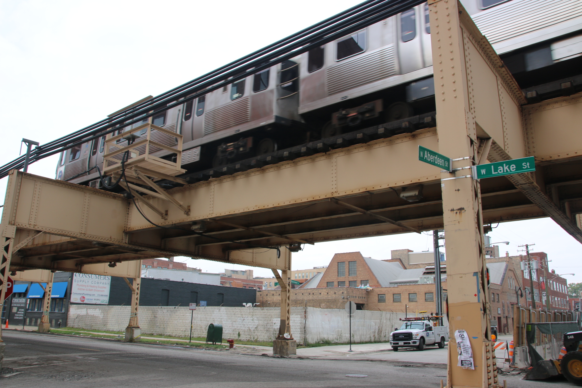
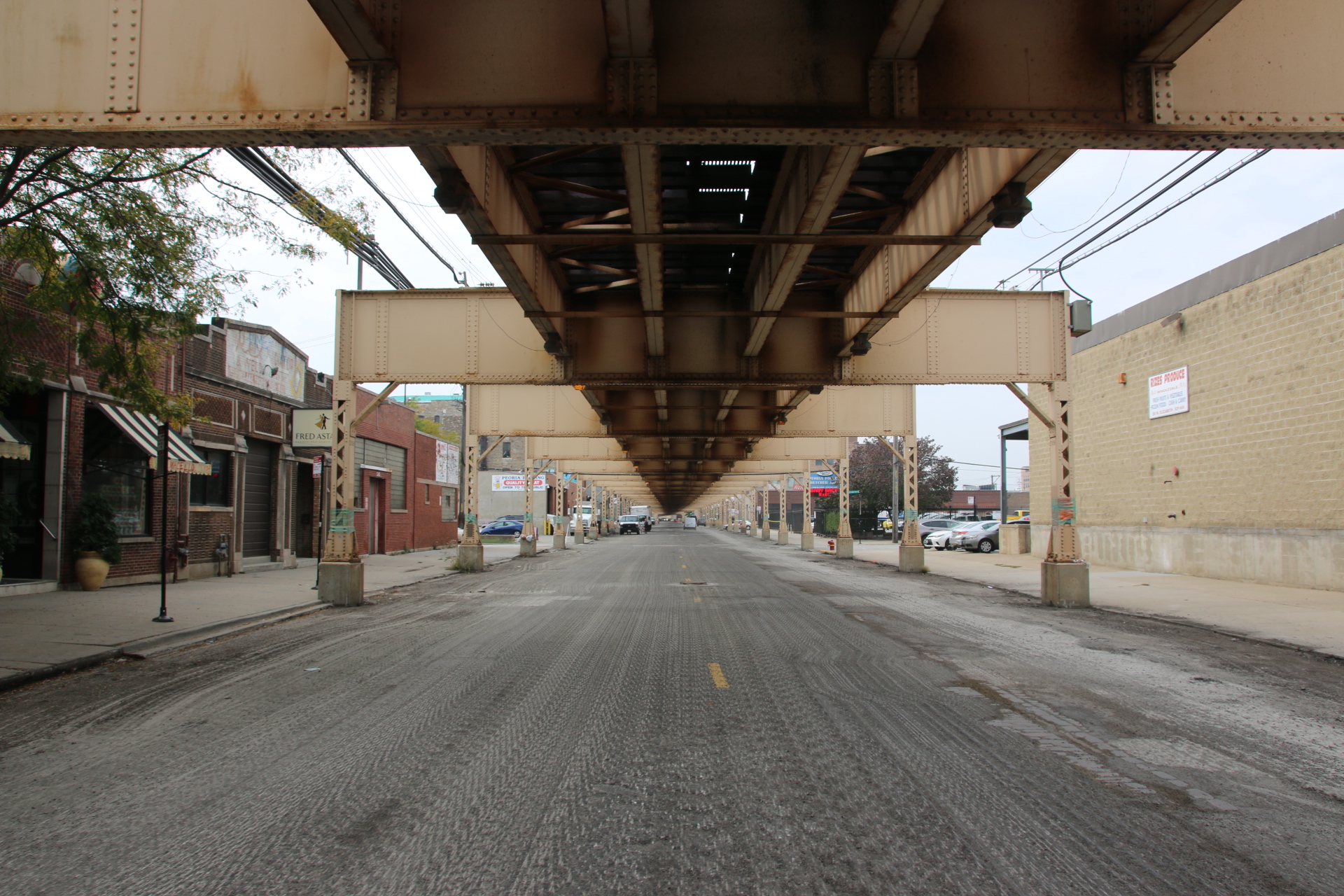
The Loop is Chicago’s subway system. Some of it runs underground, some of it runs on the ground and some of it runs above the ground, supported on a gantry of steel girders. It can be seen throughout the city. These images are within a few metres of the apartment.

So that gives you a flavour of the local community. I am off now to go further afield. Will catch up soon.

It rains in Bergen

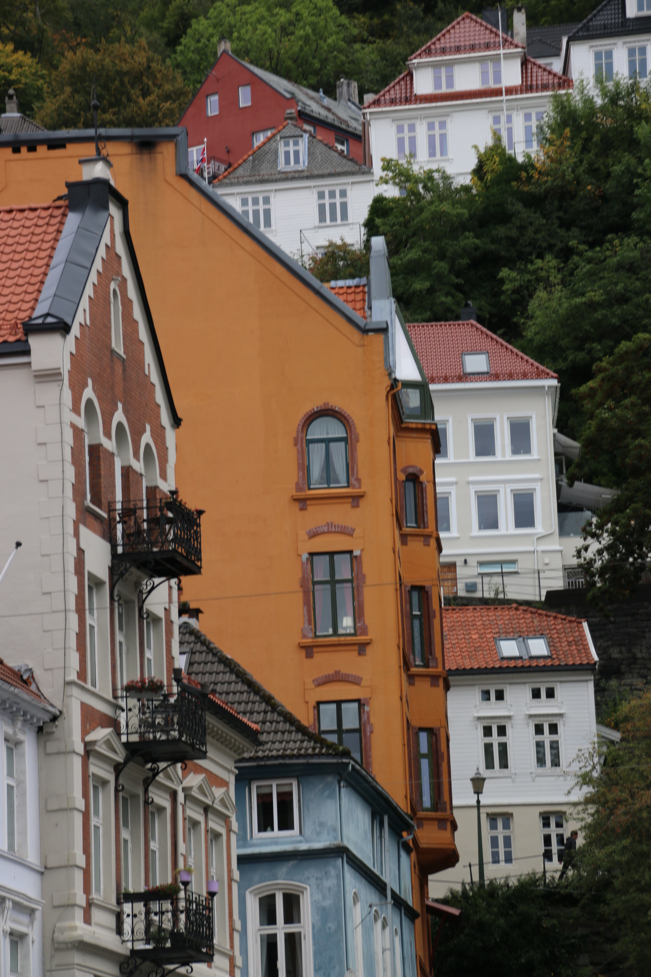
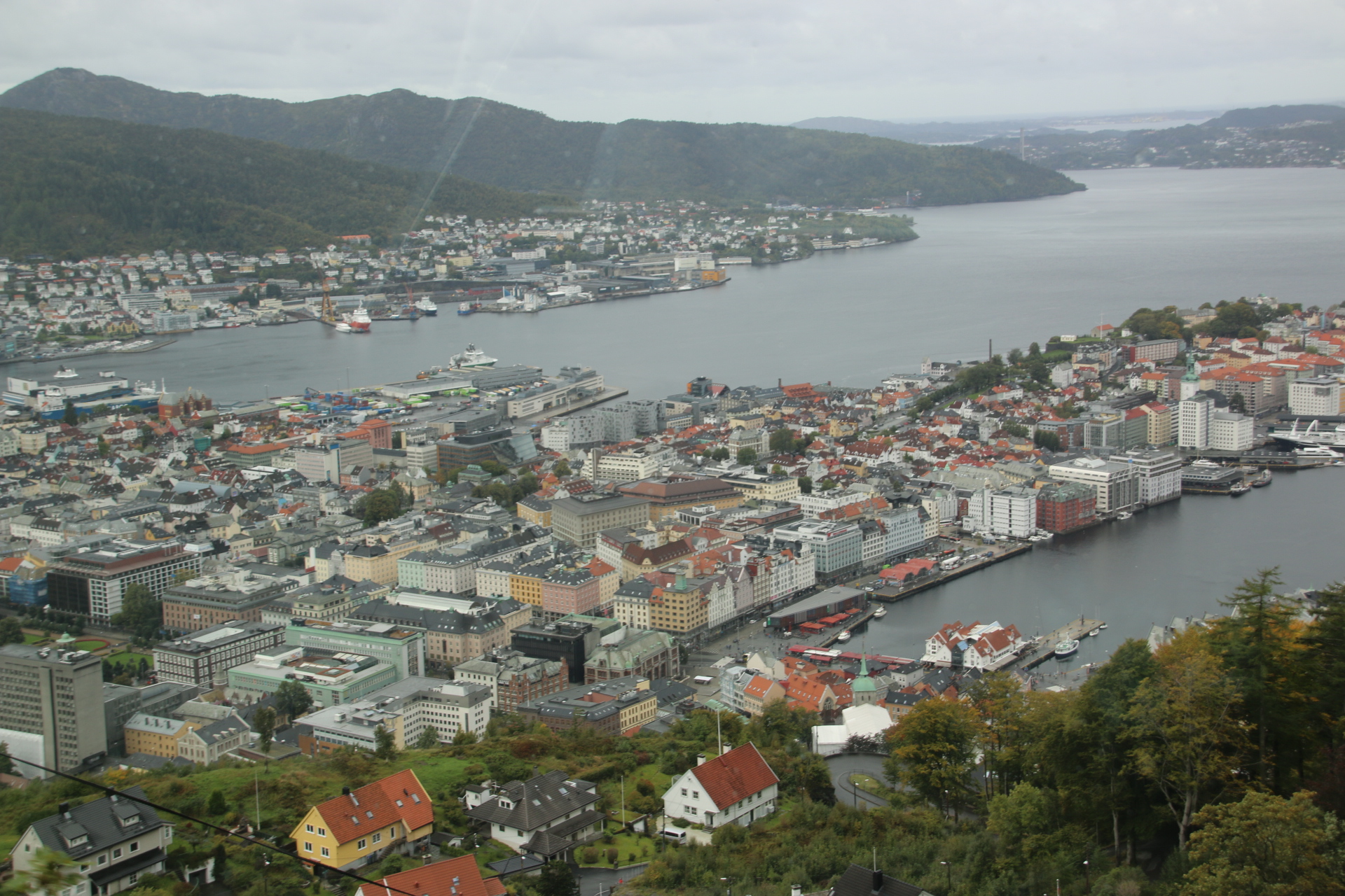
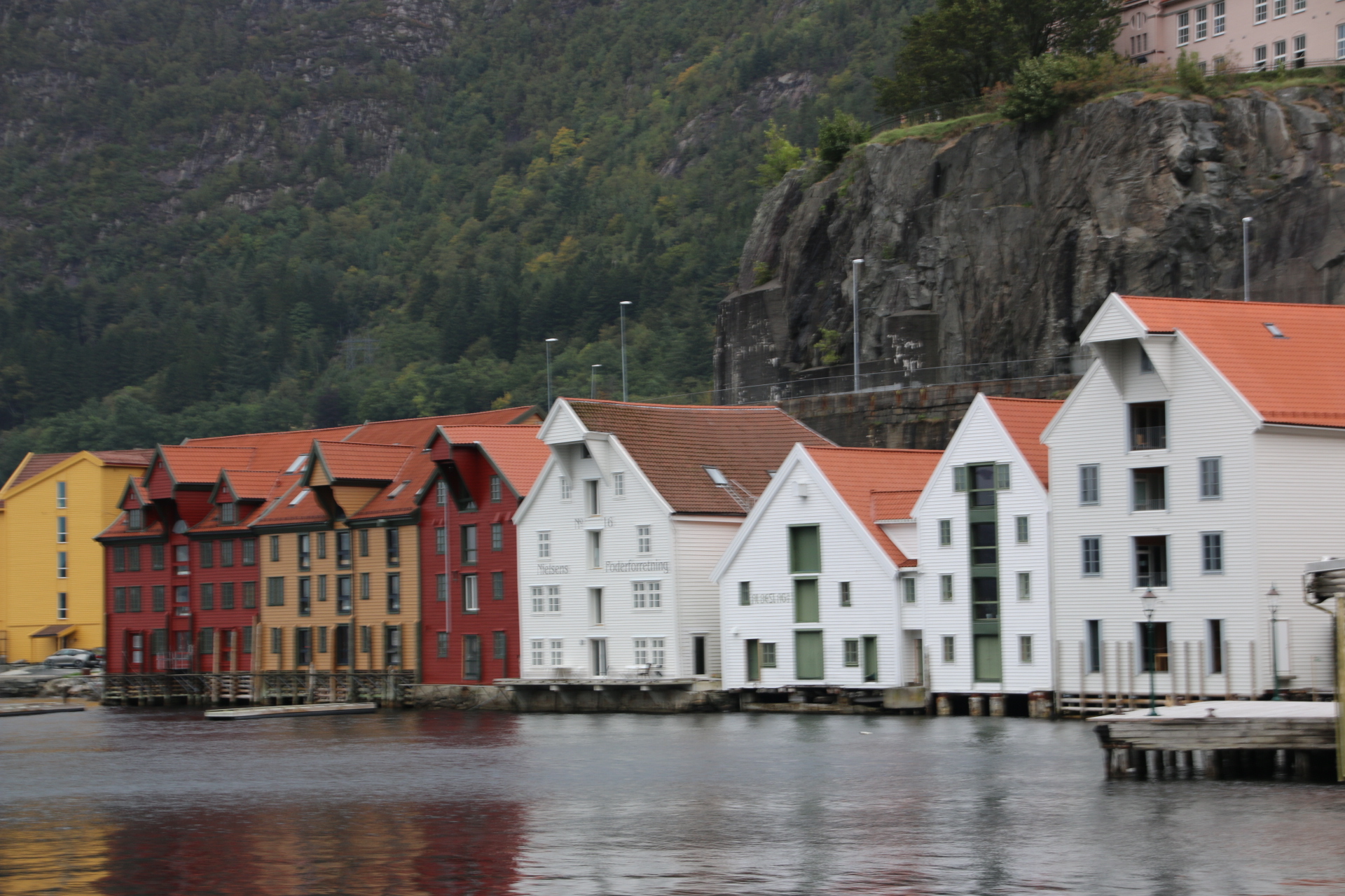
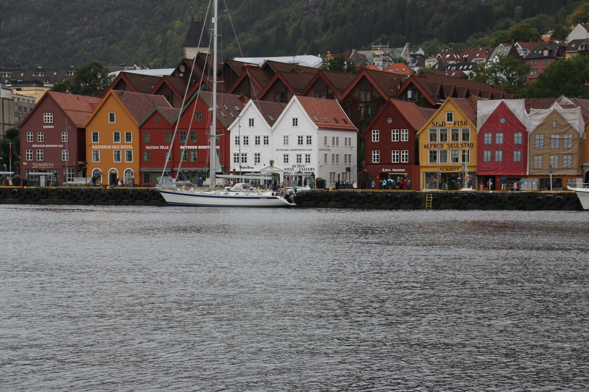
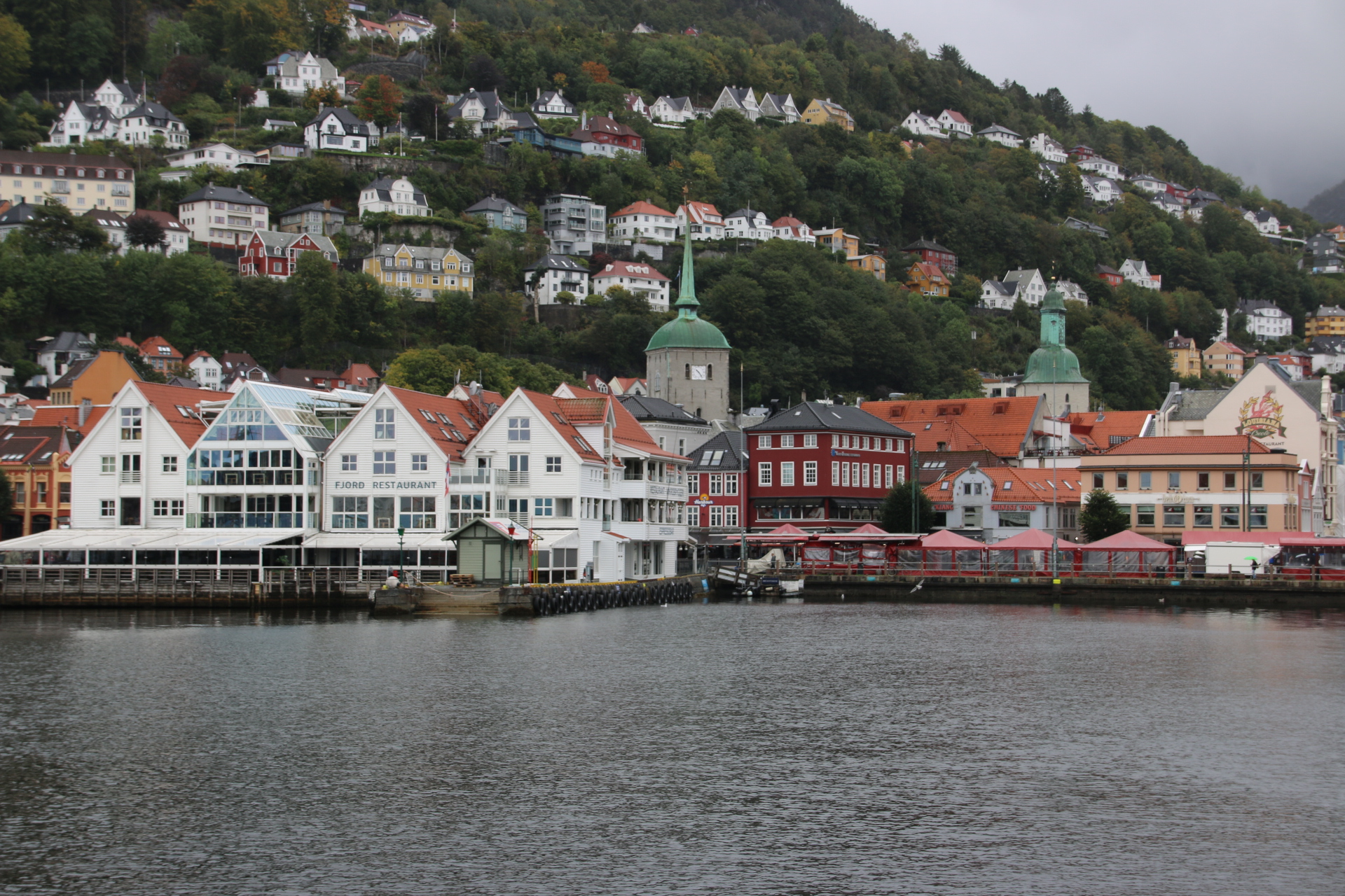
Statistically Bergen is one of the wettest cities in Europe. So I should be happy that those greys never really built up to proper downpours. it is Norway’s second city set on the coast where several fjords cconverg, backed by steep, forested slopes. The town’s history is based on trade and the sea and the old streets reflect the wealth of companies and individuals who grew rich here.

Ancient sailors and merchants can almost be heard on the timber wharf, Bryggen. The wharf dates from the 12th century although the buildings there today are around 300 years old, replacing those burnt down in a devastating fire in 1702.

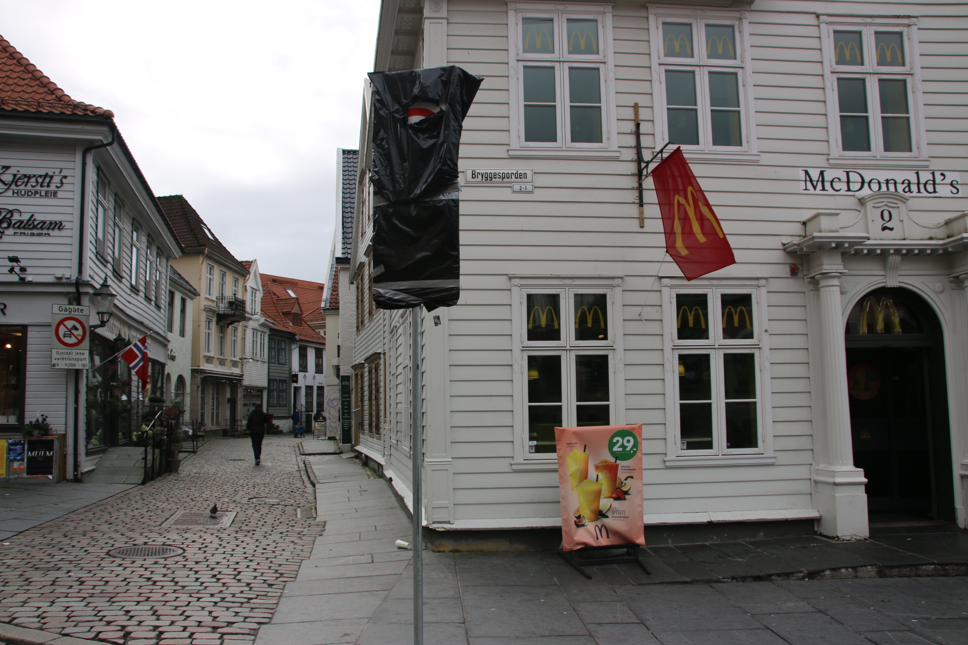
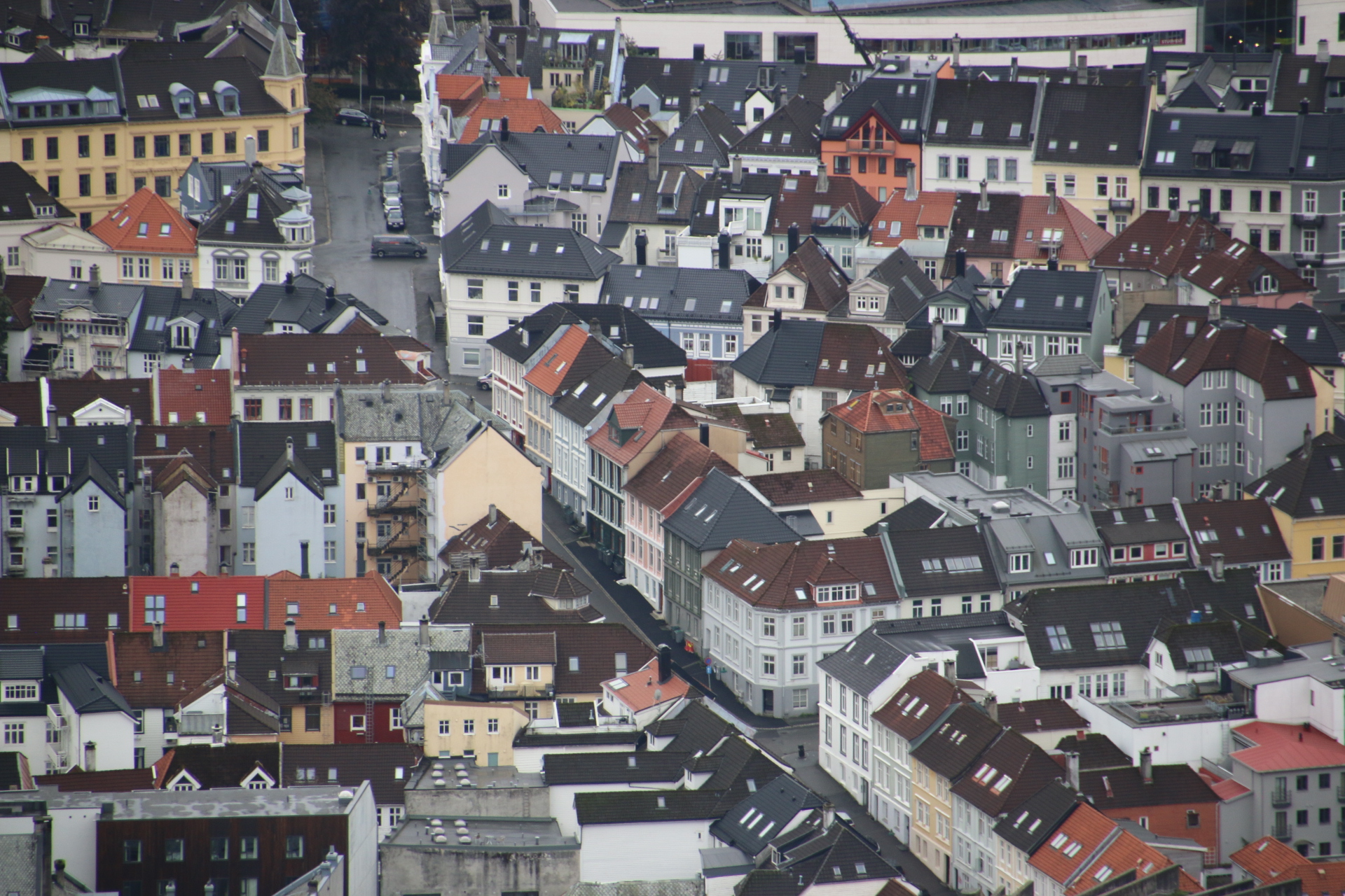
Behind this facade is the old town of narrow, cobbled alleys and white-painted clapboard houses. This is where the real business was done as indicated by the winches hanging from gables. German merchants from the Hanseatic League held sway here trading in dried fish and grain. Homeowners showed off their wealth by painting their homes and warehouses white. White paint was really expensive to produce and so it was an indication of being up there with the rich and famous.


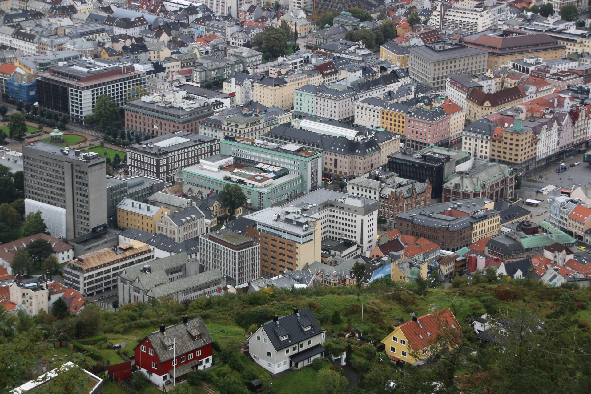
The position of the town can best be seen from the top of the Floibanen funicular on one of the seven mountains that surround Bergen.


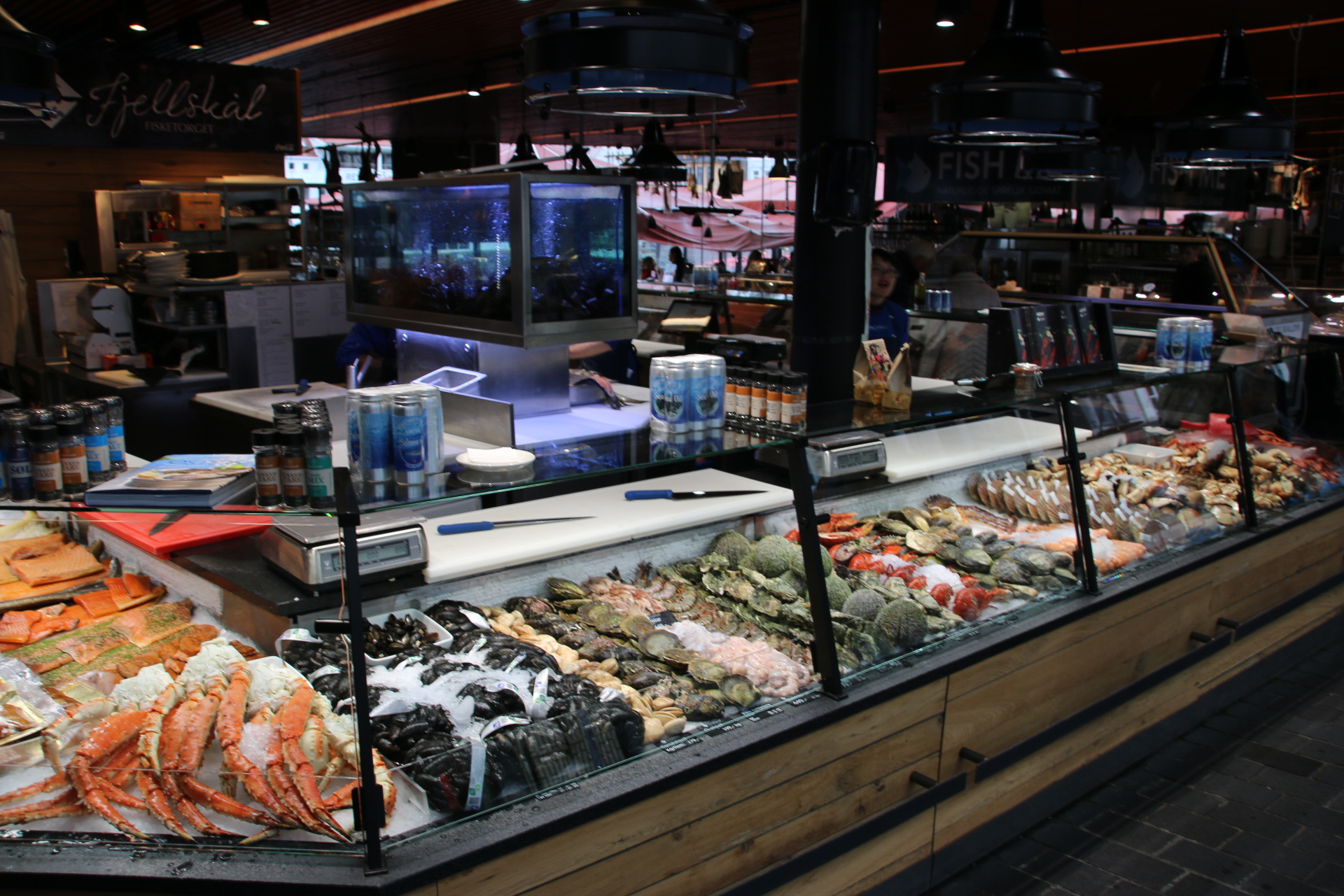
Bergen’s fish market is a wonder. Open every day, you can eat every type of fish, shellfish, smoked fish, even whale meat (if that is PC). Plukkfisk is a traditional local dish of white fish, mash and bacon.


It is true, Norway is slightly pricey compared with…..practically everywhere else. I have to share: when asked about the location of the nearest public toilets the bus driver explained where it was and when pressed about the need for coins, advised that a credit card was required to gain entry. The cost of a pee is 10 krone – £1! Goodness knows what you do if you do not have a credit card. It will be good to get home to where I can ‘spend a penny’ or is it ‘a 50p’?


Norway in a Nutshell

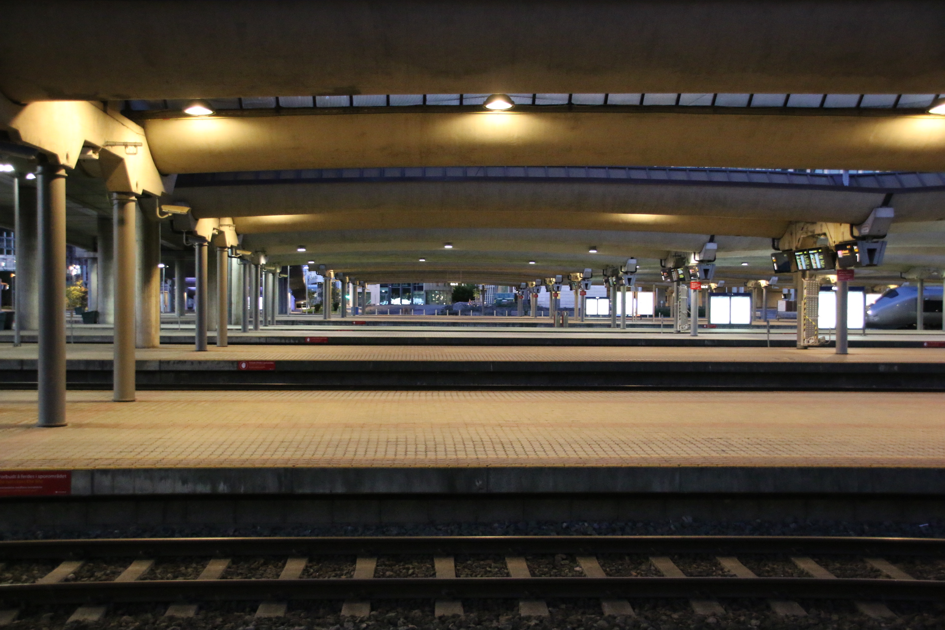
It’s up very early today and down to the station to catch the train to Myrdal on the first leg of the journey to Bergen. This journey is rather special. It is called Norway in a Nutshell and takes 13 odd hours involving trains, a bus and a fjord cruise and some time on the famous (!!) Flam railway down to Bergen.
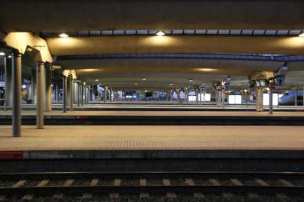

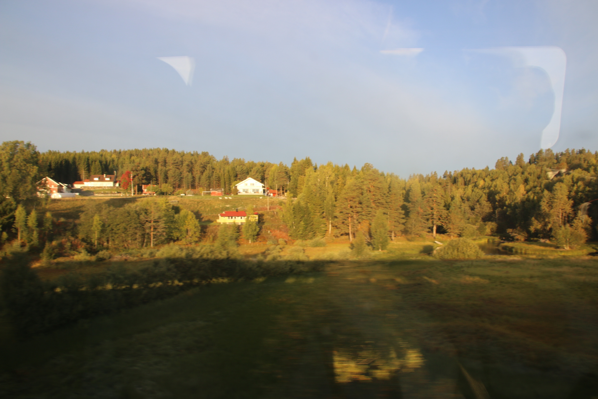
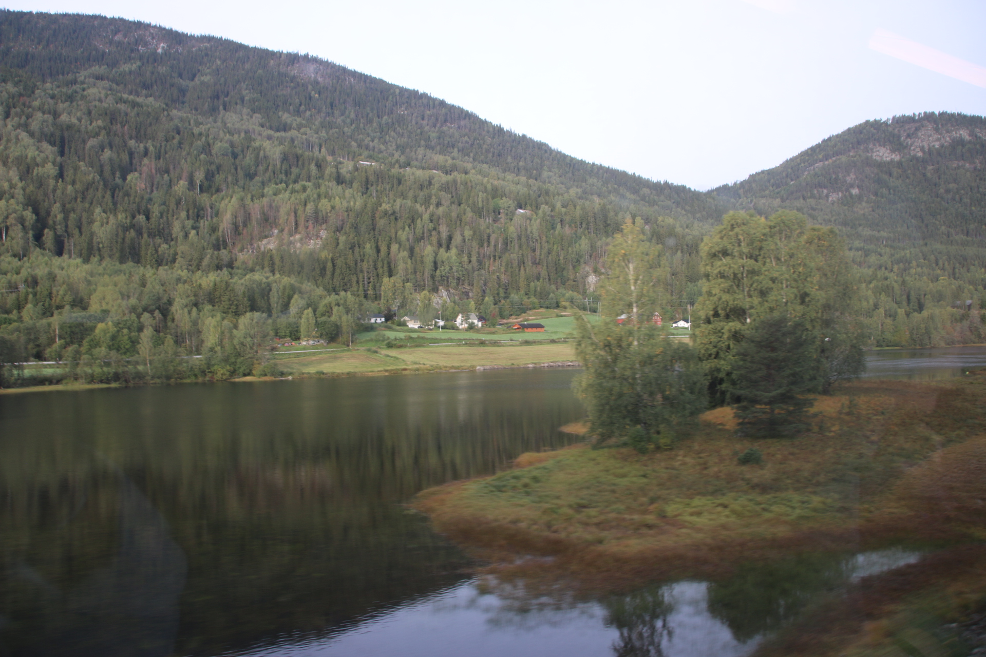
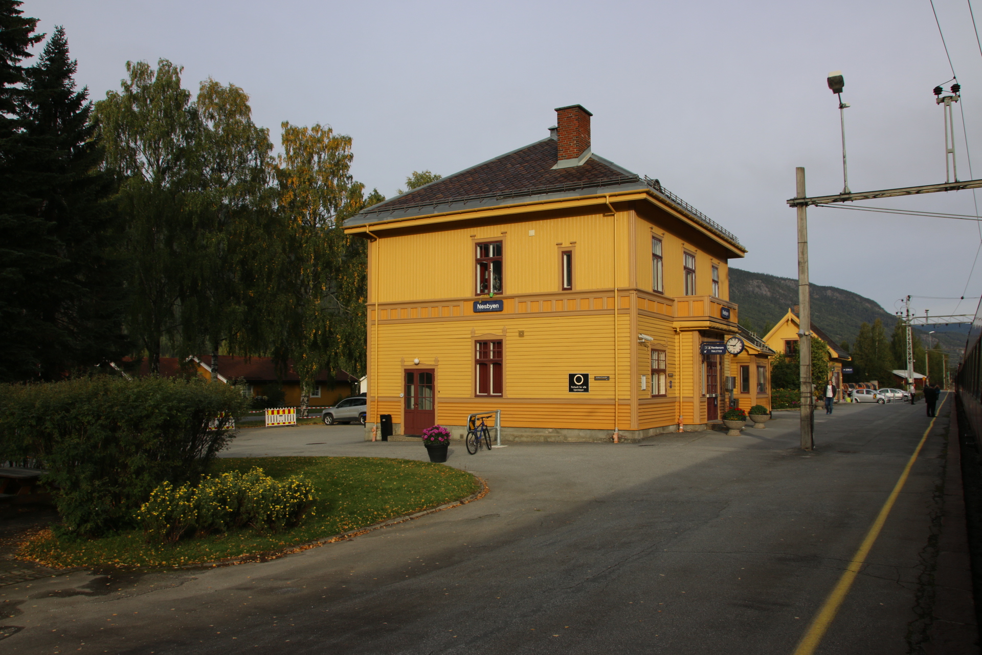
So the first leg is the service out of Oslo, leaving punctually in the darkness at 0625. As dawn comes up the tall suburbs of Oslo fly pass, occasionally interrupted by scenic fingers of water, a river, a lake, its banks dotted with the yellows and reds of painted houses amongst almost-turning trees. Tunnels certainly help. The train disappears leaving an urban landscape outside, only to emerge after 5 minutes or so into another scene of open countryside and wooded valleys. Small towns appear and disappear, giving way to increasingly larger tracts of farmlands with forested ridges and scarps behind.


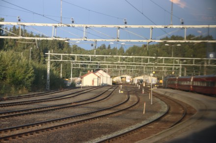
About a dozen towns of reasonable size come up, one at a time, on the flat valley floor every 10 minutes or so as a reminder that man has tamed this landscape and uses its resources, mostly timber from the higher ground, in a responsible way. This leaves the flatter areas free for building and agriculture, linked by the tracks of the railway and the tarmac of the road beside it; two buddies, side by side, linking human communities, sometimes together, sometimes splitting to opposite sides of the river.

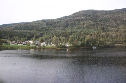
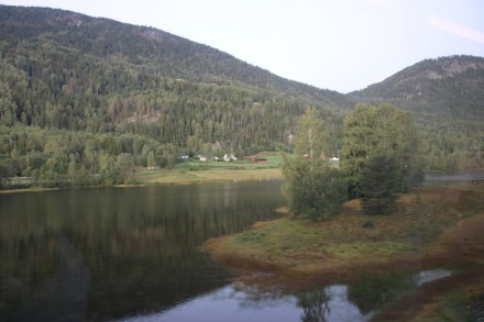
Increasingly wilder mountain scenery squeezes in on either side. Bare rock and clumps of pine hug the tracks to the left, an islanded string of a lake hugs the right. The water cuts the easiest route for the railway and the road to follow through the heights, its presence given away by clinging tendrils of wispy clouds.
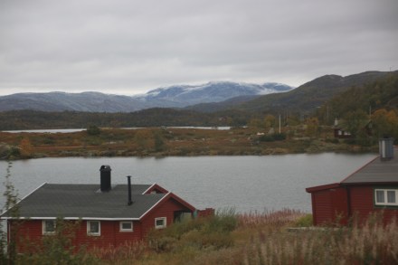

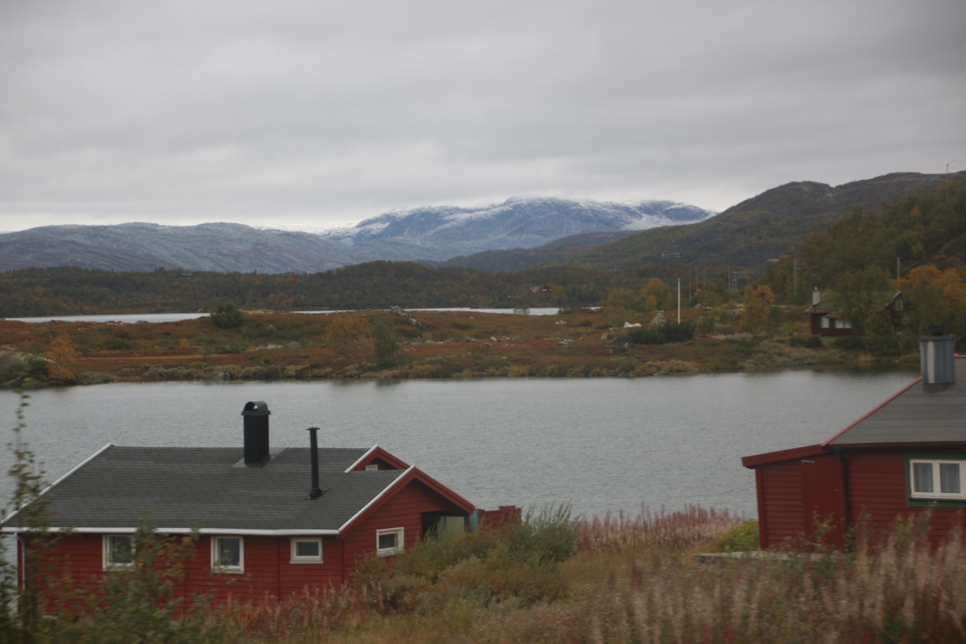
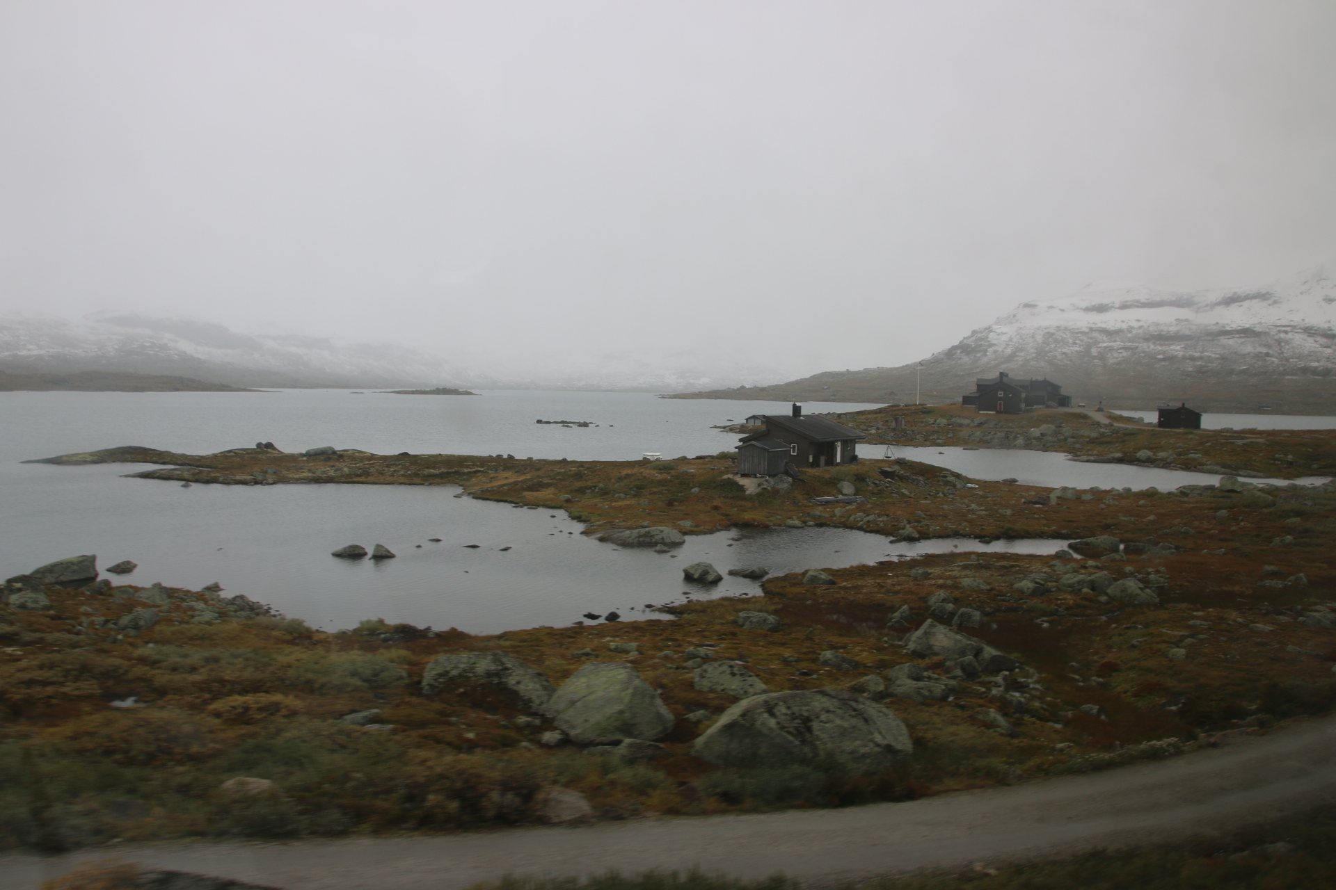
As we climb, one station to another, the temperature drops, unravelling on the landscape. At 7° the leaves have turned and the landscape is transformed from green to yellow. A further drop of 2° sees us at 1,200 metres and another change. Trees have given up entirely and left the mountains naked, their crags and rocks openly on display.
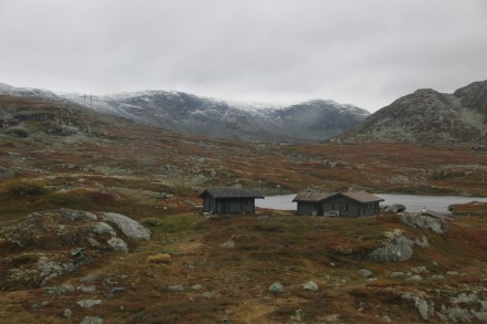

I am trying to take pictures to give you an impression of this journey. This is rather hard as not only are the windows filthy, but the perpetual curtain of pine or scrubby bush or tunnel only occasionally and suddenly draws back to provide fleeting and urgent views of the landscape.

So we arrive at Myrdal, high up on the high mountain plateau where many off us change trains for the journey down.

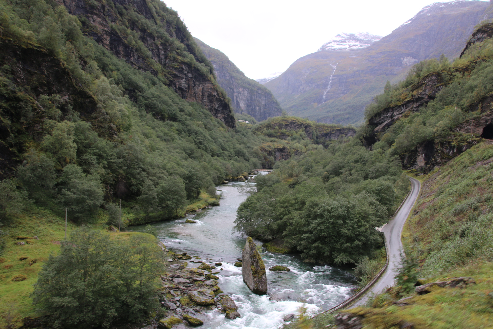
It is then a 1 in 18 gradient descent through the wild Flam valley to the village of Flam itself, on the Aurlandsfjord. This branch line has 20 tunnels, 18 of which were built by hand. On the way down, fantastic views of the valley can be had and its wonderful walking/skiing terrain complete with many waterfalls, rushing torrents of rivers, goat farms and a range of colourful settlements of different shapes and sizes.
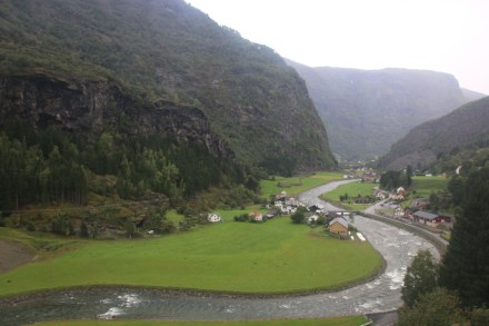

At the bottom the clouds have come down and it all feels very damp and grey. This joins up and the drizzle gets heavier, turning to a perpetual wet rain. The boat is waiting for us.

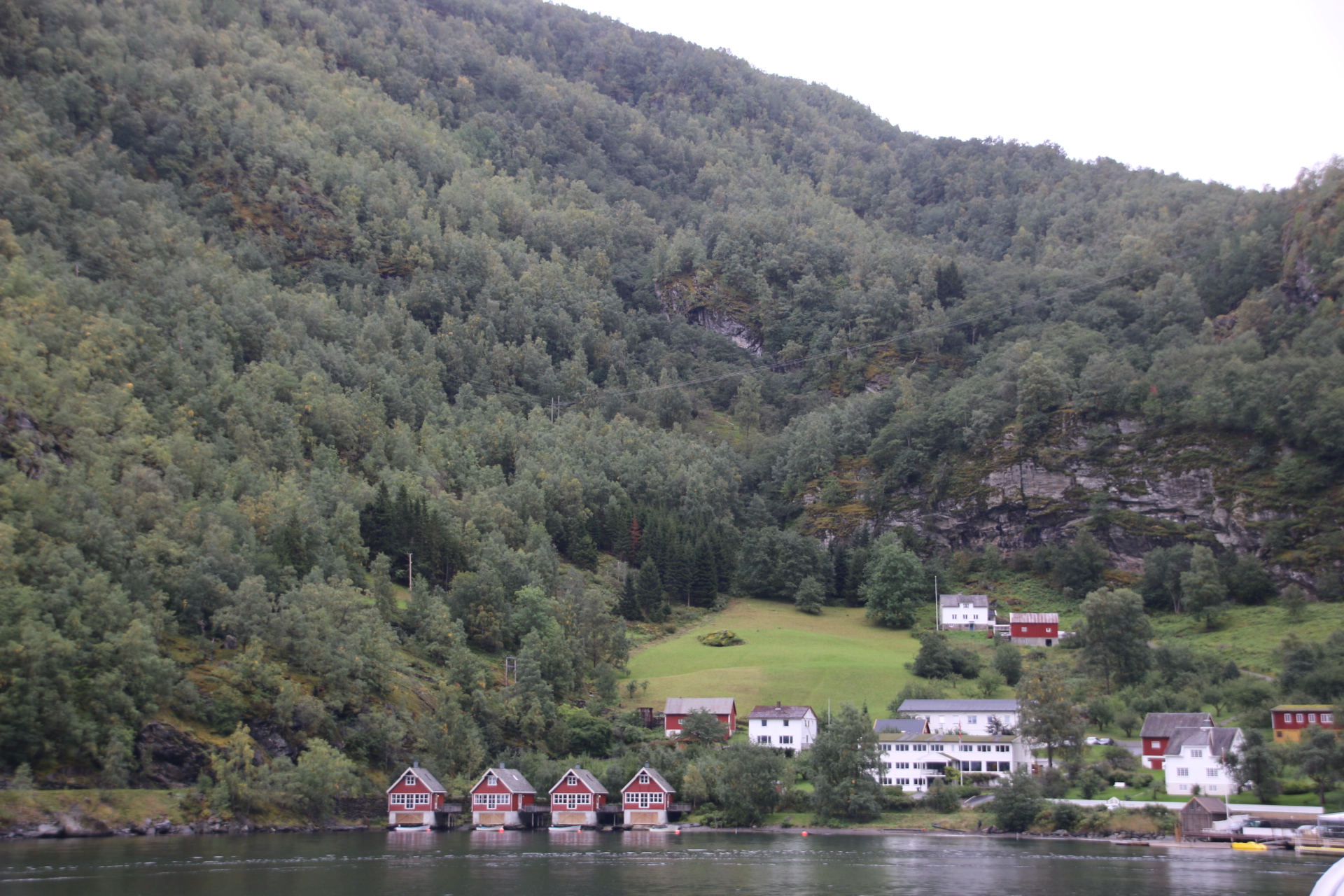
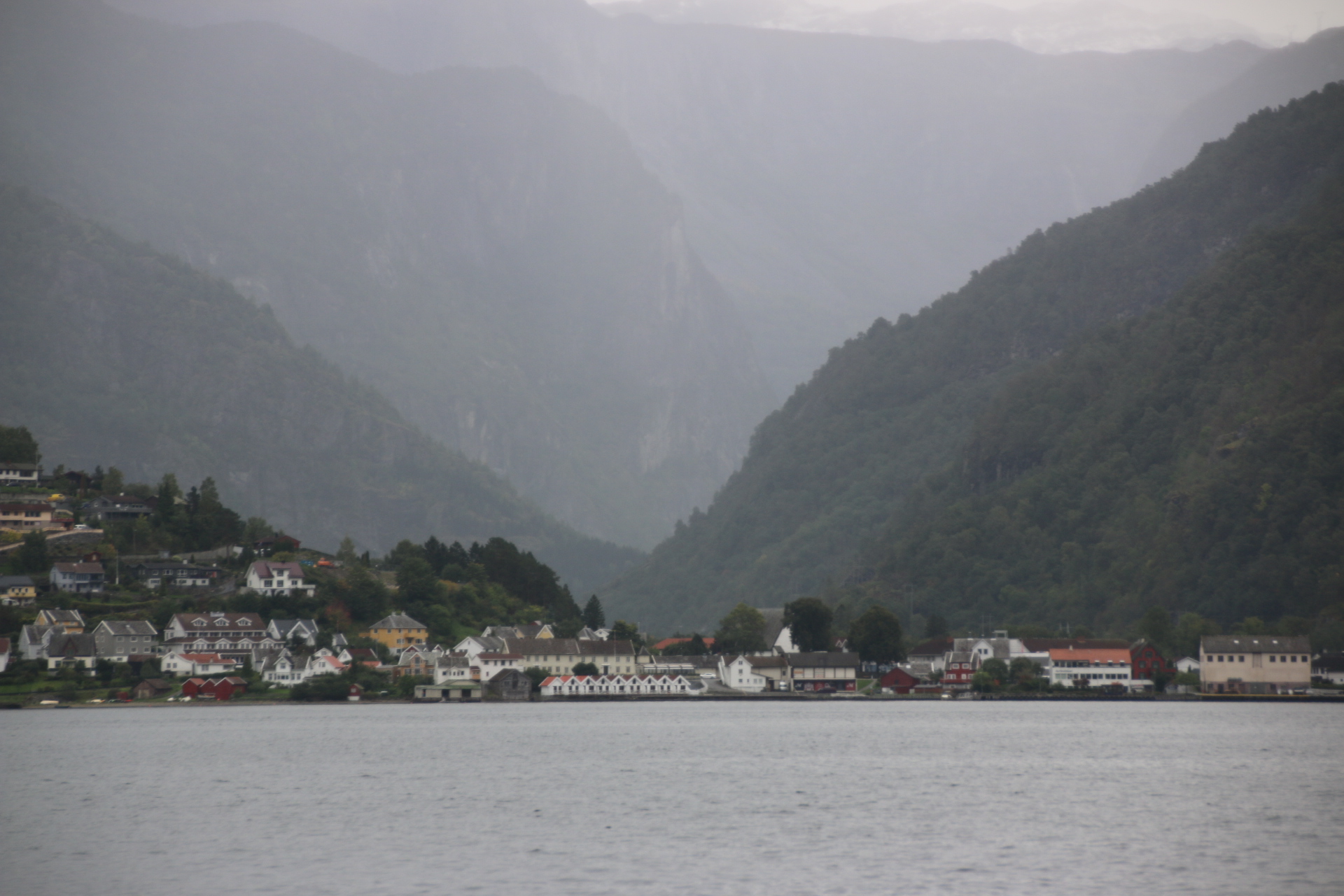
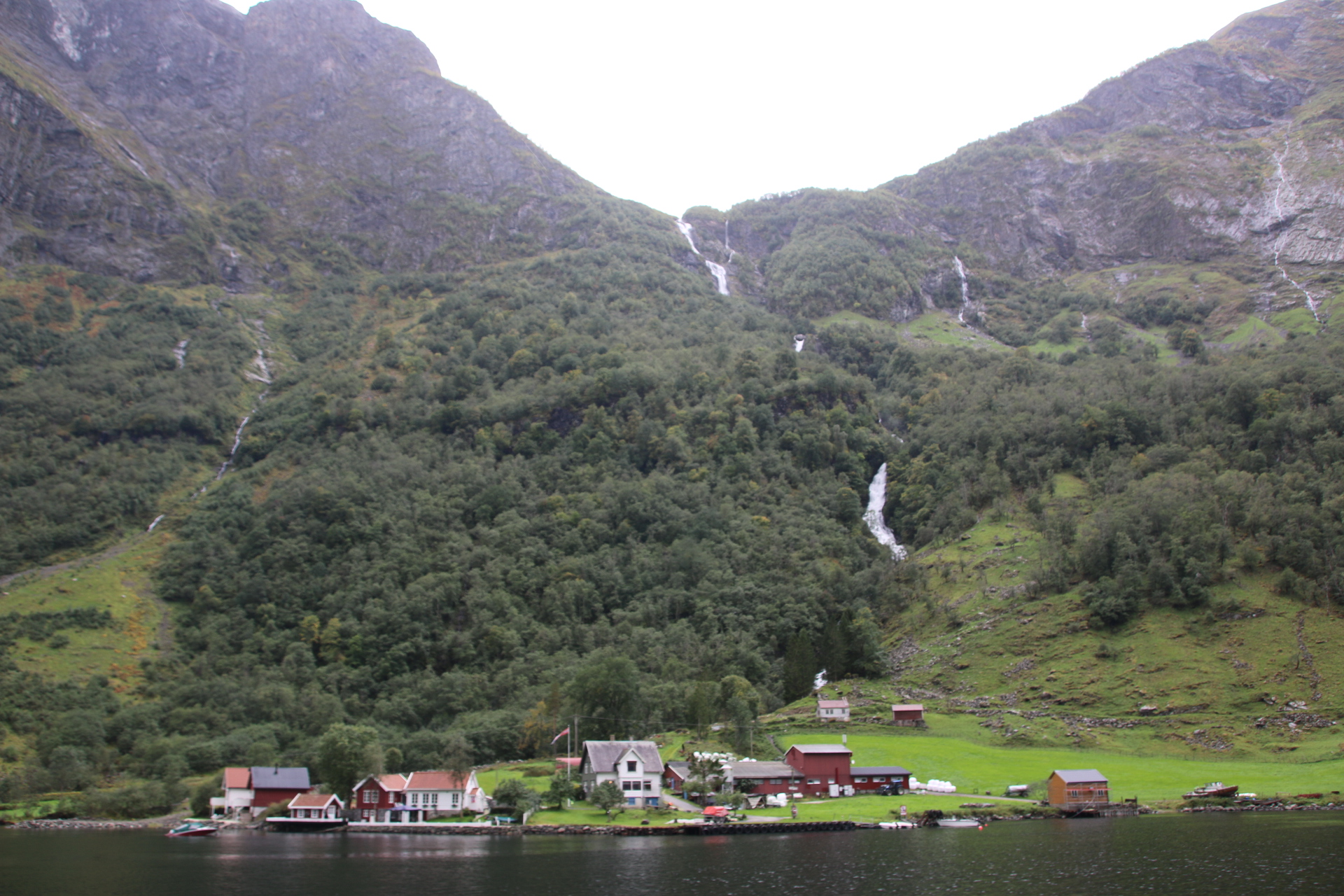
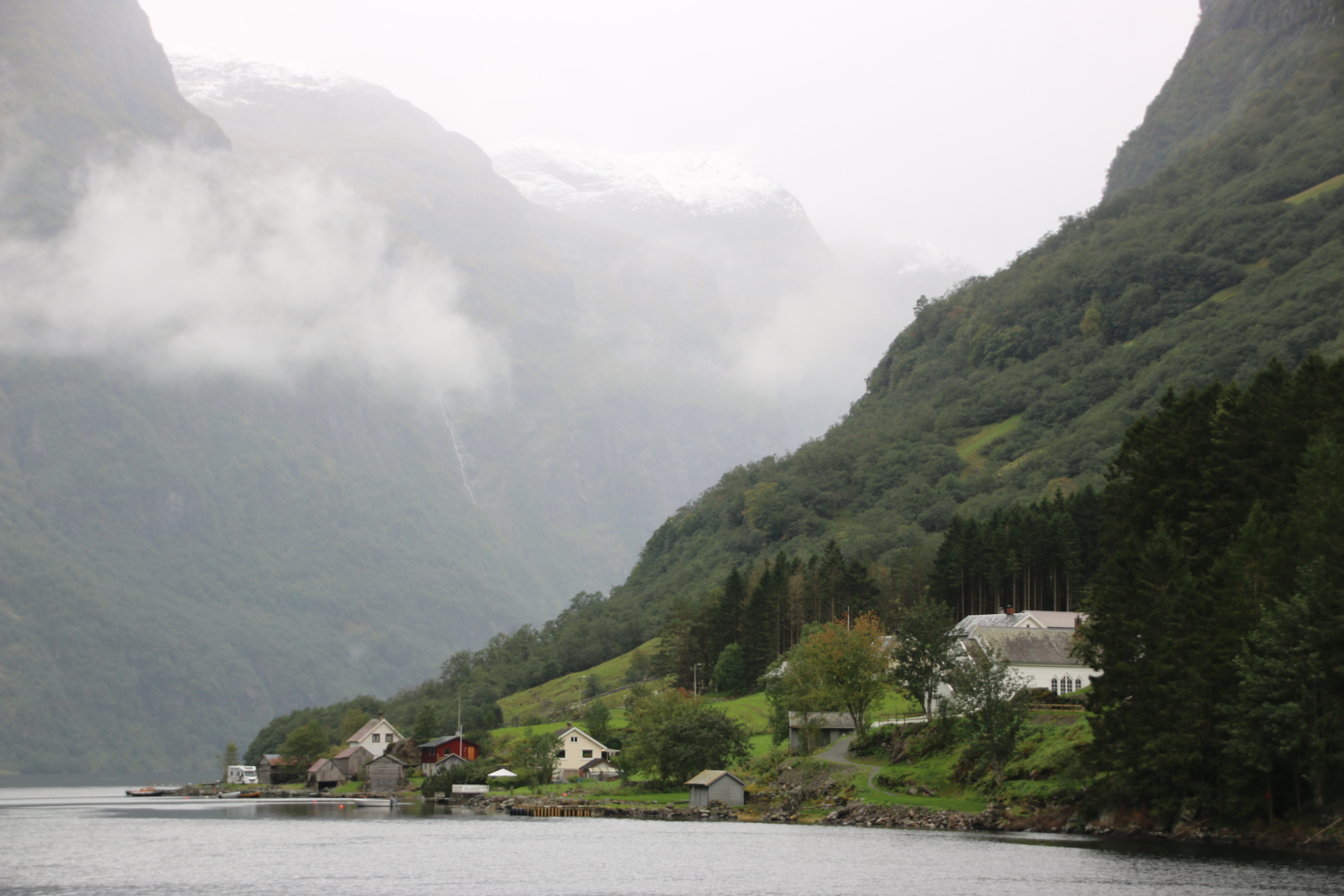
The elements give the chug up the fjord a mysterious, rather heavy feel. A few isolated settlements huddle on their patch of emerald green at the fjord’s edge, dwarfed by mountains and glaciers that blow down their covering of mist and cloud to squash the houses in an eerie gloom.
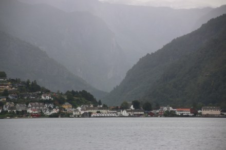
All of this is a preamble to the next leg. Having seen all this from a distance the bus now takes us up close and familiar on the road to Voss train station – up close to roaring waterfalls, shooting rapids, rushing rivers and familiar with homely farmsteads, brightly painted homesteads and shaved, stubbled fields. Sadly the rain is now proper rain and the windows are so covered with spray that they shield the views from my camera so you’ll have to take my word for it.

The 1741 train to Bergen is the final leg. It arrives and leaves on time as every mode of transport has done during the day. The trip has been true to its title – it really has been Norway in a Nutshell and well worth it. I hope you enjoyed the journey.

The sunny side of the Oslo marathon

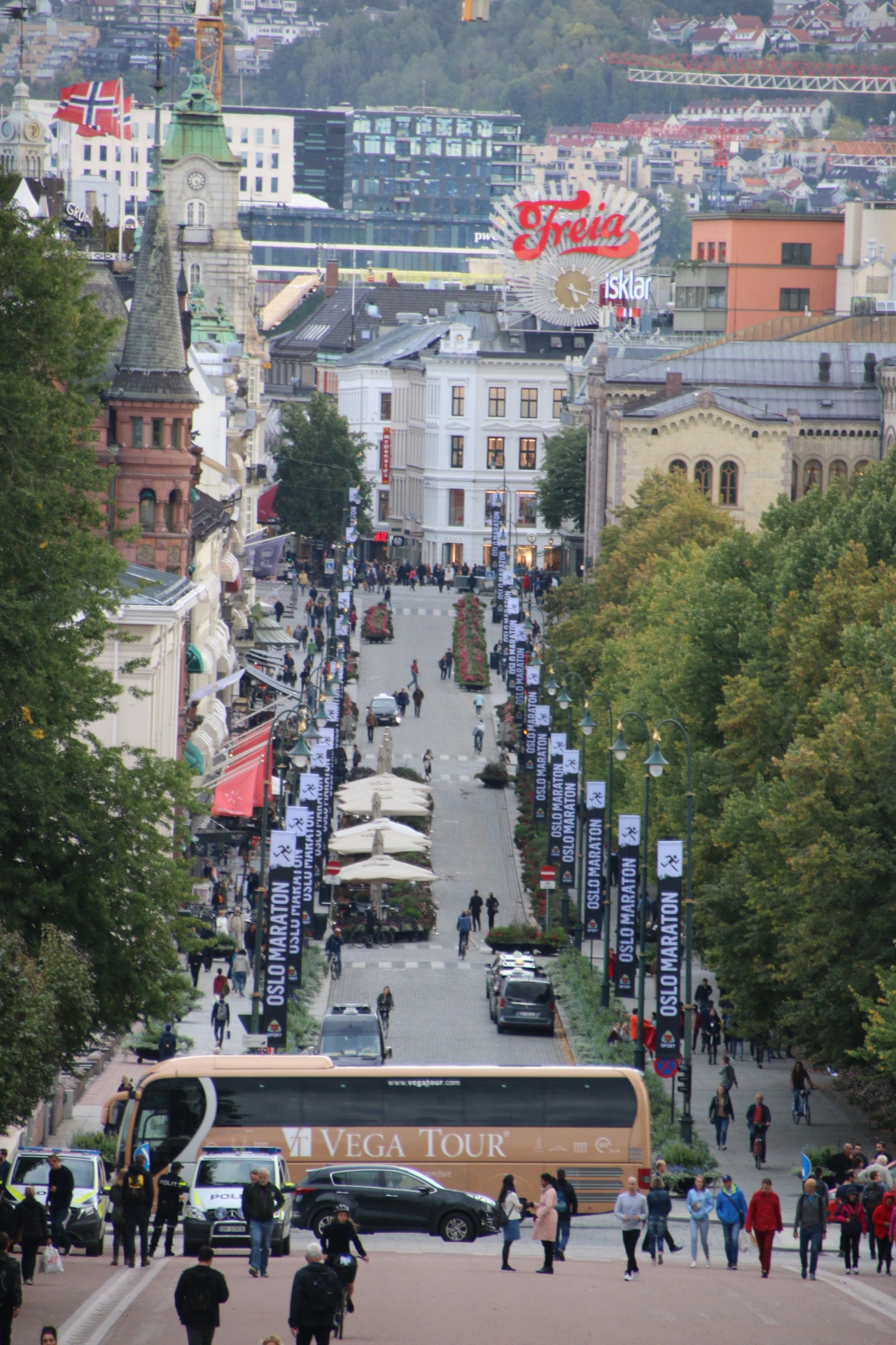
Woke up to a glorious day. Had lots of plans about grabbing the ‘hop on’ bus to museums only to be disappointed as it wasn’t running from the centre because all the buses and trams had been diverted due to the running of the Oslo marathon. Curses!

But a blessing in disguise. Walked down to the docks area and, over coffee at the Nobel Peace Museum, reassessed the day amongst the starters and finishers.

A two hour trip around Oslo fjord in a rigged schooner is advertised. Yep, that’ll do fine. Didn’t want to be indoors in a dusty museum anyway.

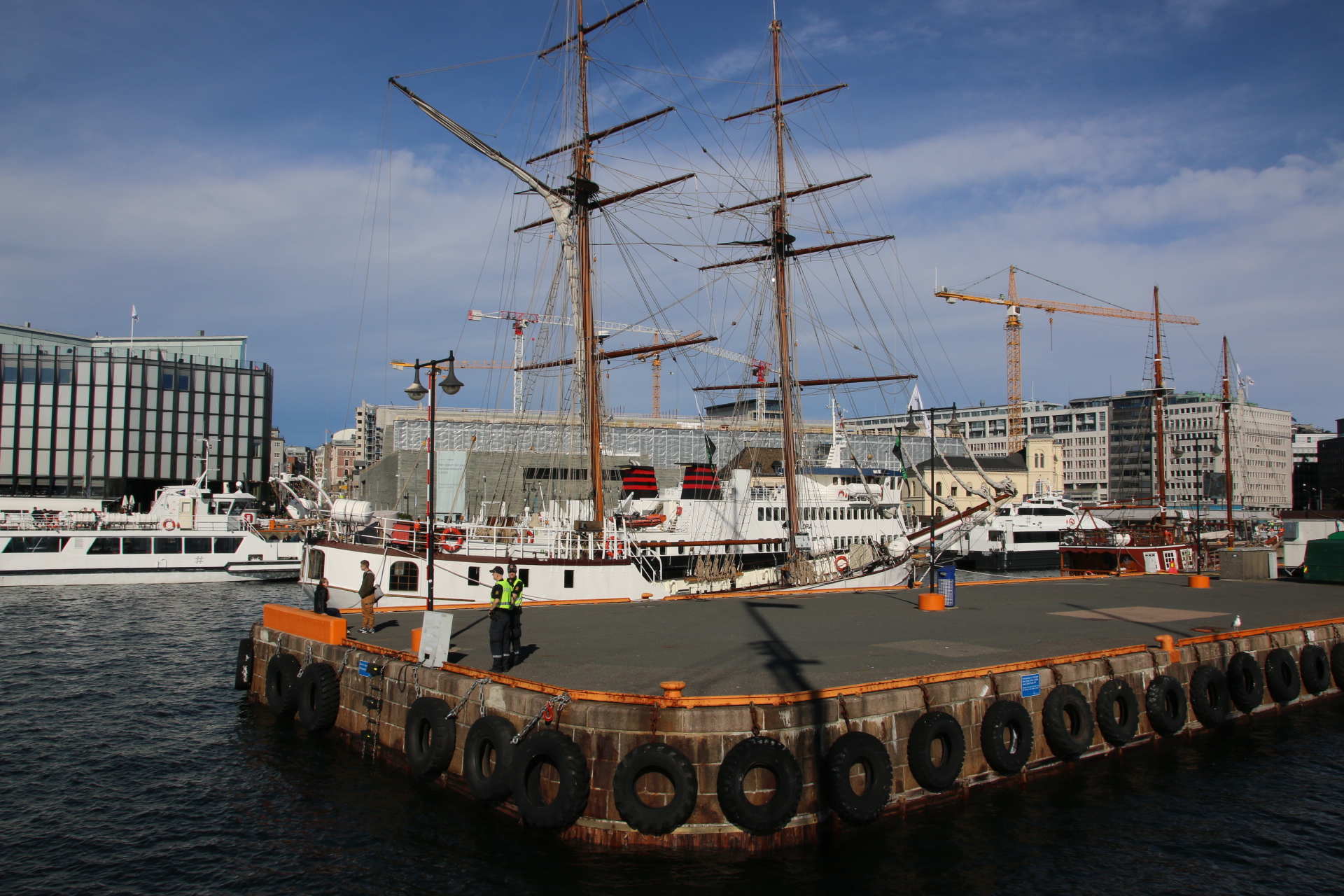
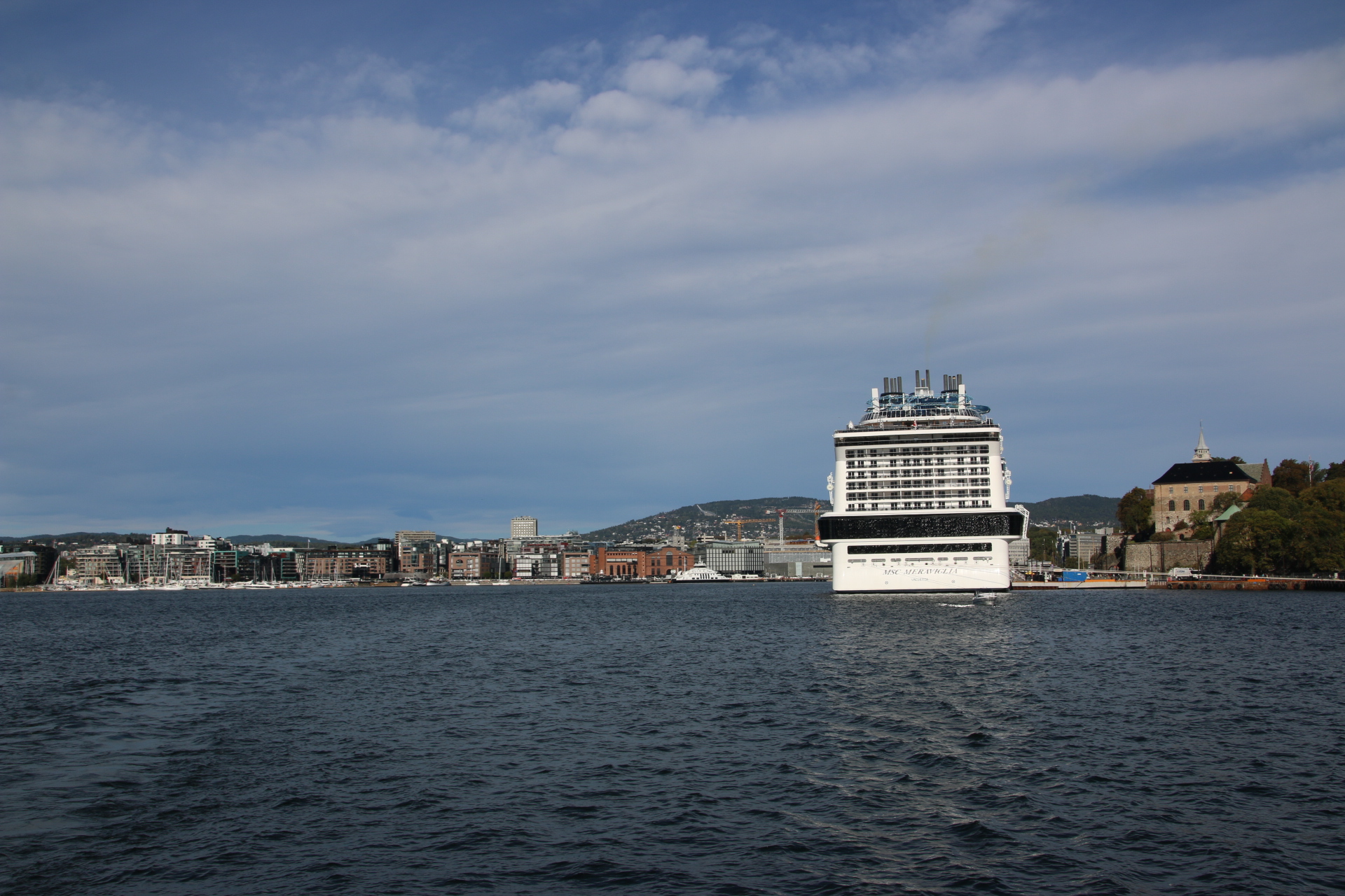
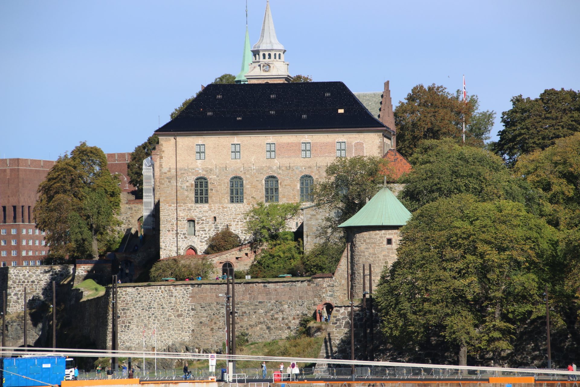
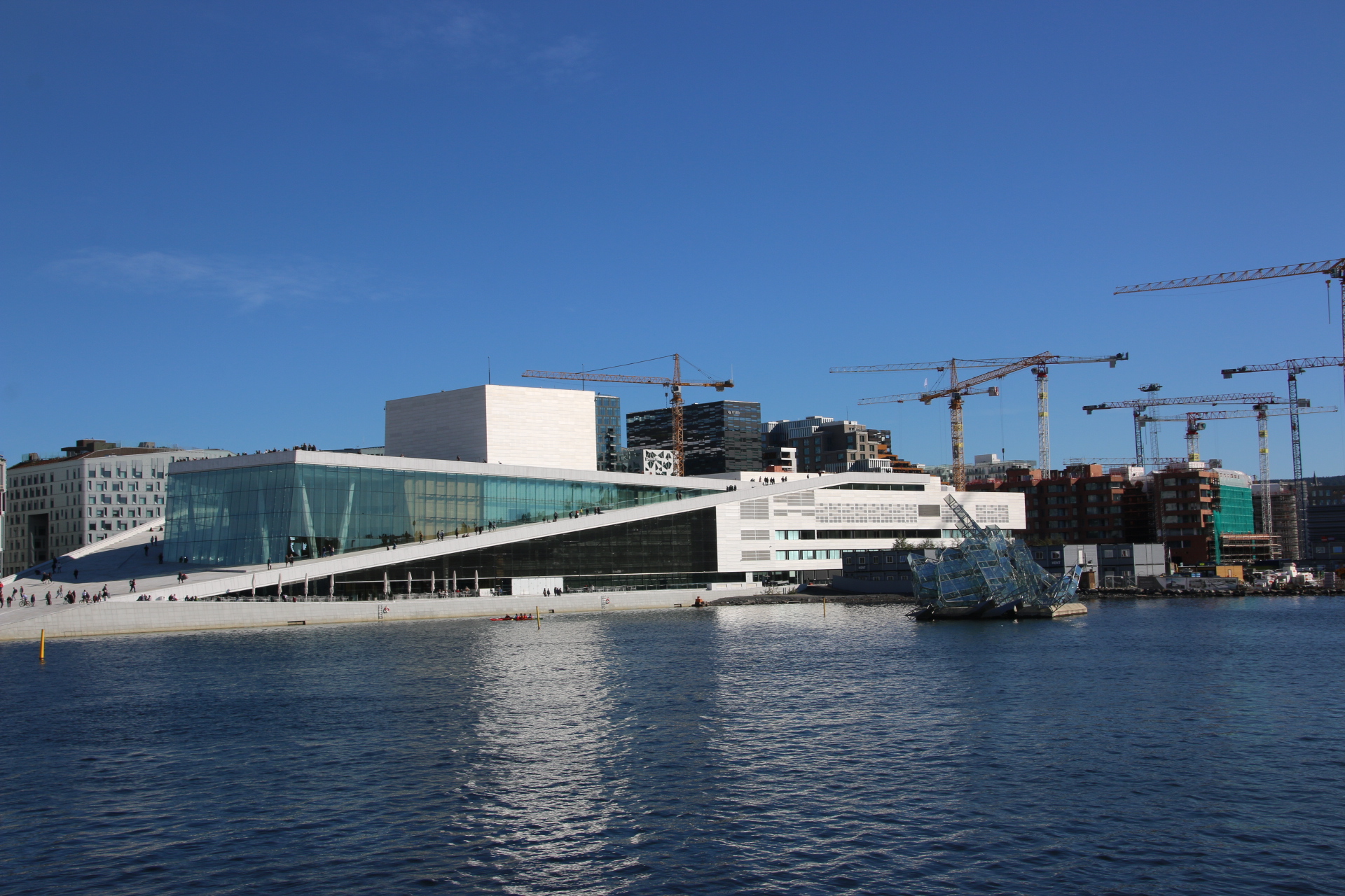
Around the harbour to take in the fort, the dockside developments and the wedge of the new Opera House.


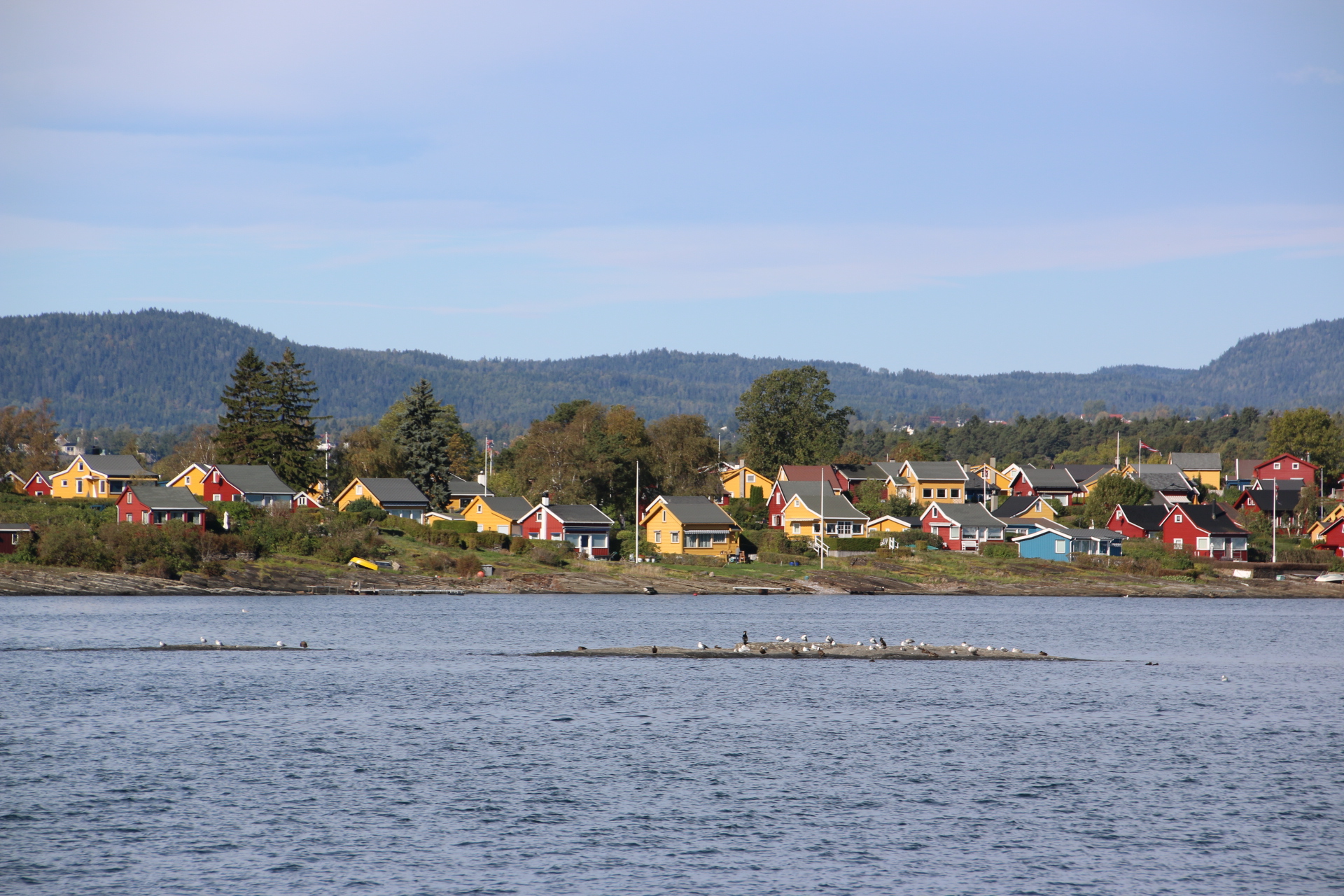
Then out around the islands with their colourful houses amongst ready-to-turn foliage.


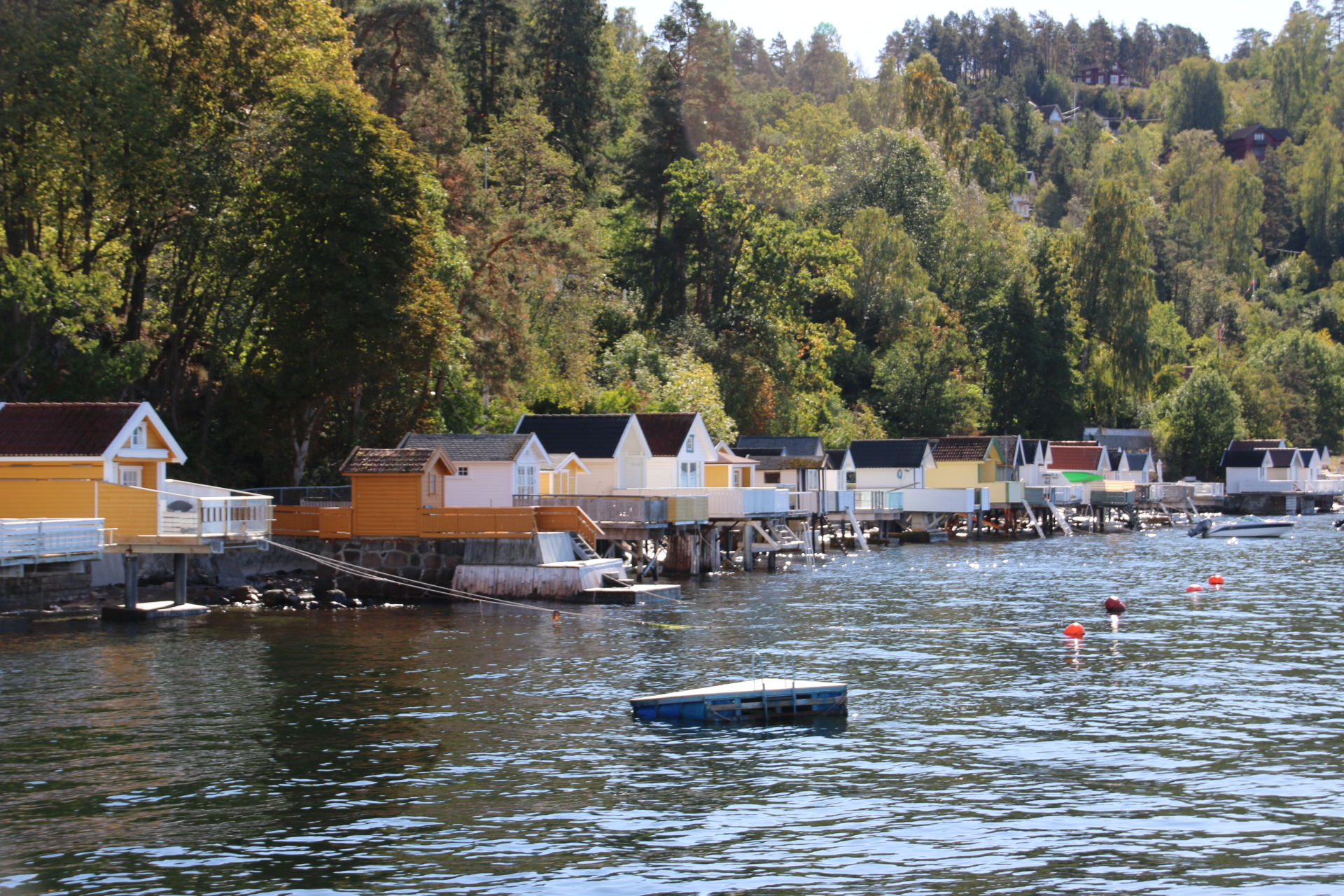
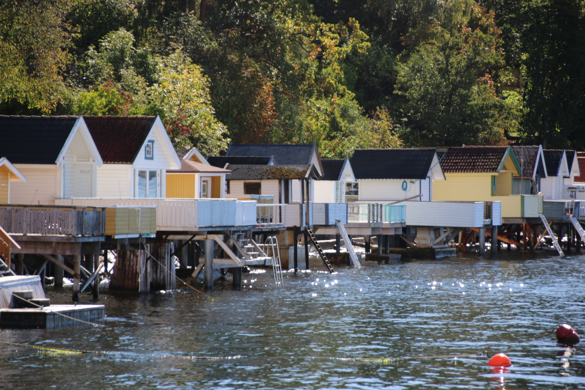
Further out, the shore is lined with fragile looking summer-houses. Like Victorian swimming huts these date back to the day when folk wanted privacy and changed in the huts before descending a ladder to get in and out of the water, unseen by neighbours or passing sailors.


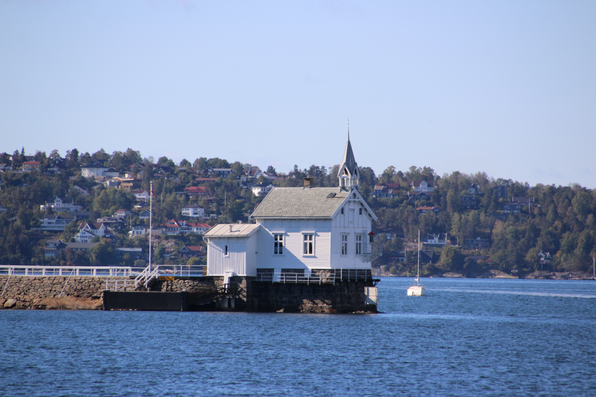
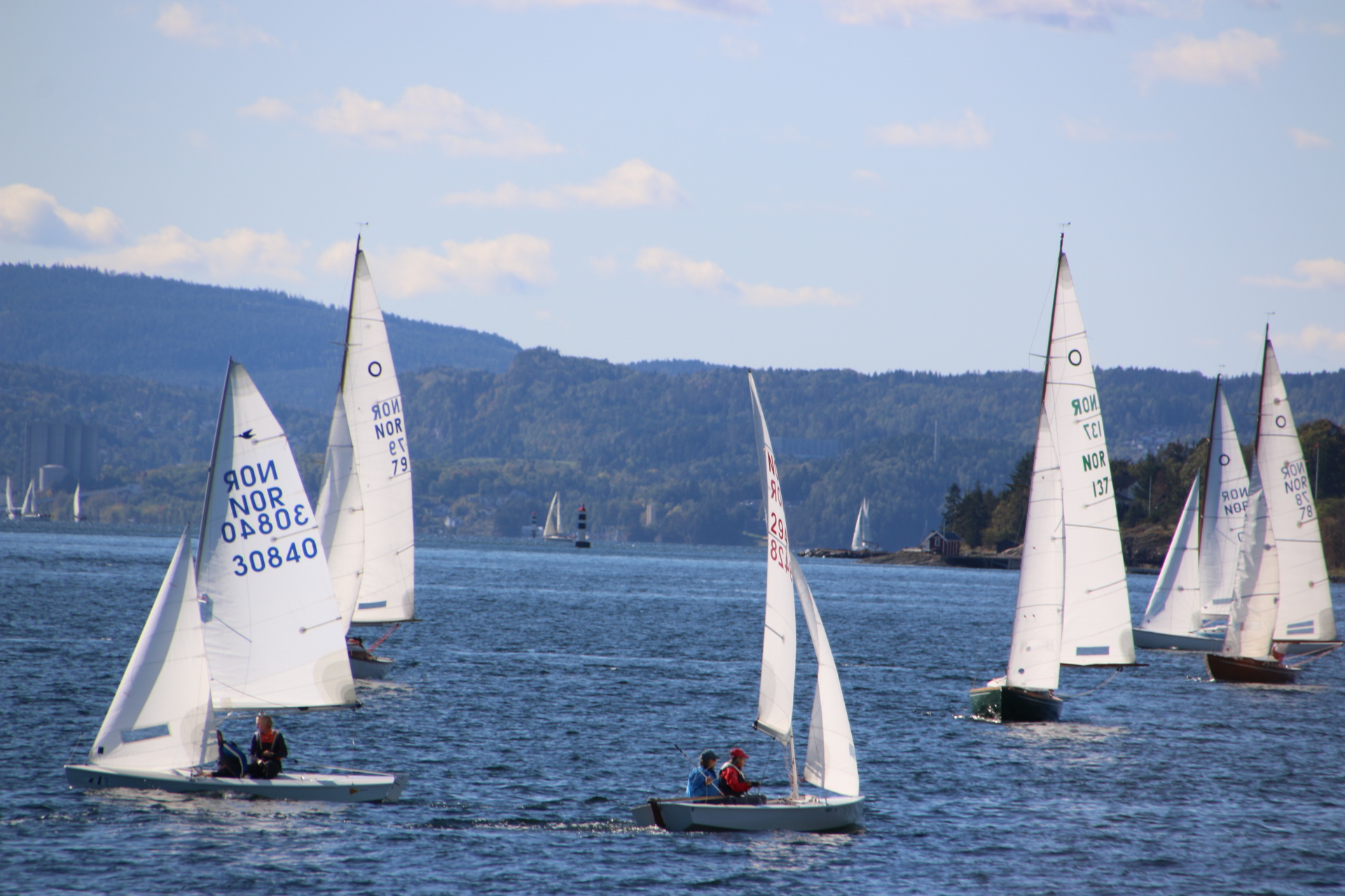
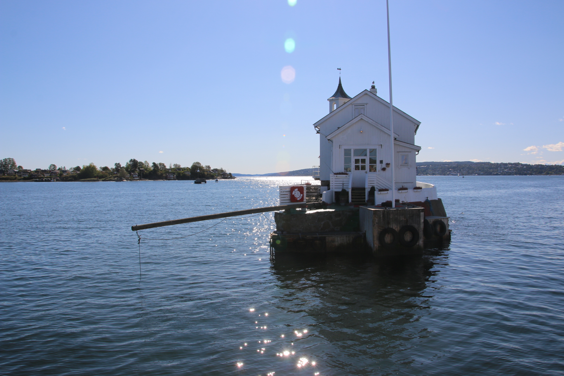
Then across the bay mixing it with boats and lighthouse islands.


Loved every moment of it – even the English guide over the PA interspersed with melodious, mindfulness music. A real pinch yourself journey.

Hop on, hop off, all across Oslo.

So it’s straight into the city centre and, as is often the case when one only has a couple of days to do somewhere, head for the ‘hop on, hop off’ ‘bus. There is a similar ‘hop on, hop off’ fjord cruise but, sadly, we are officially ‘out of season’.

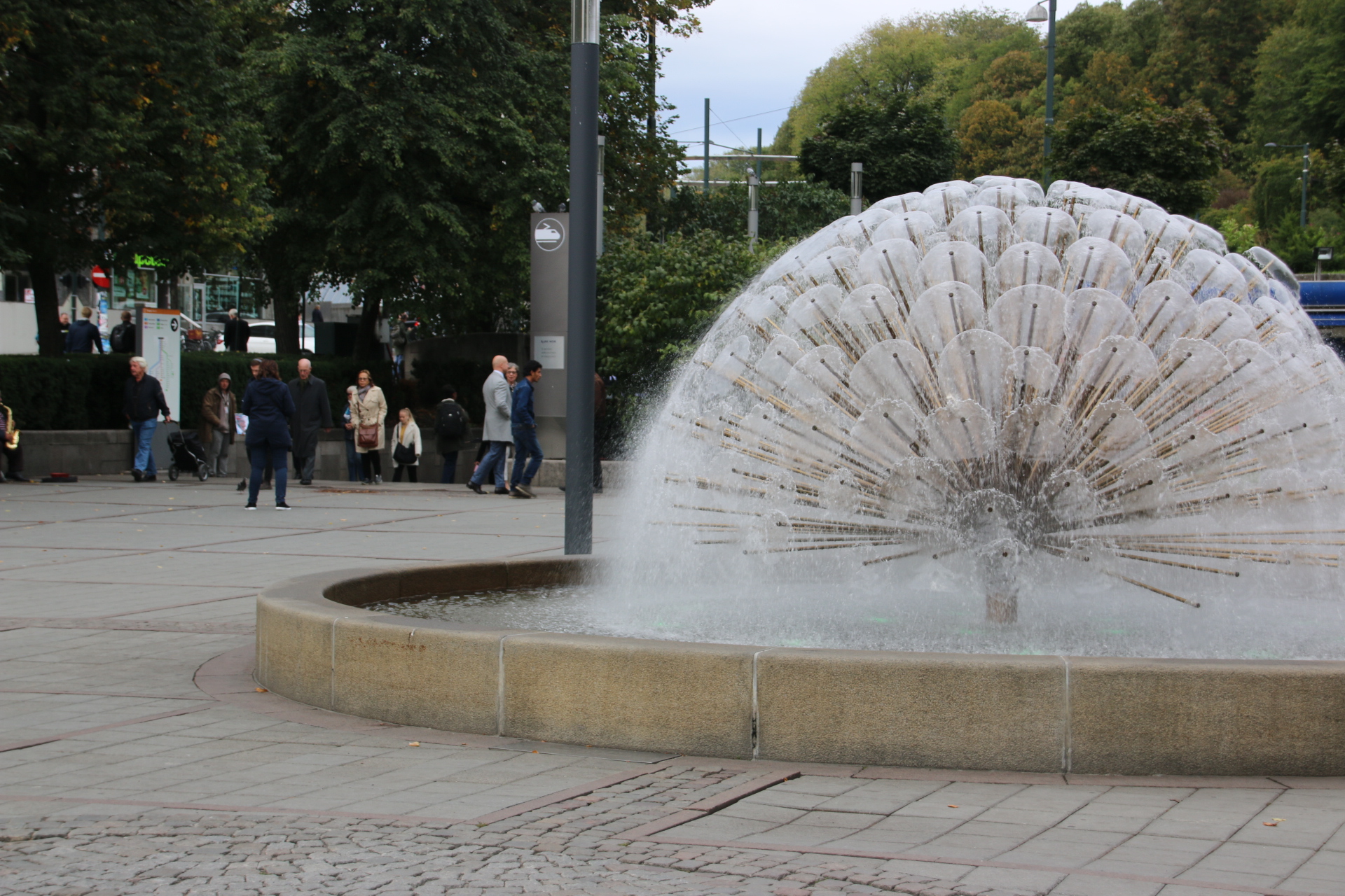
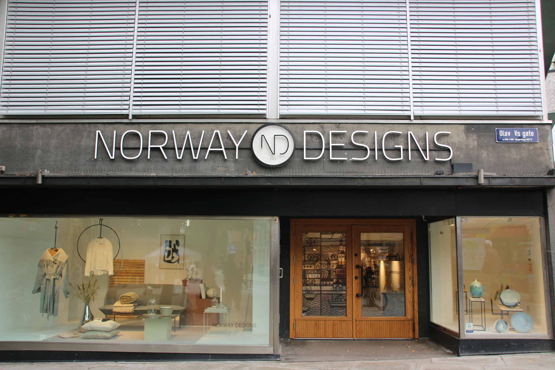
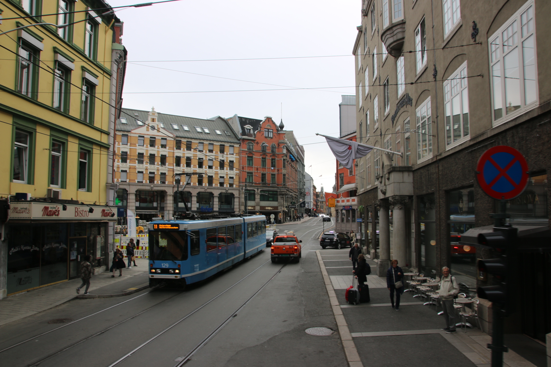
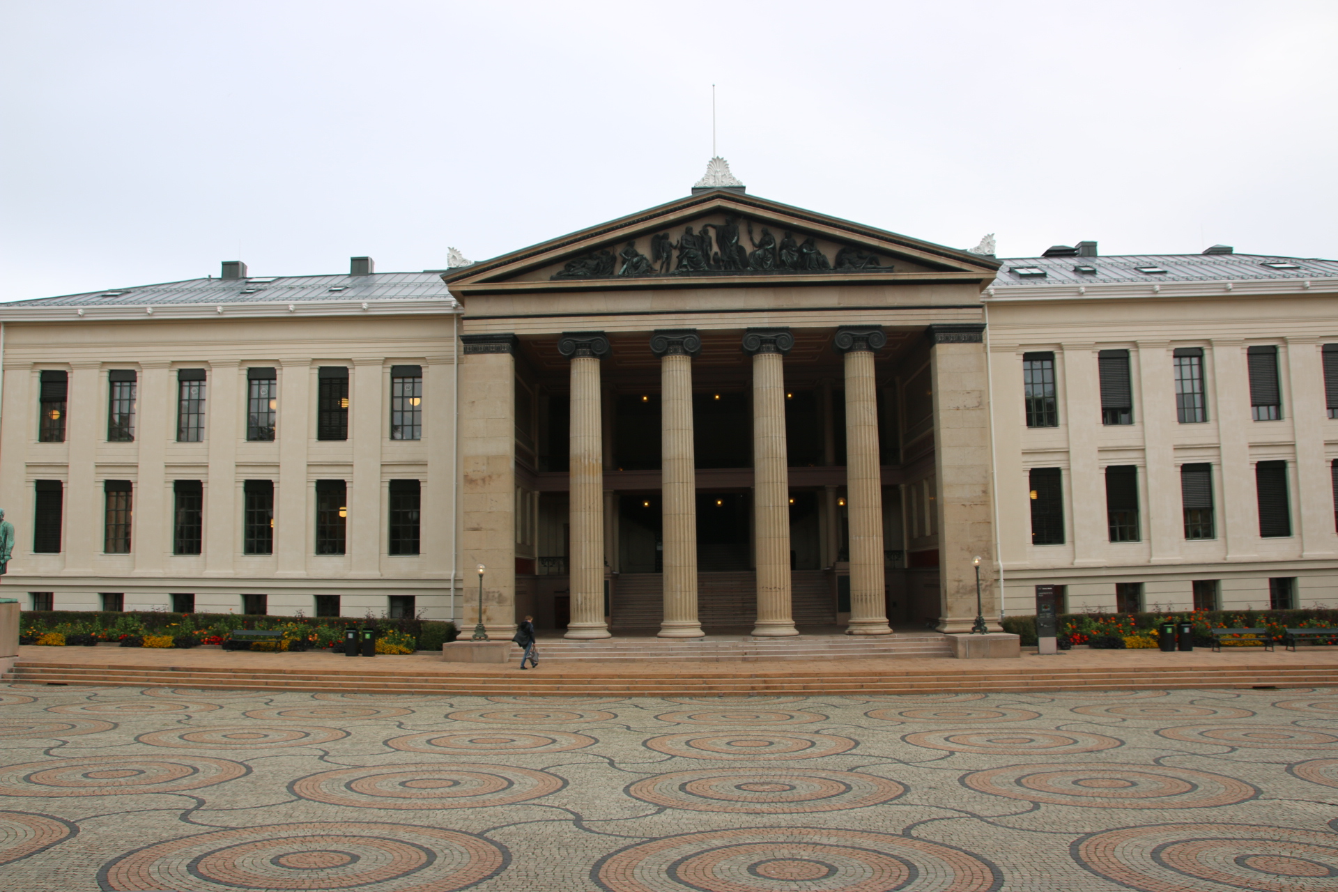
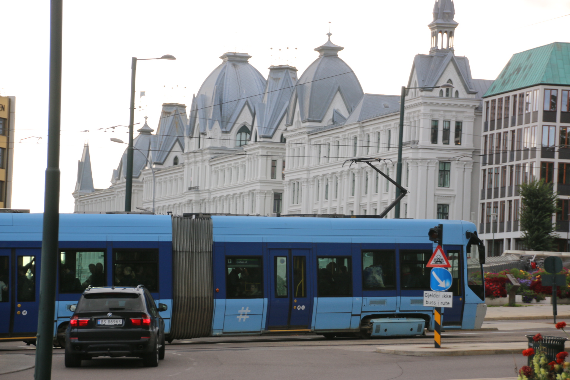
Oslo is a modern, cosmopolitan city with an old centre of elegant, tall buildings with parks and fountains and countless statues and sculptures positioned around the place. I always think that trams give a city a feeling of quiet sophistication and Oslo is no exception. Building is going on all over the place and cranes scatter the skyline in every direction like a new skeleton is being created within the tatty, dusty fabric of the old framework.

So firstly the city centre.

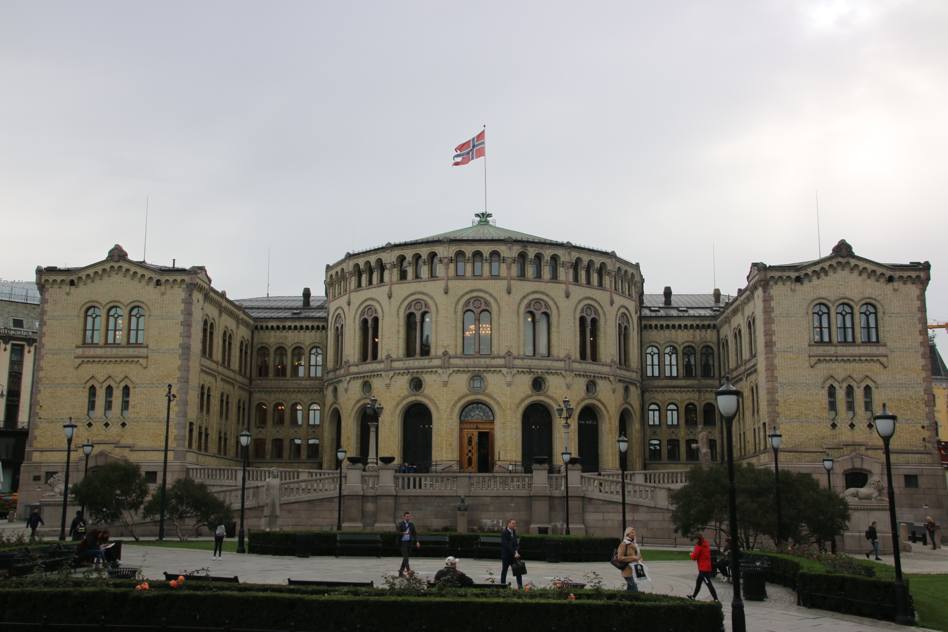
Then images of the Norwegian Parliament building


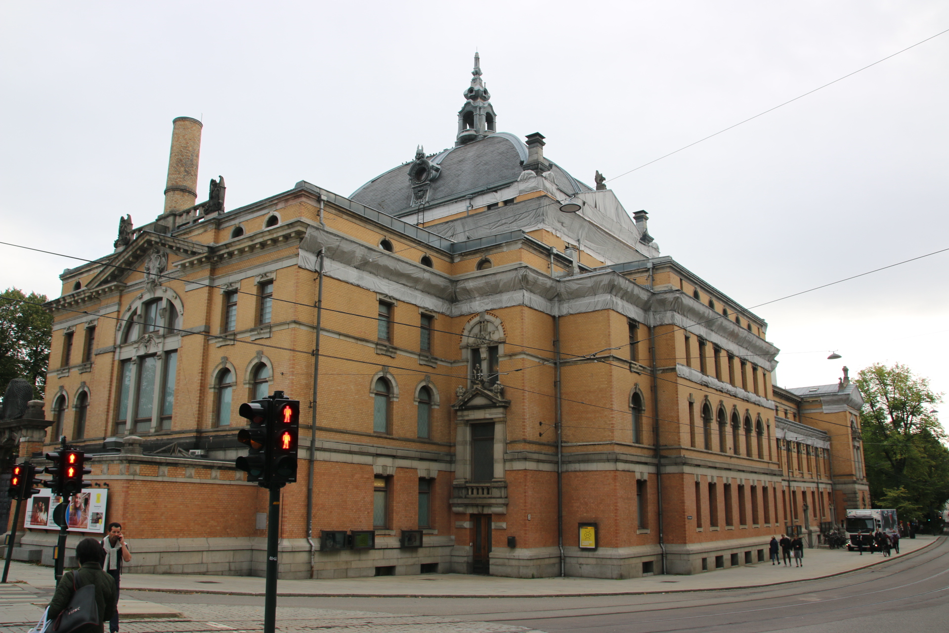
and then the National Theatre – showing a cheerful Ibsen offering at the moment.

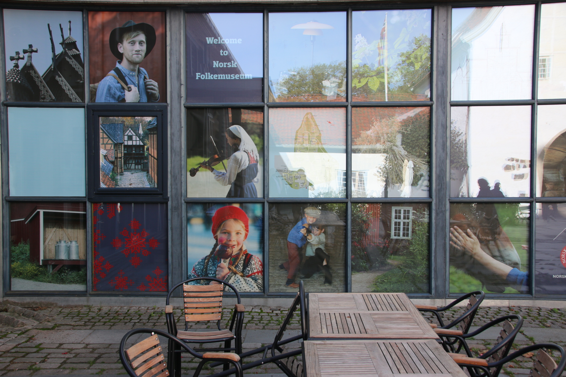
The sea is never far away, reminding us of Norway’s Viking history and all that raping and pillaging, art home and away. The clever thing they have done here is to place all the museum in one area across the bay and just out of town. So if you want to know about social history and culture, Vikings, the Kon Tiki voyage (always big when I was younger), all things boating, head here.


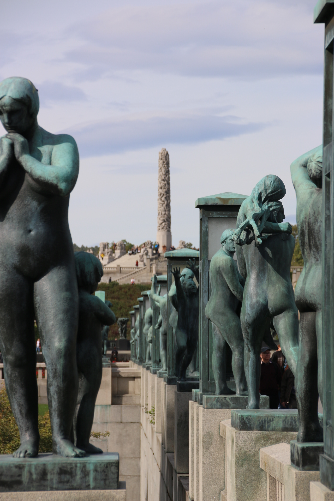
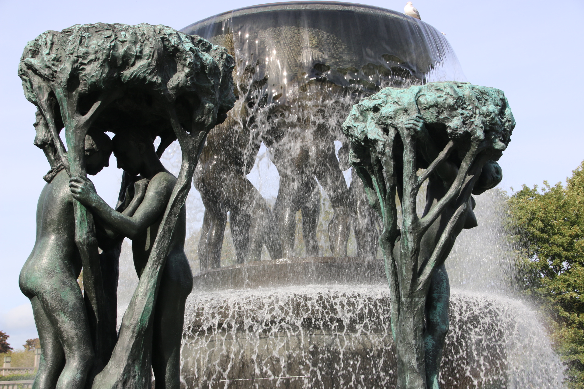
Vigeland was a local sculptor who was fascinated by the human form. His work is displayed in this park.


The centre piece is this huge monolith which was carved from a single piece of granite. Around it 101 figures are entangled in a fight to reach the top.

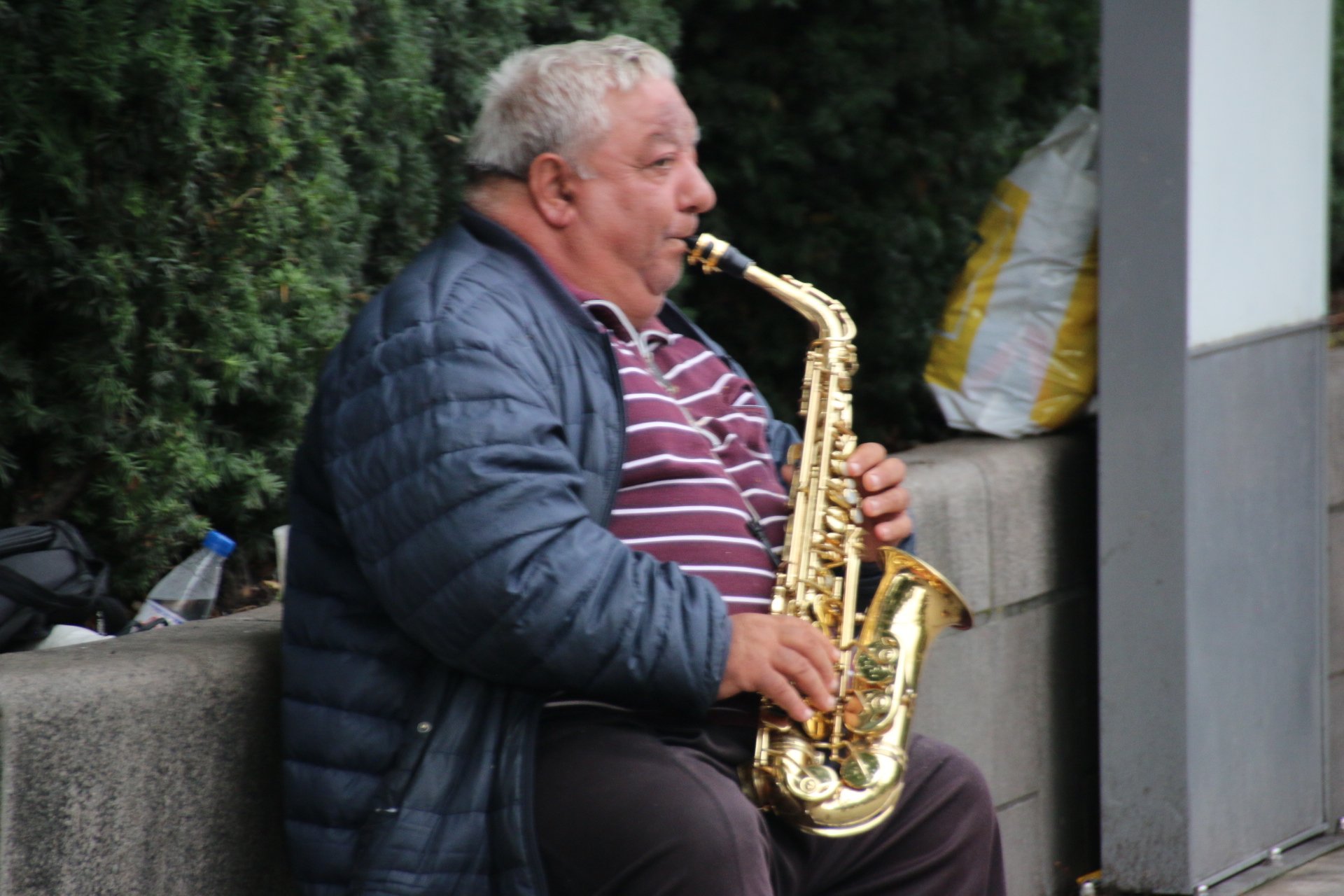
Back in the centre, it’s time to head brink surrounded by a diverse local population of all kinds of colour and faiths. It’s 1630 on a Friday and the streets are humming and buzzing with workers and shoppers and buskers and then with tourists adding their own spicy flavours to humanity’s mix.

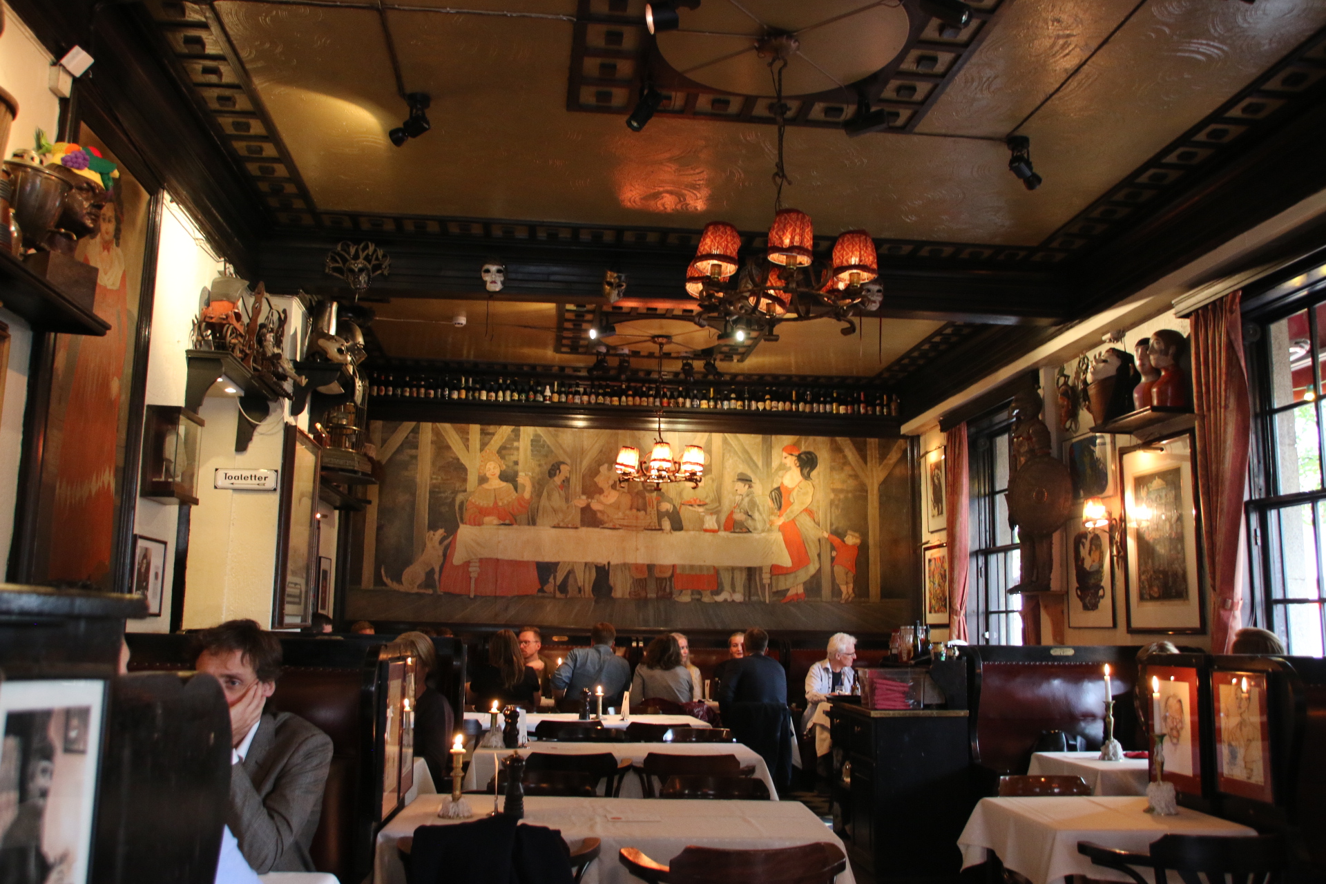
Dinner is booked in a typical Norwegian restaurant near to the hotel.

A quick trip to Norway

Hi all. I have just come away for a few days to visit Norway. I landed in Oslo late afternoon and as the day seemed to run away from me I am going to let the images tell the story of my impressions of this Nordic country. The plan is to do 3 days in Oslo, take the spectacular seven hour railway trip over the’roof of the world’ and spend two days in Bergen before flying home. So first impressions of Oslo:

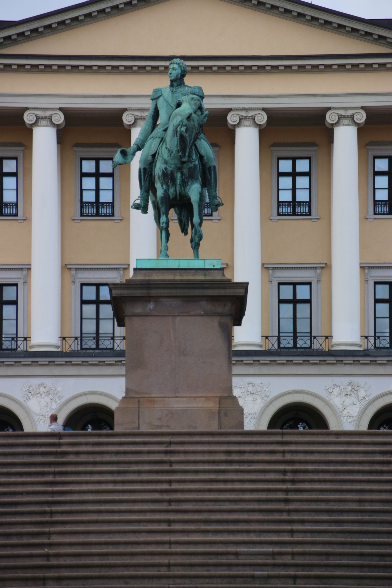
The Royal Palace and parade groundvs

A bit further into town before heading out for dinner.

Will really get to it tomorrow.

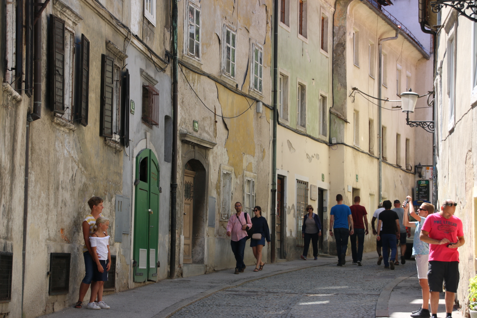
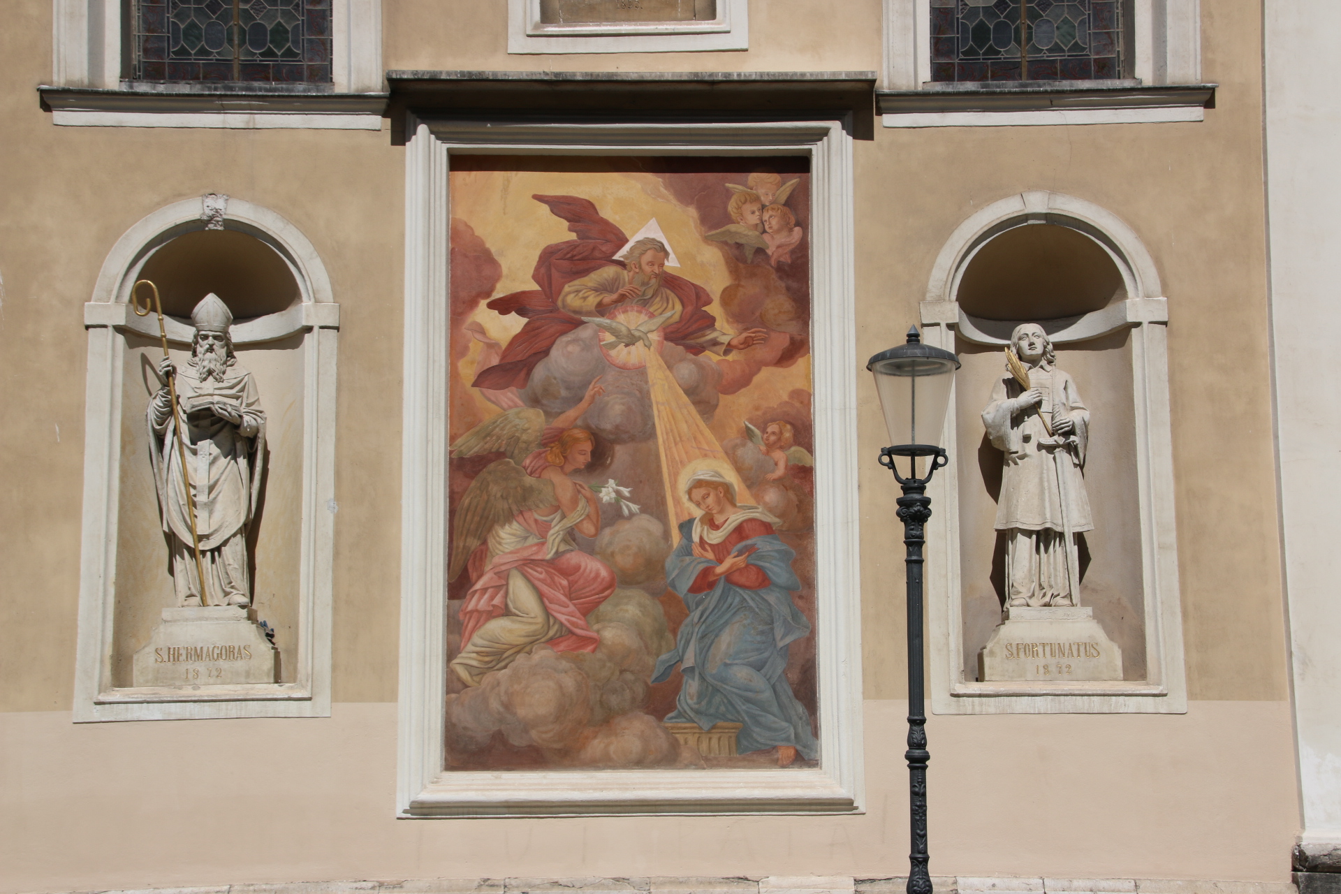
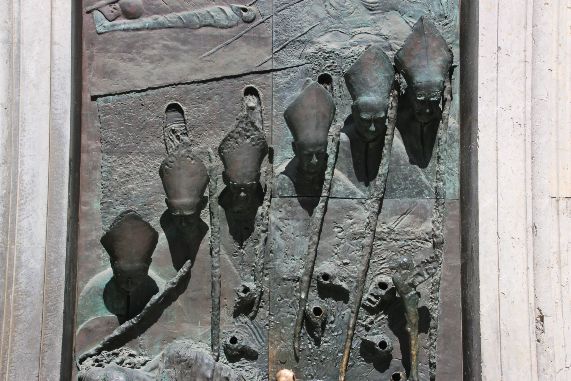
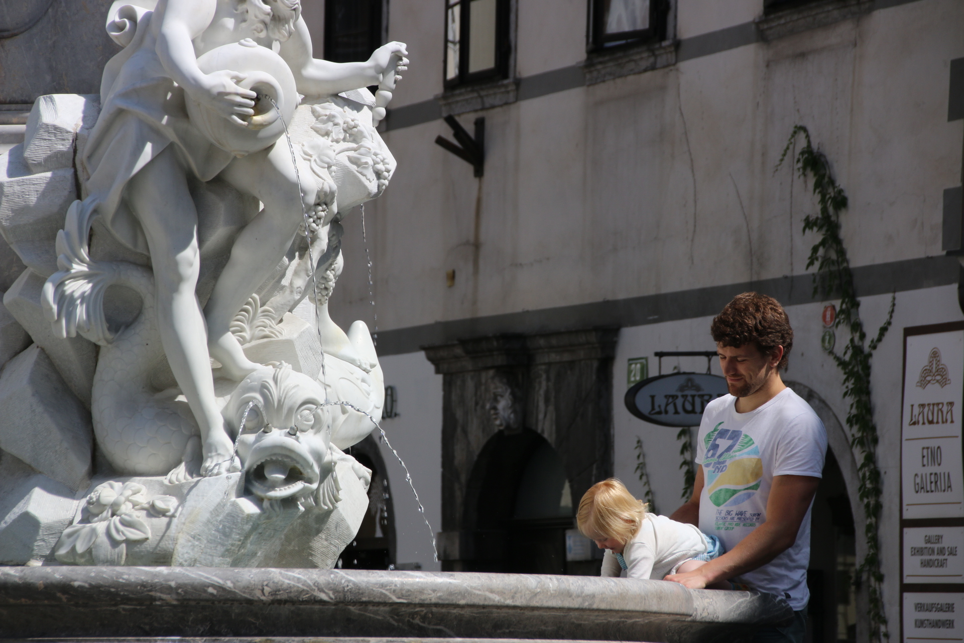
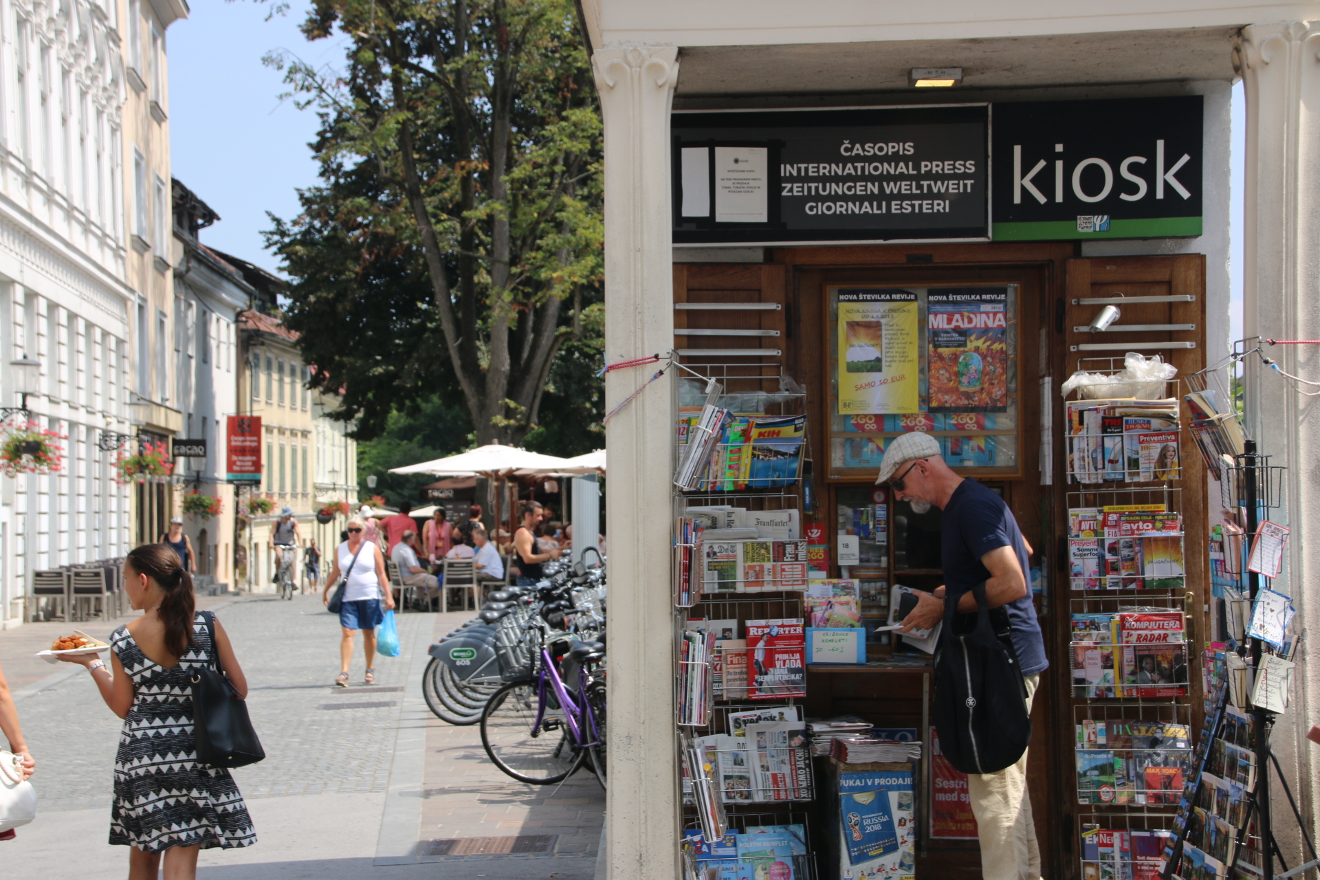
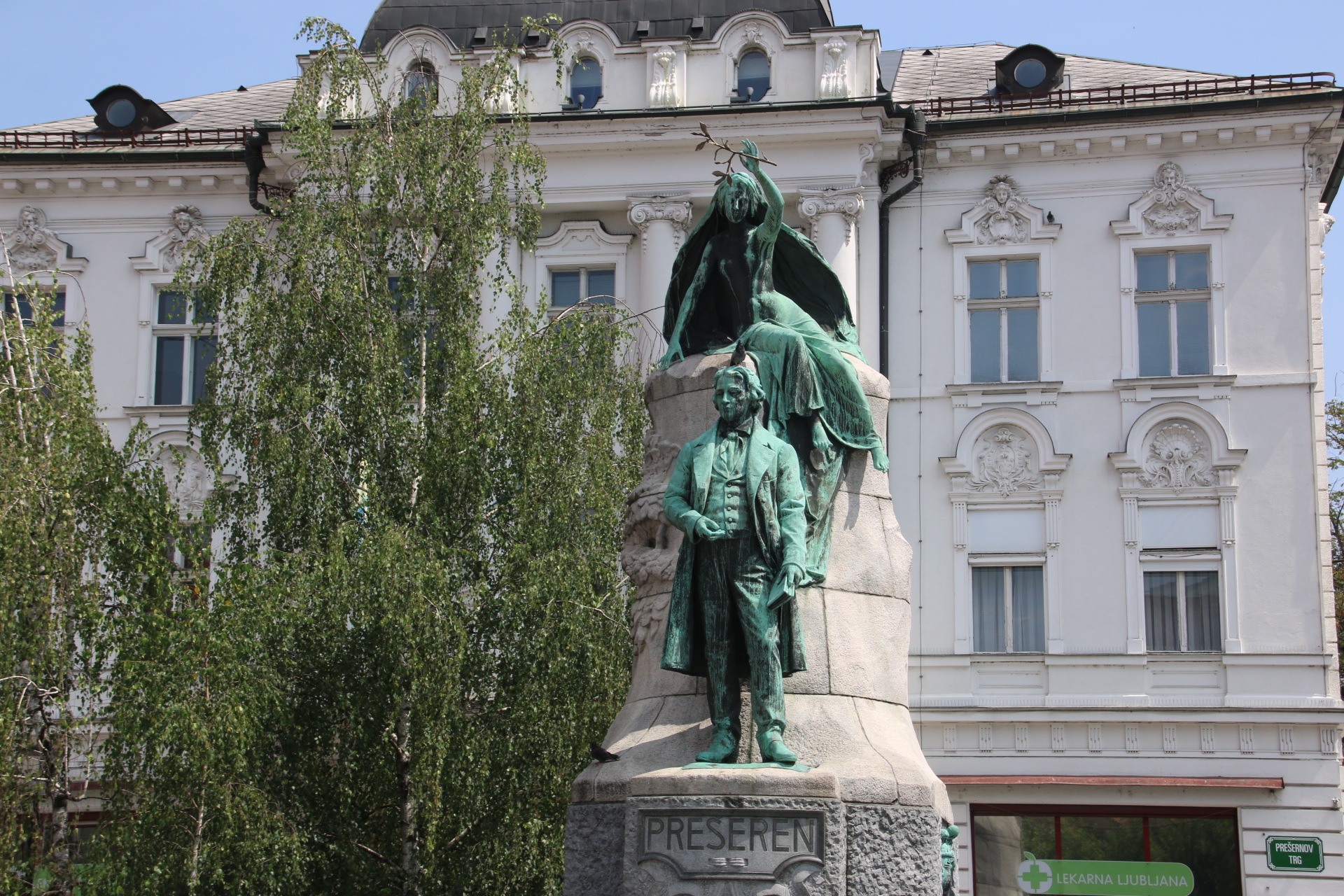
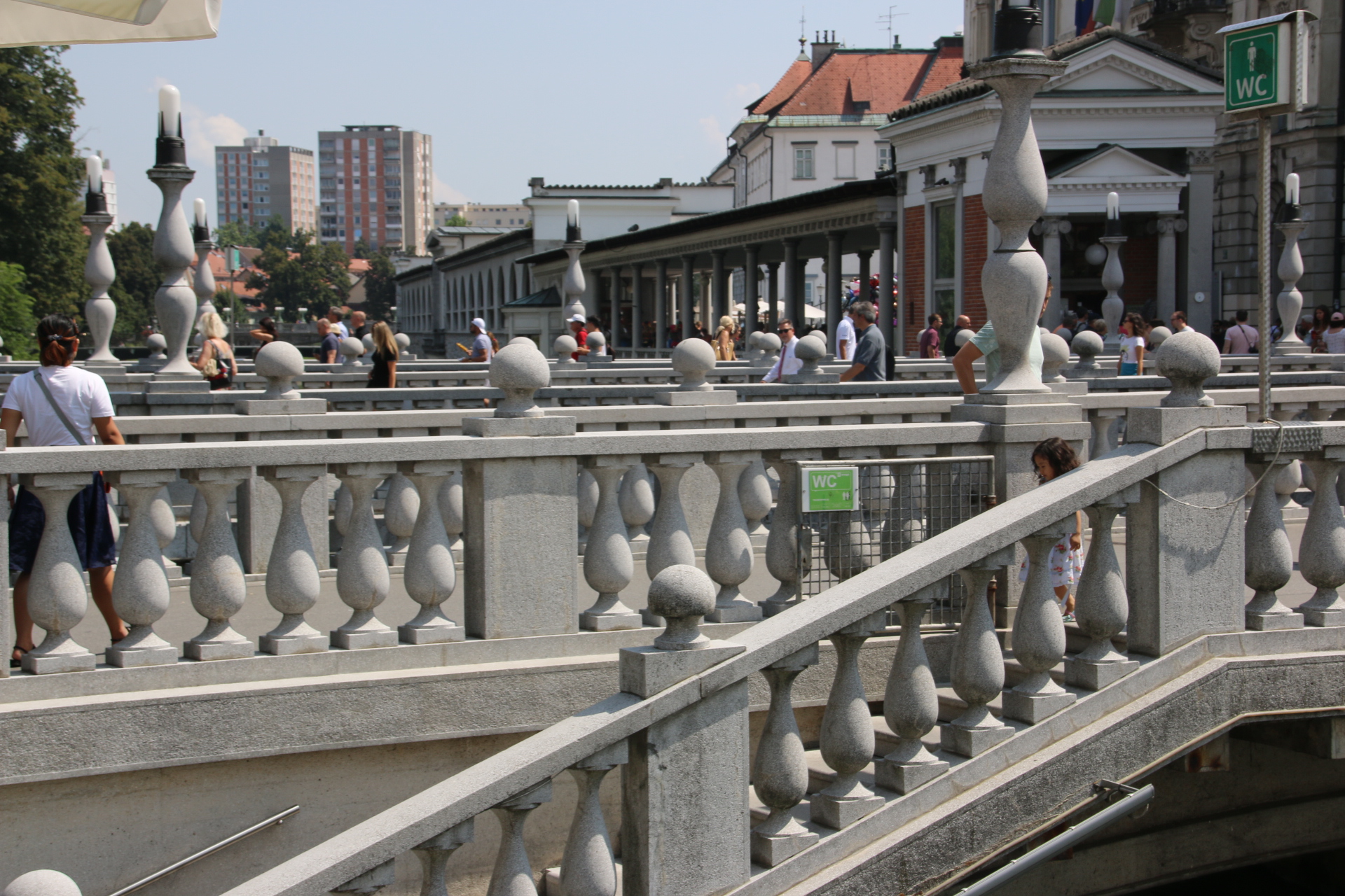
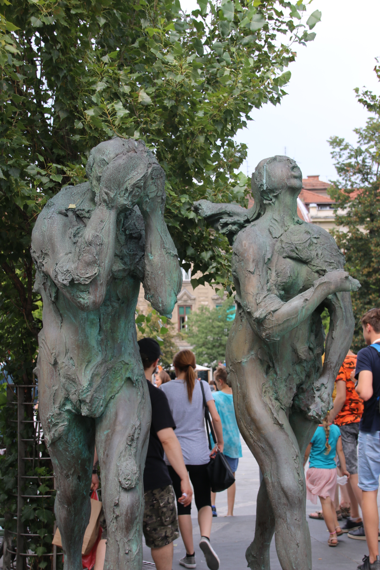
Quirky sights in Ljubljana

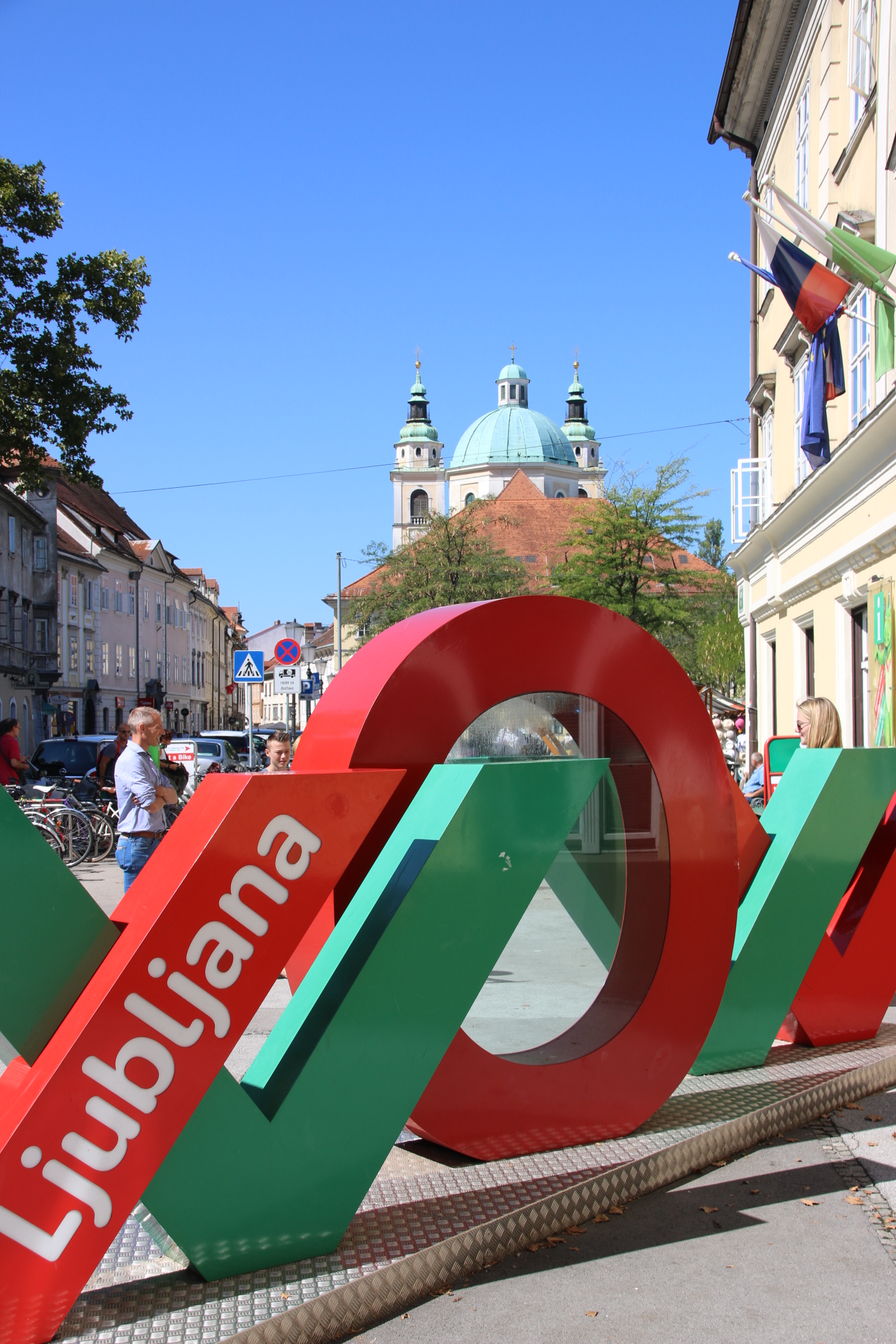
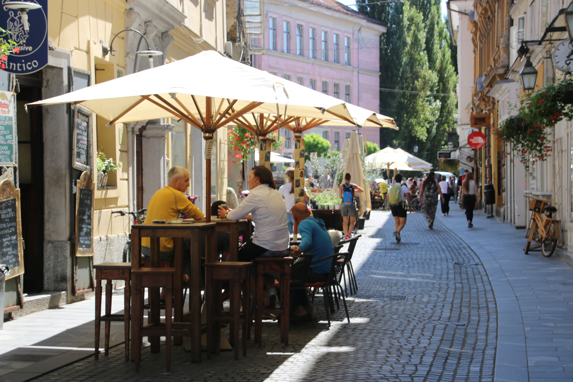
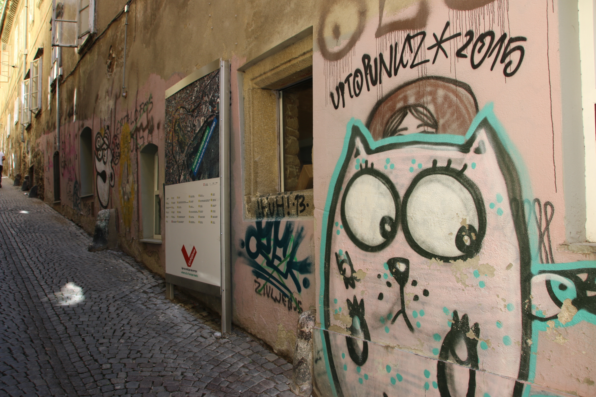
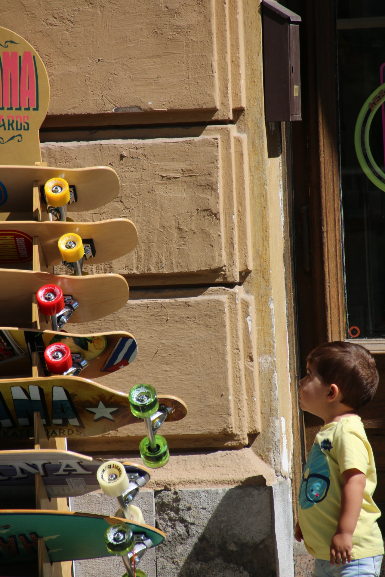
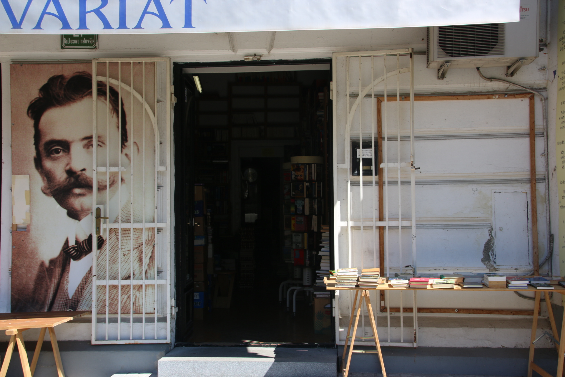
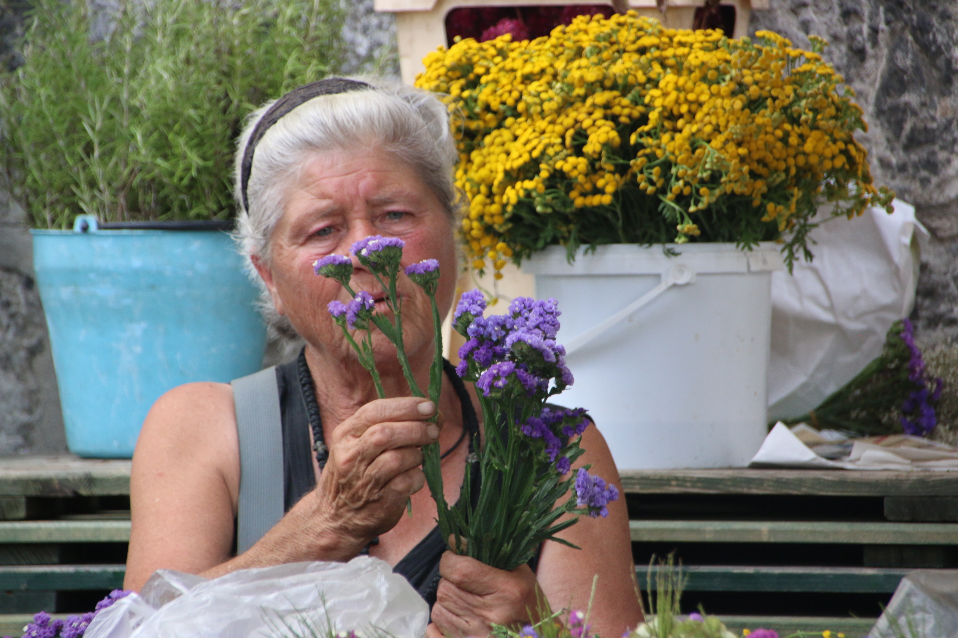
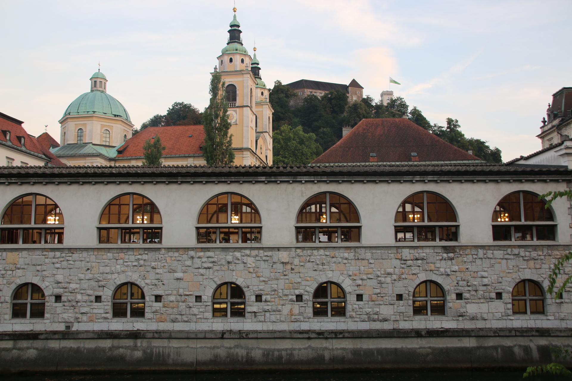
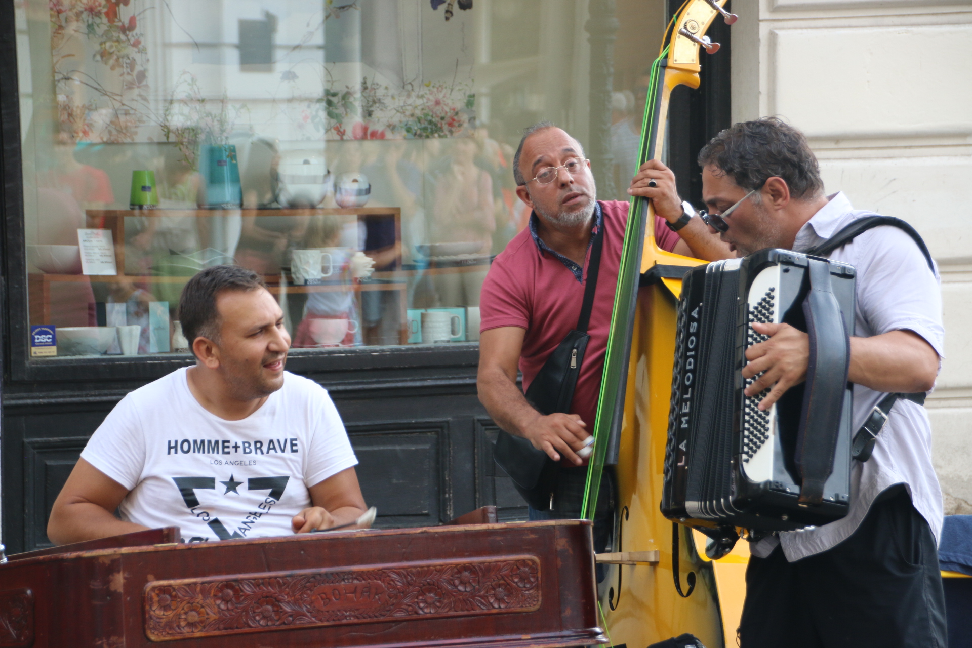
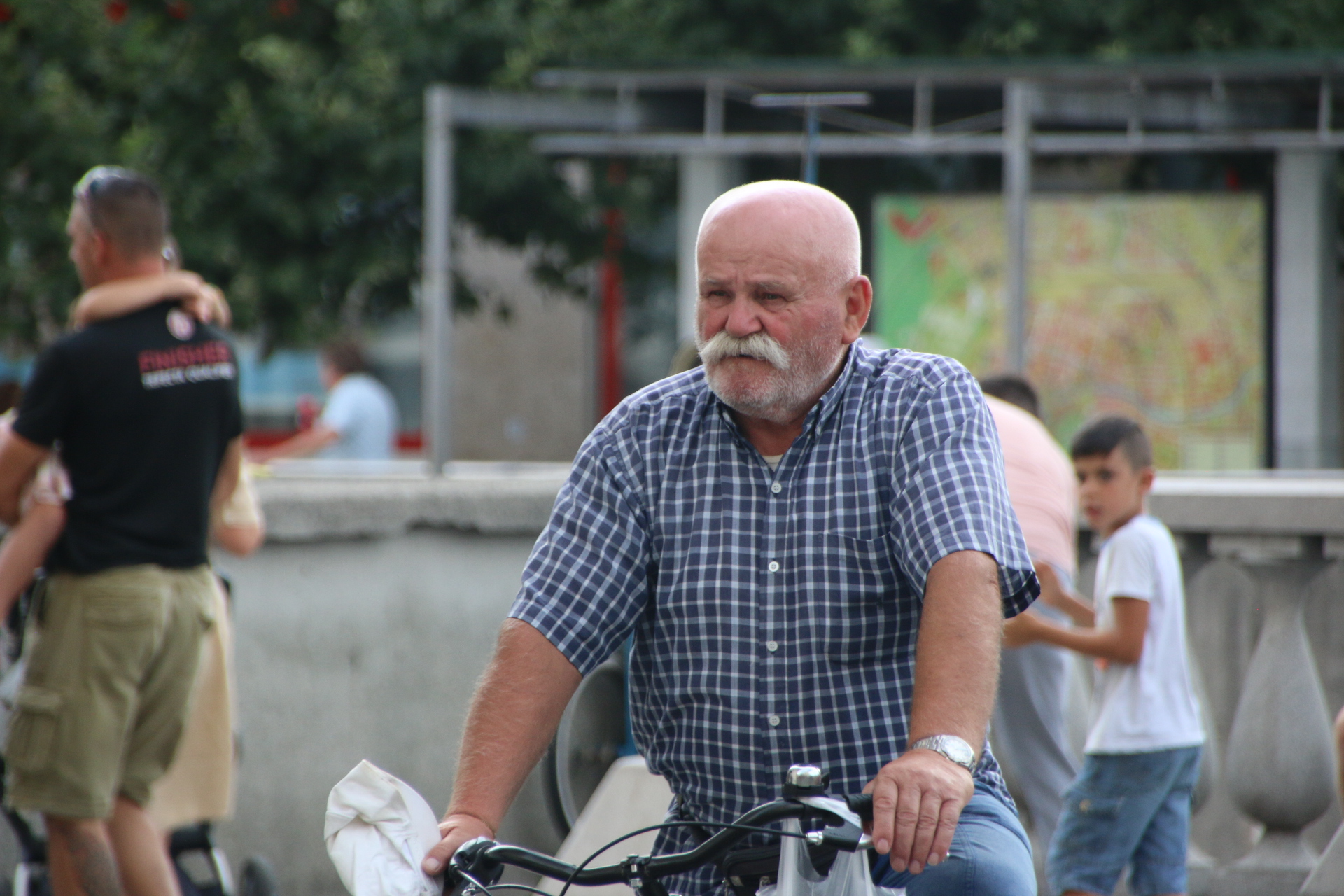
The sun really shone on my last day in this incredible country and in the capital in particular. I tried to capture some quirky images of Ljubljana and am simply going to put them up here as a sort of gallery. See what you think. Love to have some comments.

Always a good day in Slovenia

The weather has broken at long last and low temperatures and persistent rain has driven us from the damp streets of Ljubljana back to the hotel and an opportunity to share with you some reflections about this beautiful country.

As the plane lands the first impression of the land laid out below is one of neatness and order. The landscape is a palette of greens and a patchwork of fields and forests interspersed with collections of painted ginger-bread houses. 68% of the country is forested.

Slovenia is made by its people. Just over two million people live in this small country. The vast majority speak English with a pleasant, warm disposition that is immediately welcoming. There is a colossal link between Slovenes and nature. At weekends most will head for the hills, literally, and ski or bike or canoe. Most families have an allotment and gardening is the number one participation activity. Whatever it is down to, it works. Slovenes are friendly, warm, softly-spoken. They seem grounded and content. Their quality of life and their attitude to living is worth emulating.

Food is very much meat based. Most menus contain locally sourced beef, veal, pork, chicken, venison, even boar. In some more remote parts bear is still found, but not on menus of local restaurants. Dishes are accompanied by locally grown fruit and vegetables. Beer is good and wine, particularly the whites, is exceptional, even for a red lover like me.

Every settlement of any size boasts a church, usually Catholic, and a protecting castle in various states of repair. These places all have a medieval core that transports one back to the old days of ancient monasteries and narrow, cobbled streets and timber bridges. On the small strip of coast Venetian ports remind us that these links are as relevant to the history of Slovenia as the mountain passes and the river valleys. This country has been moulded by its stunning and wonderfully diverse scenery – mountains, rolling hills, rivers, streams, lakes, evergreen pine forests, mixed deciduous woodland, meadows and farmland, allotments and orchards, fields of hops and vines.

So, all in all, a beautiful place with stunning scenery inhabited by friendly people who value their culture and history. What else do you want?

Some delights in southeast Slovenia

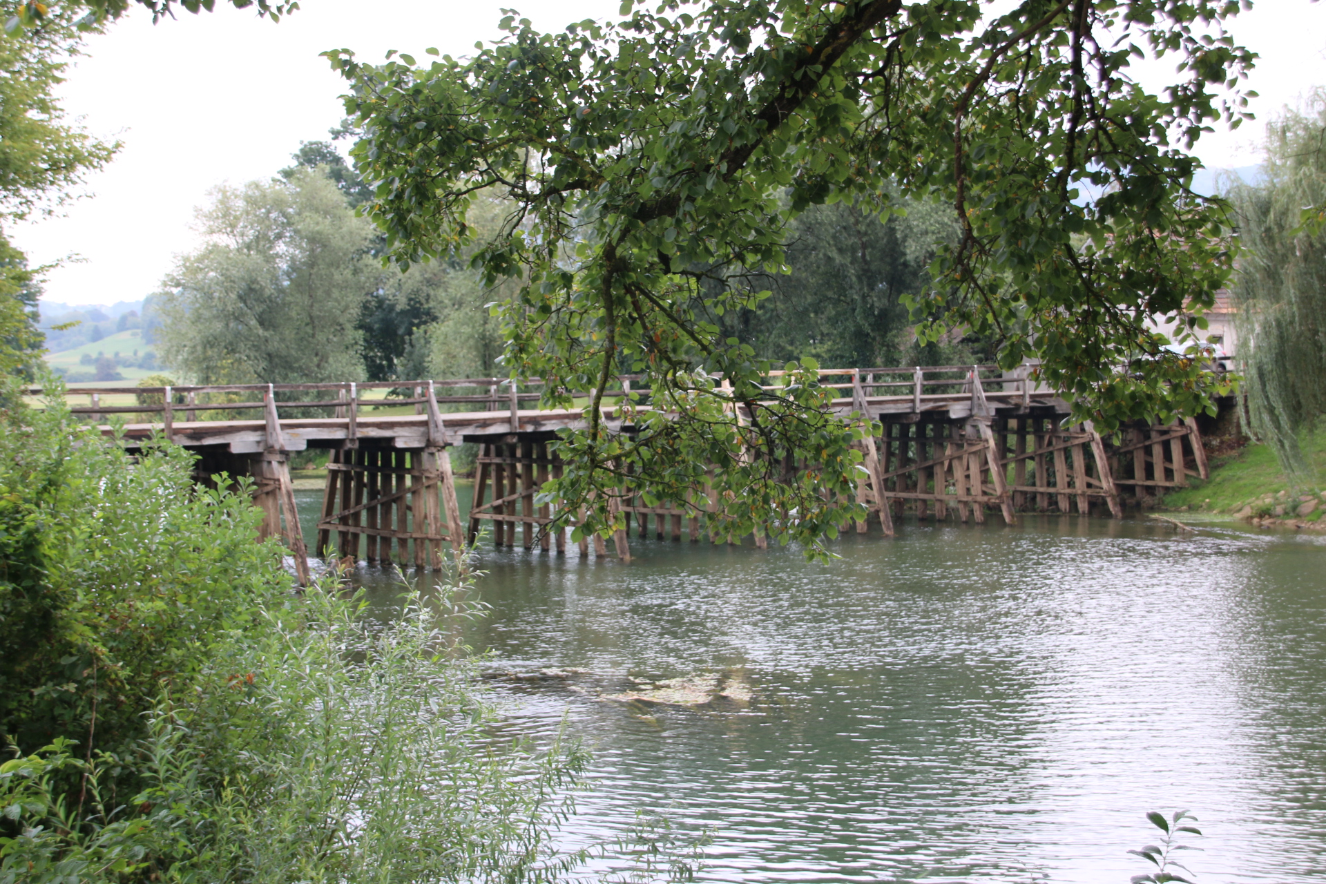
As always there is a delight or two to find on any journey in this country around the one back to the capital is no exception. Following a slightly longer route than necessary, the first is Slovenia’s smallest town, but nothing like any town you may have visited. Firstly, Kostanjevica na krki, occupies an island 200m wide & 500m long in the middle of the River Krka. This sleepy place dates back to 1252. Two old timber bridges connect it to either bank so it is possible to drive straight through without stopping. Not that you would want to. The place has an old charm to it that is almost timeless.

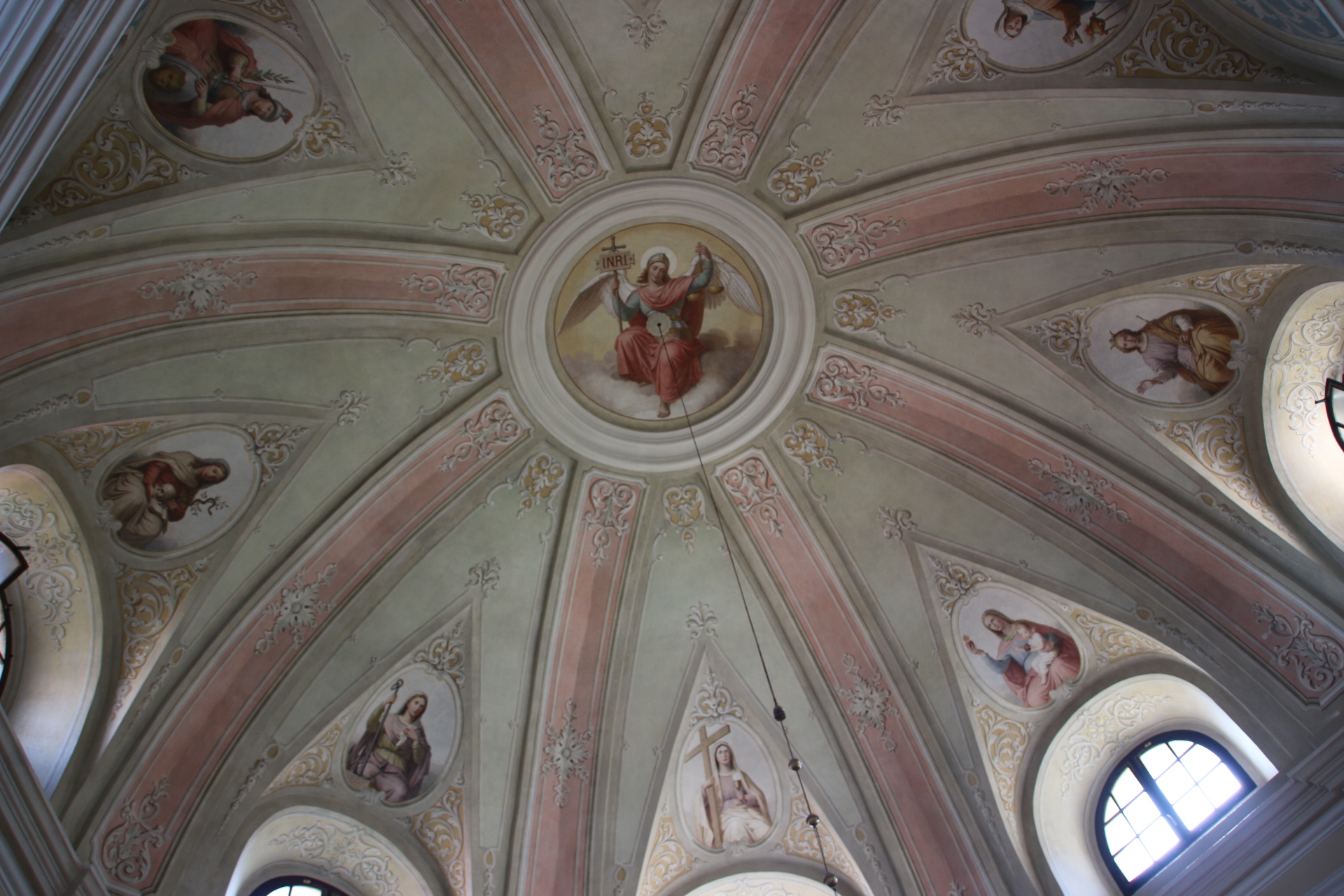
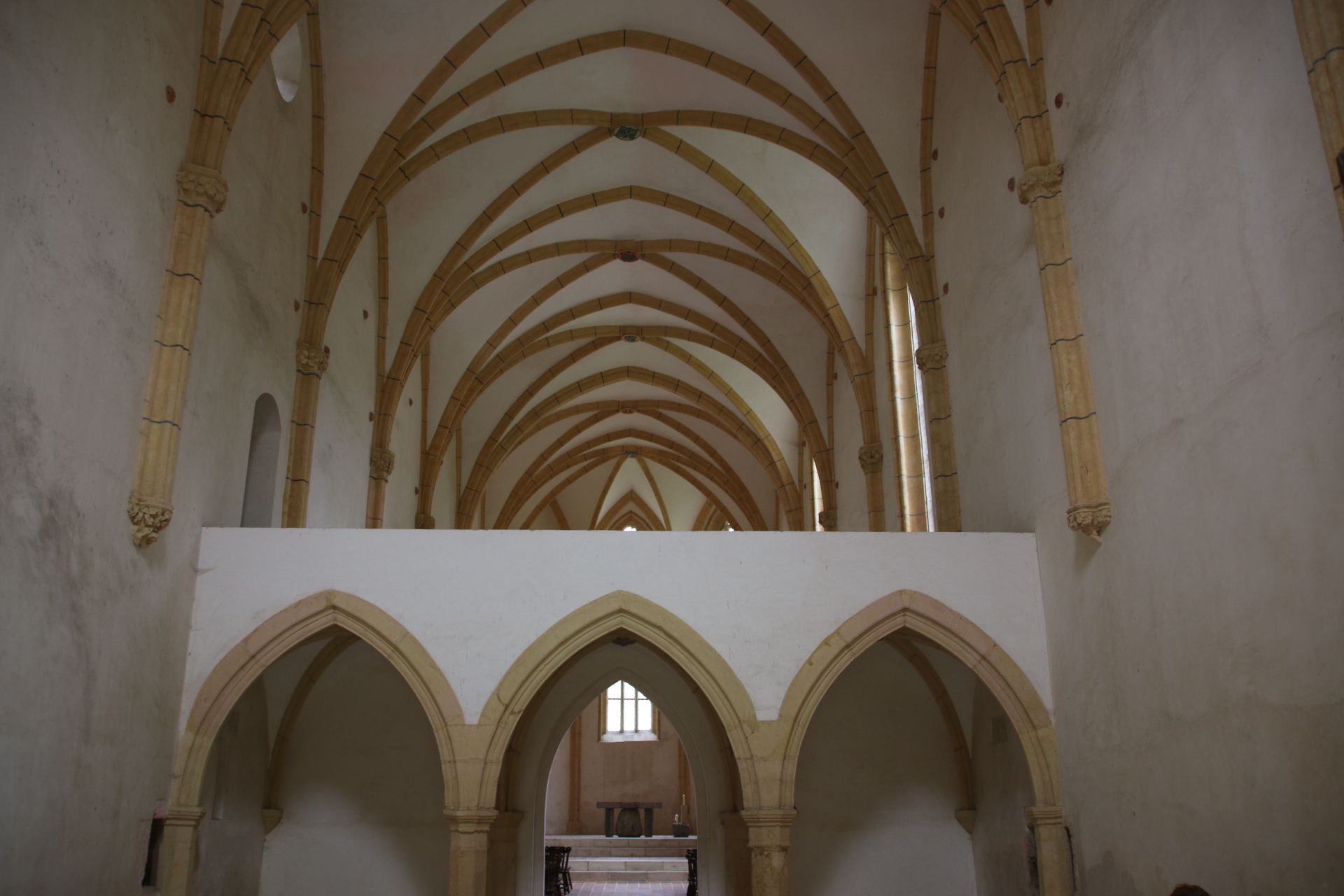
Just a few kilometres out of town is the Pleterje Monastery, belonging to the Cathusians, the strictest of all the monastic orders. Only the Gothic church is open to the public. This, in itself, is worth a visit as its empty space arouses the inner spirit, settling anxieties and inspiring awe and wonder. There is no sign of white-hooded monks quietly going about their chores; they have taken a strict vote of silence. The main building, dating from 1407, can be seen from the outside and signs are everywhere reminding visitors of where you are and to respect the tranquillity of the place.

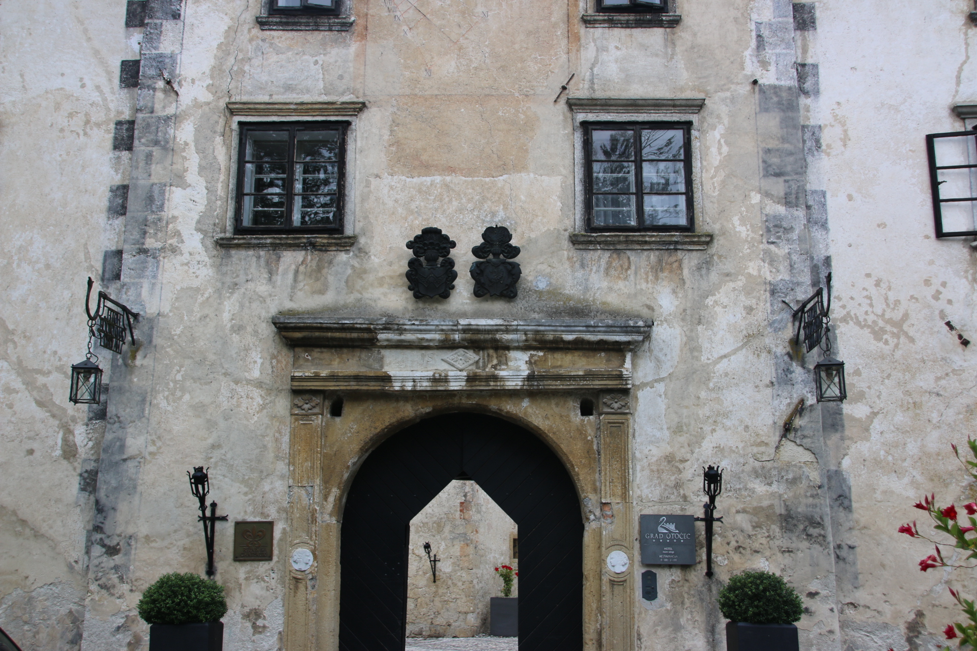
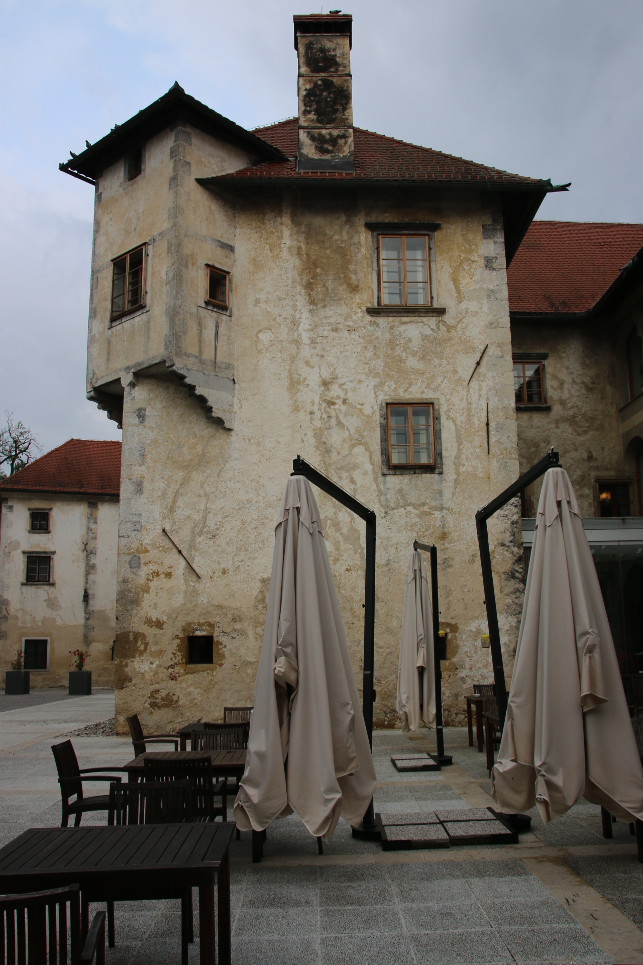
Finally, Otocec Castle, also on a tiny island in the middle of the Krka River but further up stream, is reached by similar timber bridges from opposite banks. The castle is completely restored now and has been converted into a very smart hotel. But hey, not one to miss an opportunity to rub shoulders with the posh & glamorous, it is in through the main door to use the toilets and then order some refreshments. They were very happy to serve some excellent coffee, along with a very tasty choccie with the hotel’s emblem on it rather than, as is normal elsewhere, a simple marciponi biscuit, and not charge the tourists in the scruffy shorts and faded T shirts too much for the presumption.

Saying goodbye to the mountains

Last day up here in the mountains in the eastern part of Slovenia, where mountains and agriculture meet and hops and vines stand gloriously side by side, proudly extolling the quality of the other. So, if its beer or wine that floats your boat you will find excellent products of each for your delectation.

Tomorrow it is back to Ljubljana for a few days before its back home on Tuesday. I am going to miss this place. I will miss the view every morning, now covered in distant haze as a storm builds. I am so familiar with it that I can lean out and reach through the murky horizon and caress those far, glorious lines in my mind. I will miss the cows , just a handful in each of two fields, and their relentless routine from pasture to shed and back again. I will miss the hoarse, screaming call off the two big boys (eagles, buzzards, kites, am not sure which) who appear every morning and rise the thermals and float off to a neighbouring valley to carry out their business out of sight but within sound. I will miss the handful of cars & clanking tractors who periodically negotiate the narrow lane around and down the head of the valley, disappearing into forest and reappearing at the same spot each time, a few hundred metres further on. Such repetition has set these sights in my mind so I can take them out and enjoy them whenever I please.

But one last pleasure is required before we got the bustle of the capital again – a special lunch at the Gric Restaurant I told you about a few days ago, in amongst the patterns of vines on the gentle slopes of Slovenske Konjice.

Beef Tartare and Sea Bream Tartare to start with a sparkling white for company


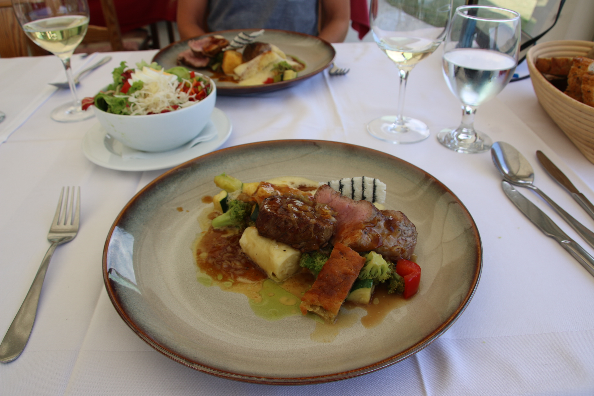
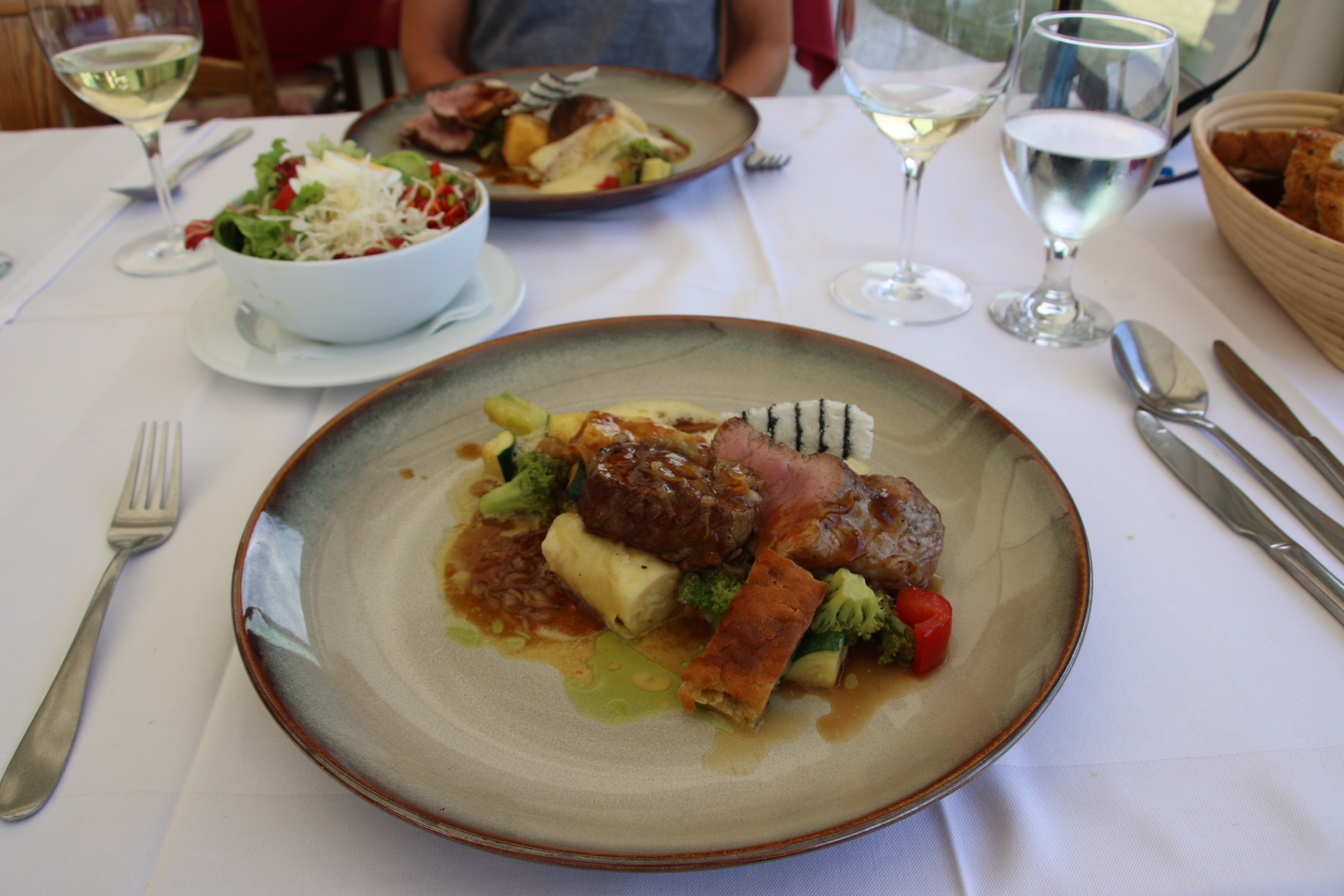
Veal, medium rare, with roasted veg, polenta cakes & cheese rolls, accompanied by a local Riesling.


Chocolate souffle and coffee to finish. There is always one really special place to eat and remember.


Slovenske Konjice is full of surprises

A routine has developed. We wake up and have breakfast on the veranda.

There follows an excursion into the locality to appreciate the area’s culture and history. We return for lunch.

A snooze follows whether planned or not, shower, dinner, and red wine this time, on same veranda watching the sun dusk on the. same stunning view and the plumping moon come around the corner along with singing stars, in a slightly different place each night.

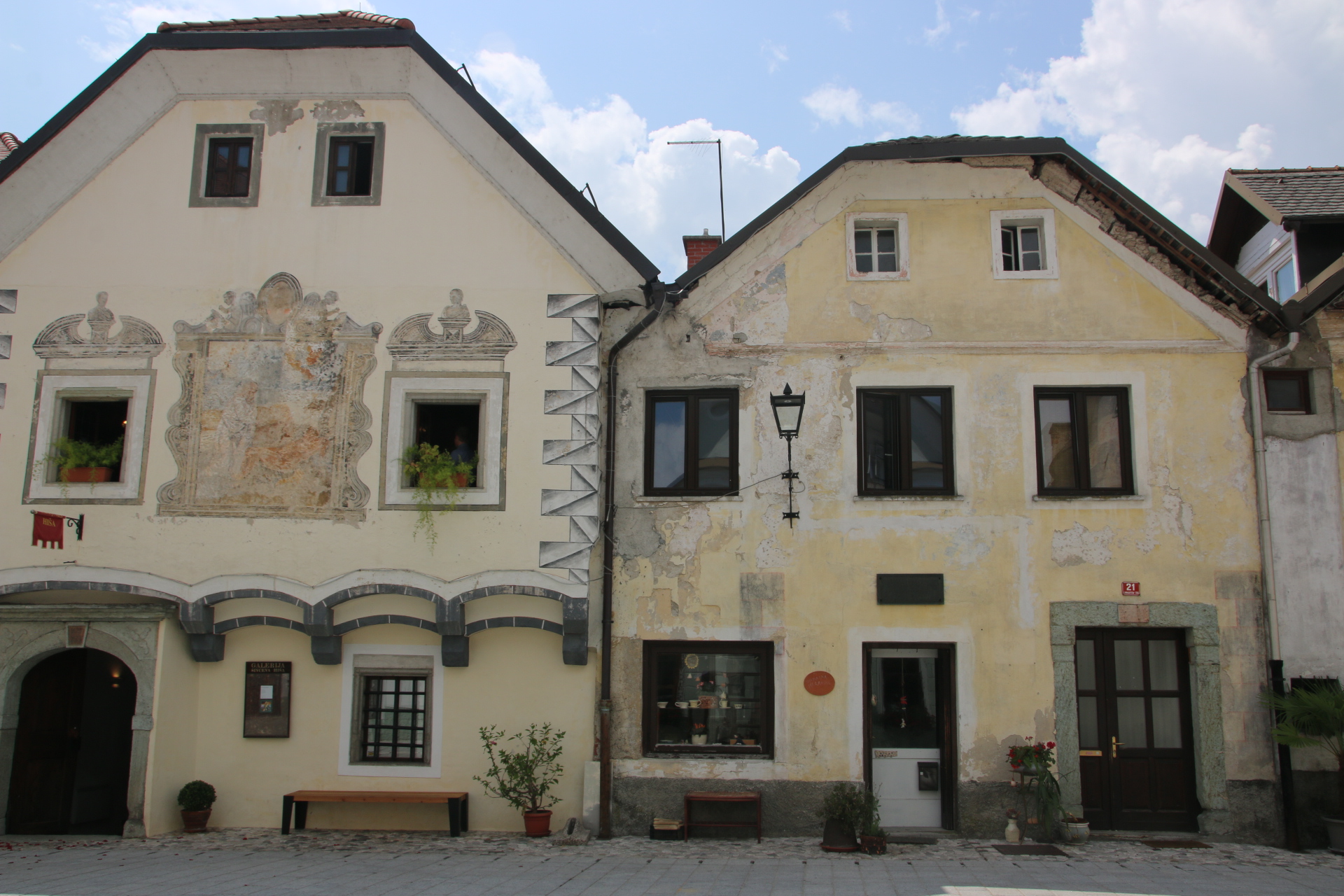
Today’s trip out is focussed on Slovenske Konjice, a small market town started about 1,000 years ago, nestling under the northern slopes of Konjiska Gora. From the tourist bumf it seems nothing special but it has all kinds of secrets to reveal. A small stream runs down from the mountains through the middle of the main. main street. Locals call it ‘dragon’s slobber’ after the local saint, George, supposedly killed the beast who lived in the mountains.


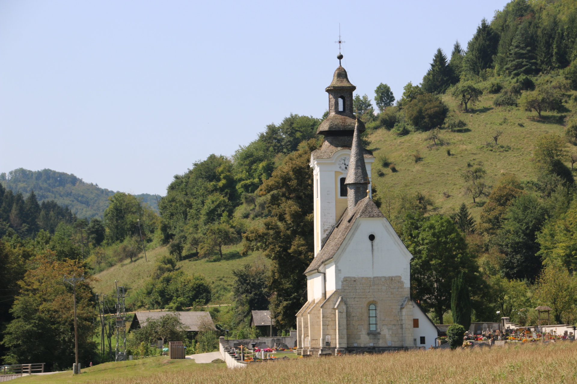
Like all towns it has a church – the Church of St George, built originally in 1146.

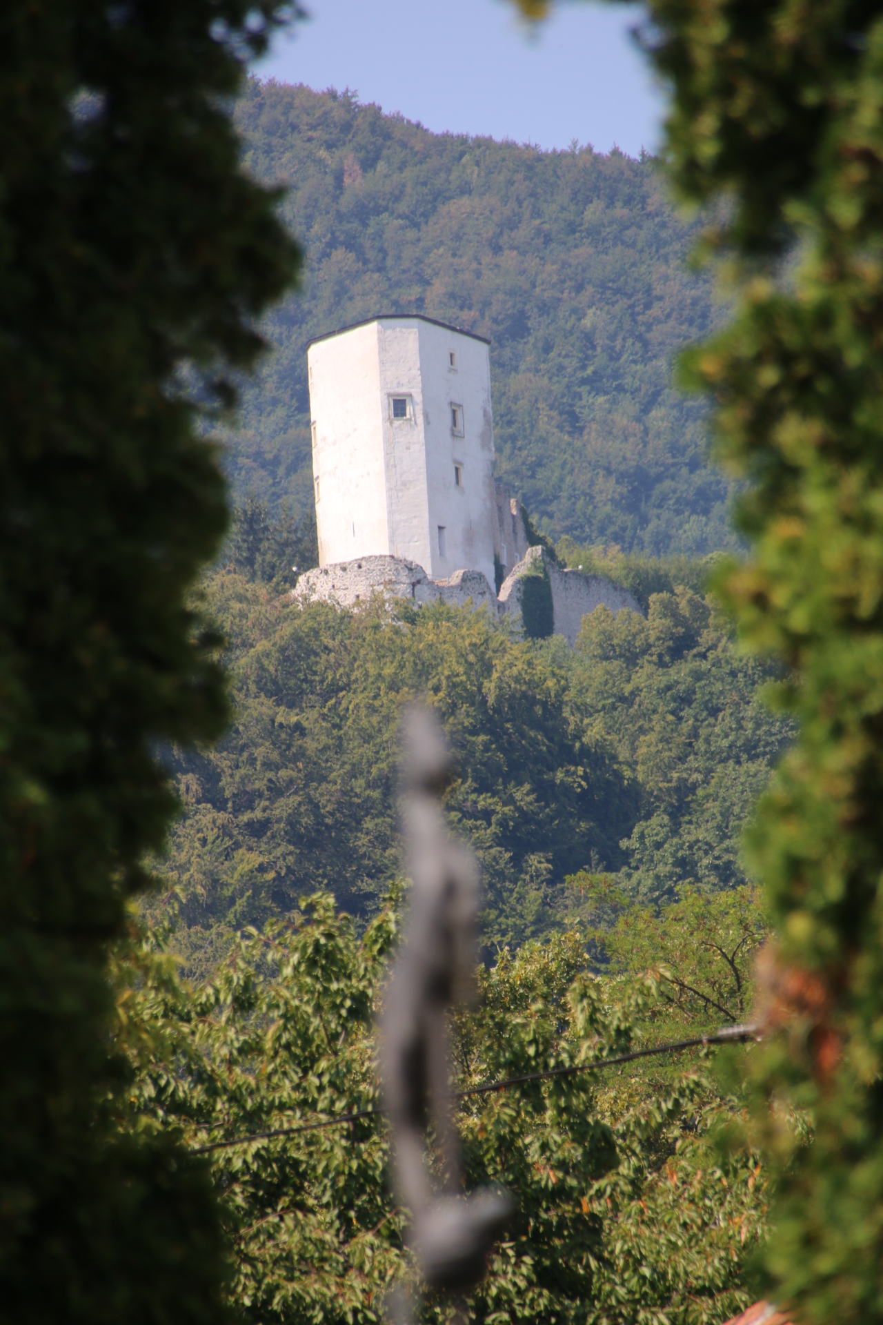
A ruined castle overlooks the town.

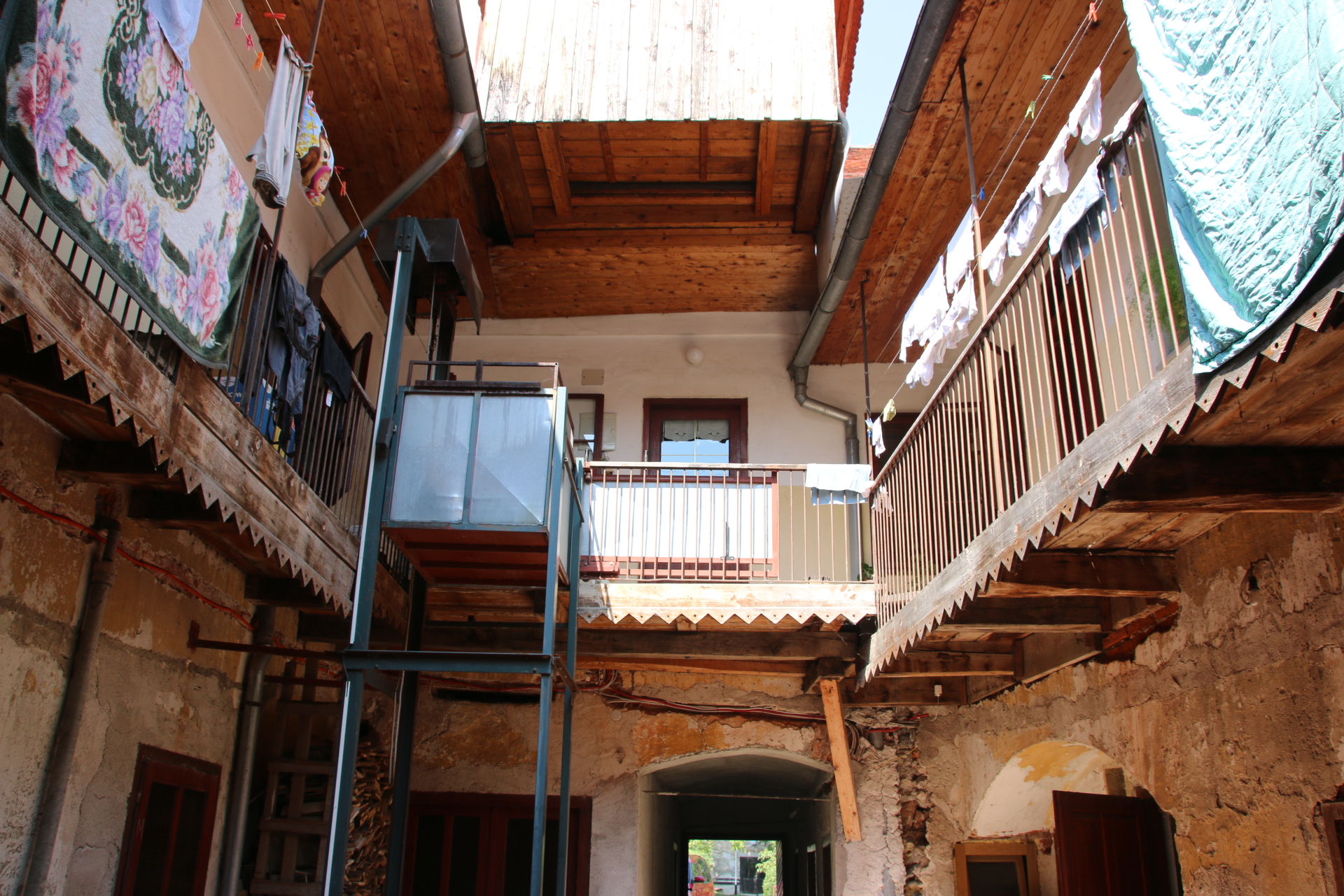
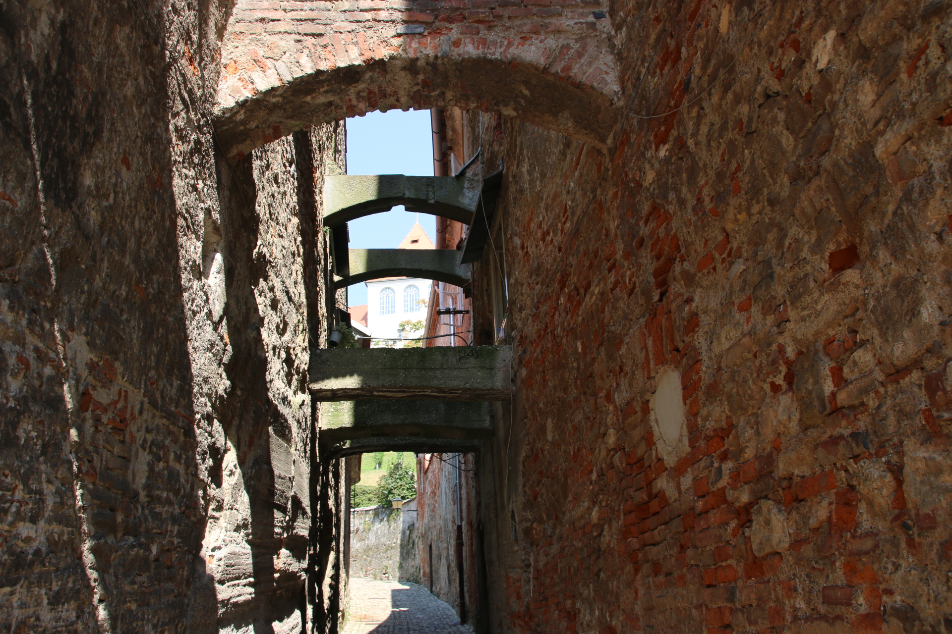
An intriguing main street has smart, plaster-painted houses lining each side, looking dapper in their fresh colours. However further investigation reveals more. Built in the 16th century the houses had new facades created 200 years later. Go through an open door and it is as if you have arrived in medieval times with an open courtyard surrounded by balconies and windows.

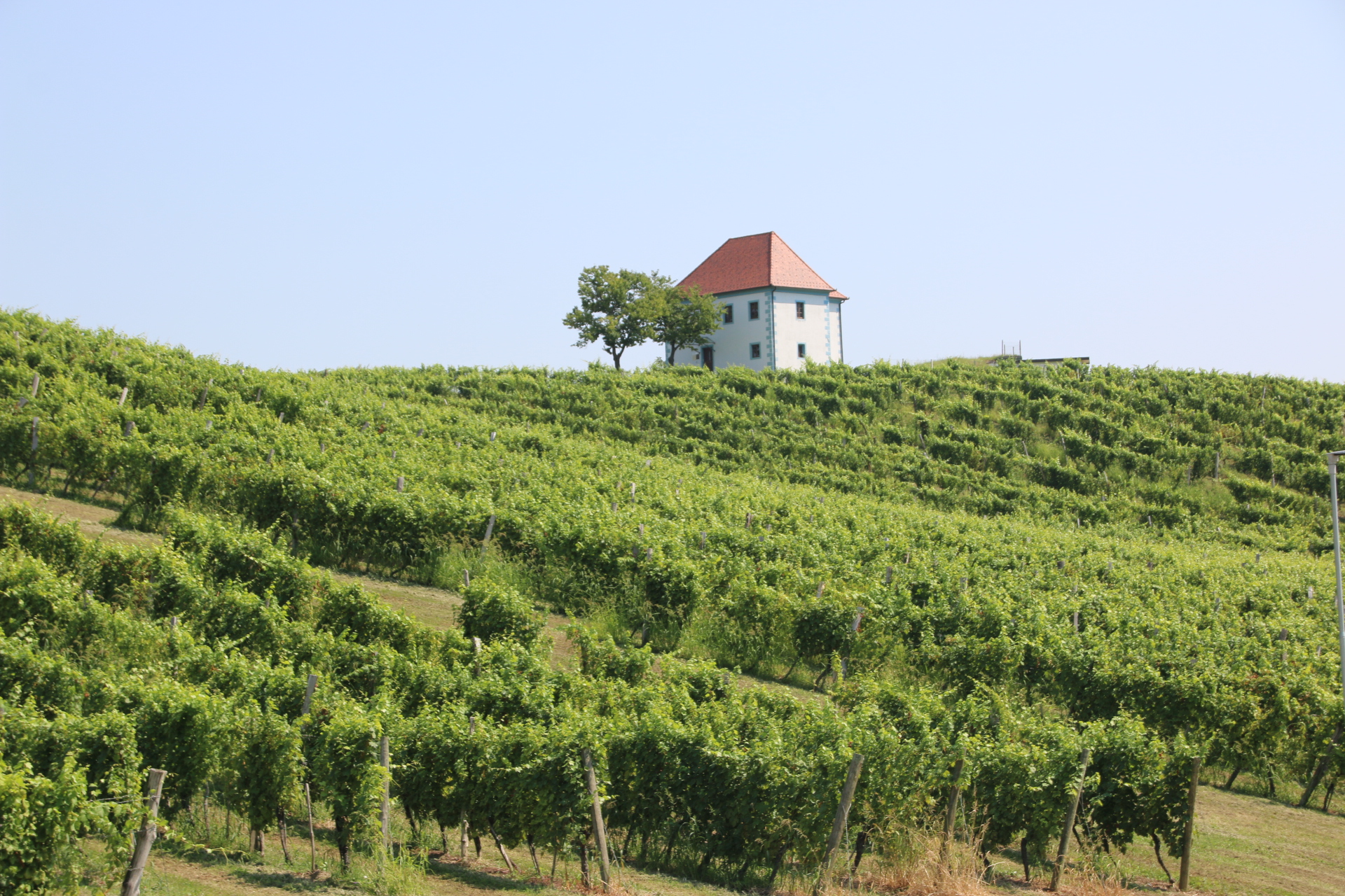
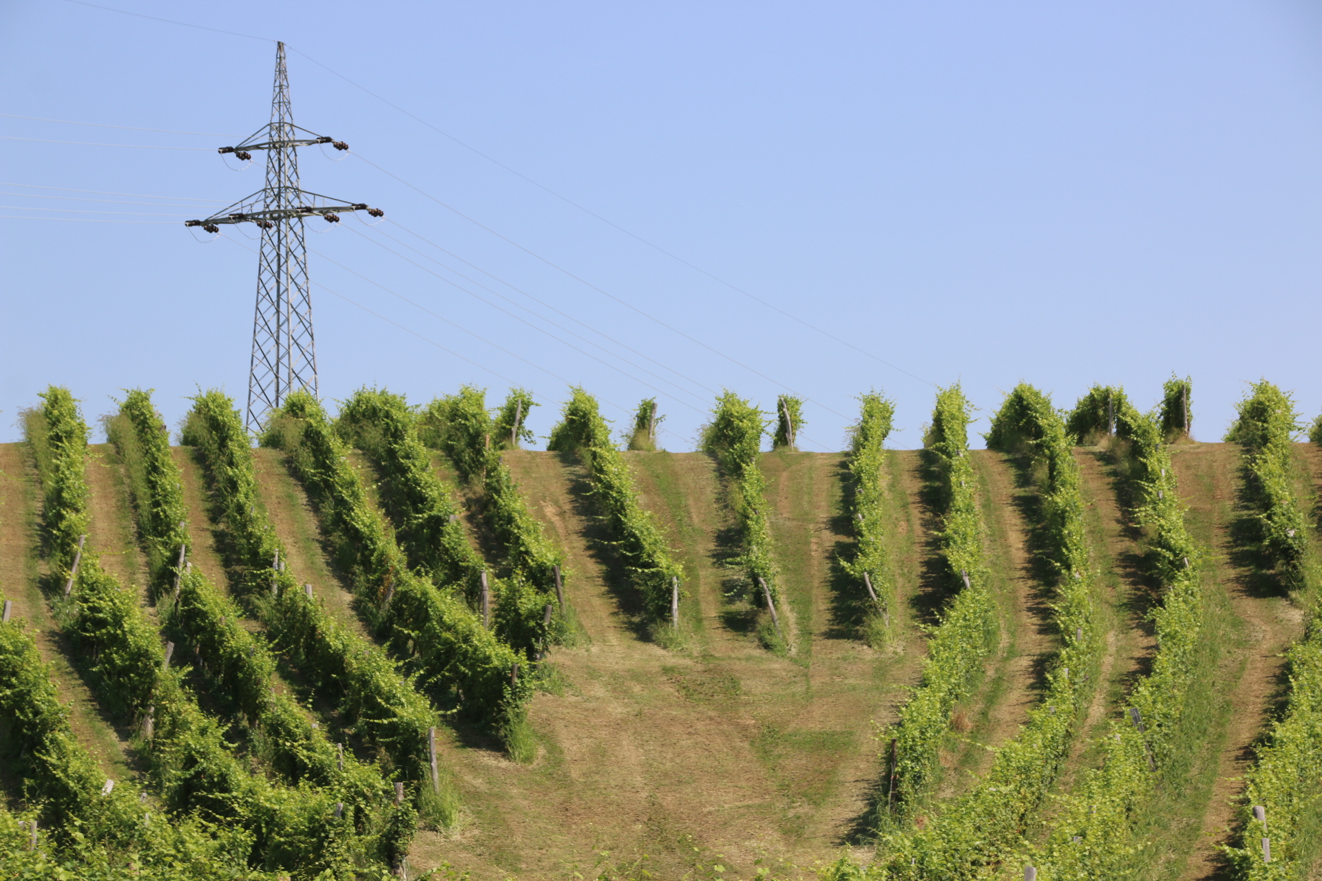
The surrounding hills are patterned with beautifully maintained vines which produce grapes to create high quality red, white & sparkling wines. Wine has been produced here for 800 years.

Every day has a special nugget. Today’s wonder place is the tranquil, partially ruined Zice Charterhouse Carthusian Monastery. It is situated in a small valley surrounded by rolling hills and forest. Over lunch there is no-one there and the full impact of the place hits you. Serene, peaceful, contemplative, harmonious. The white habits of the twelve monks who inhabited these hallowed walls since they first arrived in 1165, still linger in these empty cloisters, studying their ”book for the day’ as they did all those years ago until the monastery was dissolved in 1782.

Just down the valley is the Church of Virgin Mary’s Visitation. This lower monastery housed lay monks who looked after the 12 ‘proper’ guys up at the big one, and also took in guests and travellers.

50 minutes drive and late lunch on the balcony follows. Aaarh. Hard work this exploring.

The streets of medieval Ptuj

I have been quiet for a couple of days. Only because I’ve been chilling out, taking in the view from this place. So magnificent. There are two ways to tell that time is passing here. Firstly shadows surge and shrink as the sun passes over. Secondly the cows wander further away from their milking shed and then, as THE time approaches, they wander back again. But the urge comes around again  and ignites the desire to explore further afield.

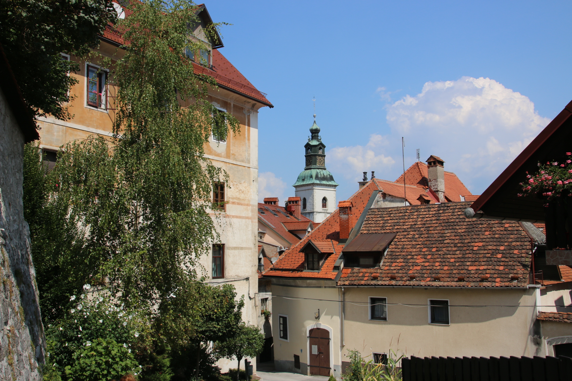
Ptuj rises gently above a wide valley. It is one of the oldest towns in Slovenia, beginning life as a Roman outpost on the banks of the Drava River. The castle, stayed in the 14th century overlooks the clay roofs, the red-roofed burgers’ houses and the river itself.

In front of the City Tower stand the Orpheus Monument, a 2nd century Roman tombstone with scenes from the story of, you guessed it, the story of Orpheus.

Ptuj is an ordinary town with this ancient feel to it. Its squares and narrow alleys and passages ooze history combined with a summer arts festival which juxtapositions installations alongside flaking plaster and ancient brick & stone work.

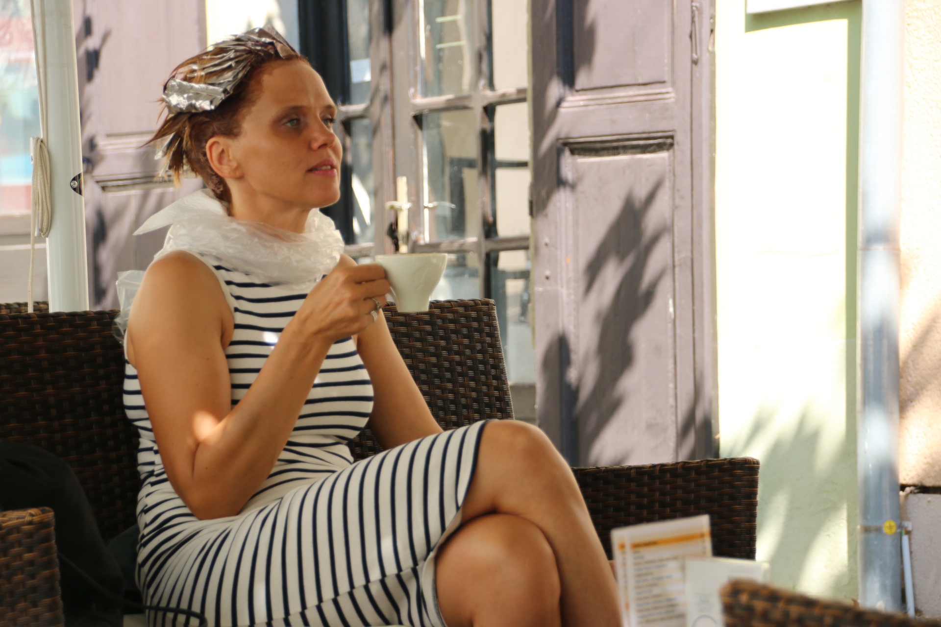
This is not an installation. Just a customer at the local hair salon waiting for her roots to be done. Well in is cooler outside rather than in.

← Back

Thank you for your response. ✨


A peaceful Sunday in the mountains

Heading up into eastern Slovenia sees changes in the landscape. The route is through rolling forested hills that follow wide valleys of farmland. The landscape is more agricultural with round hay bales awaiting collection in the fields rather than the traditional hay ricks. Cattle, proper cattle with white patches on brown or is it brown patches on white, graze in the swathes of snooker table green meadow. In a patchwork of farmland and forests, small allotments and meadows have given way to larger fields of maize, alfalfa, hops (this must be beer country).

Gradually the land rises into the Pohrje Massif, an adventure land of outdoor activities and historical centres with castles, medieval streets and alleys and ancient churches. Sounds like Slovenia all over. Our chalet is on the edge of this region of forests, mountains and highland meadows and made for outdoor activities like skiing, hiking and biking.


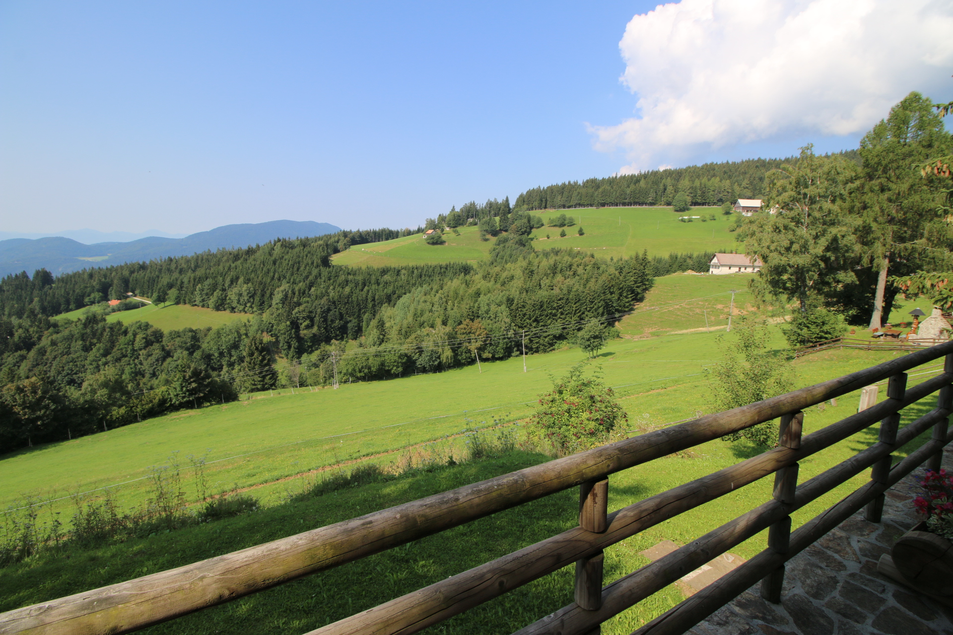
This place is wonderful with the most magnificent view from the bedroom and the balcony.


It is Sunday. The hills and mountains stretch away into the distance. I can count at least 14 layers of pastel-hued greens and greys laid out for my eyes to feast on. Forests, fields, farms, barns, hills, mountains, clouds. The only movement is the slow plod of chomping cows making their lazy way up the field, a soaring eagle or buzzard (a big bird anyway) and a rickety tractor crunching its gears around the tracks. The only sound is the chirp of unknown birds and a gentle breeze whispering in the trees. Twice a church has peeled its bells up the valley. This gives the place a historic, almost timeless feel. I’m going to like it here.
A Saturday in Skofja Loka

It is time to leave the sporty peaks and slopes of busy Kranjska Gozd in the north west of Slovenia and travel to the eastern part. As I said, everywhere is about an hour from everywhere else. So the motorway heads to Ljubljana, spoons around the edge and goes of towards Maribor, the country’s second largest city, a journey of about 3 hours in total. As there is time to spare the medieval town of Skofja Loka is a pleasing diversion.

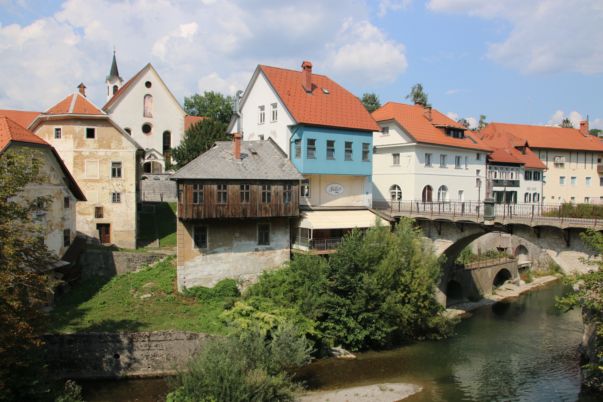
The old town is the usual small nugget surrounded by the functionality of modern apartment blocks and administrative buildings. The most evocative approach to this ancient centre is over the 14th century Capuchin Bridge and through the arched gateway.
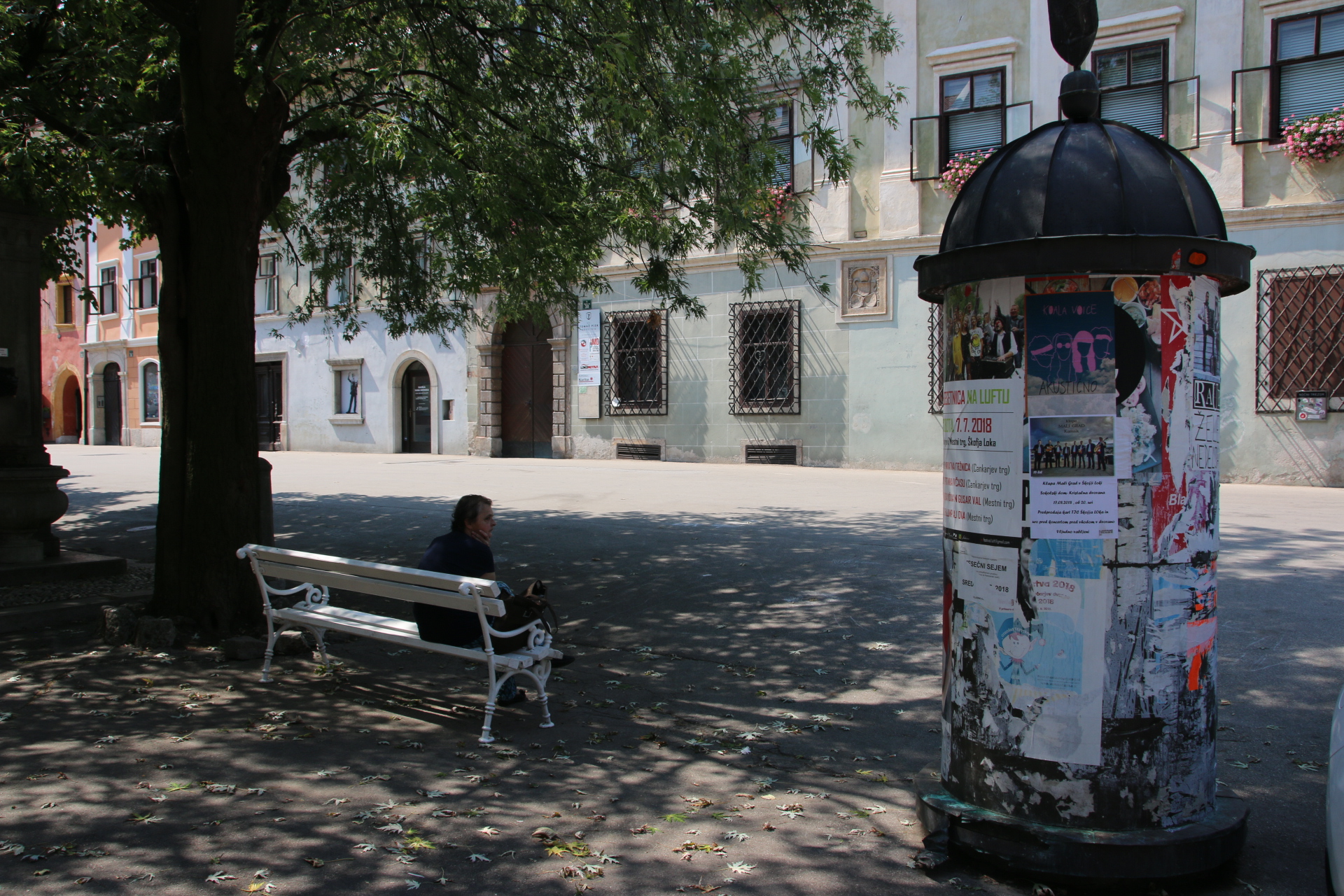
Mestni Trg is a long square with pastel-hued, 16th century burgers’ houses lining each side. The umbrellared cafes are busy. A few trees provide shade from the midday heat which slams down onto the cobbles and flag stones and sends folk into the shadows or indoors. Few people venture out and brave the bright sunshine.


The main exception seems to revolve around the town hall. Four wedding parties follow each other in to town – one in a white stretched-limo, one in a decorated Deux Chevaux and two on foot. One has a guy with an umpahpah accordion, one has some piped music from a speaker, one has an orange bouquet that gets flung around a lot and one has guys with torn jeans and some very scary modern haircuts. In turn, with the bride in all her finery, each party hangs about in the street for a bit and then takes over a cafe. I am not sure if this is after the ceremony or before it. Not important. They all seem to be very happy and having a good time.

The castle, having a bit of an upgrade, stands proudly over the roofs and spires of the town – an ordinary town on a Saturday in Slovenia.


The wonderful drive up the Soca River

So it’s up from the coast today and back to the mountains. Rather than a mad dash up the motorway, pootling is called for. There is a very simple motorway system in Slovenia which is that they all, all four of them, go through Ljubljana and that everywhere (the mountains, the ski slopes, the coast) is about an hour or so from the capital. So pootling it is. It might take longer but it’s through another glorious area of this intriguing part of Europe.

What else does this wonderful country have to offer? The route heads up the western side of the country where it borders Italy. Slovenians get a bit upset about this bit as Trieste used to be part of their country but as part of the post-war settlement it was given to Italy. We head for the ridges and rolling hills of the Vipava Valley and a landscape that mirrors that of northern Italy in general and Tuscany in particular.


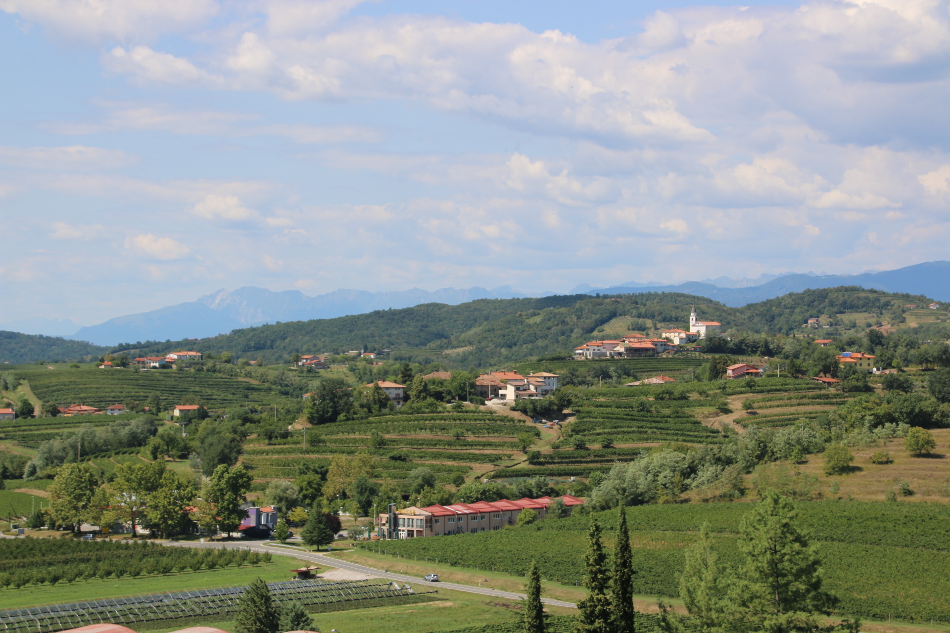
This is Slovenia’s wine region and we go in search of decent stuff to consume at home. Our first attempt took place in the local Spar. Faced with an unknown language describing unknown grapes and depicting the quality of their range in pictures on the label, we purchase two bottles. One has a lovely picture of a large wine barrel – sadly, one sip proved it to be worse than anti freeze and the sink beckoned. The other had won three medals on its label – half a glass at each meal was just about manageable. SO… desparate times mean desparate measures

Dobrovo is the start of the wine region. It has a castle, a ‘vinotecka’ and a few houses. This is exactly what is required – a walk around, some pretty impressive views, a taste and a purchase of 4 red & 2 white. Then it is off to lunch.

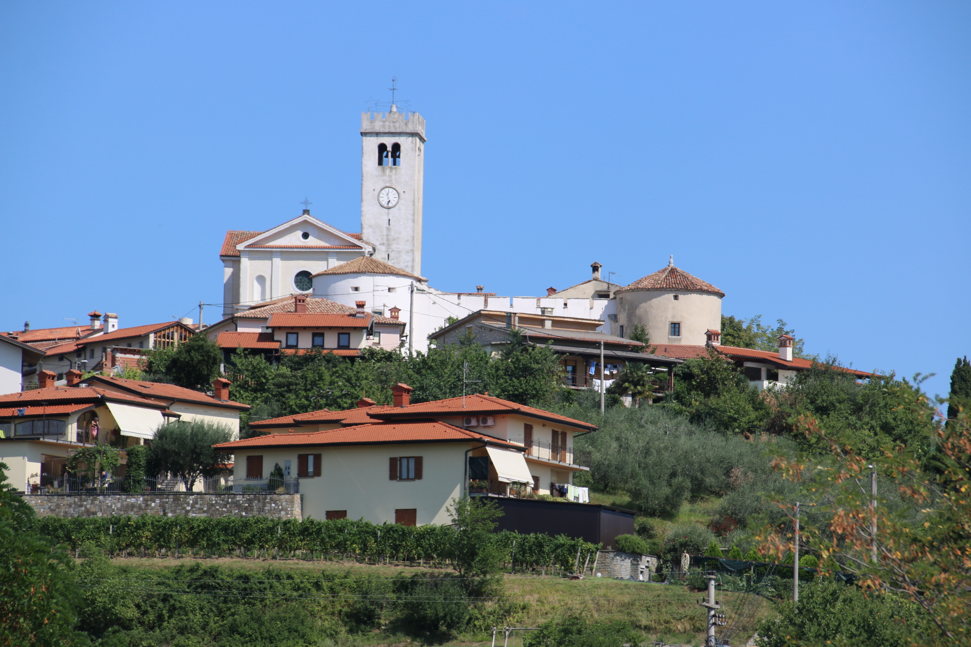
The next hill-top village of Smartno bakes in the midday sun.

The simple family restaurant lines its tables out in the narrow street and offers simple local fayre of platters of meat and cheese or salads, accompagnied by a glass of white followed by a wander around its shaded streets.

From here it is the most magnificent, two hour drive through the Triglavski National Park following the Soca River upstream to its source and through the Vrsic Pass again but this time from the south. This is a beautiful, awe-inspiring landscape of the swiftly flowing, milky turquoise river winding through the wide, grass covered valley with naked or forest-covered peaks towering ahead and on either side.

It is unbelievable to discover that this green and glorious land saw the horrors of trench warfare for 2 and a half years in WWI. 500,000 Italians were shot, starved or gassed when they came up the against the German lines and 300,000 taken prisoner. The fighting was horrific on both sides but the territorial gains for each were minimal.

This is yet another landscape in Slovenia where around every corner there is a gob-smacking view of forested ridges, craggy sun-kissed peaks and mountains, open farmland, fortified village, traditional hay ricks, campsites snuggling beside the rushing, clear waters, tall-standing church spires that constantly surprise the visitor. It is so impressive as to draw yet another ‘wow’ or ‘OMG’ or something a bit more intelligent like ‘that’s aamazing’. Everywhere there is a notice for hang-gliding, canyonning, hiking, canoing and any other forms of exercise that I have never heard of. Unable to take photographs  to capture an image of the valley as I drive I have to resort to an image from the net which does it poor justice but you get a flavour of glorious scenery that constantly surrounds you.

Just to say that the Soca Valley must be one of the most beautiful drives in the whole of Europe.

Piran’s Venetian glory

After the storm of last night, this morning was a different day and a different light in which to view this gold nugget on Slovenia’s short coast. Piran is one of the best-preserved historical towns anywhere on the Adriatic – a gem of Venetian Gothic architecture. The Greeks and Romans developed the town as a port but its real importance came in the 13th century, when for five centuries Piran supplied its Venetian rulers with salt.

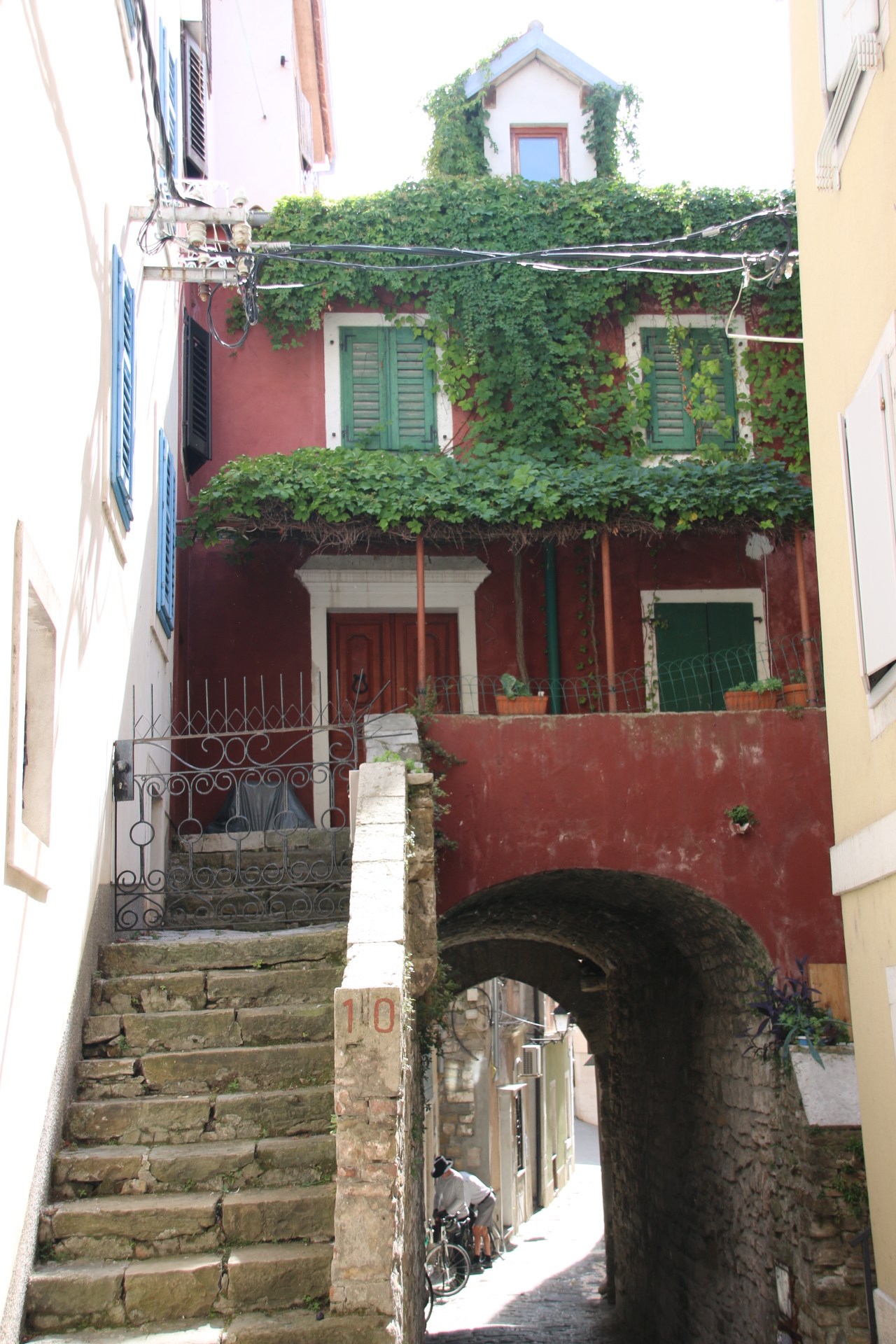
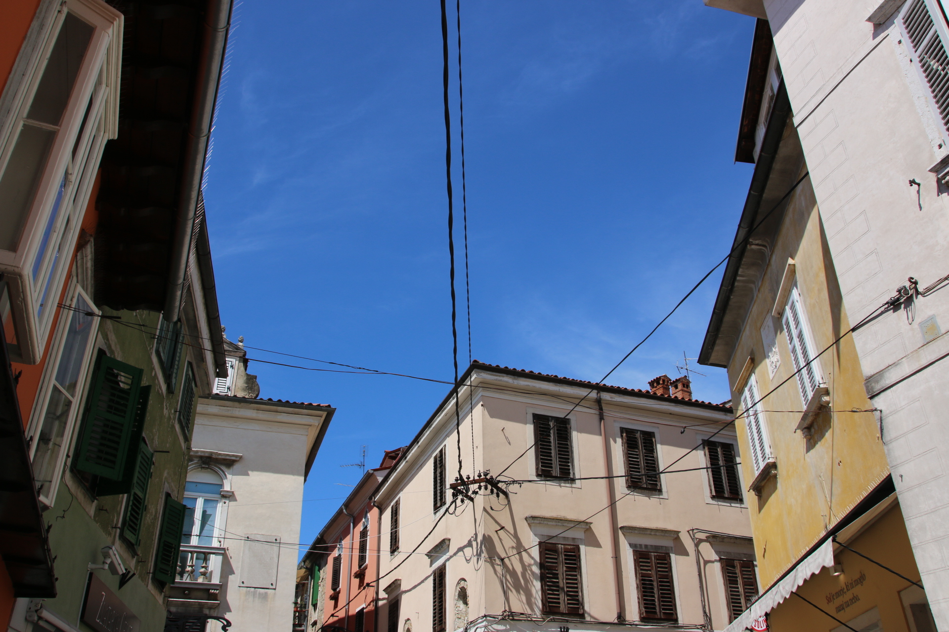
All right, the place could have more than a summer bustle to it, as a constant stream of cars and buses and ferries drop off visitors within the town’s pedestrianised cobbles and pathways but it is easy to lose them within the narrow, dark, enclosed, medieval streets. Then you can get hooked on the atmosphere within winding alleyways and on ancient steps. When I say narrow I mean narrow. There is hardly room to hold one arm out before scraping an elbow along ancient plaster, let alone swing a scraggy medieval, cat. Steps and stairways have been worn away by centuries of salted breezes and padded feet.

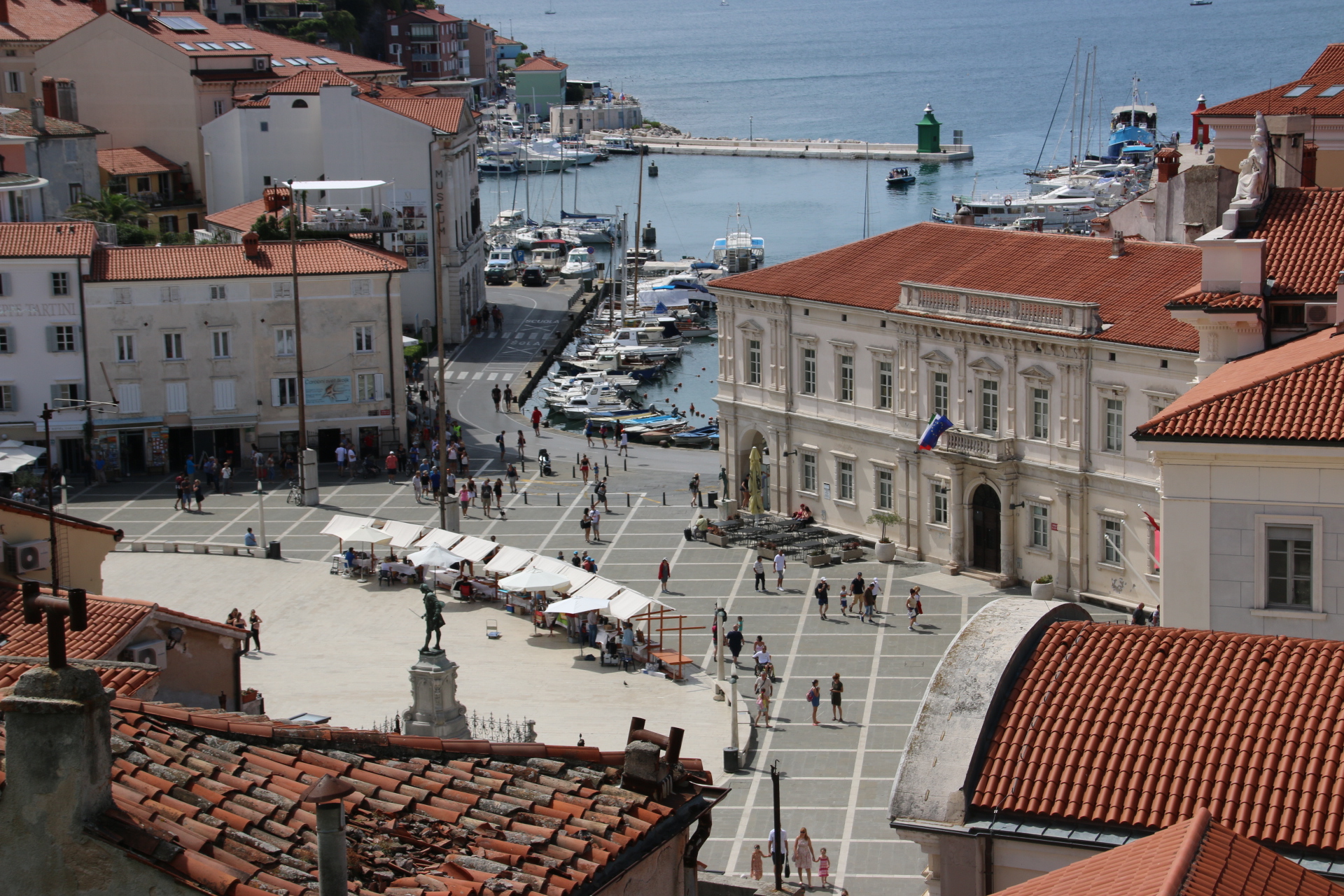
The main act of Piran has to be the pastel-toned, marble-paved Tartinijev Trg which used to be the inner harbour until it was filled in in 1894. The square is oval-shaped really and in the north corner stands the statue of the smartly dressed gentleman whose father was a famous local violinist and composer.


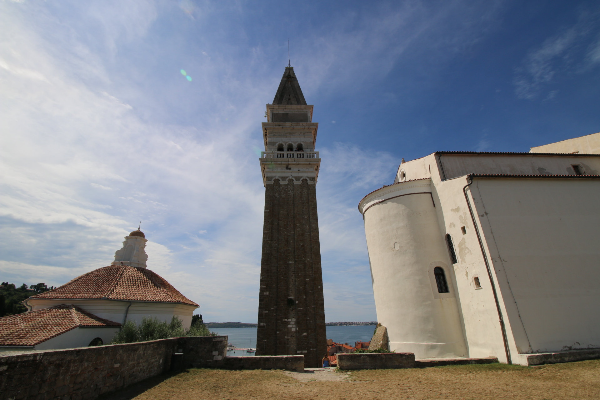
The walk up to the Cathedral of St George is hard work but well worth it. The cathedral, the bell tower and the baptistery next door provide an iconic backdrop to the town whether it is used from below up, or from top down.

Exploring away from Mr Tartinijlev takes the visitor through dark narrow alleyways where sunlight permeates more by luck than judgement. The sea is never far away, glimpsed through arches and cobbled walkways to the right and left.

The 1st May Square (I have no idea what happened on that day) has a delightful feel of ancient history with its pastel colours clinginging onto its flaking plaster.

The small Punta Lighthouse, from which Piran got its name in ancient times, still stands on the tip of the peninsula and is attached to the 13th century Church of St Clement.

20180815113933_IMG_5282Being so bowled over by this place I have let my images be your guide around Piran and provided only a short written commentary each time.
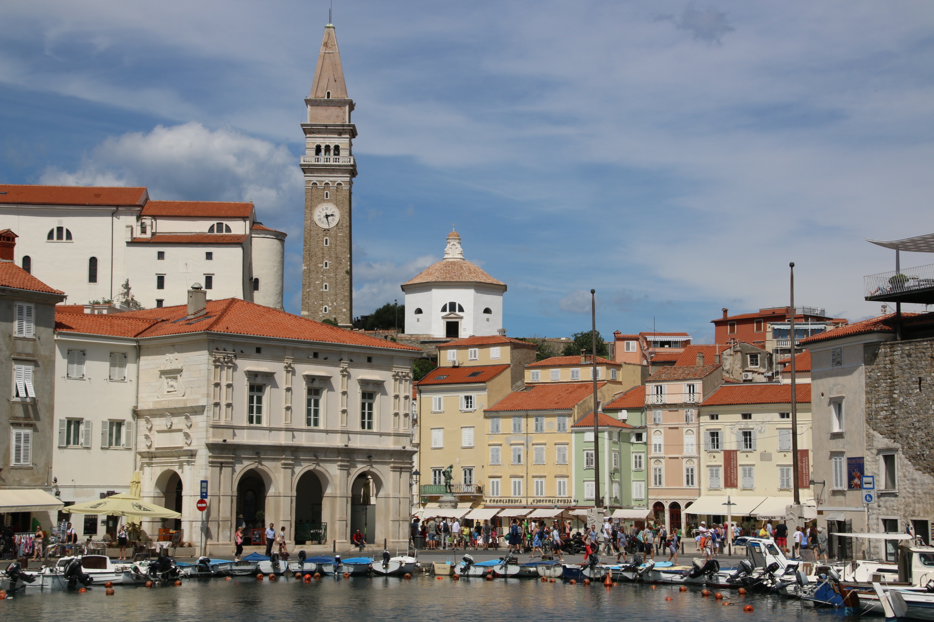
Just to say, that if you are anywhere near Piran, do make the effort to visit. It is magnificent.

Beating the storms to Koper

Awoke to grey heavy clouds and the decision was immediately taken to head south, young man, and seek the sun on Slovenia’s minute coastline. This was so good a decision that a night away from the mountains was required to see the best of two magnificent Venetian ports.

The warm up act is ably covered by the commercial port of Koper. Not obviously attractive until one picks away the industry, the container port, the apartment blocks, the cruise liner dock, the docksides of waiting exports of Mercs & Renaults to reveal the small, medieval heart of the town.


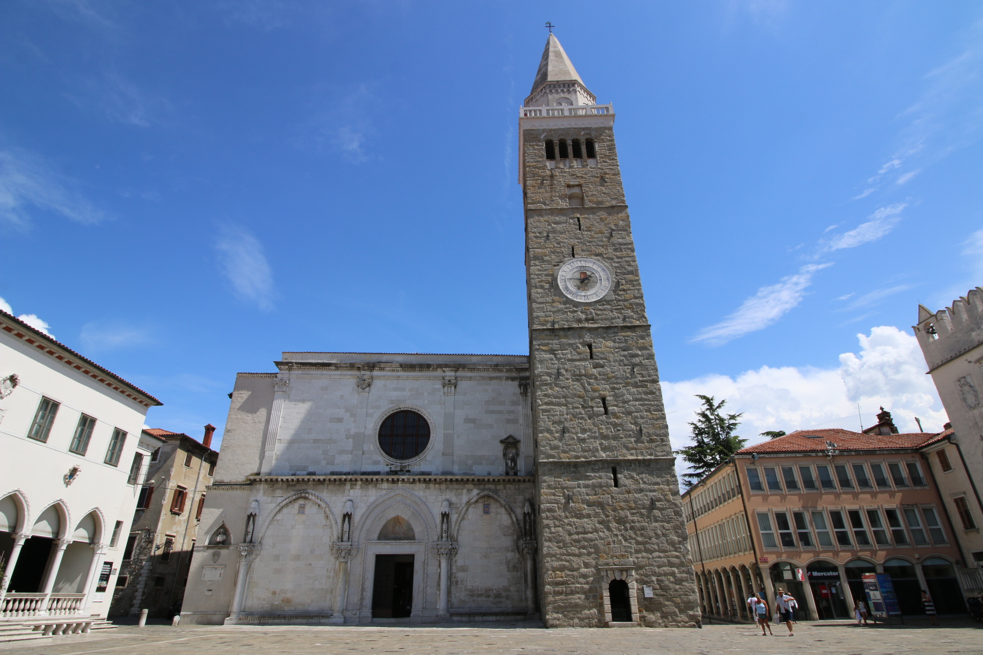
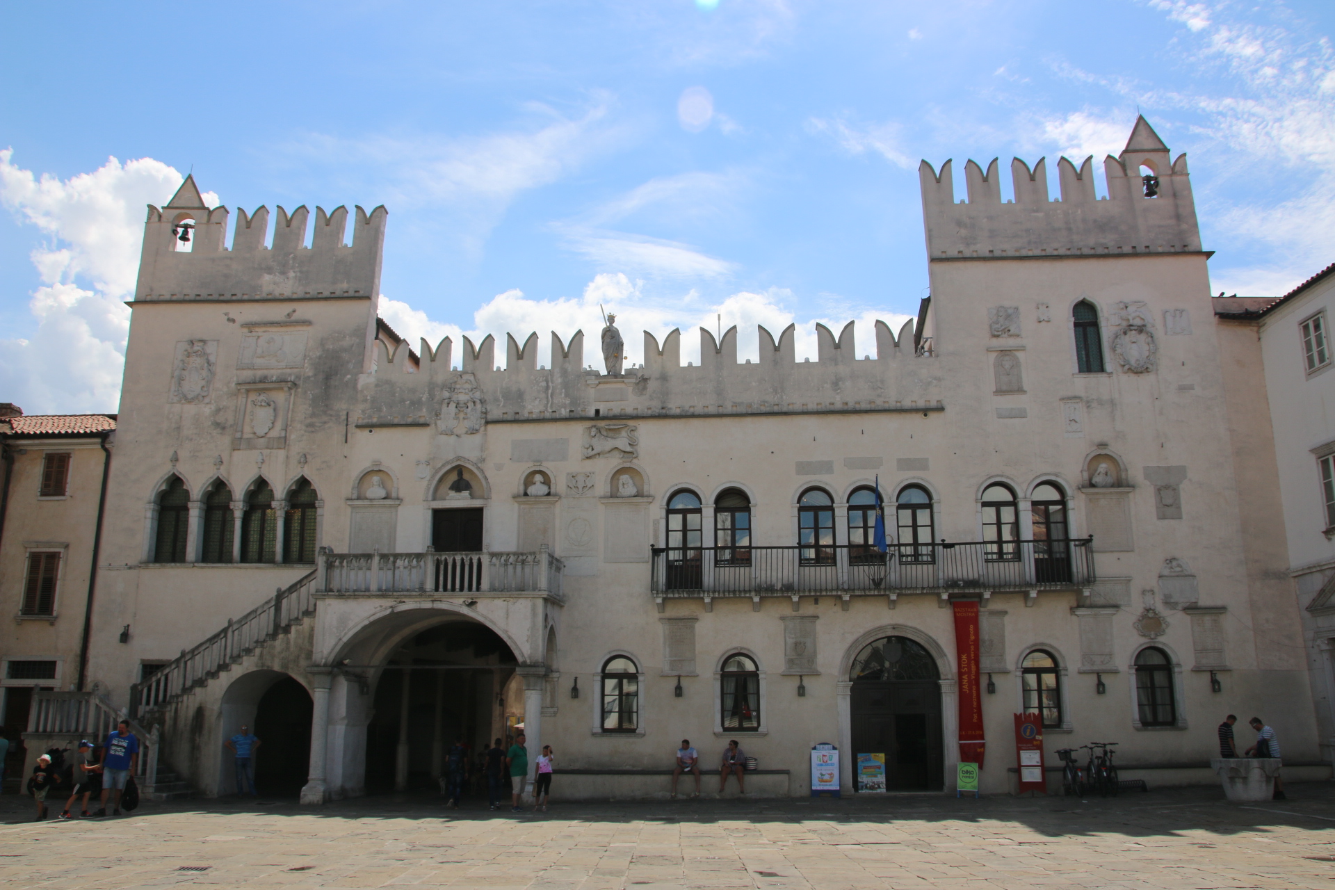
The Ancient Greeks & the Romans developed Koper as a port but its hey day was in the 15th century when it monopolised the salt trade on the Adriatic. Tito Square is a Venetian-influenced stunner, it’s cobbled, flagged surface closed to traffic. The four sides reflect its medieval splendour:

In the western side is the armoury and munitions dump in the 1600s and is now university offices.

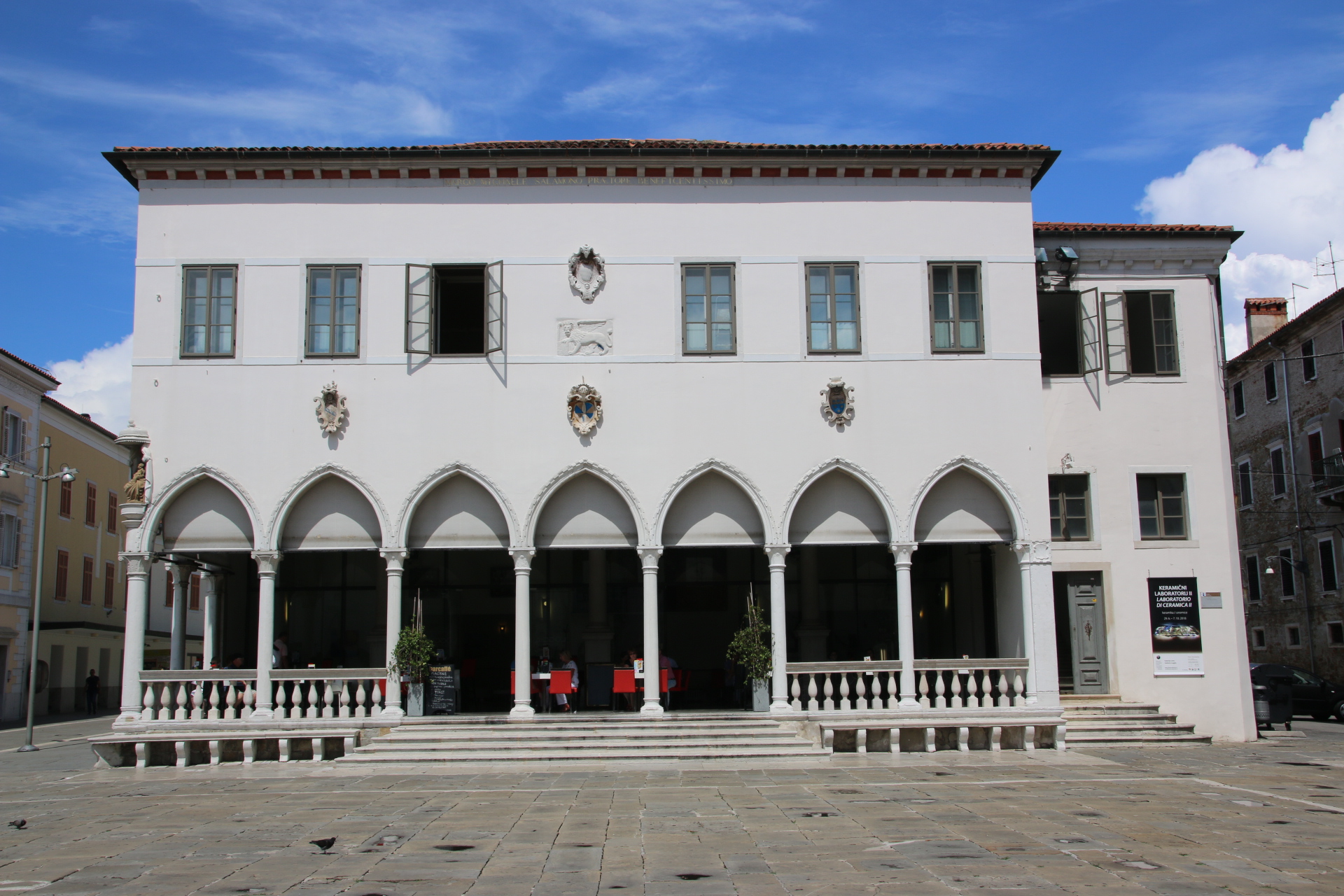
To the north is the Venetian Loggia built in 1463 and now a cafe.

To the east is the Cathedral of the Assumption.

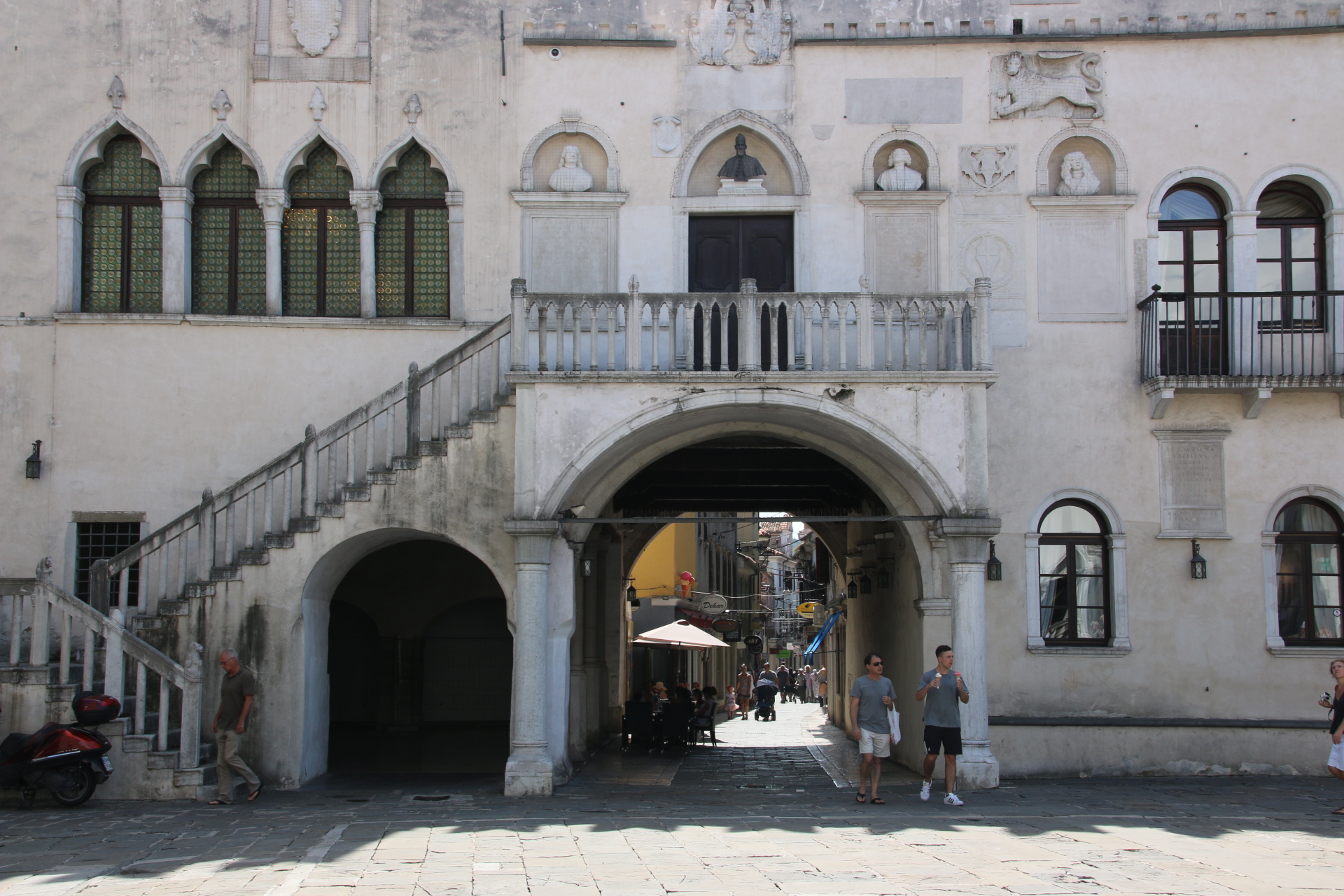
To the south is the Praetorian Palace which dates from the 15th century.

Through its arch the narrow medieval streets lead to the southern gate of the old town.

The main act is a few kilometres down the coast. The storm clouds have followed us all day, always threatening from a distance. Unrelentingly they grow and darken until it is impossible to hold them back and they crash out their rains and roars to coincide with dinner. Here is a taster of the second of Slovenia’s Venetian glory.

Two lakes in a day – Lake Bled or Lake Bohinj?

Lake Bled is Slovenia’s most popular resort and the town, called Bled, swarms with visitors in the summer because word had got around that it is such a special place. The lake is small, just 2km by 1.4km, but it’s 6km circumference is a good walk for visitors. The two main drawbacks are the traffic that crawls through the town and the difficulty in parking. Once out of the cars the town itself and the lake’s shores are big enough to take all the visitors on offer with hotels, parks, lakeside water theme park, trails, toboggan run, tea rooms, ice cream parlours.

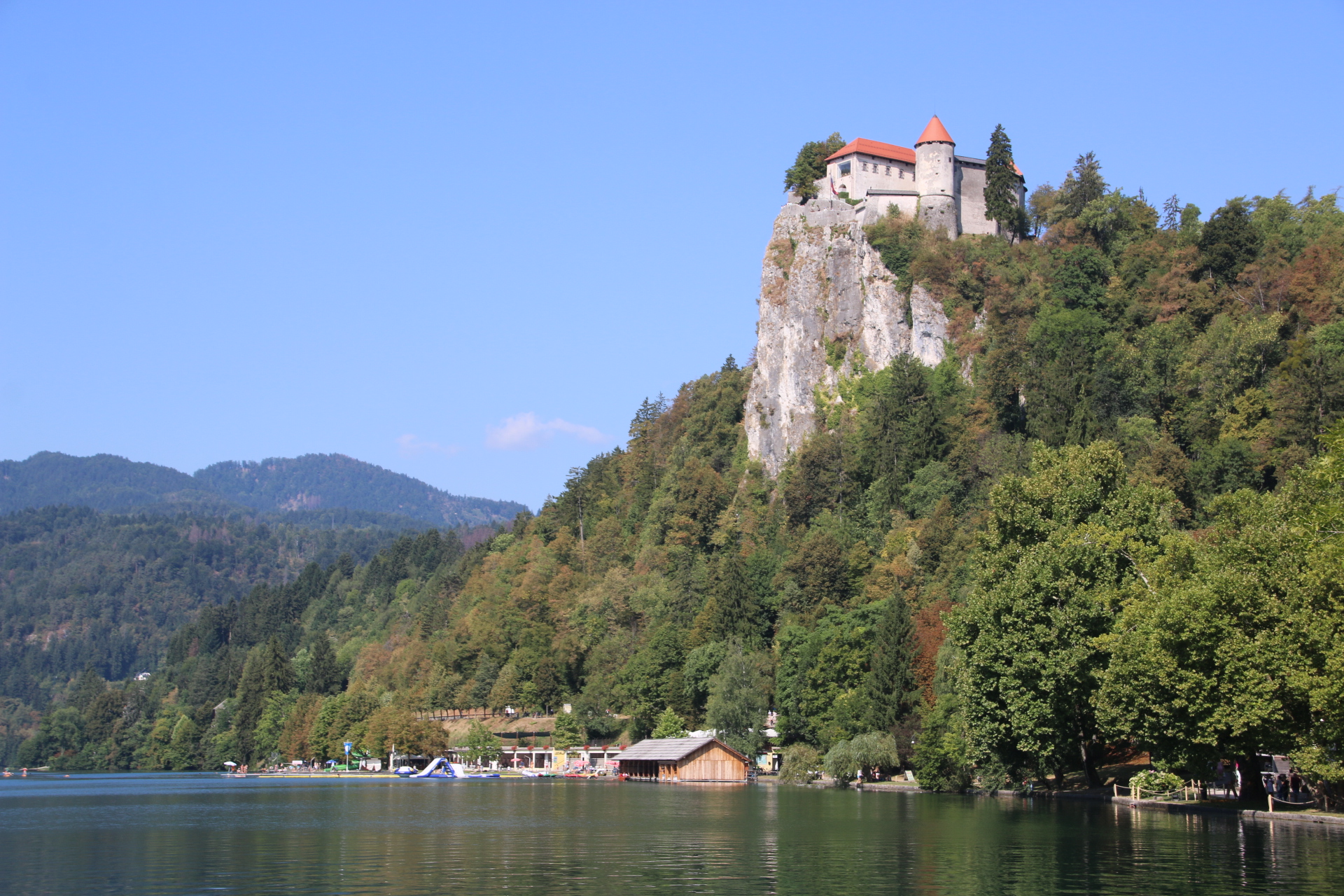
Other than the lake there are three main sights. Bled Castle is perched high up on a steep cliff. This 11th century medieval castle boats towers, ramparts, mosaic and terraces. The path up to it is really steep and taken with care, or take the car and park up there. I should say it is quite expensive to get in and the best shots off it are from lakeside.


The Parish Church of St Martin stands next door to the castle, is steep steeple pointing to the heavens contrasts with the stumpy turrets and the bare faced walls.


Bled Island is at the far end of the lake. The Church of the Assumption dates from the 17th century. To reach it take a pletna (gondola) and get dropped off at the South Staircase, built in 1655.


For a complete contrast take the road south west and see the beauty that is Bohinj Lake. No tea rooms here; just a small unspoilt lake surrounded by high peaks over which clouds glare at the crystal-clear, blue-green water and the folks canoeing/swimming/sail boarding or walking/cycling the trails around its edges. Be sure to park in the proper car parks though. Those who pull onto the verge and make their way through the pine trees were all labelled with a ticket.

I’ll let the images do the work. See what you think. Both are special and well worth a visit. At the end of the day I wanted to spend more time in the quieter, smaller, cool, clear waters of Bohinj.

Passing up and down Vrsic’s appendix

Woke up this morning and all that wet stuff had moved off leaving a few clouds in a clear blue sky. Now you can clearly see what I mean by sharks’ teeth. This is the view from the bed. Not bad eh?

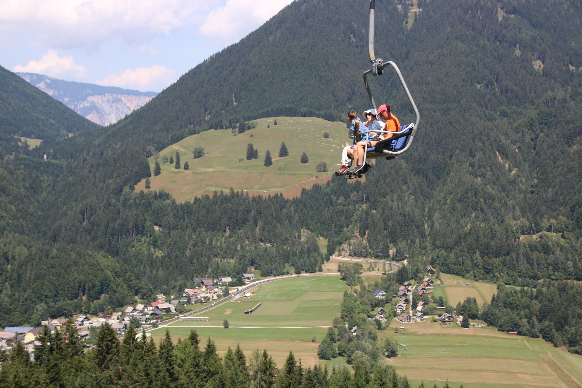
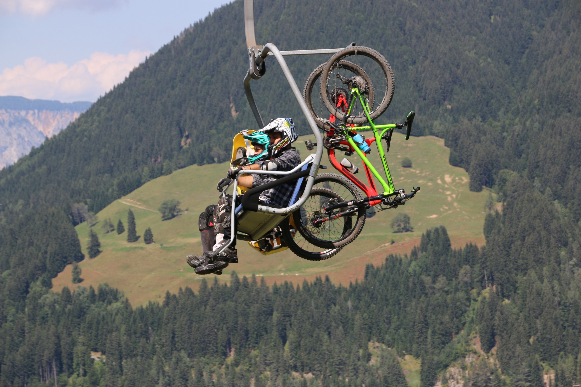
OK. Off to explore the area. 10 minutes by car up the valley is Kranjska Gora, one of Slovenia’s largest ski resorts. Busy in winter, yes. But also multitasking in summer. The ski lift, one of many, takes punters up to the top. From there you can take the trails down on your bike, slalom along the monotoboggan track, hike (carrying an infant if so inclined) along and down, climb up a peak with all the kit and abseil down or sit in a deck chair and have a beer before deciding which one to do to get down. Pete, the car park at the bottom has many overnight vans.

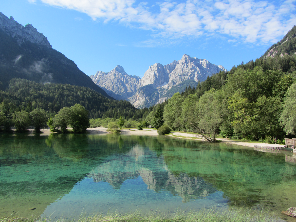
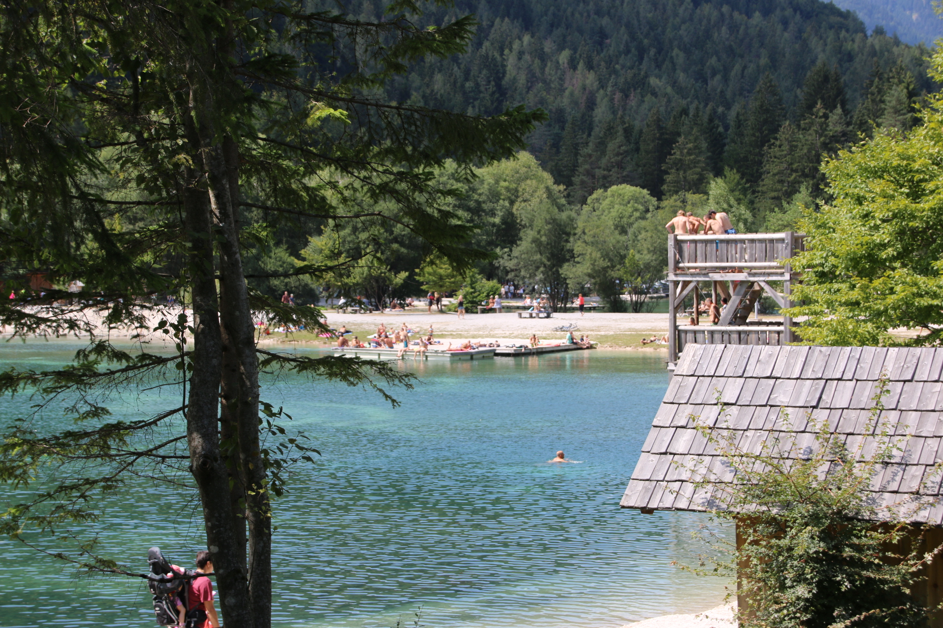
Jasna Lake, just to the south of the main town, is a small glacial lake with white sand around its rim. It is a popular spot for both tourists and locals.

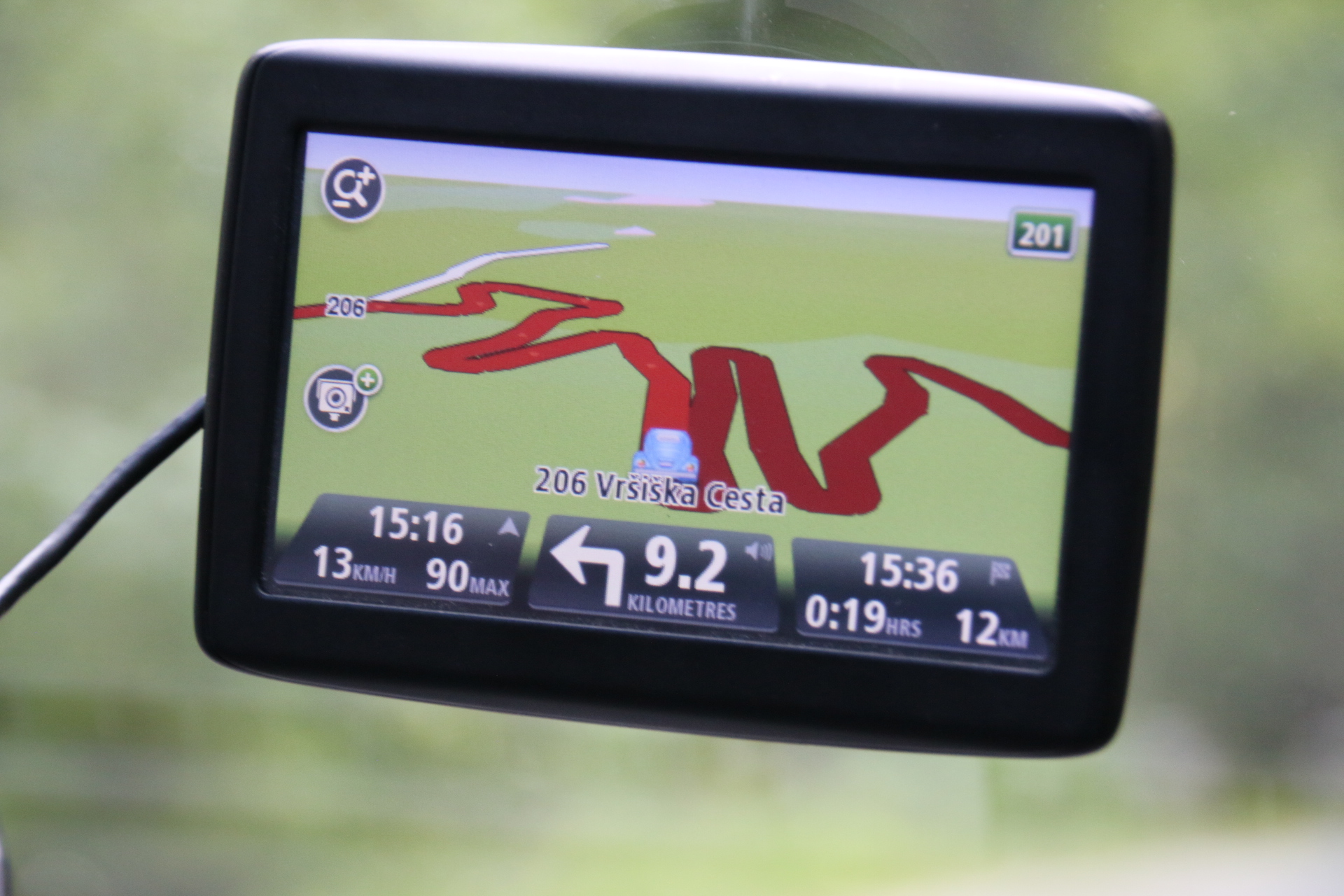
Then it is the challenge of the road over the Vrsic Pass.This engineering marvel was built by Germany during WWI, using hard labour provided by Russian prisoners of war. The trip over the top involves over 50 hairpin bends. It’s a bit like driving along someone’s appendix. Some brave people cycle the tortuous elite to the 1611m summit. Do they really enjoy it? From a hire car it means that you really get up and intimate with some very impressive mountain scenery, even if you do have to negotiate stereo ascents, tight cobbled bends, disintegrating edges, straining cyclists, effortless motorbikes and crawling motorists. Amazing. Well worth the drive.


Zelenci is back down in the valley. A short path leads through the forest to the source of the Sava Dolinka River. Another peaceful spot to end the day.

The sharks’ teeth of Godz Martuljek

Today is a drive out from Ljubljana to the north west into the foothills of the Alps, our base for the first week. The suburbs rapidly pass by and within a few kilometres forests line the dual carriageway motorway. We divert to the village of Radovljica. The old part lines a ridge overlooking the surrounding countryside – a model-trainset landscape even down to the calves lying in the manicured fields of toy town farms with the soundtrack of distant church bells giving it all a bit of ‘atmosphere’. So ordered, so neat.

16th century houses with painted facades line the main street.

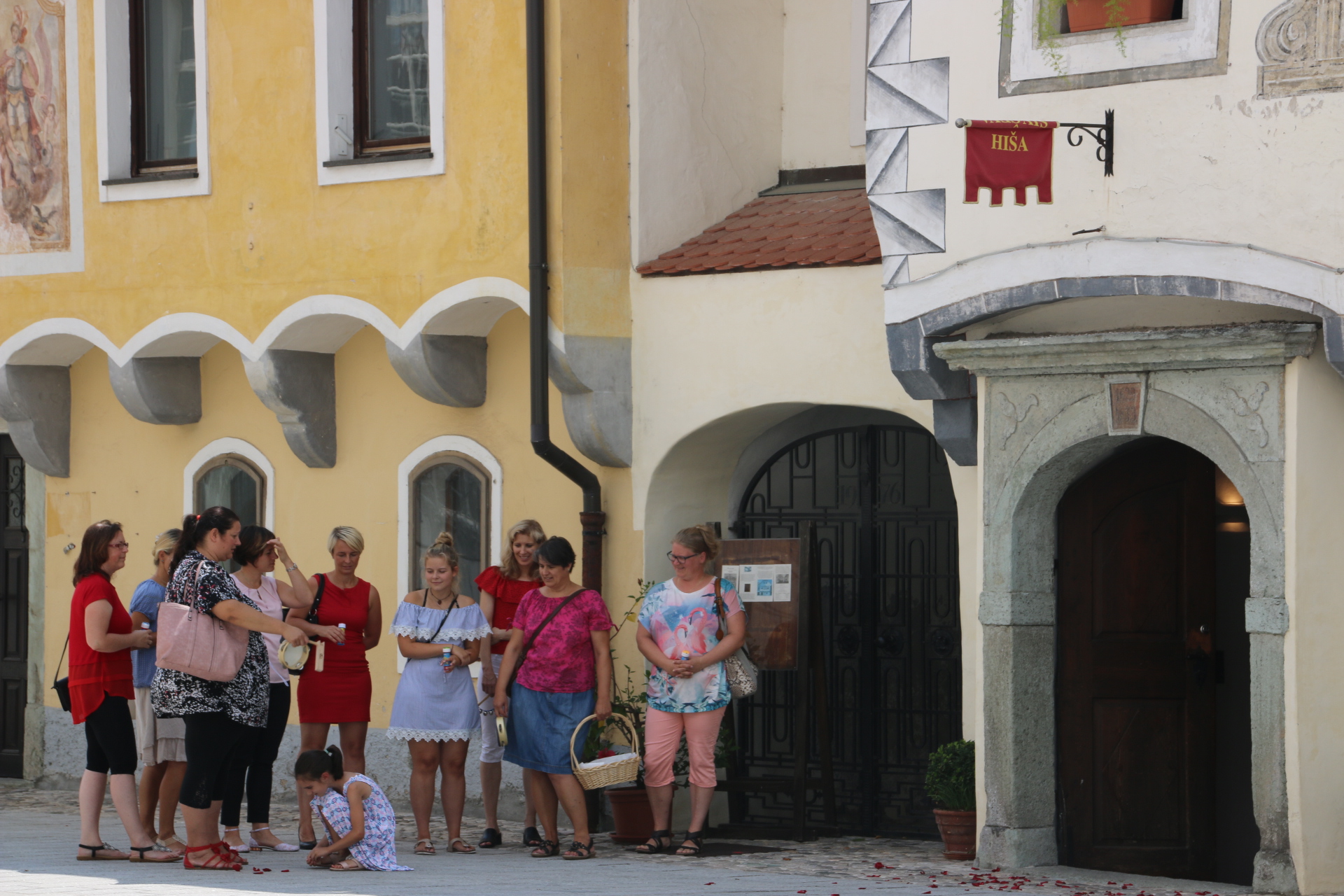
Outside the town hall a wedding party wait for their turn to tie the knot. A bit strange though – not a man in sight.

Round the corner at the far end the parish church of St Peter stays in the shade and provides cover for its guests.

Hidden amongst the houses are the Beekeeping Museum and the Gingerbread Museum. How quaint. Anything to attract visitors.

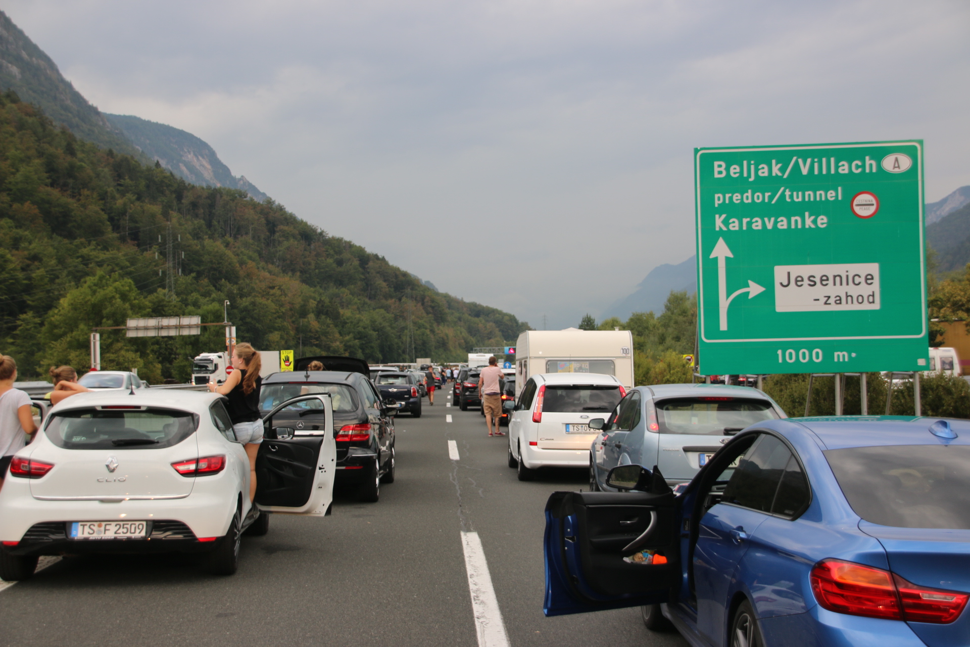
After a coffee, served by yet another charming and softly spoken young Slovenian, and a wander through the back streets, it’s back to the car and the motorway. The clouds falls lower and cover the layers of peaks that line the valley up ahead. Soon it is raining properly. All going swimmingly until the traffic builds, slows and then shuts down completely. Five kilometres of crawling traffic until the required turn off. Only then do I realize it is Saturday and all the cars are German or Dutch, all returning home from holiday and heading for the tunnel through the Alps and blocking my route. Infuriating. So careful when you travel guys.


Then yayyy, the turn off appears after an hour and a half of crawling along. Still, in adversity we make the best of it don’t we – high quality games of I Spy, for instance. A short time on wet country roads. Even the rain is calming and gentle.

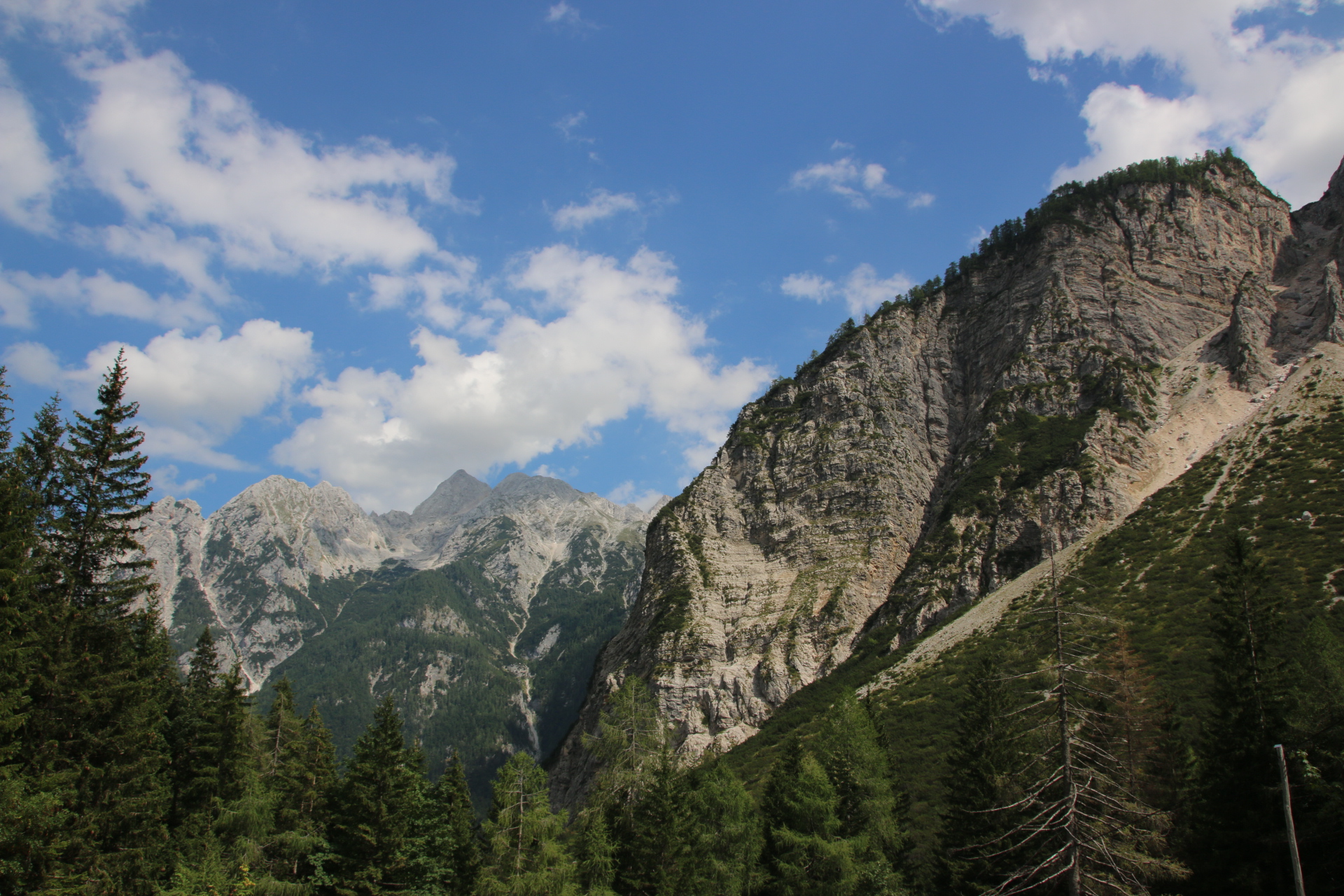
Godz Martuljek appears in the murk and the house is easy to find. Tea is required and as we sit outside on the veranda and under the roof, the rain slows and stops and the cloud thins. Through its wisps and curls the mountains appear behind the neighbouring properties and these are real sharks’ teeth. See the snow?


The best welcome to Slovenia

Hi everyone. This is the start of a trip around Slovenia, a small country sandwiched between 4 bigger neighbours – Austria, Italy, Hungary and Croatia, with a few kilometres of coastline on the Adriatic. First impressions from the view from the plane window and the walk into the airport can be summed up in one word – neat. Having picked up a car it is a short drive to Ljubljana, the capital, through forests and farmland backdropped by layers of sharp mountain peaks like the bottom row of teeth in a shark’s mouth.

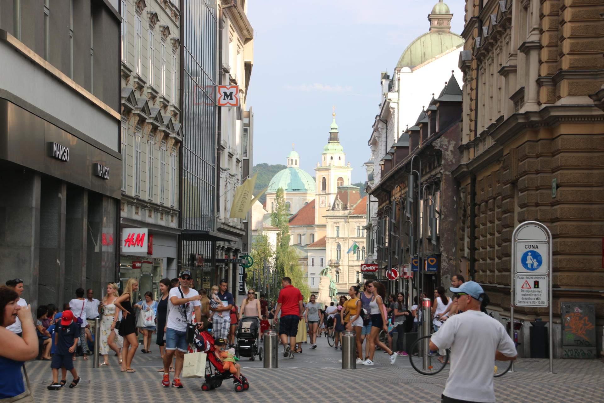
As an introduction to this small country, Ljubljana is magnificent. Walking to the centre takes 10 minutes along wide boulevards lined by tall, grand buildings, punctuated with parks and trees. The centre is protected from the motor vehicle, the only permitted vehicular transport being the occasional electric buggy and the bicycle. The rest of us have to get around the cobbled streets and the open squares using our feet.

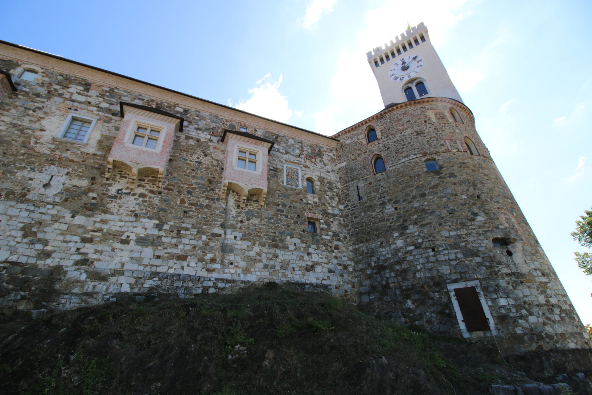
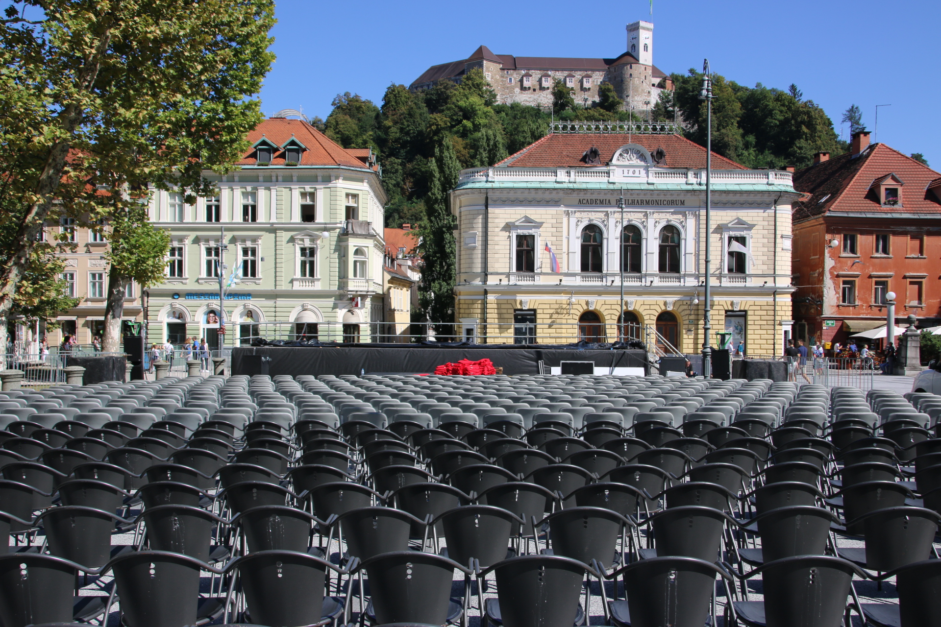
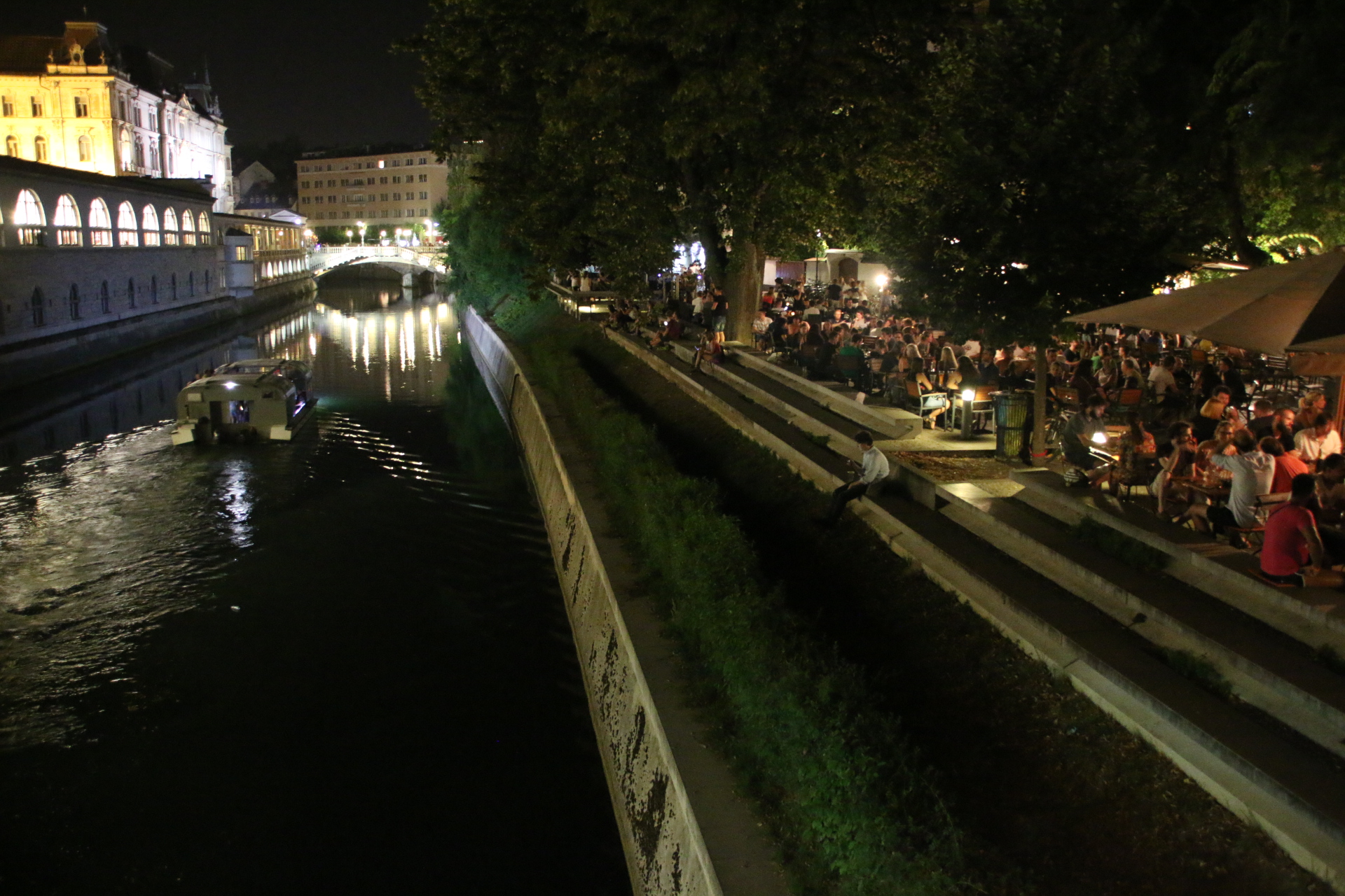
The great thing about the city is that it is small and compact with a warm, familiar feeling that makes the visitor feel immediately welcome and at ease. Through the middle runs the river, a gentle waterway for the chunky sightseeing boats that chug their way between riverside promenades lined with the tables and umbrellas of the cafe culture that pervades this friendly city. Overlooking this elegant patchwork of grandiose buildings and ornate bridges stands the castle, stretched up high along the ridge, protecting the locals and visitors alike.

Several bridges cross the river, many guarded by statues, some of which seem to find it difficult to hide their inner feelings. “Oh no. Not another coachload of tourists.”

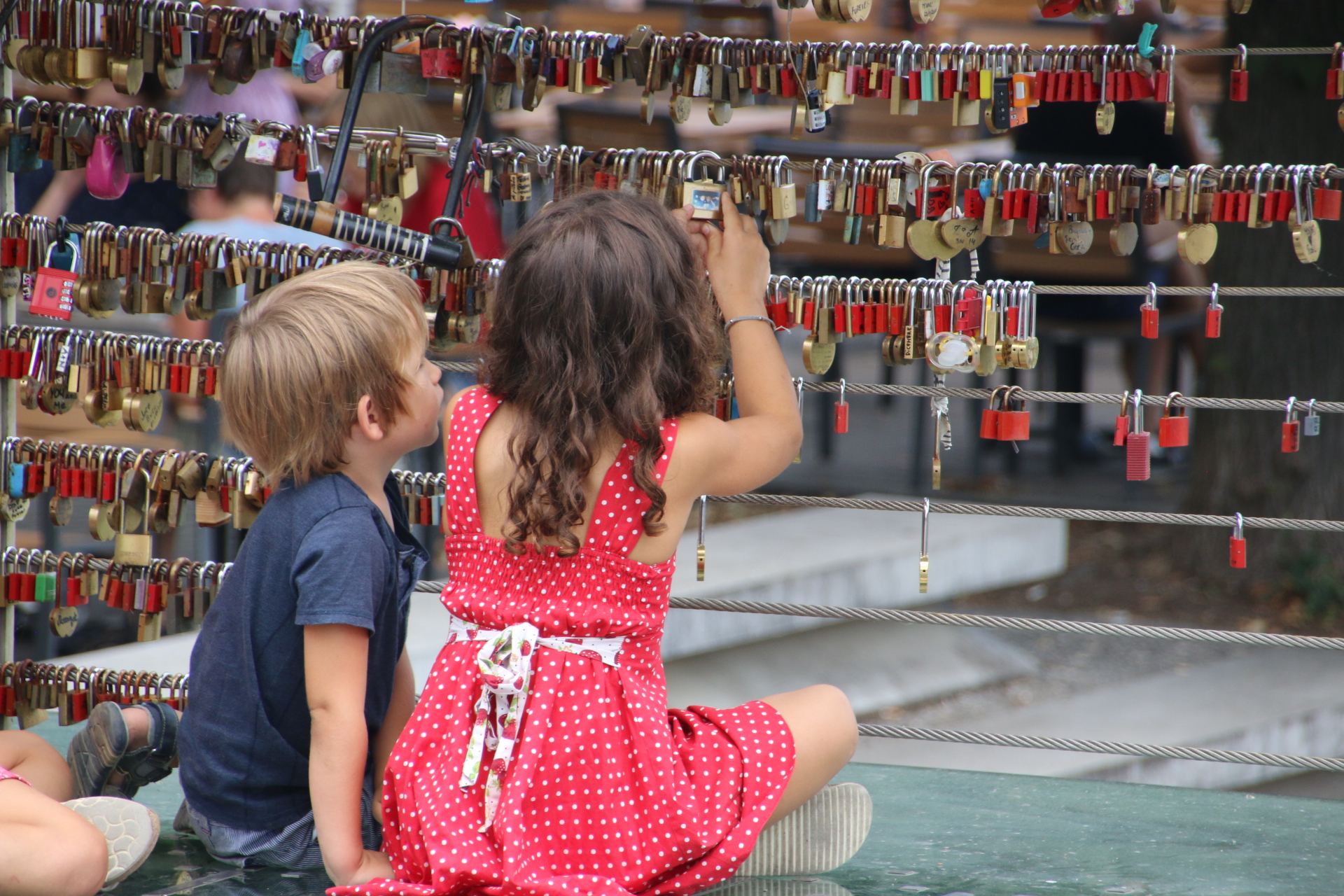
One bridge, Cobblers Bridge, attracts the romantic amongst us and the attention of the young and the old.


Yes, it is busy and yes, there is a constant flow of people from all over, but the place has a real buzz to it, making you feel at home. It just so happens that this first day coincides with the food fair when local businesses from across the country bring their fayre into town to share and sell. Choices are made. An Egyptian wrap and cheese ravioli are purchased and swigged down with excellent local wine. The atmosphere is one of acceptance, of diversity, of welcome.

As dusk falls this buzz is amplified and the city takes on a charm of its own. The tables fill up with diners and drinkers, families promenade, lovers cuddle in wrapped arms, locals look on and buskers busk. The volume of conversation and laughter is gradually turned up, backed up with the bass tones of church bells sounding out the hour and the various rhythms and sounds of street performers banging out their different styles of music.

A wonderful, magical first day.


A day by the seaside at Southend-on-Sea …… or is it: -on-estuary?

The sun continues to shine and draw me away to continue my travels. You may remember that a few years back my journey down the east coast was interrupted when my car decided to stop in a huge plume of smoke and I had to get home on the back of an AA low loader. See, the life of a travel blogger is no easy ride (ooohhh, actually it was very easy!!). So I missed out visiting Southend (on the east coast).

Now, here I have a real quandary. My question, that many of you have helped me with, but no-one head give me a categorical answer, is this: is Southend-on-Sea on the coast as its name suggests? Or is it on the estuary? Even locals cannot give me a definitive answer. But, as its name includes the word ‘sea’ and as it proudly claims to have the longest pier in the world..and as it has Rossi’s ice cream, I feel duty bound to include this long piece of seaside as part of my coastal journey around the UK.

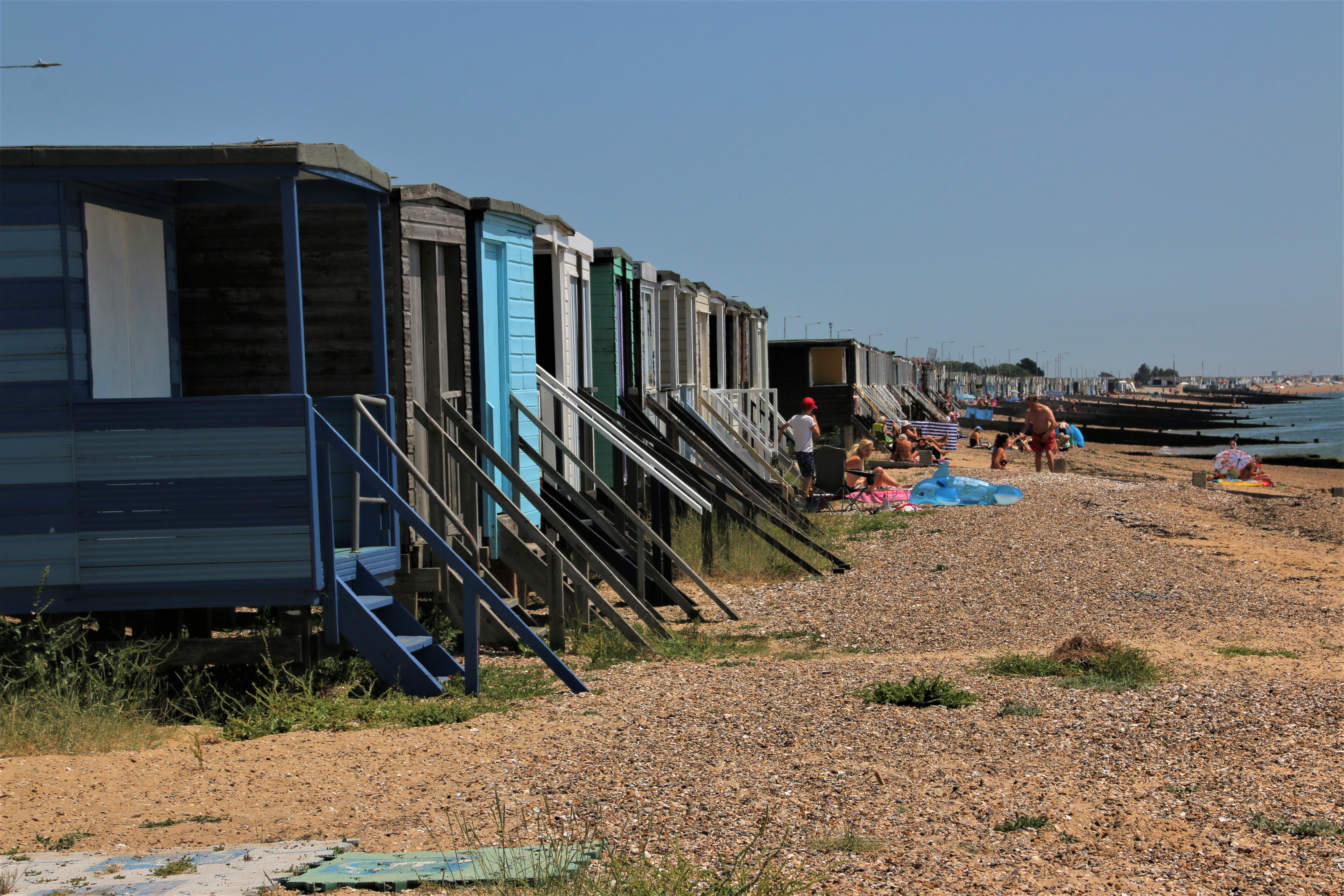
So first into the beach huts and sea defences of Shoeburyness which is tucked neatly around that marshy bit of coast, facing across the estuary to industrial skyline on the Kent bank on the other side.
The beach blends seamlessly into the traditional seaside delights of Southend-on-Sea where Victorian elegance stretches side by side with the coats of colour of fairgrounds & arcades, candy floss, rock & ice cream. Easy to reach from the East End of London by the early railways the resort soon took off with its soft sandy beach and long paved promenade with a line of rather stunted palms, supposed to remind us of the south of France.

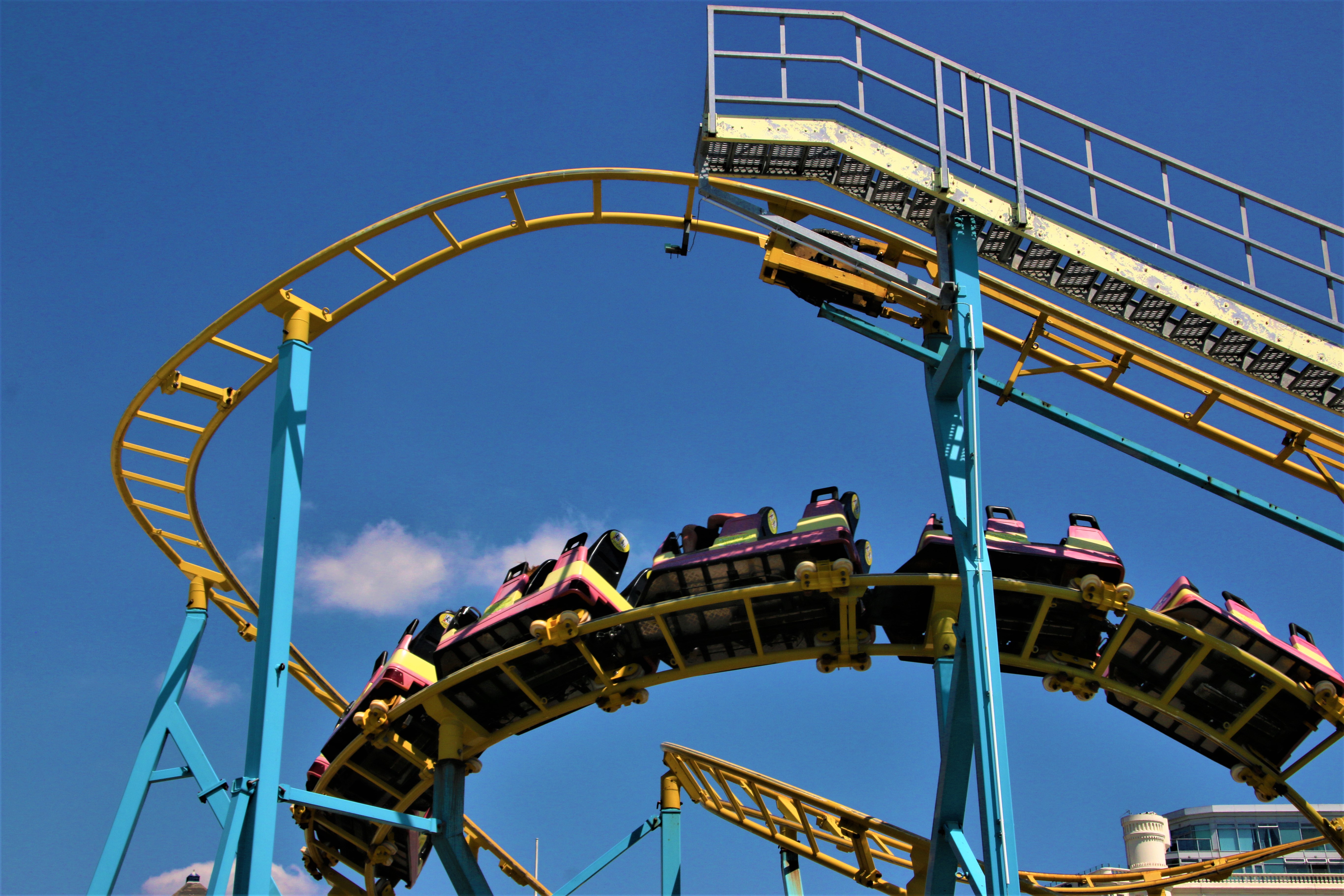
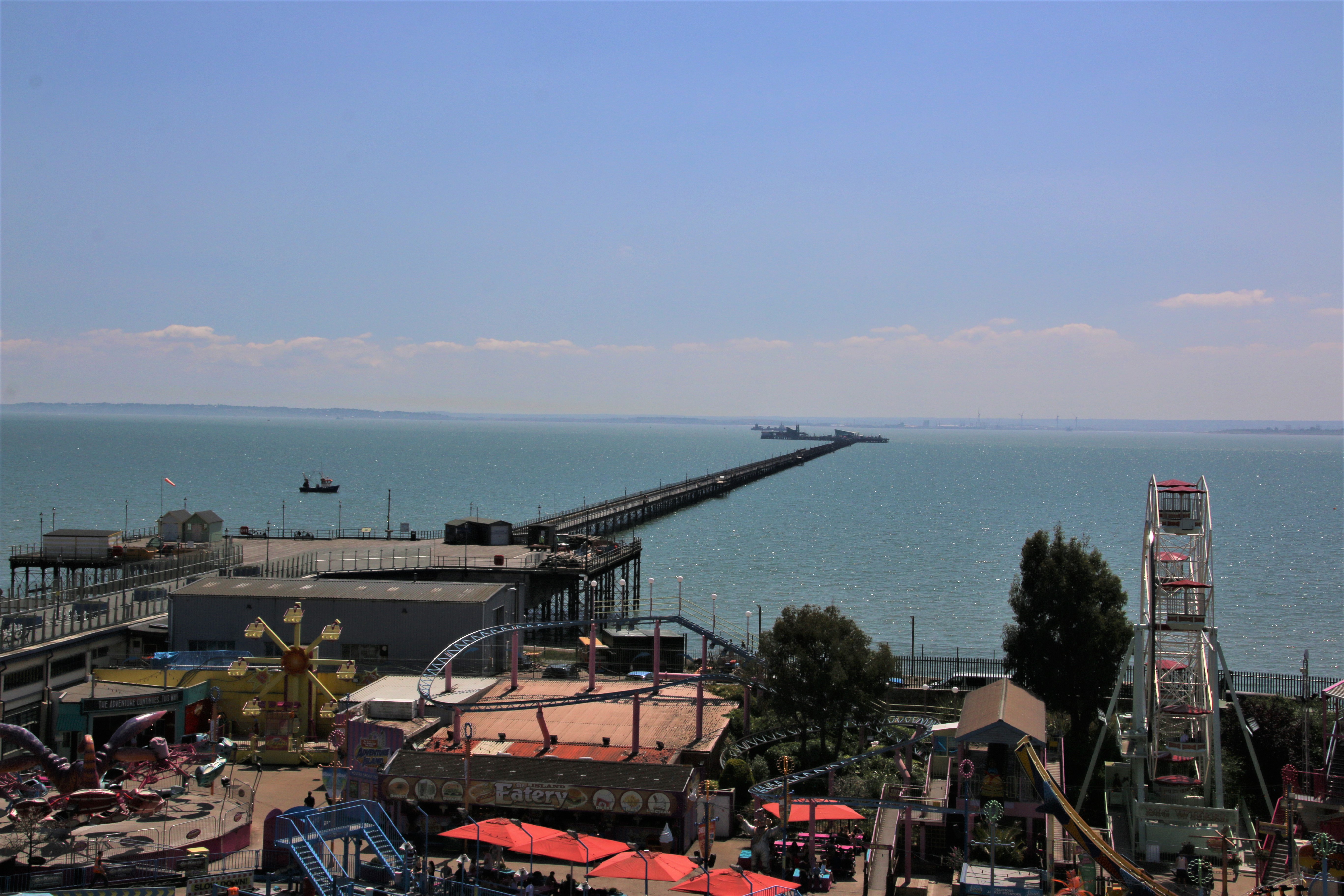
Around the front of the pier a collection of fairground rides rattle and squirm and hiss and scream to let the punters know they are on holiday. The pier itself is rather colossal. The longest pier in the world, it stretches for a mile out into the estuary until it feels like the it touches the far side. You can walk to the end or get the original train. Guess what? I took the train.

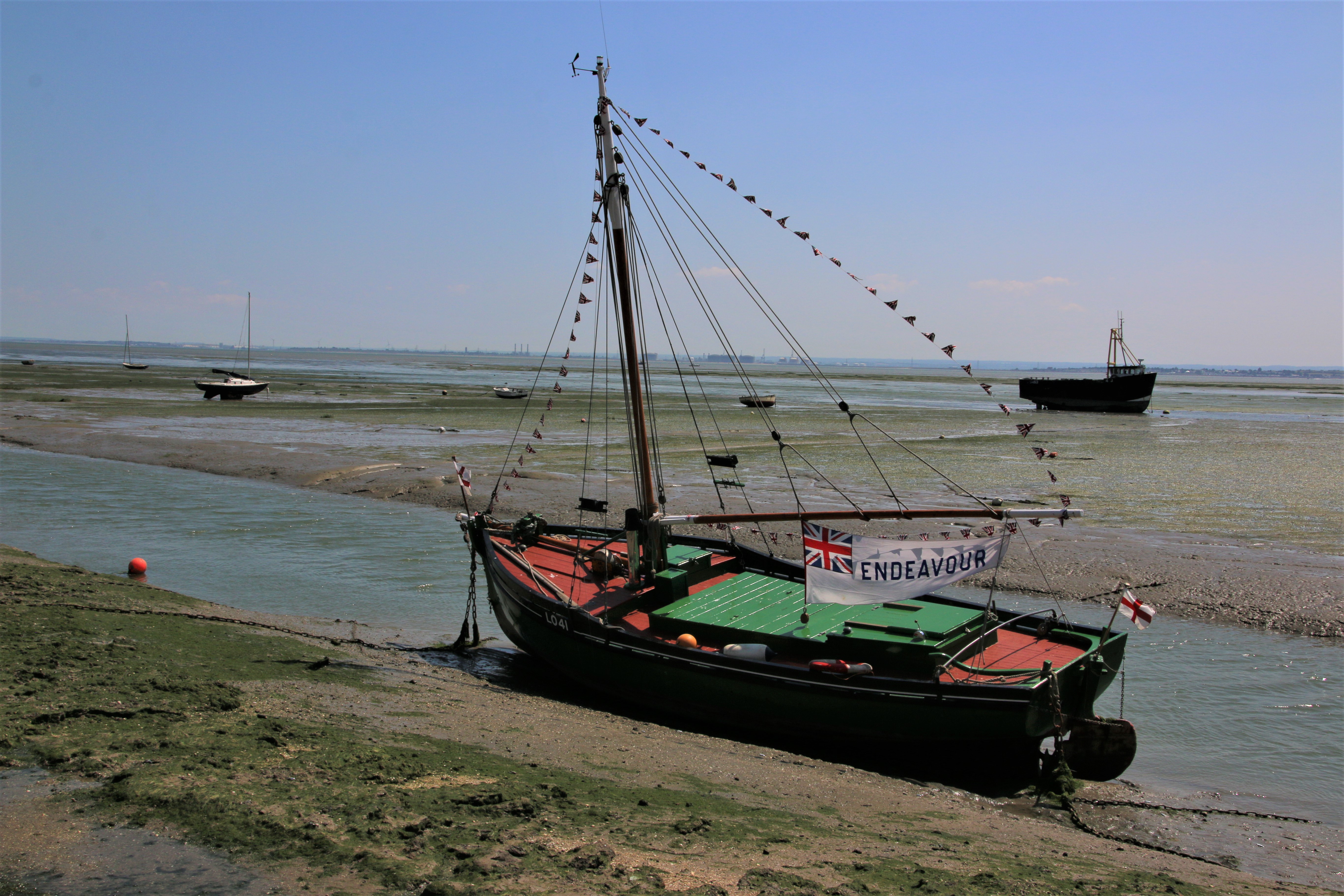
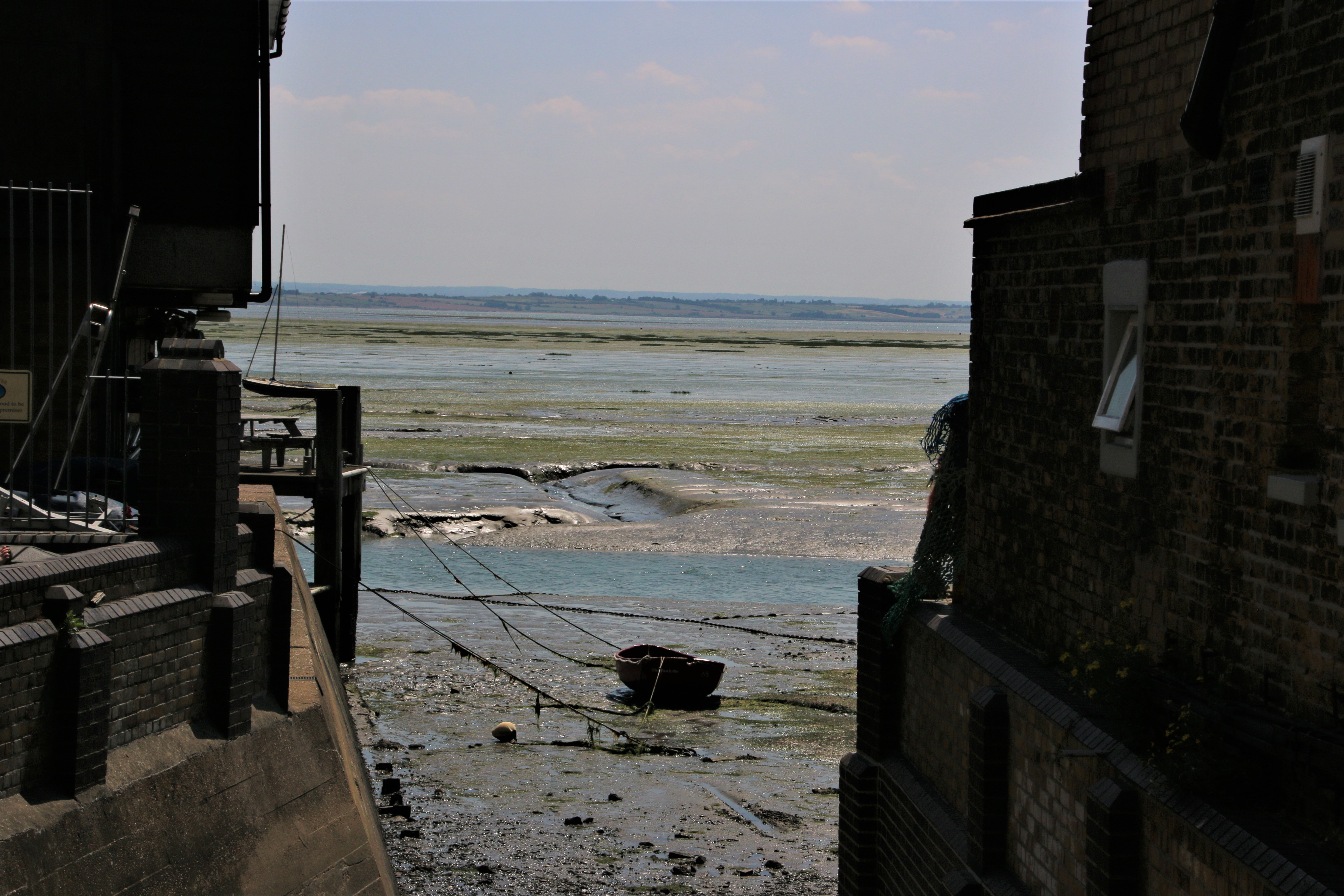
Leigh Old Town, part of Leigh-on-Sea and so included on my tour, is further up the estuary. The estuary turns sand and beach into proper mud and silt, divided up by creeks and wriggling worm lines of brown sucking squelch. Is it water or is it land? Here the cockle sheds still exist but no longer a crescent of crunchy shells over which fisherman bounce over planks, unloading their catch in buckets on yokes. When the tide is right they still use yokes but straight onto the quay. The old sheds are now more glitzy pubs and bars serving young families at a ranch of trestle tables under wide umbrellas, a range of shellfish – oysters, dressed crab, lobster, scallops. Where have the cockles and winkles and whelks gone to? Are we so superior now that these are beneath us.

Great, I have now filled the gap in my journey down the east coast. I have now travelled from Berwick-upon-Tweed down and round to Bournemouth, visiting every coastal settlement on the way. Now I have to travel around the sticky out bit and up the west coast doing the same. See you soon.

Mixed reflections on Corfu

It’s my last day. Sadly I am not going to find that romantic island, caught in the warm words of ITV’s The Durrells, better known as My Family and Other Animals, which I vaguely remember reading for O level 50 years ago. Nor will I recreate my 16 year old youth when my folks took me to on a Club Med holiday as a skinny, rib-showing teenager. I stayed in a grass hut, use beads as money, fell in love and learned how to water-ski. Yes folks, hard to imagine the hippy Mark. To get my Premier Vague badge I had to sit on a pontoon, the speed boat would swing by, a guy with a rod would grab the handle, you grab it tightly refusing to let go, take the slack and around you go in a big circuit, finally coming back in to the beach, letting go and sinking gracefully into the water while the boat goes of to collect. the next punter. Imagine my delight when the person in front of me on the pontoon is an attractive young lady who I am far to shy to even acknowledge except fleeting glances from under lowered eyebrows. Half way around, in the far distance the top of her bikini flies off. She cannot let go of the handle and so comes around back to the pontoon and sinks into the water in front of a line of eager, wide-eyed, hormonal boys.

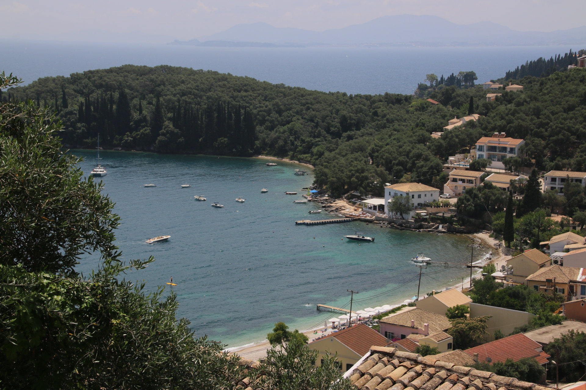
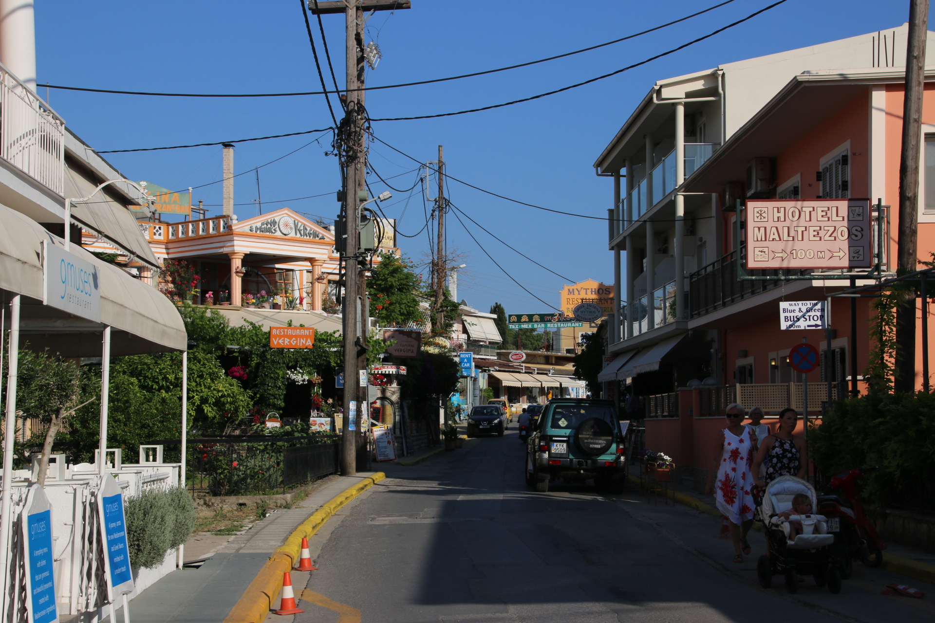
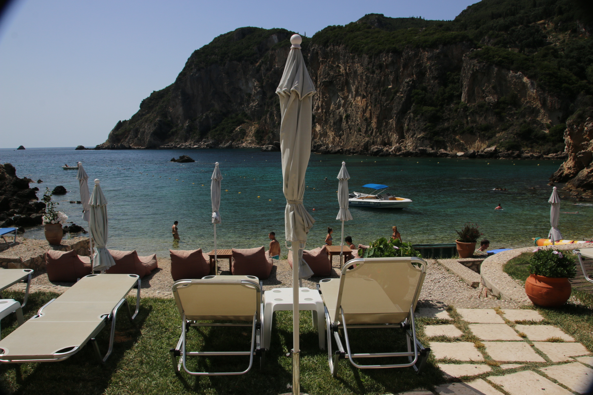
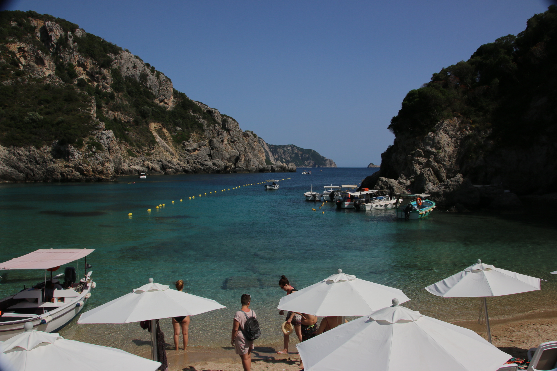
Anyway, I digress. Corfu’s wonderful coastline is best read about in guide books and viewed from a distance with turquoise waters, wooded craggy headlands, crescent shaped bays, sandy beaches and distant horizons. It is best appreciated from the high coastal roads around the mountains through gaps in the old olive trees and the mixed woodland.

By actually going down into the ‘white-washed, fishing villages’, a different picture is revealed. Each one looks very similar to all the other with a bay of sand/stones, lined by rather a lot of bars and apartment and small hotels and cheap restaurants. Nothing quaint or traditional. I am not going to say anything about the range of humanity that holidays here. Suffice to say someone needs to run workshops on sun safety and covering up. You get a lot of flesh for your money – most of it lobster red or leather brown.

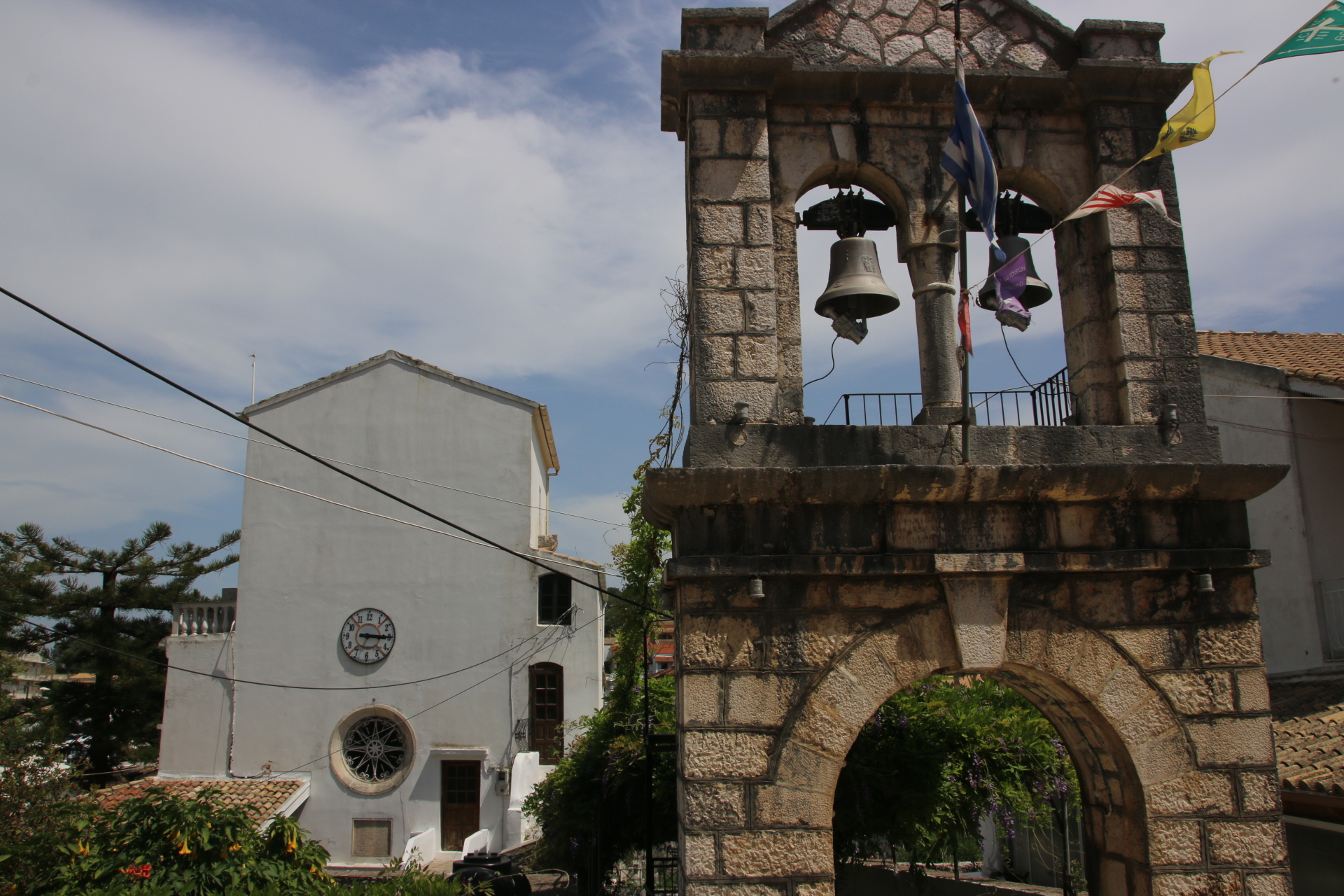
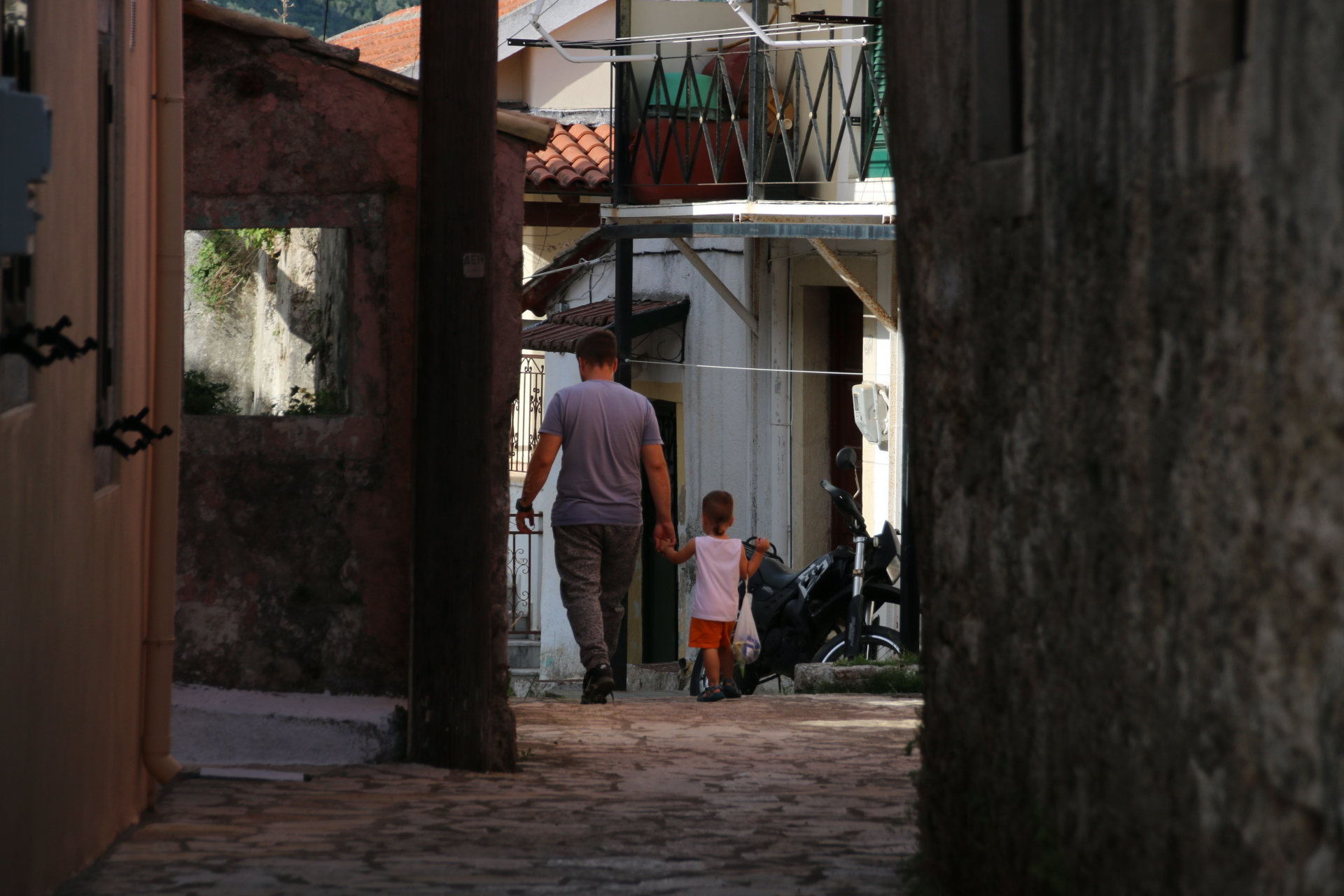
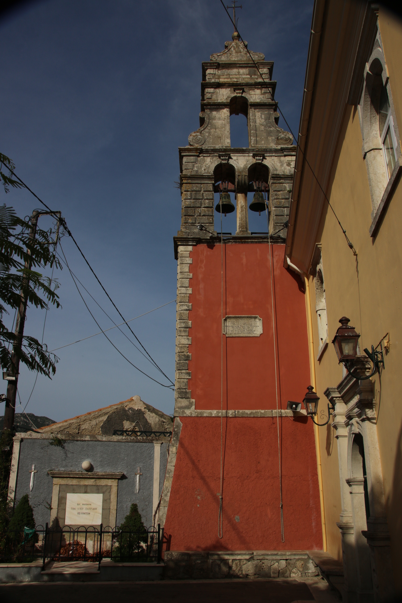
The best places to visit are by taking the car into the mountains that form the spine of the island and find the peace of the small inland villages. A small clutch of homes, 50% relatively new and 50% overgrown and dilapidated, will huddle along a contour or around a small shaded square and church which provides a centre to the community. All the churches have stand-alone bell towers alongside from the place of worship.


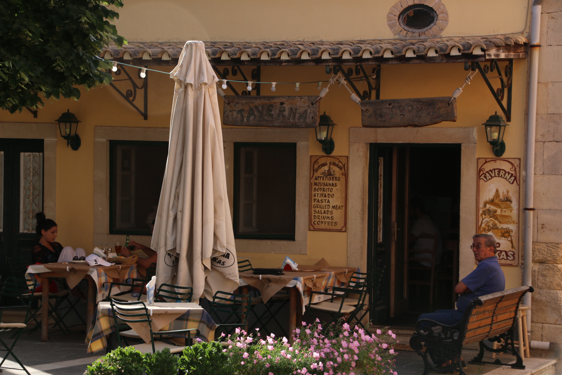
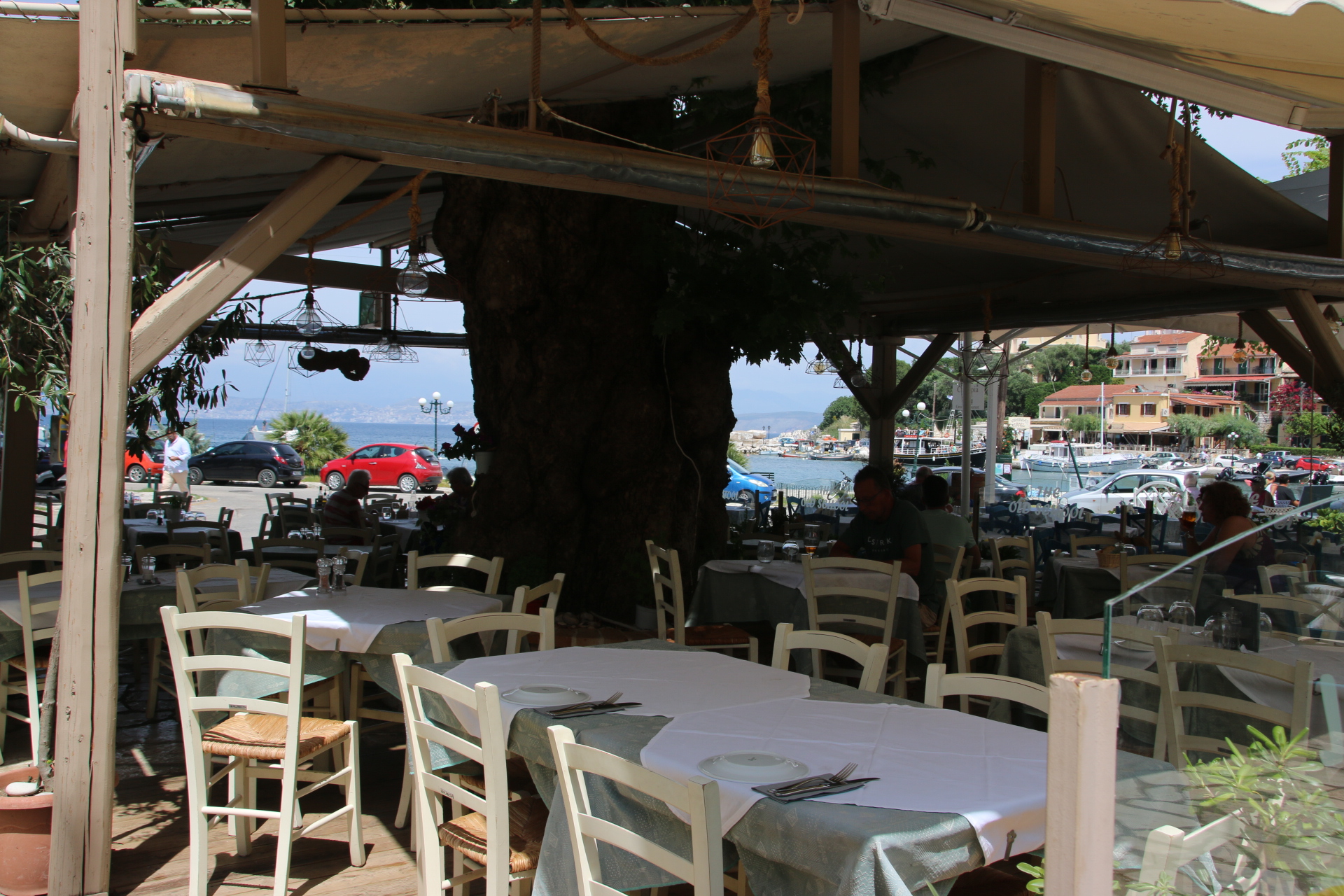
I have told you about Doukades. 350 folk live here around a small square with a shop/bar, a church and three tavernas. Spiro runs one. He used to run restaurants at the high end of Milan and Genoa. He came back to the village of his birth. When busy he does a good imitation of a steam train blowing down. Glorious, cheap, local dishes and local wine.

The locals are very friendly, quick to welcome and chat. If all the time was spent in the mountains amongst ancient olive trees, with locals, eating local food with local wine and overlooking the wonderfully picturesque coastline then Corfu would be a wonderful place to visit.

The past, and present, glories of Corfu Town

The Weather said ‘rain showers’ so what a good day to venture into Corfu Town. And what a gem it is. In fact with only one heavy shower it was ideal conditions to visit a place that oozes history. The origins of the town can be traced back to the 8th century and since them the influence of Venice is heavily felt in trade, fortification, architecture and food.
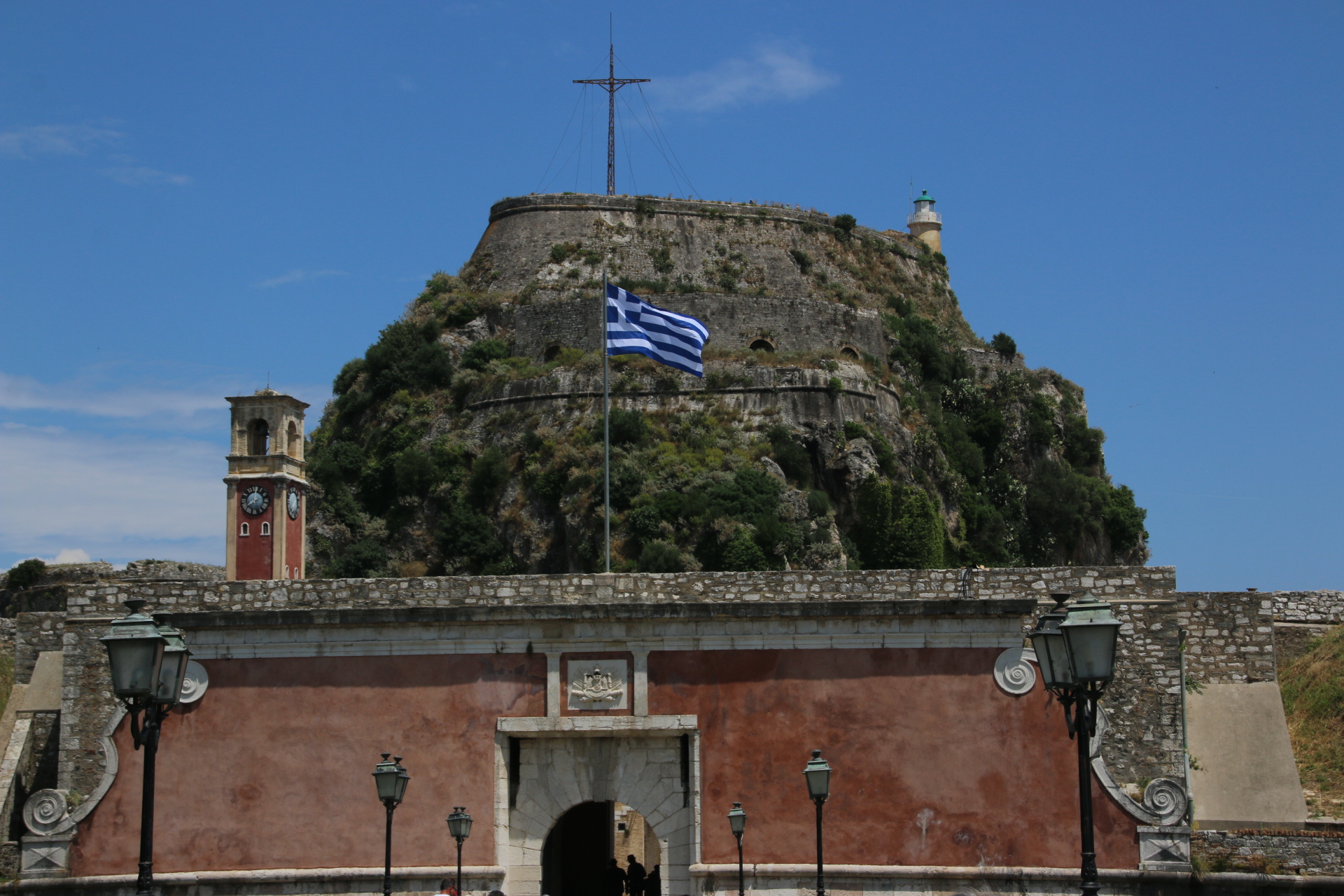
The Old Town is sandwiched between the Old Venetian Fort facing eastwards, and around the headland guarding the port where the cruise ships now dock, is the gargantuan new fortress which, despite its name, originates in 1576.

My tour of this lovely old town starts down in the old port, where, after following a line of traffic for miles with no likelihood of finding a parking space, I accidentally enter a crowded car park through the exit barrier, jump the queue of rotating drivers and squeeze into the only free space amid some very angry faces. ‘I’m British’ I mouth; a very pertinent fact as the Duke of Edinburgh was born here, and he is Our royalty). The new fortress dominates the skyline above and overpowers all that lies below it.

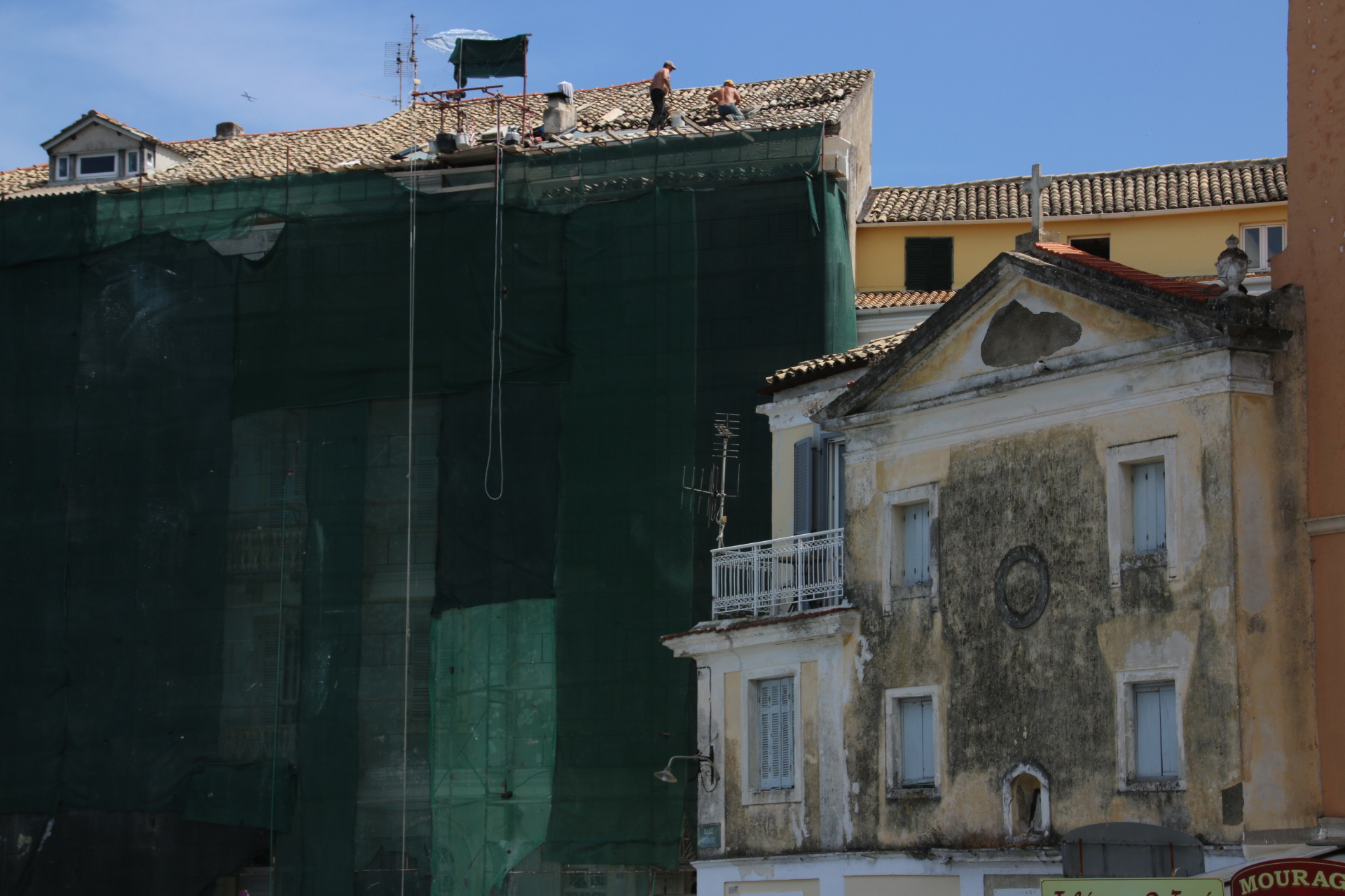
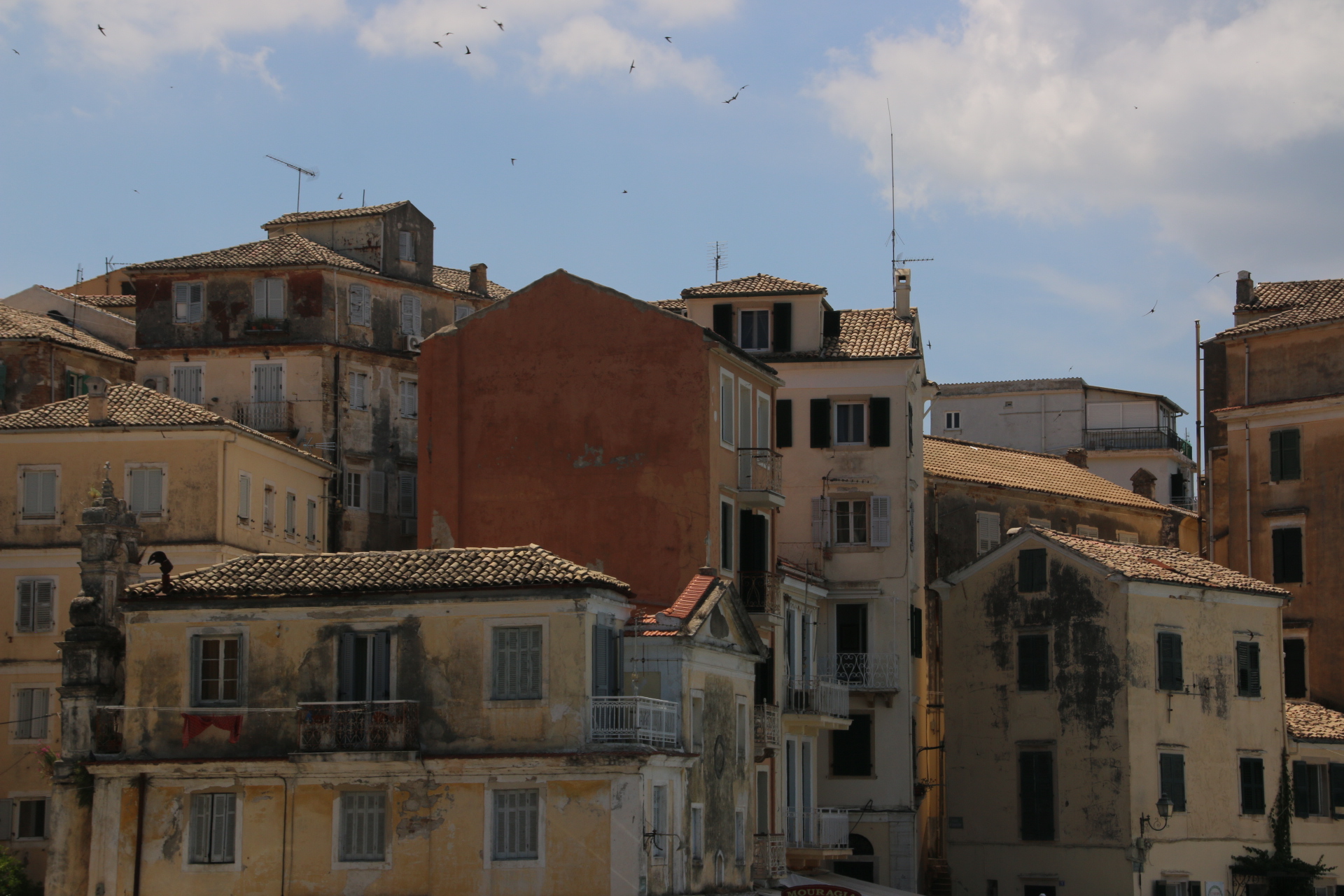
Then it is a dive into the narrow streets of the old town. Churches, domes and Venetian facades with flaking plaster and rusty balconies mingle with squares & fountains & parks & cloistered walkways. The colour washes on the buildings add an extra dimension as the sun and clouds play catch up across their surface and facades. The colours of clay cover the slopes & angles of the roofs and, along with pitted columns and faded statues, give the town a soft, familiar hue like a pair of faded slippers.

.Surprises are found around every corner. The wicket of the Corfu cricket club, who, I found out from the car park attendant, play in September. The artificial wicket requires little preparation and offers little respite for bowlers. Boy, what a glorious place to play, surrounded by such Venetian glory.


The town museum lines the cliff top promenade of the Peoples’ Garden and houses exhibitions of Asiatic art.


The tourist buses unload their cargoes outside the old fortress. This is a hugely impressive structure, protecting the town from land and sea alike and separated from the main island by Lover’s Canal. Why it is called that I have no idea.


Corfu Town has a charm and a warmth and a buzz about it that can be enjoyed, even on a short visit. I wish more of the island retained as much character and atmosphere as is captured here amongst the muted colours of the old town.

The ruins of Perithia

Well, I think I’m getting the hang of this place. Firstly head out to the glorious coastline of craggy headlands, wooded oaks and olive groves, splashed with the colours of bougainvillaea, smart, cliffside villas overlooking sandy/pebbly bays and coves and turquoise waters and try to find in coastal villages any remaining evidence of the romantic Corfu of yester year. Then, rather than staying in the oven of apartment blocks, tourist shops, eateries and bars, cluttered with a scattering, at least until high season, of lizard skinned, loud & inappropriately clad Germans & Brits, moving up into the mountains for the real island.

The first trip is up the slithering, sharp meanders of the coastal road up the east coast to Kassiopi, which still has an element of charm for the visitor.

A perfect crescent of bars & restaurants line the harbour, overlooked by the omnipresent apartment blocks and guarded by the ruins of the medieval castle.

The intriguing image, through the breakwater and over the narrow straight, is that of the mainland, which at this point has given way to Albania.

It is so different to the white-washed buildings and assorted shapes and sizes of any Greek landscape. Through the haze, in the distance, block upon block of dull, grey blocks of functionality are indiscriminately arranged in layers along the even duller rocky coastline. There is no real colour, no soft shapes, no variation – just a drab presentation to the modern world.

Leaving the tourist fleshpots, it is a drive through the wonderful landscape of Corfu’s mountainous centre. Here are the crags and rocks, the ancient, wizened olive trees with giant, gnarled girths, the mixed oaks and Cypress trees, all smothered in the herby smells of yellow gorse and white and pink flowered shrubs, up to Old Perithia. Following a single track above the tree line the air cools and for the first time it feels fresh and one can breathe deep again.


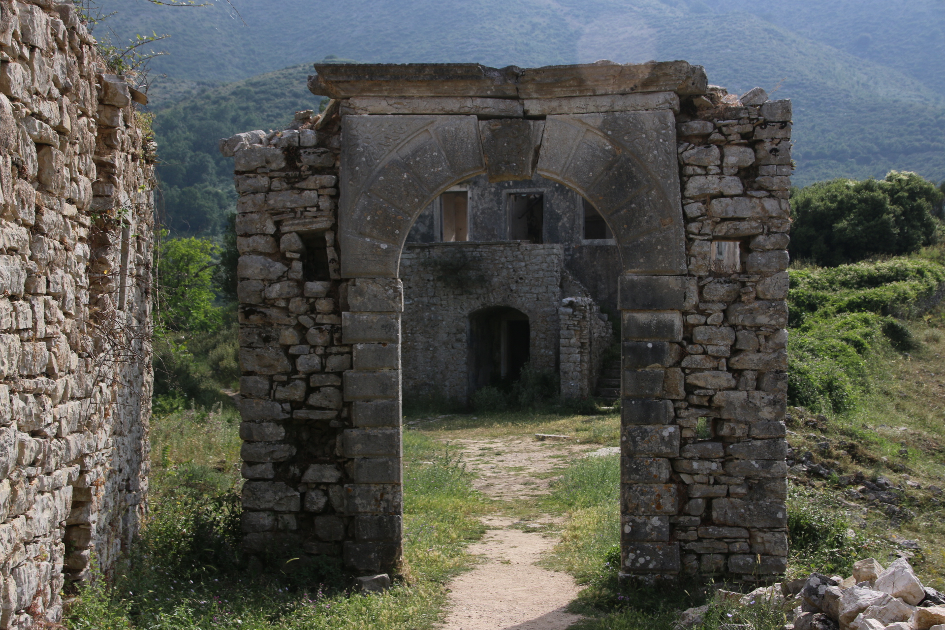
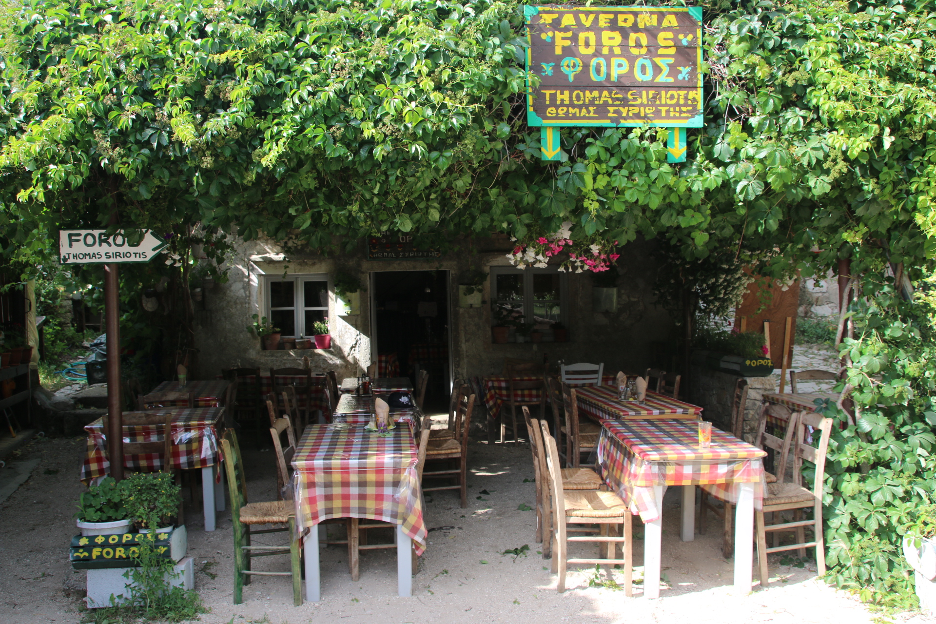
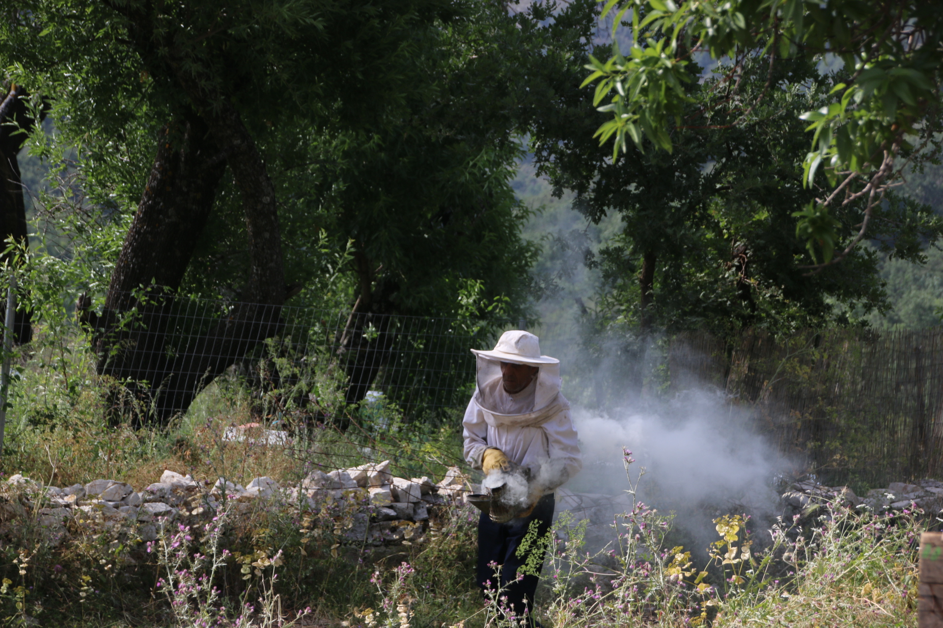
Perithia is a ruined village, dating from the 14th century in the middle of the mountains. Despite the fact that 95% of its 130 dwellings are in ruins there are two ruins for sale and 5 tavernas that are open for business and staffed by the last inhabitants of this rubbled ghost of a village. Quite why there are 5 tavernas operating, I don’t know. Maybe tourist coaches battle up here through the potholes and dust in the high season. The village is famous for producing honey and ….ginger beer!

After a wander in the peace and emptiness, a drink of some pretty average ginger beer (we make it better in the UK) it is back down to dinner on the bay.

Baking in Corfu

This trip to the island of Corfu has taken a while to take off. One reason is that it is so frigging hot. What is wrong with our planet? It is early June and the thermometer gets as high 34° after about 1 o’clock so there is no incentive to get out of the shade and into the sauna of the car to start exploring the island. The first few sorties out have been around Gouvia, where we are staying in a little oasis of green and pool.


Another reason for the slow start is that this is the party area, with lines of bars, eateries passing themselves off as traditional tavernas, minimarkets, apartment blocks. Thank goodness its not high season. It would be rocking with karaoke and pumping happy hours. So I’ve not really had the urge to take any photos as this could be anywhere.


Sadly the whole island is blighted with huge areas of rotting bags of waste along the roads. The islands only landfill site had been closed by the EU as being illegal and there is nowhere to dump the trash so it simple lies there in growing piles of black bags which also reduces the incentive to wander around snapping picturesque images, even if I could find them around here.

So, eventually, braving these elements, we venture further afield to try a beach on the west coast, supposed to be really nice. Paleokastrista consists of a public stoney/sandy beach around a crescent bay lined by low apartment blocks and hotels and high craggy rocks up to low mountain ridges. A couple of smaller bays lie around the corner. Exciting holiday activities are on offer – you can pay for a pair of sunbeds + an umbrella + Wi-Fi, you can hire a speed boat for the day, you can chug with the local fishermen (now no longer netting fish but netting tourists) along the coast for a bit to visit 4 caves in 40 minutes (hmmm), the banana boat is a must, sit in a bar and watch the international tourist enjoy themselves, all under the pong of the huge pile of rubbish in the carpark.


Oh, two images of contradiction – the sign up the hill to the monastery and the hoard of goats that clip down the narrow road, bells ringing and scrotums, or is the plural of scrotum-scroti, swinging, chased by a red faced goat-herder. I think he is in control.

We decide to spend a few hours on the beach and swim in the sea – looks good but freezing. I can’t remember when I last did a beach. Probably when my two girls were of an age. Is it really fun? Find a space on the clinker between the couples and families. Lay out towels which absorb the sand, sit down and lie out (boy, is it a long way down there….and even further to get up again, grunting and swiveling and pushing, trying to avoid pulling something), sand covers every patch of oiled, sweaty body wether it comes from leaning outside the towel, the shaken towel from neighbours or the bathers as they pass. Fun? Na. Backache, sore elbows, sand in every crack, fold, orifice. You can’t read without breaking your back or cracking your neck,  every time you want to drink you have to sit up, gulp, flop down. It is just so much hard work. So you simply watch the beach and think how daft all this is.

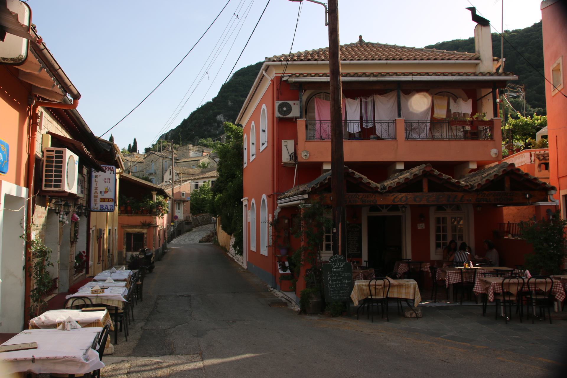
The saving grace comes on the way home with an instinctive diversion into the mountains to find the traditional village of Doukas and the amazing Taverna Dukas with papa serving and mama cooking. Lamb casserole to die for, beef stefano to fall for, a cheap half litre of red and homemade yogurt with strawberry sauce on the house. My faith has been restored.

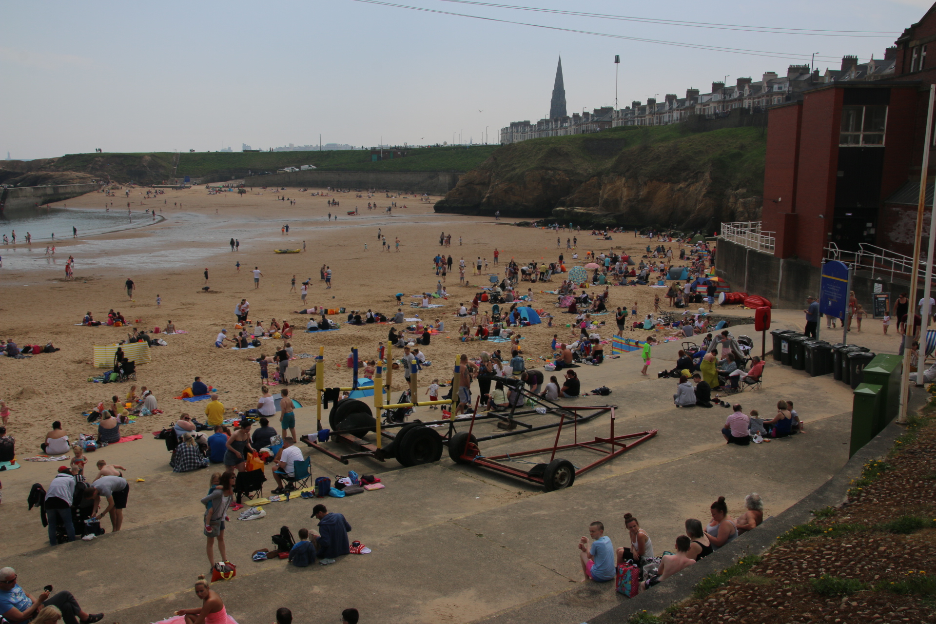
A couple of extra places at the mouth of the Tyne; Tynemouth!!

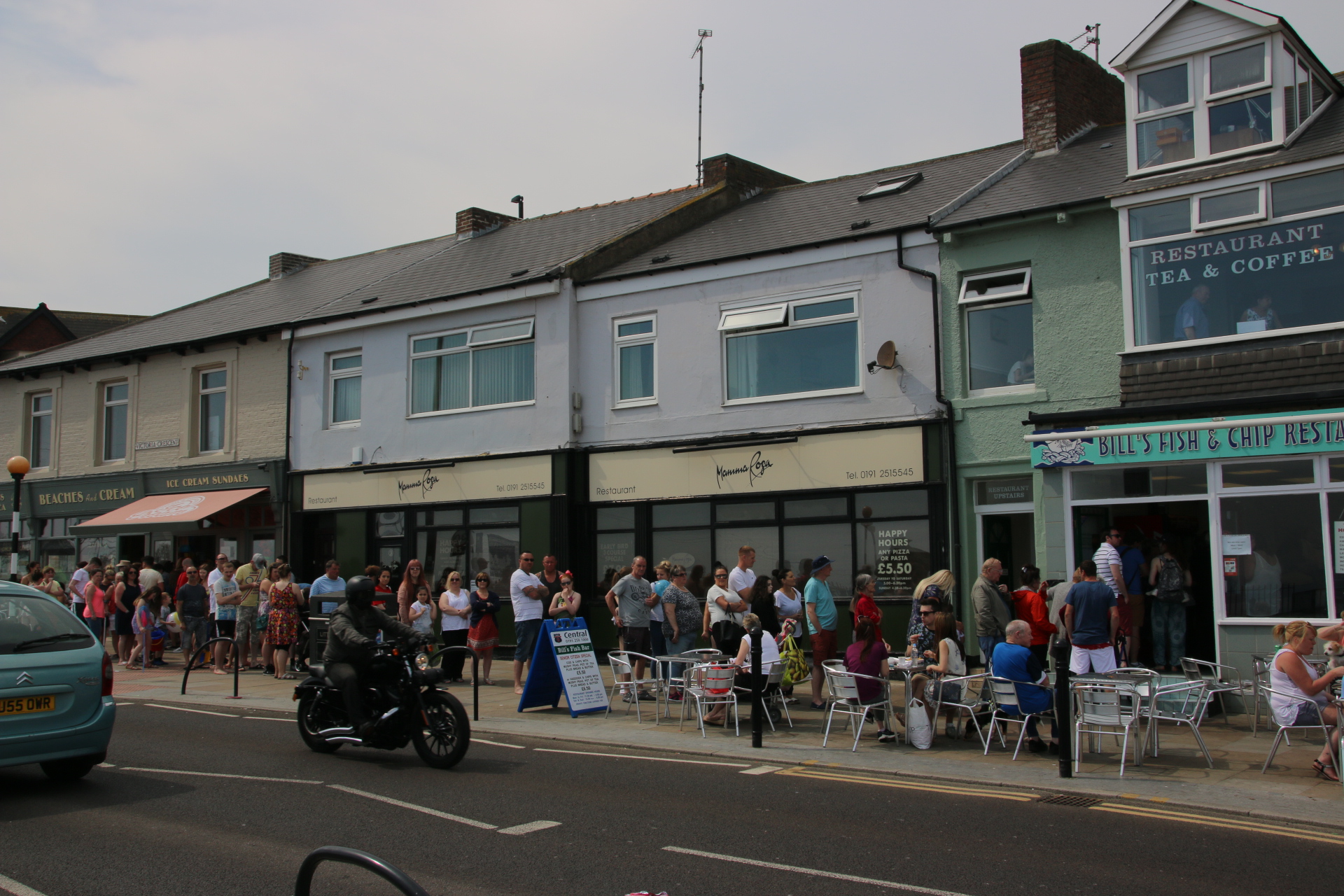
I had to just include these places as I have heard about each of them but I have never visited them. Cullercoats is definitely on the coast and during any hot period is a convoy of cars in each direction along the coast road. Cute, scruffy dogs are the necessary accompanment to very tattooed guys and gals promanarding their way to the beach. I think the queue to the fish and chip was the most impressive sight of the morning. This one is no exception. Every one has a queue like this or longer and its only 1130.

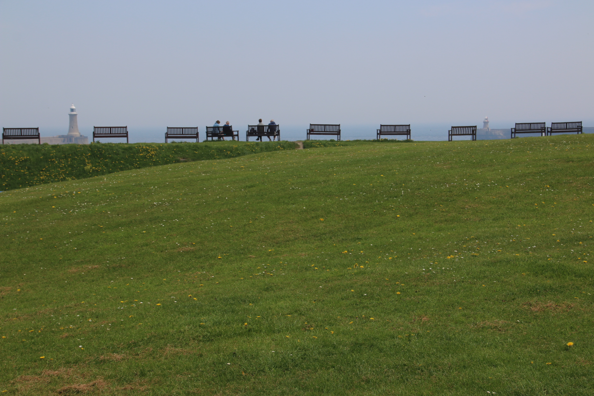
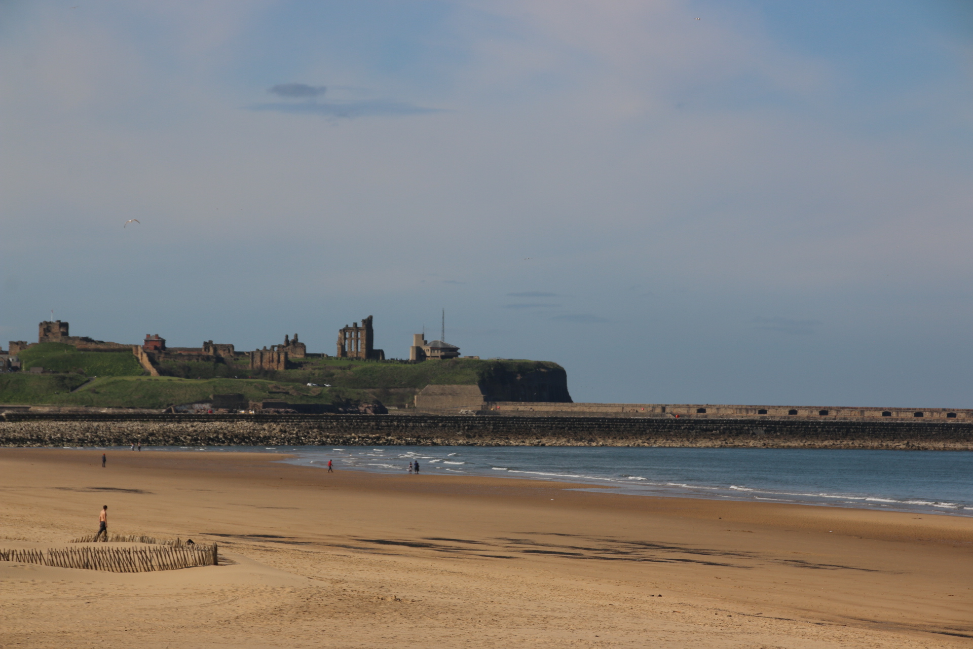
Next is Tynemouth with the ruins of another priory high on the cliffs between its two beaches.

Then a walk around the headland leads to North Shields which looks across the Tyne to South Shields.

I like this architect’s house and office with windows designed for a Ford Transit.

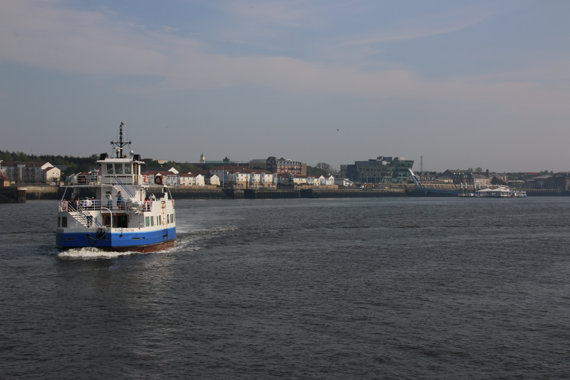
Now the ferry to South Shields and images of Newcastle, only cause I never been there. Am impressed.

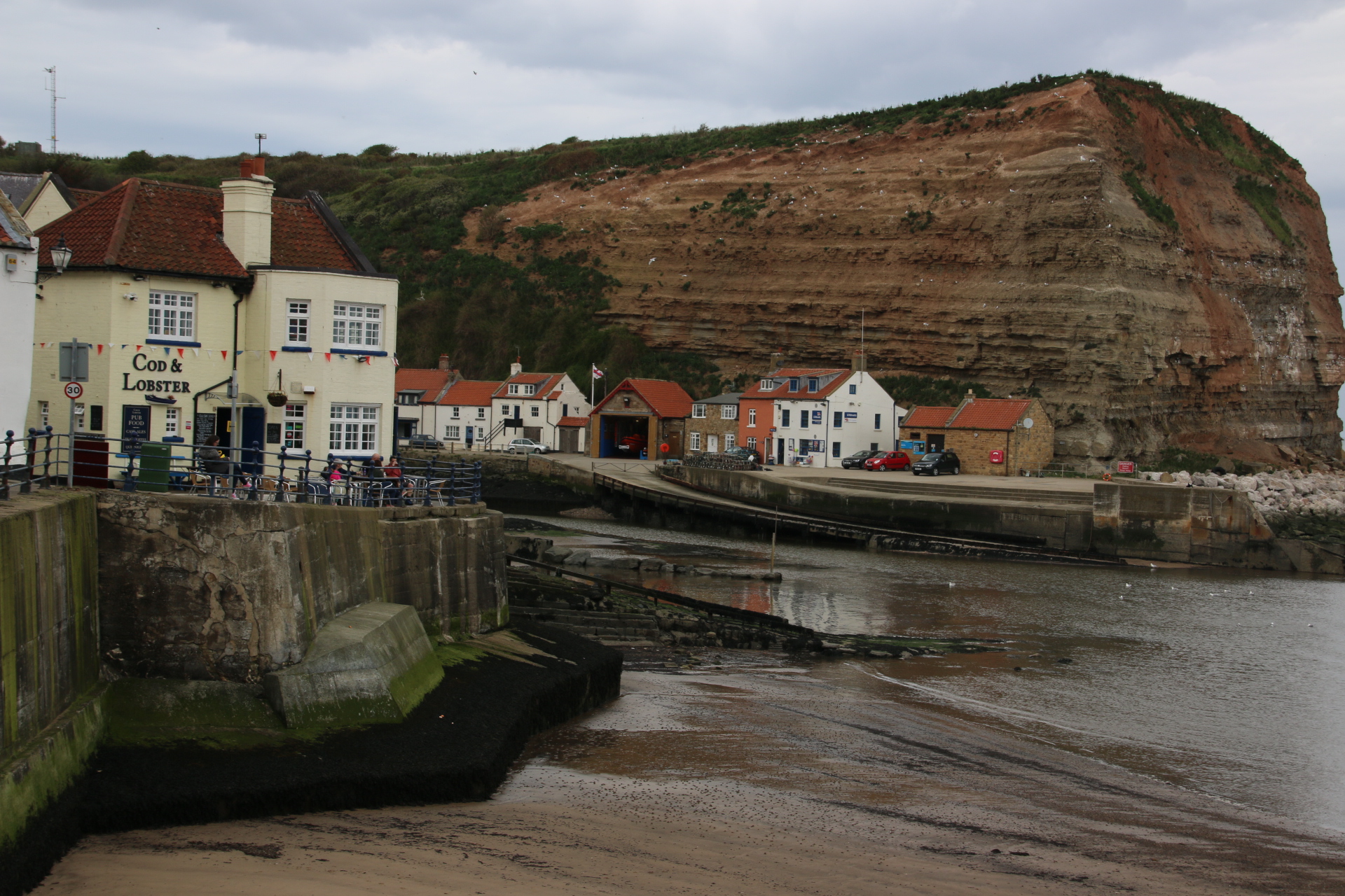
So, home tomorrow via the Yorkshire National Park. Should be good.

The last leg of the east coast up to Berwick-upon-Tweed

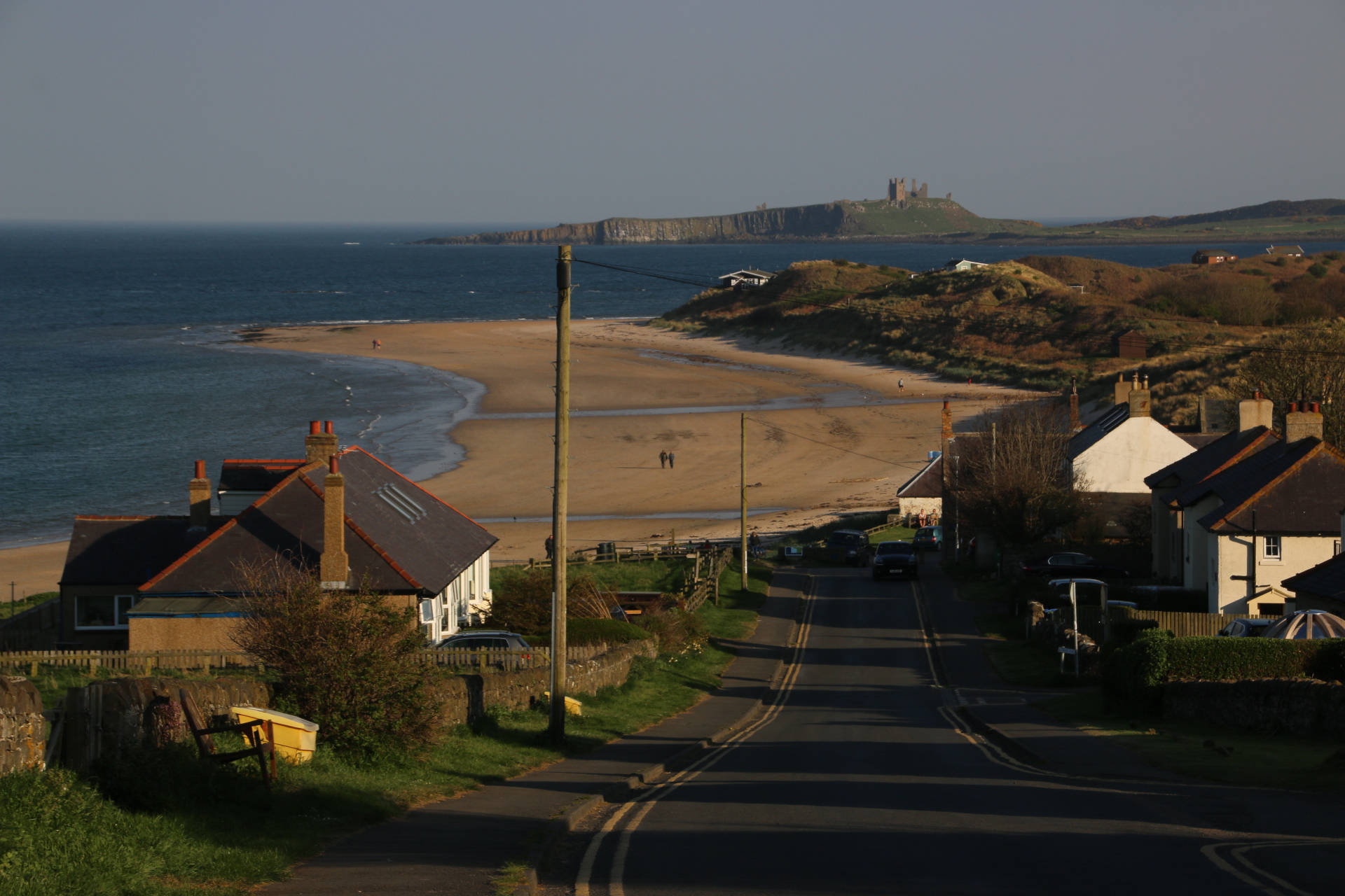
Oh boy, the last leg of this wonderous east coast is not to be missed. 3 screaming nugggets never to be missed. I’ll start you’ll off gently. Firstly we’ll look back to yesterday’s castle ruins across the bay from Low Newton-by-the-Sea. There is a High one too but the view is not so good.

Along coast is the glamorous, or not so glamorous, depending on your point of view, town and working harbour of Seahouses, overlooked by a layered ring of grey terraces and two pubs on the hill, with little heads poking over the top of WWI trenches, appearing from their trestled tables with pints in hand, ready to go over the top.

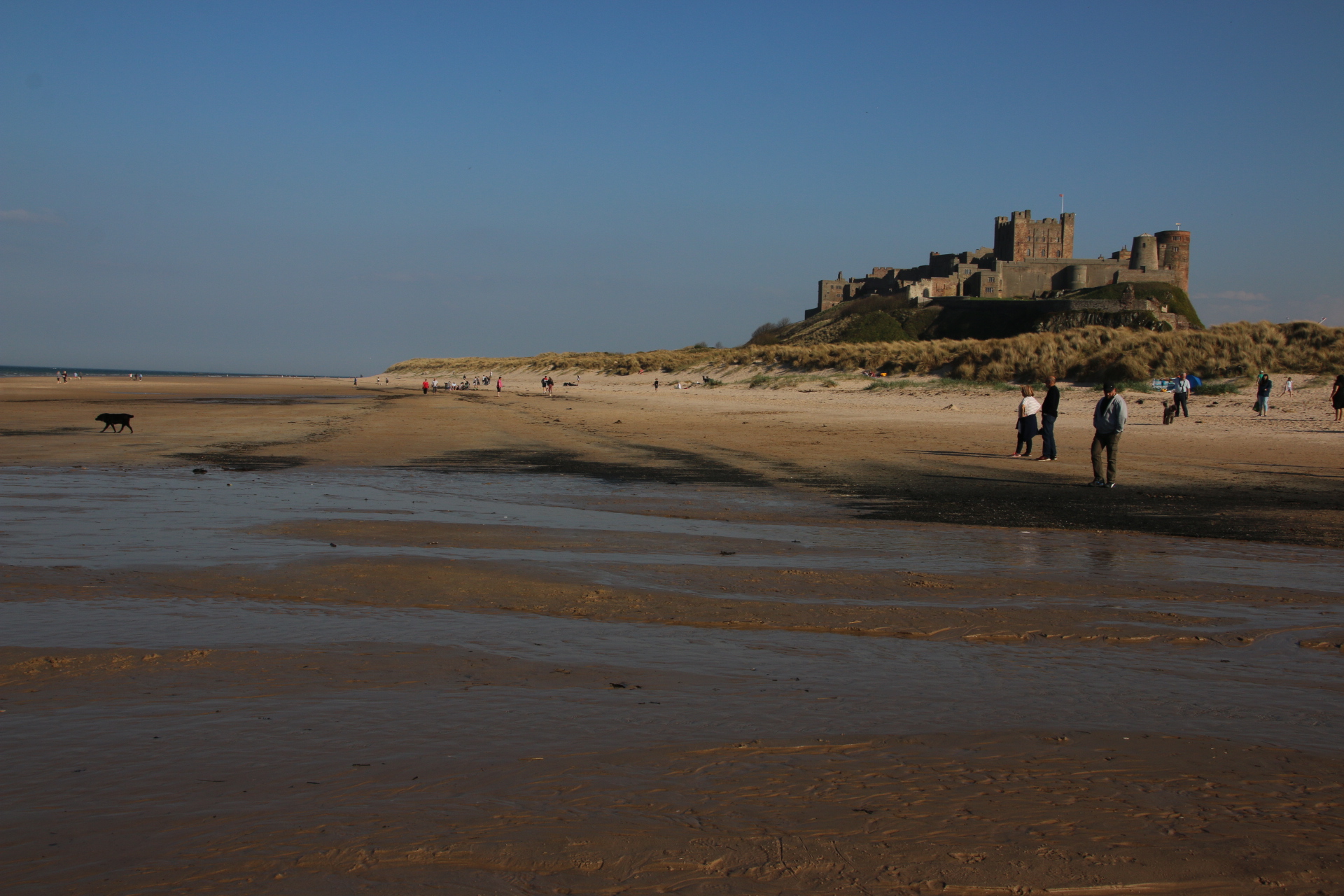
The first gem is Bamburgh Castle. This is not a ruin but a well maintained, and very expensive, Victorian tribute to past glories – to Saxon defences against the Vikings, although it can’t have been that effective as it was destroyed by the horned invader in 993, to Norman invasion, they built a new castle here and to big families and governors of Northumberland who live there to this day.

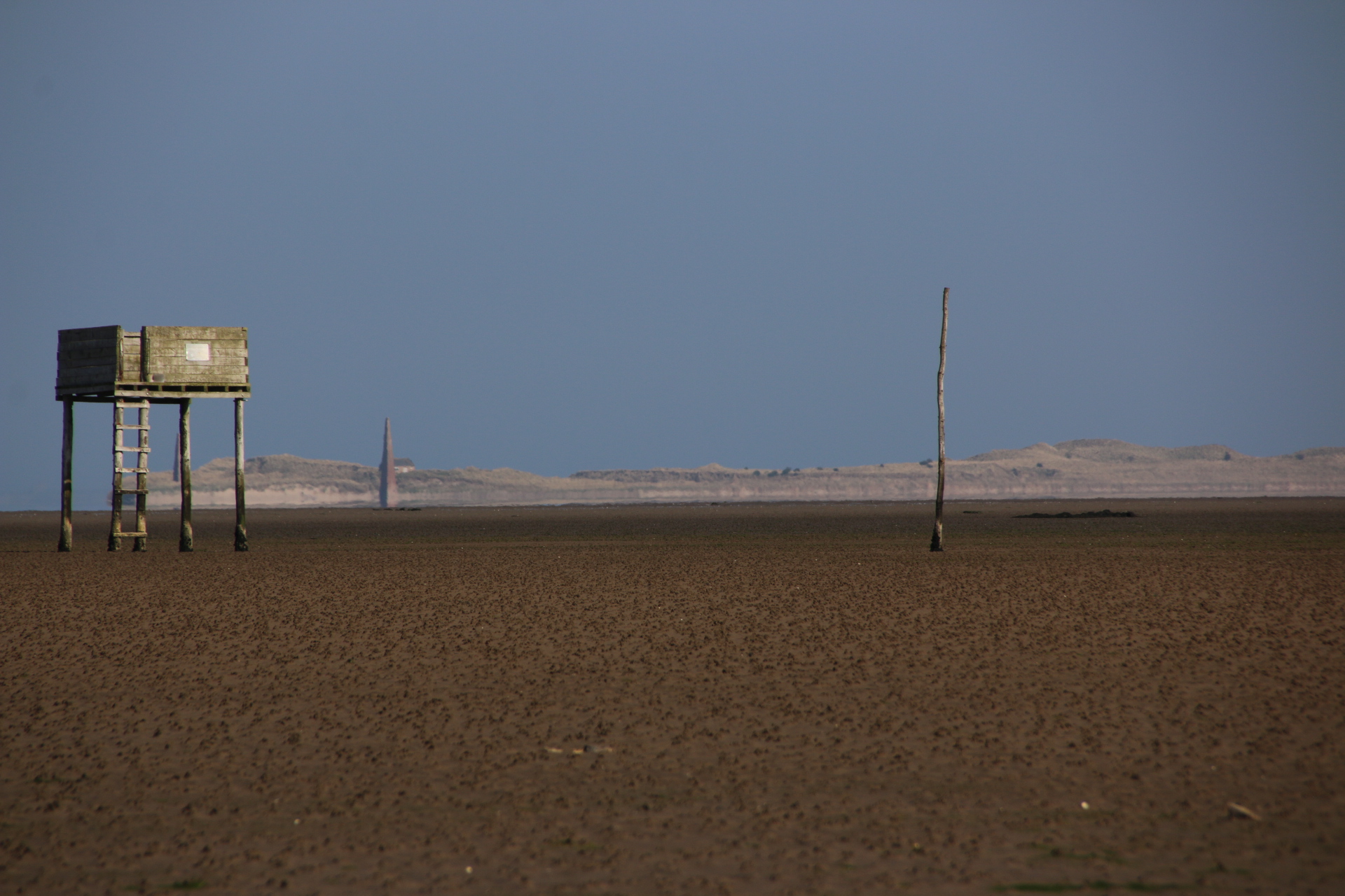
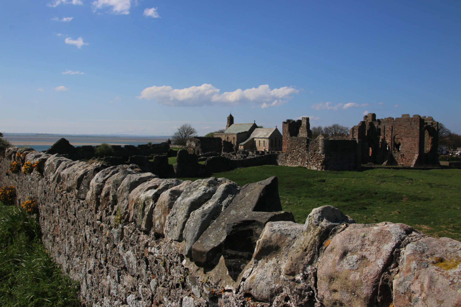
The Holy island of Lindisfarne is best appreciated from a distance. Getting too close means that you have to rub shoulders with thousands of the hoy poloy who trog around its lanes and paths disrupting any spiritual essence that might have remained from the ruins of the priory and the newer church. A word of warning – always check the tide tables before setting out over the causeway, The setting is completely surreal. The vehicles form a caravan through the boggy sands of the Lindisfarne desert to reach the oasis of land in the turmoil of the surrounding waters.

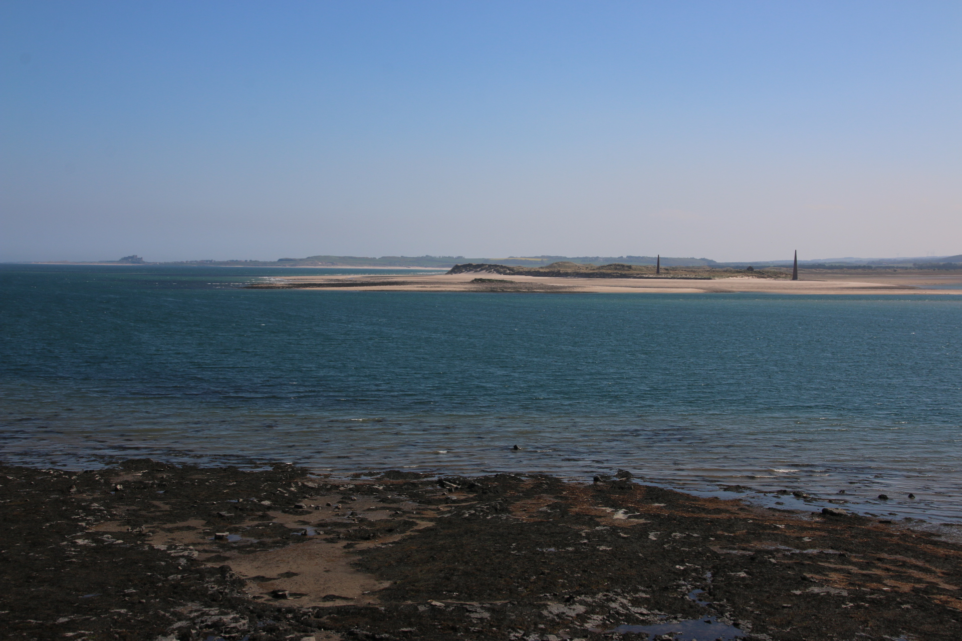
Looking back across the sands is just as impressive.

The castle stands secure in its security blankets of scaffolding and plastic.

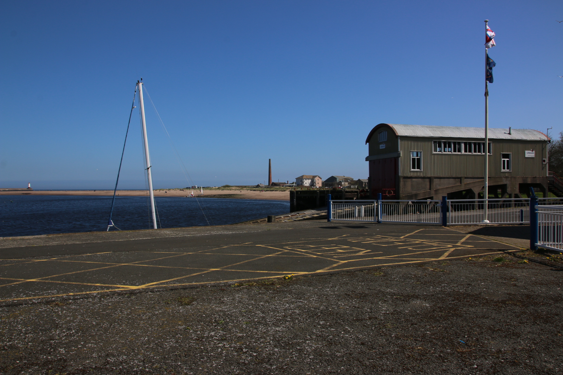
Spittal, on the south bank of the Tweed, is a marker for Berwick on the south.

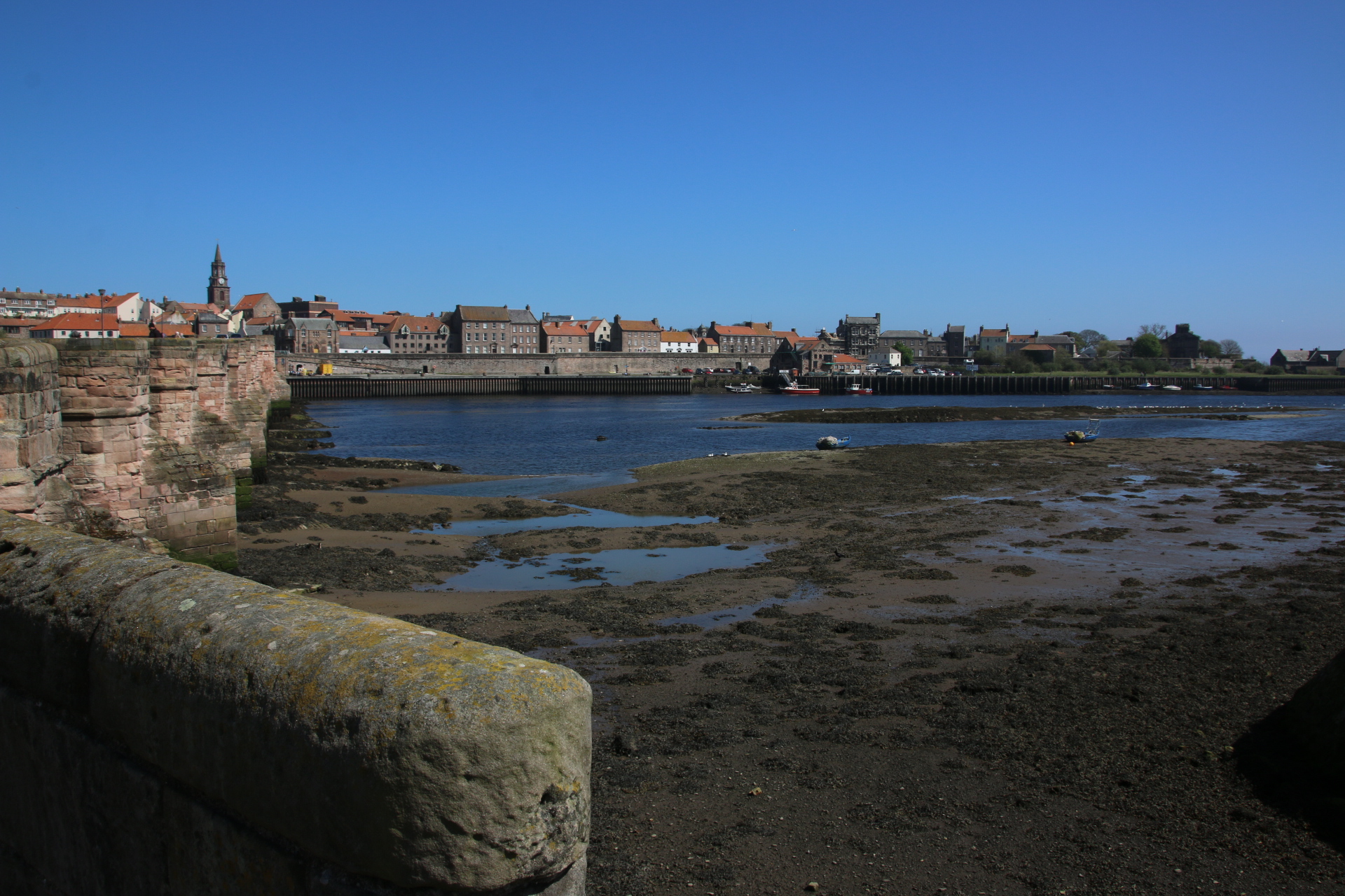
Finally, I reach Berwick-upon-Tweed, occupied by the English & the Scotts equally and full of history and intrigue. The final settlement of any size before the border and surrounded by holiday caravans, it oozes granite history and industry. A town worthy of accolades from both countries.

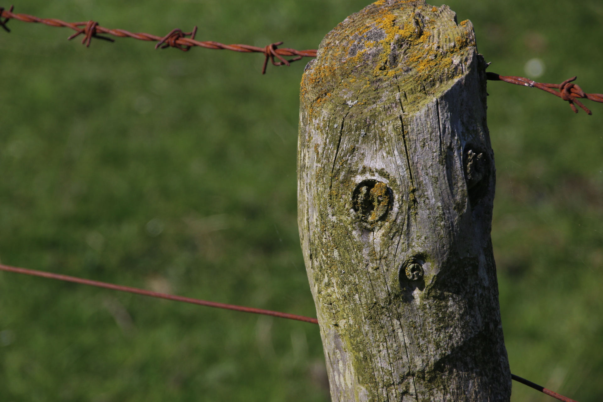
Finally, I leave you with this little fella that I met on a barbed wire fence at Goswick.

See you all again soon.


Two ruined castles, some working villages and a magnificent coastline

Boy, is this coastline something or what? I can’t get over it. Miles and miles and miles of glorious, soft sandy beaches that bask under a blue, blue sky, interrupted only by the occasional promontory of tougher rocks that have managed to hold out against the sea’s grinding and relentless erosive powers.

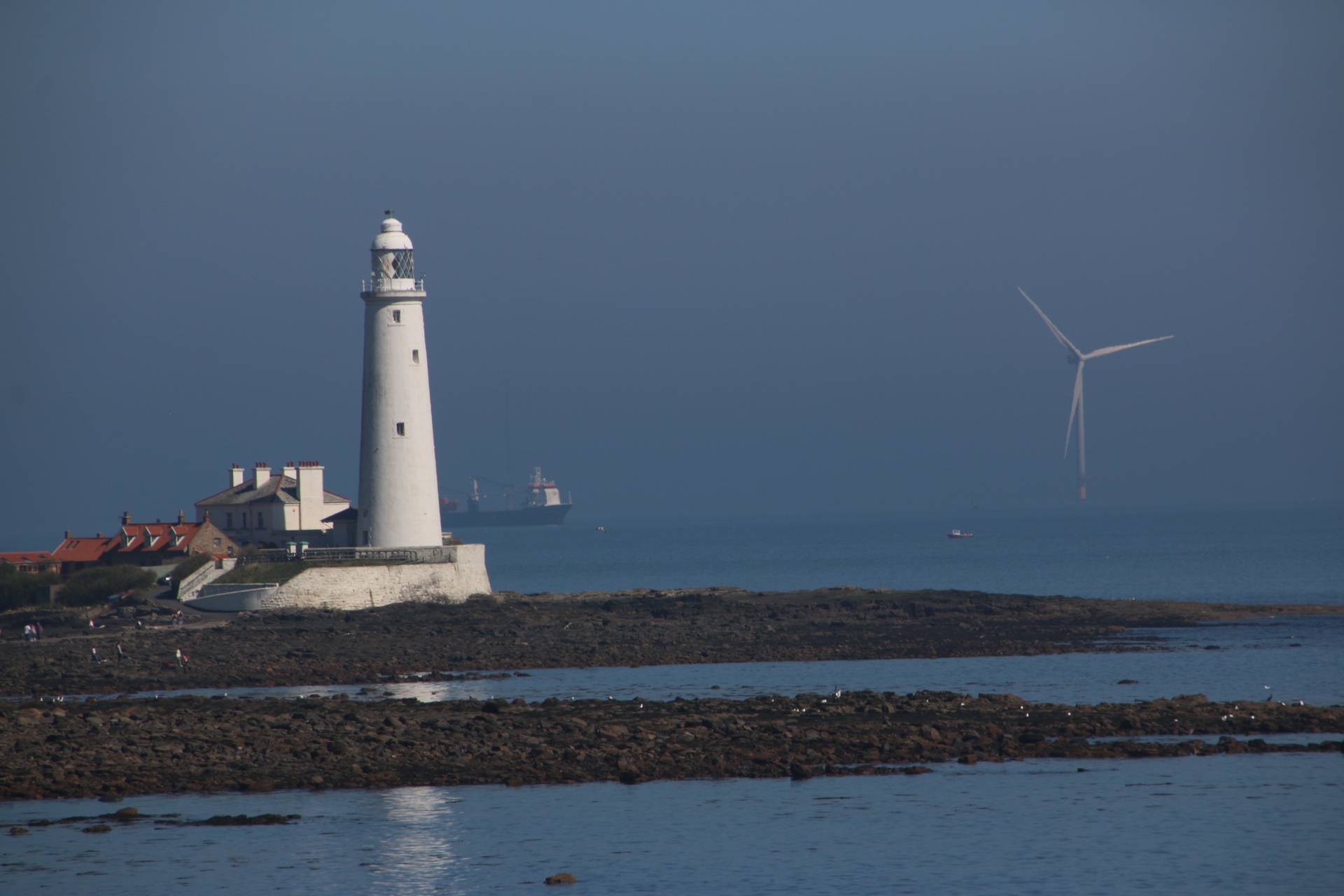
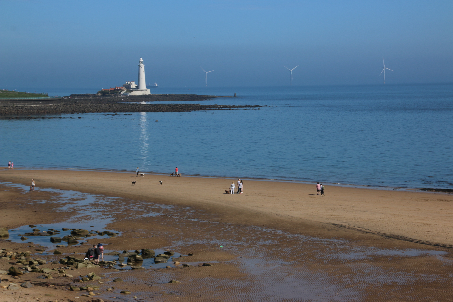
I start off at the top end of Whitley Bay looking across at St Mary’s Lighthouse emerging from the fresh morning haze. The gods have breathed onto a cold pane of glass and as the air warms it breathes away into the ether leaving the white silhouette standing clear and precise.

Blyth is a working port. Huge coils of subterranean wiring are stored on quaysides, ready to be laid under vast oceans to link continents with modern technology. By huge, I mean huge. The coils are 10 metres in diameter and require colossal spindles to slowly unravel them.

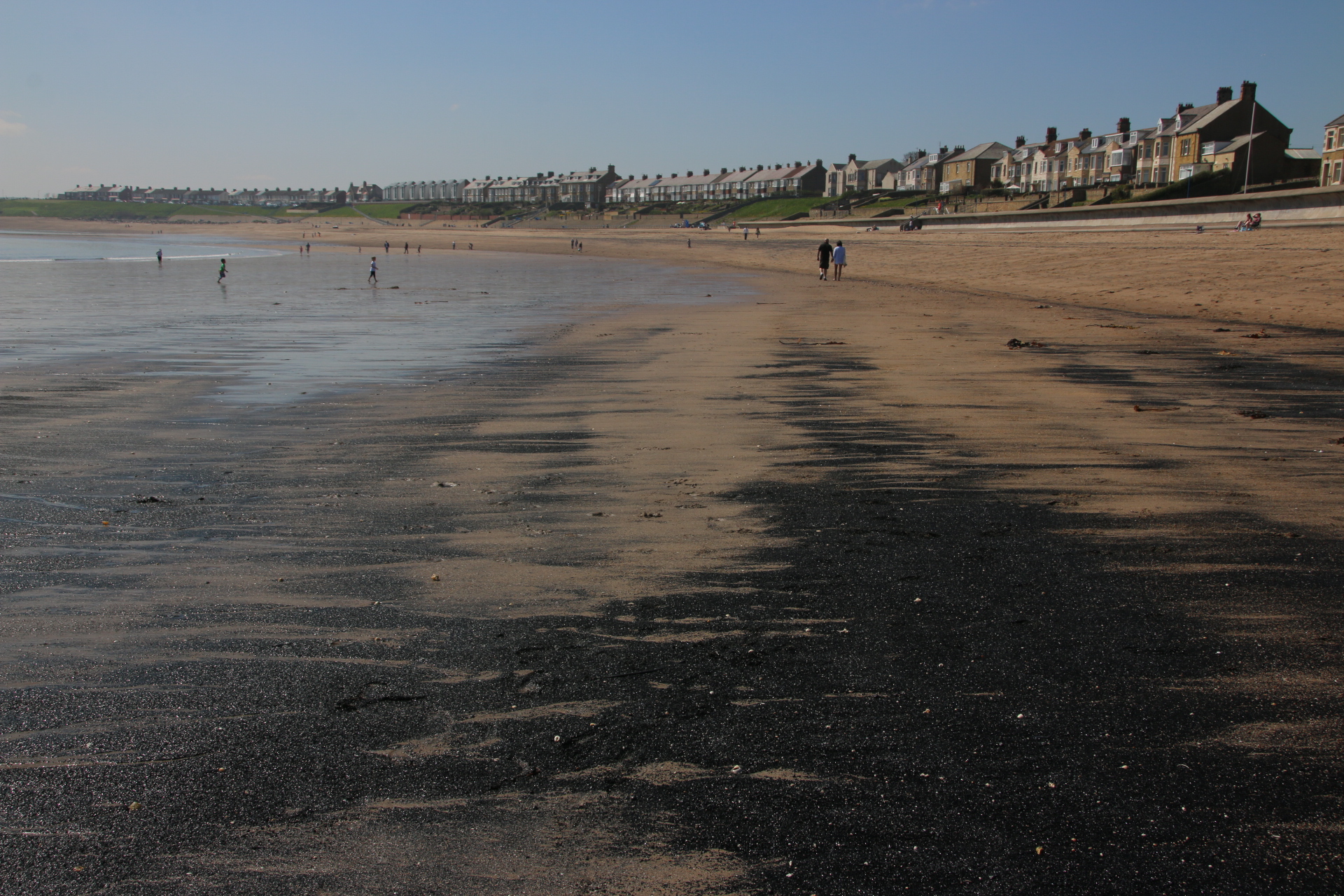
Newbiggin-by-the-Sea has a lovely natural curve of high sea defences which overlook an installation, the Couple Sculpture, a guy and a girl standing high on a scaffold looking out to sea. Arcs of coal on the beach are clues to the area’s geology and history.

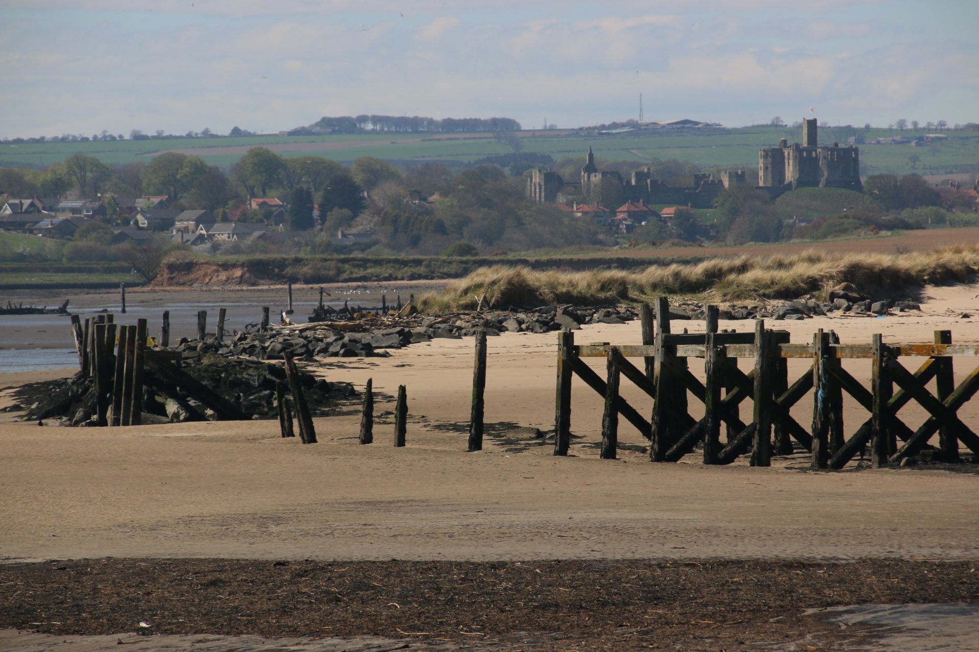
Ambling around Amble is a delight. This is an old working port with ancient timbers marking the skeleton of old wharves and medieval docks and quays. Around the tributary of the river the ruins of Warkworth Castle still stand guard over access inland.

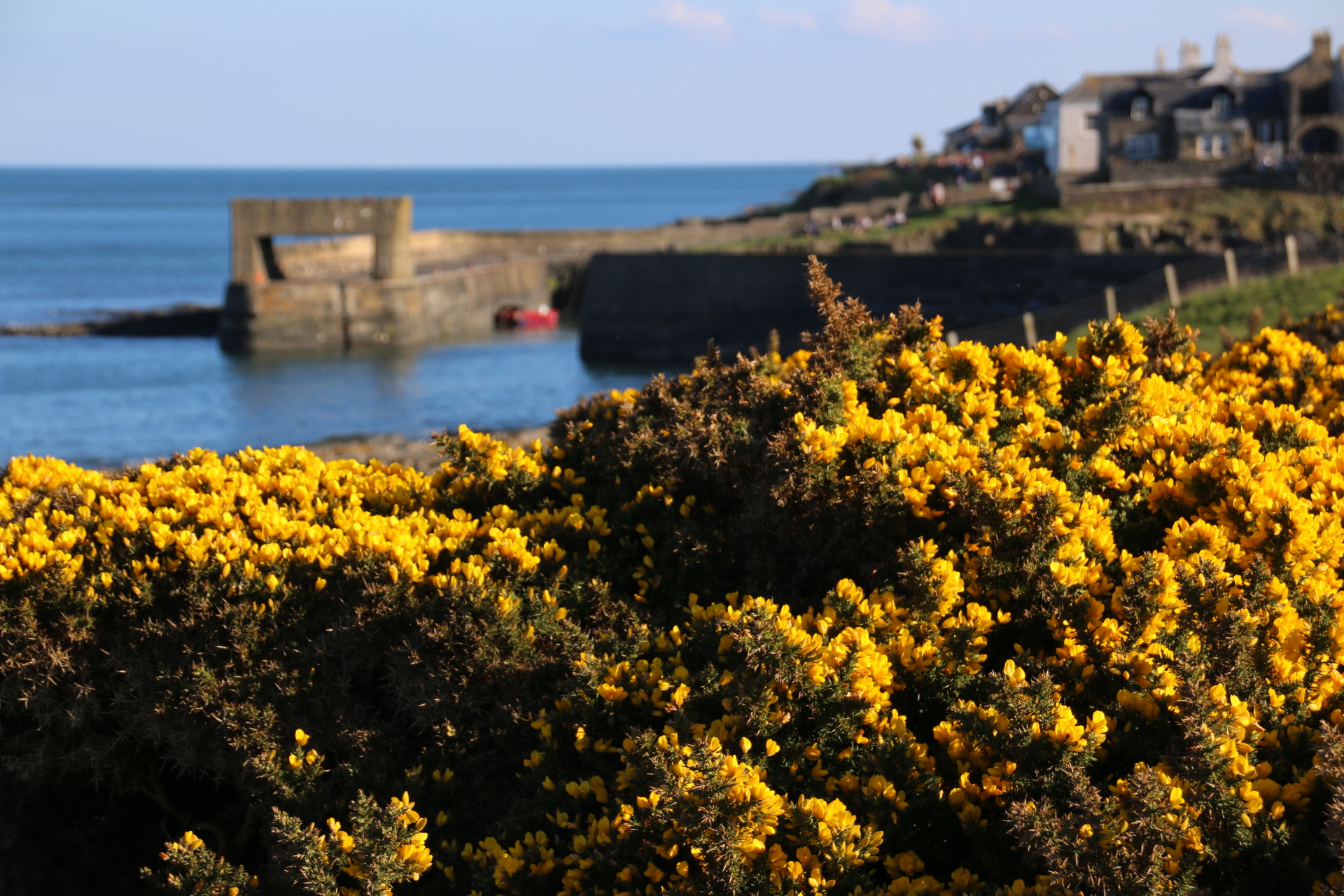
The day ends with two working villages that I love. Both are scruffy, tatty and honest in the paraphernalia that lies about the place. First is Boulter.

Casper’s harbour lies almost empty, waiting for vessels to give it a purpose.

Oh, yes. Across, through the islands of yellow gorse, the ruins of 14th century Dunstanburgh Castle spread out across the sheep grazed grass top of the headland.


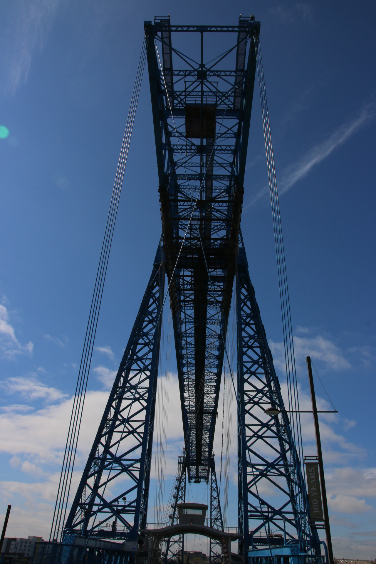
The amazing crossing that is the Tees Transporter Bridge at Middlesbrough

This is the most amazing feat of engineering built in 1911 as a crazy gantry to replace the crowded ferries that transported workers across the river to work in the factories and steel works across on the other side. Now vehicles and pedestrians are swung across the waters, suspended underneath the rolling gantry by 30 wires. Absolutely amazing.

Most of the coast north of the Tees is flat scruffy marshland with barriered roads leading to industrial plants, power stations, chemical works and this wreckers yard.

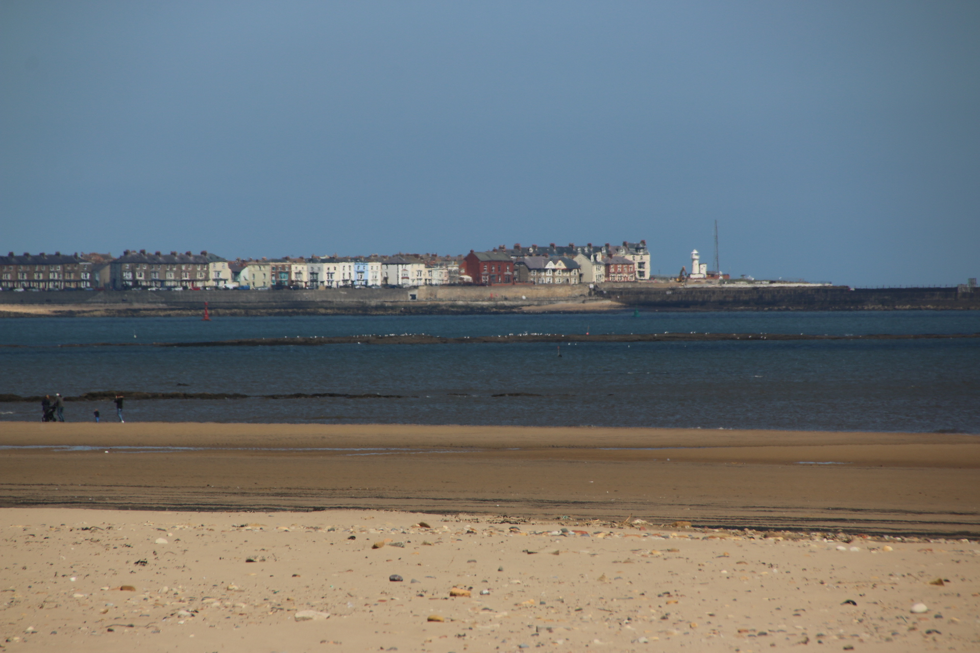
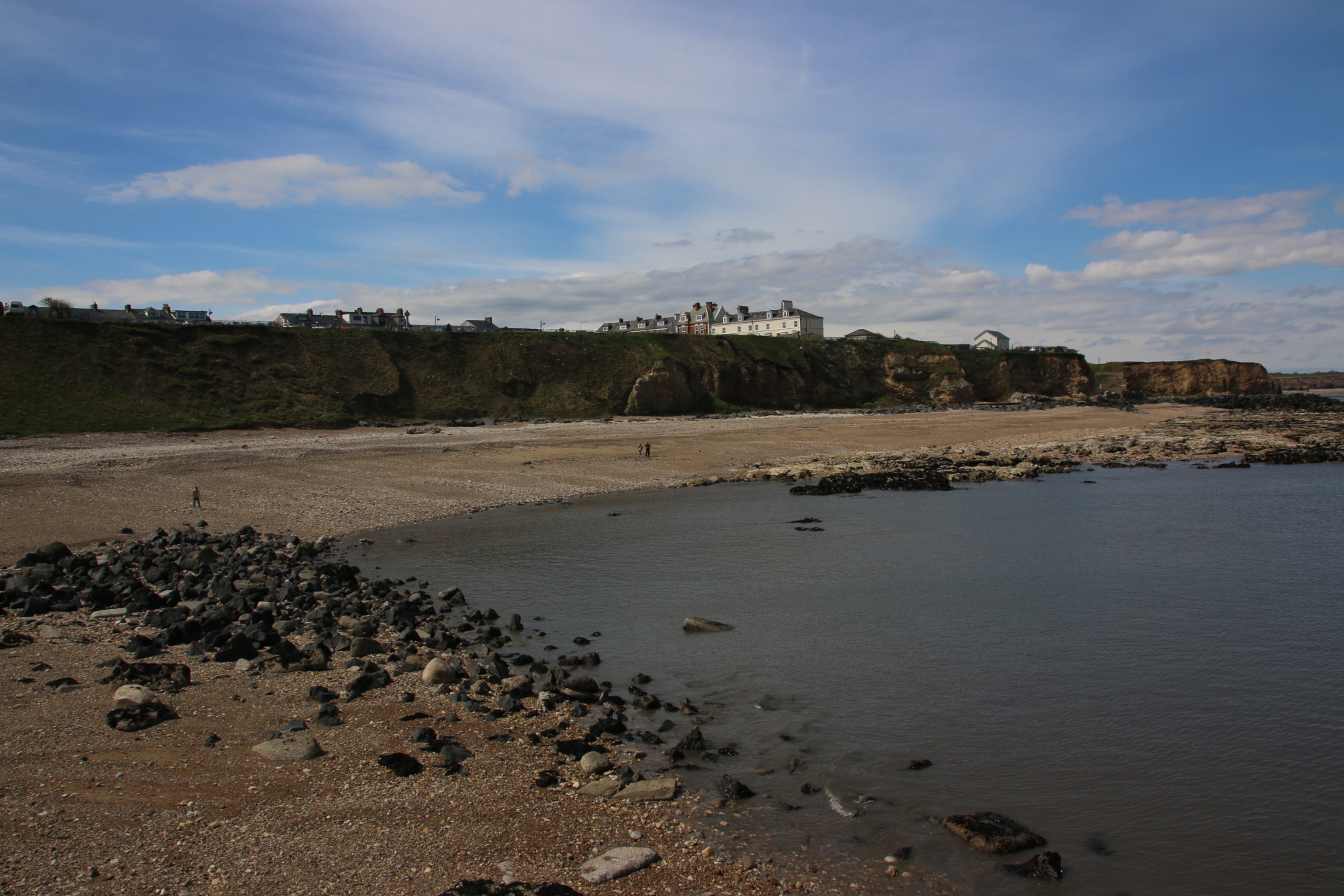
Once you get to Seaton and Hartlepool, yes Hartlepool, it all changes. Wonderful sandy beaches run in front of amusement arcades and candy floss sellers competing with all day fish and chips shops and guest houses. This stretch is real holiday coastline country. First is Seaton Carew that creates the front in front of Hartlepool.

Then up the coast, over the tops of countless colleries that worm their hidden way underground, out into the North Sea. This is Seaham with a mixture of fishing vessels, industry and pleasure craft moored in the harbour below the grand resort dwellings overlooking from on top of the cliffs.

Even Sunderland has a seafront that provides all a family needs. Oh, and its own type of pier.

Looking up the coast Whitburn Colliery remains hidden under protruding cliffs on each side of the sandy holidaying beaches. The only thing to give its shafts away are a couple of brick, cylindrical piers on the cliffside and a large open, grassed recreation area next door to Souter Lighthouse, the first one in the UK to be posted by electricity, created and paid for by subscriptions from the miners.

Finally the long beach of South Shields appears with Tynemouth lording it on the far side of, yes you guessed it, the River Tyne.


Back to the mixed splendour of the north east

On previous trips I travelled up the east coast as far as Whitby. On this short visit I am going further up to explore the historical riches of this coast which manifest themselves in industrial revolution and Victorian splendour mixed up with some pretty dire places that blot out the glory of this coastline.

The first gem is a small fishing village called Staithes with its hugely sloped & cobbled drop to the harbour. The Hovis advert would be at home here.

The town of Saltburn-by-the-Sea is a Victorian treasure with its elegant pier, its vernacular cliff railway, the oldest water-operated one in the UK, and its elegant mansion blocks nailed to the tops of the cliffs. It is both a surprise and a delight, fully worth a visit.

Now there’s a couple of places you might not go out of your way to visit. Just down from the steel works is Skinnigrove, by the ‘sewage output’.

And then there is Redcar with the tractors and fishing boats up on the sea defences of the esplanade and the lines of wind turbines off shore.


The beaches of Boscombe and Bournemouth

Before I start on the ‘B’s I have to share with you the two ends of Milton-on-Sea. The east end shows off its traditional beach huts. The west end has ‘new beach huts’; 21st century beach huts with parking above.

Hmmmmm. What do you think? I know which I prefer.

So the road goes up and over the cliffs until it drops down to Friars Cliff. Now this is a wonderful place for family holidays. The pebbles begin to drop away and the beach becomes super sandy. The beach huts are a class above their ones I’ve seen so far on this trip. One is for sale for a cool 15k if you have money to spare. Even beach huts need a lick of paint and some tarting up if you’re gonna be seen enjoying the summer on the beach.

I love this image:

Monsieur Hulot’s Holiday comes to mind.

Anyway, on to Boscome before hitting Bournemouth. Both are very similar with their promenades, their sandy beaches, their piers; yet they are very different in character. School was out in Boscombe with a procession of young children racing down to the beach on their scooters, their bikes, their skateboards, all in beach gear and yelling at each other while older siblings showed off acres of tattoos that covered every bit of exposed flesh which must have cost an arm and a leg (you see what I did there, clever eh?)

Maybe this is summed up by the incident that occurred at the ice cream shack at the entrance to the peir. The mum in front of me had 3 young kids. She was being really patient trying to get them what they wanted. The first in line got a single cone and started to tuck in while mum was sorting the others out. A long lick unsettled the scoop which plummeted to the ground. Her little face crumbled and she tugged at mum’s dress. Mum looked down and without breaking her dialogue picked up the ball in her right hand and placed it back in the cone with a squelch. ‘It’s been on the ground’ I started to say in my middle class tones. Mum and child both shrugged their shoulders and carried on with their previous tasks of licking and ordering and ignored me completely. Oh well. Now Bournemouth.

Bournemouth beach was really heaving and school was out here as well. But it had a completely different feel. The kids were older and in much larger groups. Barbies and cans arrived in copious quantities. The guys had all between working out in that part of the gym that builds muscle tone ( I’ve never been there, I have to say) and carried two different types of six packs. The girls had torn every bit of clothing and huddled in groups away from the sand applying makeup so they could emerge from their huddle as painted insects, each convinced that she was the main bee of their little hive. Every inch of beach was covered with beautiful bodies all posing and secreting hormones. The pier was almost empty, only a small trail off more mature punters made their way to the far end for a pint and some fish and chips.

I rather liked the pier and the beach huts. The youngsters seemed to ignore these symbols of more mature beach activity. I felt safe here with the normal people who ignored all the posing that was going on around them and just enjoyed making a cup of tea and reading a book.

Home tomorrow, with some lovely images, all with glorious blue skies, and rather a red face!


Taking Southampton’s Waters.

Today it’s up the east side of Southampton Water and down the west side. My first  port of call (did you like the way I did that – ports and all that!) is Hamble-le-Rice. What a name; it sounds so historical. This is reflected in its narrow cobbled streets that don’t seem to have changed for centuries. Along the banks of the River Hamble it provides moorings for a huge fleet of very classy  yachts arnd sailing boats. At high tide the vessels can escape the clutches of the village by entering the main channel and heading out into the Solent and the open sea. I rather liked the village itself and its sense of timelessness.

Heading up the Water I hit the city of Southamton. The banks of very channel, every creek, every tributary, every part of the estuary have disappeared into new developments of tall, classy & classy apartment, I’m sure with a suitable amount of social housing, and high end office blocks.

Industry and commerce have stood their ground on the banks. The docks, numbering at least 20, claim ownership of much of the waterway. Other industries fight for space – huge container parks, parked cars awaiting exportation, an oil terminal, a power station, cruising and ferry terminals, cranes and piles of containers hog the skyline, despite the efforts of picturesque boats trying to hide the sore.

Down the west side of Southampton Water is the small gem of a town called Hythe. Its cobbled, traffic free streets give it a charm, exaggerated by the grey hair of visitors and locals alike. Its main claim to fame is its passenger ferry across the estuary to Southampton which has been operating since the mid 16th century. The ferry is reached by a long pier, maybe about 500 metres in length, that struts out into the main channel. To help with the walking a small line runs beside it and a small engine and carriages runs up around down the pier. My luck is in.

Calshot lies right down the bottom of the estuary. A rather grand collection of beach huts line the pebbled shore.

Sadly a barrier stops exploration of the point with Calshot Castle in the distance. However the map on the gate shows that it is now a Activity Centre with a velodrome and a dry ski slope. The castle was built by Henry VIII in 1540. During the war the buildings housed the workshops that built the Sunderland sea planes. The radar is still working and aid the cruise liners and cargo ships as they negotiate their way up the Solent.