Lourmarin & Saint Julien – two sides of Provence

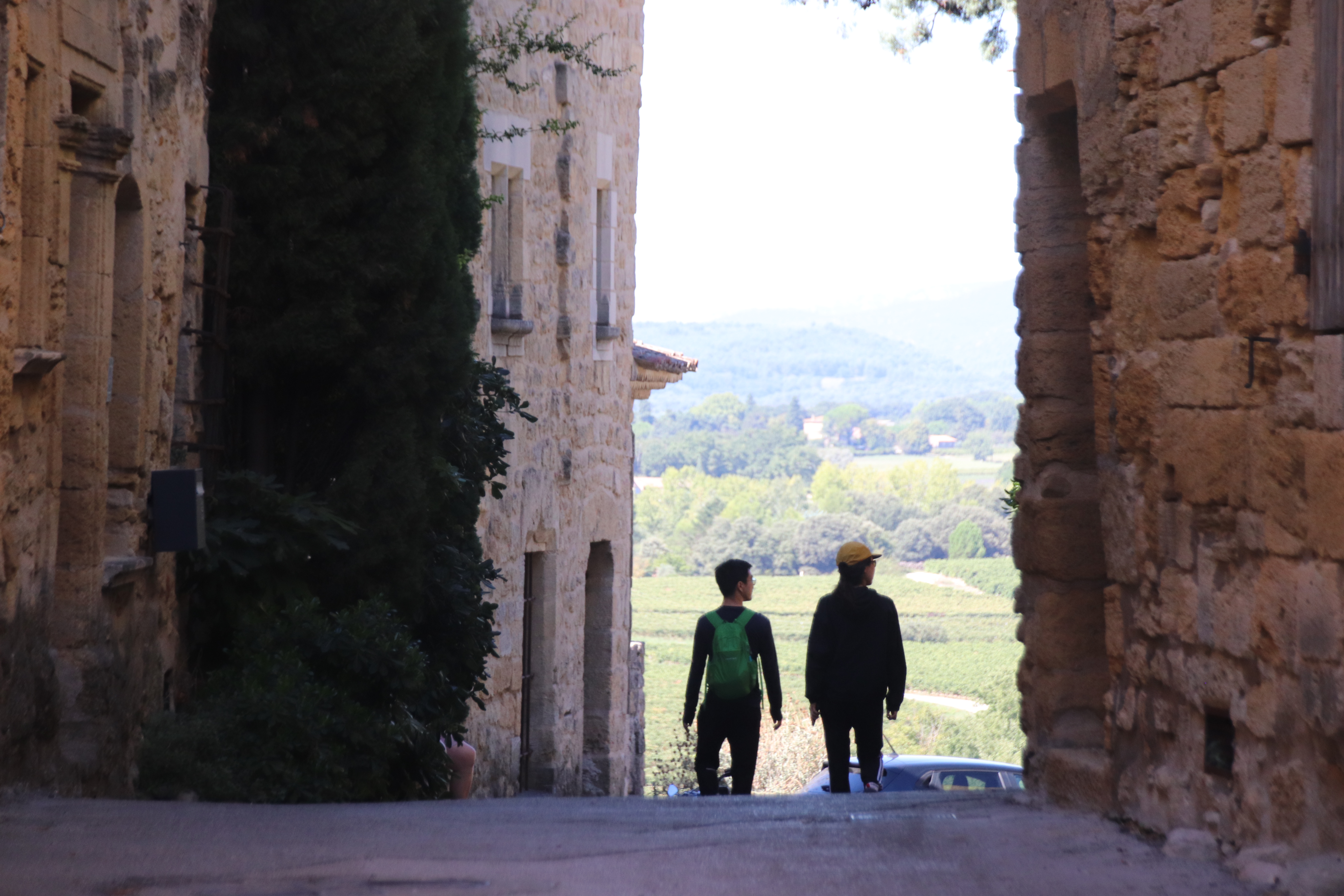
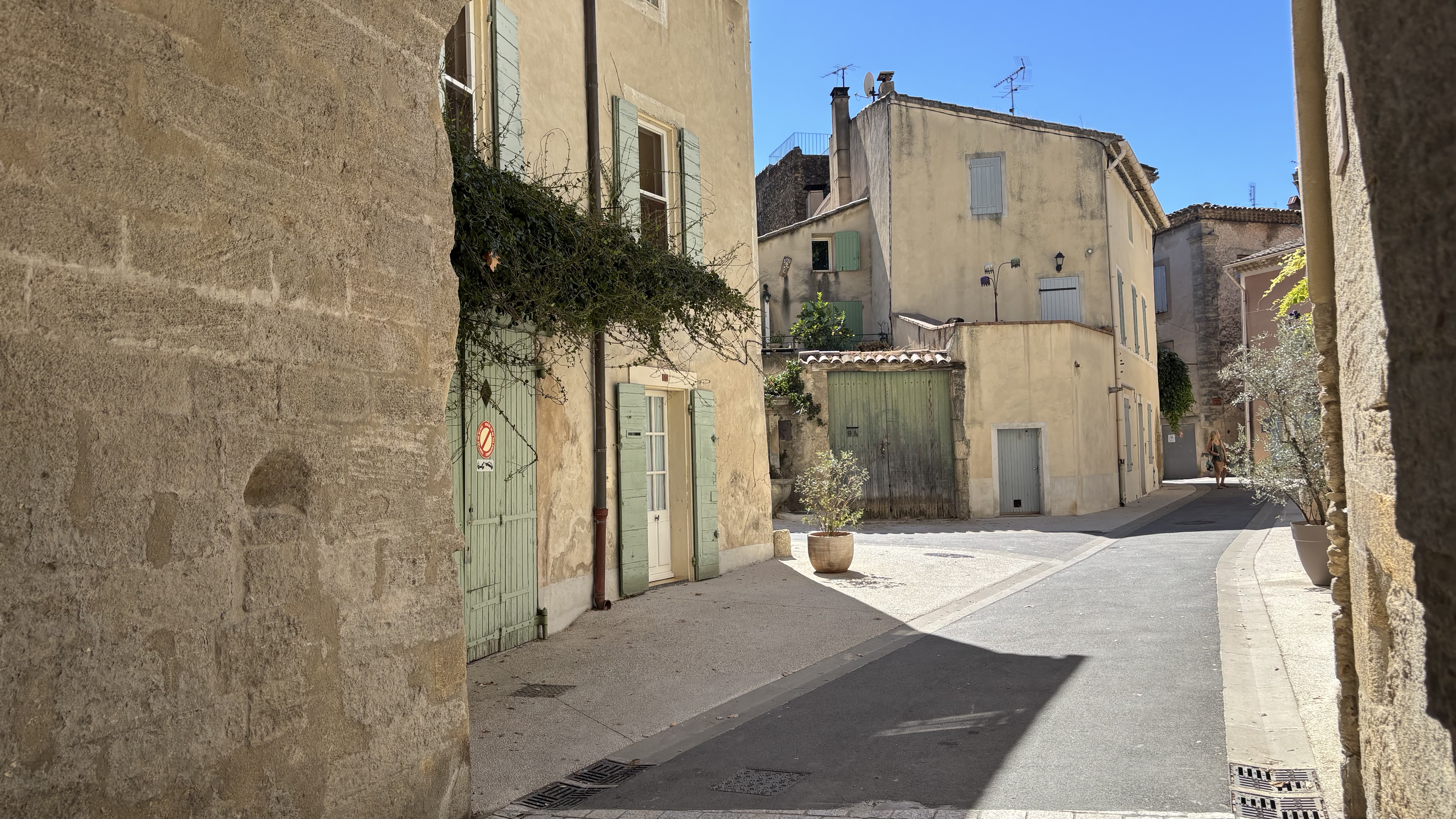
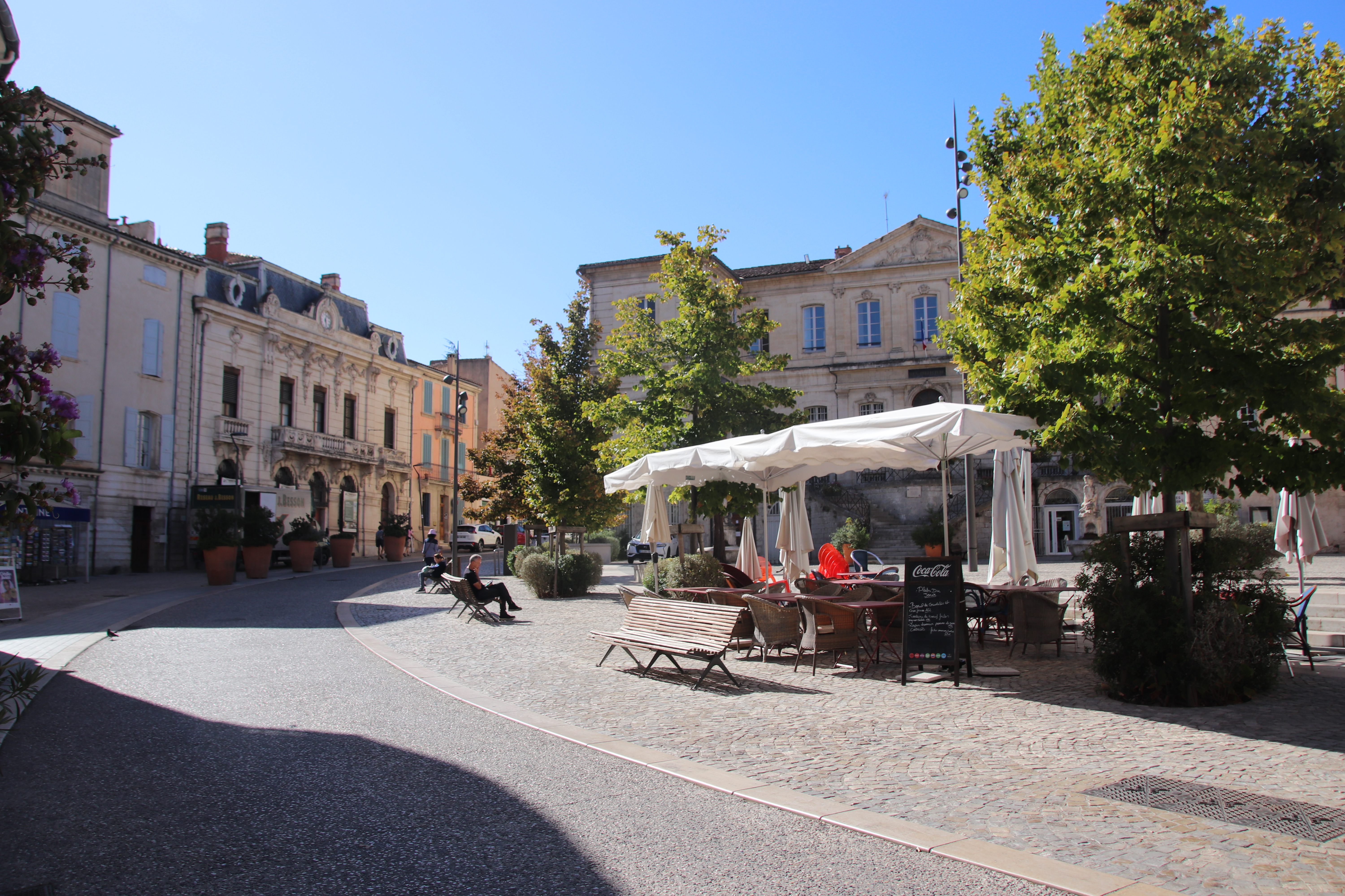
Two villages, one largish, one smallish, Lourmarin, St Julien, each at either end of the Provençal spectrum, yet each encapsulates the region’s special character in their own special way. One, the former, sports a very impressive chateau, wonderfully elegant, pale-stone homes/buildings suitable for the wealthy classes & maintained to a high degree with statues & ornate squares & courtyards, reflecting affluence & riches.
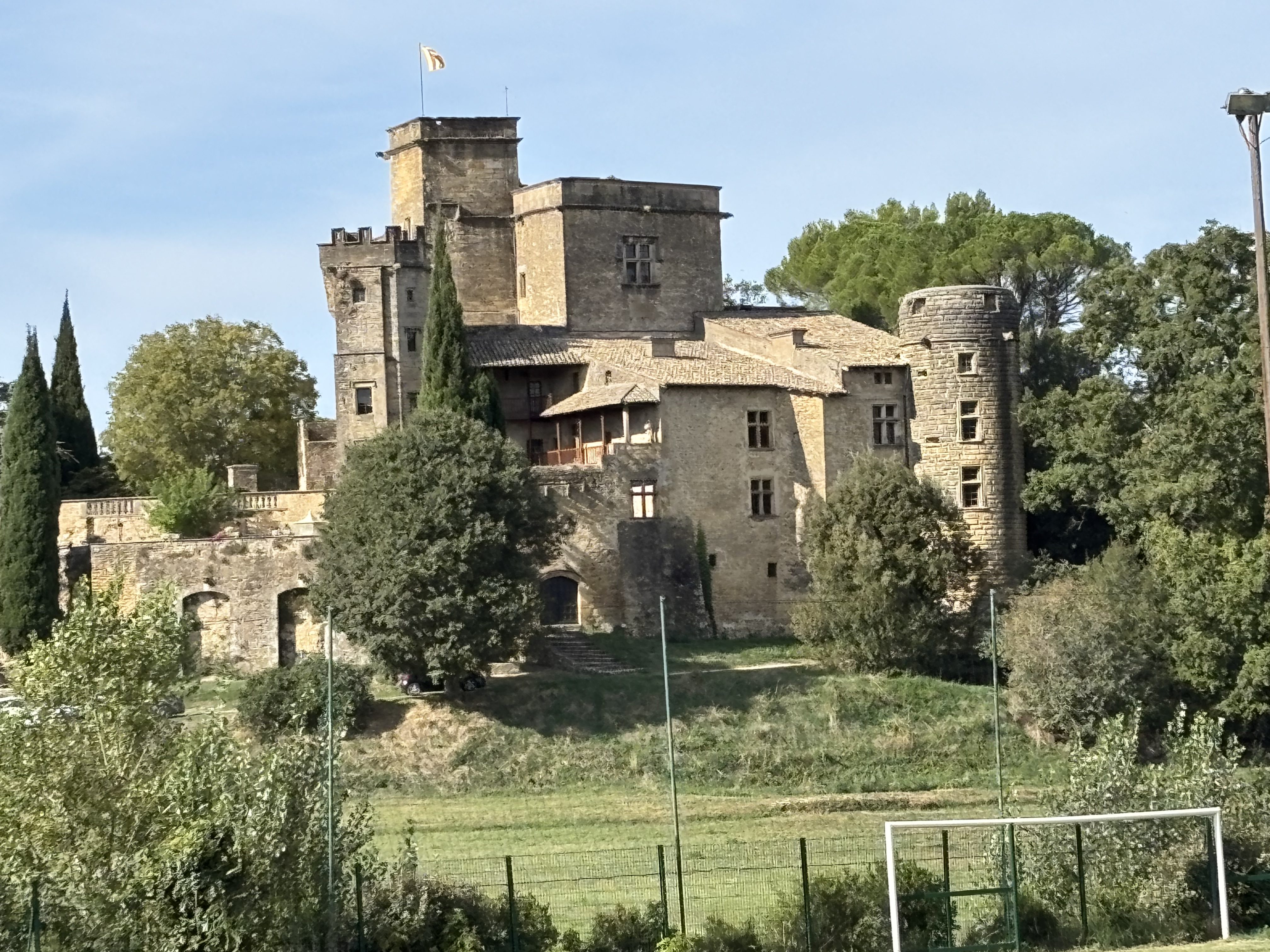
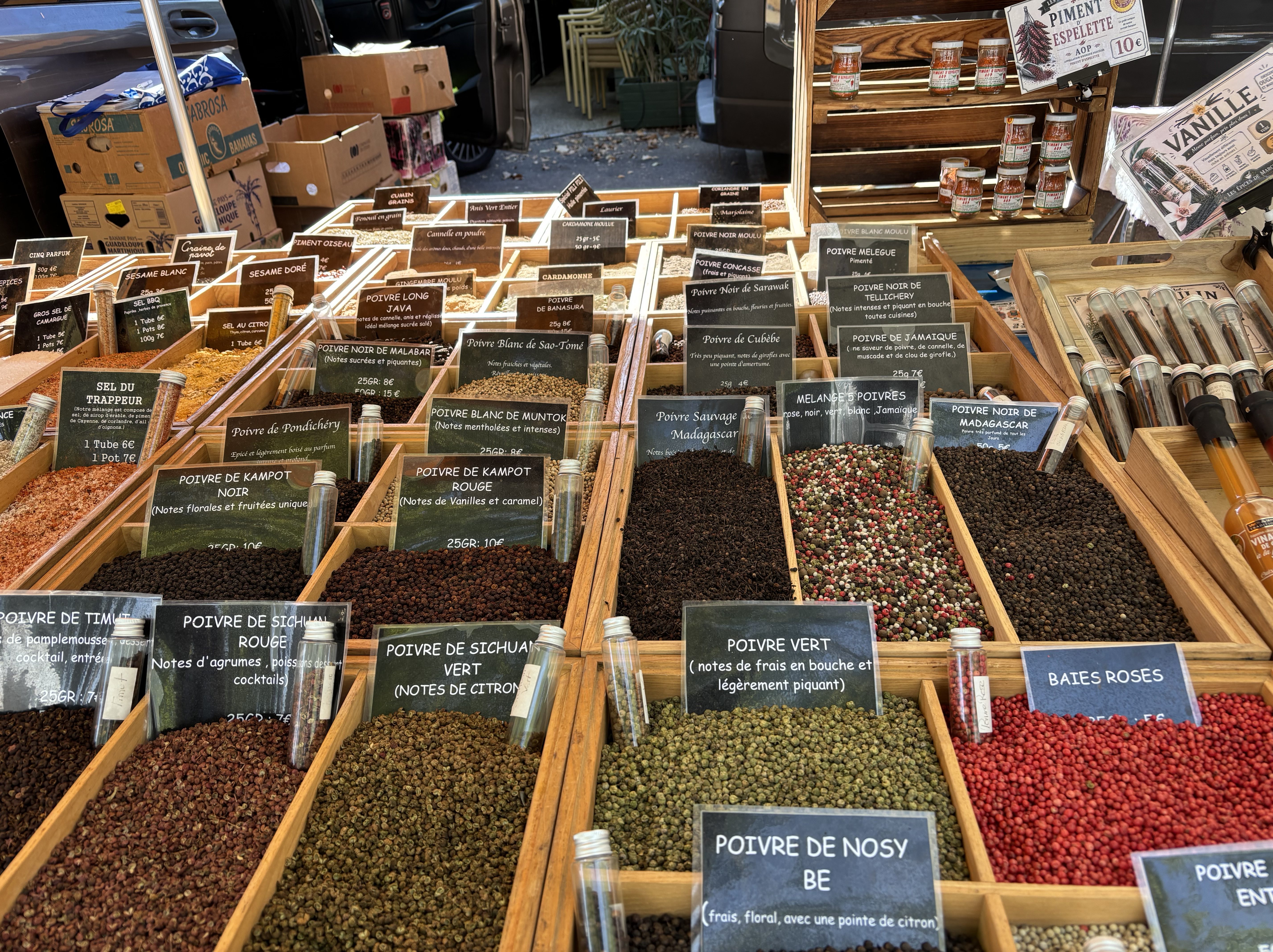
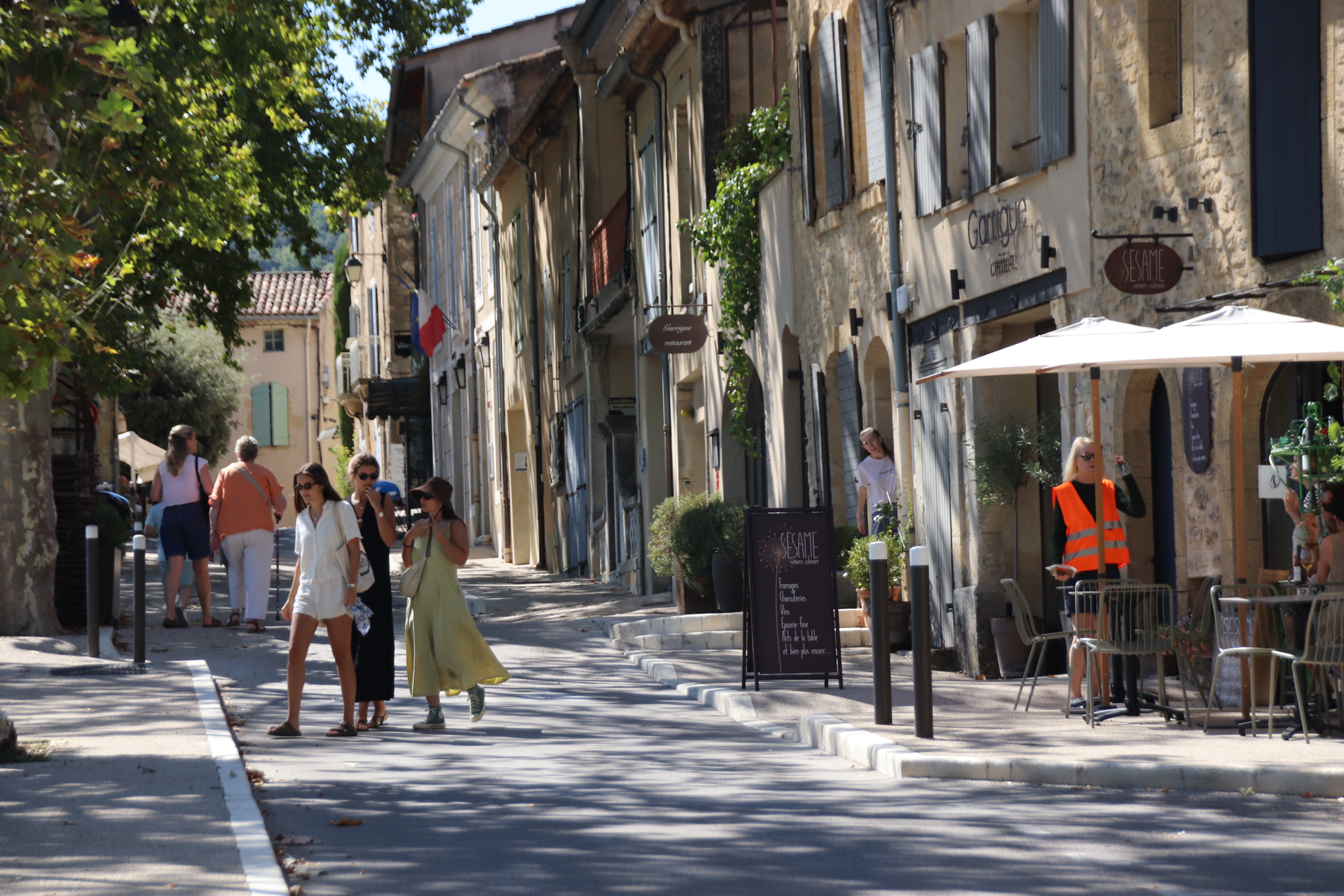
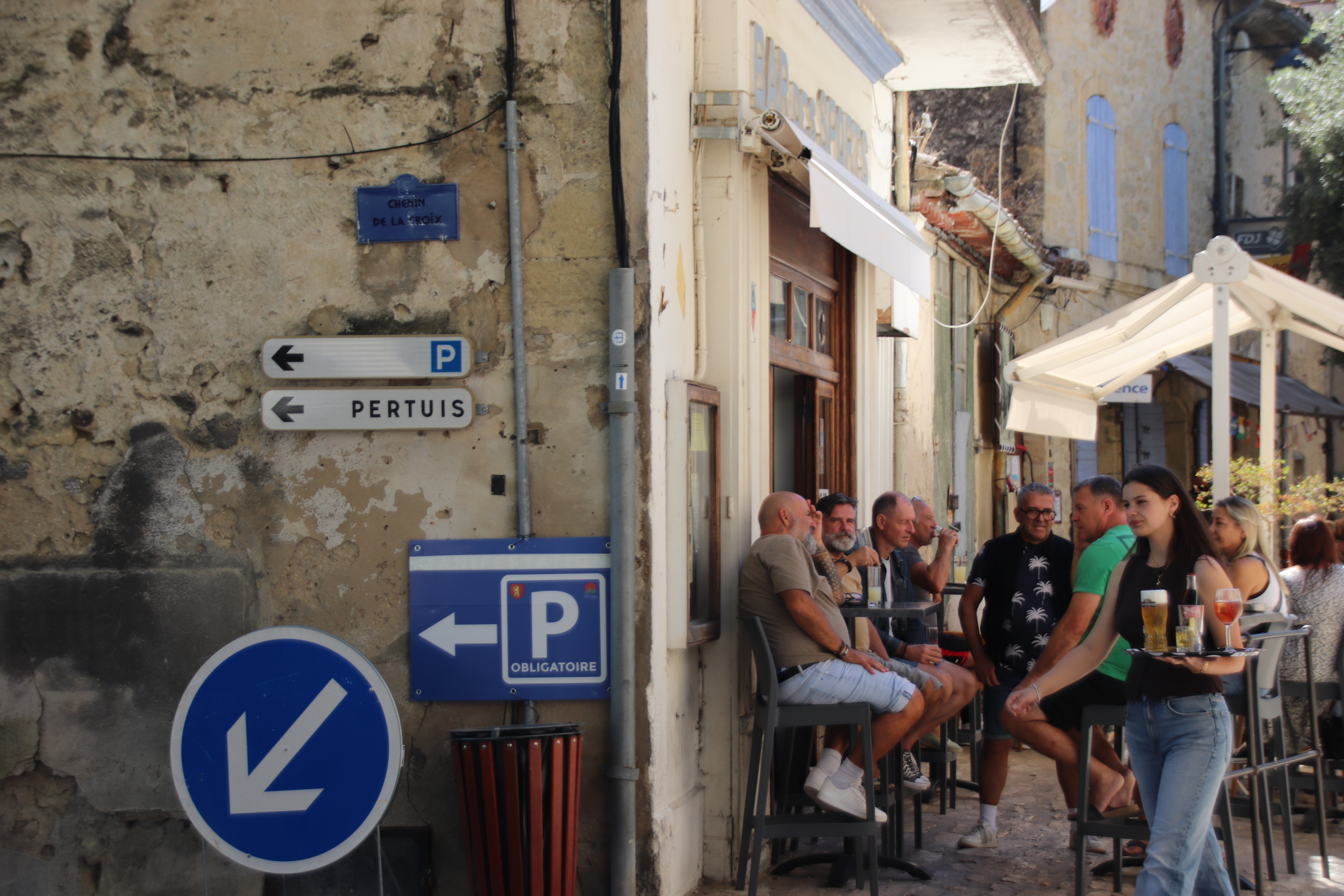
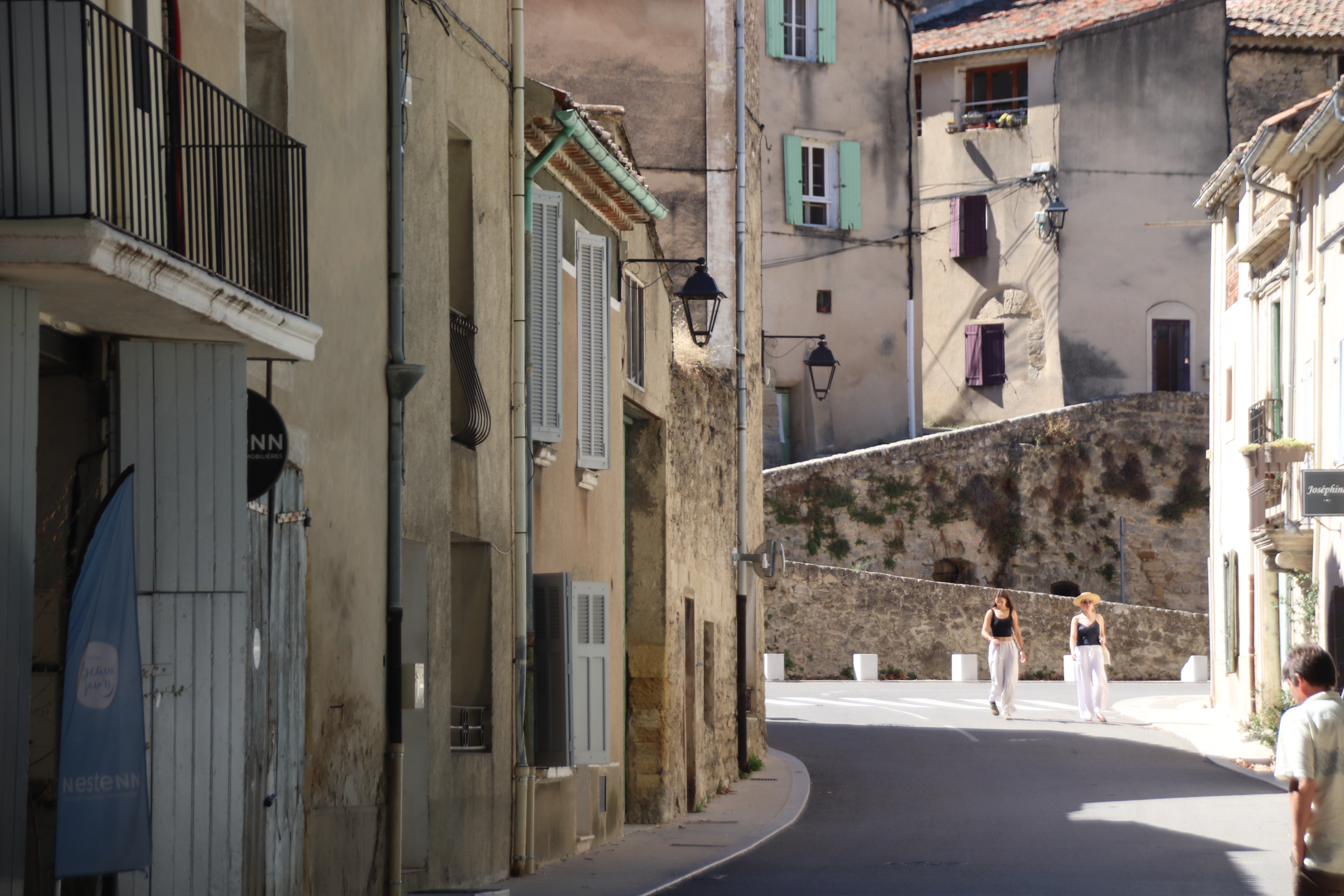
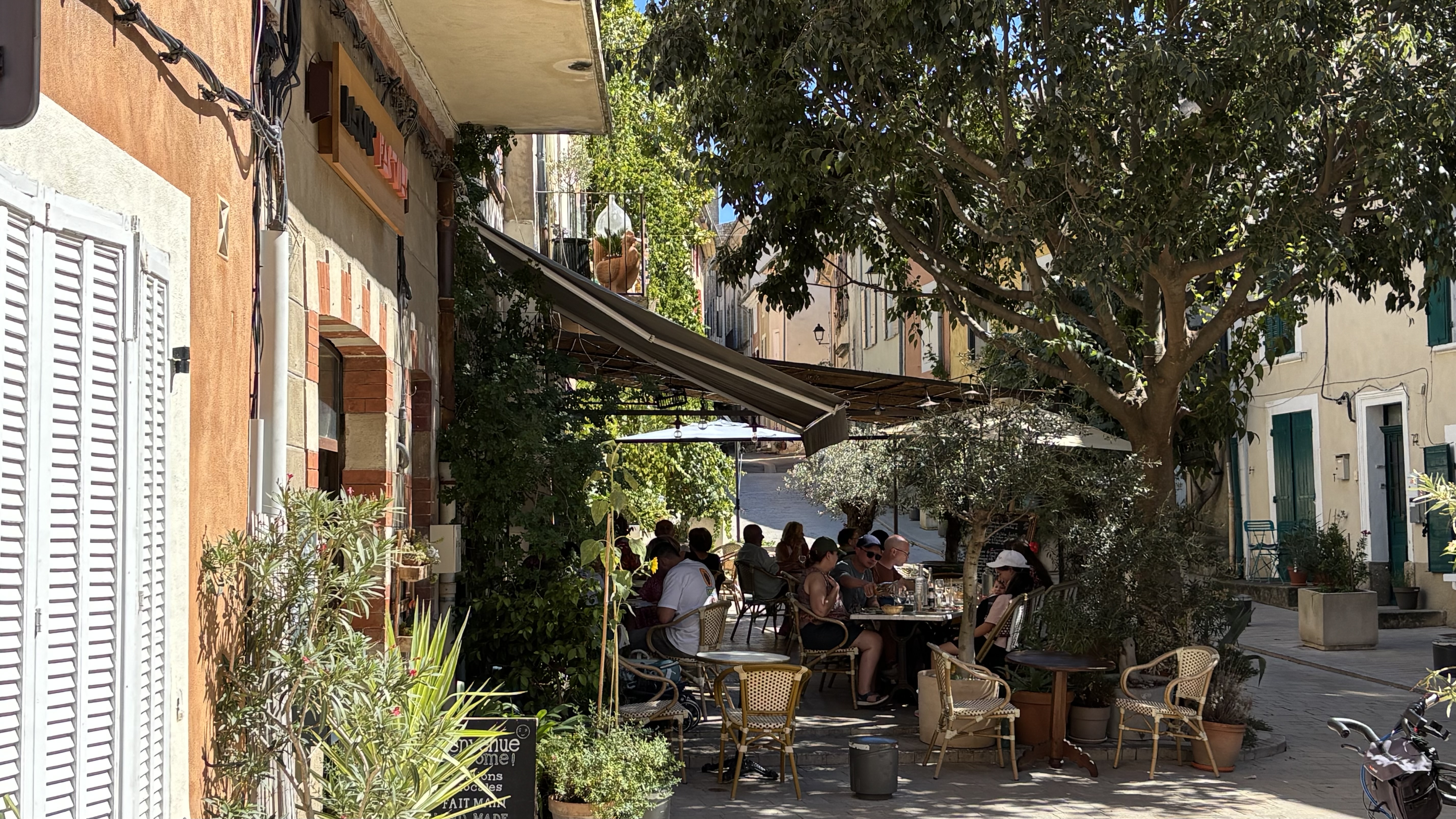
Unlike typical, perched villages in Provence, Lourmarin sits not a hilltop, but in a valley at the foot of the Luberon mountains,  overlooked by the aforementioned chateau. Famous for its winding cobblestone streets & alleys, lively cafes & wine bars, restaurants, galleries, exhibitions, & high-end boutiques, every Friday it holds a open-air market.
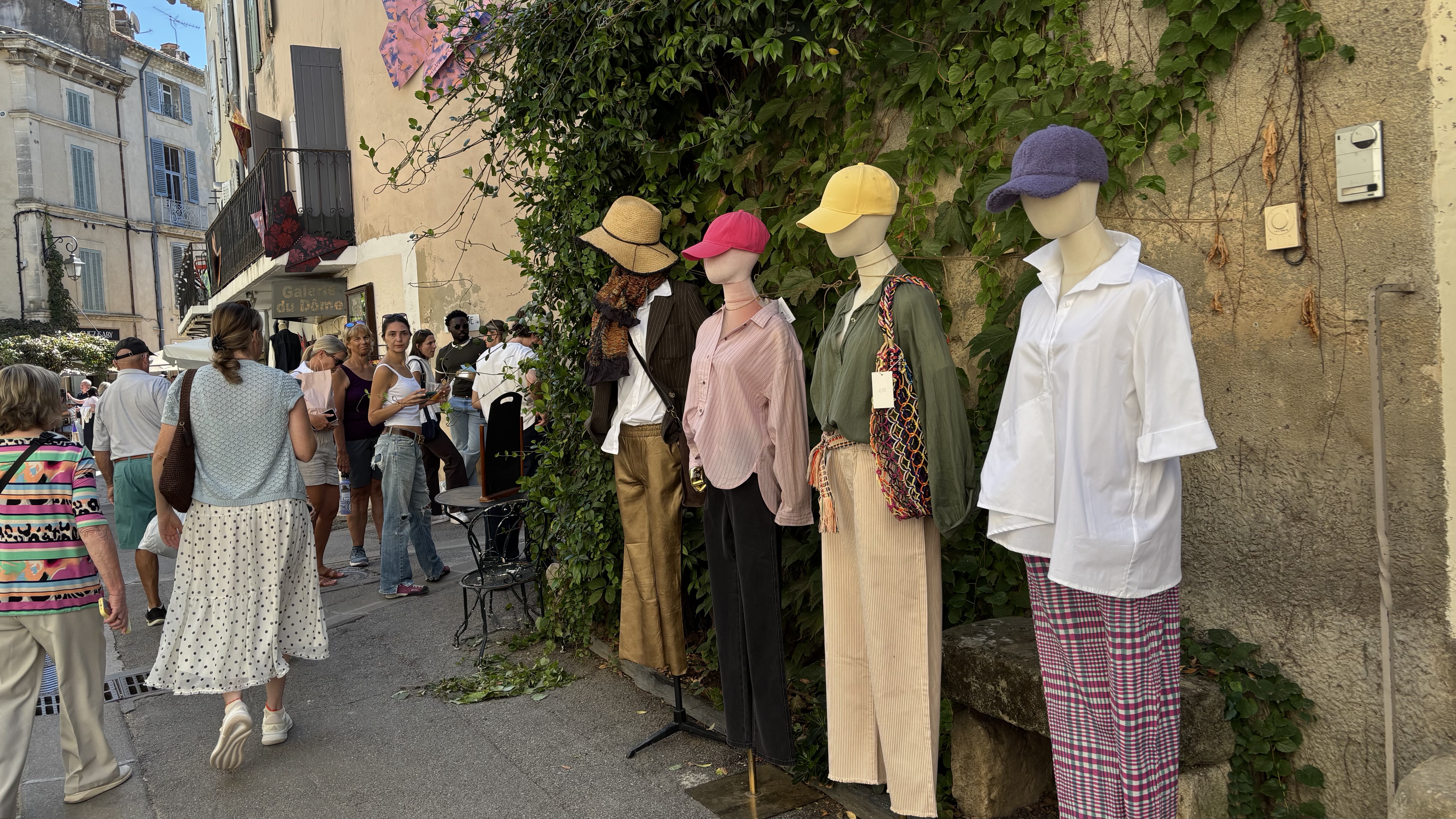
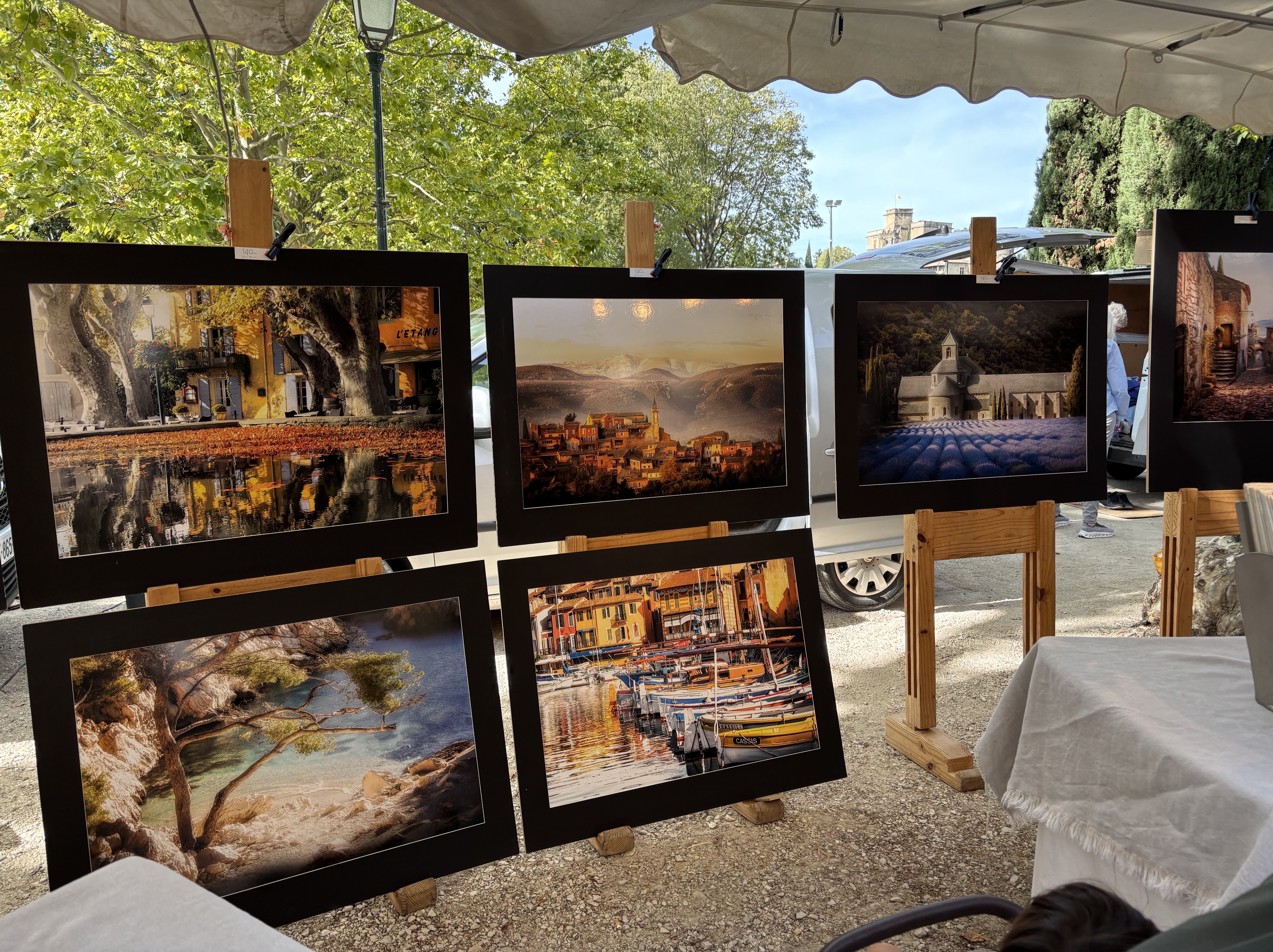
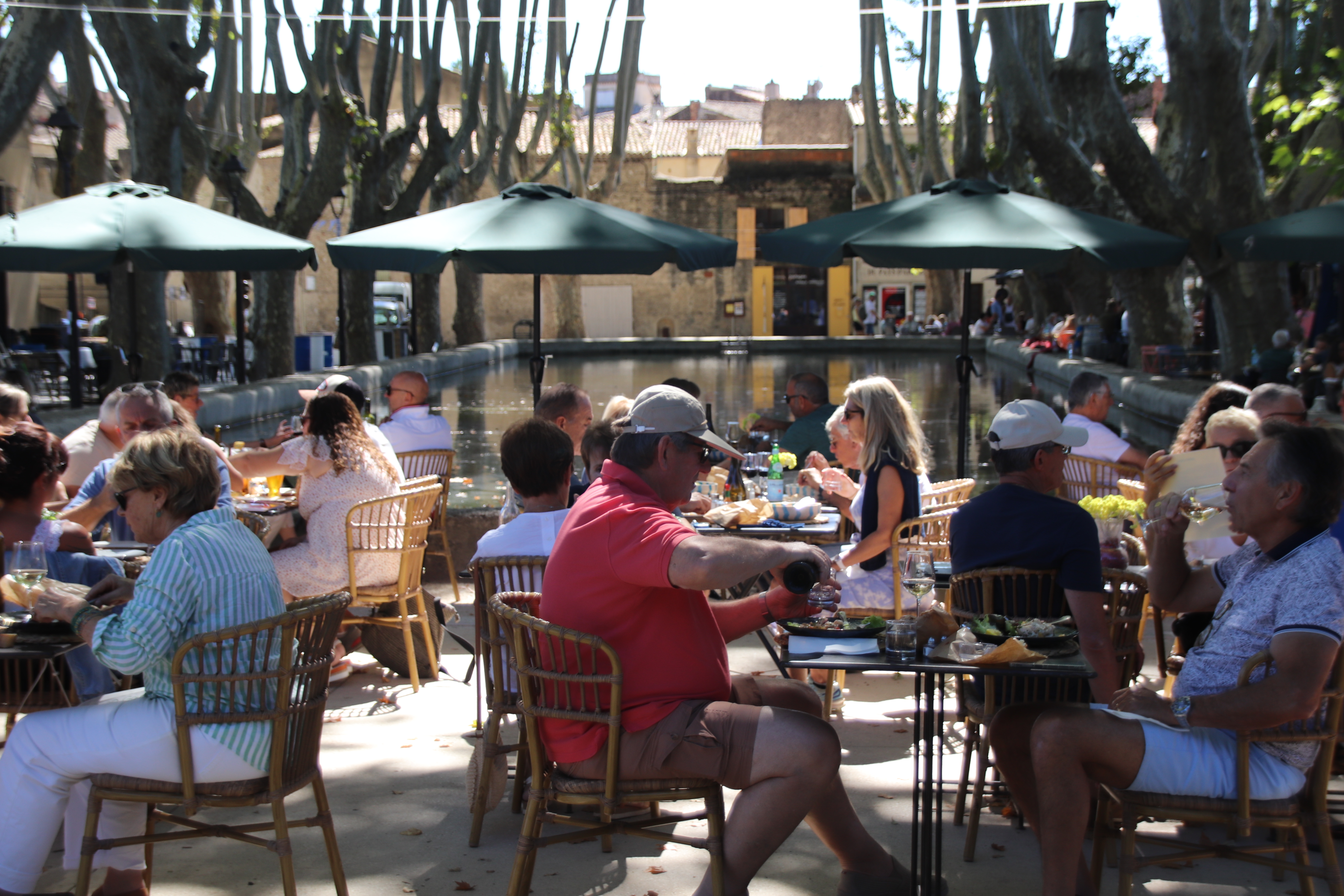
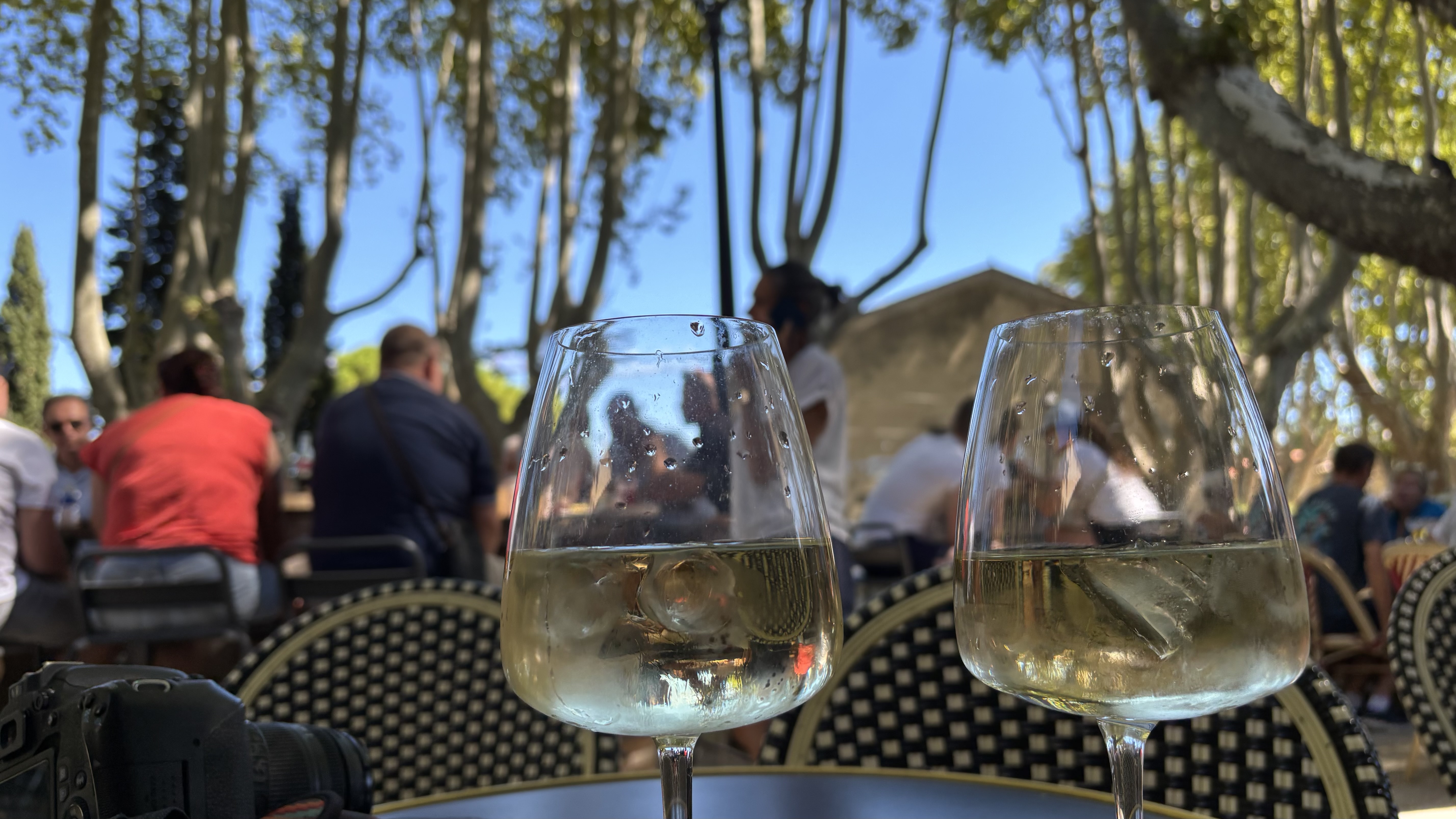
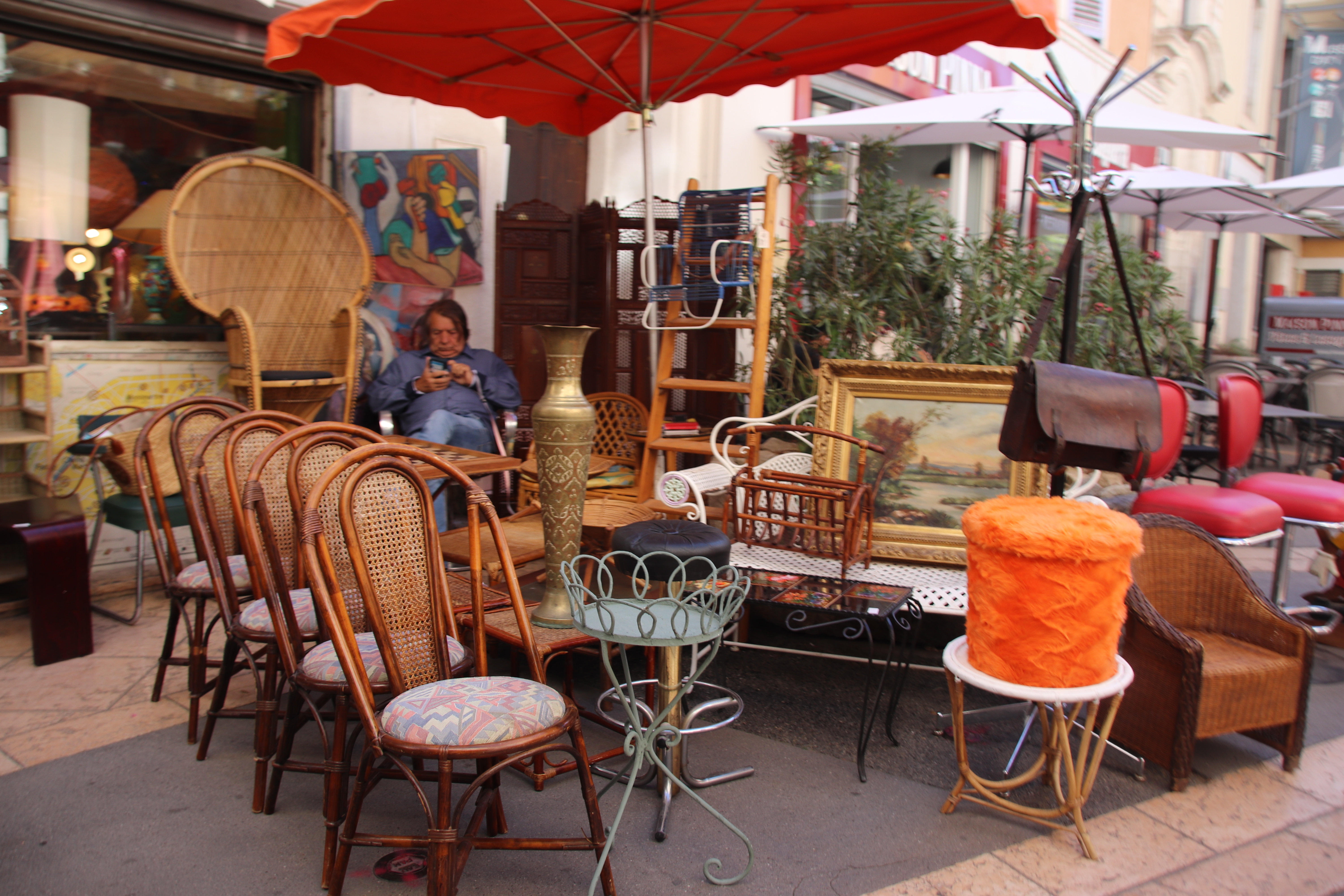
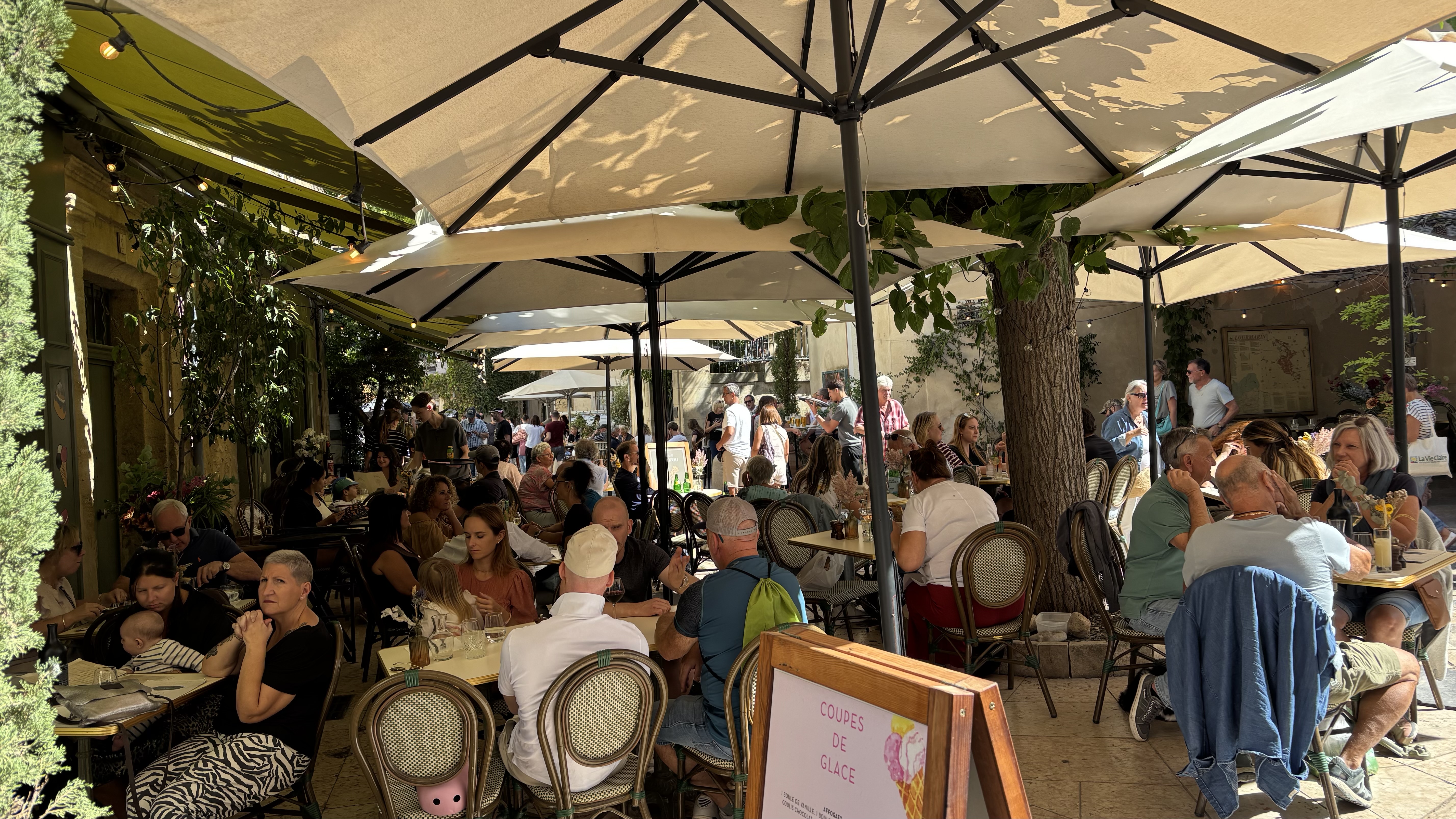
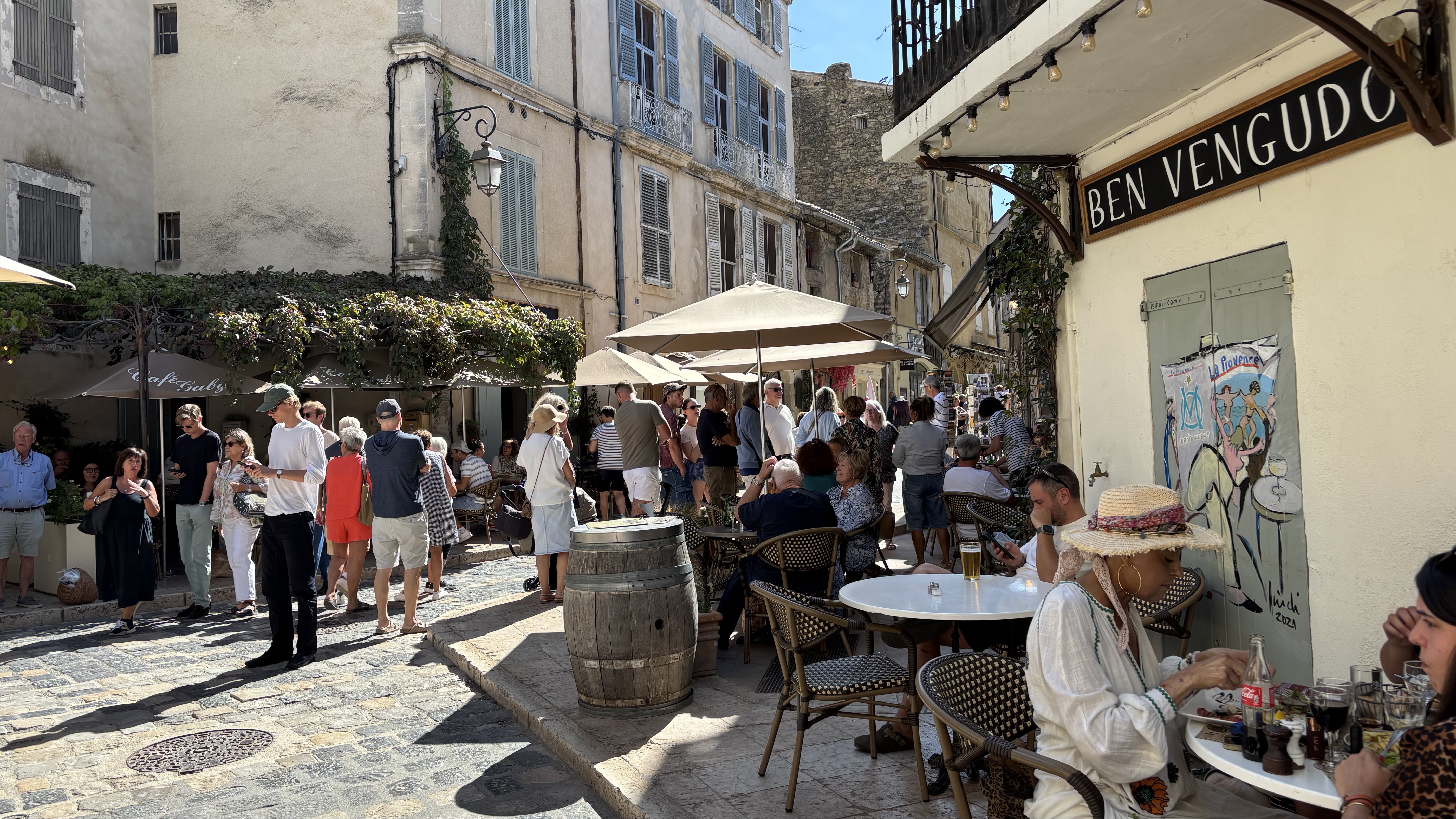
This vibrant event takes over the whole of the centre of the village, enhanced by views of the Luberon landscape. An avalanche of white-umbrellered vans & stalls cascade into the tripod of narrow, mainline streets, setting out bright, colourful displays of wares & produce. A bustle of well-groomed, well-attired, well-heeled, generally well-to-do, clientele, locals & visitors alike, circulate at a leisurely pace, no ‘brisk’ walking here! At different times, the tables crowd up for coffee or lunch. Bottles & glistening glasses of rosé & white clutter the tops as the beautiful people share their baskets, their anecdotes & their gossip. Friends & neighbours meeting up or just the desire to be seen?
At the other extreme is the historic hamlet of Saint Julien. A tiny settlement on the other side of the river, perched on an isolated knoll overlooking rocky plateaus, lavender fields, vineyards & the Verdon River. This place was built for the working man.
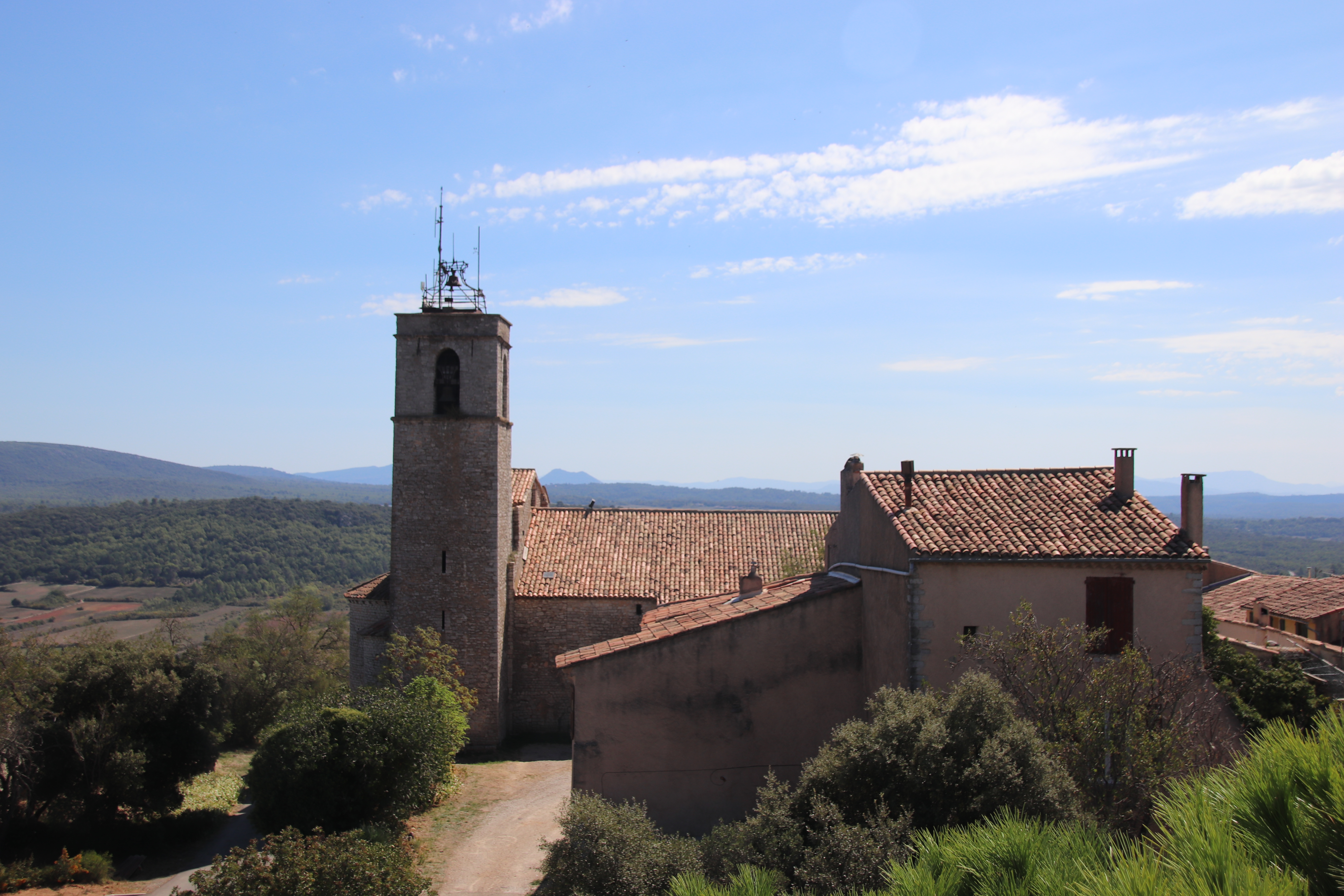
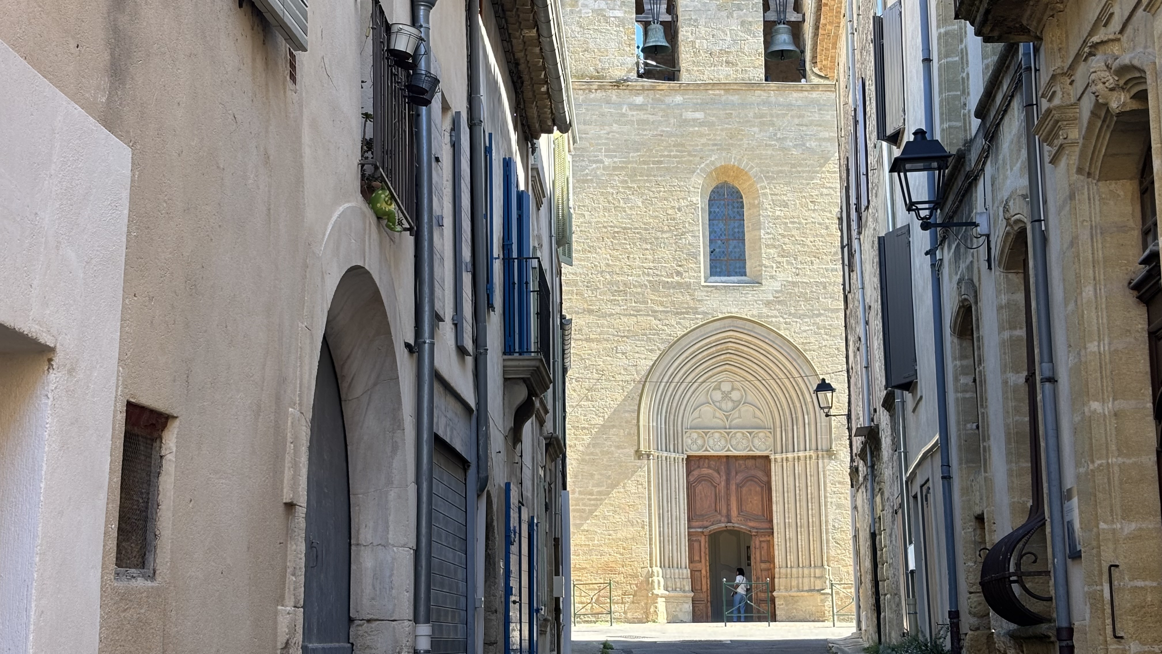
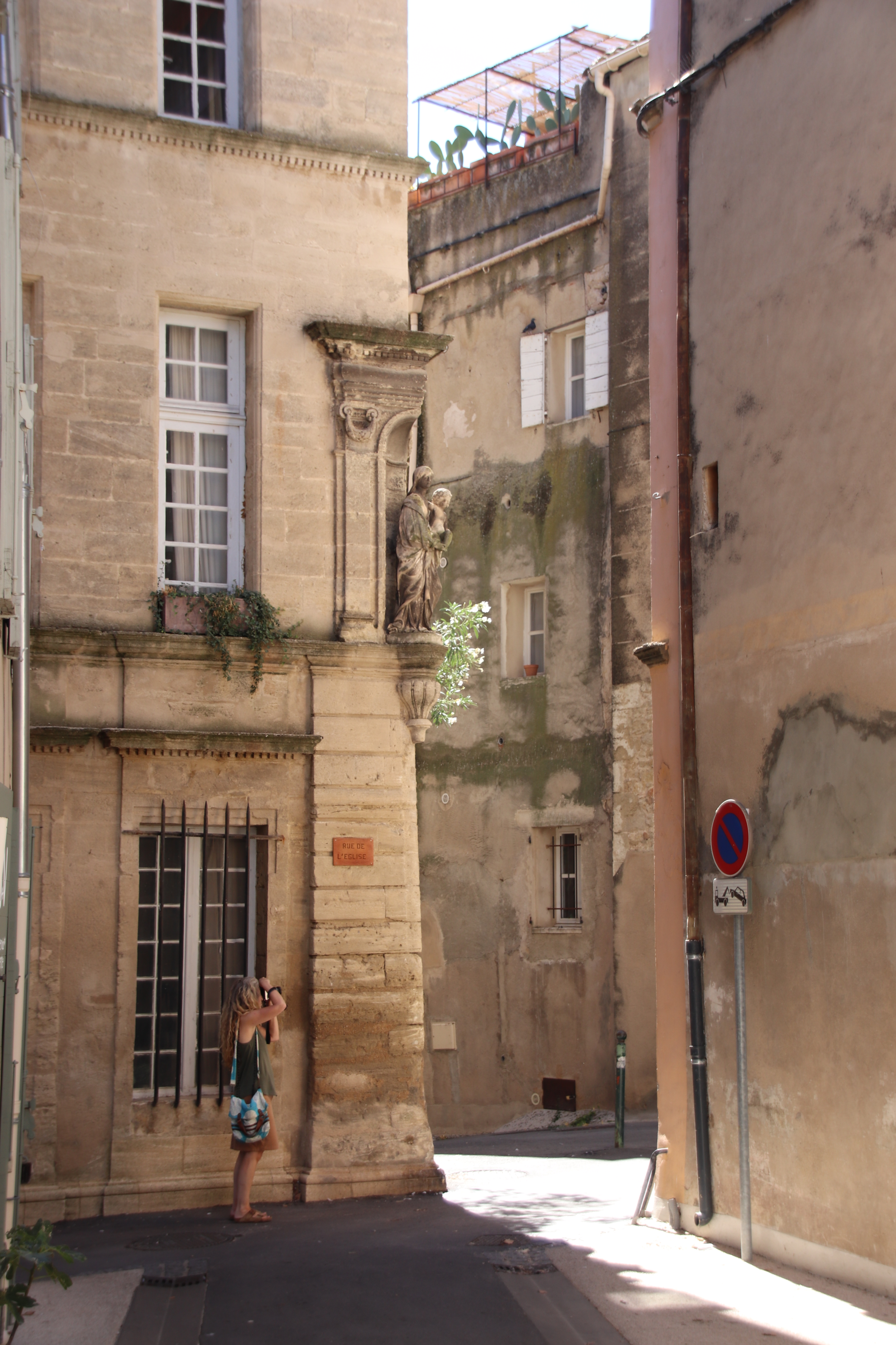
Once through the medieval ramparts, the streets are cramped & tight. There is little evidence of anyone living here other than the occasional parked car. Having negotiated a route through the donkey-sized, narrow, stone lanes to the other end of the village, the 12th century Church of Saint Julien & Sainte Trinité awaits. Built in the late 11th/early 12th century on foundations that included elements of a 6th century sanctuary, side aisles were added between the 13th & 15th centuries. The current bell tower was built at the beginning of the 18th century, as evidenced by more levelled stone work.
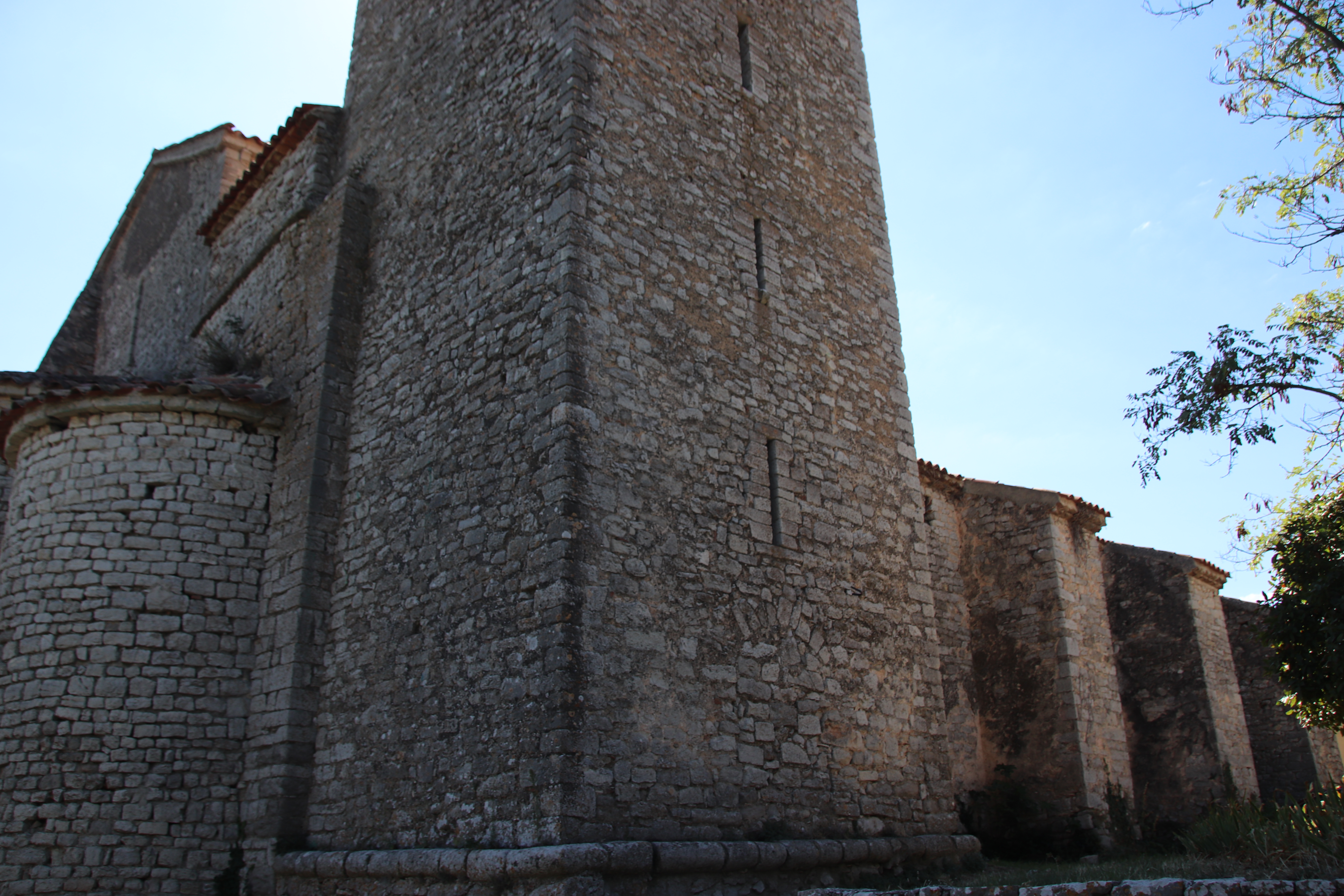
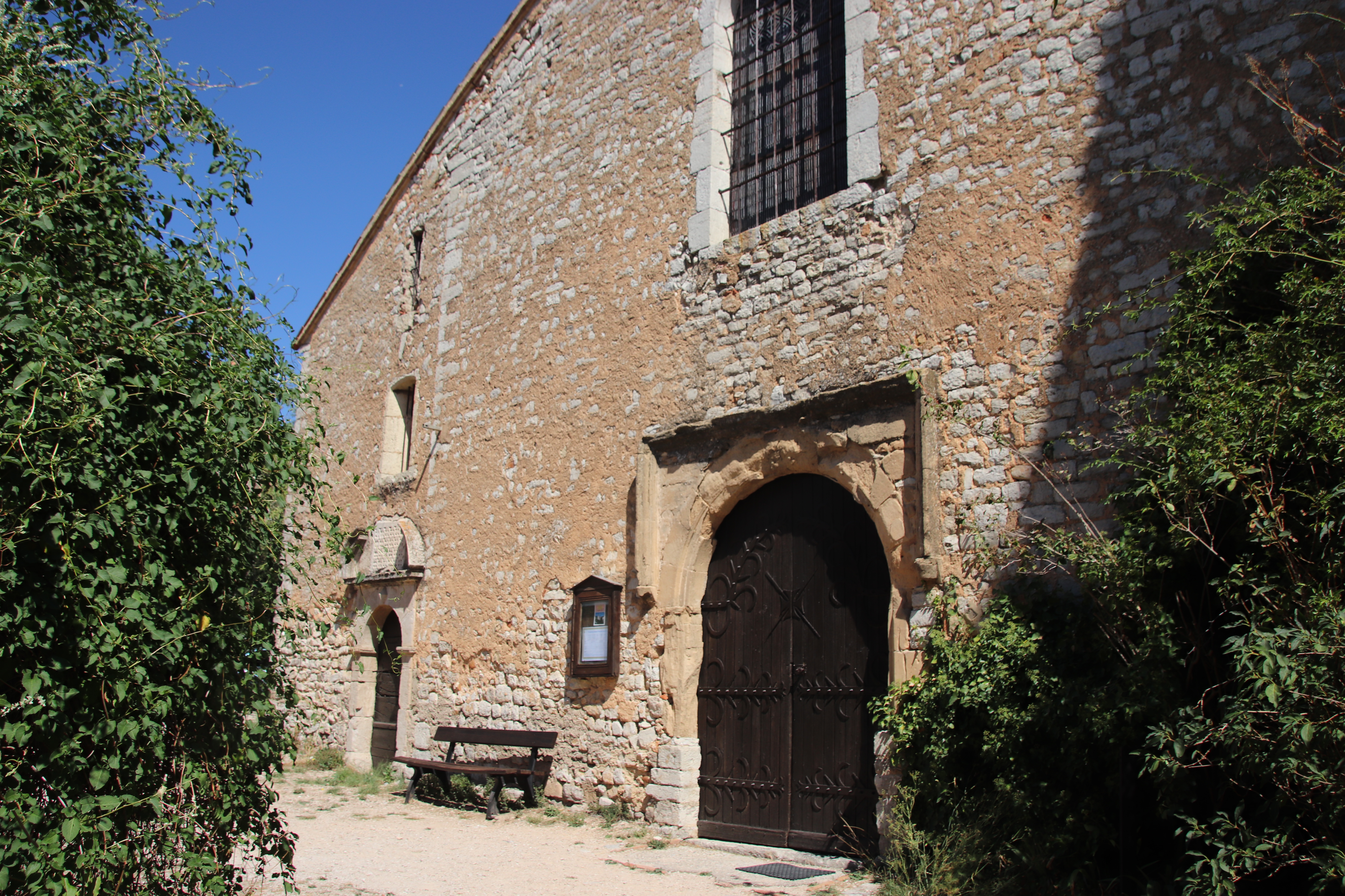
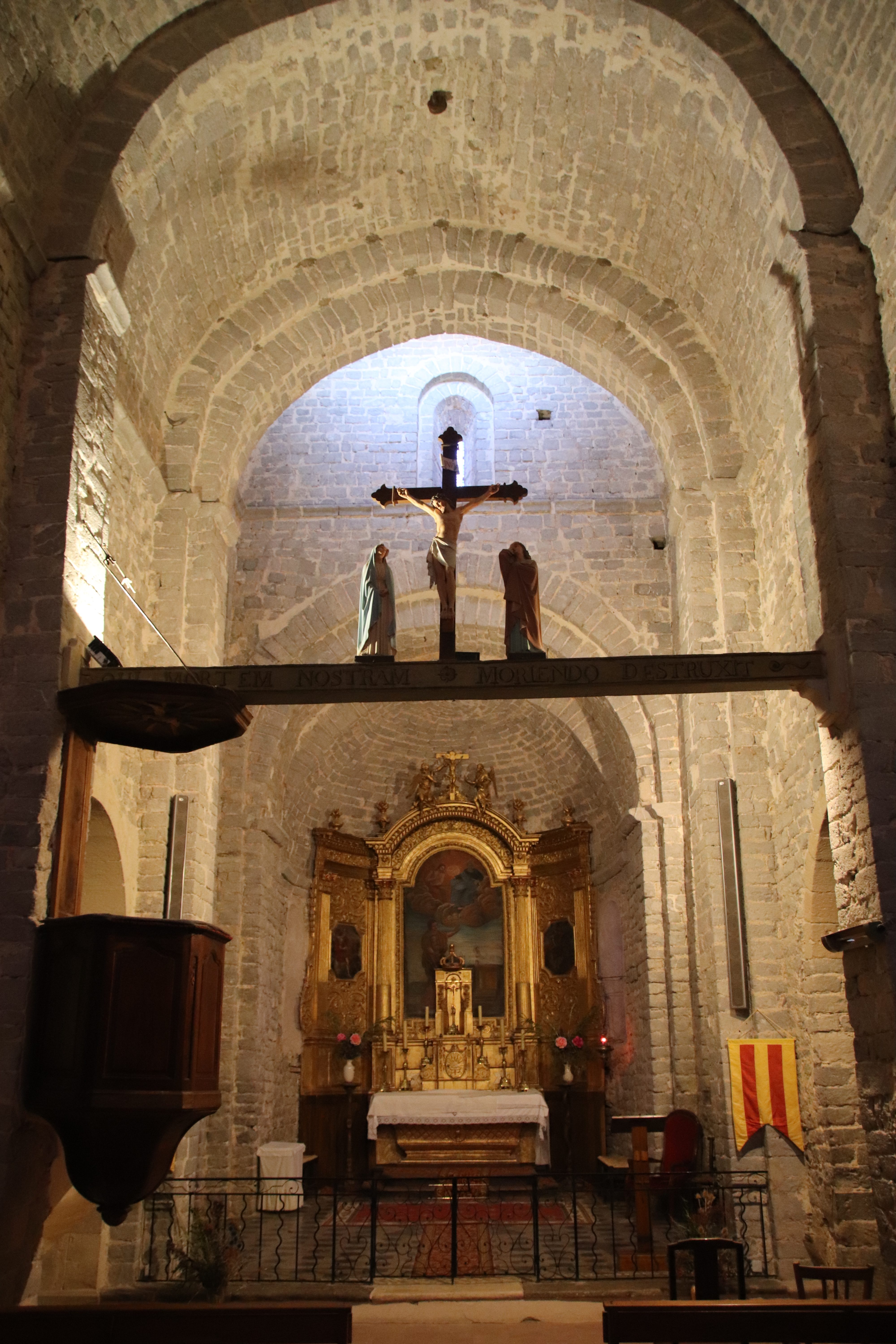
The ancient doors to this Romanesque church open on metal sliding tracks. With squeaks & scratches, the internal door also opens inwards and closes behind with a slight shudder. Pitch black, and I mean black! With a dull clunk, the slightest movement prompts a single, dim, automatic light to flood the chancel with a gentle glow. The full timelessness of the past can be felt. The hopes & fears of a poor, working community, the awareness of deity & devils, trials & tribulations spreads from the darkness of pre-medieval times. Life or death scenarios permeate the walls & the pews – crop failure, the weather, floods, frosts, drought, the harvest?
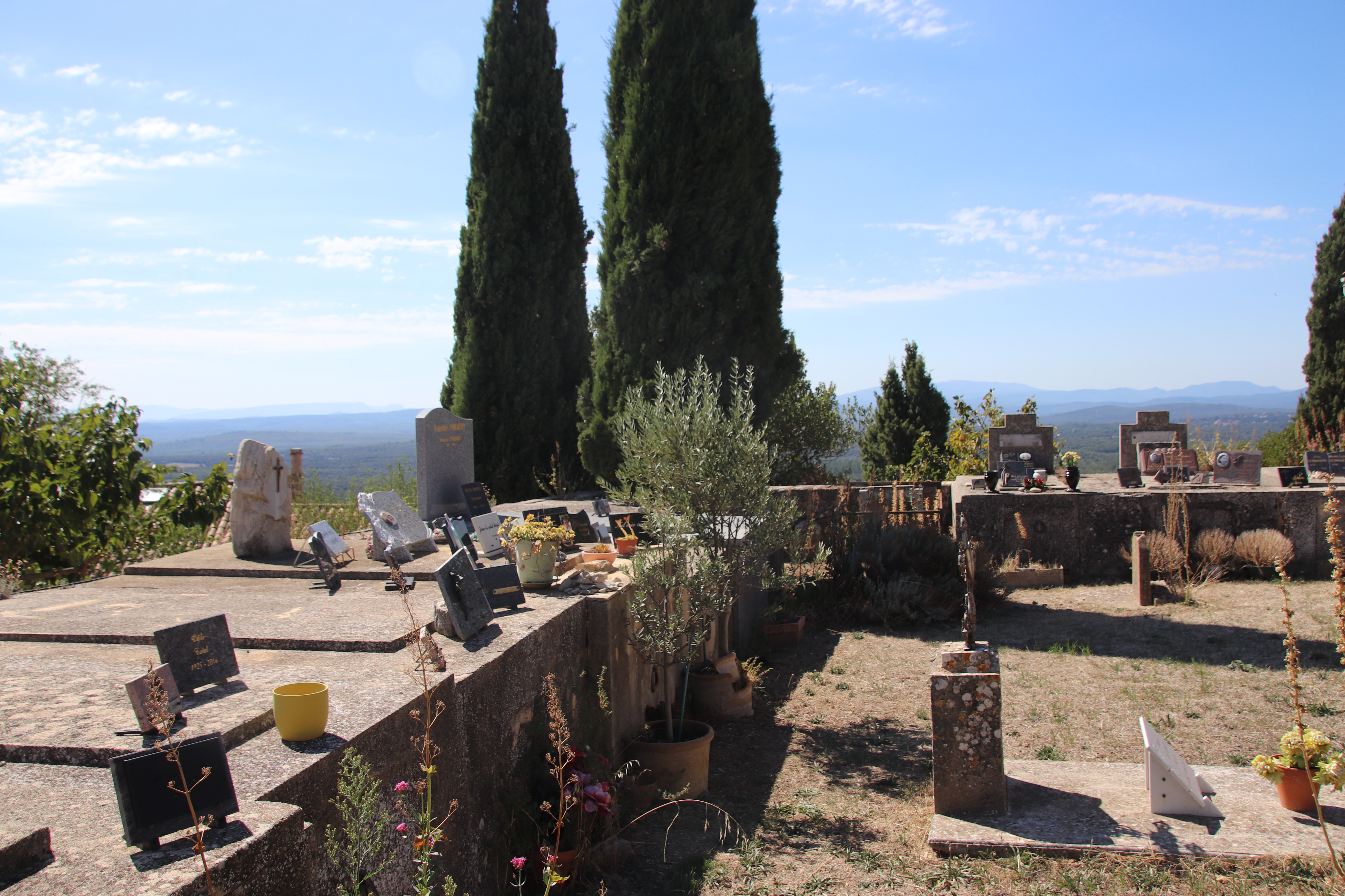
Outside, the graveyard could be a scene from some horror movie. Set within an ancient stone wall, dusty family crypts, rusting metal-worked crucifixes, centuries-old stones decorated with details of loved ones & the occasional faded photo, a stack of ancient headstones that have lost ownership to any particular piece of ground, & a plaque remembering all those who fell in the Great War (the names of every young man who lived in the village at the time must be written here); all could easily reveal ancient relatives in some ghoulish enactment of past lives.
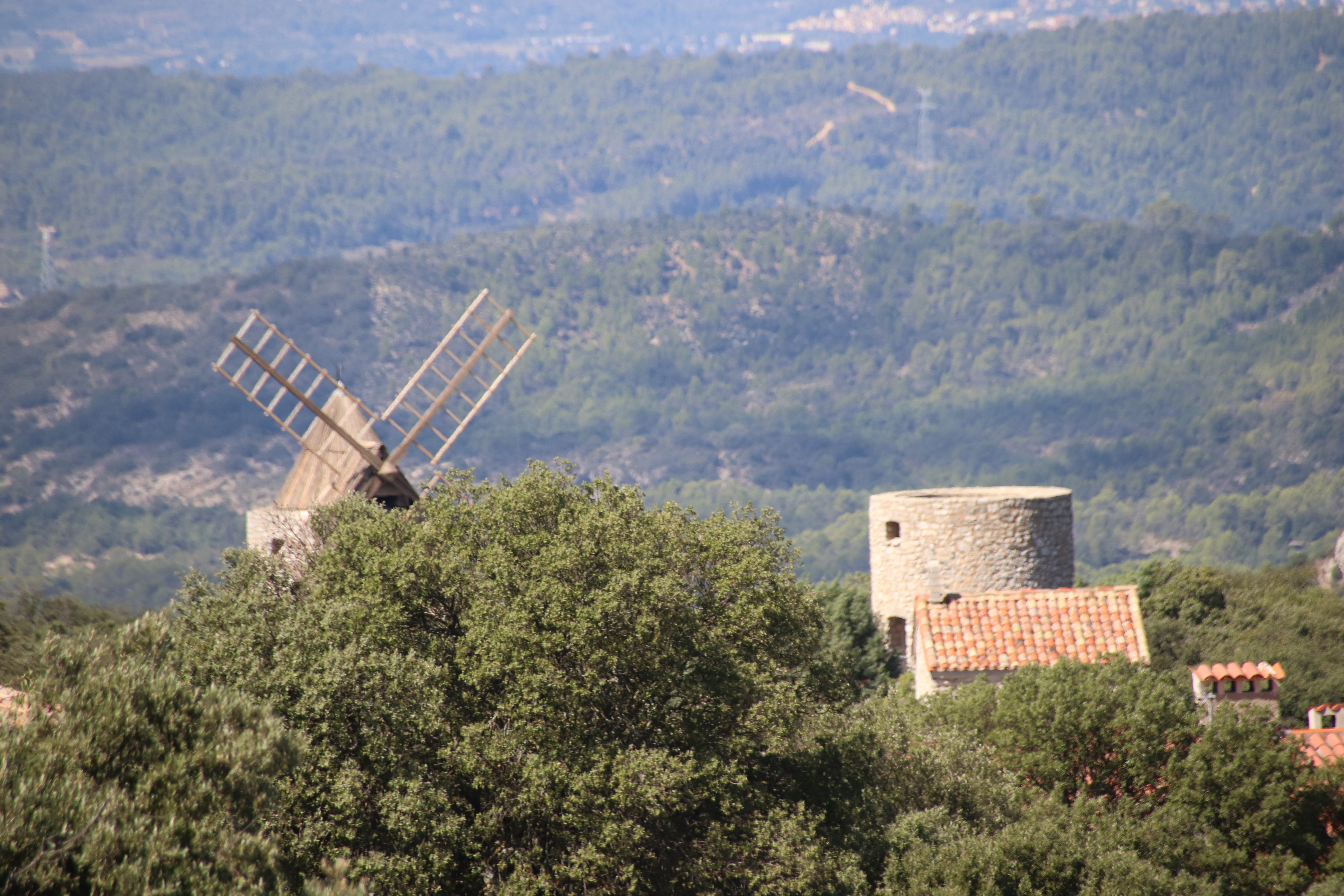
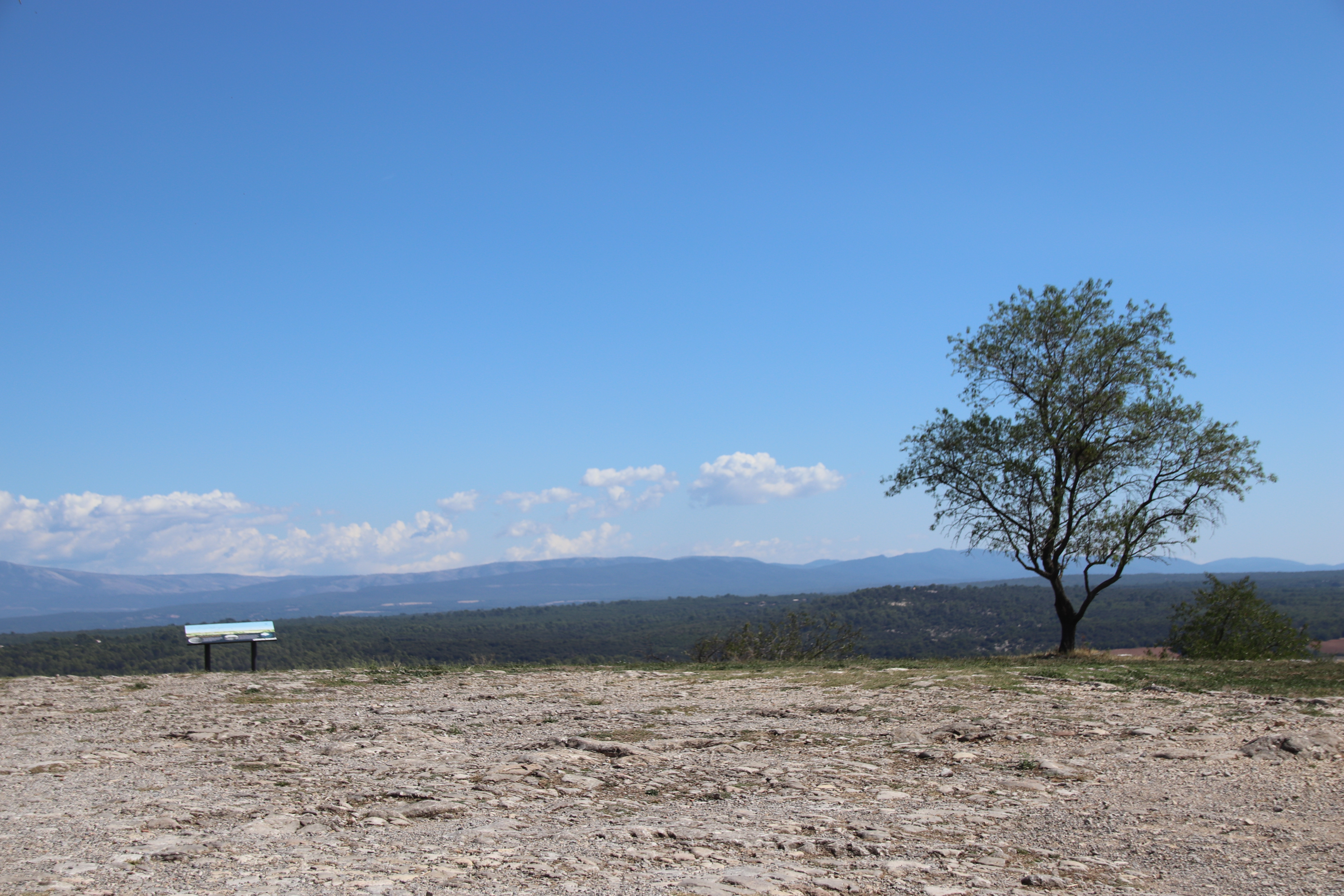
Across to the edge of the flat limestone plateau, a single tree & a map stand set a watch over the distant ridges of the Verdon. More detail can be seen from the top of the water tower. These also include tops of hamlets windmill & another smaller chapel.
So, you pays your money & takes your choice. Me – I’ll take both. Together, they complete the wonderful picture of Provence.
Delving deep into the Luberon

The Luberon is a massive, mountain massif in central Provence, famous for historic hilltop villages, lavender fields and bountiful vineyards. The River Durance flows along the edge and it is an easy drive into this low limestone mountain range that stretches for 60 km from west to east, reaching a maximum elevation of 1,256 metres. It is recognised for its rich diversity & striking landscapes. The region is famous for the production of wine, of course, olive oil, cherries, truffles, & lavender. Every hilltop seems to have an iconic, medieval, cliffside settlement perched on the top, almost beckoning the visitor in.

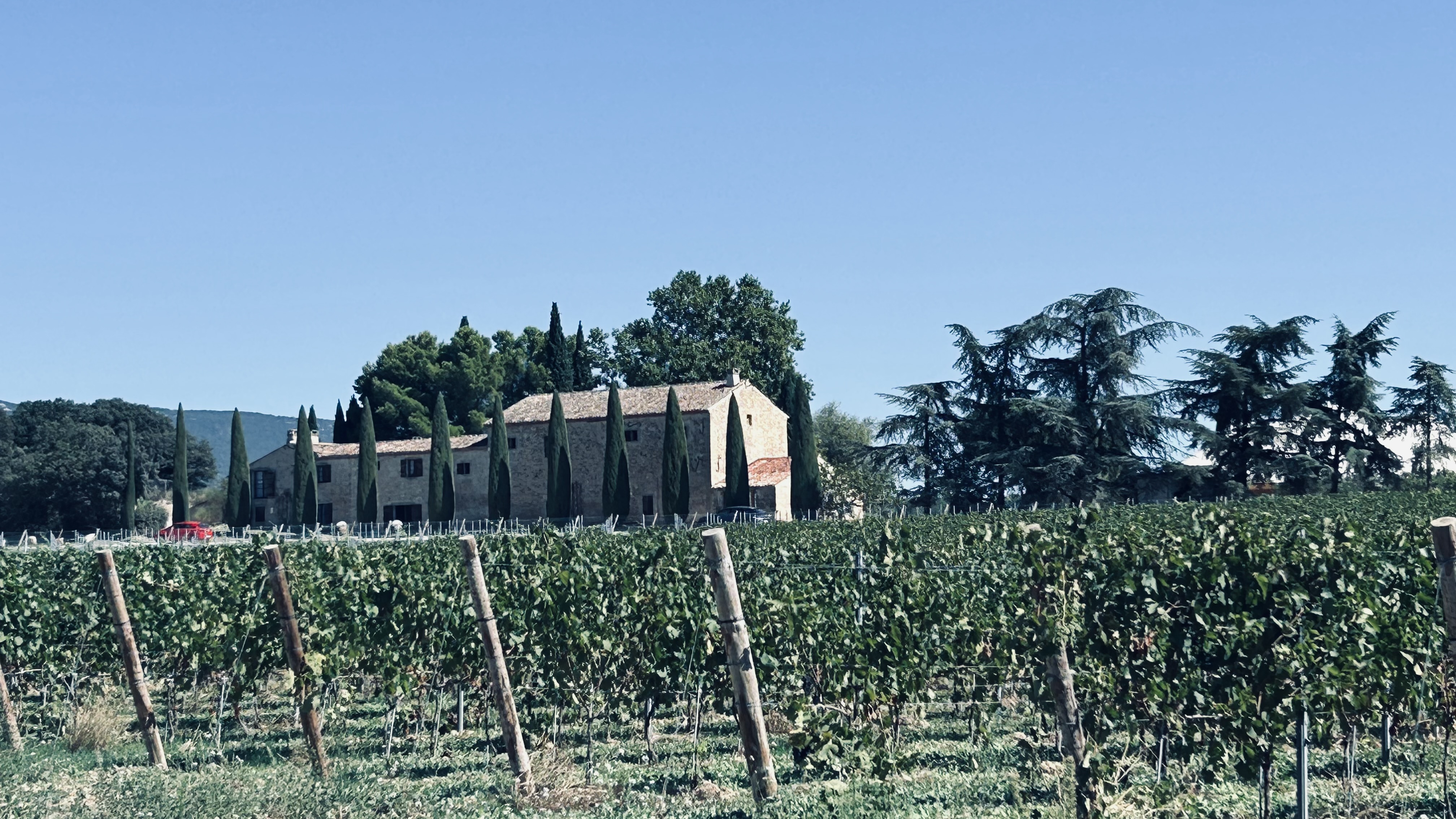
Over several days we explored this picturesque area, gasping at the mountain layers, appreciating the thrills of mountain road climbing & the adrenaline-induced, motorised spirals of valleys & ravines. We sampled the typical Provençal settlements, falling in love with some, feeling the atmosphere, absorbing the feel of ancient stones. We felt the history as we passed large mixed forests, harvested farmland, rows of vines & olives with barns & huts in various states of ruin or readiness, preparing for this year’s harvest. Vast, wine estates, their pristine, stoned production facilities & barrel cellars reflecting the gold Provençal sun & guarded by pillars of dark green Cypress, seem overly prepared with crates lined out over the ground at the head of each line of vines & large amounts of machinery waiting in the wings.

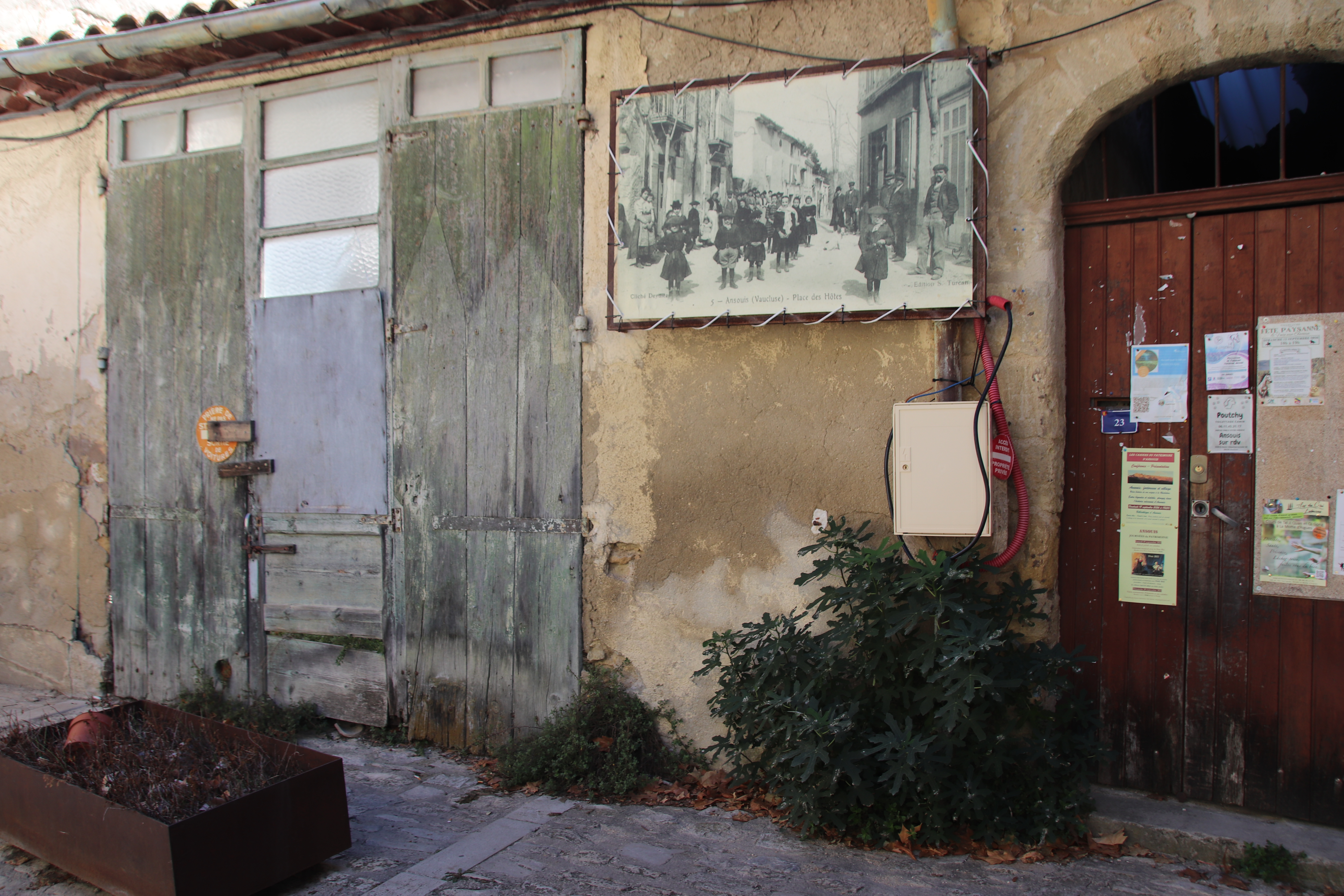
The historic hilltop village of Ansouis is the first on our list, one reason being the presence of a weekly market – always up for a market! The village is typically Provençal, perched on a rocky hill around an ancient church & a majestic chateau. The latter was originally built in the 9th century and is still inhabited. Many of these medieval buildings house galleries & studios & exhibitions, even concerts & operas.

Having climbed the short walk up to the centre, we established the market was over the peak & down the far side at the bottom of the hill. Remembering we had to walk back up the hill, we trudged down to find three stalls selling meat, fruit/veg & cheese – just not worth the effort,

A few km further on lies Cucuron, another really attractive, quiet medieval town. Giant, 200-year-old plane trees surround The Bassin, a large rectangular pond within the centre of the Main square, & provide shade for village activities, the weekly Tuesday market & the many outdoor cafes that lie around the edge.

Within the walls of the Old Town, narrow, stone-paved streets wind up to the church and an old castle. Dotted amongst the shuttered cottages that line the narrow cobbles are small, individual cafes & restaurants and craft shops & quality boutiques.

It is a ideal place to wander & absorb that Provençal atmosphere.

Apt is an important town for the region. Founded by the Romans it boasts several authentic ruins, As always, the Old Town consists of narrow, shady, medieval streets, public squares & historic fountains to cool us all down.

Three Regions in one day

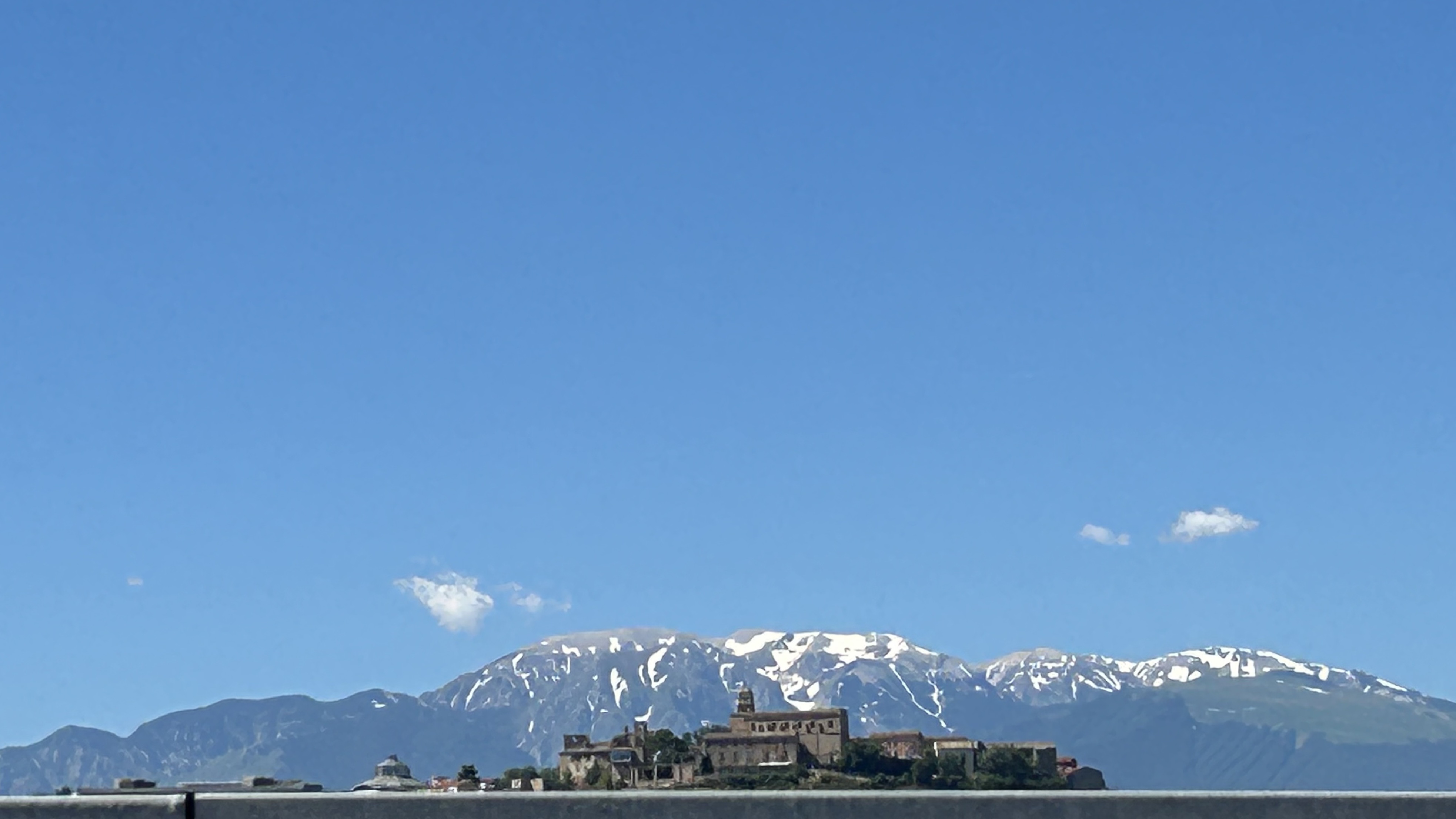
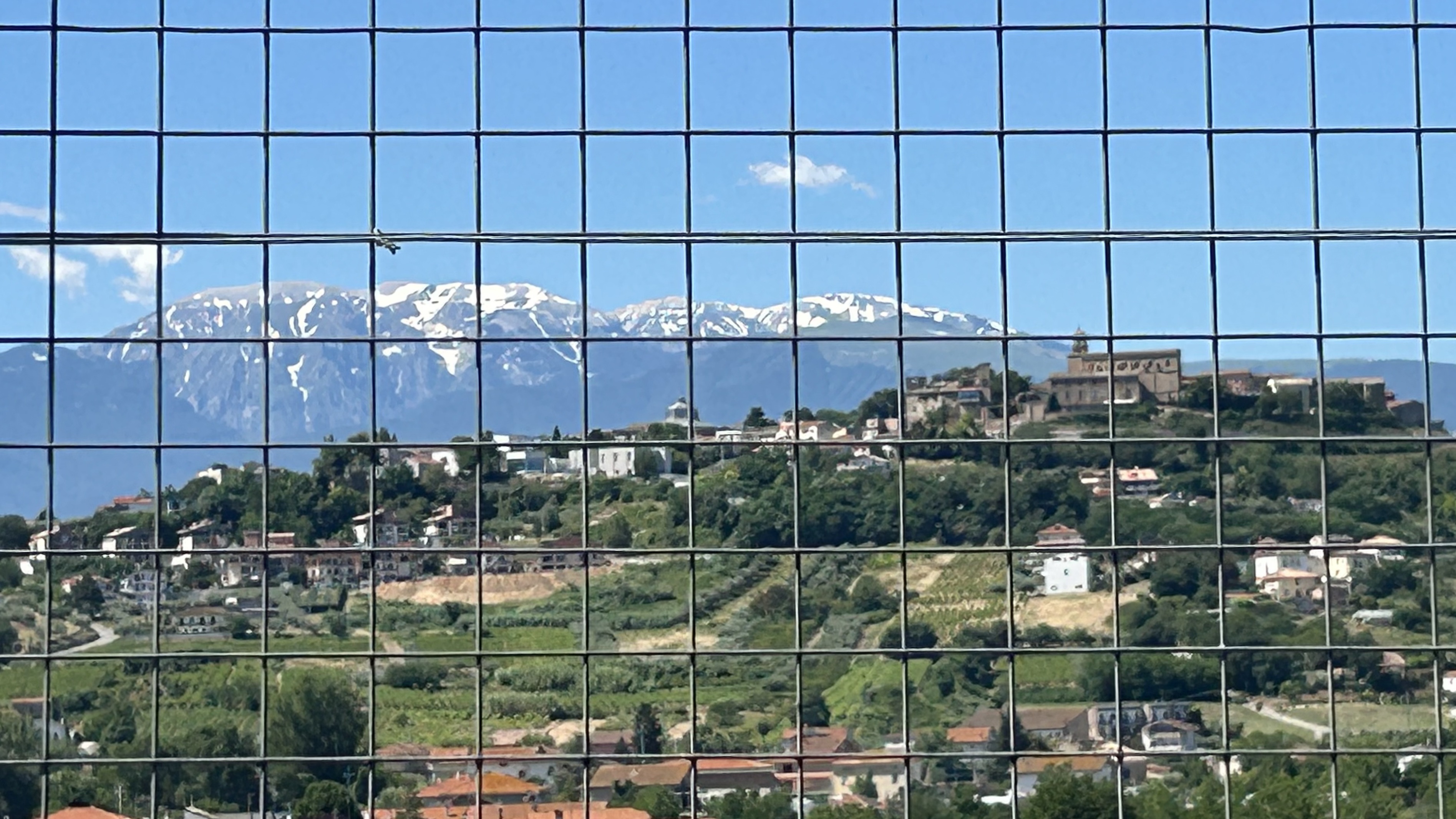
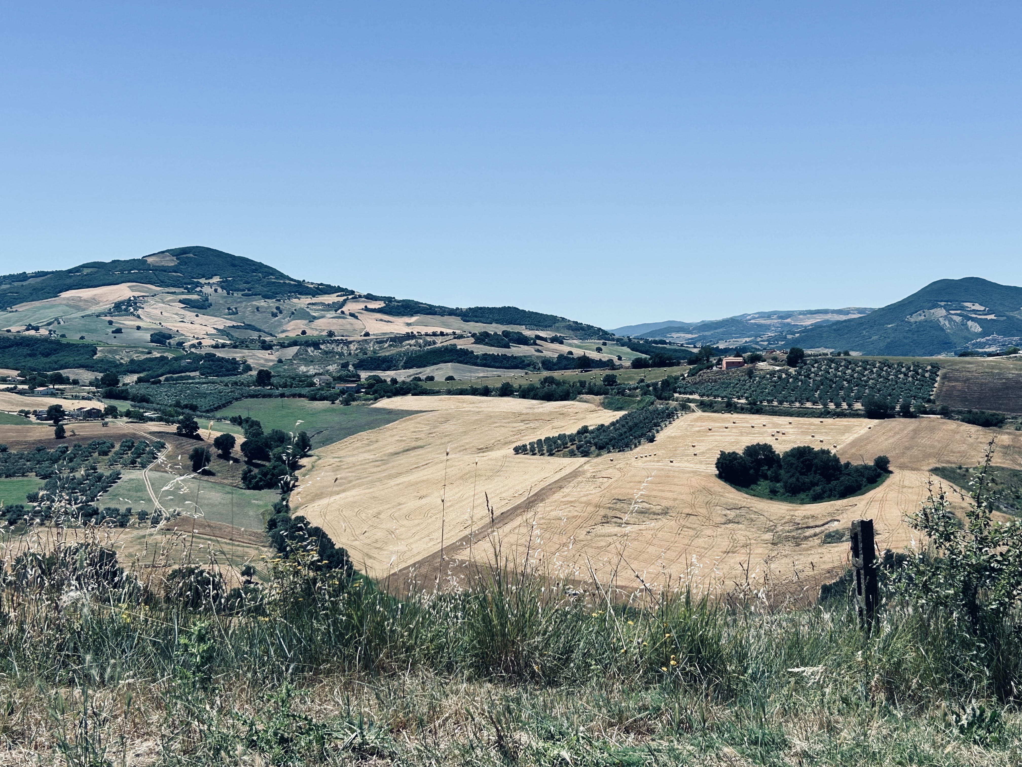
Heading south from Citta Sant’Angelo, through Ambruzzo’s rolling hills with snow-flashed mountains in the distance, it is easy to forget that this is a region of honest, hardworking people who work their land to produce food to generate an income. Throughout history they have left their mark on the landscape in a mosaic of colours & shapes. Tans & pale yellows of fields that have relinquished their crops of oats & wheat, contrast with others where farmers have ploughed back any goodness to reveal clumped lines of bare-browned earth. The tinted greens of vineyards combine with scattered olive groves to add a further dimension to the view, along with the occasional wooded valley & stoned, hilltop settlement.

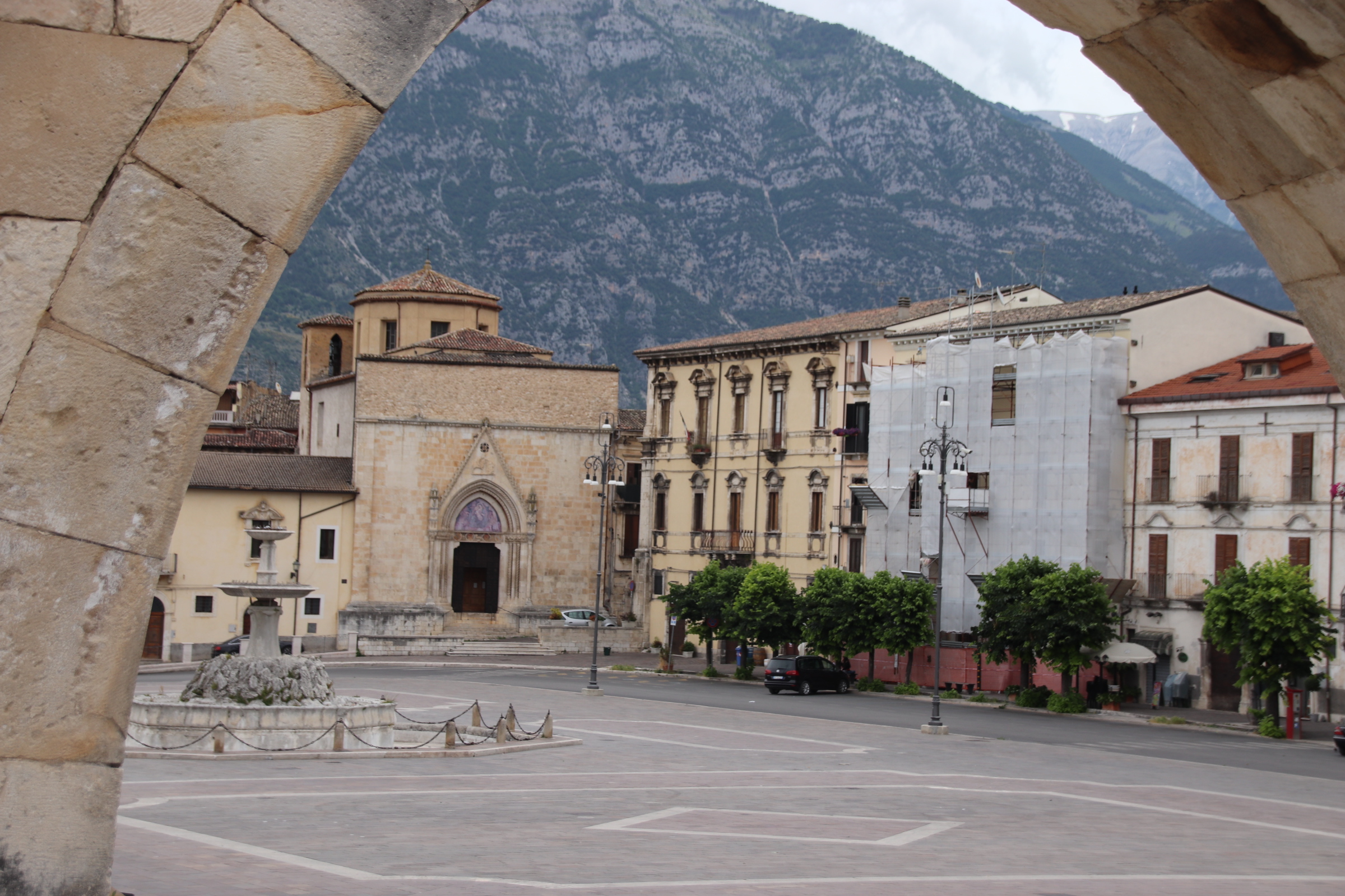
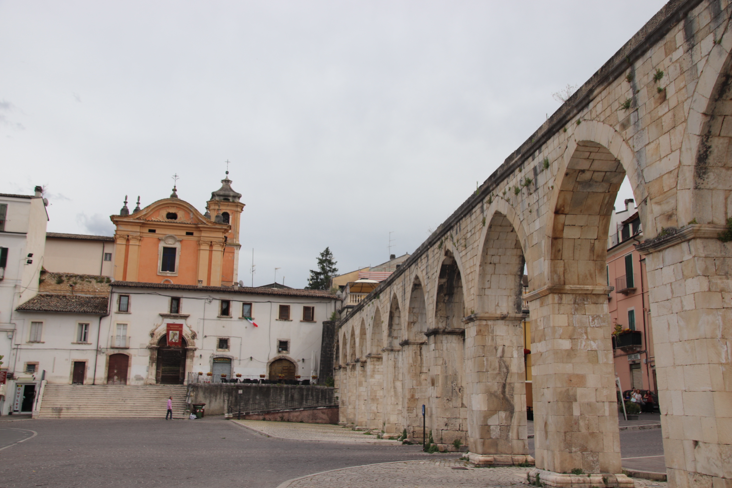
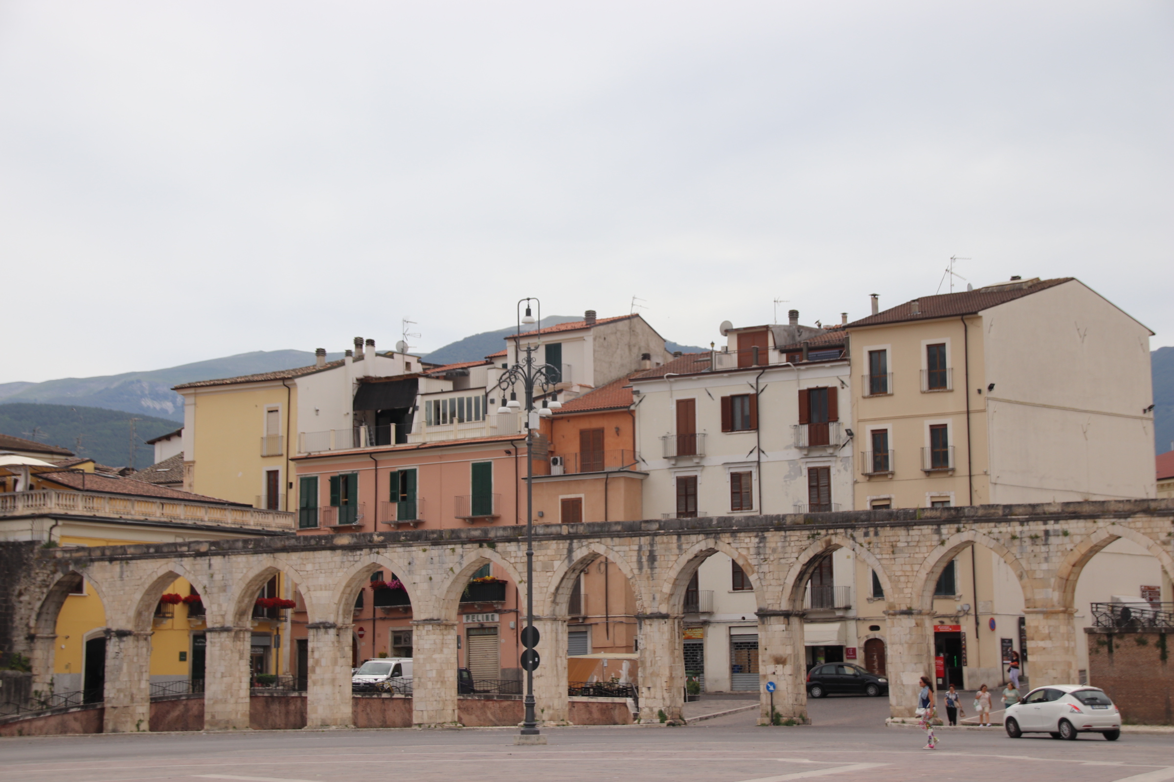
Sulmona is a brief respite, happy to show off its vast piazza where, throughout July, the town’s neighbourhood’s march off against each in flag-throwing competitions. As if this was not enough, the square is lined with ancient churches, a duomo, medieval buildings, an aqueduct & a crescent of stone steps that leads up to even more historic delights. These include several producers of candy-covered ‘confetti’. It is an Italian custom to present guests at weddings, birthday & communion celebrations & anniversaries a small box containing these multi-coloured favours.

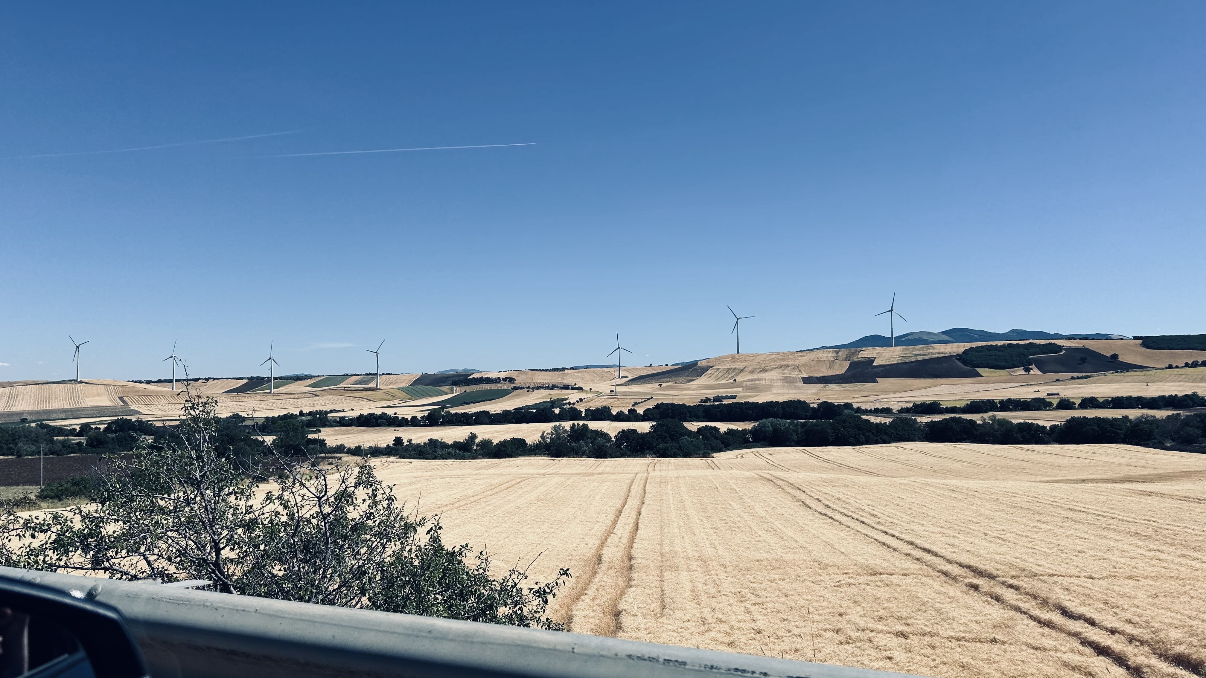
Molise is a small region further to the south. Here the landscape begins to change with more, larger fields of oats & wheat & fewer lines of vines & scattered olive trees. The harvested land looks exhausted & fed up, cropped out & blasted by the sun. There are larger clumps of deciduous woodlands & even proper woods which gradually die out to be replaced by a flatter land of soft rolling hills.

Campobosso, the region’s capital, is situated on one of these. Having spent time in the historic centre, I’m going to rename it ‘Steep Stepped Basso’ ‘cause there are a lot of them laddering up to the top.

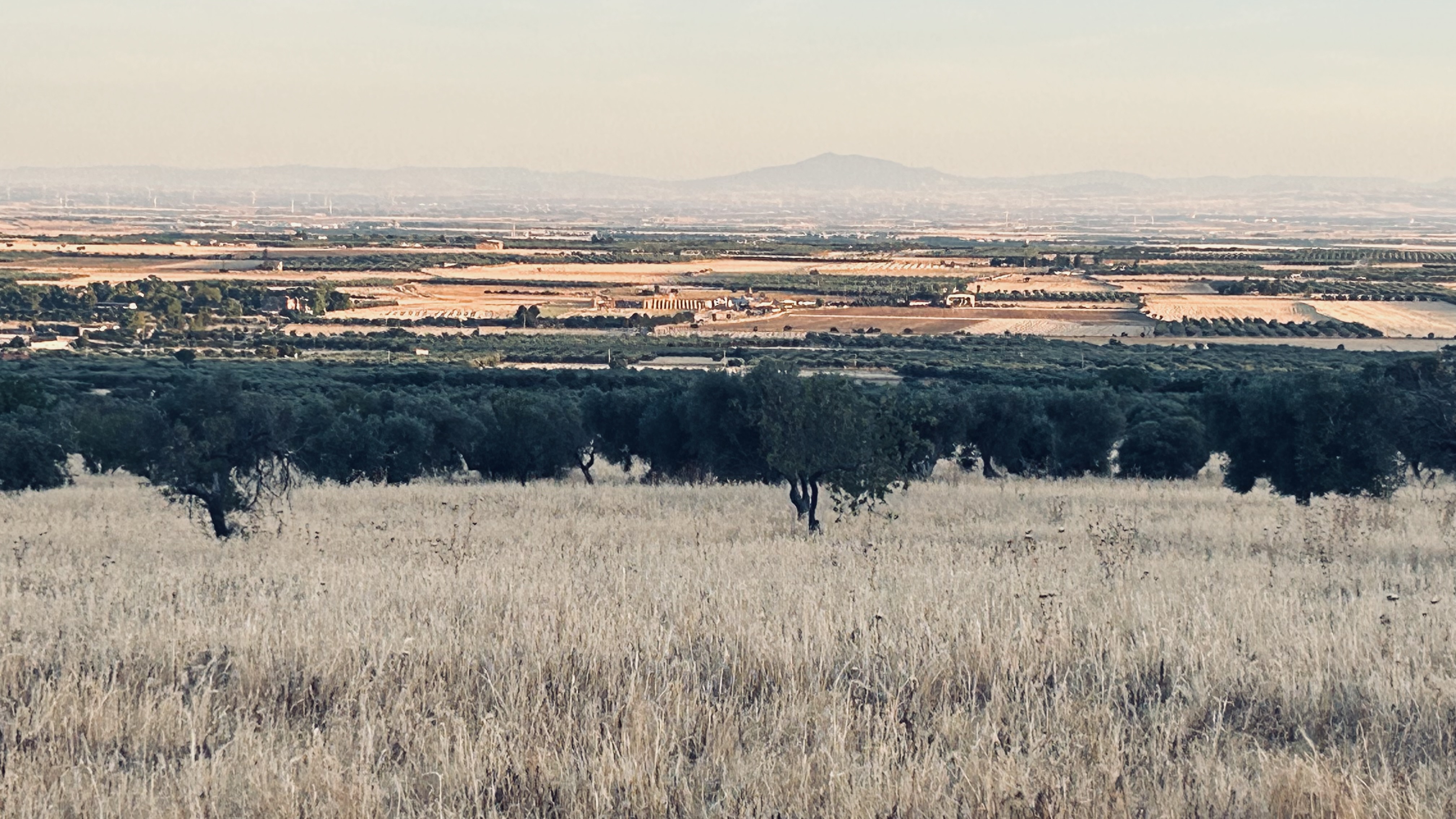
Once into Puglia, the landscape changes again. This must be the bread basket or ‘the pizza dough basket’ of Italy. Any hills have been squashed down onto a vast flat plain where oats & wheat are being combined into huge waiting trailers & enormous super-vehicles, raring to convoy them out to vast grain silos & on to mills & production areas.

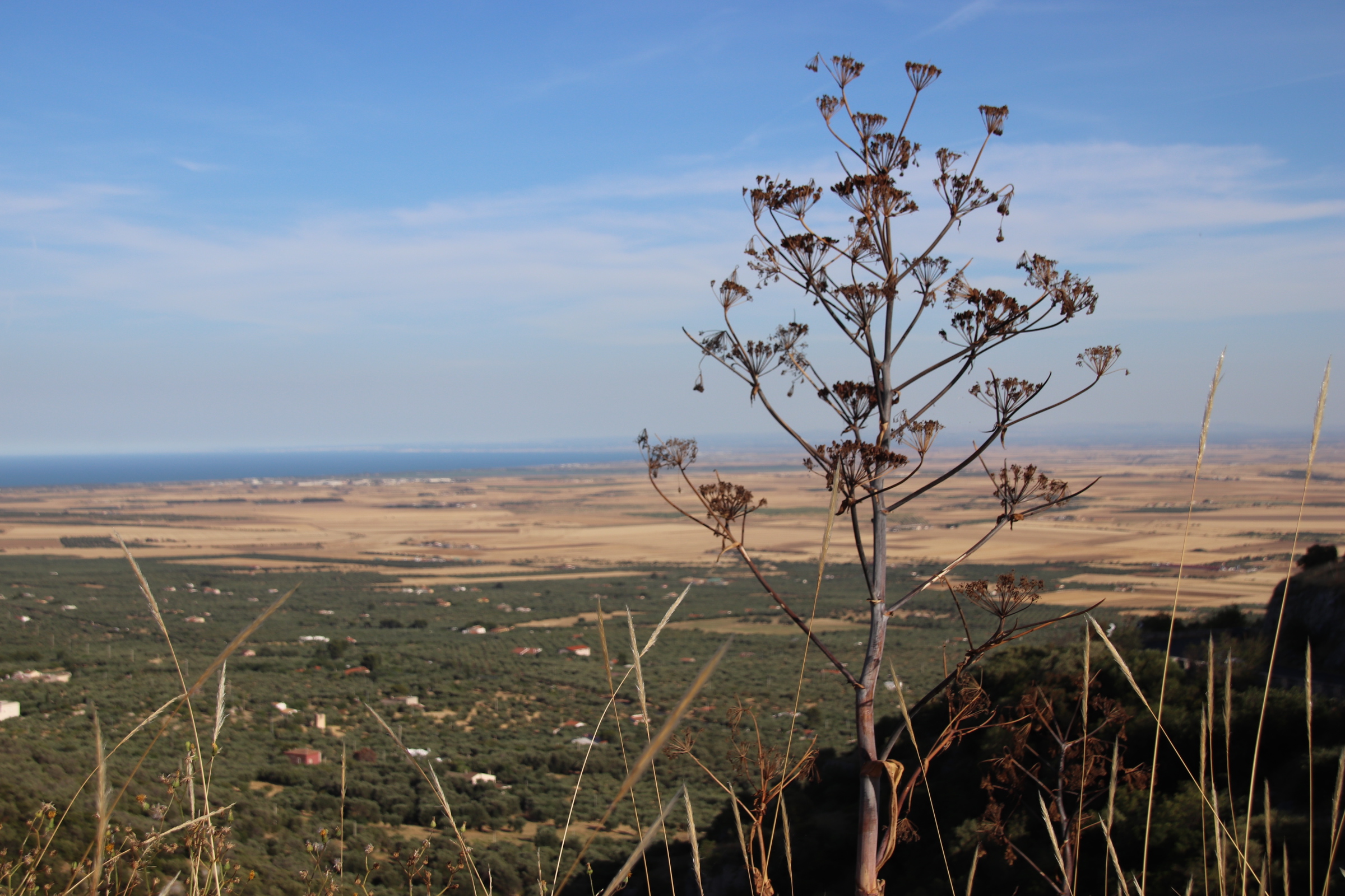
Across the flatness of the dusty plain, the land rises again. It’s as if a line has been drawn in the sand; the yellow, dusty plain comes to an abrupt end where regiments of ancient olive trees take over, standing to attention at the foot of, & up the slopes of, the hills that hide San Giovanni Rotonda & other settlements.

A day down the Trabocchi Coast

Penne marks the spot where we hit the Adriatic. Set back a few km from the sea, this is another ancient, hilltop village/town carrying the scars of the 2009 earthquake.

Once around Pescara, rebuilt following WWII, Ortona marks the start of the Trabocchi Coast. It was here in 1943, that Allied forces, working their way up through Italy, battled it out with Axis forces defending the Gustav Line that stretched across the width of Italy. In the resulting attack by Canadian troops, the town was obliterated so that all you see today, from the duomo to the tall, blocks of apartments, is a reconstruction of this historical port.

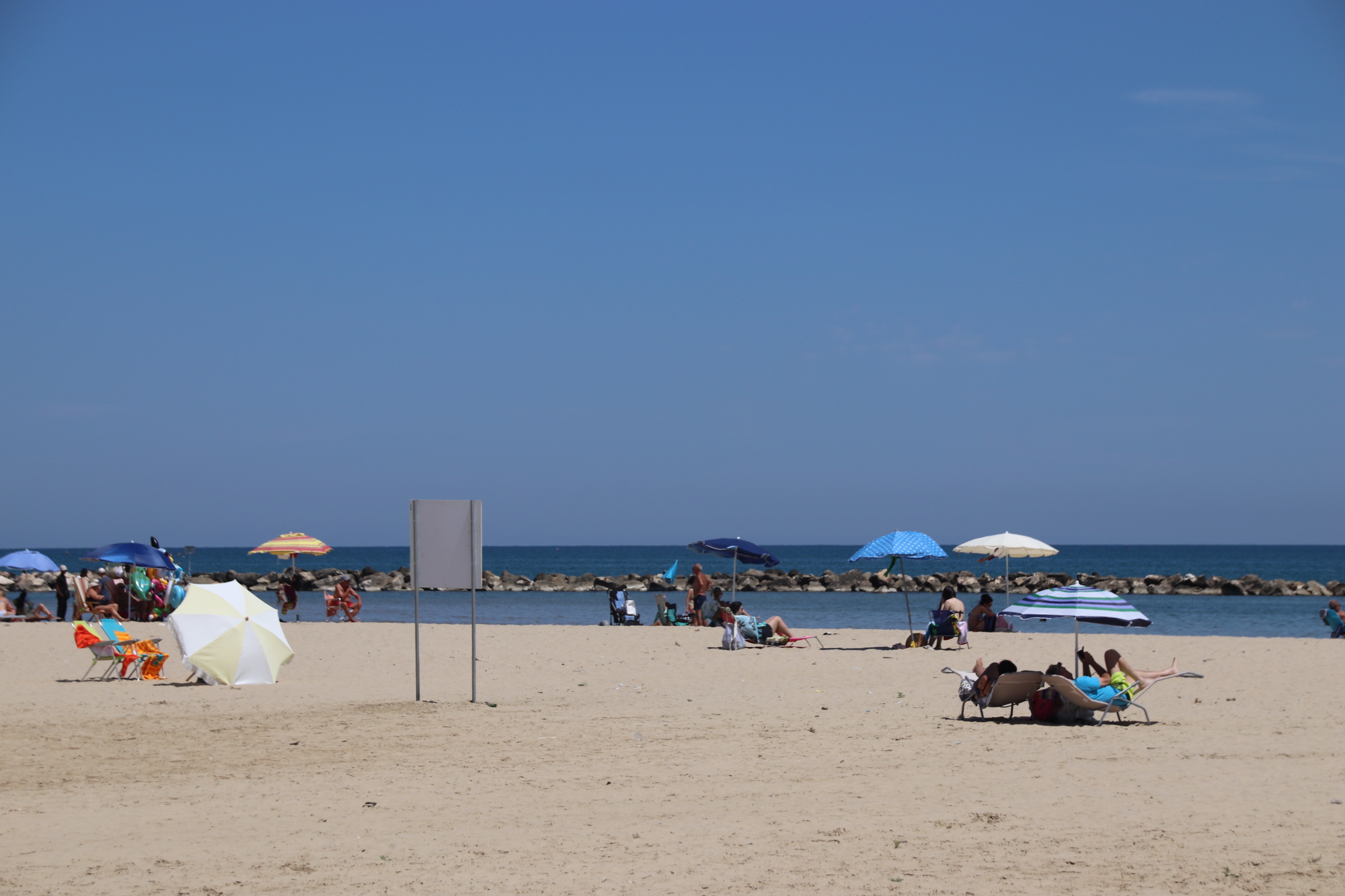
On the outskirts, the road hugs the coast with the railway, the main road & the dual carriageways way running through rich farmland of harvested oats, ancient olive groves & tall, trellises of grasping vines. Beach clubs, bathing areas, & mediocre holiday accommodation & assorted bars & cafes are evidence of the tourist holiday season.

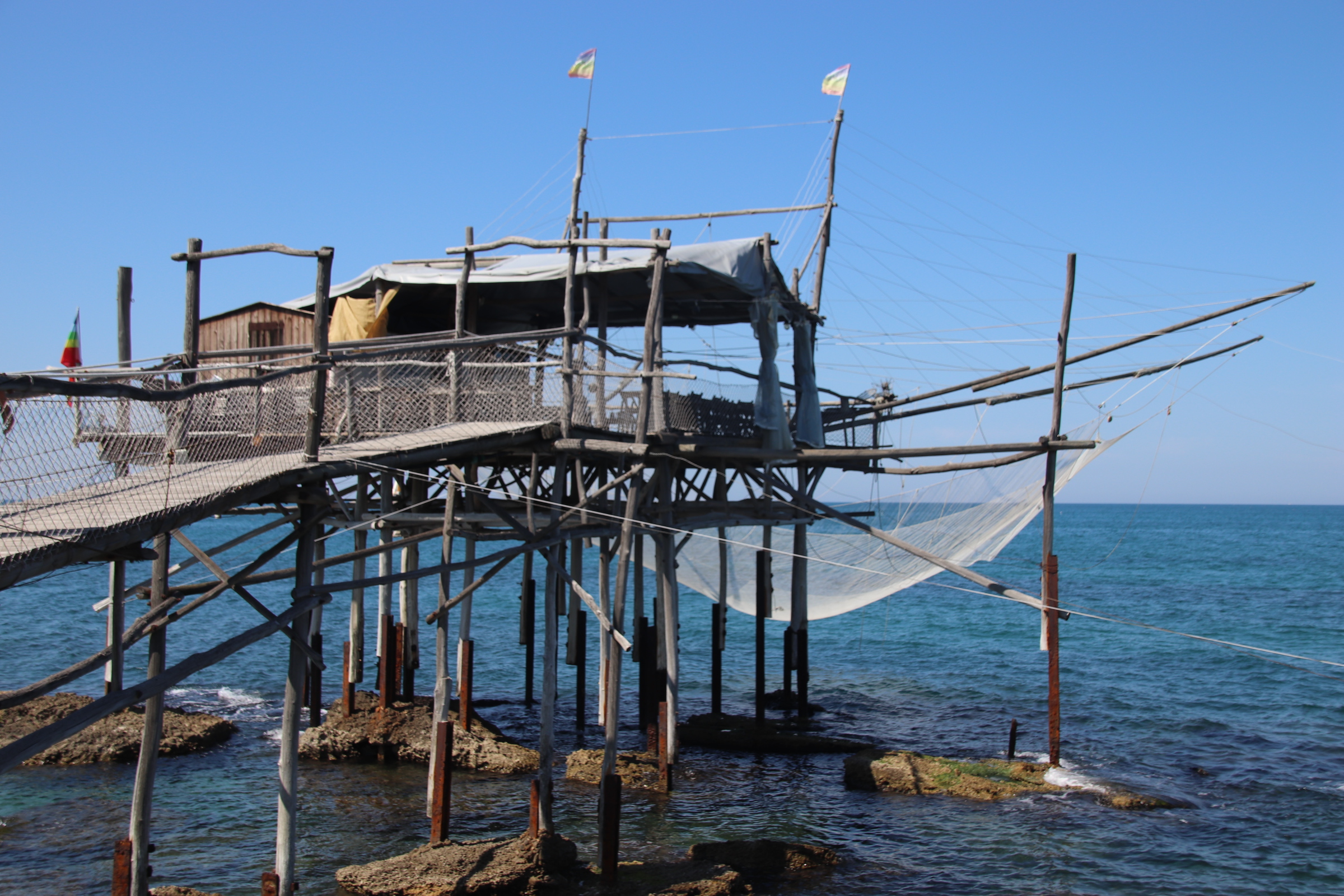
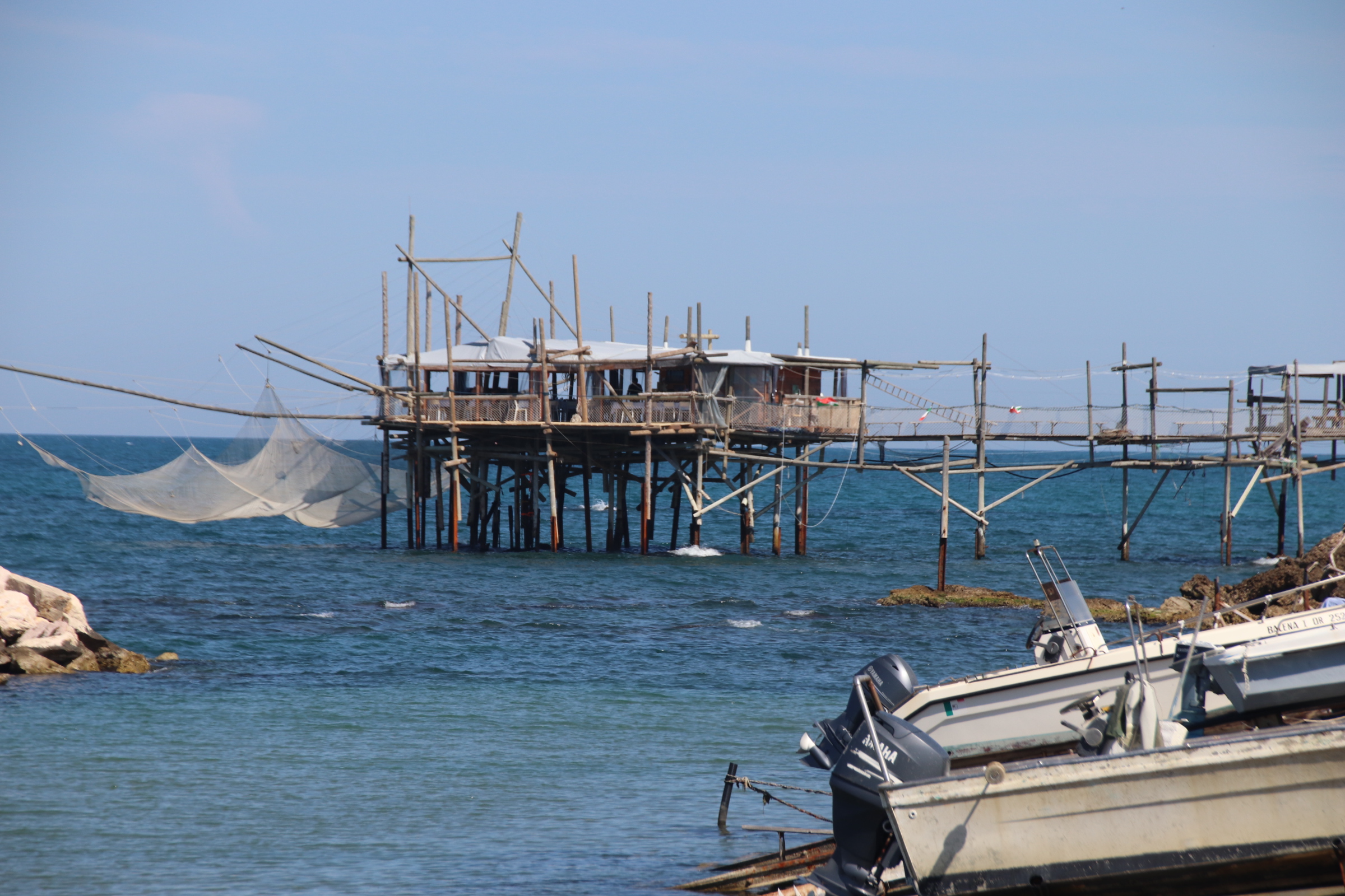
The only saving grace is the Trabocchi that line this part of the coast. These are ancient fishing machines, set on stilts and attached to the land by long walkways. Antennae hold up a huge net which is winched down to the water and then back up, with the catch held within it.

It is unclear how they originated but one theory is that the local farmers built them to bring in & take out produce & equipment. When times got hard, they used these structures & nets to catch fish to supplement their land income. Many have now been converted into restaurants but these tend to be rather expensive tourist traps. We ate at one on terra firma – cuttlefish & chilli starter, grilled anchovies, seabream, clams & octopus spaghetti…oh yes!! Top of the world.

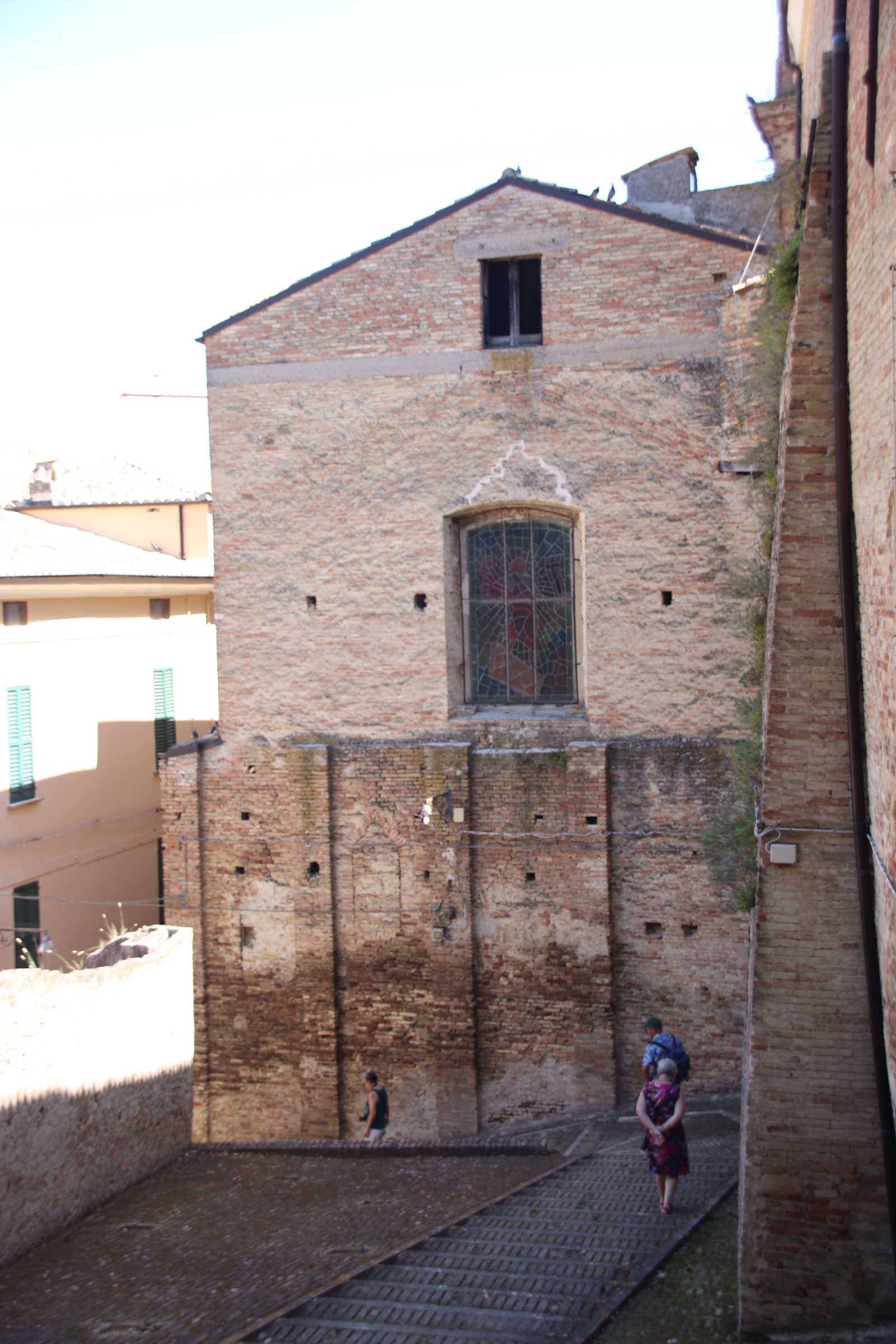
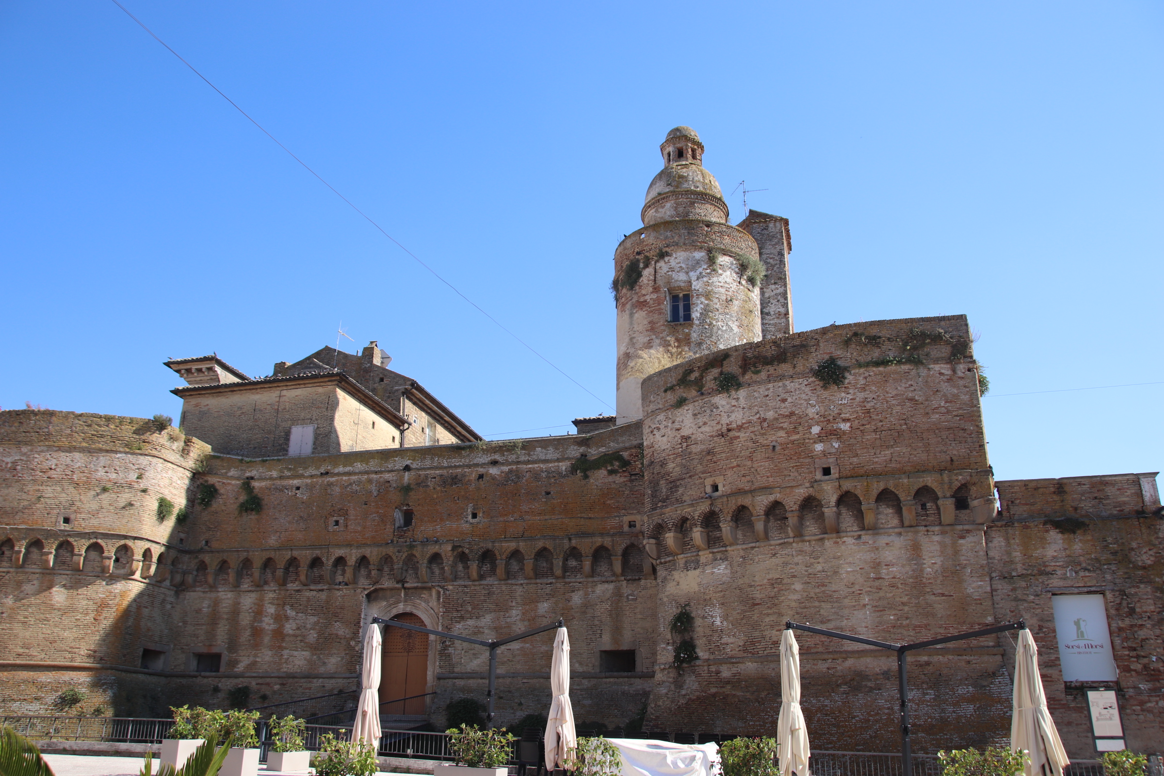
Our journey finishes at Vasto, a charming, historic town with loads of character & little evidence of earthquake or war damage. The duomo, palaces, castles, piazzas all have ancient origins. One small church down on the cliffs, has just one wall holding on to solid ground after the rest slid into the sea during a landslide in 1956.

The land of a thousand cranes

Two places on the journey over are worth particular mention. In line with most settlements in the area, they were both affected by the terrible earthquake of 2009. L’Aquila was at the epicentre. 35 to 37 thousand people were made homeless & over 100,000 buildings destroyed. 309 people died, many children, & there were over 1500 casualties when the ‘quake hit in the early hours of the 6th April.

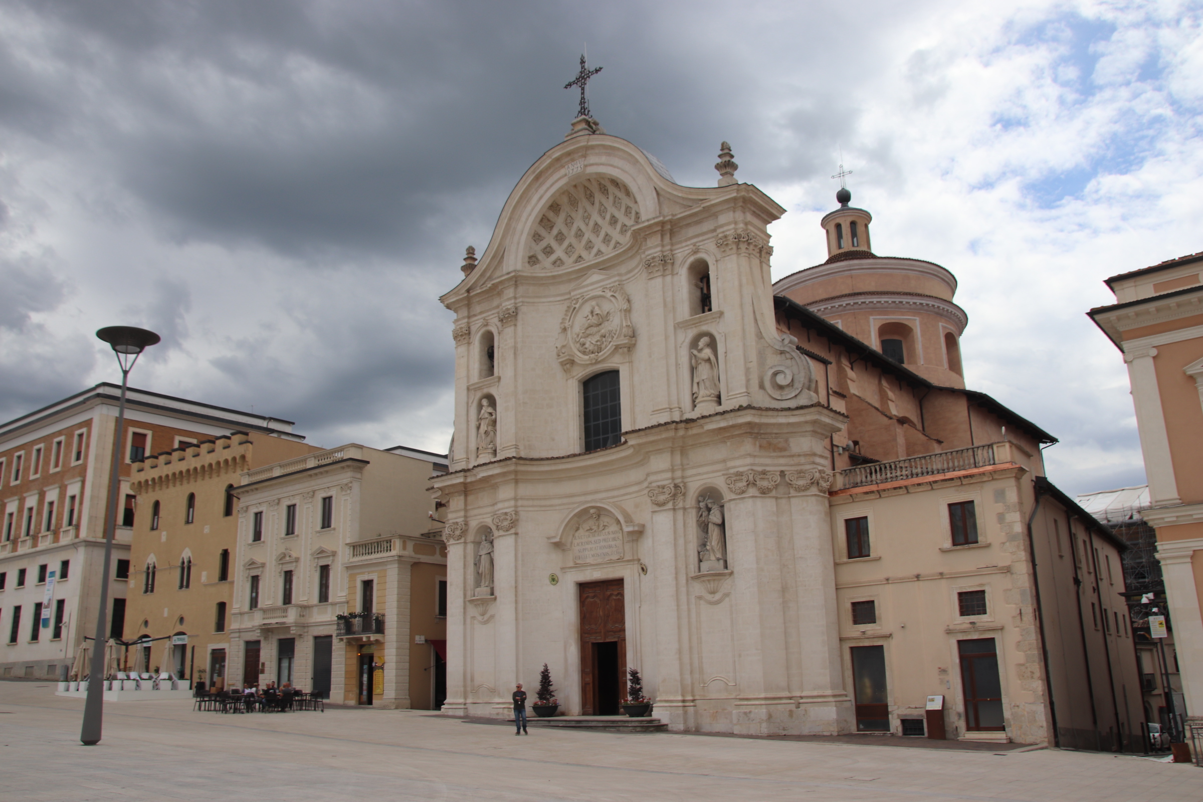
Today, there remains ample if evidence of this night. High cranes still dominate the skyline, giant preying mantises overhang scaffolded medieval buildings, Some appear pristine with freshly painted plaster coating reconstructed facades to the public, especially around the newly laid Piazza di Duomo, & others like the cathedral itself are just an empty shell of destruction.

Despite the renovation of many, much still remains to be done with hundreds of ancient buildings held up by stout timbers or thick, metal frames. Despite this, or maybe because of it, L’Aquila remains a fascination place to visit.

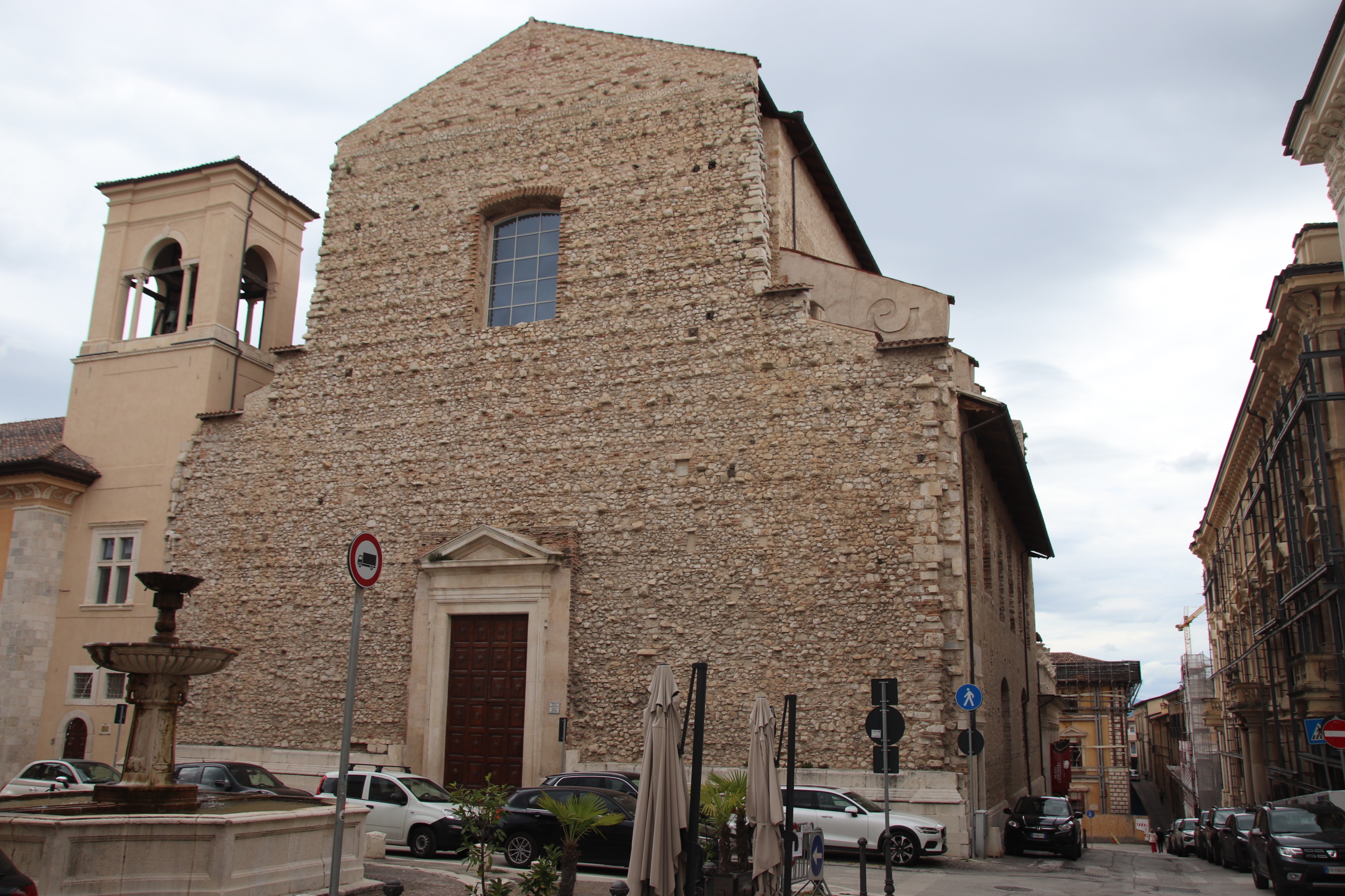
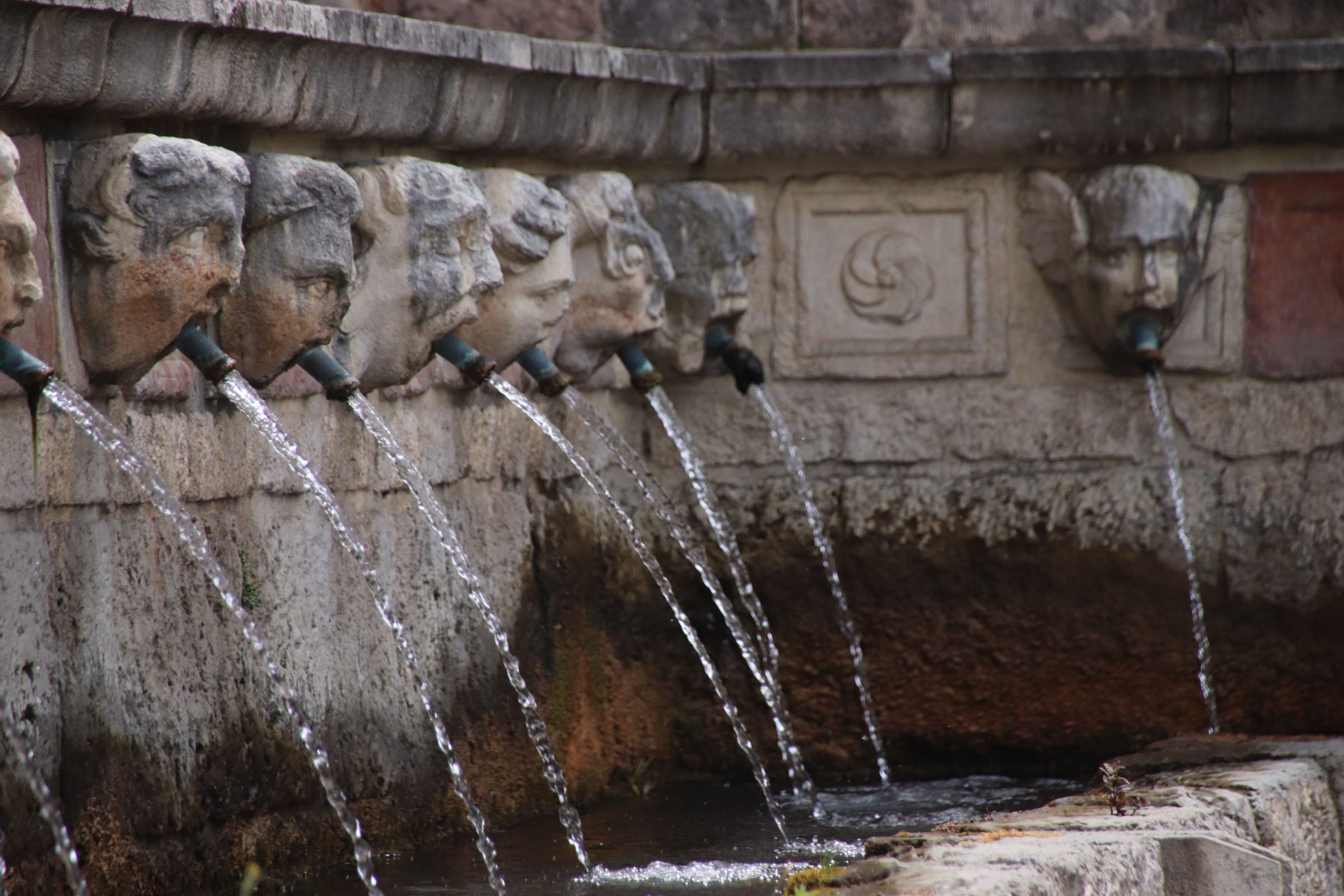
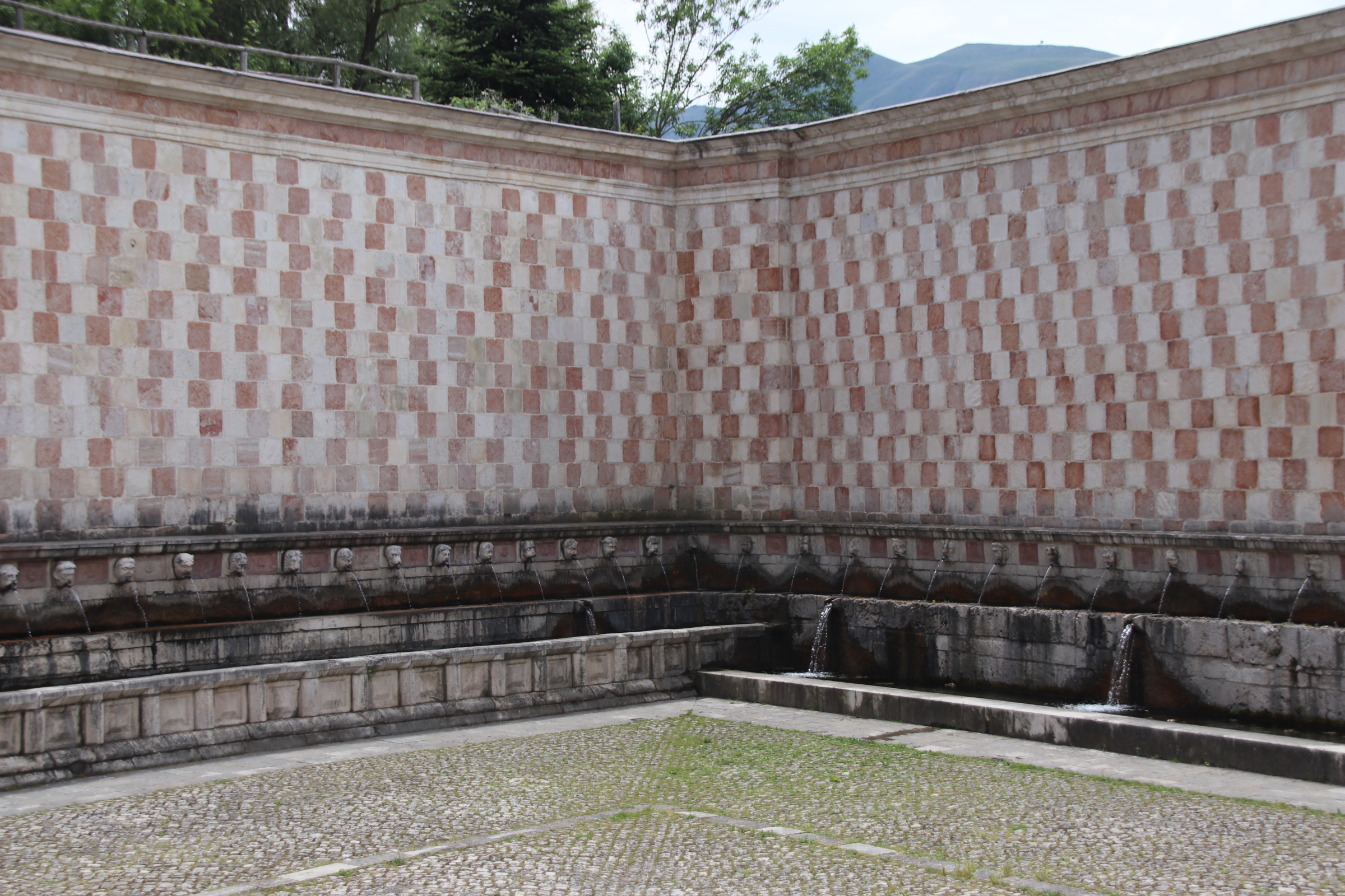
An important medieval town, within ancient walls, it has been an important centre for hundreds of years & is now the capital of the region. The Fountain of 99 Spouts, built in the 13th century, represented the number of powerful houses & estates in the area at the time.

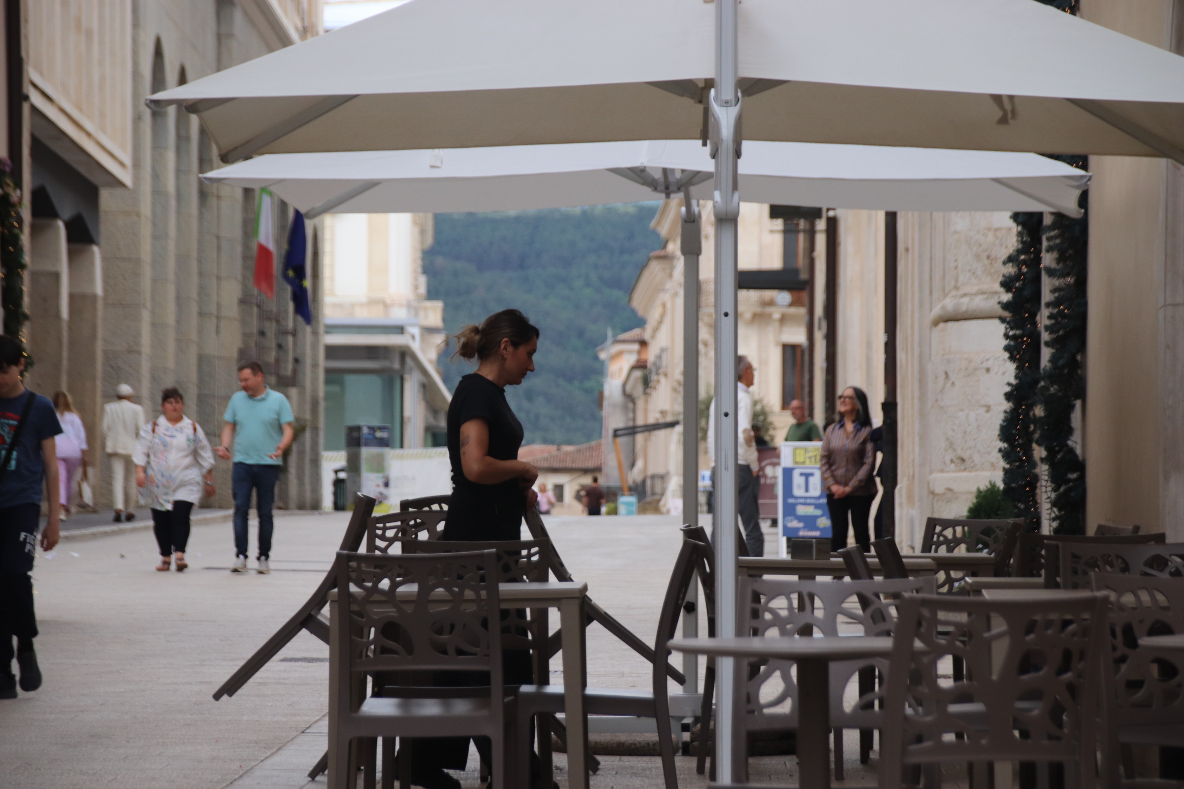
It was chosen as the 2026 Centre of Culture in recognition of its cultural & historical importance. A university town, it has an exciting buzz to it after dark. With piazzas & streets echoing with laughter & conversation.
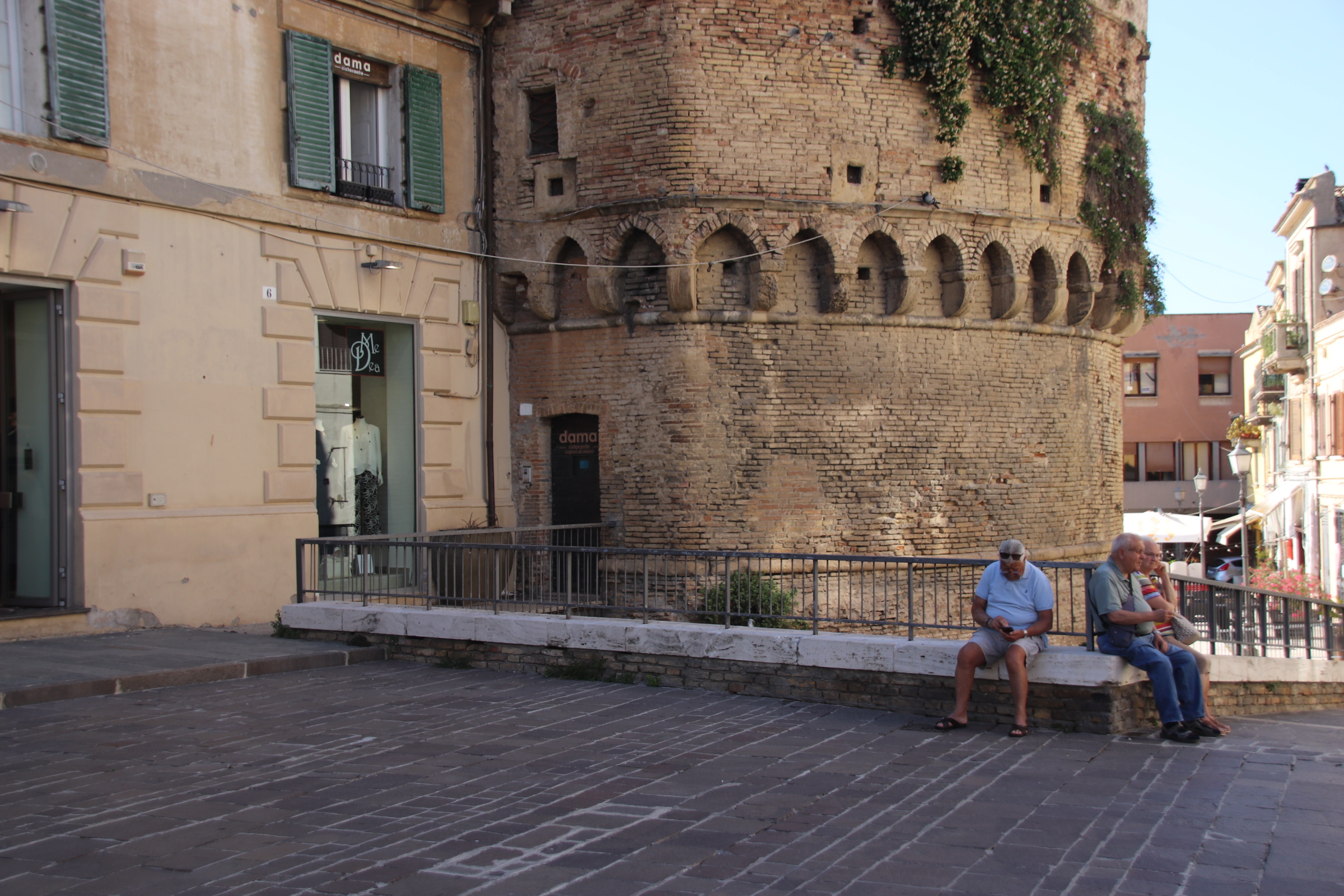
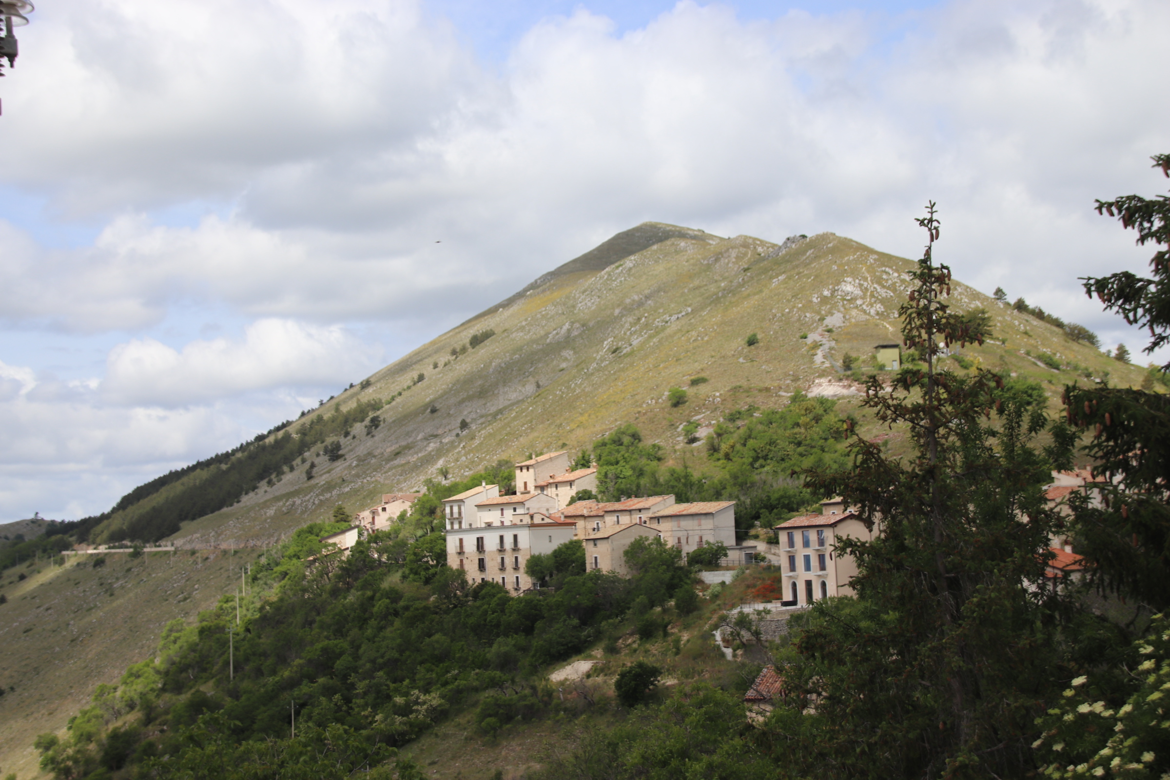
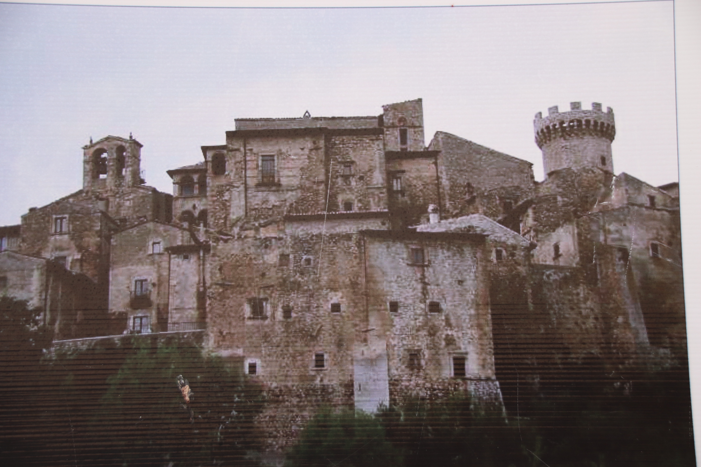
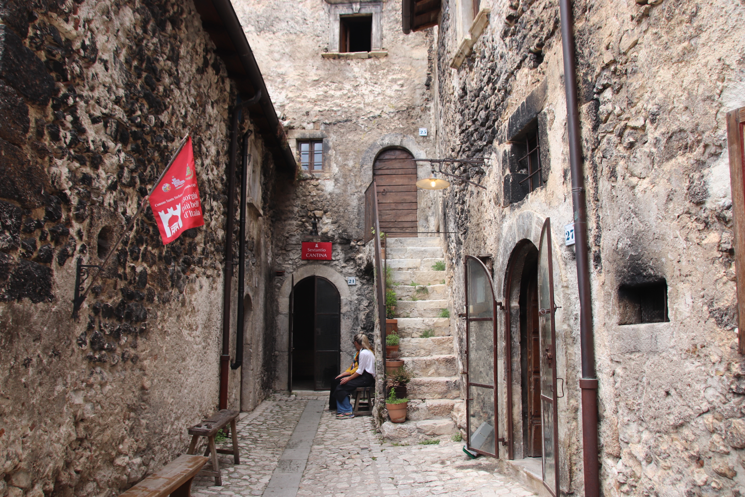
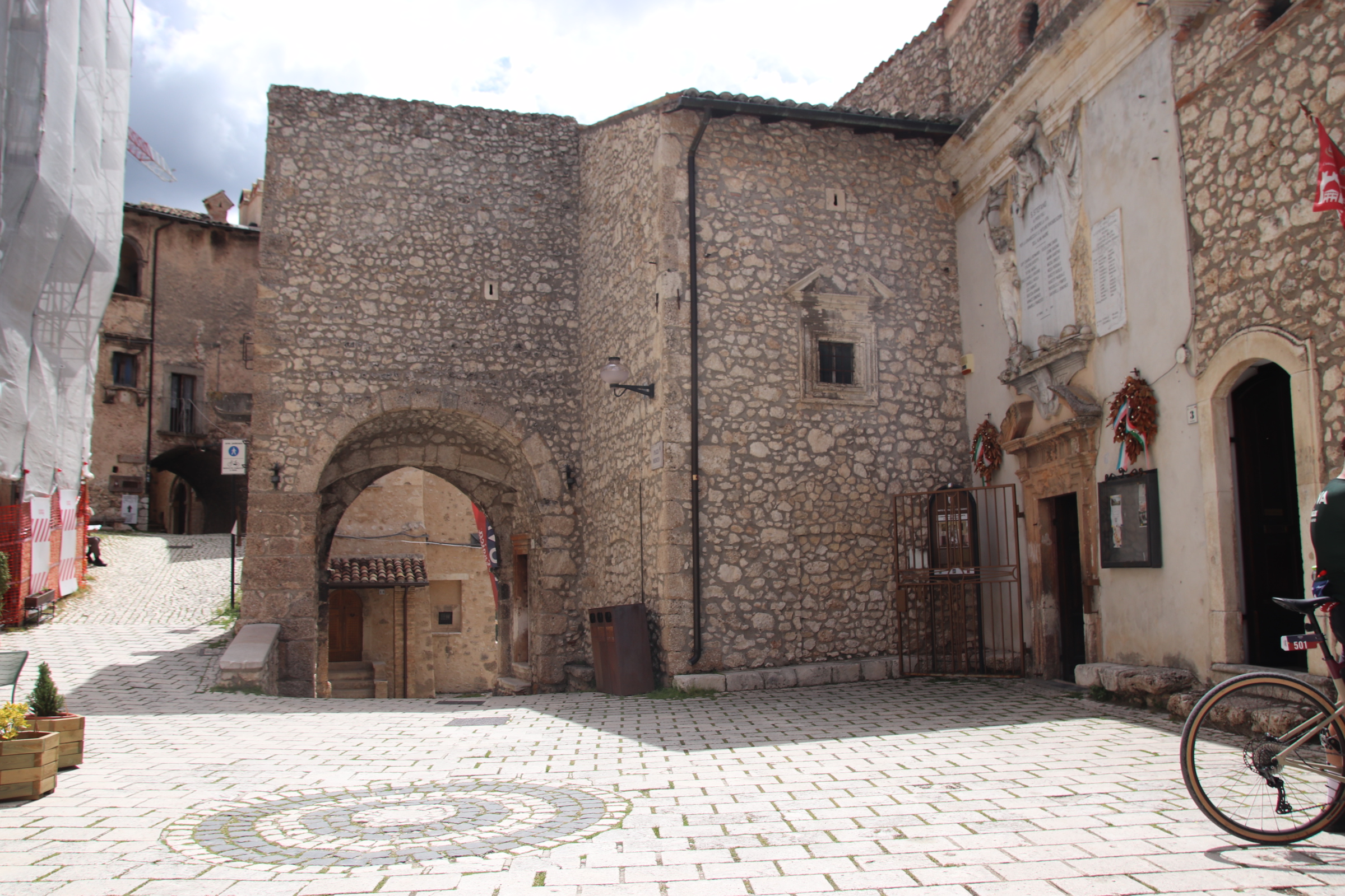
Santo Stefano di Sessanio is like chalk to L’Aquila’s cheese. A tiny village clinging to the crags & qcliffs of the Grand Sasso d’Italia, it is ancient in every respect but for the yellow framework of tall cranes performing similar work on devastated buildings. Nevertheless, it’s narrow, cobbled alleyways, scratching darkened routes around ancient stones, studded doorways & shuttered windows, give it a real medieval feel. Everything is in miniature, from the church to the café, from the tiny, dark gift shops to the small grocers & verandered restaurant. A special place with a special, timeless feel.

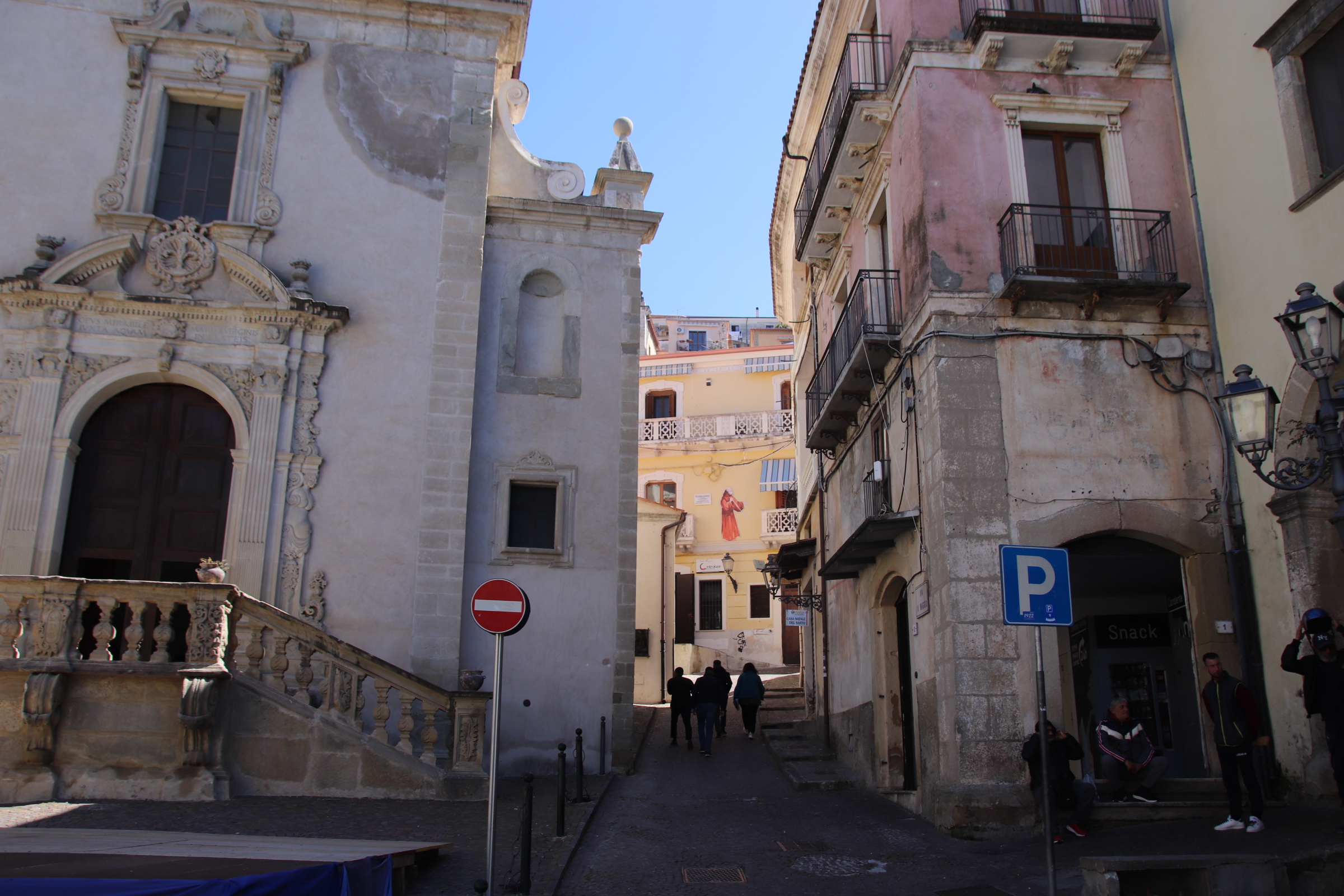
The cramped tiers of Paola’s ancient auditorium

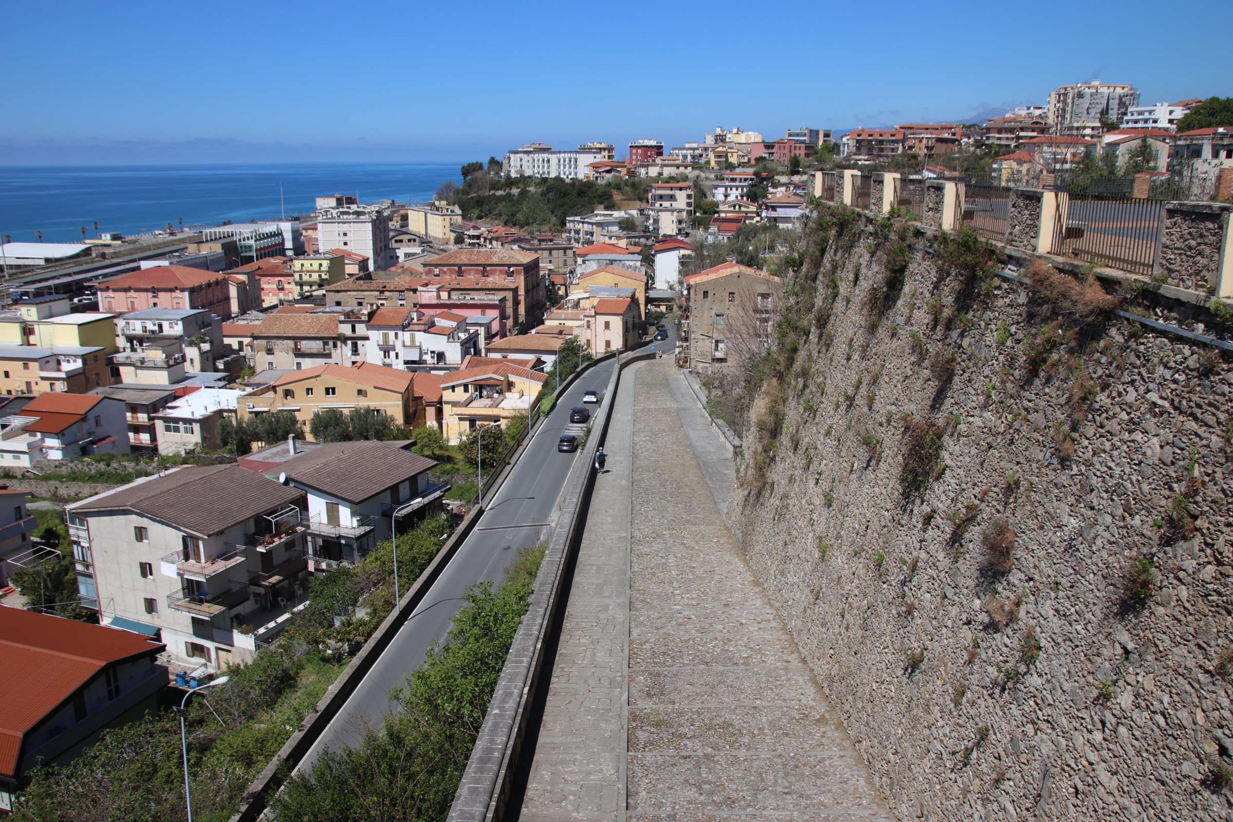
After the wonders of the mountains of Calabrian, it is back to the coast for a few days in Paola. Let me say at the start that Paola is utterly fascinating. It has grown up on the narrow strip of shore between the sea & the mountains. Beside the shore the modern part spreads in both directions with all the trappings of modern life – apartment blocks, schools, railway tracks & station. It doesn’t really count for much; just an ordinary, functional, modernish kind of town.

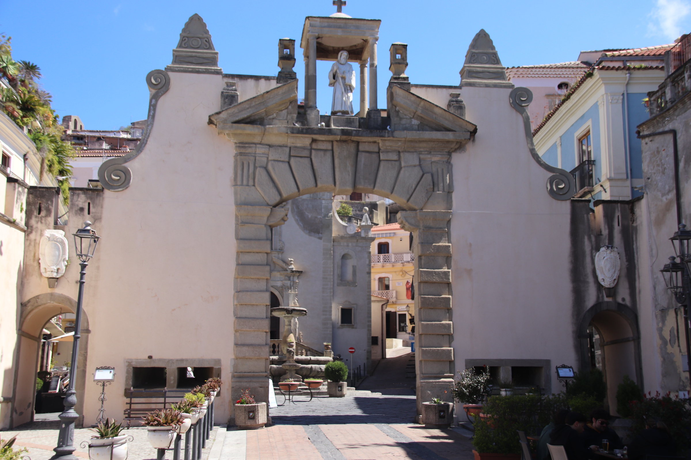
However, once through the arch into the first square, a delicious feast of ancient living awaits. with the old town spreading its tetra-blocked tendrils up against the perpendicular cliffs & gritty bedrock face of Calabria’s hard inside.

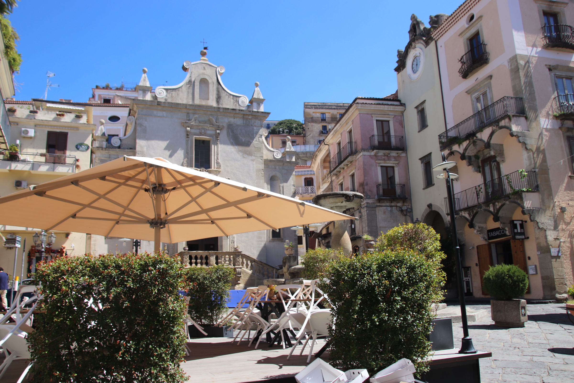
Our accommodation Is high up on the top tier of the balcony of some ancient theatre, dropping down tier by layer of concentric semi-circles, focused on the stage at the bottom formed by the duomo, a fountained piazza & celebration arch where all the historic action has taken place.
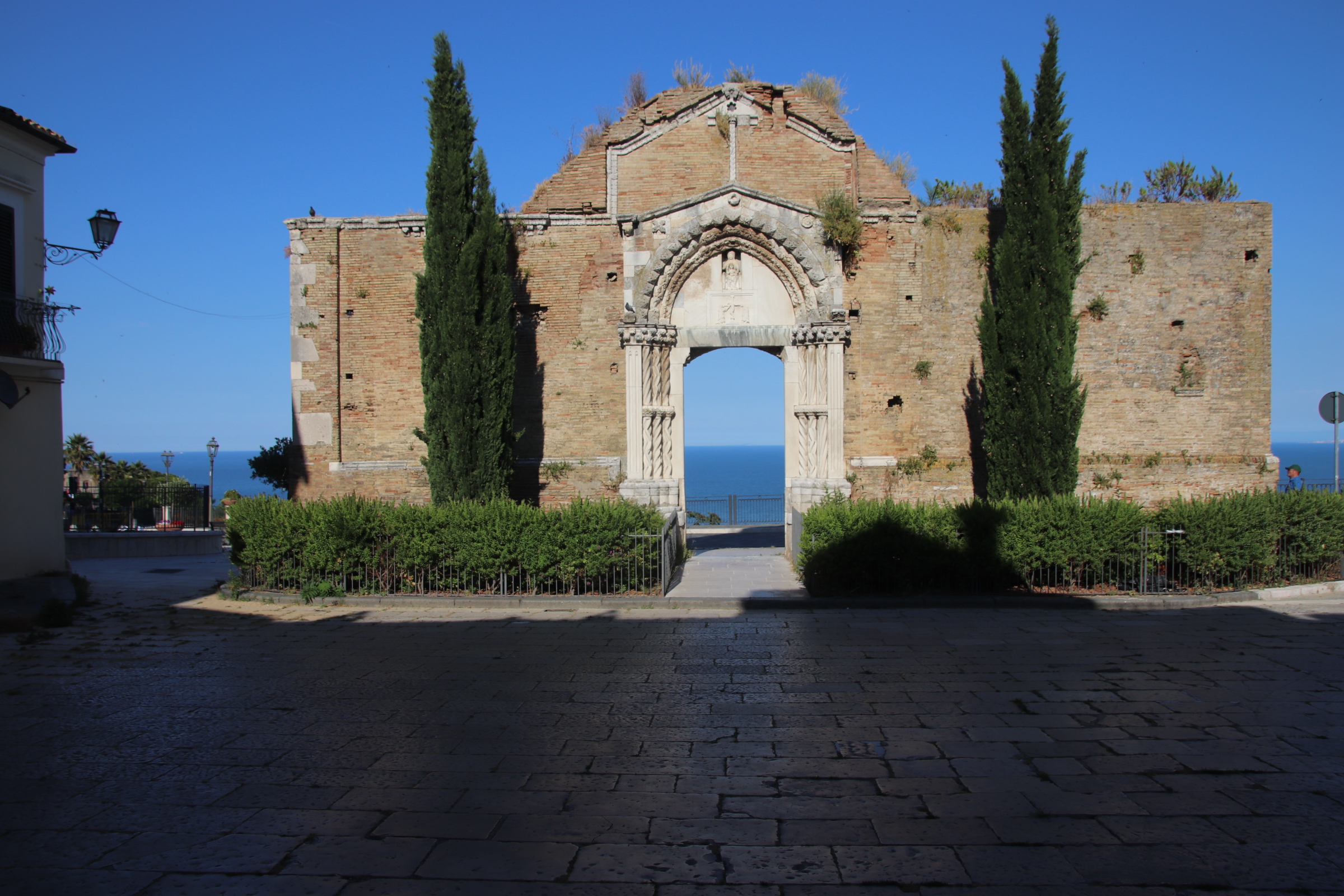
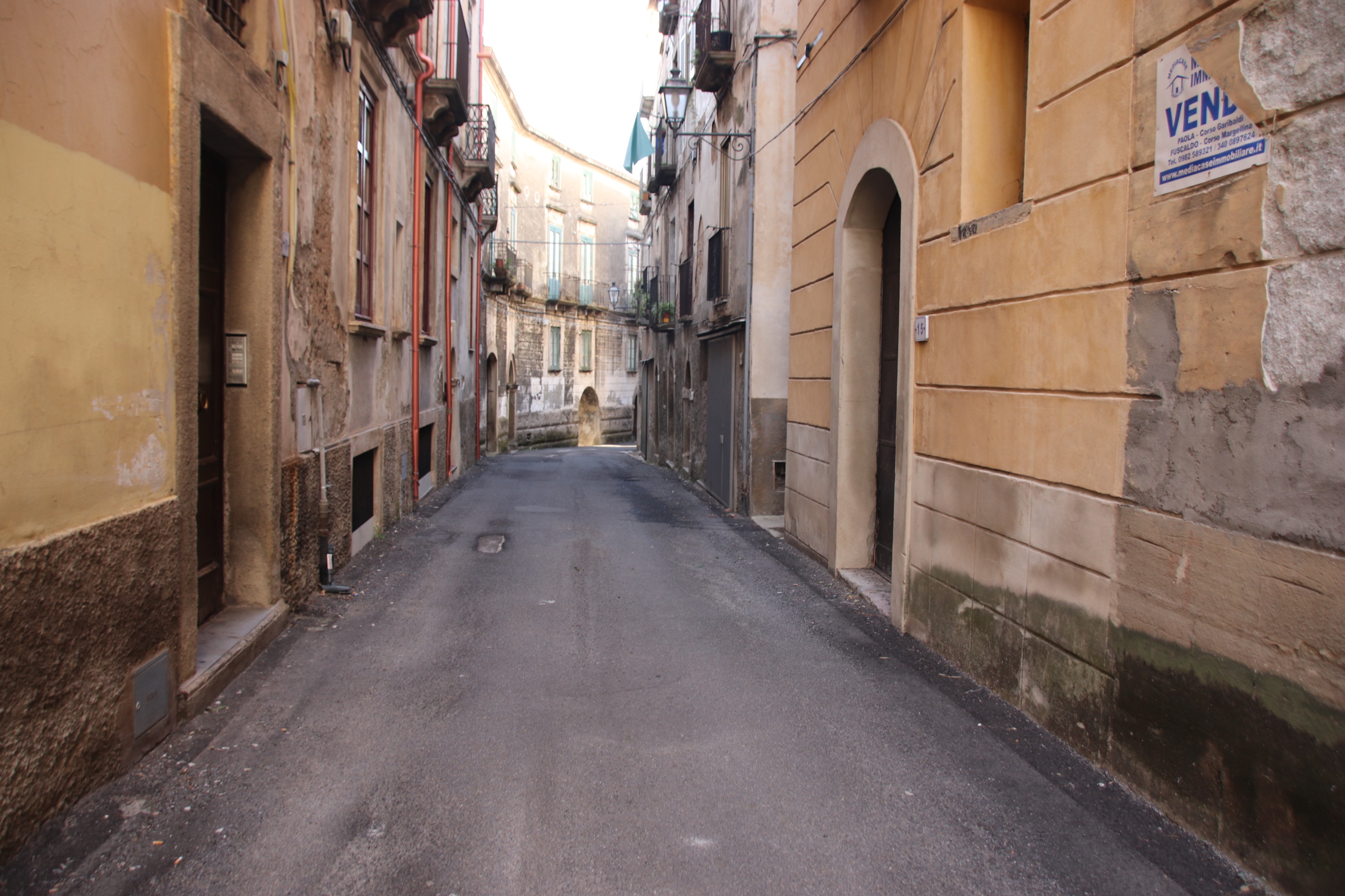
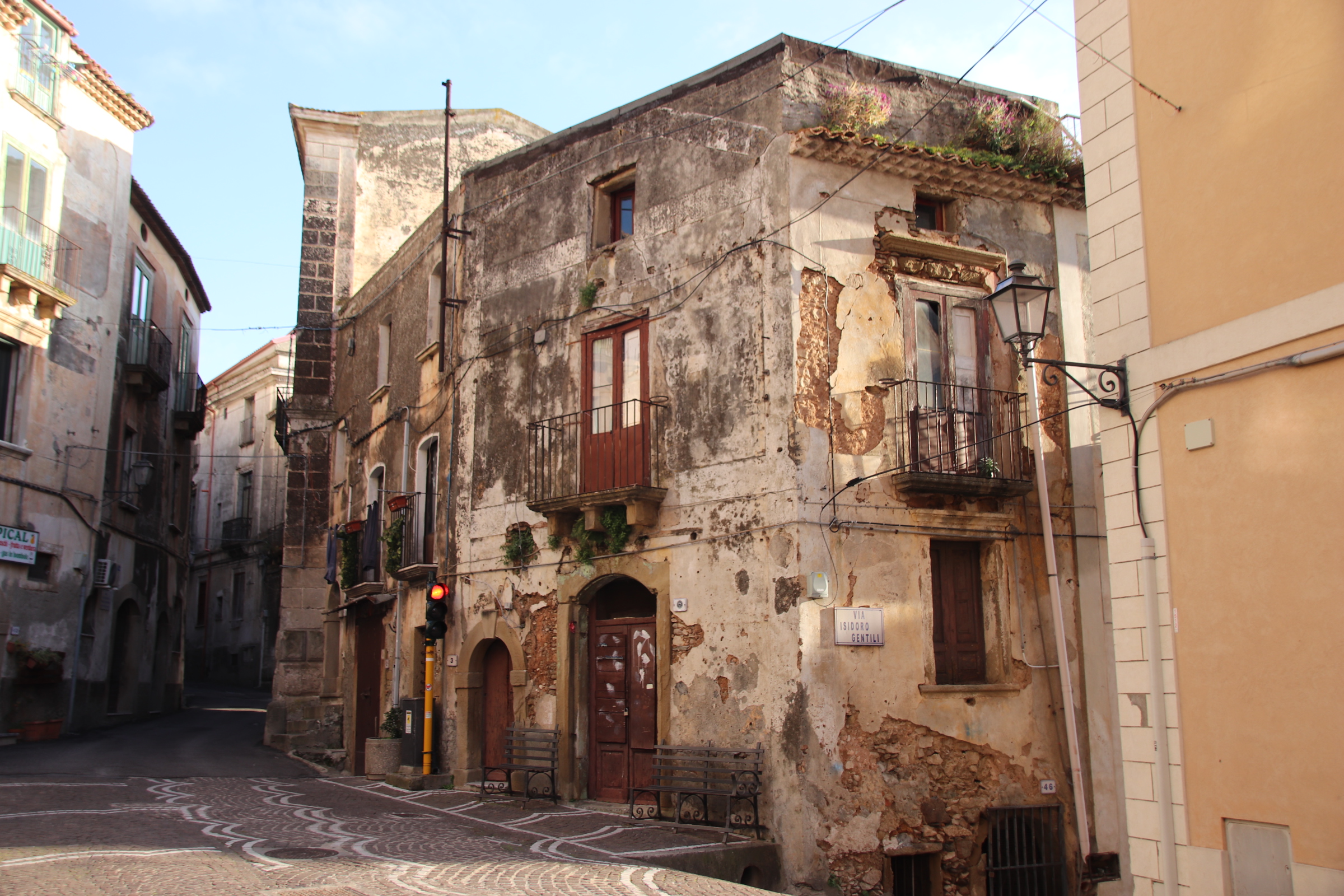
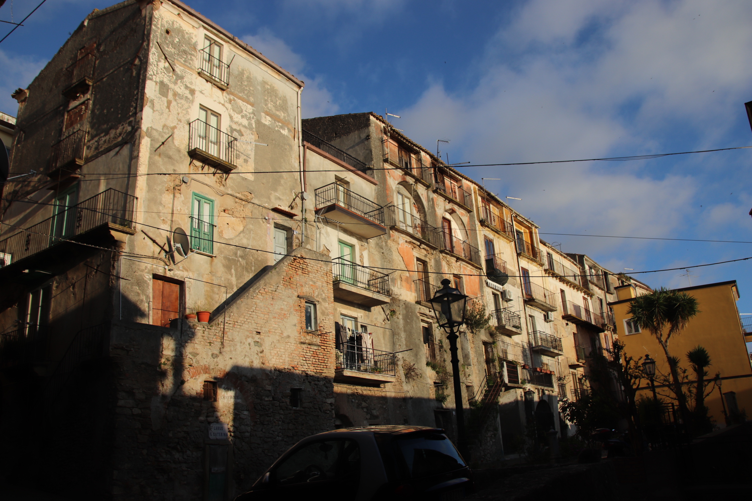
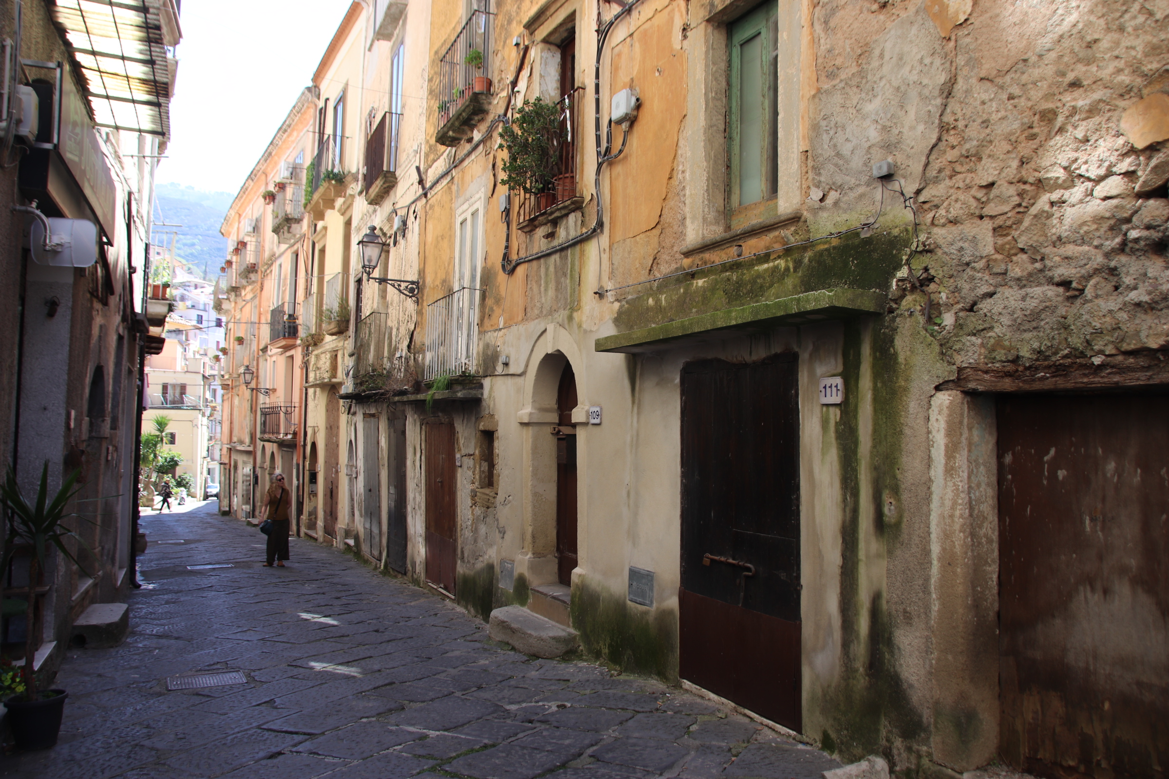
Running under the concrete piles of the top ring road, ancient, flaking tenements, some elegant, some requiring a bit of work, leave narrow spaces between their gloomy facades, so narrow that traffic lights are required to allow one line of vehicles through at a time.
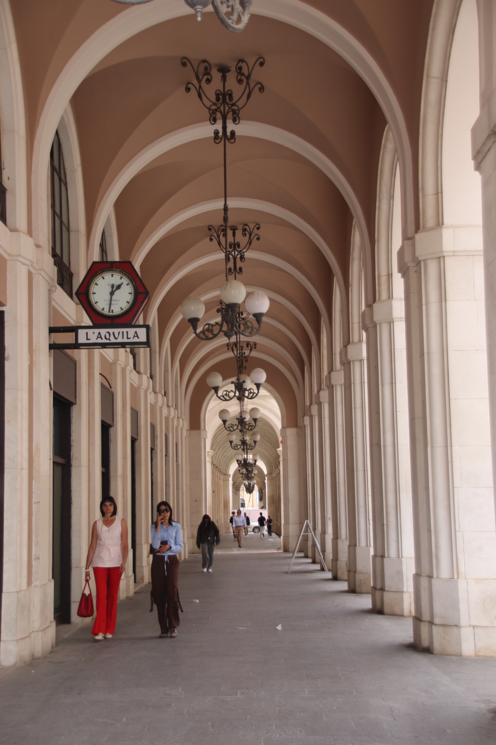
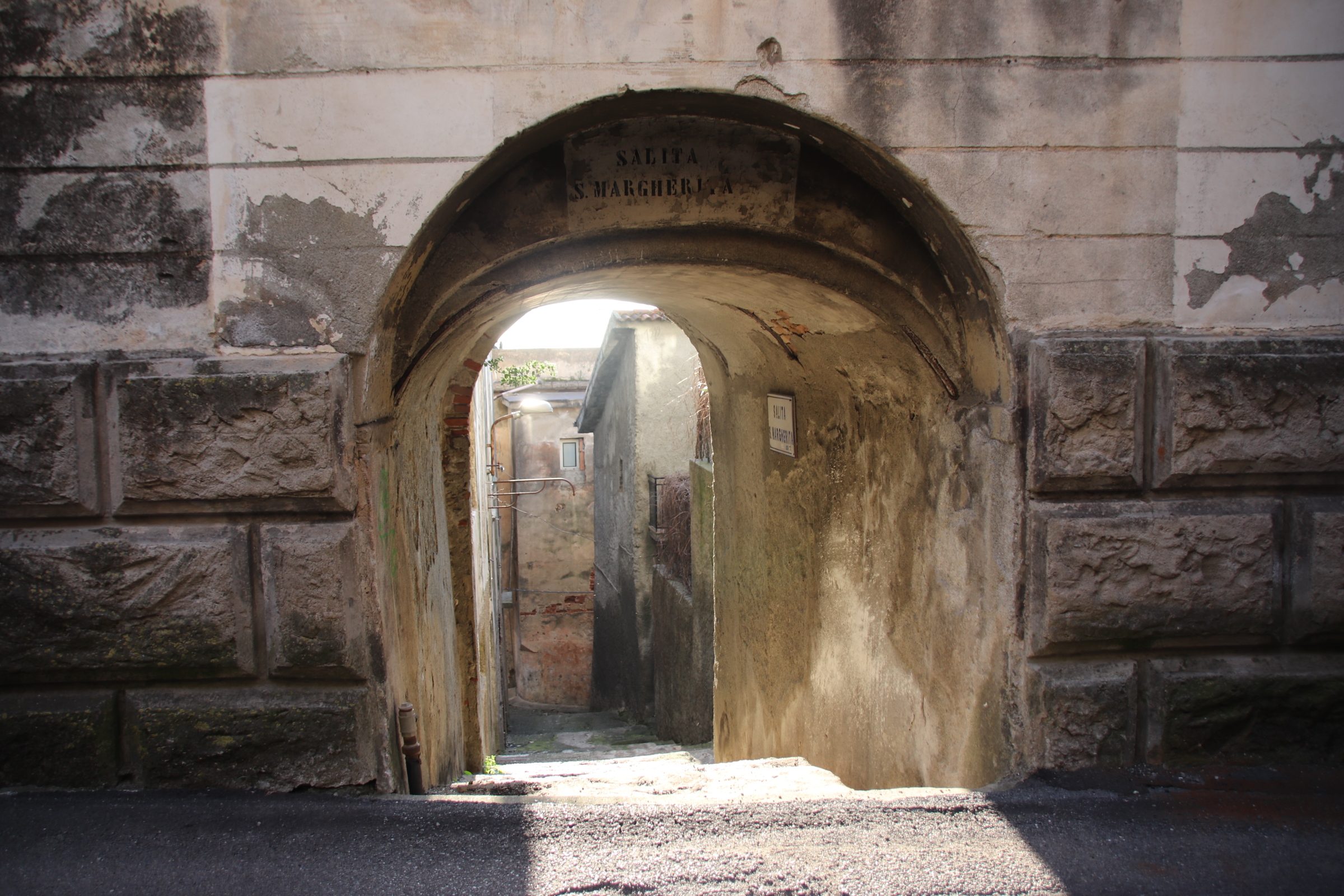
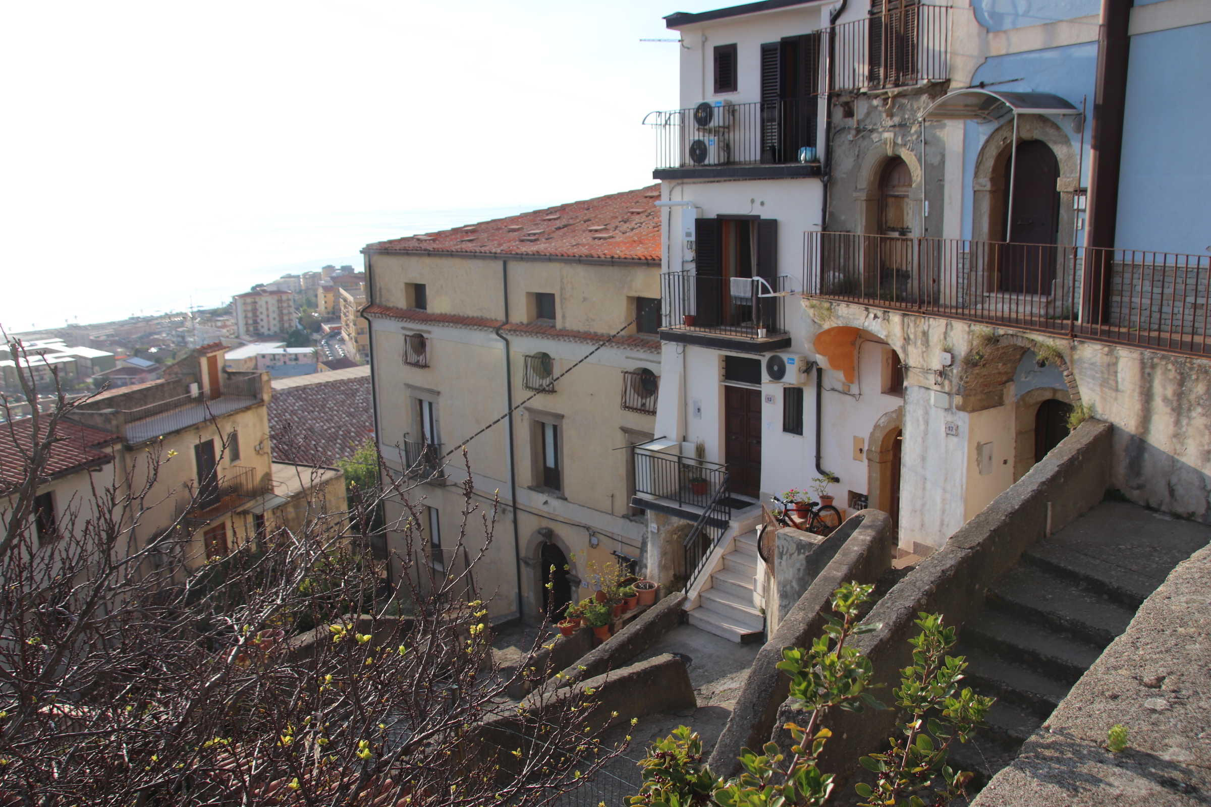
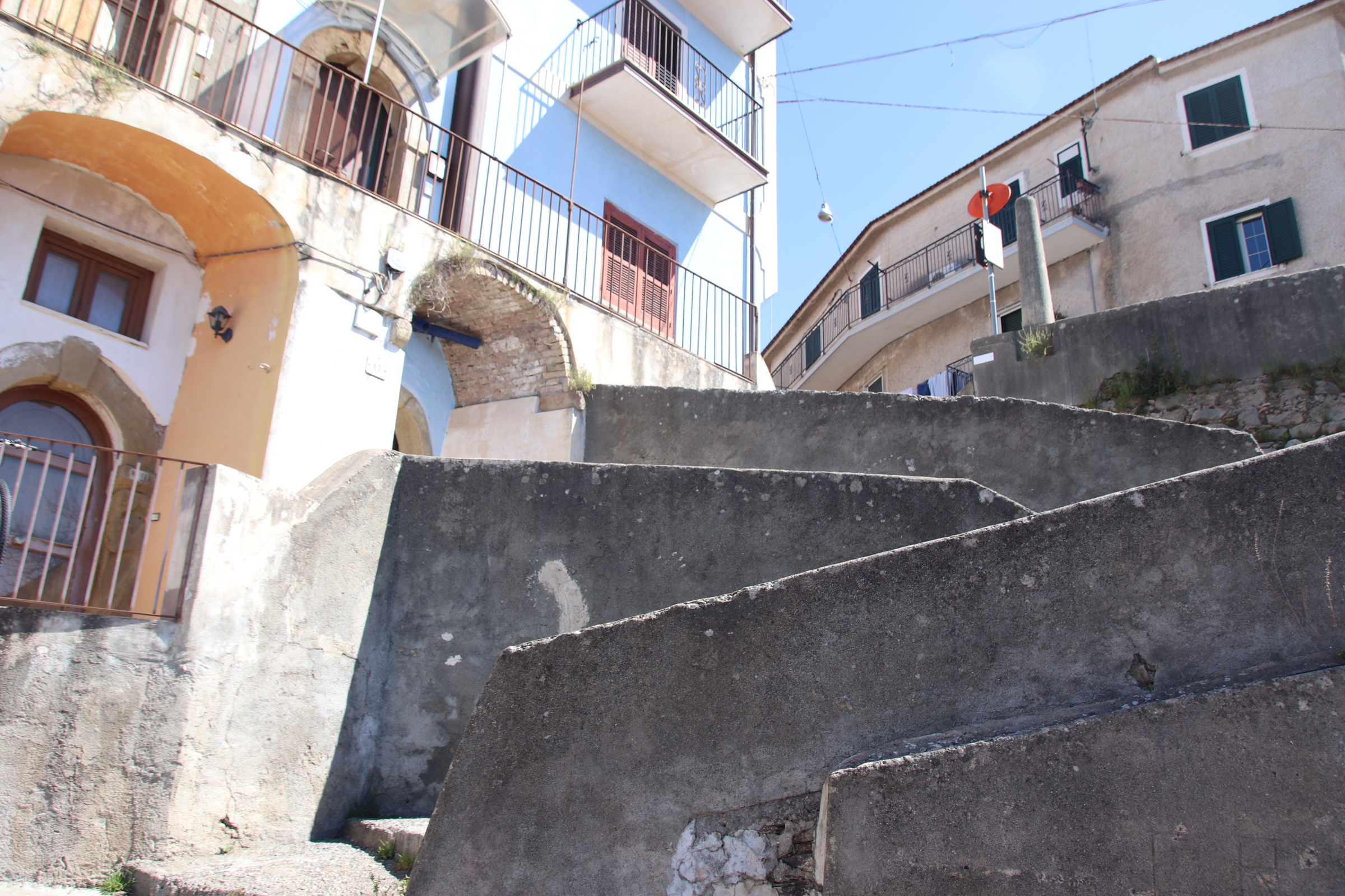
This top road follows the contours of the cliffs surrounded by tall, grey-orche camouflaged, apartment buildings is connected to parallel tiers of lanes & alleys by a snakes & ladders set of interlacing stairs & steps.
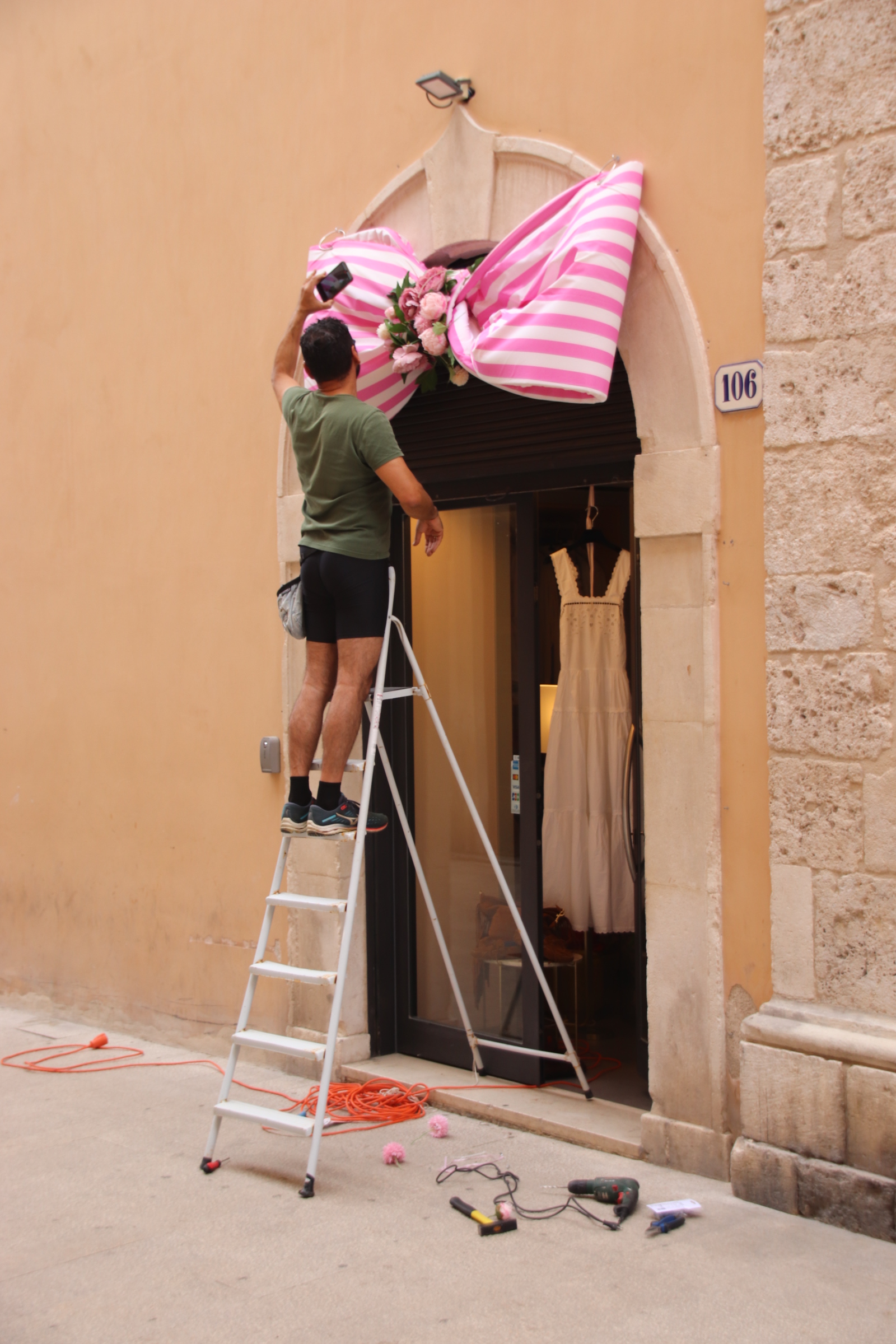
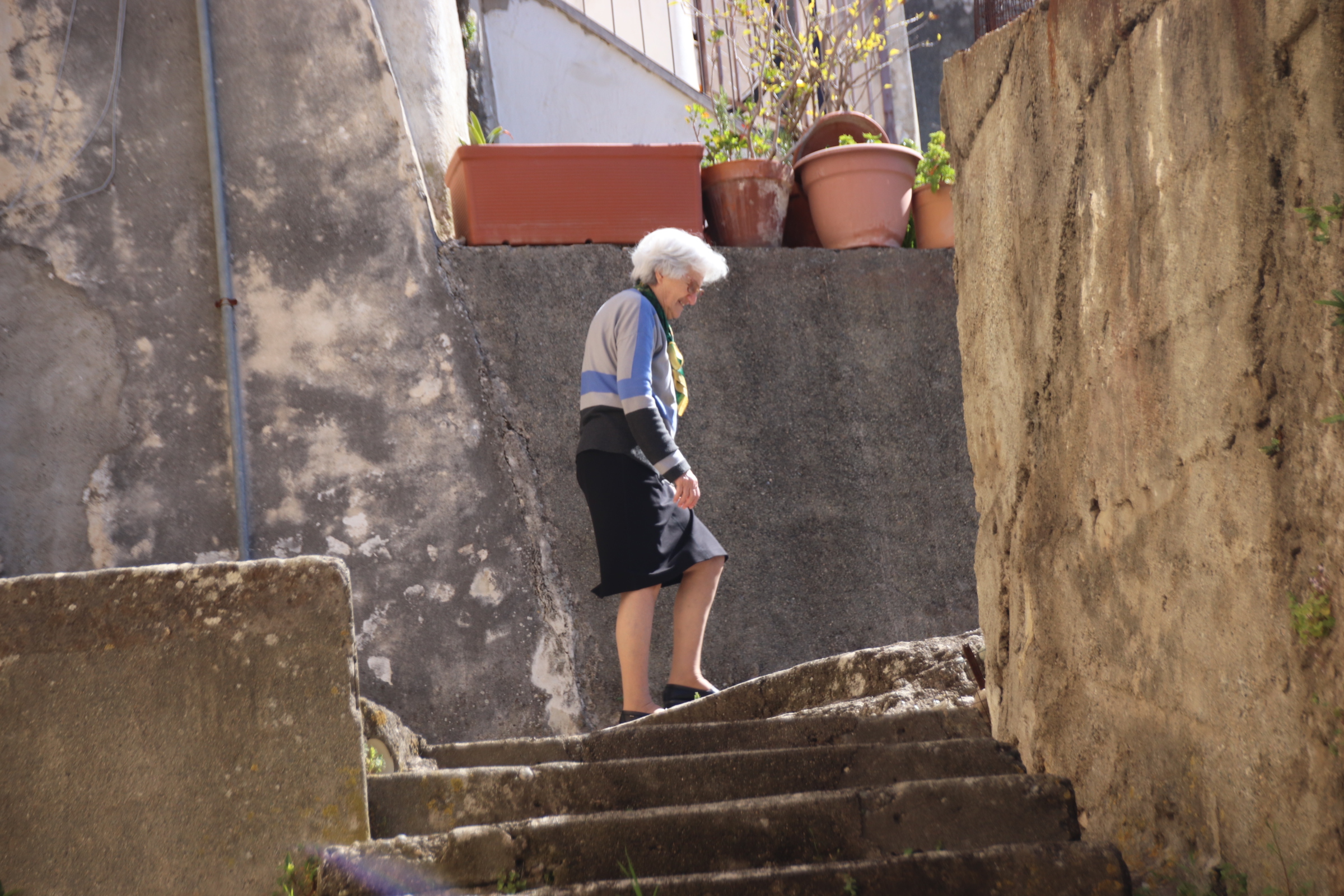
It’s an easy decision to take the steps down to the centre of town. But it has to be remembered that there is always the coming back up. The steps are steep; going down takes 15 minutes; coming back up is an exhausting 30/45 minute work out. Who needs a gym membership? These lovely sprightly ladies have done it for decades, everyday of their lives.

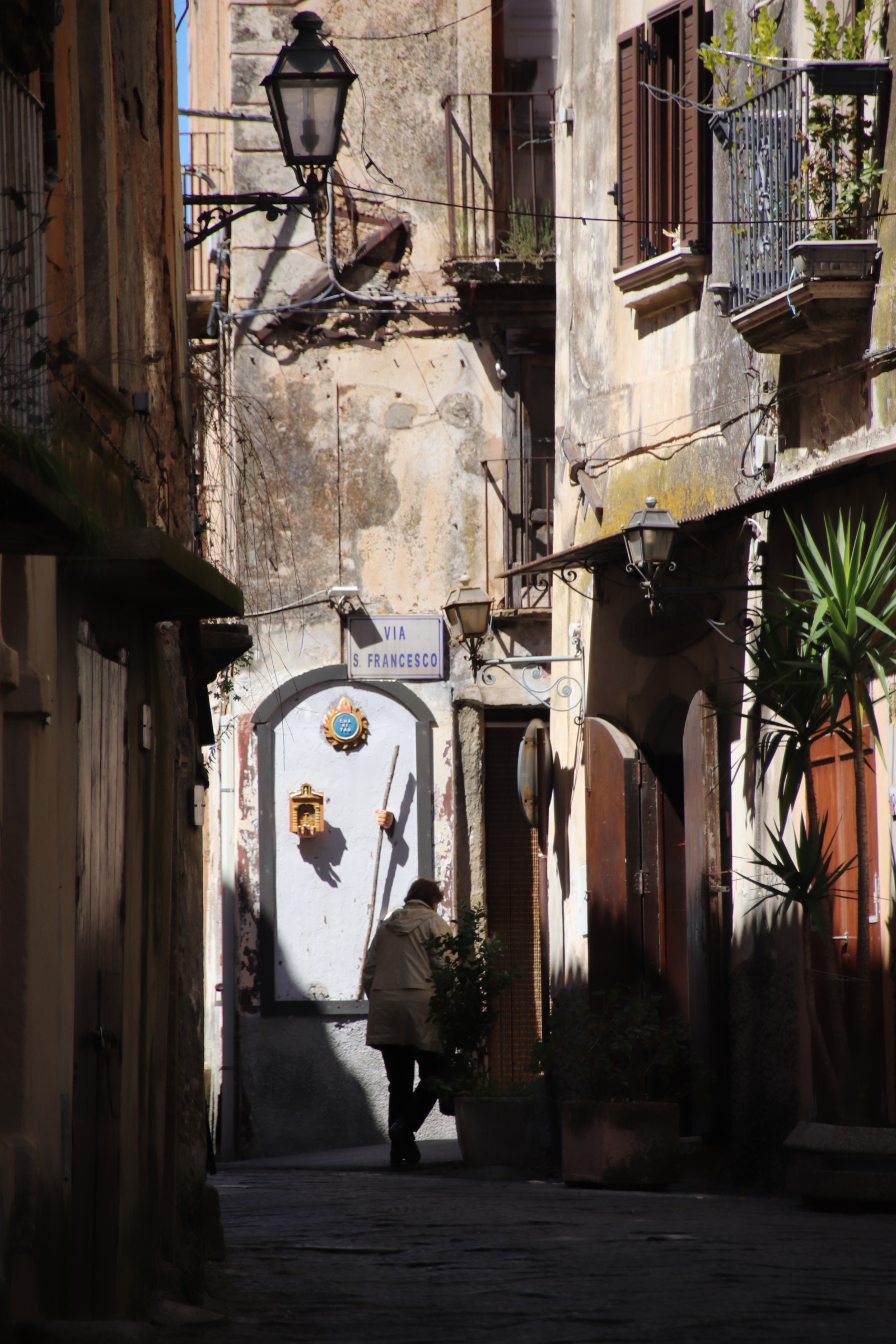
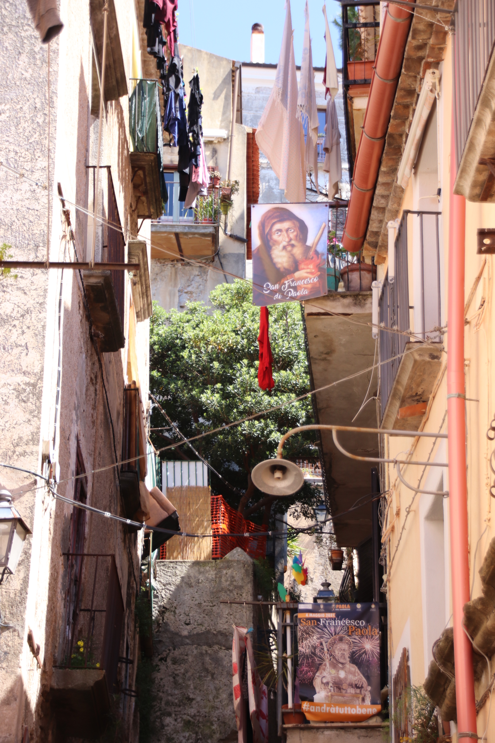
Once inside this tangle of lanes & steps where time stops still, & the sun dares not shine but just appears in the distance as a promise that there is a way out, you can easily be overwhelmed by the past -. the stones, the tenements, the religious images painted on the walls, hanging washing, dark gloomy alleys, shadowed stairways, flaky facades & peeling doorways; they all present the past to those who live within and those who have the strength to traverse the stairwells.

Reminiscent of a Dickensian nightmare, it is a relief to emerge from the shadows into the brightness of an Italian spring.

The impressive mountains of Calabria

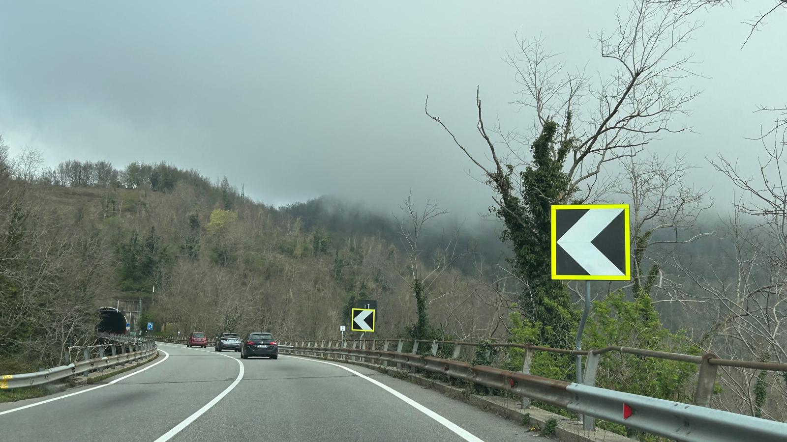
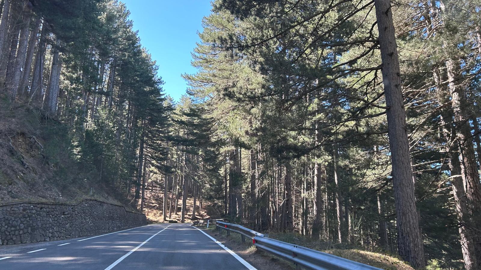
Calabria is shaped like a long tongue with all the taste buds in a narrow coastal strip around the low edge of the thick muscular mass of mountains & valleys. Travelling up the coast for most of the day we were overawed by the layers of brooding storm clouds that hid the mountains beside us. On the coast we were in the sun, but the tops of the mountains beside us were hidden by intensities of grey. We were turning inland to expereience life inthe mountains. Our destination was an agritourist centre in the heart of the Calabrian Mountains, within the peaks, lakes, streams & valleys that make up the Sila National Park. To reach our goal, we turn up through the clouds & grey pines where trolls & goblins hang out.

The road passes through several tunnels, the longest 1.5km, & we emerge into brilliant blue skies. Our journey has been transformed.

Our accommodation Is on a very efficient, working farm. Agritourisimo BioSilva has several large function rooms, a farm shop, restaurant, & rooms for overnight guests. Being Easter, the place is absolutely heaving during both Sunday & Monday, at least during the day. Some very classy cars drop off 100s of men & women dressed in black. I won’t mention the ‘M’ word but there was a certain feeling. 😆. Once the limos & mercs took their human cargo off home, we were the only guests there!!

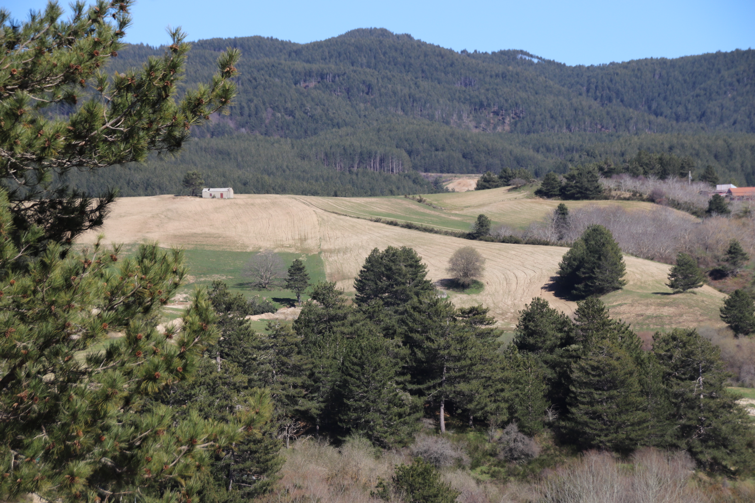
Ahead, farmed hills & timbered ridges veer off around us. Those wonderful intestined roads, take us past open land, up & down & around sweeping bends over gushing streams, through giant pine collections. Whenever the landscapes open up, the hillsides are dotted, decorated, with white villas & clusters of traditional villages topped with clay tiles & a church spire. It’s difficult to tell if these are new builds or renovations. The countryside feels prosperous with an overall veneer of affluence although life seems harder in the towns & villages.

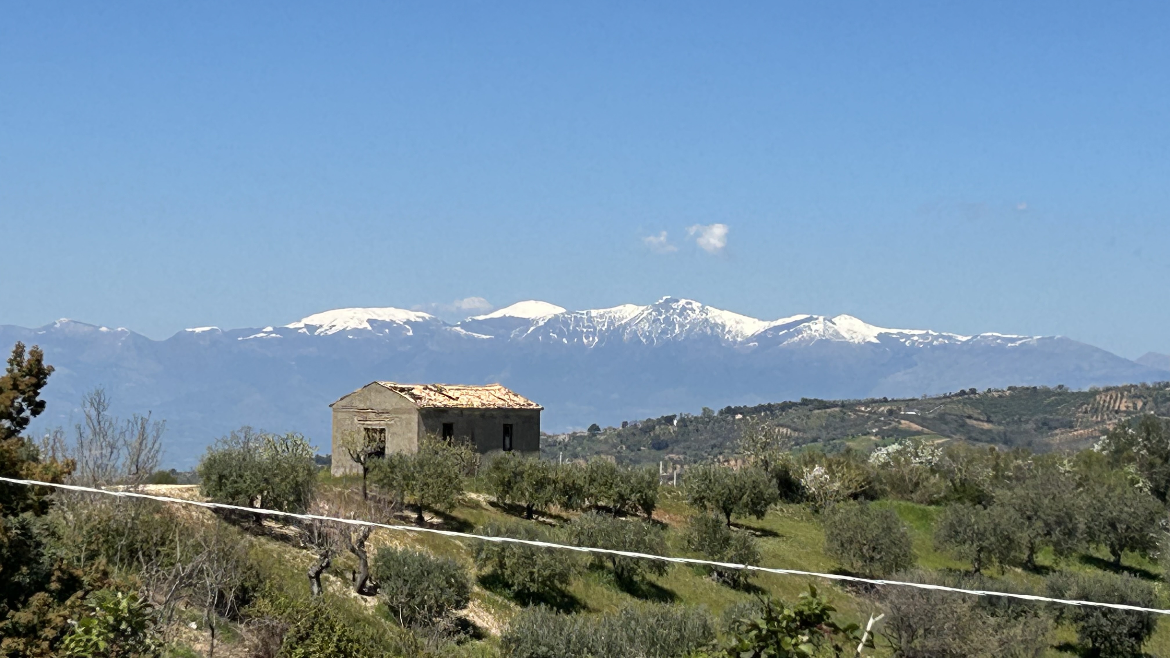
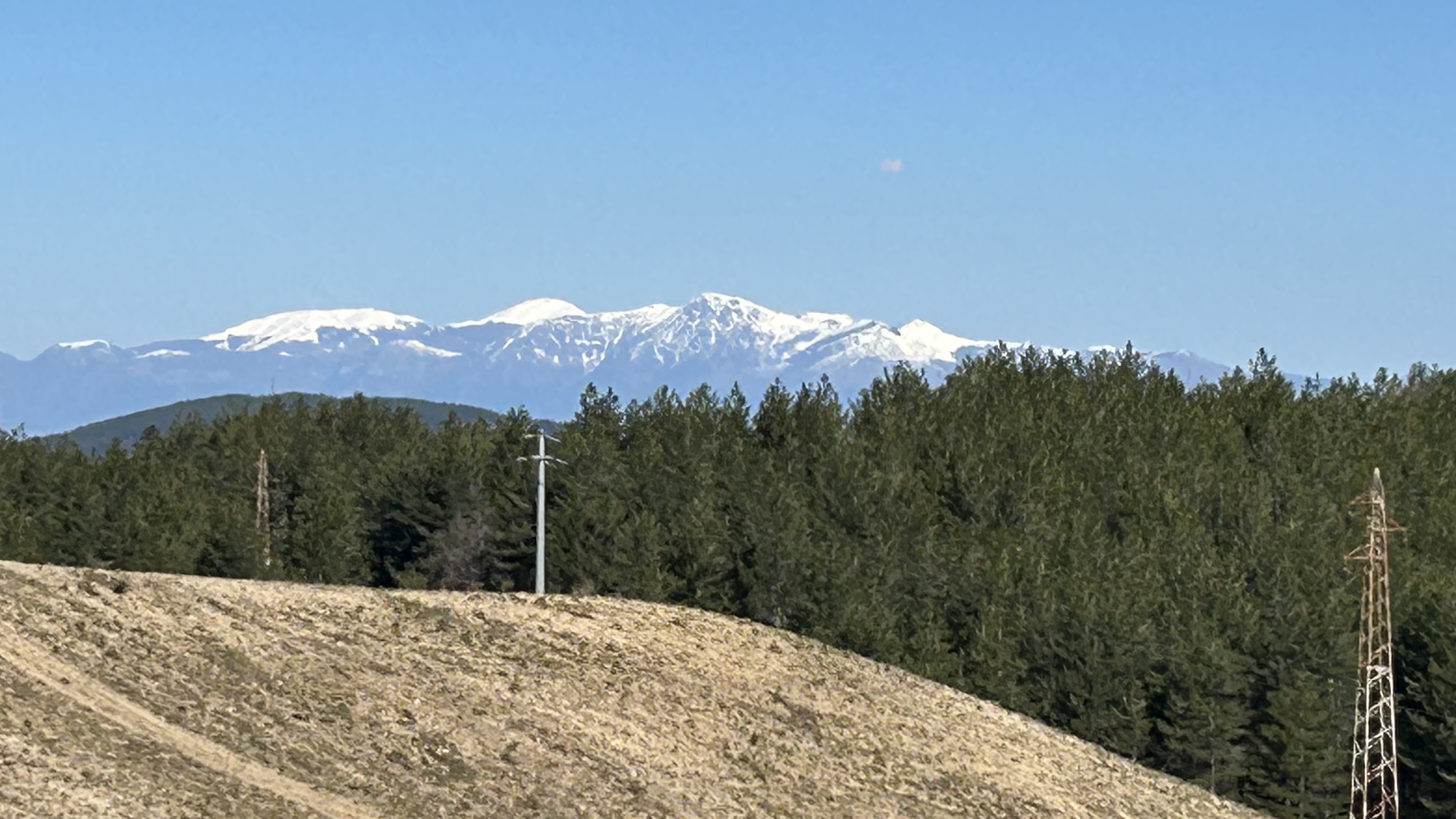
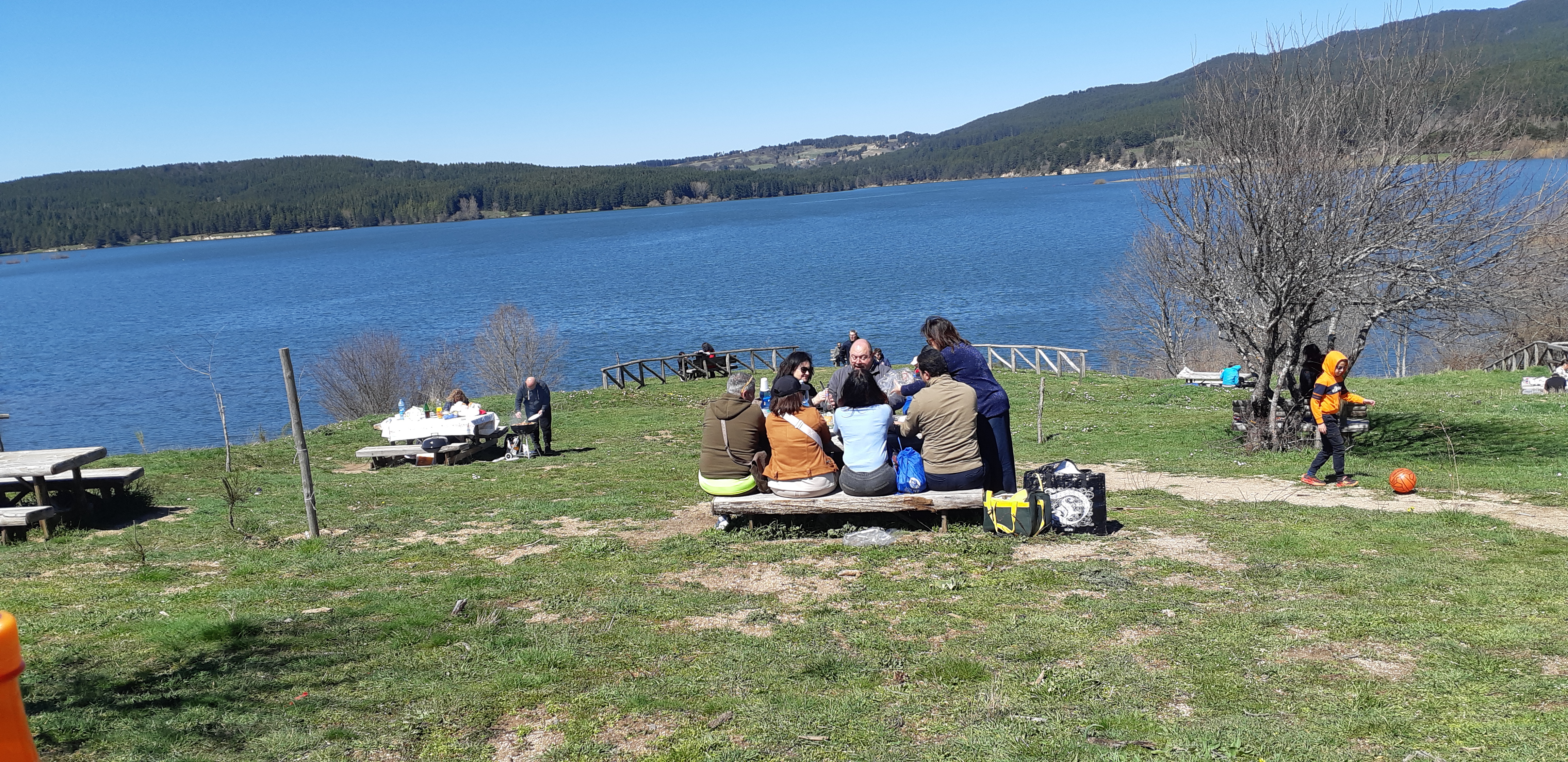
In the far distance a rim of peaks is topped in brilliant white, snow capped to show off the contrasts of stone structures & pine & harvested fields. Up here, 1,000 metres high , snow still lies on the ground. Locals drive up here with picnics & barbqs, with family & friends to take in the clean air & the freshness of the mountains.

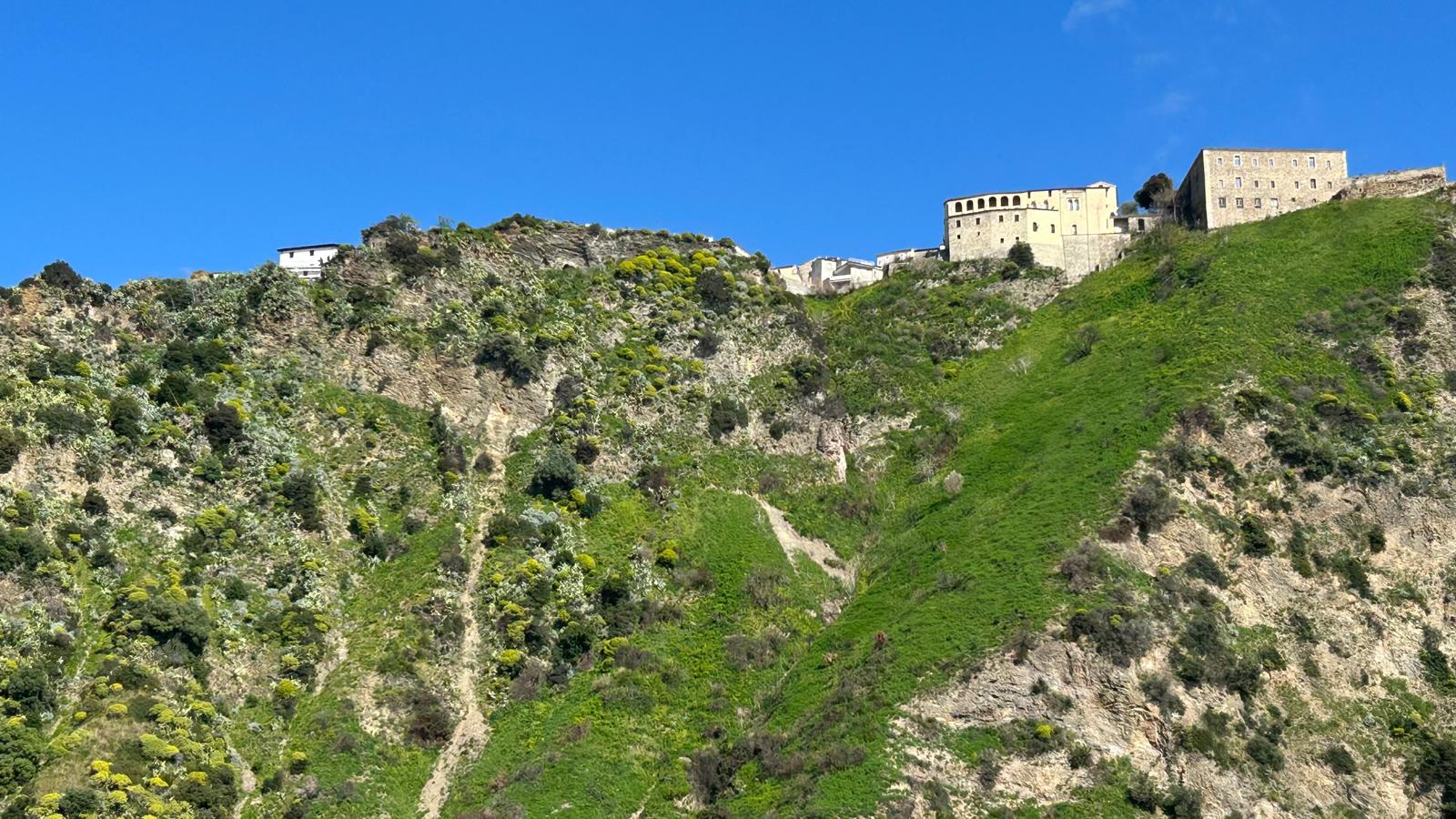
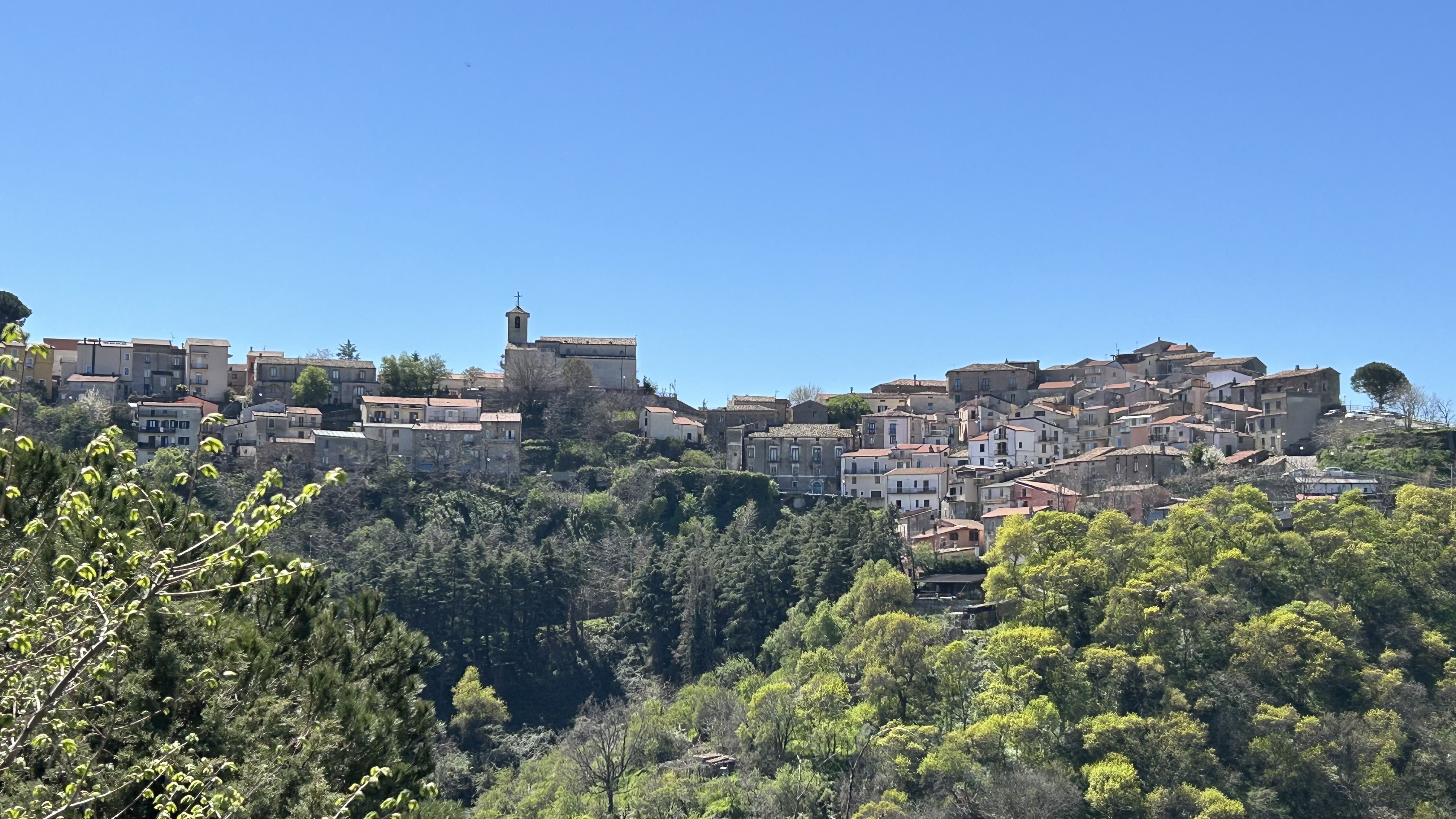
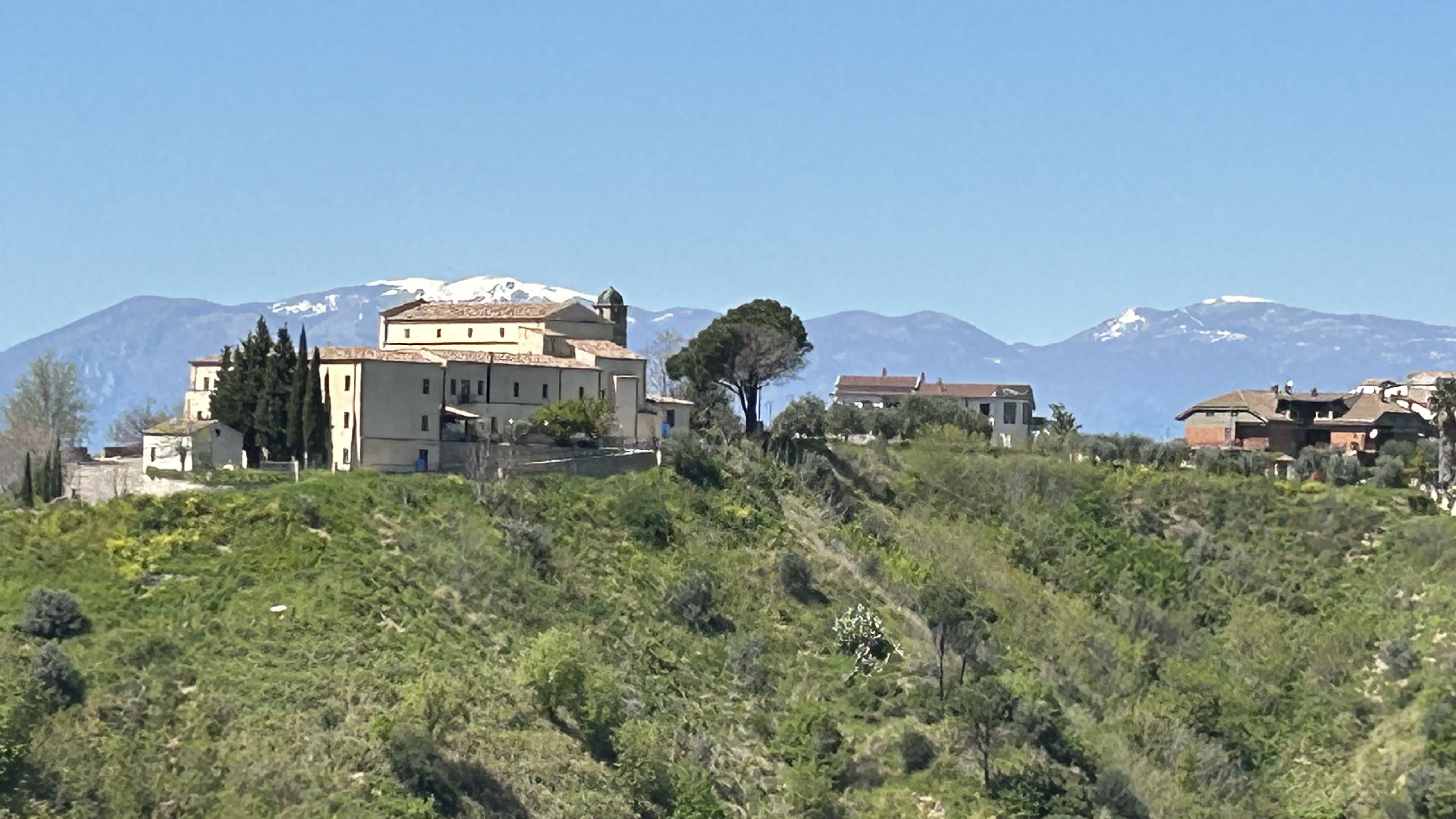
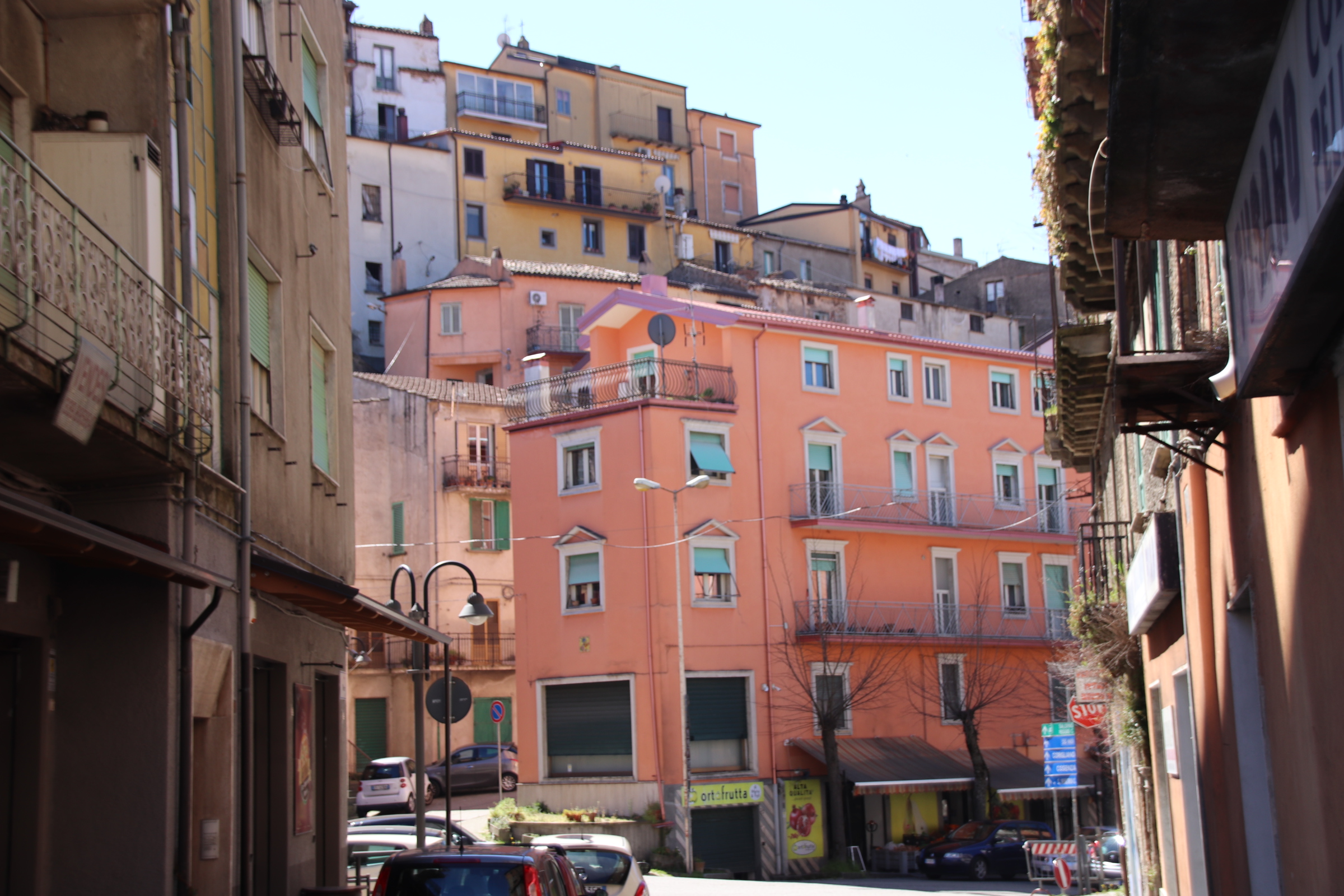
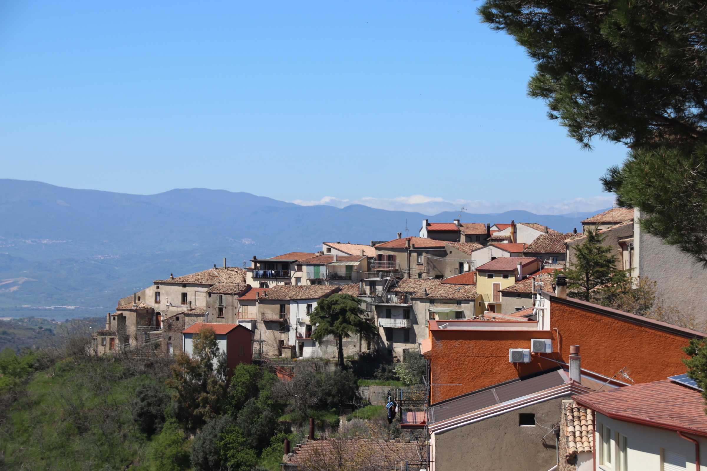
There are numerous villages & small towns spread around the mountain scenery. Acri is just one – a modernish town that settled around the foot of an ancient village perched at the top.

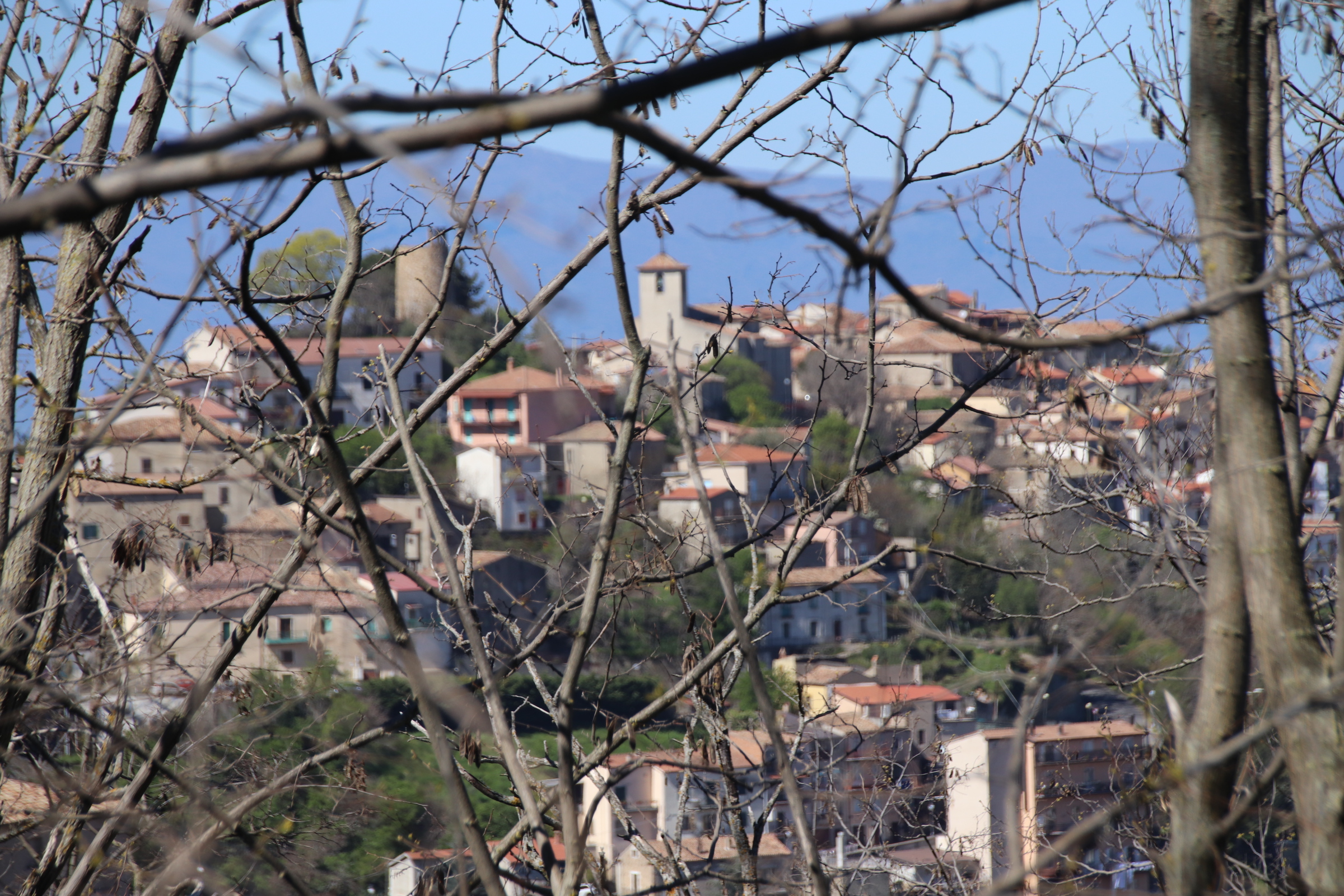
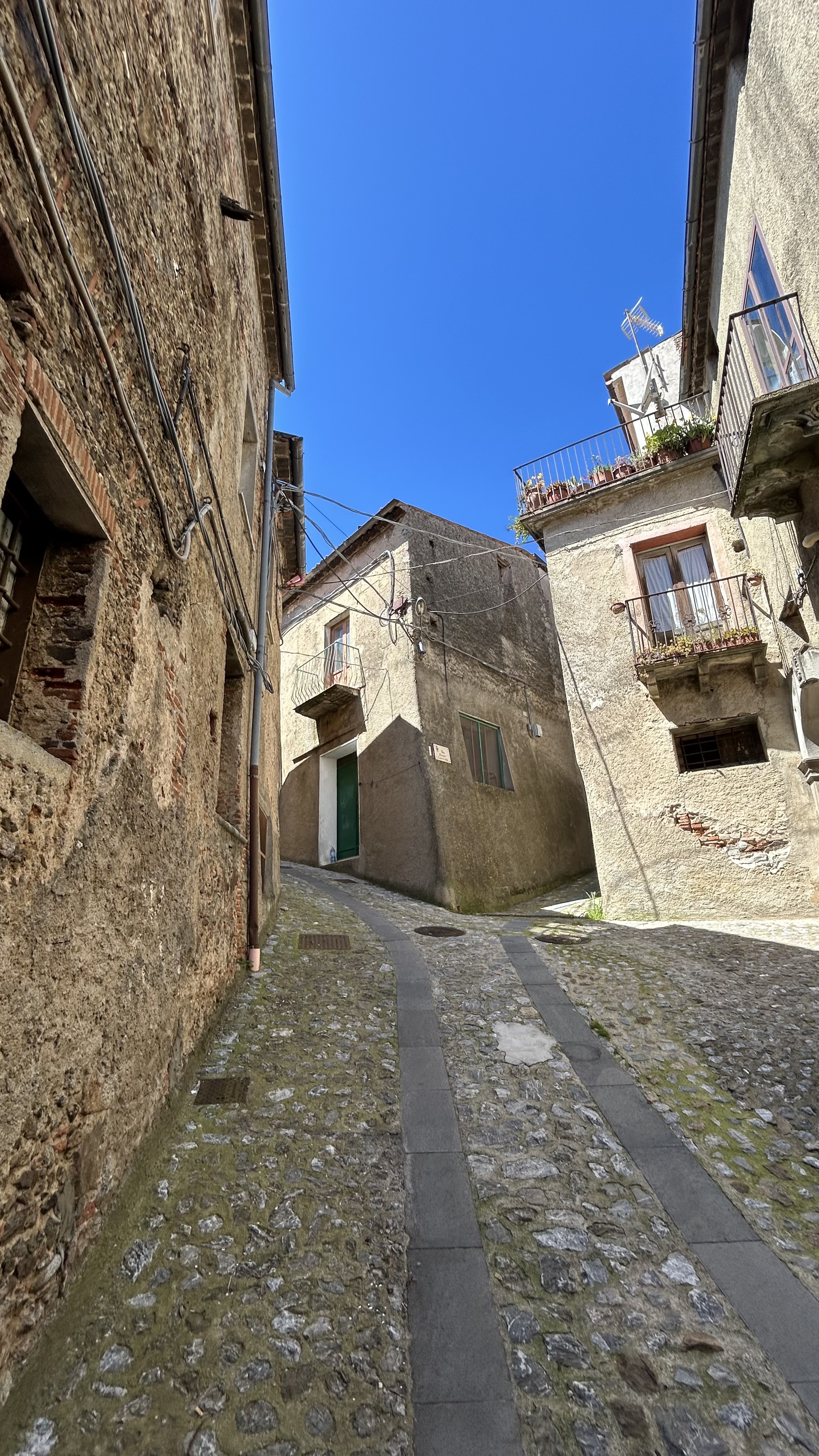
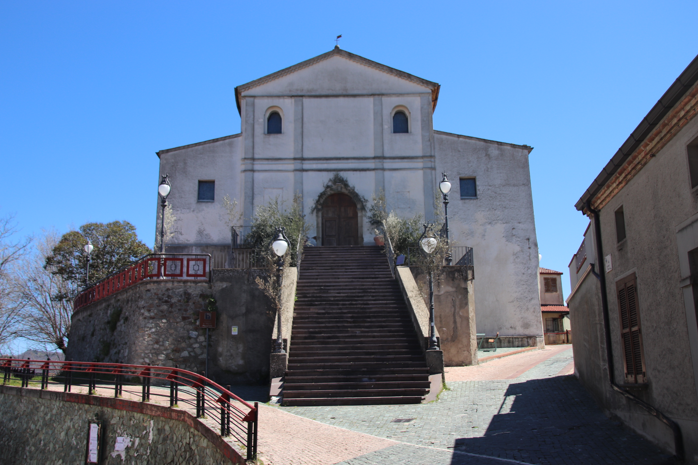
A tumbling watchtower & the church of Serricella di Acri overlook the modern town below. A few locals still in this ancient hamlet but most of the small houses have now been taken over as holiday homes.

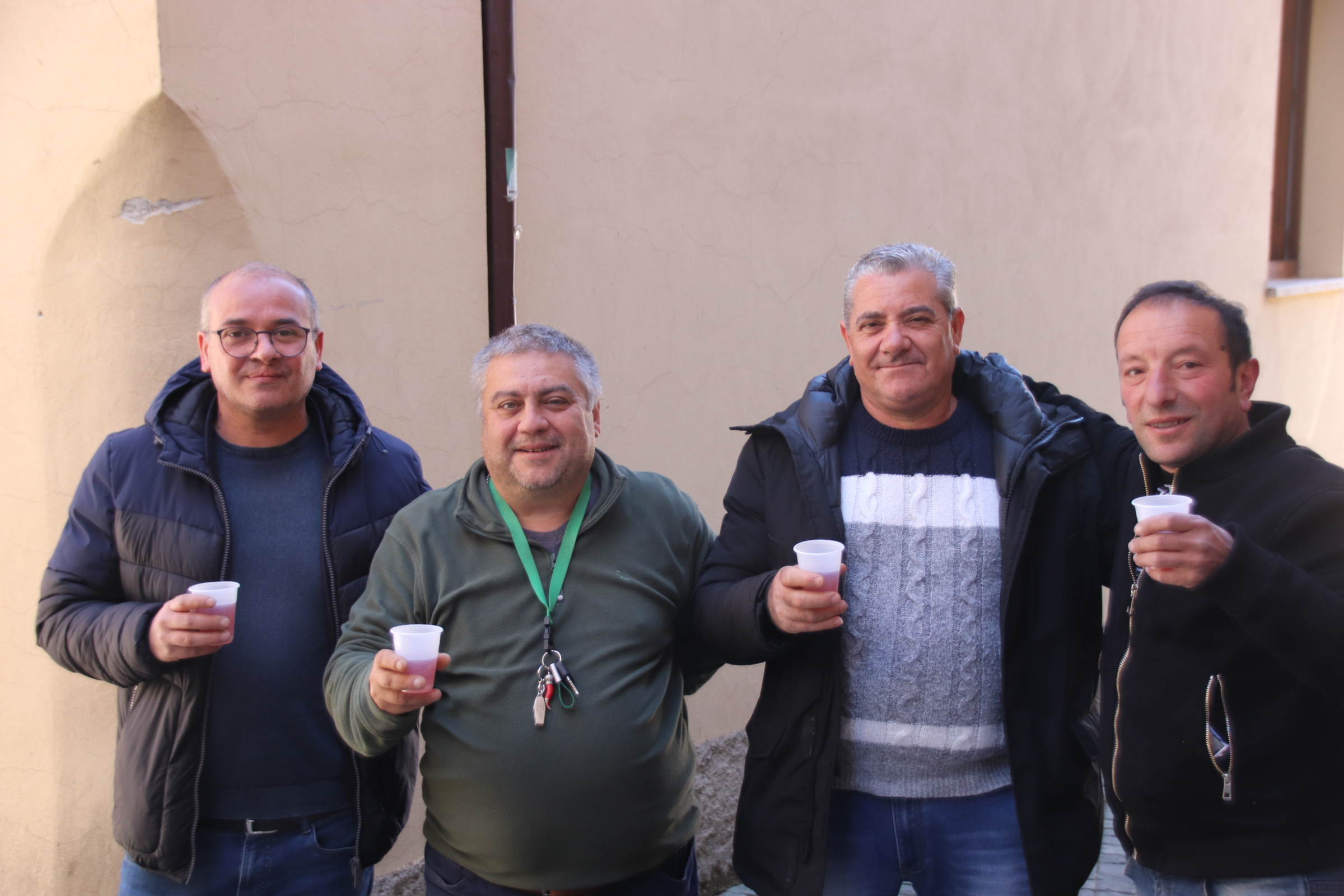
I made friends with these guys. We shared plastic cups of local rose & stories of pensions & childhood in the area.

First Night in Calabria

Calabria – that bit of Italy that forms the toe of the well-heeled boot that ends the single leg of the peninsula persona that is Italy. Full of stories of poverty & mafia & mountains & beaches, it awaits, full of expectation & anticipation.

At the end of a long day we fly into Lamezia Terme around tea time, pick up the car (scary – an upgrade; never want an upgrade in Italy; always means larger, newer, more gadgets, more bleeps & blurps & harder to negotiate narrow streets, parked cars & various street furniture, not to mention parking in impossibly tight spaces; this one is a Jeep with 5km on the clock!!). We make our Tom Tom way to the hotel for our first night in Calabria.

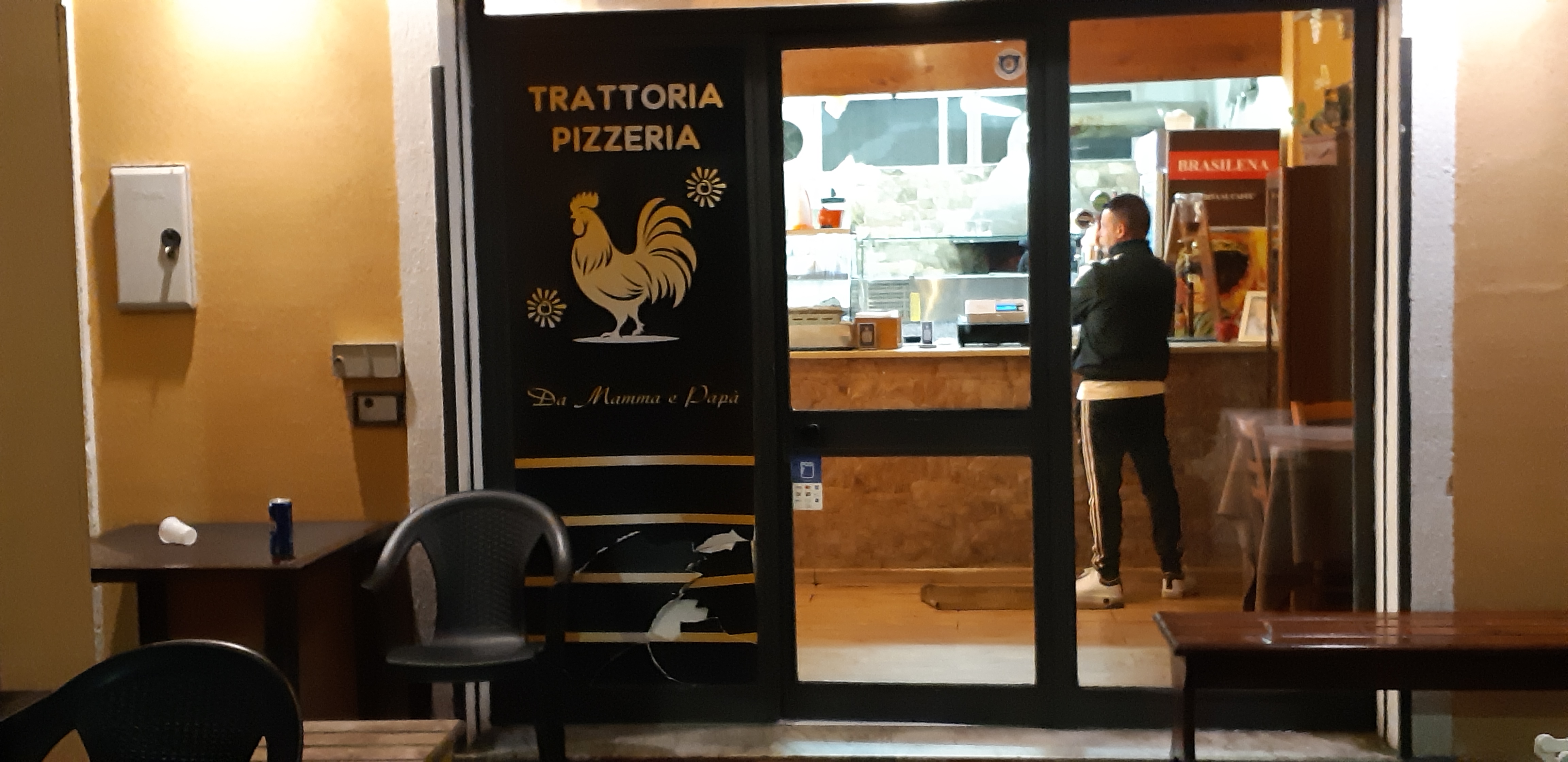
Once settled, it’s a quick consult of Google to find a place to eat. Mamma & Papa’s pizzeria sounds good (rated 4.6). We are several km outside any historic centre, in the suburbs, opposite the central railway station. The area does little to excite. It’s an extensive network of ordinary streets lined by low apartment blocks & residential housing with cars heavily squeezed against every kerb. The occasional collection of a few shops interrupts to service the locality.

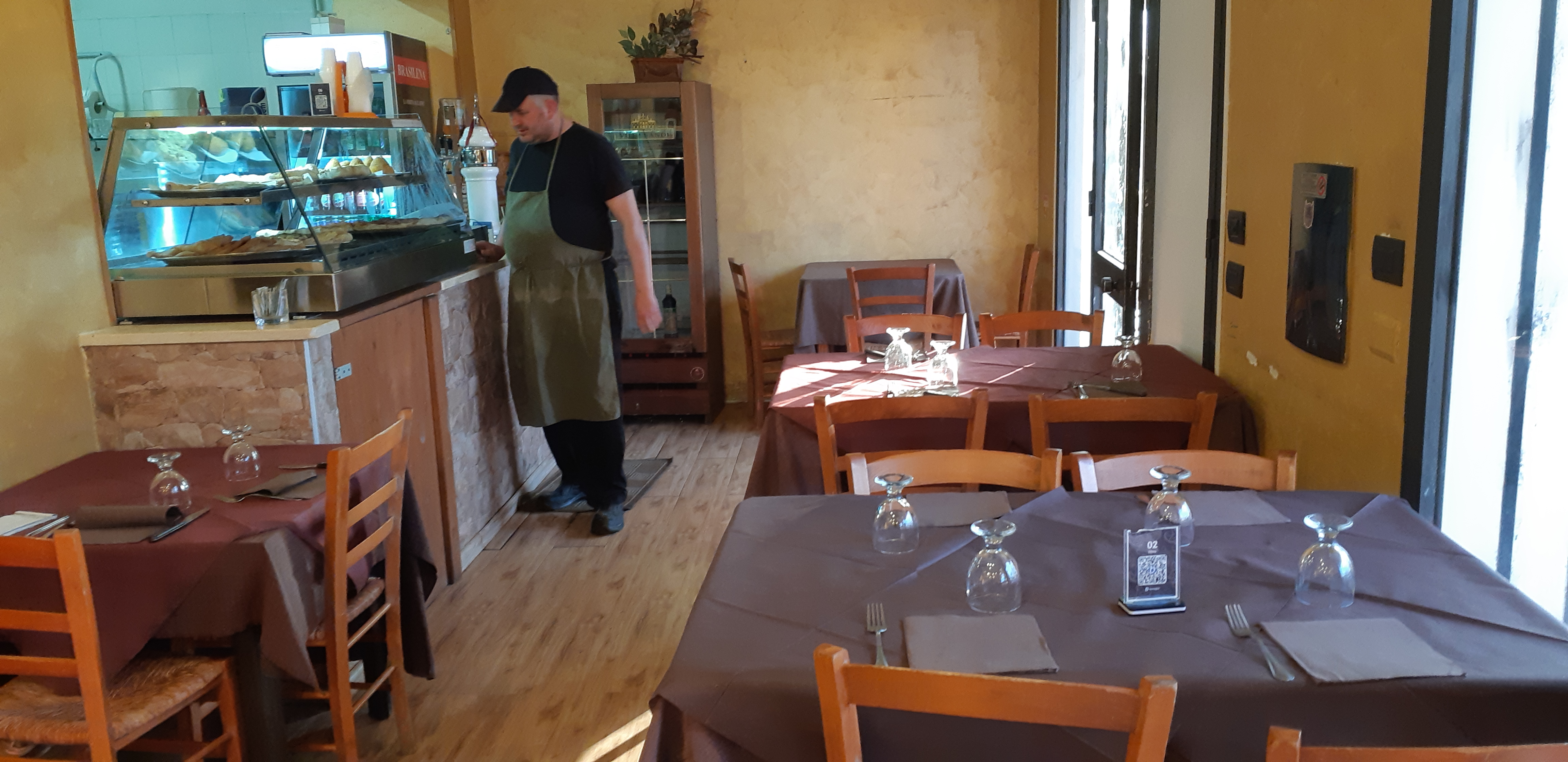
We arrive after 20 minutes walk. Hmmm. A small, rather tatty exterior has a couple of plastic tables under a cross-timbered covered veranda next door to a row of a dozen or so wheelie bins. A guy plays with a young lad running a plastic gun welcome. Slight hesitation but, ‘hey, we gotta eat’. The place is very basic, very tight, & very empty. The guy from outside follows us in & points to a table.

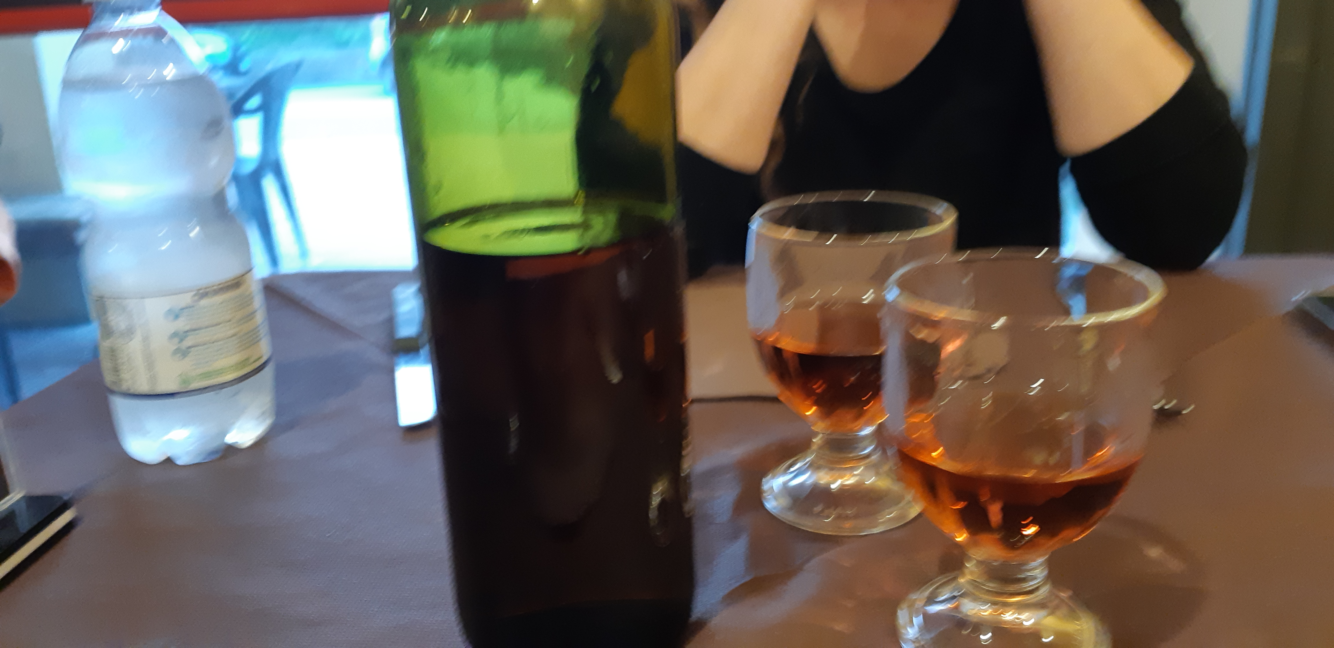
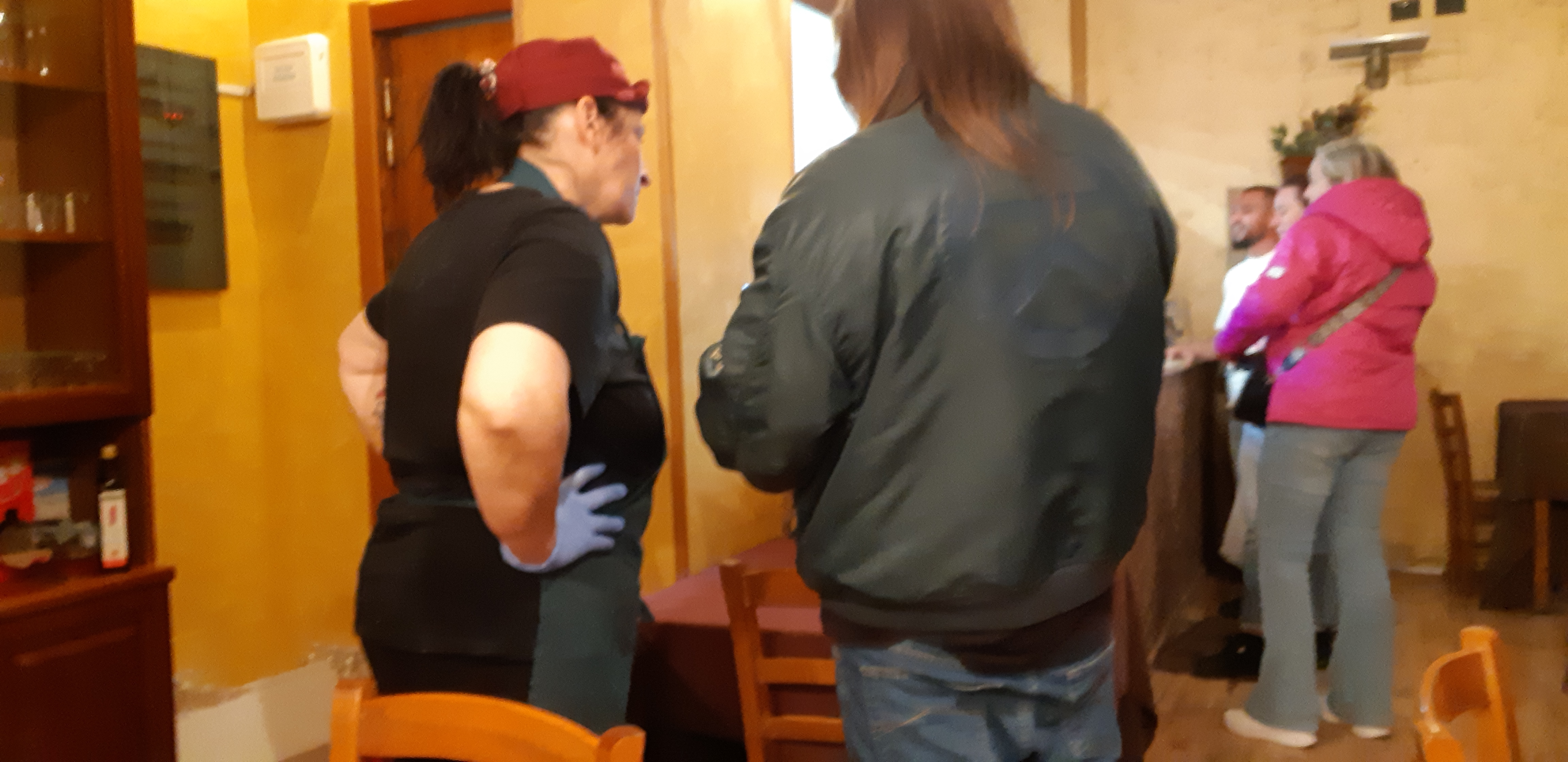
It’s all up hill from that point. Using the QCR code we make our choices. A large, smiling man appears from the back & we start a friendly banter with no Italian & little English. ‘DrinK? Red wine or red wine?’. ‘Oh, rosso’. I think he saw us naive Brits coming – ‘large or v large?’ We gesture the size of a bottle & he points to bottom shelf of the fridge, a single bottle looking forlorn, ‘local wine; red & white wine’) We agreed. At 10 euros a pop it seems a bargain…. & it is local! The unlabelled bottle arrives at the table. The first suspicion that this is not a vintage bottle comes as he pours – the colour is that of petrol & the initial taste is reminiscent of diluted cough medication. That really never leaves as we empty the bottle as quickly as possible, showering false compliments as we go. Still, its alcohol & it breaks the ice.

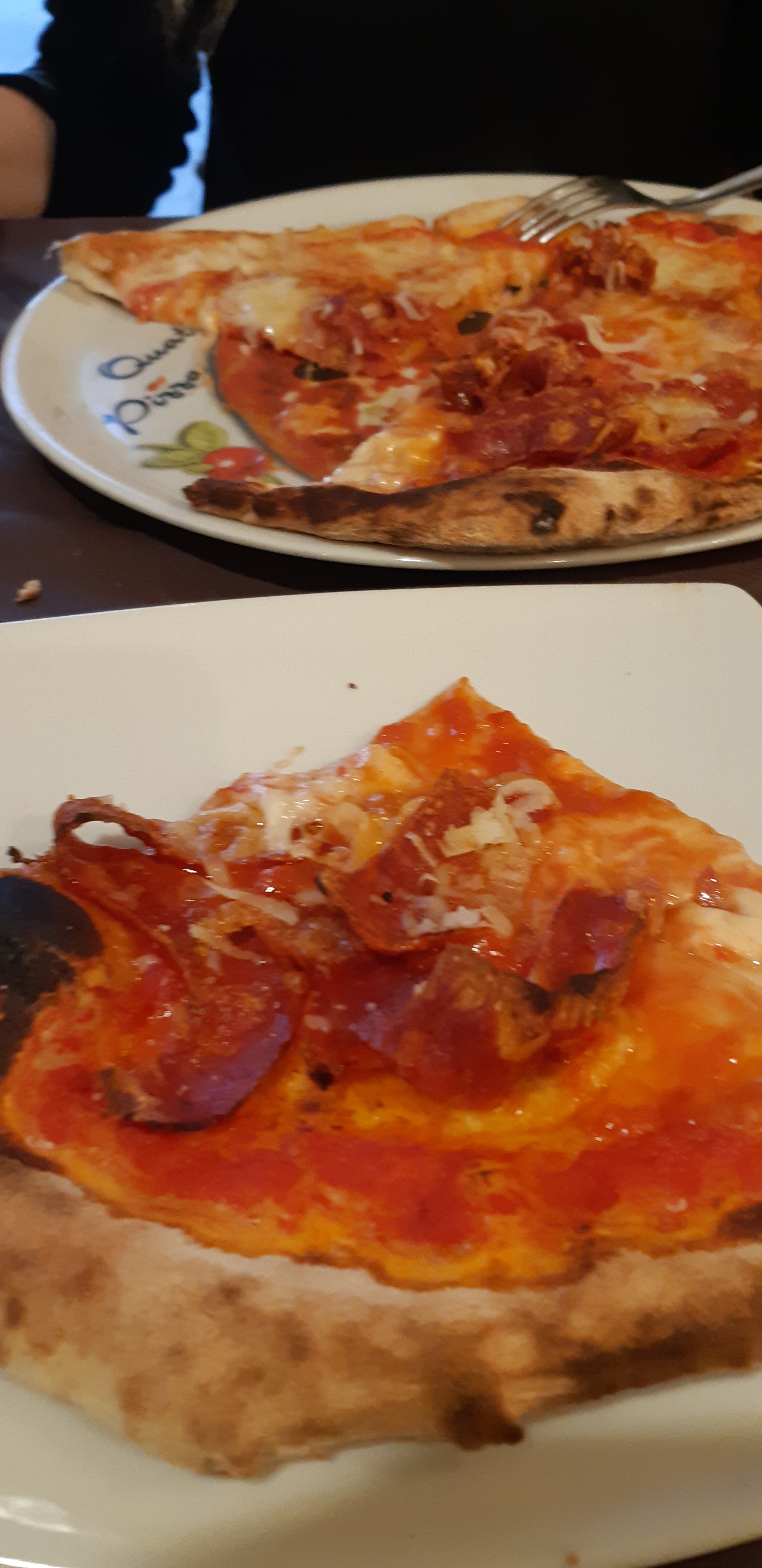
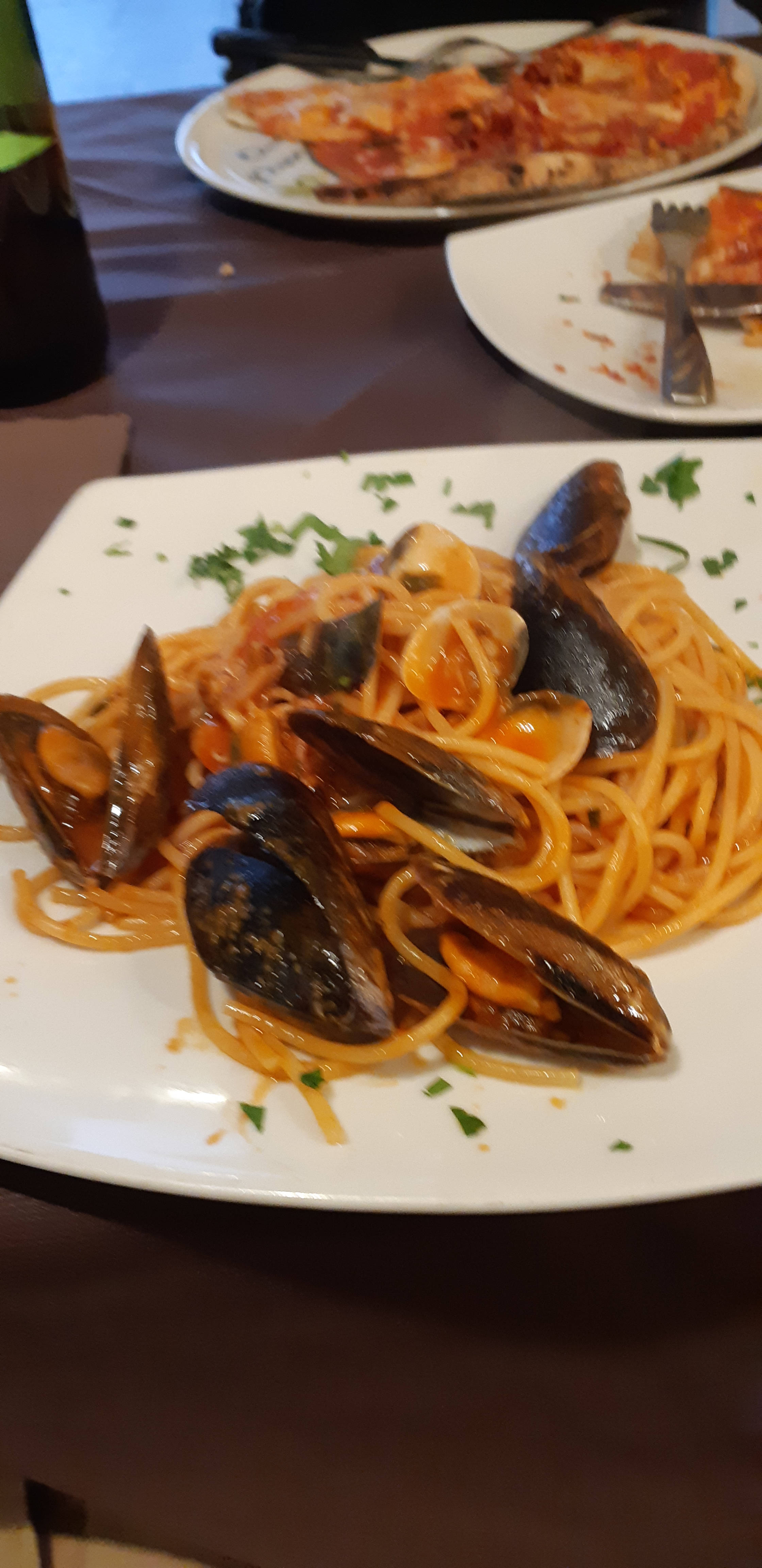
The best pizza Diavola then arrives along with a delicious seafood spaghetti – both tasty, fresh, juicy. Like the best the Pizza Cafe can offer with a bit extra – sorry Bruno.

The staff are loud & friendly & Italian. The place quickly fills up & tables start to hum with different languages. A regular flow of locals pop in to collect their takeaways accompanied by laughter & chat at the counter. It is a great first taste of Calabria.

The moral of this story – never judge a book by its cover!!

Escaping Sirmione

It is the day to come to terms with the Lake Garda ferry timetable.

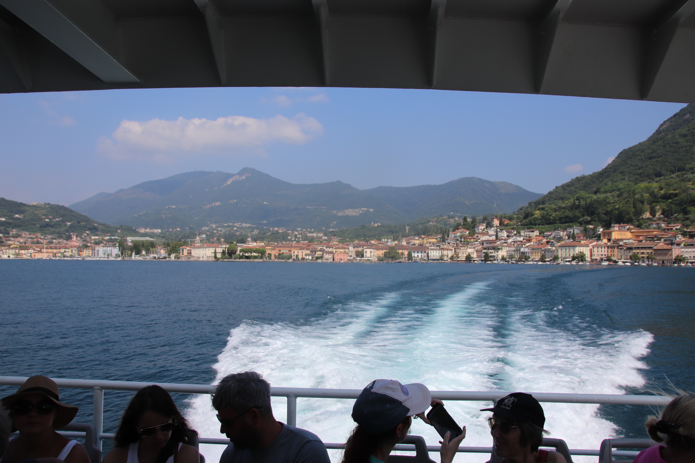
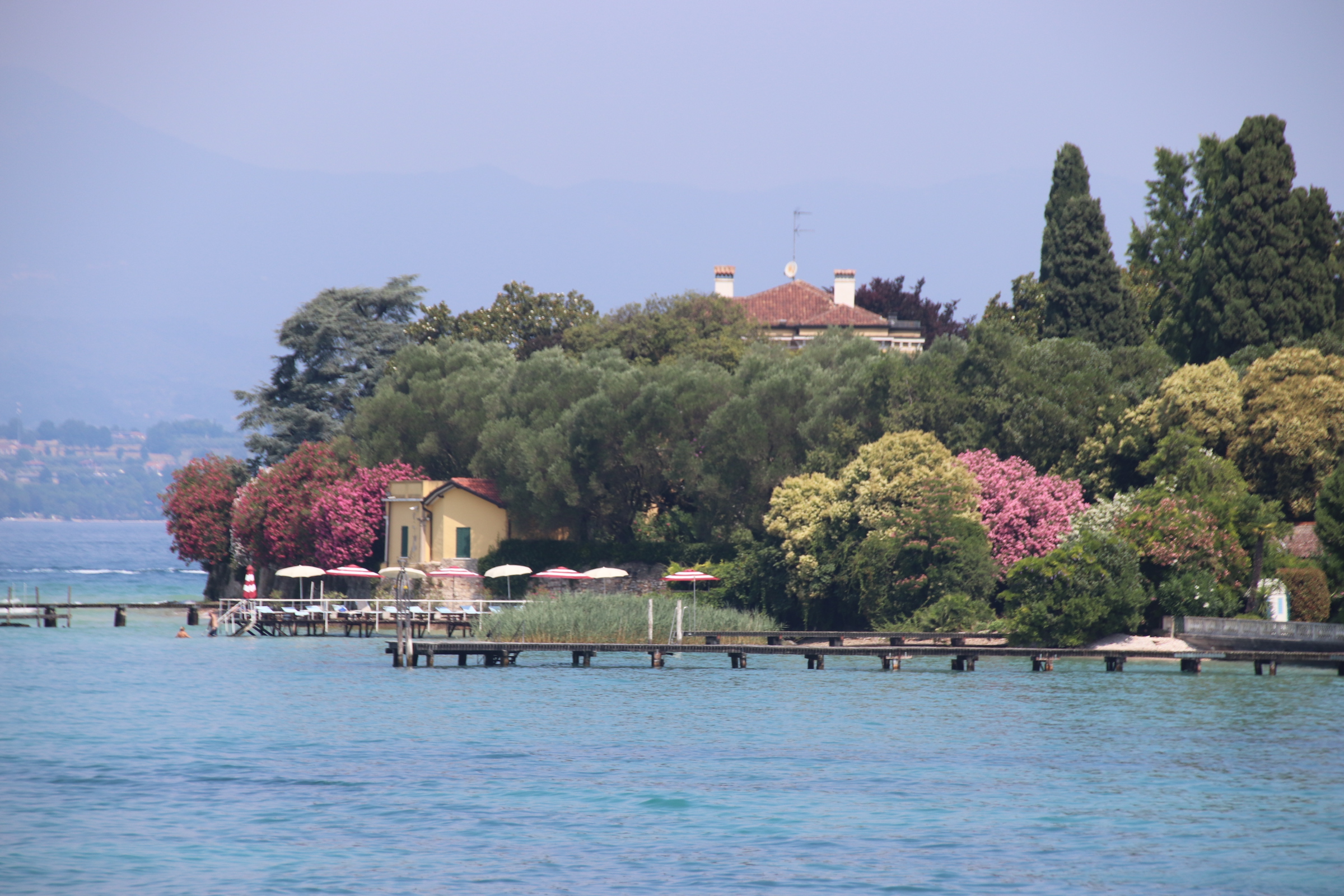
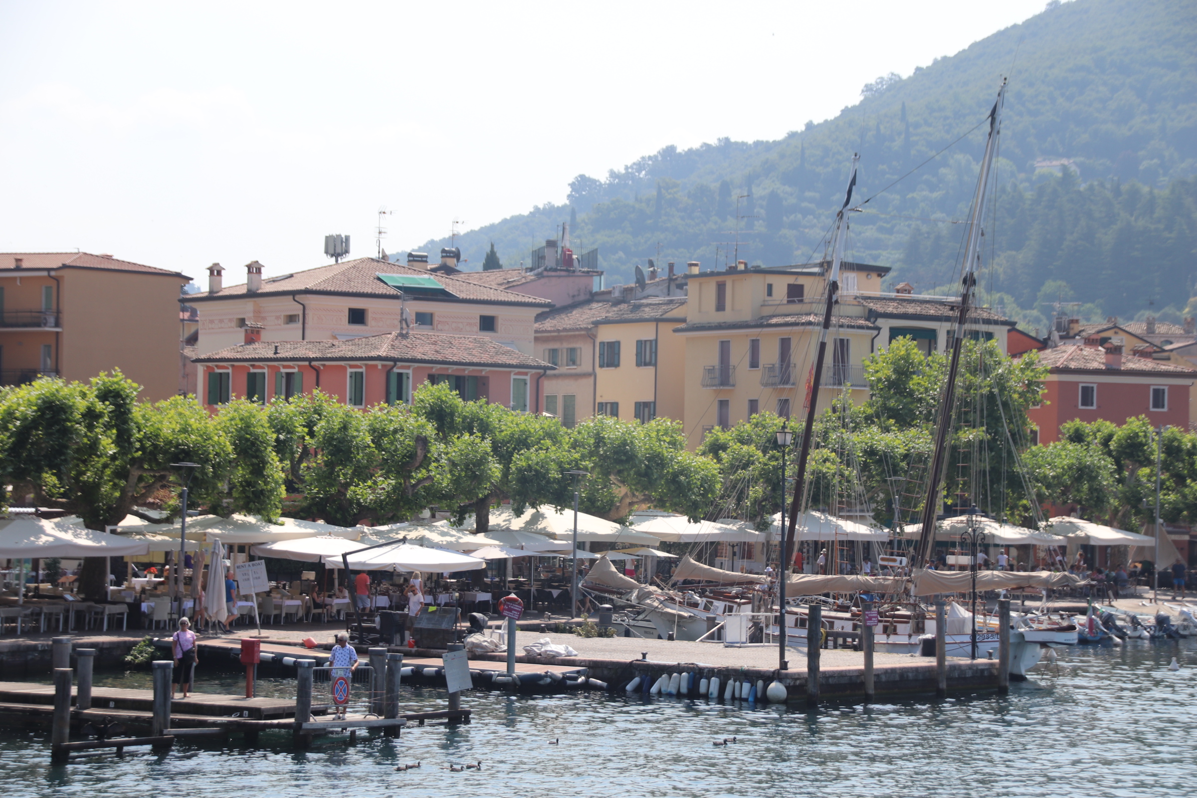
Easy you may say. Yes, but only after careful study. It details all routes from all towns in no particular order other than north to south on one side and visa/versa on tother. An occasional ‘fast’ ferry confuses it more by missing out certain stops and reducing journey times. The danger is that by timing your arrival at one place you then have limited options to get back and if that boat is full, you are stuck for several hours. Luckily this never happened and our journeying was great fun & really cool (in more ways than one – lake breeze ruffling my hair and wonderful views of private islands, elegant gardens, castles & turrets & spires).

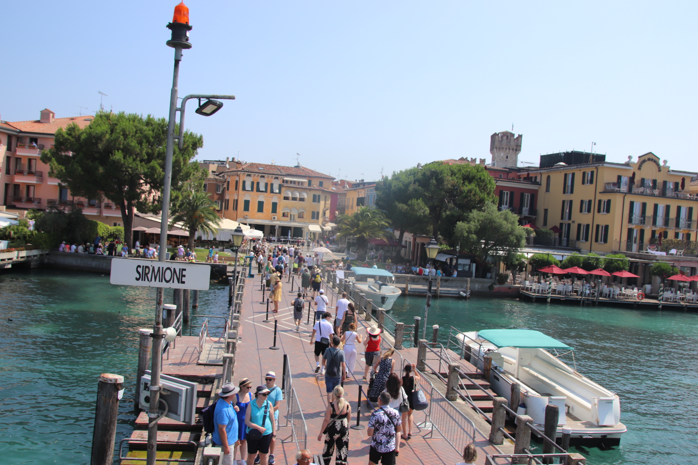
The first journey was down to Sirmione, an hour away on the first, fast boat; a bit of a shudder but glorious sights of lake craft – chugging ferries, elegant yachts, sleek playboy motorboats leaving crisscrossing wakes of leaping horses to mark their routes.

From our crow’s nest on land we can see Sirmione down on the lake in the haze. It lies on the head of a long, thin peninsula that stretches out from the south shore. In Roman times a villa stood here amongst Cyprus trees, olive groves & shaded gardens with thermal baths as company.

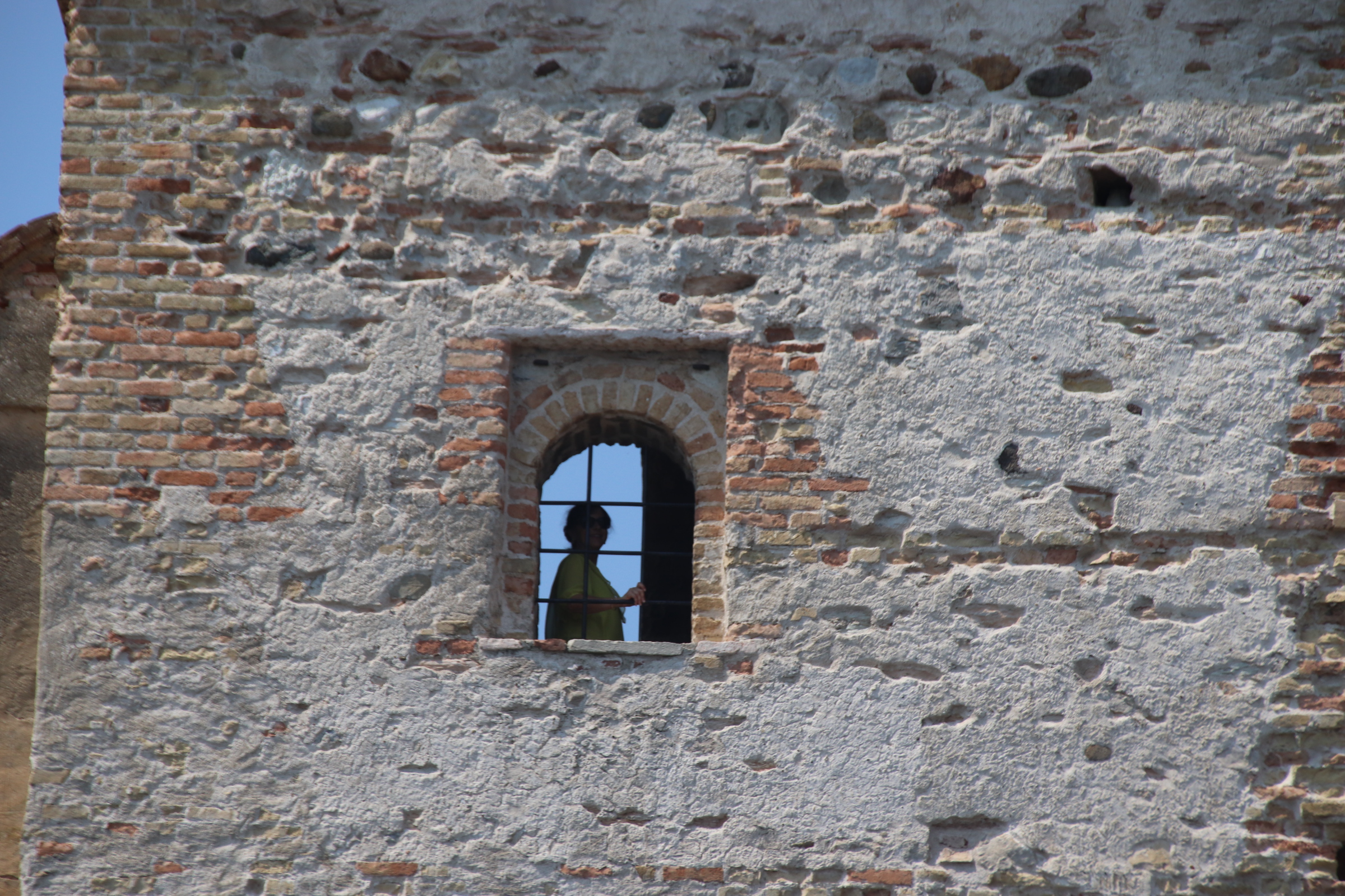
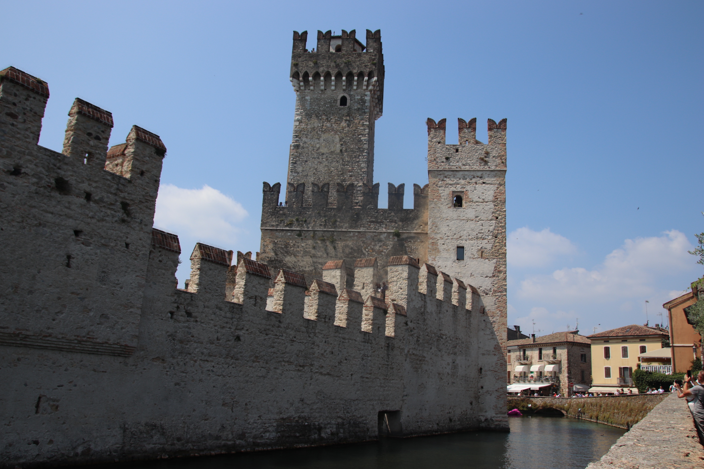
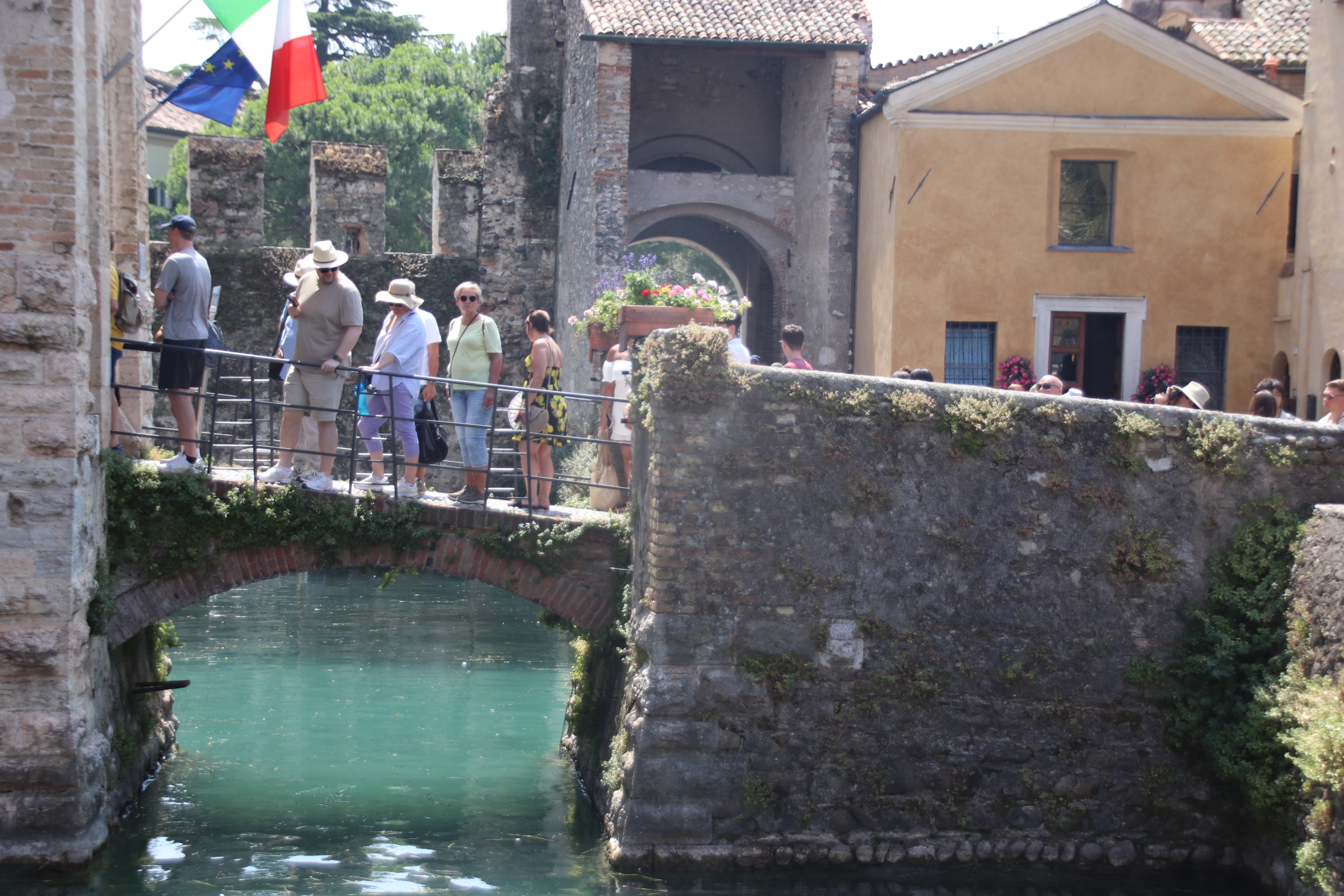
Its unique position was not lost in medieval times when the impressive Rocca Scaligera castle was built with typical castle features – drawbridge, castellated walls, a Rapunzel tower, moat …. oh and a large, bright pink, plastic crocodile.

However, Sirmione is on the radar of every tour operator from Frankfurt to LA and suffers with tourist groups crammed into dusty, hot, cobbled streets. The outside car/coach parks are full & ferries offload their full capacity to contribute to this bad tempered melee.

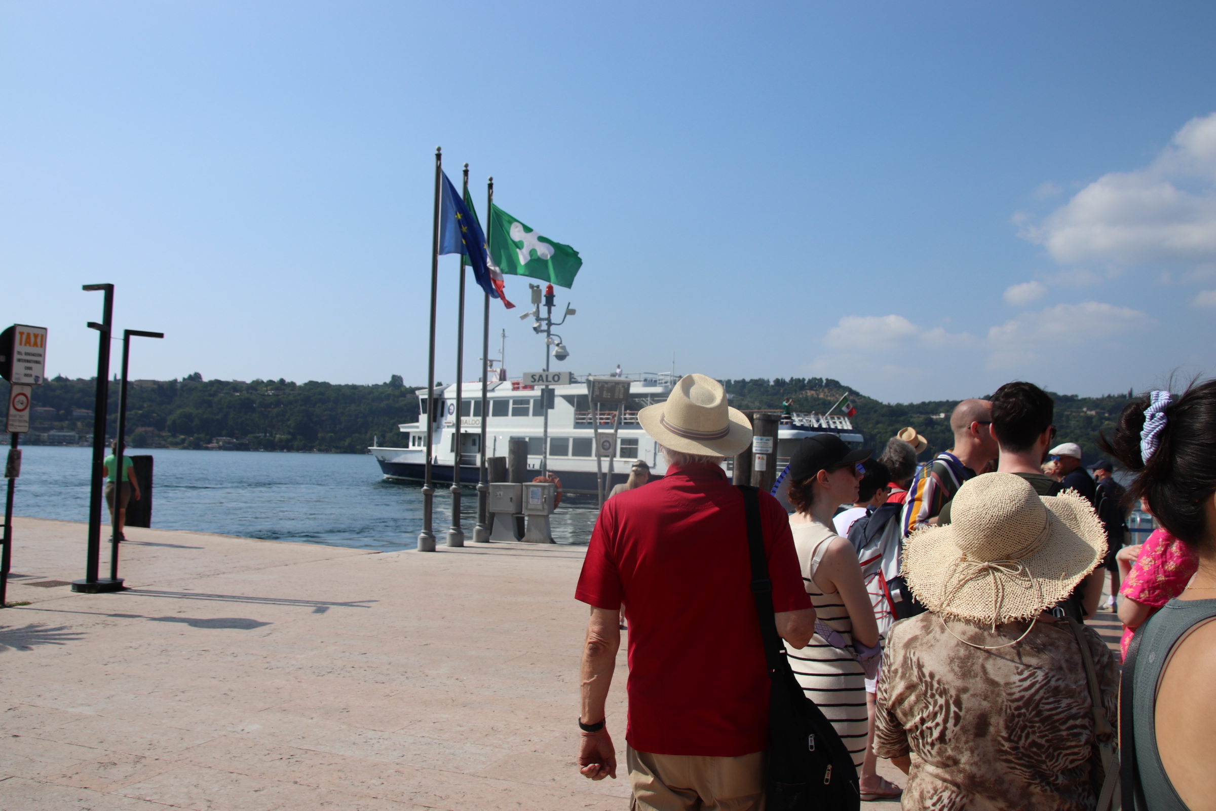
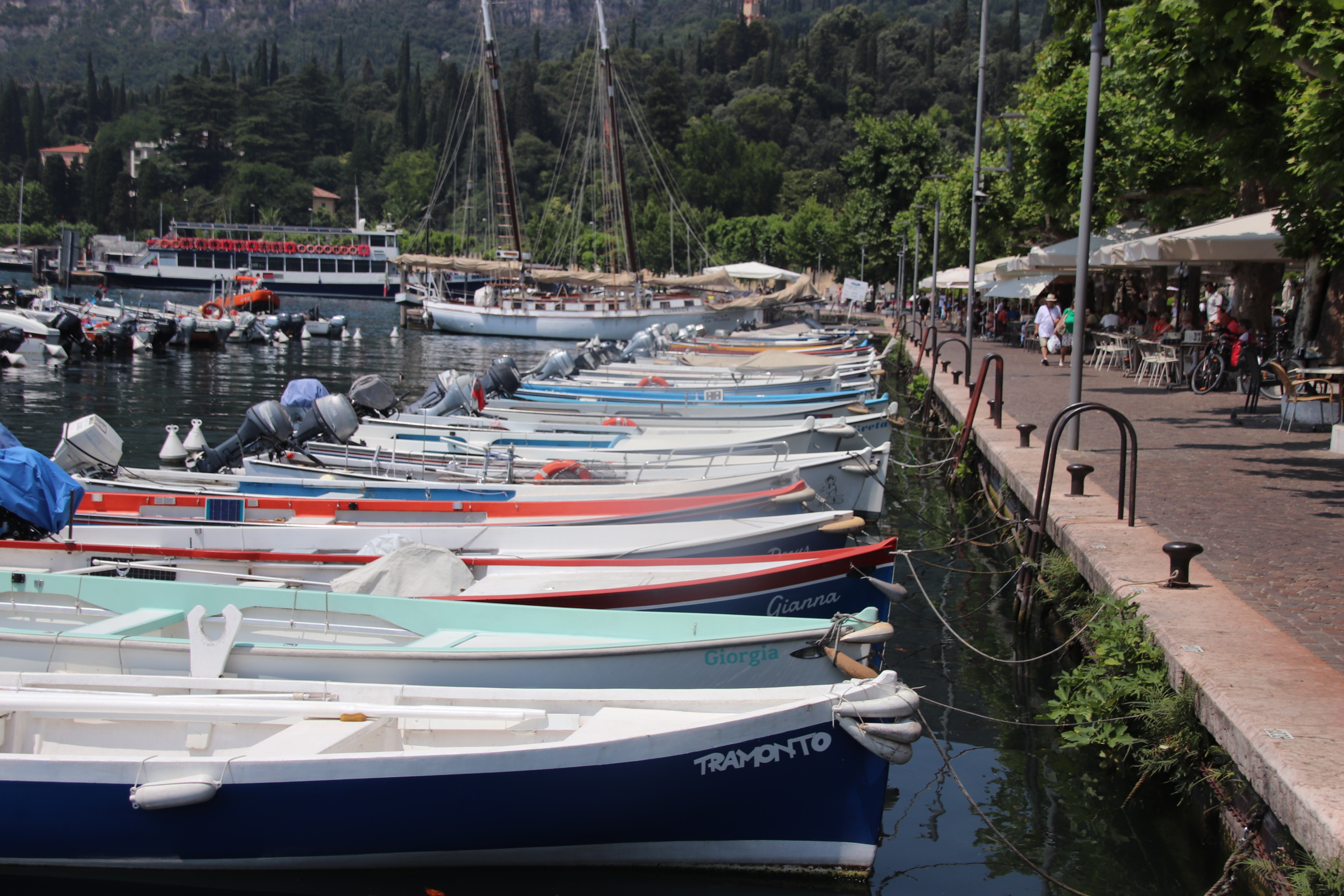
“Quick, consult the timetable. There’s a boat in 30 minutes to Gardone. We can get off there, and wait for the 3.05pm to Salo….maybe grab a light lunch & a glass of wine…….much more civilised”.

Bliss!

The Gardone Riviera & Maderno on Lake Garda

From our perch up here amongst the ripples of breeze that rustle the olives, vines & cypress dotting the hills above the southern part of Lake Garda, one can plan sorties out to take advantage of any cooling effect from lake or wind.

The first bit of exploring took us a few miles up the west side of the lake Late June seems a good time to holiday here. Flowering shrubs are abundant and in full display. Roads are not that busy, parking is easy and the places we came to are very slow & sleepy.

Gardone is a chalk & cheese kind of place. I presume the cheese is the tasty place & the chalk is nothing to write home about. Well, the ‘chalk’ follows the lakeside with very grand, impressive century+-old mansions beside the water on a stretch called the Gardone Riviera. Hmmm; it does not really smack of Nice or le Tropez; all a bit grey & concrete & baked promenade. A solitary tree provides some natural shade half way along the front where refreshments can be found.

Gardone’s ‘cheese’ can be found above on the high lakeside above the line of multi-floored hotels & mansions. Up a picturesque, winding road, past formal gardens and through extensive lawns & strong, overbranching conifers to arrive at a small settlement at the top. The mayor’s office overlooks the lake.

Pass up further through the tidy, narrow streets to the far side of the village where a tiny piazza is enclosed by several small restaurants and the church.

Beyond this is an elaborately sculptured entrance to an open-air venue which hosts a range of modern-day artists and an idiosyncratic motor museum with some interesting figures standing guard!

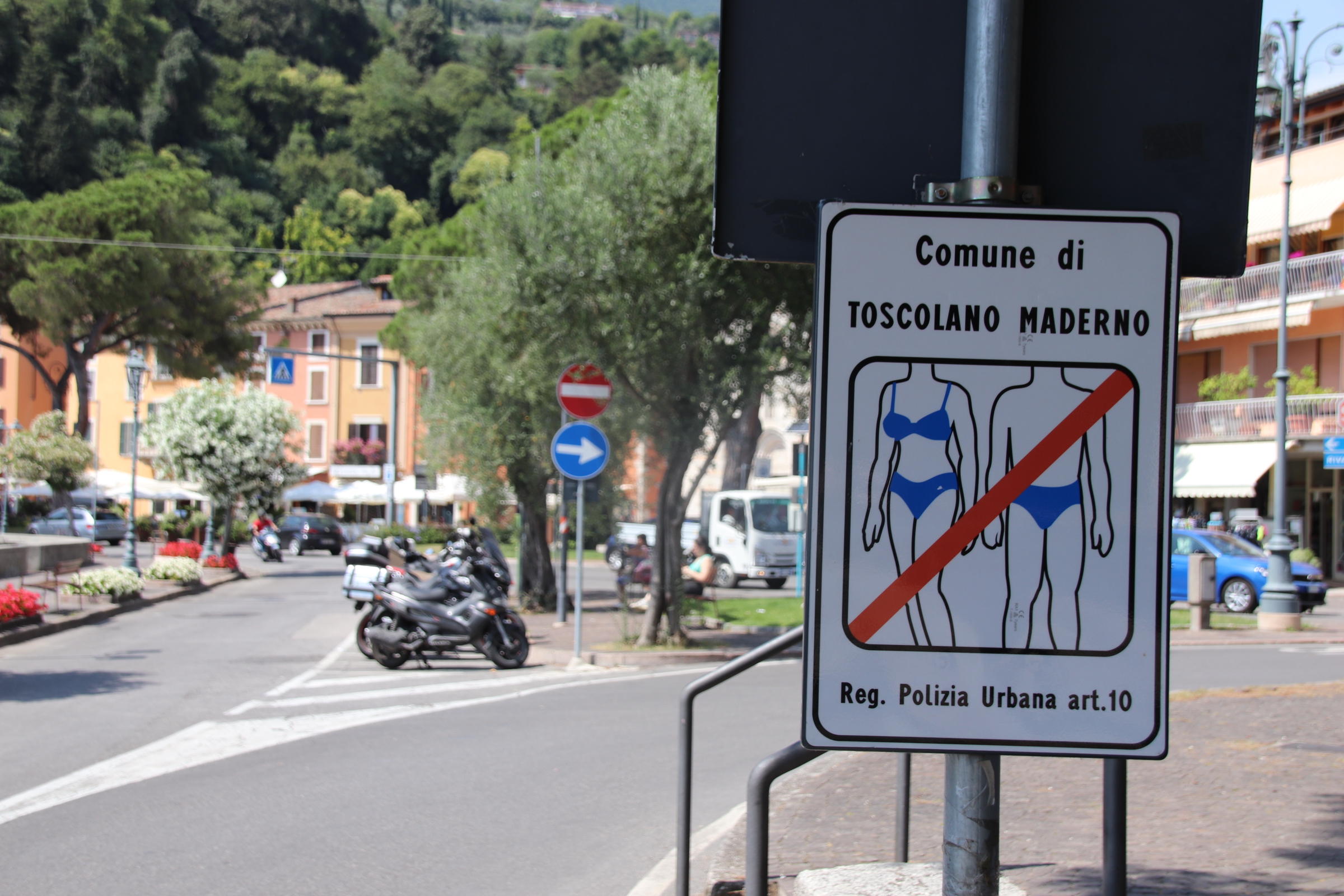
Mardone is the next village up the lake. Fast asleep in the midday sun, it is far too lazy to lift itself out of any heat-imposed slumber. I had to visit to find details of the vehicle ferry across to the east side of the lake and thus avoid the motorway to the south when moving on.

Blazing the coastal trail to Bosa

My biggest surprise in driving the coast road south to Bosa is just how green & flowered the island is.

A patchwork of hay grass, some lying flat awaiting raking, mixes it up with meadow flowers of white & sunshine yellow. Lines of mixed deciduous woodland trees mushroom up alongside stretching olives & the occasional patch of pine. Lightbulbs of flowering gorse blaze in clumps, illuminating the course of a track, the side of the road or highlighting a crag of rocks or a tamed wild rockery. The colour palette is so varied, blues, lavenders, pastel purples, even lilacs thrown in there along with a brief flash of rather garish crimson poppy and all against a background of greens on one side & the turquoises of ocean & sky on the other.

The route attracts bikers & enthusiastic cyclists. For the most part the road is wide, the surface smooth – a joy to drive/ride. There is no room for cafes or bars or tourist tat here; Just the occasional view point where riders can share anecdotes & appreciate the serenity & beauty of the open road & the clear blue sky.

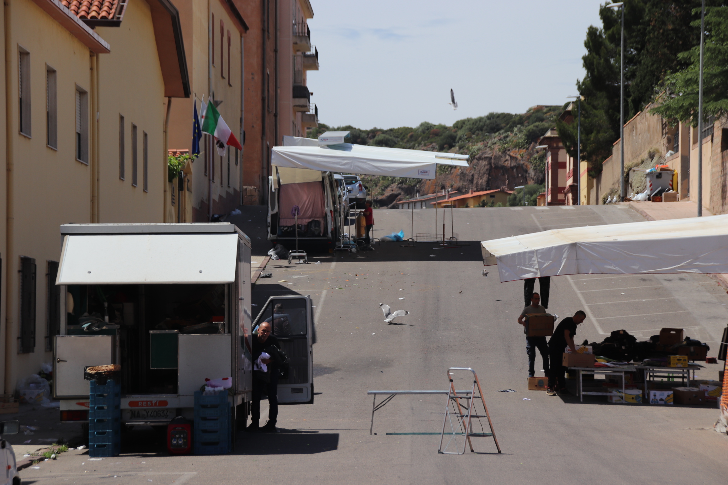
Don’t be fooled by the functional feel of the modern buildings you first meet as you enter Bosa; nor by the very ordinary street market, which by 1pm consists of a few lonely stalls, unloved & seemingly unwanted by their traders.This is one of the most beautiful villages in Italy.

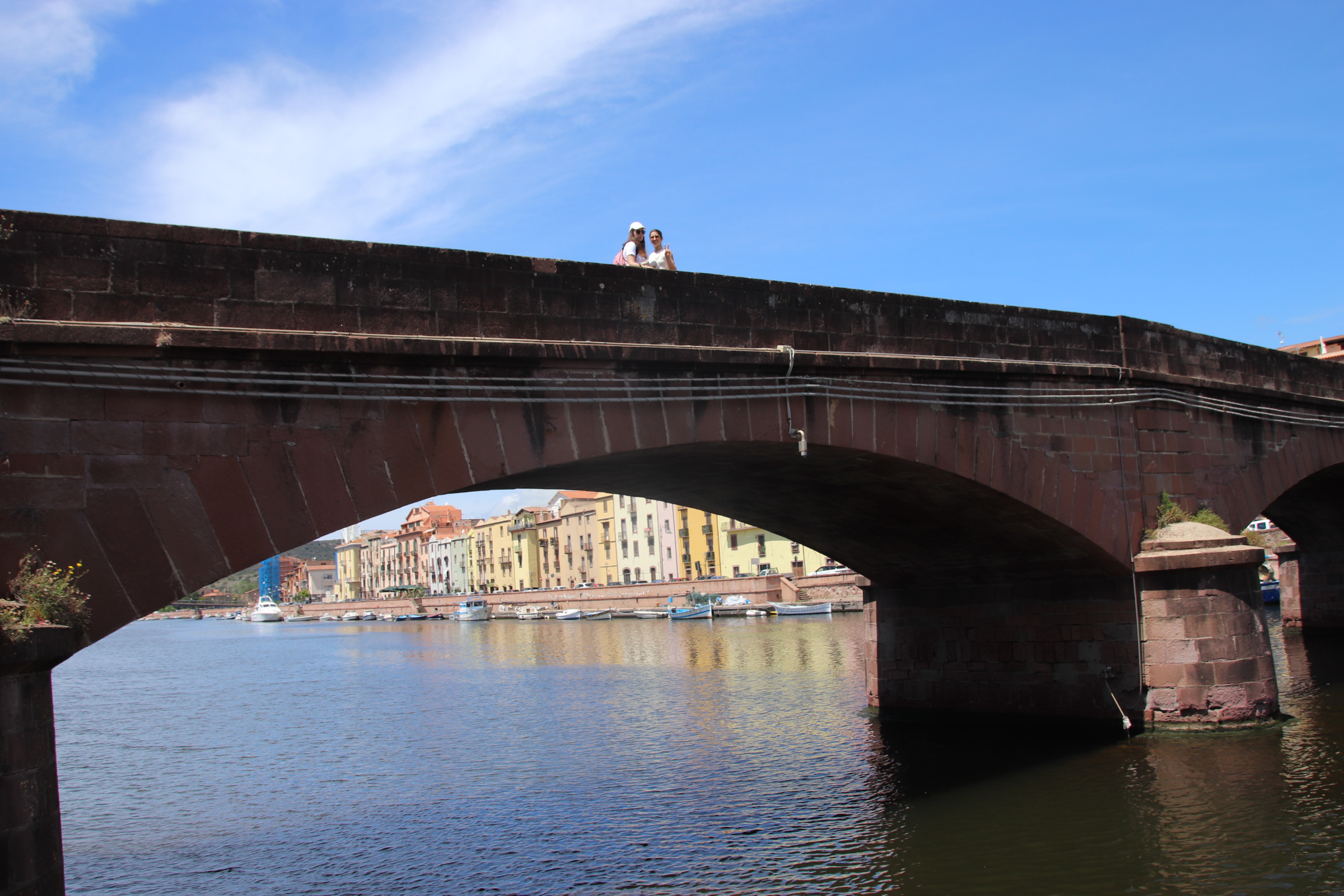
The old town lies at the bridgehead over the Temo River. This meant that it prospered – agriculture was king on the plateaus inland with the water transporting grain & products to & from the coast, whilst the river also provided access to the sea, and fishing and trade created wealth from the surrounding ocean.

Ignoring the gate keepers at the small restaurant gurding the entrance, head into the maze of narrow cobbled streets/alleys of the old town.

Here, the multi-storeyed terraces stretch so high above that the shadows reign supreme and the sun has no hope of surviving down at street level.

The river is lined on both sides with buildings dating from past times – on the far side mostly warehouses stretch in an unbroken line from the bridge towards the sea. Opposite, warehouses share the riverside with merchant’s houses.

Domes, steeples flaking facades peer over each other and jostle for position alongside the bank providing a textured backdrop of colour, texture & position.Above the village, the 14th century Malaspina Castle stands guard, protecting the village from ancient enemies & invaders.

Alghero mixes it up with cobbles & squares on the island of Sardinia

Having landed in Olbia on the north-east of the Italian island of Sardinia late on Saturday night, we negotiated the intricacies of a hybrid hire car with only 1,500km on the clock, the small digital display of Google maps on a phone & light RAIN through dark streets to reach our first night’s accommodation. Our mood was not lightened when we were unable to remove the key from the door once I had pushed it open & the lovely night porter could find no other rooms to offer us. Chairs were used to prop the door closed overnight.

The following day required a couple of hours drive the town of Alghero on the west coast. I expected inland Sardinia to be like Corsica so it was a pleasant surprise to drive long straight dual carriageways through wooded flatlands of flower carpets & fresh leaved trees. In the distance ridges & peaks of the inland mountains kept us company.

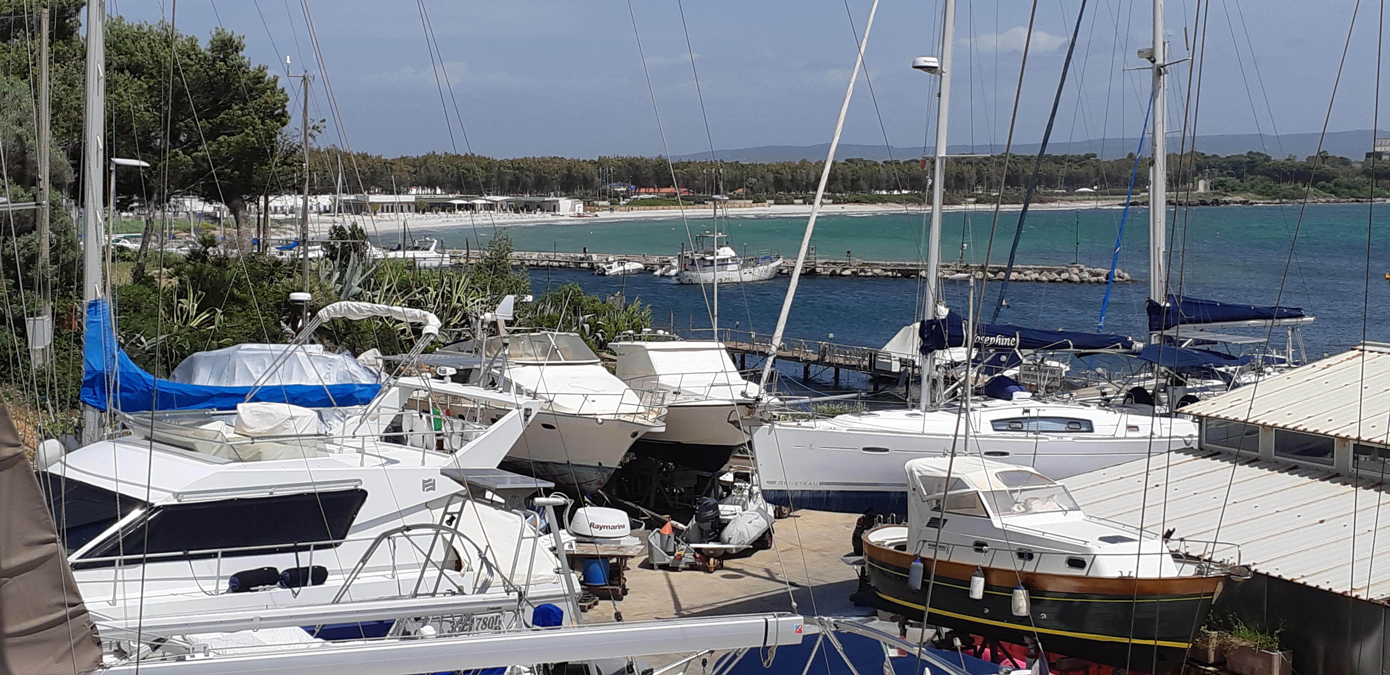
Approaching Alghero from the north gave us our first taste of Sardinia’s glorious beaches. Well, it has to be said that it was a bit of a before & after. The road runs right beside the water. At beach number 1 the winter winds had dumped copious amounts of seaweed on the sands to dry in huge clumps.

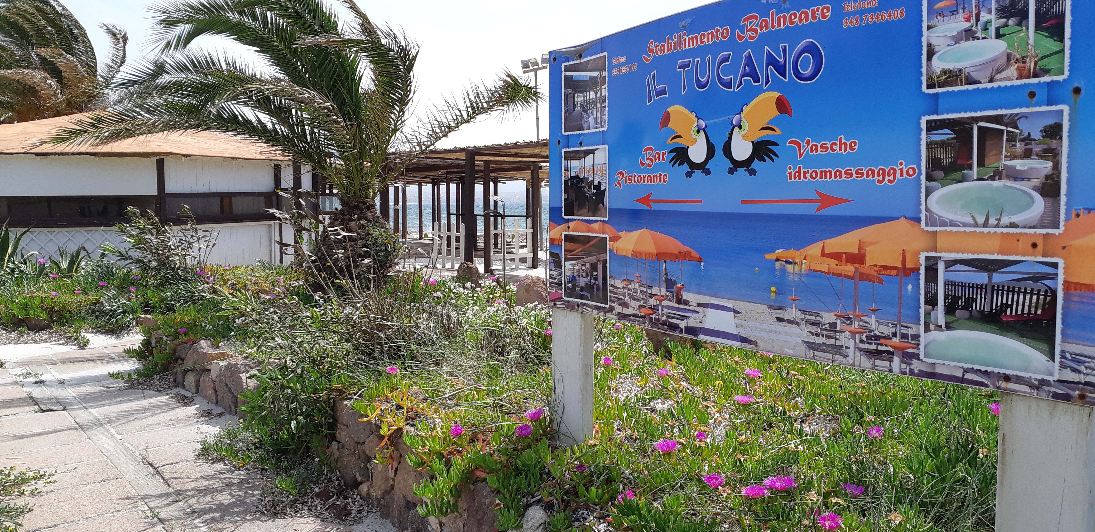
We were assured about the coming summer by this poster behind the beach:

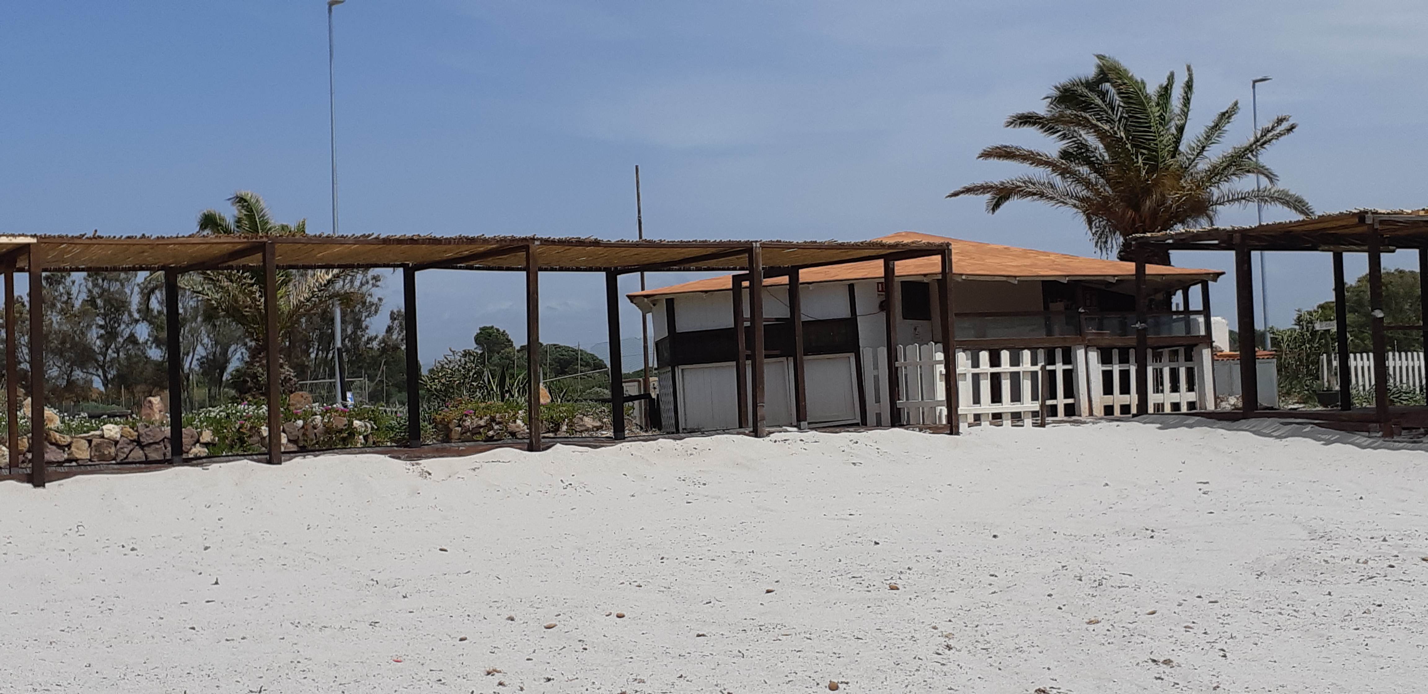
Beach number 2 had no such obstacle preventing access to the water and we spent a couple of hours taking in the sun & watching the antics of the high-flying kite surfers.

Old Alghero is surrounded by typically functional, modernish buildings for commerce & housing. The city was founded in the early twelfth century. The Aragon crown first expanded the port. The Hapsburgs then colonised the Island, and Alghero in particular. The ancient curtain wall with its strong battlements connects impervious towers and piers to circle around to face the sea.

Within it, a maze of cobbled streets are lined by dusty, medieval buildings with low doors & tight windows. History & tourist tat ( the most apparent being copious amounts of red coral artefacts) combine to to pull in large numbers of visitors. The sun finds it really hard to penetrate these historic streets, only succeeding where attractive squares open up to umbrellas, cafe/restaurant tables, gelatine stalls, imposing churches & chapels.

Quintessentially French

A circular route takes us into the high country. Narrow roads, so well maintained & surfaced clawed across the landscape to the far, faint horizon. Mixed woodland, girding its loins to begin the change from green to brown to bare, covers straight ridge lines and sharp-sided valleys across the spreading landscape in subtle shades and interlace their fingers like a congregation of parishioners about to settle into prayer.

The weather drops a very wet load on this land, particularly in winter when the snow & ice melt. Streams & rivers have cut & hacked away at the land over the years leaving evidence of the power at work in the form of gushing torrents, sharp ridge lines or bottomless ravines. Man does the best to cope with such obstacles, building bridges & settlements at suitable places in an attempt to tame it.

Villages are small and ancient; old lanes & trails, designed for another age when feet and the cart were the main form of transport, hug the valley sides or crawl to the top to peer over to follow the chicanes down to the distant settlement far down at the next crossing over a tumbling water course. In places, the old tracks can be seen cutting a bend or smooth modern tarmac has been layed over the ancient route, providing a wonderful course for speeding motorbikes. Settlements can be too small to even mention – a handful of houses clustered around a small church & maybe a graveyard, but some grew to be essential to folk of the time – around here it was to provide sanctuary and respite to those passing on the Pilgrim’s Trail.

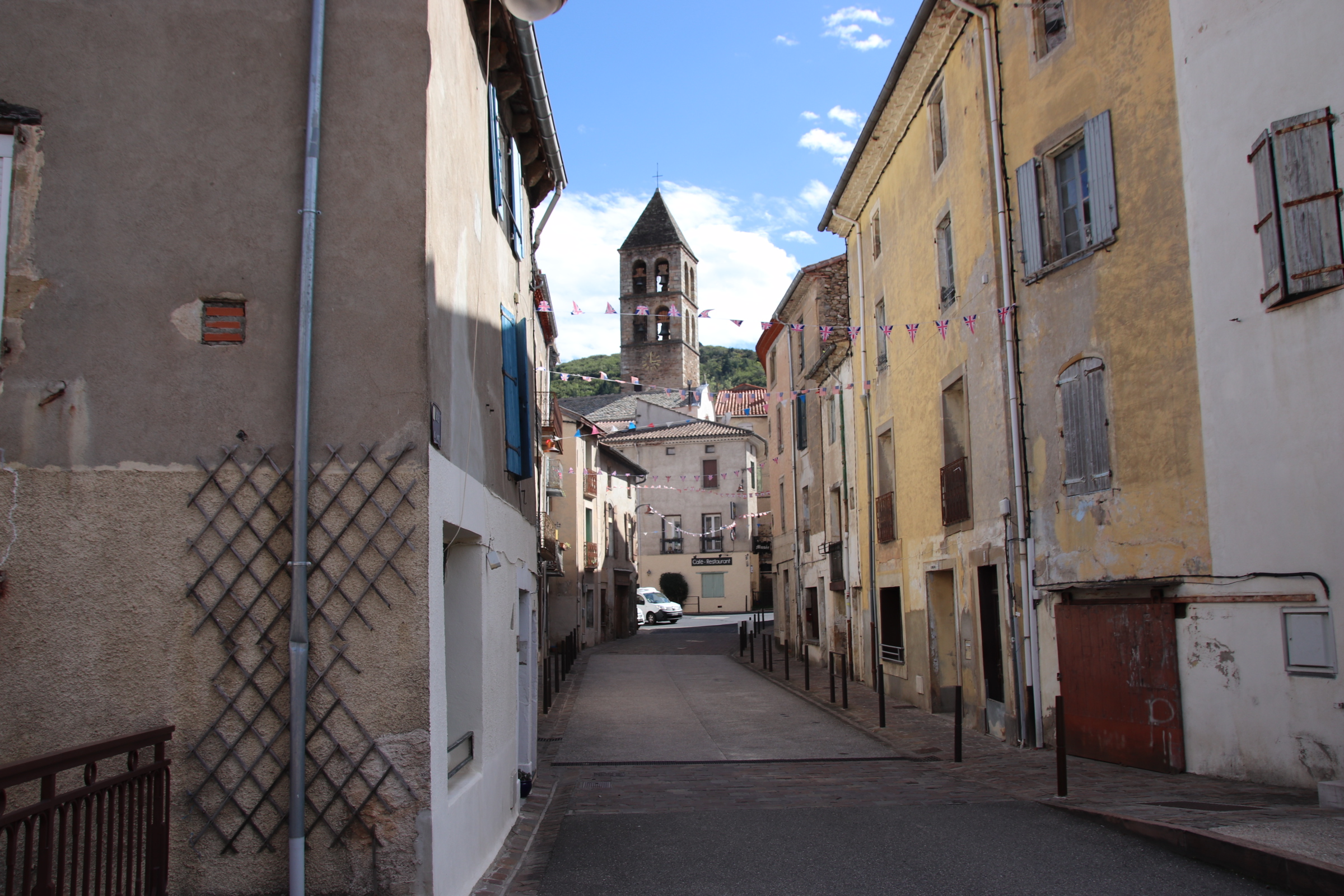
St-Gervais-sur-Mare is a stunning little village that grew up in the 13th-century as a staging post on the route to Spain.

A largish village, it is dominated by the nave of the church of Saint-Gervai-Saint-Protais. Wide, ancient steps lead up past the arched doorway and historic dwellings to the ramparts & the château.

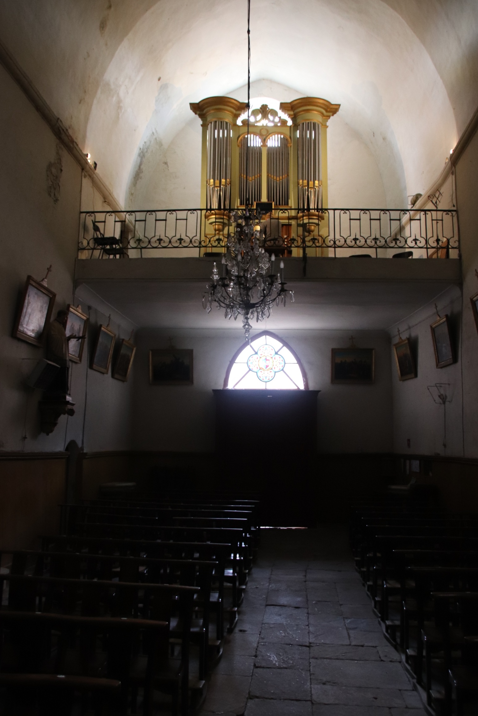
Peeking inside the historic church, an old lady follows us in and points out in local, incomprehensible French a side chapel containing a font made from the same marble as used in Versailles by French kings (I think!). She turns out to be the organist – having left through the front door, she appears up on the organ loft & proceeds to give a private rendition of some wonderfully poignant piece that echoes around this empty space, leaving emotions exposed and senses shredded.

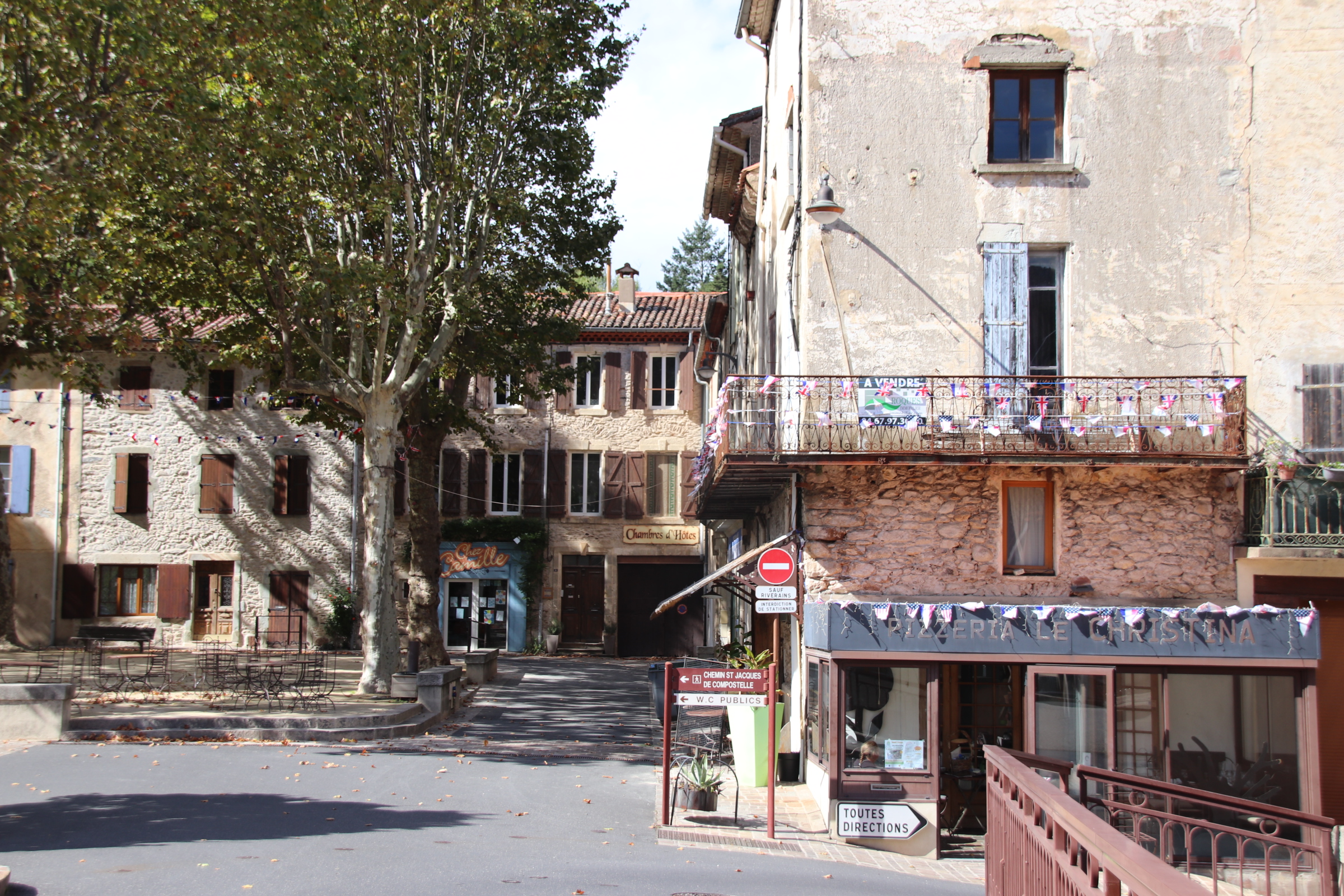
The high spot of this place is the village square. stands on above a small river that runs through the middle of the settlement.

If any place is quintessentially French, it is here.

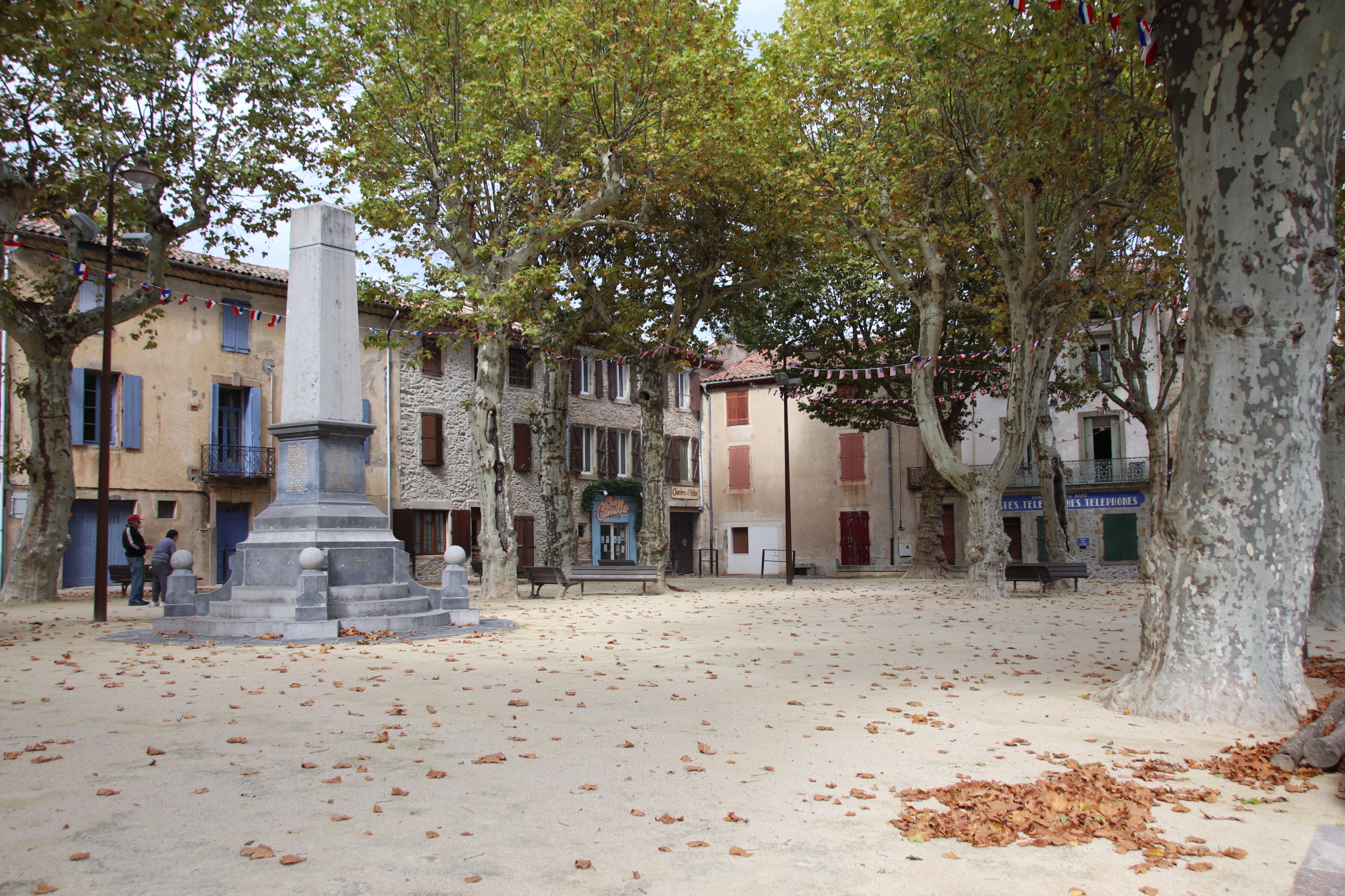
Elegant buildings form 3 sides, with the Post Office, two bars & a hotel tucked into one corner & at the other corner of the same side a second bar;

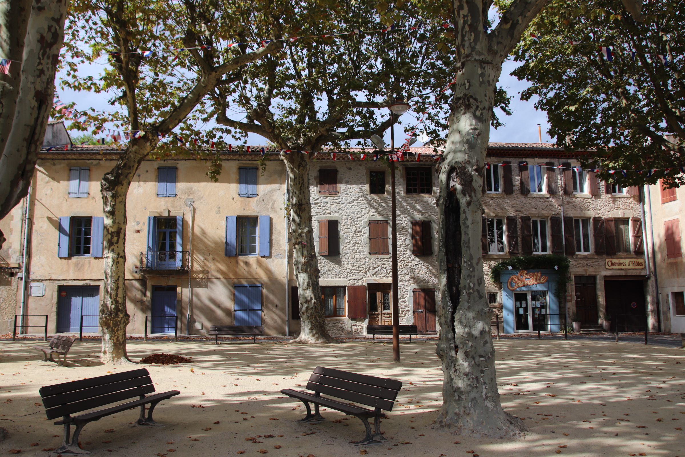
empty tables with rather ornate chairs, cushions piled up under cover, await ’the rush’ (although, I’m not sure there’s going to be one any time soon)

a war memorial reminds everyone of the nation’s past; shade is provided by staggered plane trees – high & impervious to sunshine & showers.

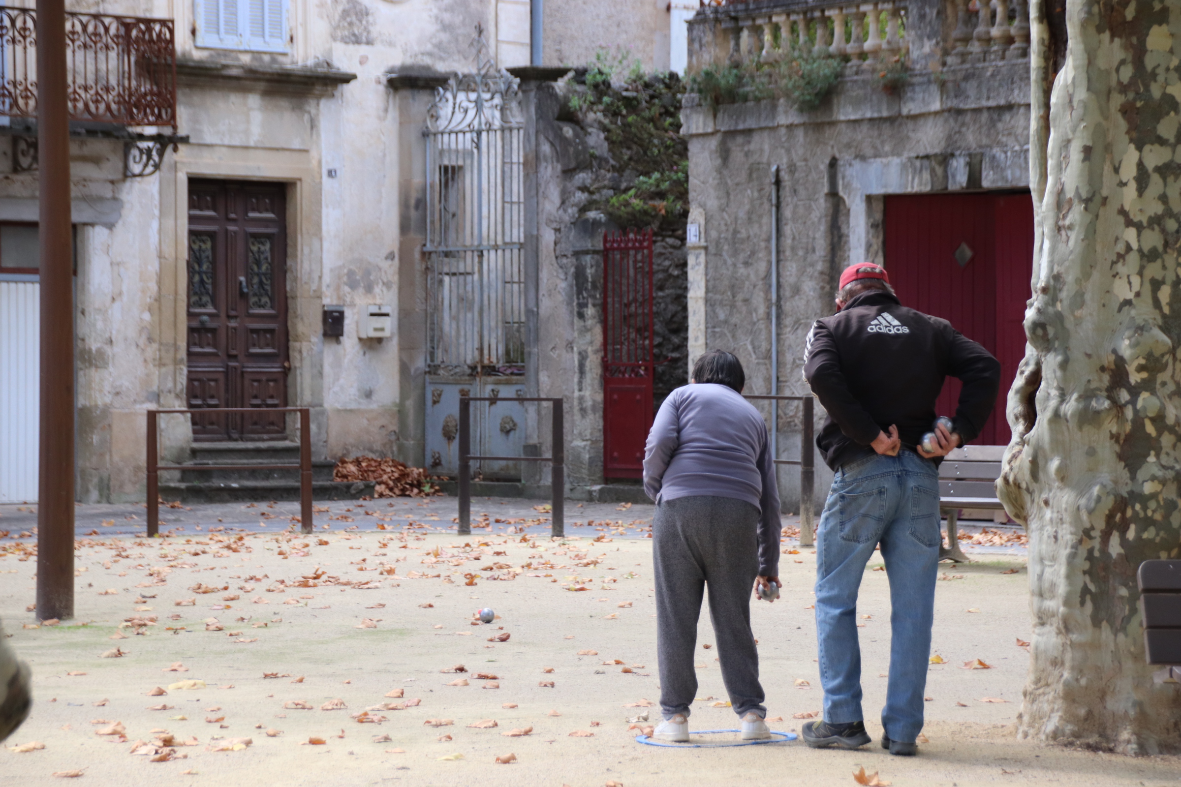
To complete the scene an old couple come out for a game of petanque, chatting away and traversing across the crunching stones between camouflaged trunks, clunking their boules as they go…. all so French!

The Cevennes & further afield in southern France

It seems like ages since I last blogged on my travels and even longer since I visited ‘La belle’ France. This autumn trip takes me from the Cevennes on the south east area of the Central Massif, across the Rhone to just north of Toulon to a market town called Lourges and then north to friends near Manosque – all excellent wine growing areas you will notice!
My love affair with France goes back decades but I was introduced to The Cevennes by my dear friends, the family Friends, who completely by accident, had discovered Barjac when they broke down on the autoroute and they had to have it towed to a campsite outside the town where it still remains, drawing families & friends for memorable holidays ever since. I have countless memories of my girls & pals splashing & swishing about in The Gold River & the streams & lakes in the dry Provencal landscape, canoeing down the Ardeche or the Ceze and meandering drives through the Provencal landscape for a night visit to Avignon or a day treat to Saint-Remy-du-Provence, all indelibly ingrained into my very being.
Back at the hacienda, after food had been consumed the Cote du Rhone continued to flow and we would lie back and stargaze & count the numbers of shooting stars on show each night, absorbing the aroma of wild oregano & rosemary and the wafting lavender fields that were grazed by the breeze and sifted over our receptive senses in a constant perfume. In the darkness the clear outline of the distant Cevennes could be always picked out against the glories of the spinning stars. During the day these layered, straining landscapes provided a constant backdrop to everything that we did, offering the possibility of adventure and excitement, but always too far away – until today, that is!
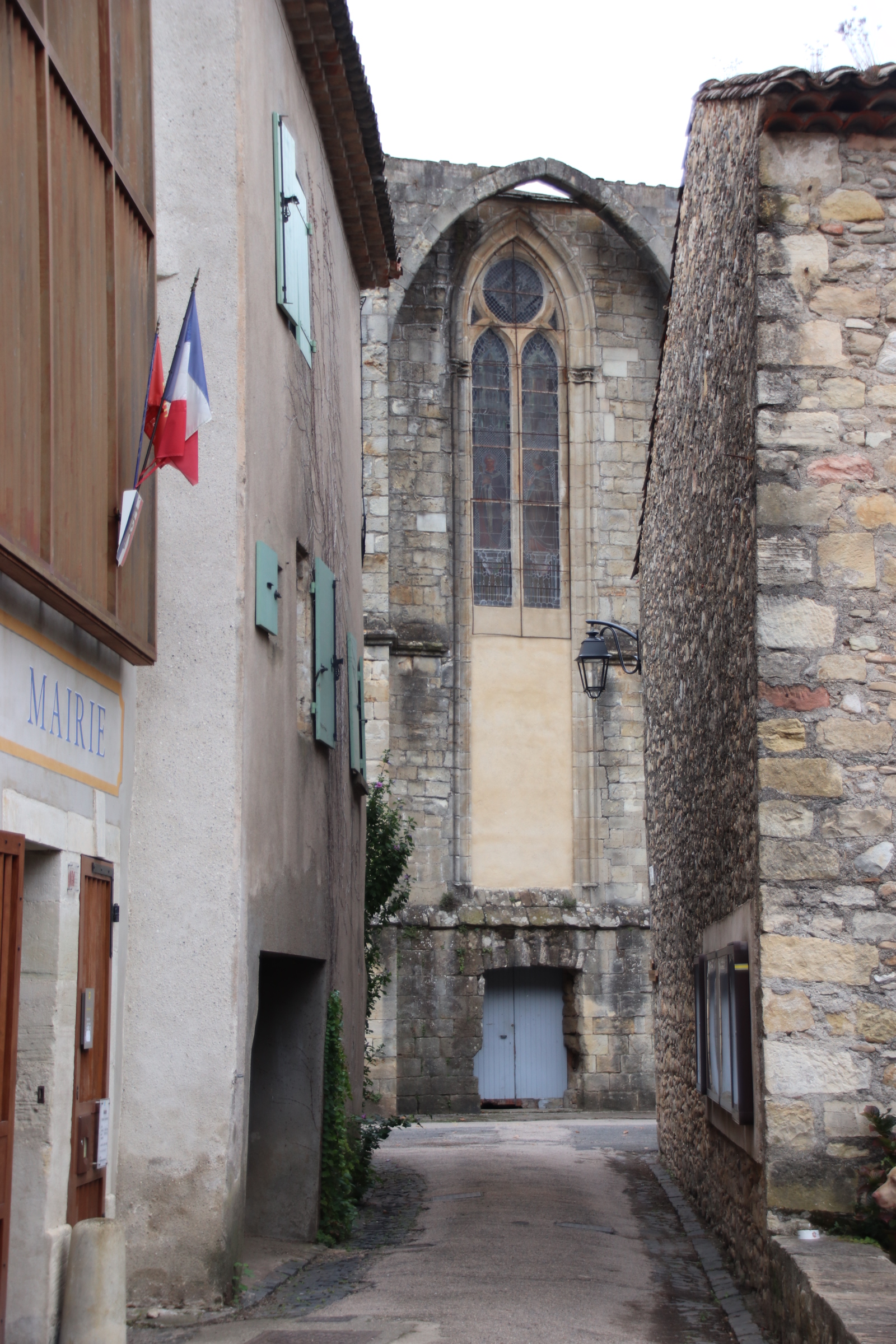
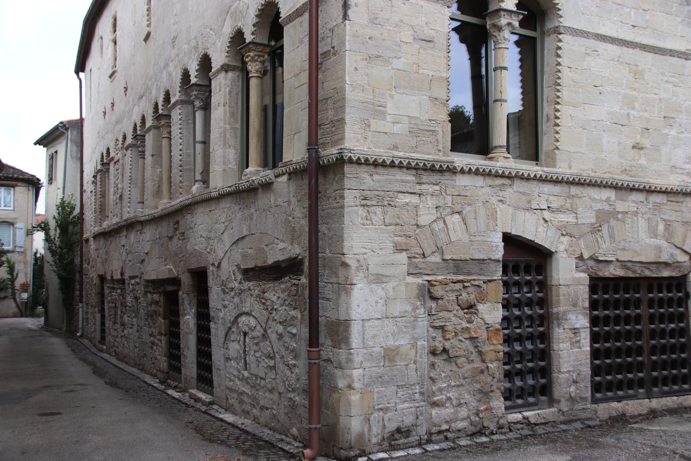
This trip starts on the edge of the Cevennes National Park just outside the small village of Villemagne l’Argentier in the Languedoc region of France about 30 km north of Bezier.

Established on the banks of the Mare River in medieval times, this ‘Abbey city’ lay on the pilgrim route to Santiago de Compostela & provided rest & refreshment to pilgrims on their way to Spain. Three buildings are listed and still standing & in use – the 11th century Church of St Gregoire,

the 14th century Saint Majan Abbey

and the 13th-century Hotel des Monnaies, now used as the Town Hall.

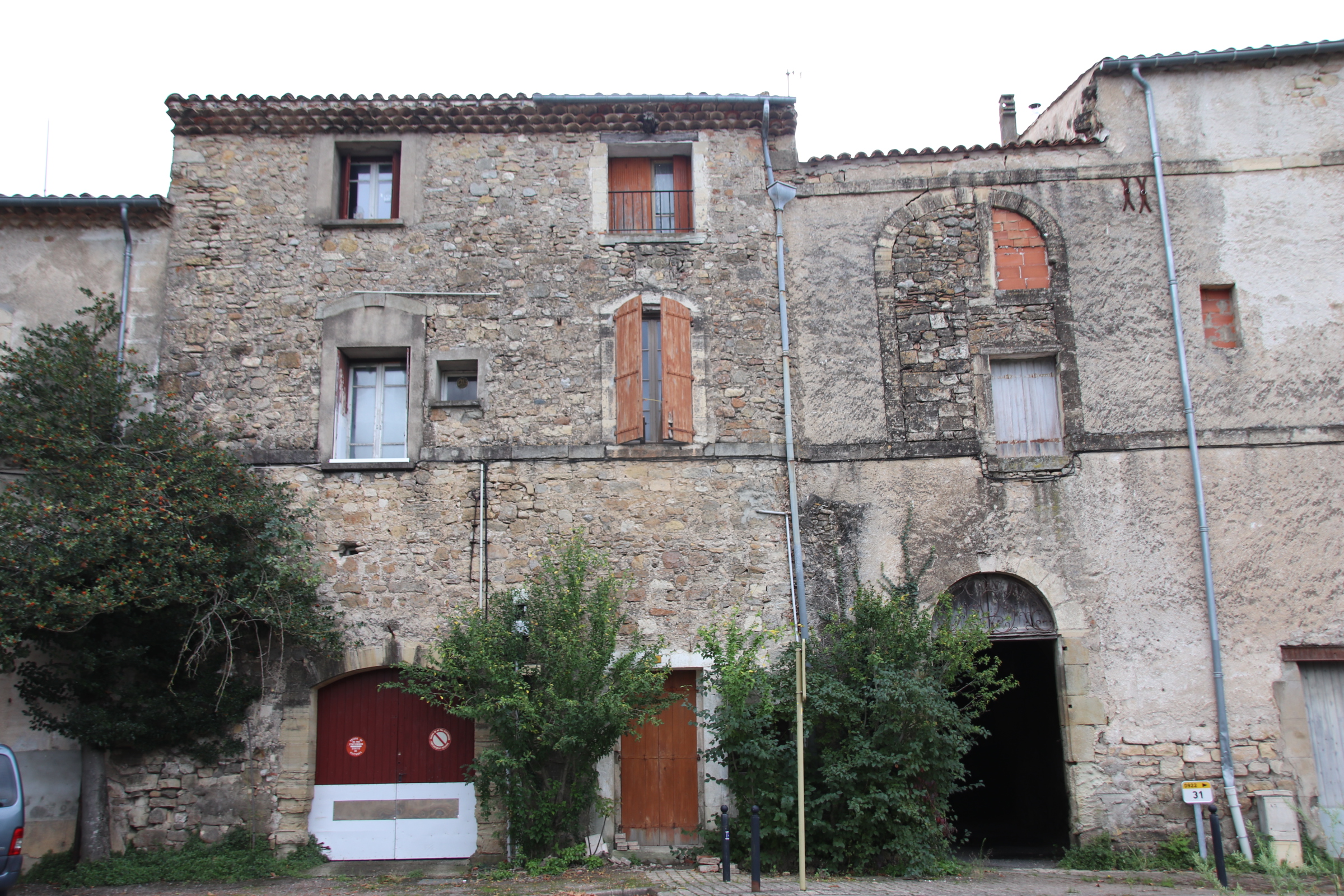
Over the centuries the Abbey has been the main force in the village and across the surrounding landscape. Wandering around the narrow lanes of 13th-century buildings little has changed since those early days – the only thing to suggest that times have moved on is the shiny gleam of modern vehicles parked outside cold, ancient facades.

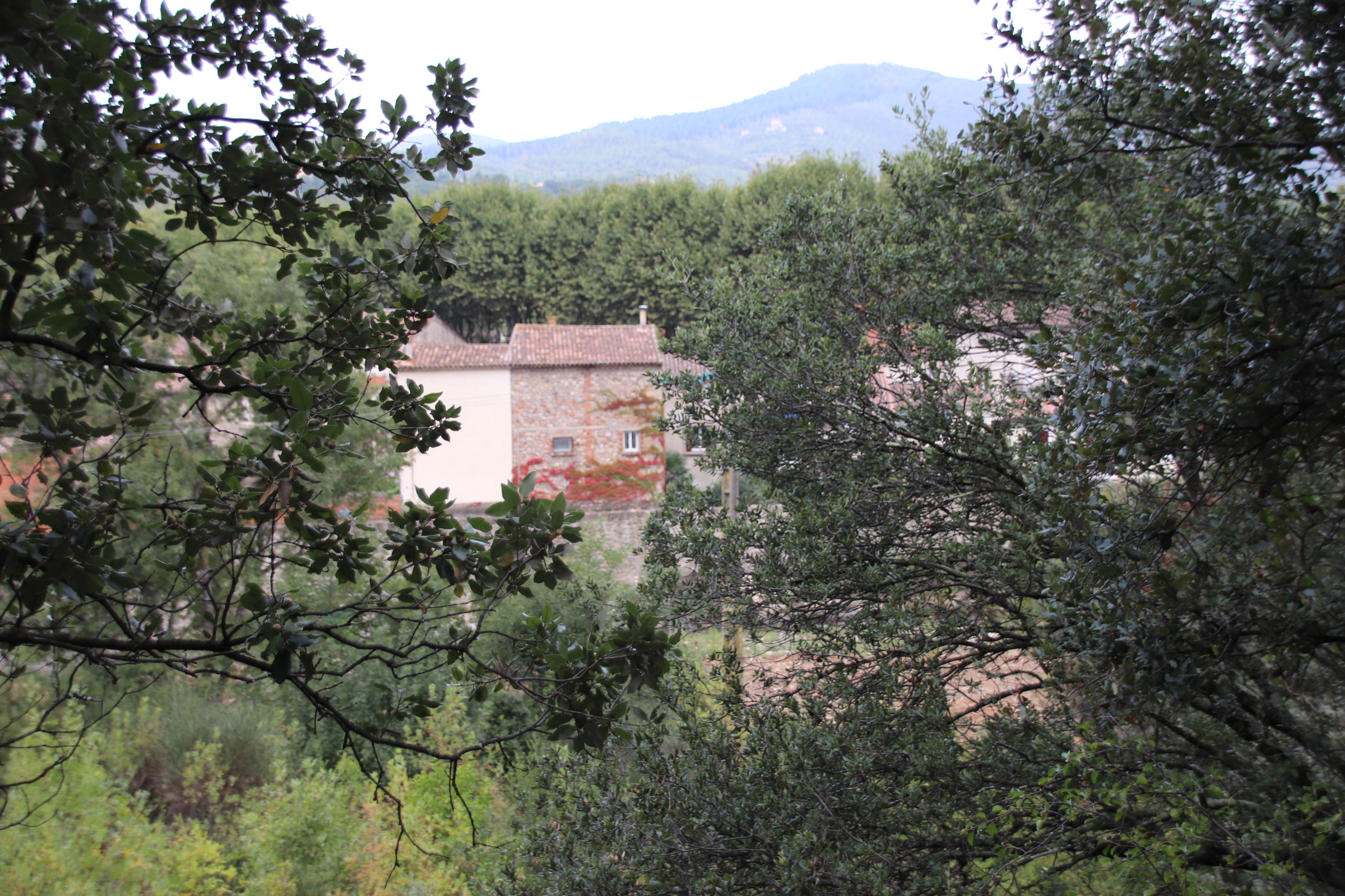
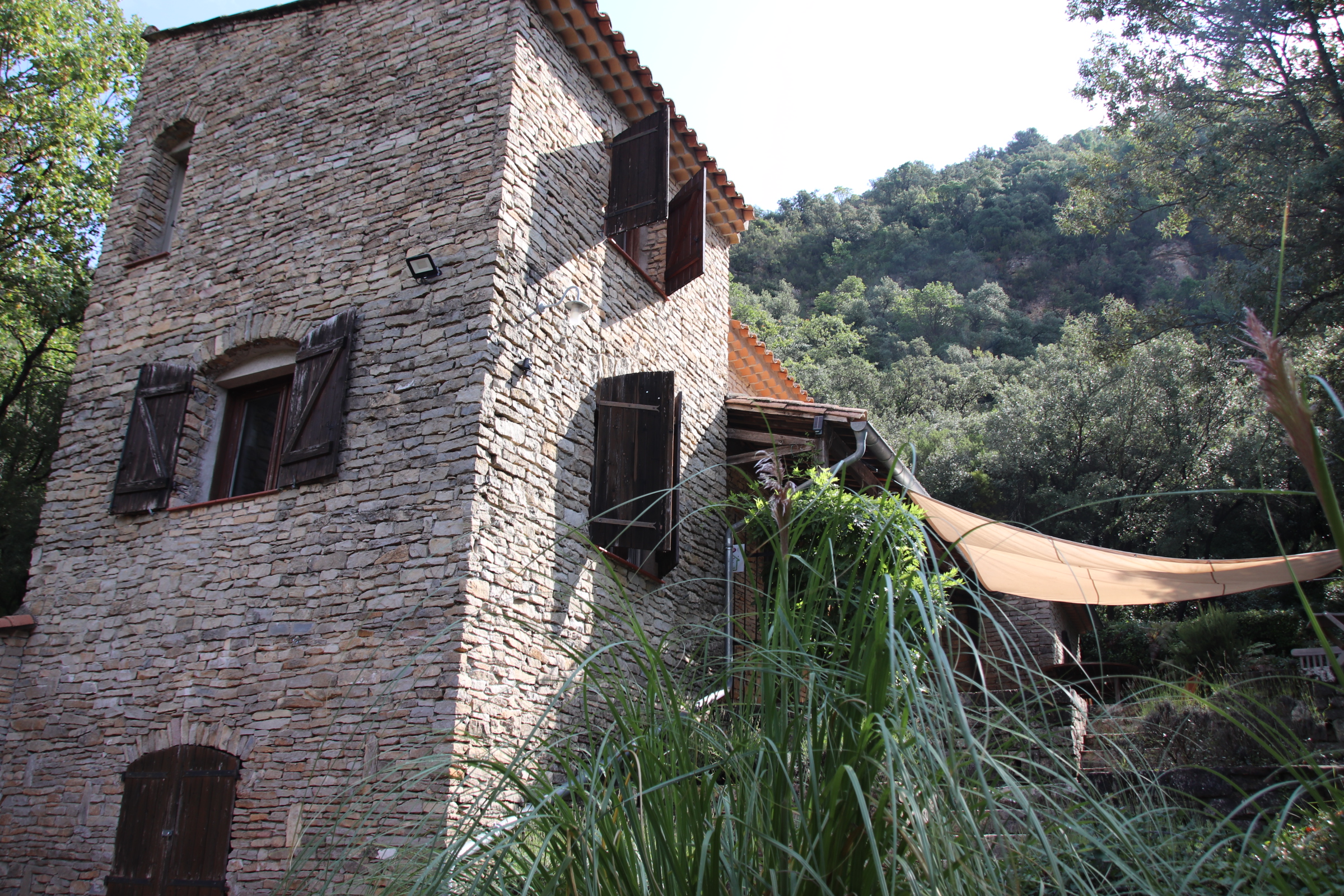
A five minute walk across the river on the old, red-rusting bridge and up the lane into the hills, amongst the steep hillside of trees & shrubs lies our home for the week – a great base from which to explore the Haut Aquitaine region in general and the Cevennes in particular.