A hidden delight in Castelpetroso, Molise

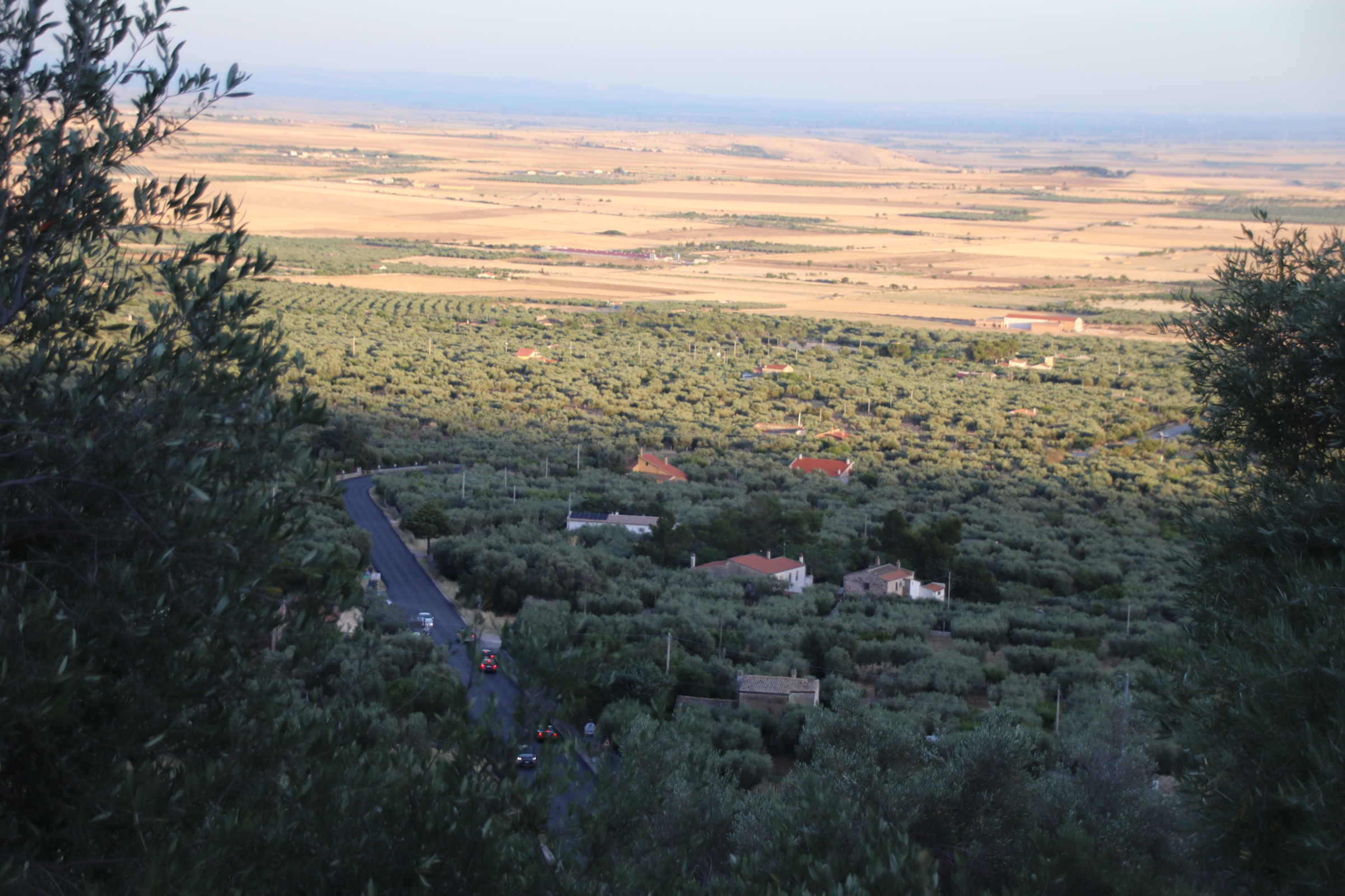
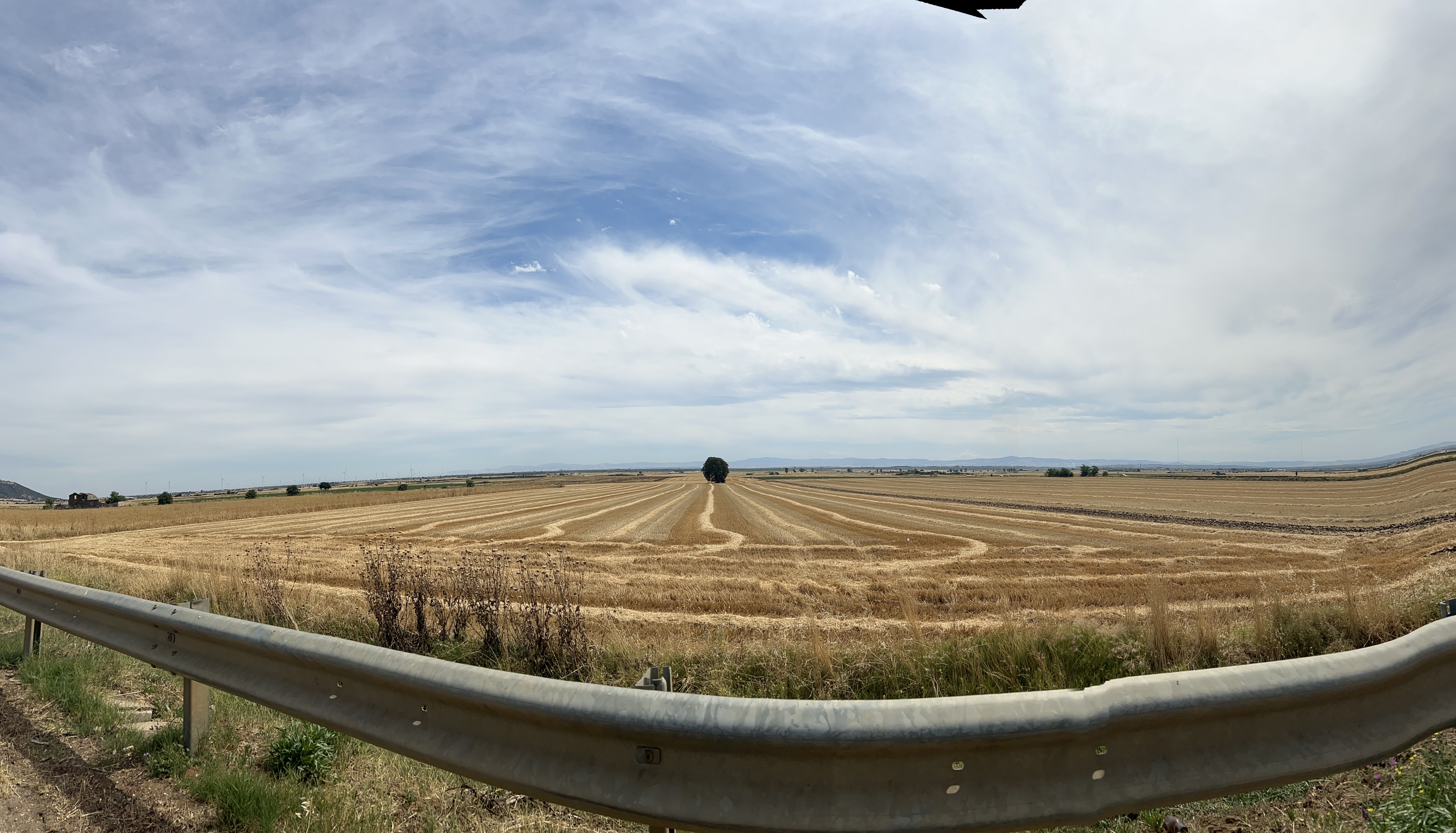
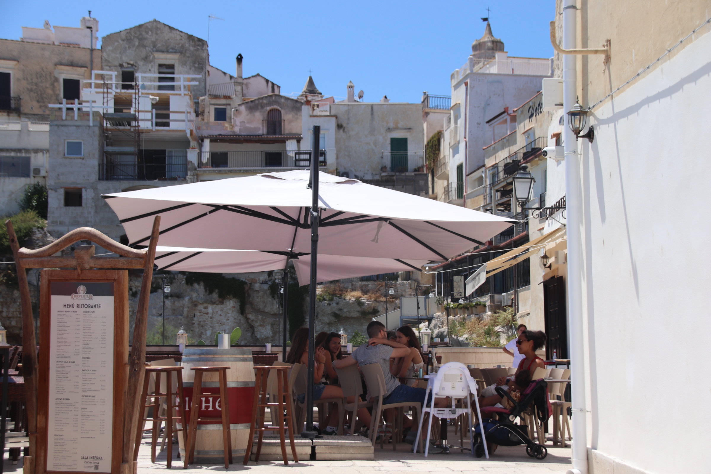
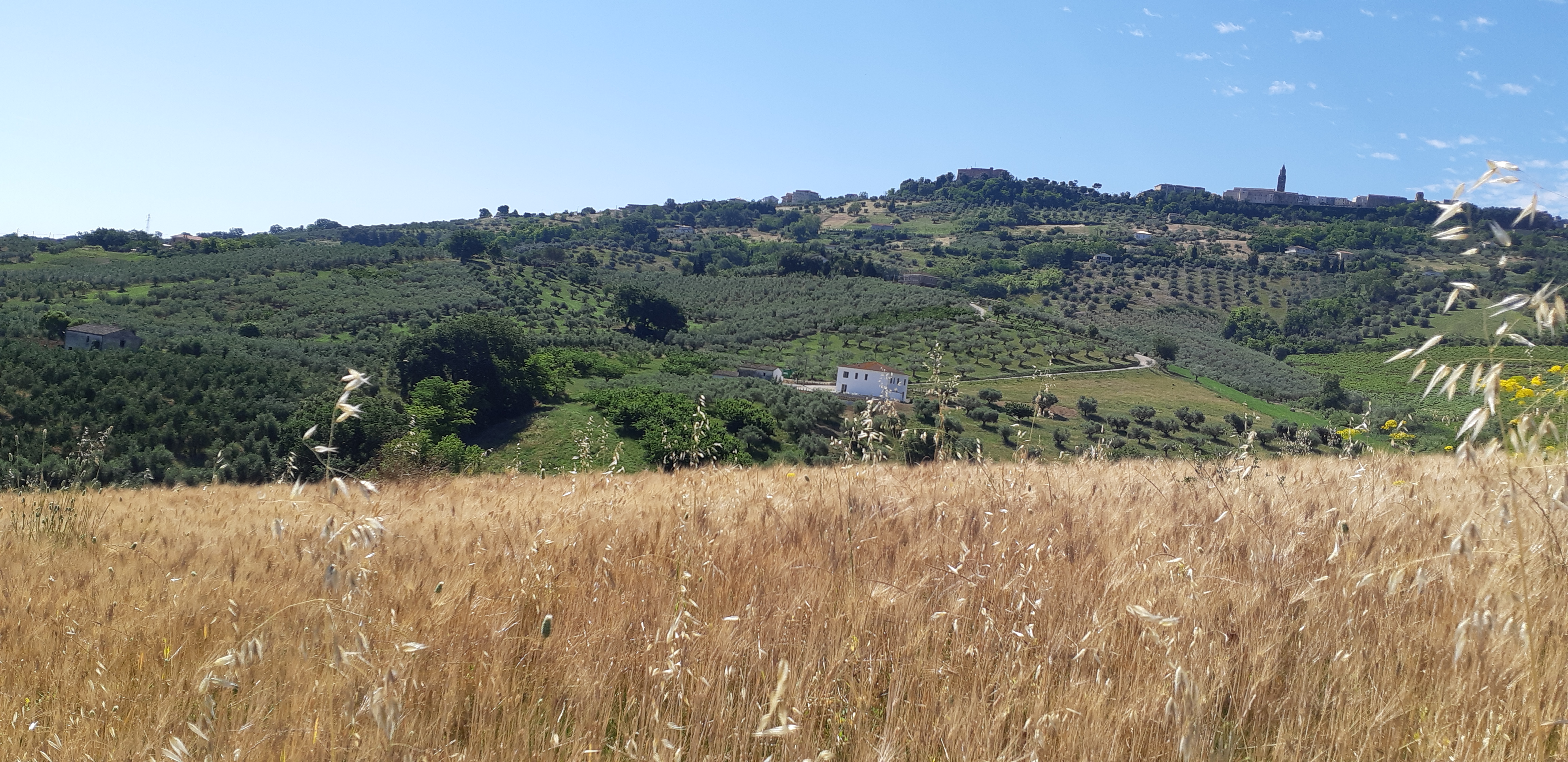
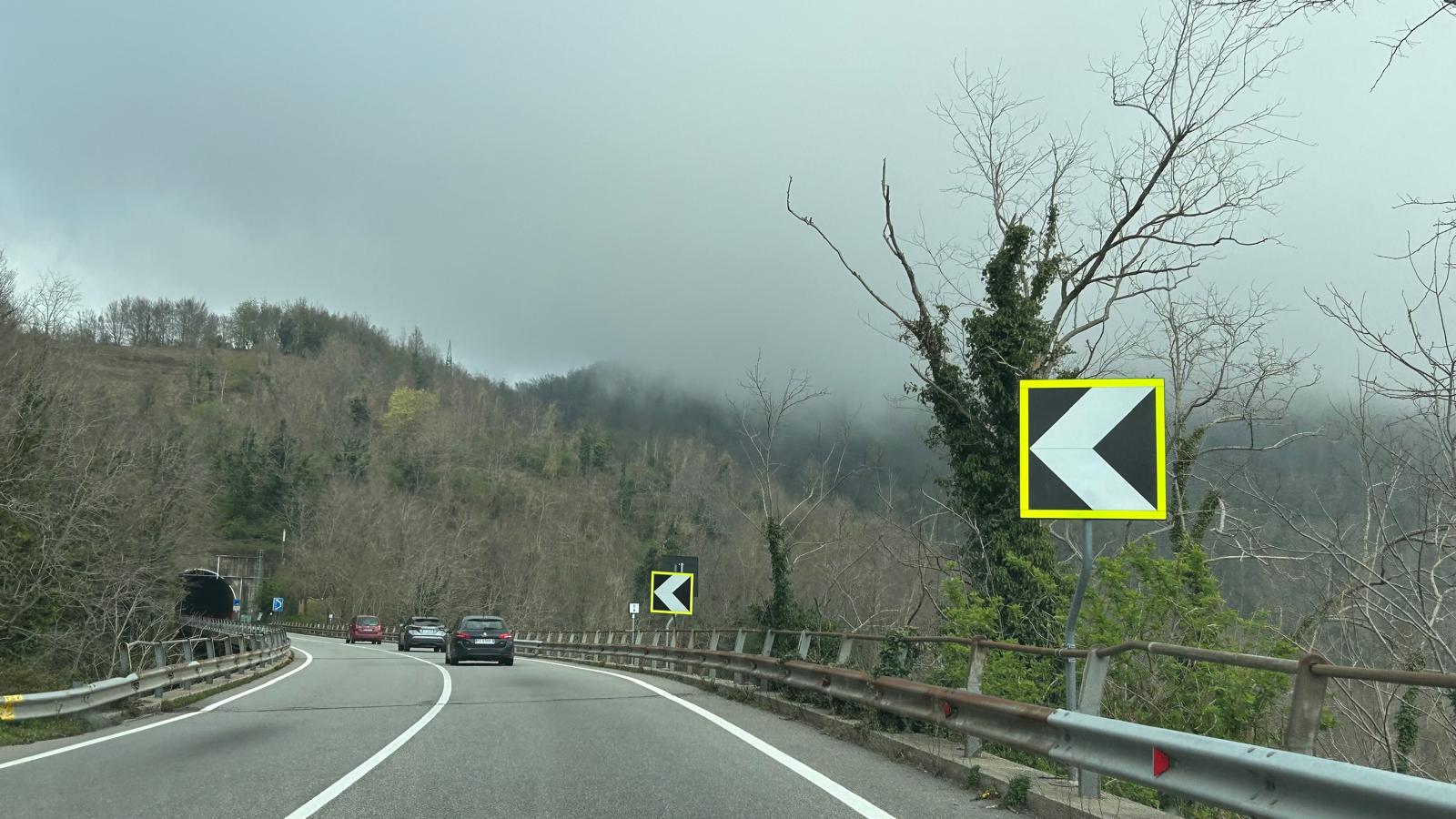
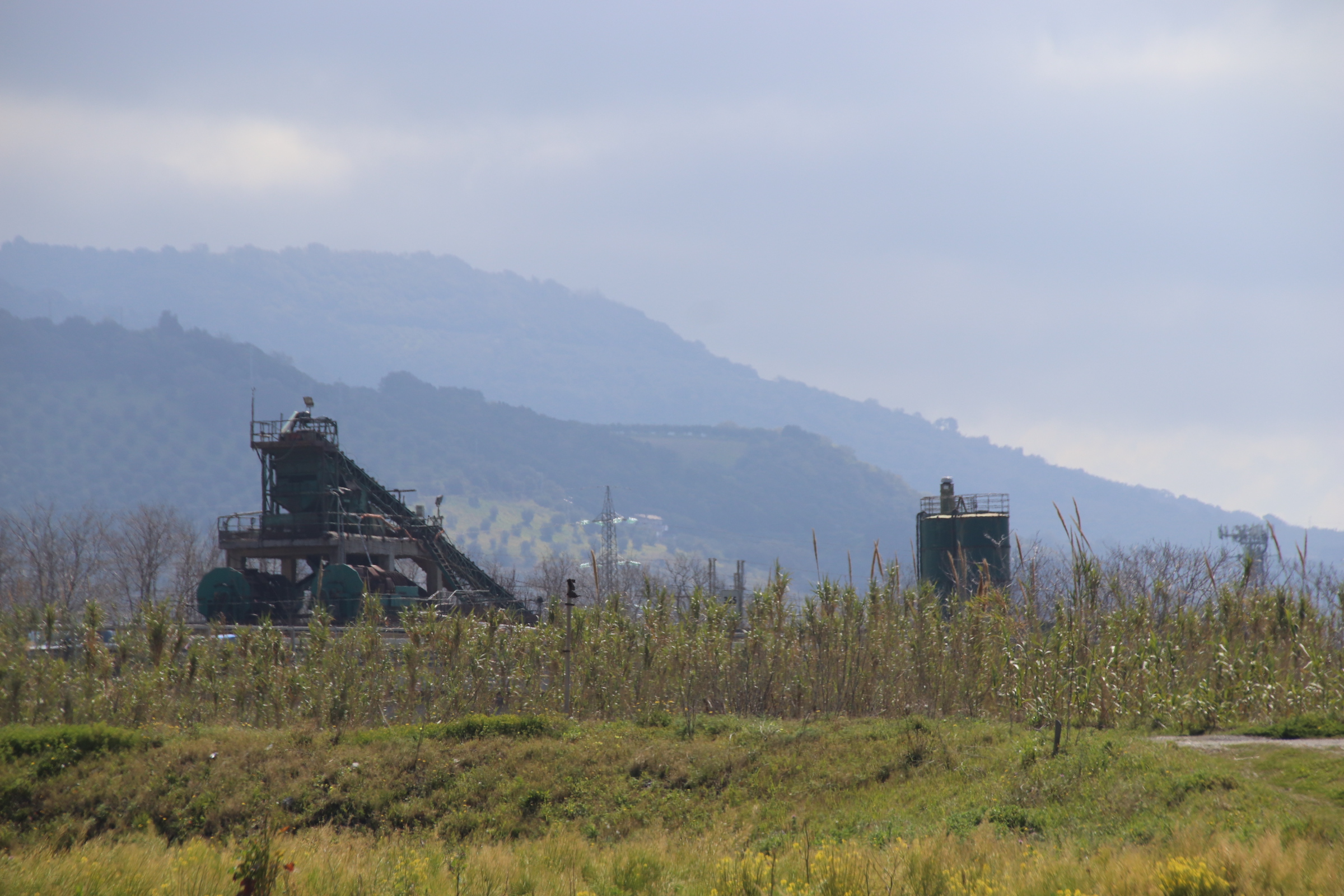
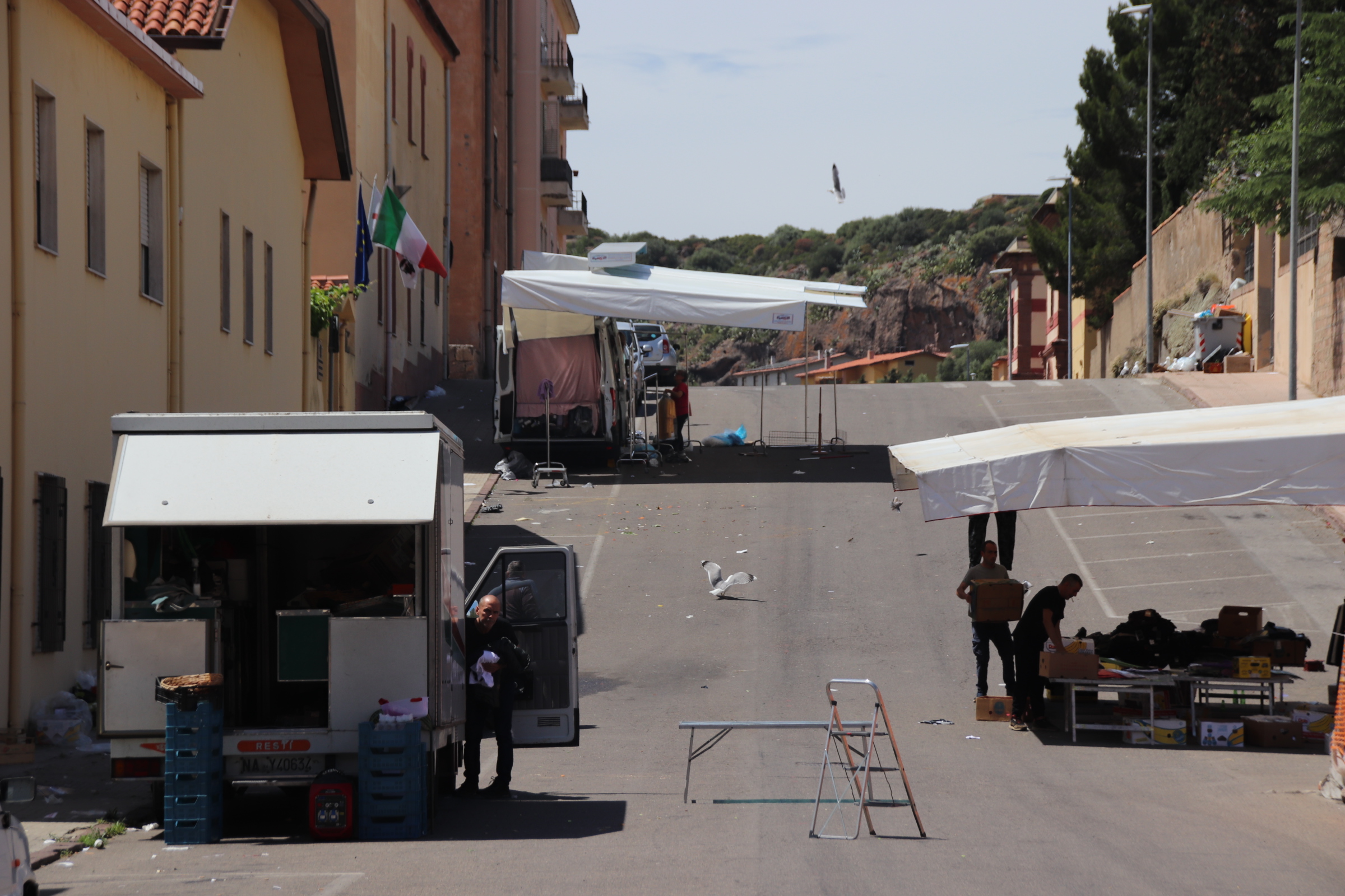
It’s time to leave the baked plains of Puglia, with its stretched horizons of wheat, some fields standing tall in the blazing sun with a harvester churning a dusty way through it, some fields in transition, straw lying out in scruffy lines awaiting rotation or baling or collection, & some fields shaved bald, so close, the crop has been completely cleared up by huge lorries & tractors & machines and taken off to giant grain silos which will then take off for far away mills & processing plants. In the far distance lines of wind turbines catch the breeze & wave a fond farewell as we belt through the heat on the autostrade.

As much as the coastal towns have provided colour & interest & culture, much of inland Puglia is hot & dry, severe & harsh, the harvested fields disturbed by endless, stiff lines of uniform regiments of olive trees & within, the hard cheese grater of thousands of cicadas sounding off 24/7 & drowning out any semblance of gentleness.

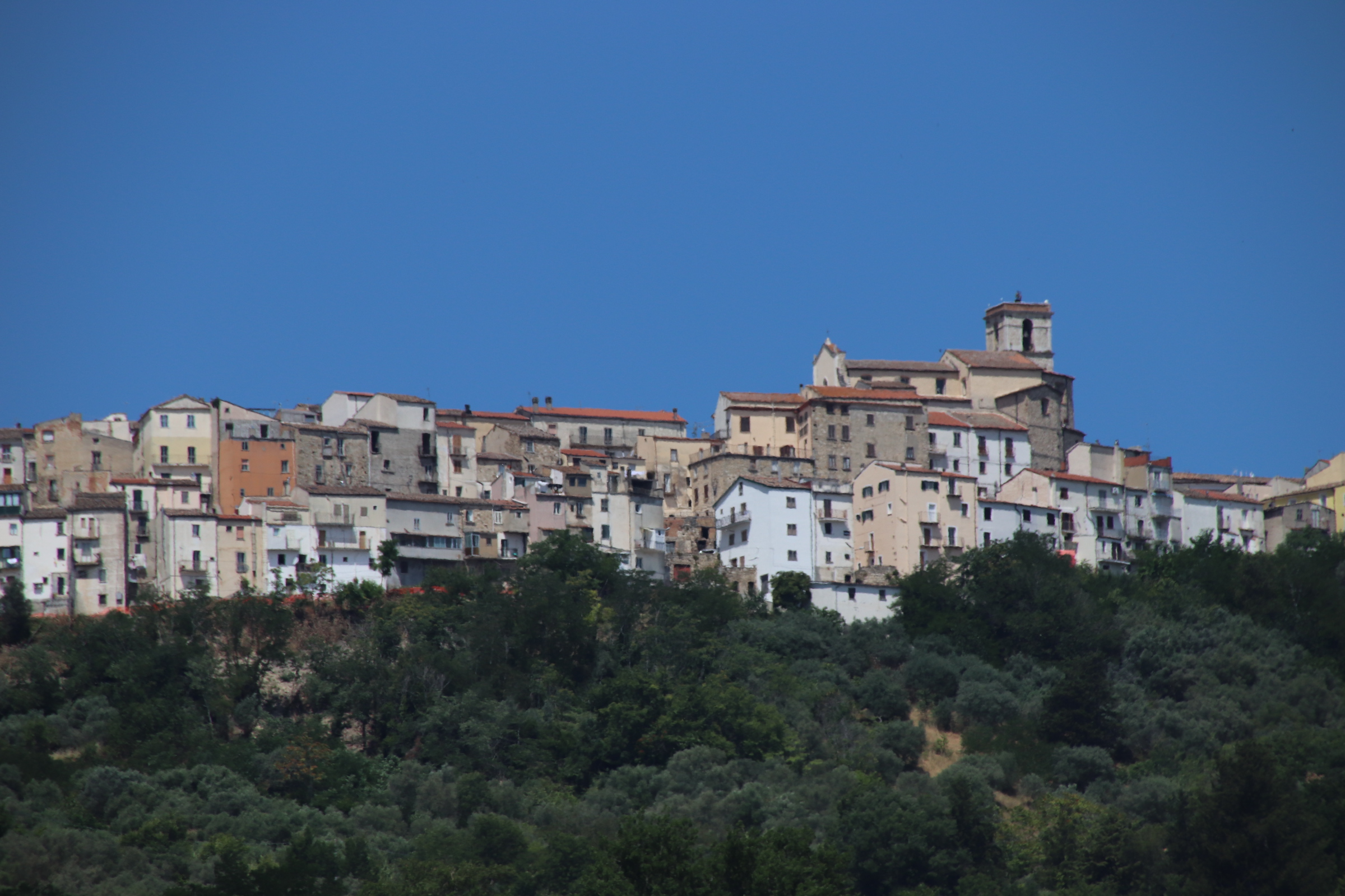
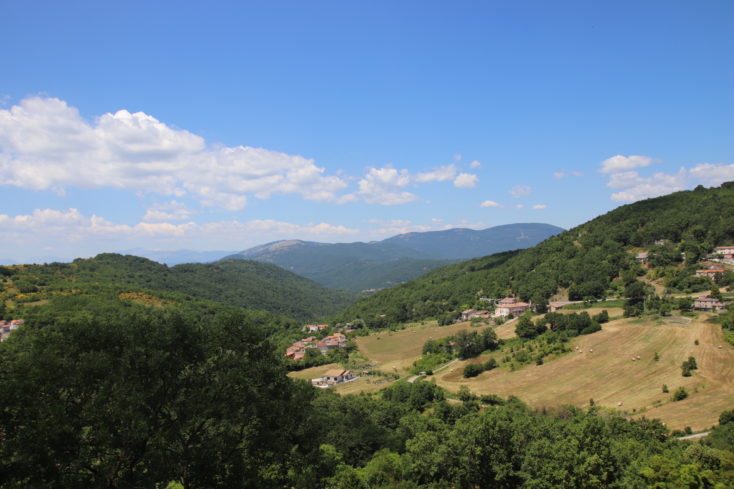
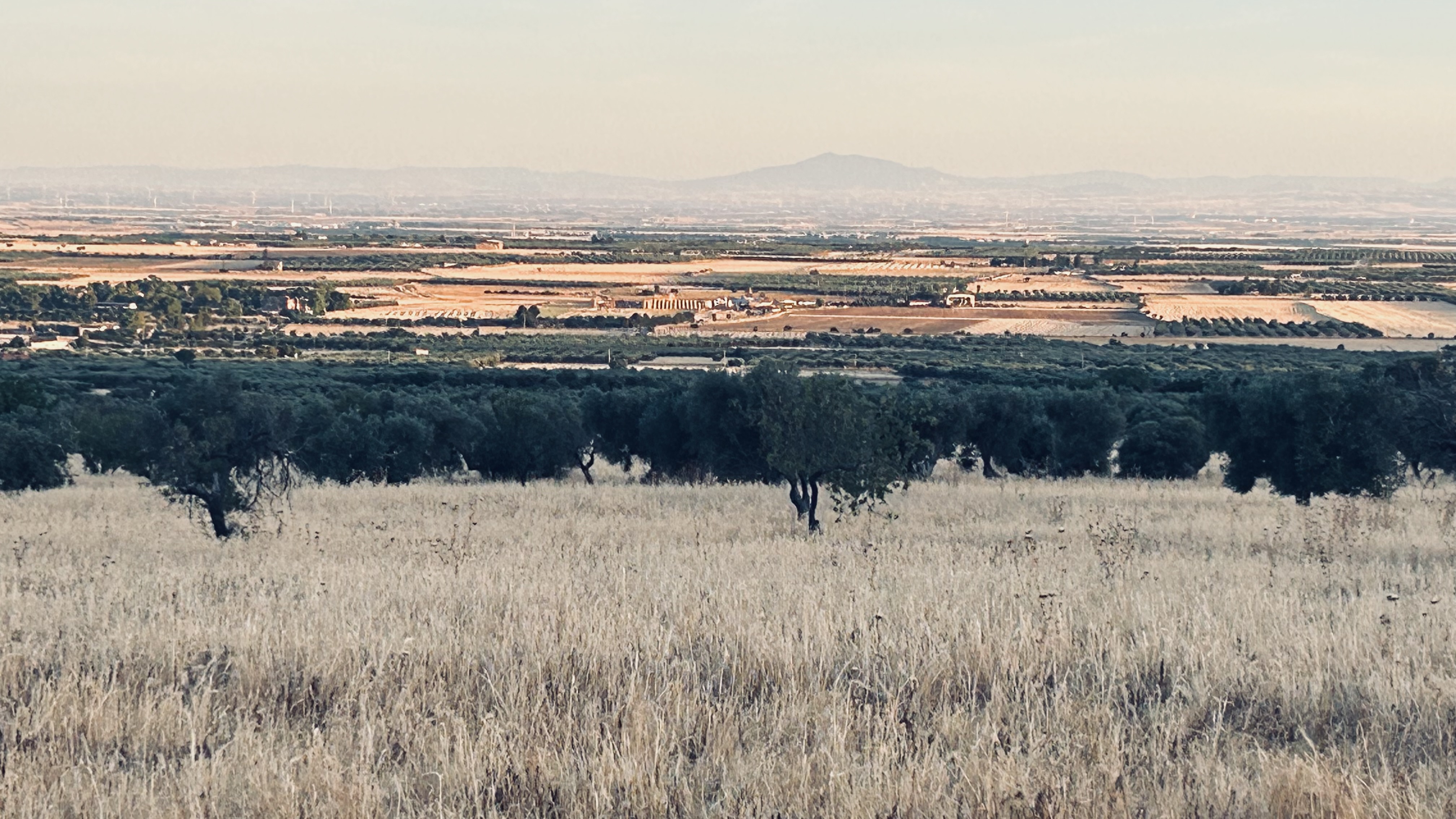
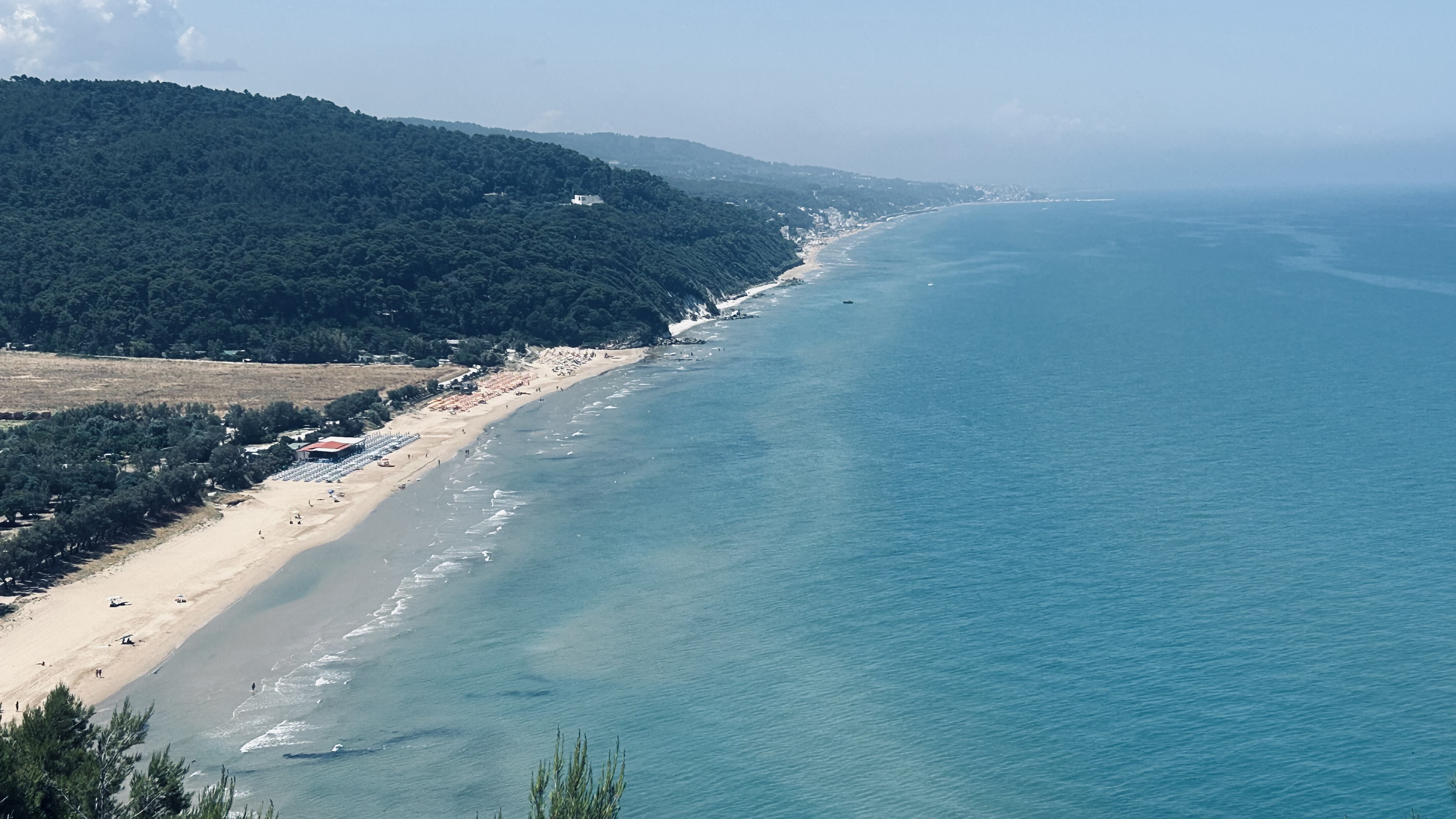
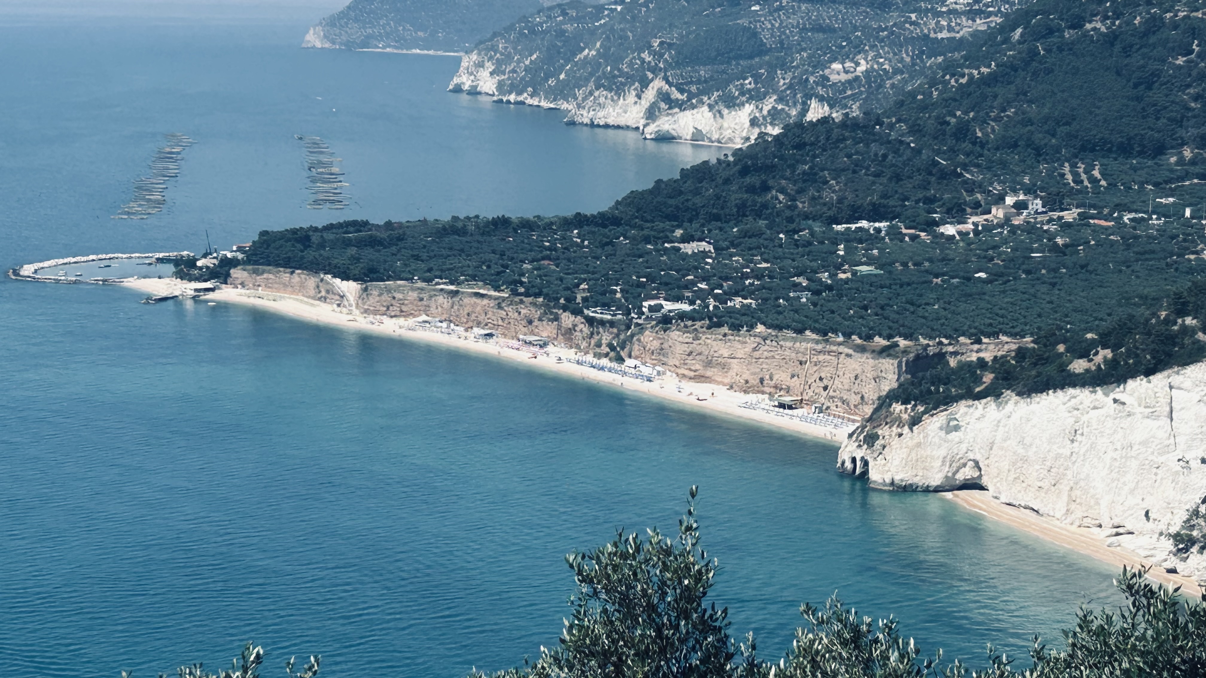
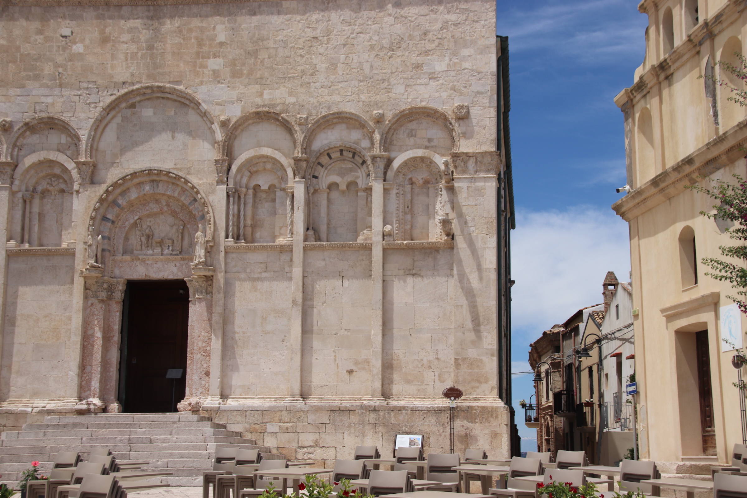
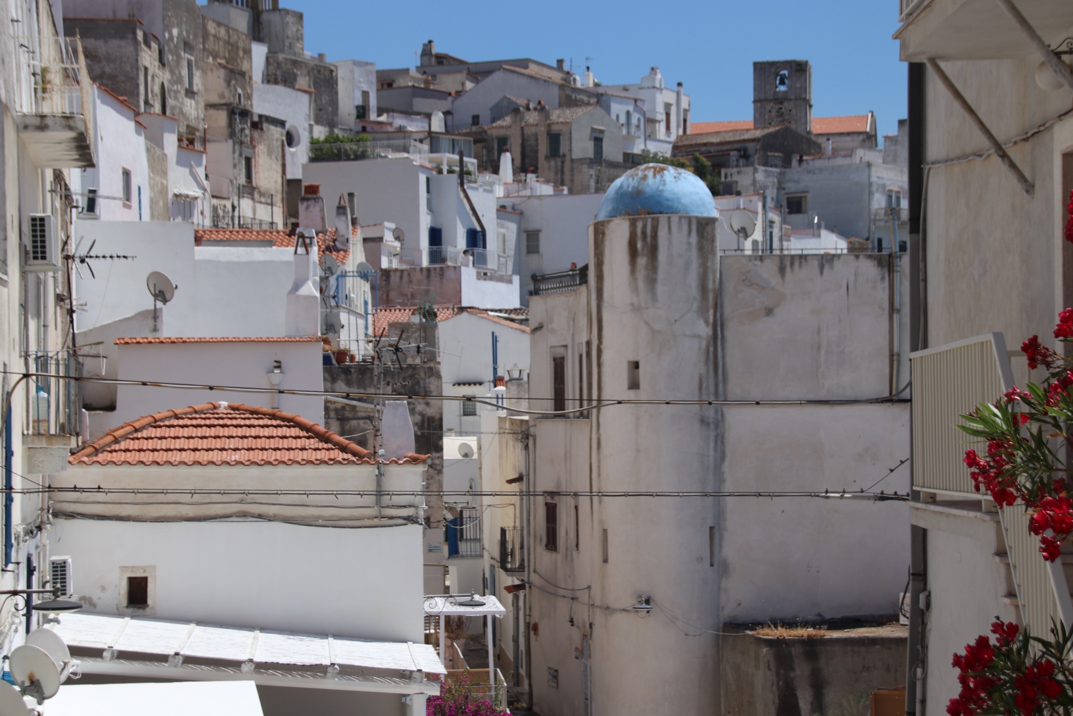
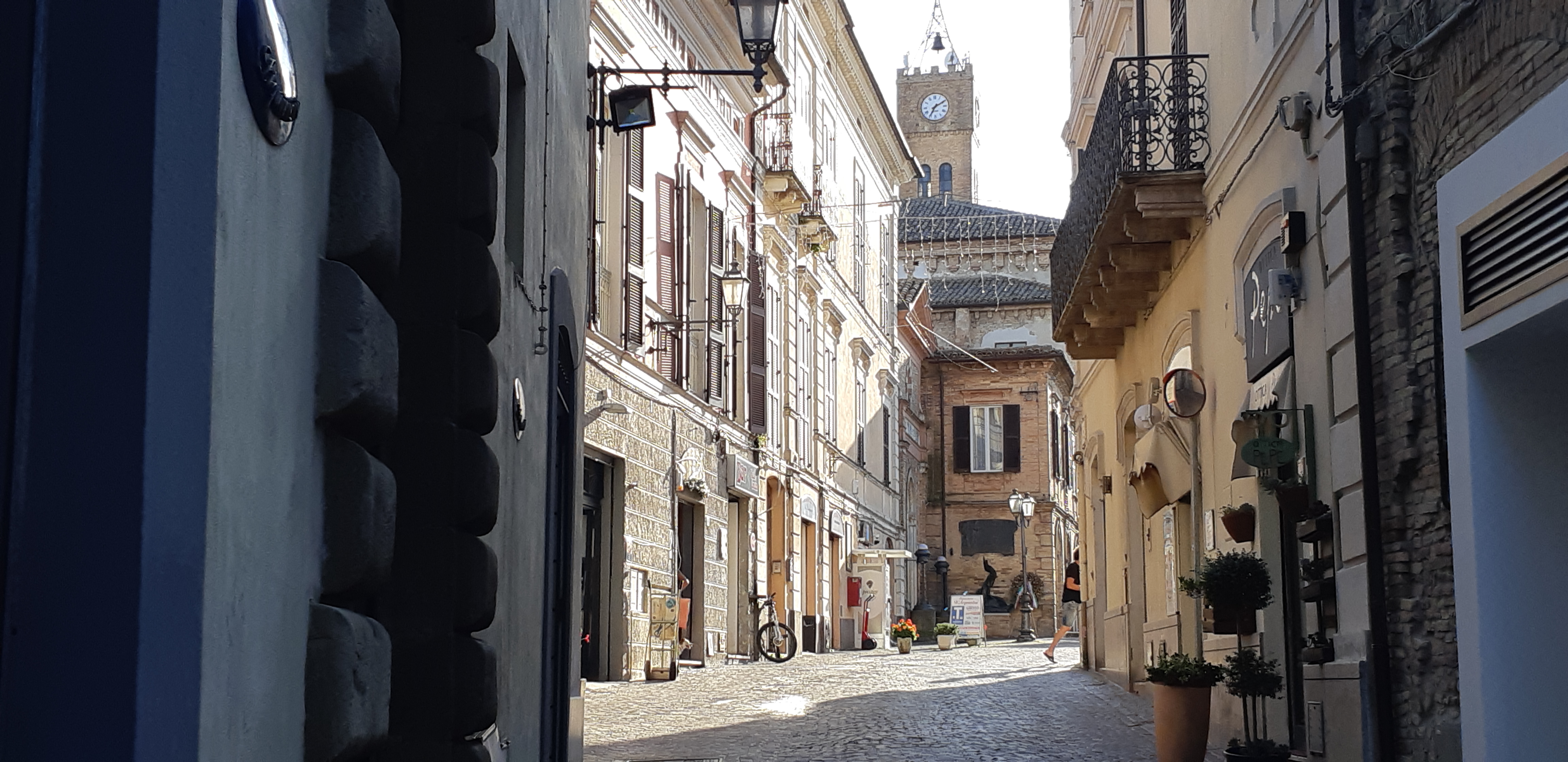
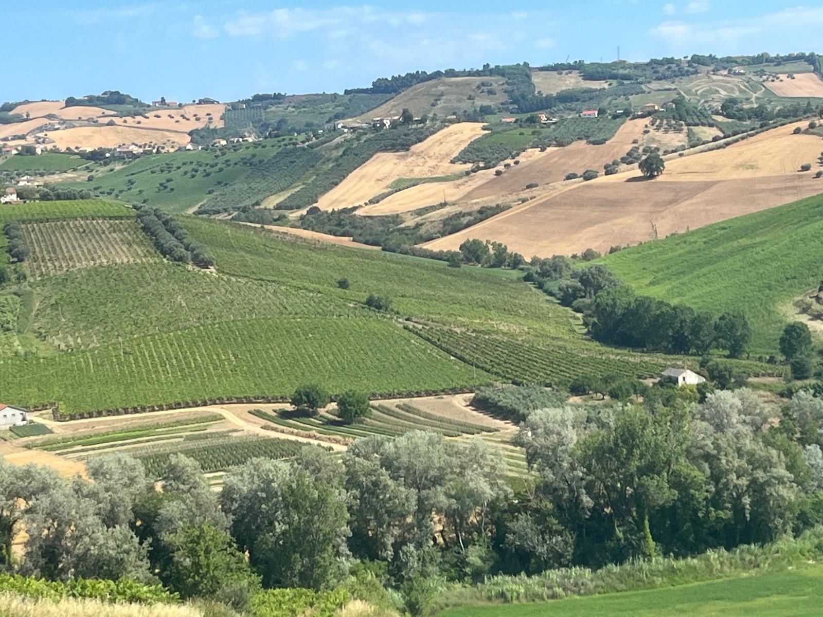
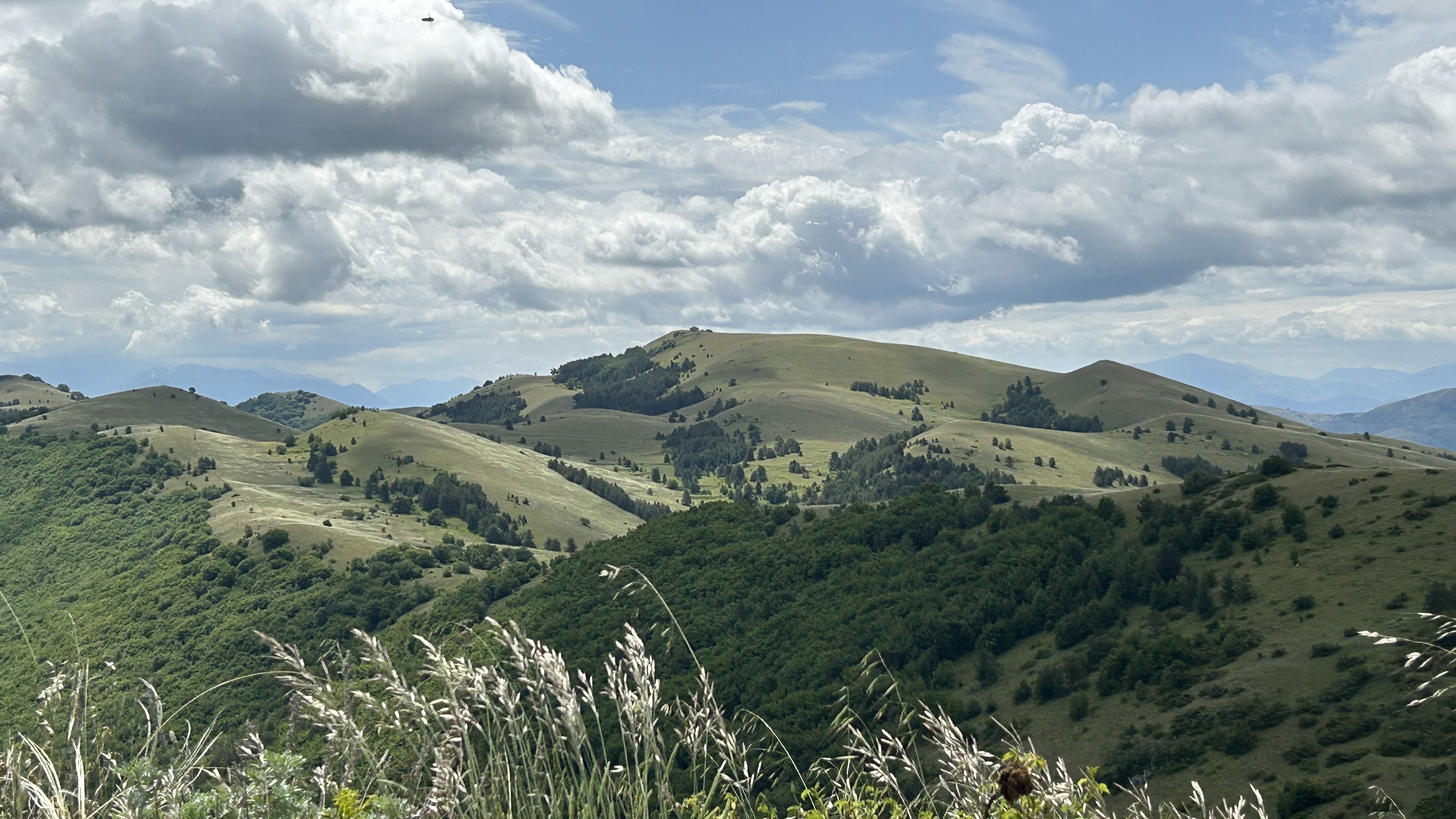
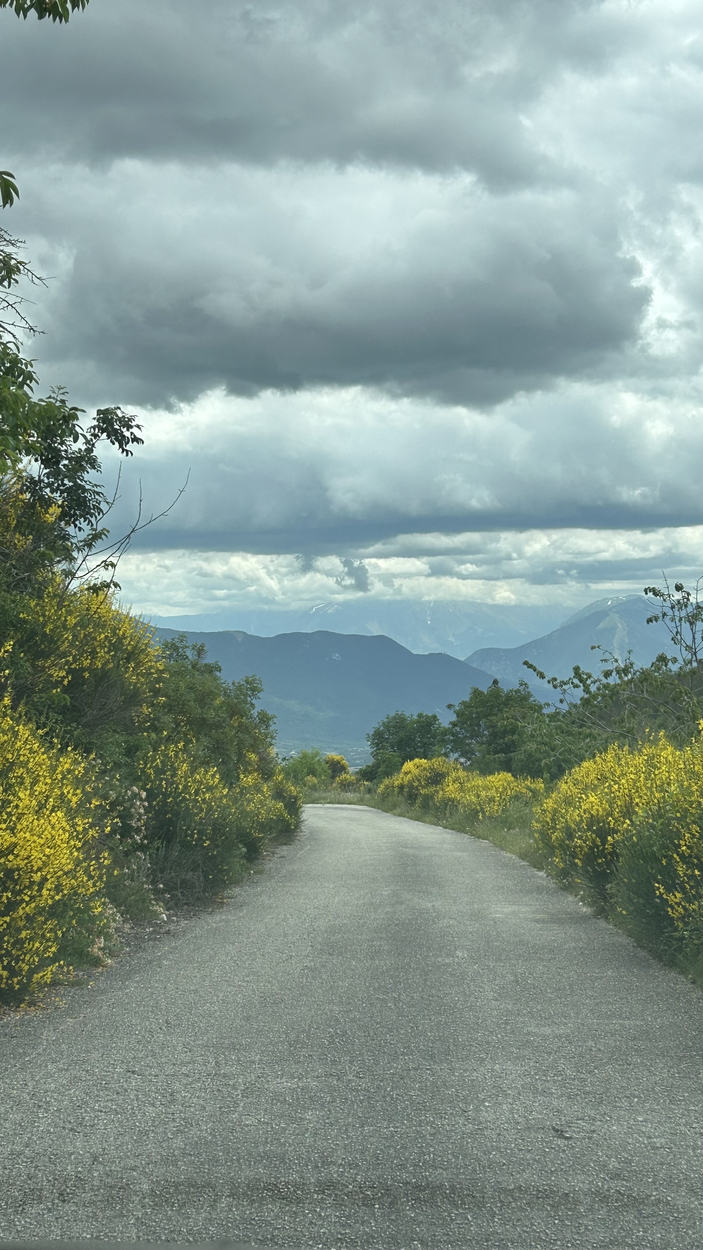
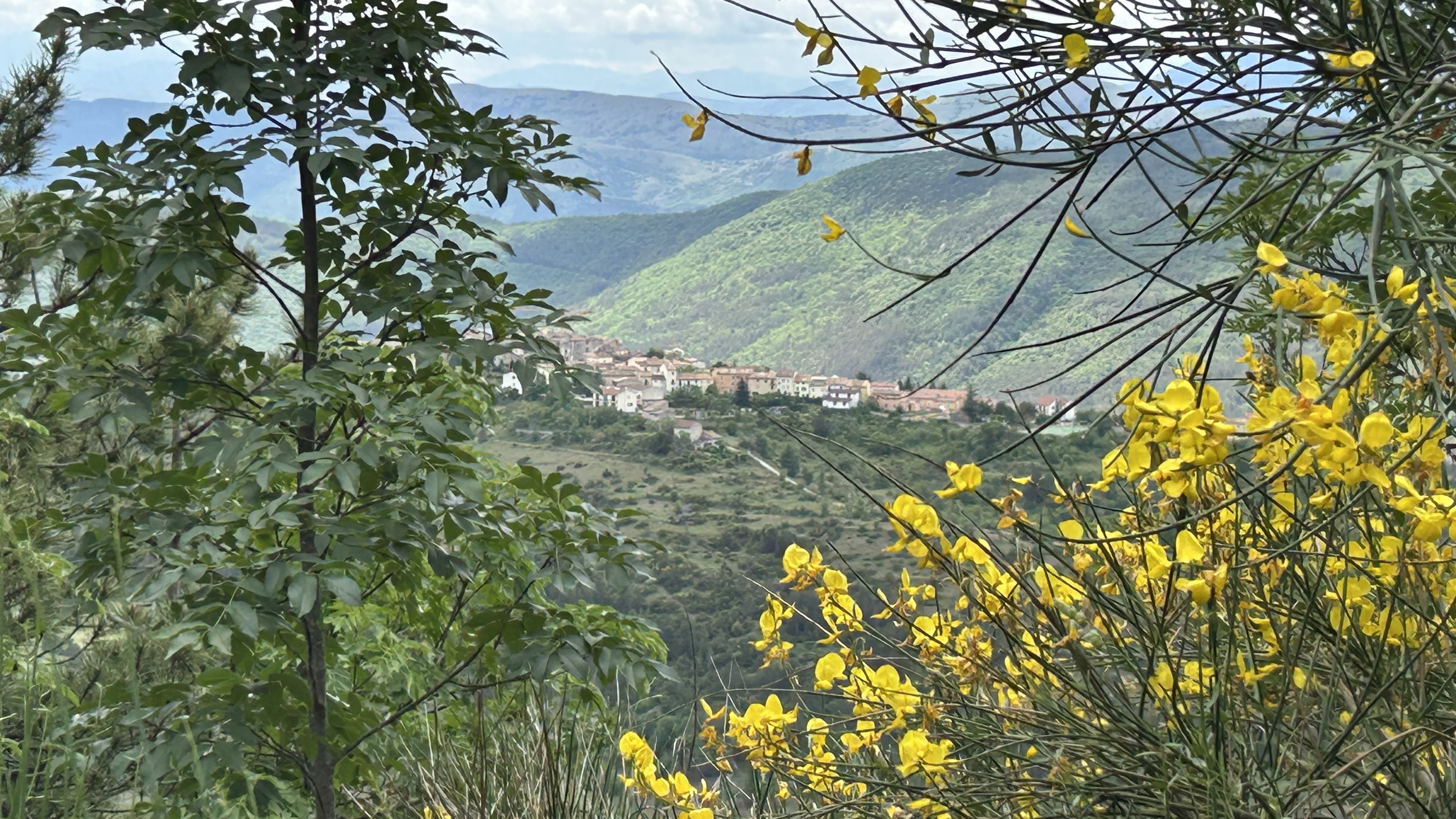
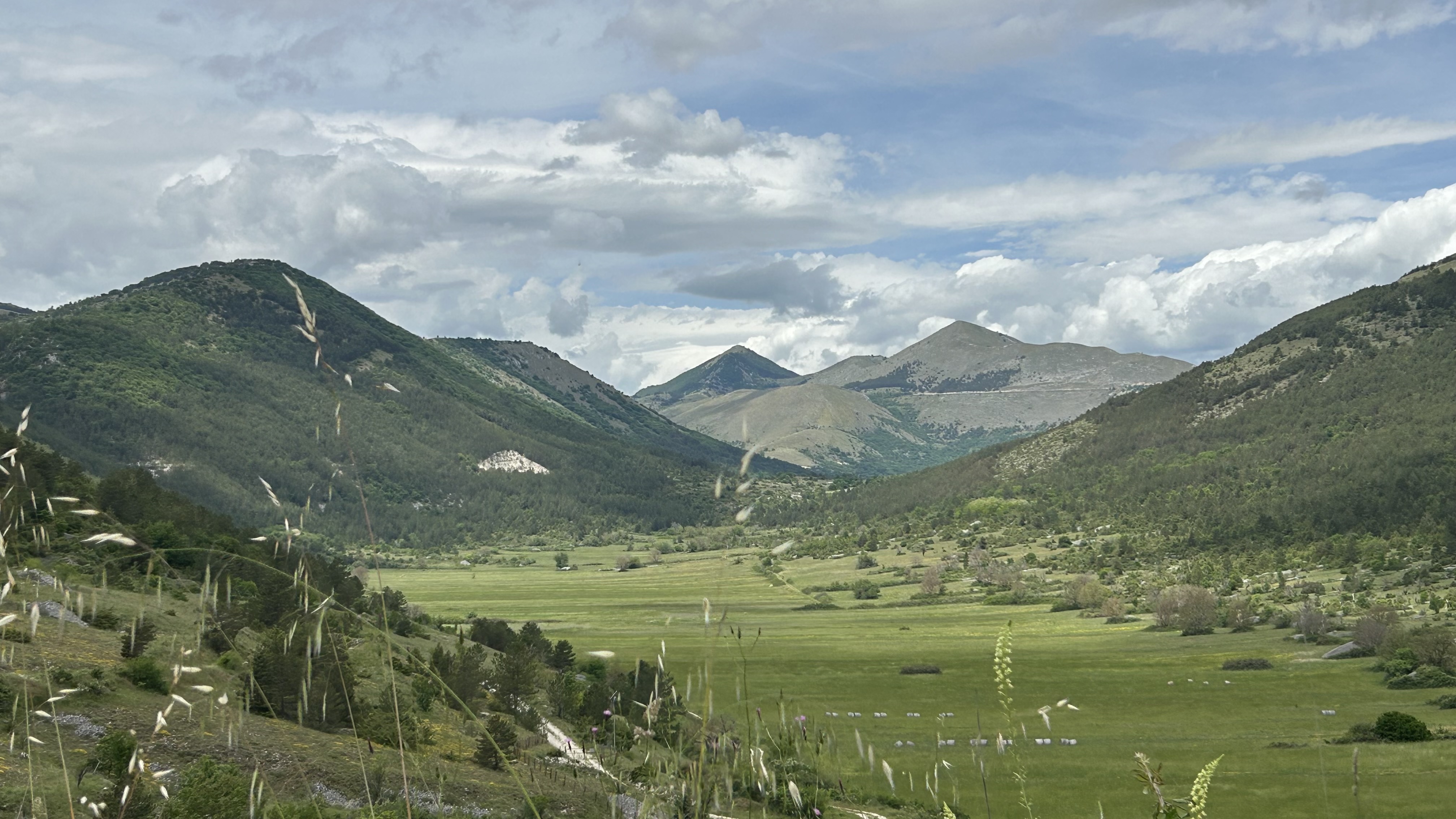
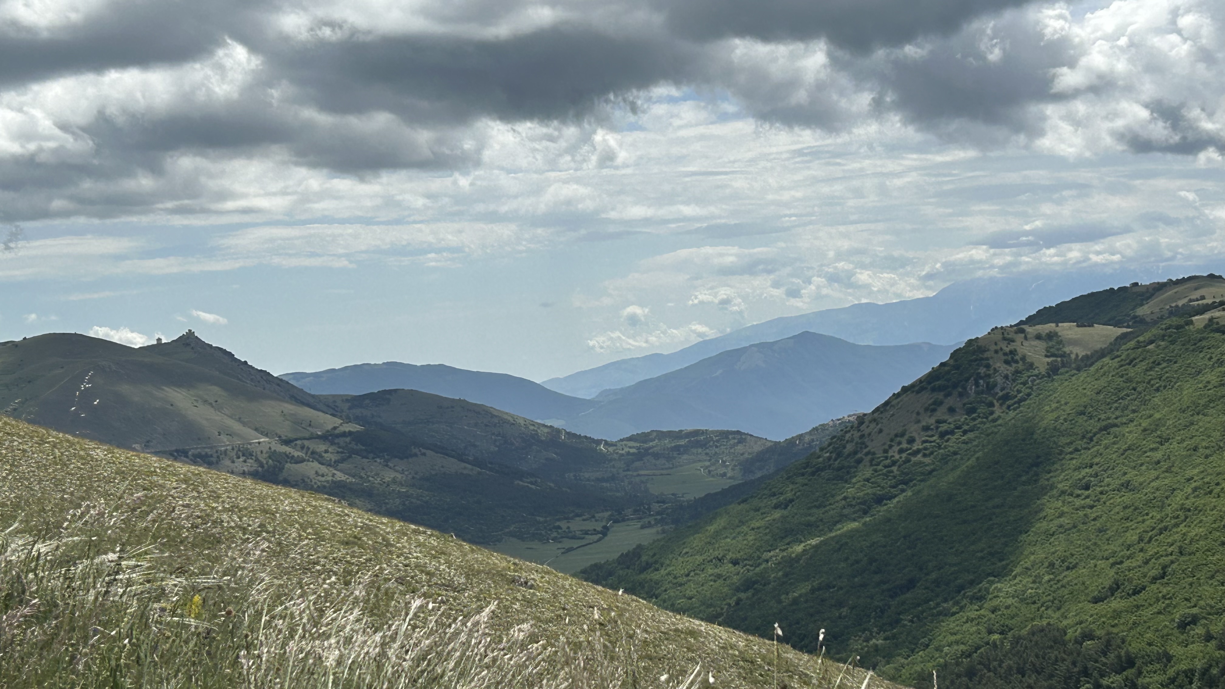
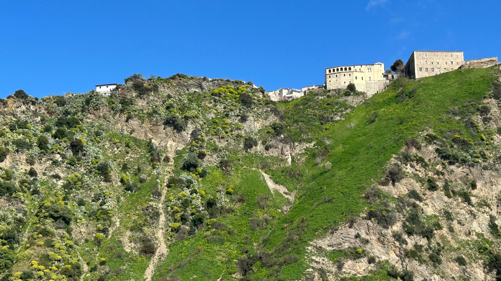
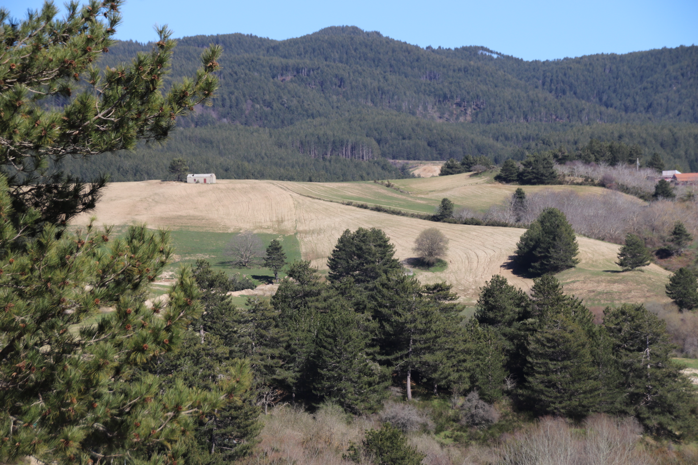
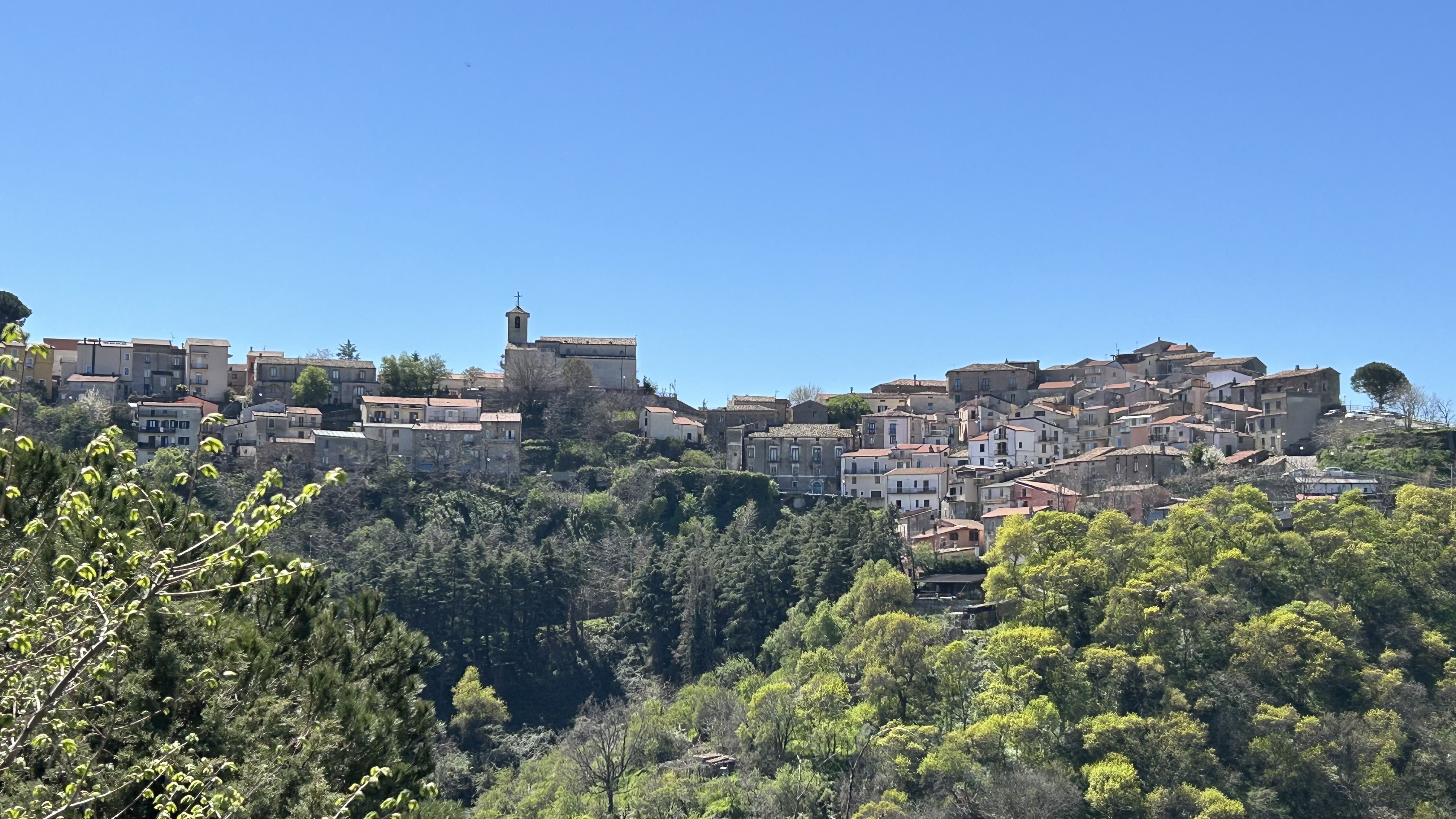
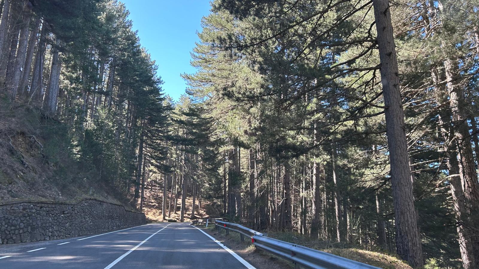
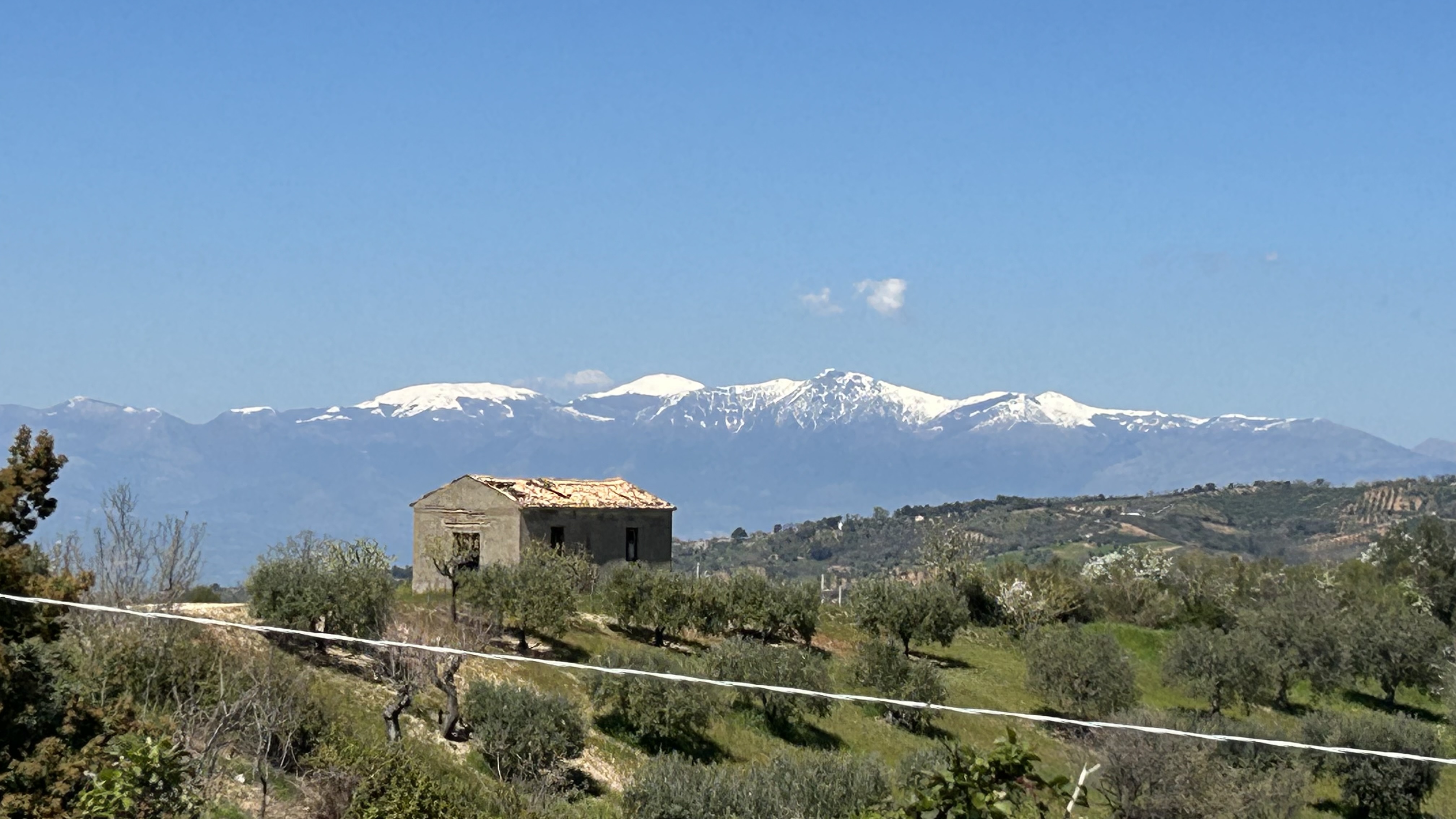
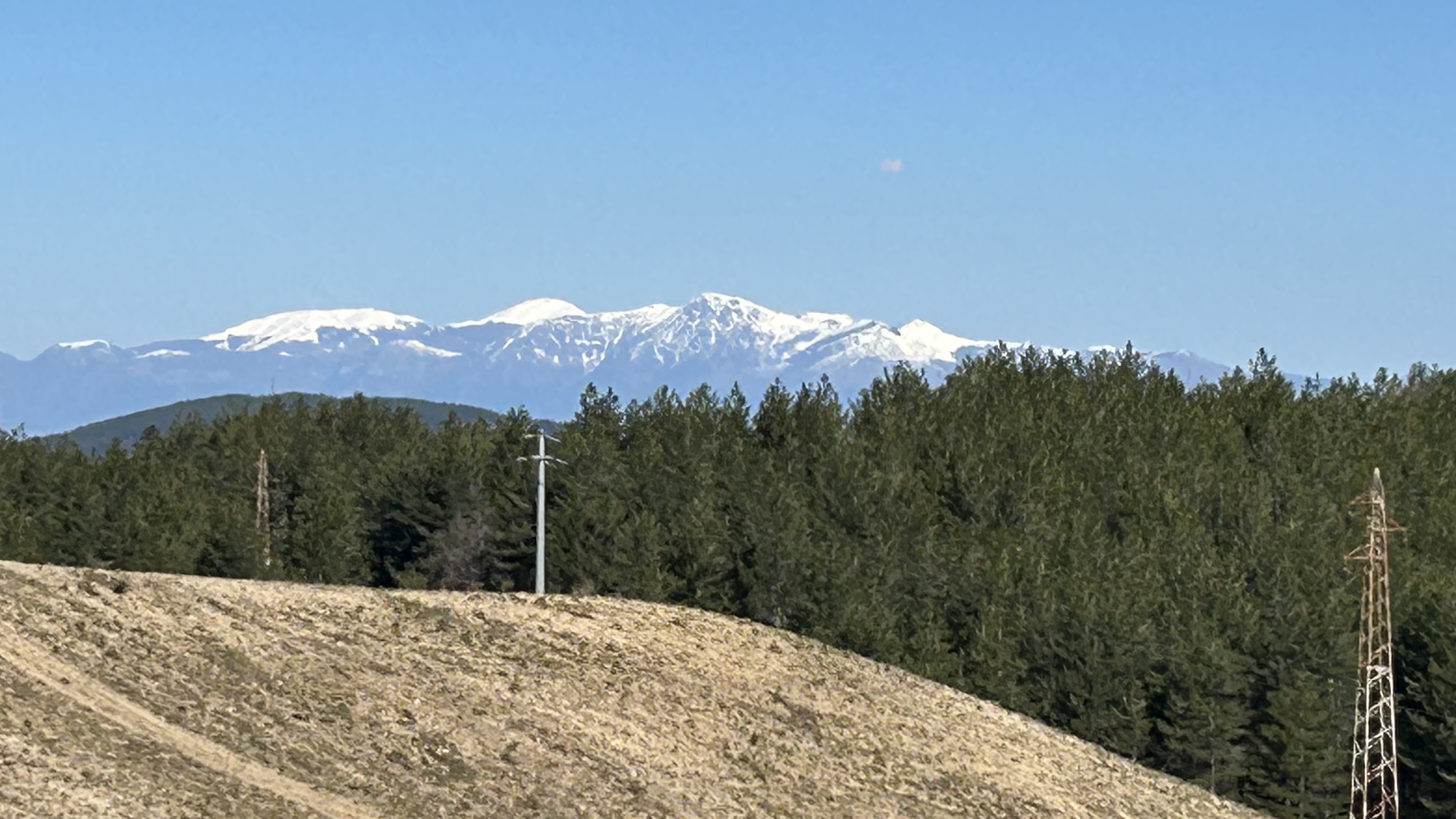
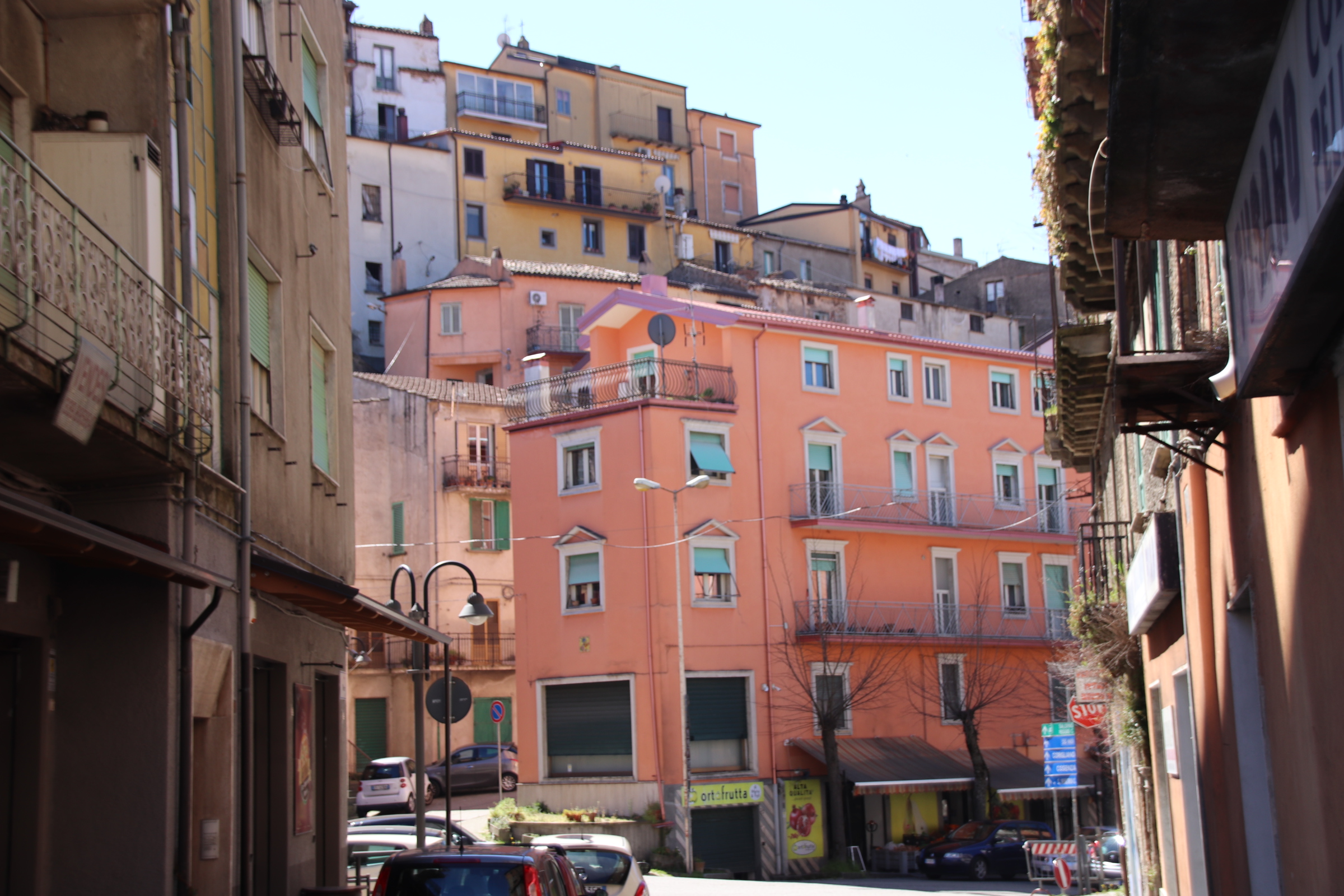
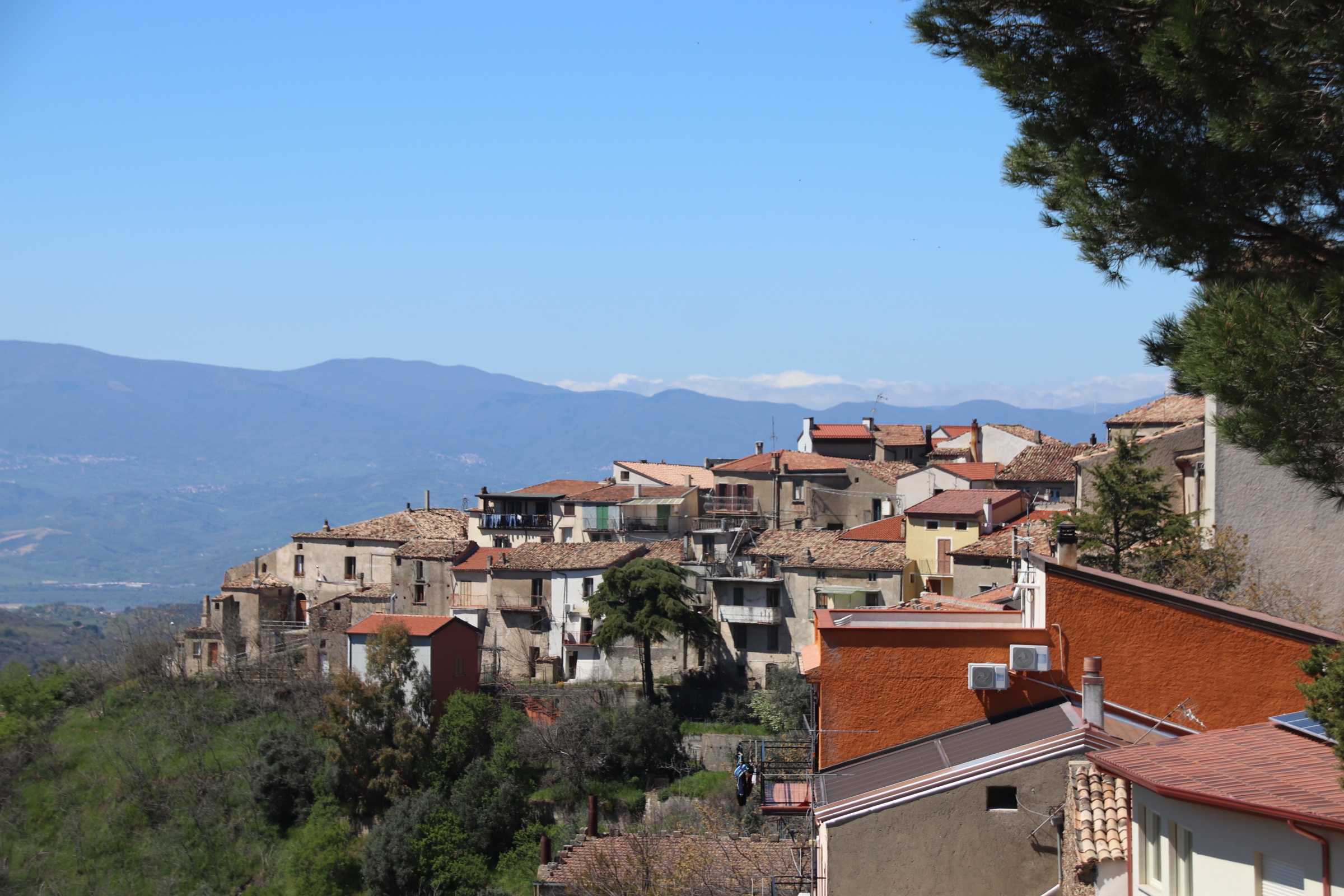
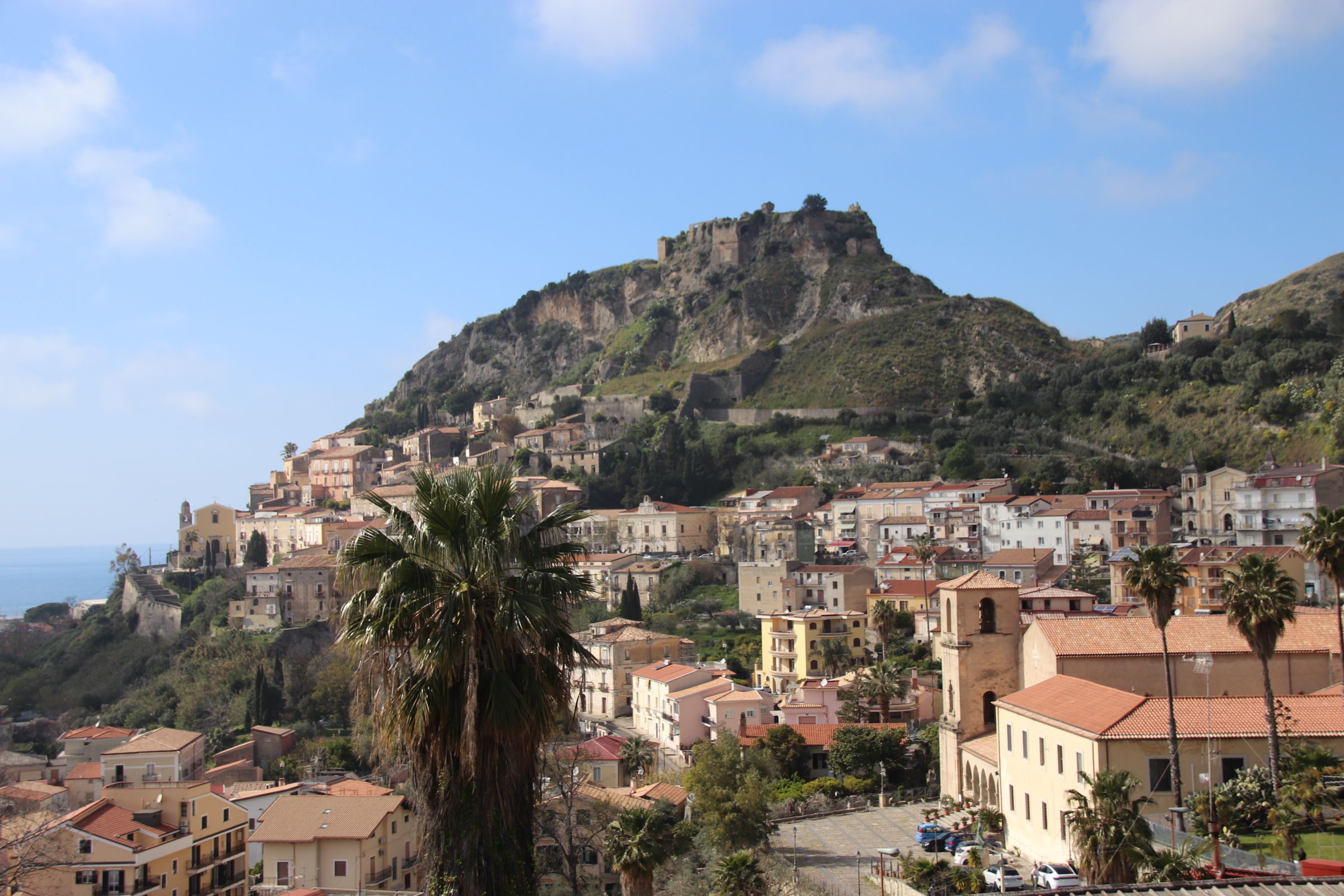
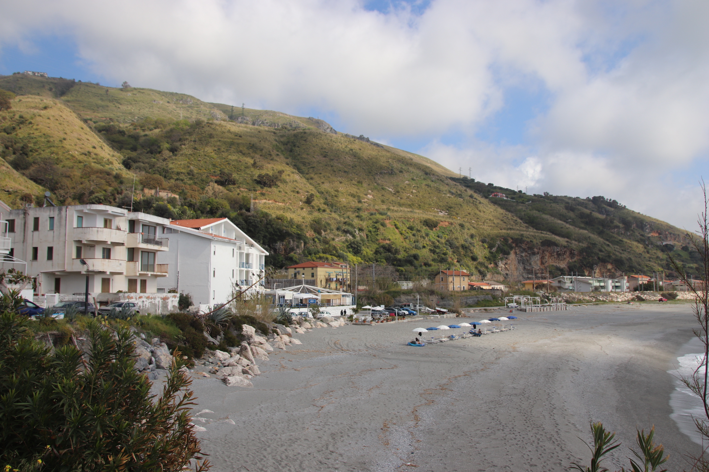
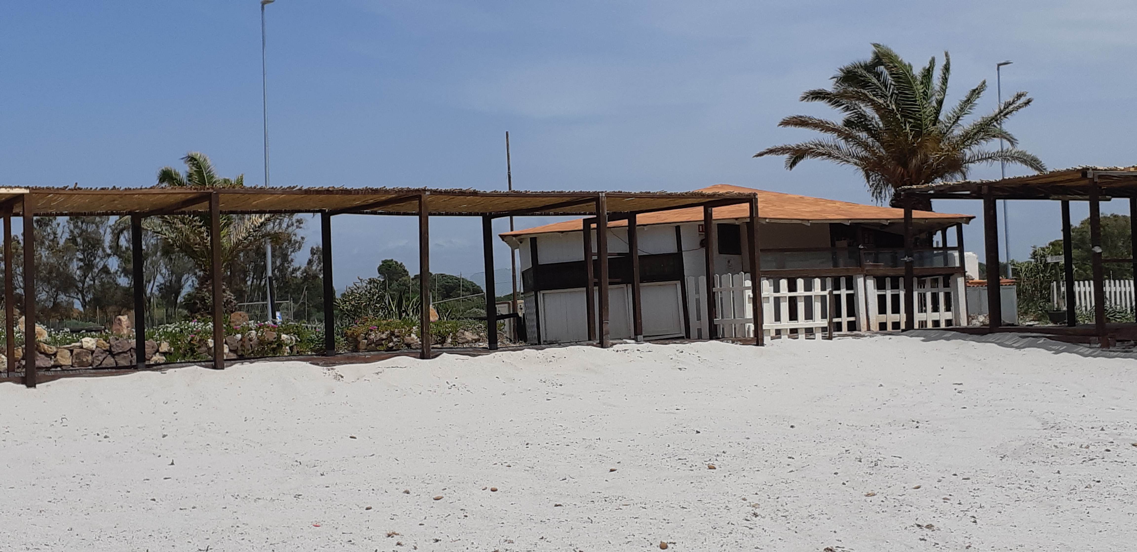
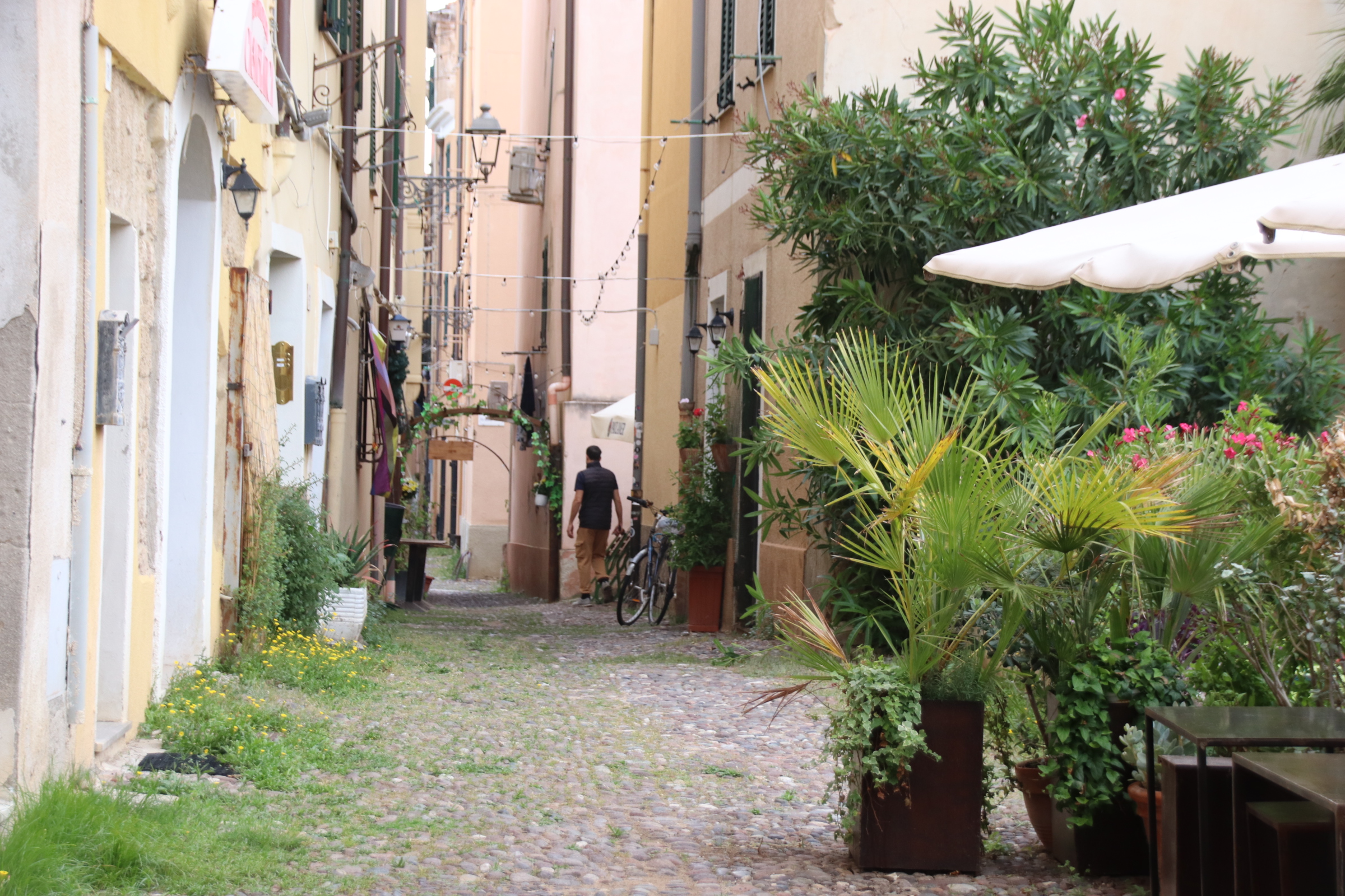
Molise is a small region on our journey northwards. We are through it in a few hours. The landscape starts to change. The fields are smaller, returning to our beloved, kaleidoscope of colour & shape, fewer olives, more deciduous woodland, more vines and….. more hills are mushrooming up ahead. The edges & borders are more precise, sharper, like driving through the freshly-groomed face of a client of a Turkish barber. With this rolling country we realise what we’ve missed out on further south – towns & villages on every hilltop, birdsong, greenery, a calmness in the land & the heat.

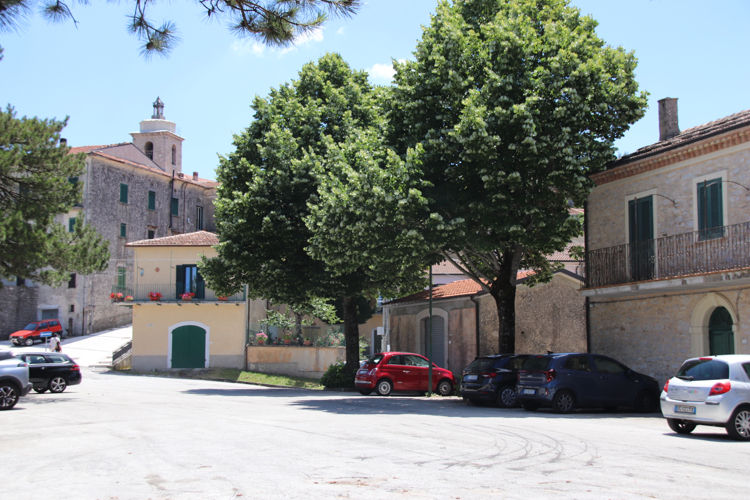
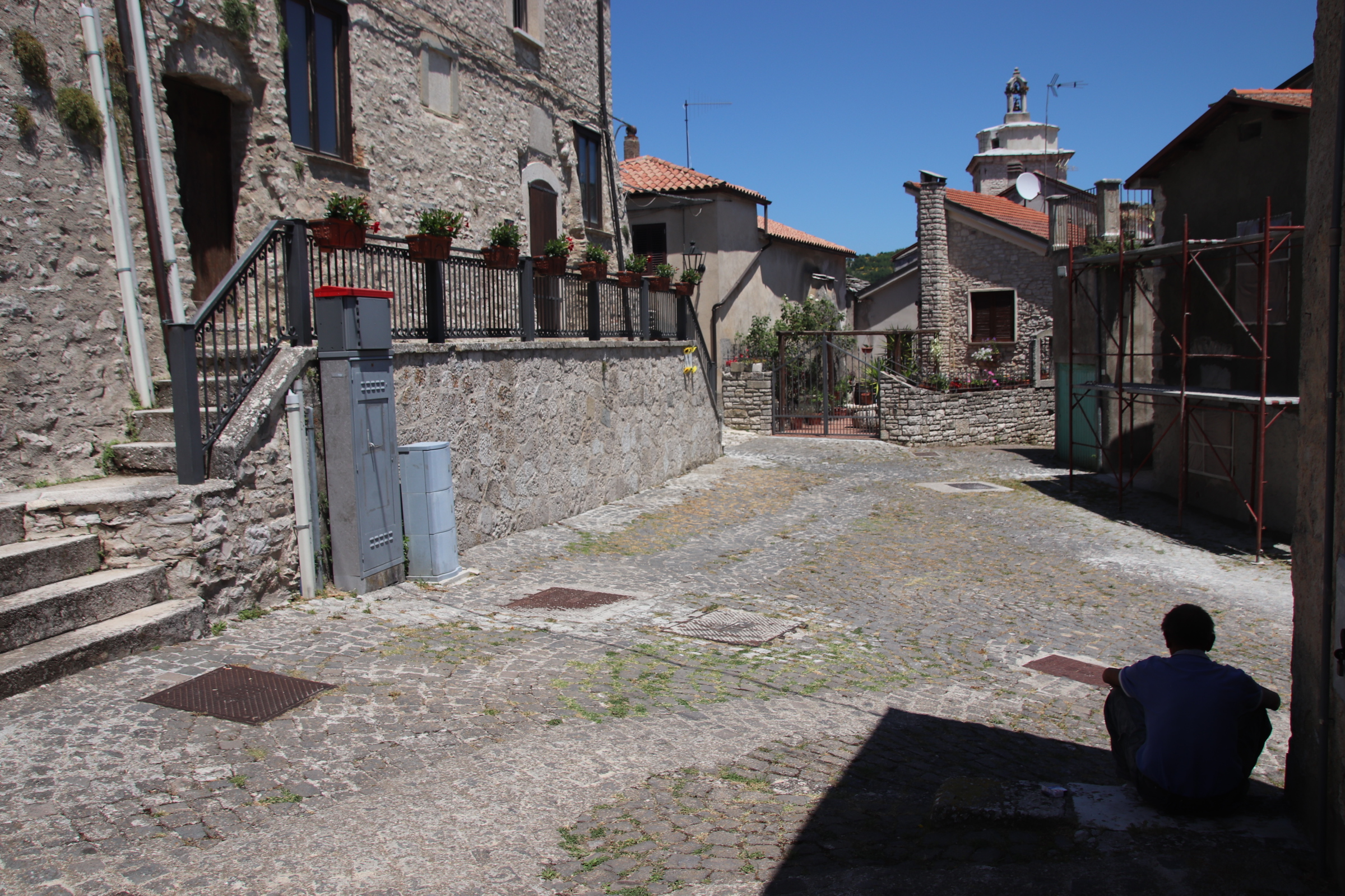
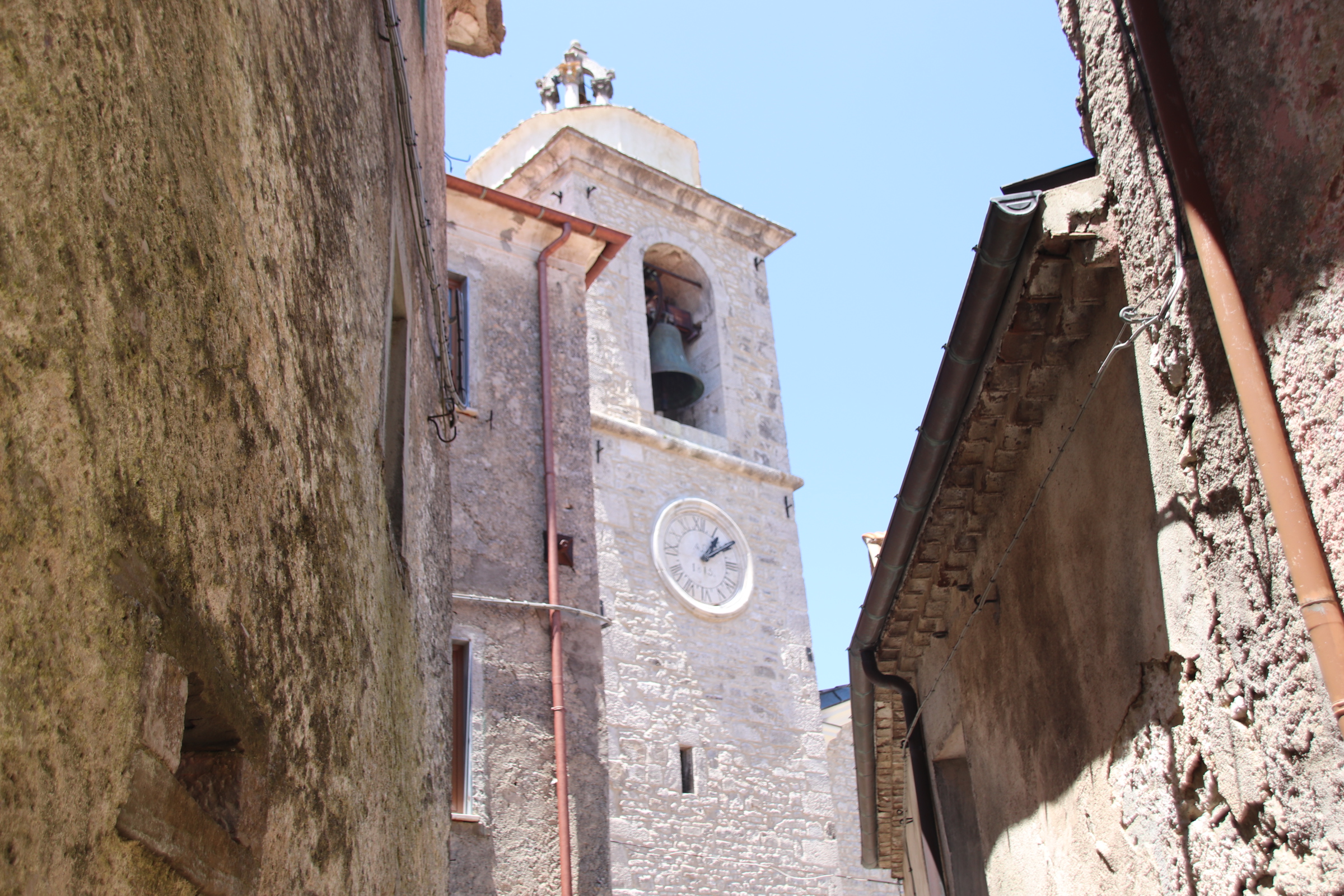
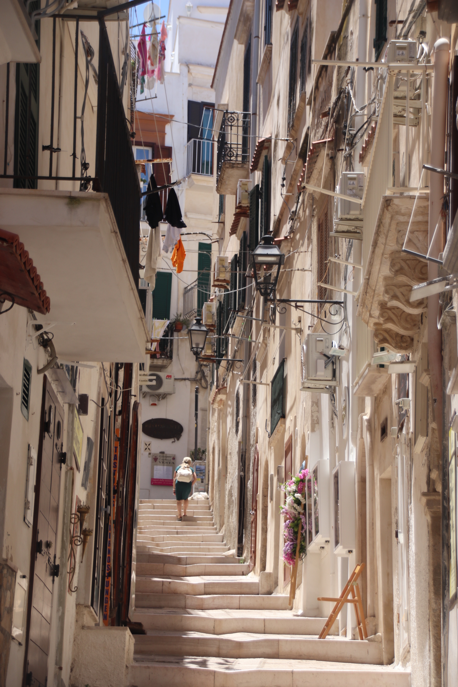
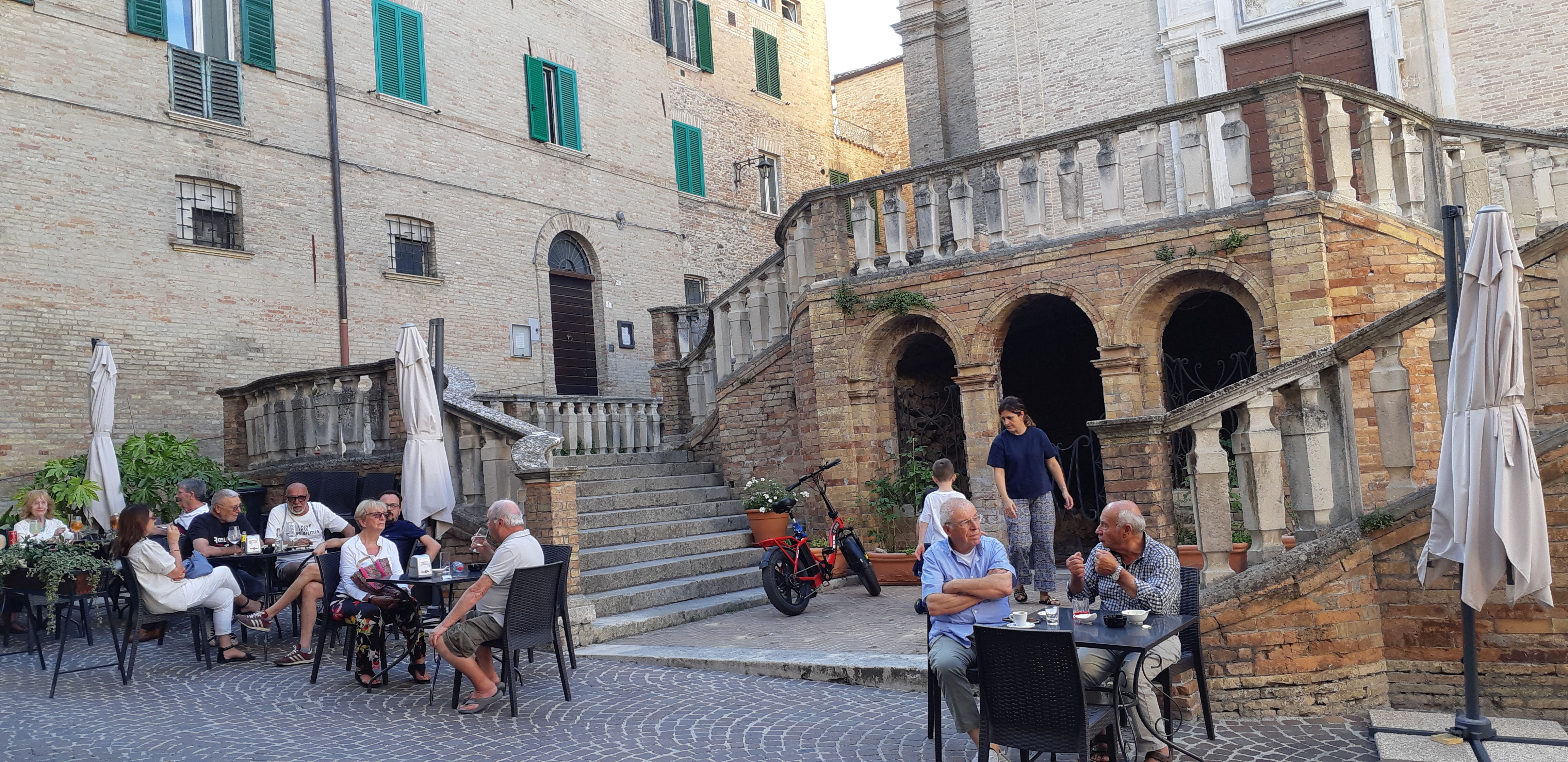
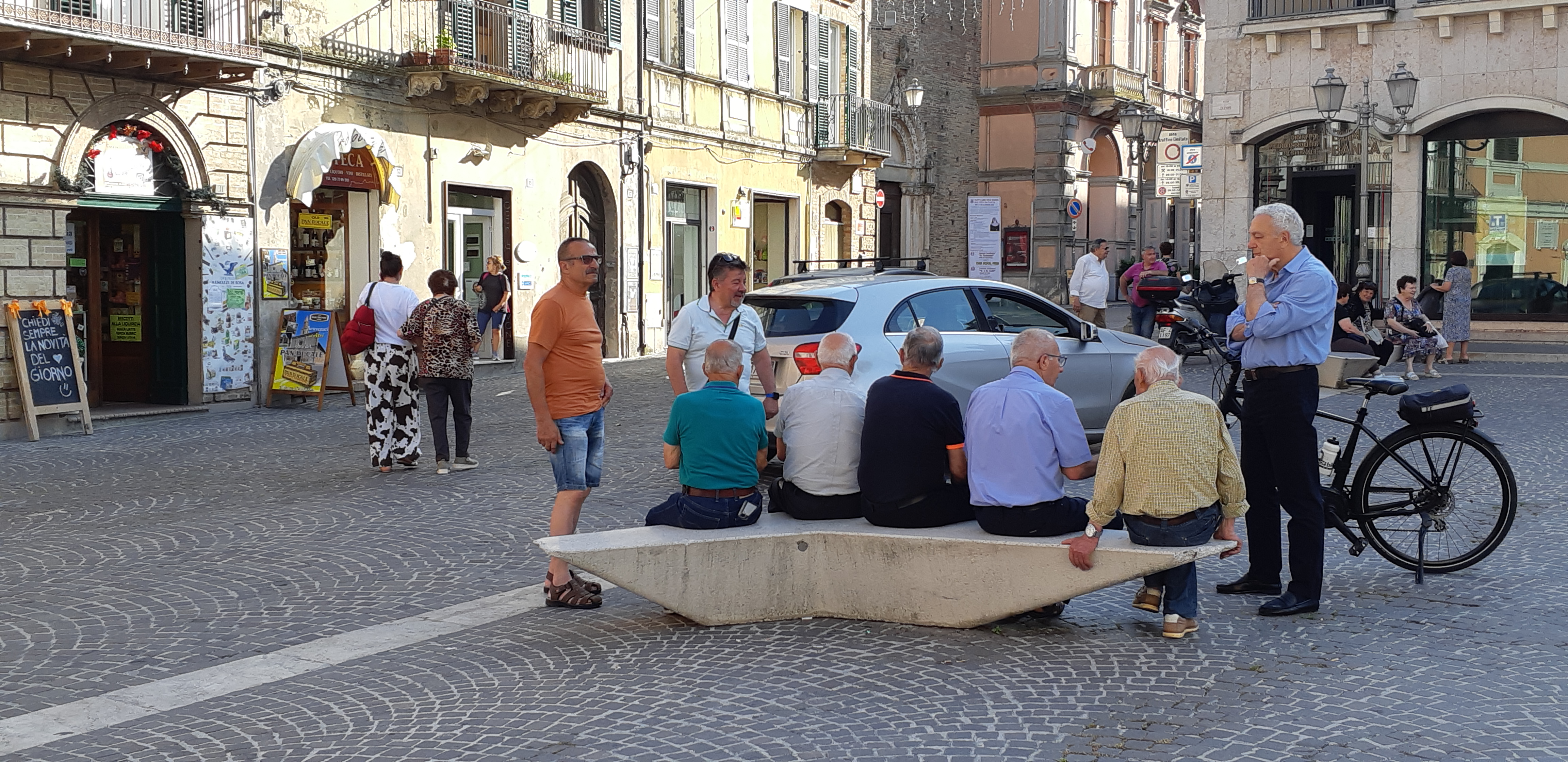
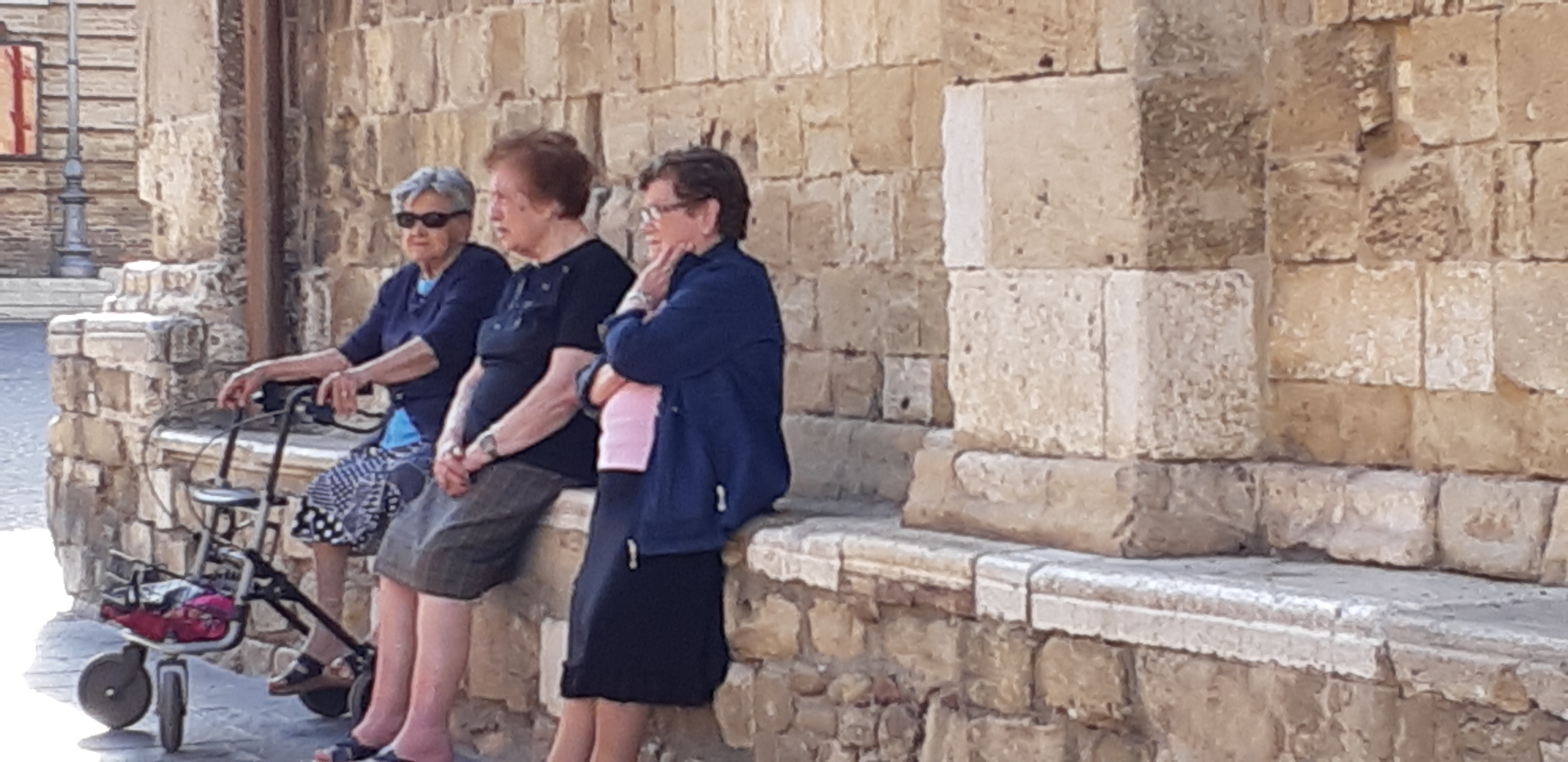
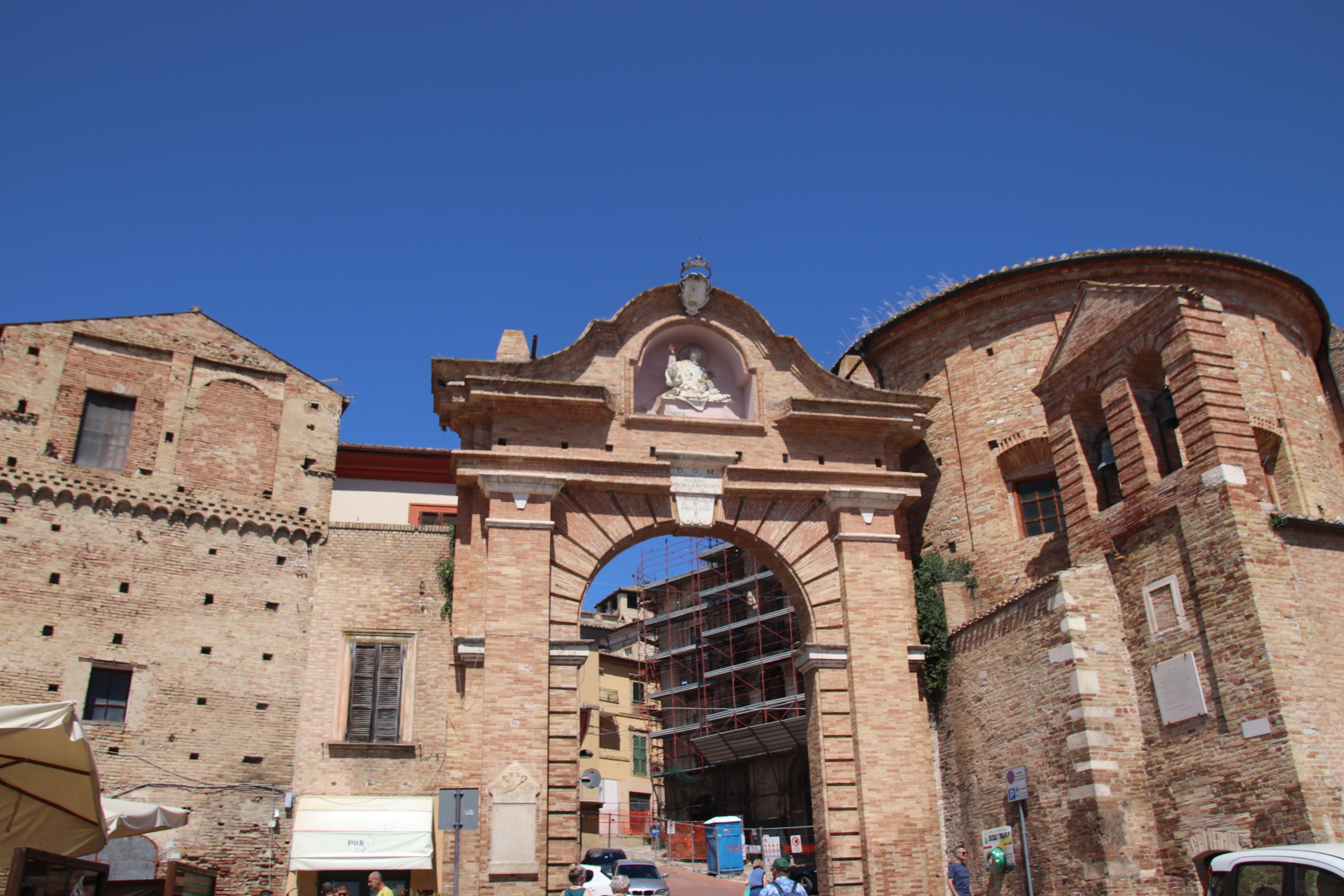
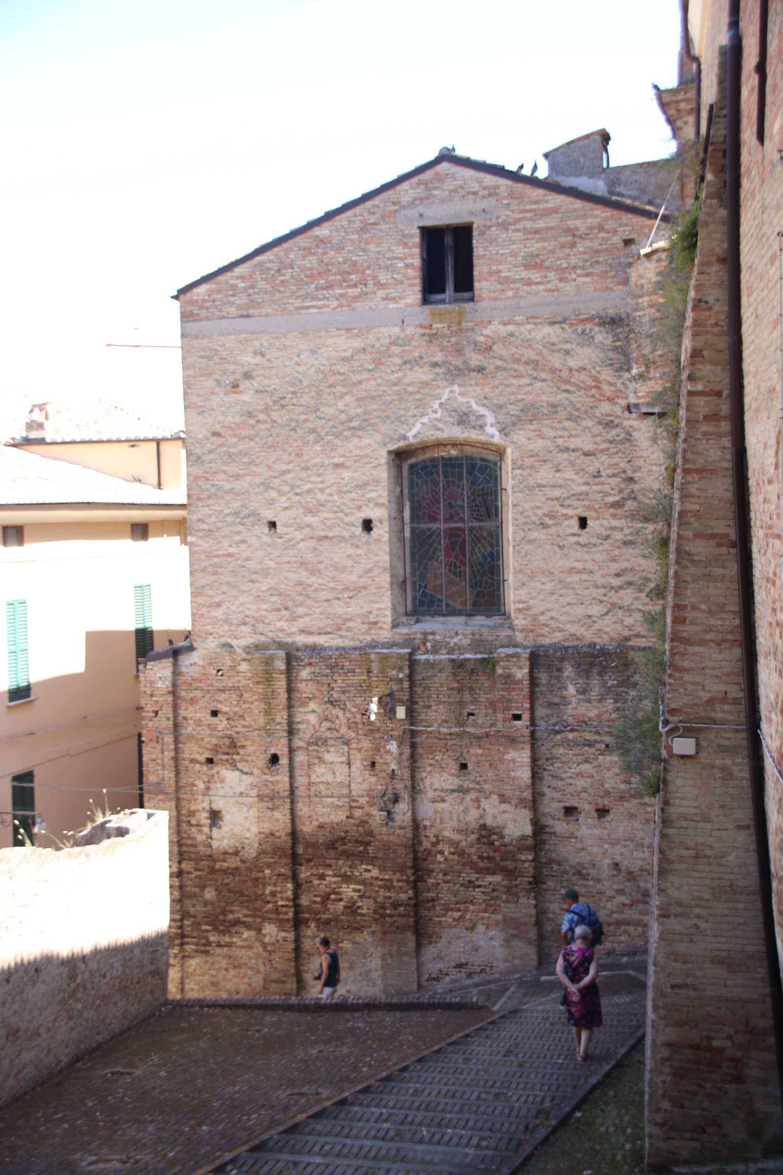
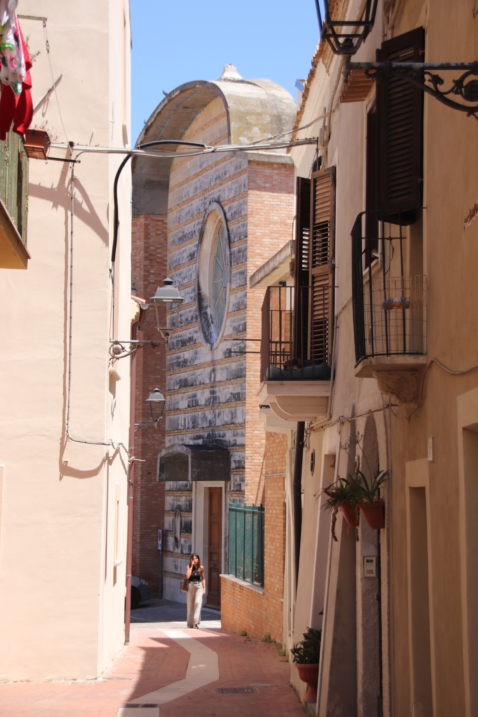
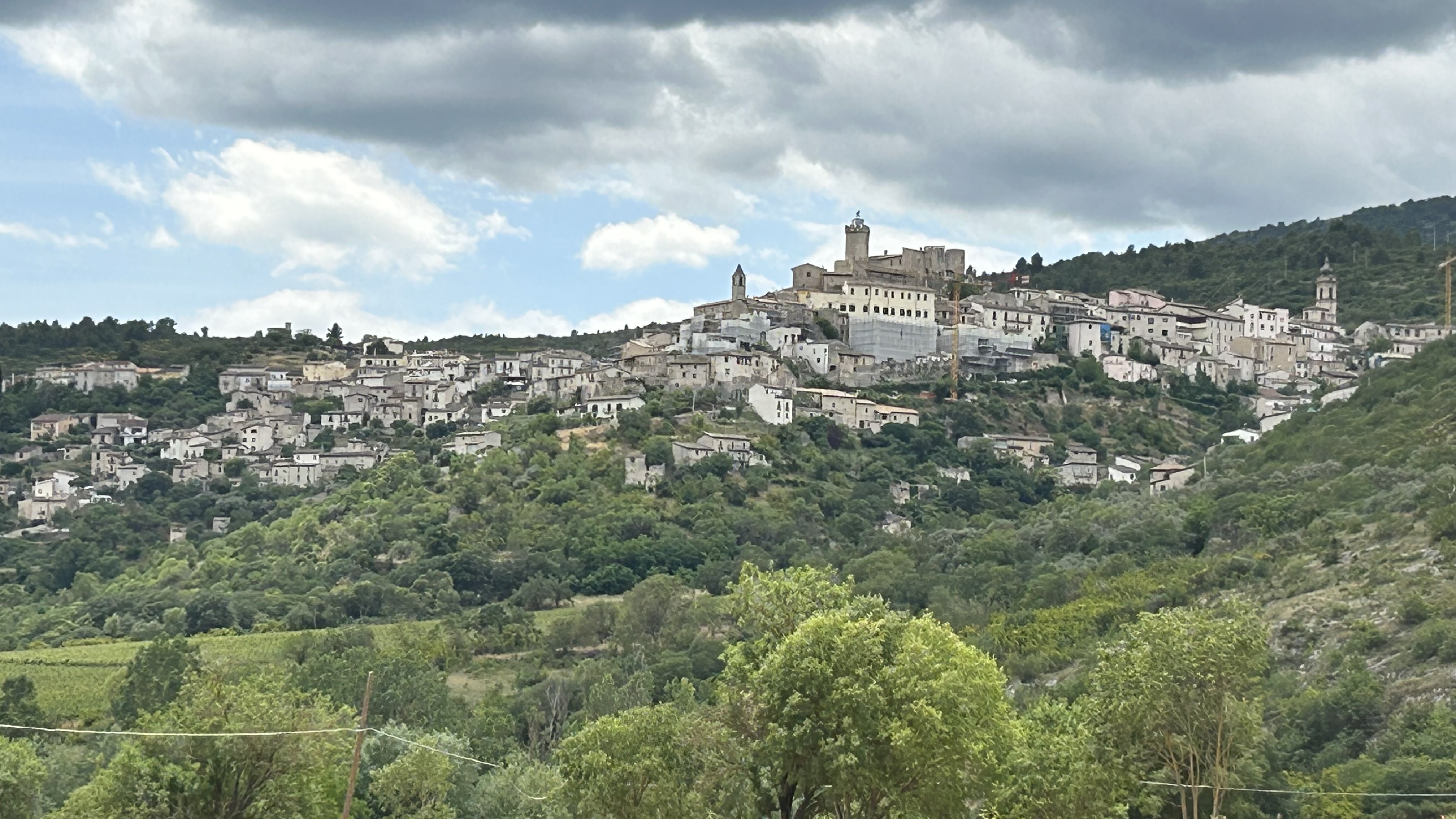
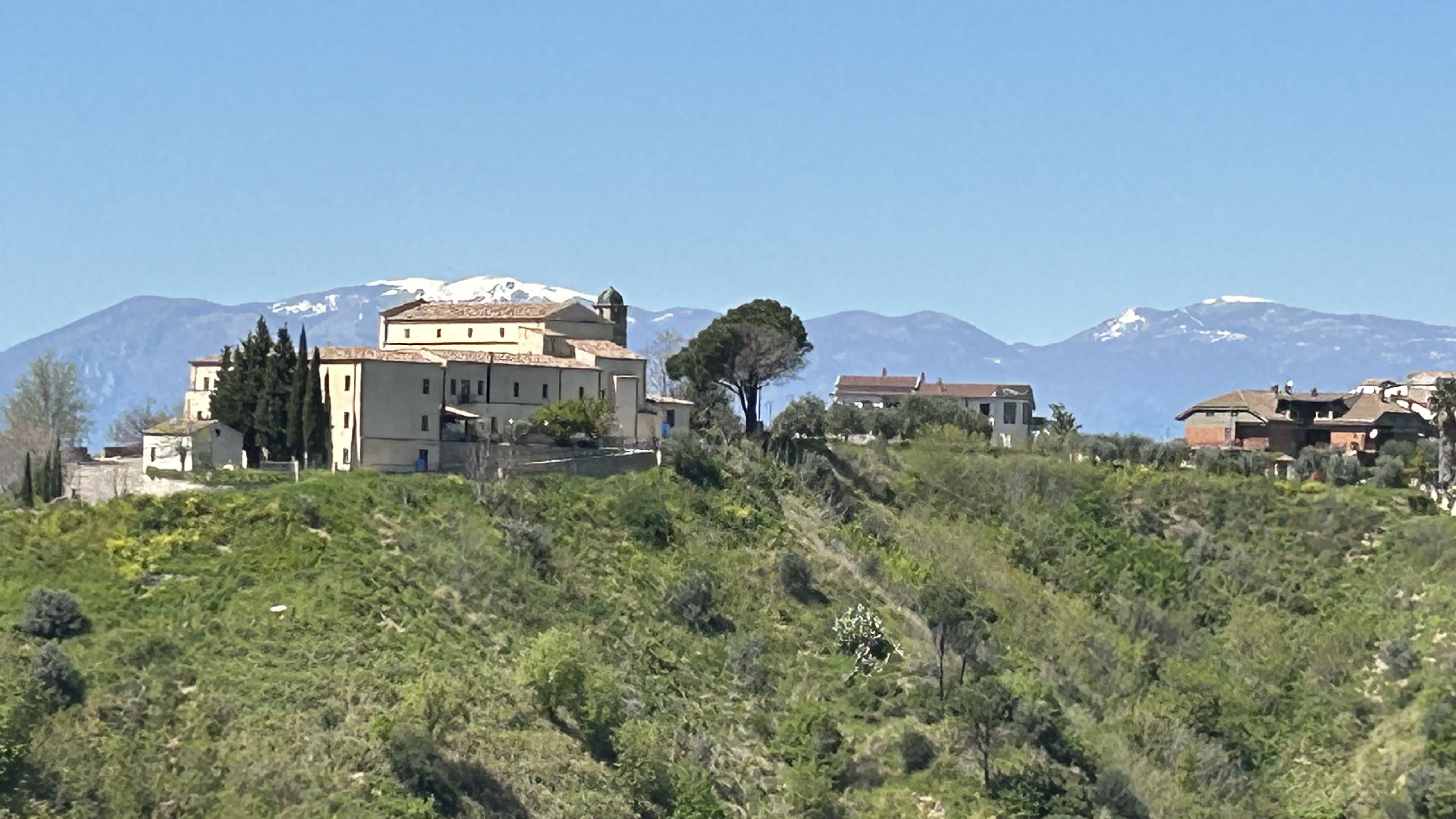
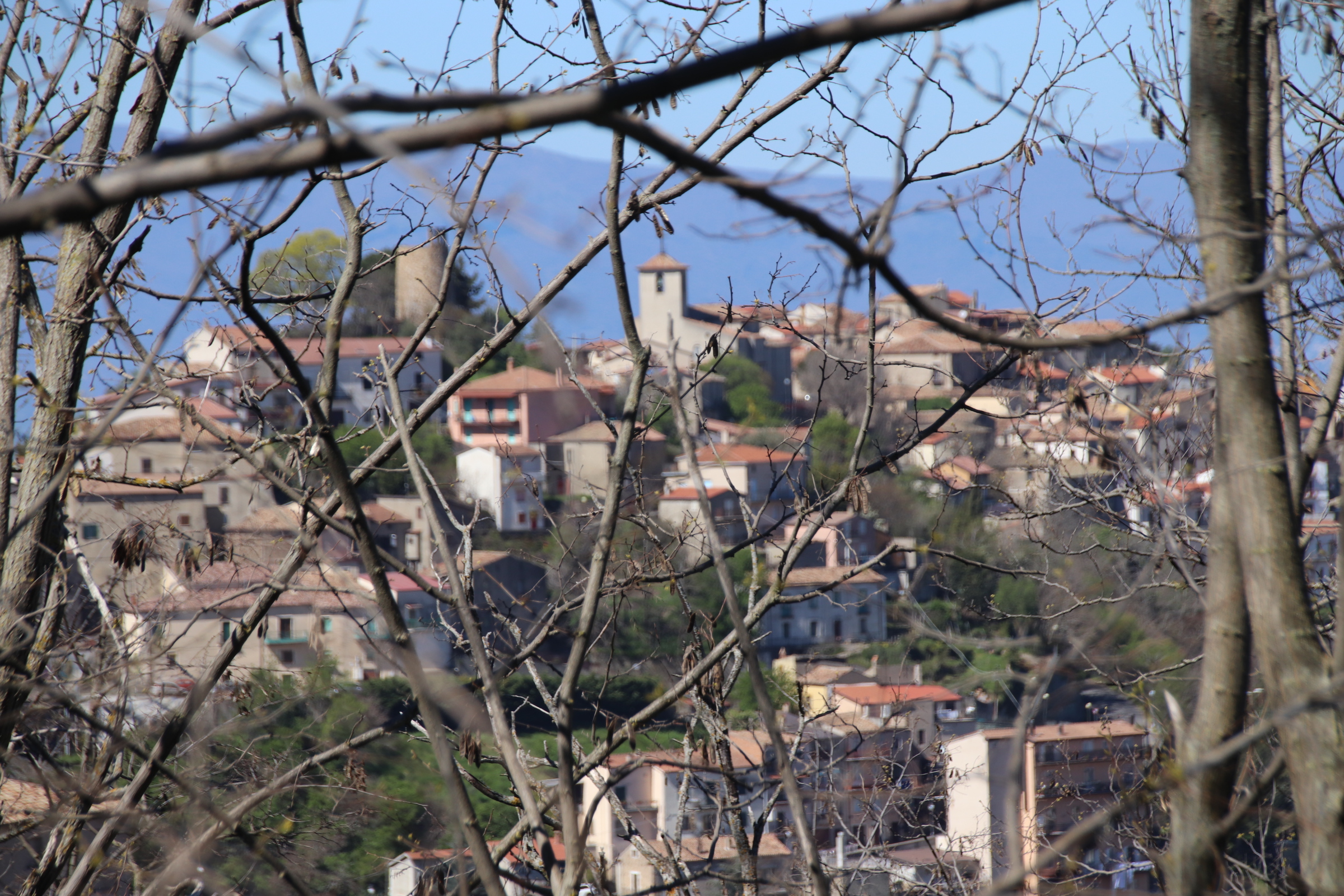
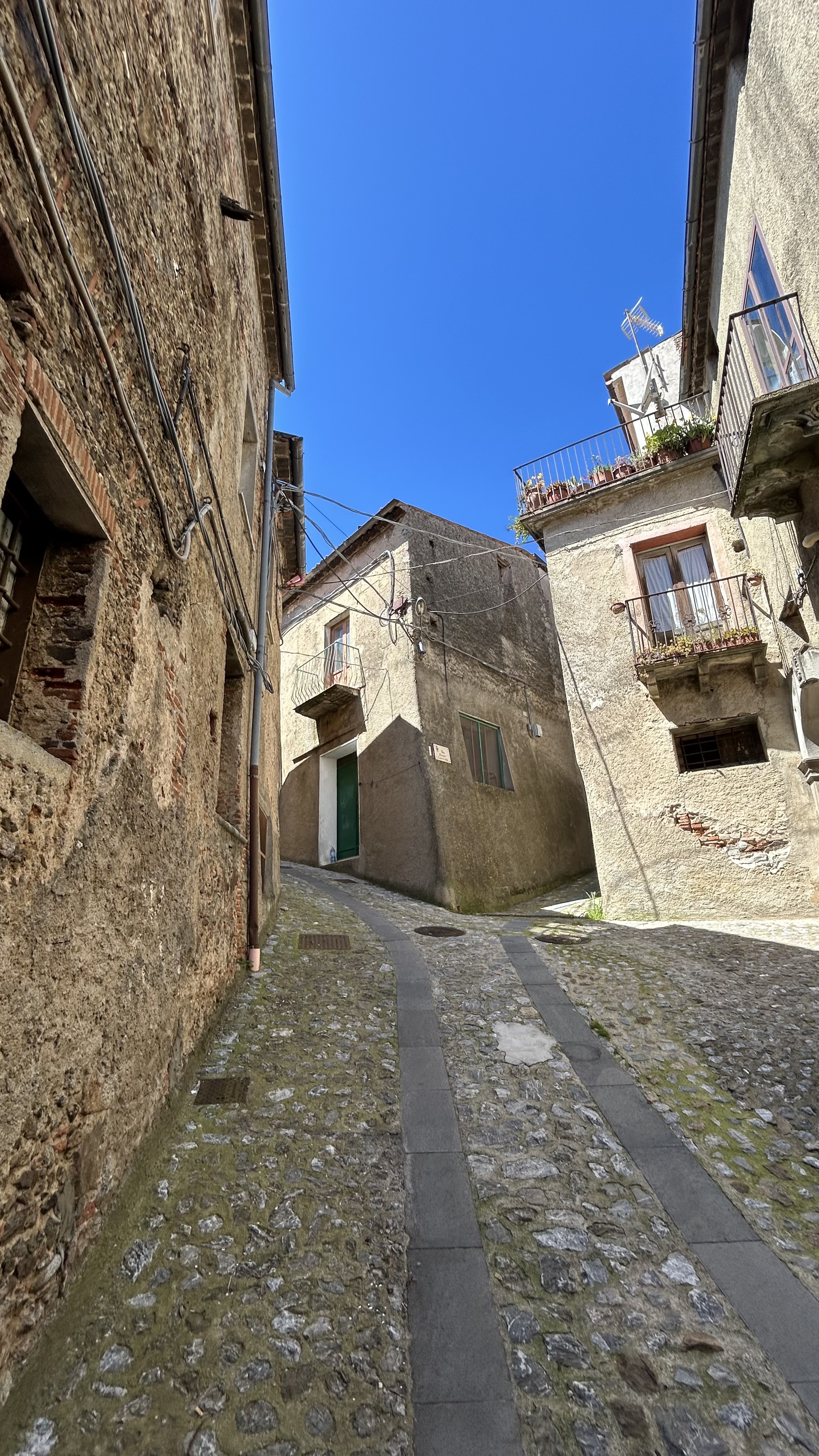
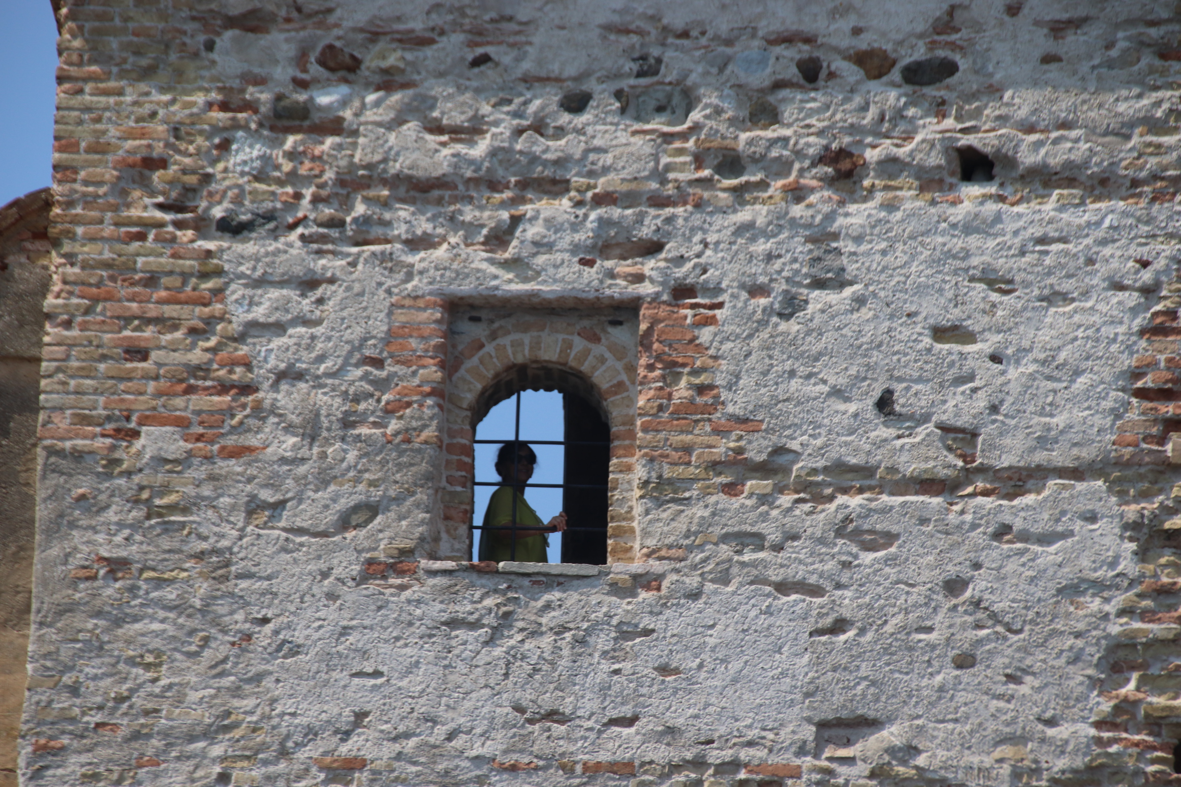
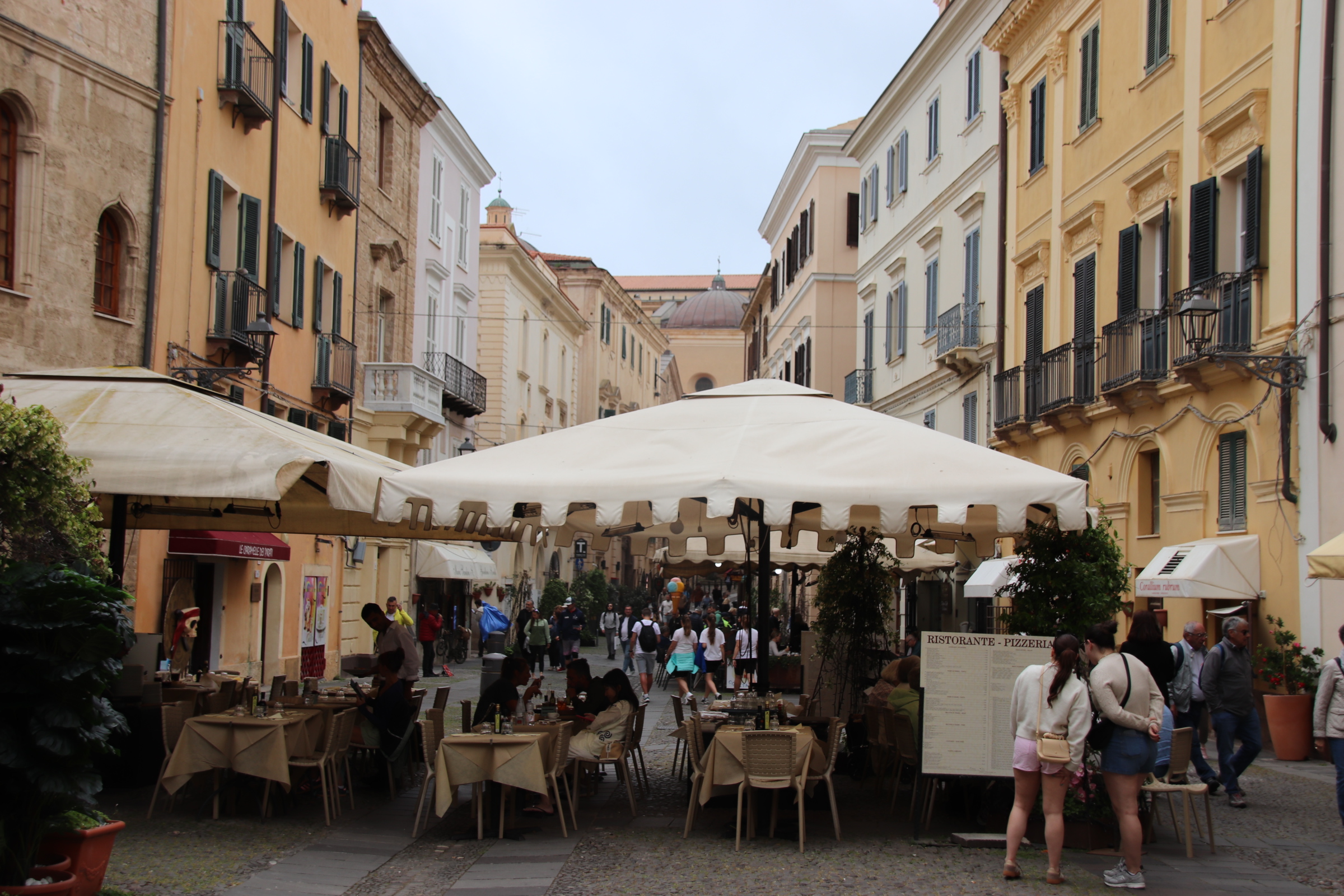
Castelpetroso is one such Milisano hamlet. We see it amongst the wooded hills & decide to turn off. First impressions: very quiet, very sleepy, very old. A handful of cars hog the shade in the square. A slope leads up into the core. There is little evidence of any life. A distant chatter of voices comes from an open window suggests a gathering is coming to an end, two guys working a gable end taking a break in the shade… & that is it.

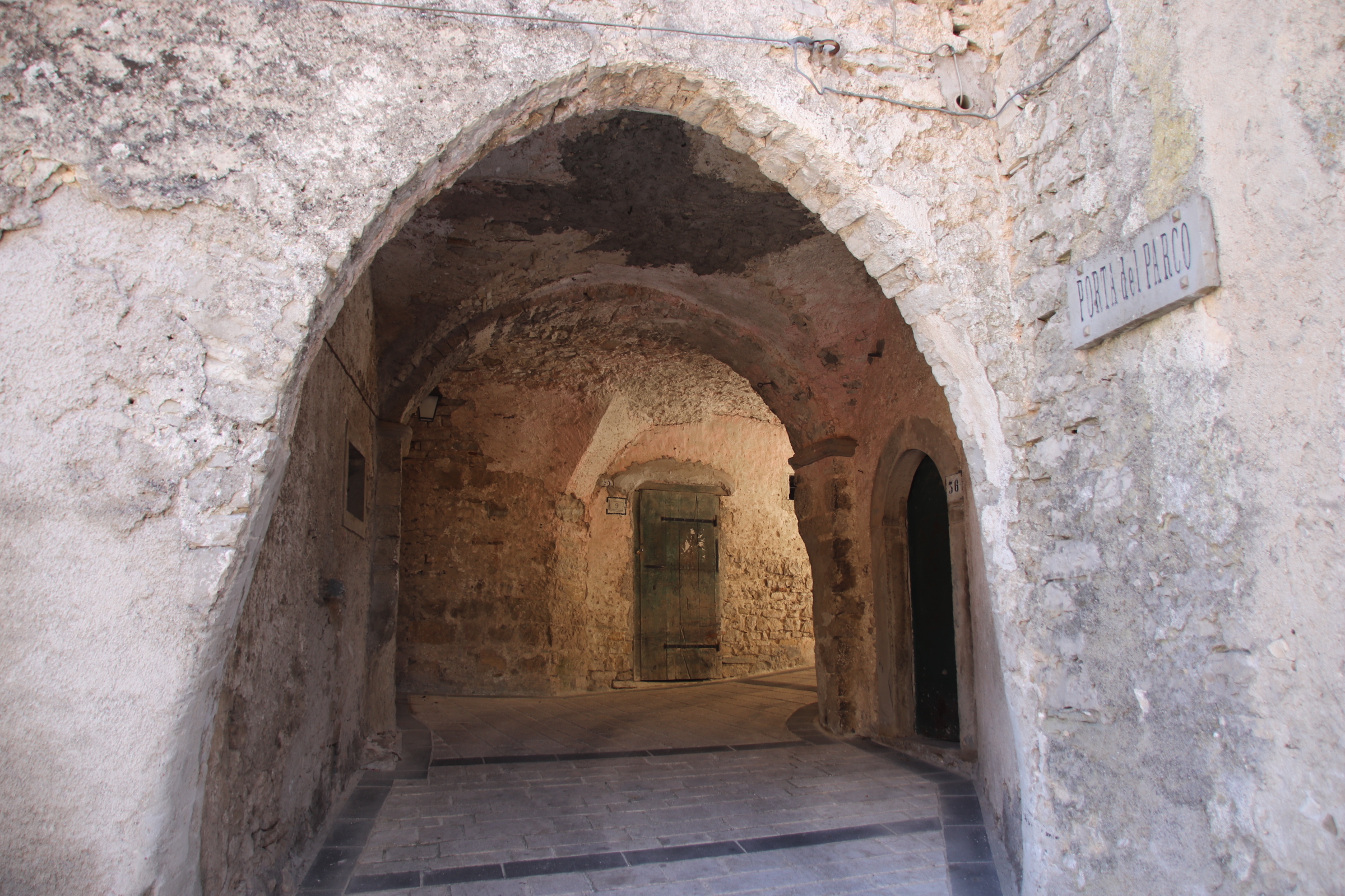
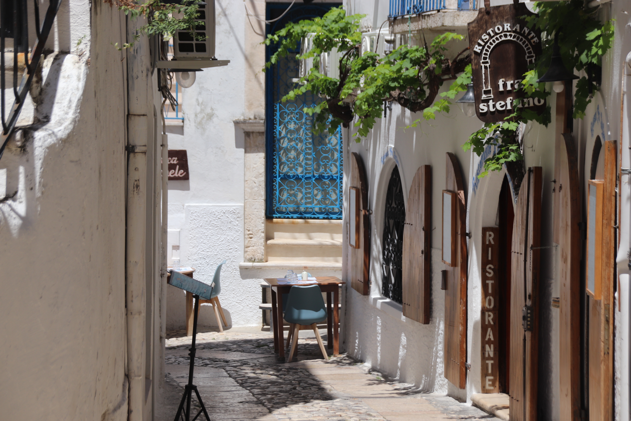
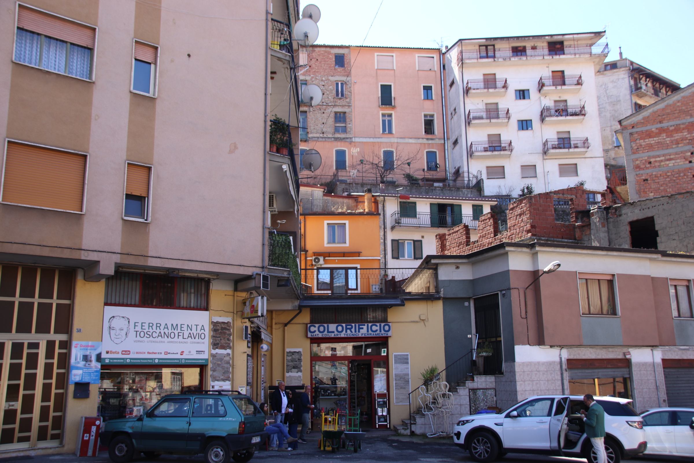
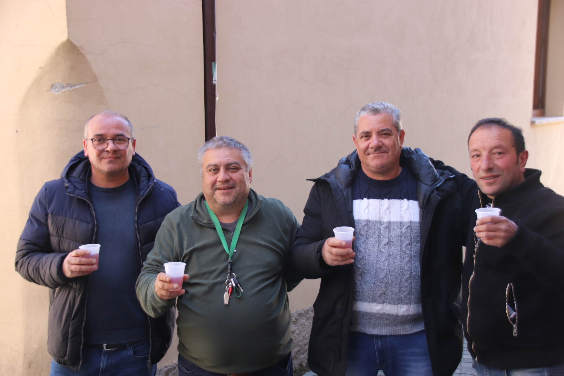
Then there is this really narrow alley; a couple of upturned barrels are set up outside a small door; a large, barking dog raises the alarm & a woman appears. ‘coffee?’ ‘of course, we are a restaurant. Come in & I’ll show you around’ in sign-languaged English. So we enter the smallest, cave restaurant in Italy. Cantina 1807 (Google it – only 5* reviews!).

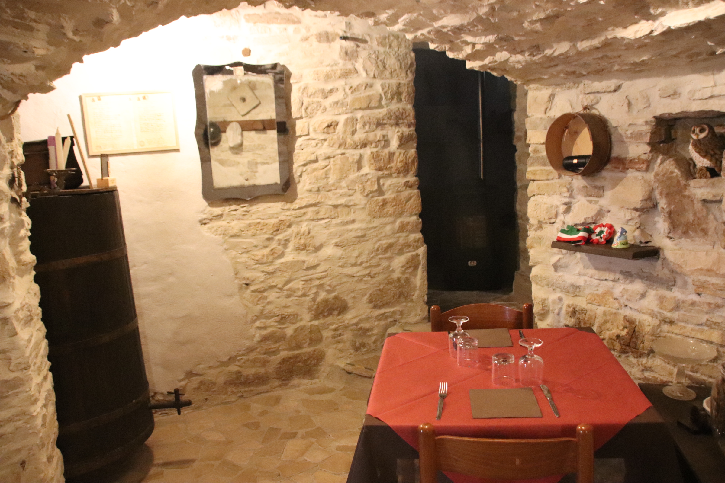
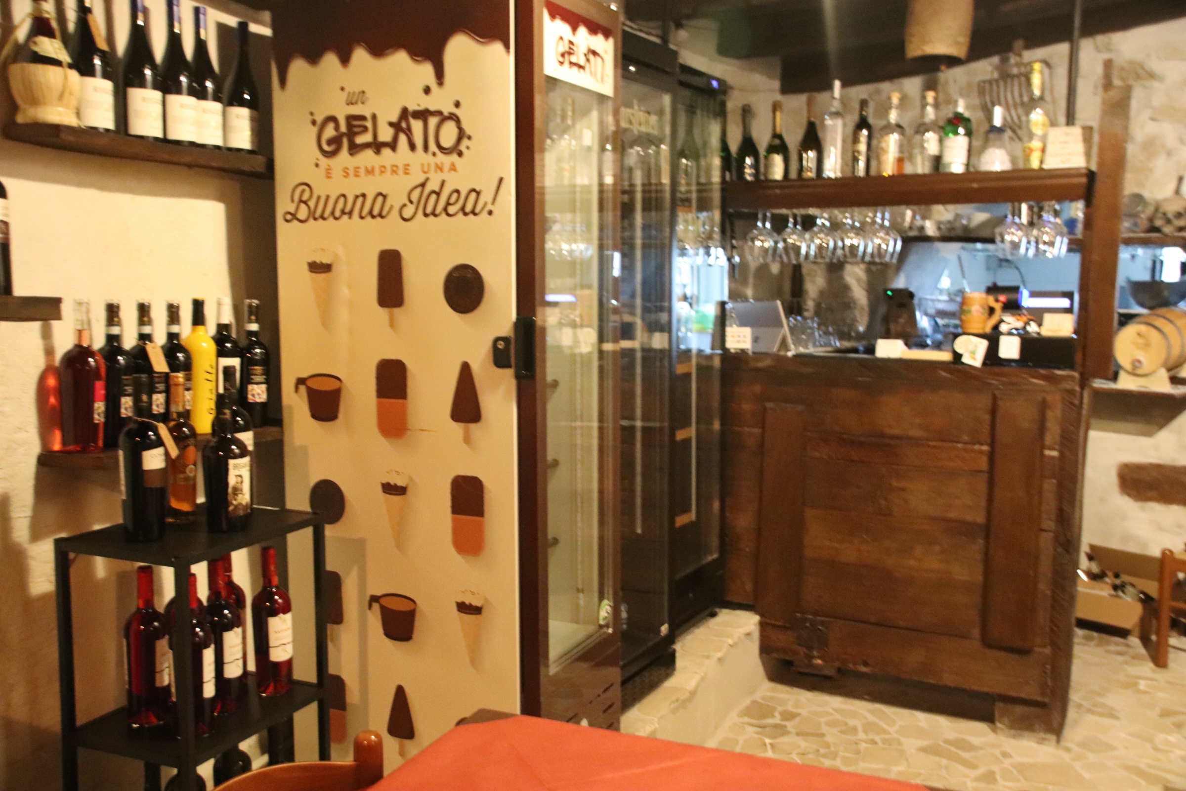
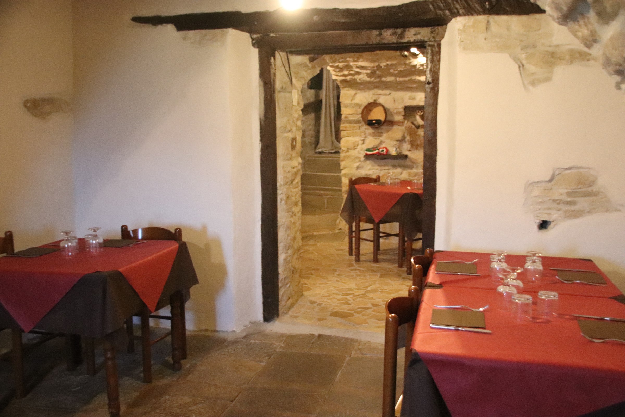
So proud of her restaurant; open every day from 1300 to 0100. She lives on 4 tiny floors with her husband, her 2 boys & her grown up brother, 2 cats & dog. She proudly shows the bill of sale from 1943 when hubby’s parents first bought it, & played the music that the old folk would sing & dance to on the wind-up gramophone in the snug. So welcoming, so proud. Sadly not open for lunch but we did see her really cramped kitchen & the day’s menu of four simple pasta dishes.

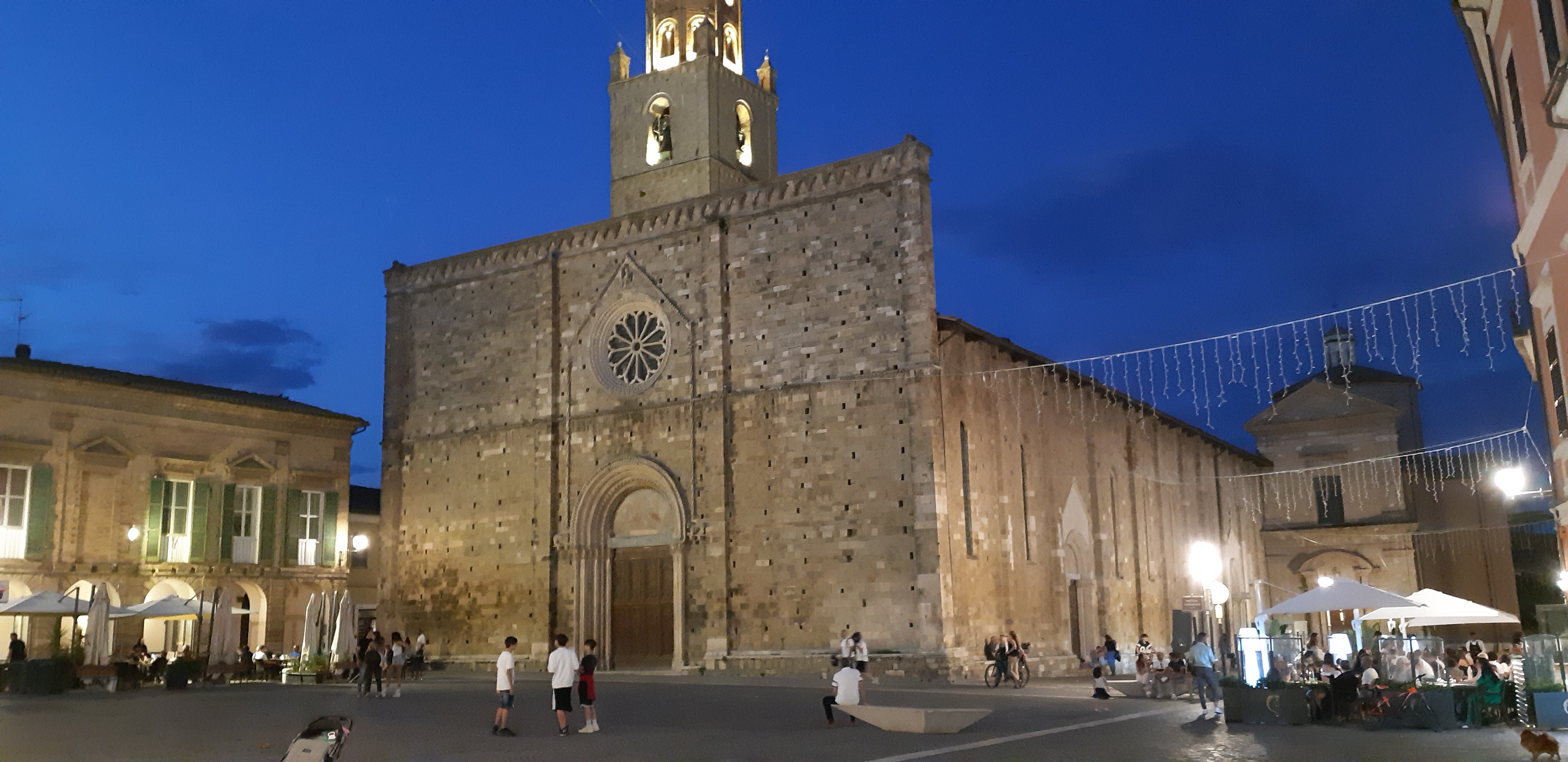
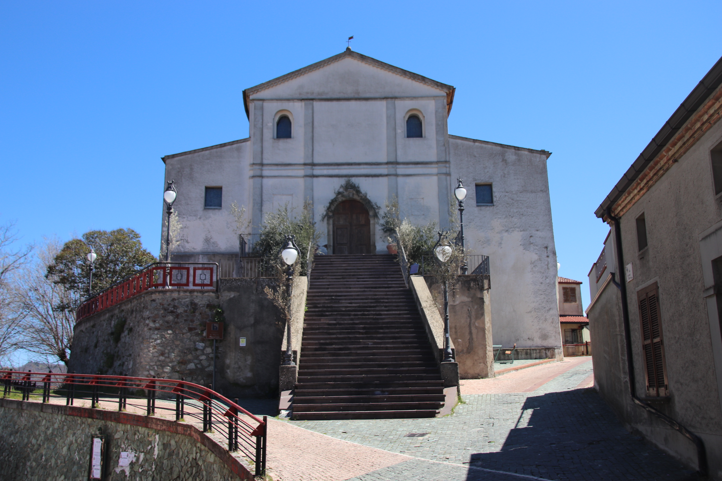
The village is also famous for a wonderful Gothic structure just outside in the woods – the Shrine for Our Lady of Sorrows.

The coast of Gargano National Park

San Giovani Rotunda is our base for exploring this part of northern Puglia & the especially the coastline of the Gargano National Park. This ordinary town is our home for the week. It lies on the edge of the vast, flat, sun-blasted plain of harvested wheat, in amongst the first lines of the olive regiments, at the bottom of a line of steep, rolling hills that necklace across the neck of this lump of hills & crags that has attached itself to the side of Italy, bulging out into the Adriatic.

The regiments of olive trees play host to thousands of cicadas. Whereas before, our days we were accompanied by a huge variety of calming bird song, here our insect pals set up a machinery of hard garating & grinding & heavy scratching on erratically patterned cheese graters to obliterate every other sound that might be considered attractive. Once up through the hills & out of the olive zone, the road winds & bends & roller-coasts through crags & rocks, tall pines & cedars, following the coastline around this lump of land & revealing glimpses of the so-turquoise sea through slight gaps in the tight vegetation.

Occasionally, haphazardly parked up cars on the side of the road are a clue to a rocky descent to an isolated cove or a pull-off provides a view point to a more organised private beach with the patterns of umbrellas occupying the sands.

Dotted around the coast of the Gargano NP is a necklace, bejewelled with ancient fishing ports & defensive forts. I’m giving you three here. All three have historical centres, usually facing out to sea, backed up by a modernised area of shops, cafés, bars & restaurants providing sustenance & entertainment. In June is spring season. So although all the tables are out and the smart boutiques are mostly open, the crowds have not arrived yet. There is no problem with parking, it is easy to get a table, & the streets are empty of foreign tourists. A great time to visit this attractive part of Puglia, where history & culture & weather all meet.

When in Ambruzzo we visited Vasto. The next largish, port town down the Adriatic coast is Termoli, in the Molise region. Full of memorabilia about WWII, this was an important, strategic objective in the Allied advance up Italy.

Peschici

Vieste

A meeting with the Angel of Death

Atri is a short drive from the house. It is small-town atop a hill, with the familiar medieval core of narrow cobbled streets, several ancient churches & a duomo, a couple of piazzas lined with a few bars & cafés and a couple of restaurants. A quiet, authentic Italian town.

Our journey there should have given us a clue about what was to follow. Setting the sat nav, the route took us down narrow, sunken lanes over hills & down tracks, past fields of harvested oats, black-trunked olives & grasping vines in this glorious landscape. In places, the road surface was reasonable, but in many spots there were dips & ridges & potholes of differing depths, hazardous at the best of times.

On a previous occasion we took a left too early and having driven for 2km down a rutted track ended up doing a U turn in a field of alfalfa to retrace our drive back up again.

Feeling mellow & replete after a wander, a beer & a splendid fish/spaghetti supper, we returned to the car. We sought to find an easier route home. But our three separate navigation devises failed to really register. So we sort of followed one out of town & waited for one other to follow & confirm our journey. Disappointed, we realised we were on the same road we came in on, but hey……..the next lane we’re told to take may be a bit narrow but it’s heading in the right direction.

Spirits began to sag as the road became a track & the surface deteriorated until the potholes merged together to create a scab encrusted, dry river bed surface up & down these hills & gullies – through a pepper grinder of a surface. This went on for kilometre after kilometre. Having descended gullies & climbed up the far side, headlights bouncing off overhanging vegetation, motor revving, tyres spinning for grip, stones & pebbles cracking the undercarriage, flashing yellow lights fleetingly appear in the far distance & then are gone – an obstruction? Warning of a deep hole?

Up one more Waltzer of a hill climb and suddenly the Angel of Death appears out of the darkness – a blazing Transformer rears above, at least eight headlight eyes on full beam blazing down on the car. This giant tractor ain’t moving. It edges forward, it threatens, it menaces. Its wheels are so high up there, piercing the blackness, chugging its throaty menace at the tiny black beetle that dares to enter its domain. The impersonal driver from up on high, obviously expects me to do the reversing into black darkness of hell.. with no effective reversing light! But this is what has to be done – nudging backwards along the track while my tormentor roars his engine & then, glibbly, with a final roar if rage, he clatters his way through the neighbouring field, leaving my world behind in silent darkness.Thankfully home is five minutes away. The stuff of nightmares!!

A day down the Trabocchi Coast

Penne marks the spot where we hit the Adriatic. Set back a few km from the sea, this is another ancient, hilltop village/town carrying the scars of the 2009 earthquake.

Once around Pescara, rebuilt following WWII, Ortona marks the start of the Trabocchi Coast. It was here in 1943, that Allied forces, working their way up through Italy, battled it out with Axis forces defending the Gustav Line that stretched across the width of Italy. In the resulting attack by Canadian troops, the town was obliterated so that all you see today, from the duomo to the tall, blocks of apartments, is a reconstruction of this historical port.

On the outskirts, the road hugs the coast with the railway, the main road & the dual carriageways way running through rich farmland of harvested oats, ancient olive groves & tall, trellises of grasping vines. Beach clubs, bathing areas, & mediocre holiday accommodation & assorted bars & cafes are evidence of the tourist holiday season.

The only saving grace is the Trabocchi that line this part of the coast. These are ancient fishing machines, set on stilts and attached to the land by long walkways. Antennae hold up a huge net which is winched down to the water and then back up, with the catch held within it.

It is unclear how they originated but one theory is that the local farmers built them to bring in & take out produce & equipment. When times got hard, they used these structures & nets to catch fish to supplement their land income. Many have now been converted into restaurants but these tend to be rather expensive tourist traps. We ate at one on terra firma – cuttlefish & chilli starter, grilled anchovies, seabream, clams & octopus spaghetti…oh yes!! Top of the world.

Our journey finishes at Vasto, a charming, historic town with loads of character & little evidence of earthquake or war damage. The duomo, palaces, castles, piazzas all have ancient origins. One small church down on the cliffs, has just one wall holding on to solid ground after the rest slid into the sea during a landslide in 1956.

The route that keeps giving

From Rome in the west, the autostrade rises into the Appenine Mountains. These stretch all the way down the Italian peninsula, the spine on which the nation depends. It means that most regions, & Ambruzzo is no exception, stamp their identity on coast, the Adriatic in this case, & crag alike. The commerce & industry of the suburbs soon relinquishes its grip on the land & the road gently rises through heavily wooded ridges of deciduous oak & ash & chestnut & walnut & countless other species I am unable to name. Ancient hilltop villages & stretched valley settlements, dusty & stoned, with a modernist halo of buildings around a historic core, appear at regular intervals, providing intrinsic interest to an already inspiring landscape.

The road continues to rise & travel through several dark, troll-favoured tunnels, the longest being 4 km in length. Each time we emerge & new scene greets us until we are truly in mountain land with truncated, helmet shaped peaks competing for height & reputation, bare of any real vegetation with only rough screed slopes trying to keep alive some scruffy bits of grass & an occasional stunted, spindly tree. It is like driving through a congregation of monks, moving through circular tonsures onto bald pates & soft rises.

Then it is out into the true Grand Sasso d’Italia revealing the true glory of Italy’s mountain core. Traversing lumpy peaks & trascending valleys on intestinal roads lined with abundant yellow gorse, the sight of ancient villages peering from balloons of foliage or tucked into the shelter of a valley side, becomes common place. The sat nav takes us down a slalom of a country lane. As the heavy, silver lined sky combines with the grey lumps of mountains, the yellow-brick road leads down through time, to the broad valley bottom.

Time stands still – it could be Roman times through rich woodland, the occasional small patch of tilled earth hosting a small olive grove or a handful of almond trees. No vehicles, no buildings. Just interacting with the scene & the place.Eventually the trip is complete. We descend from the heights of the Appennine passes to the coastal strip of the Adriatic.

Back to reality – out of town shopping centres, scruffy developments, uninspiring landscapes. But what a glorious journey between the two seas.

The impressive mountains of Calabria

Calabria is shaped like a long tongue with all the taste buds in a narrow coastal strip around the low edge of the thick muscular mass of mountains & valleys. Travelling up the coast for most of the day we were overawed by the layers of brooding storm clouds that hid the mountains beside us. On the coast we were in the sun, but the tops of the mountains beside us were hidden by intensities of grey. We were turning inland to expereience life inthe mountains. Our destination was an agritourist centre in the heart of the Calabrian Mountains, within the peaks, lakes, streams & valleys that make up the Sila National Park. To reach our goal, we turn up through the clouds & grey pines where trolls & goblins hang out.

The road passes through several tunnels, the longest 1.5km, & we emerge into brilliant blue skies. Our journey has been transformed.

Our accommodation Is on a very efficient, working farm. Agritourisimo BioSilva has several large function rooms, a farm shop, restaurant, & rooms for overnight guests. Being Easter, the place is absolutely heaving during both Sunday & Monday, at least during the day. Some very classy cars drop off 100s of men & women dressed in black. I won’t mention the ‘M’ word but there was a certain feeling. 😆. Once the limos & mercs took their human cargo off home, we were the only guests there!!

Ahead, farmed hills & timbered ridges veer off around us. Those wonderful intestined roads, take us past open land, up & down & around sweeping bends over gushing streams, through giant pine collections. Whenever the landscapes open up, the hillsides are dotted, decorated, with white villas & clusters of traditional villages topped with clay tiles & a church spire. It’s difficult to tell if these are new builds or renovations. The countryside feels prosperous with an overall veneer of affluence although life seems harder in the towns & villages.

In the far distance a rim of peaks is topped in brilliant white, snow capped to show off the contrasts of stone structures & pine & harvested fields. Up here, 1,000 metres high , snow still lies on the ground. Locals drive up here with picnics & barbqs, with family & friends to take in the clean air & the freshness of the mountains.

There are numerous villages & small towns spread around the mountain scenery. Acri is just one – a modernish town that settled around the foot of an ancient village perched at the top.

A tumbling watchtower & the church of Serricella di Acri overlook the modern town below. A few locals still in this ancient hamlet but most of the small houses have now been taken over as holiday homes.

I made friends with these guys. We shared plastic cups of local rose & stories of pensions & childhood in the area.

The coast road north from Lamezia

Today, it’s north up the coast road to Paola. Leaving Lamezia is dead easy. Once through the residential suburbs (we never came across any historic centre) it’s head for the sea & find the super straight coast road that runs as straight as a die, parallel to the water on one side & the railway track on the other, occasionally changing their relative positions with each other in a figure of 8 manoeuvre

The road out of Lamezia is lined for several km with empty or derelict, mostly shuttered & overgrown, hotels, apartment blocks or holiday complexes. It is difficult to see whether they are in winter mothballs awaiting resuscitation in the spring of the new season, or whether they have seen better days & are waiting for a developer to breathe new life into the area.

Eventually, these holiday centres & some rusting industrial works give way to a km strip of littered, soft grey, volcanic-sanded beach on one side & the brooding, cloud-covered mountains of the Calabrian spine on the other. A brooding, dense greyness press down onto this range of mountains, a menacing heaviness of threat & doom, leaving the clear blue heavens for the beach.

The beach is waiting for its winter storm damage to be cleared, littered as it is with drift wood, bamboo, old tyres & squashed plastic.

Every few km the mountains recede slightly. Over the centuries humanity has developed settlements on these small pieces of land.

At Coreca, the coast does a little wiggle inland & a narrow arm disappears into some houses & under the railway line. As is my way, I follow this lane & come out to a lovely small beach.

Oh yes….a bar & restaurant, the Mare Blu open & serving; initially, two glasses of cold vino blanco; the sun is shining, the ambiance idyllic; a light lunch & wine is ordered & consumed; a nap just happens. Perfecto. How else to start an Italian adventure.

Escaping Sirmione

It is the day to come to terms with the Lake Garda ferry timetable.

Easy you may say. Yes, but only after careful study. It details all routes from all towns in no particular order other than north to south on one side and visa/versa on tother. An occasional ‘fast’ ferry confuses it more by missing out certain stops and reducing journey times. The danger is that by timing your arrival at one place you then have limited options to get back and if that boat is full, you are stuck for several hours. Luckily this never happened and our journeying was great fun & really cool (in more ways than one – lake breeze ruffling my hair and wonderful views of private islands, elegant gardens, castles & turrets & spires).

The first journey was down to Sirmione, an hour away on the first, fast boat; a bit of a shudder but glorious sights of lake craft – chugging ferries, elegant yachts, sleek playboy motorboats leaving crisscrossing wakes of leaping horses to mark their routes.

From our crow’s nest on land we can see Sirmione down on the lake in the haze. It lies on the head of a long, thin peninsula that stretches out from the south shore. In Roman times a villa stood here amongst Cyprus trees, olive groves & shaded gardens with thermal baths as company.

Its unique position was not lost in medieval times when the impressive Rocca Scaligera castle was built with typical castle features – drawbridge, castellated walls, a Rapunzel tower, moat …. oh and a large, bright pink, plastic crocodile.

However, Sirmione is on the radar of every tour operator from Frankfurt to LA and suffers with tourist groups crammed into dusty, hot, cobbled streets. The outside car/coach parks are full & ferries offload their full capacity to contribute to this bad tempered melee.

“Quick, consult the timetable. There’s a boat in 30 minutes to Gardone. We can get off there, and wait for the 3.05pm to Salo….maybe grab a light lunch & a glass of wine…….much more civilised”.

Bliss!

Blazing the coastal trail to Bosa

My biggest surprise in driving the coast road south to Bosa is just how green & flowered the island is.

A patchwork of hay grass, some lying flat awaiting raking, mixes it up with meadow flowers of white & sunshine yellow. Lines of mixed deciduous woodland trees mushroom up alongside stretching olives & the occasional patch of pine. Lightbulbs of flowering gorse blaze in clumps, illuminating the course of a track, the side of the road or highlighting a crag of rocks or a tamed wild rockery. The colour palette is so varied, blues, lavenders, pastel purples, even lilacs thrown in there along with a brief flash of rather garish crimson poppy and all against a background of greens on one side & the turquoises of ocean & sky on the other.

The route attracts bikers & enthusiastic cyclists. For the most part the road is wide, the surface smooth – a joy to drive/ride. There is no room for cafes or bars or tourist tat here; Just the occasional view point where riders can share anecdotes & appreciate the serenity & beauty of the open road & the clear blue sky.

Don’t be fooled by the functional feel of the modern buildings you first meet as you enter Bosa; nor by the very ordinary street market, which by 1pm consists of a few lonely stalls, unloved & seemingly unwanted by their traders.This is one of the most beautiful villages in Italy.

The old town lies at the bridgehead over the Temo River. This meant that it prospered – agriculture was king on the plateaus inland with the water transporting grain & products to & from the coast, whilst the river also provided access to the sea, and fishing and trade created wealth from the surrounding ocean.

Ignoring the gate keepers at the small restaurant gurding the entrance, head into the maze of narrow cobbled streets/alleys of the old town.

Here, the multi-storeyed terraces stretch so high above that the shadows reign supreme and the sun has no hope of surviving down at street level.

The river is lined on both sides with buildings dating from past times – on the far side mostly warehouses stretch in an unbroken line from the bridge towards the sea. Opposite, warehouses share the riverside with merchant’s houses.

Domes, steeples flaking facades peer over each other and jostle for position alongside the bank providing a textured backdrop of colour, texture & position.Above the village, the 14th century Malaspina Castle stands guard, protecting the village from ancient enemies & invaders.

Alghero mixes it up with cobbles & squares on the island of Sardinia

Having landed in Olbia on the north-east of the Italian island of Sardinia late on Saturday night, we negotiated the intricacies of a hybrid hire car with only 1,500km on the clock, the small digital display of Google maps on a phone & light RAIN through dark streets to reach our first night’s accommodation. Our mood was not lightened when we were unable to remove the key from the door once I had pushed it open & the lovely night porter could find no other rooms to offer us. Chairs were used to prop the door closed overnight.

The following day required a couple of hours drive the town of Alghero on the west coast. I expected inland Sardinia to be like Corsica so it was a pleasant surprise to drive long straight dual carriageways through wooded flatlands of flower carpets & fresh leaved trees. In the distance ridges & peaks of the inland mountains kept us company.

Approaching Alghero from the north gave us our first taste of Sardinia’s glorious beaches. Well, it has to be said that it was a bit of a before & after. The road runs right beside the water. At beach number 1 the winter winds had dumped copious amounts of seaweed on the sands to dry in huge clumps.

We were assured about the coming summer by this poster behind the beach:

Beach number 2 had no such obstacle preventing access to the water and we spent a couple of hours taking in the sun & watching the antics of the high-flying kite surfers.

Old Alghero is surrounded by typically functional, modernish buildings for commerce & housing. The city was founded in the early twelfth century. The Aragon crown first expanded the port. The Hapsburgs then colonised the Island, and Alghero in particular. The ancient curtain wall with its strong battlements connects impervious towers and piers to circle around to face the sea.

Within it, a maze of cobbled streets are lined by dusty, medieval buildings with low doors & tight windows. History & tourist tat ( the most apparent being copious amounts of red coral artefacts) combine to to pull in large numbers of visitors. The sun finds it really hard to penetrate these historic streets, only succeeding where attractive squares open up to umbrellas, cafe/restaurant tables, gelatine stalls, imposing churches & chapels.