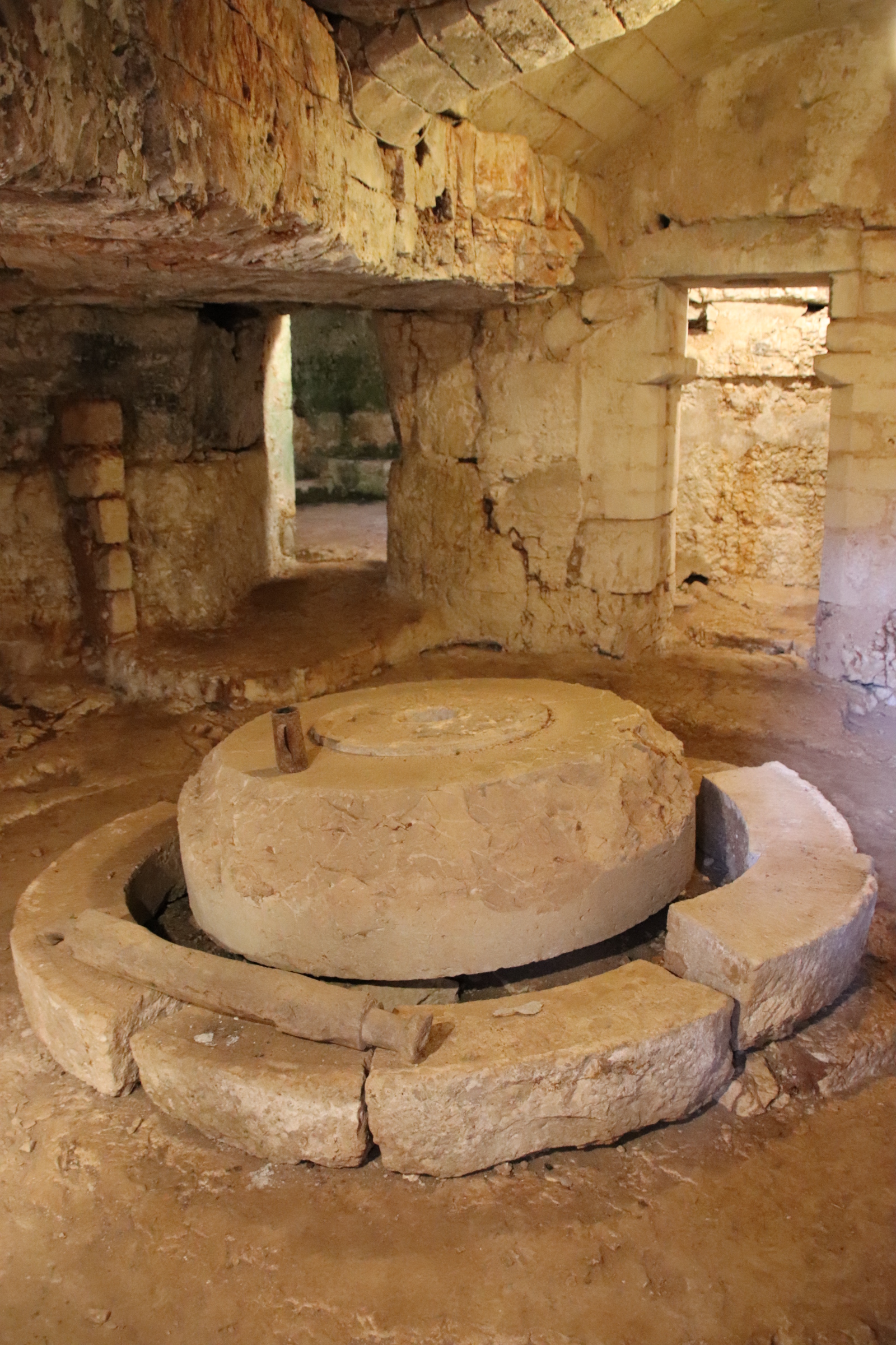
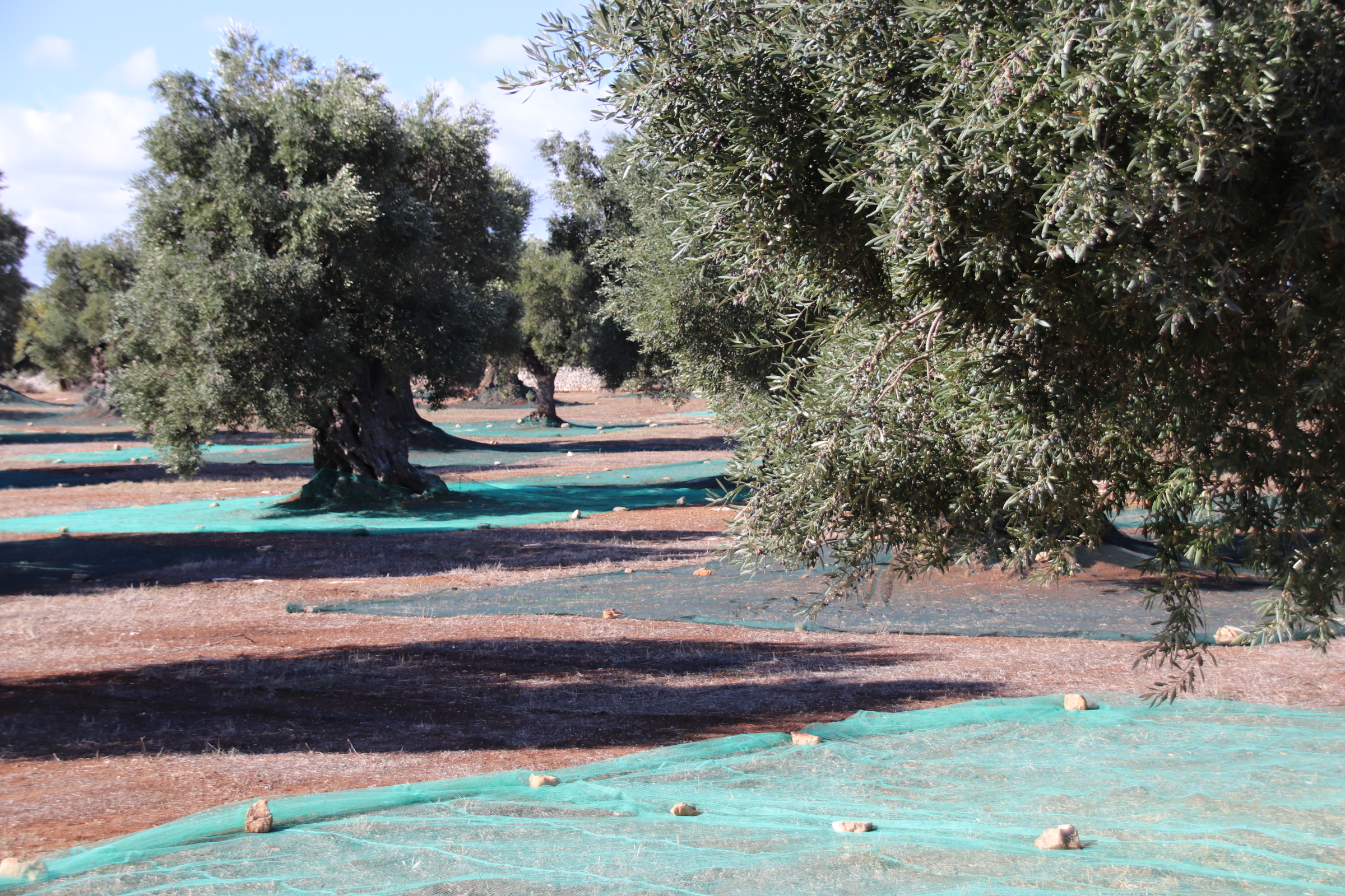
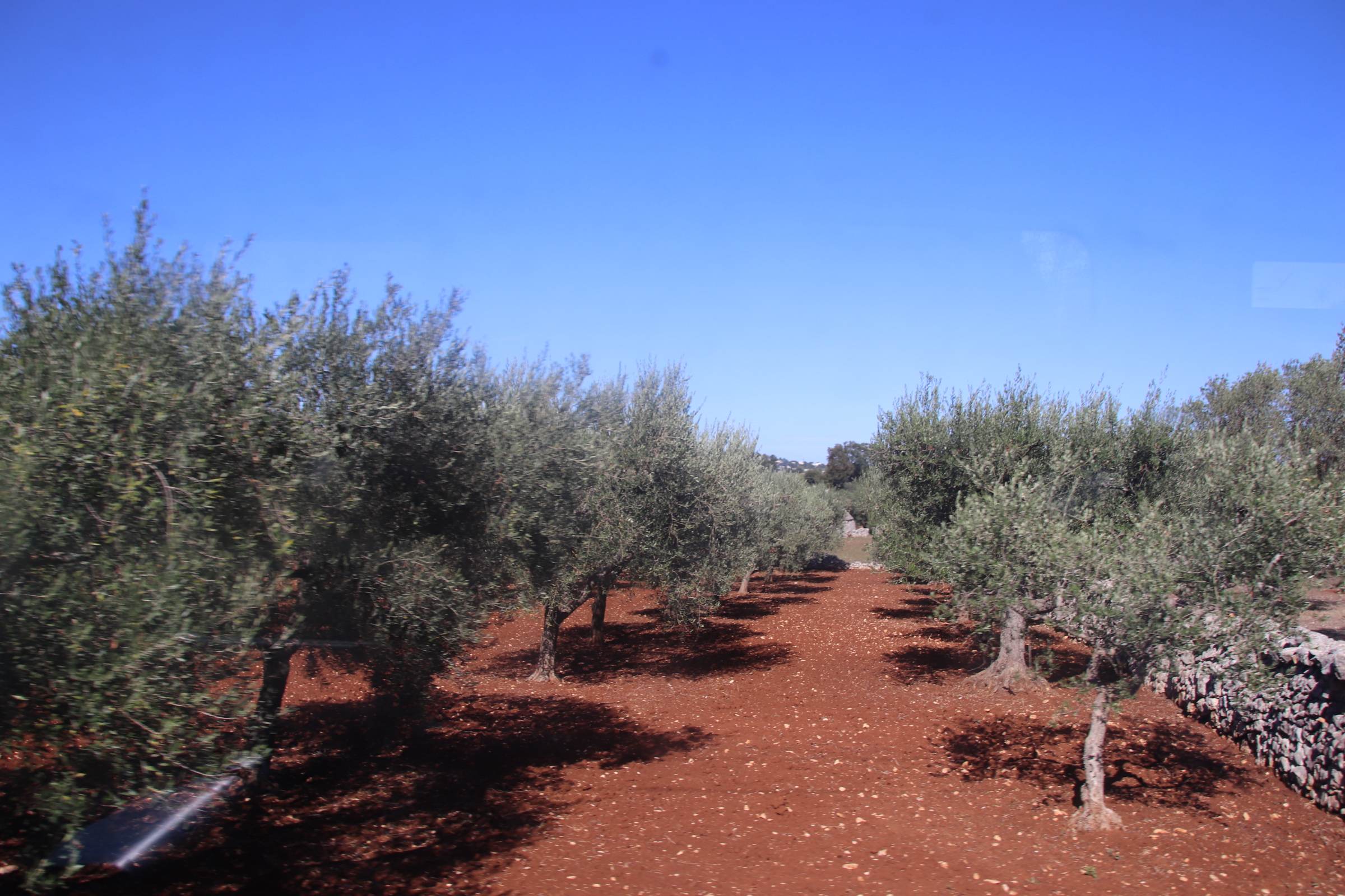
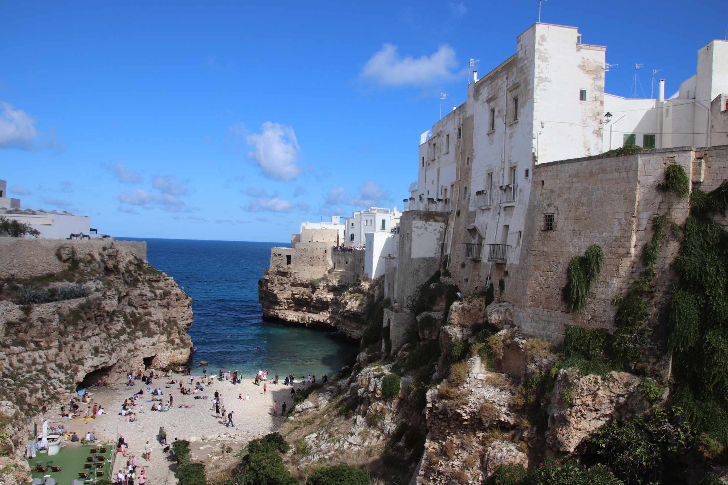
I am back in my beloved Sicily. This time exploring the south of this wonderful island – full of history, culinary delights, fantulous wines, cliff-clustered, white-faded villages, turquoise waters, dusty, characterful facades mixed in with grand fresco-blinding hotels & villas; and always against the backdrop of smoking Mt Etna, and the rippling waters of the Mediterranean ocean.
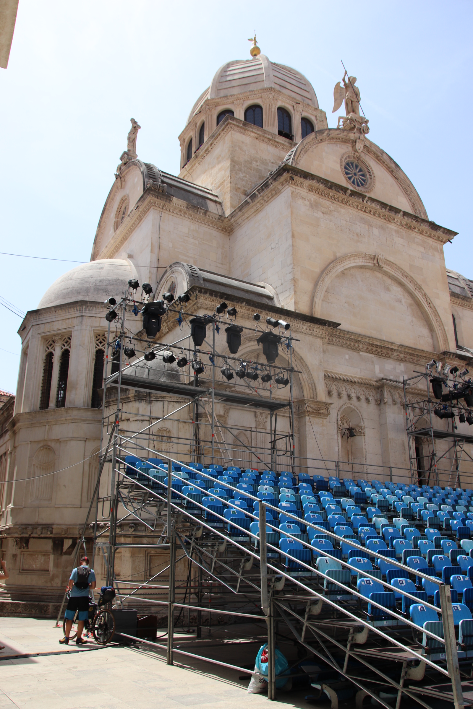
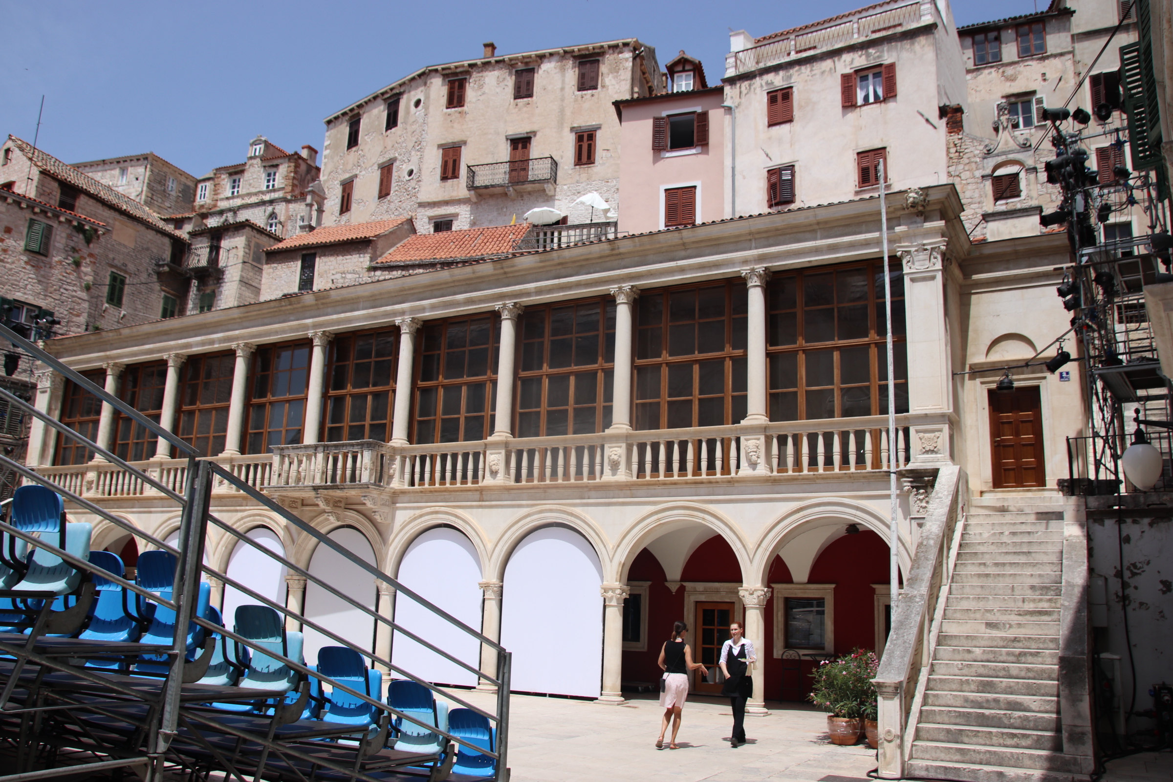
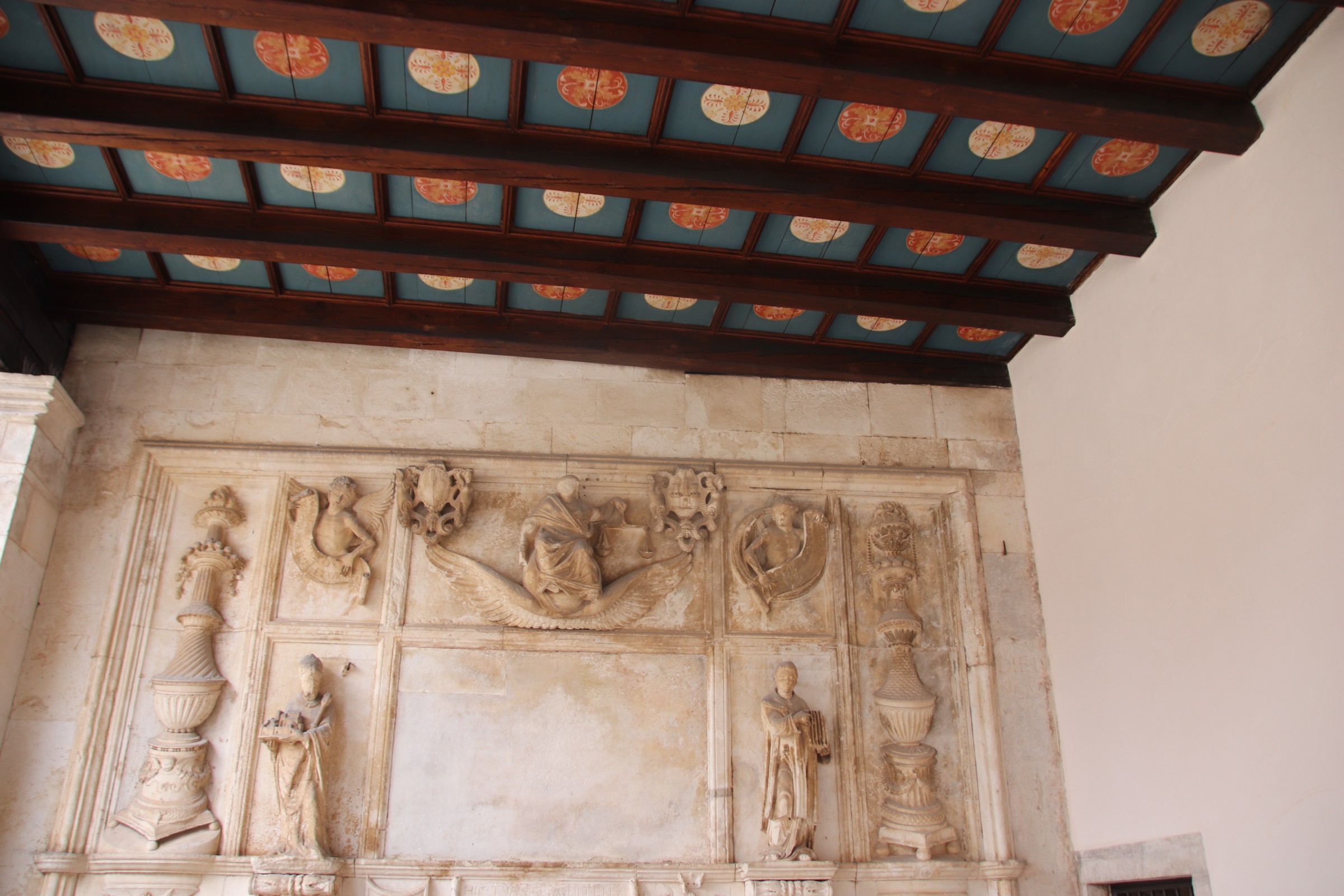
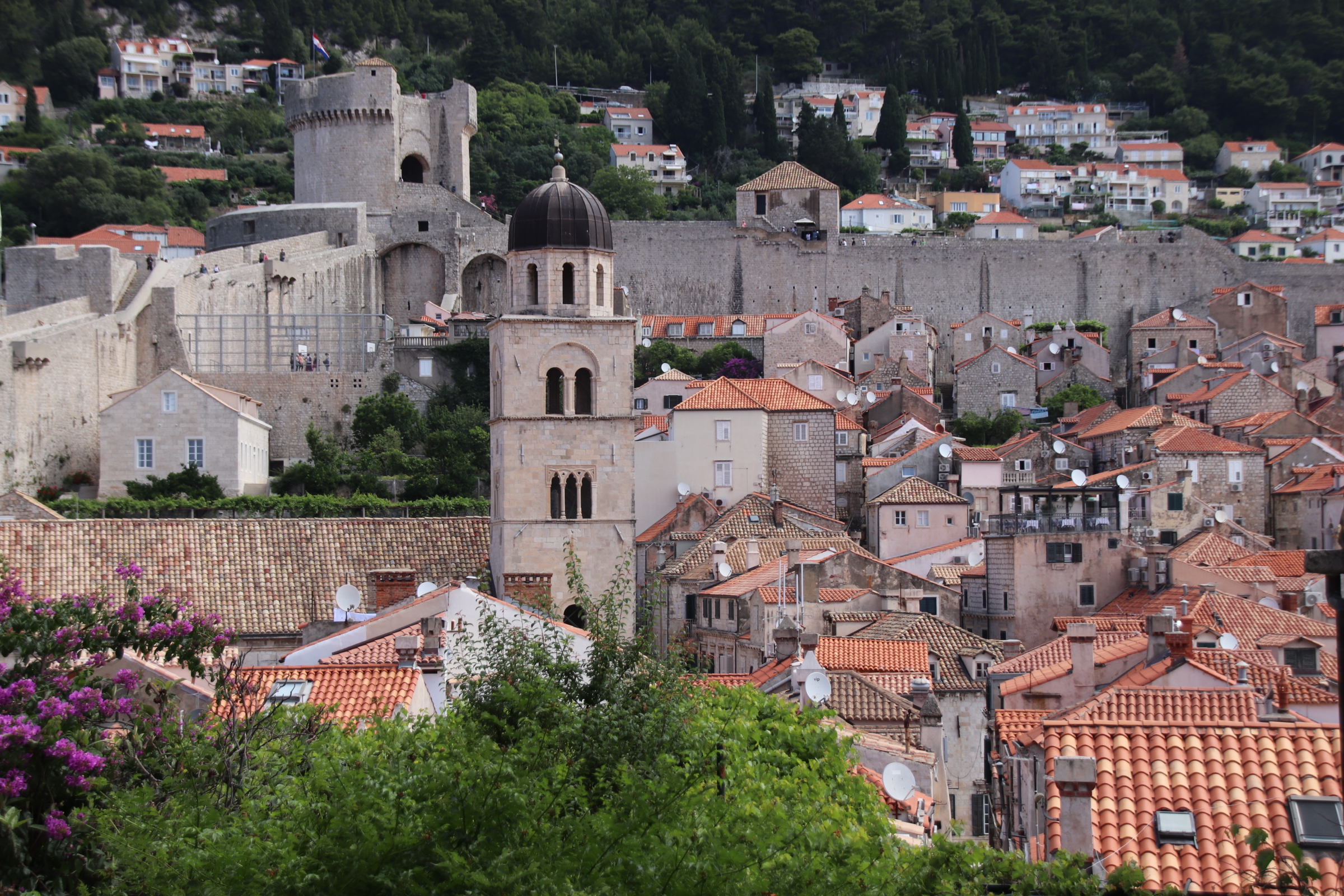
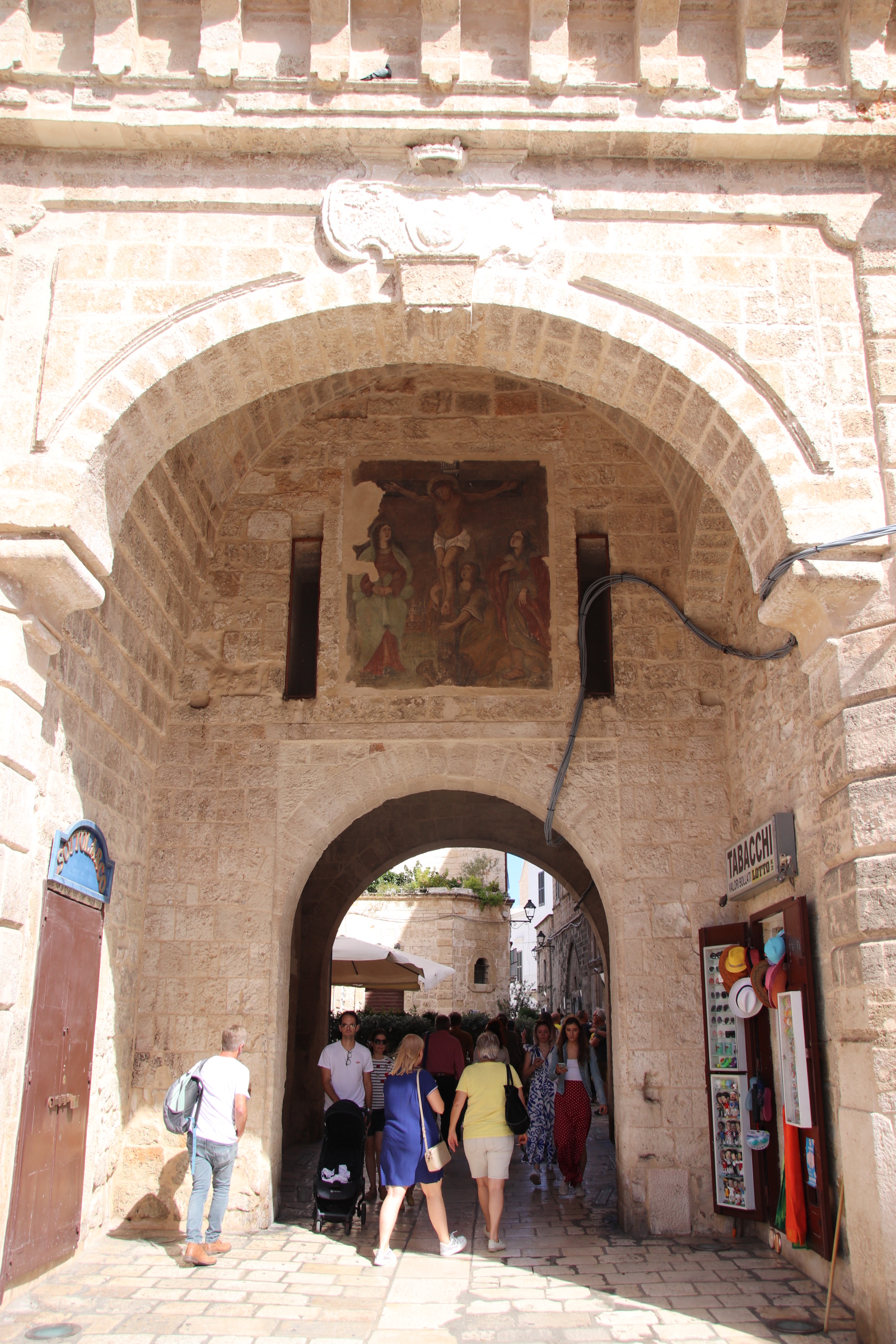
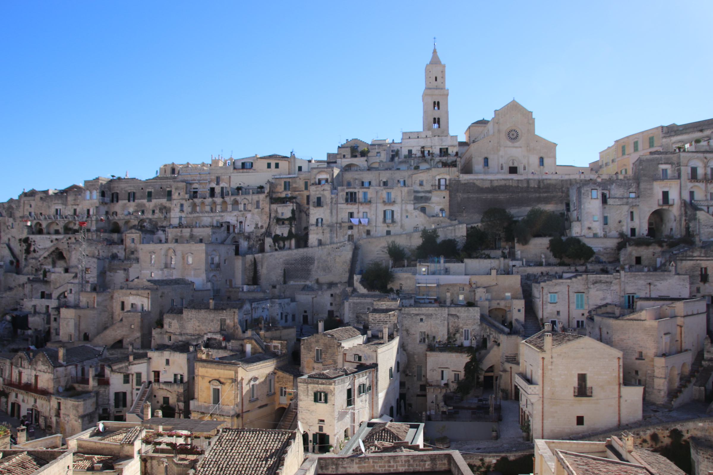
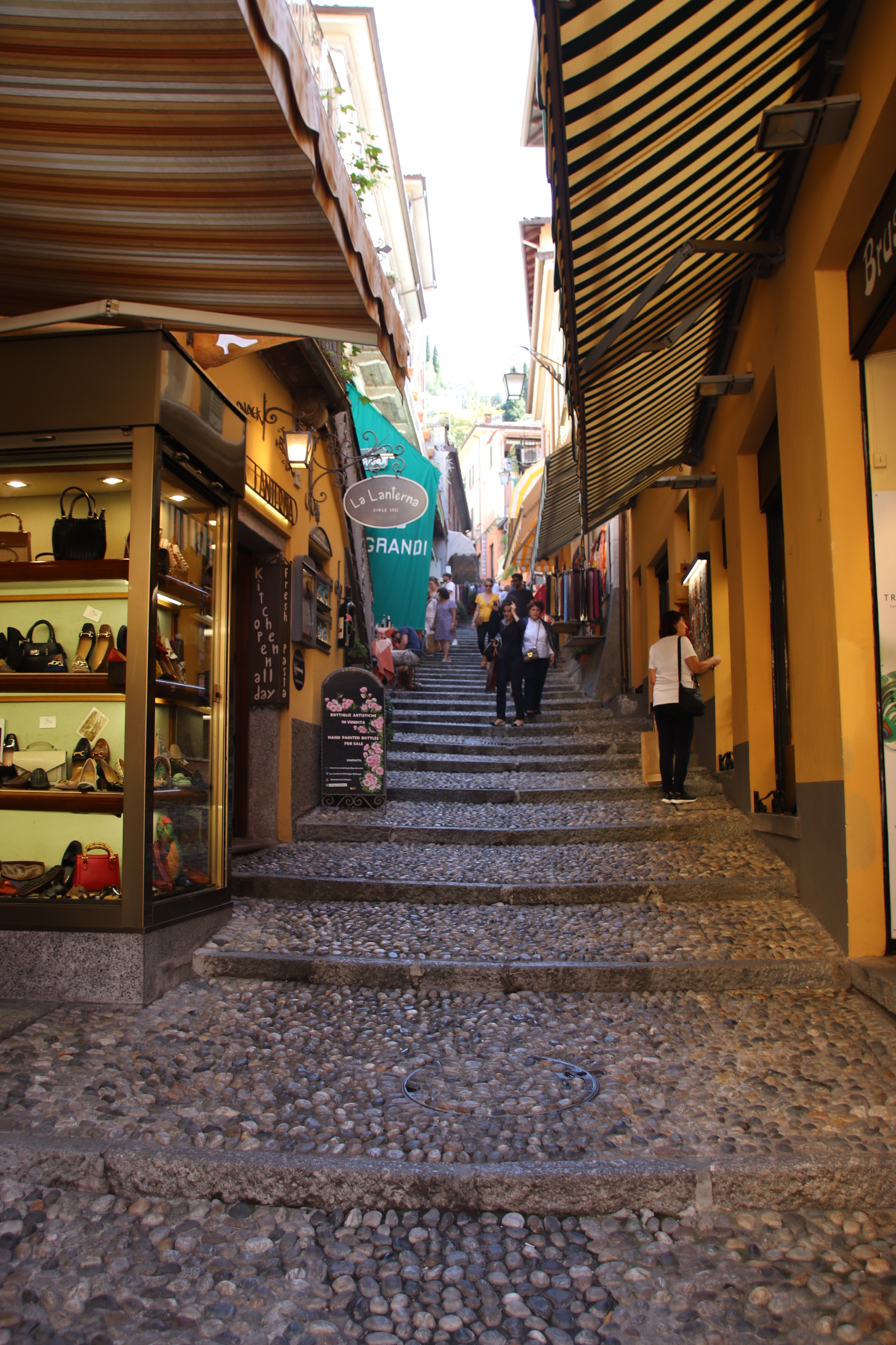
Taormona is a jewel in the Sicilian, née Italian, crown. Developed over centuries, it has a feel of wealth & opulence. The town on three levels, dates back to ancient Greece. It can be summed up in three words – steps, ancient steps, and more ancient steps! The one sop to modern living is a cable car that transports visitors to and from the beach resort to the old town at the top of the first cliff.

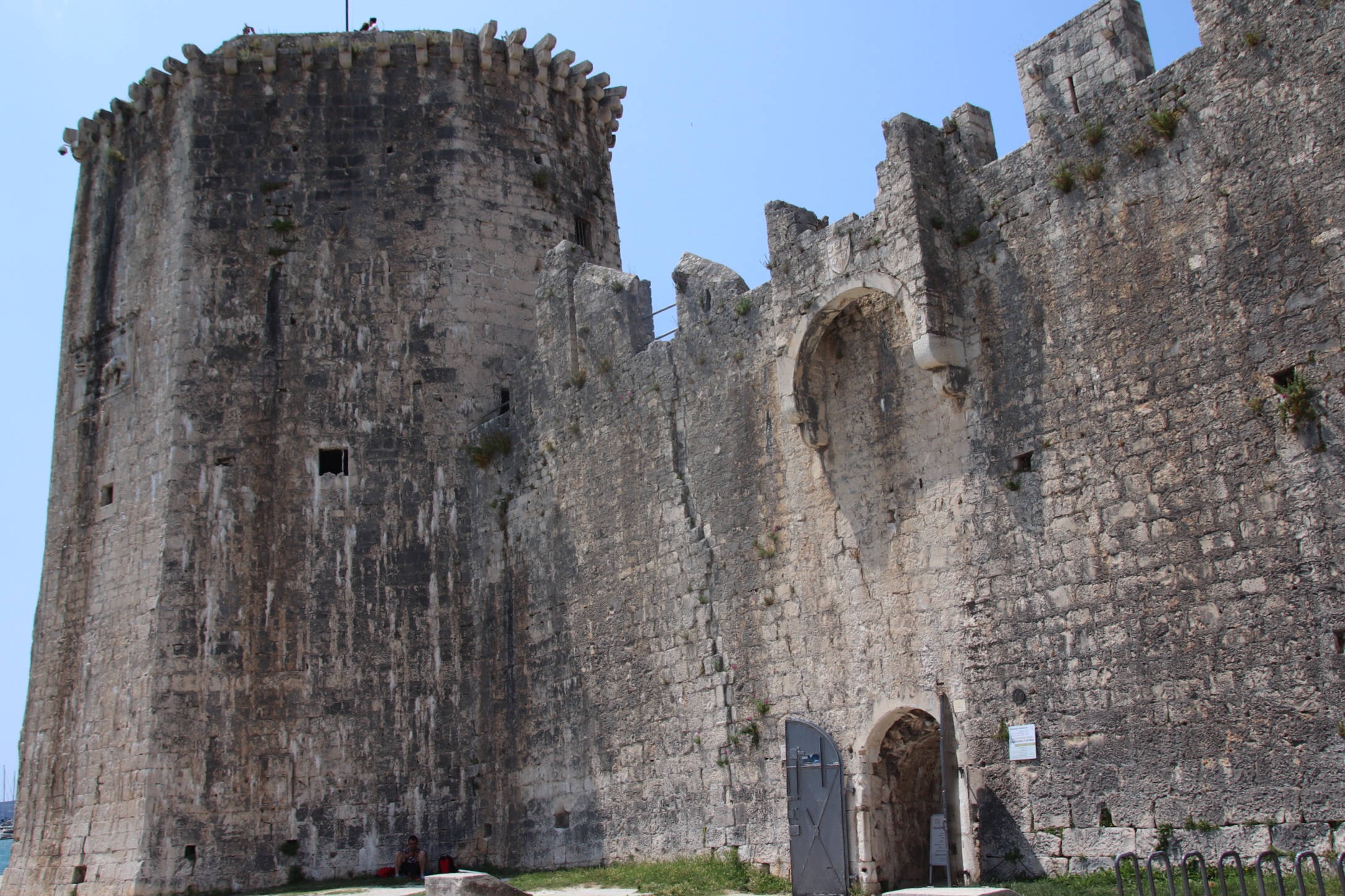
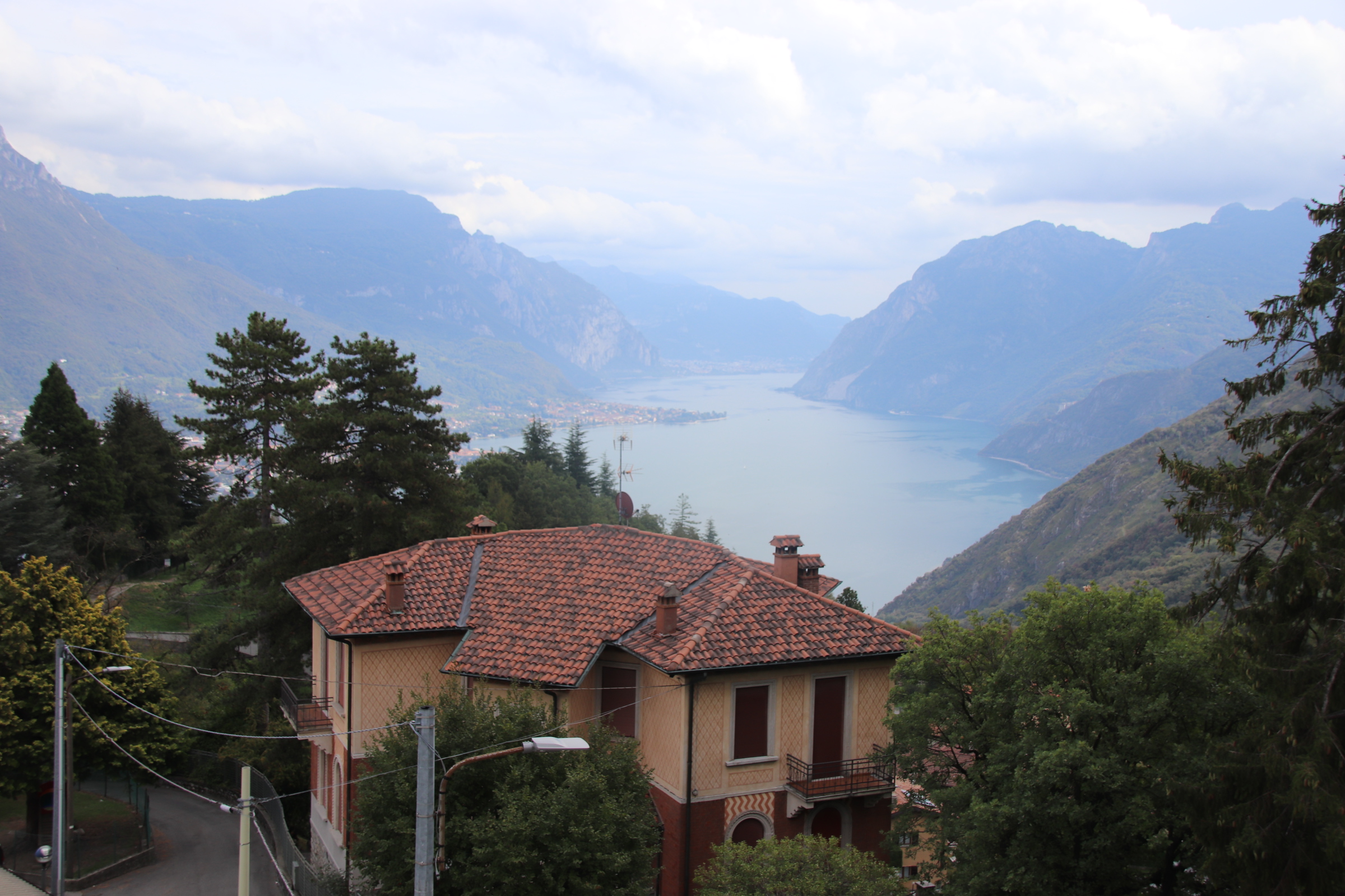
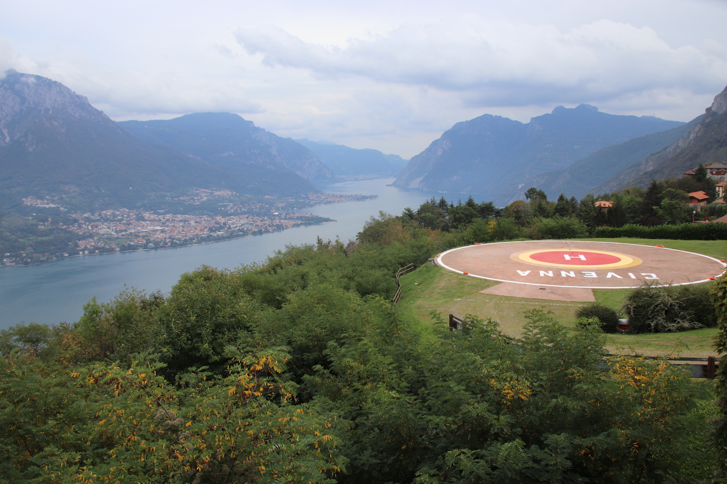
Tucked up high on a large pillar outcrop is the protective castle and the village of Castelmola.

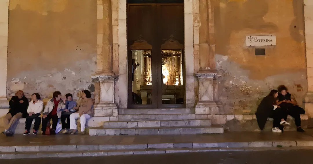
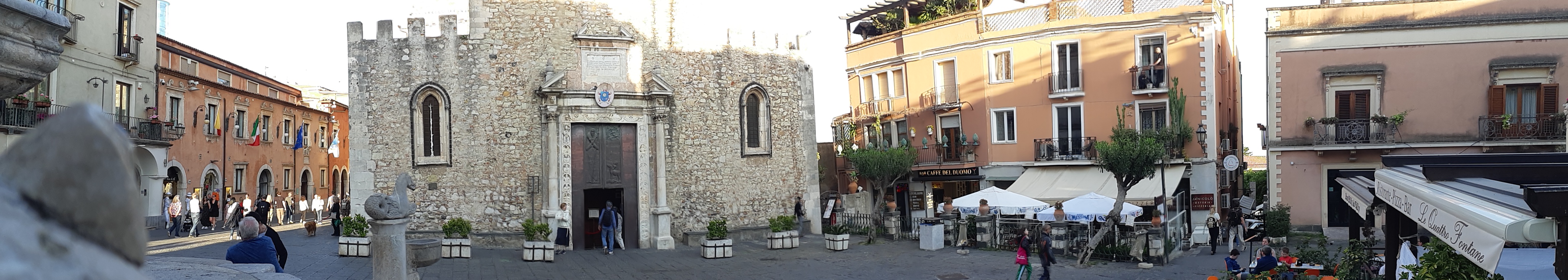
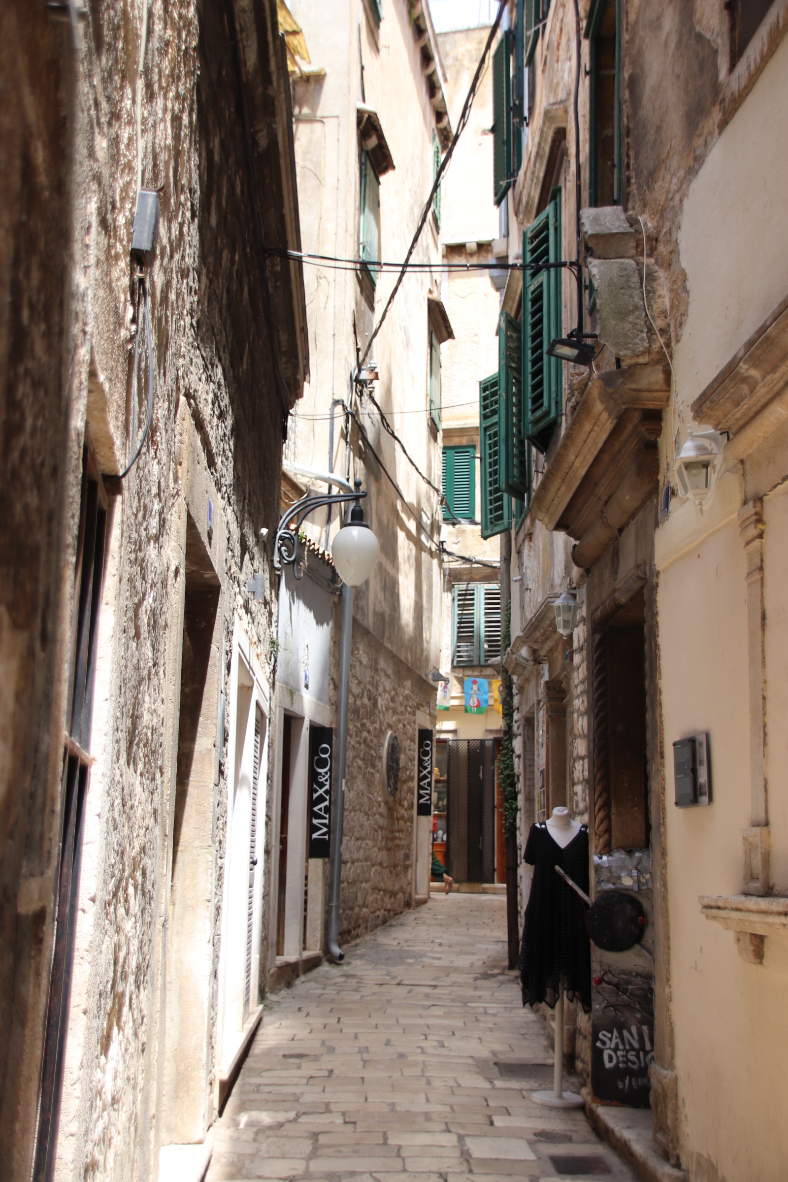
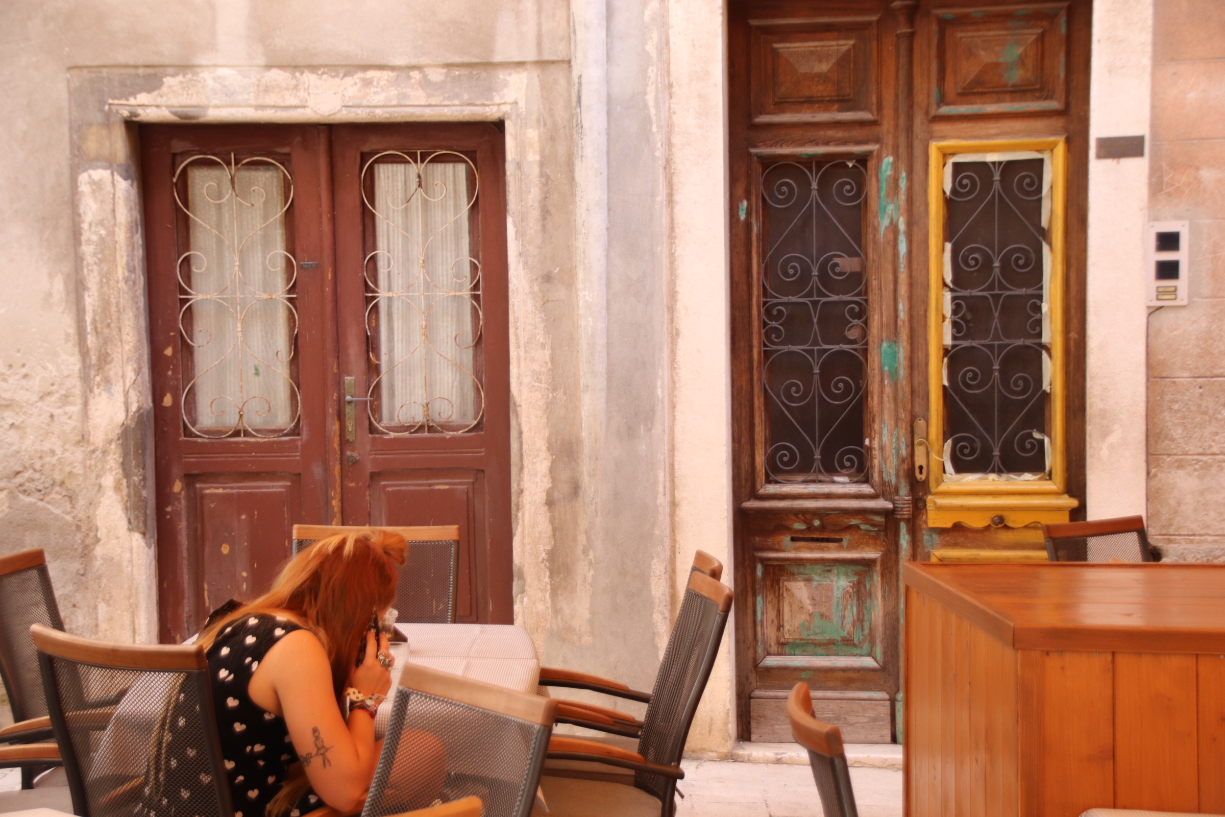
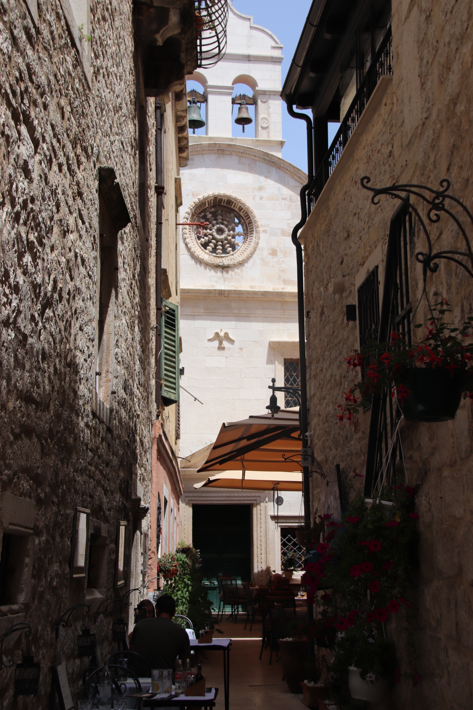
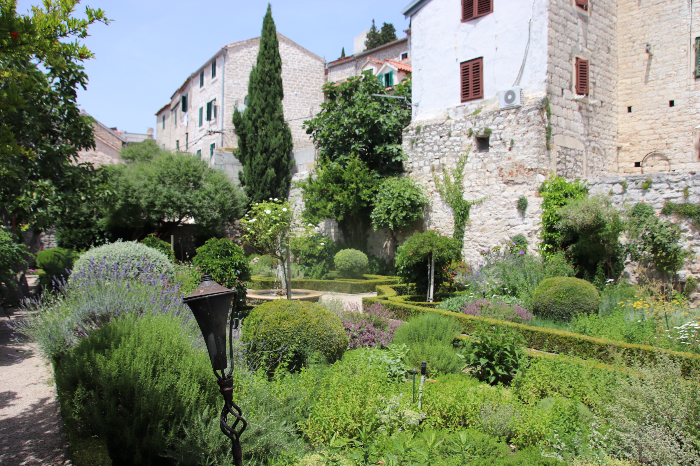
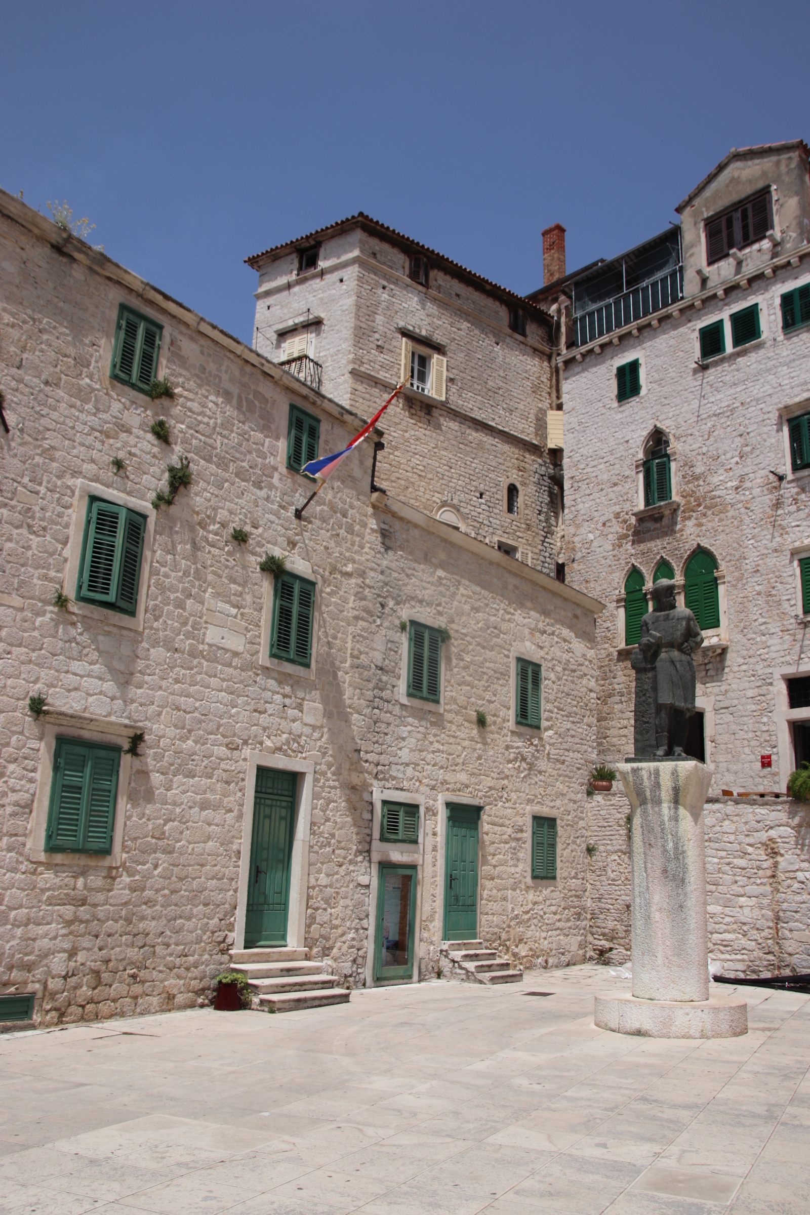
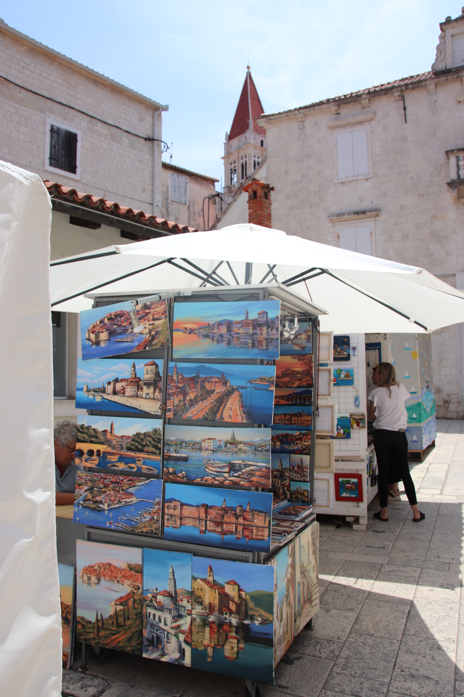
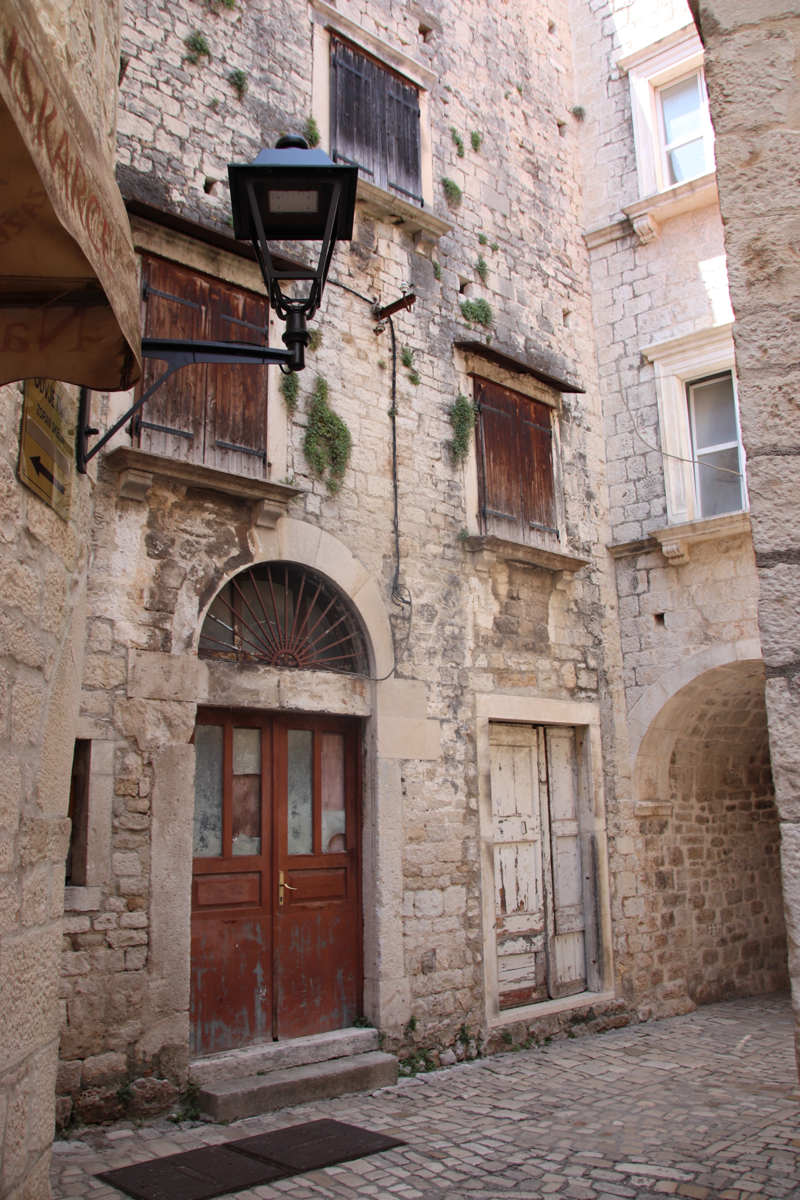
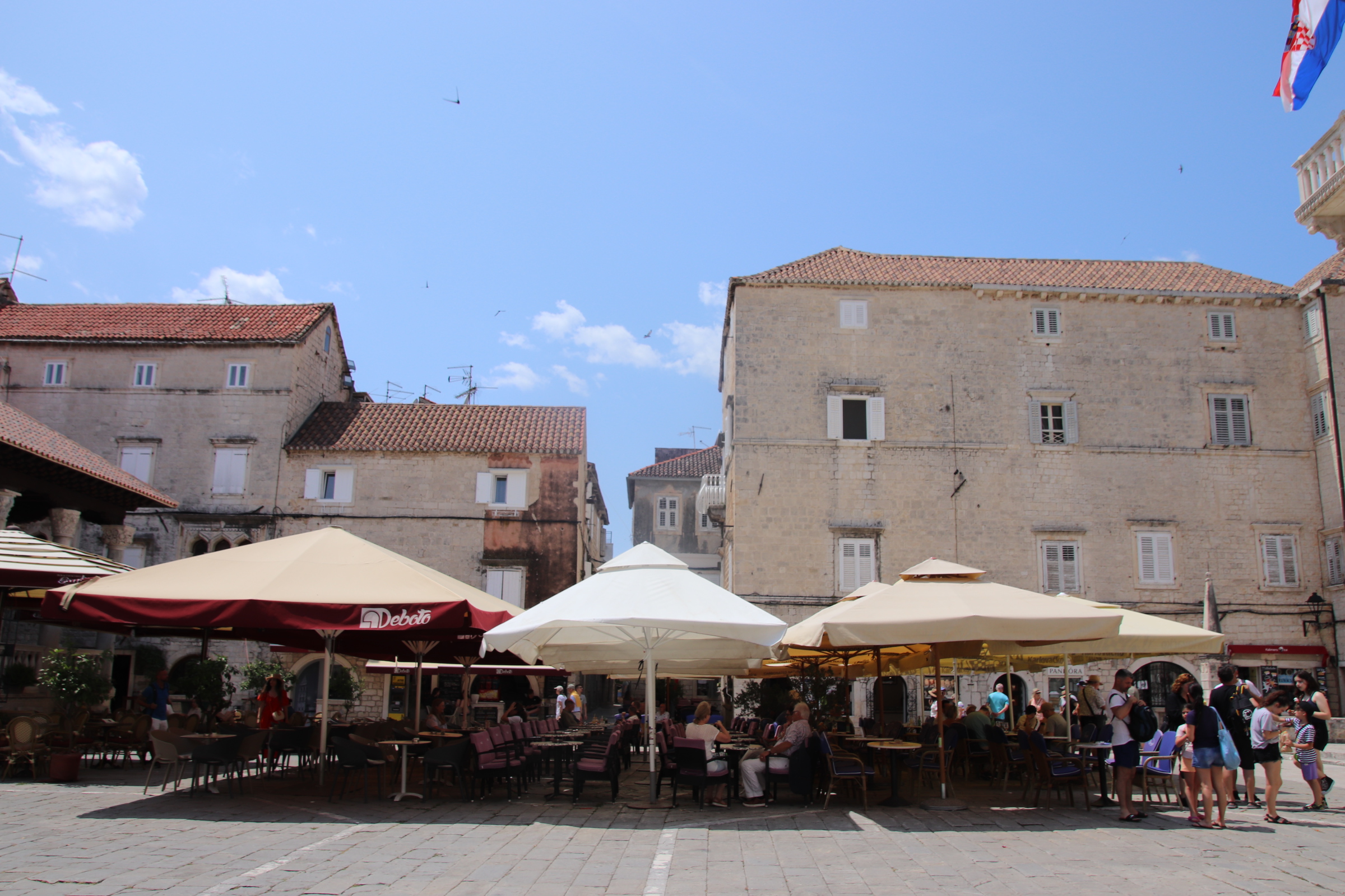
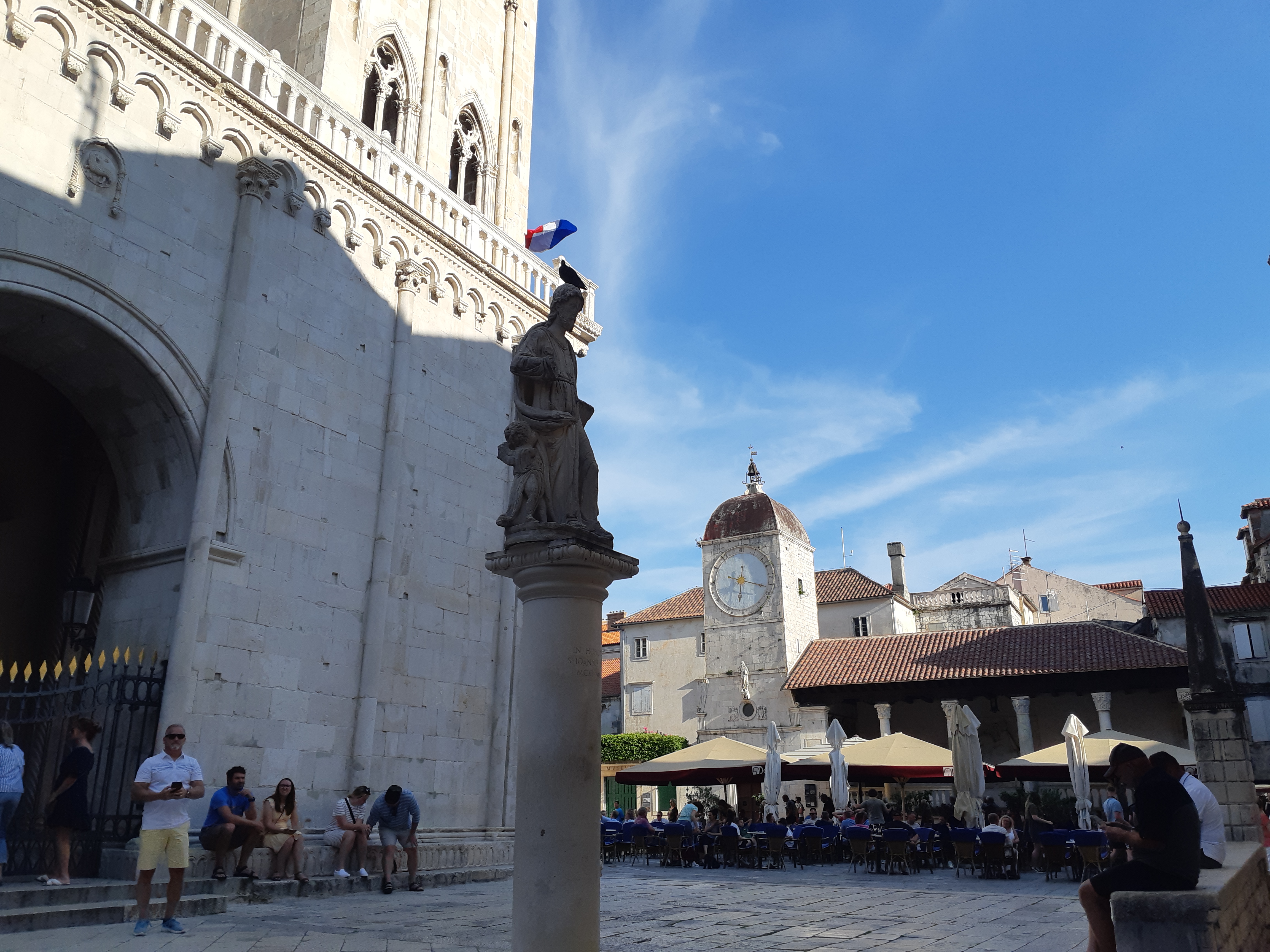
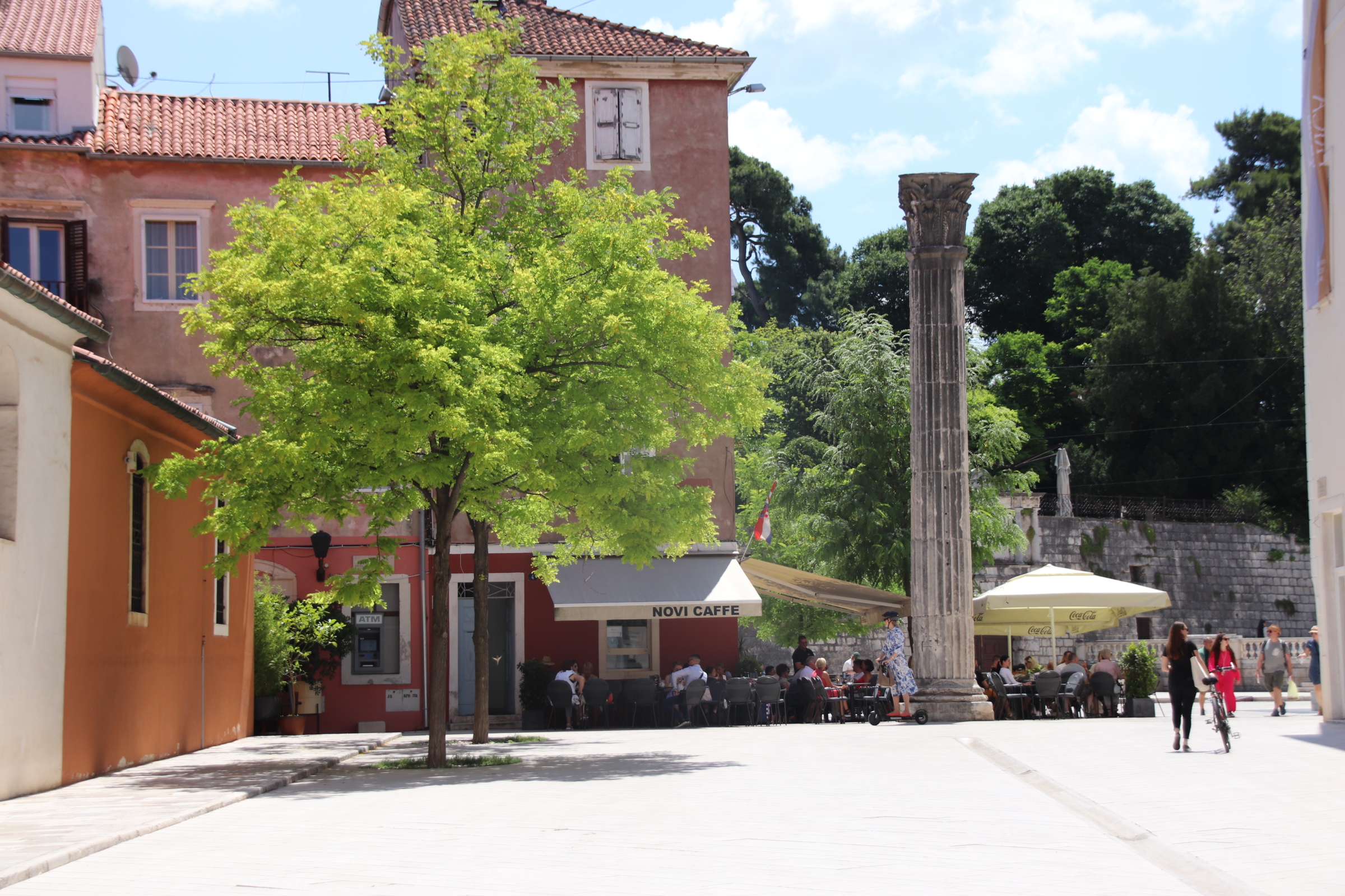
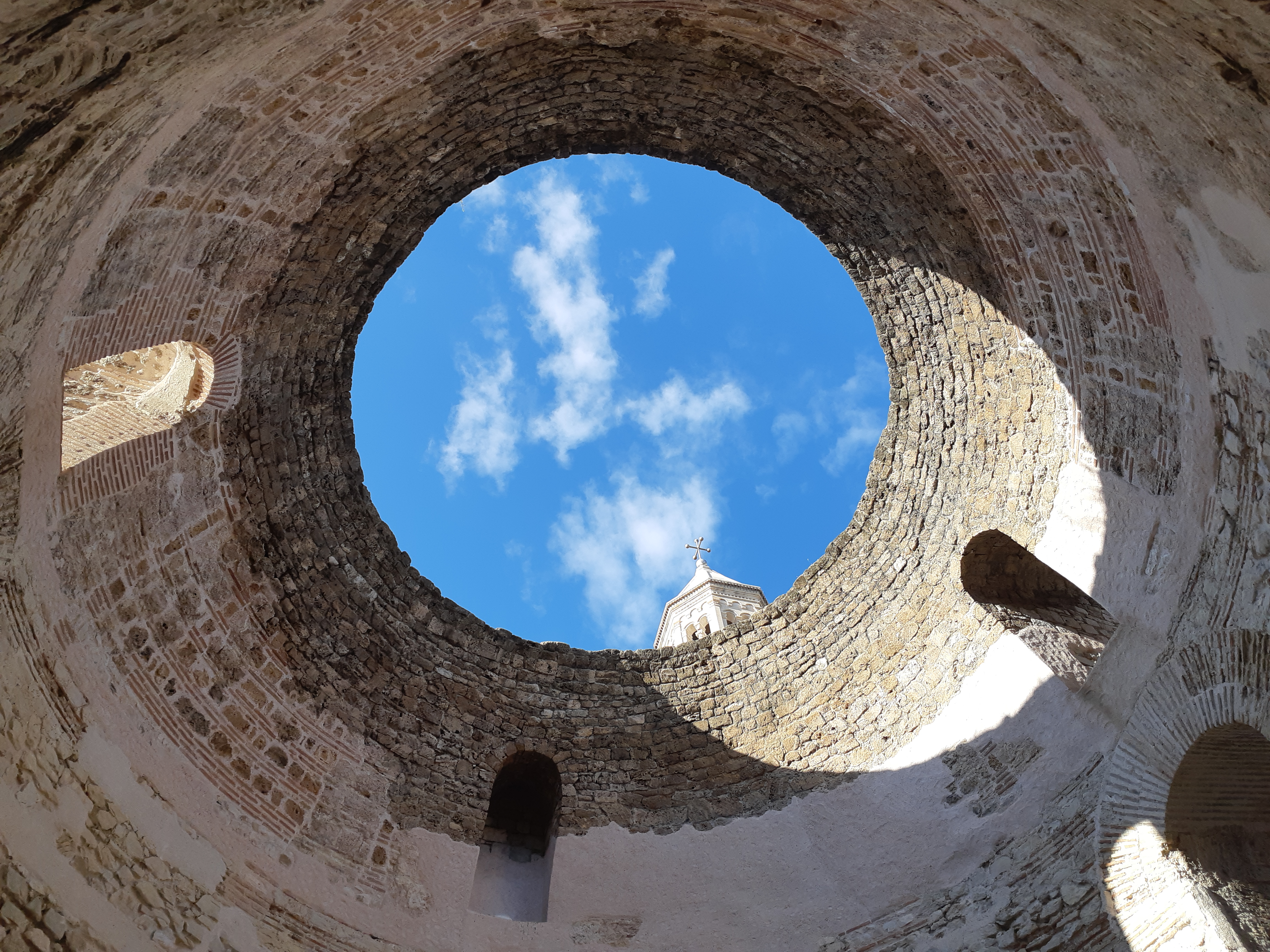
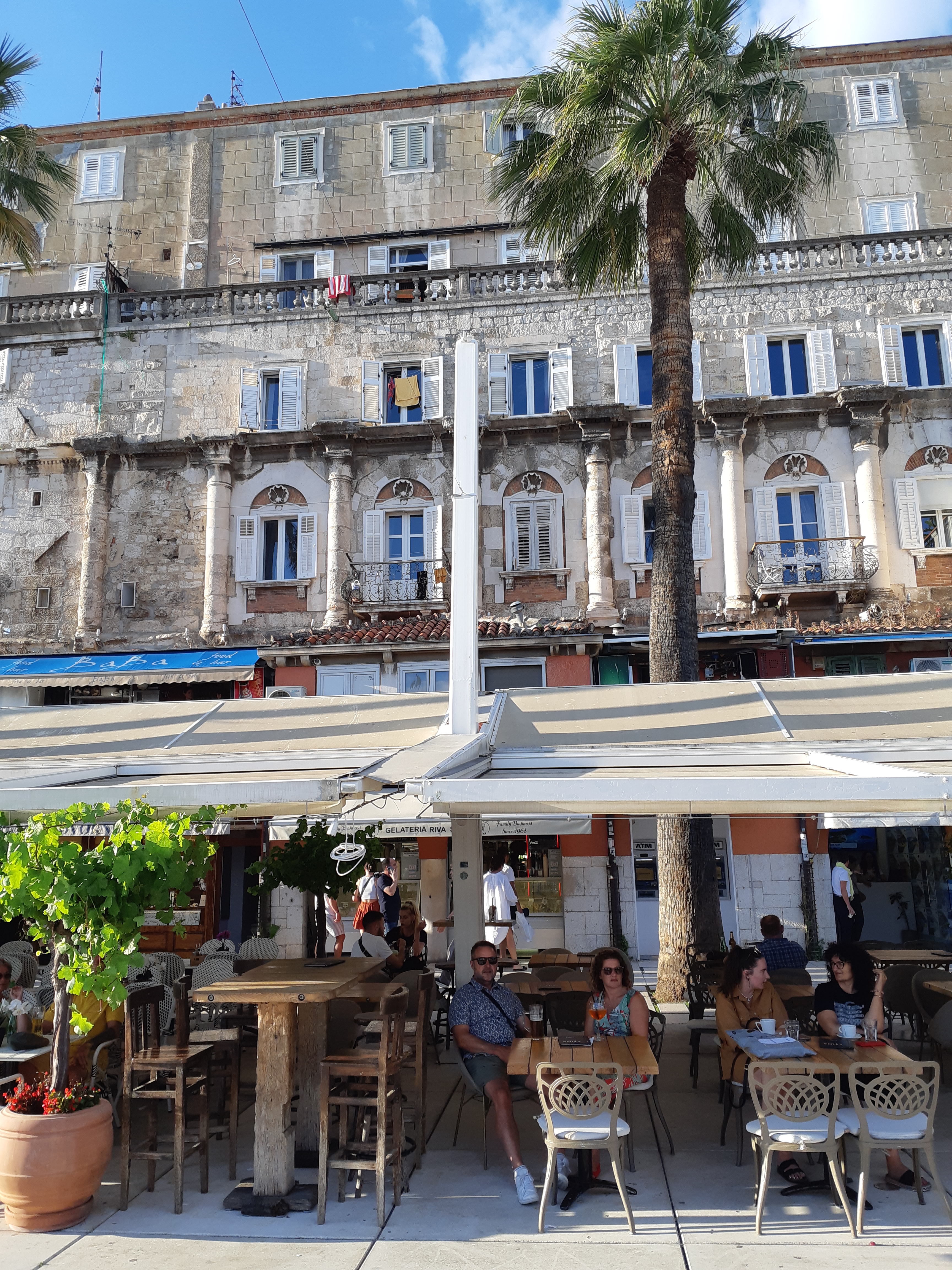
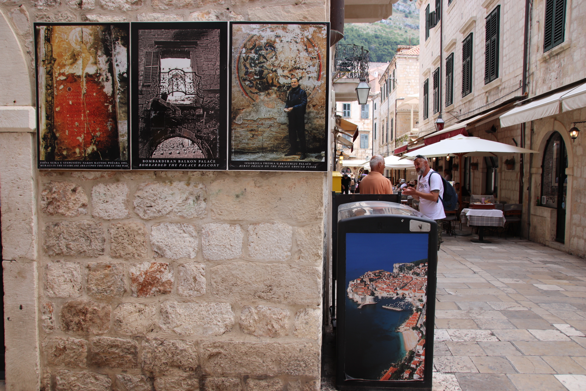
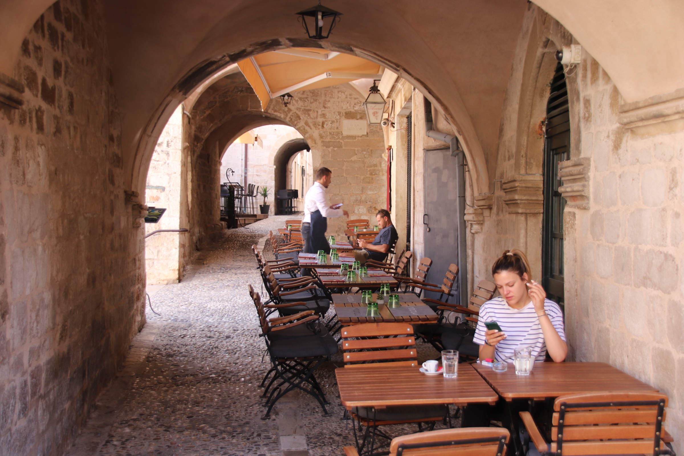
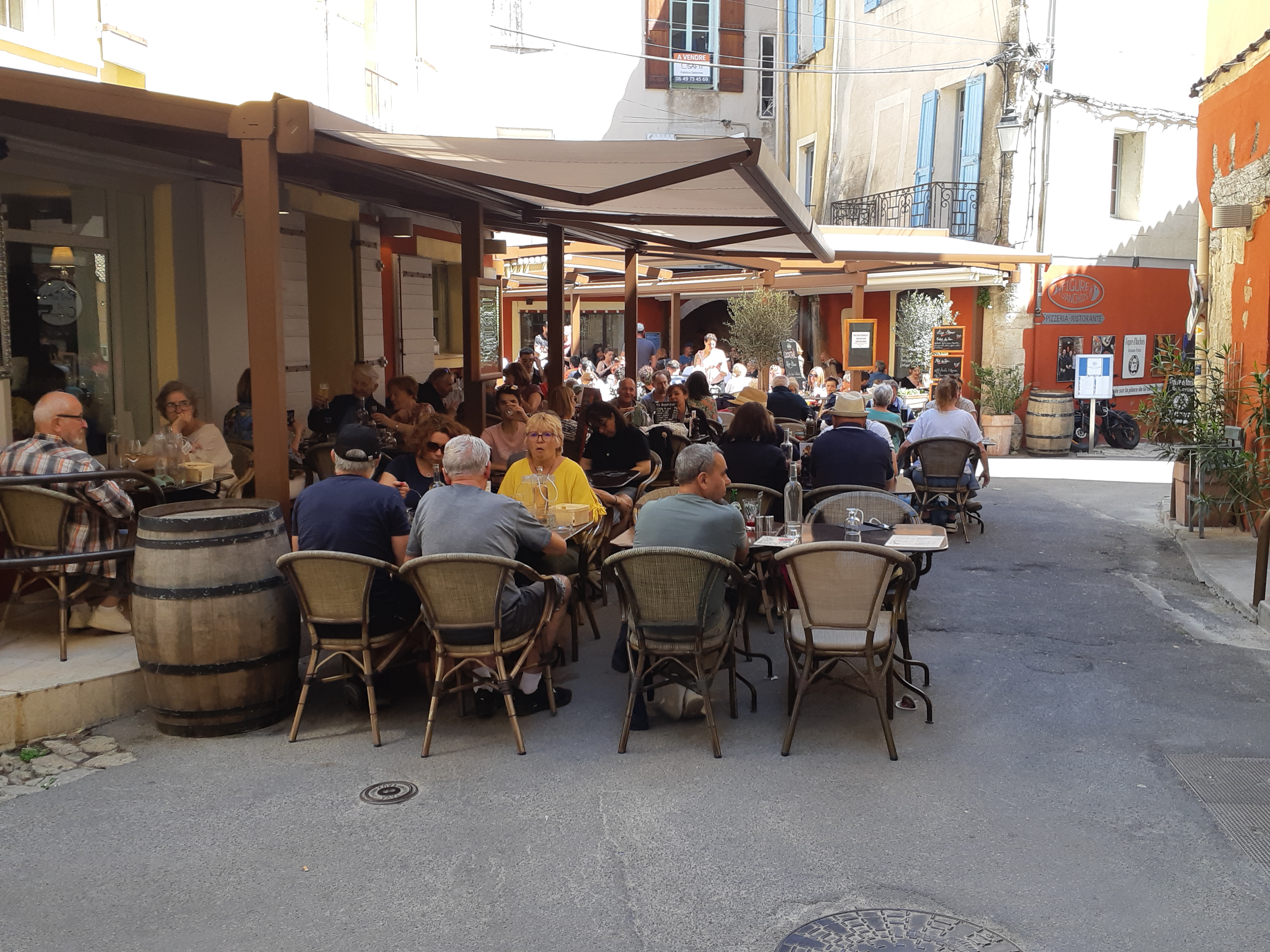
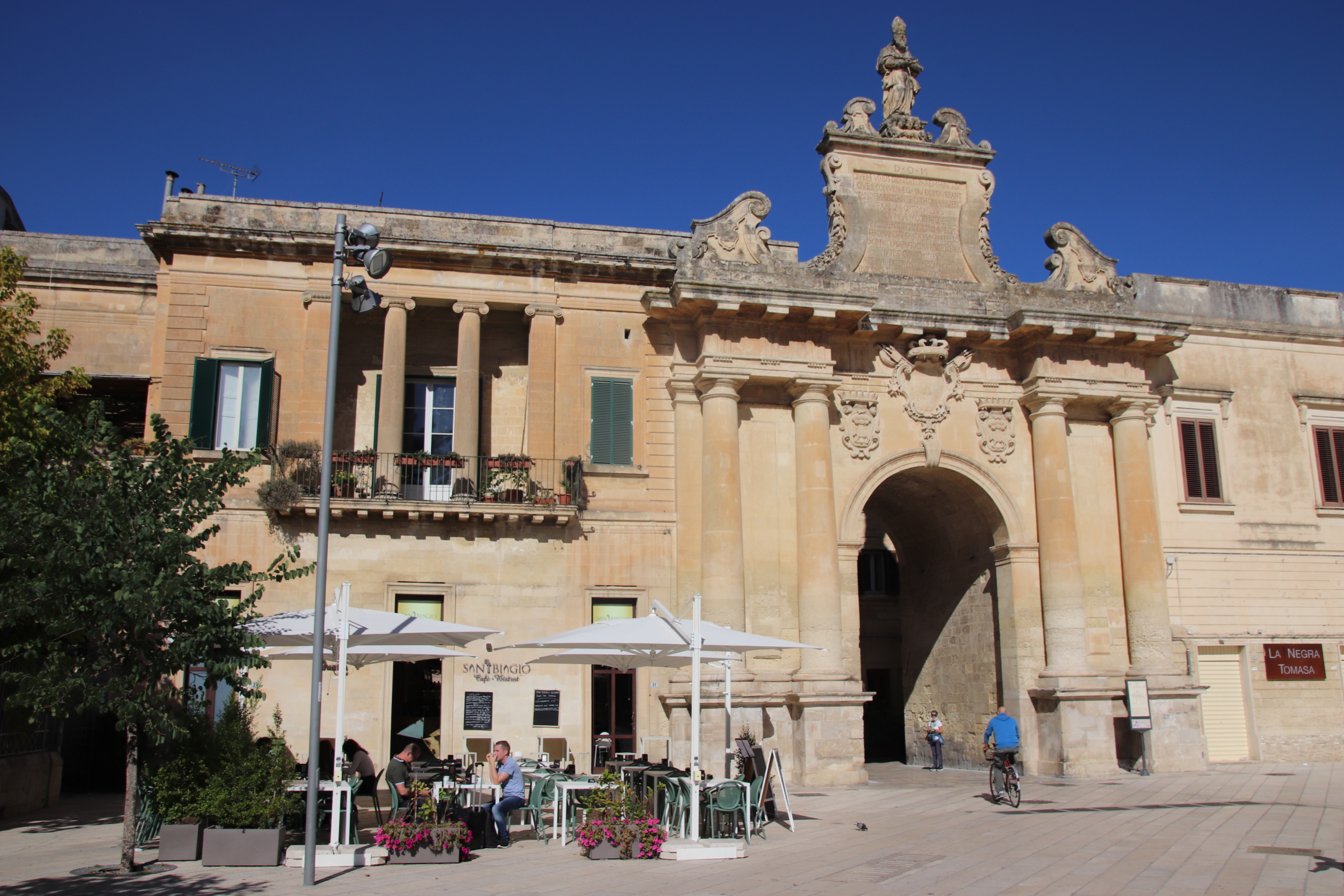
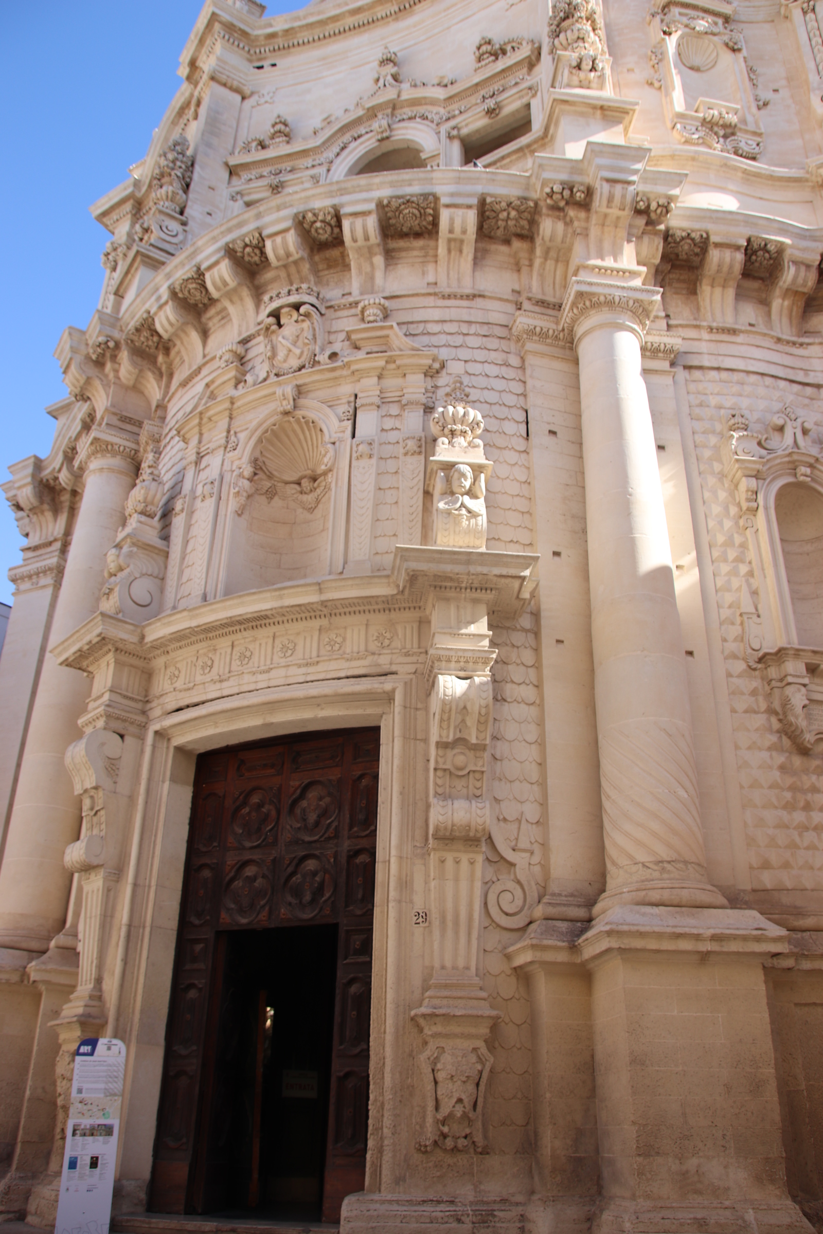
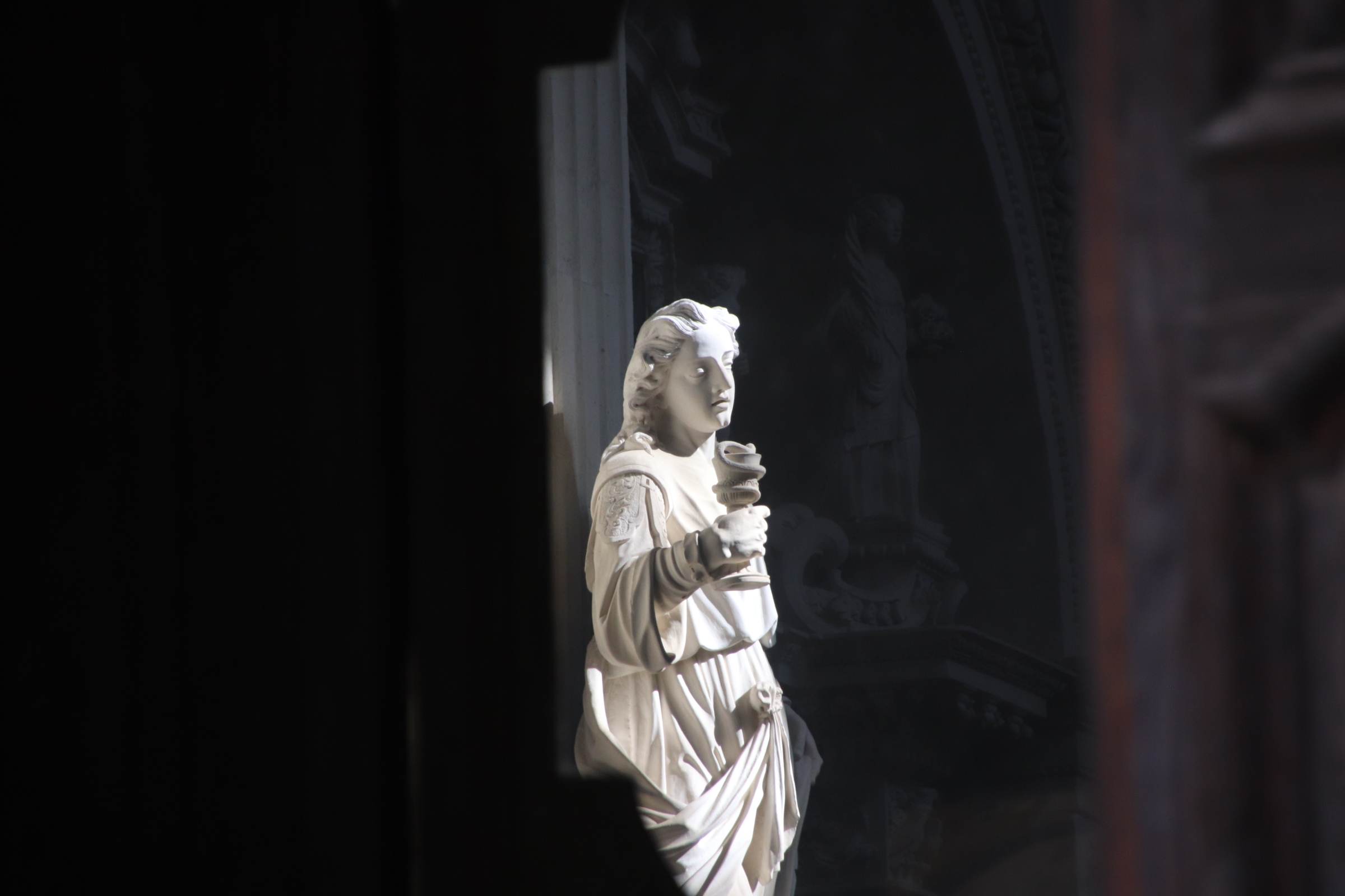
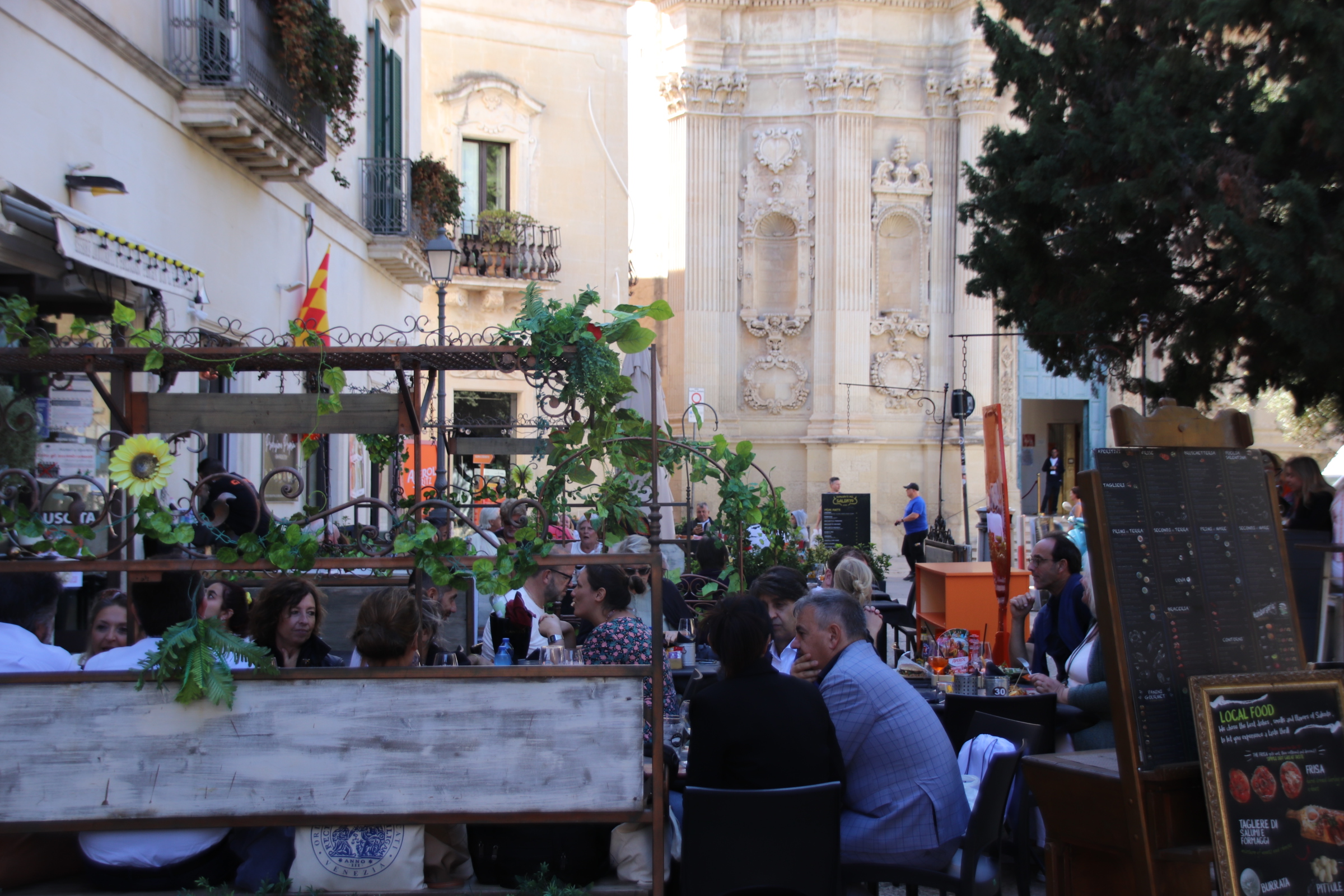
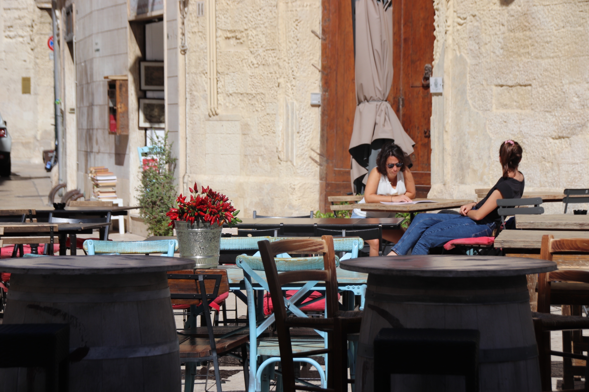
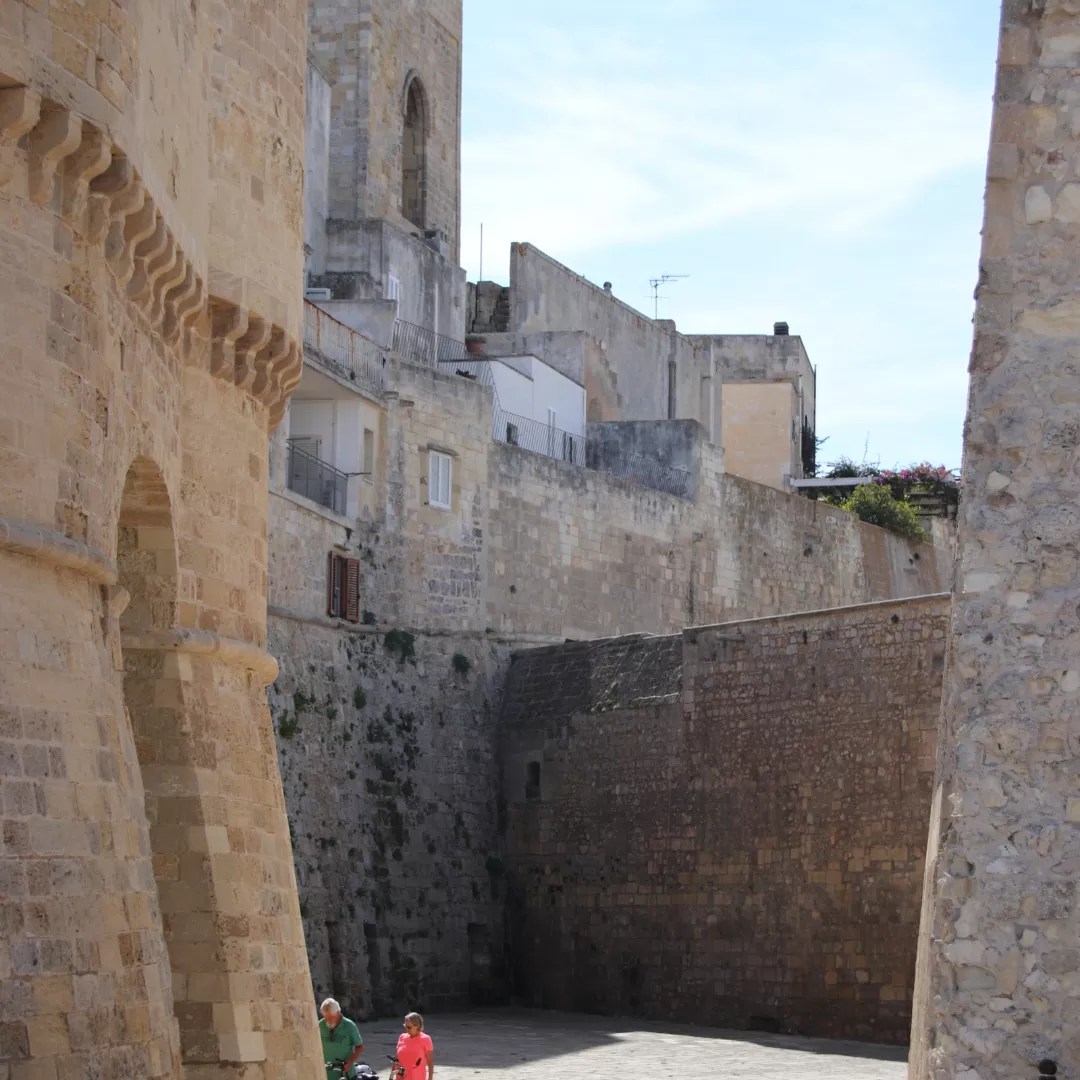
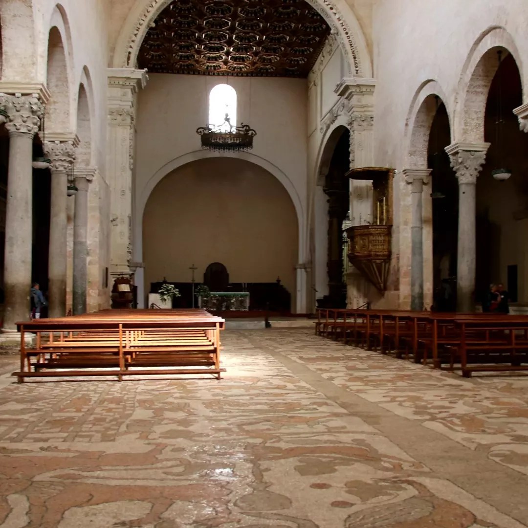
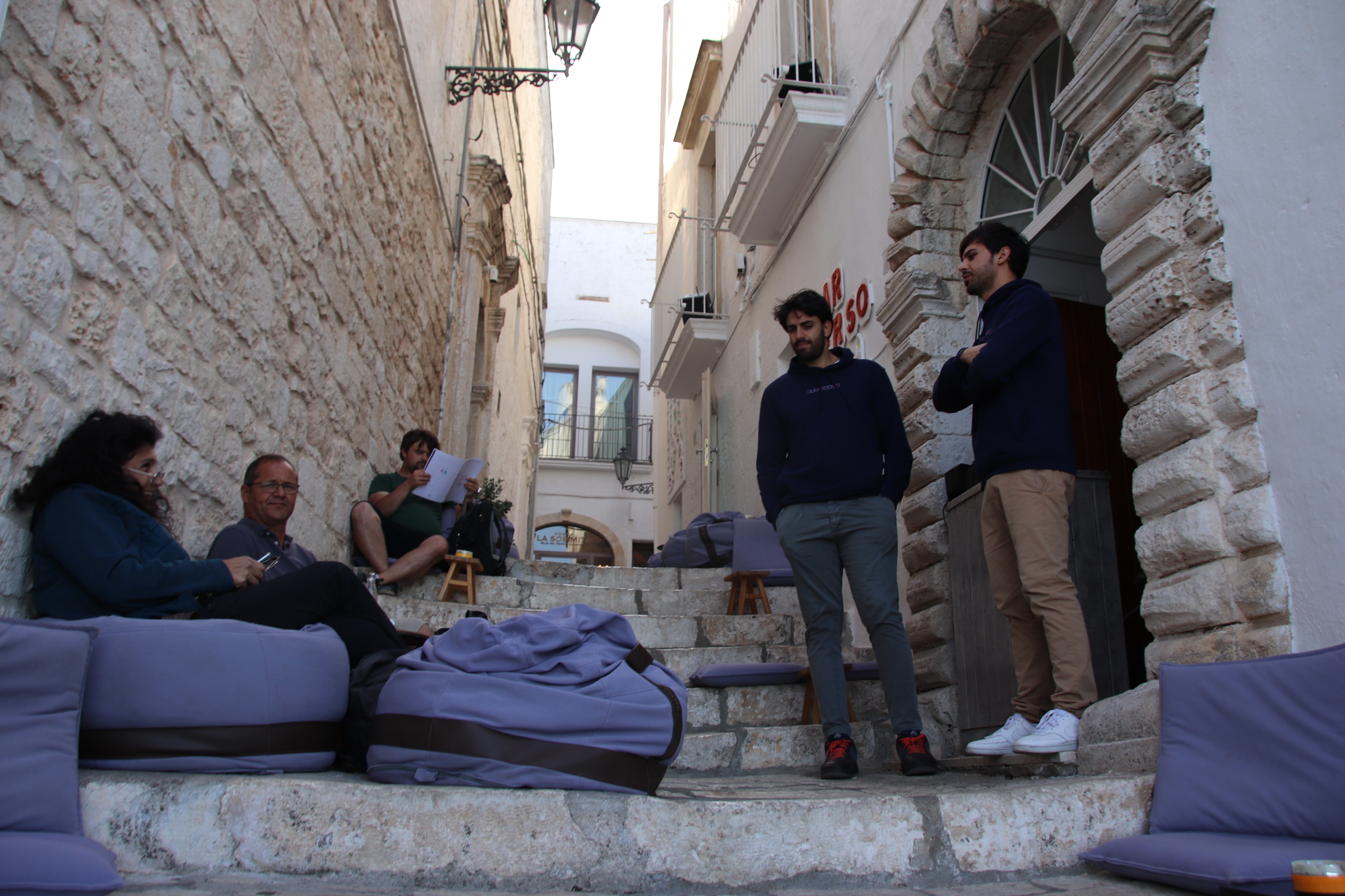
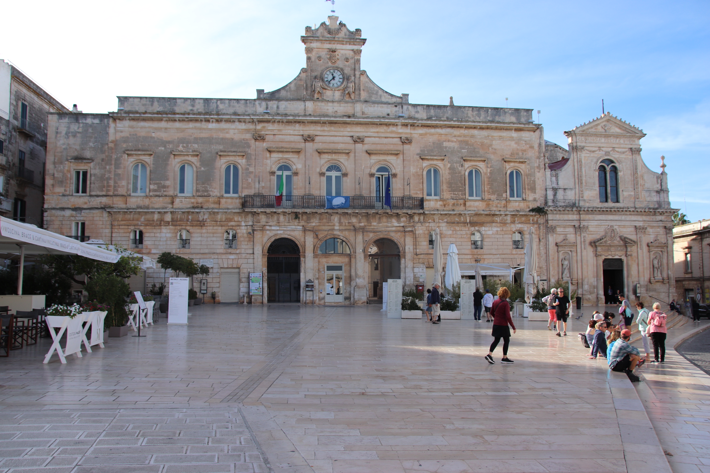
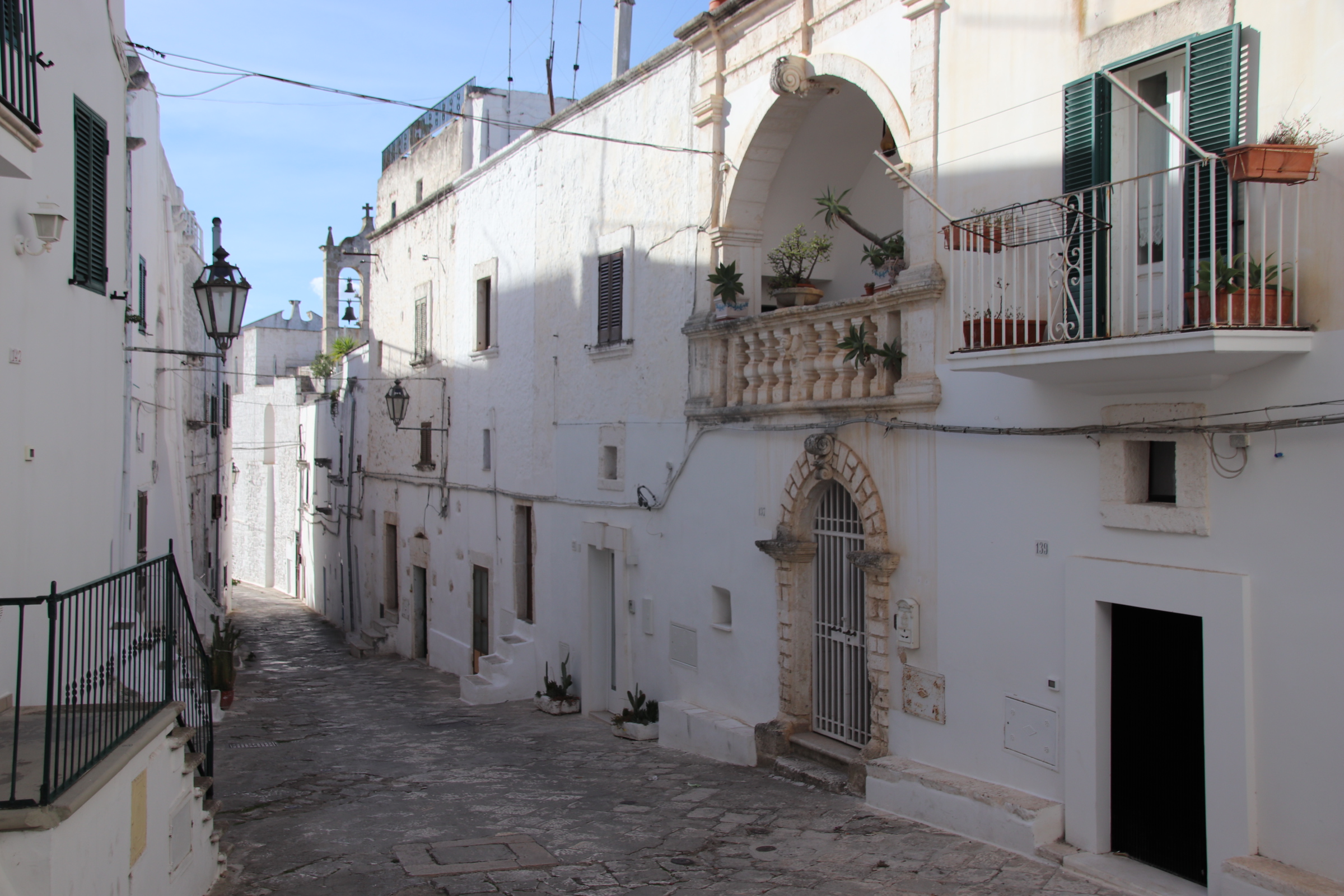
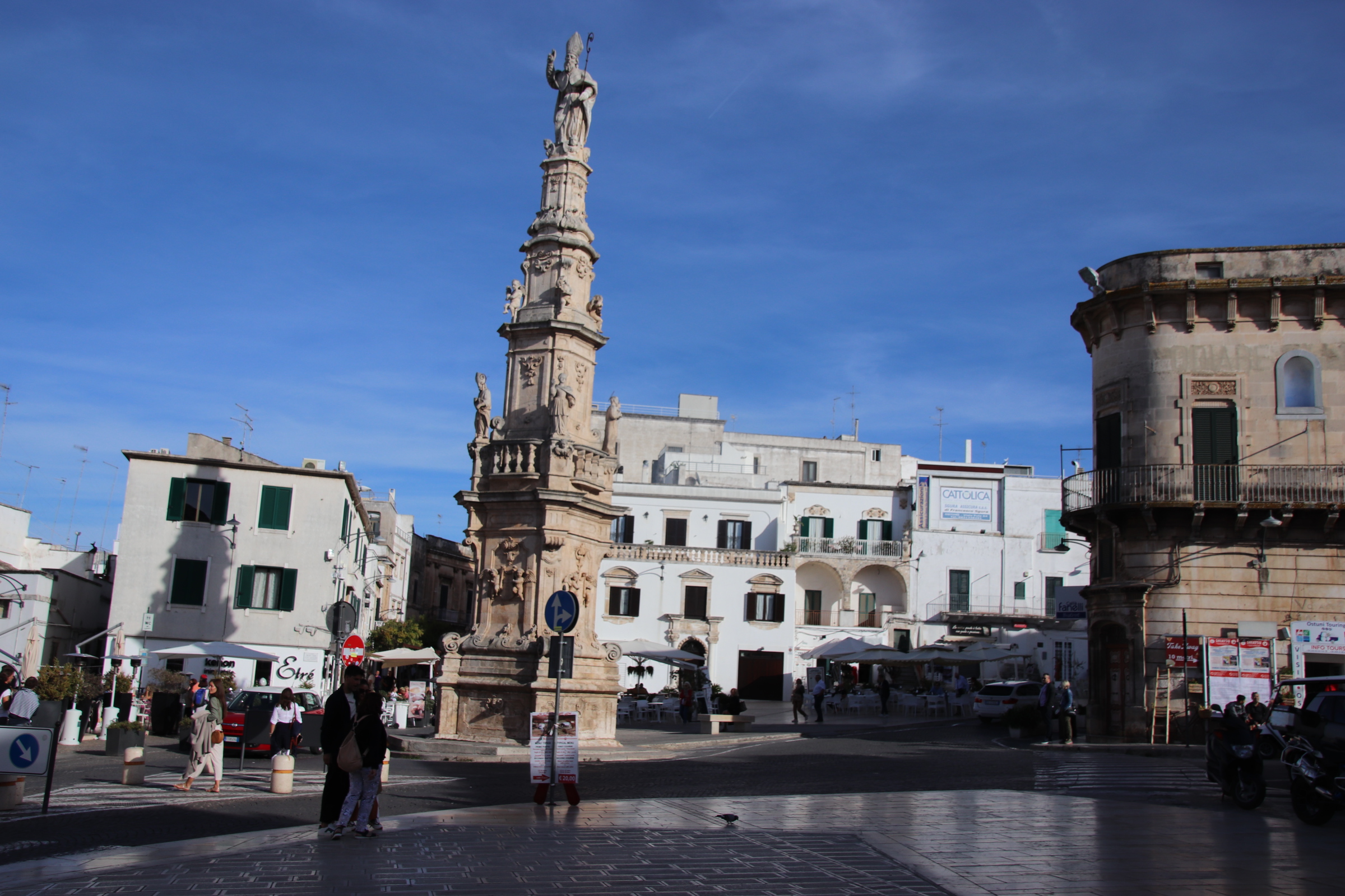
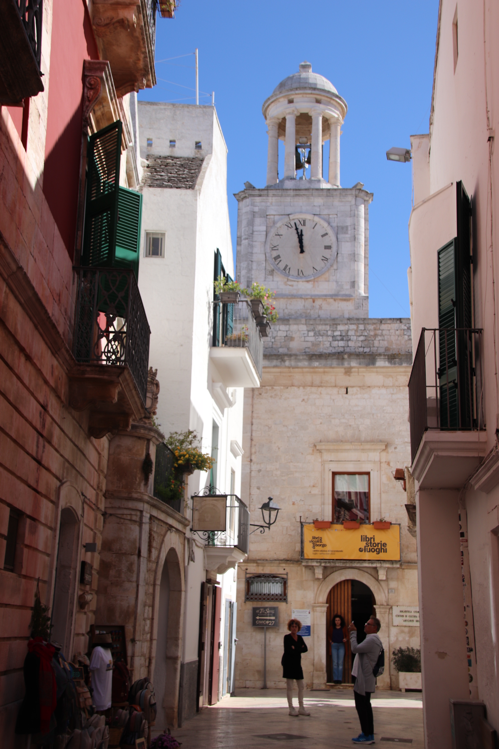
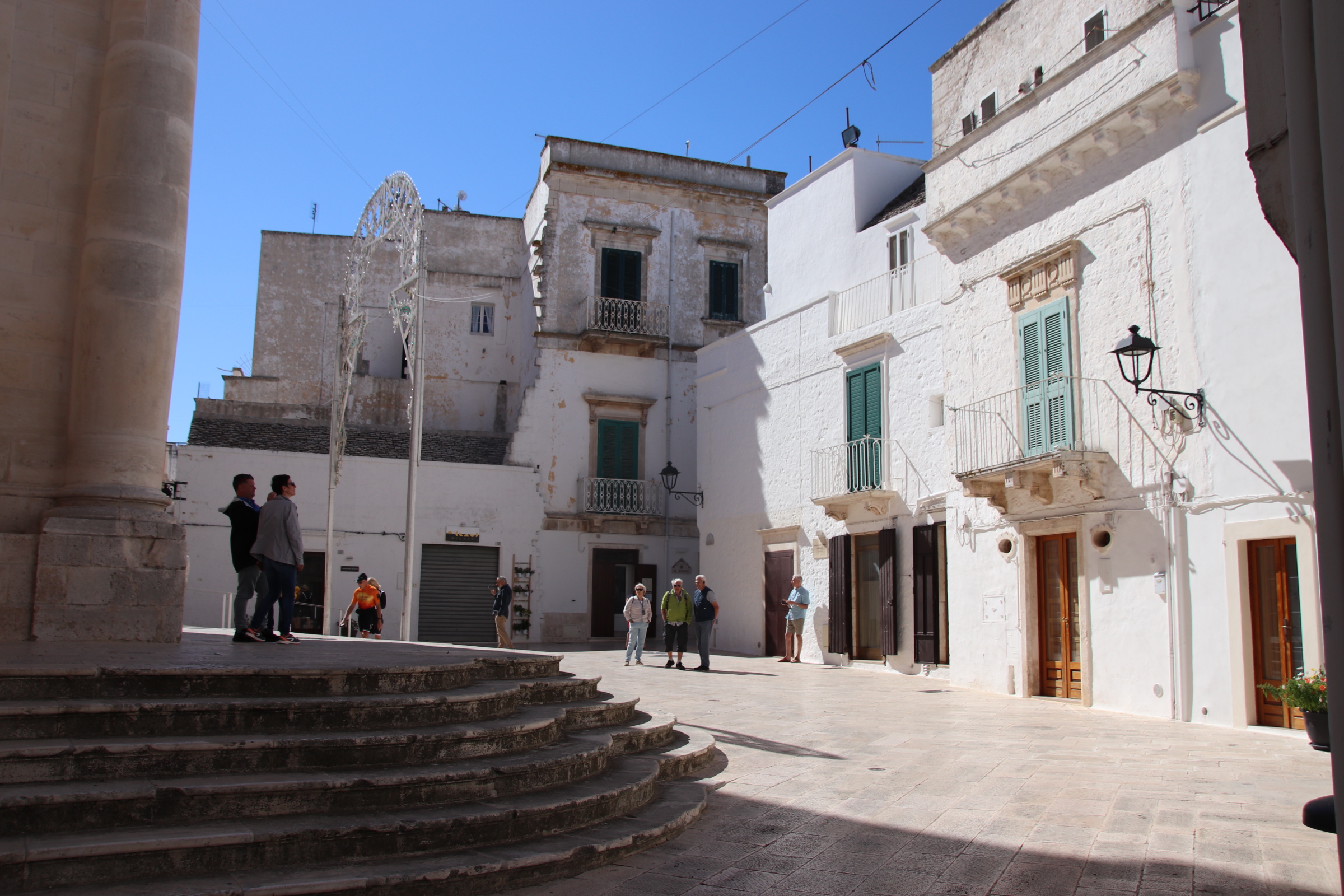
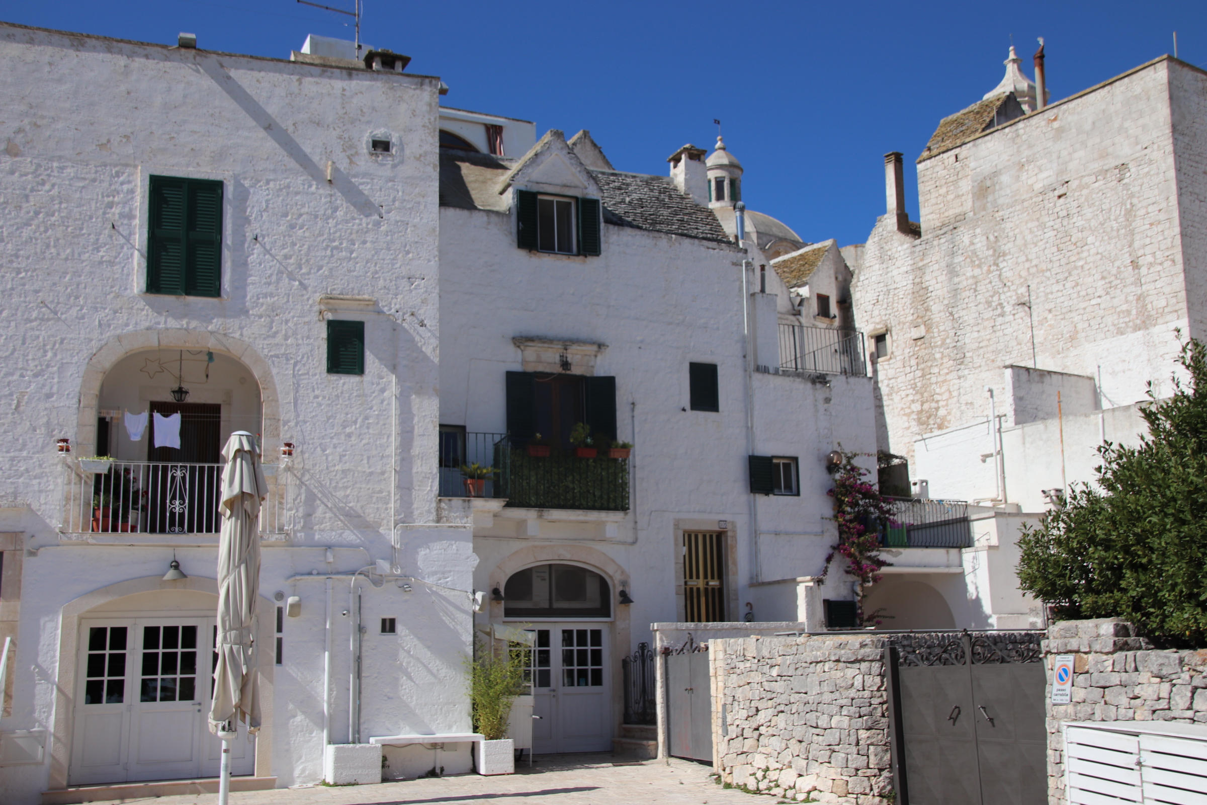
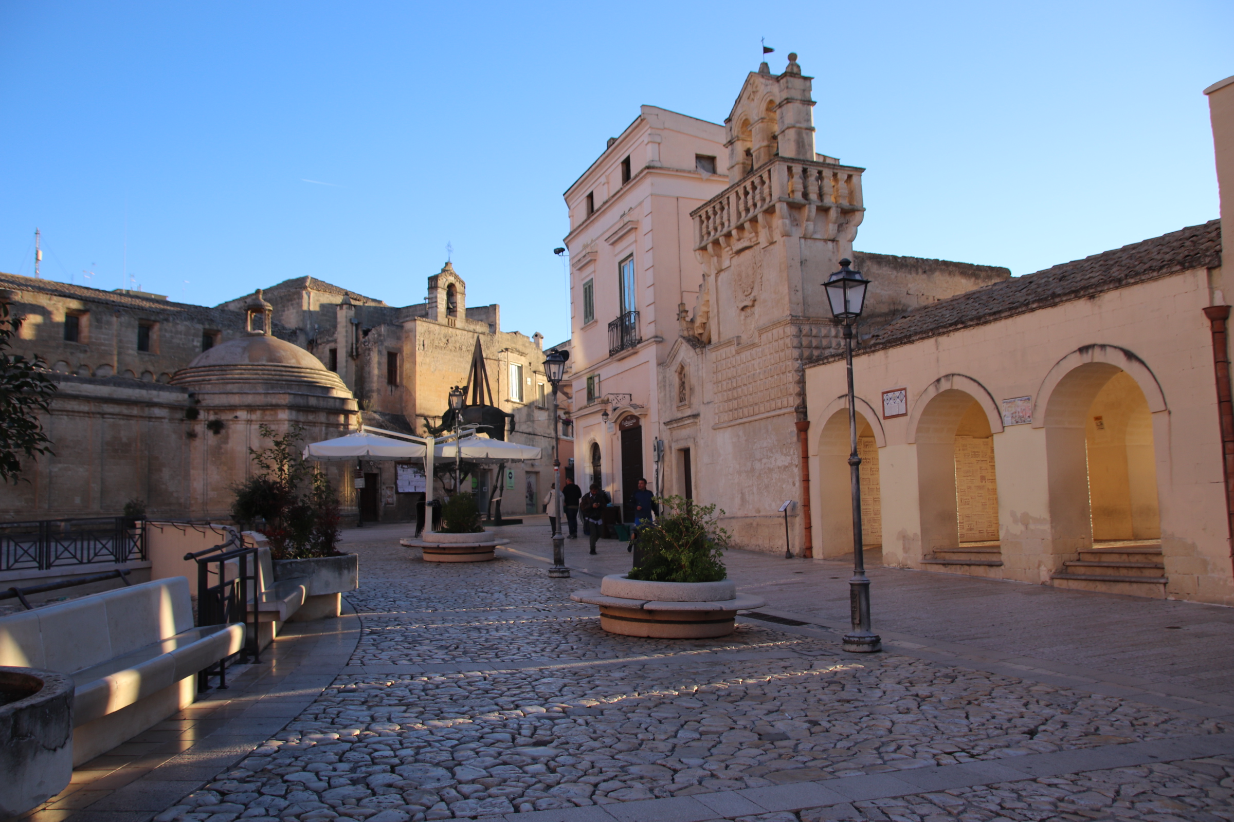
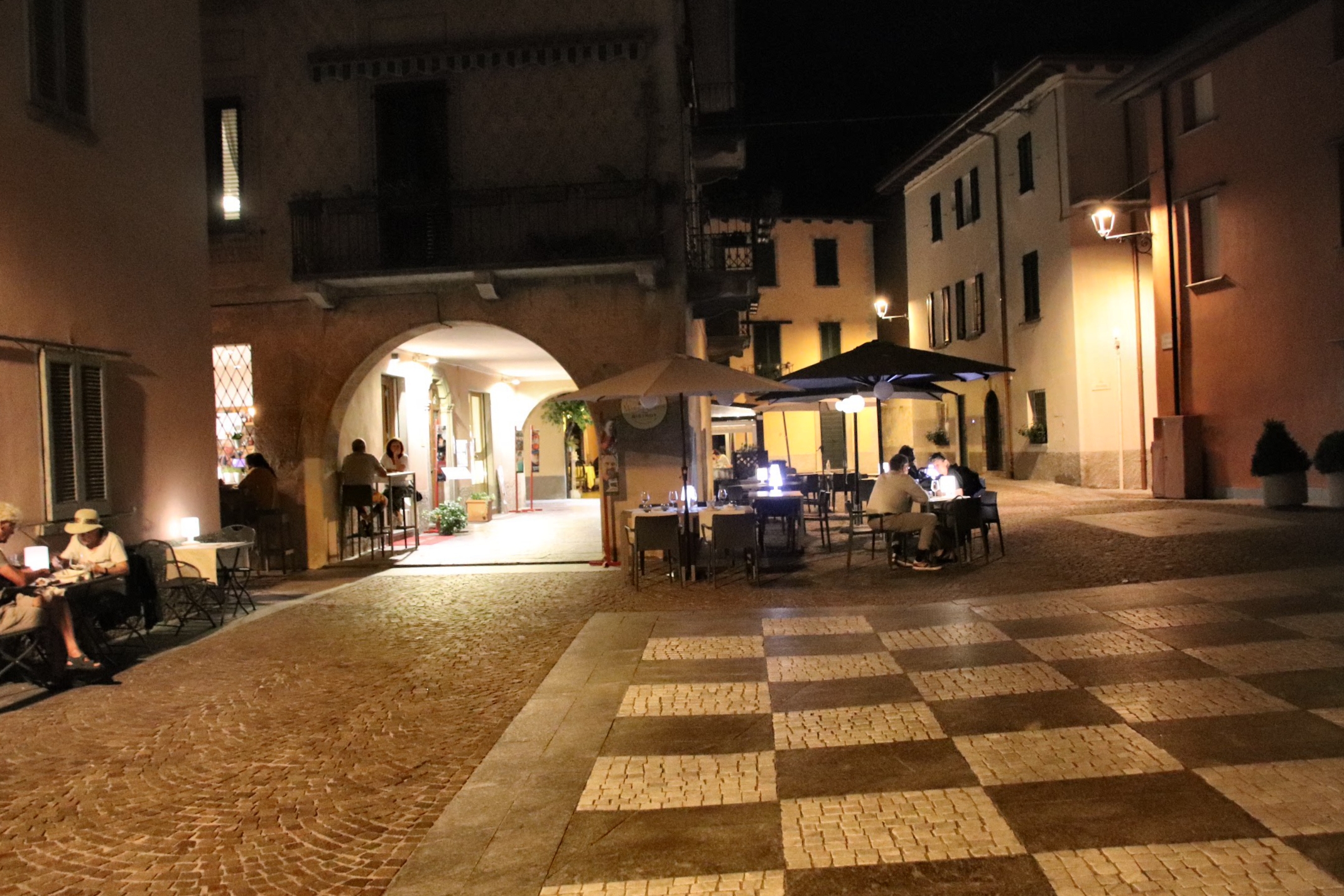
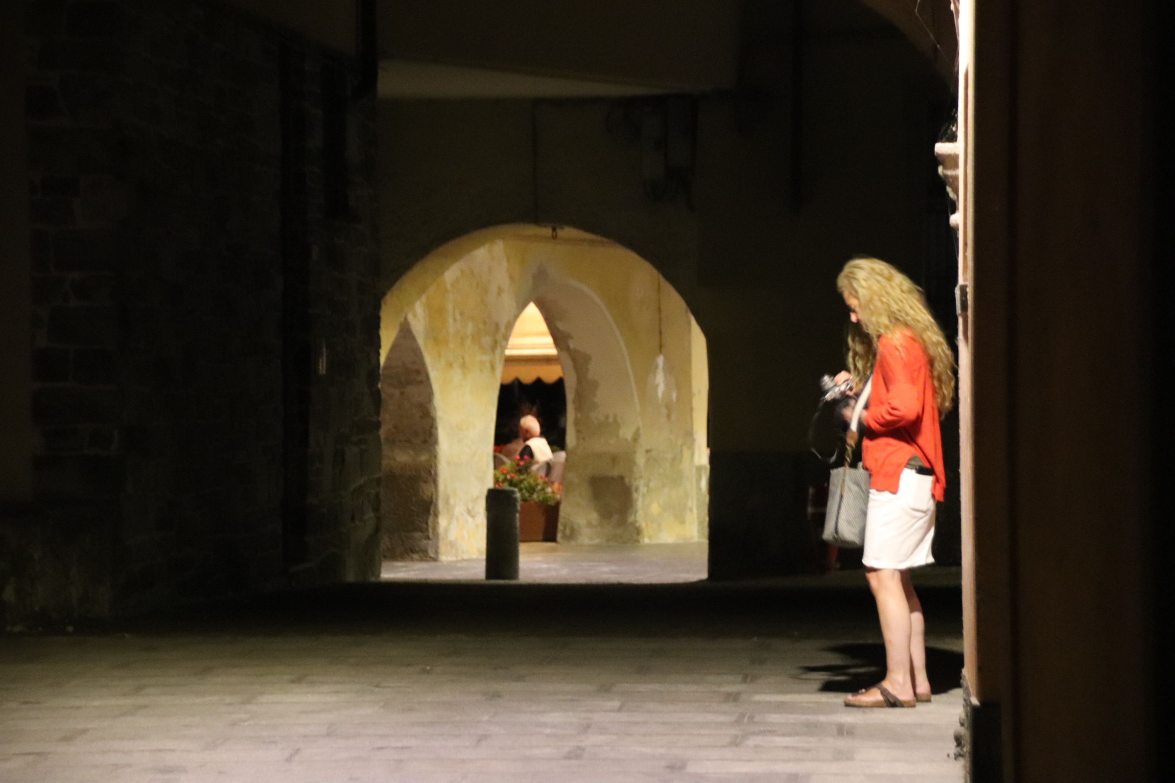
Taormona itself is basically a single cobbled street running between 3 ancient gates with narrow stepped alleyways diving up & down to either side. Ancient churches, piazzas & palaces dating back to medieval times rub shoulders with high end fashion shops, eateries & posh souvenir establishments.


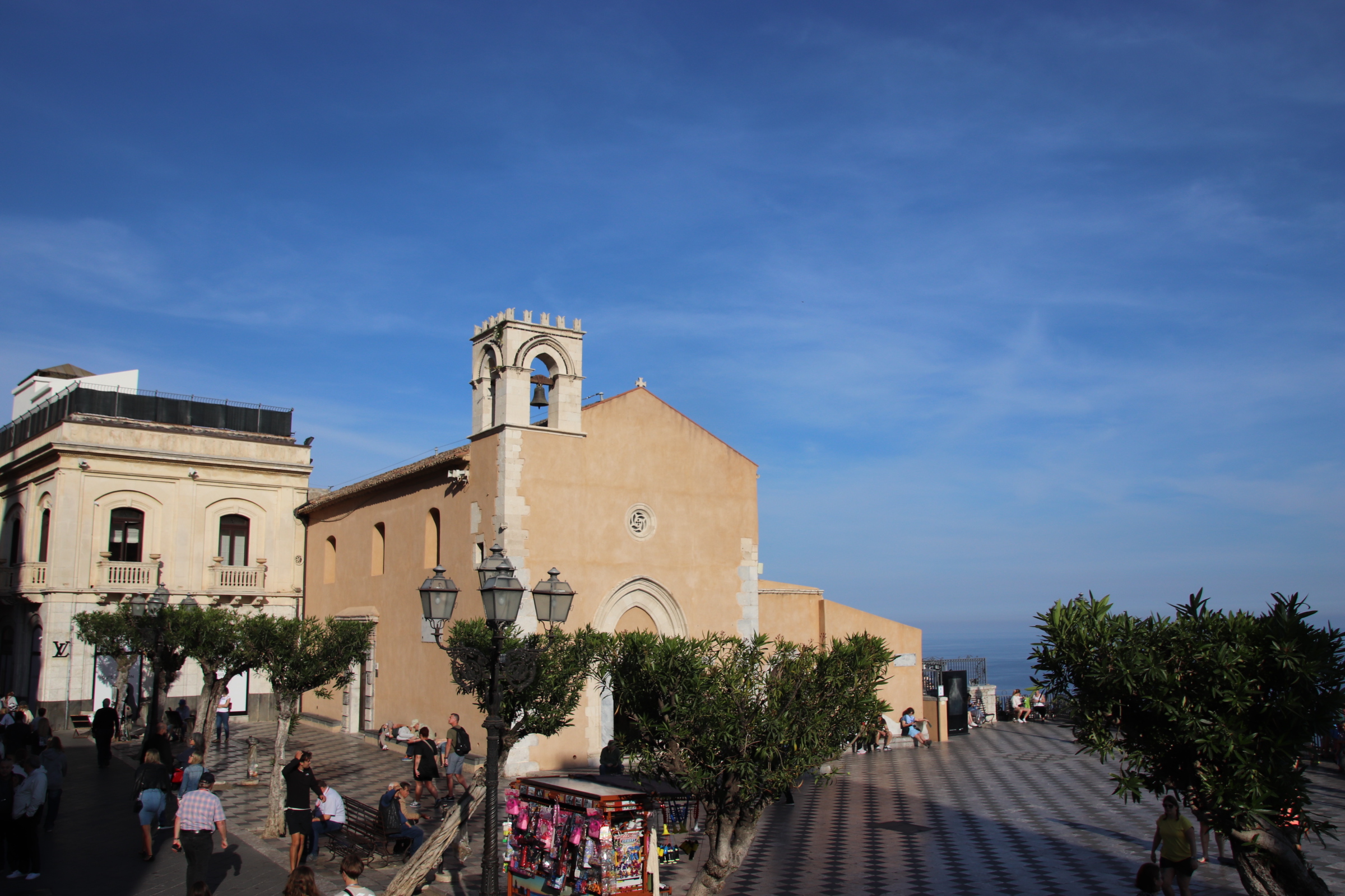

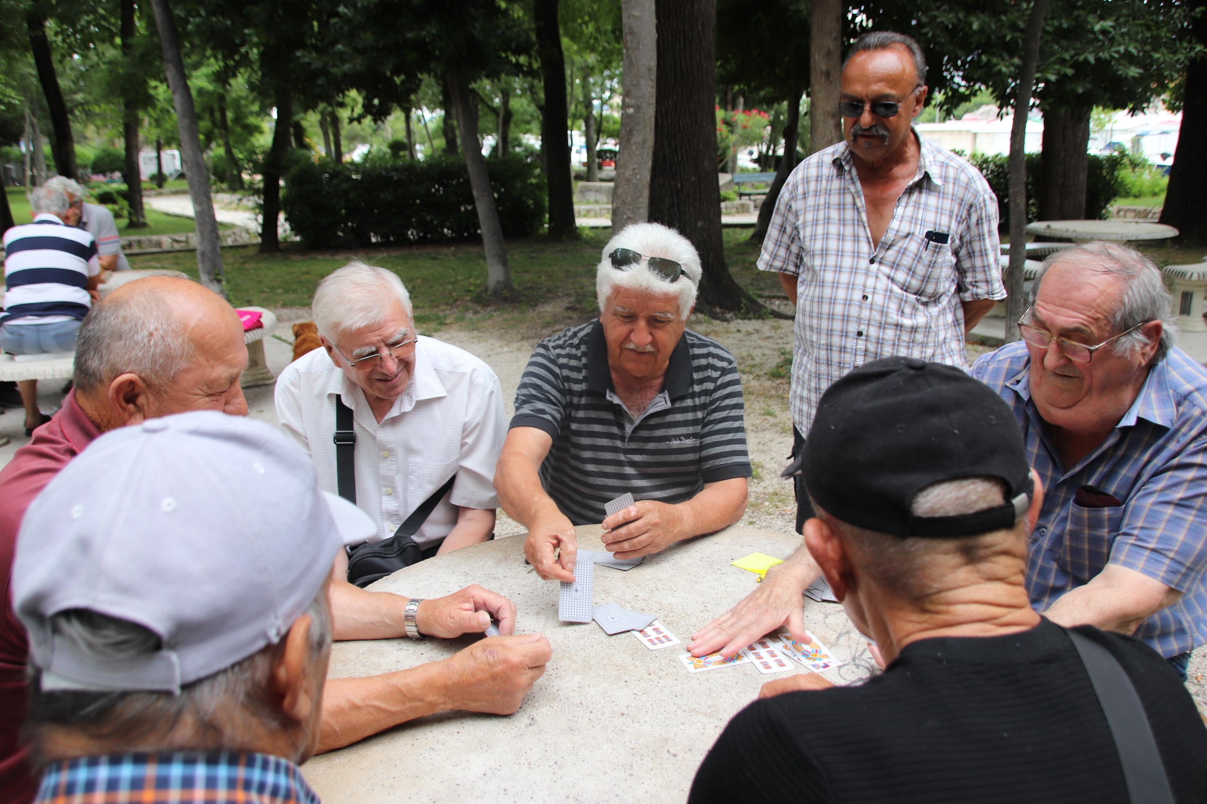
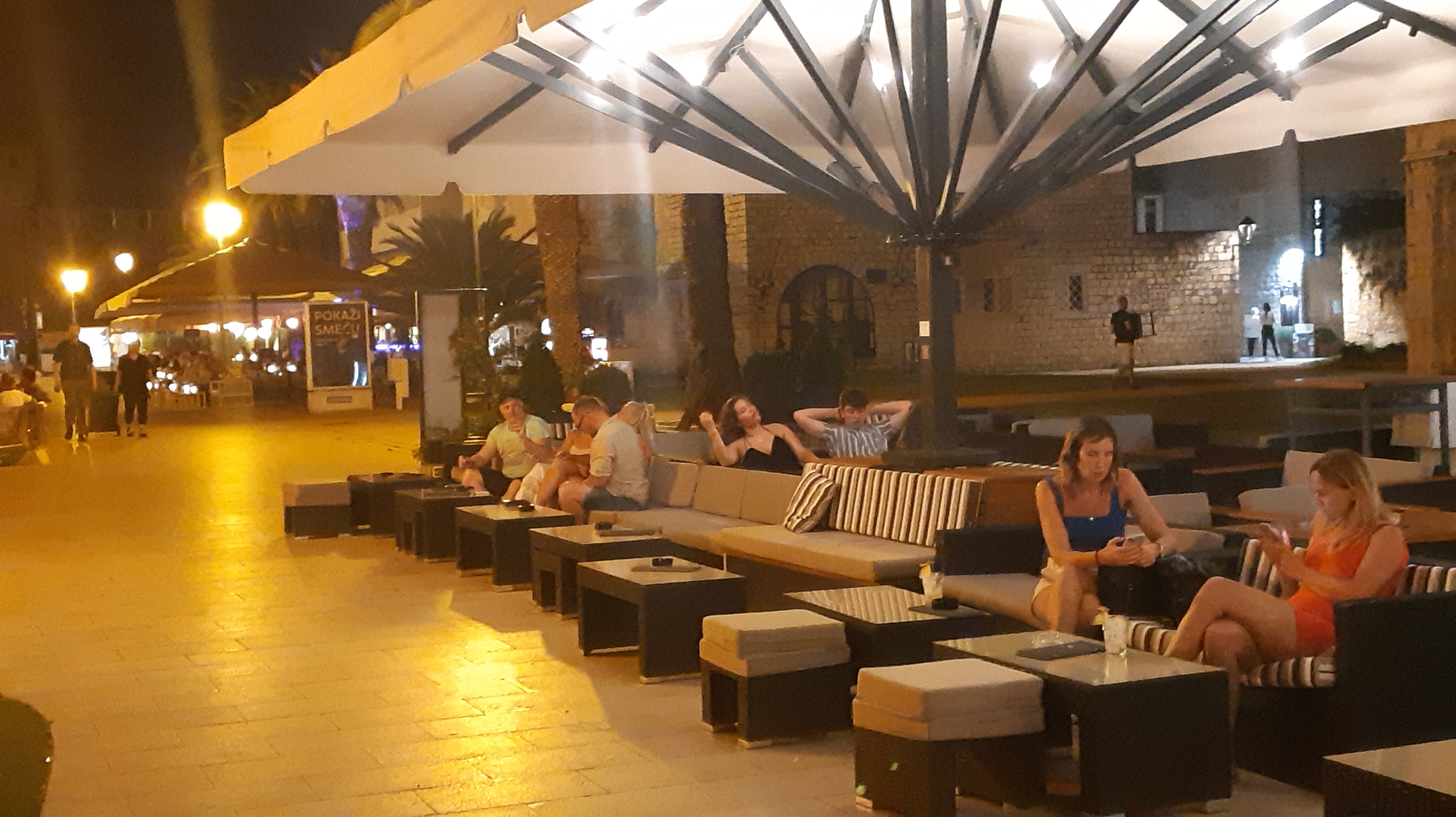
During the day dragon’s of young visitors clog the main street.

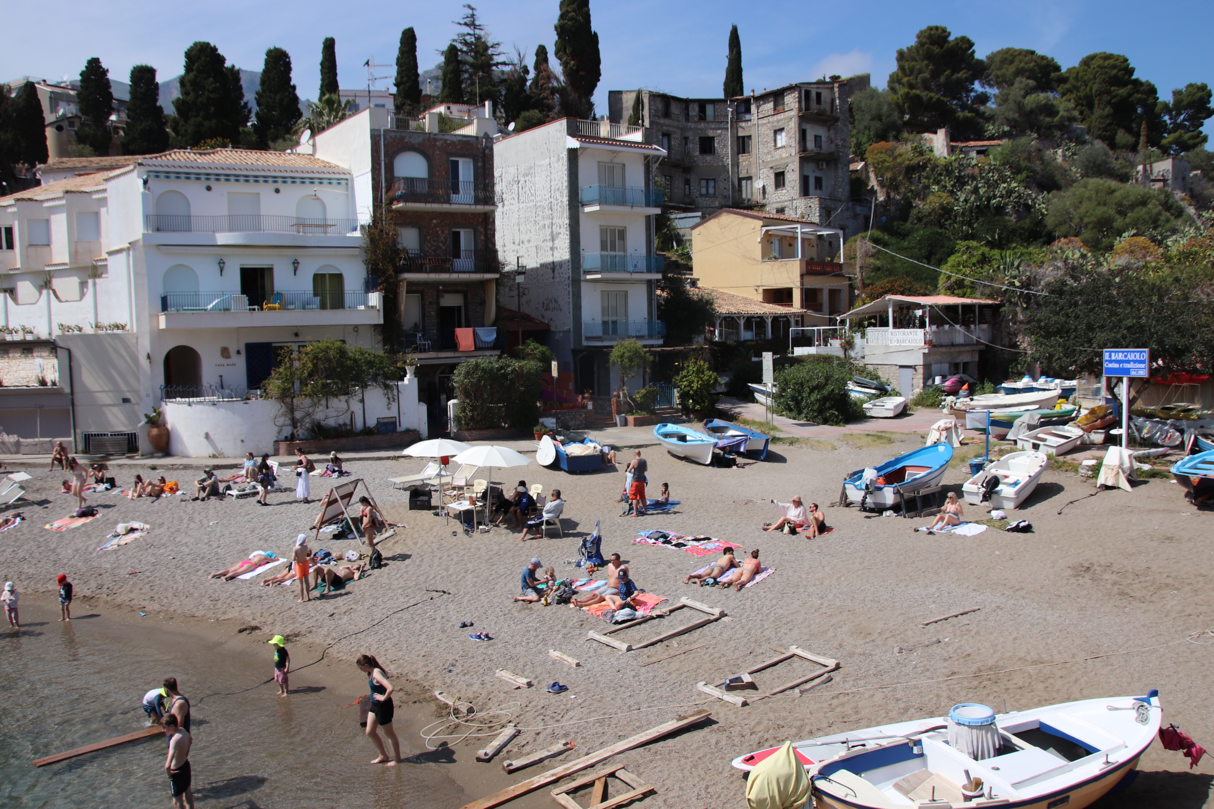
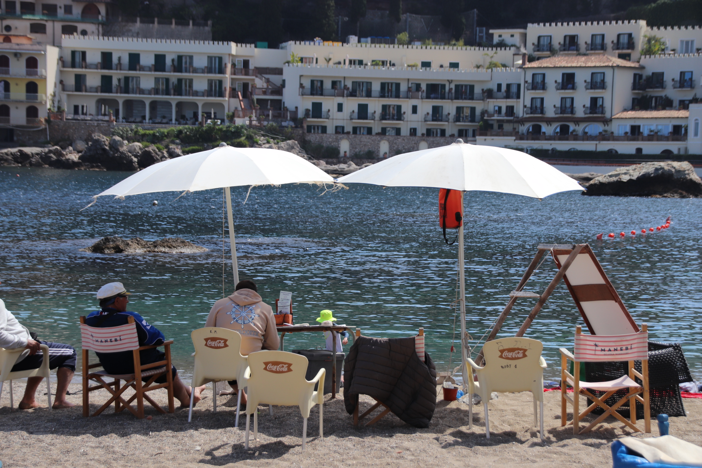
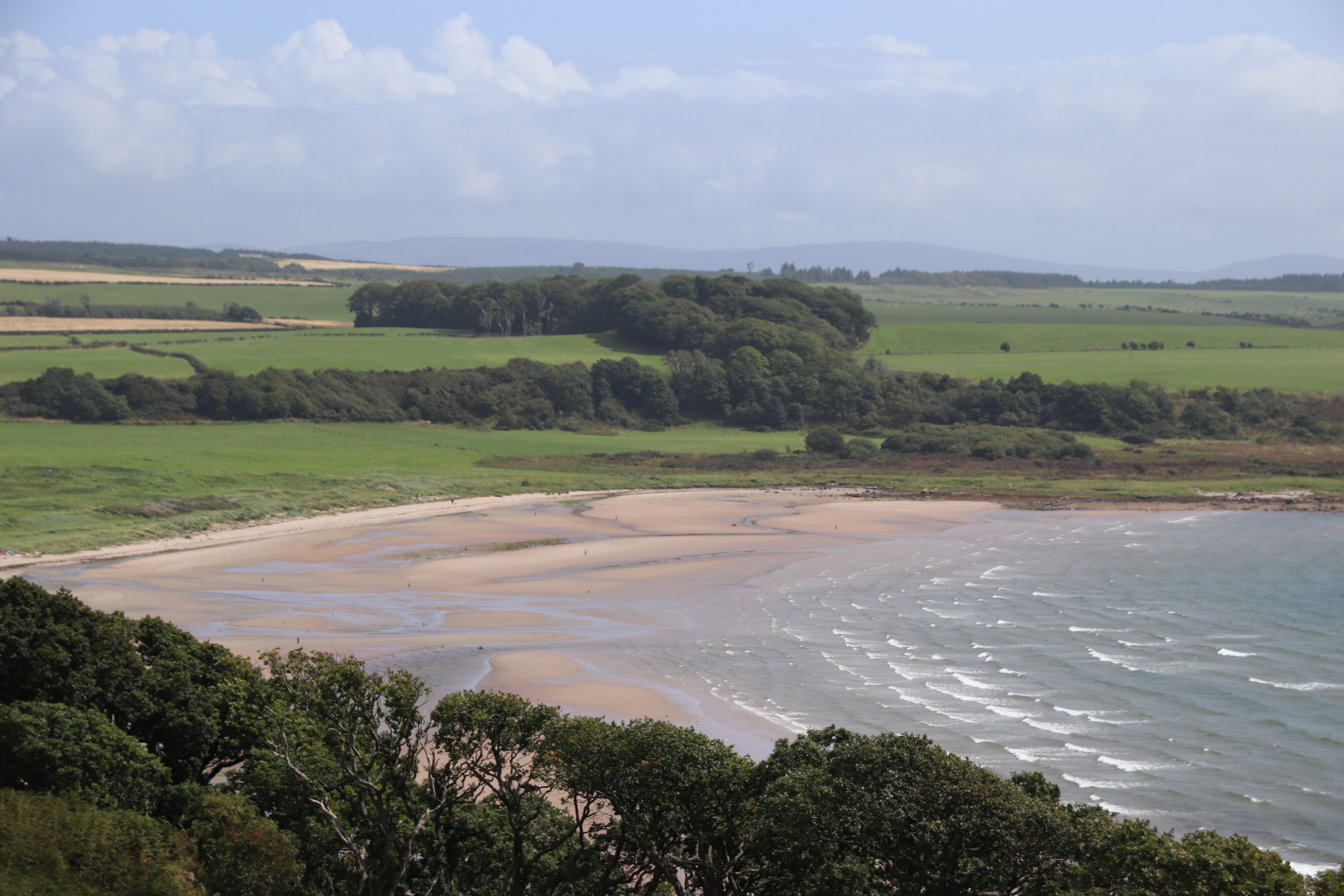
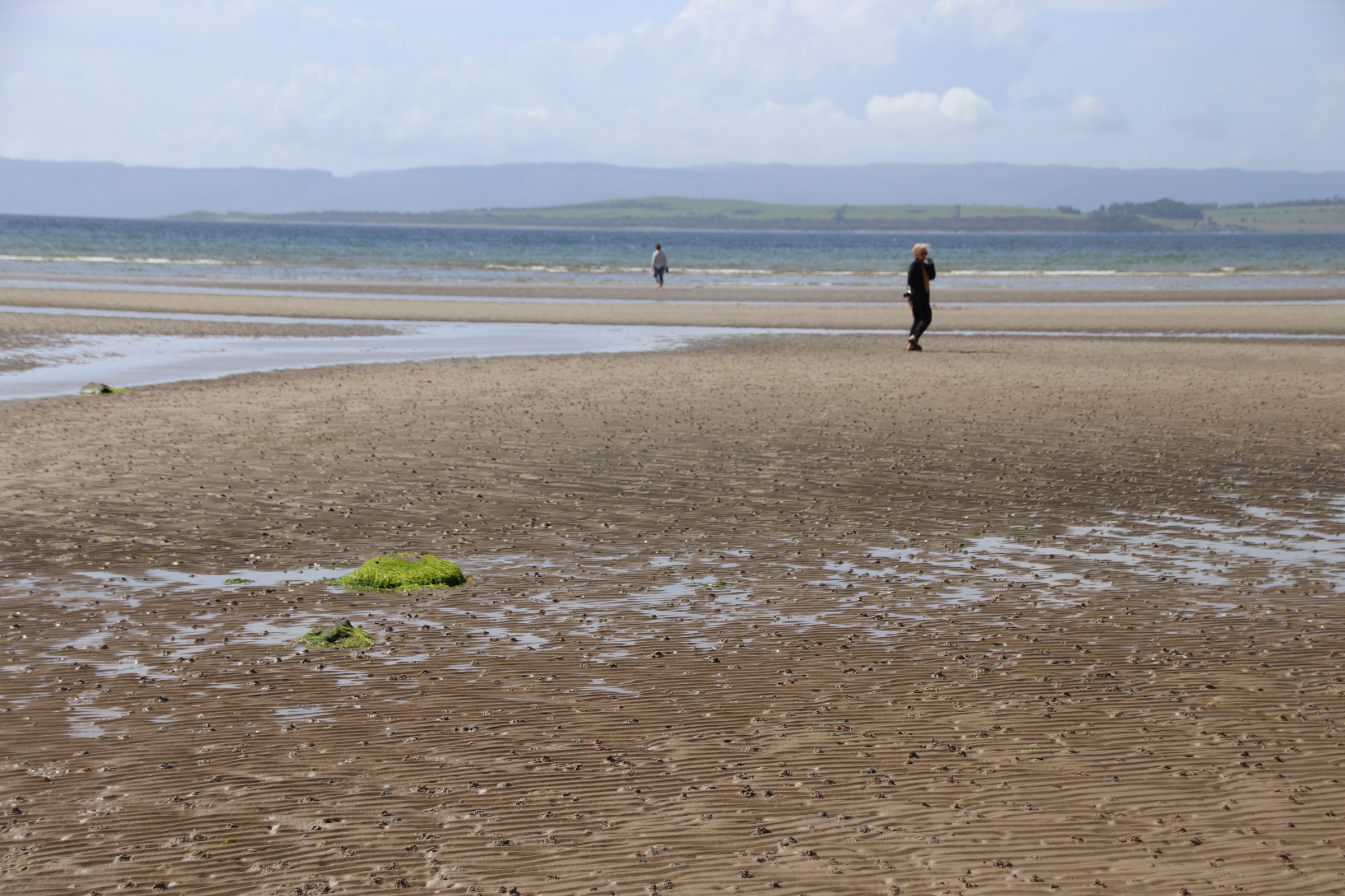
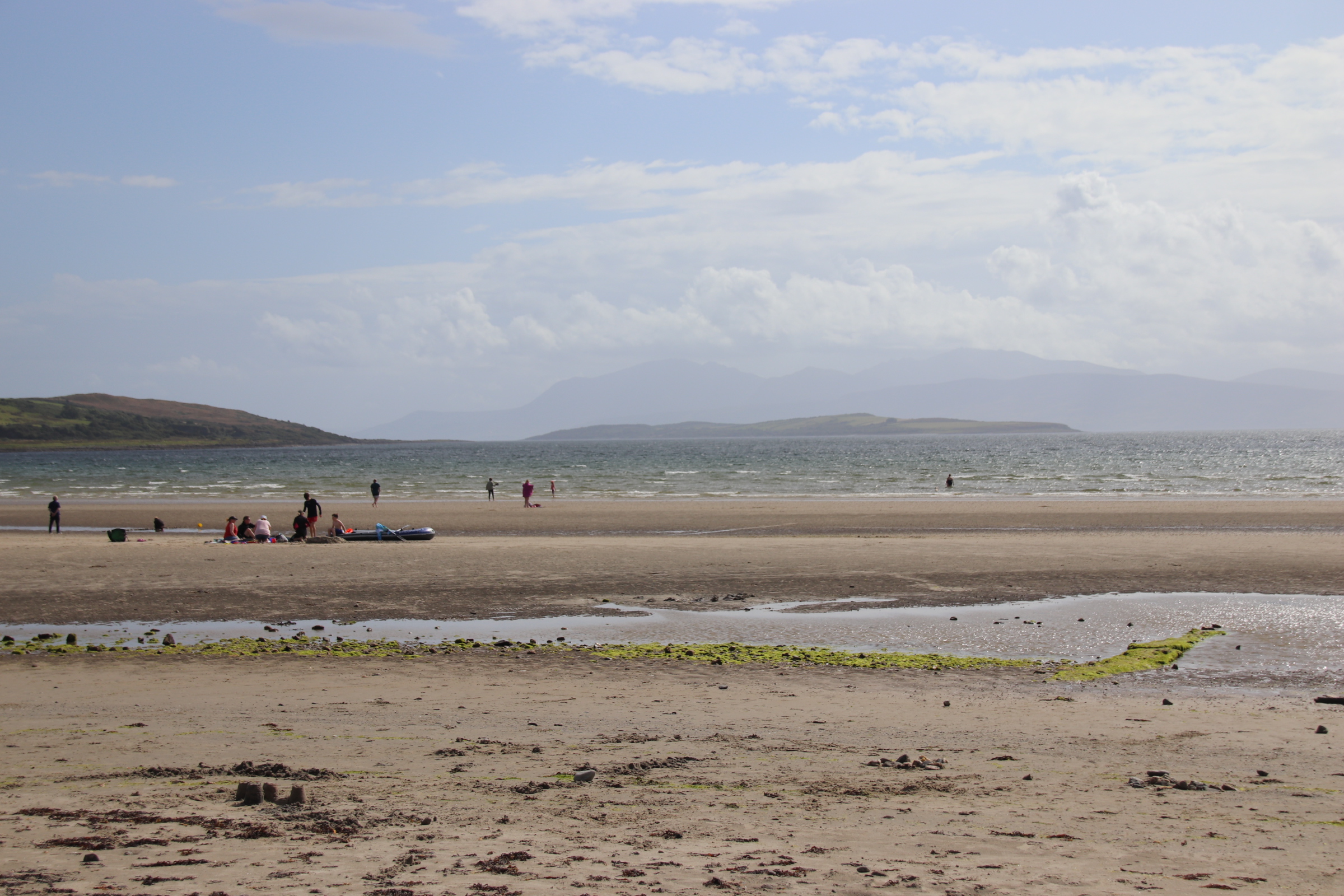
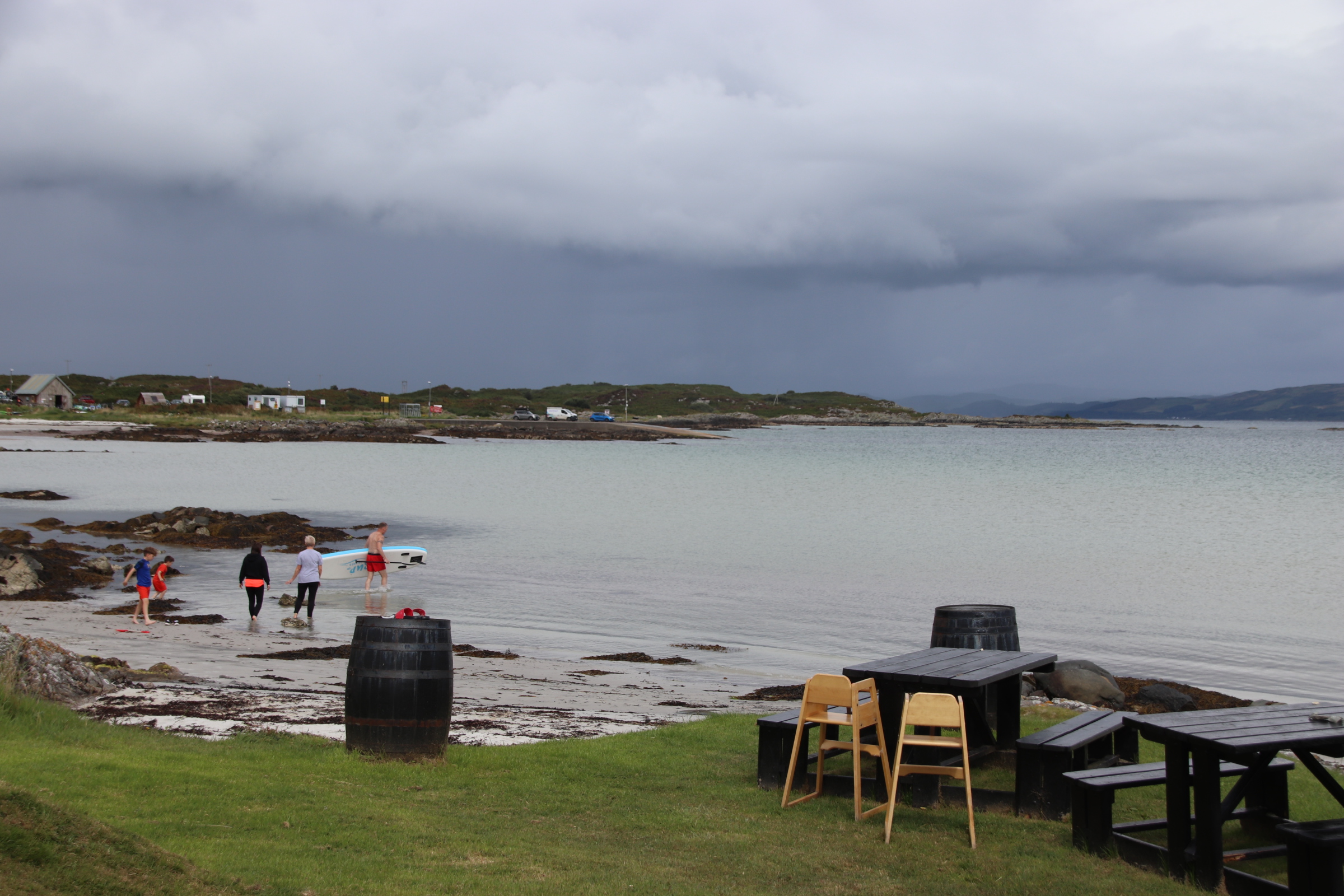
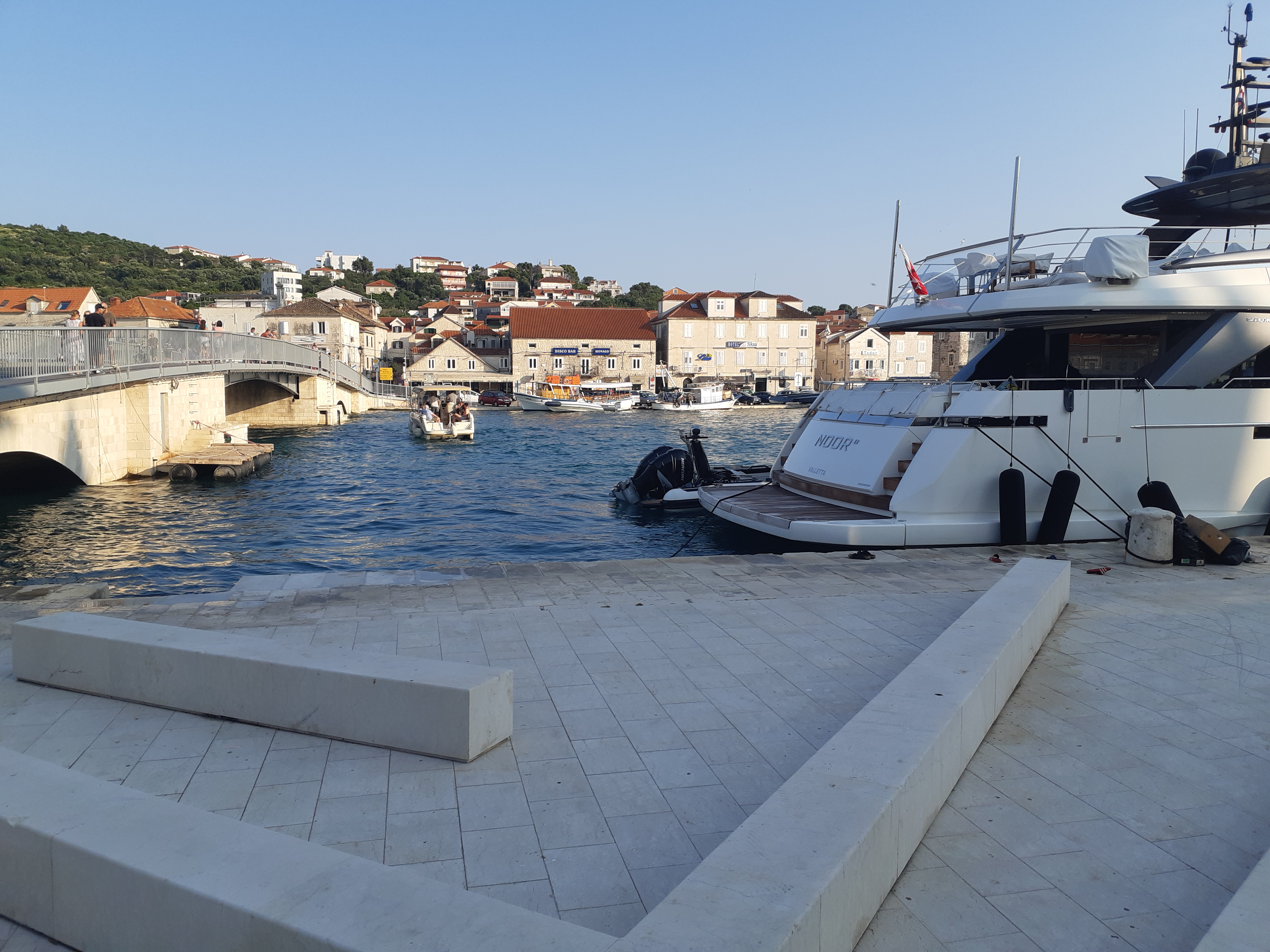
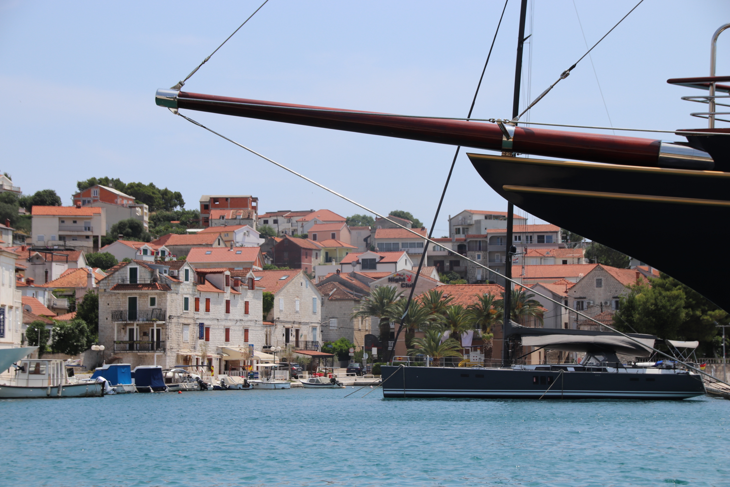
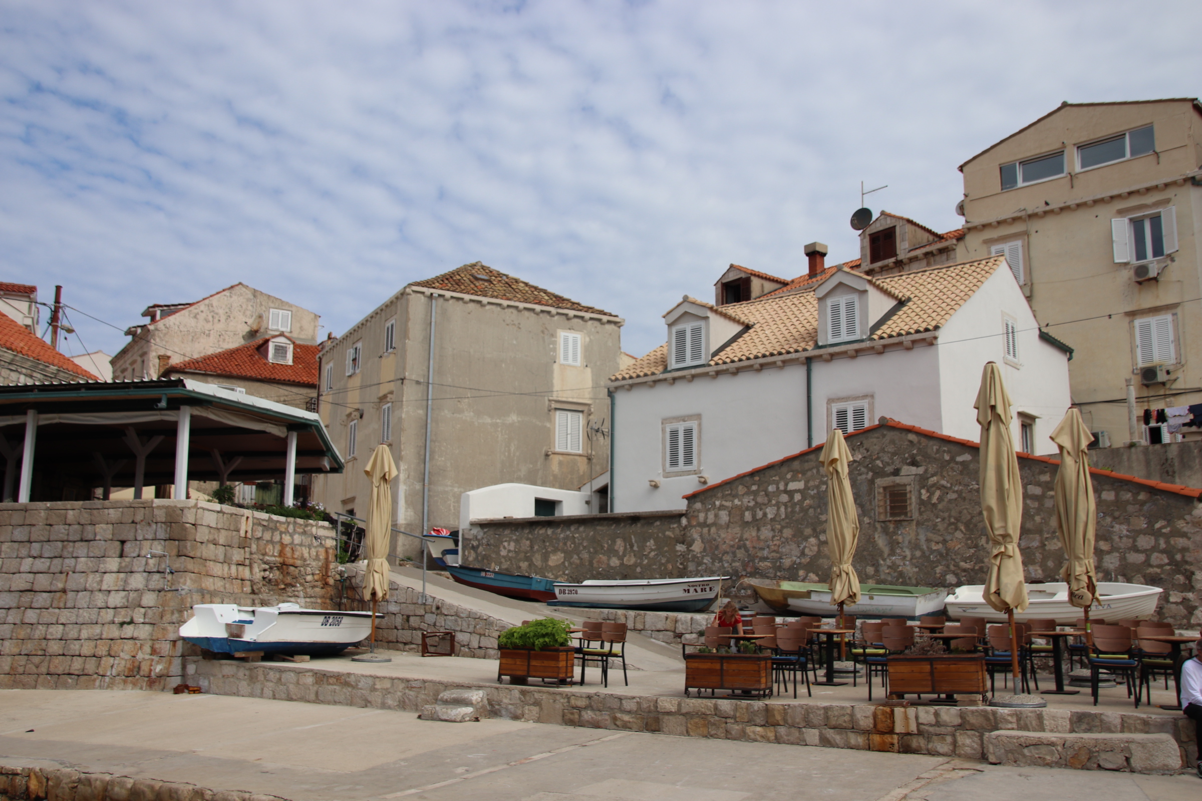
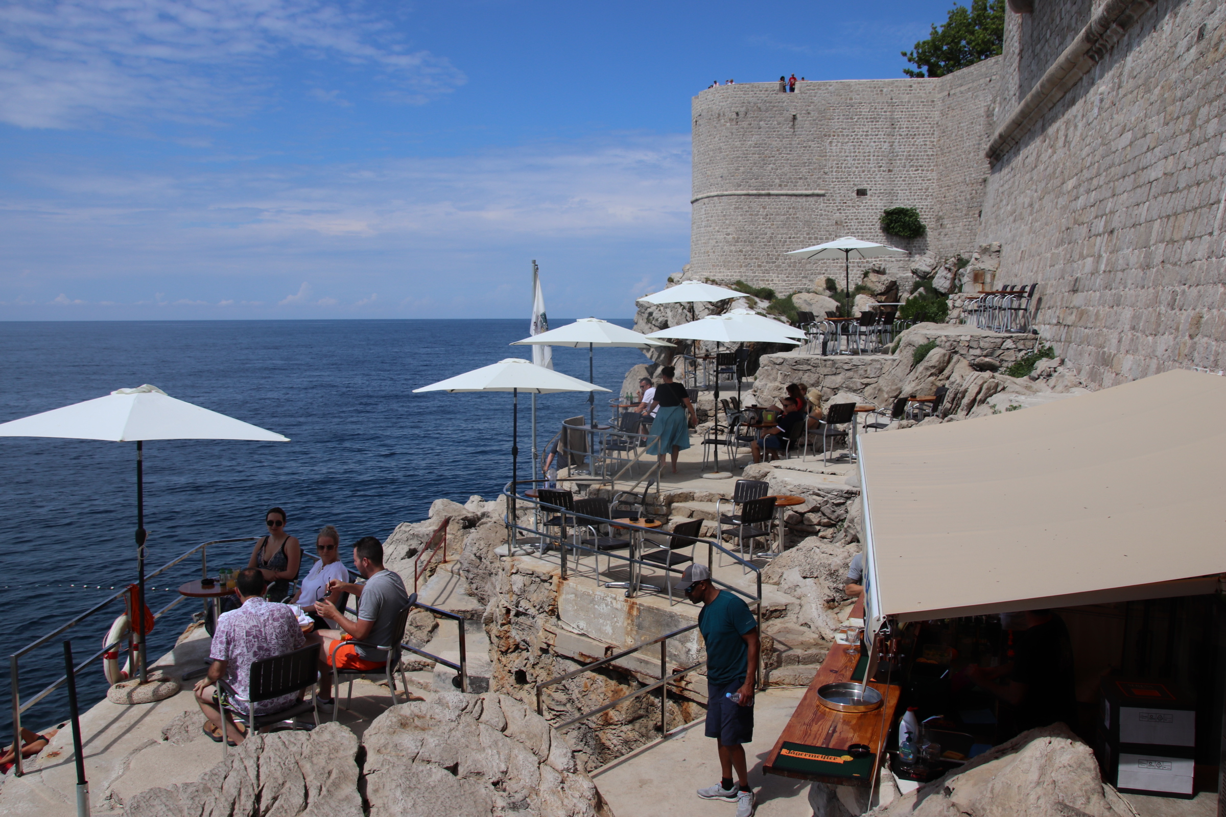
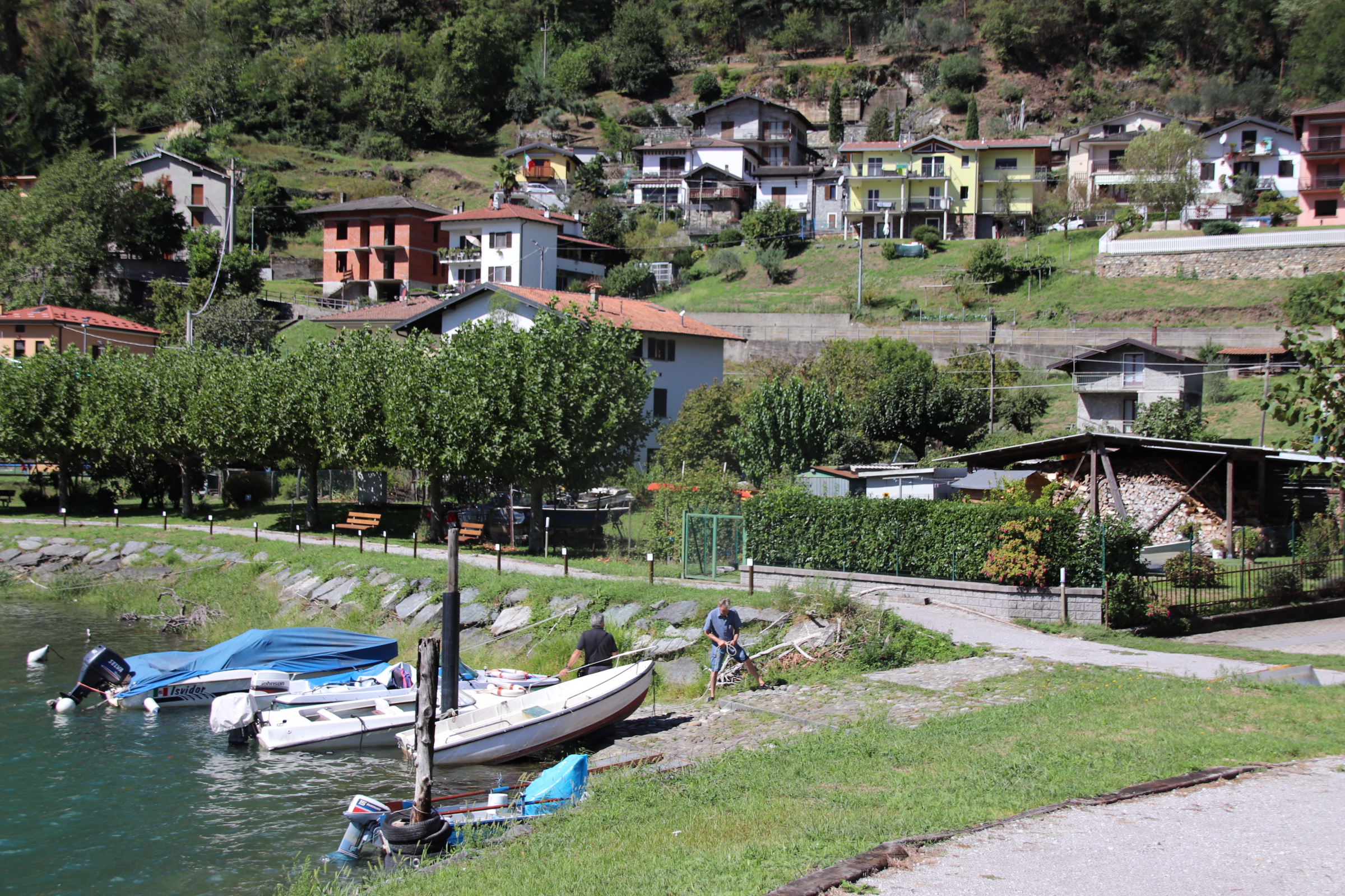
At the bottom of the cable car, or a stepped descent of what feels like 3km from the old town, lies the beach area where White Lotus hotels rub up against public beaches. The latter look much more fun!


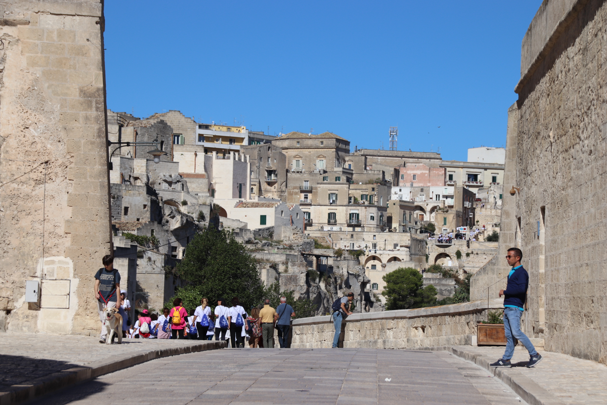
I should remind everyone that however easy it is to go down, there is always the going back up to take into account and, boy, those steps are steep.


You must be logged in to post a comment.