The rich and famous, and lots of ordinary folk, in Bonifacio

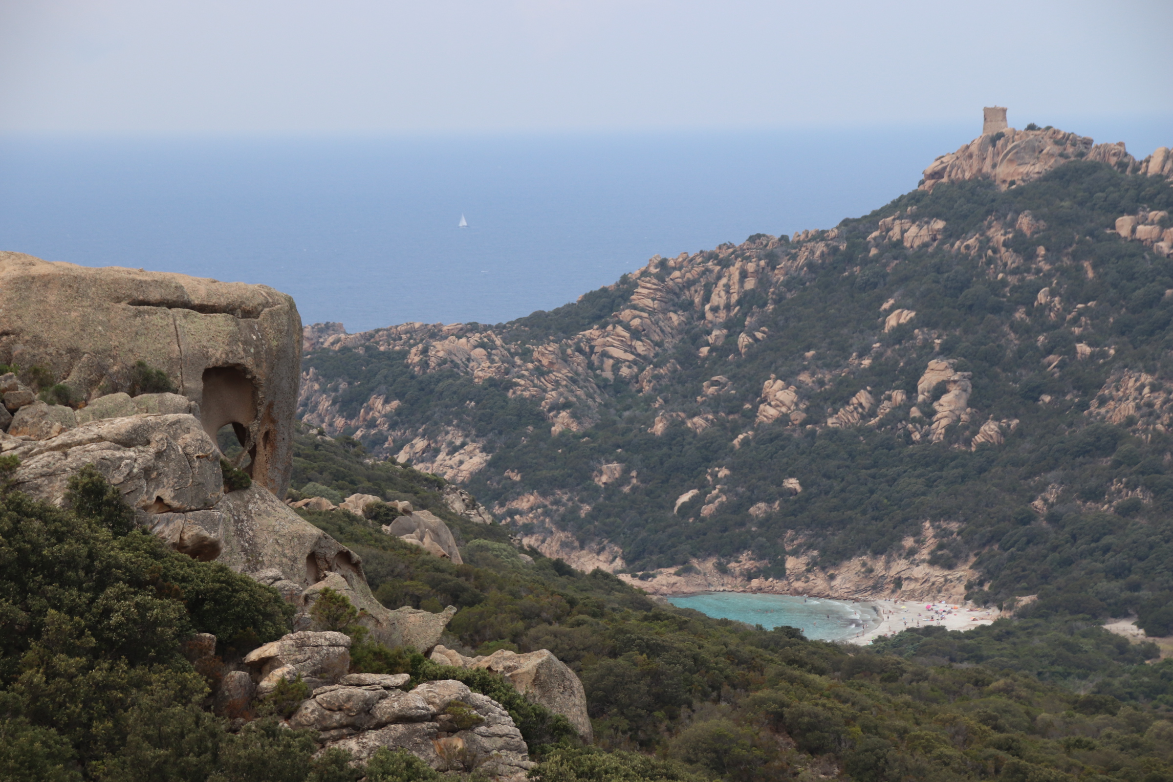
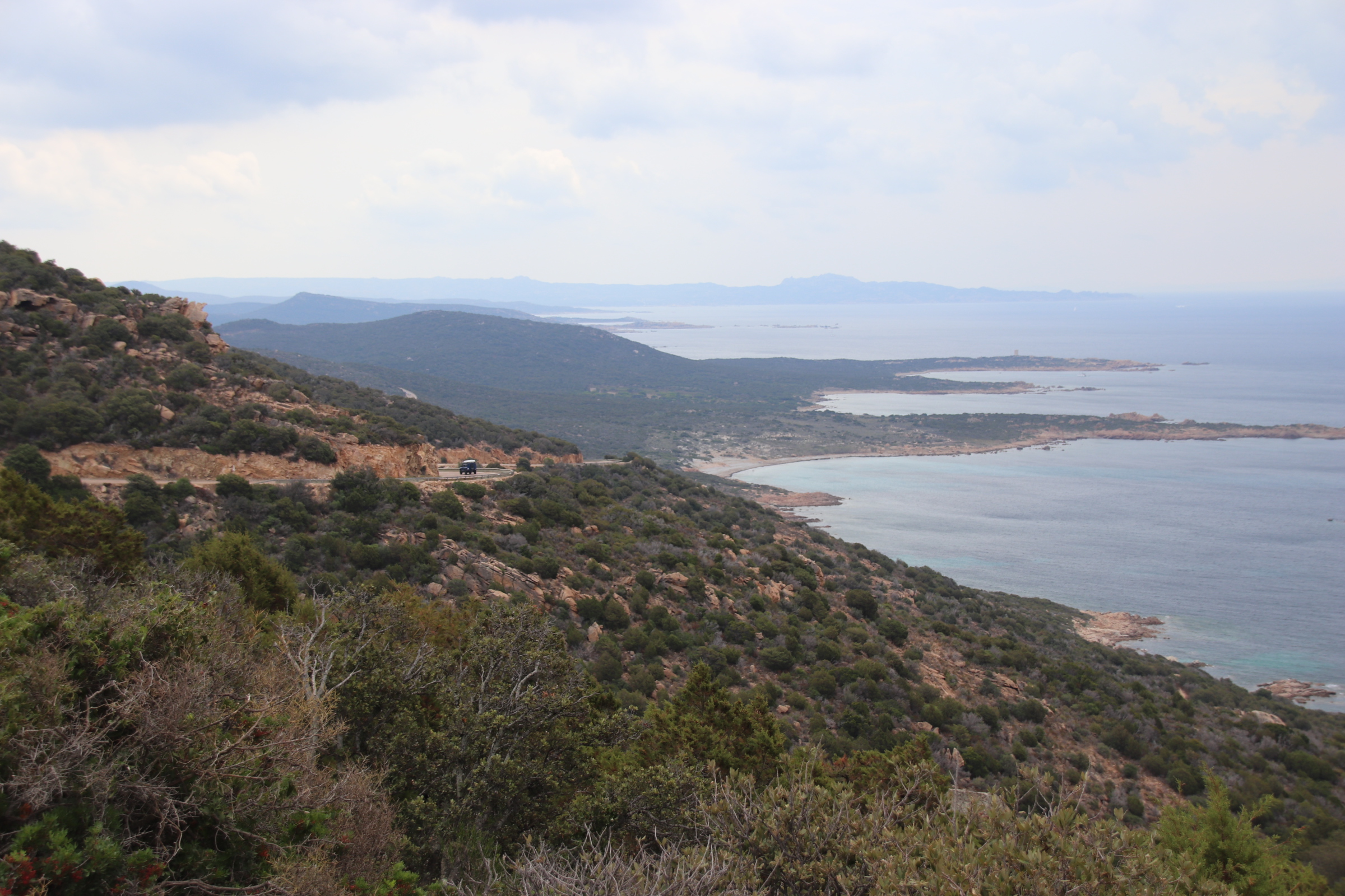
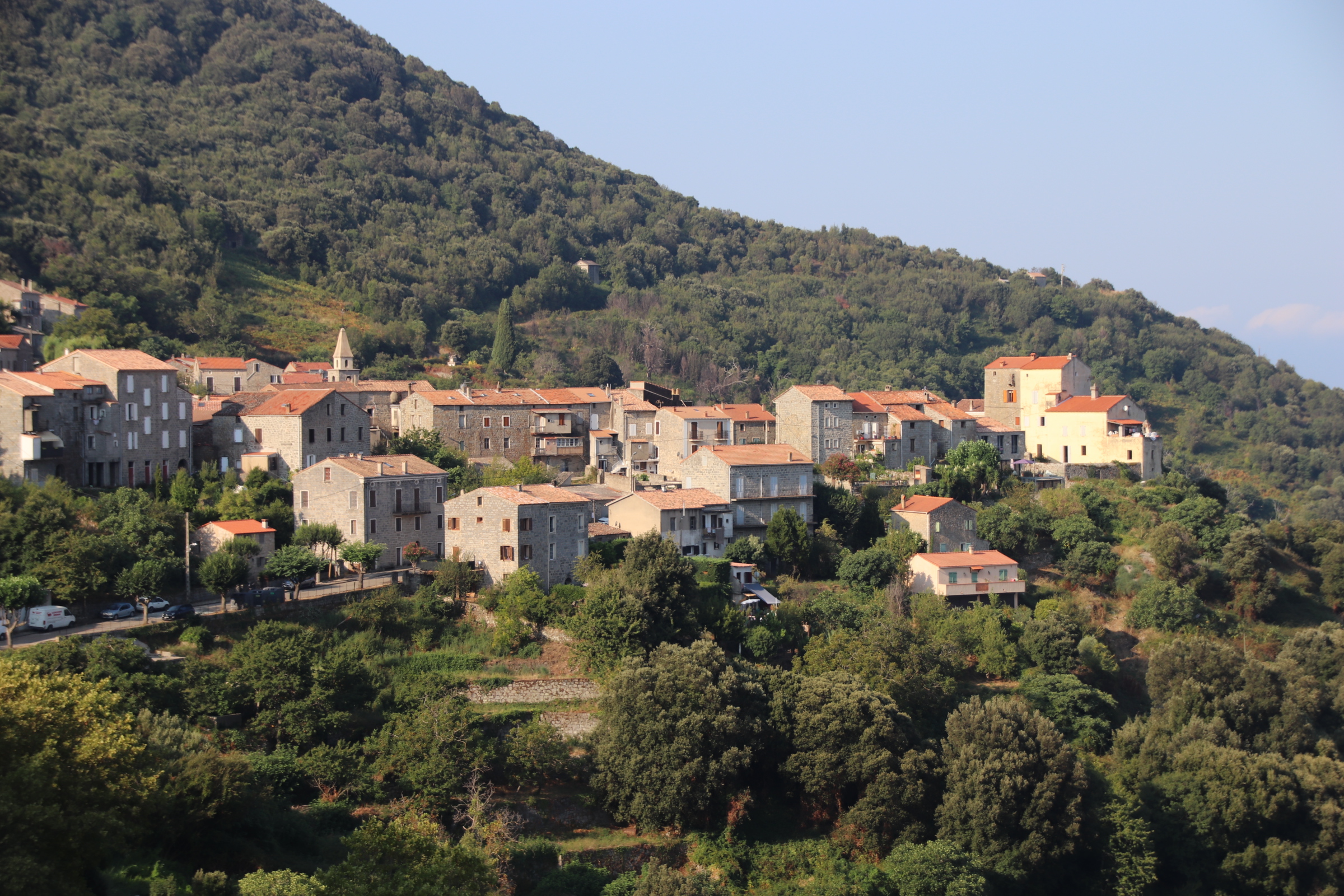
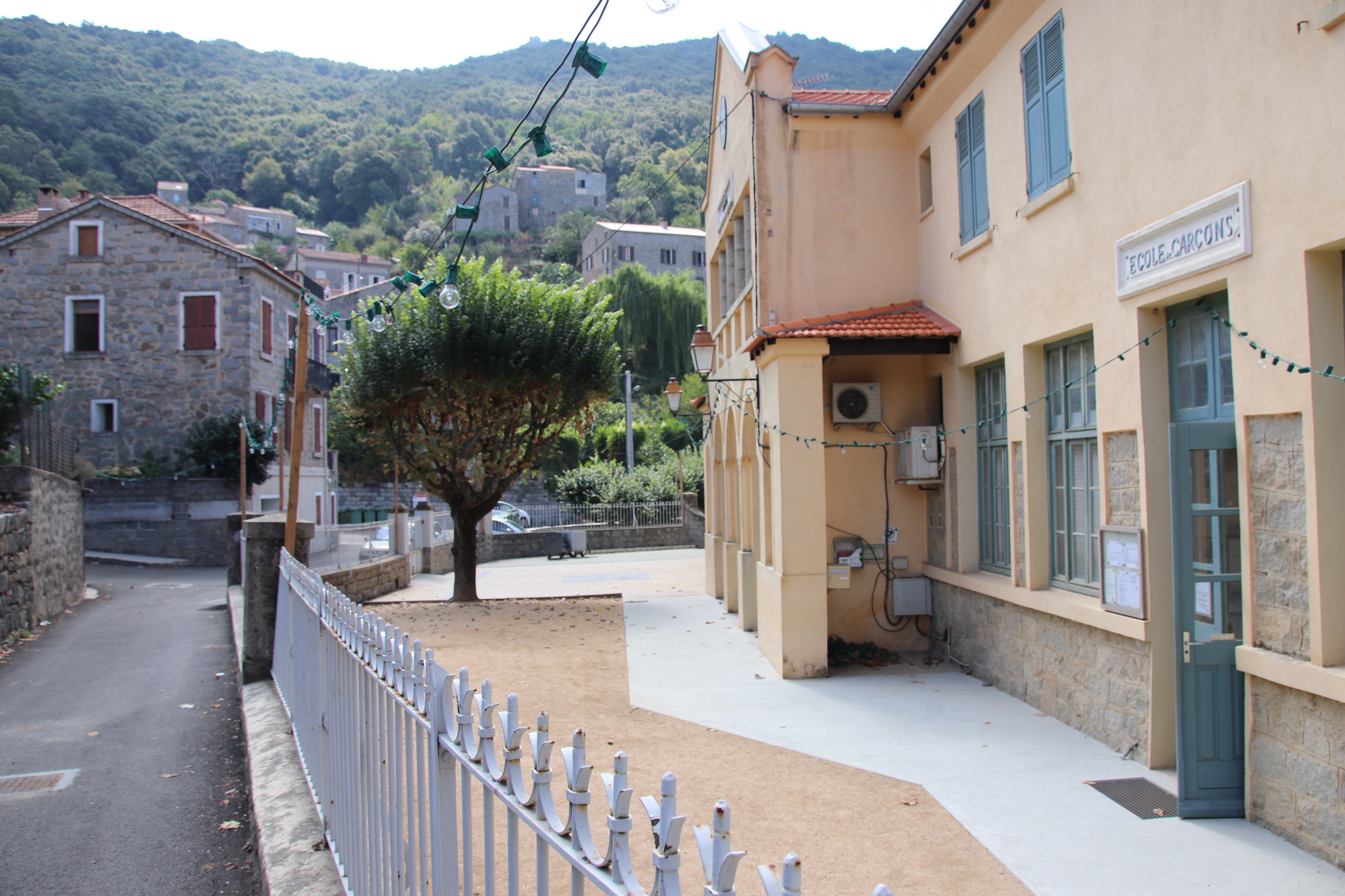
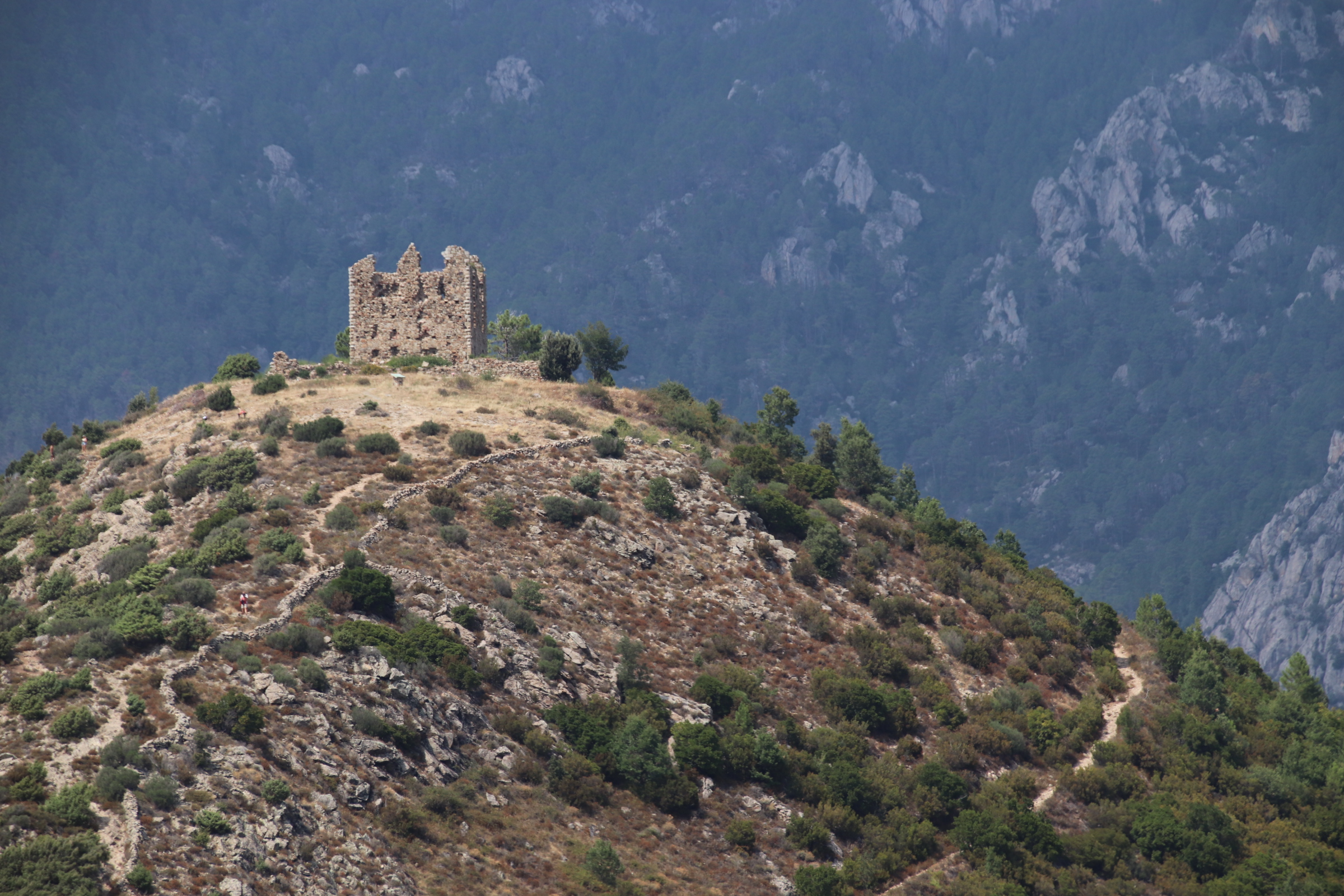
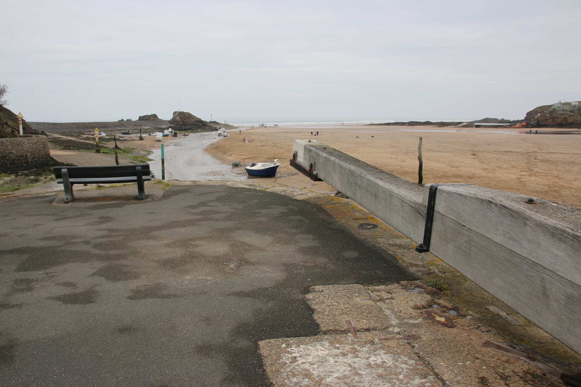
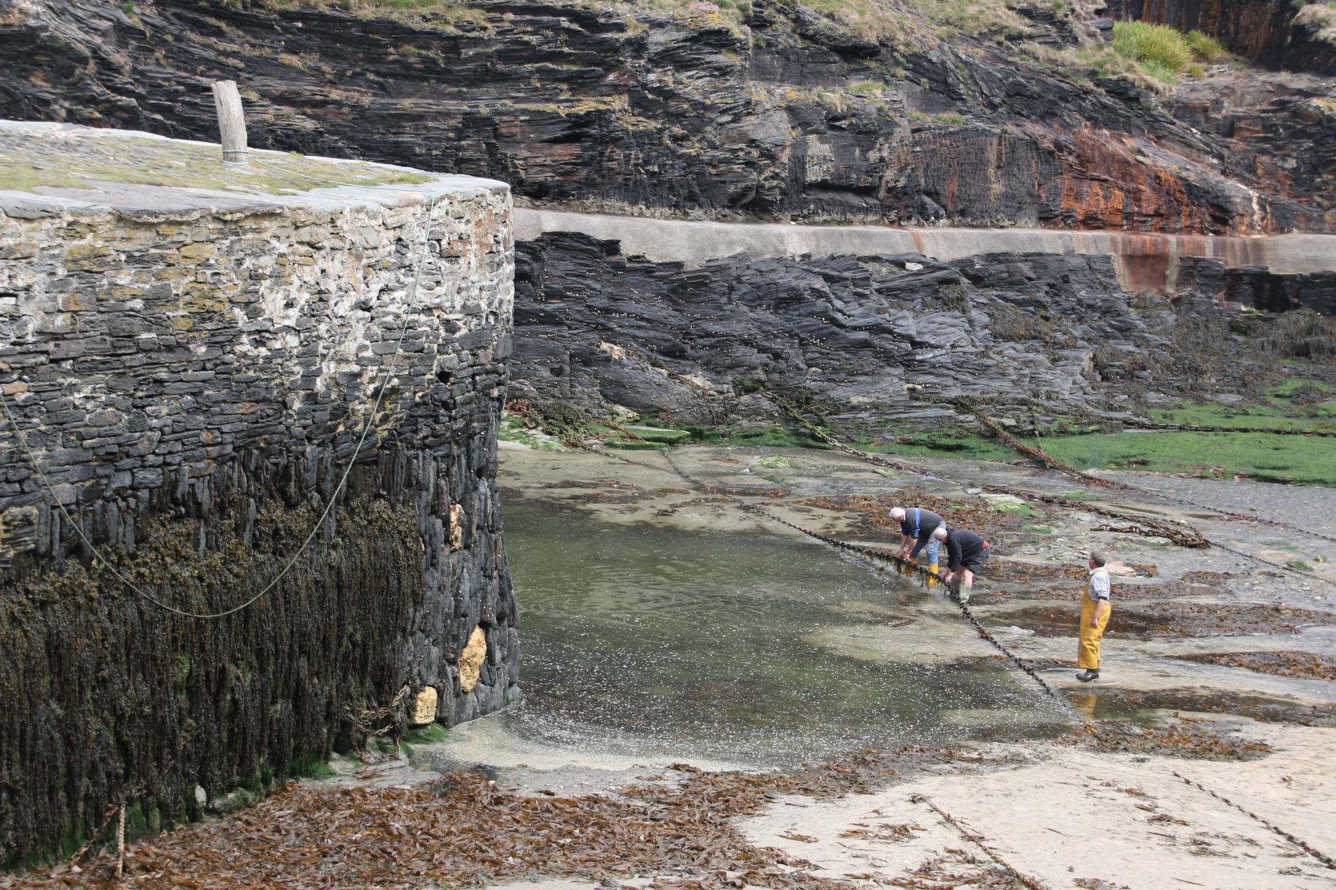
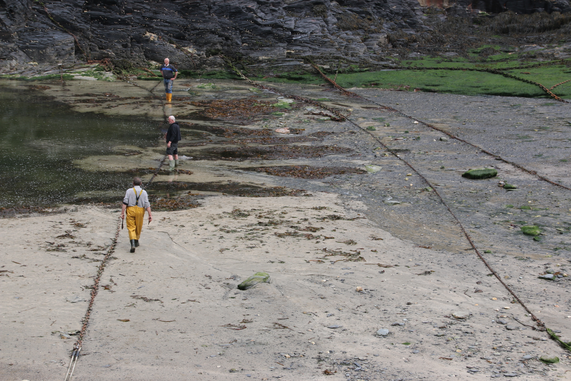
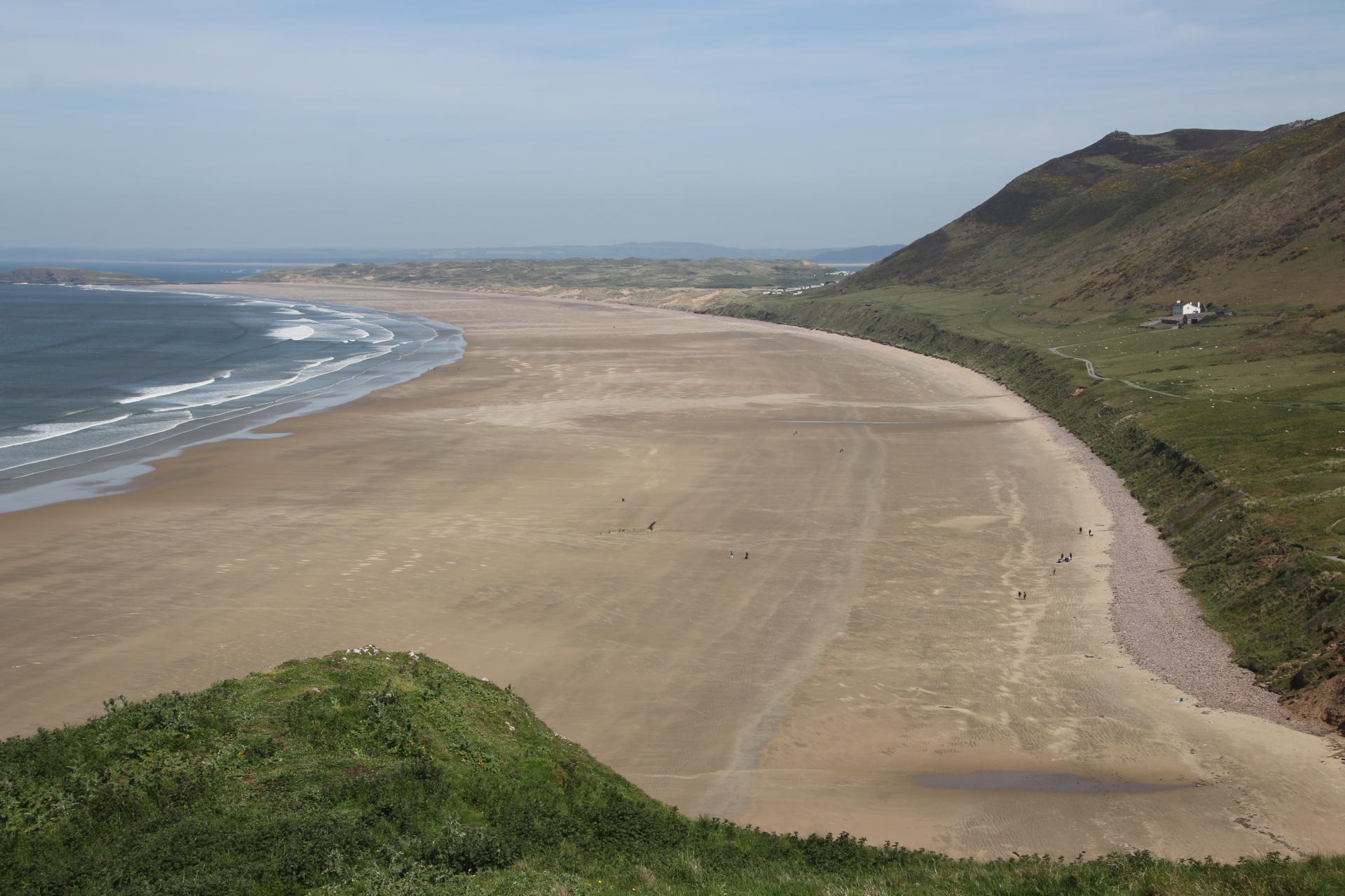
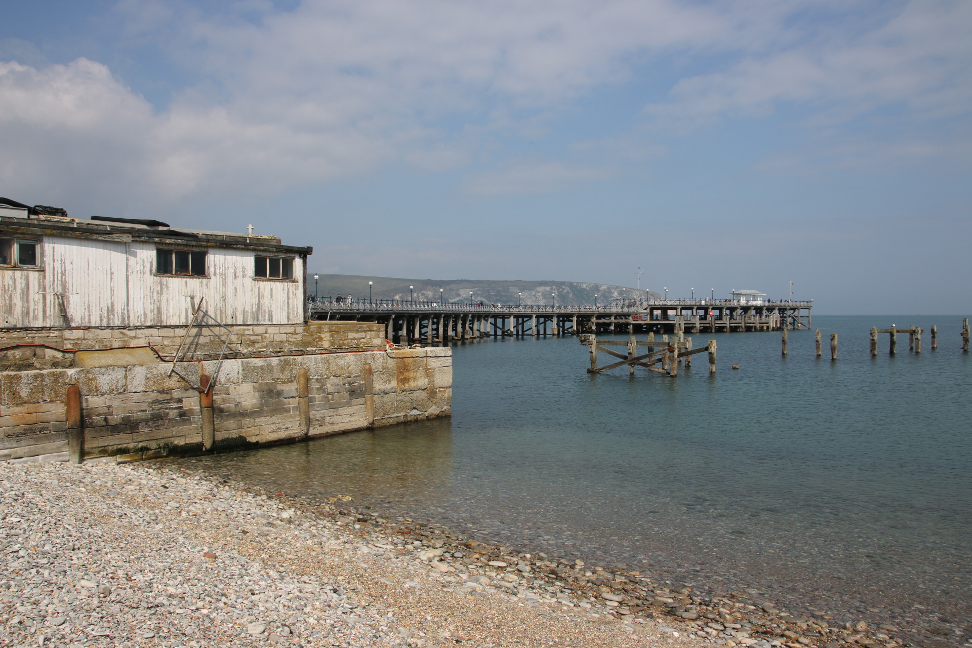
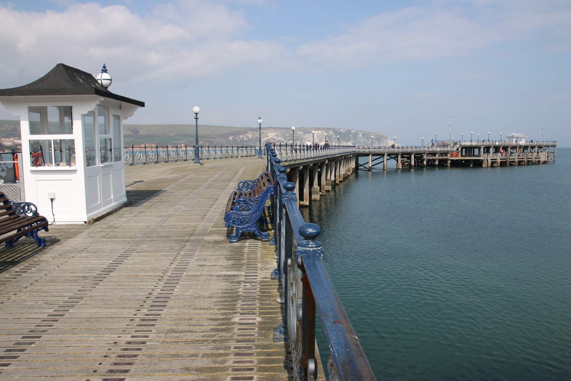
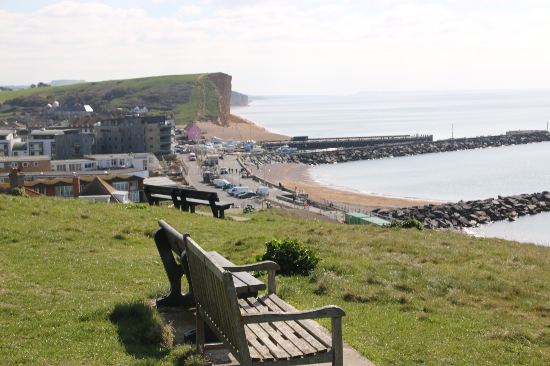
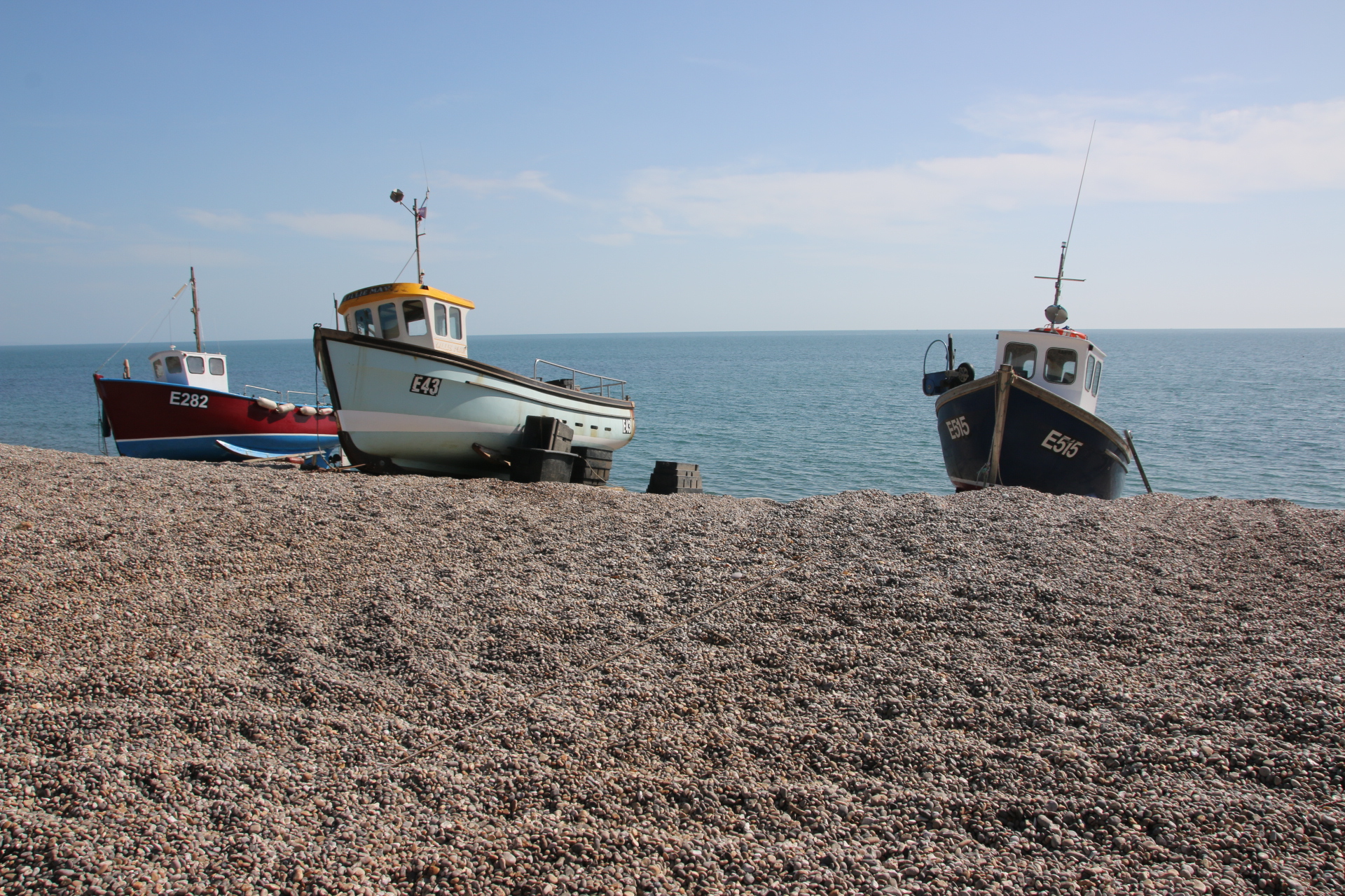
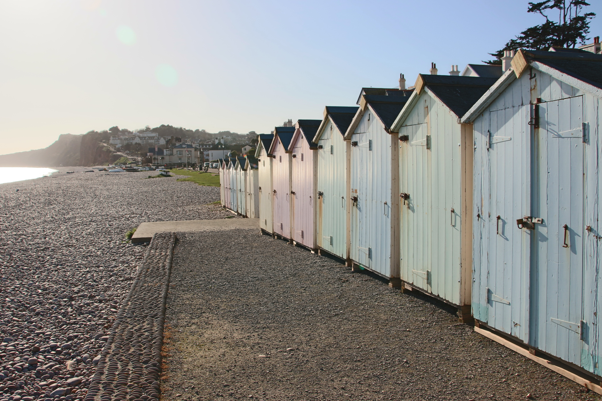
As the sun took a day off today it was time to go exploring in the car. Roads follow the coast and wind through the contours that mark the mountains and ravines. It takes forever to travel any distances and the sat nav shows why. The routes are shown as a long, tight snakes lassooing its way through scrubby green terrain. Following the coast road south, these images are typical of the glorious open space that is Corse.

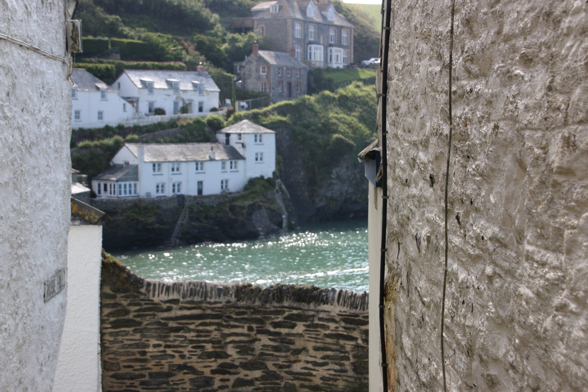
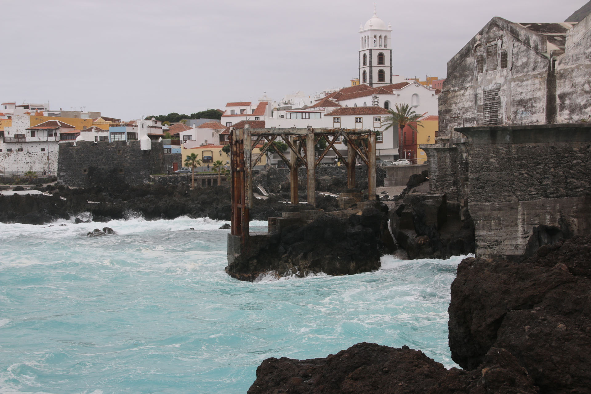
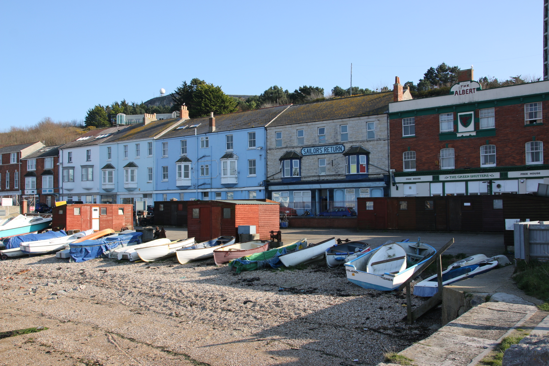
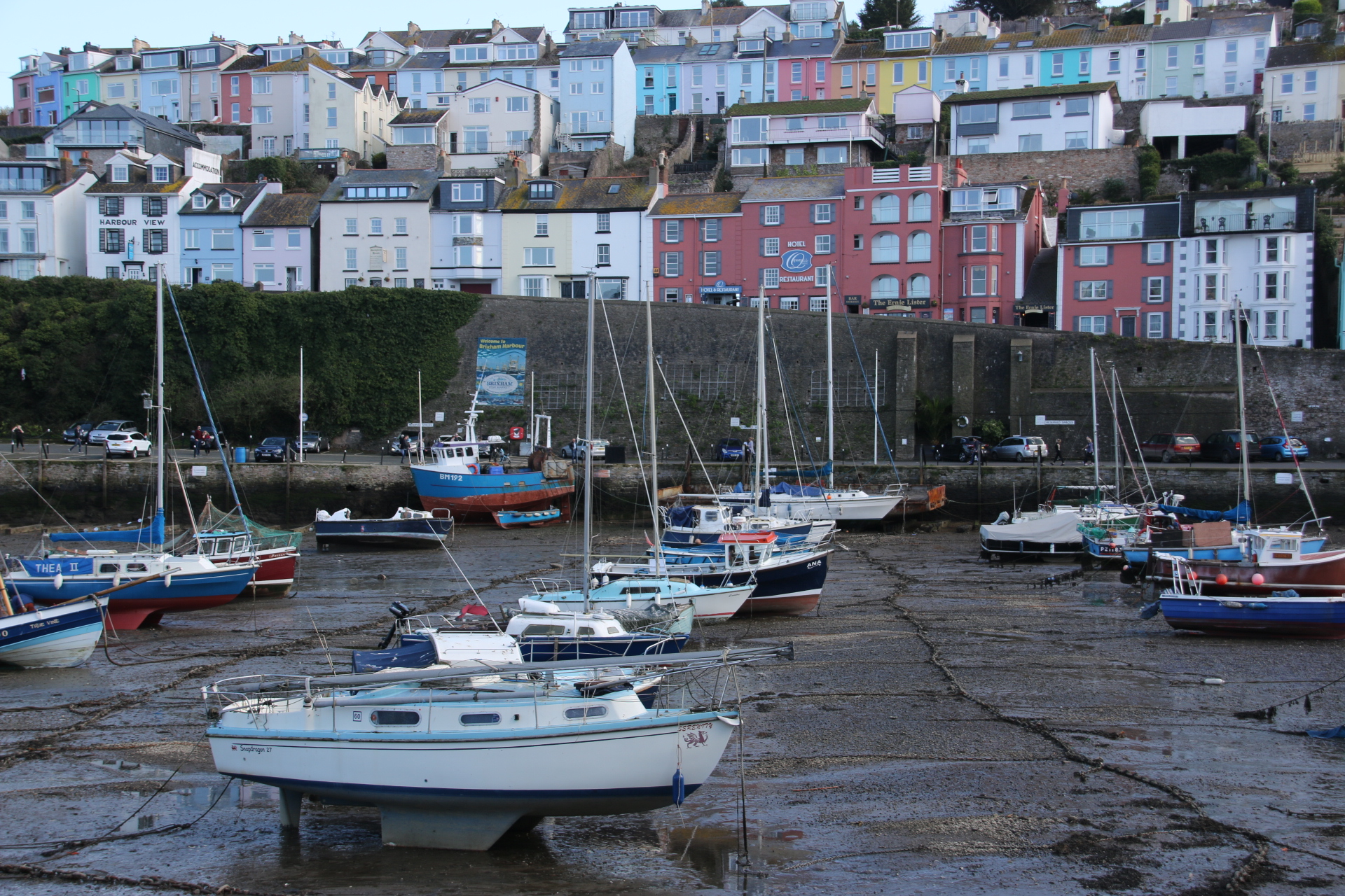
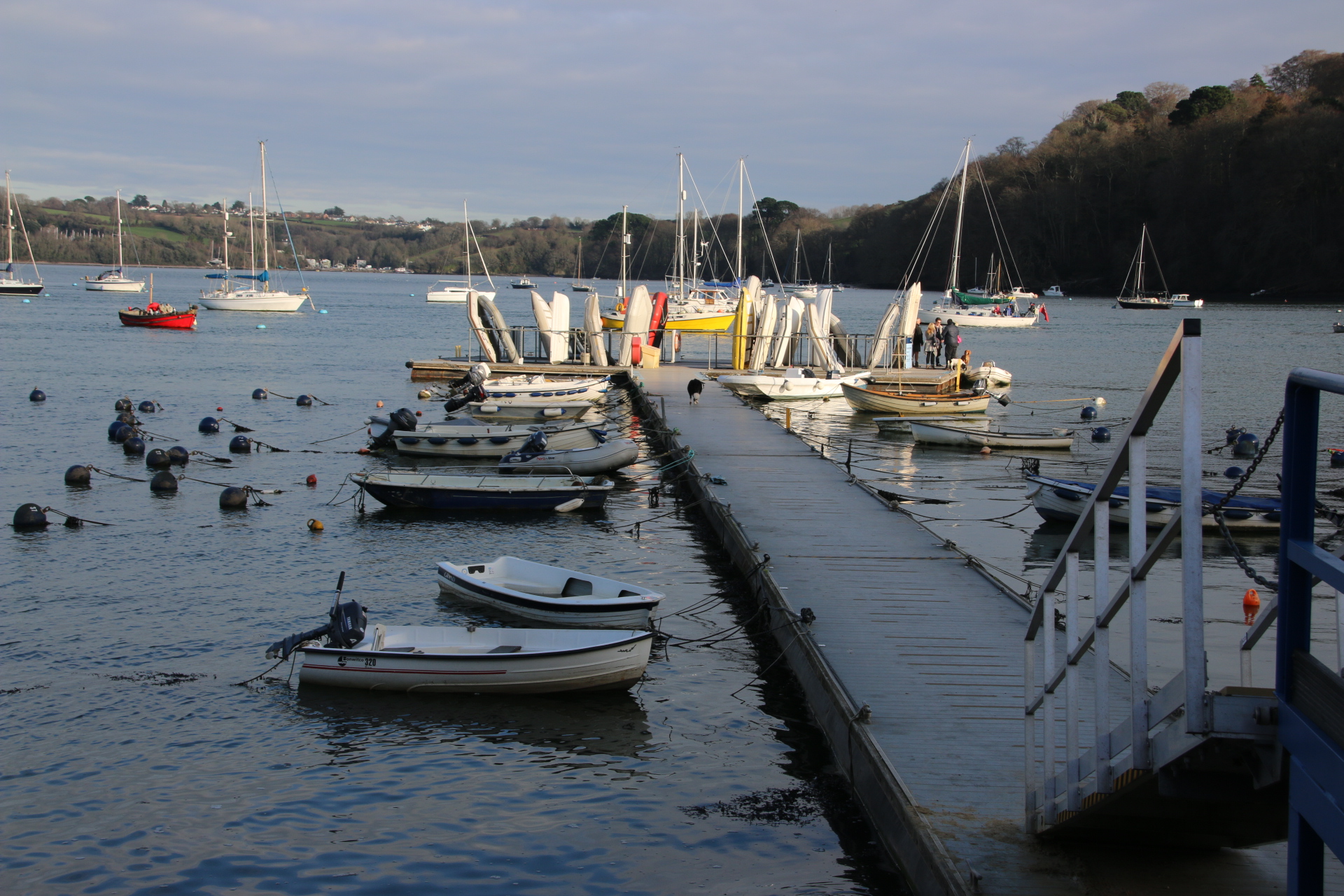
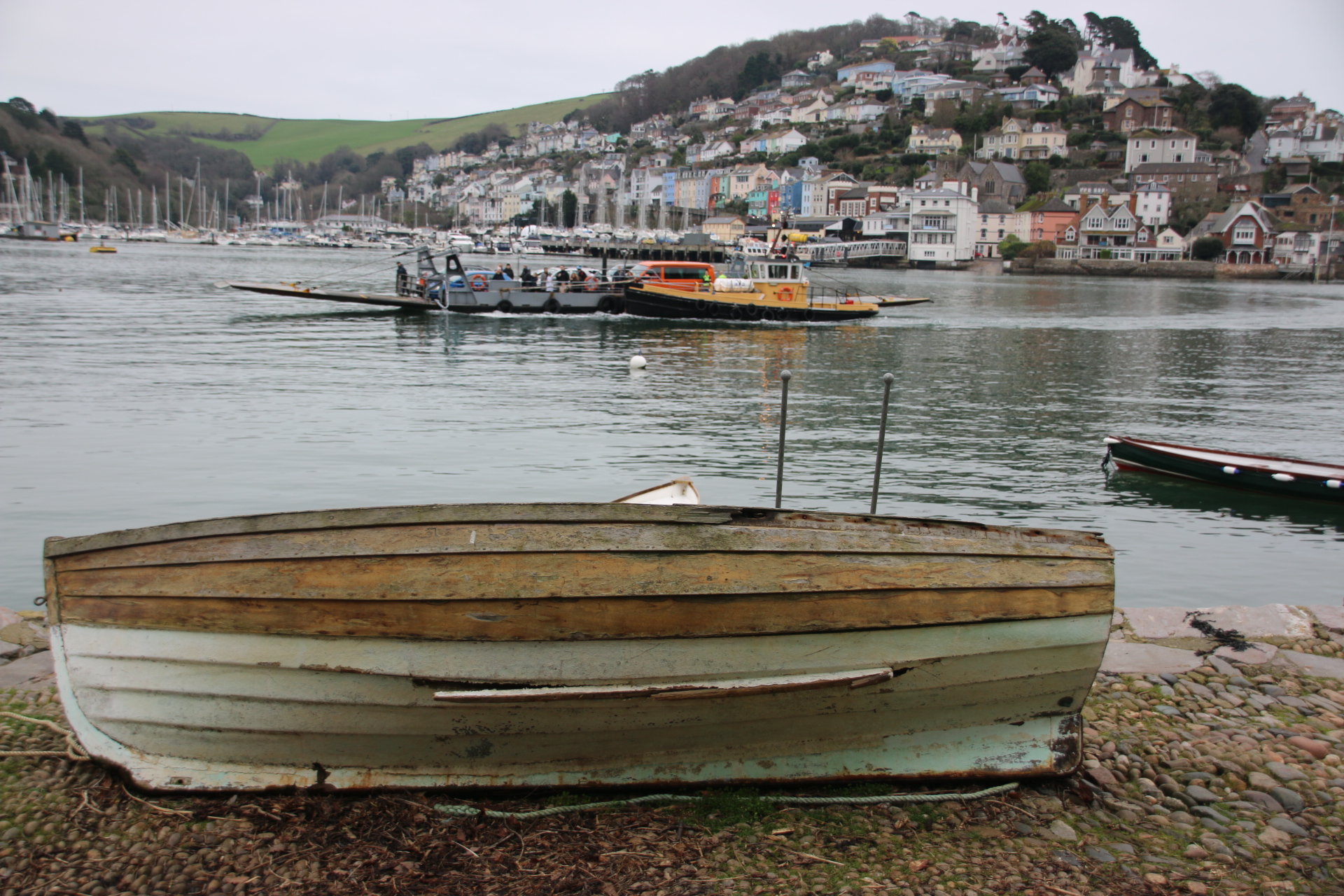
Our destination is Bonifacio, right at the south of the island. Strategically the town was at the crossroads of the early trading routes between Italy and Spain and north Africa. Pisa was the first country to govern here until the end of the 12th century. It’s position bought wealth and revenues to the town through fishing and trade. Initially the port was simply a beach where fishing boats were drawn. After 1900 the marina was build up and the quayside cafes and eateries established, making it a docking place for the yachts and boats of the rich and famous, many dwarfing the dusty, faded buildings.

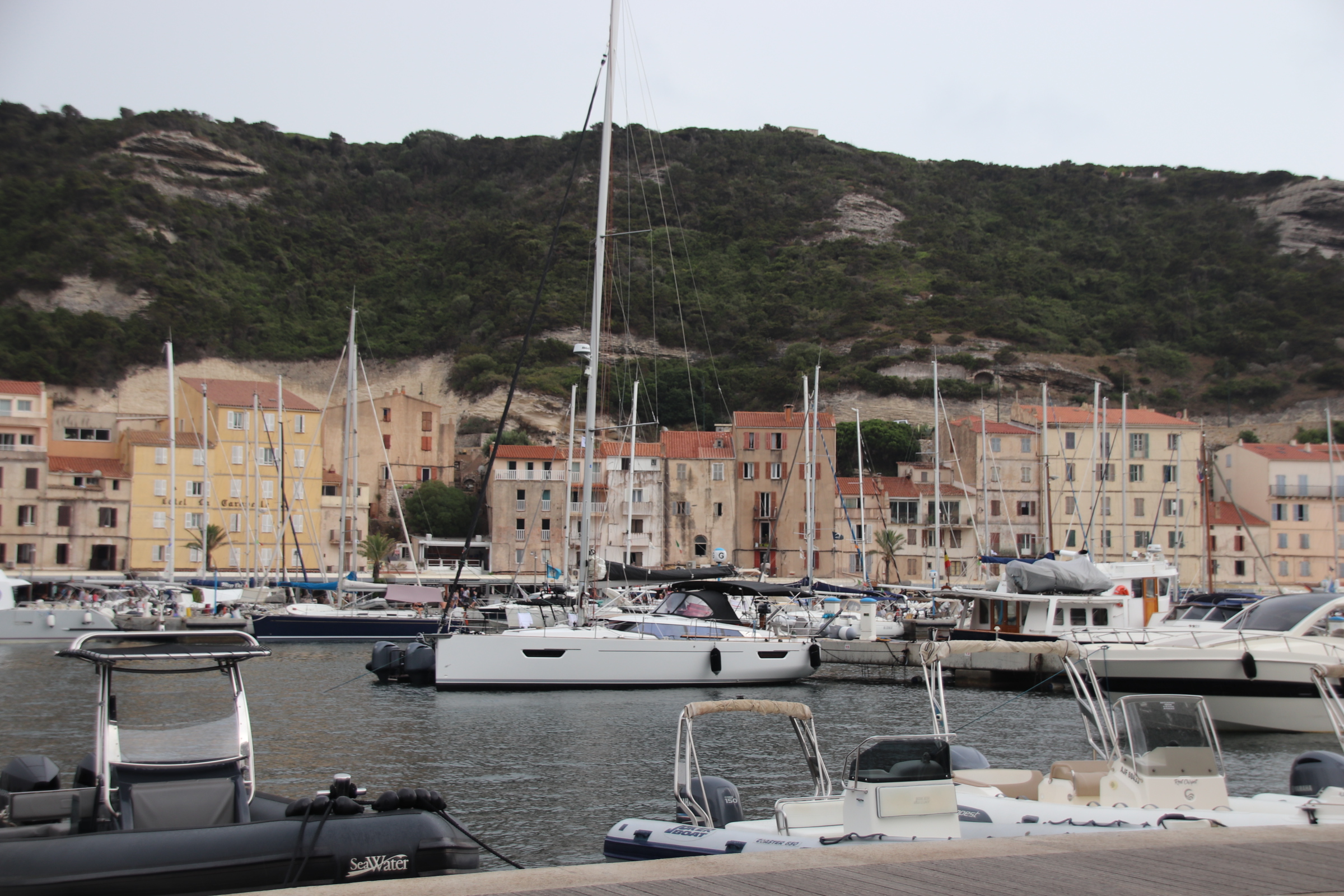
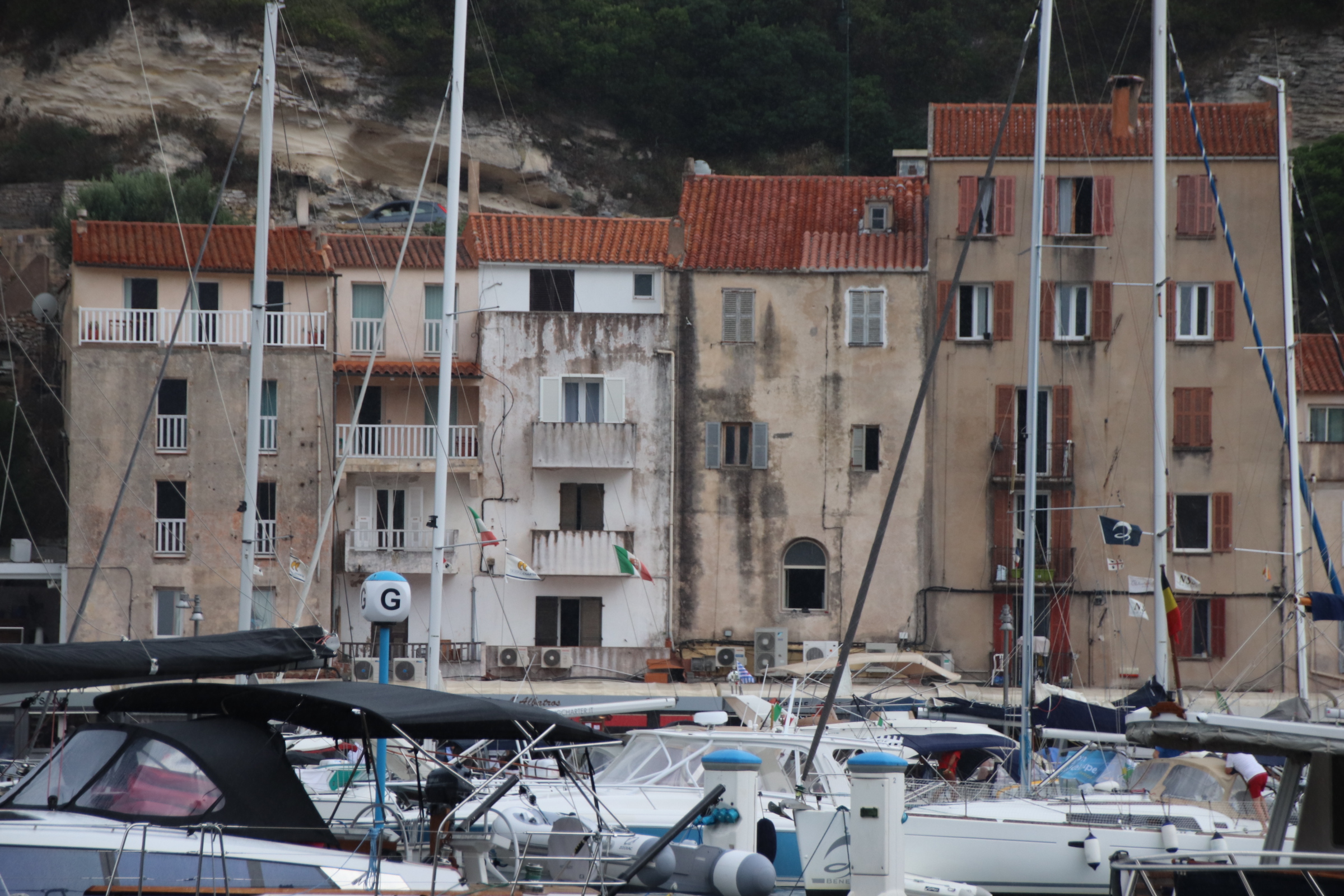
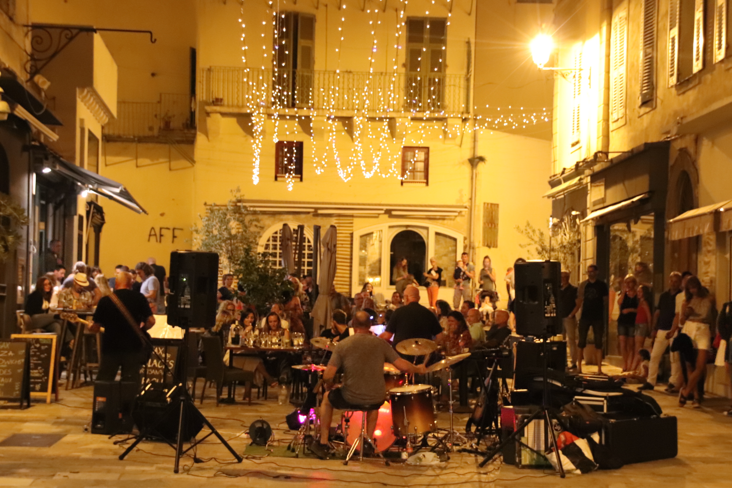
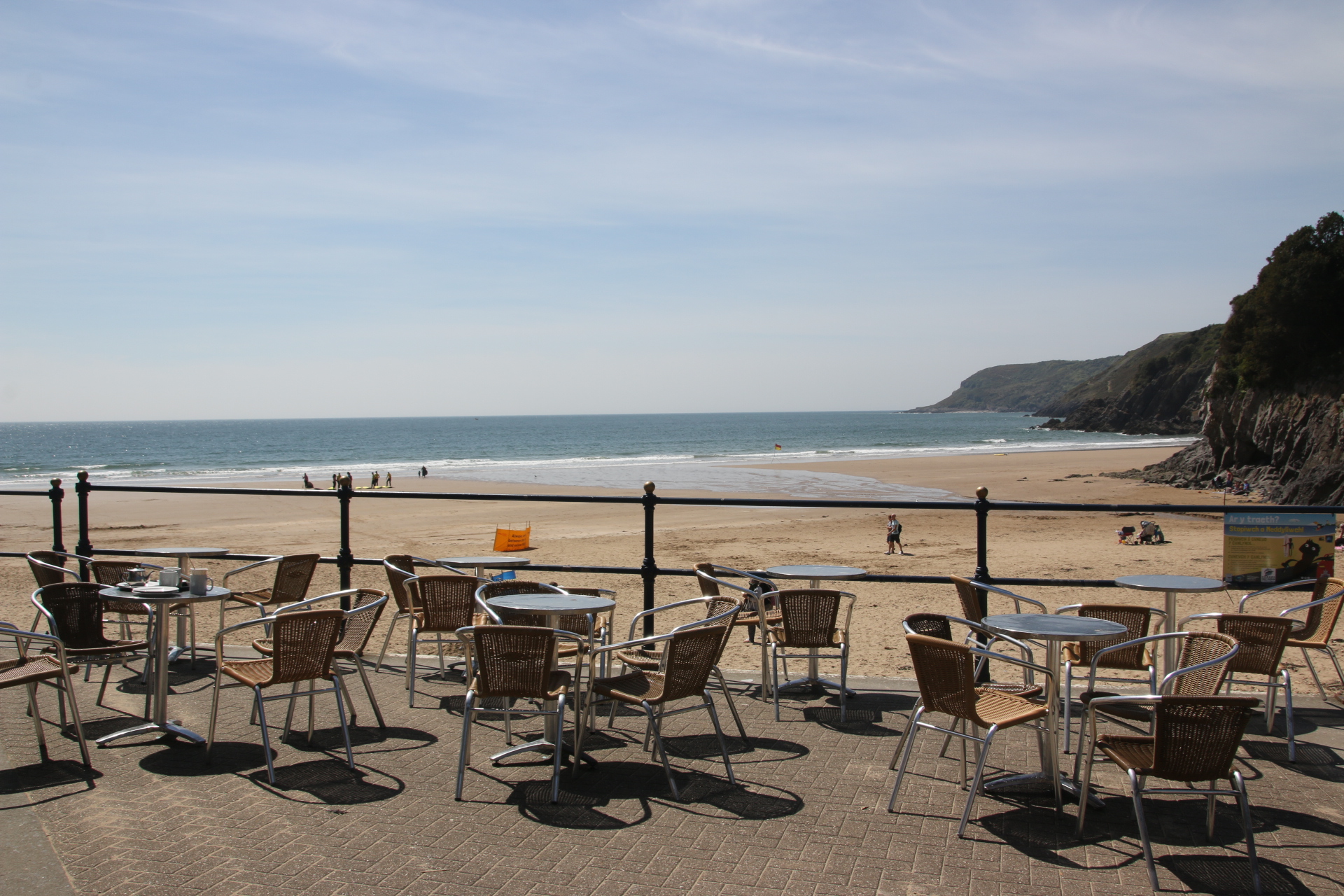
A long terrace of classy table layouts and extortionate menus pull well-heeled owners from their gin palaces to pose for the rest of us as we shuffle along at our visitors’ pace like groups of penguins in awe of another species.


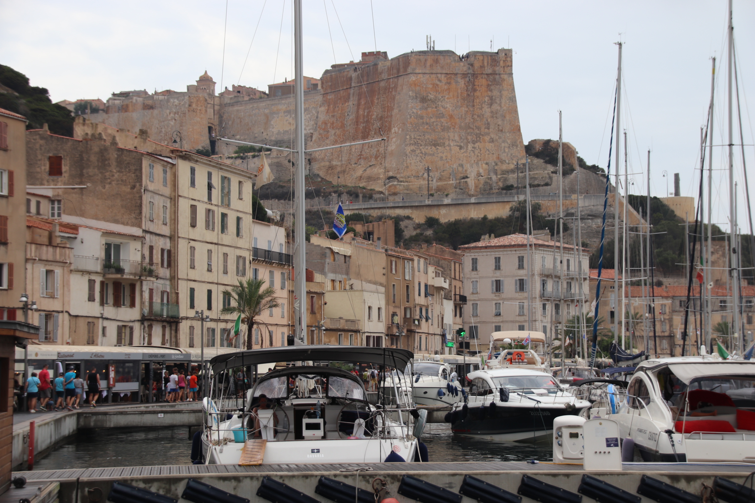
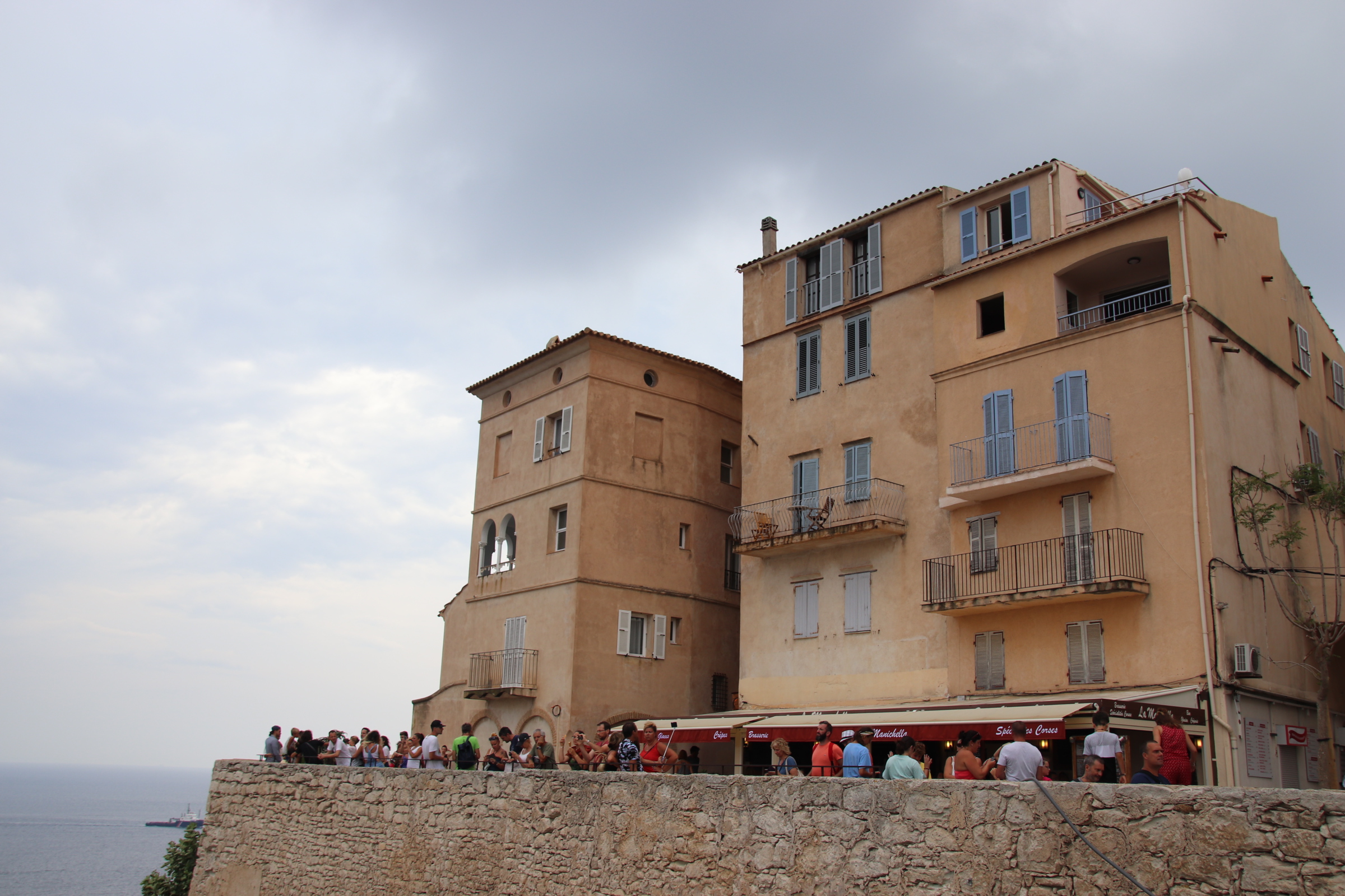
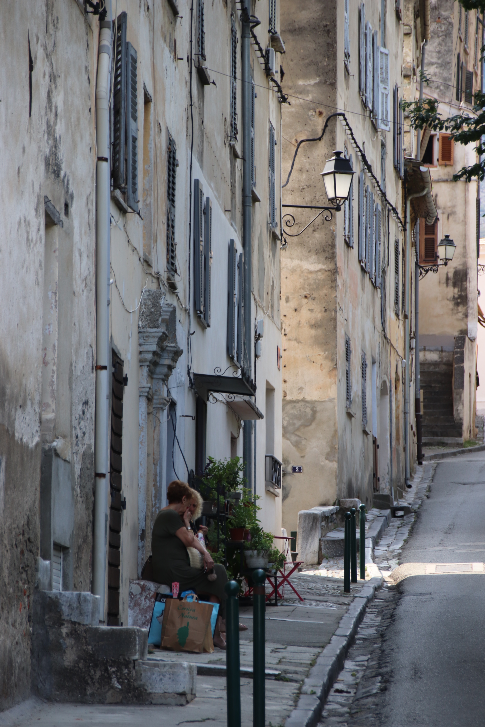
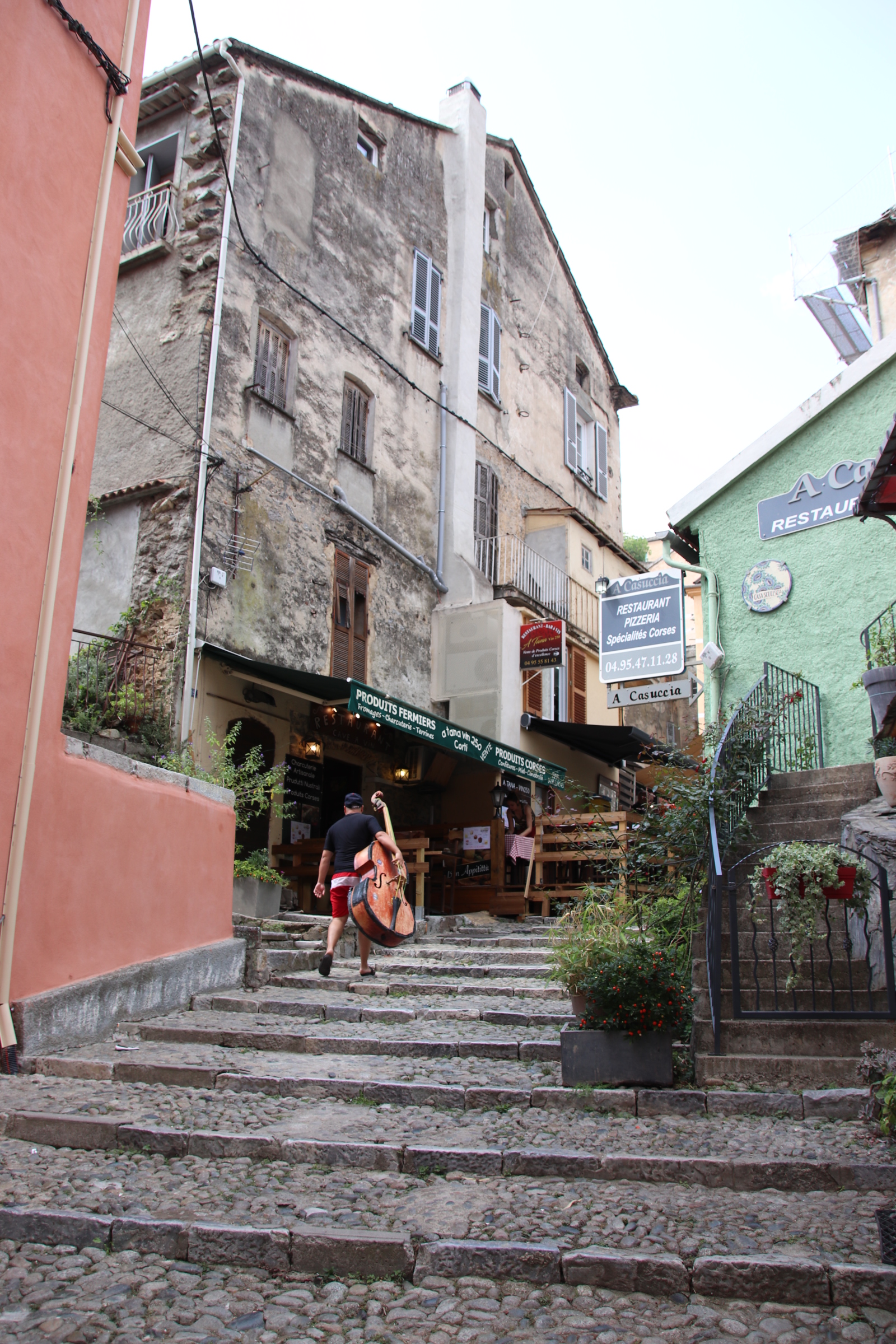
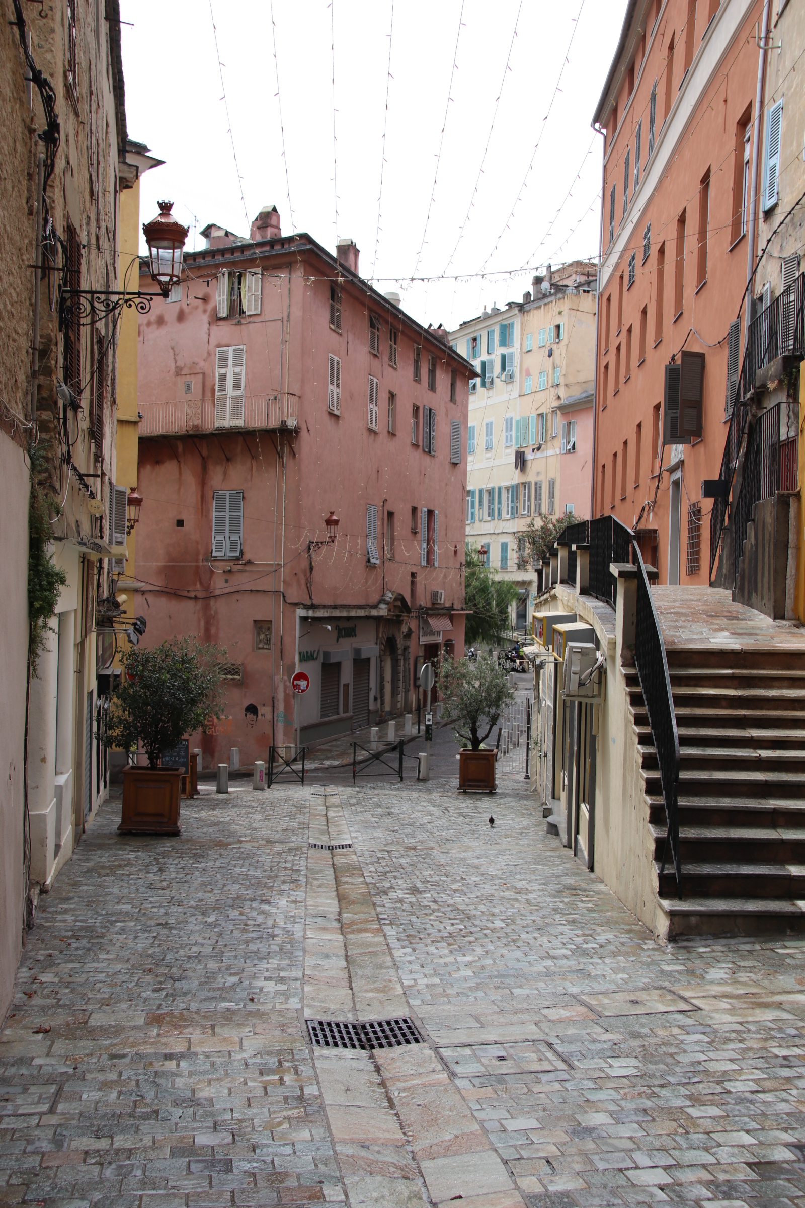
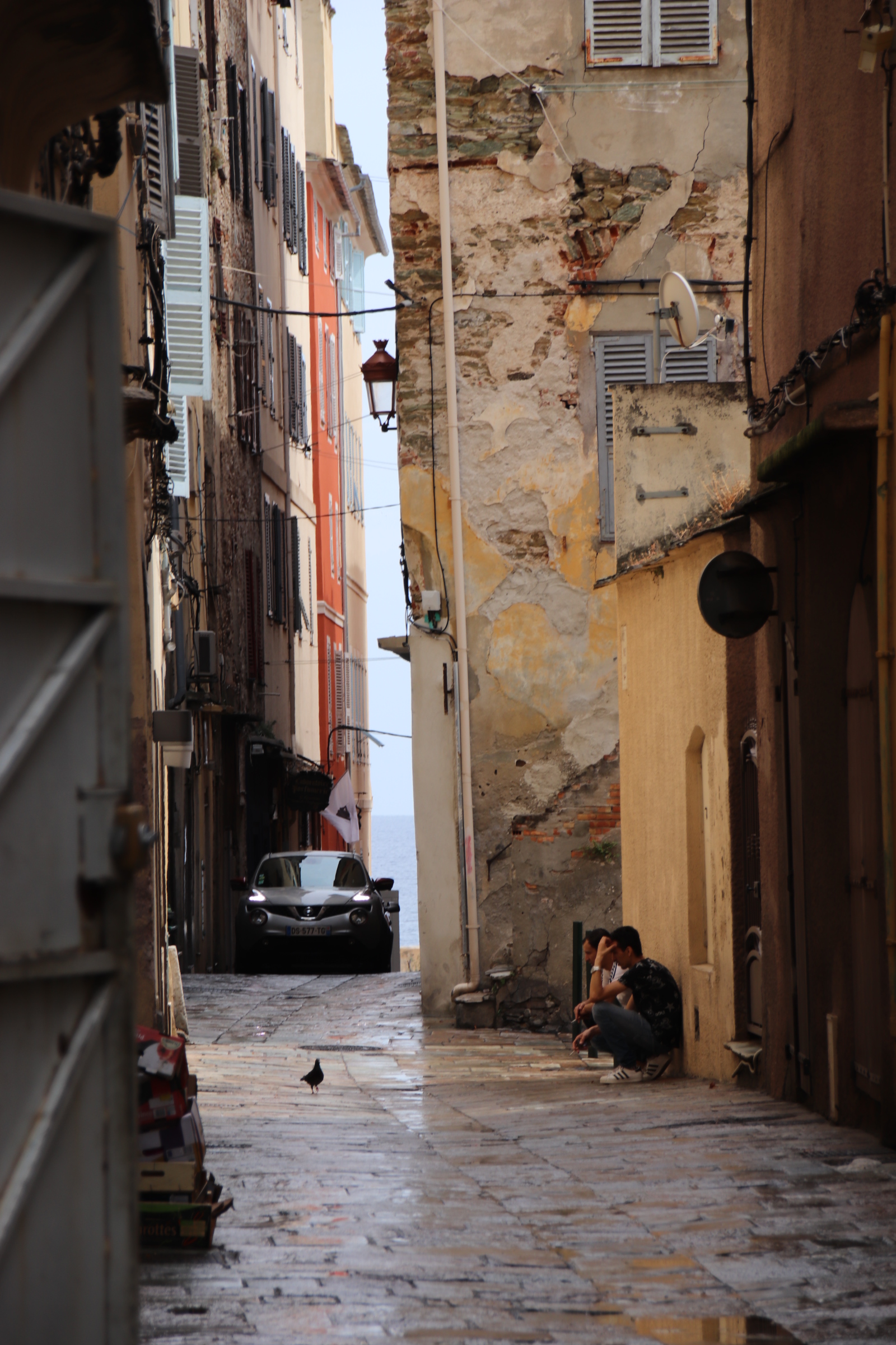
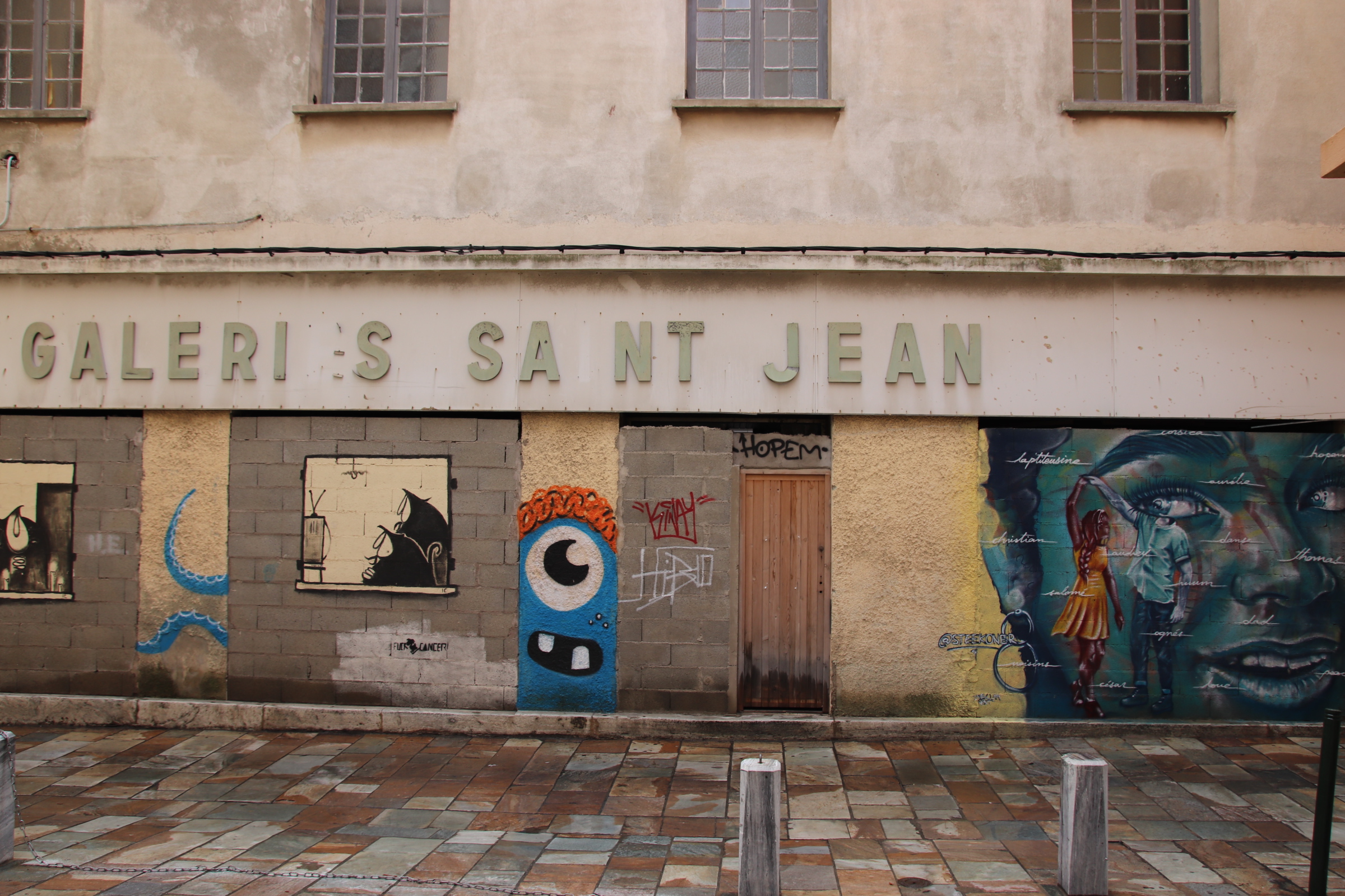
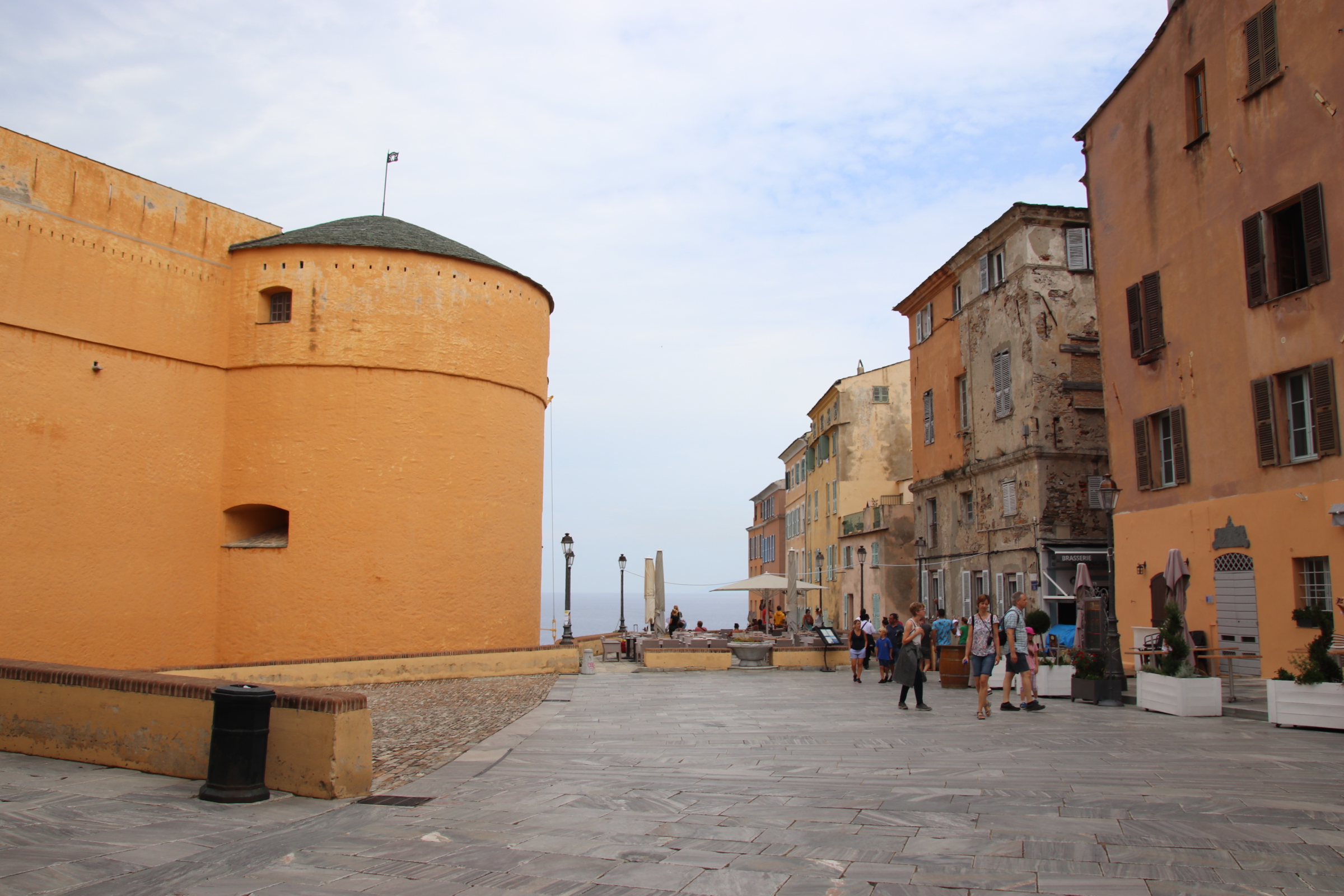
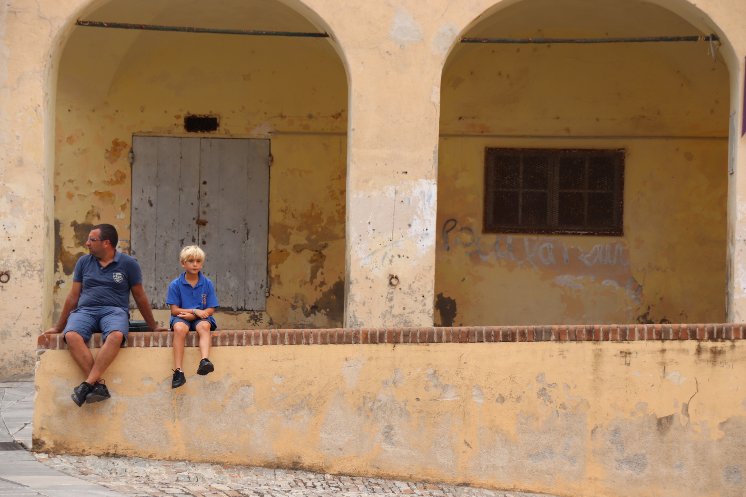
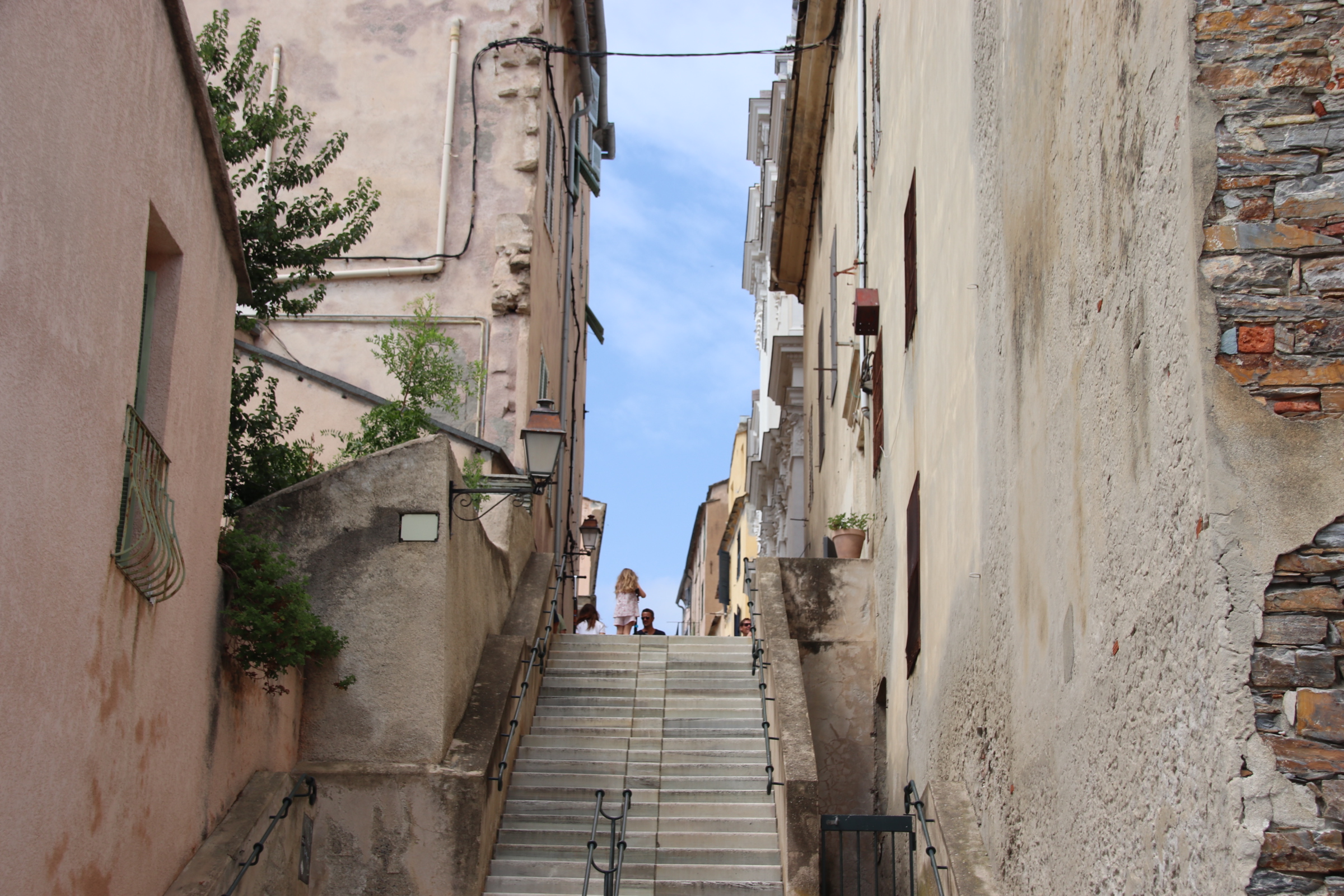
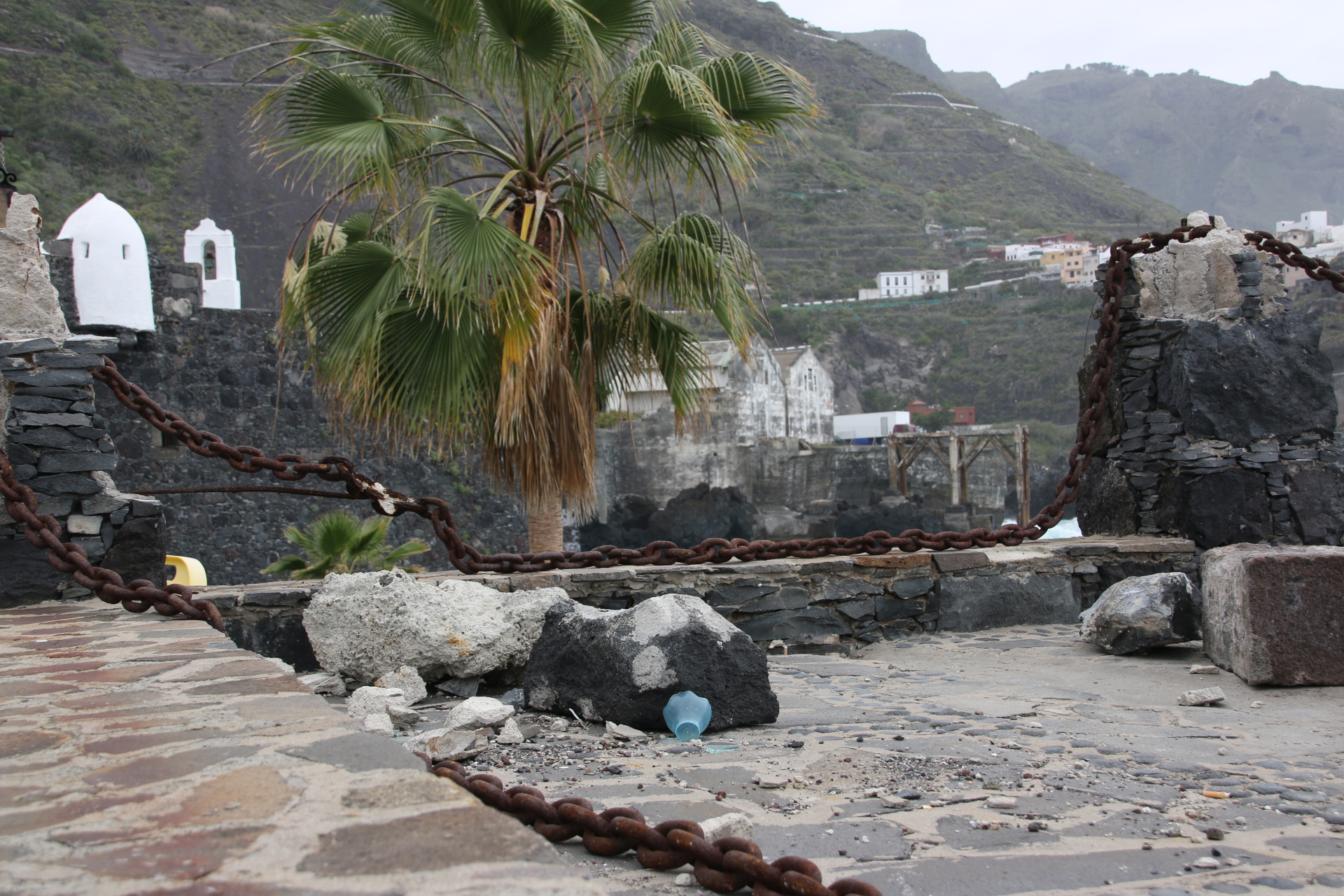
Overlooking the harbour scene from its position on the tall limestone cliffs is the old town, guarded by the massive, medieval citadel, built in the 9th century. It is in its narrow streets that the full force of the tourist can be felt. Trails of cars move into town to squeeze every space from the car parks, releasing families and groups to zig-zag their way up cobbled steps and inclines to the massive gates and shops, built to keep seafaring enemies away and not cash-touting visitors.

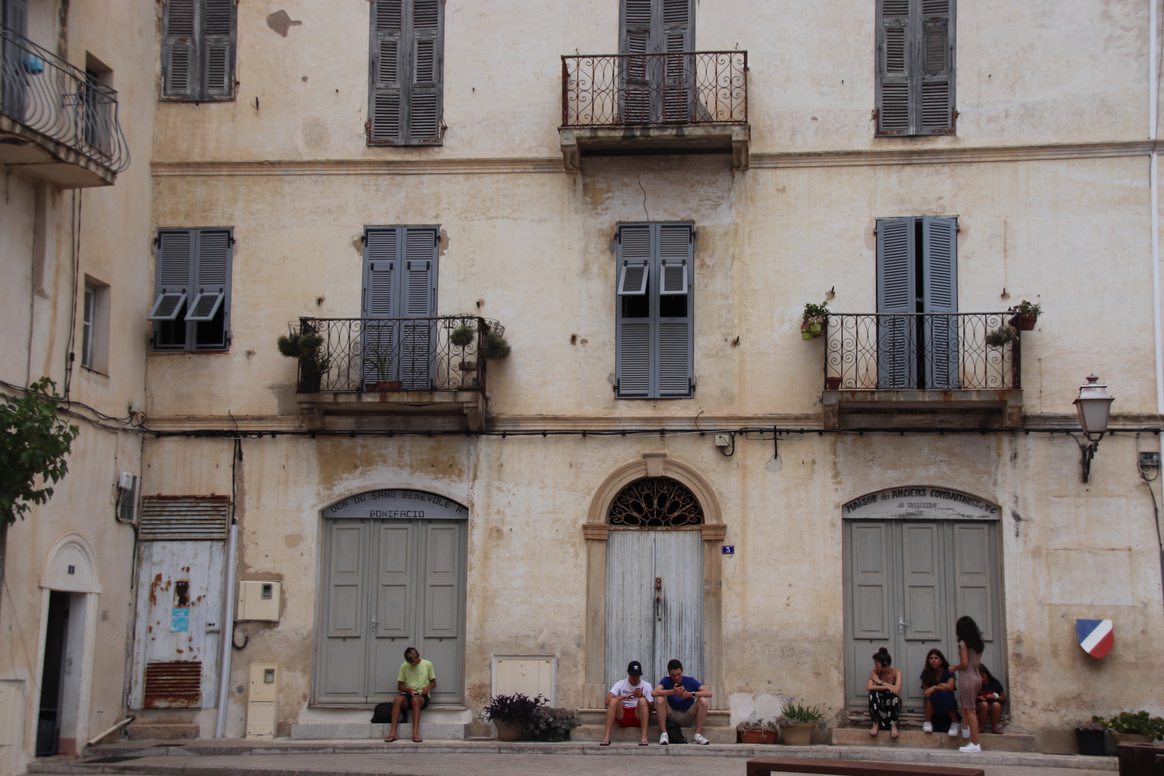
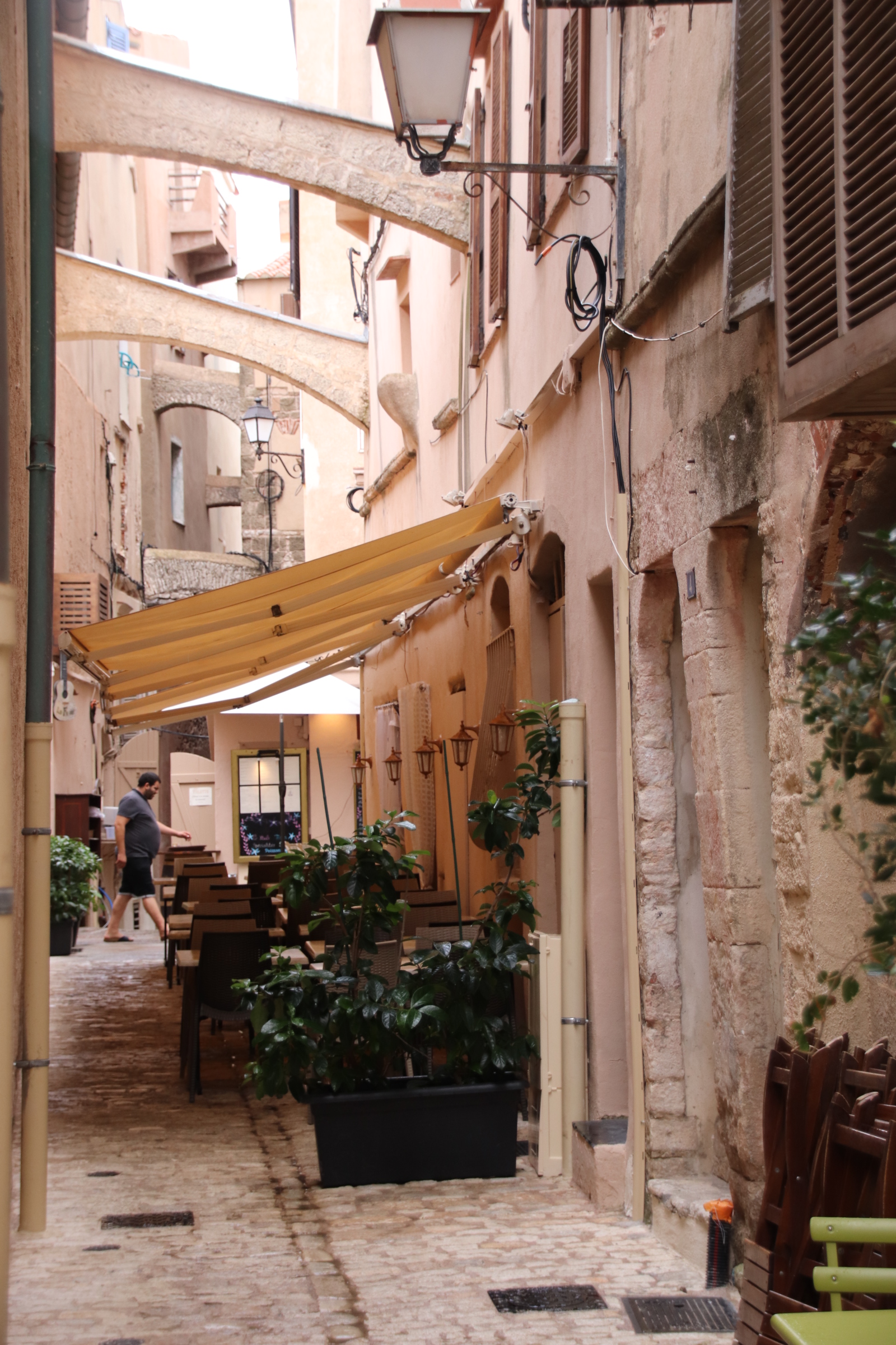
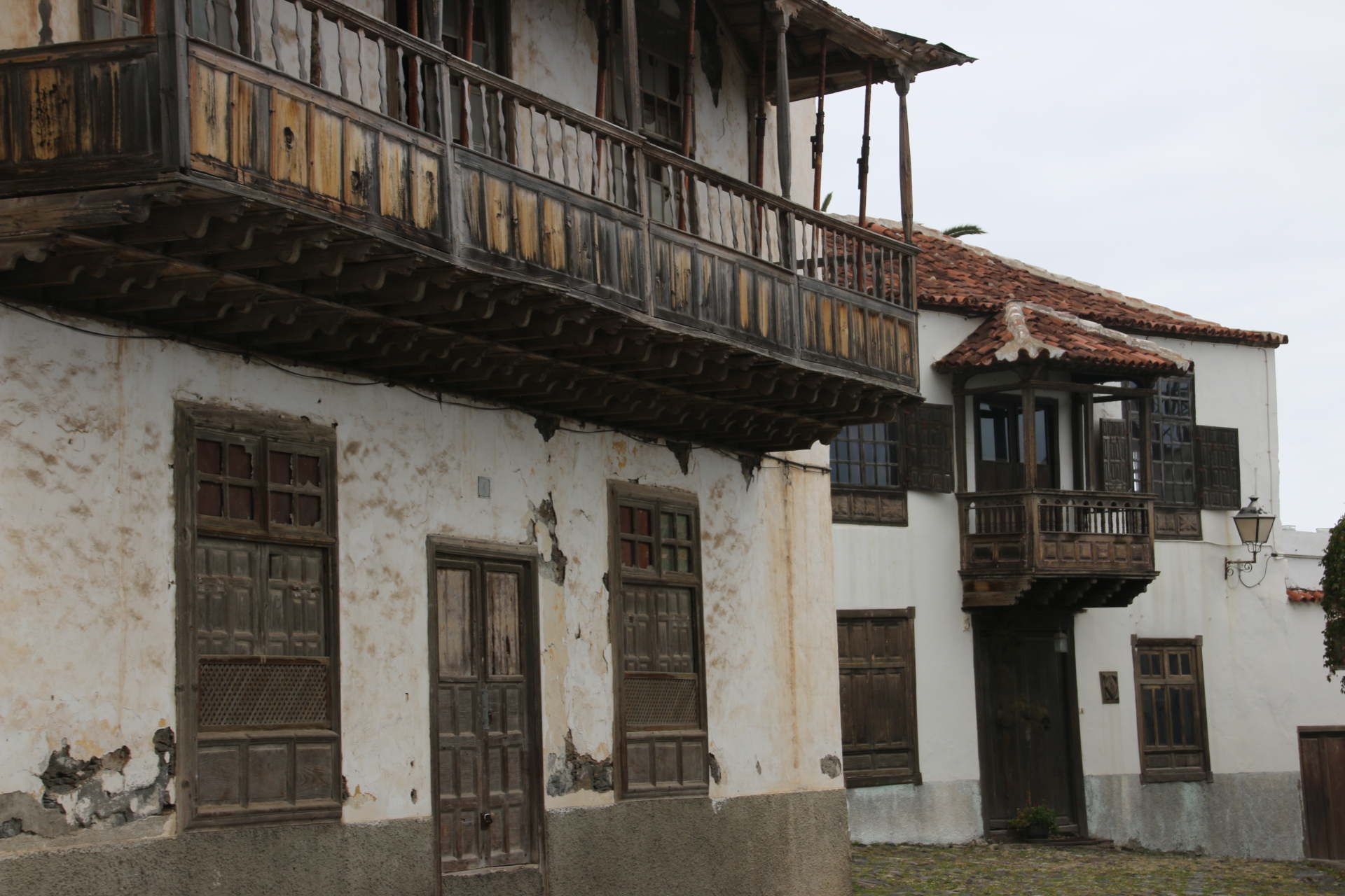
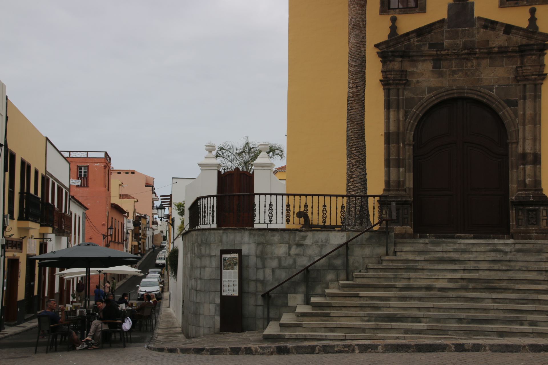
The cobbled streets, particularly around the Church of St Marie Majeure, the oldest building here, are squashed between tall buildings linked by lines of flying buttresses. These are evident throughout the old town and are not required to support the buildings but are gutters which distribute rainwater around the settlement and into water tanks. Substitute pirates and merchants and fishermen and capes and gowns for the skimpy shorts and the strappy tops and the buggies and the carriers and the streets ooze history and times past. Romeo art thou there?

Base camp in Sollacaro

The base for this trip is the small village of Sallacaro on the edge of the mountains on the south west corner of Corsica. The house has amazing views from its terrace. To the left a dart of caramel-coloured houses stands out of the fluffy, scrubby trees that cover the hillside.

The arrow-head points to the coast in the distance straight ahead. A broken mirror of water shines as the sun sets over it in the west. To the right, tree-covered peaks and slopes run down in diagonal lines, heading directly towards the small bays of sand and flat agricultural land that lines each one for a short distance inland.

Sallacaro is a small, friendly village. About 50 houses line the road as it meanders down the hillside. There are two stores, epiceries, two restaurants, two bars, one that serves pizzas, a church and an elementary school with a post office sharing the same building.

The centre is the sharp curve of a band at the far end, marked by the tallest house, all four storeys of it. This is the social centre of the village with all four eating & drinking places next door out opposite each other. There’s no need to go any where out of the village!

From the terrace of the house the weather presents itself. If it’s feeling mischievous then the sun sets, dropping its core gently behind the bumps and lumps of the distant layers, creating a devil’s palette of oranges and reds. Sometimes the weather sends over mackerel clouds to remind us that nothing should be taken for granted. As the day passes and the heat grows these build in intensity and the atmosphere gets heavier. Gradually dark slabs of uniform darkness spreads over from the mountains. Watching clouds build and feeling the atmosphere intensifying sets up the rain dance at different tempos – gentle, short, swathes, deluge, storm, cracking. Wagner comes to mind. One thing is perpetual – it always ends, it moves off, it leaves an empty sky and then builds for another performance a few days/weeks later, also to be witnessed from the same terrace.

Courting Corte, the old capital of Corsica

An evening out in Bastia gives a real flavour of what is to come on Corsica. The island is a fusion of Italian roots, French history, a hard mountainous spine and the coastal romance of the sea. Music, menus, culture, sport, place names reflect both Italy and France.

The town’s petanque competition brings locals out in their droves. Held over several days on the wide open square by the modern port, all ages and genders, from 7 to 70 perform in their teams and leagues to win the top prizes.

From Bastia it is a long drive through forested peaks across the spine of the island to the south west. From the 11th to 13th centuries Corsica was ruled by the Italian city-state of Pisa, superseded in 1284 by Genoa. To prevent seaborne raids, mainly from North Africa, a massive defence system was constructed that included citadels, coastal watchtowers and inland forts.

An hour out is the old capital of Corsica – Corte. In 1755, after 25 years of sporadic warfare against the Genoese, Corsicans declared their independence, led by Pasquale Paoli (1725–1807), under whose rule they established a National Assembly and adopted the most democratic constitution in Europe. They made the inland mountain town of Corte their capital, outlawed blood vendettas, founded schools and established a university. But the island’s independence was short-lived. In 1768 the Genoese ceded Corsica to the French king Louis XV, whose troops crushed Paoli’s army in 1769 and the island has since been part of France except for a period (1794–96) when it was under English domination, and during the German and Italian occupation of 1940–4.

The steep, narrow, frequently cobbled streets and tight squares still remember those days of local patriots and pride in Corsican values.The many statues of Paoli always points the way for each following generation.

Where next – of course it’s Corsica

Hi everyone. Well, you may have wondered where I’ve been. Since last blogging to you I have been on a trip to Barcelona. It was a real adventure. I joined Chloe, Alexa & Toby on the first leg of their railway adventures around Spain. On the first evening I had a run-in with a bag-snatcher. He was not content to simply pick my pocket. No, I stupidly placed temptation right in front of him, or her, and he/she swiped the whole bag, camera and all, from the back of my chair in a restaurant and no-one saw a thing. Hence no photos and no blog.

Three weeks further on I have replaced my kit and I am back on my adventures. You find me in Corsica, that small island off the coast of France which was the birthplace of Napoleon. We fly into Bastia, in the north of the island, and the next day is spent exploring this historic port, through which most of Corsica’s trade and goods arrive on and leave the island. Established by the Genoese in 1487 the narrow, dusty streets ooze history.

There are three main areas to this historic town. The old town around the cathedral & square of St Jean-Baptiste.

The old port.

The citadel.


Anglesey come rain or shine

I crossed over to the island of Anglesey on the Menai Bridge, built to take stagecoaches in 1826 by Telford. Not much has changed, only the vehicles using it.

I decide to go anticlockwise around the coast of the island.The island is a poor neighbour compared with the grandeur of neighbouring Snowdonia but it can piggy back on the peaks in the distance which overlook the Straits, so narrow in parts and include them as part of their own. The landscape is more mellow but striking has a unique feel with low rolling fields and open land playing host to grazing animals.

The weather is breaking. I am aware that rain is forecast later in the day. You’ll see from the images where I have to play hide and seek with the drizzly showers. But not in Beaumaris, my first stop. In the fading sun the magnificence of the scene is amplified. It boasts a pier. However this structure would not push anywhere in the UK Pier of the Year competition. It may be the best, well only, pier in Anglesey. However it could be top in the Best Spot for a Pier league. Look around and see what you think.

Red Dwarf Bay is such a cool name for a settlement. And the Ship Inn makes the most of its position on the edge of the bay.

Moetfre is absolutely charming.

In the past the area around Amlwich was the largest copper mine in the world. Cooper was used to line ship’s bottoms and to mint coins of the realm. The port was a bustling centre where copper was sent off around the world. It still has a certain atmosphere with an outer harbour used by modern fishing vessels and an inner harbour with evidence of its historic past.

Cemaes has a lovely little harbour.

I cross to Holy Island. Holyhead is the largest town on the island and the departure point for ferries to Ireland. It seems like a town that the world has forgotten. Everyone seems to pass through it and be on the way somewhere else. Its streets are full of tired buildings and shops I have never heard of advertising cheap goods from faded window displays. Locals are hanging around nursing cups of tea in cafes with 1950’s decor. I found the harbour as the drizzle hardened. It seemed appropriate somehow.

Here are the last few coastal settlements on the western side of Holy Island and across to Anglesey.


Rhoscolyn

Rhosneigr

Aberffraw is on an estuary but such a lovely spot that I’ve included it…and you can see the dunes that line this part of the beach.

So I have completed my two island tour and arrive at Brittania Bridge, built by Robert Stevenson to carry rail traffic direct from London to Holyhead. In 1972 a fire destroyed much of the structure. On the original piers a new bridge was built with two levels – the railway crosses on the bottom and a new road bridge was built on top.

I have now completed the whole Welsh leg of my project, visiting every sizable settlement with a beach of one kind or other. I’ll see you on the next leg.

The rough and the smooth of the North Wales coast

I have to share these two images from Criccieth. They both capture a moment on the jetty. Last night the local girls & boys came out to play. This morning a lone angler was trying his luck in the dawn peace.

Today was a day with a lot of smooth and a bit of rough thrown in towards the end. I popped into Caernarfon on my way along the north coast of the mainland – well worth a return visit. An historic walled town on the Menai Straits, it overlooks the coast of the island of Anglesey a few hundred metres away. Its narrow streets and many arched gates match the huge defensive tower that faces out to sea.

Now I have a problem. I thought when I discovered Bangor pier that I had found my new, favourite pier. It is really hard to find. Any signs for the pier abandon you in the middle of town with no direction to go in. Sleuthing my way through the towns streets I eventually find the pier at the end of a series of residential streets. Coming around a corner it takes your breathe away with its elegant turrets and weathered boardwalk. It is 1/3 mile long, almost touching Anglesey. At low tide the whole Strait is dry with only a narrow channel of water at the far end to allow sea—going vessels through.

‘So what’s the problem?’ you ask. Well Llandudno is the problem. What a gem of a place this is and what a magnificently glorious pier struts its stuff out into the line between the blues of sea and sky.

Both are magnificent. I thought that when I found Colwyn Bay Pier that there would be a third competing for the accolade of THE pier of North Wales. Well no. I drove along and around the promenade at least three times until I spotted something:

I stopped and asked two local guys who confirmed that I had guessed right. This was all that remains of the famous pier. Last year, 2018, it collapsed after years of neglect and the council had to remove all the wreckage except for this monument to past glories.

I stopped at other places on my way around the coast – Deganwy, Rhos-on-Sea where the clouds gathered to keep me on my toes

Rhyl had some photo opportunities. It is amazing how a low tide transforms all these places. A high tide and you think ‘oh, there’s a few nice buildings’. A low tide adds colour and atmosphere and scale and turns it into a completely different place. Look at these two images. The boys, especially, are so absorbed in messing around in the sand & water.

Prestatyn

So now to the bit of rough. It’s not rough if you like static caravans. Towyn is my idea of caravan hell. I’m going to design a computer game entitled ‘Escape To wyn’ (clever title, eh?). I have to explain that along here the coast is hogged by the inhabitants of Towyn. Towyn consists of acre upon acre upon acre of blocks of static caravans. A maze of grid-ironed routes tangle themselves around these between high pre-cast concrete walls only disrupted by the occasional entrance to a ‘park’ or a ‘camp’ or by an arcade of arcades or a speakered line of ‘factory shops’.

I eventually emerge unscathed and risk a cuppa tea at the bijou seafront refreshment stall on the edge of this nightmare.

The day ends on a high though. The last place on this part of the coast before you each England, is called Talacre. It doesn’t look much on the map – a load of camping and caravanning symbols and, yes, you have to go through both. Make the effort. Take the walk from the pub, through the car park, across the rough ground and through the gap in the dunes. There is hardly anyone there but these images show why this is one of my favourite beaches.

Awe and Wonder on the Snowdonia coast

Although this project is about coastal settlements, the great thing is that I have to drive through some wonderful country to reach each one. And today was the best. Further up the coast from Aberyswyth is Barmouth. I head there through the wonders of Snowdonia National Park. Roof down, sun up high, music on…..hair flowing (maybe not!). Forests, woods, farmland, streams, rivers, bridges, moor, marshland, lakes, hills, distant mountains. Then to arrive at wonderful beaches backed by dunes. What else can this man ask for?

Barmouth sounds quite ordinary. I think it mostly is. The west coast main line crosses the river on a wonderful Victorian gantry of a bridge.

Here I came across the harbour in the early morning. Not a lot is going on. There is no evidence of the passenger ferry over the estuary to Fairbourne – surely we are in high season. It is July. The main beach of soft sand and low dunes and the car park and small fun fair is on the other side of town.

Along the coast there a numerous small settlements, identified from a distance by a church tower/spire, usually surrounded by bungalows and static caravans. Spaced out between them are clusters upon clusters of holiday caravan parks. Were do all these holidaymakers come from? And where do they spend their time?

The next large settlement is Harlech with its huge castle ruins looking out over the coast, keeping am English eye over its Welsh inhabitants. Funny how they both play cricket in the same test team now. This was going to be my favourite beach, long, soft-sanded dunes, almost empty; but I doubt on to see so many similar ones that it is impossible to pick one above another.

Porthmadoc is a terminus for the Ffestiniog (don’t know the spelling) Railway and the station/bridge acts as a barrier to the sea. Grim one side you can see sea in the far distance. From the other you can look up the valley and get a view to die for. People would travel 1000s of miles to get a view like that.

I’m going around the peninsula now. I will show you each largish village in turn, not, I hasten to add, the campsites or static caravan parks. First Criccieth

Pwllhewi

Llanbedrog

Abersoch, which I quite liked – a bustling, popular holiday village with bars & a bit of shopping

Aberdaron


And the best – Morfa Nefyn

Aberystwyth and beyond

This first day of the next leg of my coastal journey is full of sunshine and reaffirms for me that the UK is full of wonderful, magnificent, beautiful places. Today was full of them. I am in mid, moving into north, Wales. How about this for my first glimpse of these powerful headlands and those gloriously soft, sandy beaches, at least when the tide is out, in crescent shaped bays.

First stop Aberystwyth. Like many of these resort towns it mixes Victorian charm with some history, in this case castle ruins, and adds Kiss Me Quick hats & buckets & spades and loads of fish & chips. The pier is rather good; not long but nicely regal even if it is full of slot machines. In the background you might spy the vertical line of the track of the cliff railway. There are two beaches, separated by a headland where the castle ruins anchor the short pier to the land.

The evening light of dusk and the incoming tide give the same view a completely different feel. I prefer it.

Borth Sands stretches out in a wonderful coastal crescent. The low tide exposes the soft sand as the village hides behind the sea defences, spewing out beach-happy families to spend the day in the sun, layered in lotion, I hope.

From the desert dunes at the far end of the peninsula, across the slow-moving river, the village of Aberdyfi can be seen glistening in the sun.

It lives up to its potential when one takes the drive up one side of the estuary and down the other to explore Aberdyfi in more depth.

All in all, a great day and not a single disappointment. Good place for a holiday around here – family, beach, soft sand, hikers, hills, even a mountain close-by!

The Sunny Side of Oxford – the Cowley Road Carnival

IMG_2080a

I rarely write about my home town but I thought that should end, especially when I have the wondrous Cowley Road Carnival on my doorstep. It seems this is the second largest street carnival after Notting Hill in the UK. So let’s take the day as it unfolds.

The street is shut to traffic first thing in the morning and local and visiting organisations set up their stalls and start to assemble. The Cowley Road area is home to a diverse, eclectic mix of families from all over the world. A harmonious community most of the time, families live and work and play alongside each other in schools, restaurants and places of worship. The Carnival happens every year in July and is a celebration of diversity and culture.

Local restaurants and visiting vendors set up their stalls, selling street food to the 30,000 who will join us for the day. Places in the parade are proudly taken by community and cultural groups and from mid morning they begin to assemble at their allocated postion. As well as folk in traditional costumes with a host of unfamiliar instruments, generations of family members lean against walls to give their support to their musicians and dancers. The Nepalese community are no exception.

IMG_2055aIMG_2044aIMG_2042aIMG_2041a

The grills get hot and start to sizzle their barbed aromas across the road. Food from everywhere you can imagine.IMG_2058a

The beat increases with huge sound systems winding up their sounds outside bars, pubs and restaurants. The atmosphere is good-natured. Crowds start to gather on each side of the road and local bands and groups as well as excited visitees start to limber up and tune in their drums and tambors and trumpets, waiting to move off.

IMG_2073a

IMG_2034a

And then the parade begins its tortuous, tip toe shuffle up the road in a clangour and a clammer of bangs and clashes and sambas and salsas. Schools follow community groups who follow samba bands from home and abroad who follow street bands and local artists and businesses. Smiles on everyone’s faces.

IMG_2084aIMG_2091aIMG_2106IMG_2140aIMG_2151a

The end is reached 500 metres or so further on – St Mary & St John’s Churchyard. Here the participants collapse in the shade. Frequently groups join together in a jam sessions that brings together a new fusion of culture and sound.

IMG_2202aIMG_2201aIMG_2175aIMG_2176aIMG_2199aIMG_2200aIMG_2195a

Back on the street food is consumed and crowds wander. Folk find places to chill – on a wall, in front of a stage and absorb the practised performances of dance and music or appreciate the impromptu expression of feeling and creativity.

IMG_2216aIMG_2219aIMG_2220aIMG_2223a

Most things come to a halt at 6.00pm. People accept it, however reluctantly. The street cleaning vehicles start their work very punctually, sweeping through the still packed streets. Everyone knows that if there’s no fuss it will be the same next year.

A homage to Lynmouth

I forget how divine this length of coast is. I spent the night at Minehead and drive to Porlock Weir, a delight in its own right.

I then drove up the hill out of the village and out onto the wide open spaces of Exmoor – a real ‘awe & wonder’ moment, a cry out loud celebration of all that is good about this world and about life – the sea on one side with lines of white horses snuffling the bays and headlands , the stretching moorland cut by deep valleys on the other. Free air above in a cloudless sky and the open road ahead with the roof down. If only I had hair to blow free in the breeze. I stop to overlook Lynmouth before driving down into the village.

1952. The year the rains came, the East and West Lyn rivers roared off the moors bringing boulders & earth & trees and taking cars & vans & sheds on a dreadful journey of devastation through the village. 34 people died in the resulting chaos.

I forget how charming the village now is, both up the two rivers to the moors and downstream to the sea. It’s Victorian splendour has been recaptured from its wrought iron balconies to the Rhenish Tower.

The waterpowered Cliff Railway toils up & down, filling its top water tanks after each journey linking Lynmouth with its high neighbour on the cliffs


I have to leave you with two bathing places on the Kennet & Avon Canal which I included on my way home. The first is on the River Avon, not the canal itself, at Bathampton, by the tall bridge.

The other is at Clavendon Pumping Station. To get to it you have to walk down a narrow track, over the canal bridge, over the pedestrian gate across the main line to Bath and into the meadows where the Avon smoothes over a weir. Both places are glorious in weather like this, even if the locals have claimed them already. There is space for all.

From Watchet to Porlock Weir

Two days of hot, sunny weather is forecasted so the routine goes out the window and out comes the camera. I have two legs I want to complete – past of the coast in Somerset/Devon and a small section of the Kennet & Avon Canal. They are in the same direction so I decide to do the former first and complete most of it today leaving the other for the way home.

So I head for Steart on a peninsula, west of Barnstable, sticking out into the Bristol Channel. There’s not a lot here.

It’s not called Steart Marshes for nothing even if some small settlements hug any firm land they can find. Sheep and cattle graze the lush grasses, rushes line the vast expanse of clinging mud and large pebbles form an impossibly hard beach to manoeuvre. Hartland Point Power Station is the main, man-made feature on this part of the coast.

The first real settlement is Watchet. A delightful harbour town which is also on the West Somerset Railway line. You can almost feel the history ooze its way out of the Flag stones around the harbour.


Blue Anchor is a long, wide strip of pebbles backed by a road, backed by a line of static caravans. Each end is stapled to the ground by a group of more permanent detached houses.

Dunster Beach is the coast side of Dunster Castle and of Dunster medieval village. There is a refreshment van and then a wide strip of parked cars and vans with their owners sitting out on camping chairs devouring the Sun or the Mail. The other end consists of a never-ending crescent of large, almost bungalow-sized beach huts which line the heart of the bay.

Minehead had its glory days in Victorian times when it’s rather remote location only allowed the wealthy to make the journey to its glam hotels and bathing huts. When the railway arrived the hoy poloy were able to holiday here. This was exaggerated further when Butlins established a holiday camp here in the 50s, which now has an almost permanent presence in the town, swamping any history the harbour might try to show off.

Porlock Weir is delightful. A fishing and trading centre for the Porlock Estate, the harbour still provides shelter for private boats while the bars and hotels refresh the crews and the more up-market souvenir shops like Exeter Glass satisfy the shopping visitors.

3 days and 3 nights in Chicago

You’ve not heard from me for a while. In fact I’m back. I simply had no time to write my blog while in Chicago. I was so busy exploring a whole new side to this city. So, I’ll put a jumble of images together for you to try to encapsulate what a fantastic place this is – in terms of music, food, experiences & history:

An evening at the home of Blues – Kingston Mines. Every night, 365 days of the year, two bands alternate on two stages, each for three sets of 40 minutes.

A visit to Garfield Conservatory. It’s free.

I’m told the weather gets warm/hot. Go to the beach. Lifeguards are included if you fancy a dip.

Exploring, on foot, Downtown and images around the famous elevated ‘L’ (elevated!!) Loop.

Exploring the local neighbourhood at night after a wonderful meal in Chicago’s own Beatnick Restaurant

How about these two? The second one is a diner.

If you do come to Chicago you must do the Segway Tour. Not only do you visit tourist hotspots like Soldier Field Football Stadium, Shedd Aquarium, the Field Museum, but you duo it on a Segway which is so much fun. I have to say taking a photograph on the phone with one hand, whilst balancing the machine at their same time,is a real feat.


Another high spot, in two meanings of the word, is brunch on the 95th floor of the Hancock Tower. Not only a fantastic meal but a fantastic view up the lake.

And that’s not to mention the Supermarket Wine & Food Tasting, the Puerto Rican meal, the numerous bars, the creamed corn to go with the pork ribs, the Blind Barber in the old Meatpackers’ District (you walk through an actual barber shop, through a narrow door and into a bar, a very trendy bar at the back; you can get an actual hair cut too!!) and the subterranean lands under the river bridges.

Navy Pier in the fog

Chicago really does live up to its name of the Windy City. The weather is so changeable. It can be a warm 26°C (although the Americans use Fahrenheit just to confuse us Europeans even more) one minute and a chilly 7°C the next. The branches of the trees are a good indicator. When they sway, more than likely the wind will be coming from the north, from over the lake, bringing the weather in with it, dropping the temperature and snuggling in fog, cloud, rain and worse. Quite literally it is possible to have all four seasons in one day, even in one hour, at this time of year.

For once the weather behaved itself today although Windy still managed to dominate proceedings. We headed for Navy Pier. Despite a sunny, warm morning at home, as we approached lakeside the fog descended, hugging us down with a white-grey blanket of cold air. Only the bottom 3/4 floors of the surrounding buildings could be seen.

The Navy Pier was built before the Great War to handle cattle shipments and the flow of immigrants that came to the Promised Land. Now it is a playground for tourists. Sightseeing cruises leave from here. There are bars and cafes and a theatre and a fairground. Not to be outdone by Monsieur Eiffel in Paris, a Mr Ferris built the first ever Ferris Wheel close by for Chicago’s 1893 World Fair.

When we arrived the fog hid the other side of the harbour. We were there for an hour long Architectural Tour of the lake side on the Windy, a traditionally-rigged, sailing tall ship. We walked down the line of vessels – brash but rather sorry-looking cruise ships with 3/4 decks, water taxis, fluorescent Seadog 50-seater speed boats….and there’s our elegant, classy, sophisticated three masted schooner. We are assured that we’ll sail so we retire for a coffee and watch the fog rise to release us from its clutches, warming up the day as it does so.

As we cast off the whole of Navy Pier is revealed although tongues of fog still lick across the bottom floors of the high-risers.

We gently move out into the harbour on the engine. The boat comes to a gentle station in the middle of the harbour. The crew, dressed as pirates of the day which slightly brings down the tone of the voyage, then proceeded to instruct us in the raising of the sails, which, I have to say was very hard work….and a bit futile….there was no wind, none, not even a huff. So from our silent, peaceful spot we watched the fog rise and fall creating some wonderful images of the shoreline.

From out here the lighthouse guarding the entry to the harbour can be clearly seen with the marker on the other side. With the lights now being automatic, the building lies empty, no longer the home of the Guardian of the Light.

Out in the distance lies the entry to the water supply for the whole of the city.

After a while sitting out here in the gently lapping peace, a return to the quayside is ordered by our captain. By this time the sun has almost fully burned off the remaining fog and the full shoreline and the fairground can be clearly seen as we head for home.

The afternoon is spent sitting in the sun, watching the vessels mess about with each other, cross-crossing the harbour.

The Chicago Fire Department Fire Boat was the highlight as it showed of its full array of powerful water cannon….effective in putting out fires or dealing with rioters and lesser vessels. Big show off.


So much to do, so much to see in Chicago

Sunday is spent back at the Taste of Randolph Music Festival – more beer, more bands, more Country, more burgers.

Two stages & a Dance set up.

At least 10 bands on each stage with five on Friday. Not bad – 30 bands for $10.

Monday is spent visiting & revisiting new and old hot spots. Firstly, a walk around the Bean in Millenium Park.

Watch the crowds around Crown Fountain.

A Chicago Dog for lunch and a game of table shuffle-board in the Athletics Club

before visiting the Japan Festival in the Cultural Centre.

Pop into Macey’s to see the Tiffany ceiling.

In the underpass on the walk along the river to the lake, study the tiled mosaics that tell the story of Chicago. The two panels below describe how the city decided, in 1848 to turn the flow of the river away from the lake to create the Chicago Sanitary & Ship Canal. Previously, the river had been used to clean out the cattle yards where hundreds of thousands of cattle were housed and then slaughtered.  The city’s human waste and sewage also emptied into it and so flowed into the lake from which the inhabitants drew their drinking water, becoming rather ill in the process. By taking advantage of the lake being at a higher level than the river, a wider canal was dug to a lower level which created an increased flow thus changing its direction.

Take a water taxi through the centre of town up the Chicago River to China Town.

Then head out to a local bar for eats and beers to end the day, a very busy day.

Neighbourhood festivals of live music

There is so much live music in this city and music of every genre to meet everyone’s taste. We take full advantage of it. Last night was an evening in Ravinia Park to hear the legendary Buddy Guy, the King of the Blues. His voice and the handling of that guitar is still out of this world. Thousands eat their fancy picnics and then sit around and listen out on the grass, even in the pouring rain as the main man does his stuff under cover in the open-sided auditorium.

In the morning a coffees is required. In the US there are two types of coffee. There is the refill mug -you purchase the mug and a bottomless pot of filter coffee keeps coming around. The other is the craft coffee based on Italian shots and this takes place in some very trendy buildings like this converted factory at the edge of the meat packing district. Craft coffee is so trendy that it takes 10 minutes or so to prepare a simple latte.

Over the summer months there are 100 plus neighbourhood concerts. Each weekend in a different district a road is closed. Stages are set up, stalls erected and music, beer and street food tents established. The music plays from Friday until Sunday Night. This weekend we have a choice of two – Randolph Avenue is a short walk and gets the vote over Ribfest which is a lot further out.

Randolph Avenue is usually a busy dual carriageway full of traffic entering & leaving the city. Initially the empty road echoes the sounds of the first bands playing to a handful of festival goers.

The first bands on the West & East Stages start to warm the place up.

As the day progresses, the crowds increase and the bands perform their sets, each one appealing to their own band of loyal followers.

Sangria & beer flow. Burgers & kebabs & corn & tortillas sizzle and steam. Posters & T shirts are studied and purchased.

The world loves a good festival especially as the sky darkens and the base pounds out.

Me, I think of my warm bed and snuggling under the duvet.

Back in a new neighbourhood of Chicago

Well here we are in the Windy City again. Chicago – Frank Sinatra sang about it, the weather gave it its reputation and the Irish, cattle-men and the mob gave it its history. I love the place. Its iron bridges & overhead metro are a constant reminder of industry and power, pounding and clacking out the mantras of past & present moguls, opportunists, industrialists & businessmen. Urban Blues was born here, celebrated every year at the annual Blues Festival.

This is an oportunity to catch up with my daughter. She has moved to a new neighbourhood – West Town.

This morning, jet lag put on the back burner, is spent exploring these streets around Chicago Avenue. Yes please, we go out for breakfast and choose American Breakfast II, which includes the crispy bacon, from Breakfast Club.

Then a wander along Chicago Avenue. Here’s a selection of images from this cosmopolitan, diverse neighbourhood. It feels very similar to East Oxford.

We head for Alcala’s Western Wear. A store with everything a cowboy or a cowgirl needs from lassoes to chaps to hats to buckles to jeans to shirts. Madame from Mexico serves everyone with a huge smile.

It’s Fathers’ Day tomorrow. Amazing how many women were buying a shiny buckle for their man or a mooing hobby-cow for their sons (or daughters).

A leisurely stroll been on the other side of the street takes us home with a new view on to the buildings lining our route.

Fisherman’s friends in Port Isaac

Before leaving Bude there’s time to explore its two beaches. I like Bude. It feels like a town with a special character of its own and not just a holiday destination for visitors. It is early. The beach is empty. The lifeguards are setting up and the first dog walkers are out. The first activity on both beaches is from the surfing schools who have done their warm ups and force their way through the surf to begin a day on the water.

Down the coast the view from Widemouth is amazing.

Crackington Haven is a great name. A few people are having tea in the shop which doesn’t stop the surfing school from assembling down by the spray.


Boscastle feels a little bit precious. However it did not back in 2004 when the river flooded and caused havoc and chaos all the way down the valley. Now it feels fresh and sparkling and full of visitors.

Real people do live and work here.

Tintagel Castle was a fortified port between 2/500AD and the place Arthur was said to have been born. Ruins are all that remain but it is enough to appreciate the footprint it makes on the landscape and the extent of the defences of this old castle.

Port Isaac is such a gem. Quaint, atmospheric, historic…a lovely place to explore.

Clovelly, My Precious

The weather takes a downturn, today, with layers of grey gloom hiding the sun. The surfers are out in force across the vast expanse that is Saunton Sands. It has a special atmosphere in the dull drizzle but our wet-suited heroes don’t give a fan – they’re going to get wet anyway. They only come out when noses, feet & hands have turned the colour of unripened blueberries.

Westward Ho! (The exclamation mark is an official part of the town’s name) mixes up together the elements of this north Devon coast. So surfers attack the waves in front of the static caravans and apartments blocks and beach huts that look out from their cliff locations.

Families and school groups explore the craggy rocks pools and wait for the sands to dry out before cavorting around in disorganised games. I love it. Nothing is too precious. Everything just mixes in together and the empty beach shows it has the space for every background and class to do their own thing when the sun comes out to play.

Now Clovelly is precious. First of all you have to pay £7.50 per person entrance fee. The village has been owned by one family for hundreds of years and none of the 250 inhabitants own their own home. In the blurb they call themselves ‘one of the world’s most beautiful villages’.

It is amazing. The steep descent down cobbled streets between old cottages is half a mile or so in length. The old harbour beside the old pub opens up at the bottom. Thankfully there is a Landrover services from the bottom to take you back up to the top for £2.50 – cheap at 10 times the price.

Hartland Quay, like Clovelly, is a port used to take agricultural produce and to bring in heavy goods like lime and coal and manufactured goods. Just one bar and a few fishermans’s homes line the approach to the beach and the quay itself. The coastline is very stark here. Dragons’ tails mingle with crocodiles’ scales to create a coast line doing impressions of sharp, sharks’ teeth cutting out to sea. It really is an angry place on a drizzly day like today.


Surfer-dudes in North Devon

I cross over into England and start today from Weston-super-Mare. Now this resort town has three things, in particular, going for it. The first is the vast stretch of beautiful, soft sand that cries out for sand castles or jogging or picnics. The second is the pier which looks great whatever the light although it is closed between 4 and 10 so can only stand to be admired from a distance. The third are the beach donkeys – sadly they were not there although there was evidence of their presence in the hitching posts, the blowing hay and the neat baskets of poo.

Burnham-on-Sea is a few miles down the coast. Now here must be the UK’s smallest pier, if it even conforms to the definition of a pier. I call it the Thomas the Tank Engine of piers. Compared with its piers around the coast (you see what I did there?) its name pulls well above its weight.

There is not much else in the town, not even a place for a decent espresso. However at the top end of the beach a white-washed watch tower poses historical questions.

Now isn’t this the saddest of images. Some poor child’s bicycle abandoned in the sinking sands of the beach.

So many questions – did they forget it? Did the tide snatch it and return it in some guilty moment? Did they stomp off after a tantrum abandoning it to the elements? We’ll never know.

Hele is one side of a headland.

Ilfracombe is the other side. The harbour is framed by terraces of elegant houses along with working buildings and overlooked by Damian Hirst’s overwhelming statue of Verity.

Lee is my new favourite. A small cove hides a few well maintained houses with names like Shell Cottage, that cluster around a large abandoned hotel which awaits the developer to spoil the character of the place which, at least at the moment, remains isolated, peaceful, harmonious.

Woolacombe and Putsborough are the anchors that tie each end of the world-famous surfing beach to the land. A host of those black leeches wait in the water, horizontal & patient, until thrown into a frenzy by the build up of waves. The call is out that the surf is up and the surfer-dudes are out in full searching as a pack to find the right wave. It is quite a spectacle. Shame about the modern beach huts.

Dunraven Beach and Penarth Pier are highlights of the day

The wonderful thing about this project is that every single day that I have been away, whether it’s Wales or Whitby or Worthing, every day throws up at least one supremely amazing discovery. Today is no exception. I travel eastwards from Porthcawl. The beaches and headlands continue to be awesome and I wonder at their magnificence and beauty. Ogmore-by-Sea provides views over the sands back to Porthcawl itself as well as providing a lowtide backdrop of rolling cliffs, exposed sands and craggy outcrops of rocks.

From the cliffs of Southerndown, the headlands and bays of the coast can be seen rolling away into the distance.

One of the most striking out beaches is just outside the village at Dunraven. Down a long descent on a narrow road the beach opens up before the visitor. It is a rough, stoney beach with the occasional patch of smooth sand, that looks like it as been scraped of all loose material by huge earth-movers, leaving lines of jagged bedrock heading towards the surf. Humanity gets lost amongst its scratchy surfaces. Can you spot the group of 30 or so infants?

Any patches of sand are lost by Llantwit Major where smoothed stones and large pebbles and even rounded boulders fight for position on the beach. Here is an excellent tea room and toilet and a free car park.

At Barry there is a change. The town is on an island which is separated by a headland. On the east side the low tide exposes a classy expanse off smooth, drying sand which has captured the skeletons of old boats but which still remains excellent terrain for walking designer dogs.

On the other side of the headland is the main resort. Here the bay is still soft sand but it receives a daily seeing to. The tracks of raking tractors show where the litter has been picked and gathered. It looks like Ben Hur has run half a chariot race around the beach. The shops on the front are rather tatty and require a bit of a facelift to match the modern redevelopment of paths and promenades that run along and around the low cliffs. If you venture into town a lot of building is going on – both residential and commercial.

My favourite sight of the day can be found amongst the cobbles of Penarth beach. Here stands the rather stubby but so elegant Penarth Pier Pavilion. The light and the colour of the stones provides a wonderful contrast to the fresh, bright paintwork. I love its size and compactness reaching out from the classy town of Penarth that lines the cliffs behind it.

Mumbling about the Gower and Mumbles

Llanelli is today’s first settlement of any real size. Modern development, in the shape of commercial centres and residential housing hues taken place along the waterline. This is a bit confusing when the tide is out as these modern, freshly painted estates line a huge, disappearing expanse of mud & silt. A dim marker out in the far distance shows where a vague line of surf must flop onto the flatland of the shore. A row of vans are parked out there too….why? Shell gatherers?

Once over the bridge, it is a glorious drive through the rolling hills and open moorland of the Gower. Roof down, music on, blue sky above, wild ponies grazing beside the road…life is good. This wonderful landscape is punctuated by the most breath-taking views of lines of estuaries and crescent-staped bays, some of which I go down to and find family-friendly, soft sanded playgrounds backed by the very necessary tea rooms.

The king, or maybe the queen, is the headland at Rhosseli. Wow. It takes your breath away. And half way along a white-washed farmhouse overlooks the whole scene. Someone lives there and wakes every morning to take in this scene. Heaven.

Some of the larger bays along the coast are Port Eynon,

Oxwich


and Caswell

And then we reach the Mumbles at the top end of Langland Bay which stretches around, past Swansea to Port Talbot. Miles of soft, light sand to entice families away from Benidorm & Corfu.

Mumbles is a small resort town with a lot of charm. The pier is its gem. The pier itself, along with its entertainments and cafe, is constructed on a gantry of ironwork attached to the shore. The rest of the structure heads out to sea beside the old lifeboat station, heading towards two newer stations. It all seems the wrong way around but it is very pleasing on the eye.

Around the bay the new buildings of Swansea line the sandy crescent of sand.


Port Talbot is one of those places where the beach is lined with industry and terraced housing. The sand is the same and just as big a draw for families and neighbours.

A surfers beach has been constructed alongside the industrial terminal and I spent time watching the leech-like forms lying stationary in the water waiting for THE right wave to bring them into squiggling action.

Within Tenby’s 13th century walls an artist’s palette waits to be discovered

With a few good days ahead it’s down to South Wales to compete a leg, maybe two, of my coastline project. I head for Manorbier, an ordinary coastal village with a small beach that holds a surprise. Just outside, standing guard above the beach on the low cliffs outside the houses are the amazingly well-preserved ruins of a Norman castle.

Tenby is a walled, fortified, harbour town. It is a real delight with narrow, quirky streets cross-crossing and overlapping an ancient old town centre.

Steps and alleys cut through between brightly painted terraces hiding their old past behind small windows and narrow doors. B&B accommodation, pubs, sandwich bars, fish & chip shops, tourist shops and independent traders share their space yet in May it is calm, peaceful, civilised. Well worth a visit.

Further along the coast, small settlements are home to tourists to varying degrees. Saundersfoot provides proper tourist facilities in terms of tea, beer, ice cream & fish & chips.


At Wisemans Bridge only a pub and garden serves the line of parking along this beach of hard stones.

Amroth has a few refreshment stops.

Pendine, home of the famous Sands, has a collection of places for the speed king & queen to quench their thirst before venturing out on the sandy flats at low tide to try their luck against their clock. This is one of the places Campbell tried to beat the world land-speed record.

I spend the night at Burry Port, once famous for its metal works, copies in particular. Dusk gives the harbour and marina, and the new lifeboat shed, a lovely golden flow which plays havoc with the shadows that stretch out along the flat, sandy beach.

Tenerife – an island of mixed contrasts

Dawn on the last day dawns. The weather forecast predicted solid sun all day. It’s more like solid cloud all day. Now we know the island we know what to do. Go seek the sun….and within a 10 minute drive the cloud cover breaks and clears and a blue sky stretches from horizon to horizon. That is how it remains on the south coast until we drive back and hit the clouds in the north and temperatures drop a good 15°. This island is so fickle. When its cloudy and cool in the south it’s clear and hot in the north and visa-versa. It seems the sun can always be found somewhere.

So we find a bit of scruffy, rocky beach and while away the day with no-one & nothing to disturb us except the roaring surf rushing to break itself open onto the land and some manic wind turbines exhausting themselves in the high winds.

So another trip comes to an end. This is a island of contrasts – historic centres surrounded by sun-seeking resorts, lounging sunbedders and striding, booted walkers, the scruffy east coast and the exotic west, passionate locals & resorted tourists. There is one motorway that runs most of the way around the edge of the island and loads of squiggly roads that take you inland to the mountainous centre and nature park. A local bus service takes walkers out along the coast road to drop them off so they can walk break our their other way around. Really good for those intrepid hikers.


Tenerife is full of contrasts, yet a great place to explore.

A misjustice to Puerto de la Cruz

OLYMPUS DIGITAL CAMERA

Yesterday I wrote that there wasn’t much in Puerto de la Cruz. Last night I got to thinking that if all these other, smaller towns have an historic district them so must Puerto de la Cruz. Set I did some sleuthing online and found it….a collection of old white washed buildings around the old church. It was particularly will hidden amongst the resort pleasure domes that had repelled me in the first place. So apologies to Puerto de la Cruz.

History shines through Tenerife’s west coast resorts

Having spent the first days of the trip exploring the east coast, it was time to move over to the west coast. The island is absolutely amazing in terms of weather. It can be cool and windy in one place and full sun 10 km down the road. The west side is so very different to the east. Tall cliffs face the ocean with luxuriant vegetation sprouting from every crag & crack – cacti, palms, bougainvillia in full, intense blooming bloom. The ocean beats itself up against the base of the cliffs, its soft, perpetual, roar providing a calming influence to all that goes on. The view from the balcony is serene.

The sun comes up. The sun goes down. The sun sets in glorious technicolour to set expectation high for the next day.

For a change the next day brings some cloud so it is off in the car to explore the west coast of Tenerife. Every hillside seems to grow terraces of Angel Delight-coloured villas and apartments. Butterscotch and Caramel seem to be the favourite with chocolate and vanilla thrown in. Blocks of Neapolitan ice cream also provide variety.

Every bay is home to the resort hugged around every sandy patch of black sand. But look hard, really hard, and that bit of Tenerife history can be found. Although there’s nothing much that can be found in Puerto de la Cruz but I took a picture to share anyway.

Lunch is at a restaurant overlooking Rambla de Castro which is a route through a vast banana plantation. A derelict building marks Tenerife’s first steam engine which was used to draw water to irrigate the land. It also home to St Peter’s heritage and the fort of San Fernando, built in 1808 to protect the area from harassing pirates.

San Juan de la Rambla is situated at the end of an excellent beach. Founded in the early 16th century, many of the buildings, and the church of San Juan Bautiste, date from this time, built by the first European settlers. They were drawn here by the good agricultural land which is still seen in the plantations of bananas that are found on the outskirts of town.

Garachino was the island’s largest port handling local produce and wine in particular. In 1706 the port was filled with larva following a huge volcanic eruption and trade moved elsewhere, leaving it to develop as a day-tripping destination. Convents, monasteries and colonial buildings still share the space with squares and churches and houses of the previously rich and wealthy.

Dig deep and the history on the west coast can be found. All good stuff.

The ghosts of conquistadors haunt Candelaria

Candelaria is a small city where the past oozes from its volcanic pores. Situated a few miles down the east coast from Santa Cruz, it is a small settlement where the first Spanish ships would have made landfall. Back in 1390 it was an empty, deserted area inhabited by island shepherds. The story goes that two natives found the image of one of their gods on a rock on the seashore. They moved her to local caves. They identified her with the appearance of their mother of all gods. The early Christian conquerors insisted she was the image of the Virgin Mary and constructed a hermitage in which to house her and then a basilica. The Basilica de Candelaria has been a place of pilgrimage ever since. The current one dates from 1959 and has space for 5,000 pilgrims.

The large square outside, the Plaza de la Patronas de Canarias, is the meeting place for pilgrims and the space where festivities and celebrations take place.

Around the sea edge are statues of the Aboriginal kings who ruled the nine guanches, the native kingdoms of Tenerife, that existed before the Spanish arrived. They look remarkably European to me.

Behind the basilica its the Cave of Blas. This is the first temple of Christian worship in the Canary Islands and was built over the spot where local guanches undertook their ceremonies. It is a remarkable place. A chapel has been constructed around the entrance to the cave, giving in a spiritual atmosphere whether you’re a Catholic settler/pilgrim or a native inhabitant.

I can feel these early Hispanic conquerors landing here and setting up churches and abbeys to gain God’s protection on their next huge leg across to the new kingdoms in the Americas. The streets and the local population seem to merge seamlessly with their history.

Men & women sit around chattering, leathered and charred by sun and salt spray while a few plaster-torn buildings give impressions of past times.

Classy, cultured Santa Cruz

La Laguna, the old historic centre, is linked to Tenerife’s new capital of Santa Cruz by a tram line. The journey from one terminus to the other takes 20 minutes. I really don’t know why UK cities don’t all ban buses and build a tram system to cut down on pollution and improve the transport system. This one is modern, fast, efficient…a tram runs every 5 mins for 1.35€ a journey. A snip. The impact can be faif on every street corner-the town is quiet, clean, calm. Seems to be a no-brainer especially as places like Oxford have councils who are trying to clear up their centres.

You cannot tell that you are on a volcanic island off the coast of Africa. Santa Cruz is like any other Spanish town in Spain with wide streets and open squares and numerous green parks with cooling fountains and shady trees.

Tall apartment blocks with balconies and shuttered windows stare down from a high number of storeys. It is a very picturesque, rather modern Spanish city with new paint, new buildings, new roads, new port facilities. There’s lots of greenery planted around the place to break up the streets and create a shady ambiance.

Feels like money has been used wisely to calm the place down but, at the same time, keep a classy, cultured feel to its streets and promenades. So no clever images. Just a few pics to give you a flavour of the place.

The harbour was really bustling with a cruise liner in port and four different ferries mooring up and packing or unpacking their vehicular cargoes of lorries and vans and cars, avoiding little columns of anti passengers bouncing and clanging down walkways and ladders to get on or get off.

Tenerife’s southern flank

Having spent a few days exploring the old streets of La Laguna, which definitely displays the city’s historical past and local Spanish culture, it is time to get out of town and follow the only motorway down to the south of the island. One reason was to find the real Tenerife. The other was to find the sun. The weather is completely different depending on which part of the island you are exploring. Clouds, dense clouds hang over the central spine of hills and mountain like an approaching wildfire, hiding everything of any beauty.

This had been the morning greet from the balcony. The colours and flat roofed buildings remind me of Africa but certainly not the cloud cover. I think all Tenerifians (!!) have to use one of four colours to paint their homes.

Driving 10 minutes south east and the sun puts his hat on and celebrates the day with everyone. Los Christianos is a large resort which seems to have got its time zones muddled up. Crescents of plastic sunbeds each accompanied by a sentinel of a similar coloured parasol map the line of the wide crescent of a beach of dark brown-grey sand. The vessel giving cruises around the bay is a Viking longboat, complete with shields and dragon heads. Apartments and bars and tat shops and burger joints creep down from the klinkered cliffs to the harbour. Not inch of anything old remains to admire.

On another 20 kilometres brings Los Gigantes. It is made up of newly built apartment blocks, an old harbour protecting a marina of glitzy motor boats, a few bars, mostly occupied by Brits watching the Livepool game and the smallest black beach you have ever seen.

It does give a wonderful view of the cliffs down the coast.

Cool using failed to find the real Tenerife today it is back up the motorway. A simple swing off into a small coastal hamlet brings quiet relief from crowds & traffic with glorious views up and down the coast and peaceful solitude beside the volcanic rocks.

This is more like it.

Good Friday in La Laguna, Tenerife

I’ve always imagined Spanish Tenerife to be the party island in parts and old winter sun-seekers in parts. But there is more, surely. It must have a heart and a culture. I am determined to seek out the real local character of this volcanic blip in the Atlantic Ocean off the coast of Africa.

So first impressions…..wind in general and wind-turbines in particular. Hundreds of them line the cliffs and highlands on the journey north from the south airport. I suppose if you have a lot of something and you’re stuck out in the middle of the Atlantic then you harness it to your advantage. Boy, do they have a lot of wind and consequently these farms must generate kilowatts upon kilowatts of home-produced energy.

So first stop is La Laguna, the old capital of Tenerife.


….and it’s Easter weekend. The islands were first inhabited by Berbers, Arabs. The Spanish went about colonising the Canary Islands (named after some nasty dog-like animals that lived here…..not quaint, colourful, little flying things) in the latter part of the 15th century, Tenerife being the last one. They established la Laguna as their capital in 1497 in their typical colonial grid pattern with open spaces and wide streets. The town was based on Leonardo da Vinci’s plan of Imalo and was the blueprint for many of the towns in Spain’s new territories in the Americas.

So Thursday evening brings the surprise of Catholic processions through the streets to remind believers of the story of Christ’s crucifixion.

Sombre bands of drums & brass lead slow moving penitents, ankle chains dragging bare feet through the streets of the town and past heaven-dominating churches & derelict ecclesial monuments. Hoods and cloaks disguise men & women who can seek forgiveness for their sins whilst remaining anonymous to friends & neighbours. The ironic thing is that the Klu Klux Klan based their robes on these guys but, in their turn, they were a strictly anti-Catholic organisation.

Good Friday sees the streets full of processions throughout the day. Small ones move out from their churches during their day.

At 5pm they all meet up together, leaving from their mother churches, joining up as one huge, long line of hobbling, hooded, rather eerie individuals led by a swaying marching band in front of a mechanized fibre glass montage of the crucifixion. In the old days a team of men would have sweated the same journey underneath the palette. The day ends with the silent procession at 10.00. Ankles & feet must be sore, but souls must be cleansed, for spectators abingdon participants alike.

The class of Swanage Pier takes a lot of beating

I leave Weymouth and its soft sands and head to Lulworth Cove where the pebbles reappear. If you ever pictured a typical cove on our long & varied coastline then Lulworth Cove fits the bill in every way. You can see where the waves have forced their way through the hard rim of the coastline and eroded the softer rock behind to create a crystal clear bay, fred by a trickling stream.

Swanage is my next stop. I wasn’t really looking forward to my visit, remembering from past experiences nothing of particular interest. I must never have passed the bend because when I did,  there, in front of me, is the prettiest pier I’ve seen on the UK coastline so far. It is built in wrought iron, painted white and blue. It is quite small with good lines and a kink in the middle. The white limestone cliffs give it a wonderful backdrop. A small, well maintained, classic pier that just oozes class.

I take the longer route via Studland and its wonderful, long, duned sands.

and catch the ferry across to Sandbanks.

Did you know that Sandbanks has by area the fourth highest land value in the world? I know Harry Rednap lives there but we don’t all want him as a neighbour. Hey, they may some posh, two-tiered, 60s beach huts but they don’t have a pier of any description.

Now home. A great trip in with blue skies and brilliant weather.

From West Bay to Portland along Chesil Beach

Lyme Regis at dawn is magnificent. I got up early to capture the bay in its best light.

I caught a couple of smaller coastal villages – Charmouth and then Seatown (well hardly a town; more Seavillage although that doesn’t sound so good).

Then I came to West Bay. I did the Broadchurch shot first, much to the anxious consternation of a couple of householders or rather bungalowholders.

Then I went to the centre to appreciate the size of the pebbly breach and the iconic cliffs in the distance.

West Bay is one official end of Chesil Beach. It is 18 miles of pebbles named after cisel, the old English name for shingle or gravel. It’s not single or gravel. The beach off pebbles graded from small to large art watch and banks to very high 12 metres in places, creating a sort of lagoon between the shore and the beach itself.

West Bexington is a hamlet on the beach, occupied by anglers.

Climbing the pebble dunes is like entering a dry world of hollow sounds & crunching and death rattles of rolling pebble-dash. It’s harder to walk on than deep snow.

The far end is anchored by Portland where cliffs stand proudly on its Bill, protruding into the English Channel, a feature to be avoided by any vessel. Not sure how much Bill’s got to offer the visitor either.

The resort of Weymouth is around the coast. Another typical seaside resort with lovely soft sand…and look what I found – a Rossi’s Ice Cream Parlour.

The rhythm of the Jurassic Coast

This part of the coast has a gentle rhythm to it, a curving monotony that extends along the crescent of the shore into the distance. With amazing regulatory it rolls up to a truncated headland before dropping down to a bay where a settlement of some kind nestles in against the beach.

Sidmouth is the first of the day. The resorts seem to merge together along this part of the coast. Each has a rather grand facade lining the promenade, consisting of tall whitewashed buildings housing apartments, hotels, cafes, tea rooms & beach ware ( balls & buckets). Like a fading actress a lot of work has gone into making this as glam as possible. The heart of the resort lies behind this glitter where it lives a normal existence with all the warts of an ordinary town.

Seaton is very similar. The only difference being the increase in the range and number of mobility scooters that race up and down the promenade. I found it really hard to capture an interesting image of the place. I can show you where the beach huts will go…when they get them out of winter storage.

Excited? This sculpture around the sea defences says ‘shore shapes the wave’….hmmmm.

The small fishing settlement of Axmouth at the far end of the beach by the sailing club, has a bit of character.

The place I really liked was the small historic fishing village of Beer. What a great name. A working fishing village with boats & ropes & tackle & nets. Real fishing stuff. Oh, and some very well kept beach huts.

Of course, Lyme Regis is the jewel in the crown of the Jurassic Coast. It has the history and the culture and the industry. The place glows with the afternoon sun and memories come flooding back – the French Lieutenant’s Woman seeing her man off from the Cobb; numerous nights of alcoholic abandonment whilst on cricket tour including marathon games of beach cricket and moonies under the full moon. It was very civilised today, with a lack of rowdy cricketers and racing mobile scooters.

The mouth of the Teign, not the Tyne

Moving eastwards along the south coast, my next stop is Teignmouth. I like Teignmouth. It’s what it says on the town map…..the mouth of the River Teign. One side faces the river with Shaldon on the other side.

The gem on the Teignmouth side is a row of quirky fishing shacks which stare at passers-by, a bit like the cast of Toy Story,

The church anchors Teignmouth Pier to the sea side (!). I like this pier. It is plain & rather subtle. Sadly access through the arcade machines is blocked. I don’t know if its for safety reasons, maintenance or simply a seasonal closure. However, from a distance, I think it comes across really well – understated and underdone…..bit like me really!

Dawlish is the place where the main railway line hugs the coast. You may have seen it when winter storms have battered it and waves attacked it in baths, no pools, no lakes… full of water. It’s hard to believe on a day like this as picnics are taken and the warm spring sun enjoyed.

Further up, Exmouth Beach boasts a very impressive lifeboat and some even more impressive beach huts that share the car park. So impressive are they, that locals try to emulate their style and colour scheme.

Budleigh Salterton glows contentedly as the beach catches the evening rays.

Torbay or not Torbay – that is the question

The weather is set fine for a few days so am off down the coast. First of all I’m heading to the old fishing port of Brixham. It’s nice and civilised. There are a few visitors wandering around the dockside on this shining March day but the crowds are in the imagination rather than on the ground. The Park & Ride is closed even and there are spaces in the central car park.

It’s low tide. In the mud of the harbour a menagerie of boats balance precariously on their keels. It looks like a gentle puff of wind would push them onto their sides leaving them marooned like struggling beetles. I like the fact that Brixham is a working port. Yes, the white fibre-glassed hulls of yachts & cruises are lined up at their moorings in the marina. But the fishing fleet is still there, made up of traditional sailing trawlers, crabbers & modern offshore boats, rusty & stinking of years of holding their catch of fish & crustaceans. The history of the place oozes out of the small houses and the dockside.

Travelling eastwards Broadsands Beach is the recreation area for the town.

Goodrington Sands is also part of the crescent of rich dark sands which curves around from Brixham to Torquay known as Torbay. These beaches attract families and visitors to traditional, bucket & spade seaside holidays.

Paignton stretches eastwards from its old harbour. Beach huts line the promenade in irregular clumps. The pier, in all its tacky glory, reminds everyone that traditional seaside holidays consist of a lot of sand and even more cups of tea, candy floss, fish & chips and endless arcades to battle the children away from.

Torquay is supposed to be the elegant resort. Hmmm. There are many grand, white-washed buildings that remind the visitor of its Victorian past. But the pier…such a disappointment. If the pier reflects the grandeur of the resort then the stubby harbour wall with a few iron seats and stunted lamps along the top is a very poor reflection of Torquay’s past glory & present attraction.

The unique character of Totnes and Salcombe

Totnes is a market town that sits at the head of the Dart estuary. It has prospered since medieval times and has grown a reputation for alternative therapies. Totnes is its main street, lined with a huge range of independent traders including butchers, bakers, fudge-makers, cheese producers, cafes, bistros, ethnic bags and bangles and banjolelesl. The iconic clock tower spans the street around the half-way mark.

This plaque is particularly interesting, coming from Oxford as I do.

Salcombe is a bit further west on the Kingsbridge Estuary. It has a long and rich history as a centre for fishing and as a trade port importing particularly fruit from Spain , the Mediterranean and the Caribbean.

Ship building took place in the town and many small workshops still remain. In the past the town could boast sail makers, blockers, blacksmiths and sawyers.

The first holiday home was built here in the 1700s.

As ship building and trade declined so the town developed its recreational side and it became a bustling resort town with many holiday lets and a busy ferry to take holiday makers over the estuary to the beaches opposite.

All these Devon towns are worth a visit but I have learned a couple of things about them. Firstly parking is a nightmare and it usually takes several circuits of the car parks and streets before a space is spotted. Warning: 9 times out of 10, in order to park will require you to carry out parallel parking  maneuvers (when’s the last time you did that?). Secondly, any space is usually at the top of a hill, requiring a quick descent to places of interest but a laboured accent at the end of the day to rejoin your vehicle. Park & Ride schemes are sign-posted but all seem to be seasonal and none ran after October.

My one tip to you: park on the other side of the estuary to these tourist towns. In most cases at least one passenger ferry dashes about from A to B to C. Although a bit chilly on the water, it beats being stuck in queues in town. Check on-line before you travel.


And then there is Dittisham

And then there is Dittisham. This picturesque village lies on the estuary of the River Dart. It has a population off around 420 and is a couple of kilometres upstream from Dartmouth. It has two pubs, one of which trebles up as a shop and a post office and the seasonal Anchorstone Cafe which serves excellent local seafood lunches. Other than that, it is a sleepy place with lots of holiday lets and a rather affluent feel. But don’t get me wrong. It has a charm and an attraction which makes it a relaxing place to chill out on holiday, although I expect the character might well change in the high season as boats and visitors are drawn to the estuary.

The narrow main street, called The Levels, is the only level surface in the village. It is cut into the scarp of the hills that line the estuary providing wonderful views of the estuary from houses on both sides, above and below the road. Sight of the water can also be grasped though gaps in hedges and over walls.

The approach to the estuary is always steeply downhill. A fact that fills the heart with dread as the minute the gradient starts to increase, you know that the return journey will require a massive effort for muscles and lungs alike.

Two passenger ferries serve the village from the small beach by The Ferry Boat Inn, a small cosy pub right beside the water, and the new pontoon which also acts as a crabbing hotspot.

One runs to and fro between here and Dartmouth, bringing visitors upstream to frequent the pub itself or wander the quiet lanes or as part of a circular amble along the estuary.The other plies across the narrow stretch of water to Greenway House. This is now owned by the National Trust and was once the home of Agatha Christie. Greenway Quay mirrors the pontoon on the west bank. A bell can be rung to summon the boat.

Trains and boats and planes (or three sailing ships) in Dartmouth

Dartmouth is just that…a bustly town at the mouth of the River Dart where narrow streets abound with history and drivers find it impossible to park. Having driven around the town three times and the only car park a similar number, I decide to do the sensible thing and follow the signs out from the centre to the Park & Ride. Here a scruffy piece of A4 over the ticket machine announces that the P&R buses (the whole point of P&R) ceased to run on October 29th. I ask you…what is the point of having the signs from the middle of town. Two more circuits and a bit of hovering and I time it bang on as car leaves from the street and I carry out a pretty impressive piece of parallel parking.

So, in the words of the title of that well known song by Peter, Paul & Mary, I had first hand experience of the train element. From over the estuary the sound of a real steam train stirs boyhood memories with the sound of the whistle and the sight of the ribbon of steam billowing behind above the carriages.

Planes must have passed overhead during my visit. However it was boats that took the biscuit. I saw countless boats of every description. I also saw three ships, well ferries, two of which carried vehicles, pass me by, plying across the water at different locations, even though it was not Christmas Day, nor the morning, just as they have done since the 13th century.

Bayard’s Cove is the oldest part of the town. It is a quay whose cobbles ooze history. Read this bit about the coal gangs that operated from here.

I love the Tudor houses amid the narrow steep alleys and the small fort at the end.

Further along the estuary, where the river meets the sea, yes….the mouth of the Dart (!), is a church, it’s graveyard and, on each bank, two parts of a larger fort. Both would have had cannon and a huge chain would have been stretched across between them to prevent pirates and enemy forces entering the river and threatening the town.

Family-friendly beaches from Dartmouth to Salcombe

Hi Everyone. For me, it’s down to south Devon for a few days over New Year. I have rented a small cottage in Dittisham, overlooking the calm waters of the Dart estuary, between Totnes and Dartmouth (more about that on another occasion). Today I went exploring. I decided to complete the short stretch between Dartmouth and Salcombe as part of my journey around the UK coastline. This section has tall cliffs interrupted by crescent bites of beaches gnawing into the landscape.

Unable to access the coast through the sizable settlement of Stoke Fleming due to its location high up on the cliffs, I drive south of the Dart to find Blackpool. Yep, absolutely true. Blackpool Sands has a similar wide beach but only a few rather classy buildings and an extensive tea shop and eatery. Three rather forlorn beach huts separate the car park from the refreshments.

Streete is also high up on the cliffs. A mile or so out of town the road drops down to the wide crescent of Slapton Sands with the unusual sight of the fresh water nature reserve on the land side separated from the sea by a long, thin spit of land which holds the road.

Torcross at the southern end of the beach is a village of tea rooms and holiday lets hiding behind the sea defences with larger properties holding more impressive positions overlooking the sea from the surrounding cliffs. It’s only claim to fame is that it was a practice beach for unloading troops before the D-day landings. Indeed a tank was found in the sea just off the village around shuts in the car park to be admired by visitors.

Across the cliffs, Beesands is an old fishing village from where crab and lobster fishing took place. This single street settlement hides behind an impressive sea wall, fronted by huge giant rocks, with a small beach at one end, a pub in the middle and a tall closed up house at the other end.

Hallsands is even smaller. It too has a beach. But the sea defences here failed to stop the cliff erosion and now the cliff road has been cut and the terrace of houses at the far end leans close to the precipice, in danger of collapsing onto the rocks below.

Start Point Lighthouse can be seen in the distance.

Thames Crossings for Christmas

Do you remember this? It describes my journey down the River Thames from source to estuary, capturing every crossing as an image and in writing, with some history on each one. Many of you kindly bought a copy last year.

This is a small reminder that if you want to buy friend or family a copy for Christmas this year, than simply get in touch. Each copy costs £15.00 and I can pop one in the post for you for an extra £2. Simply drop me a line at markchesterton@hotmail.com or claykettlebooks@gmail.com and I will confirm the order, the address and provide you with my bank details.

Many thanks.

Mark

24 hours around Chicago

So, I’ve come to my last 24 hours in Chicago. Rather than writing any lengthy commentary I thought I’d just share this collection of images taken with my camera or on my phone to show you what random activities these hours contained.

The 24 hours starts at lunchtime on Saturday with a trip out of town and a double cheeseburger at Superdawgs Drive In. The order is placed at the terminal from the window and delivered to your car. You don’t have to move from your seat.

Then a visit to the five-plus sheds of classic cars, vans, mobile homes, scooters, bicycles, tractors, juke boxes, pinball machines, motorboats & outboard engines in the Volo Auto Museum.

As the sky darkens I arrive in the town of St Charles and its 33rd Scarecrow Fest. No kidding.

Dinner is in the Arcada Theatre. In the Speakeasy on the third floor, the Flapper girls take us through a jumbled history of US popular music.

This morning, breakfast was corned beef hash n eggs, with a side order of crispy bacon, at Louis Mitchell’s place, a traditional diner frequented by presidents and every visitor to Chicago of any worth.

Every item any self-respecting cow-person wishes to purchase can be found at Alcala’s.

The Garfield Conservatory is a connection of huge glass-houses containing collections of flourishingly opulent hot-house plants.

The penultimate stop is at SereniTEA (speak it through slowly to get the real impact of the name), an English tearooms down by the tracks.

I will add on a few hours to the 24 so I can include dinner at the very classy North Pond. No photo. Sorry, that is still a few hours away.

What a fantastic 24 hours. Tomorrow, with great sadness, it is home. Thank you so much, Kate & Tony. A fantastic trip.