Escaping Sirmione

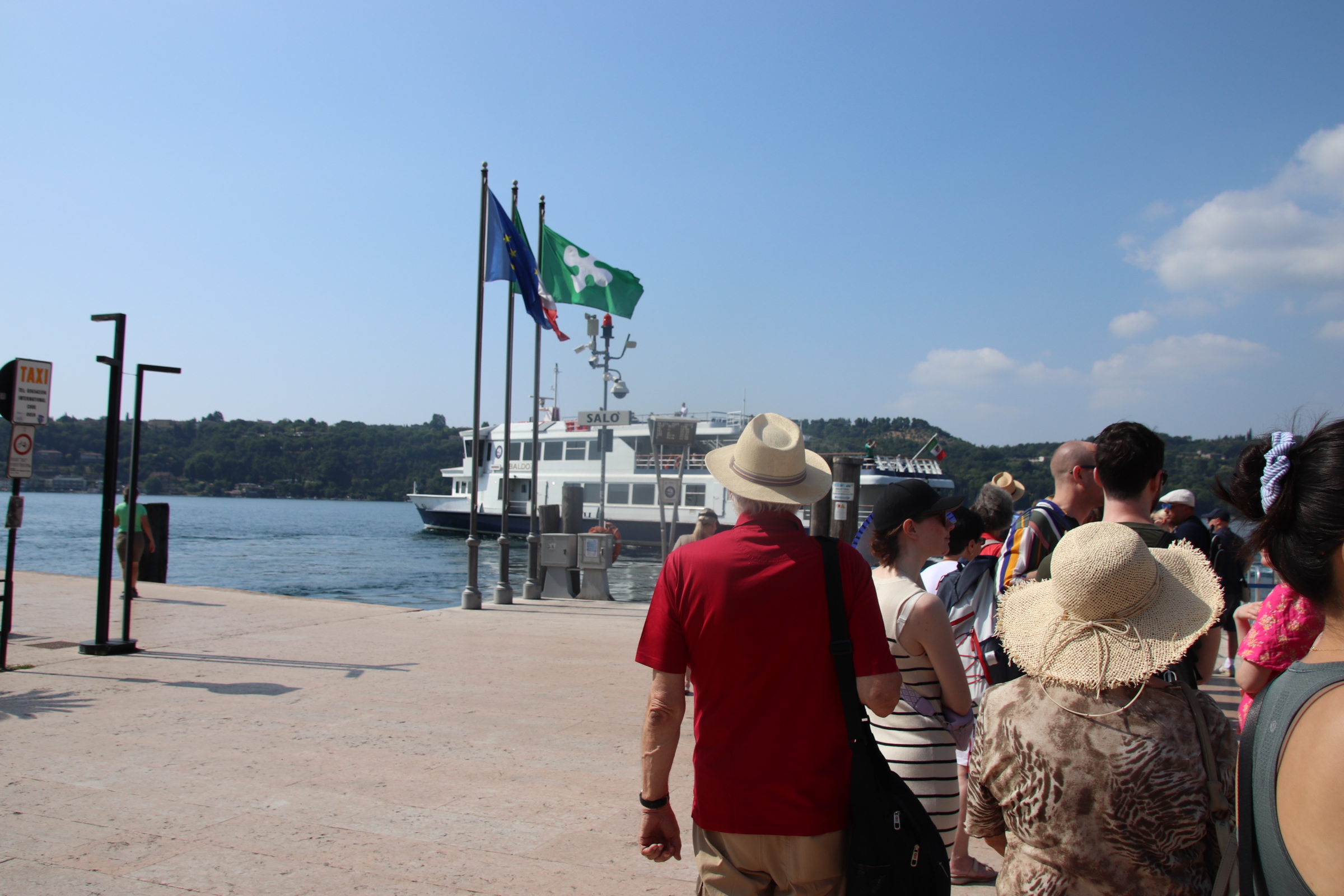
It is the day to come to terms with the Lake Garda ferry timetable.

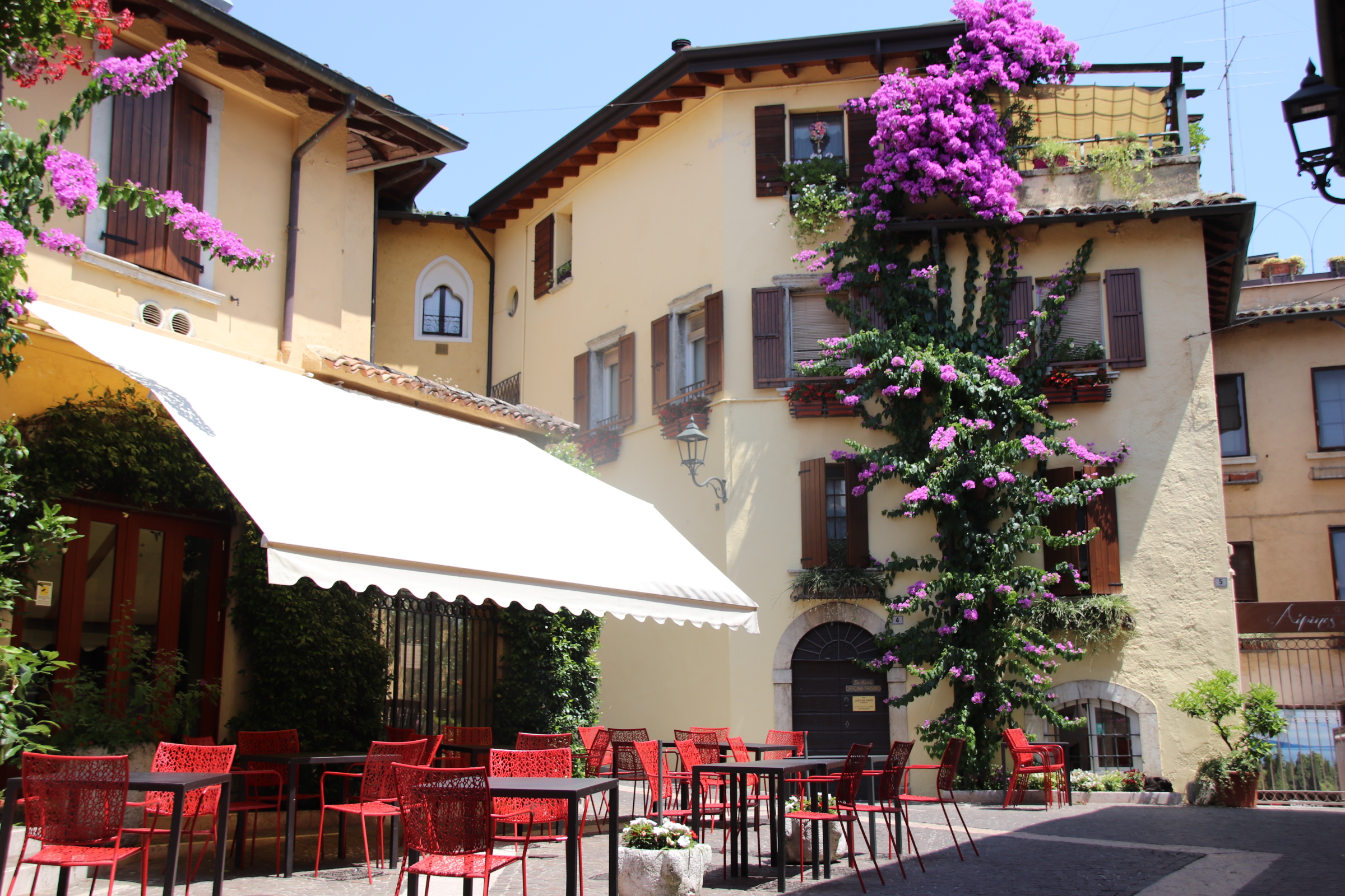
Easy you may say. Yes, but only after careful study. It details all routes from all towns in no particular order other than north to south on one side and visa/versa on tother. An occasional ‘fast’ ferry confuses it more by missing out certain stops and reducing journey times. The danger is that by timing your arrival at one place you then have limited options to get back and if that boat is full, you are stuck for several hours. Luckily this never happened and our journeying was great fun & really cool (in more ways than one – lake breeze ruffling my hair and wonderful views of private islands, elegant gardens, castles & turrets & spires).

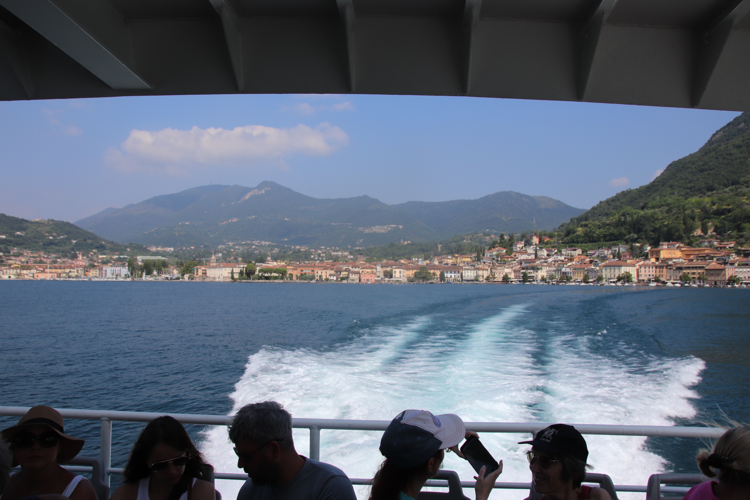
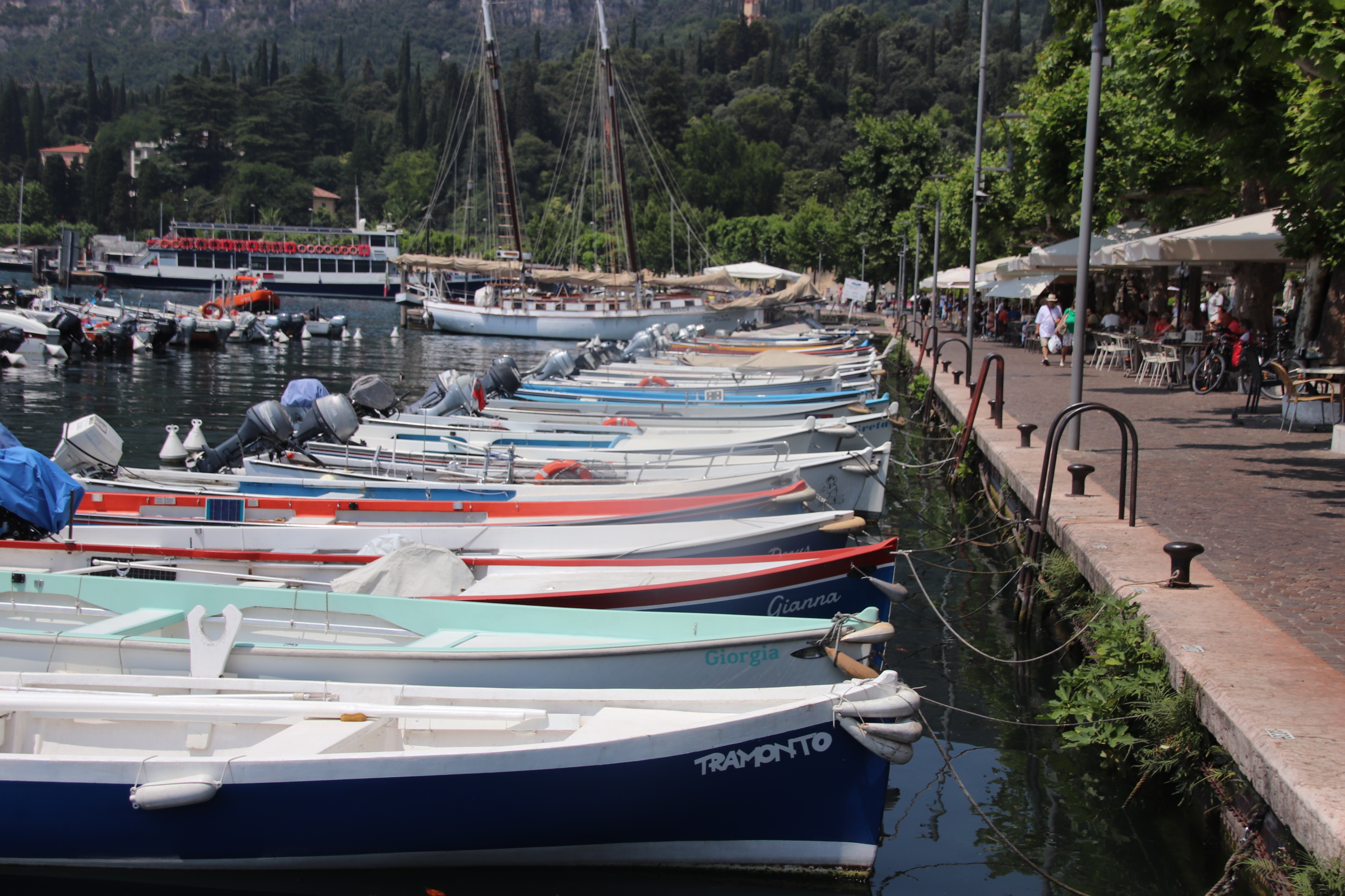
The first journey was down to Sirmione, an hour away on the first, fast boat; a bit of a shudder but glorious sights of lake craft – chugging ferries, elegant yachts, sleek playboy motorboats leaving crisscrossing wakes of leaping horses to mark their routes.

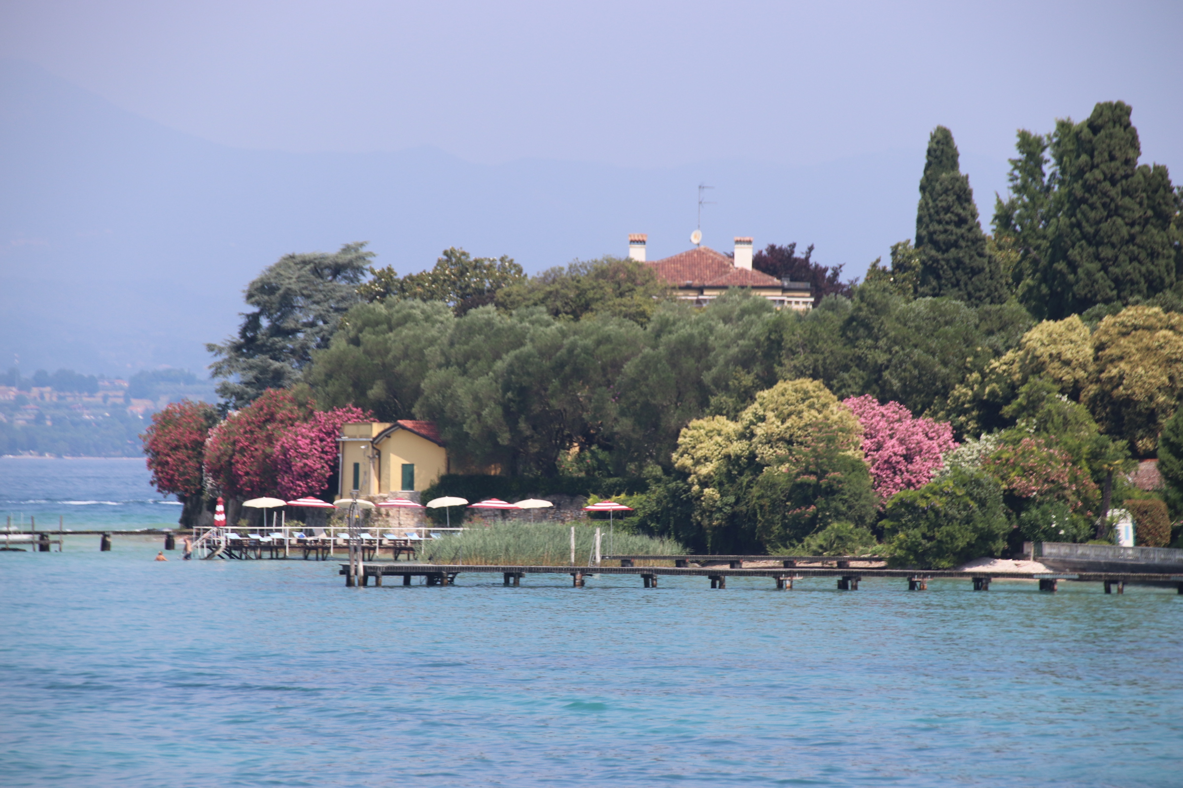
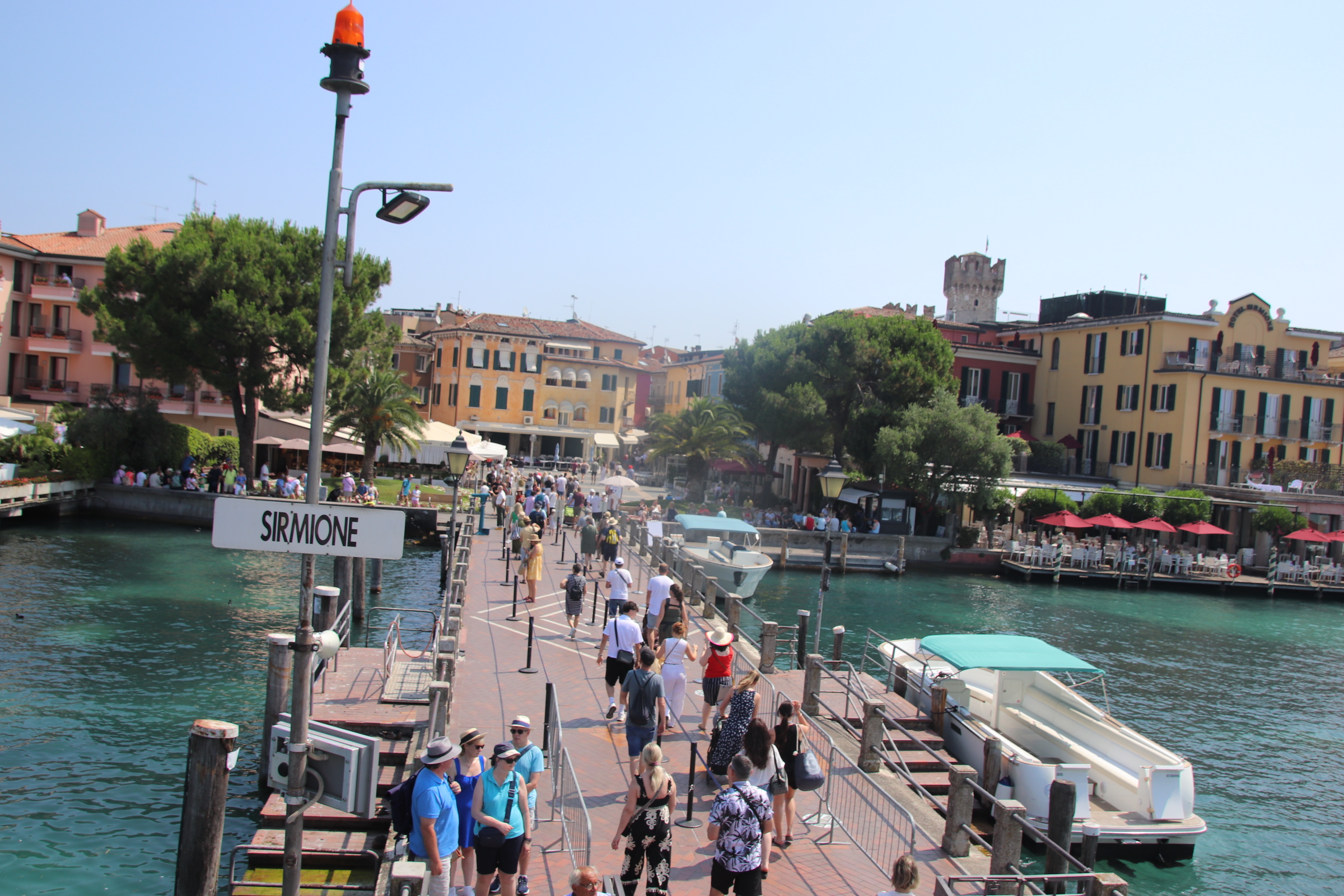
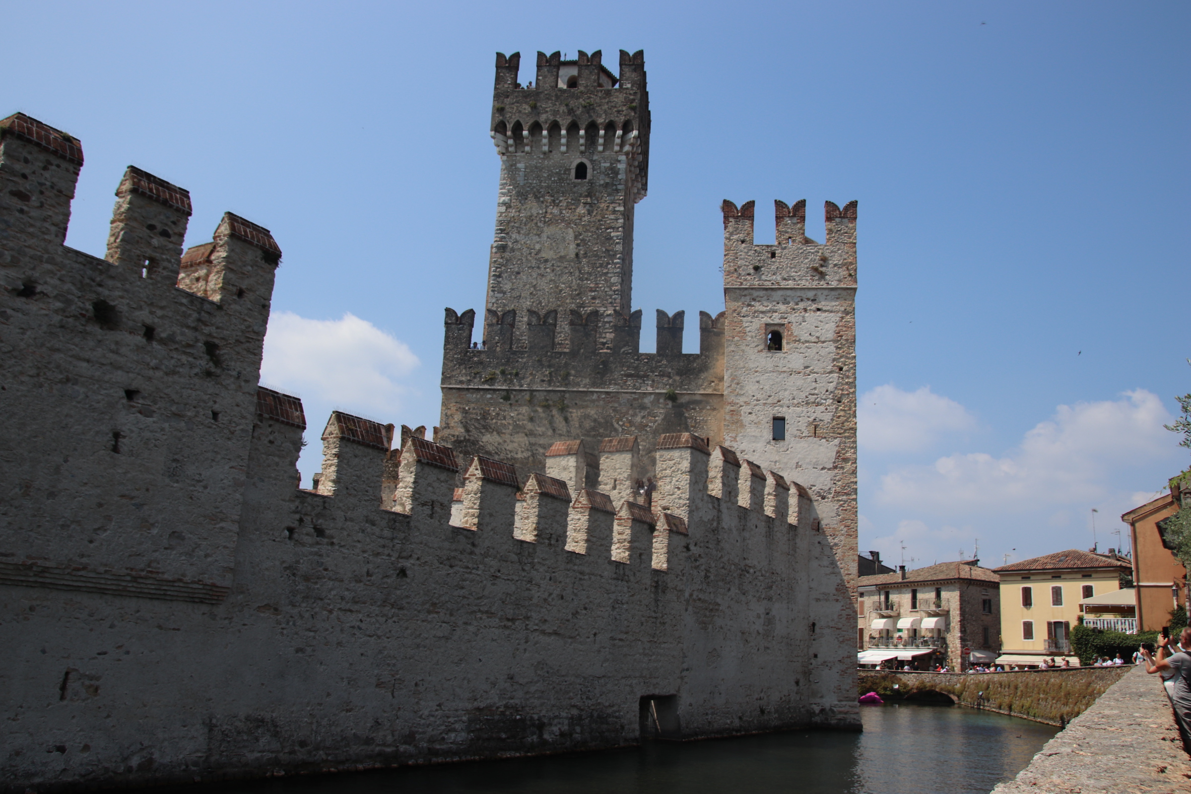
From our crow’s nest on land we can see Sirmione down on the lake in the haze. It lies on the head of a long, thin peninsula that stretches out from the south shore. In Roman times a villa stood here amongst Cyprus trees, olive groves & shaded gardens with thermal baths as company.

Its unique position was not lost in medieval times when the impressive Rocca Scaligera castle was built with typical castle features – drawbridge, castellated walls, a Rapunzel tower, moat …. oh and a large, bright pink, plastic crocodile.

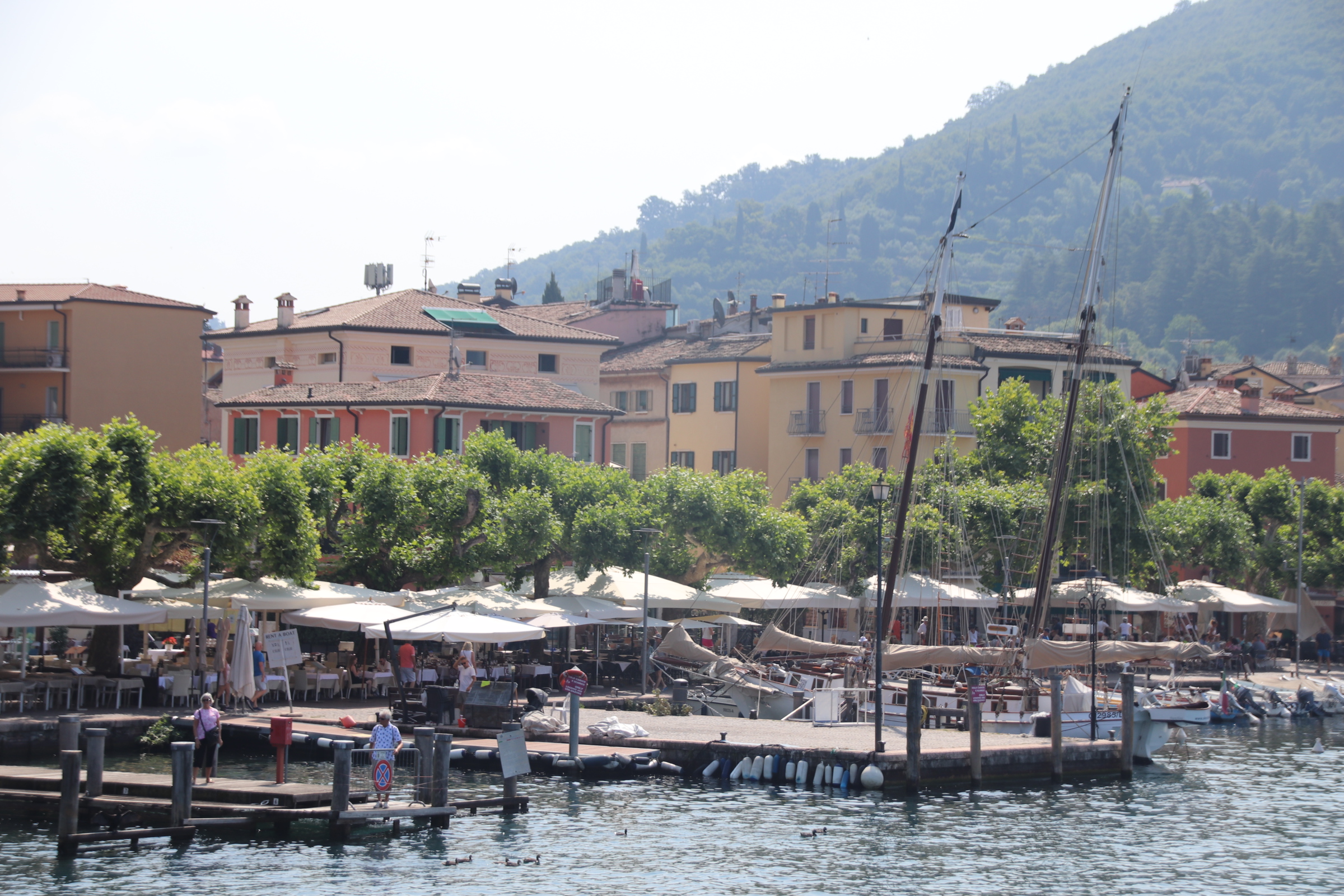
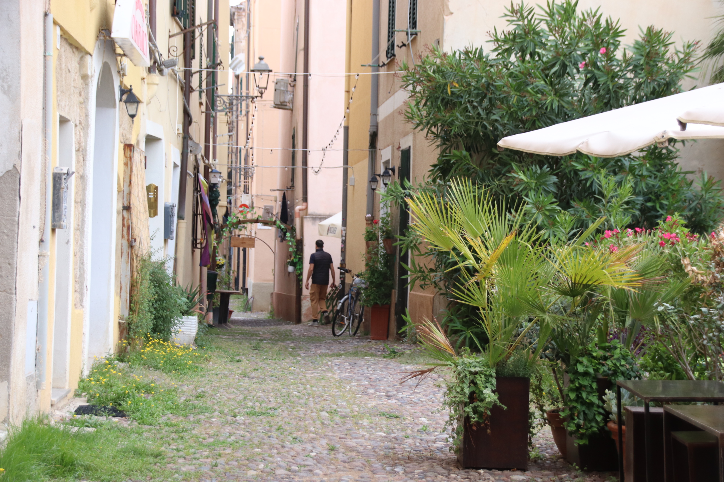
However, Sirmione is on the radar of every tour operator from Frankfurt to LA and suffers with tourist groups crammed into dusty, hot, cobbled streets. The outside car/coach parks are full & ferries offload their full capacity to contribute to this bad tempered melee.

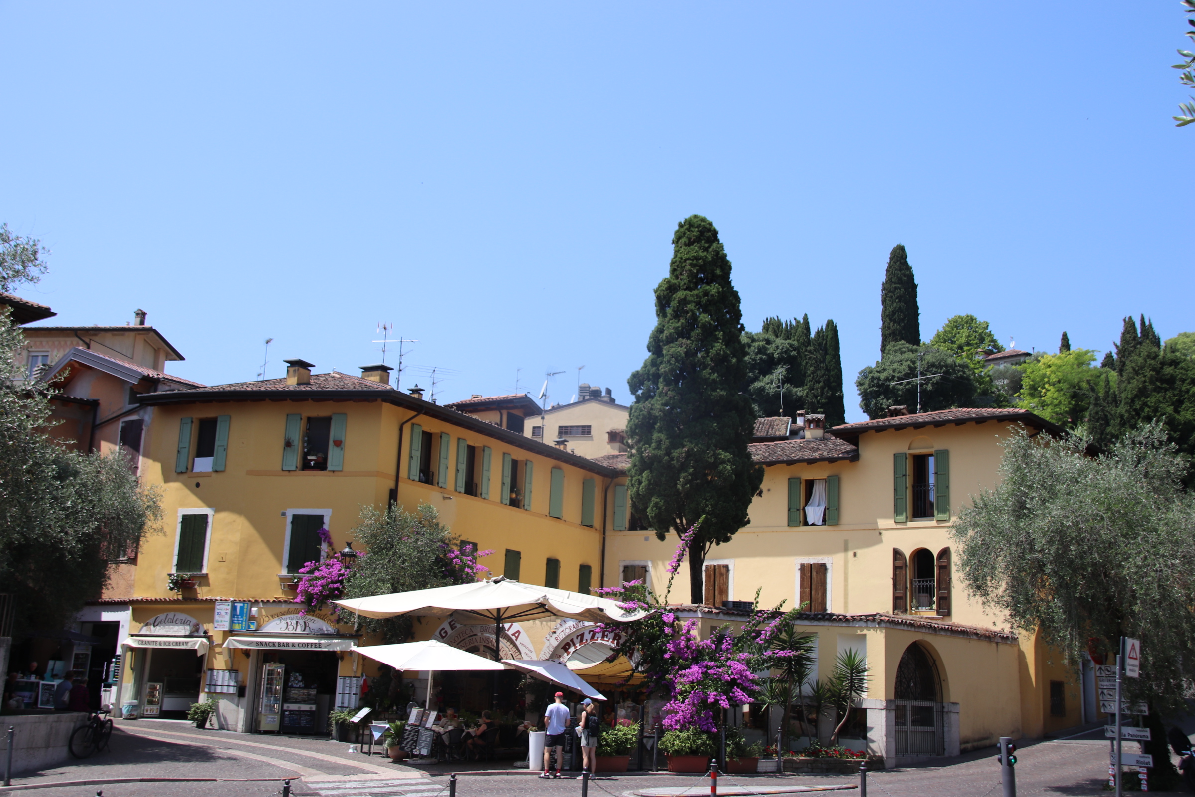
“Quick, consult the timetable. There’s a boat in 30 minutes to Gardone. We can get off there, and wait for the 3.05pm to Salo….maybe grab a light lunch & a glass of wine…….much more civilised”.

Bliss!

The Gardone Riviera & Maderno on Lake Garda

From our perch up here amongst the ripples of breeze that rustle the olives, vines & cypress dotting the hills above the southern part of Lake Garda, one can plan sorties out to take advantage of any cooling effect from lake or wind.

The first bit of exploring took us a few miles up the west side of the lake Late June seems a good time to holiday here. Flowering shrubs are abundant and in full display. Roads are not that busy, parking is easy and the places we came to are very slow & sleepy.

Gardone is a chalk & cheese kind of place. I presume the cheese is the tasty place & the chalk is nothing to write home about. Well, the ‘chalk’ follows the lakeside with very grand, impressive century+-old mansions beside the water on a stretch called the Gardone Riviera. Hmmm; it does not really smack of Nice or le Tropez; all a bit grey & concrete & baked promenade. A solitary tree provides some natural shade half way along the front where refreshments can be found.

Gardone’s ‘cheese’ can be found above on the high lakeside above the line of multi-floored hotels & mansions. Up a picturesque, winding road, past formal gardens and through extensive lawns & strong, overbranching conifers to arrive at a small settlement at the top. The mayor’s office overlooks the lake.

Pass up further through the tidy, narrow streets to the far side of the village where a tiny piazza is enclosed by several small restaurants and the church.

Beyond this is an elaborately sculptured entrance to an open-air venue which hosts a range of modern-day artists and an idiosyncratic motor museum with some interesting figures standing guard!

Mardone is the next village up the lake. Fast asleep in the midday sun, it is far too lazy to lift itself out of any heat-imposed slumber. I had to visit to find details of the vehicle ferry across to the east side of the lake and thus avoid the motorway to the south when moving on.

Blazing the coastal trail to Bosa

My biggest surprise in driving the coast road south to Bosa is just how green & flowered the island is.

A patchwork of hay grass, some lying flat awaiting raking, mixes it up with meadow flowers of white & sunshine yellow. Lines of mixed deciduous woodland trees mushroom up alongside stretching olives & the occasional patch of pine. Lightbulbs of flowering gorse blaze in clumps, illuminating the course of a track, the side of the road or highlighting a crag of rocks or a tamed wild rockery. The colour palette is so varied, blues, lavenders, pastel purples, even lilacs thrown in there along with a brief flash of rather garish crimson poppy and all against a background of greens on one side & the turquoises of ocean & sky on the other.

The route attracts bikers & enthusiastic cyclists. For the most part the road is wide, the surface smooth – a joy to drive/ride. There is no room for cafes or bars or tourist tat here; Just the occasional view point where riders can share anecdotes & appreciate the serenity & beauty of the open road & the clear blue sky.

Don’t be fooled by the functional feel of the modern buildings you first meet as you enter Bosa; nor by the very ordinary street market, which by 1pm consists of a few lonely stalls, unloved & seemingly unwanted by their traders.This is one of the most beautiful villages in Italy.

The old town lies at the bridgehead over the Temo River. This meant that it prospered – agriculture was king on the plateaus inland with the water transporting grain & products to & from the coast, whilst the river also provided access to the sea, and fishing and trade created wealth from the surrounding ocean.

Ignoring the gate keepers at the small restaurant gurding the entrance, head into the maze of narrow cobbled streets/alleys of the old town.

Here, the multi-storeyed terraces stretch so high above that the shadows reign supreme and the sun has no hope of surviving down at street level.

The river is lined on both sides with buildings dating from past times – on the far side mostly warehouses stretch in an unbroken line from the bridge towards the sea. Opposite, warehouses share the riverside with merchant’s houses.

Domes, steeples flaking facades peer over each other and jostle for position alongside the bank providing a textured backdrop of colour, texture & position.Above the village, the 14th century Malaspina Castle stands guard, protecting the village from ancient enemies & invaders.

Alghero mixes it up with cobbles & squares on the island of Sardinia

Having landed in Olbia on the north-east of the Italian island of Sardinia late on Saturday night, we negotiated the intricacies of a hybrid hire car with only 1,500km on the clock, the small digital display of Google maps on a phone & light RAIN through dark streets to reach our first night’s accommodation. Our mood was not lightened when we were unable to remove the key from the door once I had pushed it open & the lovely night porter could find no other rooms to offer us. Chairs were used to prop the door closed overnight.

The following day required a couple of hours drive the town of Alghero on the west coast. I expected inland Sardinia to be like Corsica so it was a pleasant surprise to drive long straight dual carriageways through wooded flatlands of flower carpets & fresh leaved trees. In the distance ridges & peaks of the inland mountains kept us company.

Approaching Alghero from the north gave us our first taste of Sardinia’s glorious beaches. Well, it has to be said that it was a bit of a before & after. The road runs right beside the water. At beach number 1 the winter winds had dumped copious amounts of seaweed on the sands to dry in huge clumps.

We were assured about the coming summer by this poster behind the beach:

Beach number 2 had no such obstacle preventing access to the water and we spent a couple of hours taking in the sun & watching the antics of the high-flying kite surfers.

Old Alghero is surrounded by typically functional, modernish buildings for commerce & housing. The city was founded in the early twelfth century. The Aragon crown first expanded the port. The Hapsburgs then colonised the Island, and Alghero in particular. The ancient curtain wall with its strong battlements connects impervious towers and piers to circle around to face the sea.

Within it, a maze of cobbled streets are lined by dusty, medieval buildings with low doors & tight windows. History & tourist tat ( the most apparent being copious amounts of red coral artefacts) combine to to pull in large numbers of visitors. The sun finds it really hard to penetrate these historic streets, only succeeding where attractive squares open up to umbrellas, cafe/restaurant tables, gelatine stalls, imposing churches & chapels.

Quintessentially French

A circular route takes us into the high country. Narrow roads, so well maintained & surfaced clawed across the landscape to the far, faint horizon. Mixed woodland, girding its loins to begin the change from green to brown to bare, covers straight ridge lines and sharp-sided valleys across the spreading landscape in subtle shades and interlace their fingers like a congregation of parishioners about to settle into prayer.

The weather drops a very wet load on this land, particularly in winter when the snow & ice melt. Streams & rivers have cut & hacked away at the land over the years leaving evidence of the power at work in the form of gushing torrents, sharp ridge lines or bottomless ravines. Man does the best to cope with such obstacles, building bridges & settlements at suitable places in an attempt to tame it.

Villages are small and ancient; old lanes & trails, designed for another age when feet and the cart were the main form of transport, hug the valley sides or crawl to the top to peer over to follow the chicanes down to the distant settlement far down at the next crossing over a tumbling water course. In places, the old tracks can be seen cutting a bend or smooth modern tarmac has been layed over the ancient route, providing a wonderful course for speeding motorbikes. Settlements can be too small to even mention – a handful of houses clustered around a small church & maybe a graveyard, but some grew to be essential to folk of the time – around here it was to provide sanctuary and respite to those passing on the Pilgrim’s Trail.

St-Gervais-sur-Mare is a stunning little village that grew up in the 13th-century as a staging post on the route to Spain.

A largish village, it is dominated by the nave of the church of Saint-Gervai-Saint-Protais. Wide, ancient steps lead up past the arched doorway and historic dwellings to the ramparts & the château.

Peeking inside the historic church, an old lady follows us in and points out in local, incomprehensible French a side chapel containing a font made from the same marble as used in Versailles by French kings (I think!). She turns out to be the organist – having left through the front door, she appears up on the organ loft & proceeds to give a private rendition of some wonderfully poignant piece that echoes around this empty space, leaving emotions exposed and senses shredded.

The high spot of this place is the village square. stands on above a small river that runs through the middle of the settlement.

If any place is quintessentially French, it is here.

Elegant buildings form 3 sides, with the Post Office, two bars & a hotel tucked into one corner & at the other corner of the same side a second bar;

empty tables with rather ornate chairs, cushions piled up under cover, await ’the rush’ (although, I’m not sure there’s going to be one any time soon)

a war memorial reminds everyone of the nation’s past; shade is provided by staggered plane trees – high & impervious to sunshine & showers.

To complete the scene an old couple come out for a game of petanque, chatting away and traversing across the crunching stones between camouflaged trunks, clunking their boules as they go…. all so French!

The Cevennes & further afield in southern France

It seems like ages since I last blogged on my travels and even longer since I visited ‘La belle’ France. This autumn trip takes me from the Cevennes on the south east area of the Central Massif, across the Rhone to just north of Toulon to a market town called Lourges and then north to friends near Manosque – all excellent wine growing areas you will notice!

My love affair with France goes back decades but I was introduced to The Cevennes by my dear friends, the family Friends, who completely by accident, had discovered Barjac when they broke down on the autoroute and they had to have it towed to a campsite outside the town where it still remains, drawing families & friends for memorable holidays ever since. I have countless memories of my girls & pals splashing & swishing about in The Gold River & the streams & lakes in the dry Provencal landscape, canoeing down the Ardeche or the Ceze and meandering drives through the Provencal landscape for a night visit to Avignon or a day treat to Saint-Remy-du-Provence, all indelibly ingrained into my very being.

Back at the hacienda, after food had been consumed the Cote du Rhone continued to flow and we would lie back and stargaze & count the numbers of shooting stars on show each night, absorbing the aroma of wild oregano & rosemary and the wafting lavender fields that were grazed by the breeze and sifted over our receptive senses in a constant perfume. In the darkness the clear outline of the distant Cevennes could be always picked out against the glories of the spinning stars. During the day these layered, straining landscapes provided a constant backdrop to everything that we did, offering the possibility of adventure and excitement, but always too far away – until today, that is!

This trip starts on the edge of the Cevennes National Park just outside the small village of Villemagne l’Argentier in the Languedoc region of France about 30 km north of Bezier.

Established on the banks of the Mare River in medieval times, this ‘Abbey city’ lay on the pilgrim route to Santiago de Compostela & provided rest & refreshment to pilgrims on their way to Spain. Three buildings are listed and still standing & in use – the 11th century Church of St Gregoire,

the 14th century Saint Majan Abbey

and the 13th-century Hotel des Monnaies, now used as the Town Hall.

Over the centuries the Abbey has been the main force in the village and across the surrounding landscape. Wandering around the narrow lanes of 13th-century buildings little has changed since those early days – the only thing to suggest that times have moved on is the shiny gleam of modern vehicles parked outside cold, ancient facades.

A five minute walk across the river on the old, red-rusting bridge and up the lane into the hills, amongst the steep hillside of trees & shrubs lies our home for the week – a great base from which to explore the Haut Aquitaine region in general and the Cevennes in particular.