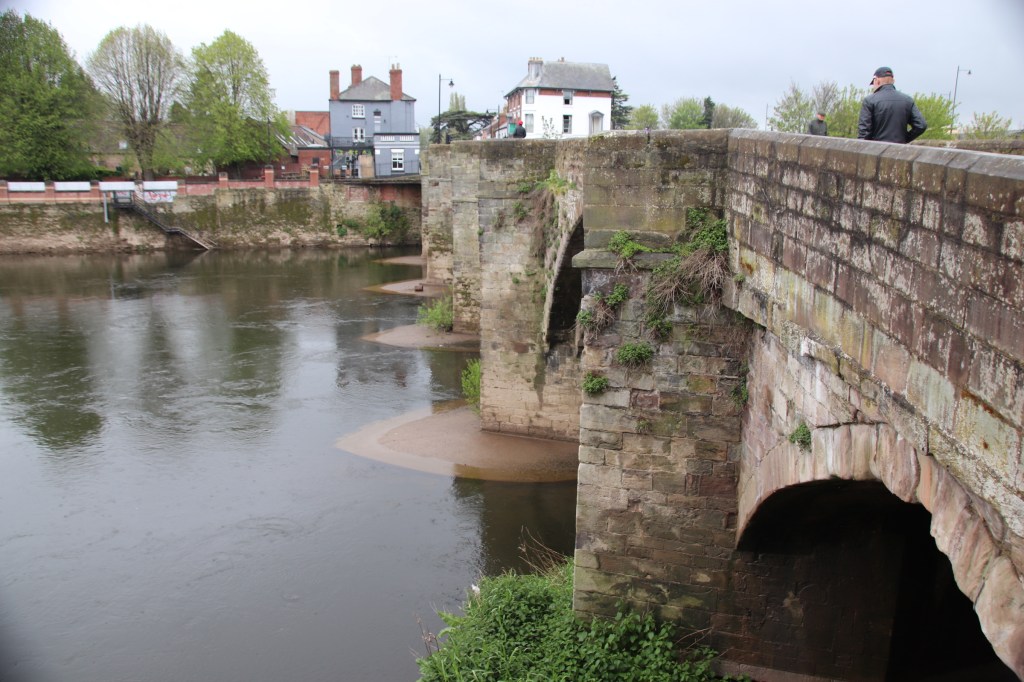
Messing about on Lake Como

Lake Como is shaped like a tall armless runner, striding out across the foothills of the Alps. The ordinary village of Domeso lies on the west bank near the top of the body of the lake. To reach it requires a drive up the west bank of the left leg.
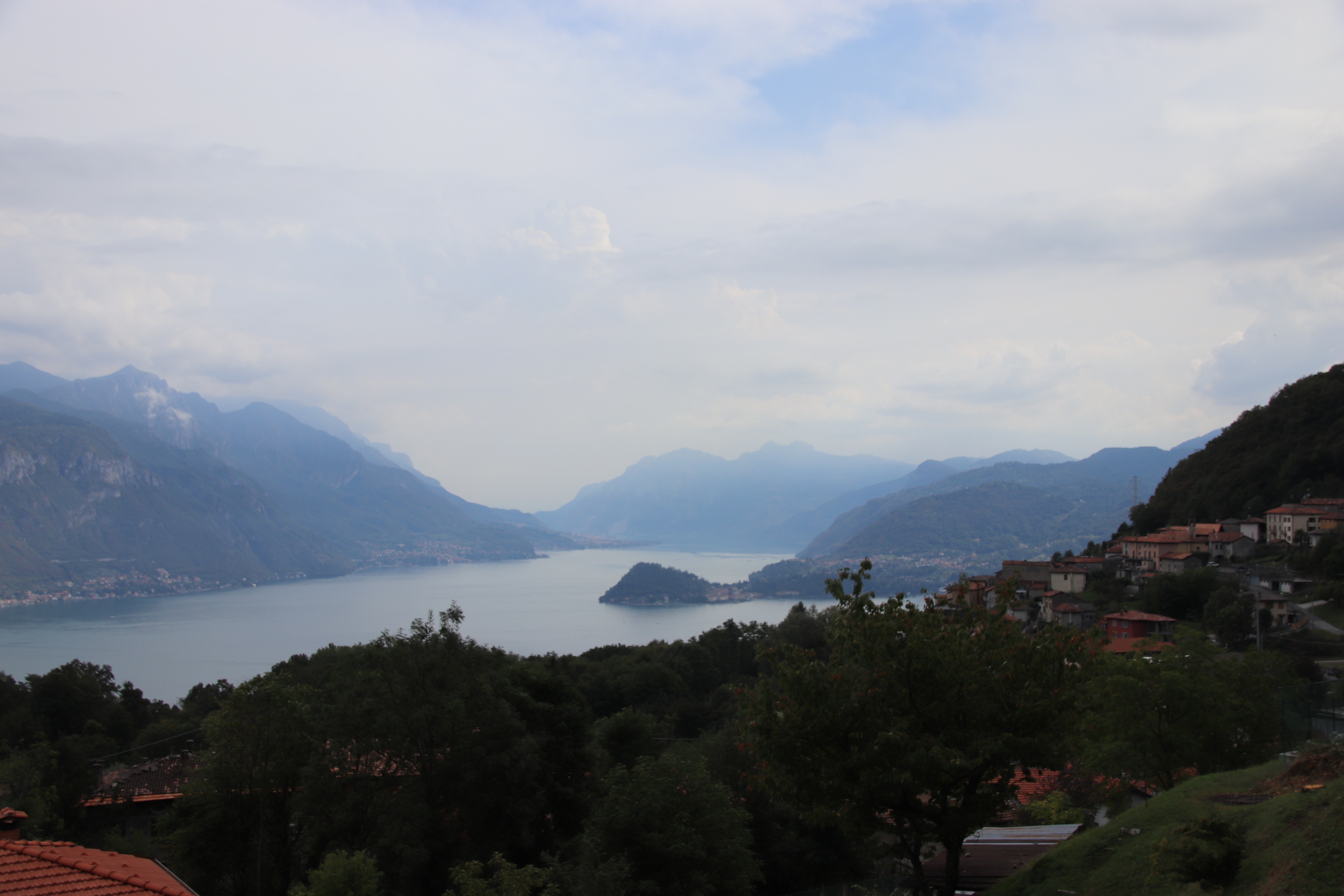
The differences with Lake Maggiore are quite striking. Como is narrower. The cotton wool clumps of bulging woods still close down along the water in the same way, but they reach up way higher giving way to proper, rocked mountains behind, like the teeth of lines of saws backed with layers upon layers of rising peaks and ridges.

Settlements do not really spread up into the foothills so much but wedge themselves against the lake, presenting the broad face of a triangle to the water and running away up narrowing, high valleys between folding layers of land.

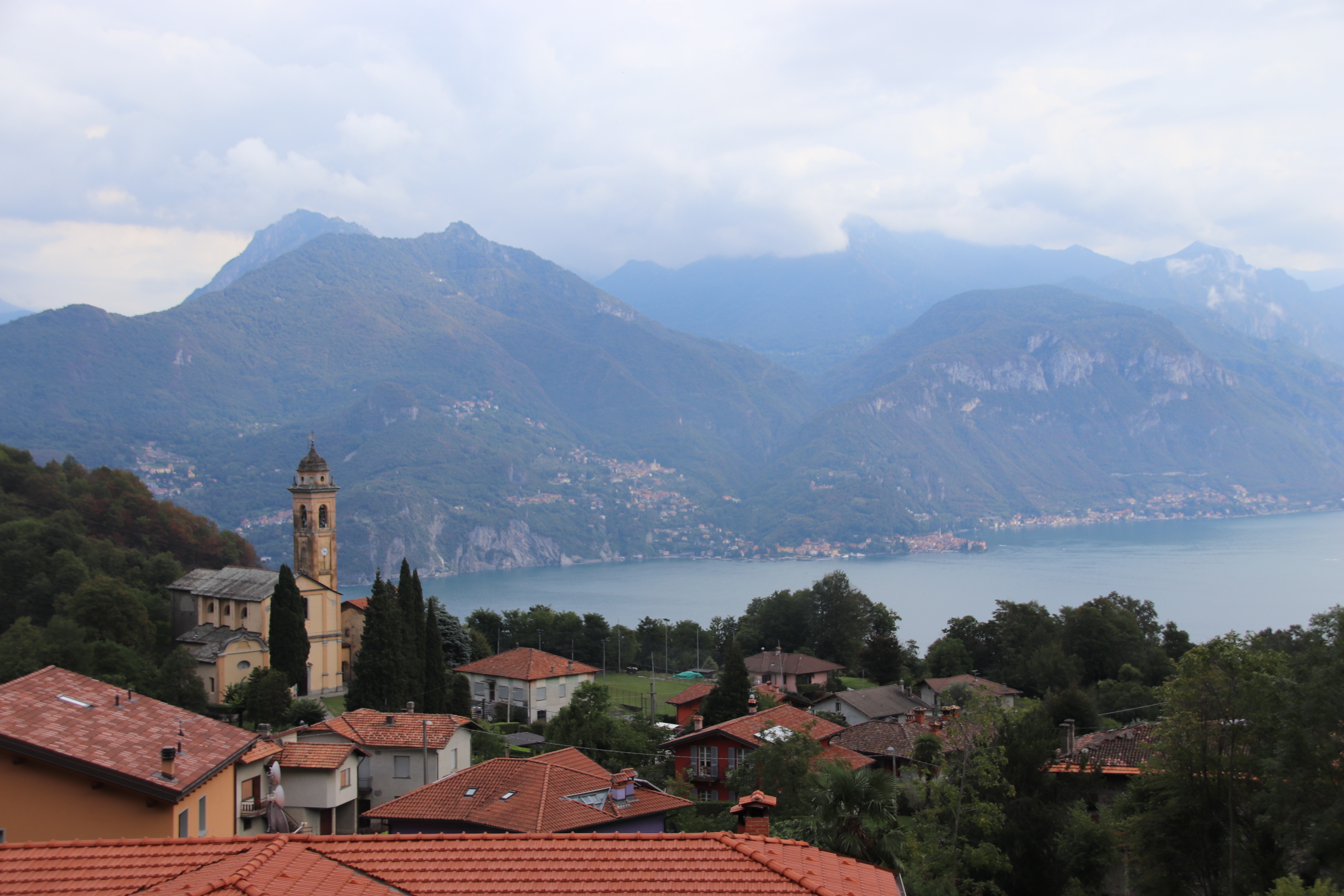
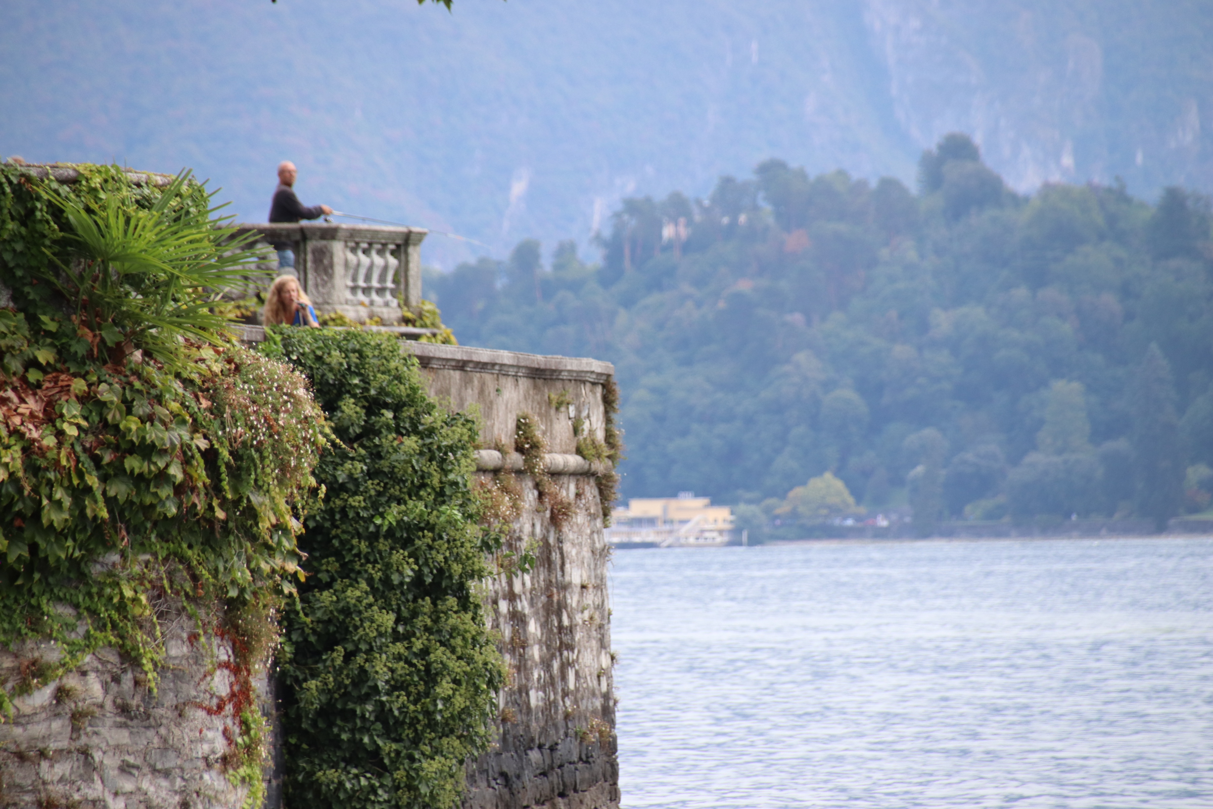
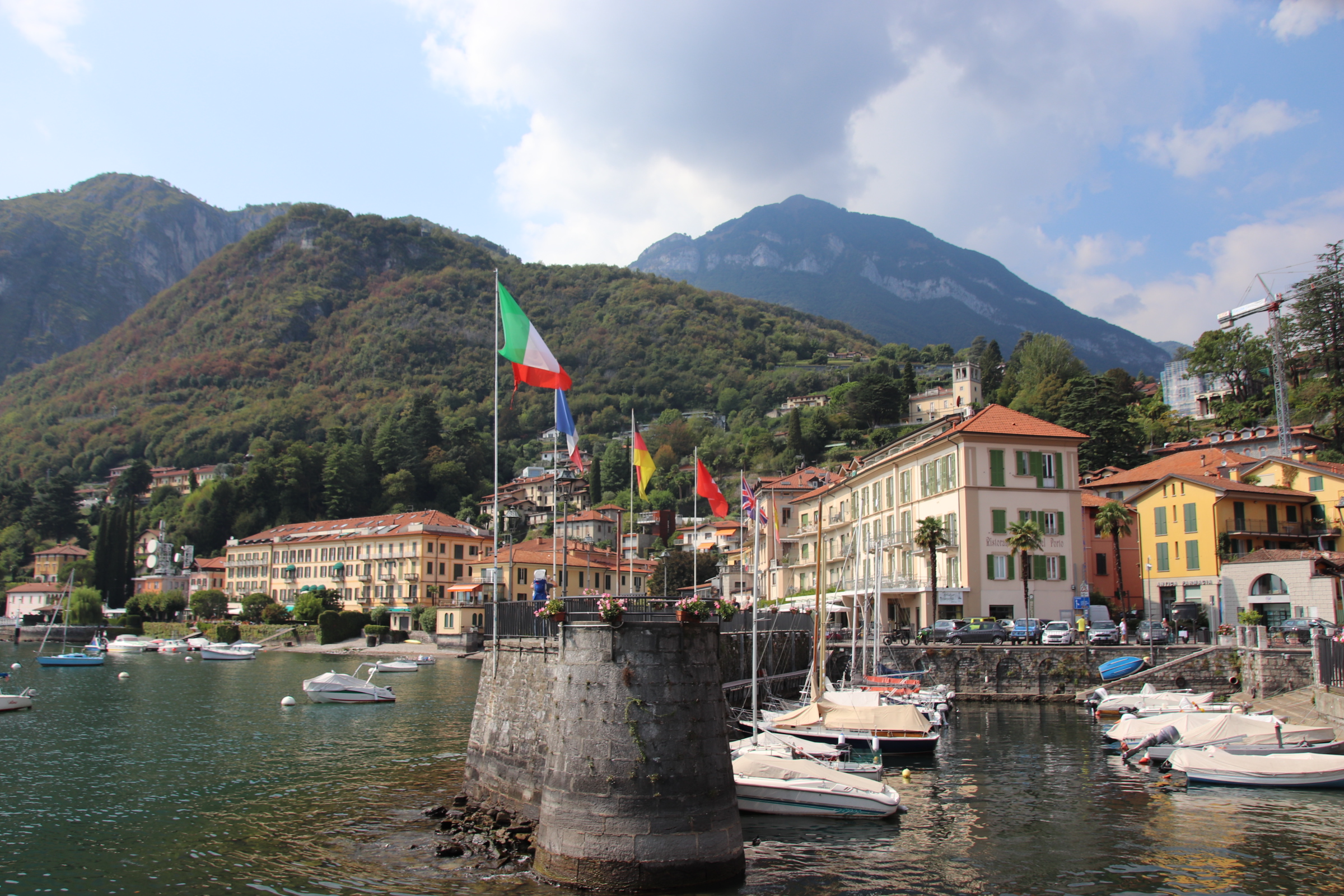
Driving alongside the lake is just beautiful, looking across calm waters dotted with the wakes of criss crossing ferries or private launches to distanced villages clinging tightly onto the edge. The road narrows to a single shaded passage between high rendered facades as it passes through old villages which open to reveal a centre of restaurants and bars around a simple harbour before entering yet another spread of uninspiring suburban landscape. The original road follows every promontory and bay between villages but progress has come to the aid of the weary traveller by cutting through the sticky-out-bits in dark, badly lit tunnels filled with the trapped fumes of exhausting traffic. It takes time off the journey but adds nothing to the quality of the journey.

The more opulent resorts with their majestic hotels, grand palaces & galleries, with their mahogany launches & fine-dining restaurants and their uniformed staff and status Ferrari’s, tend to be situated at the southern end of the lake within easy access of the Milanese wealthy.


Tremezzo is a strip of classy real estate near the groin area of our figure.

D


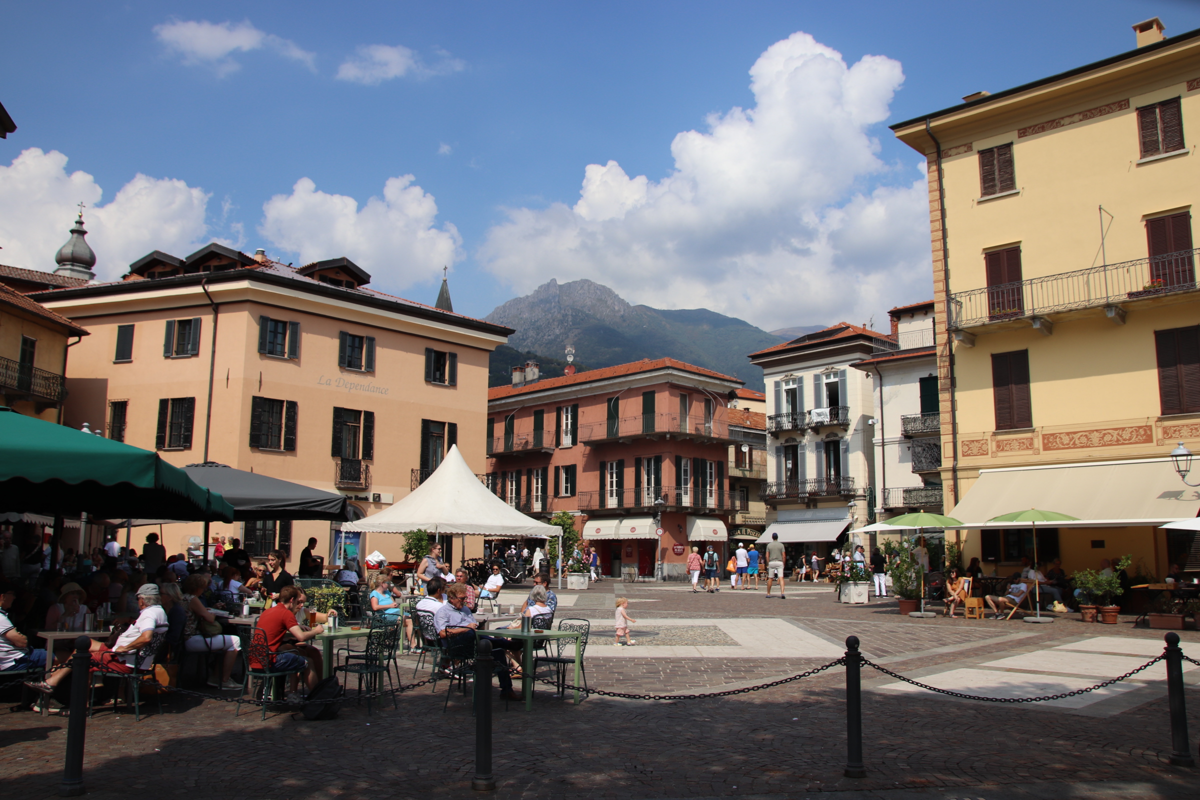
Menaggio is a bustling resort a few villages up. Bustling but still calm, genteel & sophisticated.
Where is George Clooney’s place?
Exploring the lakeside, whether it’s the classy spots or the more mundane, suburban sprawl around the old fishing settlements, is best done on the ferries or by bus – the C10 route. The advantage with a car is you can stop in any village or roadside hotel/bar/restaurant you want, the disadvantage is the gamble you take with finding a parking space.

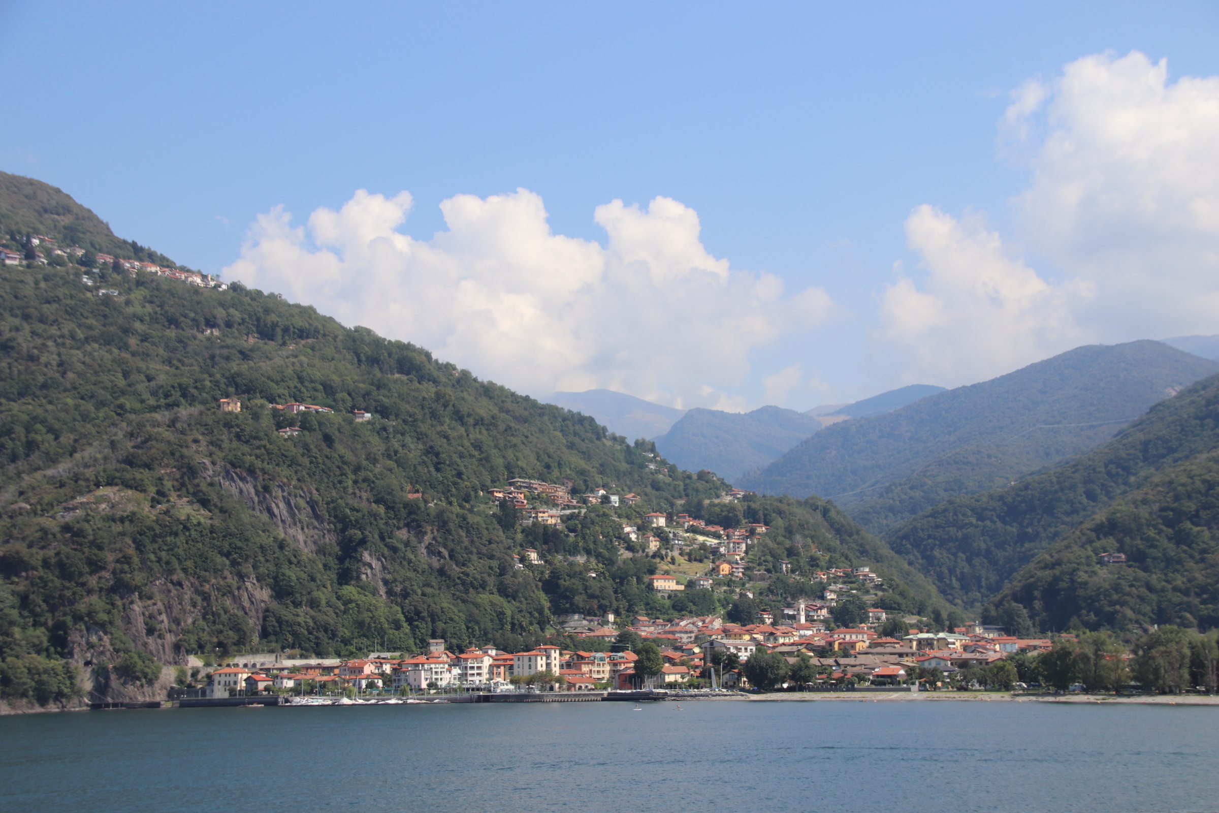
Taking the 200 ferry up Lake Maggiore to Locarno

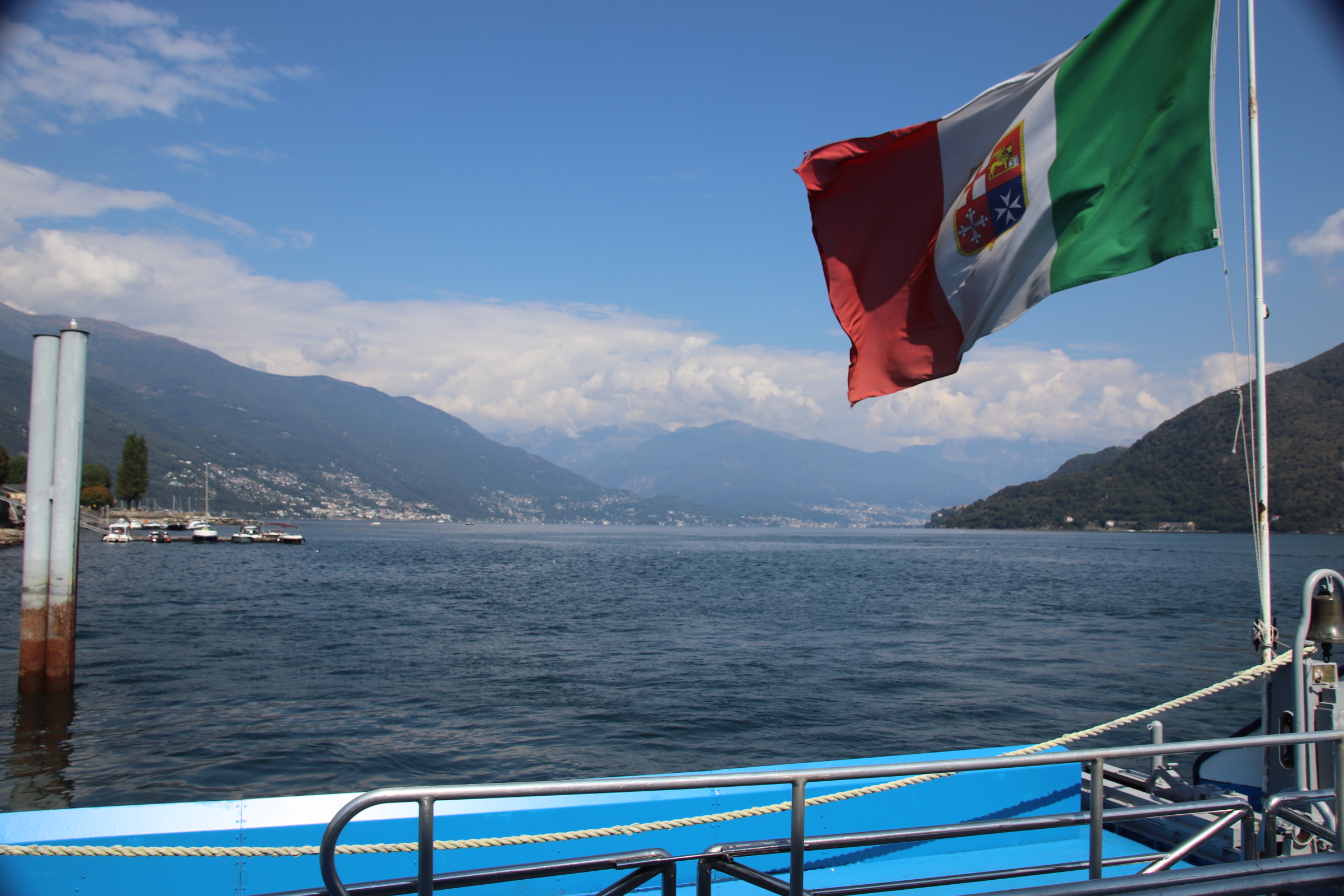
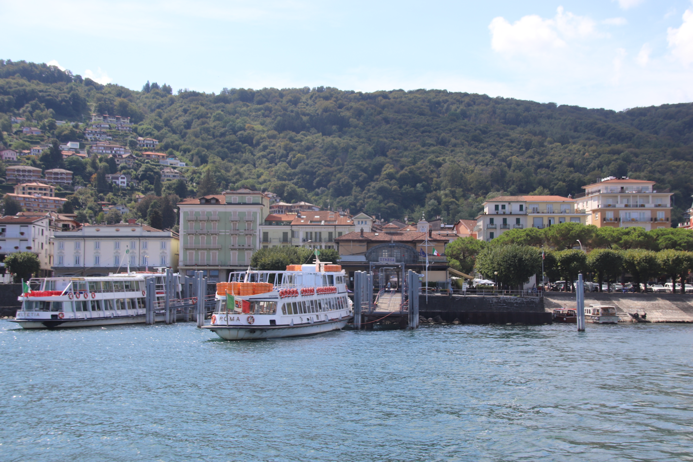
This is a real time blog. The engines of the 208 steamer service from Stresa to Locarno, at the top of Lake Maggiore in Switzerland, are throbbing beneath my red plastic chair on the low back deck where I can capture a few rays. Time 5.30pm. This is the return leg. Came up this morning having captured a position on the top deck for a great view of the lakeside and the backdrop of rising Alpine peaks and cloud formations that take the imagination on a journey of dreams through a suggestion of gorges and hazy ravines, overwhelmed by cotton wool ghosts & ghouls.


Looking over to the starboard bank (I think), the green-wooded bubbles of foliage and forest cover the hills and soft peaks that lead away to distant mountains. Dwellings, individually or in clusters large & small, salt & pepper both banks, faithfully following the contours around the hillsides or running in zig-zags diagonally through the green-leaved fluff of the growing slopes or winding in scars like huge helter-skelters.


Close up, little remains of the original lakeside settlements. A nucleus of cobbled streets around a proud spire of church or chapel is all that remains of past fishing communities. Firstly wealthy folk built their holiday villas at the water’s edge, then hotels & apartments went up from the centre and now modern shapes and lines dominate the hills around every hamlet & village, aiding the spread of mass tourism. In the Italian way, a grand hotel dominates a village beach with furled umbrellas & folded sunbeds for hire, thus preventing any hoipoloi, Tom, Dick or Marco from enjoying the sand.

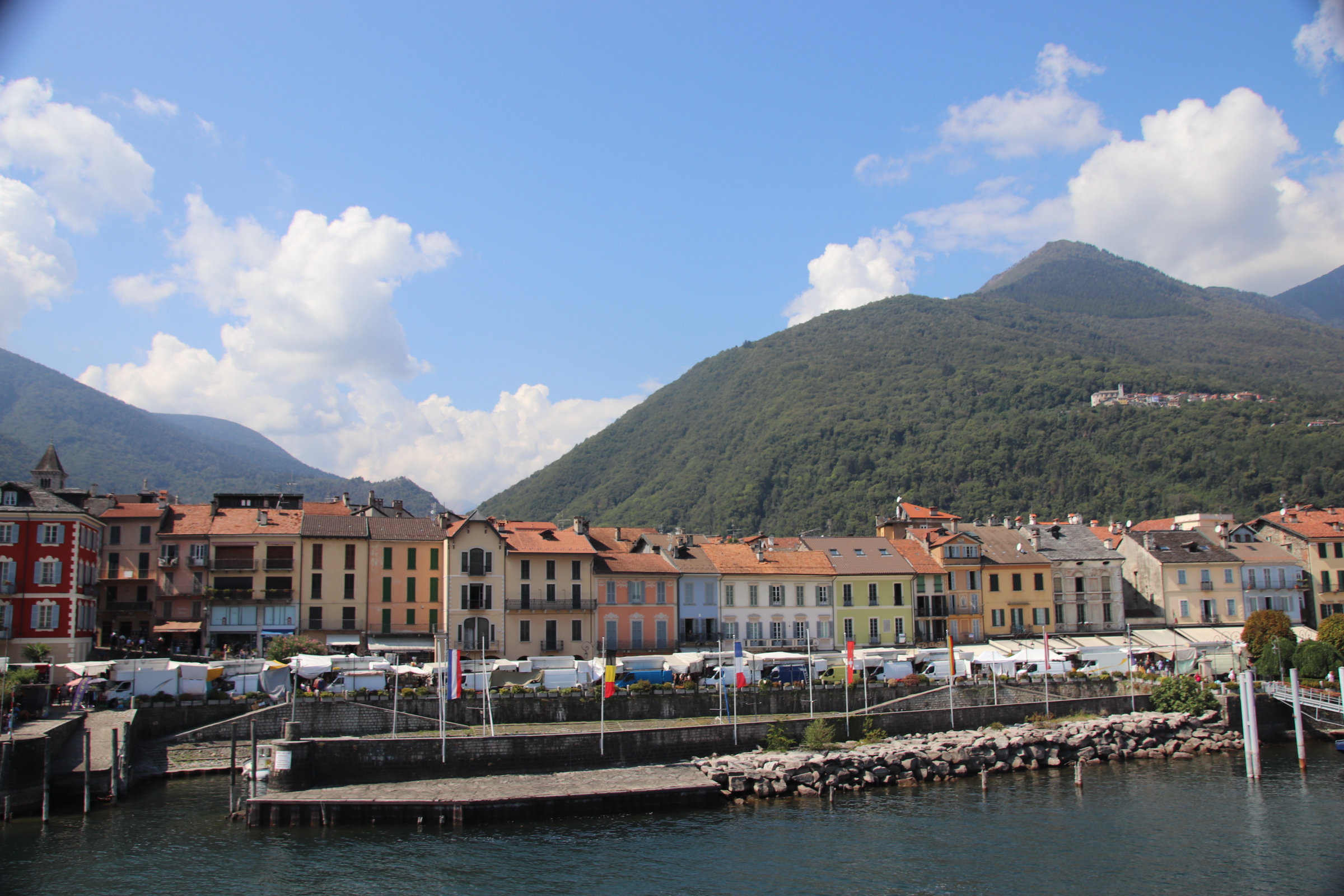
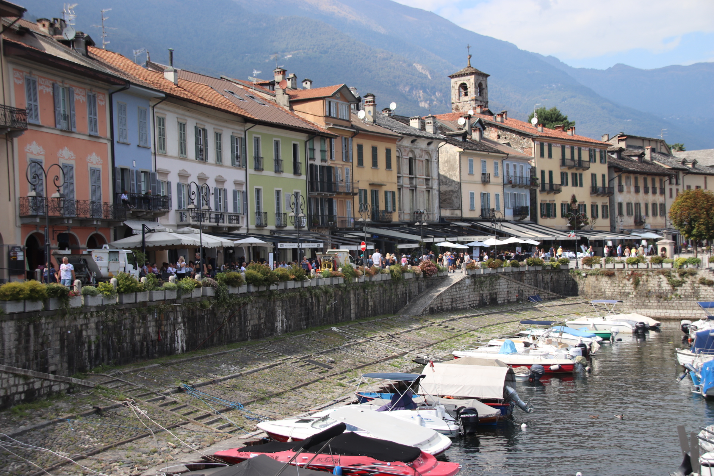
Cannobio is an exception to all of the above. Almost the last stop before Switzerland, first impressions are not good. It’s market day and a line of white vans line the quayside, hiding magnificent buildings with tarpaulins, rails of hanging cardigans & sweaters (wool & cashmere), crates of winter socks and piles of sheets & bedding. Disembarking from the boat into this hubbub and scrum of calling traders, heated tourists, angst waiters, crying children is a real shock.

Narrow cobbled gulleys and stepped paths lead away from the water and up into the old village.

As the market finishes around two, it is a race out of town – to pack away stock, curl away the rain cover, and get onto the lakeside road – White Van Man Convoy. Like robots, two town cleaning vans move their way along the quay and the full glory that is the waterfront of Commodore is revealed. What do you think?

Exploring the Italian lakes – Stresa & Lake Maggiore

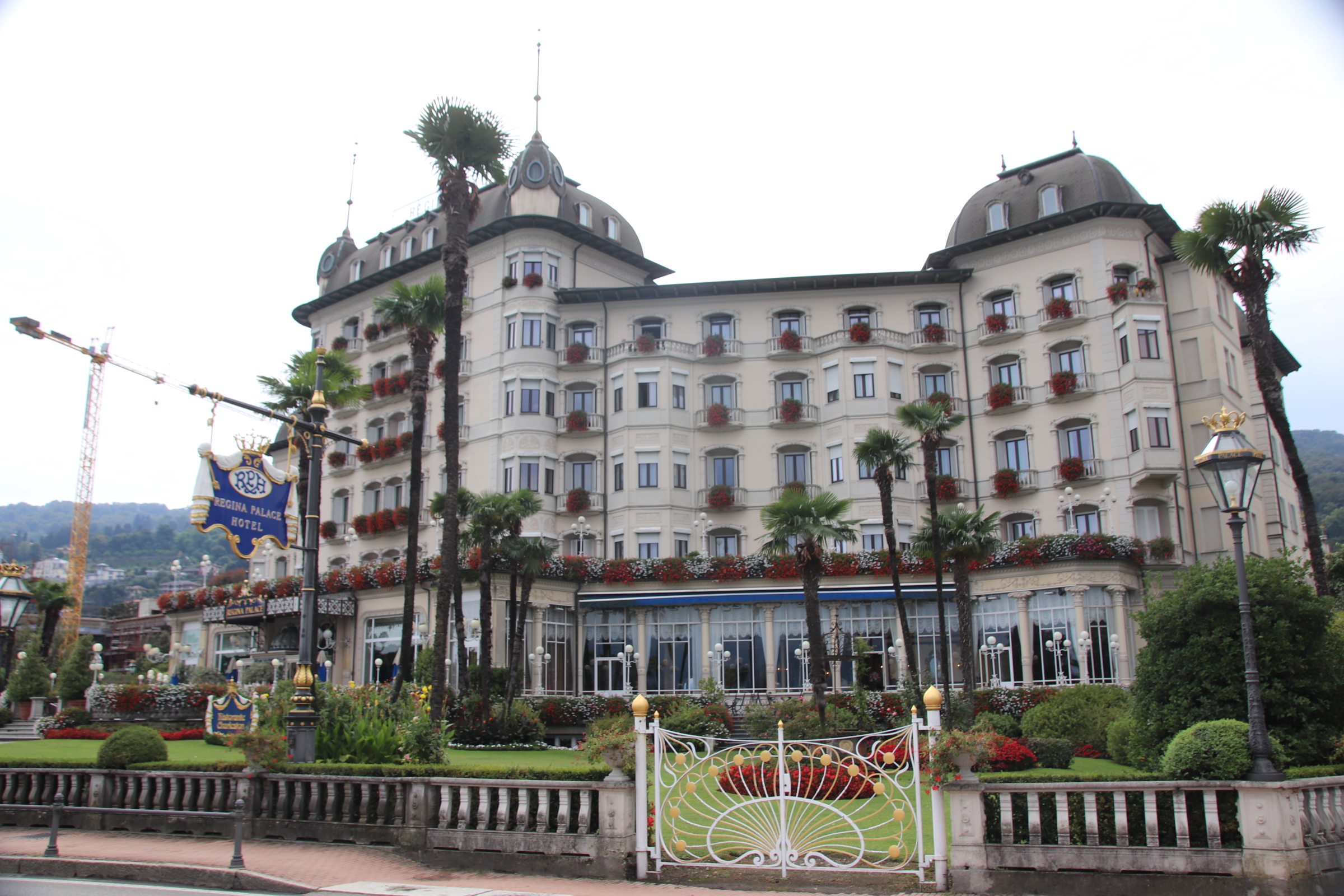
On the western bank of Lake Maggiore, Stresa started life as a small community of fishermen & peasants. Gradually it became a piece of prime real estate for the Milanese aristocracy who built palaces and gardens on the islands that lie offshore. With the arrival of the railways, Stresa itself became a popular holiday destination for the wealthy of Milan. Today, the imposing, impressive, multi-lit hotels along the front mix it up with fading apartment blocks behind, a jumble of cobbled streets containing bars, restaurants and the usual tourist tat, all that remains of the original fishing village.


In the winter the places closes up. In season, the hotels are filled with coachloads of slow-moving Americans, Brits & Germans, mostly grey-haired and rather loud. There is still room in the streets and the eateries for those of a younger disposition who are searching for a more local Italian experience.


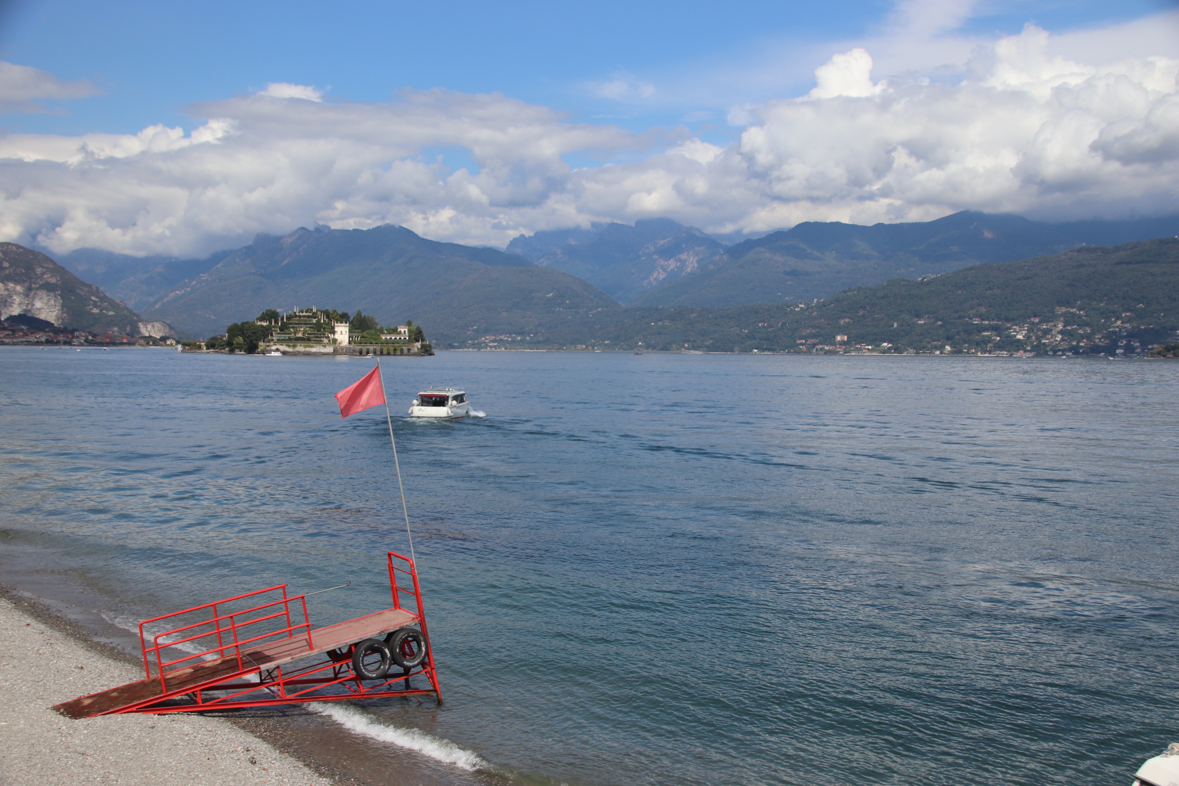
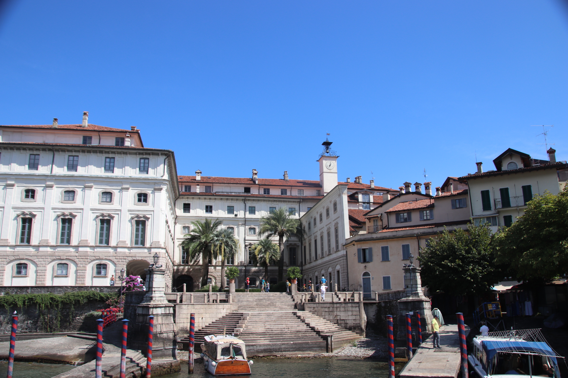
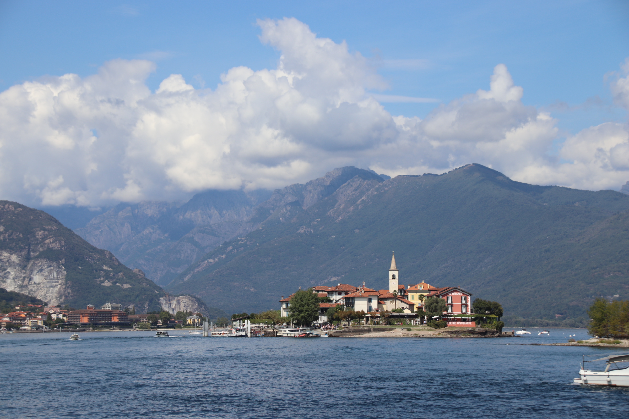
At this end of Lake Maggiore everyone has to take a tour of the islands. In the 16th century the Borromeos, members of Milan’s aristocracy, bought land here and built palaces on the islands of Bella and Madre. Private tours to visit the grand buildings and impressive gardens are available at quite a cost. Or one can take the public ferry from the centre of town for a few euros and visit them all, plus a few mainland villages, from the water.

Isola Bella

Isola Pescatori

Isola Madre

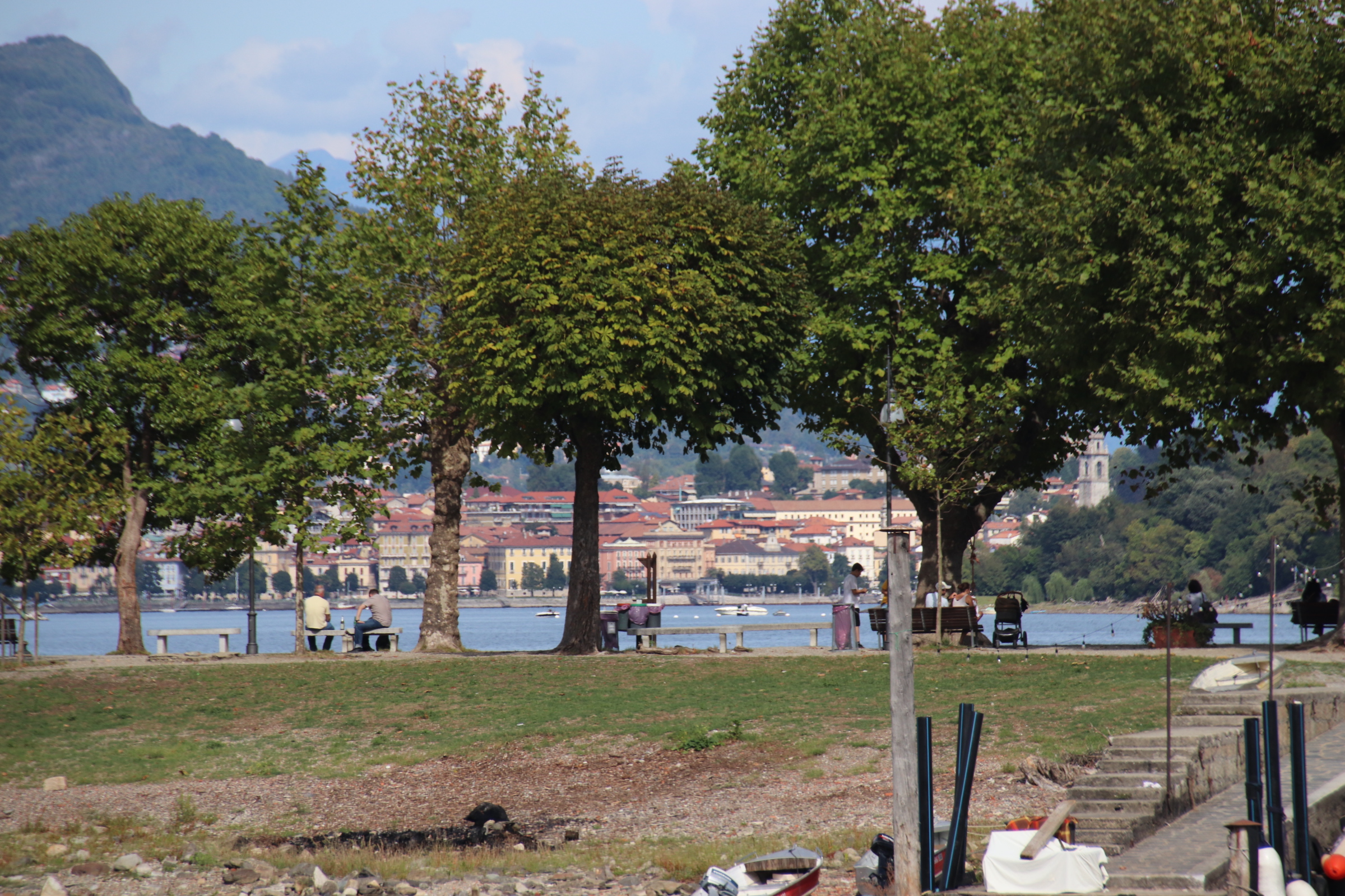
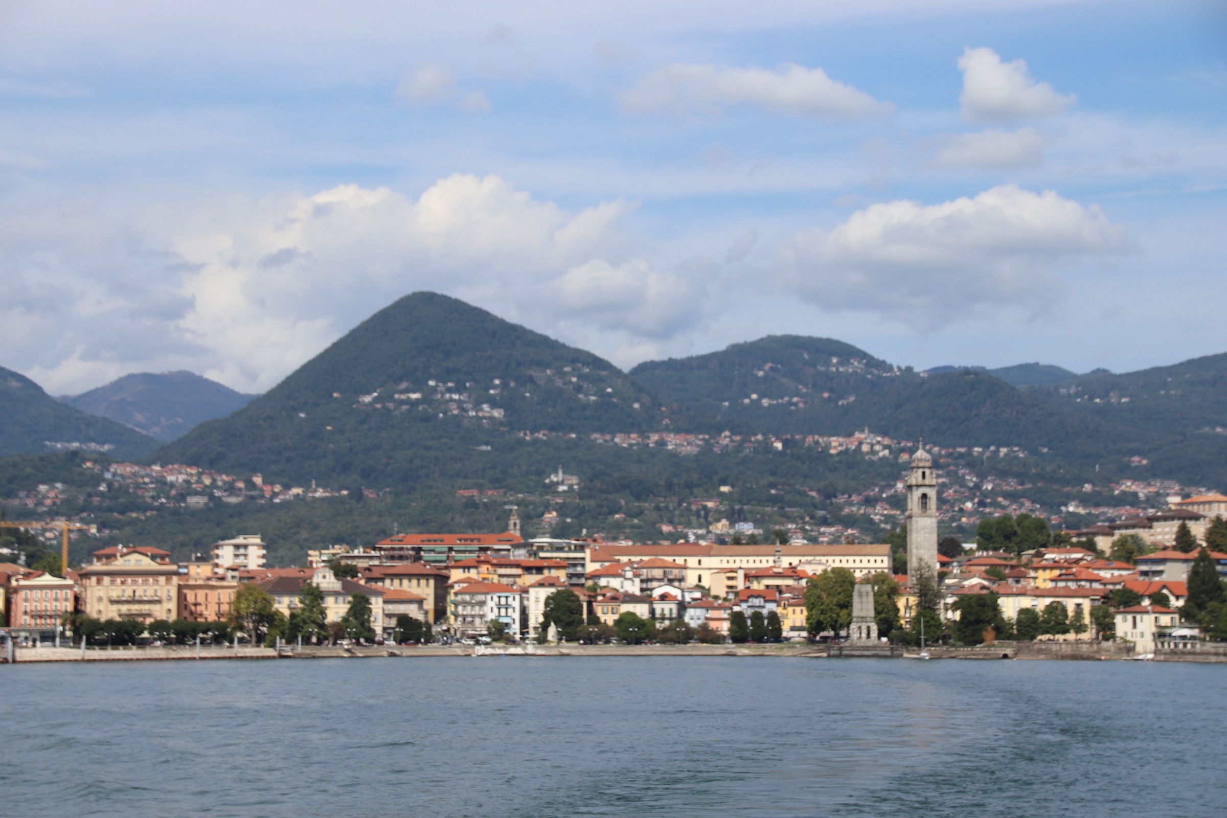
Verbania/Pallanza

And the ferry back to Stresa

A change in the weather

The day breaks with a huge dump of water for an hour, heralding the end of heat and the arrival of cool with grey, blustering skies dampening holiday plans and seaside activities. So it’s onto the Coastline to explore the Norfolk coast by bus.


Finding the bus station in King’s Lynn was an inauspicious start. Google Maps and tourist signs combined to complicate the journey’s start, extending the walk from 10 minutes to over half an hour, before a friendly local, lips & nose pierced with silver graffiti, takes us by hand and leads the way with her elderly charges.

The bus station appeared through the drizzle at the edge of the functional, 60s shopping precinct, with tunnels of cattle seats herding patient lines of greyed, coated ancients, along with the occasional splash of youthful dress & colourful hair, to a neon display for the number 36 to Wells-Next-the-Sea. The single decker arrives after a short wait and gorges on the slow-moving, hokey-cokey of waiting passengers. Off we go. Through the sad streets of downtown KL – Kings Lynn not Kuala Lumpa!

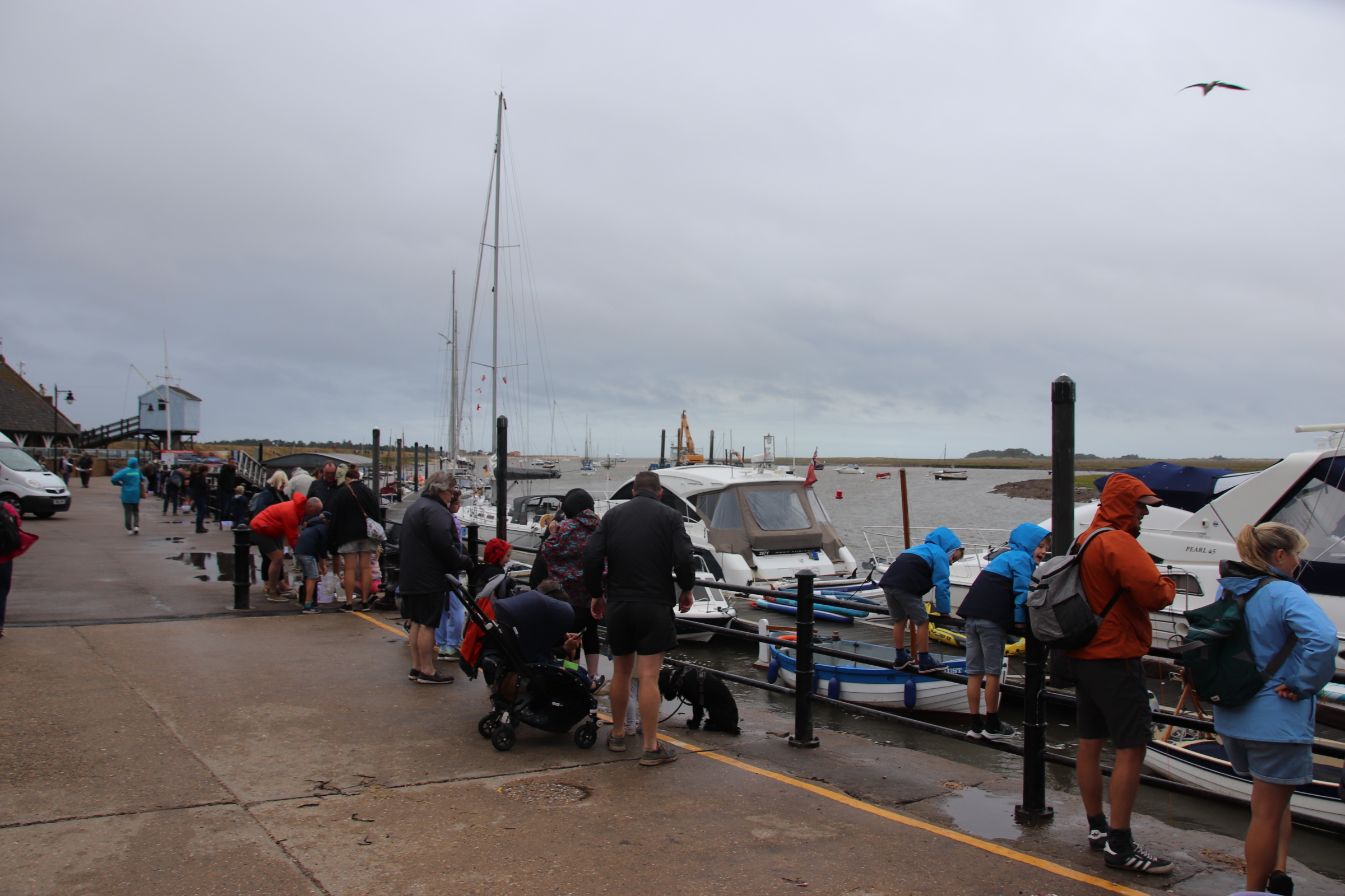
Grey skies, grey weather, grey companions silently stare at the grey landscape through grey windows streaked with chasing trails of snaking droplets and diagonals of shower streams of water. With surprise that anyone wants to leave the warm interior, the bus stops and its passengers push out through the door, out onto the harbour side where others have had the same idea. Car parks are full, the pavement is crowded. Through the gloom, family groups stagger against the drizzle and the powerful gusts of wind off the sea.

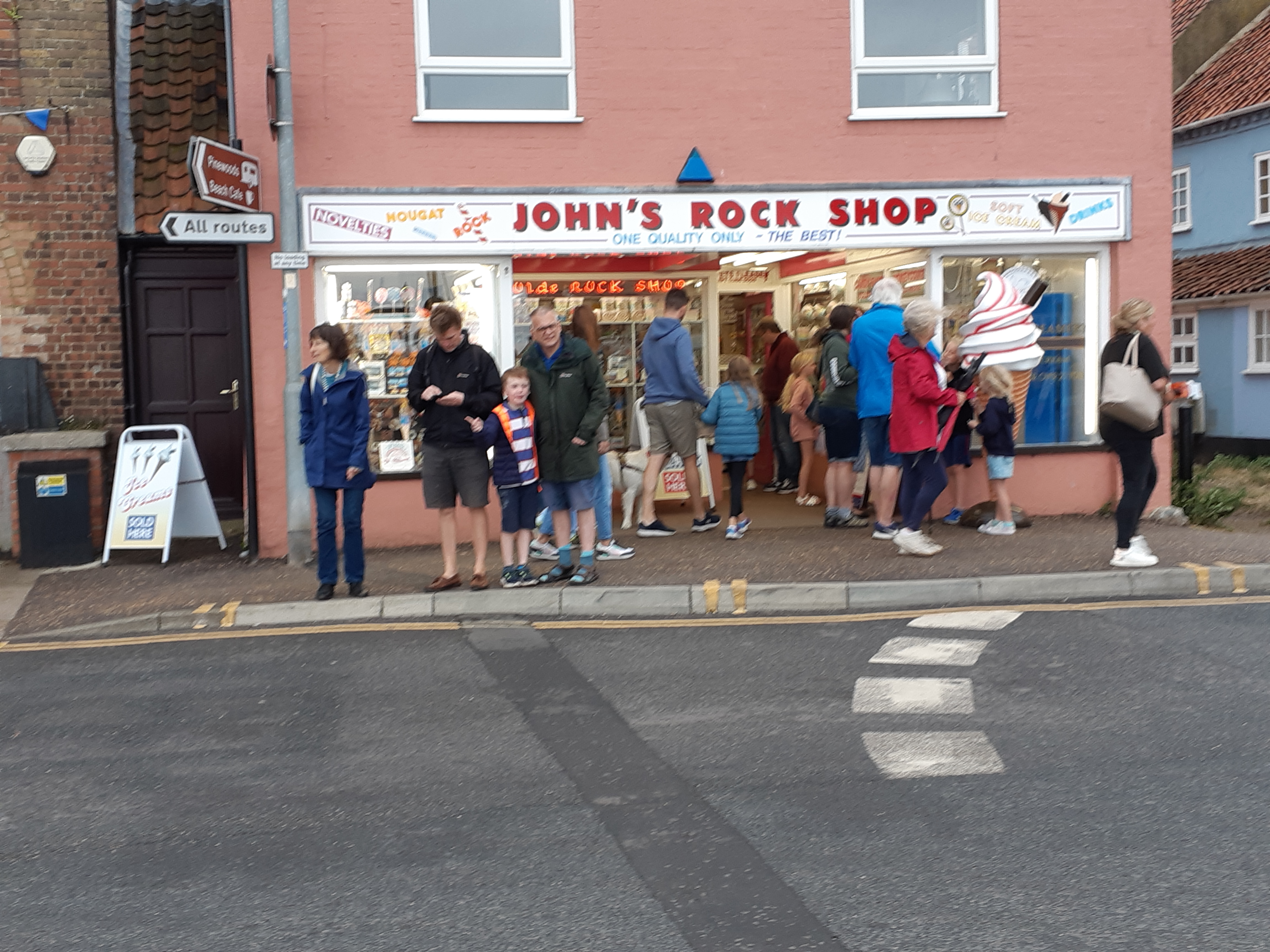
There seems to be a distinct lack of cafes. The condensationed windows of the occasional shop unit give a clue, confirmed by the queue waiting to enter. On the streets, punters balance trays of fish & chips or erupting cones of ice cream, sourced from doorways or windows.

The main fun activity for young and old, is squelching about in the silt and mud of the bank

or crabbing from the side of the harbour, the latter with guaranteed, successful results.

Intrepid groups set off up the inlet, the promise of the sands and the wonderful beach huts forcing them against the wind.

Making history in King’s Lynn

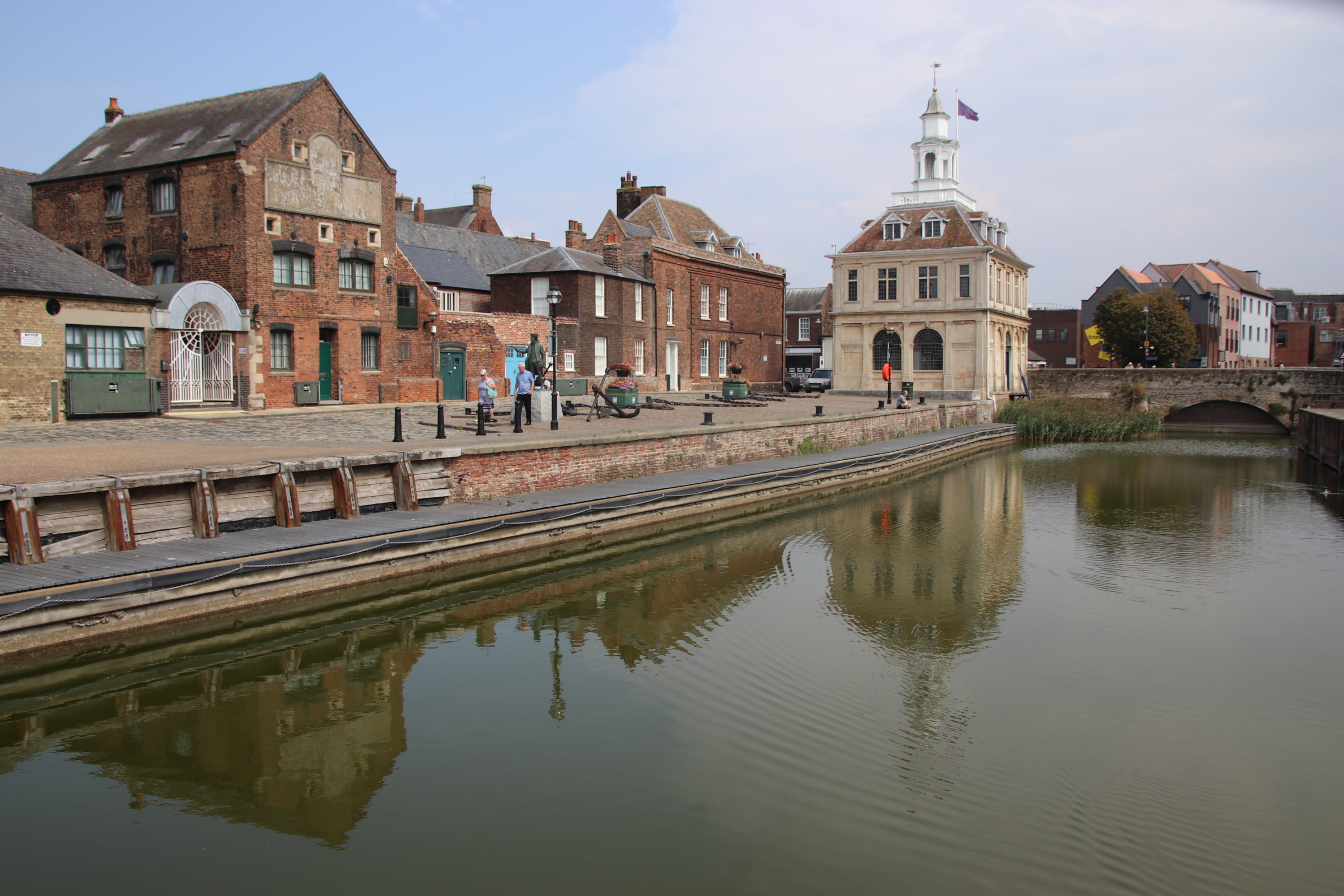
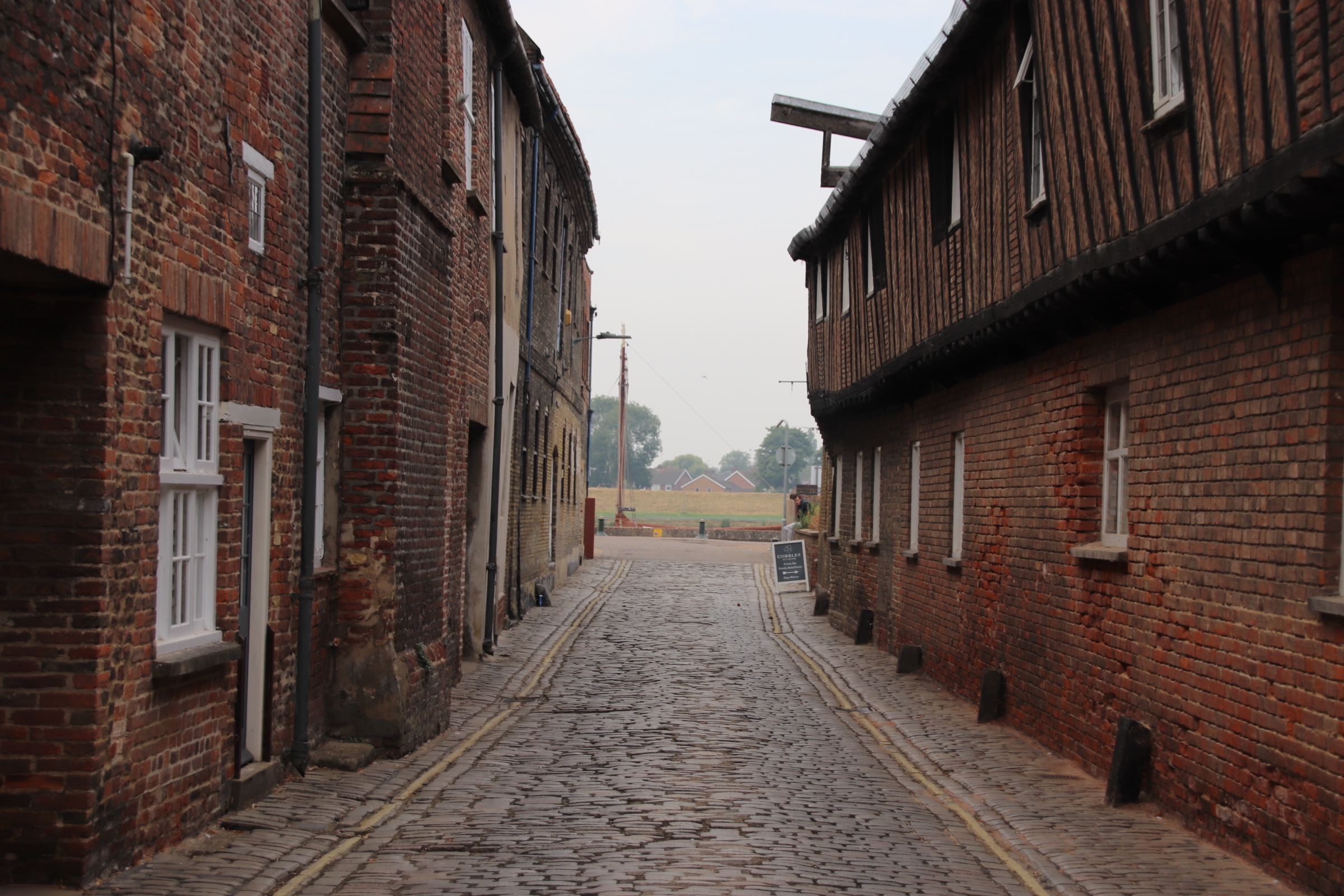
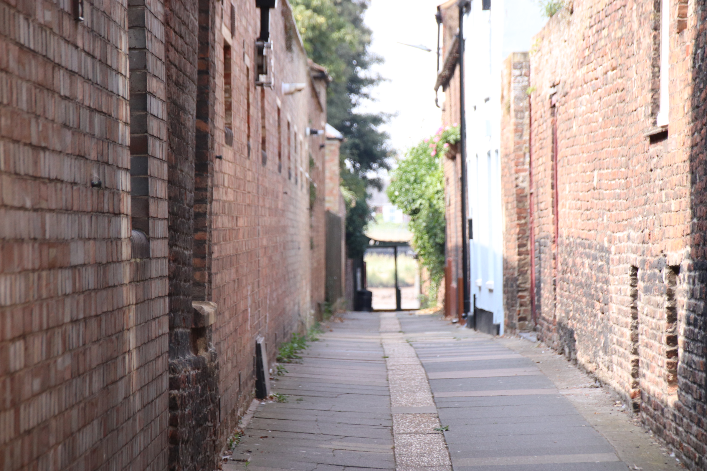
I do like Kings Lynn. A small port town in Norfolk on the River Great Ouse – big in history with a long maritime tradition. The core of the old town hugs along one side of the river as it opens out into the Wash. Here, cobbled streets, grand houses and converted warehouses slowly release memories of trading families & merchants, adventurers & seafarers, fishing fleets & river ferries. Focus here and ignore the tangle of modern shopping and faceless homes that surround it.


In the 13th century Kings Lynn was one of England’s foremost ports, trading as it did with the Hanseatic League, a group of cities in Germany. They came with fish, furs, timber, wax & pitch and returned home from Lynn with wool, cloth & salt. In its hey day, vessels moored up in stacks along the river. The Purfleet provided access into the middle of town and was a safe harbour for vessels of all nationalities. The Custom House dominates the quay side, standing out as it does from converted warehouses, storerooms and offices.

This guy is Captain George Vancouver, a famous local seafarer.

Lynn’s top dog merchants built their grand houses and warehouses on King Street with land running down to the river where the water was deeper so large ships could moor at their private quays.

Merchants showed off their wealth in the form of doorways, door knockers, window frames and warehouses.

Of course, such wealth manifested itself in civic projects as well – the Holy Trinity Guildhall was rebuilt in the 1470s and extended over the years.

The first of the two towers of St Margaret’s Church was erected about 1400 to enhance the church and act as an important seamark for ships entering the Wash. On its face a Moon Clock displays the phases of the moon to aid mariners in determining the state of the tides.

There are two market squares in Kings Lynn, both with charters dating from the time of King John to hold markets. They are, rather unimaginatively, called Saturday Market Place and this one – Tuesday Market Place

Old warehouses await redevelopment.

They may have been completed by the time you visit!

Peaceful slumbers in the heat of southern France

it’s early July. The sky is a perfect blue from dawn to dusk – every day. The mercury hits a daily 33°+. The beauty of a warm breeze through waving trees cooling exposed skin cannot be overemphasised. Grating cicadas are embedded in the background soundscape, the only surprise being the sudden silence when their noisy vibrations cease as they gird their legs & wing cases for another round of heated sound effects.

The land bakes. Rows of vines shadow their clumps of darkening grapes, drawing nutrients and water from the dry soil to nourish their charges into fruity wines over the summer. The harvest has been called in and the landscape awaits a further season of beating temperatures. Humanity shelters behind closed shutters, keeping coolness in and the heat of the day out.

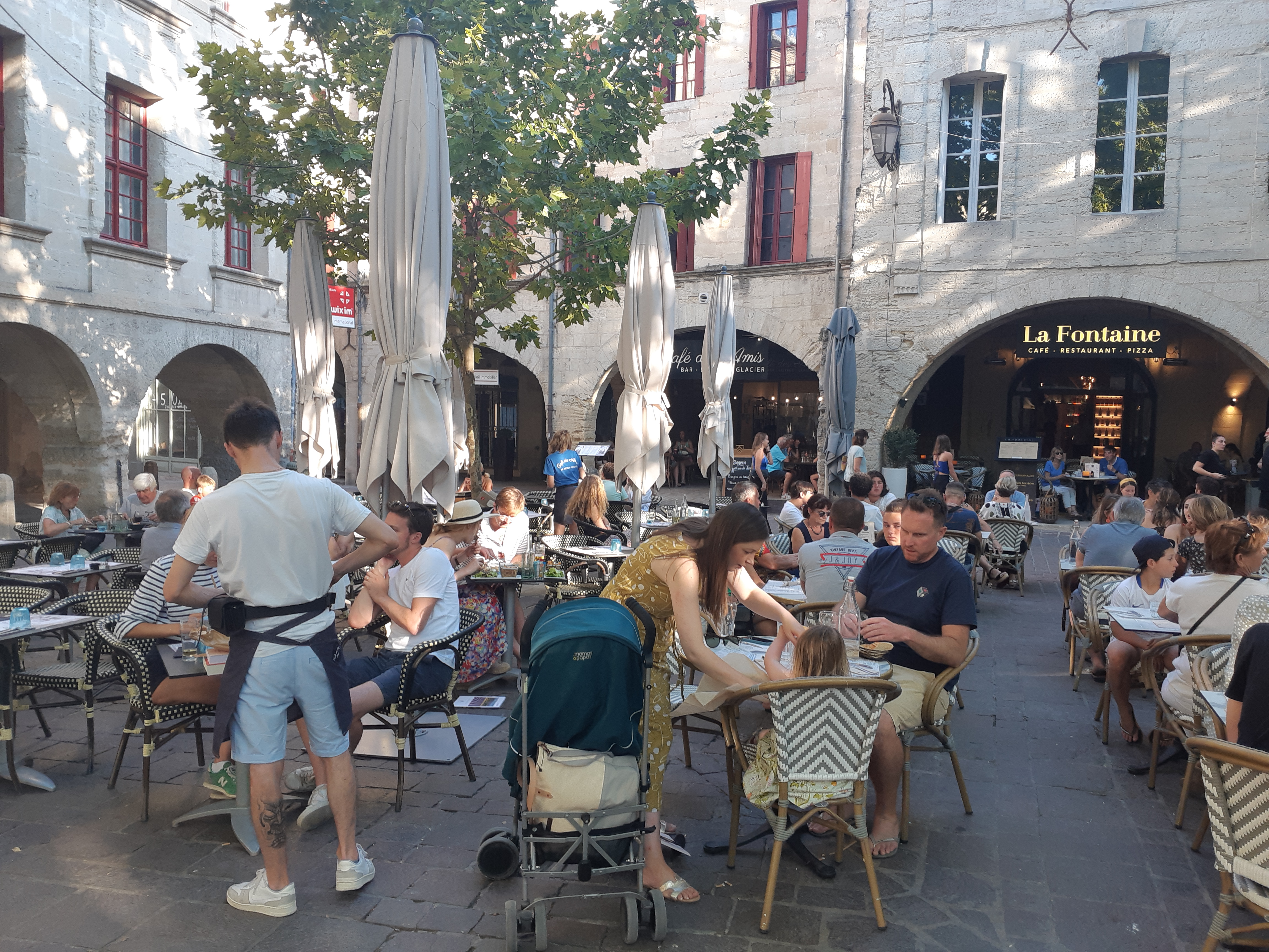
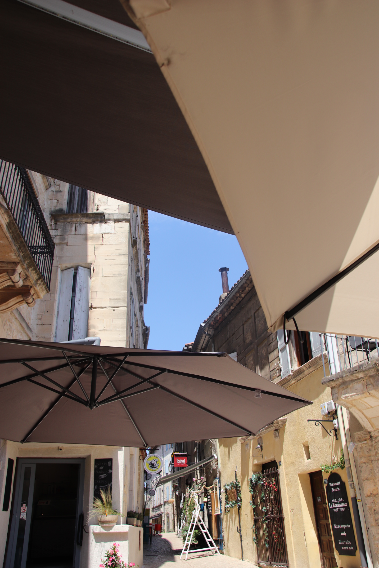
It’s too hot to go far. Finding shade under umbrellas seems a good strategy. And if the umbrellas are in quiet, shady squares of small, quiet shady villages then even better. That means morning coffee, long, simple lunches, a cooling beer at teatime and dining out in the evening until the stars come out. So here are a few places that fit the bill.

Lunch in the small medieval village of Lussan in a small shaded garden run by the village association.

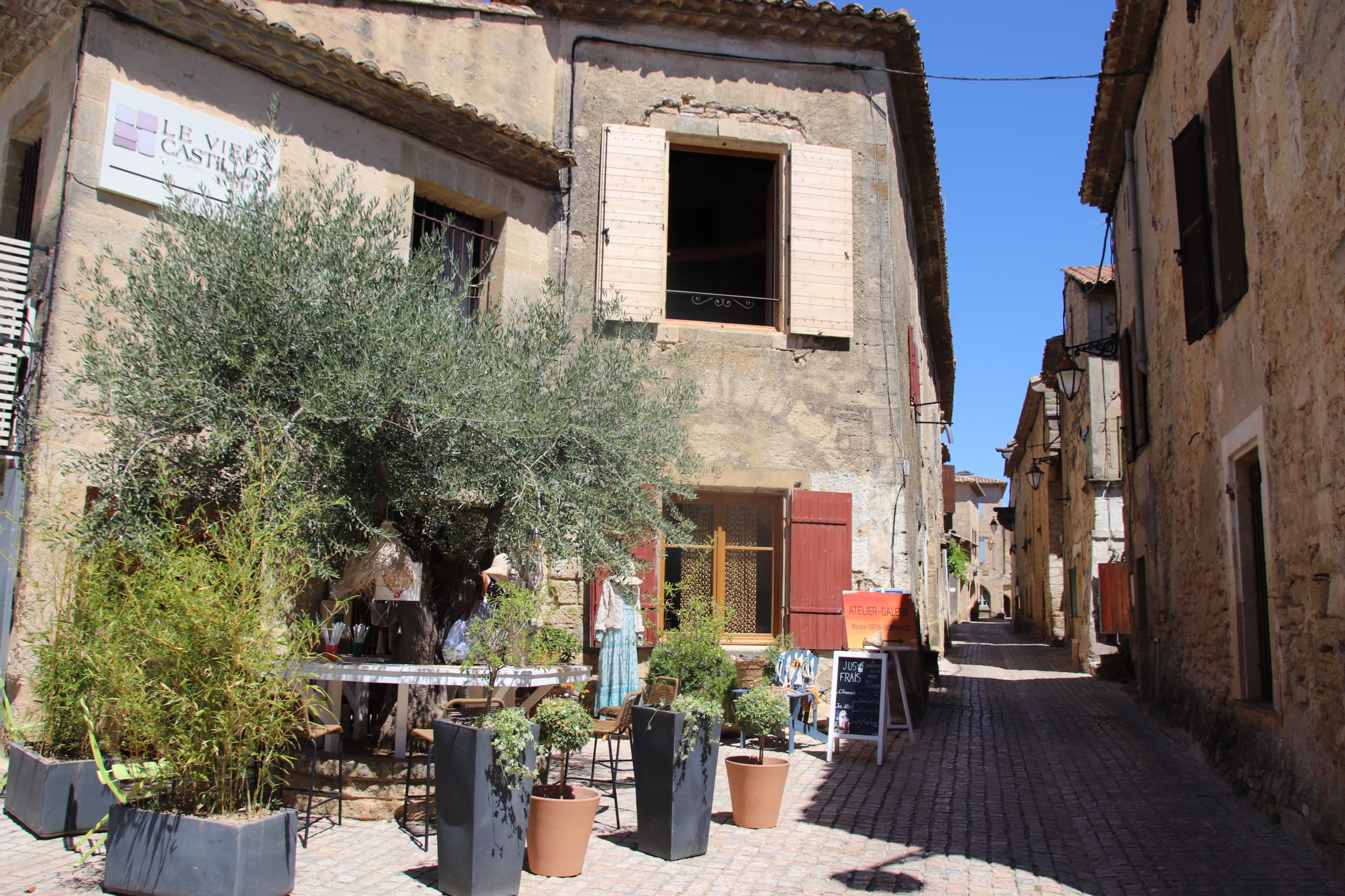
Castillon du Gard, within walking distance has two delightful bistro-type restaurants. One serves tapas at lunchtime and coffe in the morning shade. The other provides dinner with a simple local menu of beef, duck or fish.

Of course, the square in Uzes and the road ring outside the medieval walls has countless eating opportunities. It is amazing how from 6.45pm the whole world and his/her dog, buggy, grandma, lover, mistress, partner, spouse, hen mates & families promenade comparing menu boards fronting empty tables. By 7.05 the square is empty, all tables are filled and everyone seems happy.

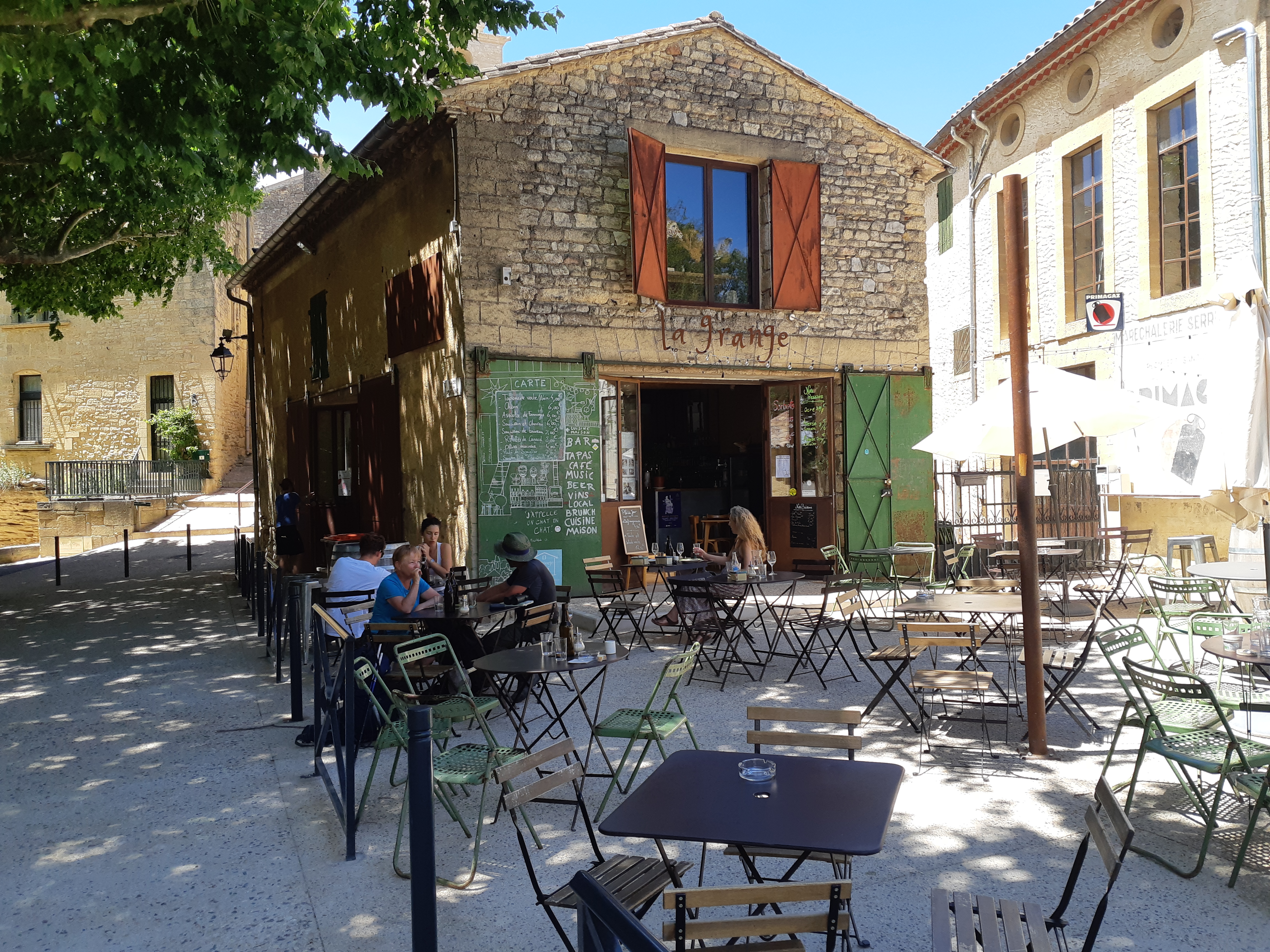
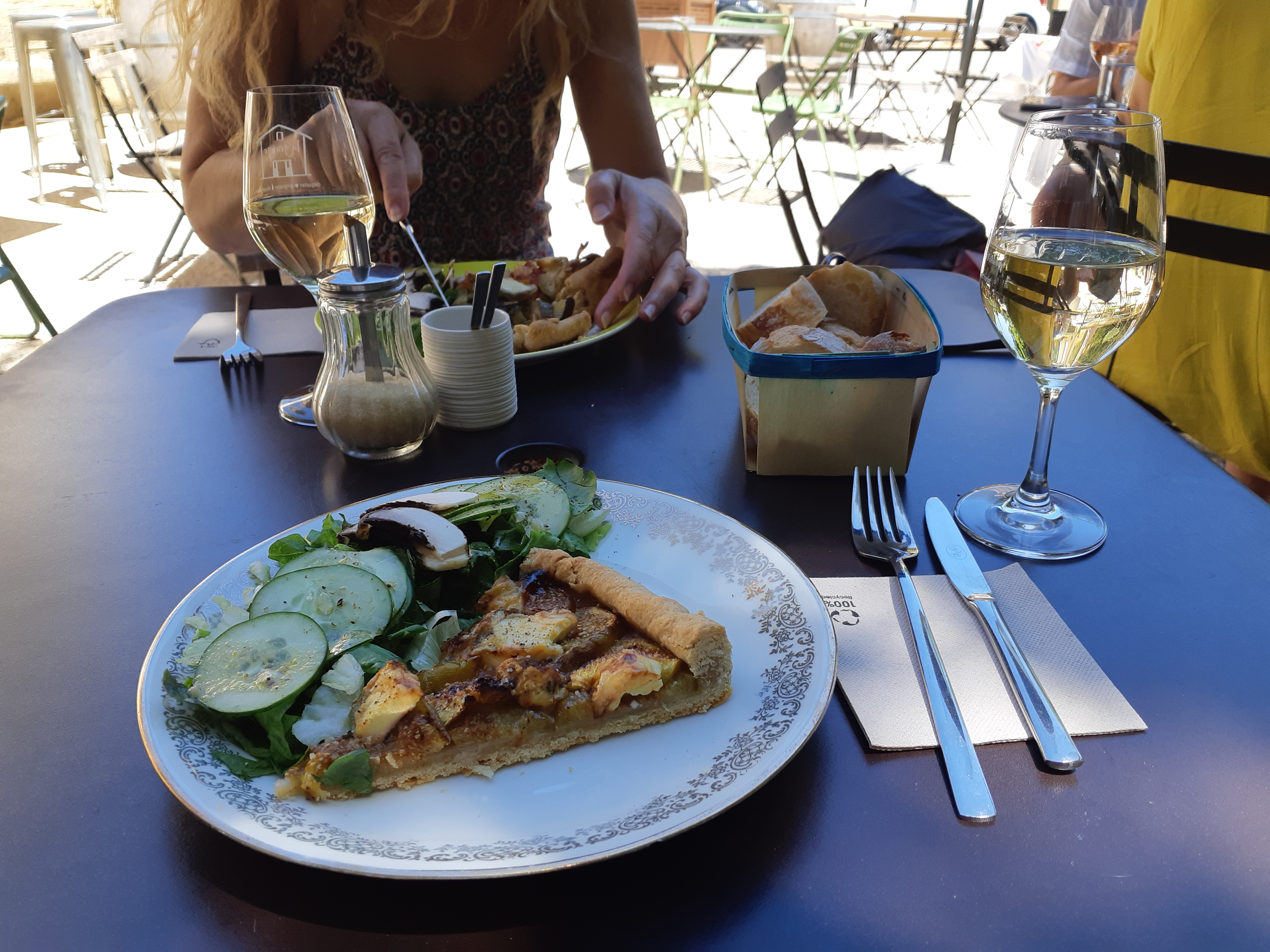
Favourite place – Vers Pont du Gard. A small medieval village with a glorious, plane tree-shaded, gravelled square and washing house. At the edge La Grange, under the shade of the branches or its own umbrellas, offers a friendly welcome and organically produced local food and wine/beer – delicious, peaceful, friendly, tasty. Such a delight 🙂

La belle Gard in la belle France

After years of enforced homestays, as varied and enjoyable as they were, it is with glee and fond memories that I return to the Gard region of southern France and the Cevennes. Flying into Marseille, I am immediately back in my second home – the sky is a perfect blue, the heat oozes from the stone, cicadas chorous their welcome from the trees lining the autoroute. Moving away from the sea, 10 days of heat & peace await.

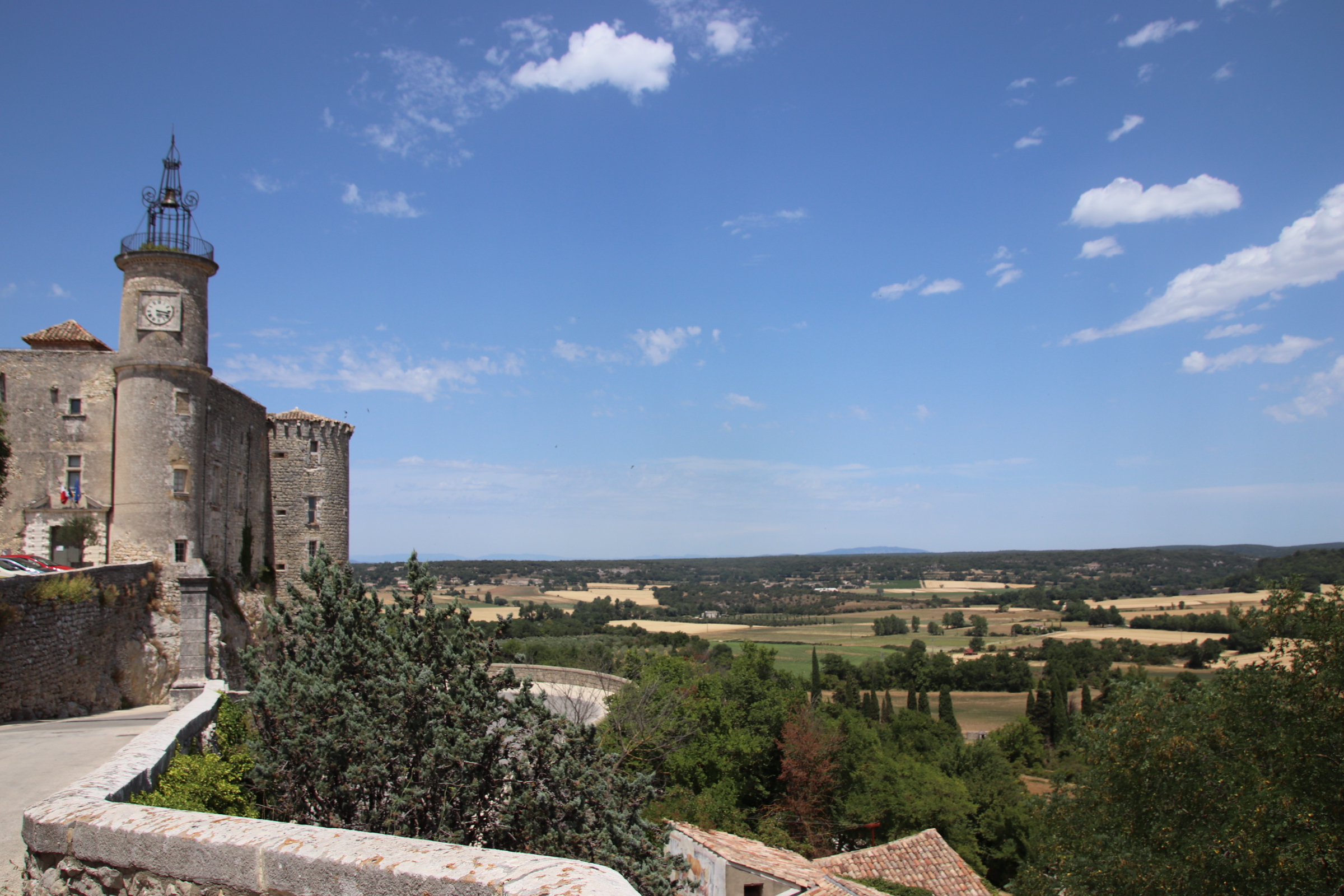
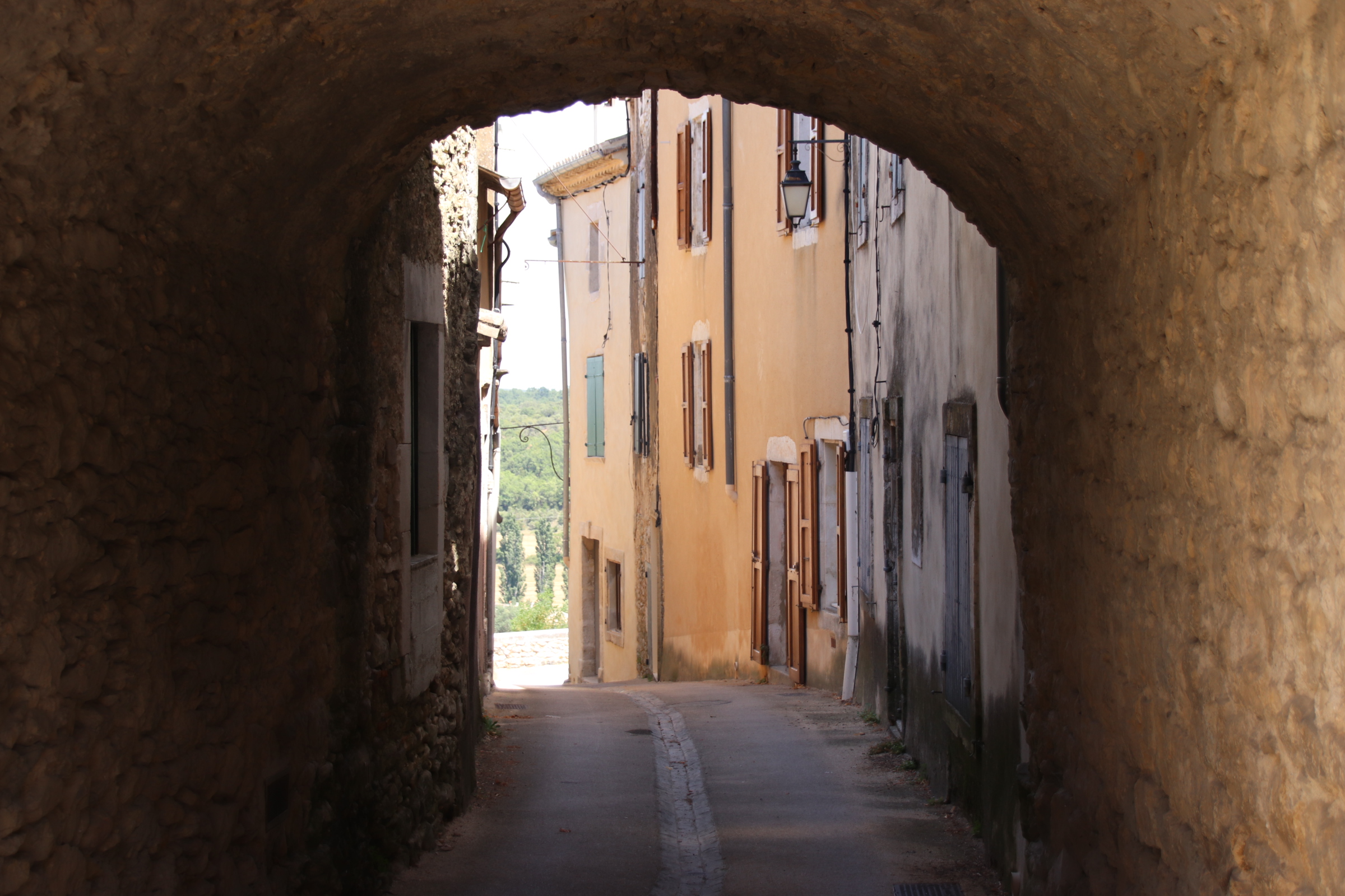
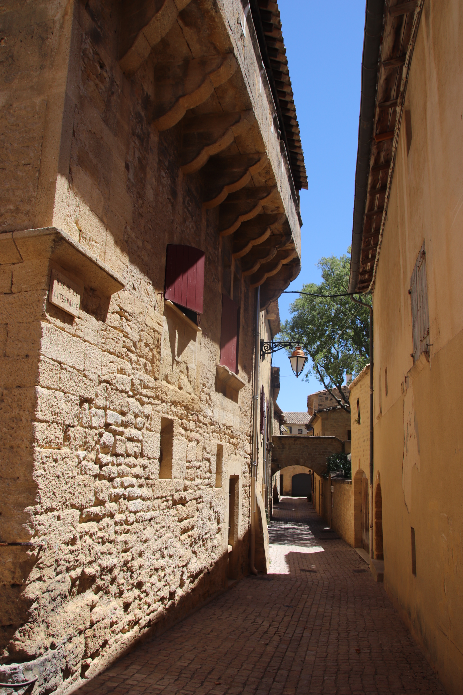
Castillon-du-Gard is a small medieval village that overlooks the Pont du Gard, a Roman aqueduct over the River Gardon that brought cool water from a source near Uzes to Nimes. A tangle of narrow streets interlace themselves around the church and buttressed buildings,leading to rampards that overlook the vines, olives and wheat fields that fill the valley below. The homes are large and feel prosperous as if Parisens and Swiss have come to buy, renovate and stay (which they have).A un-umbrellered cafe of silver, aluminium, sun- exposed chairs and tables caters for a few old boy locals. A very flash hotel/restaurant caters for the top echelons. Two other simple but excellent food places cater for everyone else – visitors and locals alike. There’s also a small alimentation and a very good clothes shop.

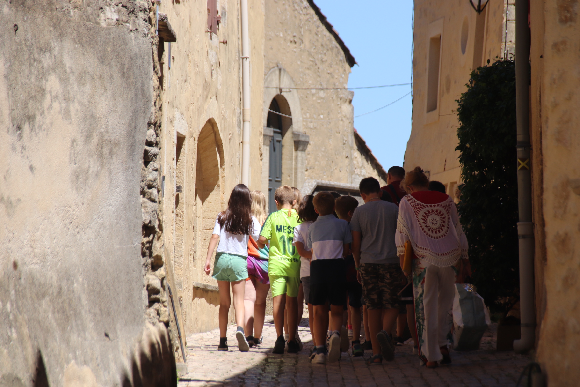
The children from the school are just off out.

Exploring Uzes with its perfectly preserved medieval architecture is a joy of memories of family and friends. Narrow streets lead off the large enclosed market place, ringed by tall buildings that look out from cracks in shuttered windows over bustling market days, squares of chattering cafe tables, truffled restaurants & luminous, slushy ice cream parlours. The canopy of plane trees provide a camouflage of dappled shade over all this activity.

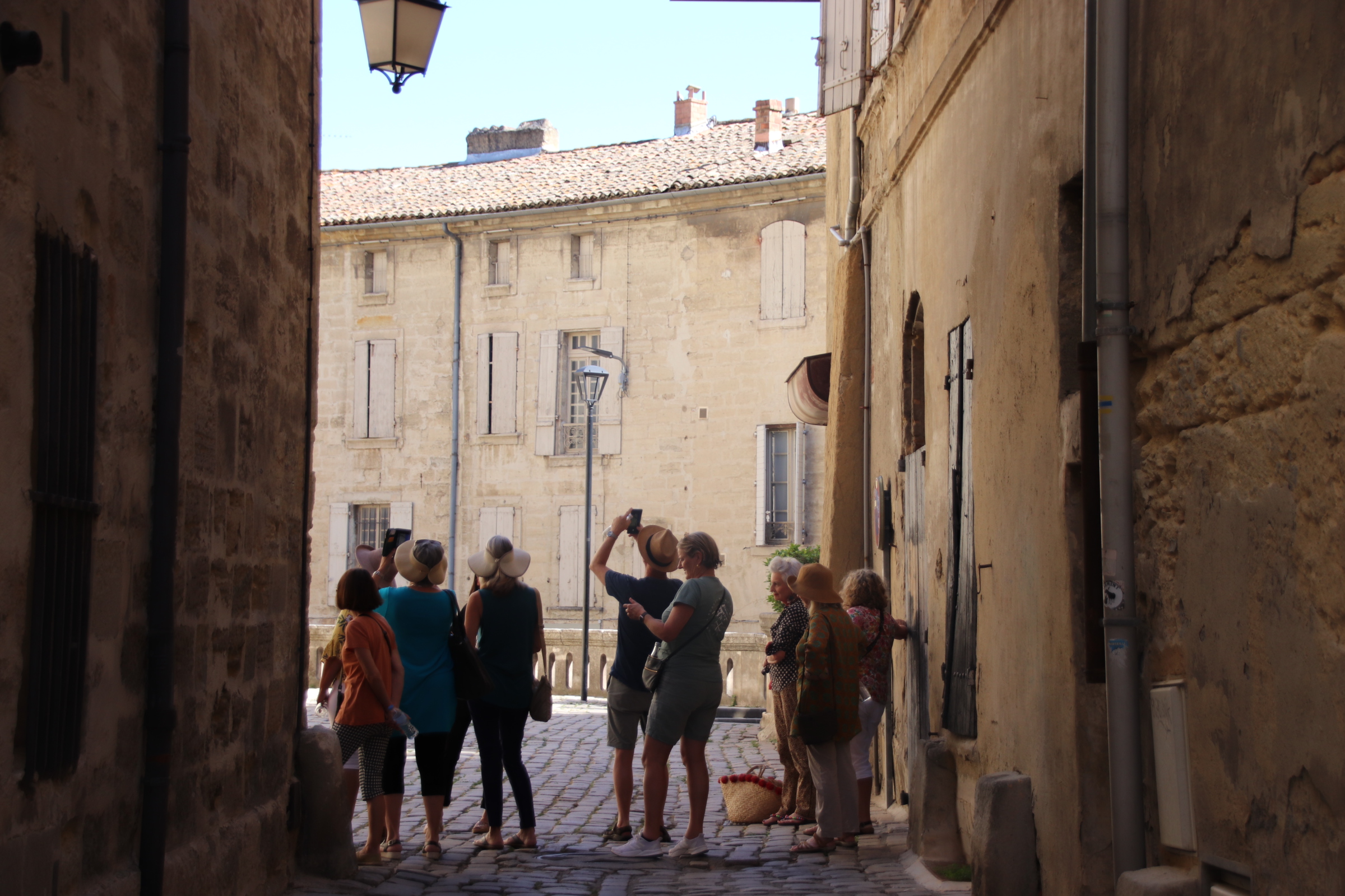
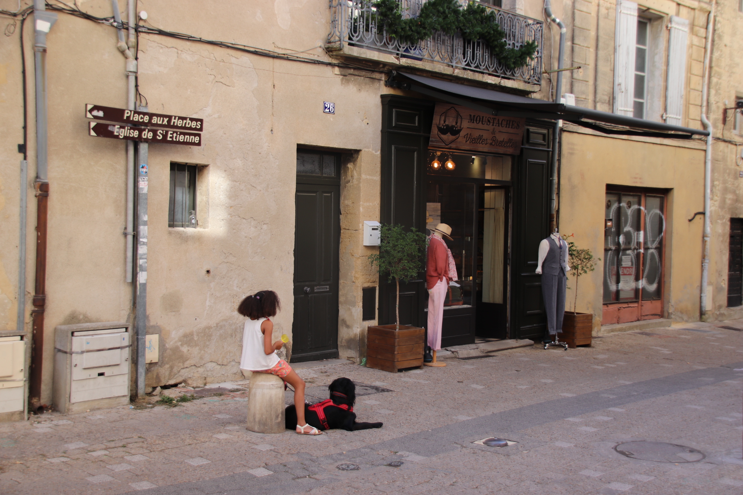
Surrounding streets show off groups of exploring tourists, classy clothes shops (for men & women), local products, cafes, posh cake shops, boulangeries, bars and bistros.

The place has a special atmosphere even if the afternoon sitting in the cafes is slightly spolit by the aroma of fish from the morning market.

And then the return to the Renaissance streets and squares of Barjac with so many glorious memories around bull runs, swimming in Speedos, apricot flans, the Gold River, canoeing the Ceze, naturist pirates on the Ardeche, roundabouts in Avignon.

The heat blasts the back streets, burning anyone prepared to explore behind the square’s branch-covered facade. The access through the huge walls is evidence of shady Sunday meetups for short coffees before separating to find larger covers of cool breeze.

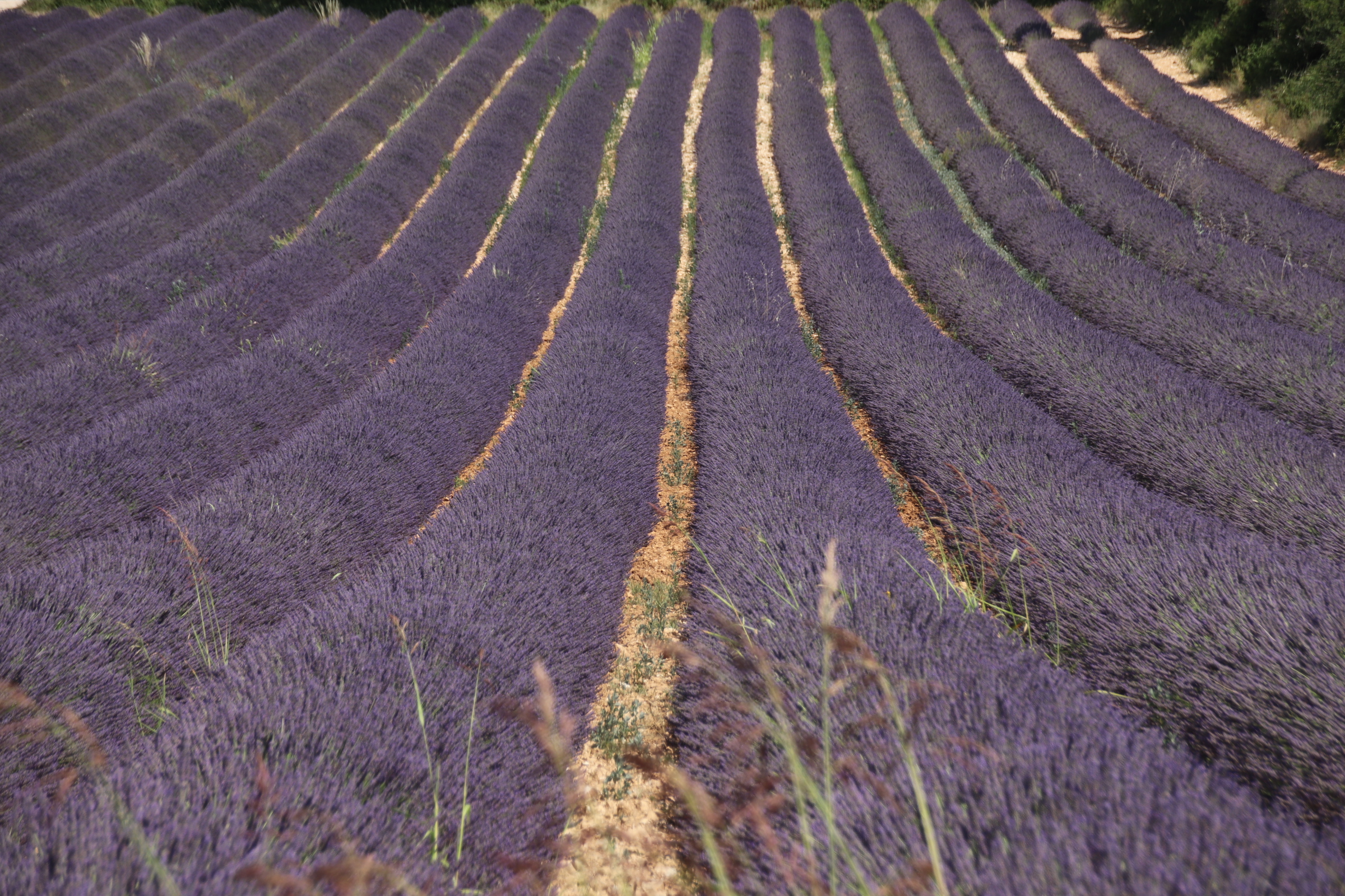
And just for those of you in the know – the buvette is still there, surrounded by Barjac lavender which at this time if year has not yet ben harvested. You can really smell it.

Happy memories 🙂

The streets of Palermo

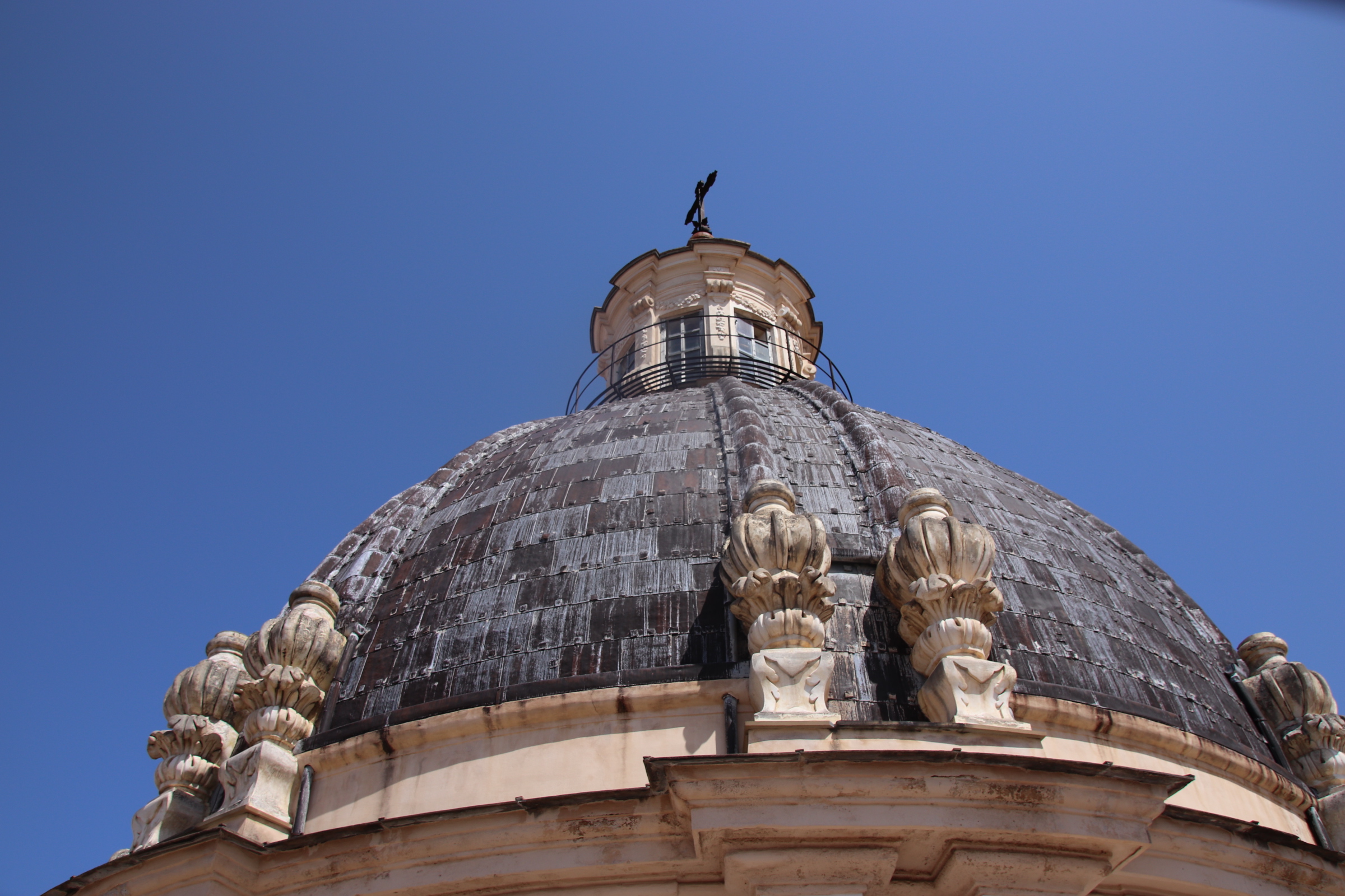
Palermo has a different feel during the day when the sun bakes the city and the priority is to get the punters to spend money on the sights, on food and on drink and souvenirs. The main streets and piazzas are crowded with lines of hot, red-faced tourists following their leaders in slow, overheated processions moving from church to palace to chapel. Domes and steeples reach to the heavens drawing them in to their cool stone-lined interiors.

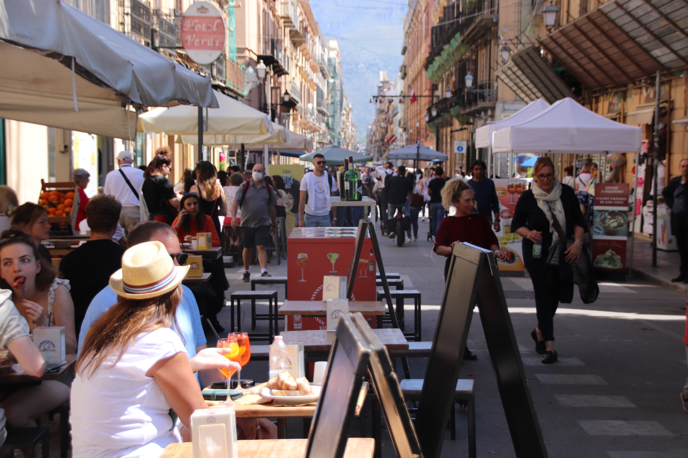
The main thoroughfares have been pedestrianised but are still are a real tussle to negotiate. Restaurants, bars, food outlets, have placed lines of small tables which have a constant turnover of clientele. The multitude of electric scooters skimming their way through the crowds just adds to the chaos.

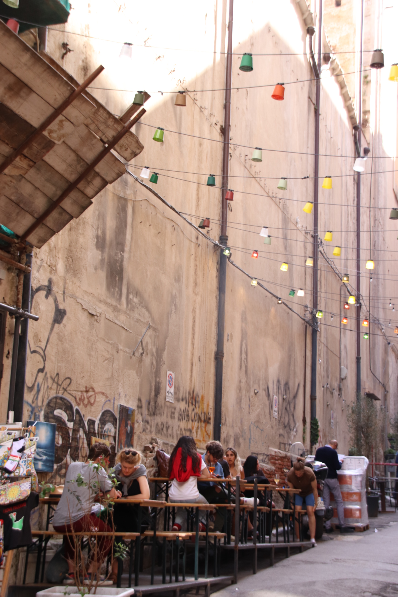
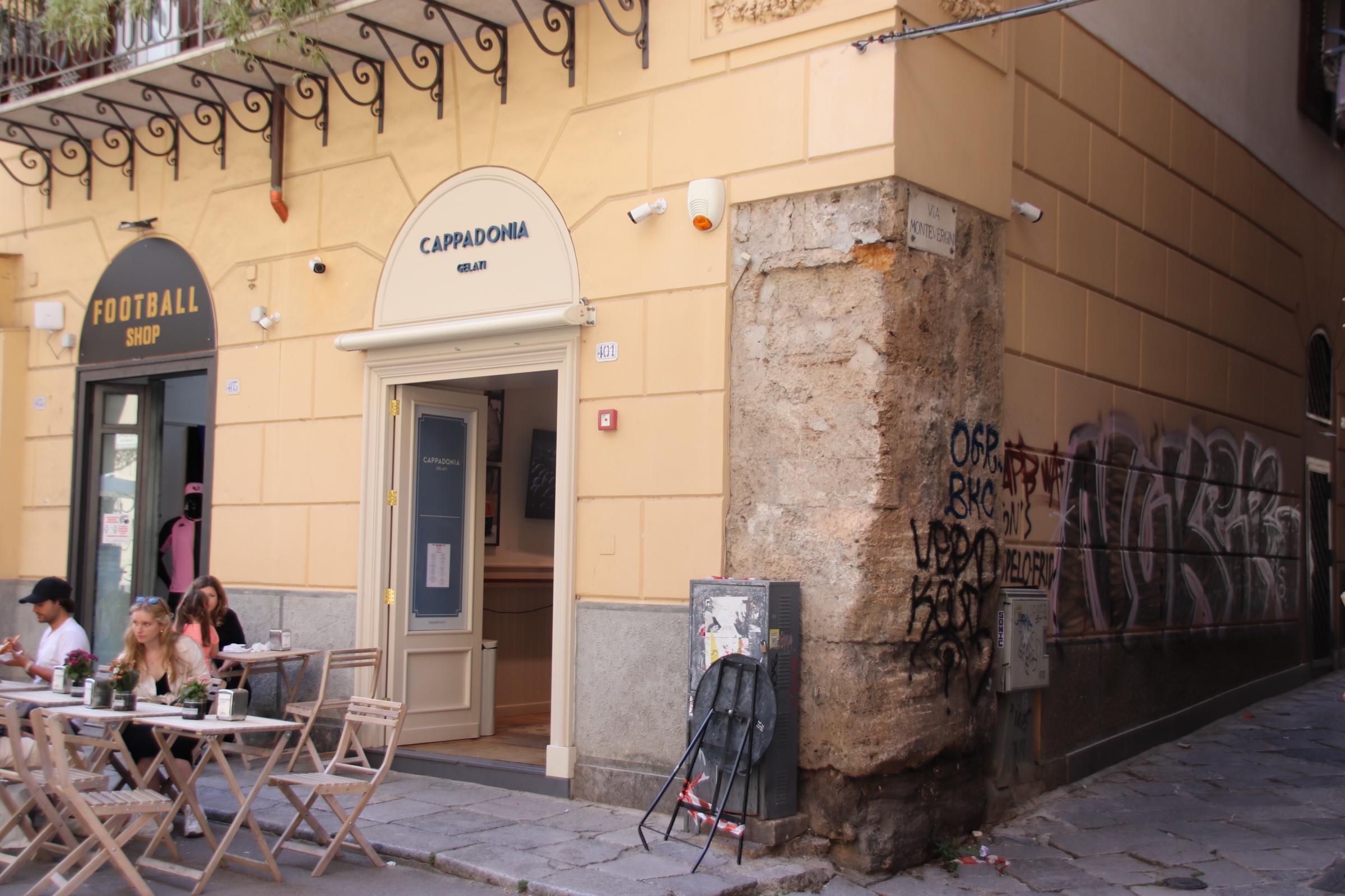
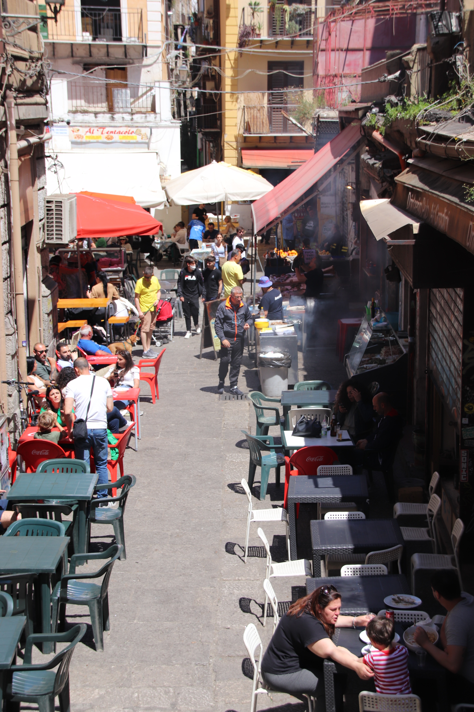
Local life caries on up the side streets – the restaurants preparing for evening service, ‘the best gelato in Sicily’, the tourist tat shops, street markets with their grills and soups, tables balanced precariously to take account of the gradients. Umbrellas of all shapes and sizes provide shade to customers and passers-by.

As night falls it all quietens down a bit and the world starts to relax and gets less frantic.

As night falls the side streets and their communities come to life.

Emptied by the heat of the day, as the air cools the shutters are raised, the tables come out, the workshops and craft houses display their wares and the streets are taken over by a youthful, partisan, diverse community.

Laughter and love fill the air, views are exchanged, passions expressed. Wine and beer flow, tapas and street food served and the evening grabs you in a warm, comfortable embrace.

I love it.

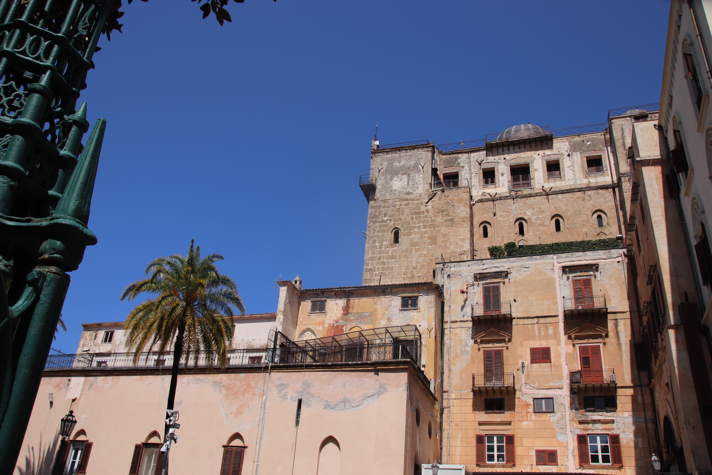
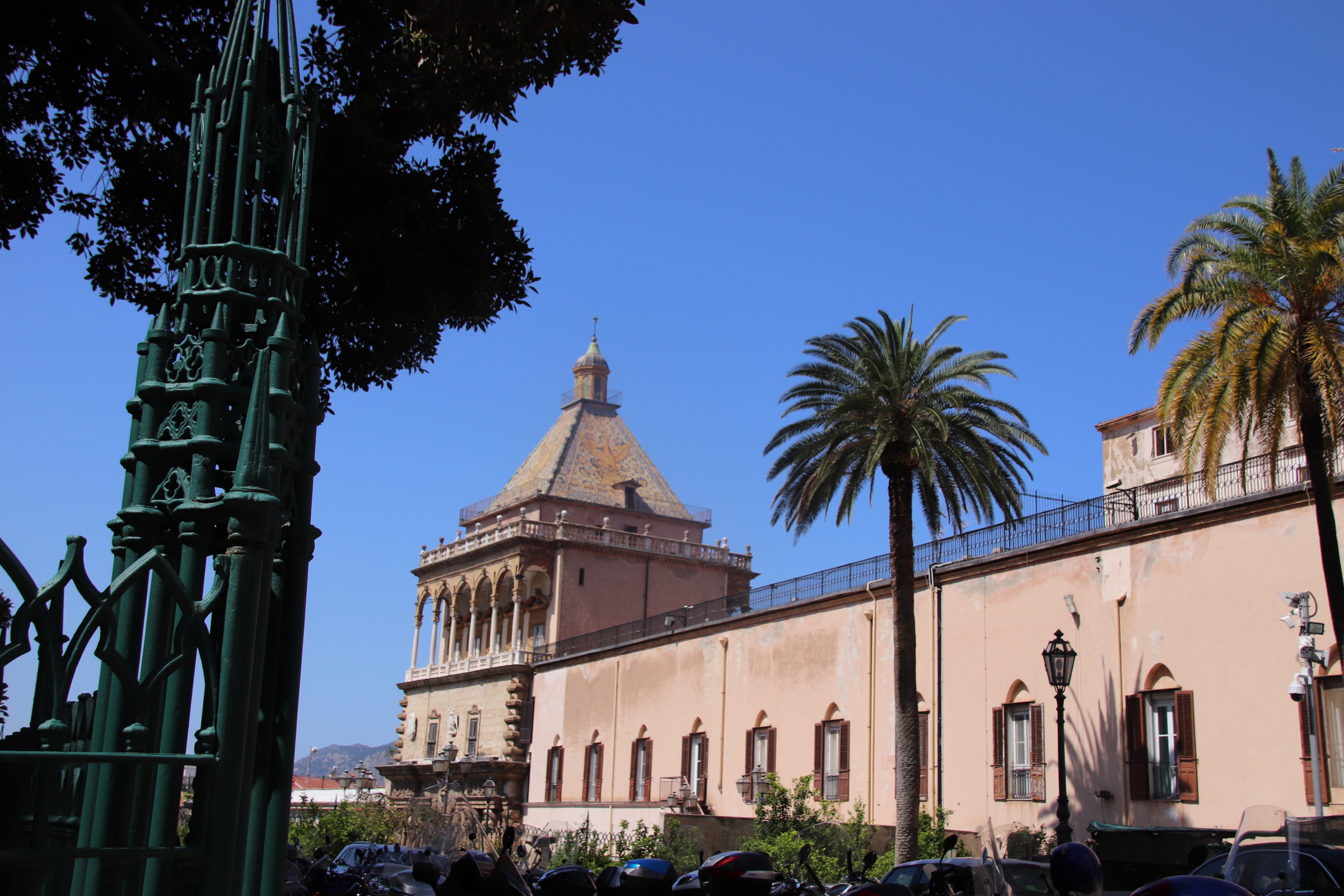
Palermo’s Norman Palace and Palantine Chapel

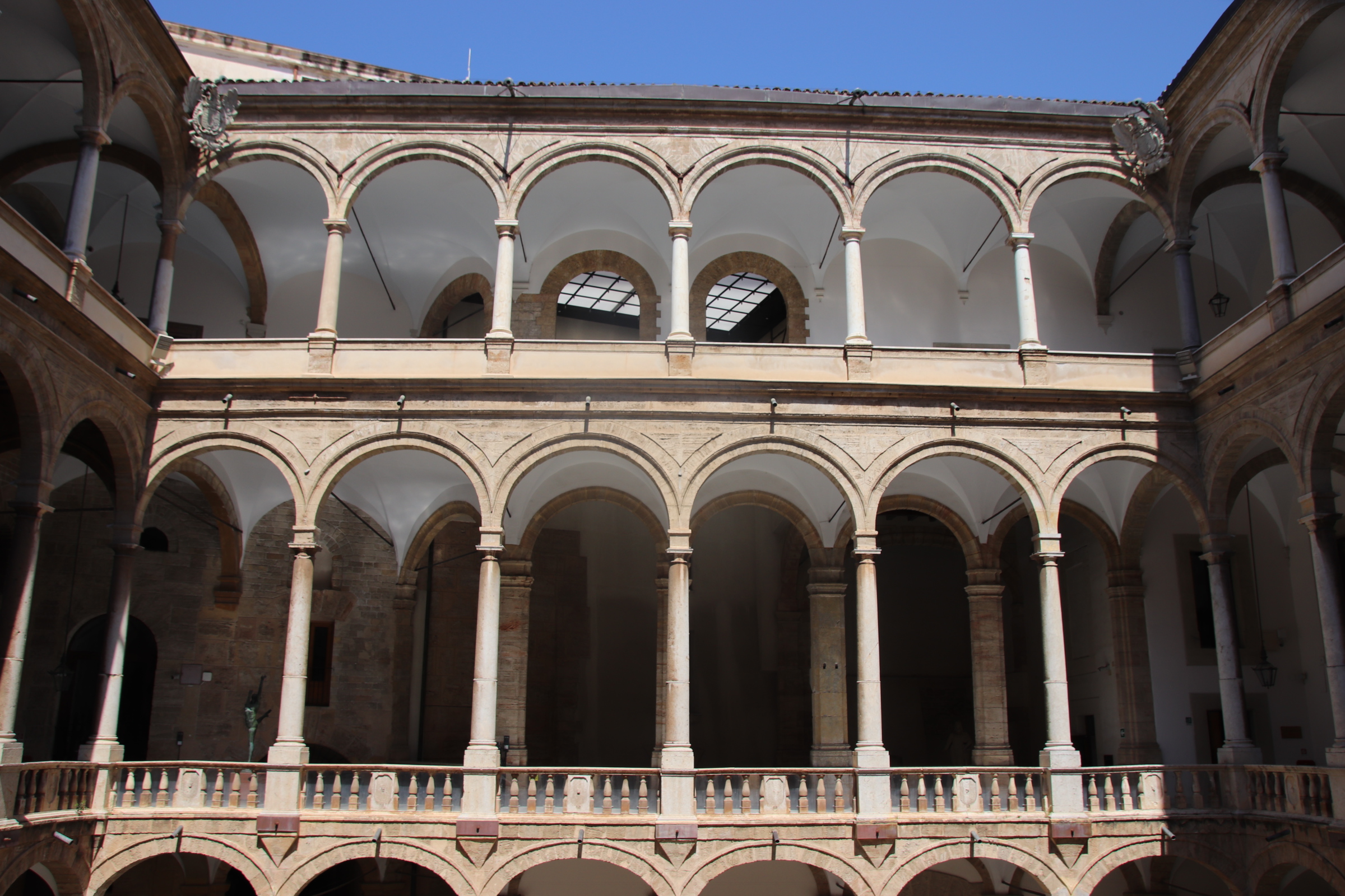
The Royal Palace, also known as the Norman Palace, was built by the Normans who invaded Sicily in 1072 . These are the descendants of the same Normans that crossed to England with William the Conqueror to defeat Harold at the Battle of Hastings in 1066. The former Islamic palace was chosen as their political centre and transformed into a royal residence and an administrative centre.

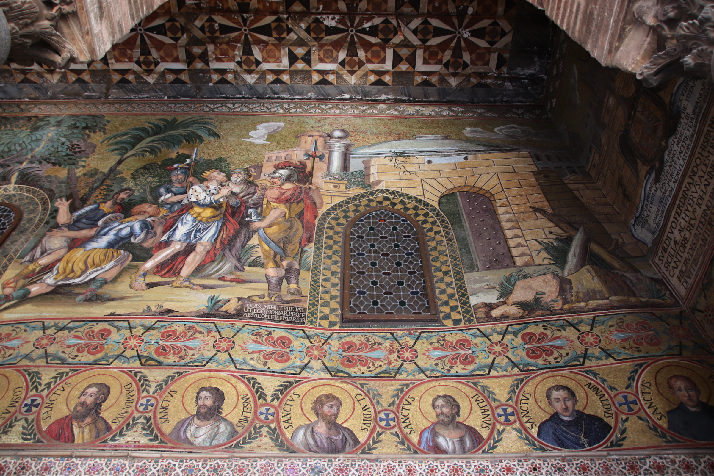
The Palantine Chapel was added in the 12th century.

It is a mix of Byzantine, Norman and Islamic architectural styles which reflects the impact of these cultural influences in Sicily at the time. It was commissioned by Roger II in 1132 and built on the site of an older chapel which now forms the crypt.

It took eight years to build and the mosaics were still unfinished in 1143.

Palermo’s cathedral, churches and chapels

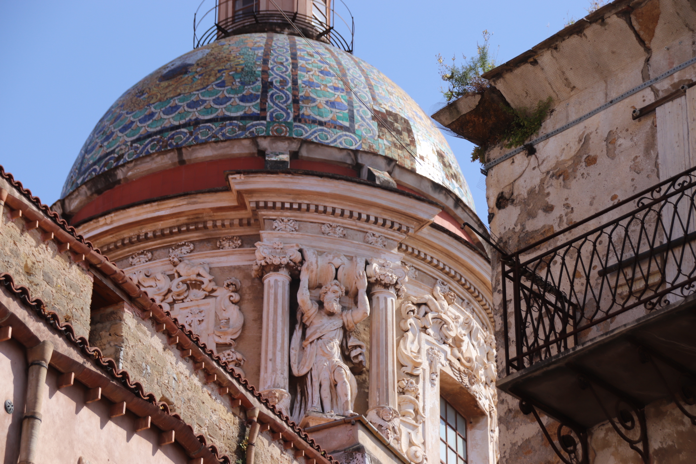
Sicily lies at the crossroads of Western civilisation. Over thousands of years a myriad of empires and forces have occupied the island from Greeks & Romans, Byzantines & Arabs, Italians & French and left a permanent impression on its architecture, culture and religion. The island’s strategic position between Africa, the Mediterranean and the Adriatic gave it a crucial task to protect the southern flank of Catholic Italy. This is reflected in Palermo’s skyline where domes & spires & turrets & towers compete to protect the souls of rich and poor alike.

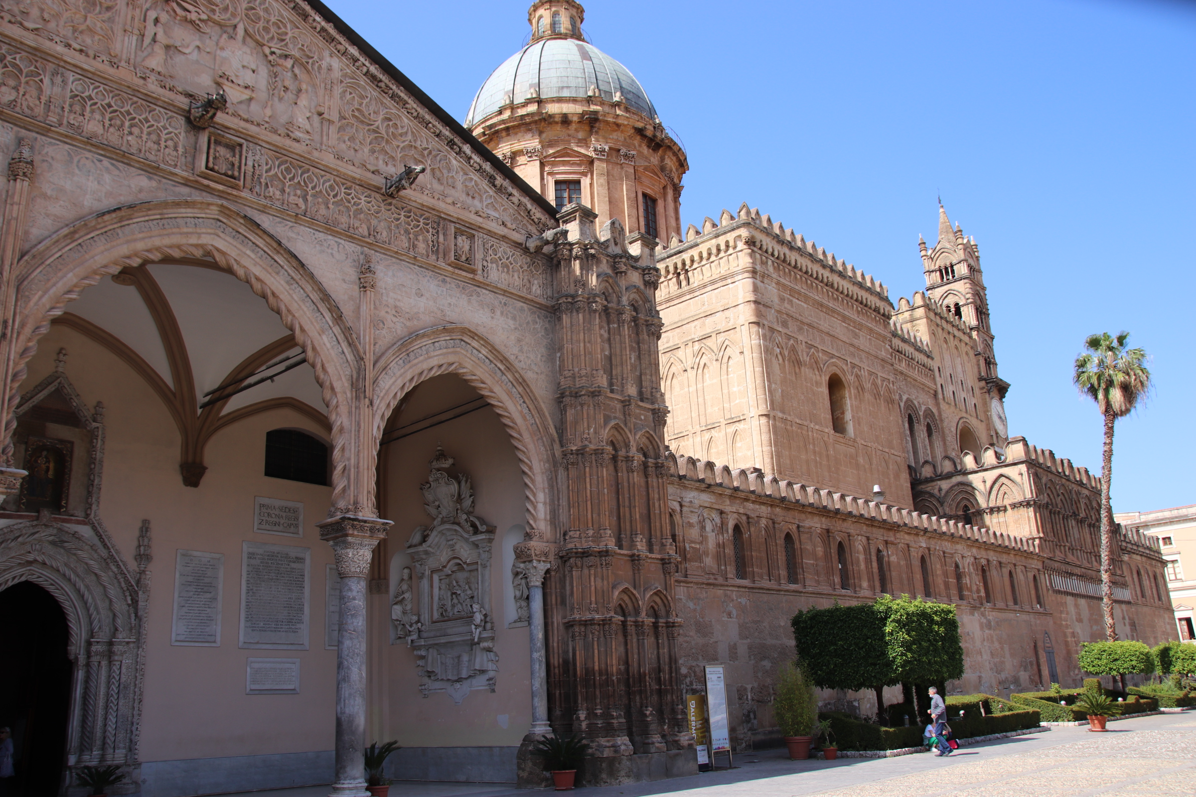
Palermo’s Duomo is a treasure of Norman architecture, built in 1184 as a reconverted Christian church on the site of a Muslim Mosque, which in turn was built on the site of a Christian basilica. Over the centuries the cathedral has blended numerous influences from the island’s history – Gothic, medieval, Arabic, neoclassical into one impressive place of worship reflecting its prominent position on the world stage.

The Piazza Bellini contains three churches. The Baroque church & monastery of Santa Caterina d’Alessandria is a prize for the tourist. The church itself is plastered in scenes from the bible.

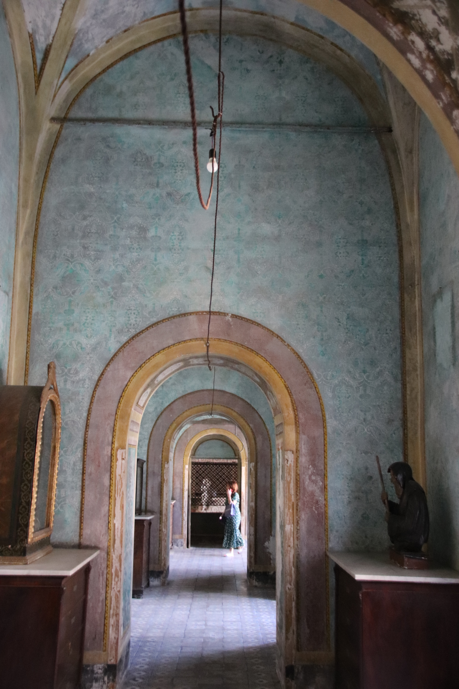
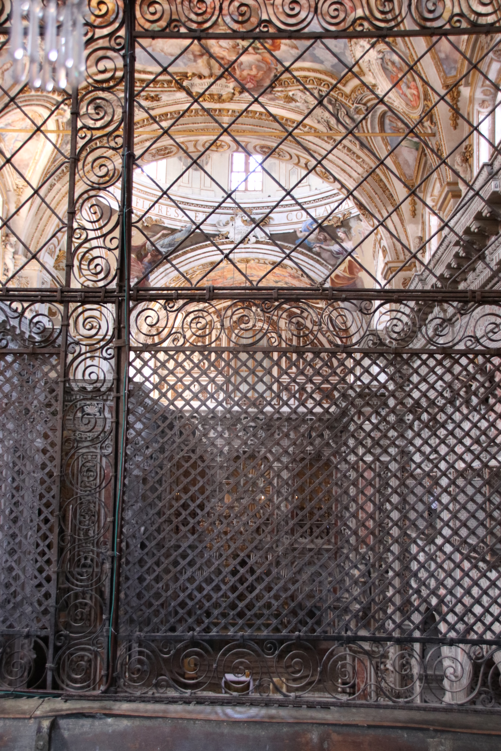
Its monastery, the tranquillity of its shaded garden and cool corridors, provide a peace where monks could contemplate and oversee the prayers through high latticed walkways.

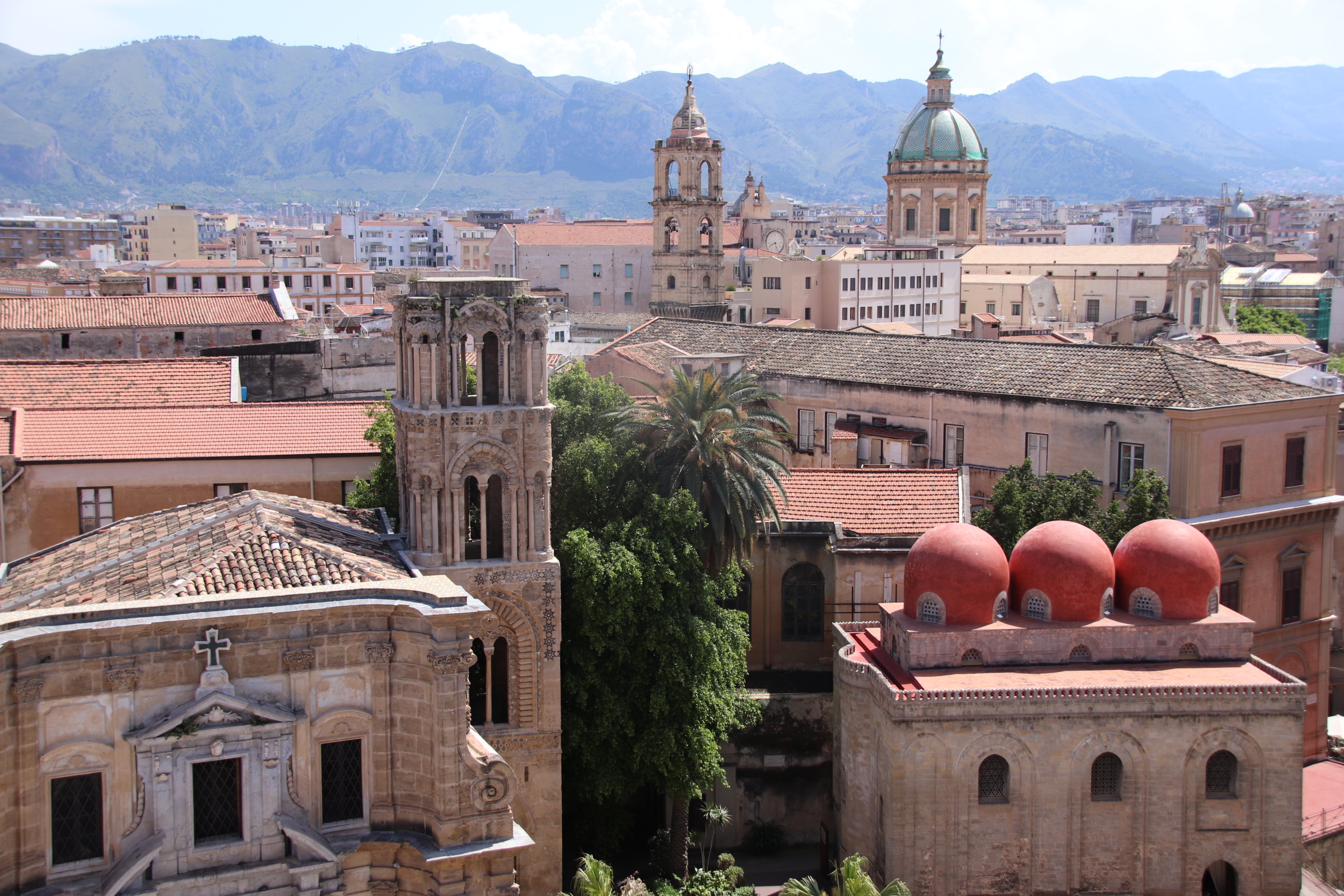
But the best is reached by narrow stairs past the original roof tiles and mortar, now covered with thick timbers and tiles and out onto narrow balconies providing a great vista of the domes and bell towers of Palermo’s churches, chapels and palaces.

Piazza Pretorio can be seen below with its dry fountain ready for action.

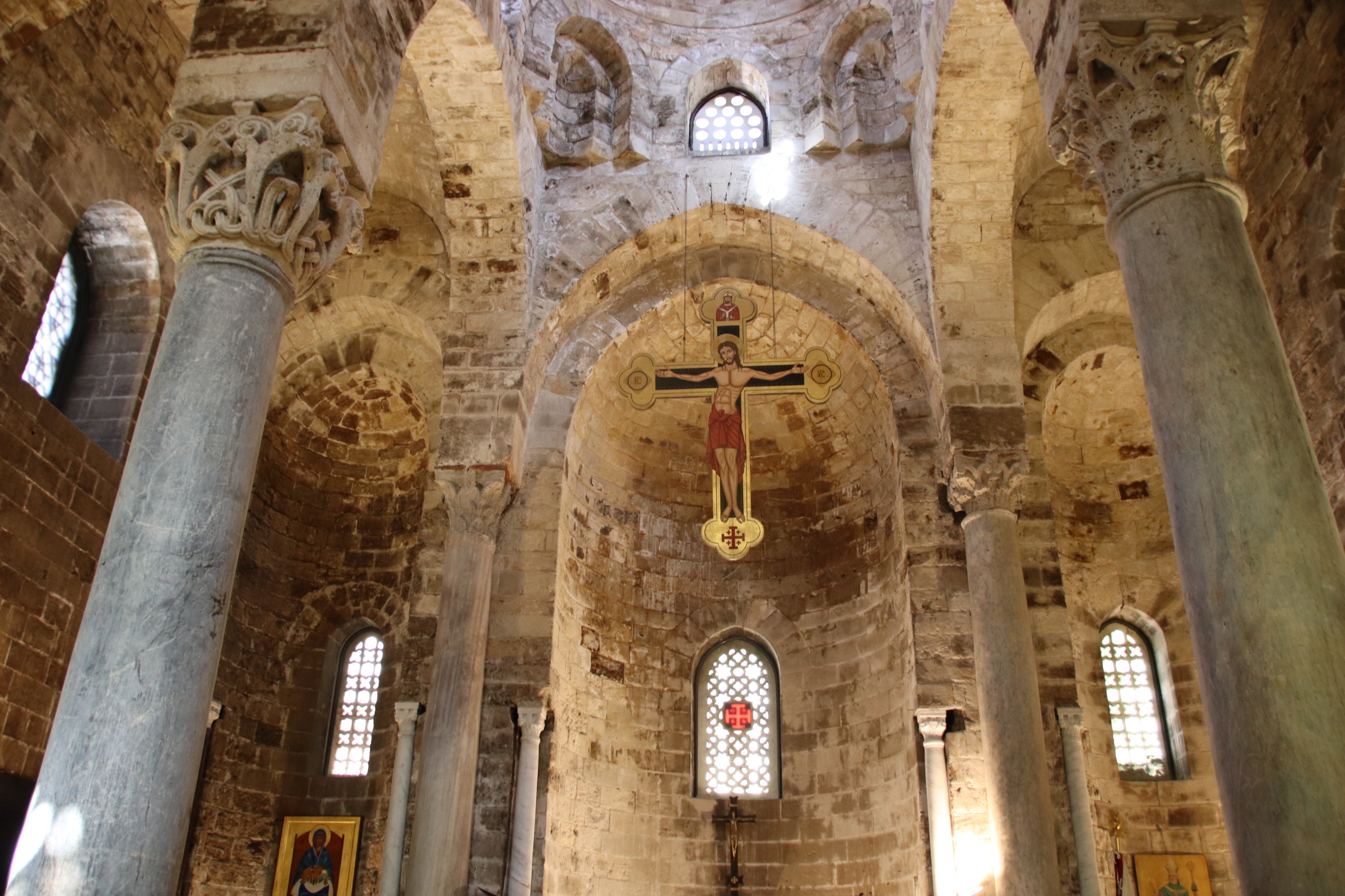
On the other side of the square are two churches, side by side. The small Church of San Cataldo, with its unusual red domes, was built as a chapel in a larger complex of buildings by Islamic workers in 1154. Santa Maria dell’ Ammiraglio, founded in 1140, was built as a private chapel.

Palermo’s tangle of dark streets and alleys hides so many churches and chapels, only given away by a shafted angle of sunlight that penetrates the clumps and lines of buildings to highlight a golden bell tower or an ancient pinnacled cross.

Glorious, magnificent Palermo

Palermo is a little rough around the edges but its narrow, shadow-ravined streets create an artichoke, each bract peeling away to reveal so many golden hearts. Yes, it is dusty, yes it is noisy and crowded, yes, the sun only reaches through the stone and mortar to bake the ground at midday but this place has character, has splendour, has a huge, strong pulse that sucks you in to appreciate a gallery of fading old masterpieces.

This Palermo reflects the main events of centuries of European history since biblical times, painted in its own hues and colours and boasting of its importance and influence.

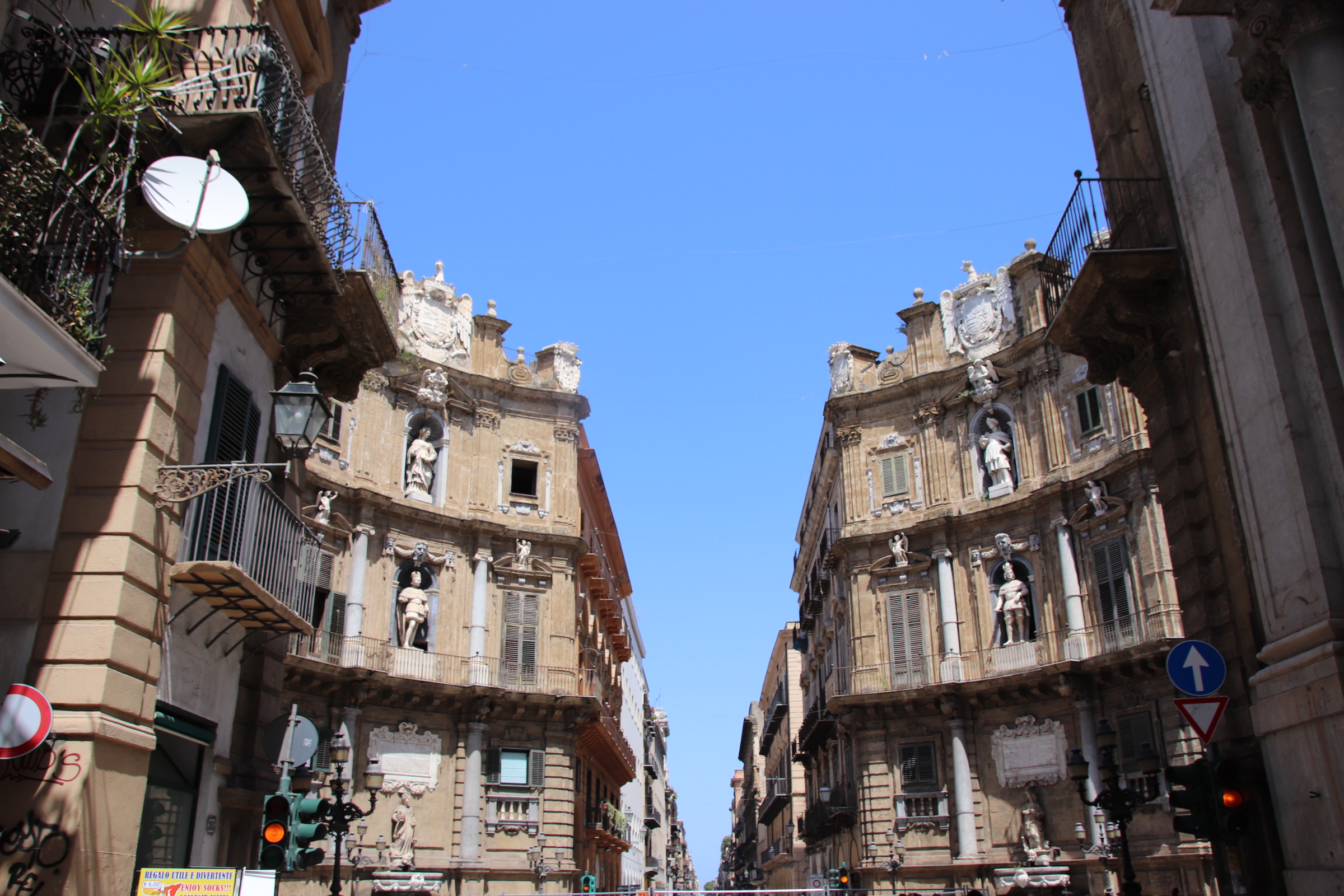
The size and scale of the place is overwhelming. 4/5/6 storied buildings line every main street that crisscross the city. All are decorated in carvings of plaques or shields or plinthed statues or groping vines, plants, fluer-de-lys and tower above the pedestrianised routes, towering up to lord their power and position over the rest of us mere mortals.

Filling in between the axis of roads is a tangle of cobbled alleys and streets that have for centuries jumbled up together in a hotch potch of cultural, economic and religious communities. Around sharp corners and through carriage-sized gateways, piazzas, courtyards and squares reveal churches and cathedrals, palaces, mansions, galleries.

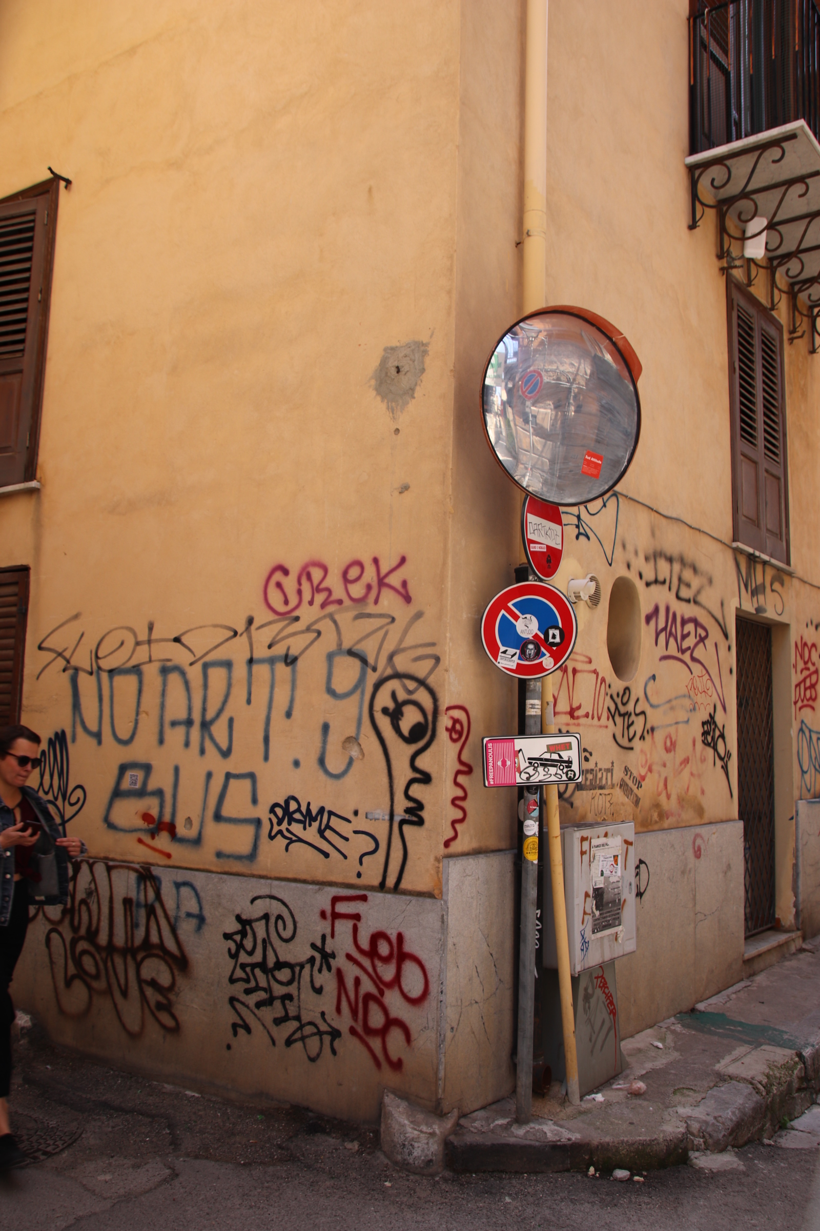
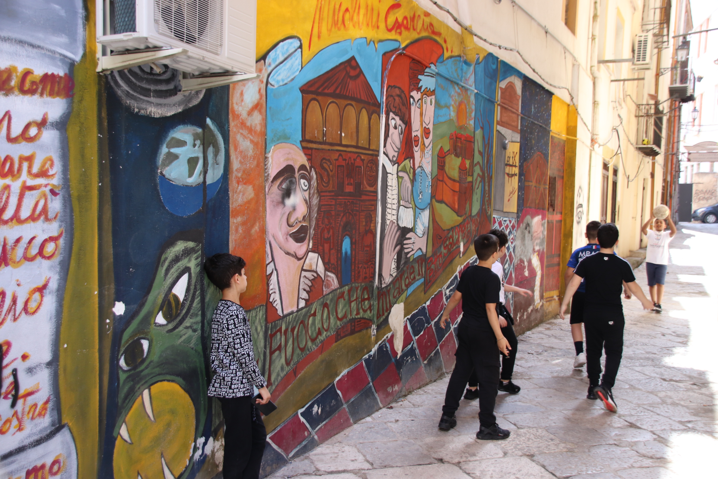
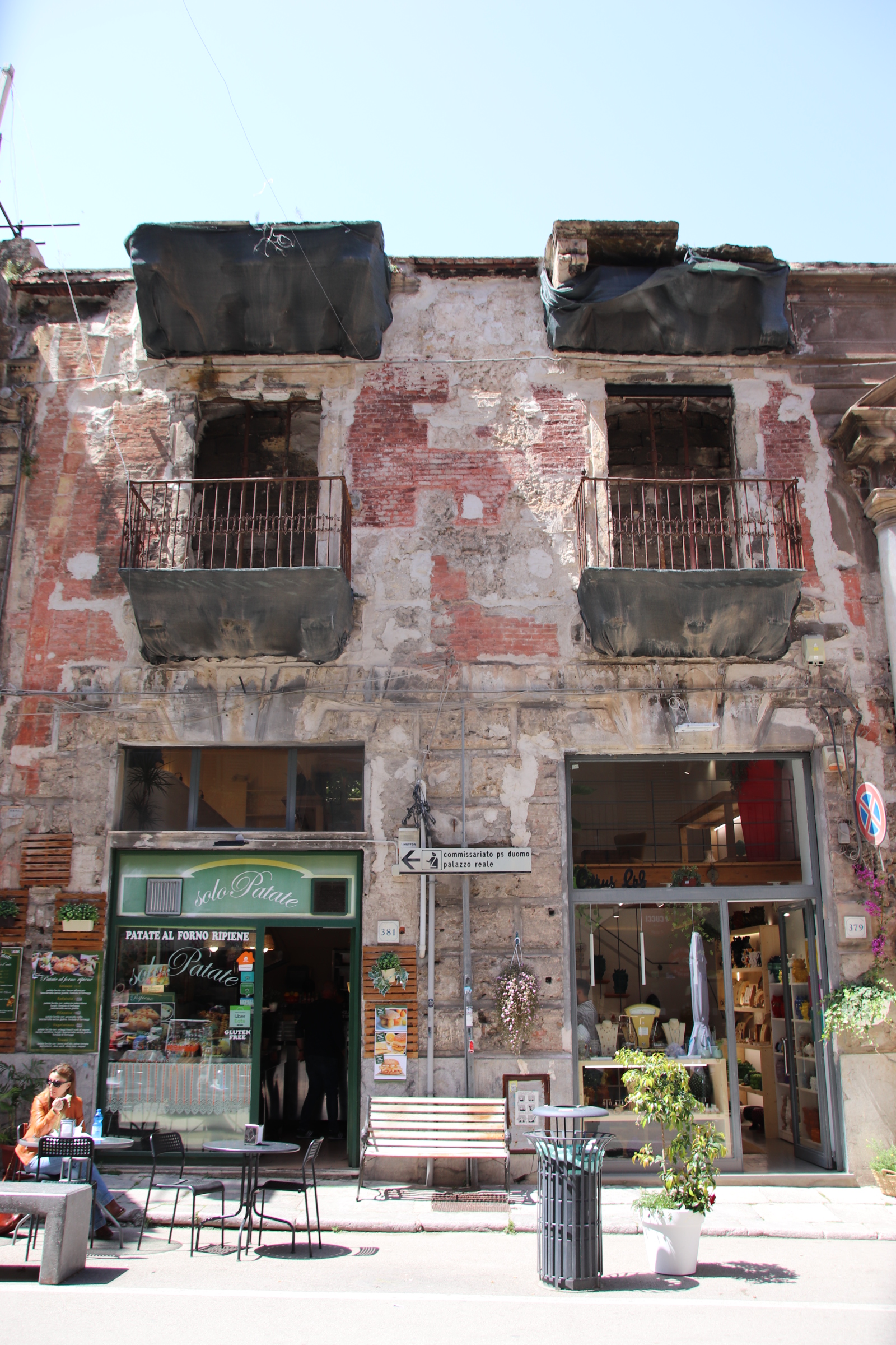
These contrast with the Old Town where, with outstretched arms, you can almost run your fingers along rough plastered, walls and lurch through the pot-holes and broken surfaces between narrow tenements. The graffiti is charming and informative and adds even more character to everyday life.

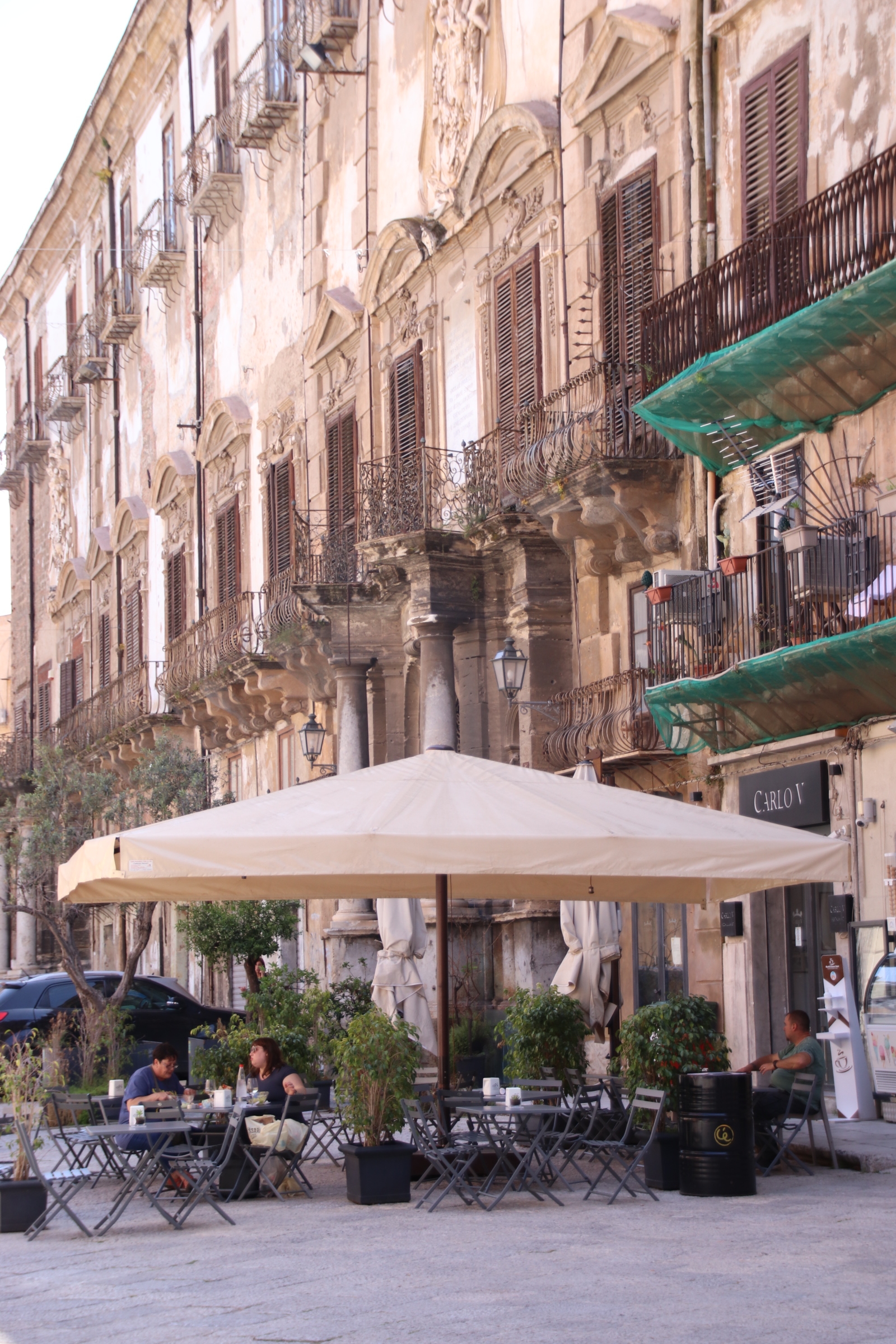
In these communities the piazzas are more like open parks with local bars and pizzerias around the edges where locals spend their time in the cool of the day doing their own thing.

Breakfast in Cefalu, Sicily

This quick week away to Sicily is an opportunity to regain the flavour of the Italy that I love – the culture, the history, the wine (oh the wine), the food, the sun, the history, the families, the gelatos, the coffee. Am doing it slightly differently this time – once I arrive all journeys will be by public transport … and feet. I can leave all that driving stress behind and just enjoy the place. Initial journeys from the airport to Palermo and beyond have been booked from home and safely stored on my phone. You can book journeys all over the world at any time, on Trainline.

Once through and collected bags, it is a 30 second walk to platform 2, where the first of several punctual train awaits. In Palemro Centrale it is a hop to platform 4 and the service to Cefalu.

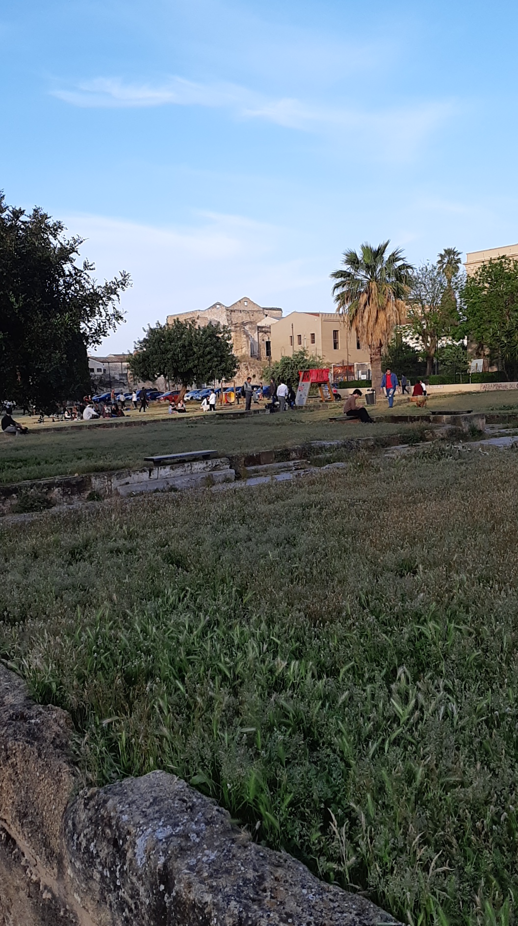
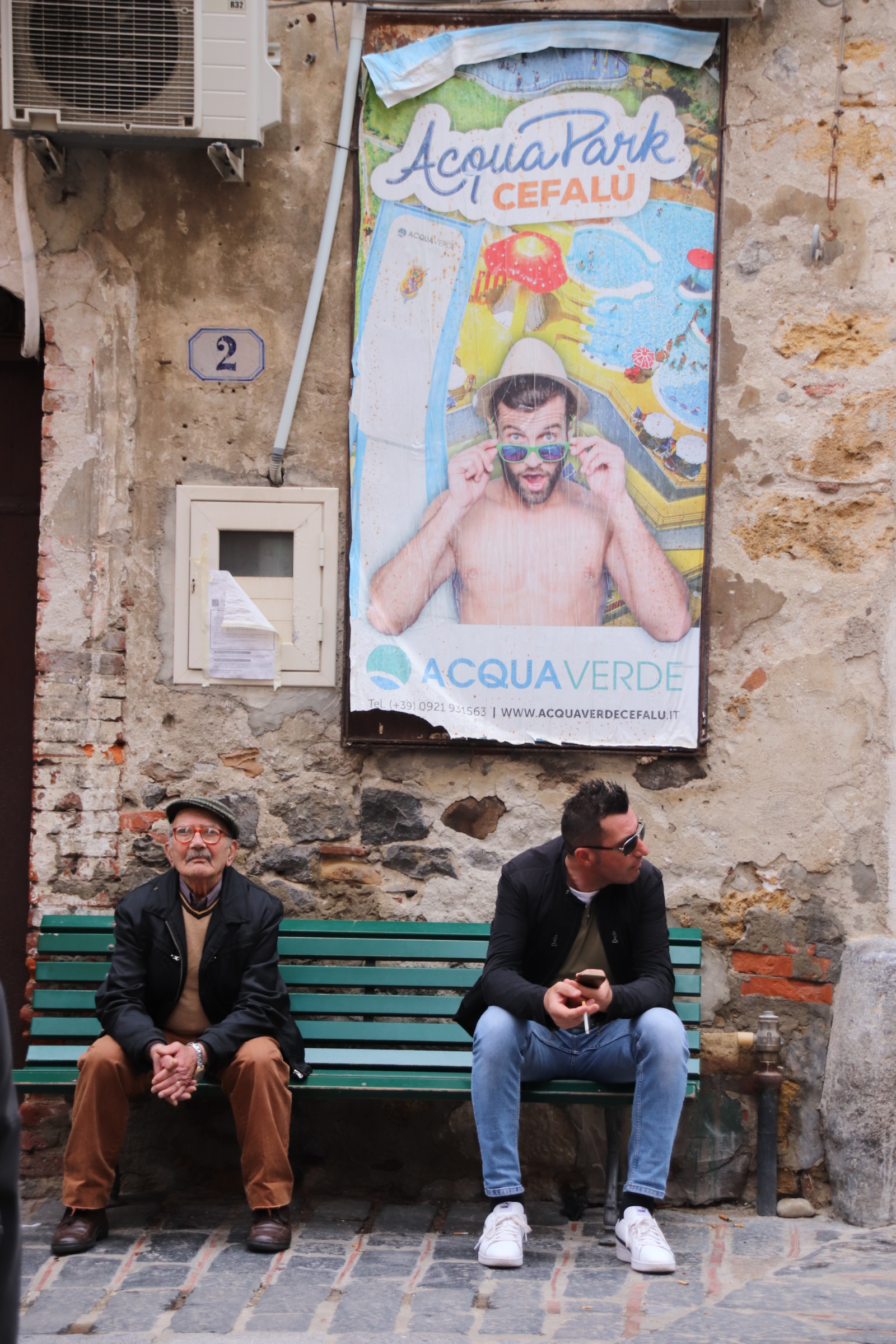
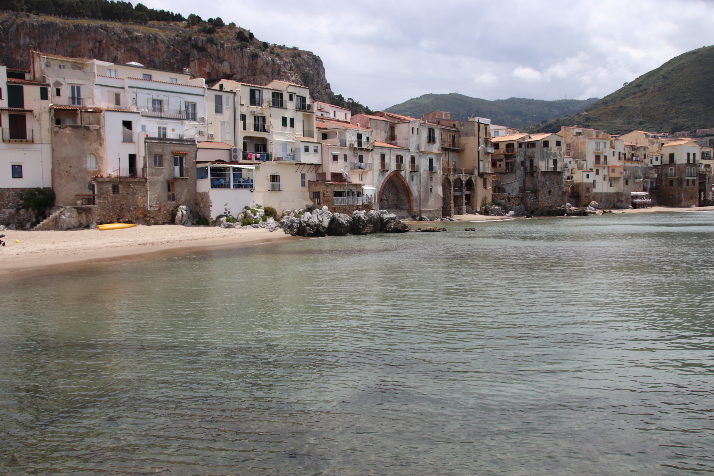
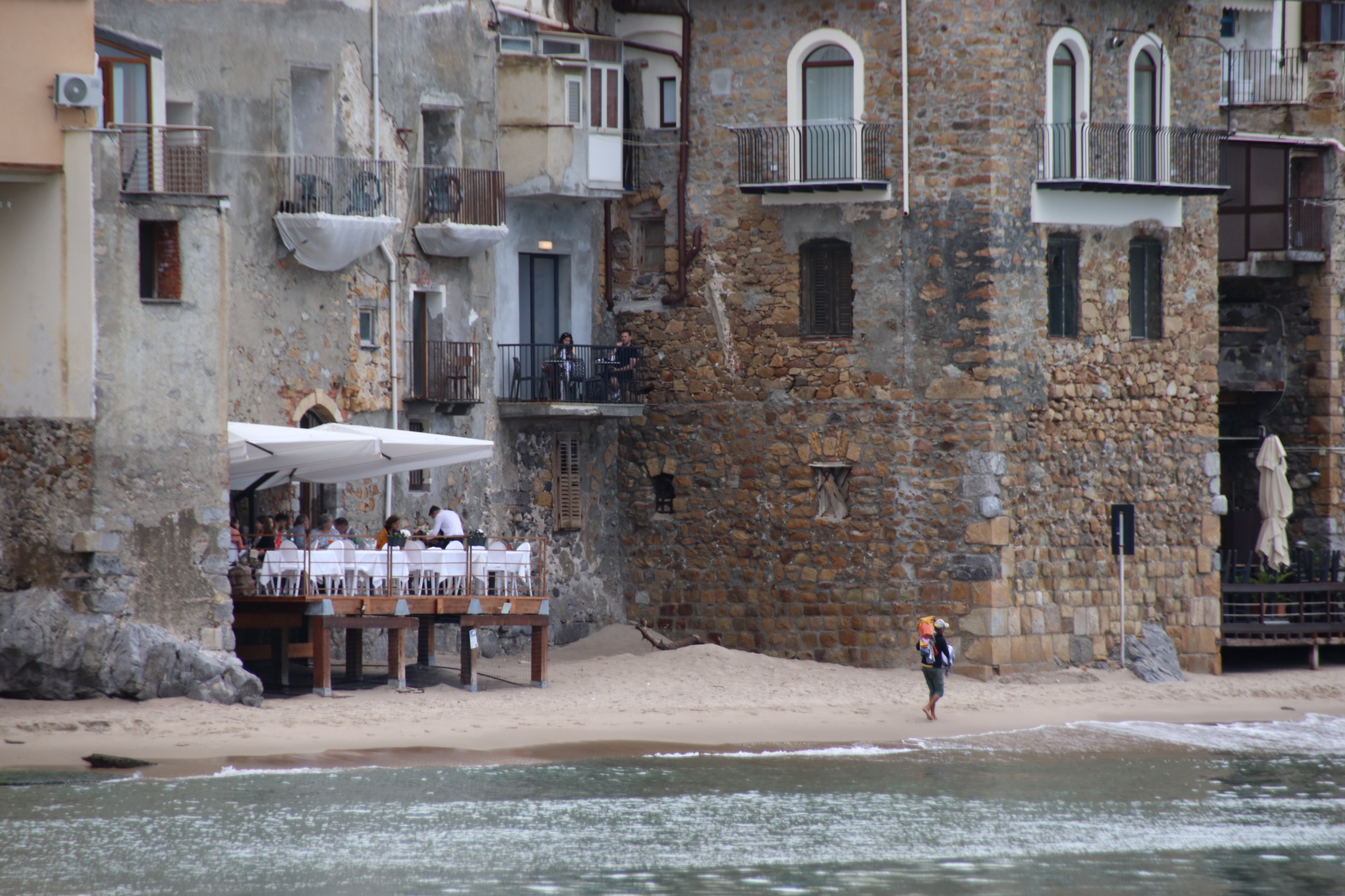
Cefalu is an ancient fishing port sandwiched between the Mediterranean and a range of large craggy rocks on the north coast of Sicily to the east of Palermo. Fishing may be its roots but today it is a charming tourist resort, fashionable with affluent Italians, day visitors from Palermo and holiday makers seeking the real Sicily. The summer months see large numbers on the beach and in the streets. But now the sunbeds are empty, the restaurants living on hope rather than bookings and cafes & gelaterias serve you immediately you turn up. It means that the true peace and feel of the medieval town can be appreciated. The atmosphere, the history, the flavours ooze from every stone block, from every piece of cracking plaster, from every pigment.

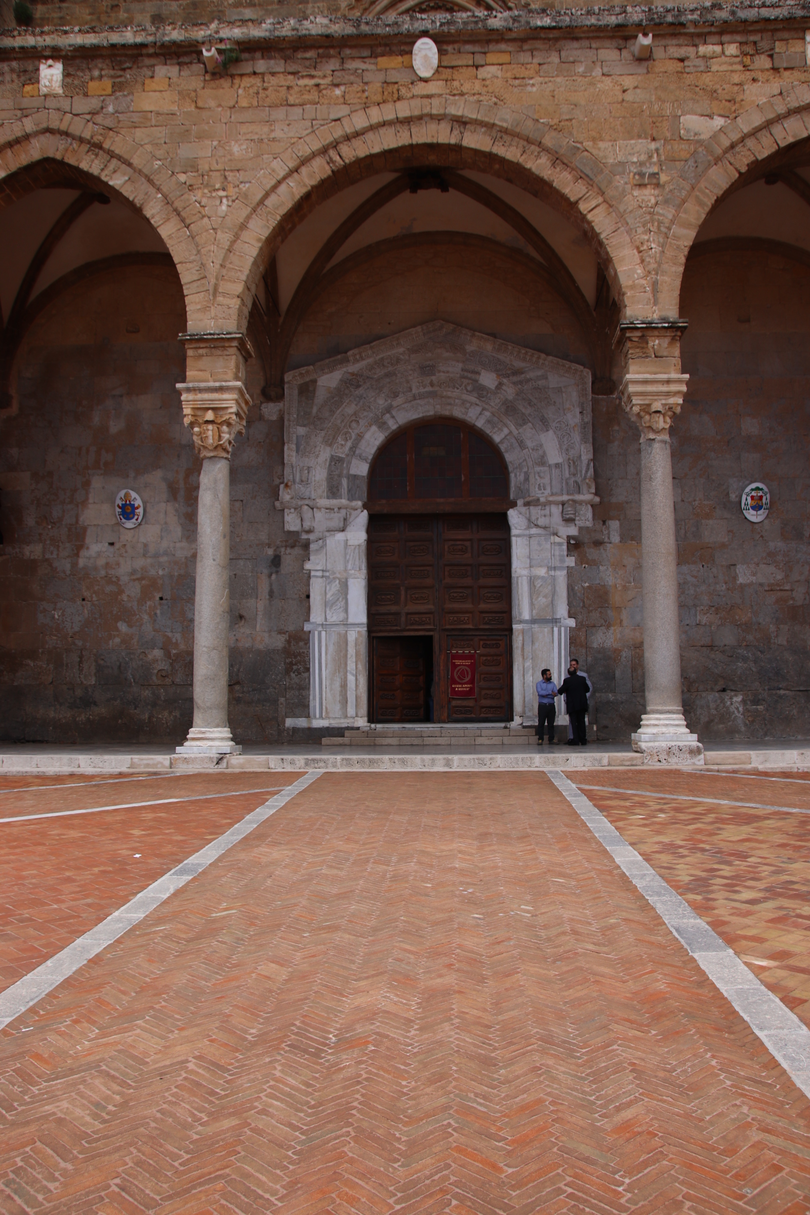
Breakfast is taken in the Pazza Duomo. Slightly later than planned, a peal of bells signals the start of midday mass and for a moment disrupts the tables of coffee and gateaux. A few take the ancient steps, past the gate-guarding bishops, up and into the cathedral. The rest turn back to their table and watch another group of visitors pass through the narrow, cobbled streets.

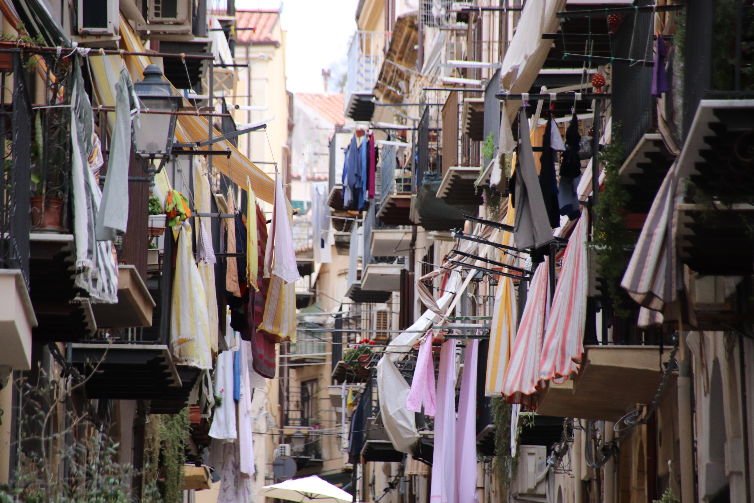
The old town consists of a grid of tall apartment blocks, centuries old, linked by steep, stoned streets.

Balconies stretch across to touch their opposite number. Today is obviously a good washing day as lines of sheets and shirts wave to each other, dancing together in a drying partnership.

Cefalu is a joy to visit.

Watering the dusty landscape around El Geco Verde

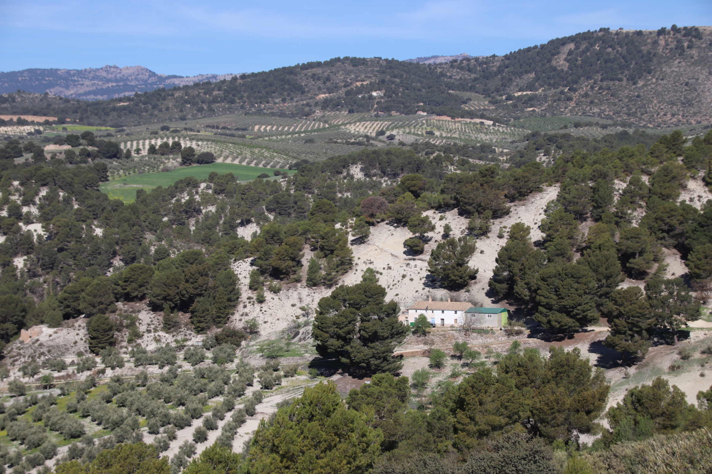
El Geco Verde is situated in the foothills of the Sierra Nevada on the edge of the National Park. A few tarmac roads bend through the trees and countryside linking up small towns but the main access to the farms and isolated hamlets is on a wool-tangled ball of dusty, gravel tracks. These pitted ruts dissect the landscape of olive and almond trees, providing access for a variety of tractor-pulled technology, ancient and modern, that weed, rake, cut and clear around the darkened, twisting trunks.

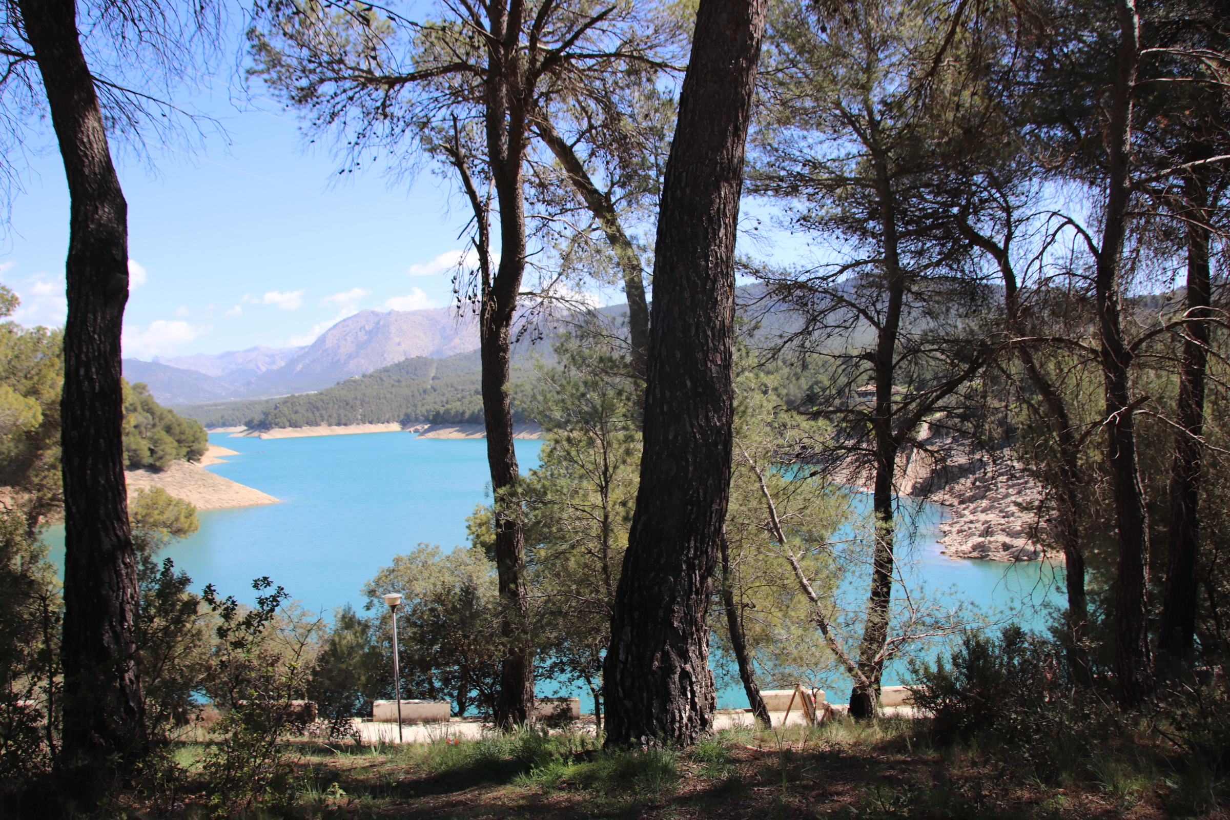
Olives and almond production dominate the local economy. Several river valleys have been commandeered to aid the local farms in the endless search for moisture. Dams have been constructed to hold back large bodies of water that, when the time is right, is released into an intricate irrigation system that flows throughout the fields.

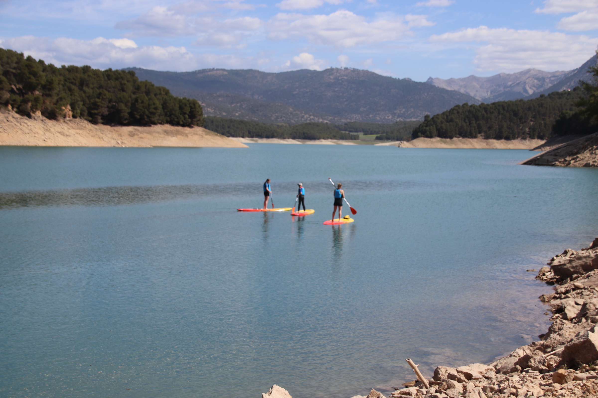
These also double up as recreational opportunities. Companies now offer to visitors and locals an extensive menu of activities including paddle boarding & kayaking. Off-road Segway is an exciting way to explore the trails and the canyons of the national park.

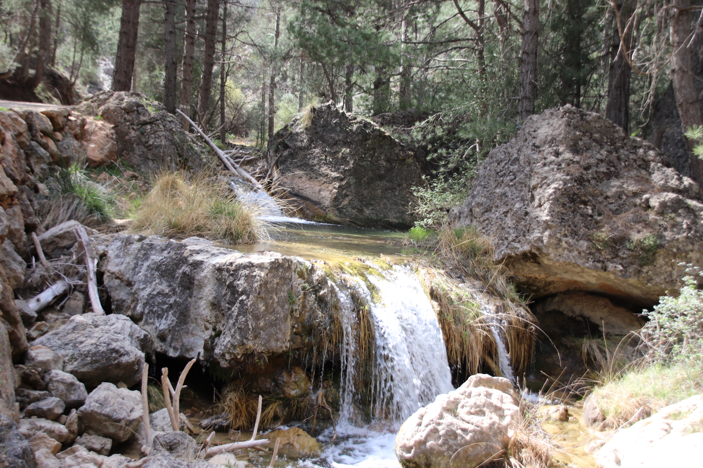
Hiking the trails of the national park can be challenging but it’s rewarded with the senses zinging.

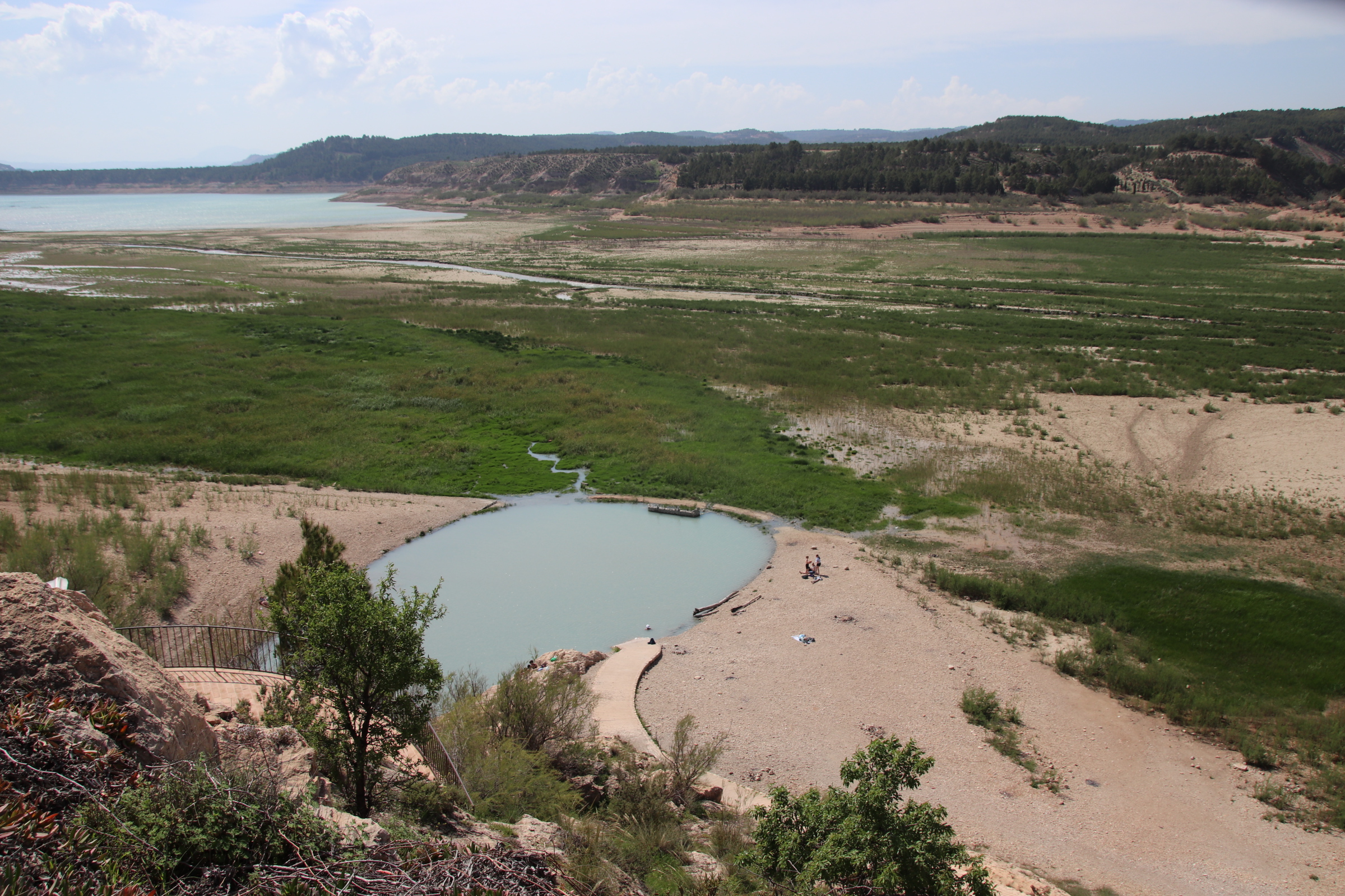
The Banos de Zujar, at the mouth of the almost-dried up river where it meanders into the lake, is a crack in the earth’s crust, allowing a thermal pool to emerge. This has a constant temperature of 38°, lovely and warm compared to the snow-resourced waters of all the other streams and lakes and reservoirs, and is bottomed with deliciously gooey, and supposedly skin-healthy, mud.

El Geco Verde breeds peace in Andulasia

Yayyy. My first trip through an airport, onto a plane and out the other side for so long. How I’ve missed that anticipation of different cultures, sounds, smells, sights. So good to feel warm sunshine on the face, to see locals at tables watching or waiting as the world catches up again, to be immersed in other languages and habits and lifestyles. I am jumping in. The water is warm.

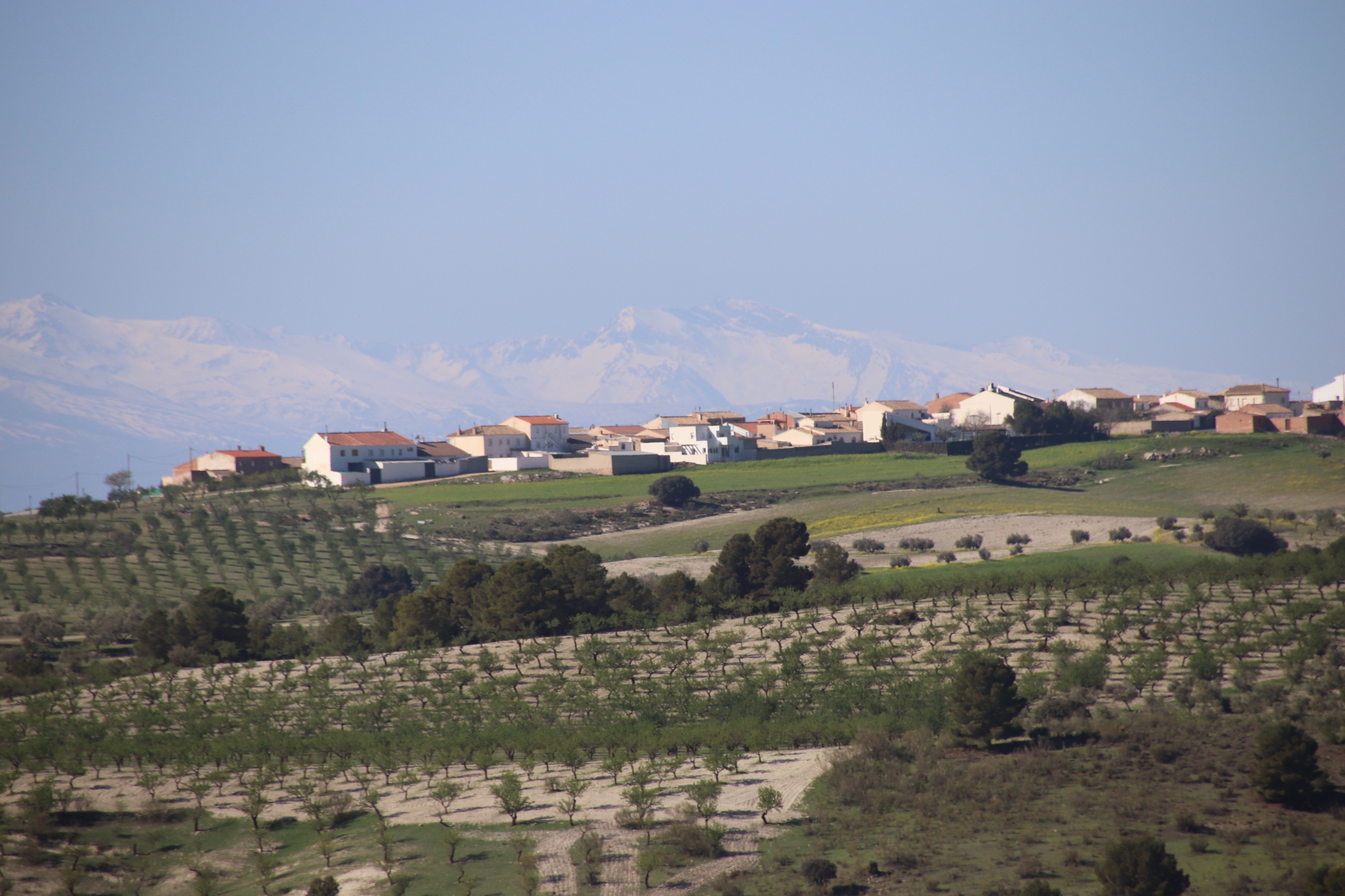
This trip is to southern Spain through Malaga meeting up with some of the family. It’s a drive up into the Sierra Nevada. North of Granada the route changes from peaceful motorway to empty local roads and then a lonely track into the dry, rocky landscape of the foothills. In the distance the high ridges are snow laden, providing a freezing frame to the farms and villages that await the heat of summer.

El Geco Verde sits on a hump of land overseeing a vast landscape of bountiful olive and almond trees. A peaceful place where the blanket of silence and bird song makes more noise than any rush hour traffic from life back home. The shouting hustle of life quickly disappears and old priorities re-establish themselves.

It is Easter Sunday. Having introduced the British custom of egg rolling to Andalusia it is out and about. Passing the dam, stopping to appreciate its curves edges, we follow its cooling gushing through the dusty landscape.

In Castril, the local town, the procession has finished. The locals settle to a long afternoon in the bars and restaurants. Groups of all ages settle around long tables pushed out through the narrow streets. Laughter, banter, anecdotes – conversations are shared on the table and across the street. The speedy ricochet of machine gun Spanish sounds loud above the movement of wandering couples and families and friends.


It’s so good to be out here again.

A UK Coastal Trip – St Ives

Moving around England’s tip, Cornwall’s north coast is a high drama of high, angry cliffs separated by gentle, crescent-shaped coves of soft sand. The complete range, & more, of the blue palette colours the hugeness of sky and the vastly distant ocean. Both are disrupted by the force of white weather. Clouds build and isolate as cotton wool is spread across the heavens by high winds. The ocean is blown up by the same winds into a ferocious bombardment, throwing itself upon beach, rocks or harbour wall in line upon line of snarling white beasts attempting to break down the land’s resistance.

The beach fleurons, bitten out of the cliffs are magnificent, particularly at low tide when their true dramatic beauty can be truely appreciated. Most are inaccessible on foot although some can be reached by scrambling down cliff paths. The more accessible ones have been taken over by fishing or farming or mining communities who use the ocean as their main livelihood or as an essential means of transporting goods, produce or materials.

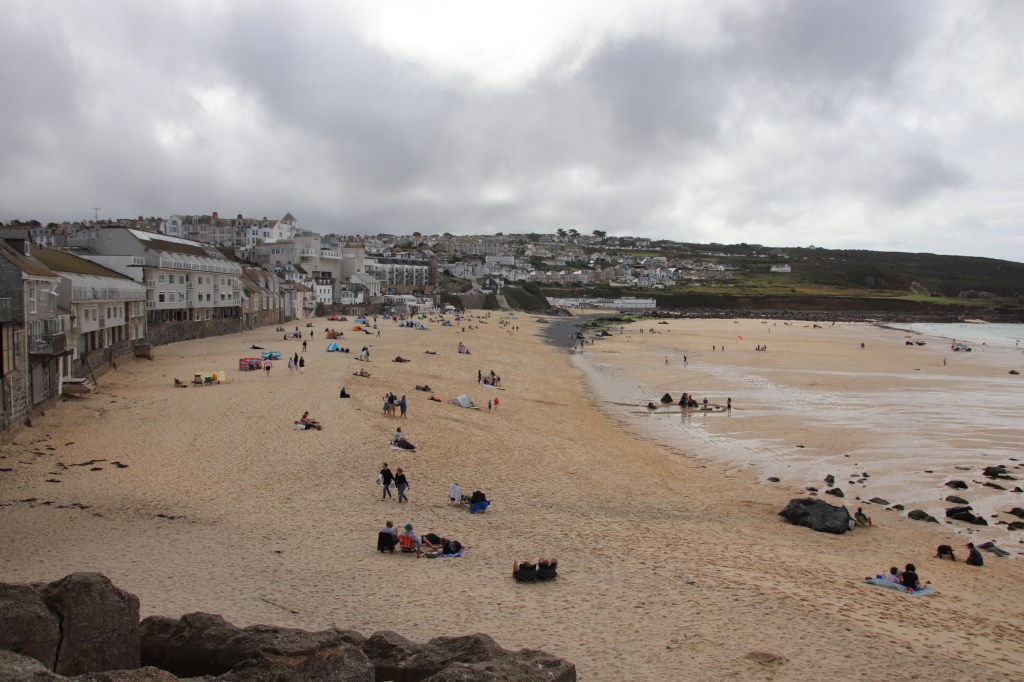
Porthmeor Beach, St Ives

St Ives is such a vibrant town with its narrow alleys and lanes that all focus on the harbour.

The high tide lashes up against the encircling stone jetties. As it recedes, the town’s beaches merge outside the harbour walls. Holidaymakers enjoy the range of artesan shops, the pasties, the pubs & bars & restaurants or just wandering the streets at tourist pace. Where’s Wally? Nah, Meet Marky, in pic below!

A sign of the holidaymakers life today is the number of Status Dogs they bring with them. They yap & bark and tangle around legs & paws & feet. These posing, sniffing, prancing bundles of shag pile rug demand a great deal of attention and require lots of care & protection. Maybe St Ivez is a particularly hazardous place. I’ve seen them put in knitted wool tunics, in wheeled carts pulled behind bicycles, carried in the arms of owners, pushed along in buggies, placed in a material basket under the table in a restaurant, sitting on pub seats, peeking out of a coat pocket. A dog should be treated like a dog, not like a four legged, shaggy Tamagotchi.

Portreath

Porthtowan

Most of St Agnes is up on the cliff tops but if you maneuver you way down to the beach and the old, now sea-destroyed harbour, a dramatic cove awaits you. Sandwiched between sharp, steep cliffs with the nibbled coastline stretching away, the white breakers crash down on the rattling pebbles. A few sturdy souls brave the water …..with no wet suits! Up on the top, minute figures stand at the edge along the coastal path, gazing down at us from a great height.

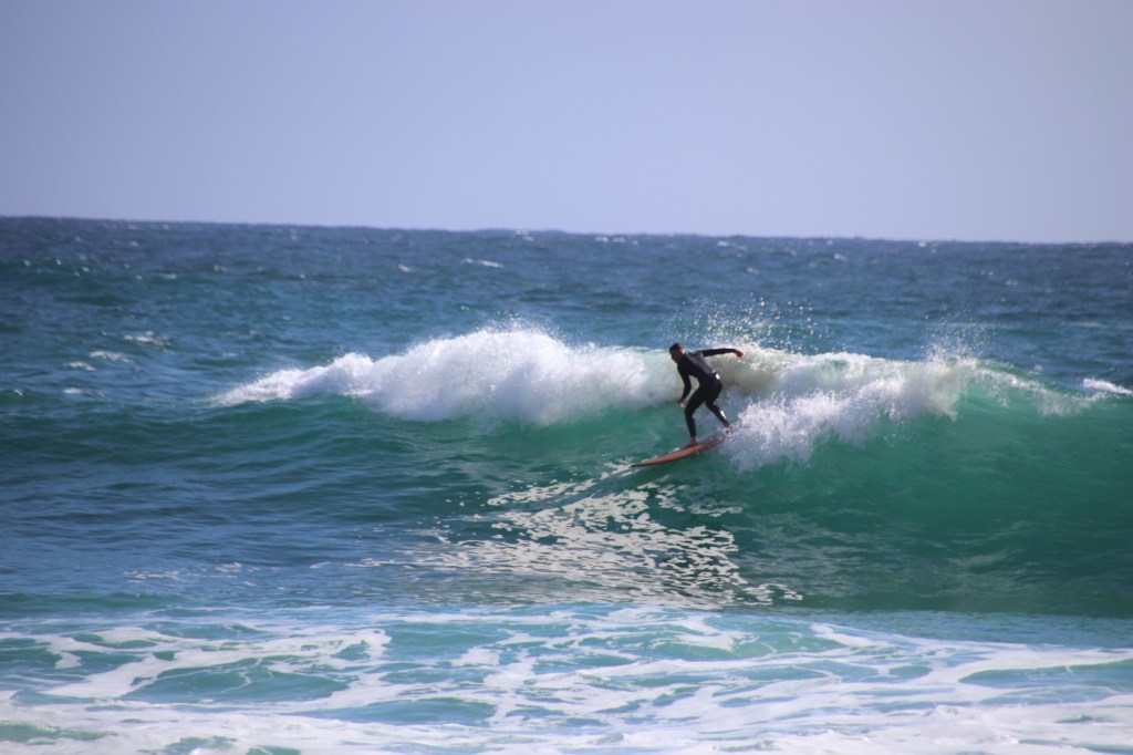
Surfing and family fun at Perranporth.

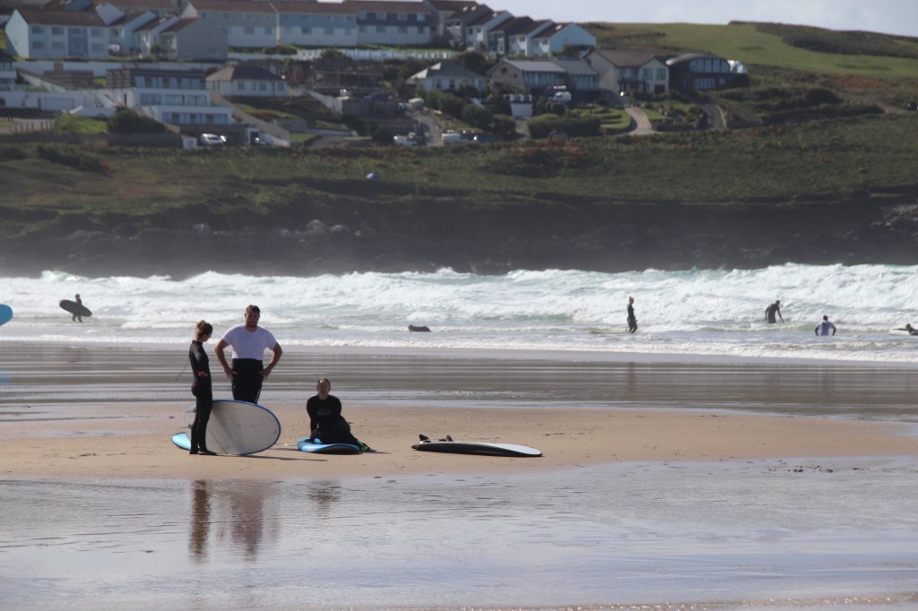
Surfing at Fistral Beach, Newquay

A UK Coastal Trip – Mousehole

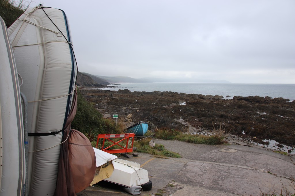
Carrying on down towards the west, the first village on the coast is Mullion Cove. Sea mist had descended and the harbour and beach were hidden in a grey wash. A single boat had been left high, the only object with clear, sharp features.

Portleven is an energetic little place although parking is not easy, especially when wedding guests seemed to hog most of the available places. The local gig crew were out on the water, small, designer huts were set up with wares for visiting tourists and a farmers’ market was in session.

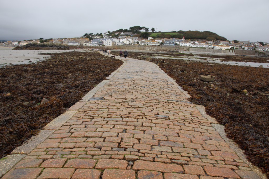
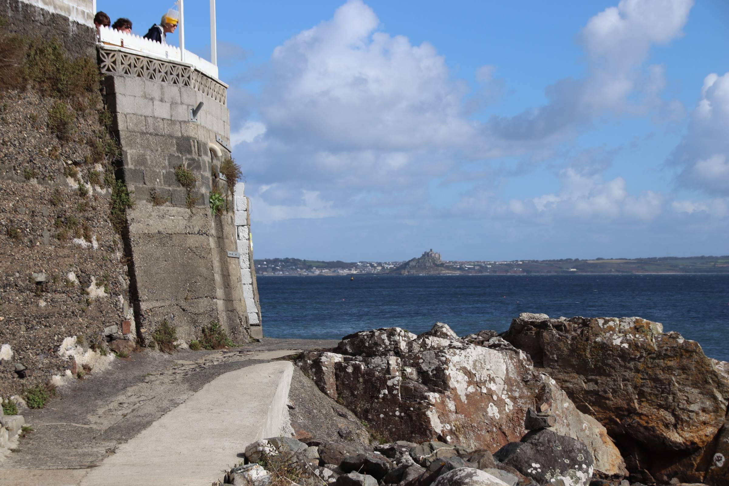
The hugely impressive & privstely owned St Michael’s Mount is linked to Marazion by a stone causeway. At high tide this is completely covered by water and a boat ferries visitors across. At mid to low tide it is possible to walk over. The best images of both places are afforded from the middle point.

Penzance is a pretty ordinary place. The boat to the Sicilly Isles operates from the small working harbour.
The art deco Jubilee Pool fills up at high tide so folk can swim in the cold waters all day long, irrespective of where the tide is. High tide comes right up to the sea wall and so it is impossible to describe the beach here.
Newlyn harbour is a large working dock where fishing boats unload their catch, overlooked by old workers’ cottages and owners’ dwellings.

Mousehole is a lovely fishing village, full of character, with small, narrow streets that steepen down to the harbour as the main focal point. Today the ocean was knocking at the harbour walls, throwing its strength against the stone and sending huge plumes of angry spray up & over to cover the cars parked on the jetty behind. And, yes, Hugh, we found the cafe!

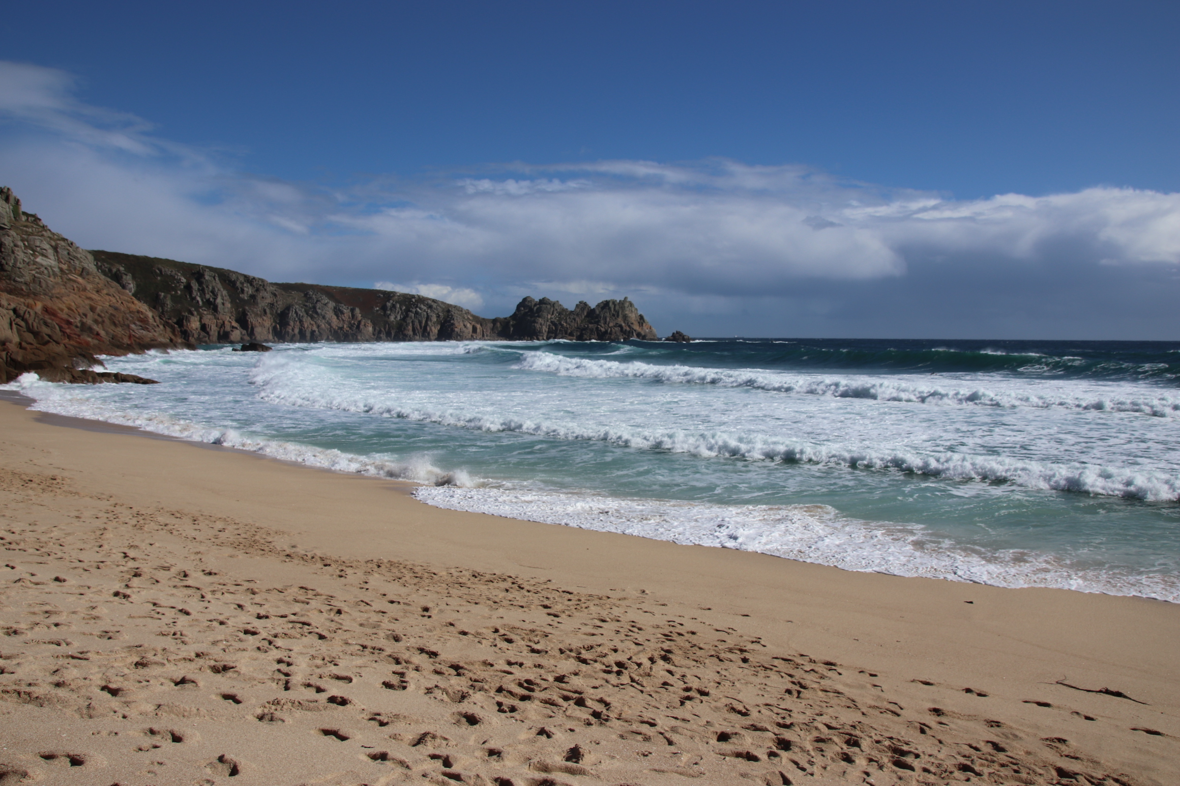
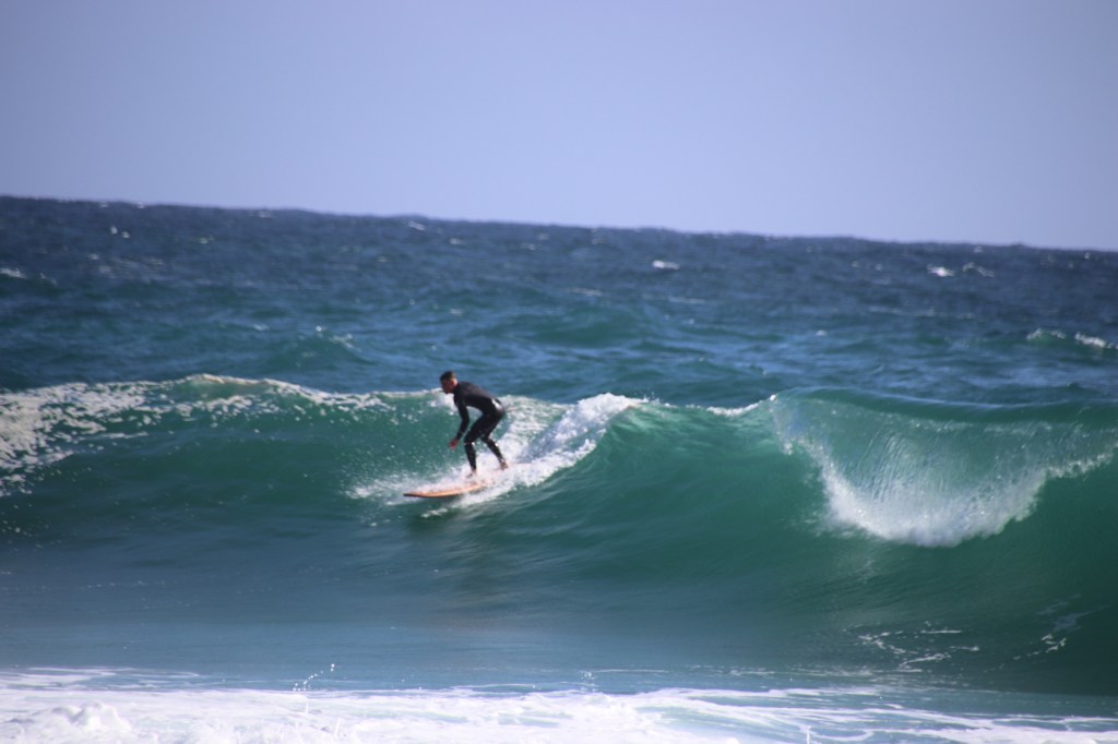
The beach at Porthcurno is truely dramatic. Sliding down a steep, rope-railinged, pitted path its magnificence is revealed at the bottom. Glorious, soft sands are pinched by grey slabs of huge sharks’ teeth rocks on one side and the rising heights of towering, blue/black/grey cliffs topped by the silhouetted fences of Minack open-air Theatre on the other. In between the roar of surf crashes out all noise and a lone surfer-dude challenges the power of the ocean in front of a handful of spectators sitting along the beach.

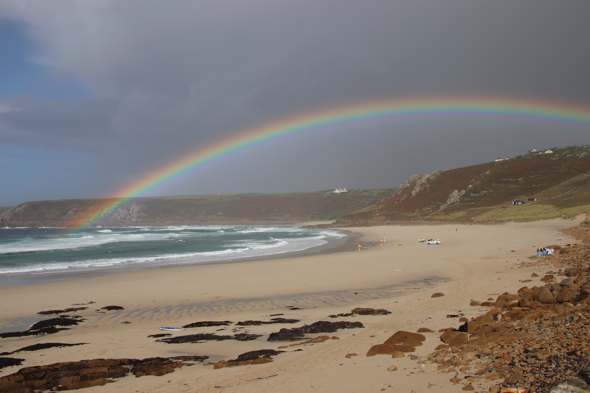
I’ll leave you with the end of a passing shower at Sennen Cove. It just goes to show there is a pot of gold at the end of this rainbow.

I’m not going to spend time on Landsend. Just to say it is categorised as a theme park and costs £7 to park!!!!!

A UK Coastal Trip – Falmouth

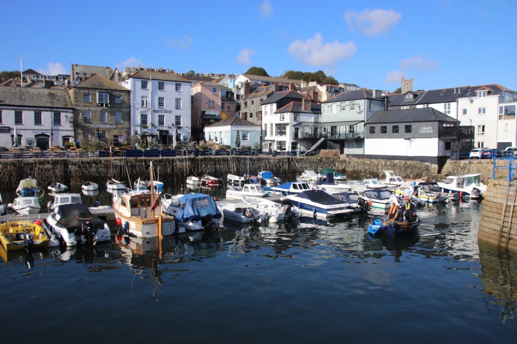
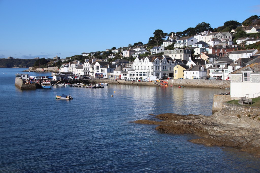
Several ferries across the estuary of the River Fal, keep the historic village of St Mawes and the historic town of Falmouth connected. The King Harry chain link car ferry rattles across just up from the mouth, whilst the St Mawes passenger ferry runs between the two harbours, aided by several water taxis. Henry VIII built a fort on each bank to protect the south coast from the French.

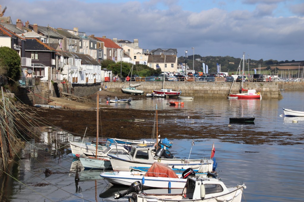
Falmouth itself has two distinct parts. The historic old town reflects Georgian wealth and Victorian charm. Looking up at the upper stories of the high streets is a clear indication how affluent this place was in the past. The buildings are dual aspect. Business is done from the front facing the street whilst goods are bought in by boat at the rear facing the water. On Customs House Quay the imposing offices of officials, the harbourmaster and merchants overlook their demain.

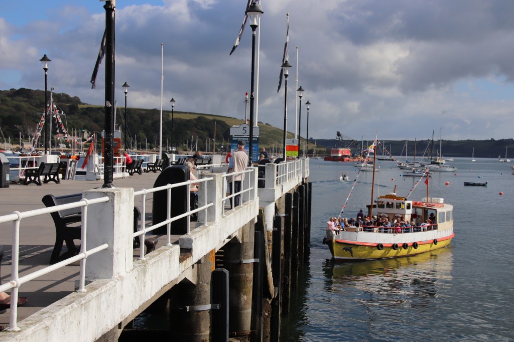
The pier has a certain Victorian charm & elegance to it amongst the yachts and trawlers and even warships. Like a bus ferminal, several ferries and boat trips collect and drop of their passengers from its iron superstructure.

West out of Falmouth runs the resort part of the town where a cliff road, lined with elegant homes and apartment bocks, runs above soft-sanded beach, although you only see it properly at low tide, when sharp rocks appear to cut off access to the sea.

Swanpool anf Maenporth are two more sandy beaches that are easily accessible to families.

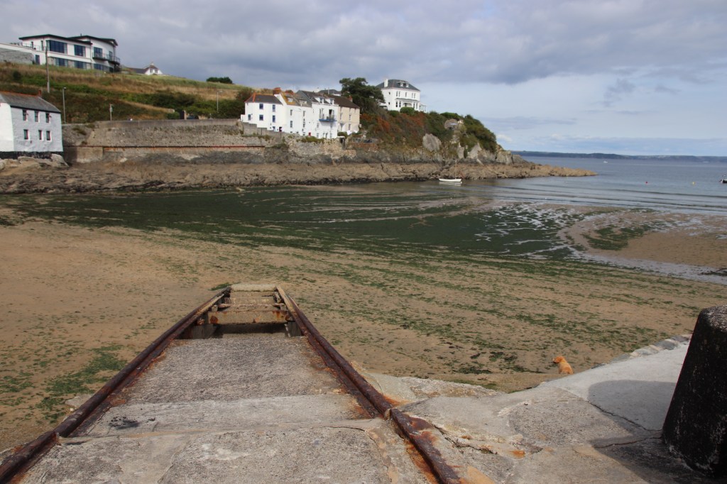
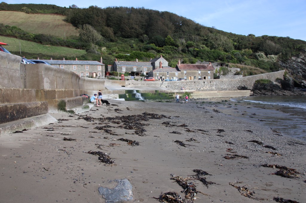
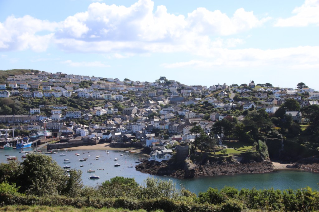
Porthallow has a grey, coarse beach semi-circled by homes and fishing paraphernalia.

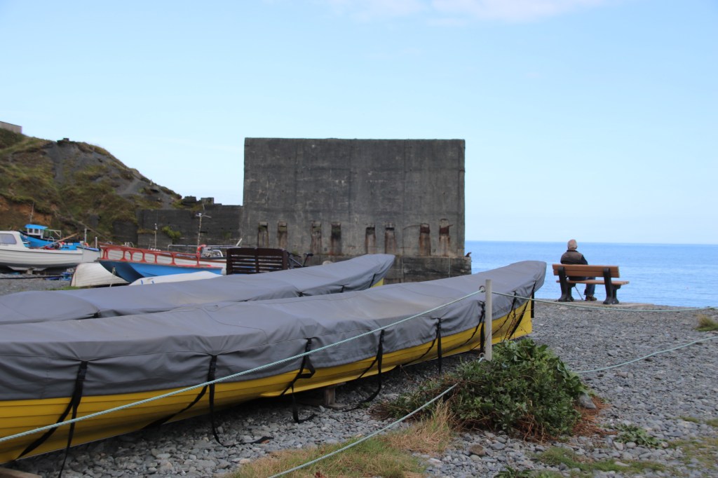
Porthoustock has a similar coarse beach. It is a working village with part of the cliff knocked through to provide access to a quarry. A digger loads stone onto a large vessel.

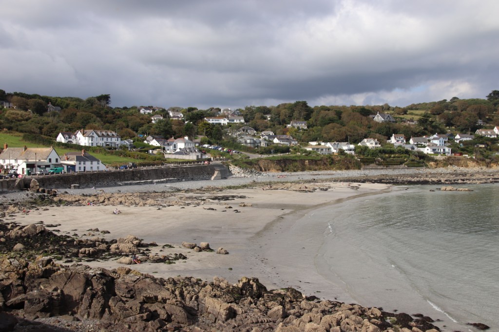
Coverack is a large, friendly village spread along the cliffs that line the bay. The car park is at one end and it is a gentle walk down and up the road with comfortable dwellings and gardens on the land side, with view over the beach on the other. Sharks teeth rocks run out from the sea wall with soft sand only exposed at low tide.

Some fishing still goes on, alongside water activities for visitors.

The small cafe at the top is open through the summer and serves the most amazing pizzas and toasted sandwiches. It is a friendly place. Sitting at a table in the sun with two local ladies, they tell the story of the Night of the Giant Hailstones when stones the size of fists were thrown at the village, destroying sheds & conservatories and causing outbuildings, cars and the road to slide into the sea. A friendly place with a strong sense of community.

A UK Coastal Trip – St Mawes

Now, Cornwall is renowned for its narrow lanes and high sided hedges. On this trip I discovered what this means in reality. On a map these villages are linked by white lines & B roads that criss cross the area between larger towns in a random, haphazard pattern that is the product of land & mine ownership rather than any logical arrangement of farmers’ fields.

Portmellon

The roads fall into two distinct categories. The B roads may have faded white lines in the middle at certain places and tend to have enough room for vehicles to pass – in places. Tourists, lorries, buses mostly use these roads. Most of the roads (huh) fall into the next category. They are syphon shaped in that at the junction they seem wide and open enough for two vehicles to pass comfortably but within a few metres the sides, now 3 metre high hedges, have squeezed in to within centimetre or two of your mirrors. The hedges are weapons of this hellish game of Mario carts. Not only do they breathe down on you from a great height, they also hide large rocks behind their cover of pretty, green vegetation. It looks like you can squeeze in to the foliage to make some room but if you do this there is a squeaking sound of metal bending. Miles are done on these lanes, accompagnied by prayers that nothing will come up the other way and making mental notes of each potential passing place.

Gorran Haven

When (not if) it does, there is then the Drivers Standoff. Two cars face off, engines tick over, drivers stare & snarl through gritted teeth calculating where the passing place behind is, waiting for the first to break. One breaks. That one practices, again, their wing mirror reversing technique, which, I have to say, I got pretty good at, particularly when I came head to head with the local bus who in no way was going to reverse and gently kept me company as I made room in a gateway 100 metres behind. The other driver breathes a sigh of relief and follows the sharply zigzagging vehicle in front, whistling happily. It’ll be their turn next.

East Portholland

West Portholland

Fingers tighten on the wheel and conversation becomes tense as the journey progress. A few miles takes 30 minutes of slow 2nd gear driving and the Passing Dance occurs at least a couple of times on the way, wether you’re the passer or the passee. The relief of reaching your destination is enormous. Aaaarhhhh. Take the photo and repeat.
The villages are very similar. Usually at the bottom of a wooded hill where a brook meets the sea. A cluster of converted fishermen’s cottages clutter around a small beach that is totally covered at high tide, revealing stone, pebbles and sand, in places, as the tide goes out. There’s usually a chapel to look after the souls of lost and past fisherfolk. Many have also been converted. Modern, more expensive homes hover around the edges of the cove in prime positions, with huge open windows bringing the view indoors while keeping the owners, not sure if these are first or second ones, away from the elements, the history, the visitors.

Portloe

Portscaro

St Mawes

A UK Coastal Trip – Mevagissy

From Polperro it is a short drive to the Boddinick Ferry, of the chain link variety, which crosses the River Fowey to the historic town of the same name. On the north bank Polruan faces Fowey.

On the south bank Fowey faces Polruan.

Linking the two are numerous water taxis, the Polruan Ferry for passengers and the car ferry further up the river. Fowey is built in narrow climbing streets that create a winding maze lined with what feels like 100s of bakeries selling thousands of pasties or an equal number of parlours selling Cornish icecreams, craft retailers & the necessary seafaring gear for city dwellers. Needless to say that every seat or step, houses the bottom of a visitor with their mouth around a pasty or their tongue licking out, lizard style, at a creamy ice.

Polkerris is a small village down a narrow lane with a pub on the beach.

Par Sands beach is a wide dune-backed beach with soft sands and a large free carpark. In the far distance, what look like farm buildings crowd around an an old wharf but other that an ugly sight it does not impinge on family fun amongst the dunes.

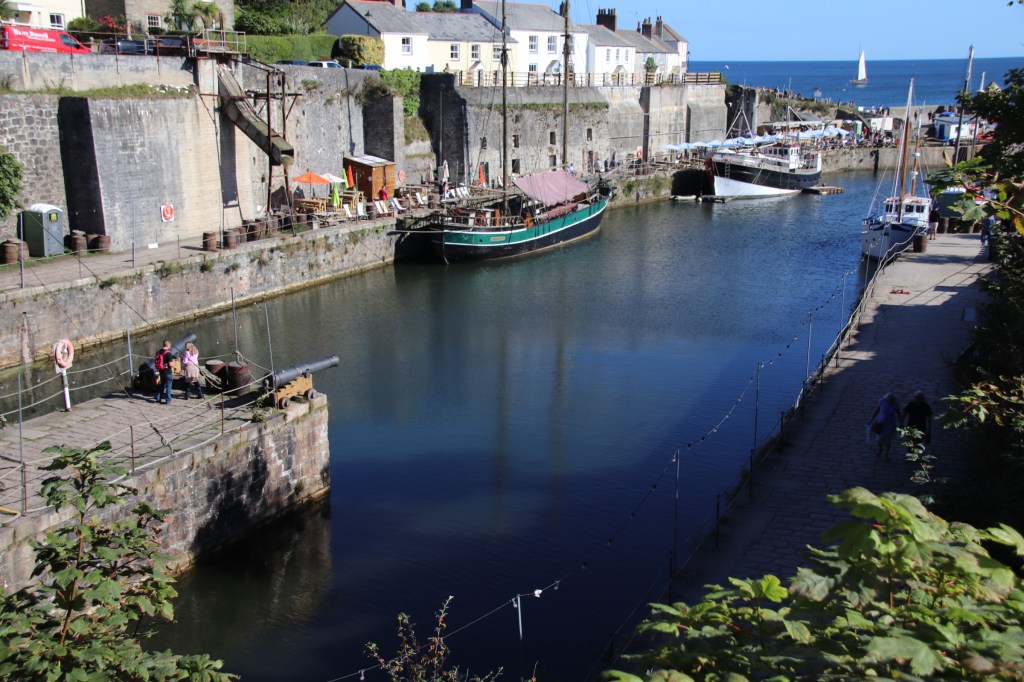
Charlestown, a few miles further along the coast, is the harbour setting for all those tv episodes of sexy Aiden Turner playing Poldark. A private harbour, it has been turned into an historic setting, cobbled and stoned, with wharves & jetties. It certainly has the feel of past seafaring adventures even if the cafe umbrellas, pub tables & icecream stalls take some of the gloss away. A good place to visit to get a feel of Drake and sailing the Spanish Main.

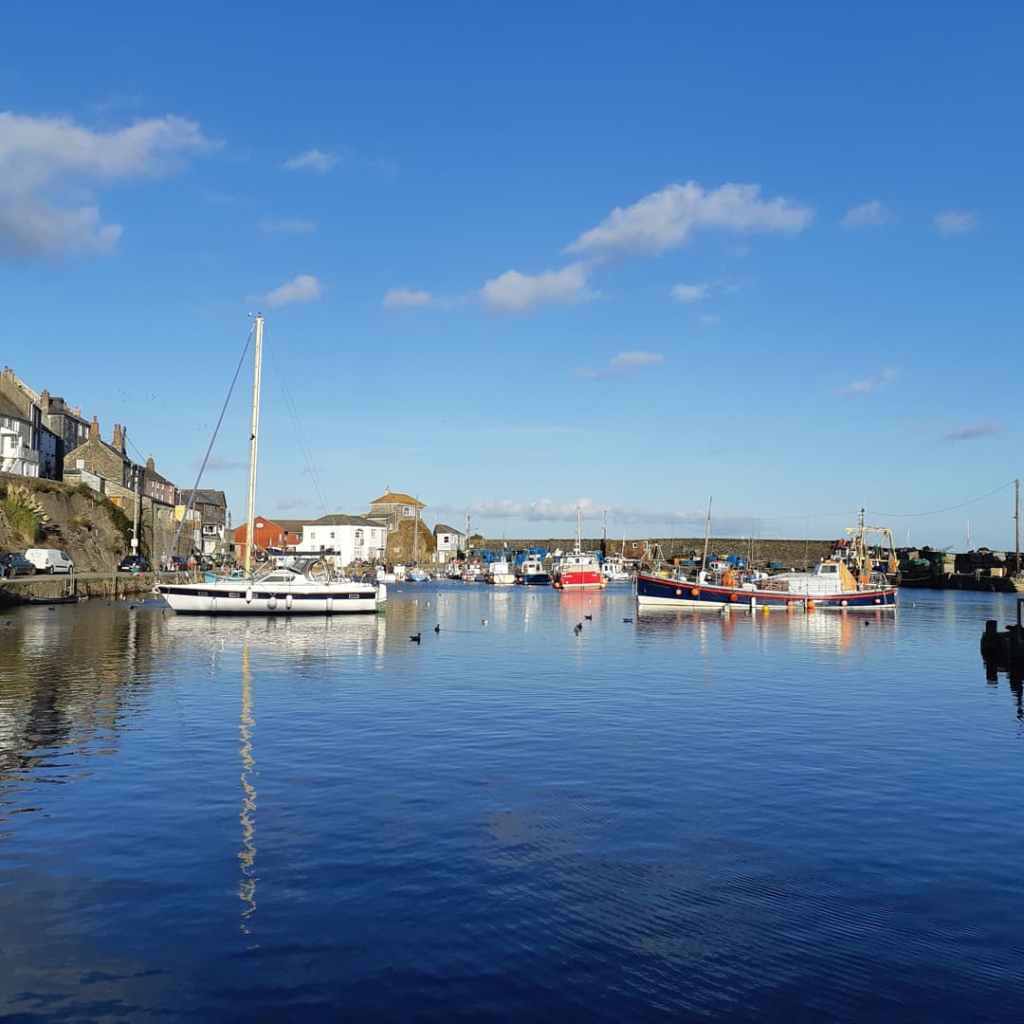
And then Mevagissy. Two harbours, enveloped by clawing walls, ooze history around their wharves and merchants’ houses. Yes, it gets its shares of visitors. But by the evening they have left, the fish & chip shops emptied, the pubs have quietened down and a calmness falls over the moorings and the cobbled streets.

A UK Coastal Trip – Polperro

Torpoint’s chain link car ferry across the Tamar marks my leaving of Plymouth and heralds my arrival in Cornwall.

Come with me as I travel along Cornwall’s south coast to Landsend and back up its northern face to Padstow. The first day provides the full Cornish fayre of beach settlements.

The first two are raw Cornwall where high tide swallows any beach and low tide reveals angles of cheese-grater rocks mixed with sea-smoothed slabs of rocks, stones and pebbles.The only road into Portwrinkle runs below whitewashed bungalows and comfortable homes. At the end of the road a gnarled, circular stone wall, created from rocks & stones from the beach, provides a refuge to a couple of lonely, open boats that are just waiting for the tide to lift them up to higher spirits. In both directions sharp files of rocks await any careless sailor or fisherman.

There is little to welcome tthe seaside-seeking family here. Only those whose idea of fun is a battering from the elements. The same us true of Downderry.

At low tide the fullness of emerald slime-covered rocks, squelches of brown seaweed and snags of multi-sized pebbles & stones is fully revealed. The saving grace is a thriving & friendly local community which offers everyone, visitors & locals alike, sausage, bacon & egg rolls and a cuppa for £3 from the village hall.

Then there is Looe. A magical name but I missed out on any magic in its narrow streets. I’m not sure what it was: maybe the crowds of visitors with their packs of unnecessary designer-dogs, maybe the car parks that seem to dominate the drag alongside the slimey estuary, maybe the lack of a quaint harbour or a old centre, maybe the newish developments along the river banks. Maybe it was just the weather.

And then Polperro saved the day. A walk from the out-of-village car park, down narrow, squeezing lanes leads down to the harbour where history oozes out of every crack. I’ll leave you with fudge-box perfect images of a real Cornish coastal experience.

A UK Coastal Trip – Plymouth

I am off on the last leg of my coastal trip around England and Wales. My aim is to use two centres to visit all the coastal settlements of any size in Cornwall, which, you may be surprised to discover, I have never really explore before. But first I have to continue from where I finished in South Devon last time.

Travelling down on the A303, a magnificent road scenically, brought back happy memories of youthful nautical adventures and years of cricket tours to Dorset. Breaking the journey at Buckfast Abbey Hotel seemed a good idea with the peace of the lavendar garden contrasting with the roar of traffic. Maybe be slightly too much, especially when dinner was taken in a rather basic monks’ refectory with me almost the youngest amongst the other grey-haired guests.

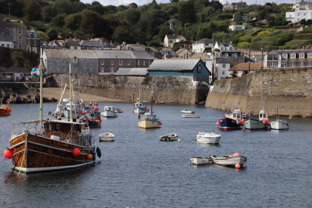
I hit the coast at Hope Cove – a lovely, rather ordinary place, surrounded by glorious landscapes. It felt like a tight, local community lived here throughout the year. There is evidence of some history in the rock walls that create an ancient harbour and also of facilities and activities that litter the beach.

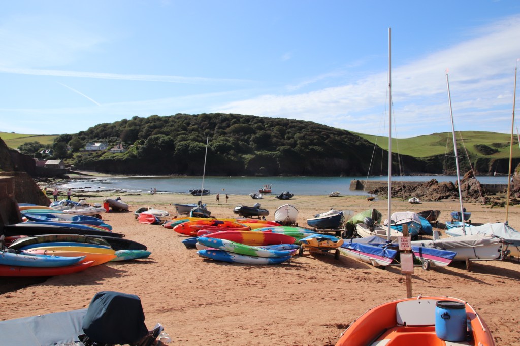
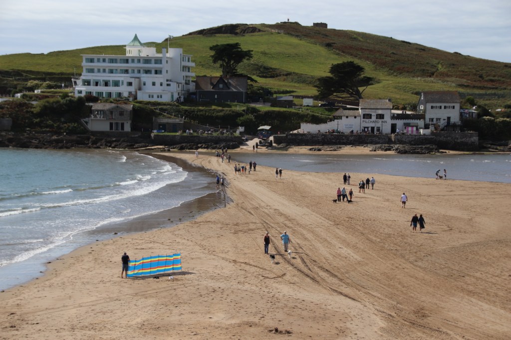
It is a short drive to Bigbury-on-Sea. Here, the small resort protect a real nugget. Burgh Island is connected to the mainland by a beach causeway that is gradually exposed as the tide recedes and completely covered either side of high tide. Guests to the art deco hotel, a luxury, unique establishment where rooms start at£450 a night, are transported at the latter time on the sea tractor. I’m not sure if famous guests like Noel Coward and Churchill took the same route. There is a pub next door that serves the rest of us pints and shorts before being herded into the cave on wheels to be returned to the mainland.

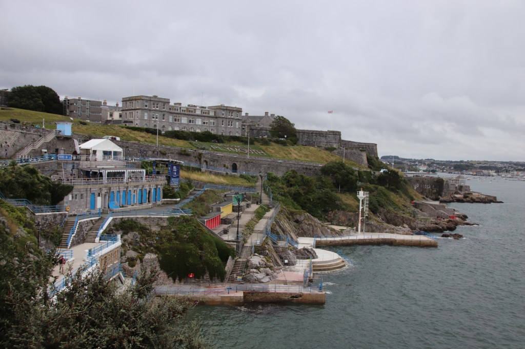
And then to Plymouth. The Hoe, Drake, Hen nights, the castle, shopping, partying. Much of the seafront has been moulded into permanent features that will last into the next millenium. The beach has become concrete layers & strips of a beach cake – hard surfaces facing the westerly weather. Even the lido laughs at any attempt to soften its 20’s lines.

The sky greys roll in and drip precipitation onto the party wharfs of the Barbican. Sensible people would wear a coat ……but not a party girl, in Plymouth (or anywhere else for that matter). As the beer tents drip, the skirts get shorter and the dresses get to queeze onto Barbies of assorted sizes from new XXL to XS.

Discovering some of the delights of the southern Shropshire hills

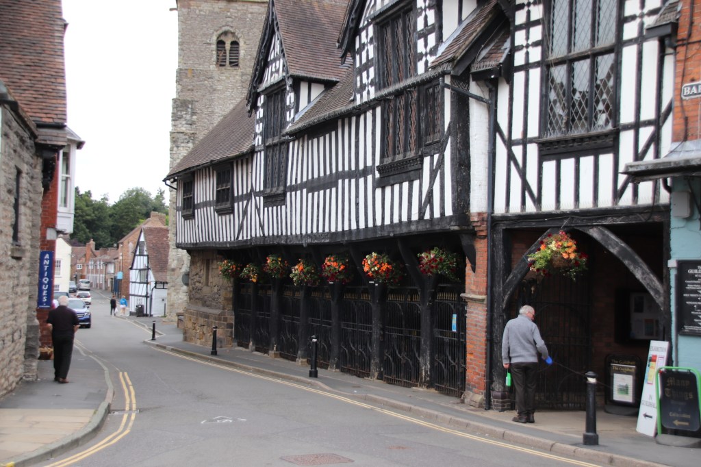
You know what it’s like when you look at a map of an area you’re new to and certain names jump out at you as places you want to visit. The southern Shropshire hills has loads of them, too many to fit in on one road trip. I had to miss places like The Bog & Bridges. But I did visit some gems startng with Much Wenlock. Yep a real place.

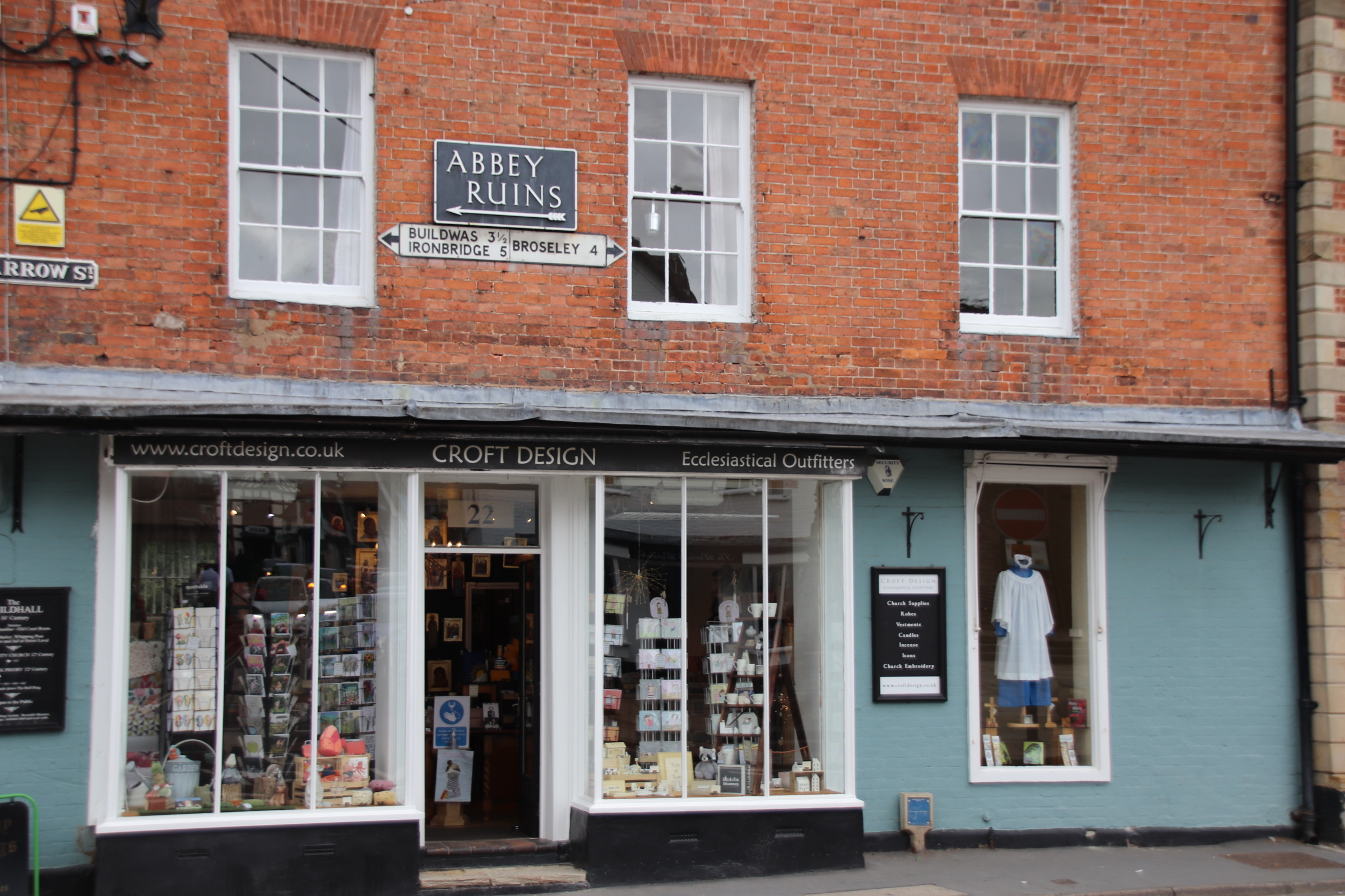
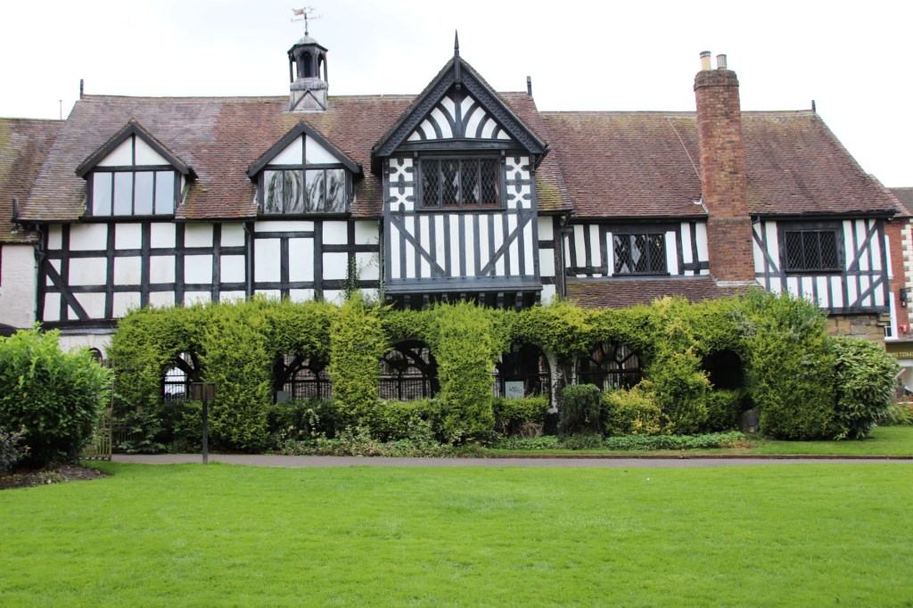
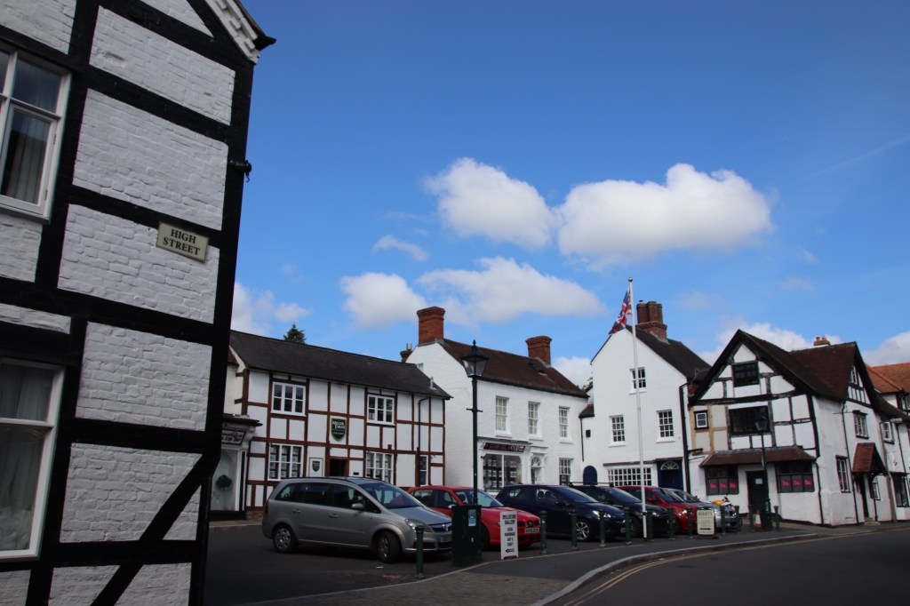
It’s delightful village with a couple of narrow streets, spoking from an even smaller market square, that crowd in a variety of small shops selling food, clothes, tools, even an ececclesiastical outfitters.

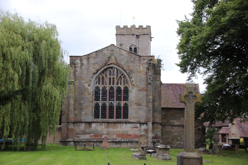
Many of the gravestones of the parish church have been removed to create a large grassed area with mature redwoods, where village events take place. This backs on to the ruins of the priory which is open to the public -at a small price.

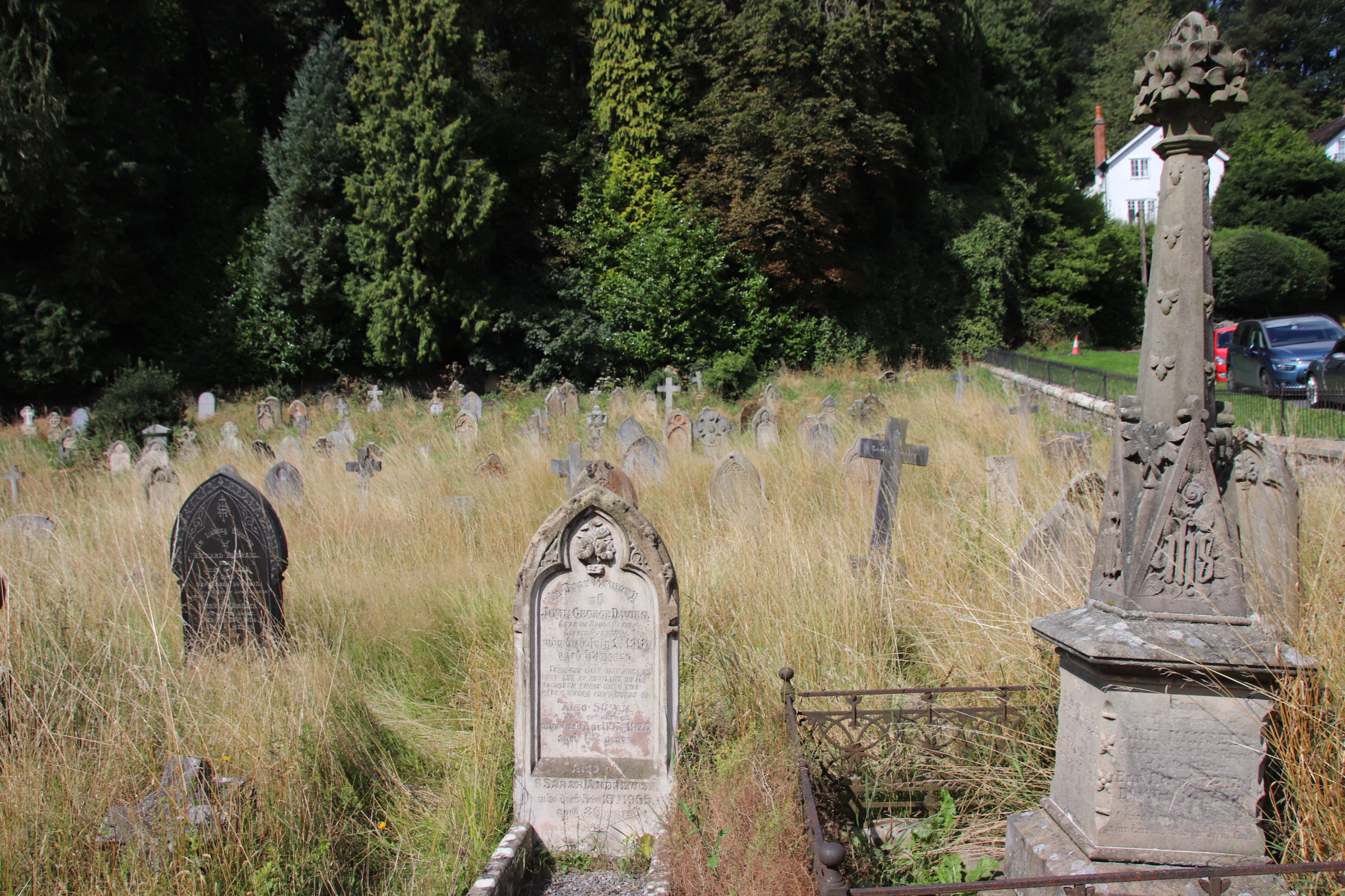
Church Stretton is on the Shrewsbury road. As its name suggests it has a peaceful graveyard around the church and a Commonwealth cemetery at the edge of town.

It has a small, attractive centre with buildings that date from Stuart times.

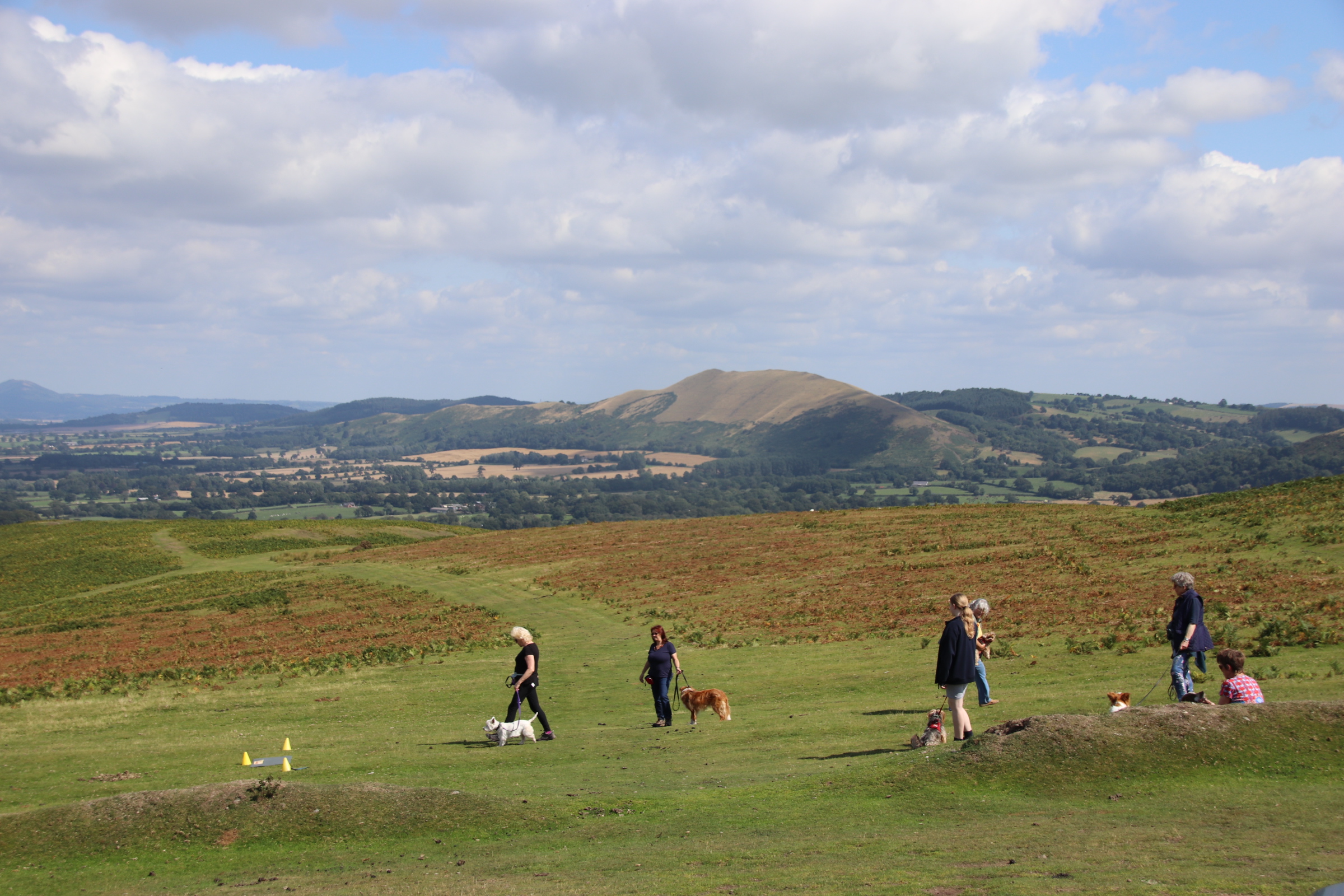
The Shropshire countryside can best be seen from one of the many ridges/hills that separate the numerous valleys that crisscross the landscape. The Long Mynd runs north to south. From the ridge the whole county is displayed in front of you for miles and miles.

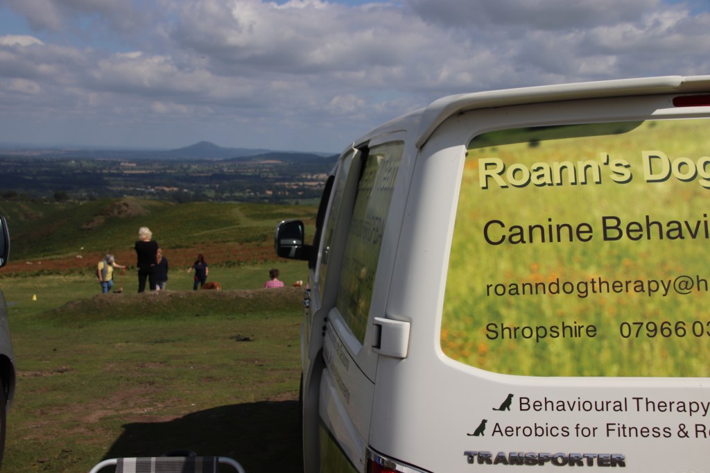
Entertainment is provided by six ladies who are training their pooches in scenting & obedience – hilarious times. Not sure who was training who..

The narrow trackhish road along the ridge runs past purple sprouting heathers and fronzy brackens that line a patchwork of wheat harvested fields, nibbling sheeps and fresh meadows. Open sky and vibrant greens hit the senses. Great for walking and, Traffords, cycling.

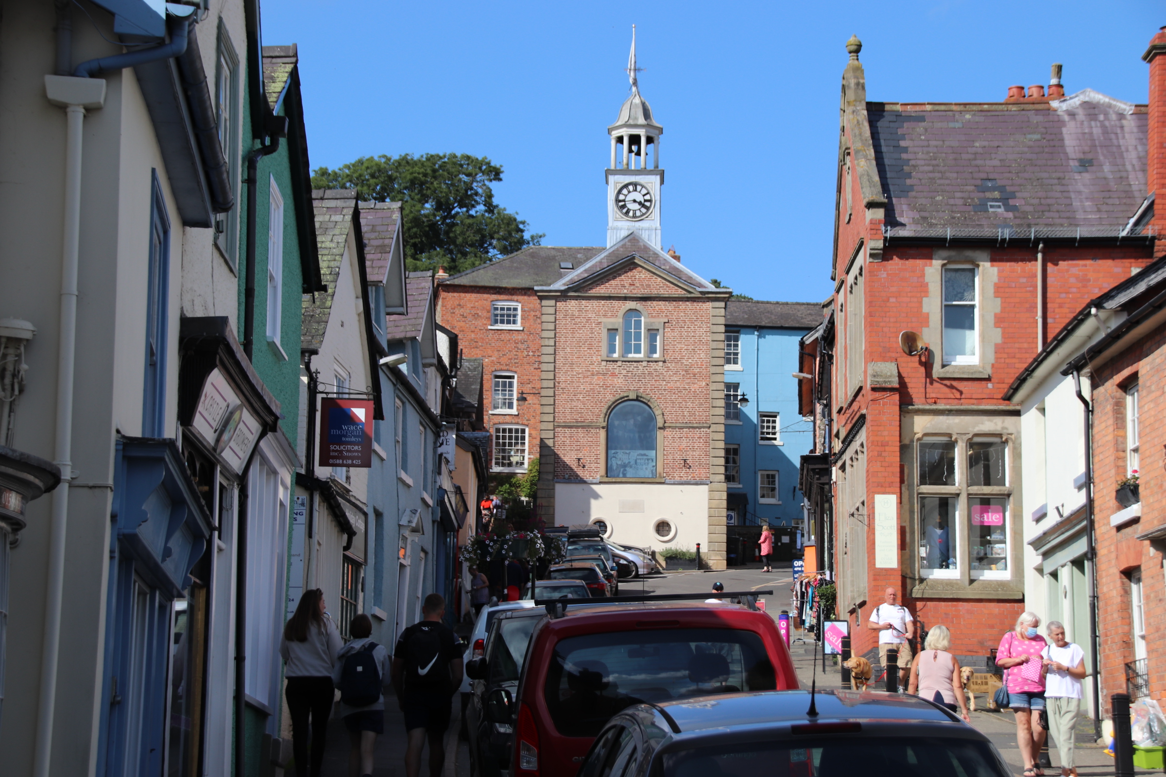
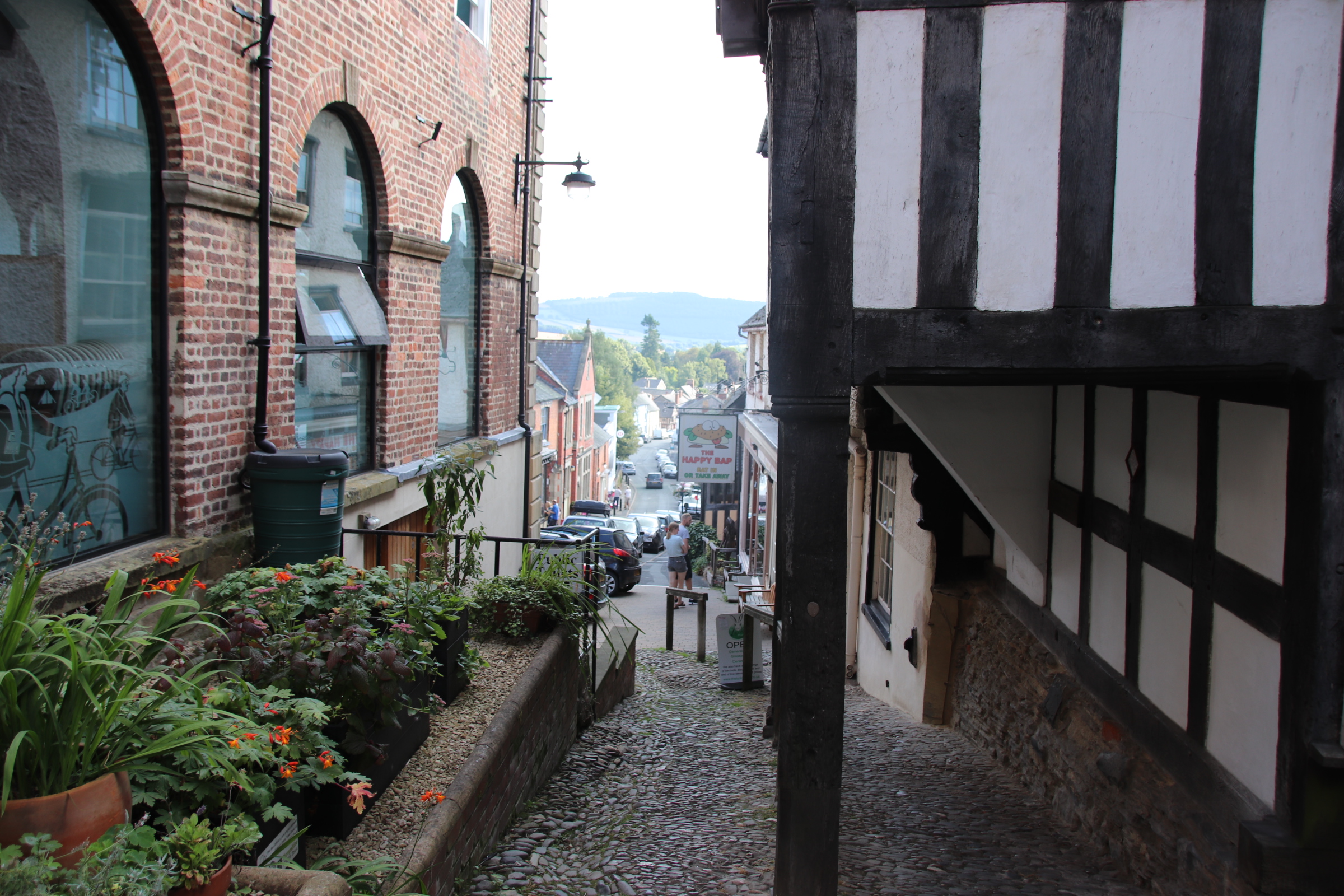
I’ll lleave you with the charmingly, quaint Bishops Castle. No sign of either except a shop or pub or two.

Coalbrookdale – the birthplace of the Industrial Revolution

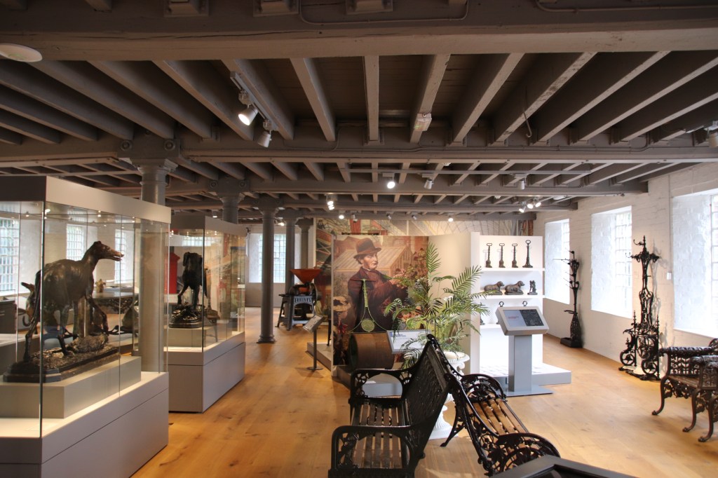
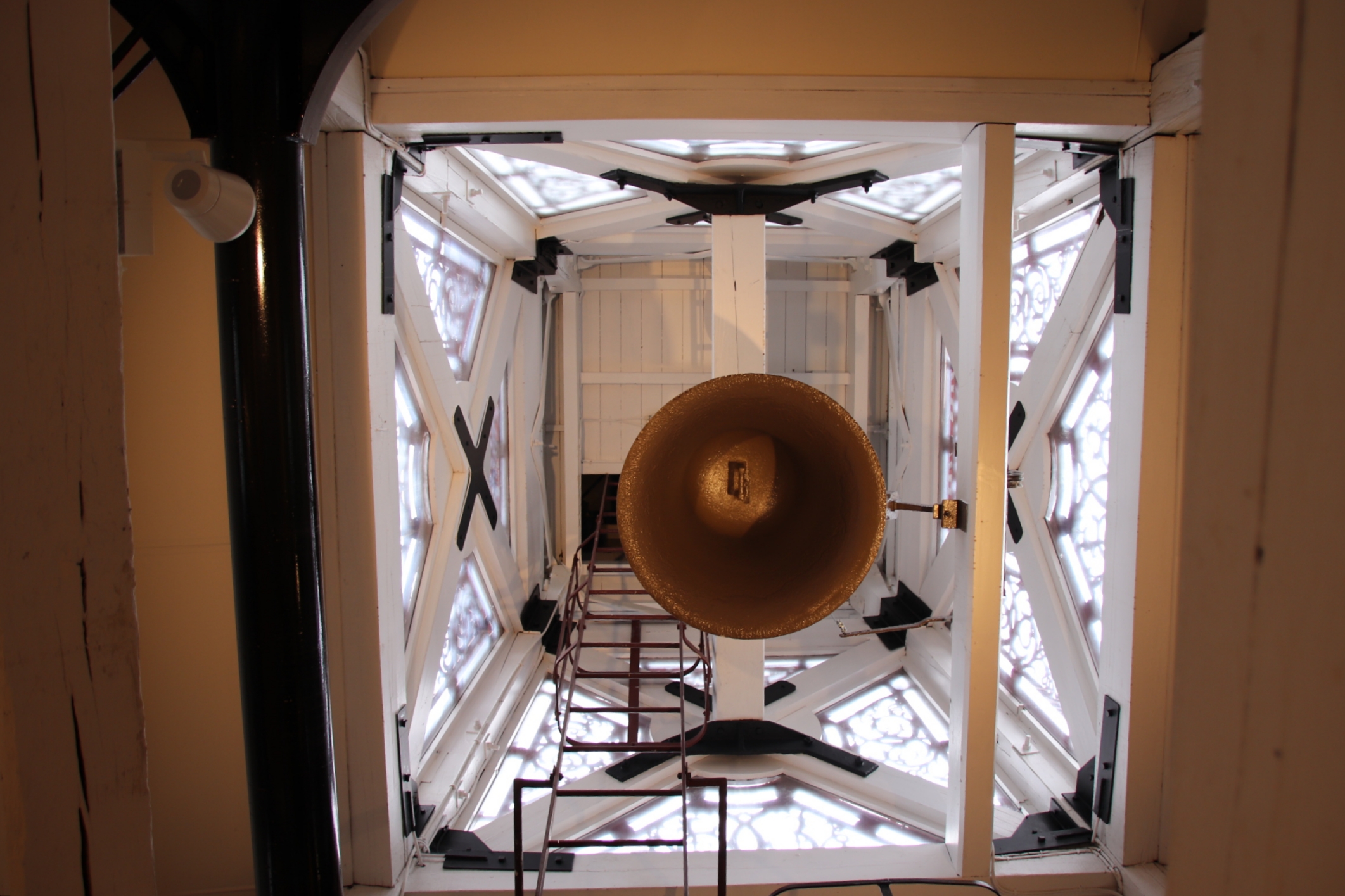
The Coalbrookdale Museums tell the fascinating story of how the local methods of iron production developed over the centuries to enable the large scale manufacture of metal tools, machinery & vehicles used in every aspect of domestic and business life all over the world. It was here that attempts to produce iron in large quatities were tried & tested and the first Darby blast furnace was constructed in 1709.

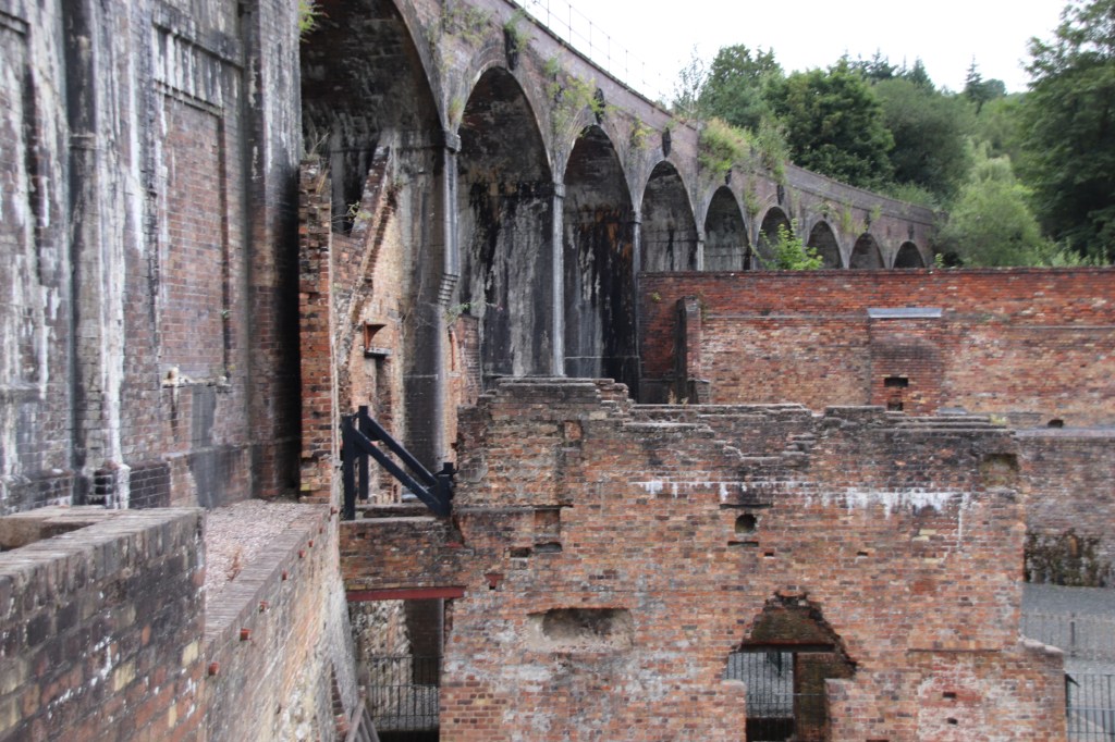
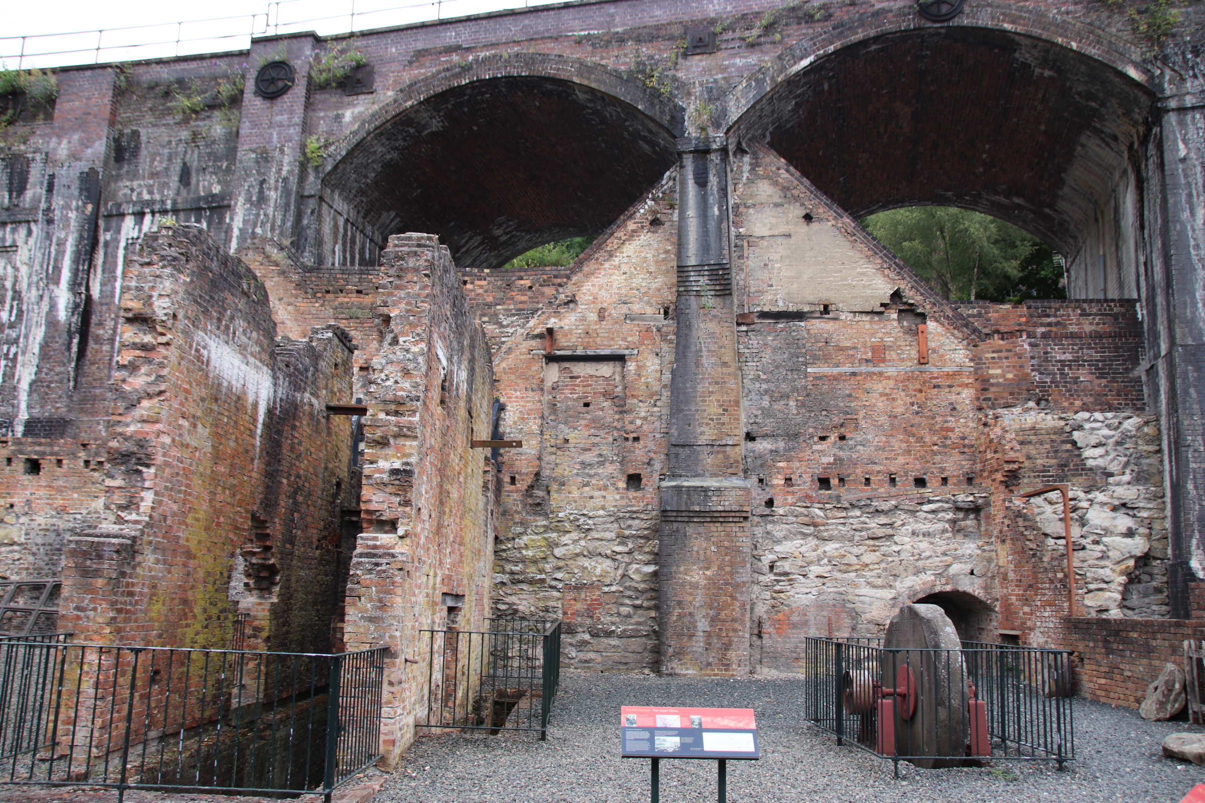
The railway was built through the factory buildings at a later date. Iron production involves the firing of prepared amounts of linestone, iron ore & coke (semi-burnt coal) in a furnace at exceptionally high temperatures of 1,000+ degrees centigrade, high enough to melt the ore. The resulting melted pig iron flows from the bottom of the furnace and is cooled in sand moulds.

This is the original furnace. Imagine it twice the height. Two men, working in 12 hour shifts, would have continuously filled the furnace from the top with the three elements, thus keeping the furnace going 24 hours a day and 7 days a week because if it went out & cooled down the furnace would crack. Another man was responsible for letting the pig iron flow from the hole in the bottom into an arrangement of channels that reminded folk of a litter of piglets feeding from the udders of their mother.

To keep the temperature up a huge water wheel powered two enormous bellows which blasted a continuous stream of hot air across the bottom of the furnace.

The original buildings that made up the iron works have been converted into a cafe and museum displays but the feel of the origial blast furnaces remains.

Blists Hill Victorian Town near Ironbridge is gorgeous

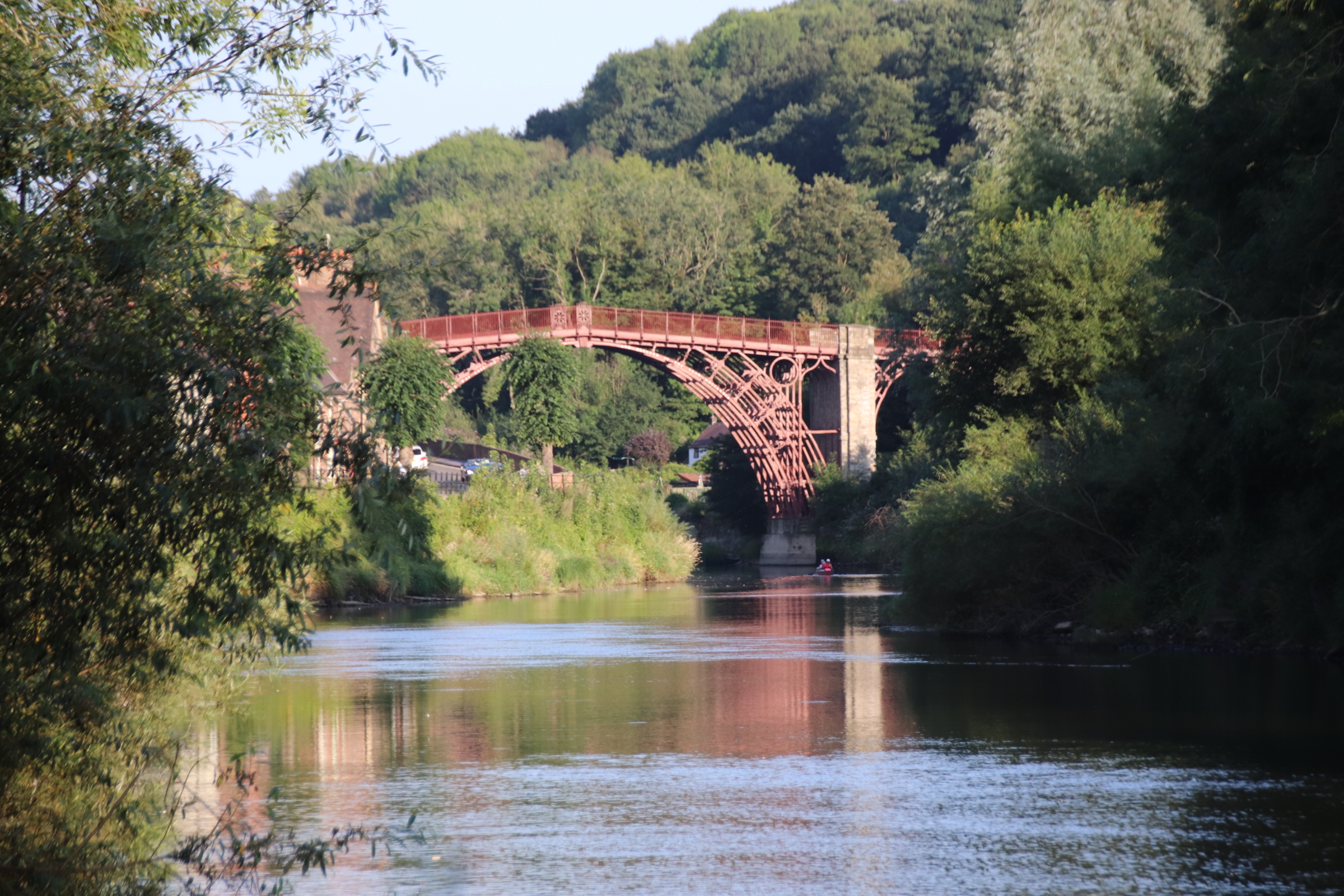
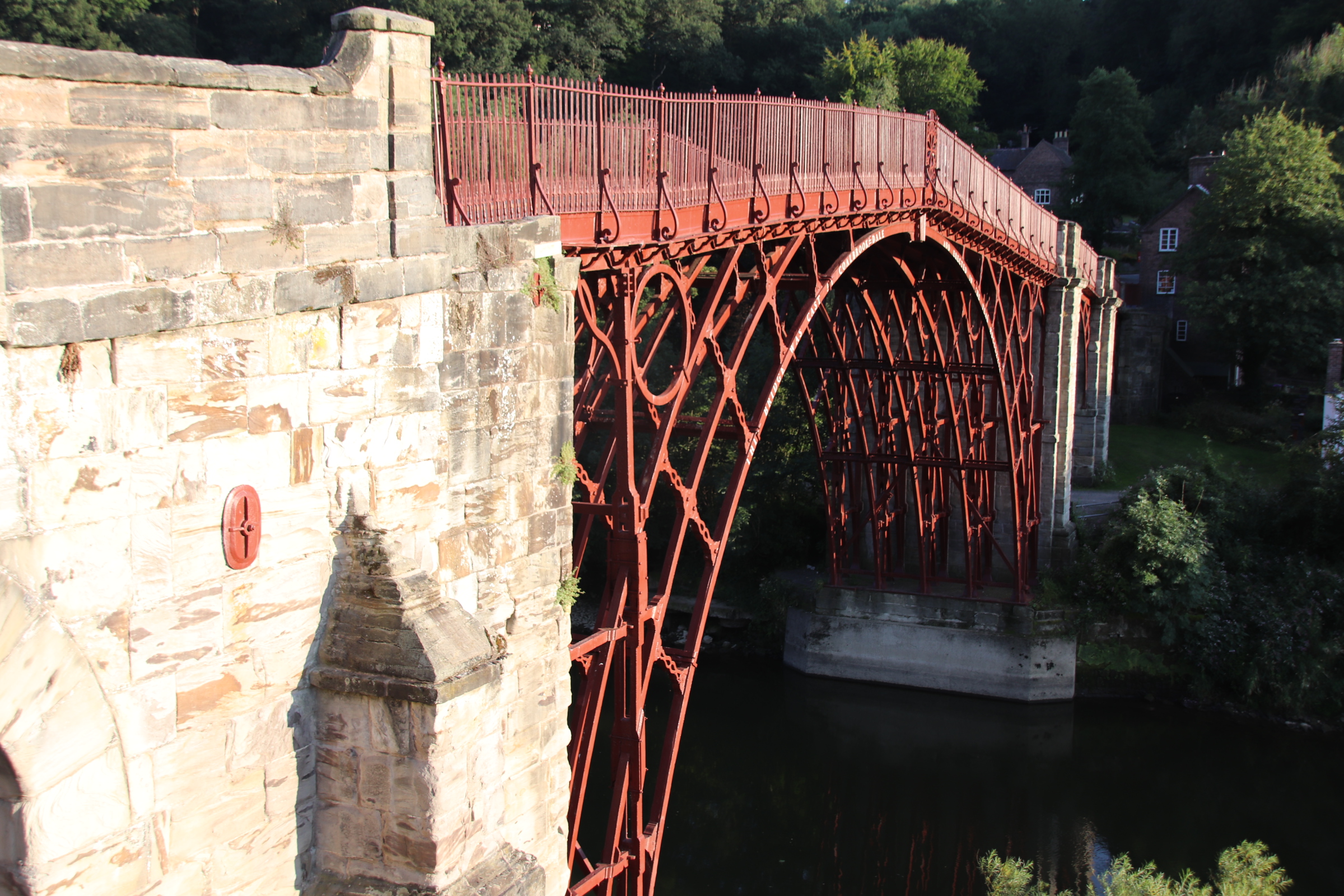
Well, maybe not gorgeous but still, pretty impressive, standing on the hillside above the gorge where the Severn cuts through the Shropshire hills. The village of Ironbridge is just that. A cluster of houses around the first cast iron bridge in the world, built in the late 18th century. In the early evening sun it looks particularly impressive.

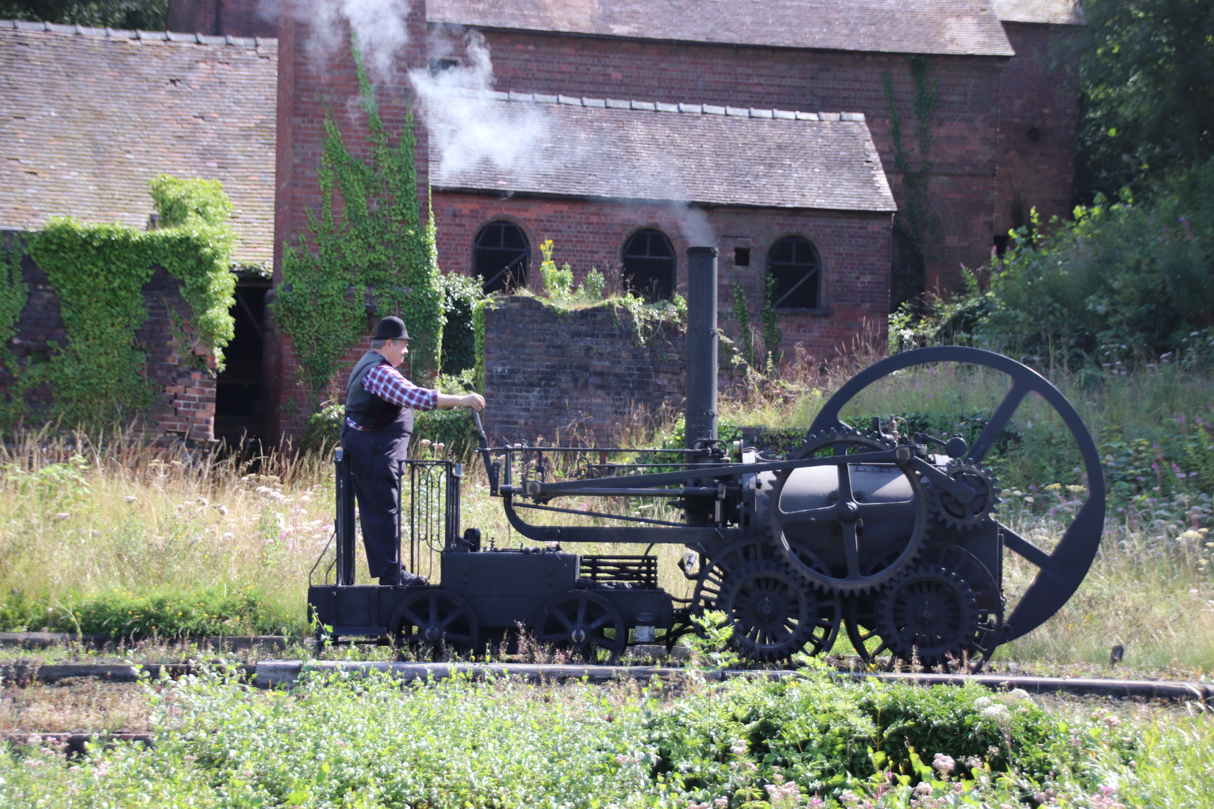
Blists Hill Victorian Town has been created around two originall industries that existed here in Victorian times: the brick and tile works

and the iron works

It is here that men worked 12 hour shifts in the blast furnaces, pouring slag down to create blasts of hot air 24 hours a day firing molten iron at over 1,000 degrees centigrade.

The rest of the town was built up around these two industries to provide to visitors an idea of how hard life was for the workers at that time. It may look idyllic today but in those days it was hard.

I’m the only one talking; I’ve been sent to Coventry

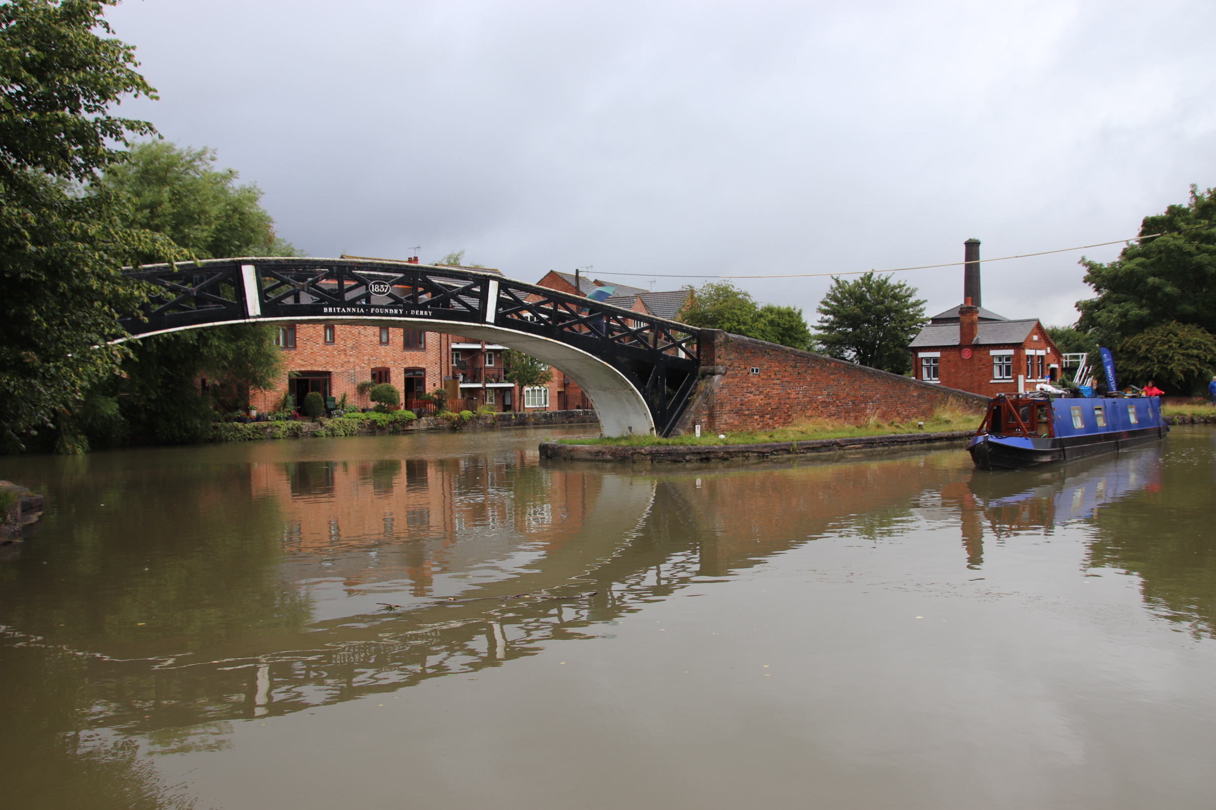
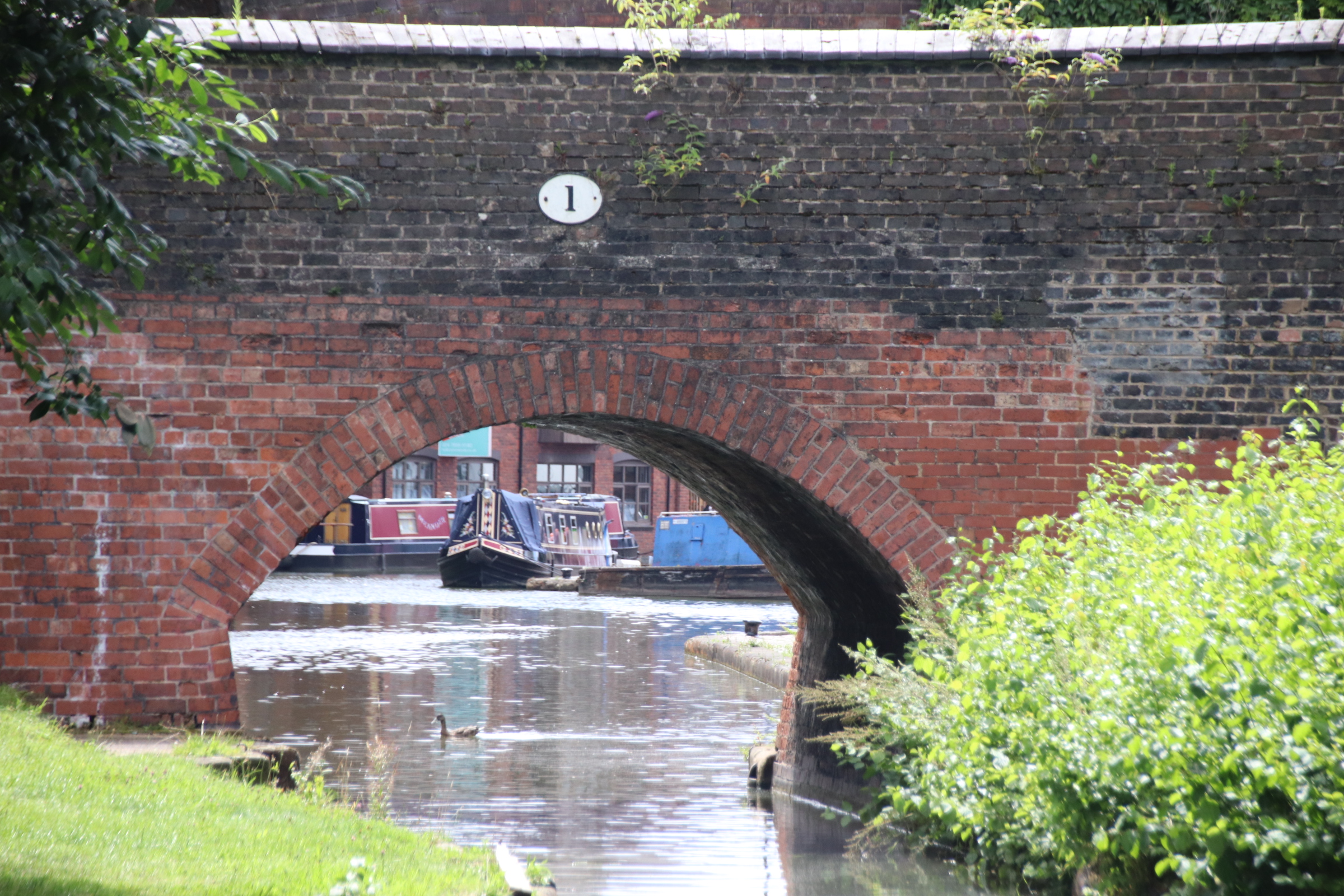
Today was all about finishing my journey along one canal and beginning my next trip along another. The Oxford Canal joins the Coventry Canal at Hawkesbury Junction. These two are the oldest canals on the entire UK waterways system.

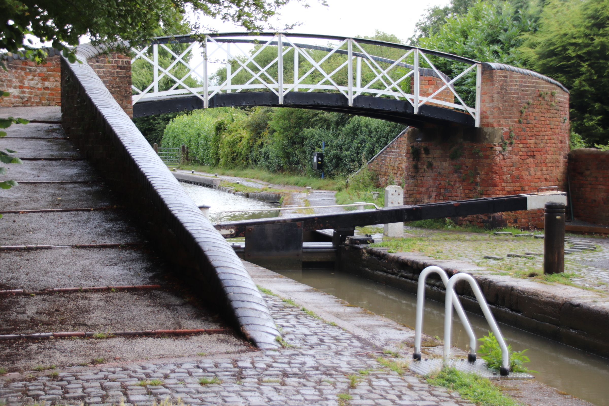
For a while they used to run parallel to each other but relations were not good between the two canal companies. The Coventry was built first and three years later the Oxford powered up to join it. But they couldn’t physically join as the Oxford was 9 inches higher and they were worried that their competitors would steal their water.

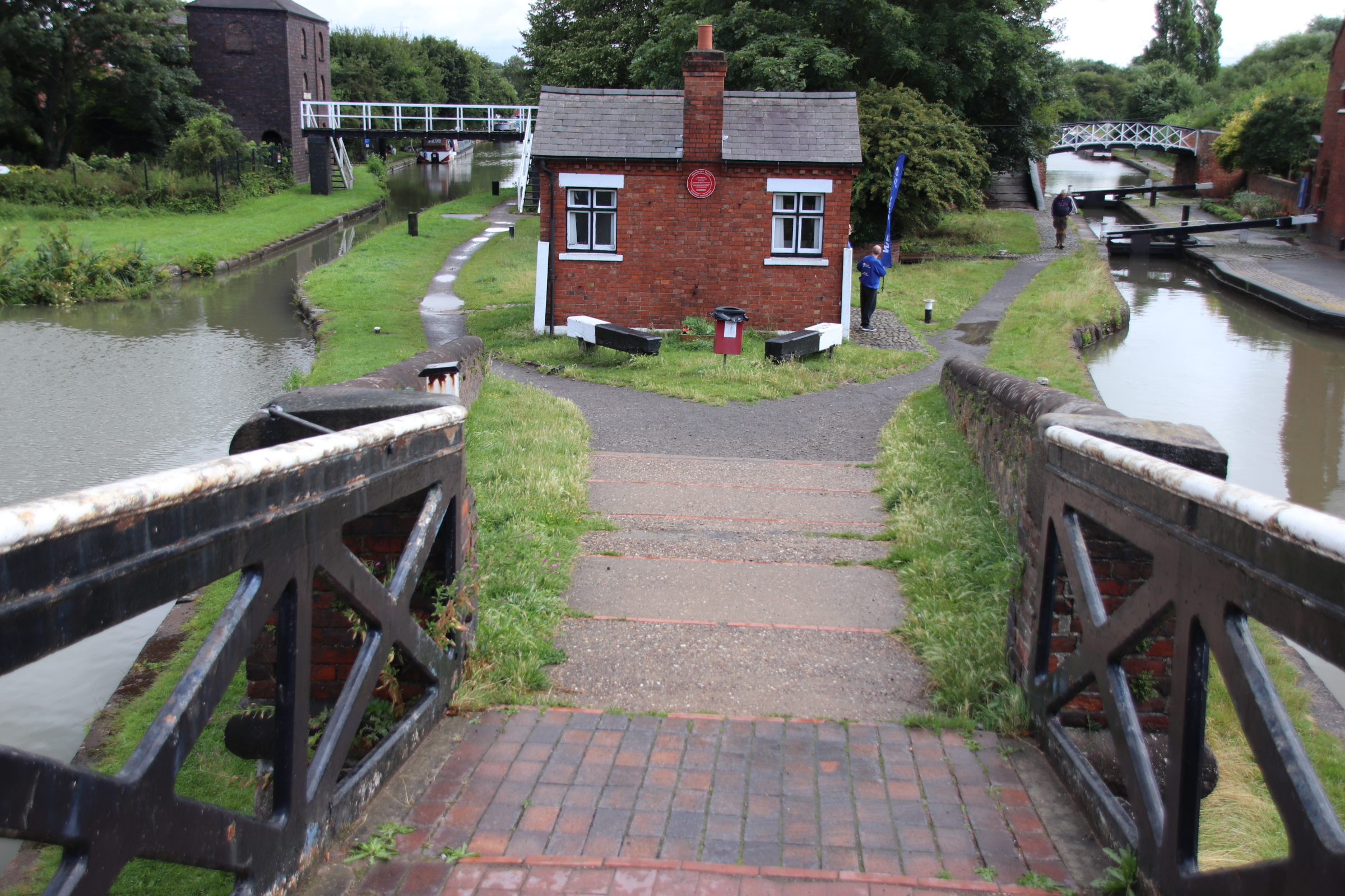
The Oxfird on the right had to build a last lock on their section to enable the two waterways to flow in unison. Here you can see the toll house in the middle, the lock-keeper’s house on the right and the pump house for the Coventry on the left.

Swopping canals, it is a short leg of seven bridges into Coventry Basin from here, passing through the town’s established Asian communities on one side

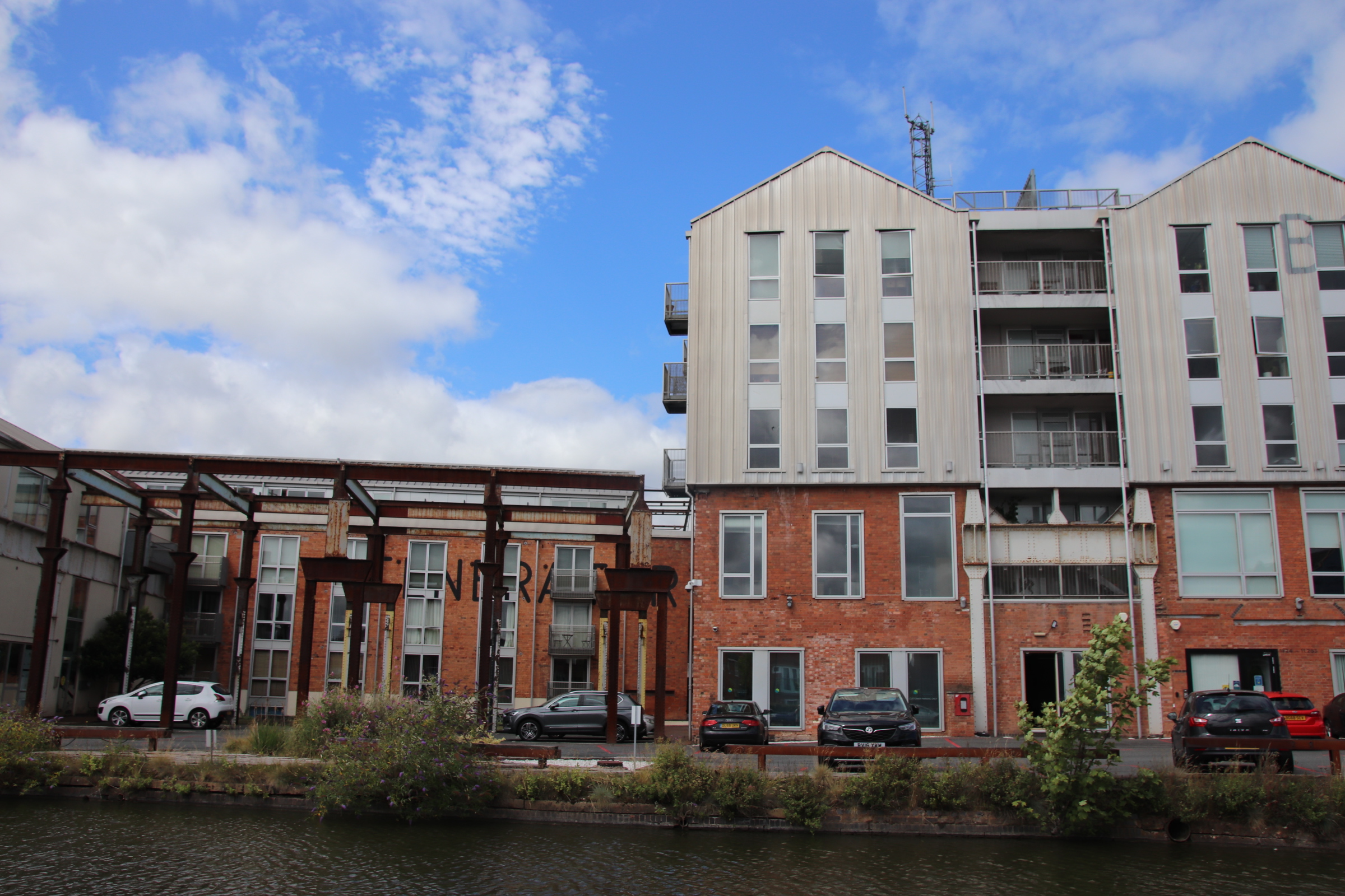
modern canal side housing, some of which incorporates past industrial structures

and monuments to past industrial giants. The only evidence of the first car production line in the UK that remains, the Daimler factory, is the pump room here.

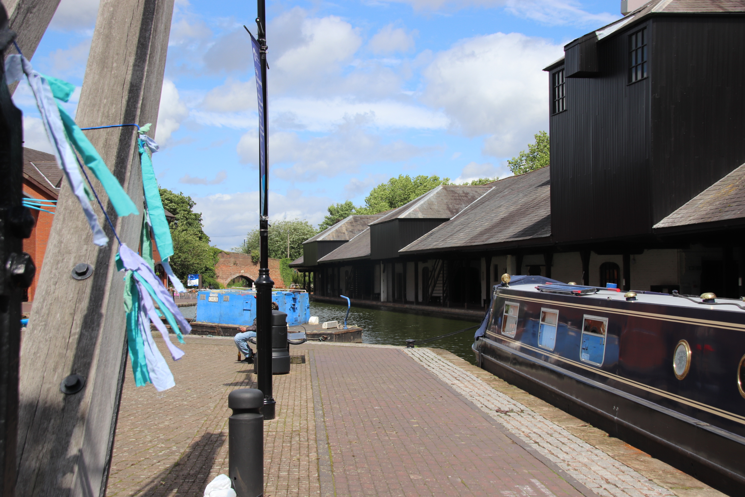
Coventry Basin has been tarted up a bit but you can still feel, despite bringing surrounded by modern apartment blocks, the bargees at work, moving goods around warves and warehouses, especially coal destined for Oxford & London.

Another working day at Hillmorton Locks on the Oxford Canal

Just taking a couple of days out to complete my road trip on my last section of the Oxford Canal. I came across one gem of place on the northern fringe of Rugby which has several unique features. The flight of locks at Hillmorton consists of three pairs of locks separated by long pounds. Double the traffic can pass through, if neccesary passing in opposite directions, depending on the volume of boats.

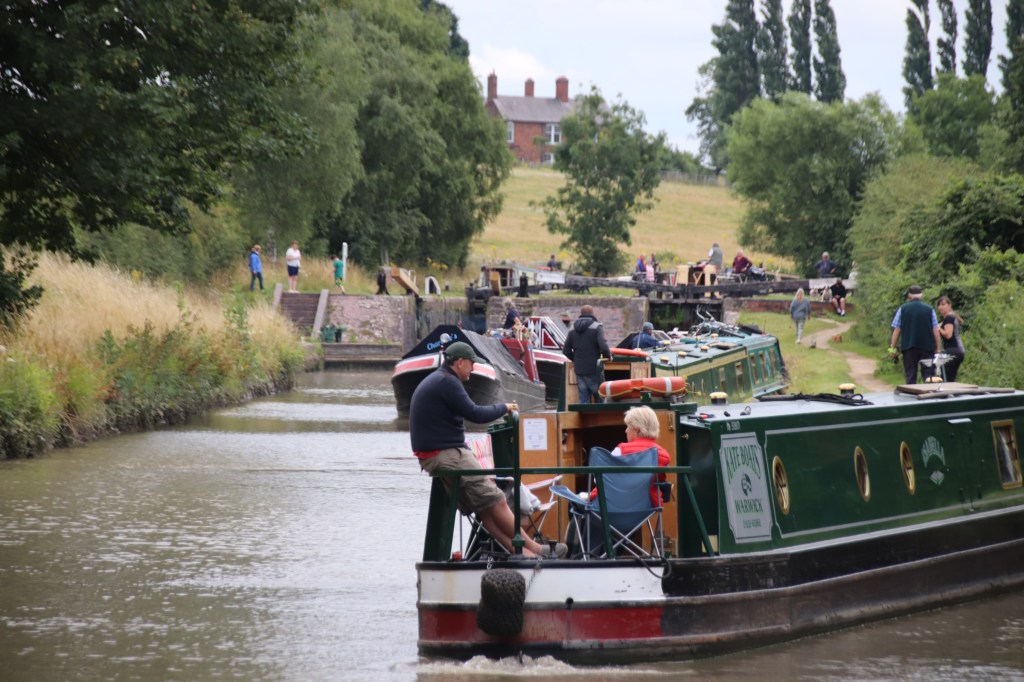
This is the busiest flight of locks on the entire UK canal network. At 1230 the volunteer managing the top locks had passed 36 boats through, down its two lower cousins and I counted 12 more waiting to enter the small flight.

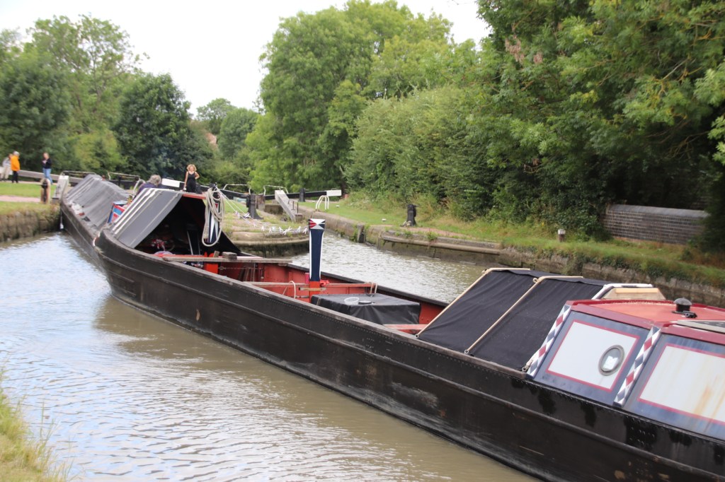
Part of the problem was the passage of a working boat through the flight. This in itself is not an issue. What held things up was the fact that the main boat was towing a support barge that had no engine. This meant that as the pair approached each of the three sets of locks, which could only hold one vessel, they had to use both locks. This meant turning up at the entrance, untieing the towrope, manually moving the towed barge into one lock and once in place, manouvering the tug barge into the other lock, passing through, reversing to connect to the towed one and moving on. Phew, I’m exhausted just describing it. Once takes a while, three takes a while longer. And when the water level in the middle pound is so low that the boats get stuck, it takes even longer still.

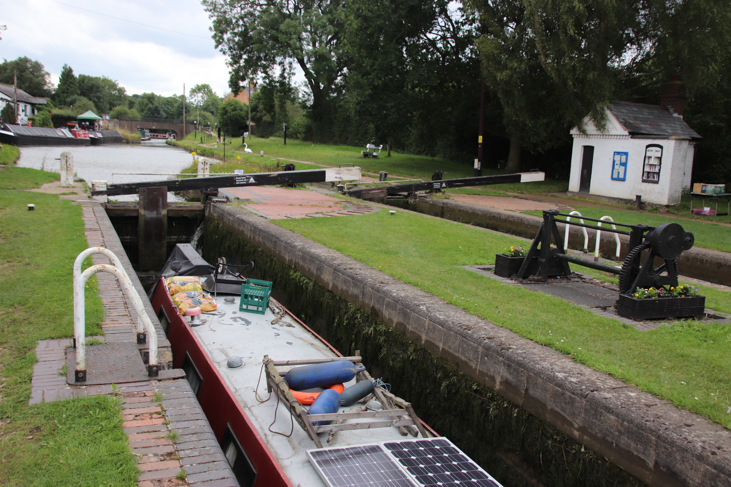
At the bottom lock there is a Book Exchange, a busy working boatyard, a good cafe and numerous canal-based industries, including a compost toilet manufacturer.

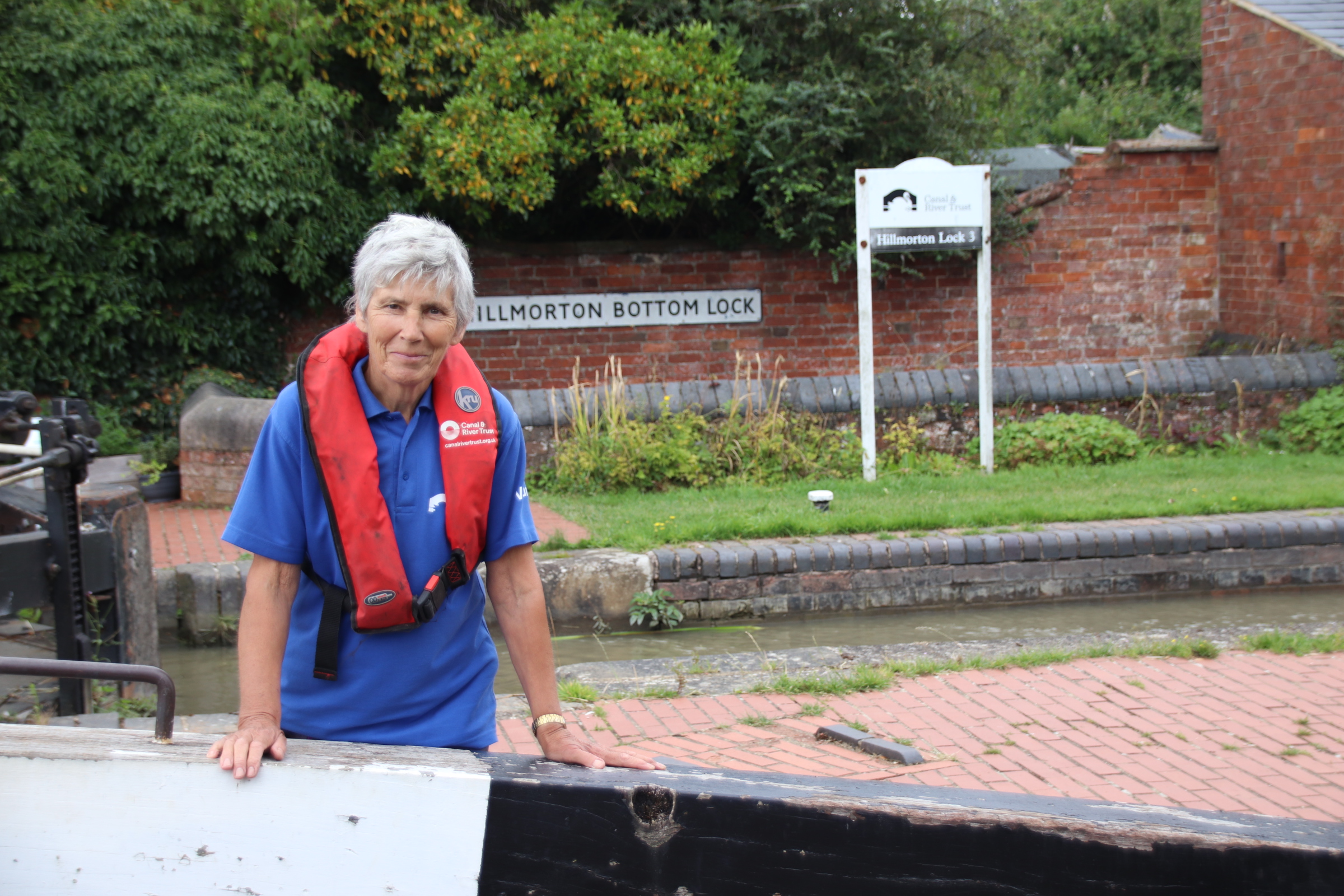
I leave you with this lovely lady. A volunteer at the bottom set of the flight, helping the casual user to open gates, release water and having to remind some of them to shut the door when they have finished.

Three Welsh beaches through the rain clouds

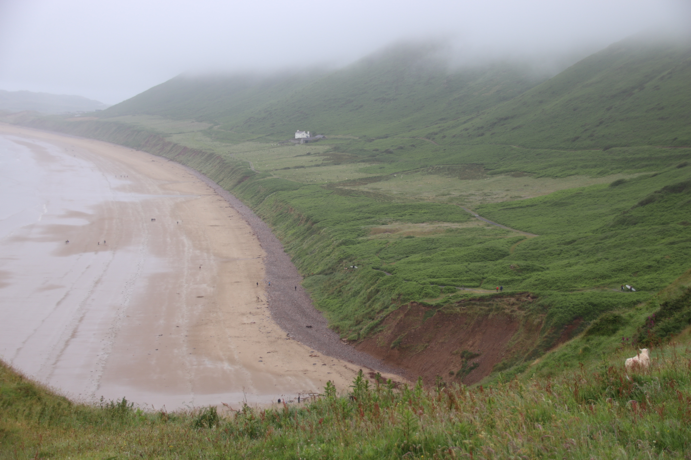
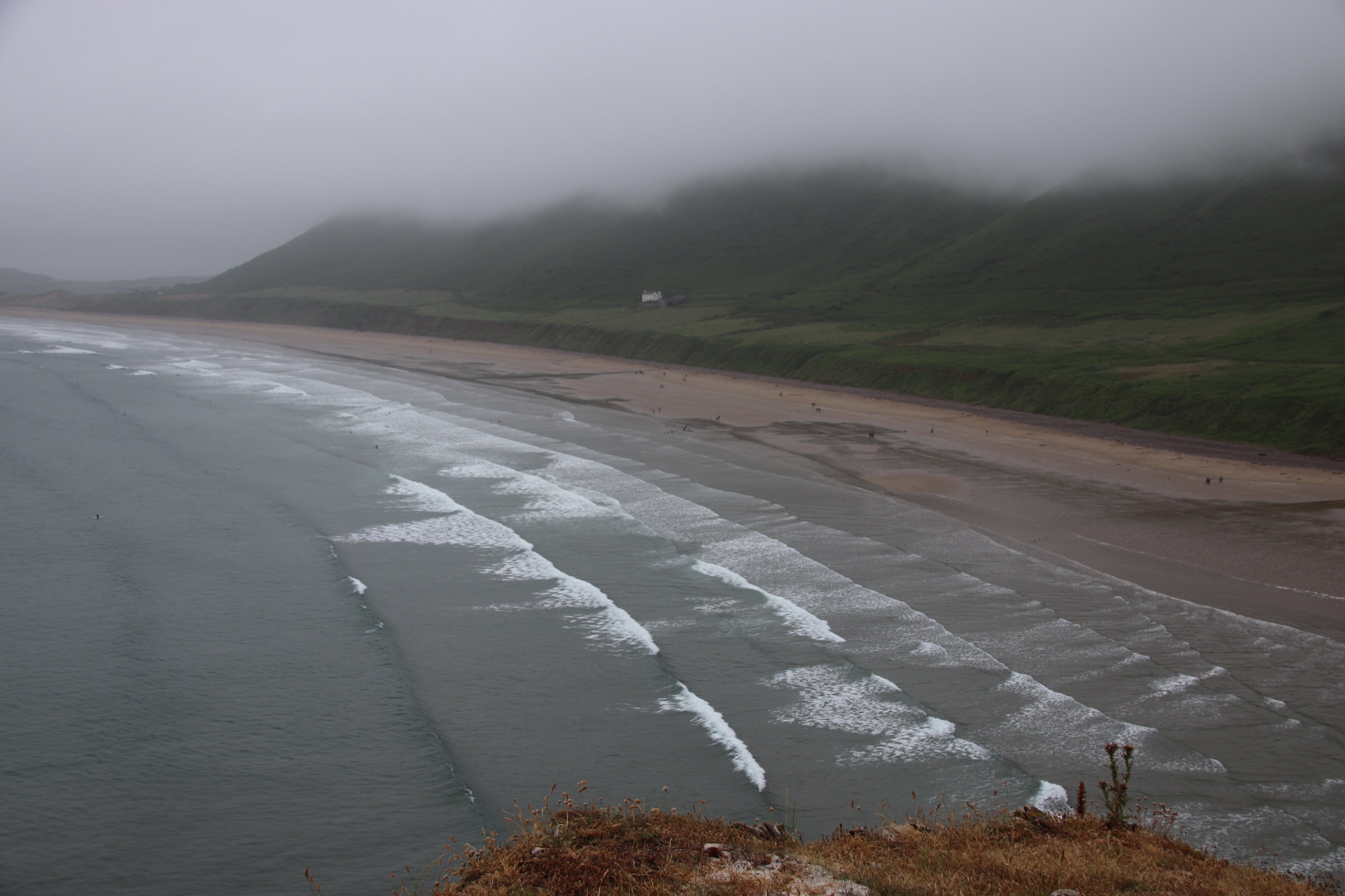
What a difference a day makes. The Mumbles looked glorious under blue skies. The journey to Pembrokeshire, via Rhossili, was carried out under grey, crying clouds. At least the rain stopped at Rhossili leaving a level of low mist to cover the peaks around arguably the best beach in Wales, if you have the legs to get down to it with or without your surf board. It was eerie and ghostly with swirling wisps of cloud revealing secrets to the remarkably high number of visitors, considering the weather.

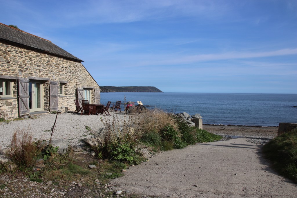
The rain and drizzle continued through to Pembrokeshire. That righteous part of my clean living did me proud again with the skies clearing on arrival to to the prettiest converted barn imaginable overlooking Dinas Head and the village of Newport.

Having provided a glimpse of what’s on offer, the clouds drew in overnight. Wet weather could be heard on the skylights. In the morning, during a respite in the cloud-dumping sessions, I opened the back door. The glory of the silence that squashed against me was overwhelming, only disturbed by the bleeding of the occasional sheep in the neighbouring field.

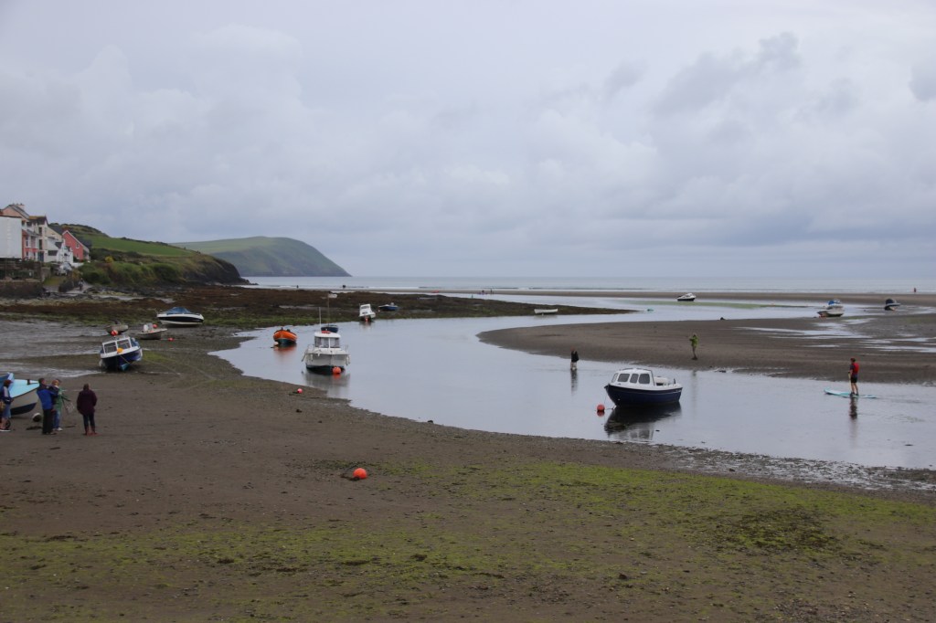
The rain was not going to cease completely today and so it was out and at ’em, what ever the sky threw down. Newport is a lovely village with picturesque cottages, pubs, restaurants and unique, independant craft & tourist shops. Parrog beach runs along the side of the mouth of the River Nyfer. With the tide out it is like a wet snake, slithering through the muddy, sandy squelch of the estuary.

Crossing the river to the north, the road rises around to the golf club and down to the town beach on the opposite side.

Greys of clouds darken in the distance and approach relentlessly, waiting to dump their loads on the sands. Human activity continues unabated, providing endless entertainment for an appreciative audience – those attempting to remain upright on their new paddle boards, dog owners loosing control over their excited, pedigree, designer-dogs despite calls, whistles, treats and leads. Have a look at these atmospheric images:

I couldn’t resist this one. This little girl is anxiously waiting for her granddad who has been down to the sea with a bucket and spade in which to collect water especially for her and their sand castle-building efforts.

Mumbling on about The Mumbles on race day

So what does a day out in The Mumbles look like. It can be very energetic for some. For me it contains s lot of slow strolling from bench to bench along the front which are at least 10 metres apart, from the centre of town to the pier, a distance of 800 metres or so. During this time a lot of observation takes place, admiring the activity of others.

One is immediately hit by the rate of different activities along the promenade which stretches all the way from Swansea around to The Mumbles, all of 5 miles or so. It is divided into two lanes. One is depicted by two people holding hands – for lovers or more generally, pedestrians with the occasional panting jogger. The other sign has the symbol of a cyclist. Now, this term can vary between the hire-bikes ridden gently by those unused to demanding activities and those cycling sleek road bikes at ferocious speeds who are totally unable to stop if a two-legged user strays into the two-wheeled lane. Somehow, there are no collisions.

First things first – the first coffee of the day is always the best. In amongst the parked boats, most of which are tatty, dirty, scruffy and look like they would sink if they even got close to water, are several coffee shacks/vehicles. That took sun a good hour sitting and chatting to Joy, a senior local who sang the praises of her home town.

The next stop at the launching ramp, which passes for the town harbour, was for a similar period of time, watching the boats unloaded from trailers, getting rigged and setting off across the bay to the starting line up for a days racing. Sadly the wind was only whispering so it took a while to get over there.

Now these guys were really important and ready to spring into action. They were the Race Support Team. If a boat got into difficulty miles away on the other side of the bay, they would have to get straight back, with no wind to speak of, and the team would jump into action and sort out any problems. What a responsibility!

A lot of time was spent watching others engaged in busy activities. Fishing was the most energetic, as was watching the fishermen.

There was a lot of ice cream consumption taking place by people of all ages.

Gentle activities include family swimming, leisurely paddle-boarding, launchng private boats & dingies.

Up at the pier tea is of course essential.

But I am looking for a place to have a little dose. I have my eye on the benches at the end of the pier. The Mumbles has four RNLI lifeboat stations. Originally the local lifeboat was stored under the cliff but a proper building was built in 1866 around a ramp a few years after.

Two more stations and ramps were built at the end of the pier – the one on the left, now a host to a breeding colony of very noisy gulls, in 1922 and the other on the right in 2014.

I found a nice comfy bench and settled down for a nap. I was reassured that my security was taken care of by two new friends. I don’t know what my female pal was peeping at below.

Mumbling about in South Wales

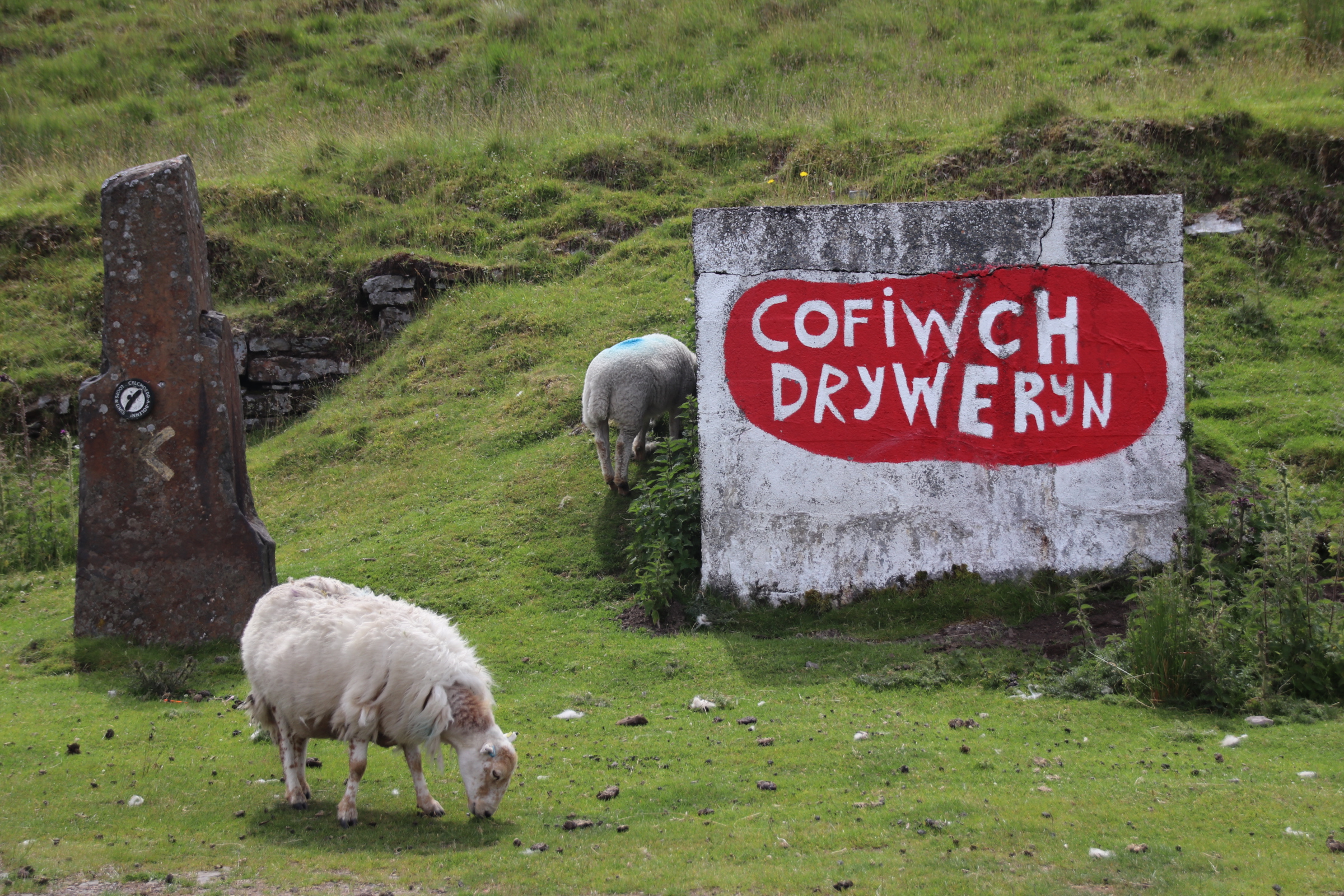
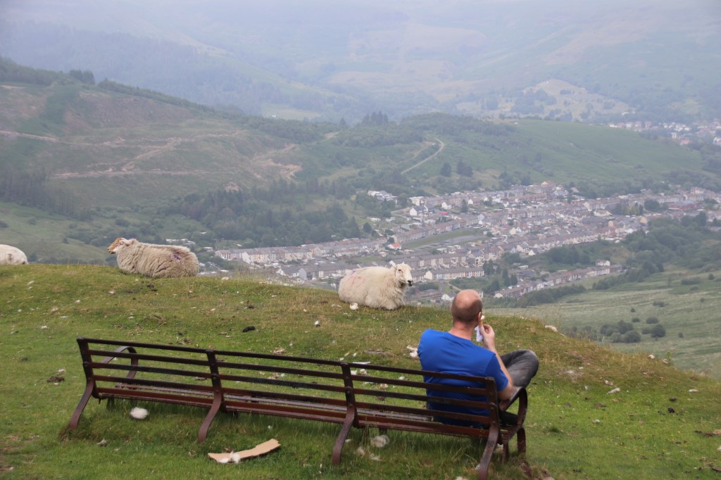
The title of the blog and the first image might give you a clue about this road trip.

A large concrete block, with consonant-heavy words, short chomped hill-grass and a couple of rather manky mountain sheep with tattered fleeces give it away. I am on my way over to the west coast of Wales and breaking the journey for a day in The Mumbles.

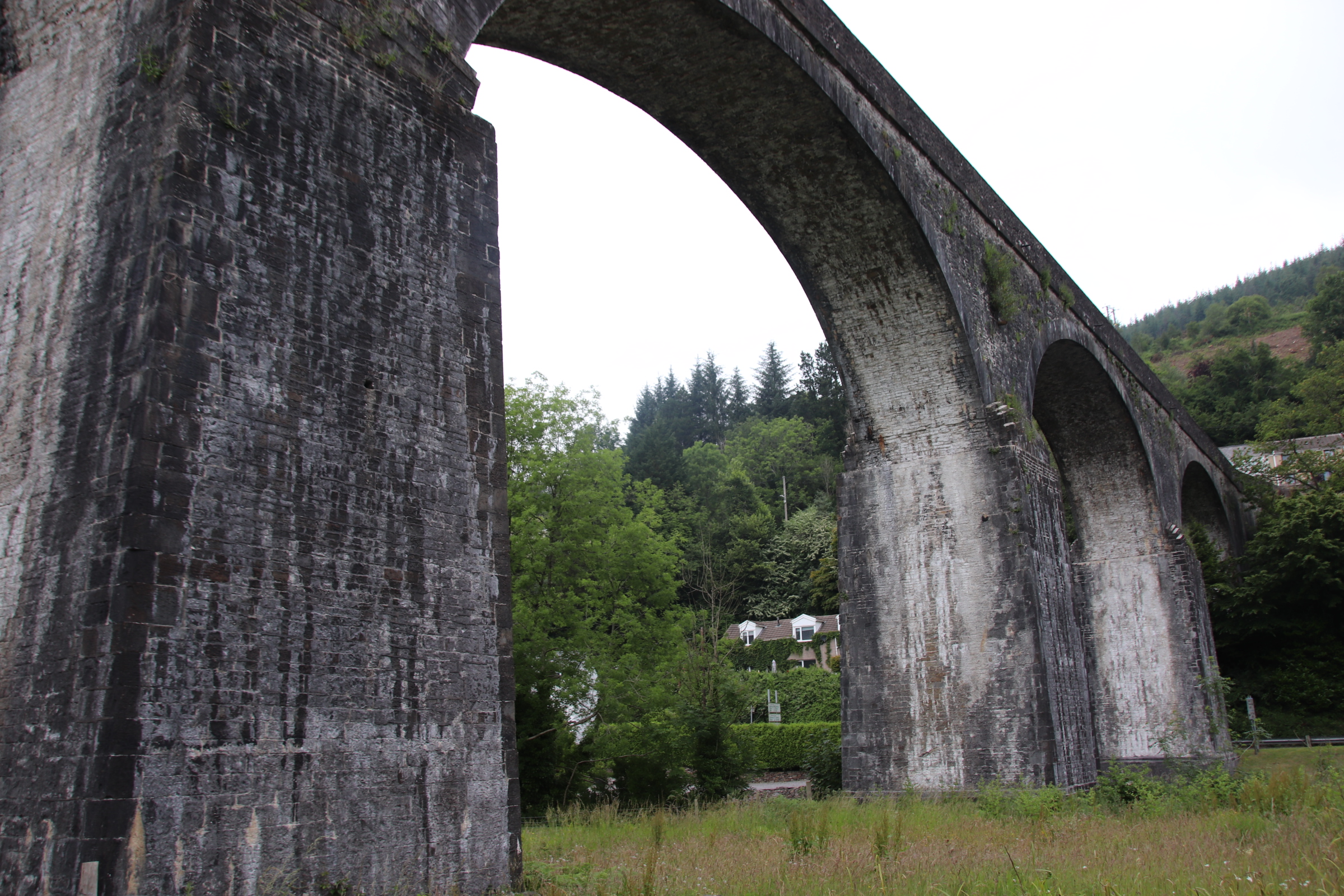
Once across the southern-most bridge over the Severn and past Cardiff, it is a right turn up into the hills and valleys of the Rhondda and Wales’ industrial past.Along the top of the valleys the road passes through countless mining communities with relics of their industrial past, tall chimneys, lift machinery, foundry buildings, standing empty, usually dilapidated, but still proud above the strings of workers’ terraces that line the road and lasso up and down the hillsides. Even this aquaduct shouts out its heritage, built in 1827 to carry water to an iron works three miles away.

Above the mining villages the road rises to the Brecon Beacons with parades of wind farms behind, their upper rotations hidden by haze and whispers of cloud. On the edge of a ‘long and winding road’, overlooking the valley communities, stands a rather sad, lonely single ice cream van selling coffee, icecream and home-made Welsh cakes (well we are in Wales!). It still gets customers – some more interested in the surrounding grass than the ice cream.

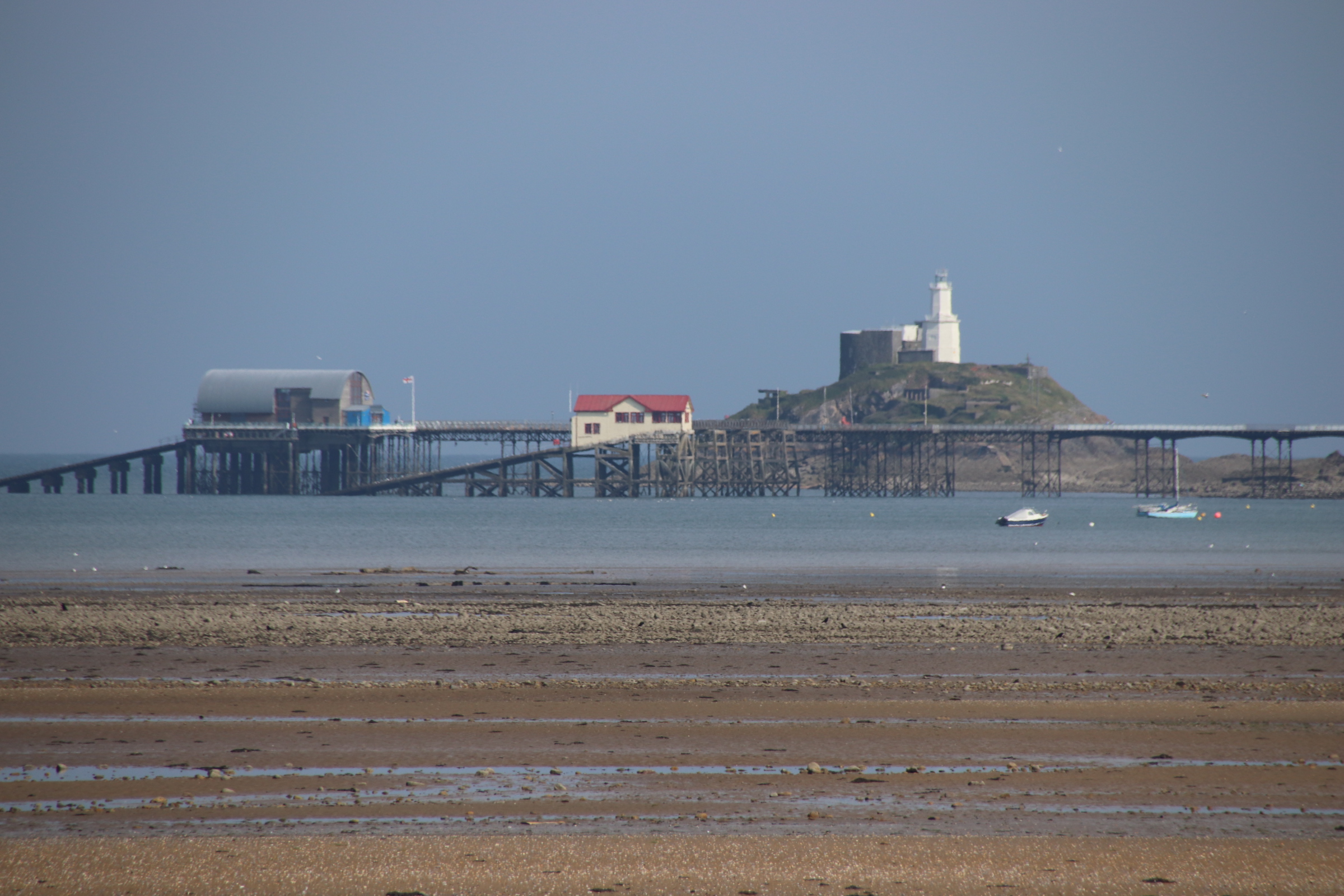
Following the head of the valleys eventually brings us down to Swansea and, by folowing the coastline, to The Mumbles, the guardian of the wonderful Gower coastline. Down to the Bay, looking left and right, respectivrly, along to Swansea and to the two RNLI lifeboat stations at the end of the pier.

Here’s a close up, with the lighthouse behind on the headland.

More about The Mumbles, tomorrow.

A UK Coastal Trip – IoW Cowes

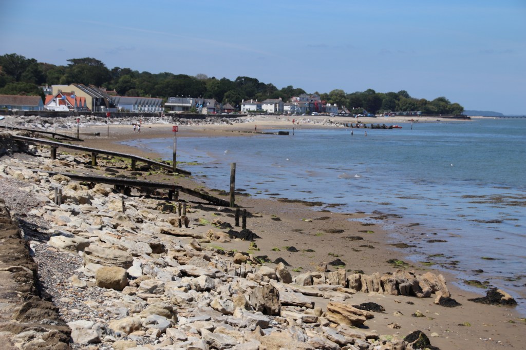
There is still enough righteousness in my tank for the sun to blaze one last day as I complete my circular tour around the coast of the Isle of Wight. The beach up to Cowes hinges at Gurnard. This small village has a line of tall, rather grand beach huts set along the esplanade. There are few people about even though the weather is ideal for time on the beach. Maybe this is due to the fact that the tide is coming in below the promenade, leaving a reducing amount of sand & pebbles to set the beach furniture on; will its a bit coarse to edit on. Only when school ends do the youngsters come down to mess about on surf boards and inflatables.

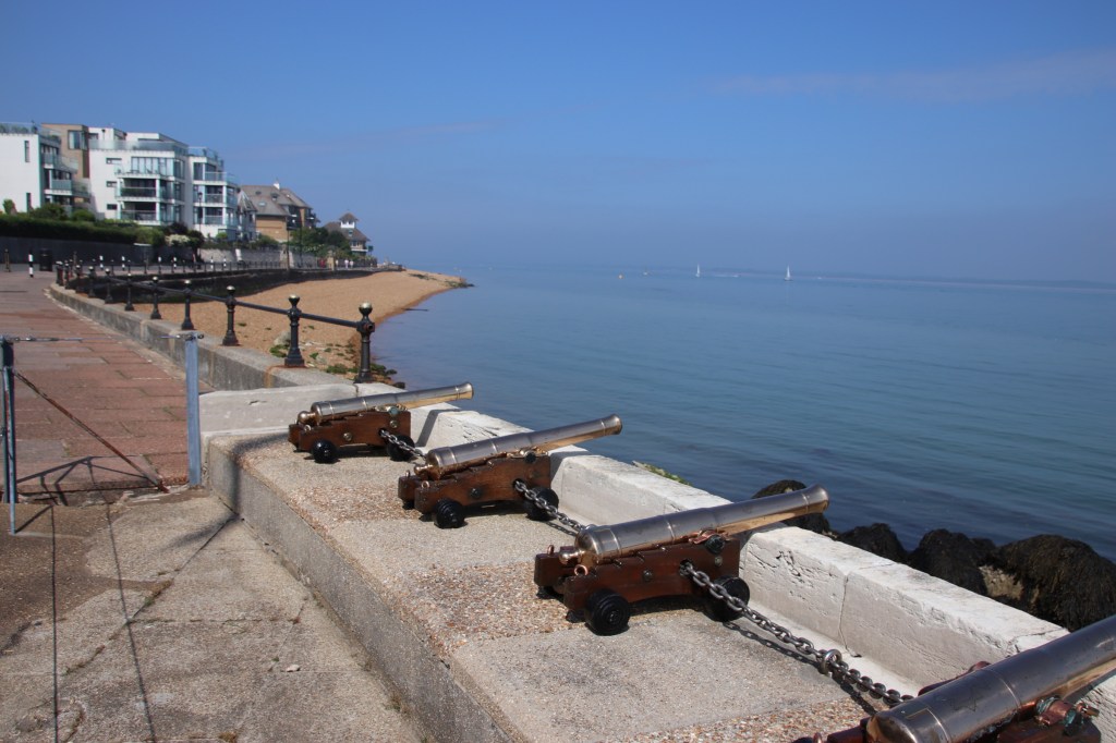
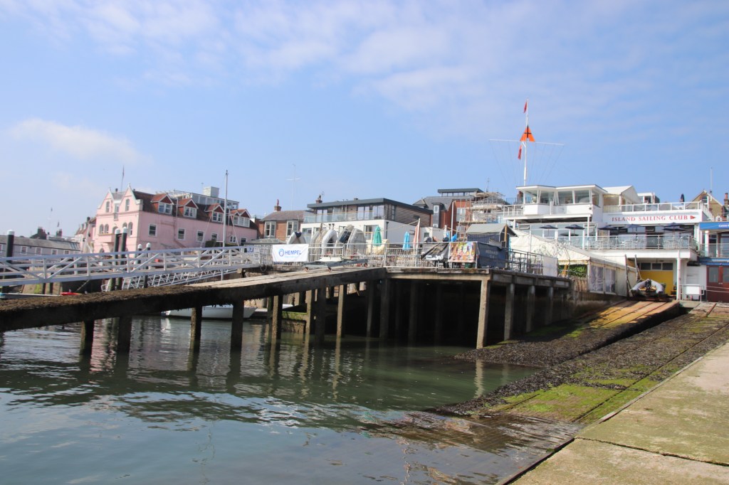
The pebbly beach, full of creams & tans & lattes like a caramel cream, chocolate chip ice cream, runs up to Cowes with the wide promenade keeping it company all the way. You know you’re in the town when you are welcomed by the Yacht Club with its crescent of small canon that signal the start of races.

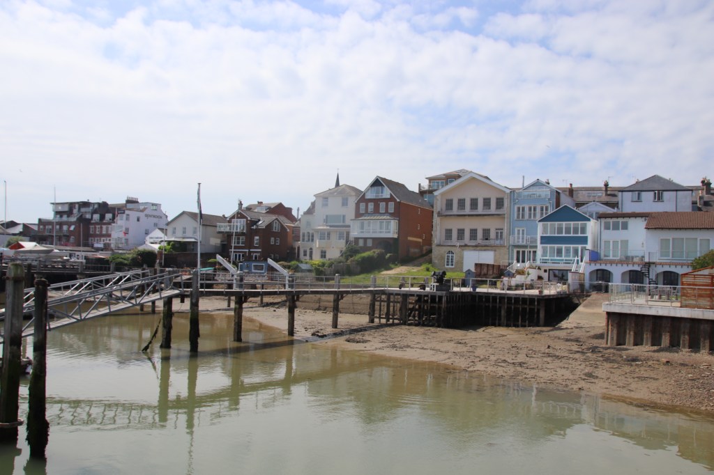
Next to the club a crescent provides parking for cars and a dropping off point for coaches, overlooked by some classy houses and hotels.

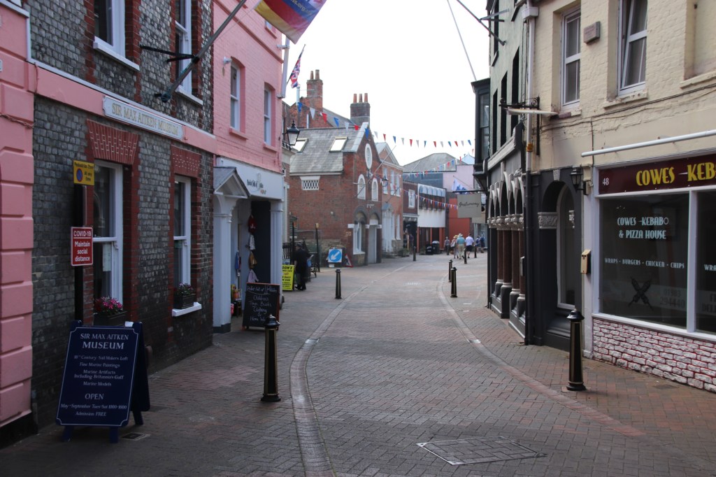
As the coaches spill their loads onto the pavements, fragile lines of slow-moving visitors move off into the narrow passages of the old town, all pedestrianised to facilitate the payment of dosh in the many cafes and tat shops.

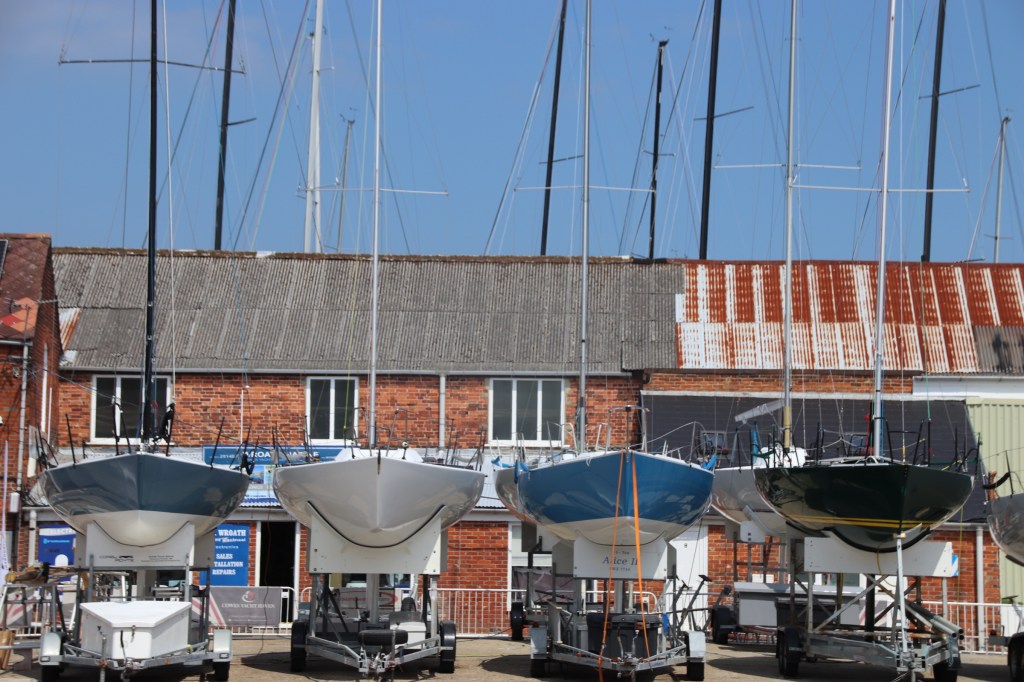
Around the edge of the old centre, lining the waters edge, are numerous boat yards hosting stands of pretty impressive luxury boats and racing yachts – Cowes’ main preoccupation & industry. Chandlers and boat suppliers display traditional goods and services amongst the tourist glitz.

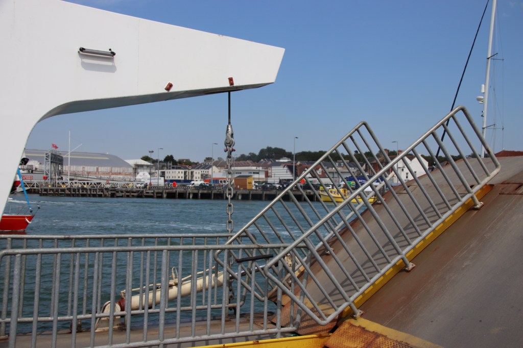
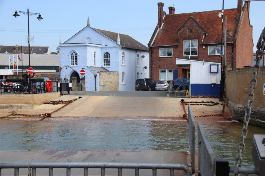
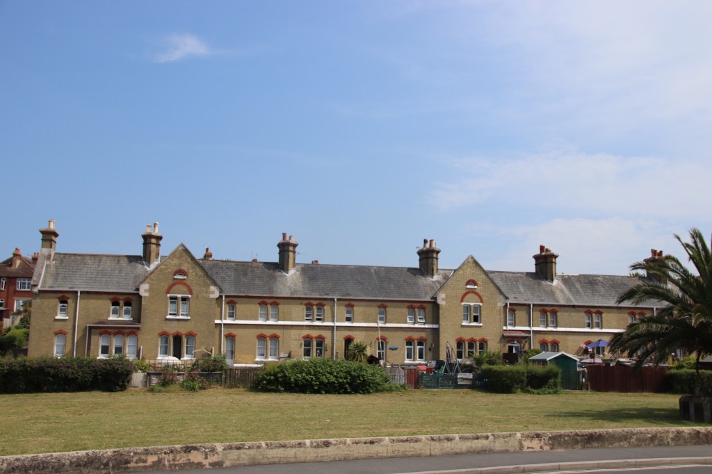
The chain ferry links the affluence of Cowes with the industry of its poorer brother, East Cowes, on the other side of the estuary. Smaller and less glamourous than big brother, East Cowes has been a centre for industry and ship building for centuries. In 1696 Nye’s Yard built a 32-gun battleship. During WWI 33 destroyers and at least 2 submarines were built in the town’s yards. The coastline here is way less impressive & glitzy than over the water. The open area behind the high tide beach is for family fun and recreation. Maybe this working town has done its bit in building up an industrial past. The propeller of HMS Cavalier stands close to the site of the Rope Works, in front of old workers’ houses..

Thank you sun and thanks to IoW. Has been a great few days.

A UK Coastal Trip – IoW Yarmouth

Well, I must have done something right sometime in the past cause the sun shone and shone and shone today. And when the sun shines every image looks amazing although I have to say that I visited some pretty attractive places and beaches.

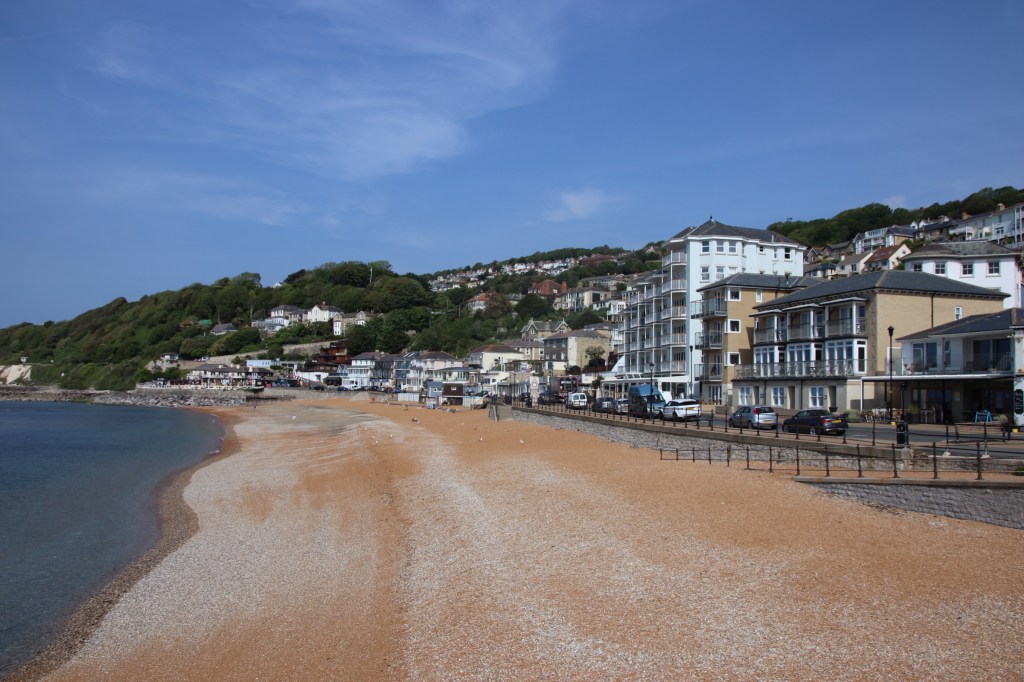
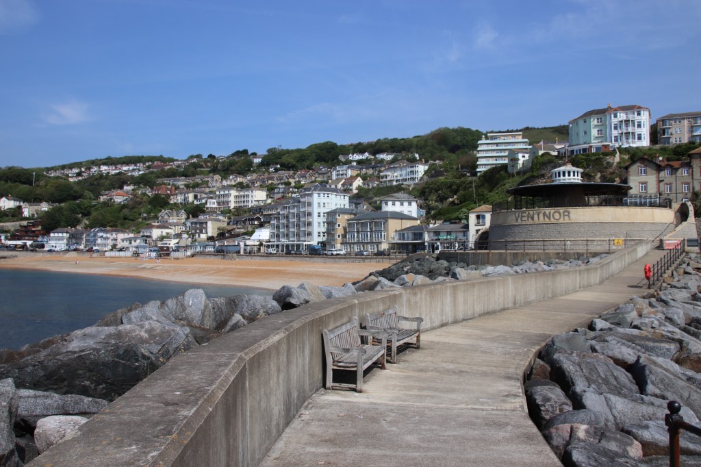
I started at Ventnor. I’d forgotten what a nice place Ventnor is, especially in that early morning light. I used to bring parties of children here in my early days as a teacher. The pier was still there then, before it was demolished in the 1990s following a fire. The site is still marked. But it is a lovely, calm resort with an air of respectability and prosperity.

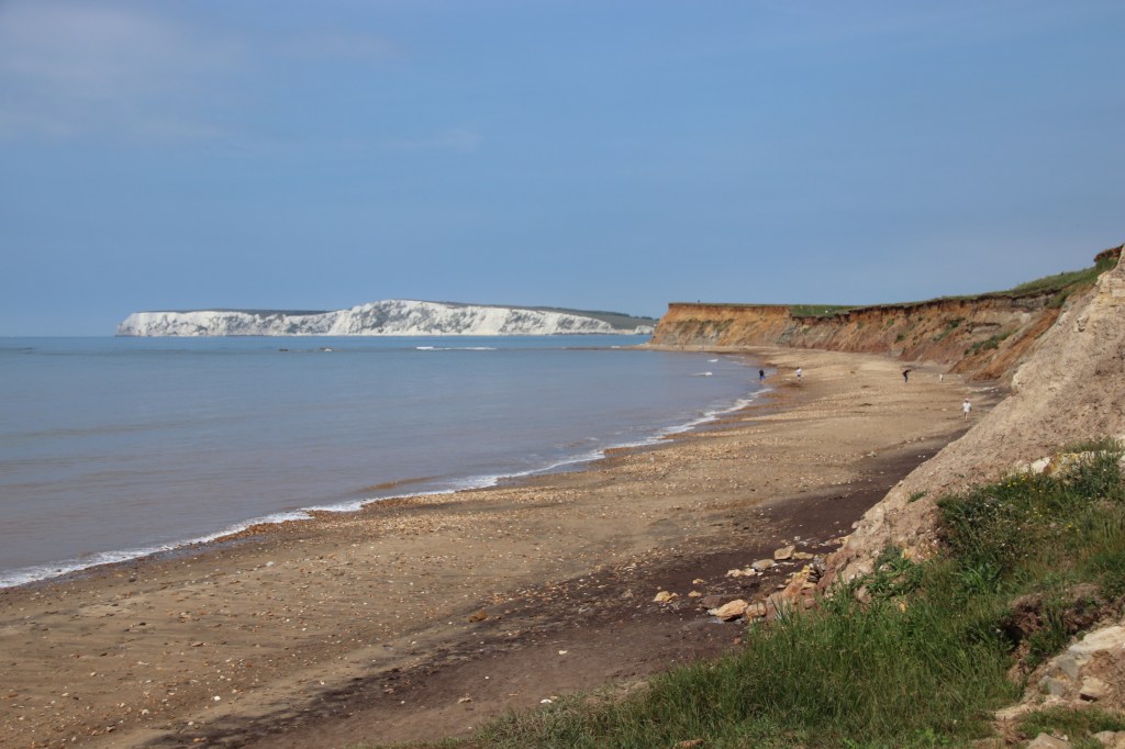
I then drove through the Overcliff. This stretches all the way along the coast. For a while it is wooded on its upper slopes sprinkling shadow and shade below. The lower road is closed due to cliff slip, the process of land slumping down into the sea forming clumps of rocks in front of a receding coast line.

Emerging from the shade of the woods the road runs parallel to the coast with open country and farmland on both sides. Cow parsley conducts the swaying fields of young barley and wheat. Marked footpaths set off to the cliffs and chines, steep gullies, cut down to the rough beaches. Brook Cline is one such.

Freshwater is a quiet resort where the road and coastal path sink down to the sea and then rise up again. It must have been popular with the Victorians judging from the age of the housing.

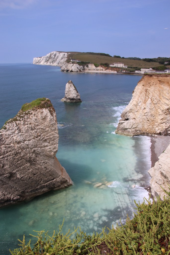
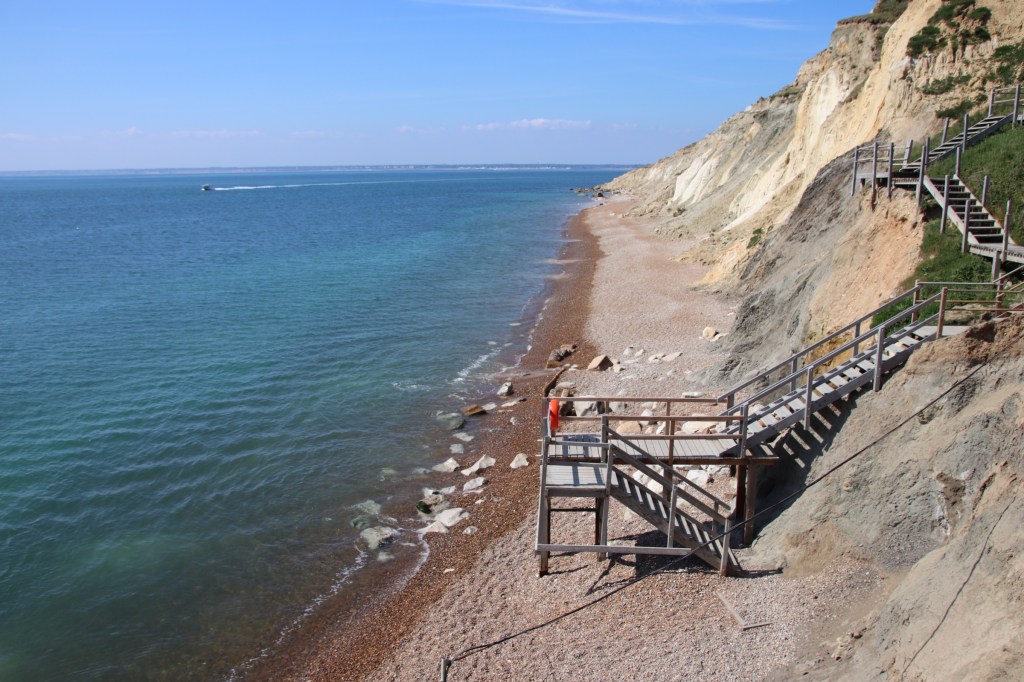
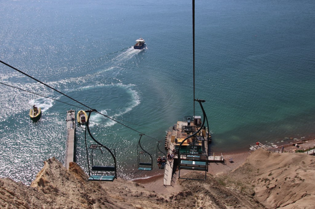
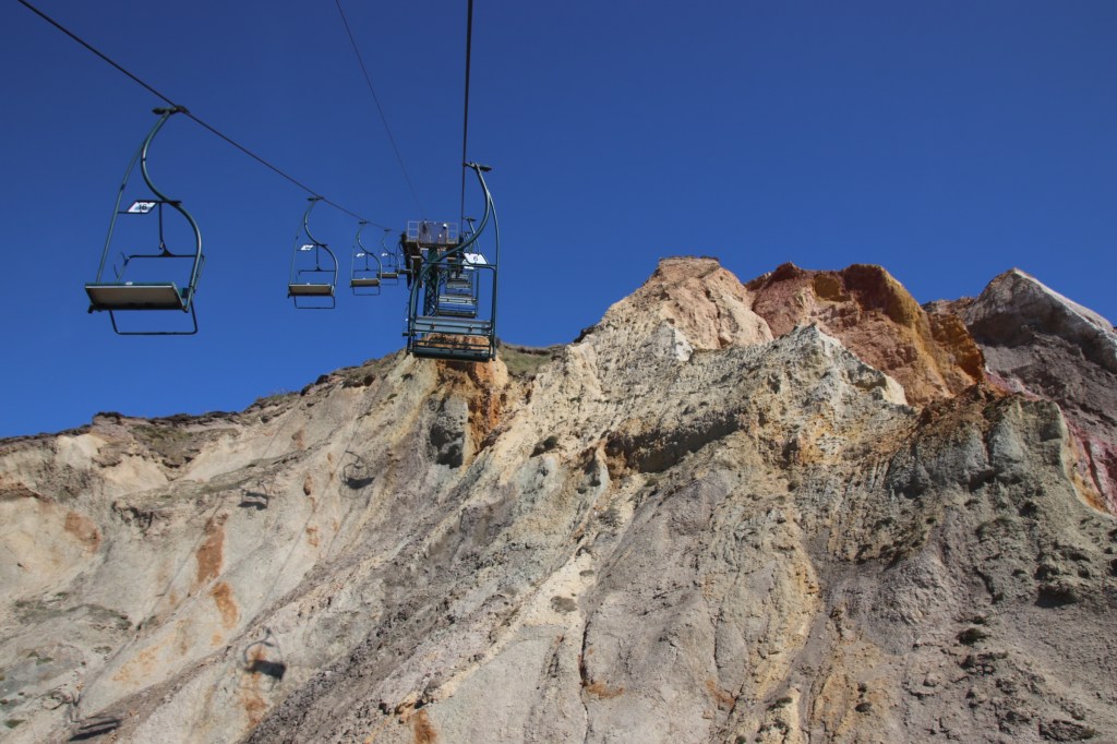
Alum Bay provides the most spectacular view of the beach and the Needles Lighthouse. Of course I went down in the chair lift, and up!

Totland and Colway are very similar, clutched on the coast in a narrow stretch of land, especially at high tide but connected by a sleepy, wild esplanade.

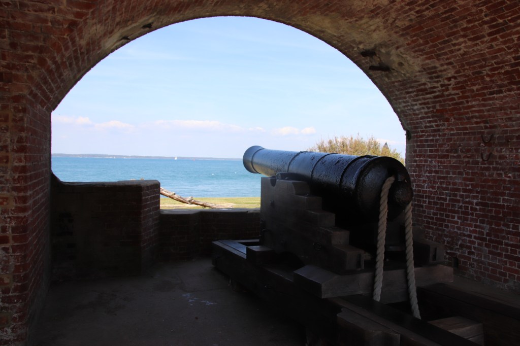
My favourite place of the day was Victoria Fort at Norton. Away from the visitors it is an old deserted battery that was originally built in the time of Henry VII, facing Hurst Castle on the opposite side of the Solent, to protect us from the French. It was further developed at the start of the Napoleonic Wars for the same purpose. It’s even got a slowly disintegrating military pier. It is a peaceful place, calm and settled with a little cafe providing snacks & drinks from one of the battery houses.

I’ll leave you with some images of the charming port of Yarmouth, the site of another of Henry VII’s forts facing out to sea. It has a pleasure pier for unloading visitors from the mainland and next door a terminal for their vehicles as well.

A UK Coastal Trip – IoW Sandown

The sun is due to shine floor a few days, so to celebrate I’m going to foreign climes to add the Isle of Wight to my coastal adventures. Still its goodbye to Portsmouth and a photogenic passage down The Solent.

And it’s hi to Fishbourne, looking a bit llike a Constable painting.

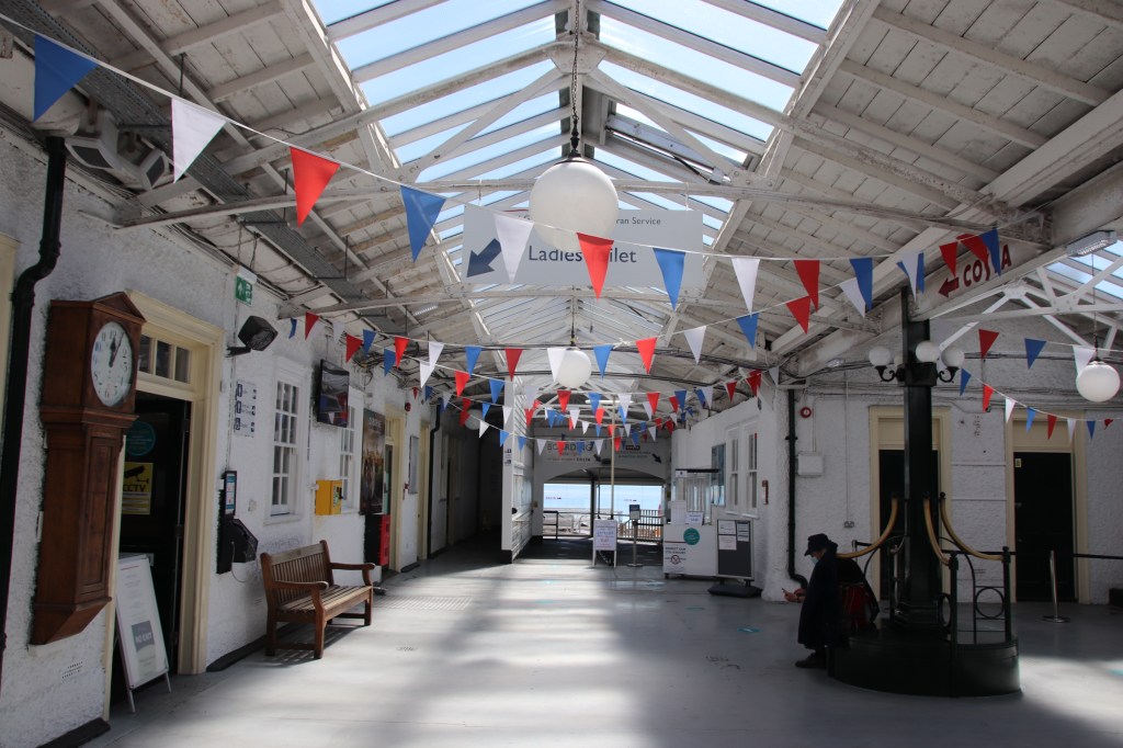
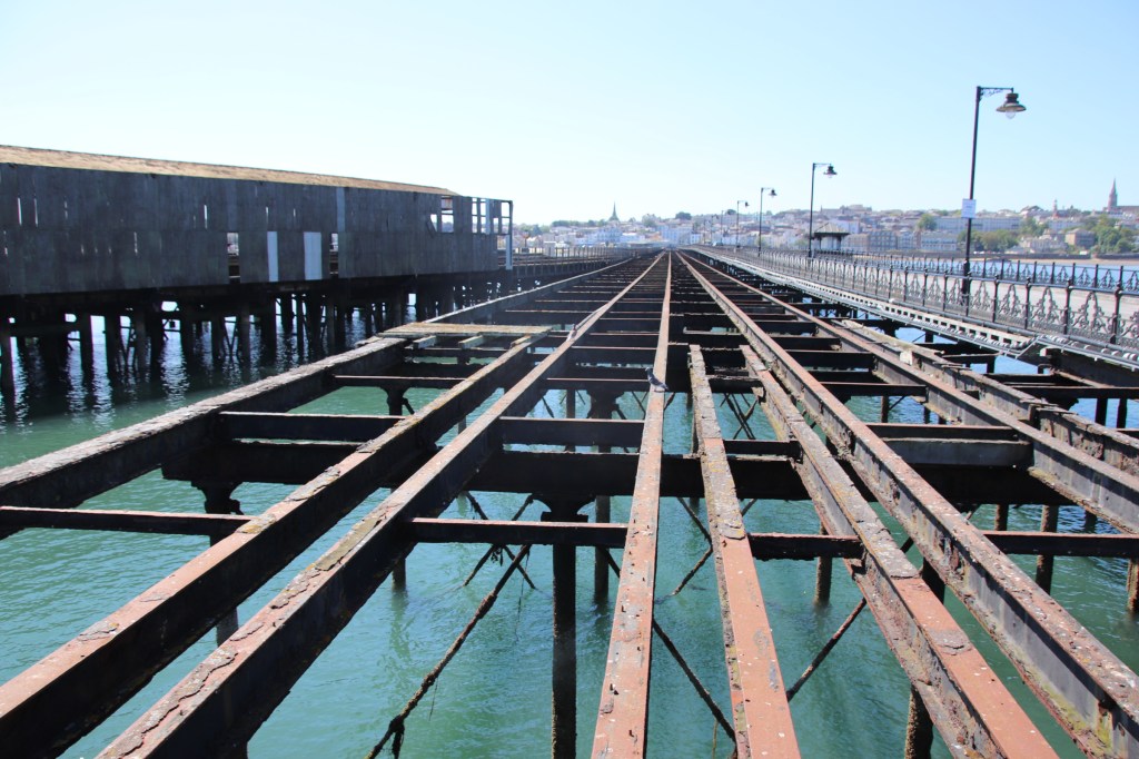
Ryde is just along the coast. Like so many British seaside towns it basks in a former glory. The pier welcomed holiday-makers from the mainland and transferred them to the flesh pots of the town (or the lobster & crab pots). Rusting rails and tracks must have carried several trains at the same time. Today it acts as a terminal for the passenger ferry from the mainland and the end of the pier acts as a car park. It is a novel feeling to drive along the wooden planks to the tatty space at the end.

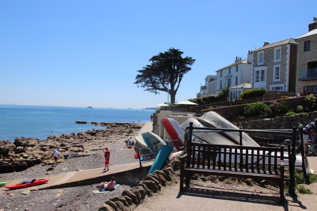
I rather lliked Seaview. A quaint Edwardian resort town facing over the Solent. It has a calm atmosphere set off by a front with well maintained houses and bars around the Yacht Club. With the tide in, the rocks are prominent providing coral-like sculptures before the smoother saves are exposed with the receding water.

St Helen’s is in a prime location at the end of a popular beach for water sports.

Then we are into the Blackpools of the south coast. First is Sandown.

Then there is Shanklin, with Sandown’s pier in the background, a bit like an older, bigger brother looking over it.

A day of metal work in the north west

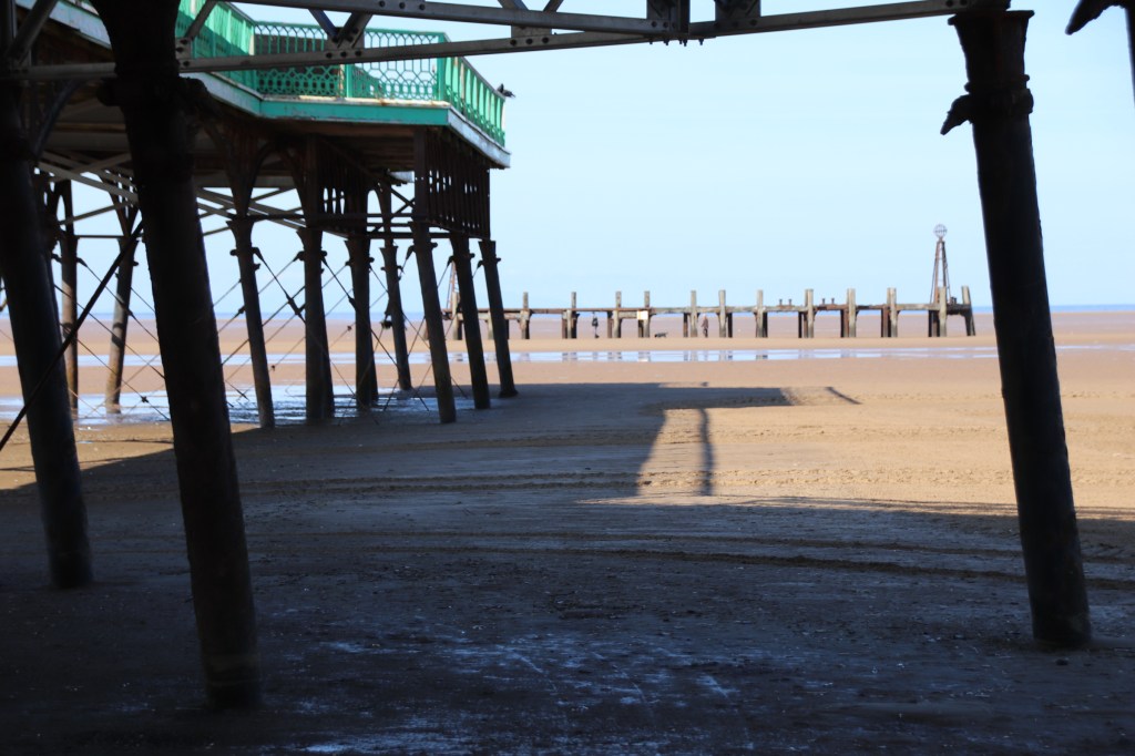
Well, if Morecombe and Blackpool were the cheese yesterday, then I saw three lots of chalk to balance them out and they all centered around constructions of metal. The first on my journey down to Liverpool was at Saint Anne’s on the Sea, namely St Annes Pier built in Victorian times. I haven’t worked these tides out. Based on past experience I thought the tide would be in during the morning. Well, as you can see when I arrived at nine or so it was well and truly out. The pier is looking a bit worse for wear and it is reassuring with the presence of a couple of vans and a couple of guys and the sound of Maxwell with his hammer coming from inside means it is getting some TLC and will be returned to its former glory. Even in this dilapidated state it has a certain charm.

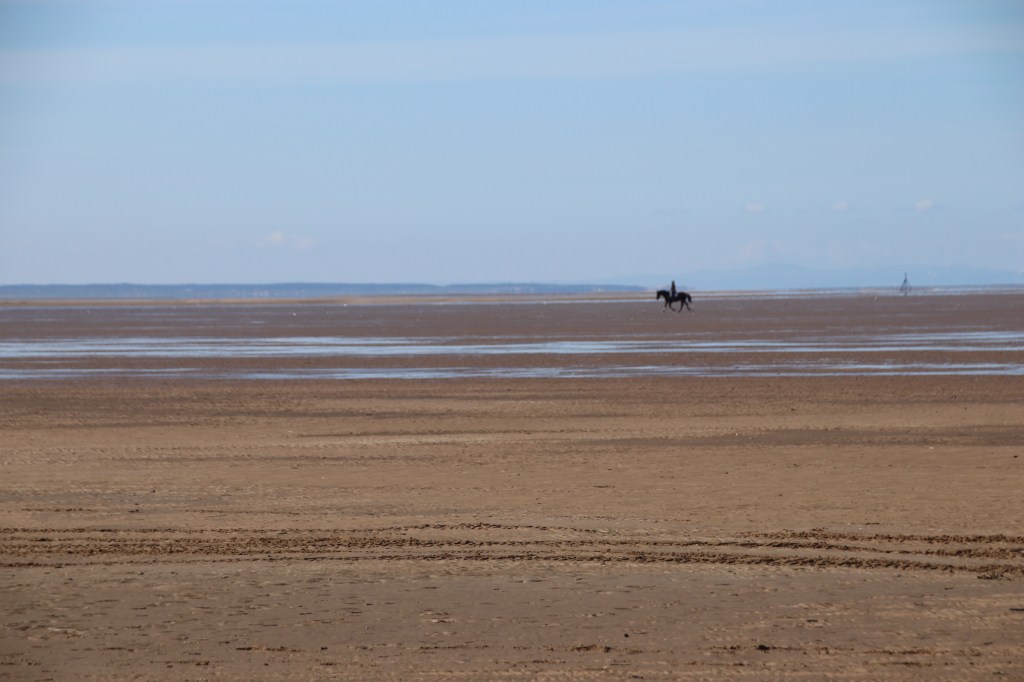
A guy on a tractor was giving the beach an early morning sweep. The impression that he was preparing the dressage course was further enhanced by the rider in the distance down by the shore.

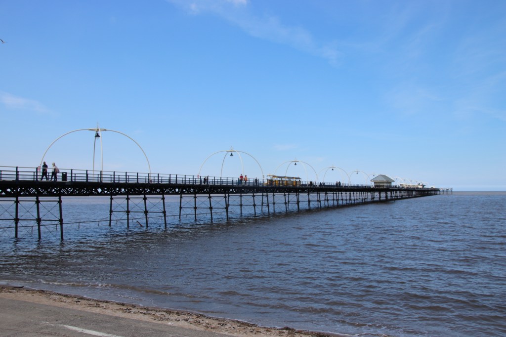
Further down the coast is Southport. This has real character as an old, Victorian resort. What used to be the seaside promenade, complete with ornate teraces, glass-covered frontages and wide, leafy boulevard-style streets is now several hundred metres from the sea, positioned above reclaimed land covered in superstores and fast food restaurants.

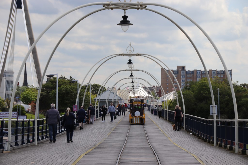
The Victorian pier links the two. It starts up by the old promenade and emerges onto the beach between the multiplex & 10 pin bowling alley on one side and McDonalds & Pizza Express on the other. Pedestrians can climb up wide steps onto the pier here. Once there, you realise that this is the half-way point. Although there are rails set into the wooden planks, the two little trains that chug up and down run on wheels. Shame. The tides confuse me again – high tide right up to the sea wall!

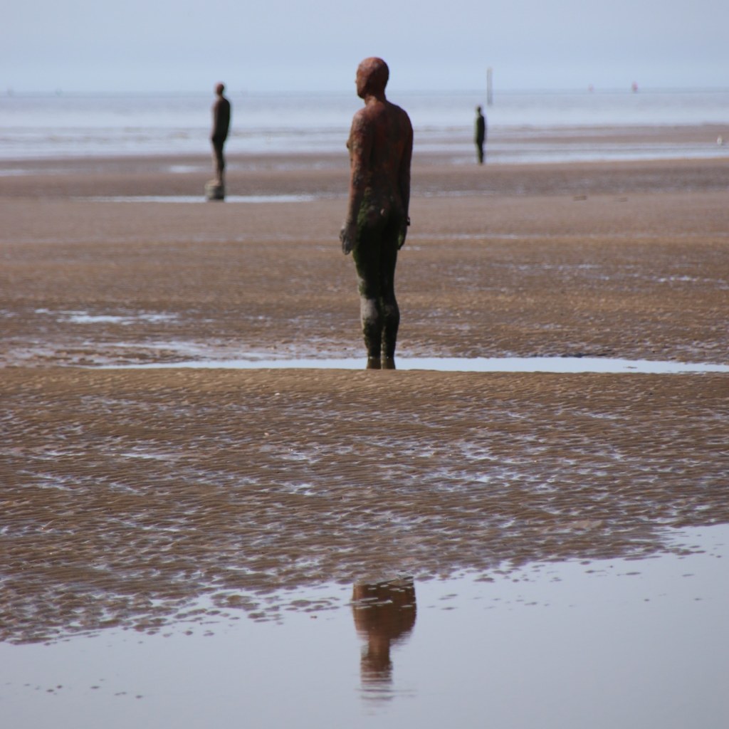
Corby is another journey down the coast. On Corby beach is the piece de reresistance (French spelling not good) – an Antony Gormley installation entitled Another Place. 100 life-sized sculpures are placed on the beach, facing out to sea. There seem to be three lines over several kilometres. As the tide moves in and out so figures are covered and exposed. From a distance it is hard to tell which is human and which is metal. The ones here are all metal. Confusing tides again, though as I expected – going out.

Chalk or cheese in the north west

The day started in Grange-over-Sands, a picturesque place on one side of the estuary of the River Kent. The railway runs along the coast and through the town. I drove to the opposite bank to Arnside, another pretty place where the railway crosses the muddy expanse of the river. A pier was built here to allow boats to unload their cargoes as their progress upstream was then blocked. The scenery remained outstanding even if the weather proved disappointing.

I’ve not a lot to say about Morecombe other than the tide was in. The most prominent feature of the town is the exceptionally sturdy sea wall that doubles as a wide promenade. I don’t know if this is the chalk or the cheese but it’s certainly different. The statue of Eric Morecambe was the best thing.

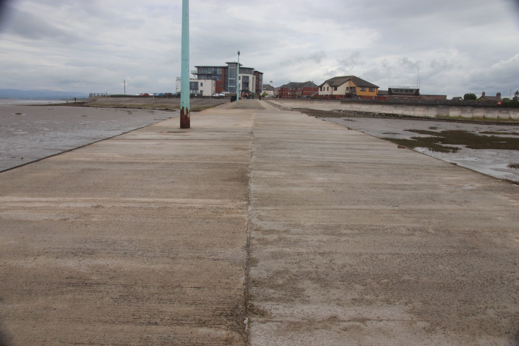
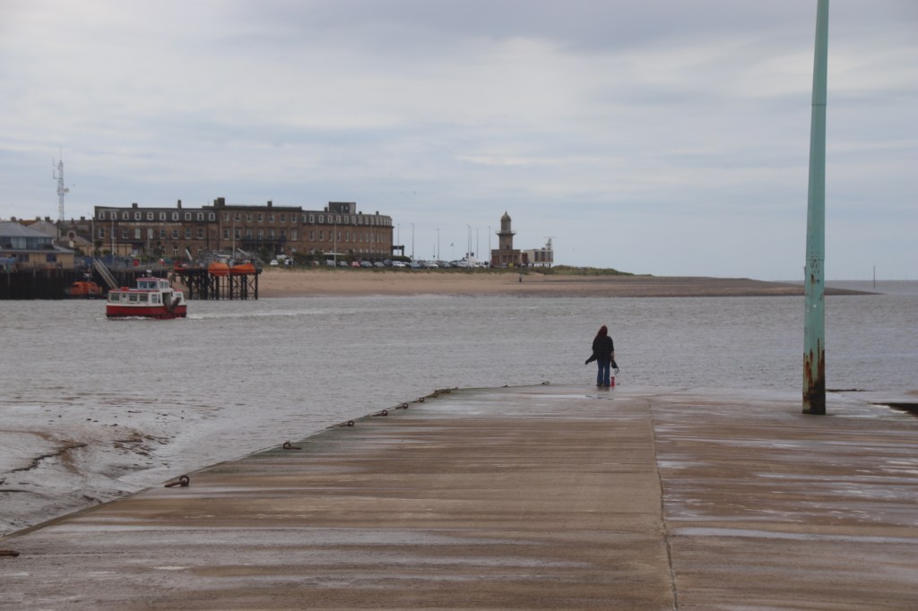
Further down the coast I came across the marvelously named Knott End on Sea on the north side of another estuary, that of the River Wyre. A pretty ordinary place, the one one thing it has going for it is the ferry that links it with Fleetwood, that from a distance seems to have historic landmarks in the form of docks, barracks and a lighthouse.

When I arrived the tide was in, licking right up to the shoreline. An hour later the sea had disappeared into the far distance leaving stodgy, sticky mounds of muddy, silty sands with winding channels and standing pools. This a characteristic of this coastline. It is very shallow out to sea so when the tide goes out it vanishes very fast and when it turns it comes in equally swifty. This can prove extremely hazardous for anyone venturing out onto the sands/mud.

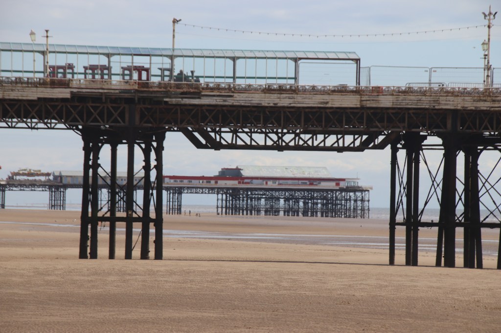
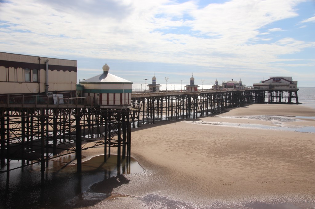
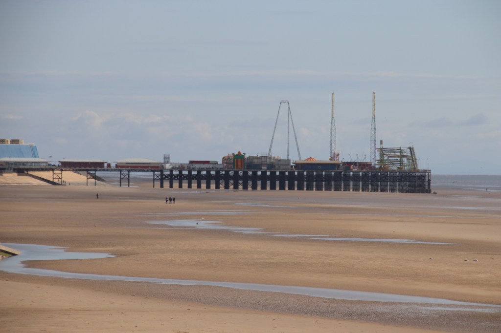
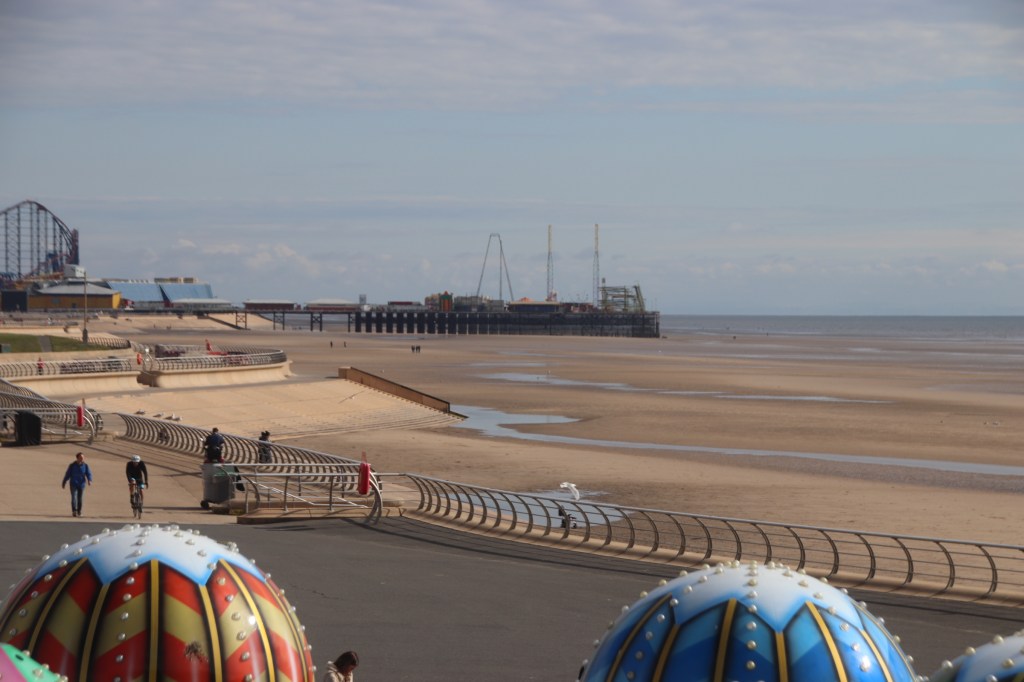
And then there’s Blackpool. The capital of England’s Pierland – after all its got three.

Many see Blackpool as THE place for a seaside holiday. A holiday heaven. I’m not going to express an opinion. I’m going to leave you with images of the resort from Cleveleys in the north down to the Pleasure Beach to the south and let you make your mind up. The coastline is pretty uniform this whole distance – vast sea defences extend the whole way, acting as a promenade and a cycle way, a tram line runs parrallel to this with a the coast road beside it. Then the resort proper starts, fronted by hotels, B&Bs, guest houses, bars, restaurants (every 4th one seems to be a fish & chip shop), arcades, casinos.

So is it Blackpool that is the chalk or the cheese? It’s all very different.

A UK Coastal Tour – Barrow-on-Furness

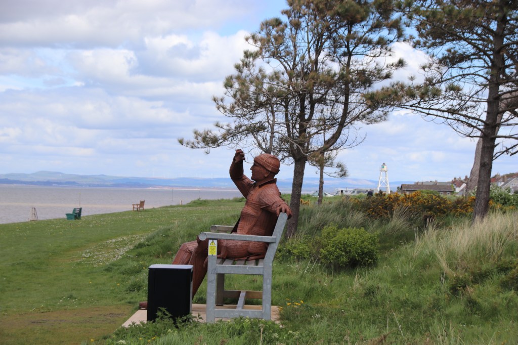
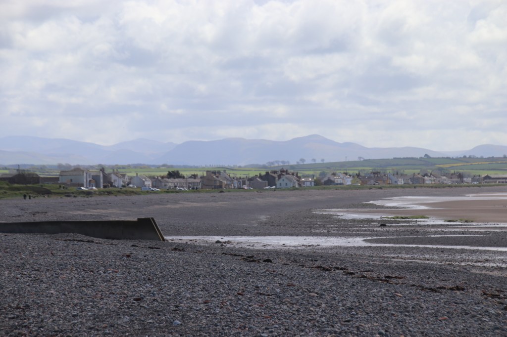
A sandwich of two grey, cold parts with a filling of warmer, clear blue skies in the middle helped to make moody & atmospheric images, whatever the subject matter. I spent the day driving down the Cubrian coast nibbling the edge of the Lake District – always there, always gloomy, always menacing and threatening to hide my scenes in a multi-greyed blanket; yet always there to awe & wonder at its beauty of shape and colour and texture and feel. Kept me company all day.

First stop Whitehaven, although it was more Grey/Blackhaven. The inner harbour houses the marina with sea defences that look sturdy enough. Around the edges a wide, stoned, quay fronts converted merchants houses, warehouses and terraces of workers’ cottages, many with painted windows and doors to add to their grandisement.

The outter harbour protects the inner harbour and provides all the technology like markers and lights.

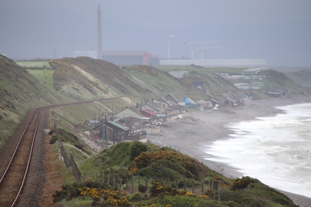
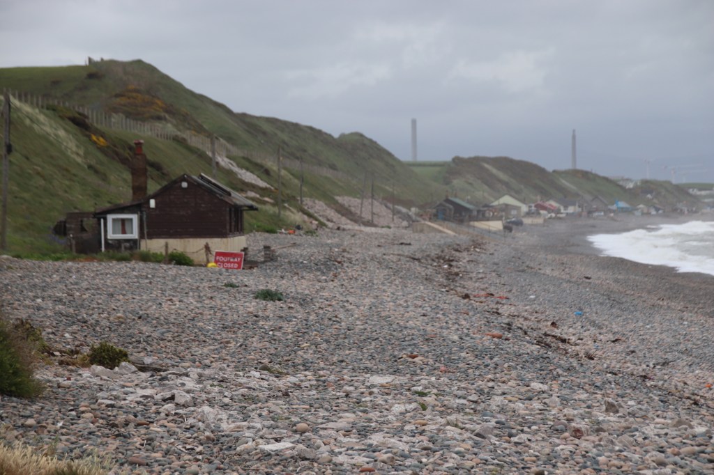
Over the railway and along the beach at Nethertown, I discovered not a town but a wonderful beach community of shacks and sheds, all inhabited.

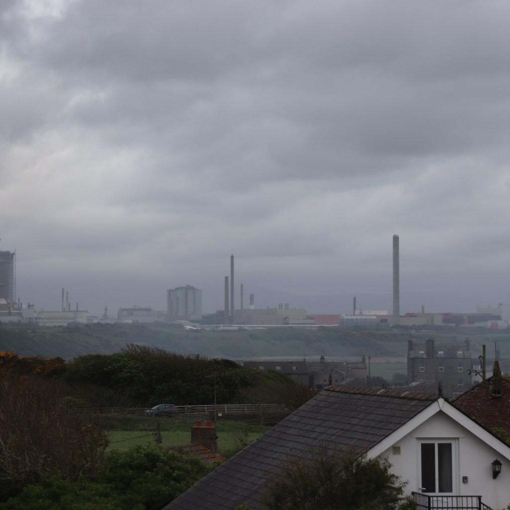
Sellafield Power Station appears from the gloom, dripping menace along the coast.

The sun begins to break through in Seascale.

The beach at Haverigg is best seen in this light with soft-sanded dunes anchored in tall grasses which hide the village.

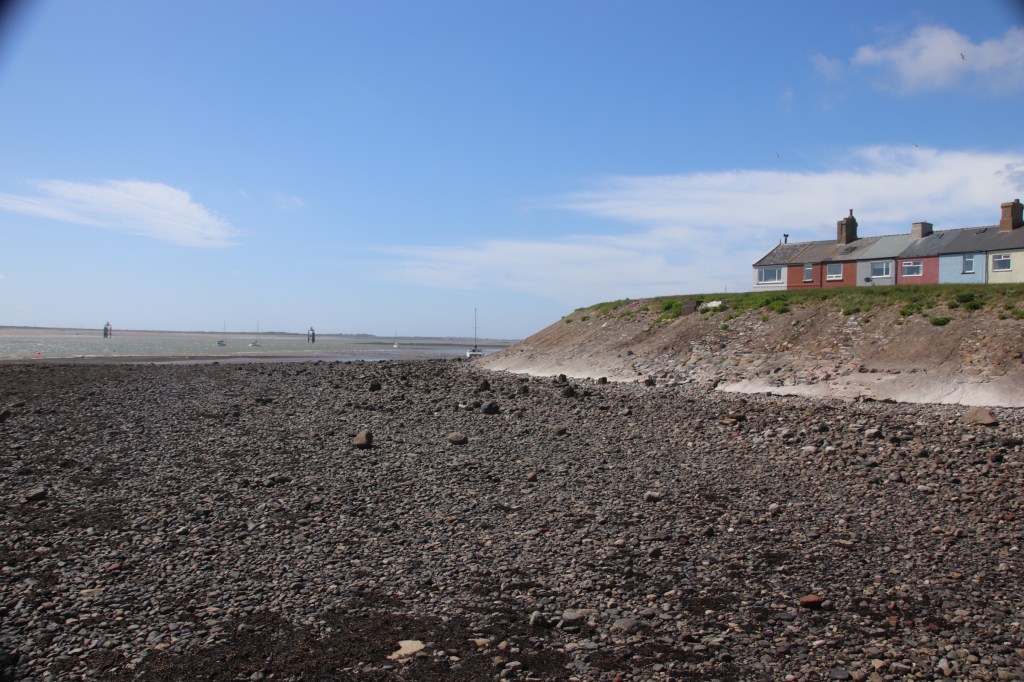
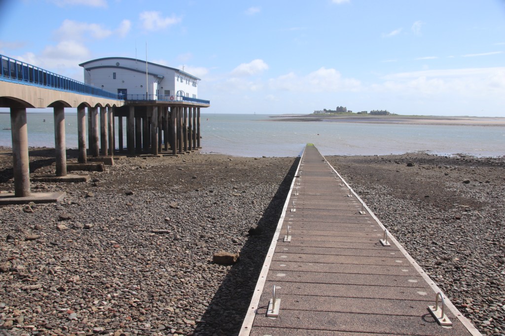
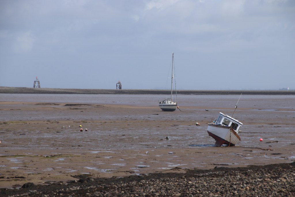
Roa Island is reached by a causeway. By now the tide is almost out and the huge expanse of soft, treacherous sand is fully exposed. Markers indicate where spits and banks are a danger. Ruins of Piel Castle are marooned off shore with no way of reaching them except by a local ferry in summer season.

The surprise of Barrow-on-Furness is that once through the industry, the ship building sheds and the grids of workers’ housing there is a long, stony beach for family enjoyment, lined by a wide grassy space and a short backdrop of ordinary housing.

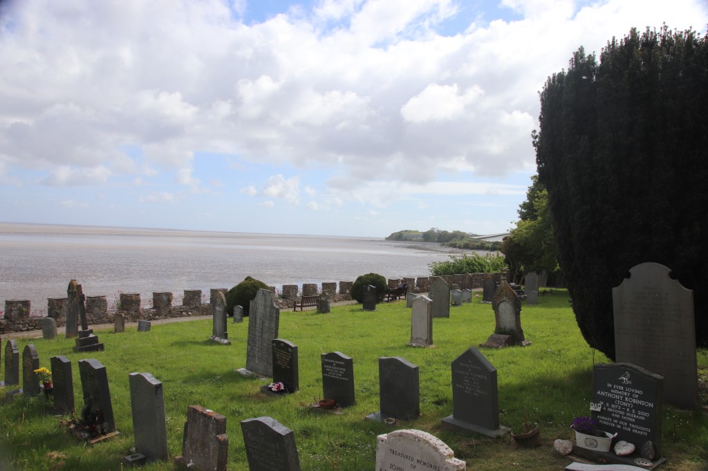
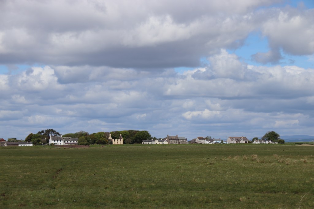
St Cuthbert’s Church at Aldingham finishes the day well as grey clouds start to move in again.

A UK Coastal Tour – Maryport

Yayyyy. On the road again. My first road trip for nearly two years. My coastal project was getting rather lost so what better way to celebrate the easing of restrictions than to get in the car and head north. I decided to drive straight to the top and then pootle down the coast dropping into every coastal settlement on the way. North of Wigan I started to get that hit of adrenaline. Lancaster came and went ad the Lakes started to form on my right. A heavy, damp sky squahed down on the rising moors, hiding their high lines and promise. But then, as I leave the motorway, patches of blue appear. Yes, real sailor’s trousers. The ruler-straight road runs across open countryside with frolicking lambs, lazy cows and untidy, working farms.

First stop is Skinburness, on the Solway Firth and the Irish Sea. I approach the village from inland. Then flip out over to appreciate its sturdy sea wall.

It merges seamlessly into Silloth, a few miles down the coast. It feels like something out of the past with freshly painted frescos on tall, rendered buildings advertising hotels and coffee lounges and pubs. Sounds grand but feels old. That impression is enhanced by the fact that the bumps and dips of the main streets are cobbled. Still it has a charm.

Allonby is a cluster of pale, sea-worn terraces. Low sand dunes, anchored by grasses, divide the beach region from the humans.

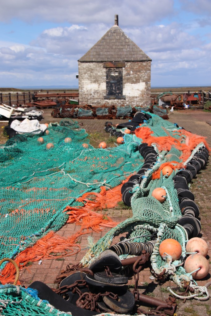
The town of Maryport is an ordinary, working fishing port. Some new development has taken place around the harbour itself which has a special character of its own. New apartments rub shoulders with operating fishing boats and the fish merchants and there is evidence of past industrial activity in the form of sheds and machinery.

The largest town up here is Workington. The River Derwent meets the Irish Sea here. There are beaches but none you can really get to. The view to the Lakes is awesome.

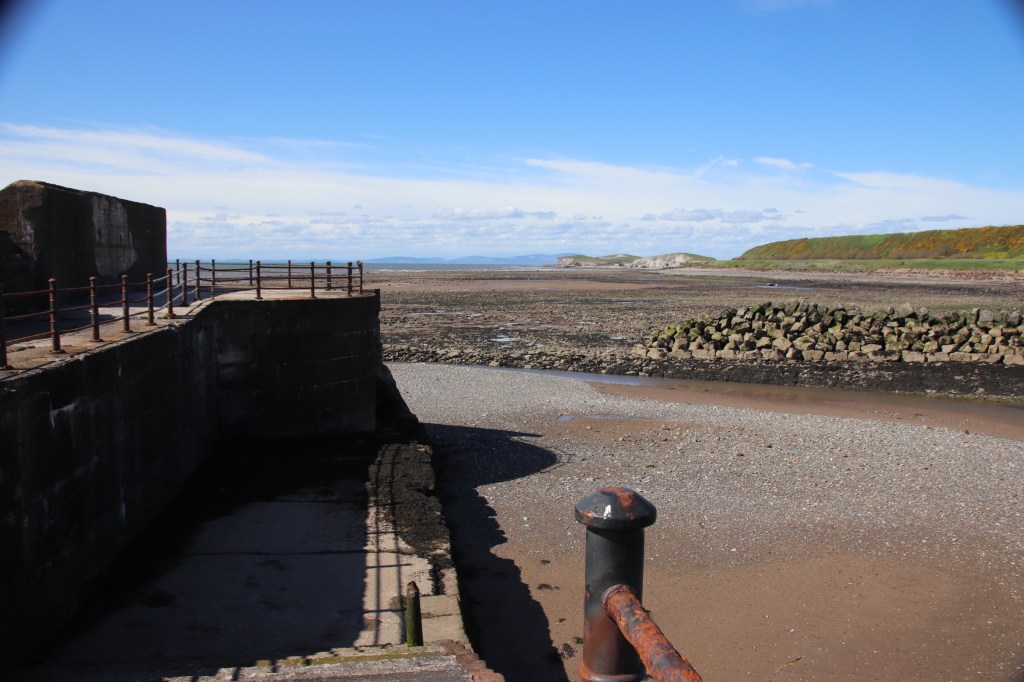
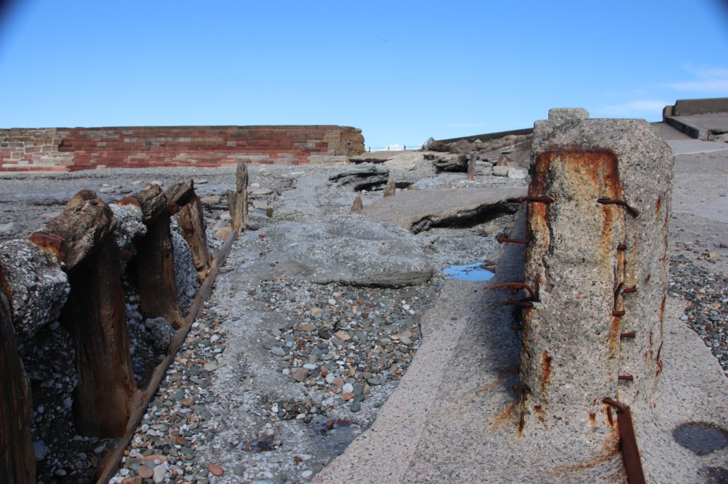
The final stop for the day is Harrington. Another normal place with evidence of past glories in the remains of sea-weathered timbers and rusting hooks and brackets on the old pier that defends the village from the sea and overlooks the bays and headlands that spread up and down the coast.

Tewkesbury in between the showers

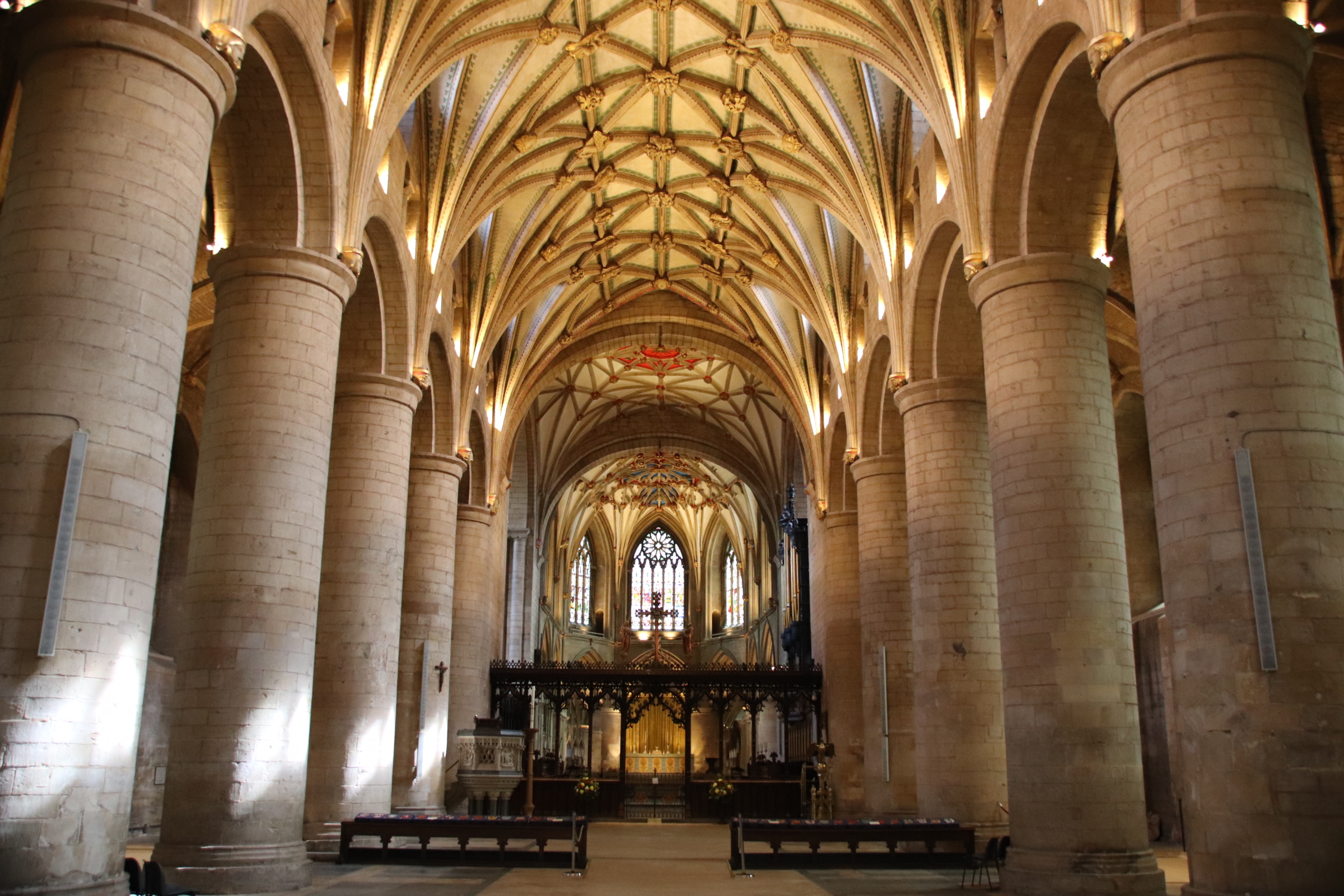
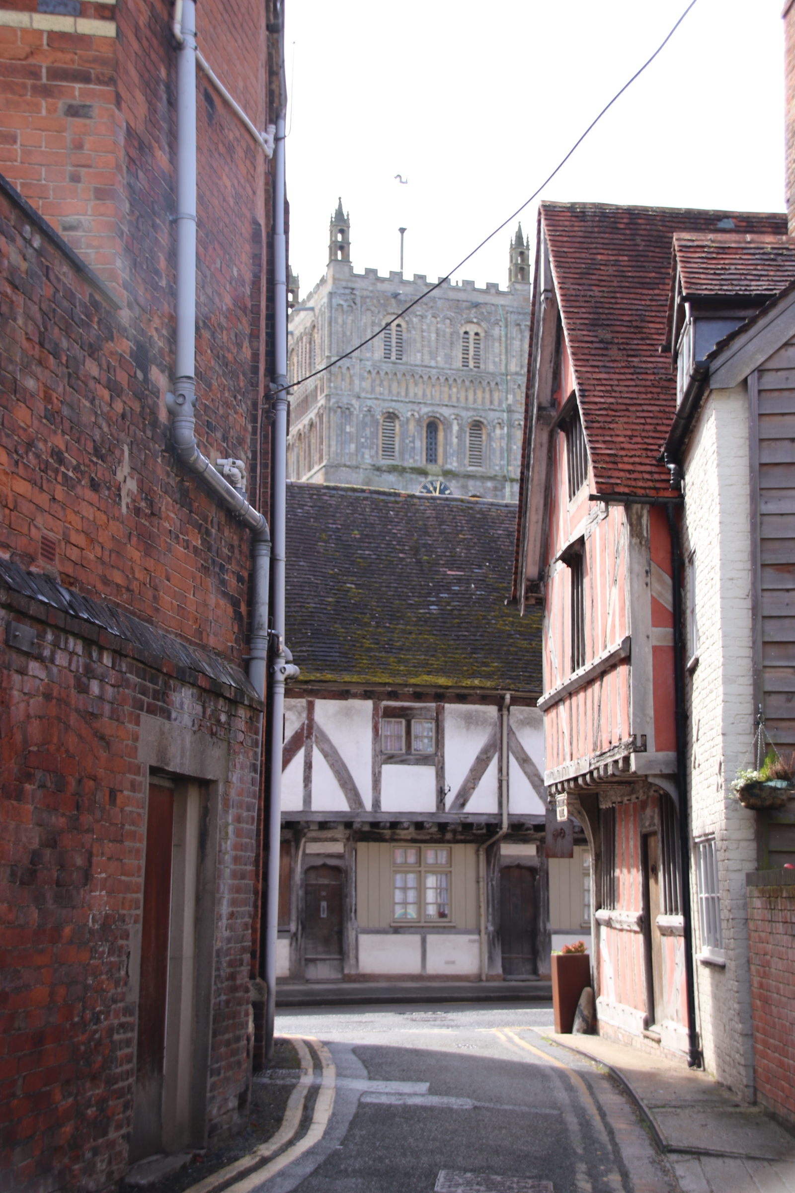
Cutting between the terraces of Tewkesbury’s medieval and Georgian buildings, dark alleys (30 or so remain from the original 90) lead down to the river banks of the Severn and the Avon. It was here, at the confluence of the two, that Tewesbury Abbey was consecrated in 1171. It flourished, dominating the town’s skyline, until The Reformation when King Henry VIII sold it to the town for £453.

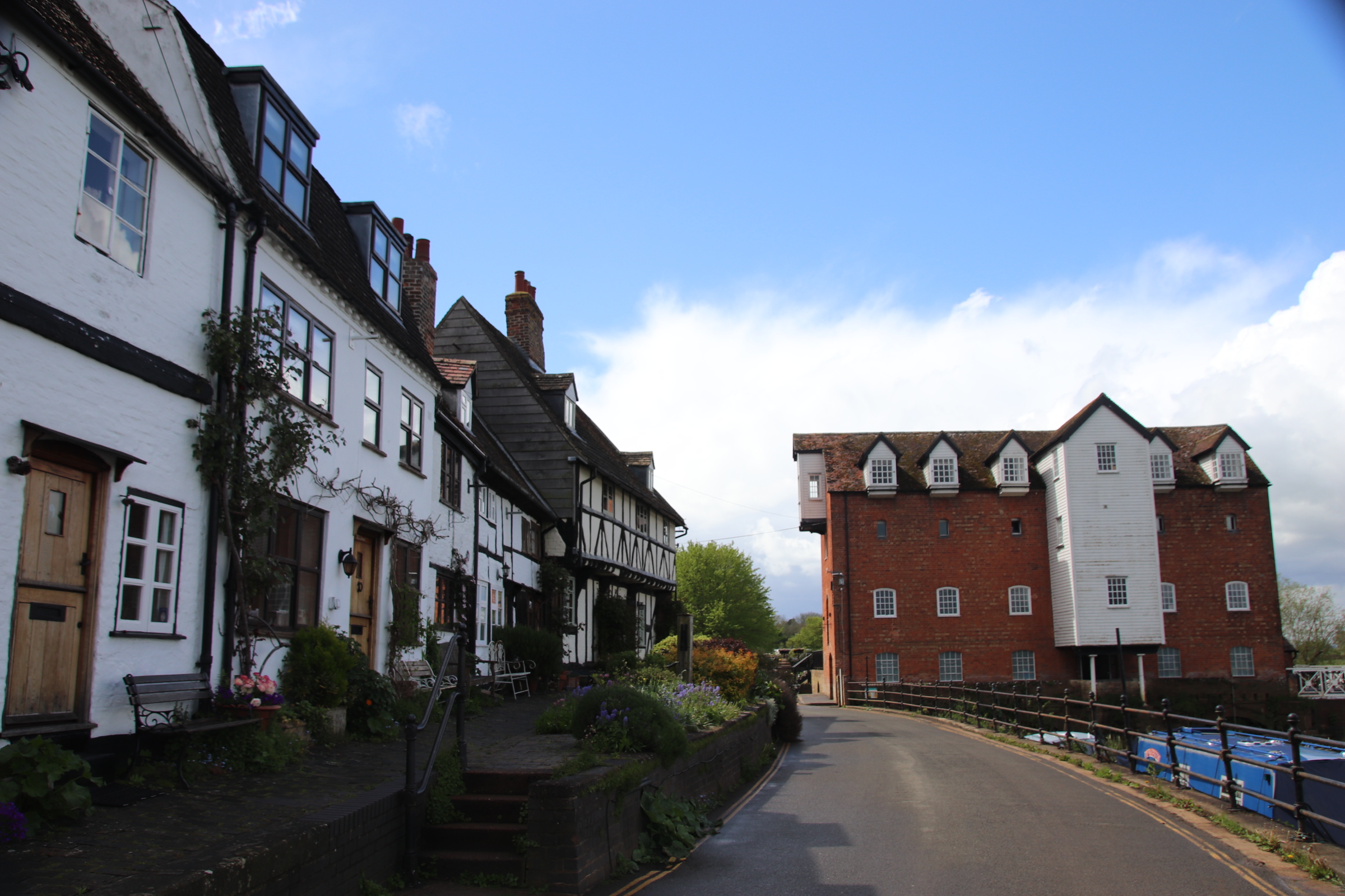
The alleys cut down from the main street and the numerous churches. Small, medieval & Tudor cottages would have housed boatmen and their families whilst the merchants and traders inhabited the grander properties away from the rivers. Large mills had been situated on the banks over centuries, both for ease of bringing in raw materials and sending out finished products and, of course, using its flow as a source of power. Few are still in operation and while some remain unused and in a delapidated state, others have been converted into residential accommodation and apartments.

Ludlow – ‘Probably the loveliest town in England’

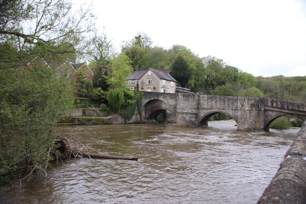
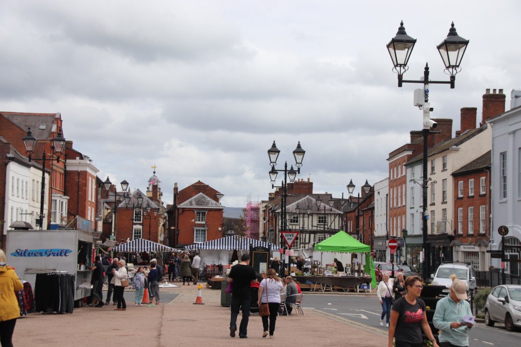
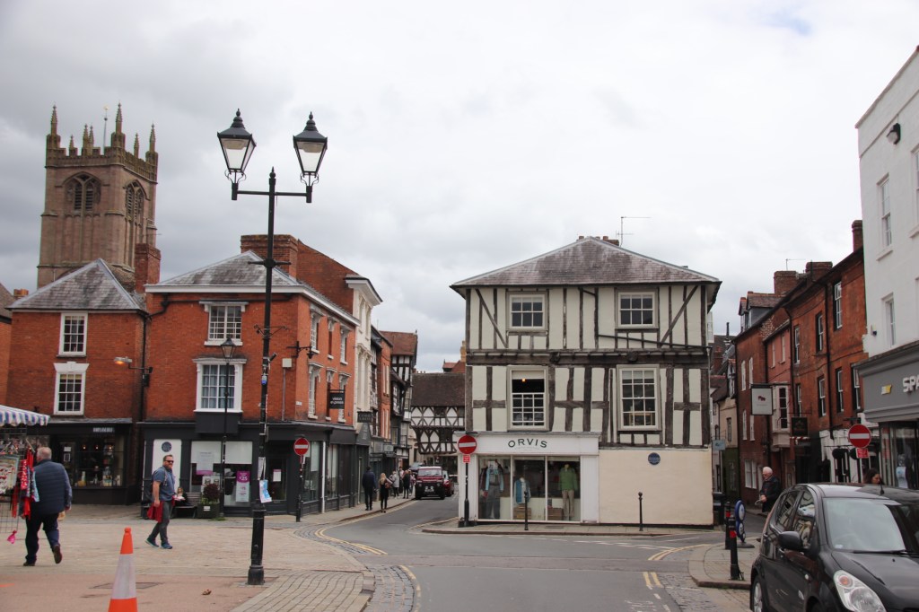
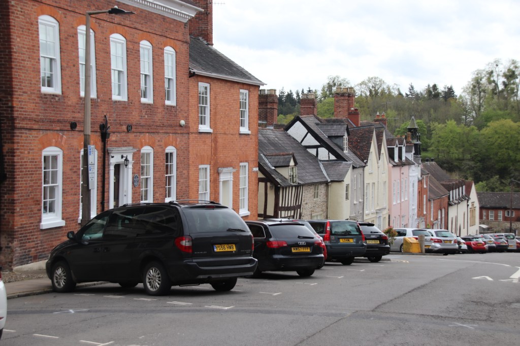
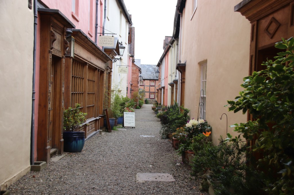
Ludlow needs a page all on its own. The moment one crosses the old town bridge over the Wye, you are travelling back in history. This is the capital of BluePlaqueLand. Every other house seems to display such a plaque, with information about local and national characters, families and events dating back over 500 years: this building burnt down and was rebuilt in the Civil War; this is the town house of Charles Wesley’s wife’s family whom he married in 1749; this dates back to the 13th century and was used as the town prison, the hospital….. and on it goes. John Bentamin describes it as ‘ probably the loveliest town in England’. I cannot disagree.

Ludlow Bridge was built over the River Teme in the 15th century. It required some modifications in the 18th centuries. The Domesday Book records a mill here and over the centuries numerous weirs have between constructed to power cloth and corn mills. After 1600 these are converted into manufacturing paper, lace, leather and brass. After 1850 the mills gradually ceased production and have been converted into residential properties.

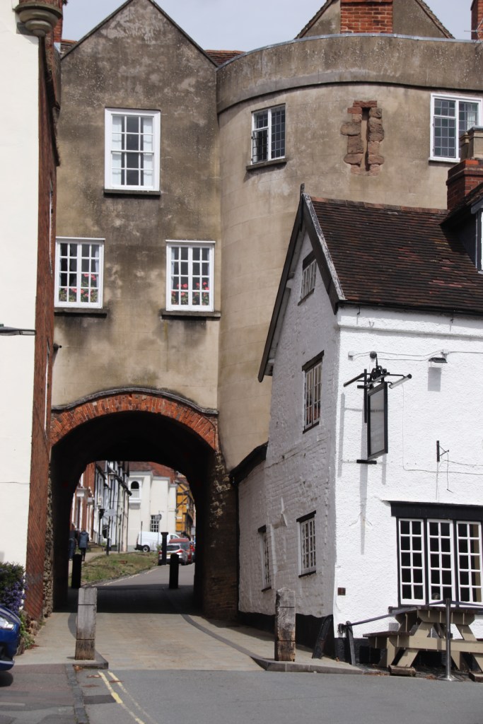
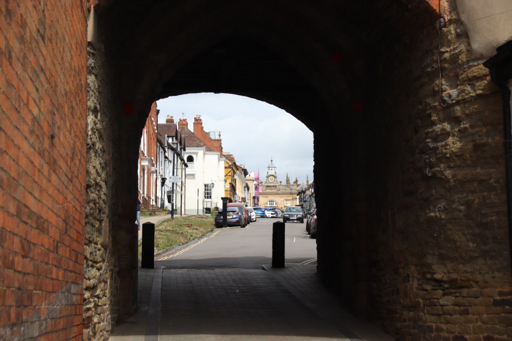
Once over the bridge, the full magnificence of this medieval town can be seen. The south gate is straight ahead.

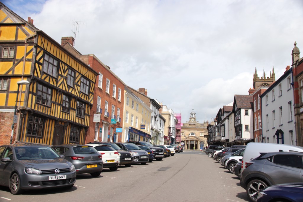
The Buttercross stands at the top of the hill overlooking the elegance of the streets before it. Built in 1746 it was originally a, yes, butter market. Between it and the castle is the open market place, lined with wonderfully presented Georgian proprties.

In a prime, defensive position above the river, Ludlow Castle was built in Norman times to hold back the Welsh. It was extended and became Crown property in 1461 and remained such for 350 years. It was abandoned in 1689 and quickly fell into ruin. Since 1811 the castle has been owned by the Earls of Powys who halted the decay and opened the castle to the public.

The glory of Ludlow is the lanes and streets of Georgian buildings, with a few medieval and some Tudor-style half-timbered properties mixed in (over 500 are listed), that spread down the hill from the security of the castle, the trading of the market square down to the industry of the river. Owned by prosperous wool and cloth merchants and traders, these terraces are grand and elegant, and beautifully maintained. And it’s not just one street. Every street leaving down the hill in a grid pattern is lined with attractive, gob-smacking quality.

If you have not yet sampled the delights of Ludlow, you must put it onto your ‘must visit’ list. Not only is there this amazing collection of historic buildings and architecture (we tried, but we could not find a single duff building in the whole place), there is also a market every day of the week, numerous festivals throughout the year and it has a reputation for good food and fine dining. Even the van in the square did excellent bacon and Cheddar rolls for £2.50 – what is not too like?

Hereford in the rain

Hmmmm. Grey, water-sodden skies never show off a place in the best of lights and the city of Hereford on a wet, dull Saturday afternoon is no exception. So I’ll try to share its good side despite what the weather threw at it.

The cathedral hosts the old part of town, down to the old Wye bridge at the bottom of, yes, Bridge Street. Theres’s enough around here to spark the dampest interest. And it’s dry inside!

Maybe a blue sky would create a better impression!! The images would at least bring more cheer!